free to be able to rate and comment on reports (as well as access 1:25000 mapping).
Hewitts: Killhope Law, Dodd, Flinty Fell, Dead Stones, Burnhope Seat, Great Stony Hill, Three Pikes, Chapelfell Top.
Date: 24/02/2018.
Distance: 36 km.
Ascent: 1045m.
Time: 8 hours, 20 minutes.
Weather: Sunny, hazy, very cold wind.
I decided it was finally time to make a proper visit to my most local 2000 footers in the Pennines today - other than a brief through-route on my bike, I hadn't visited the area at all. To be honest, you need to be in the right frame of mind for some of them, and have the right forecast. Add to that some rather convoluted public transport and it's no wonder I've been to the Lake District more often!
Saturday promised to be cold and clear, but crucially the next promised dump of snow had not arrived, so things looked perfect. I was about to embark on a 20 mile-plus walk which would be mostly pathless, and mostly over peat bog, so as you can imagine, I wanted the ground to be as hard as possible.
Getting to the start wasn't too bad - a train to Hexham followed by a bus to Allanheads, and I was on my way by 9:40am. Another guy got off the bus at the same place as me, also bound for Killhope Law, and we chatted for a bit before I pushed on.
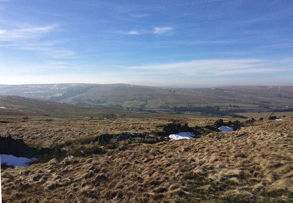
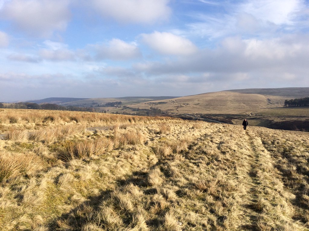 Allandale from the Carriers Way
 I followed the Carriers Way - a track up onto the moorland which took me to a shooting hut within a few minutes of the summit - a good easy start to the day. While the day was sunny (if rather hazy), the first thing I noticed off the bus was the freezing, gusty wind. It wasn't that strong, but it whipped around and seemed to get into every corner.
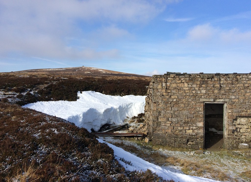 Shooting hut on Killhope Law
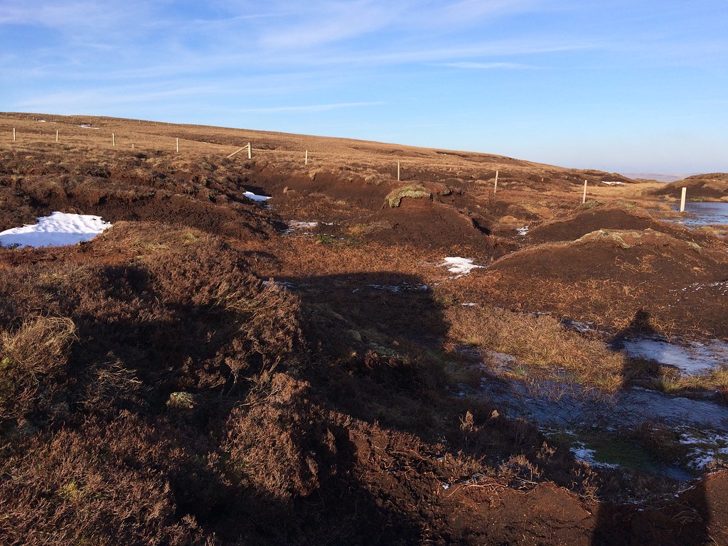
 After leaving the summit of Killhope Law, I was soon in amongst what would become default territory for the rest of the day - hags, hags and more hags. Fortunately, as predicted, the ground was nicely solid for the most part, and I was able to cross the ground with not too much effort.
 Hags on Killhope Moor
 There is certainly a lot of space on these hills - it took me a little while to get myself orientated, and I soon realised that the insignificant pudding away over to my right was actually my next summit. From the point where I crossed the Allanheads - Nenthead road, it was downhill, and the summit actually looked lower than the road!
 The Dodd from the road crossing
 It was quite a pleasant walk to The Dodd, marred by the summit area itself being a maze of hags - a theme for most of today's summits. The highest point wasn't entirely obvious, but I could spy a cairn of sorts on a hag at the far side, so I went over to that.
 Wall dropping off The Dodd into Nentdale
 Dropping off The Dodd was more pleasant. I soon picked up a track which led to Nenthead, and found a spot behind a wall to have an early lunch. The wind was at its worst around here, and I realised that I would be walking into it for at least half of the day

.
 Nenthead from The Dodd
 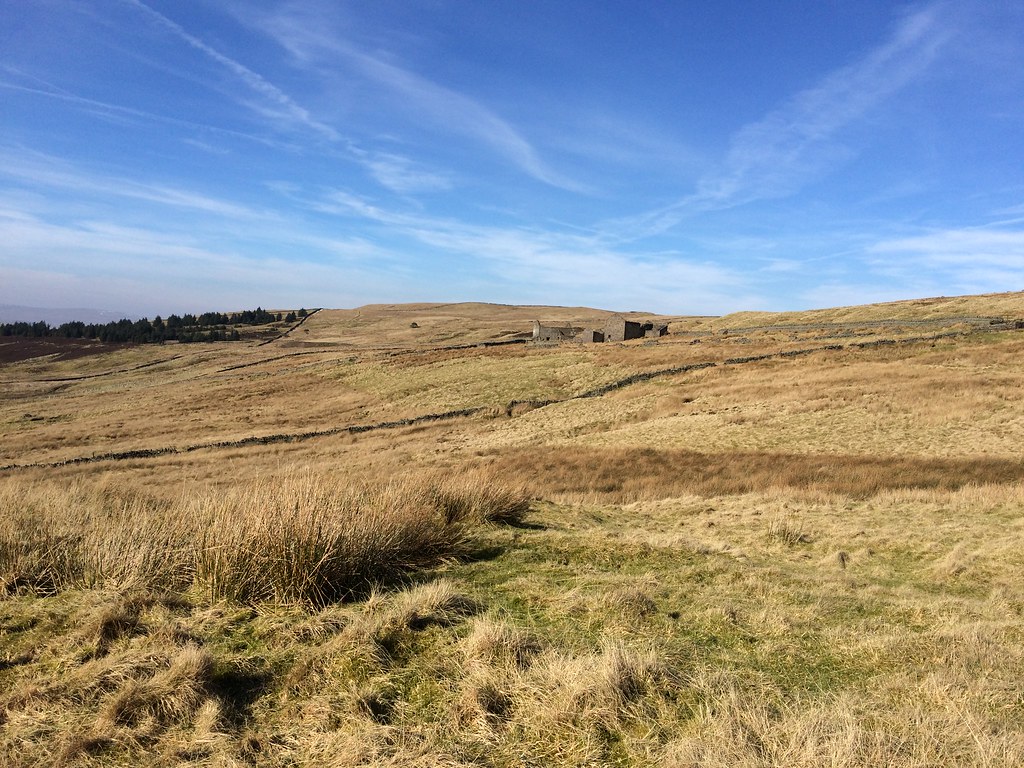 Roughside
 Flinty Fell was probably the least distinct in a series of non-distinguished summits today, but at least it was easy to get to, with a road passing close to the top. There may have been more interesting routes up, but I was happy to stick to the road for now. The actual summit isn't marked on the map, as the high point is a small pile of overgrown workings (the OS tend not to show contours for man-made features).
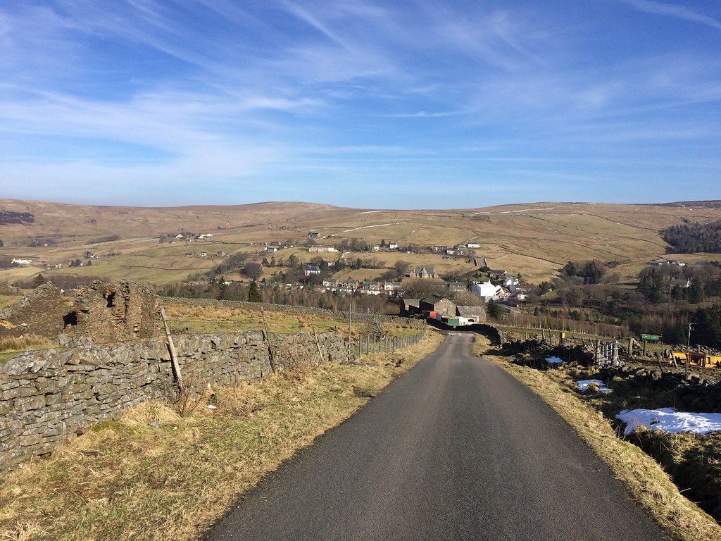 Leaving Nenthead on the road to Garrigill
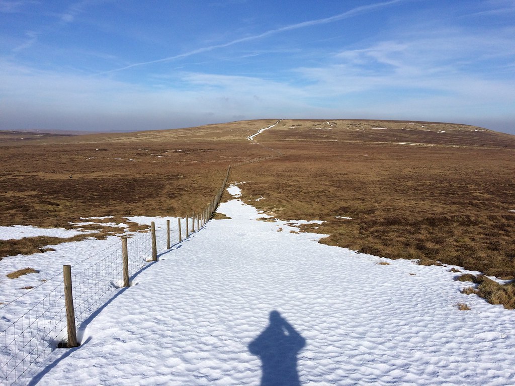
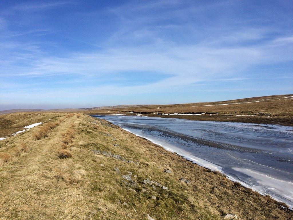
 A mixture of track and frozen bog took me across to Perry's Dam, a small reservoir presumably built to supply the mines at Nenthead. There looked to be a lot of tedious moorland between me and the summit of Dead Stones, where I would be into the real meat of the day - the traverse of the southern watershed of Weardale. Fortunately I found a long tongue of hard snow in one of the gills which led me most of the way onto the plateau.
 Perry's Dam
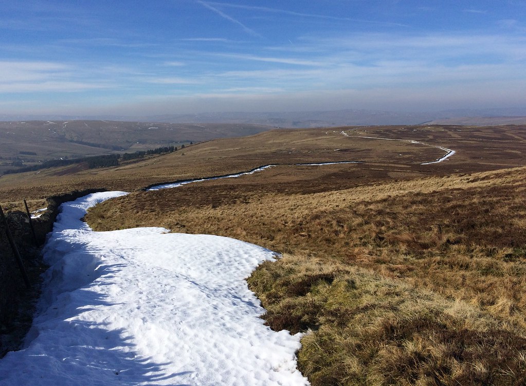
 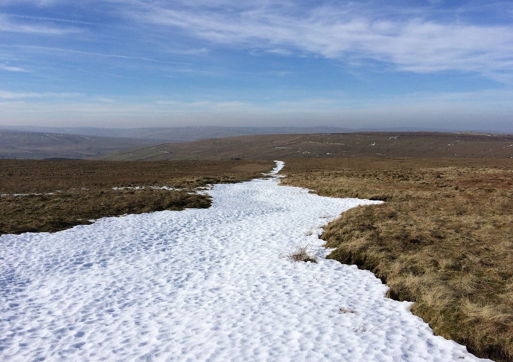 Nice easy snow-filled gill leads to Dead Stones
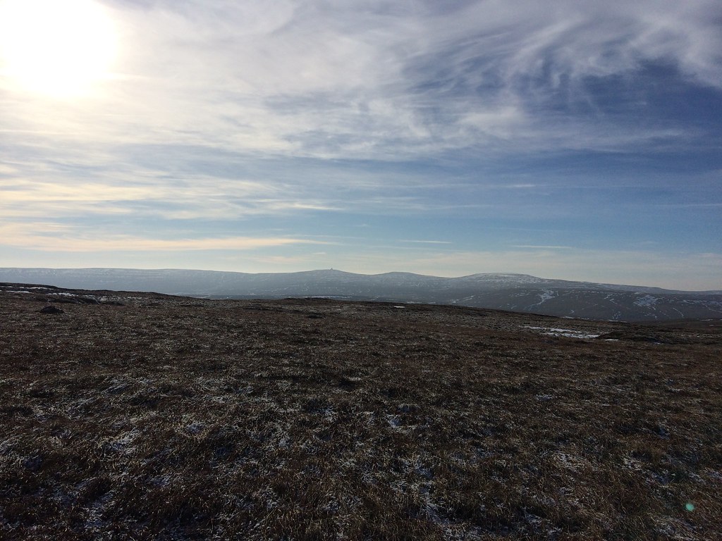
 The western Pennines were featuring more and more in my views now, with the radar station on the summit of Great Dun Fell appearing higher than Cross Fell to the right (even though it is almost 50m lower). There were sketches of path between Dead Stones and Burnhope Seat, with some old pallets dropped in a few places to assist with the bog. This looked fairly horrific, but was easy in today's frozen conditions. And not a day too early either - I could see some knee-deep footprints made by someone who must hade done this a few days earlier when the snow was still soft.
 Cross Fell from Dead Stones
 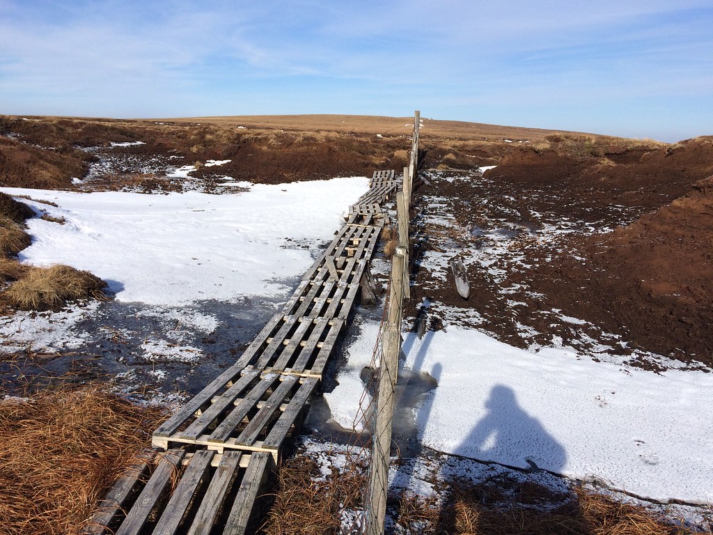 On the traverse to Burnhope Seat. Boards not needed today!
 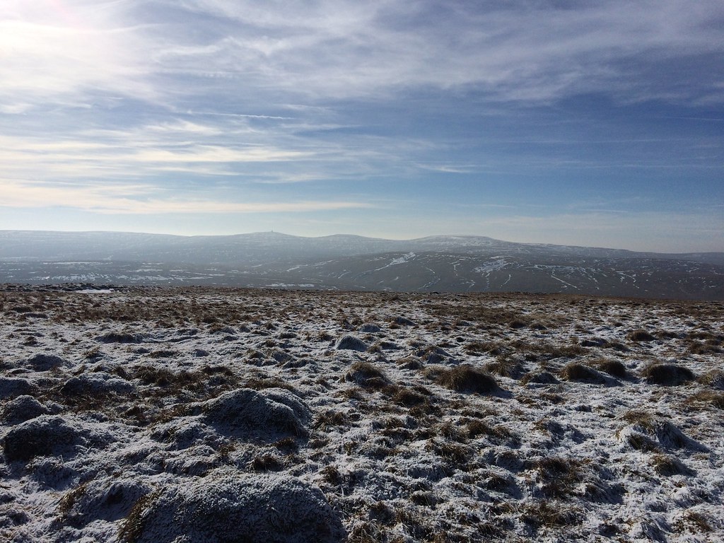 Great Dun Fell and Cross Fell from Burnhope Seat
 I traversed briefly westwards from the trig point on Burnhope Seat, as the ground appeared to be higher over here, and the views of Cross Fell et al were better. A pleasant enough spot in today's conditions, although less cold wind would've been nicer!
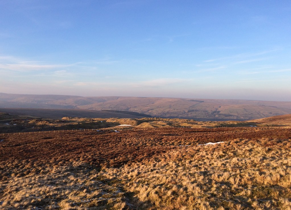
 Weardale and Burnhope Reservoir
 Looking to the route ahead, I could see why many people choose to pick off these summits in small clusters from the nearby roads - this really isn't ridge-walking in any normal sense of the word. ahead lay a good 4 miles of dips, hags and bogs -nicely frozen over, but still not overly compelling. A short drop away from Burnhope Seat, I hid away in one of the hags for some more shelter and a second lunch.
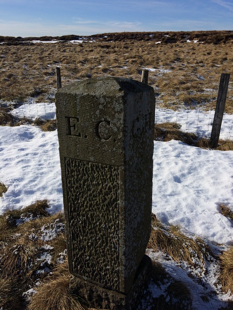 Boundary stone on Scaud Hill
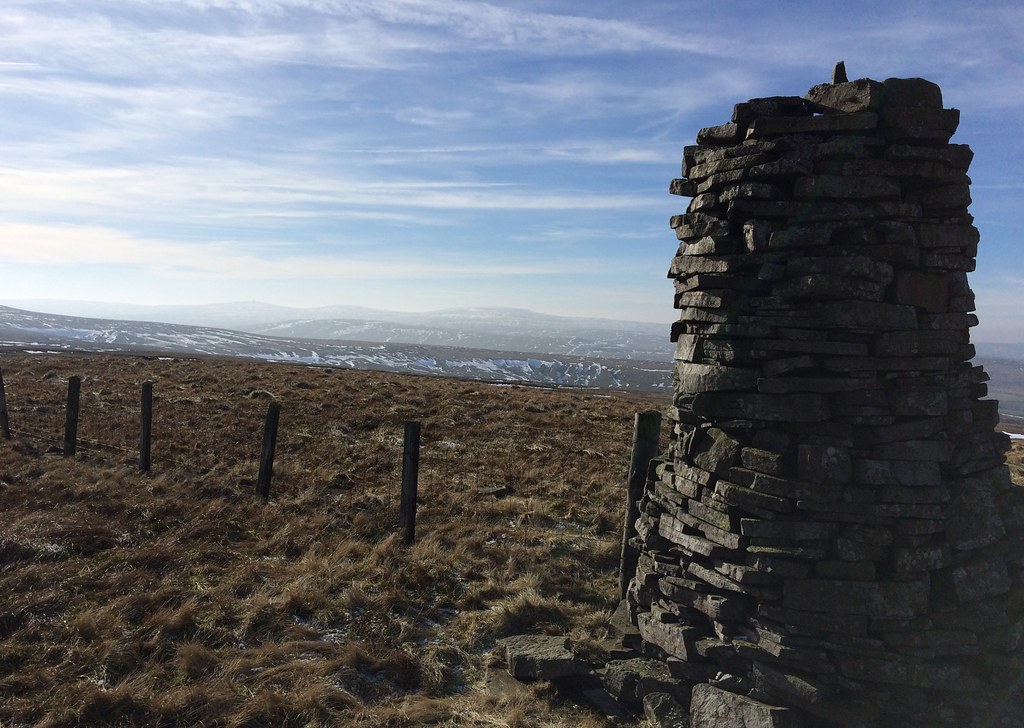
 Ther was some interest along the way - an inscribed boundary post on Scaud Hill, some old lead mines on the flanks of Great Stony Hill, and increasingly attractive views down into Teesdale. Great Stony Hill itself probably had the best defined summit of the day.
 Great Dun Fell and Cross Fell
 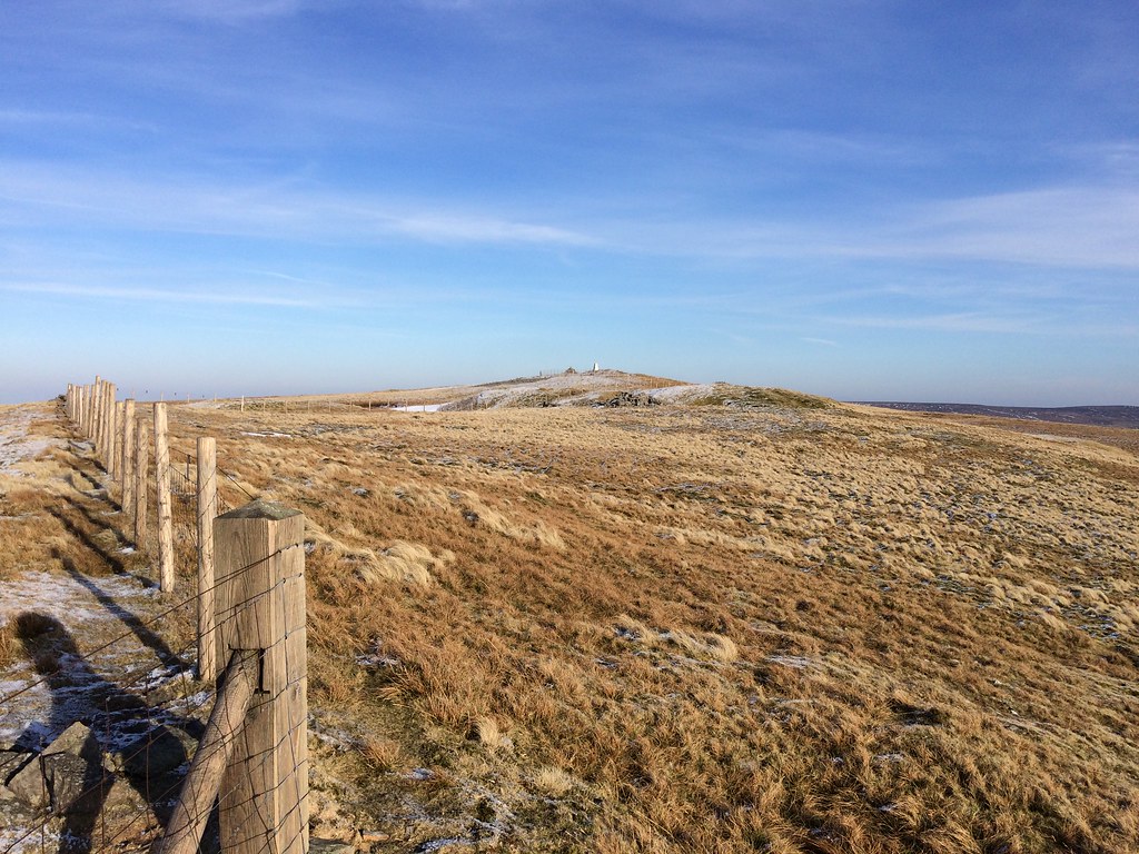 Approaching Great Stony Hill
 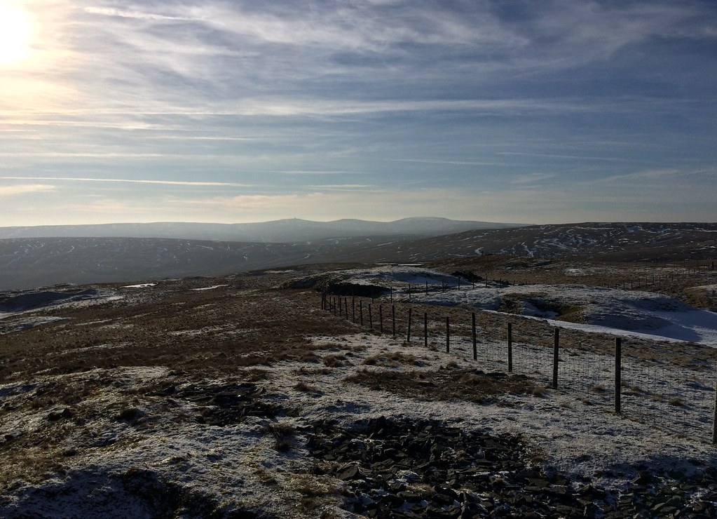 Looking back to Cross Fell etc.
 By contrast, Three Pikes was another hag-fest. There was a fair amount of descent to Langdon Head, and then I contoured the southern slopes of Noon Hill to hit one of the high roads over from Weardale to Teesdale.
 Hags on Three Pikes col
 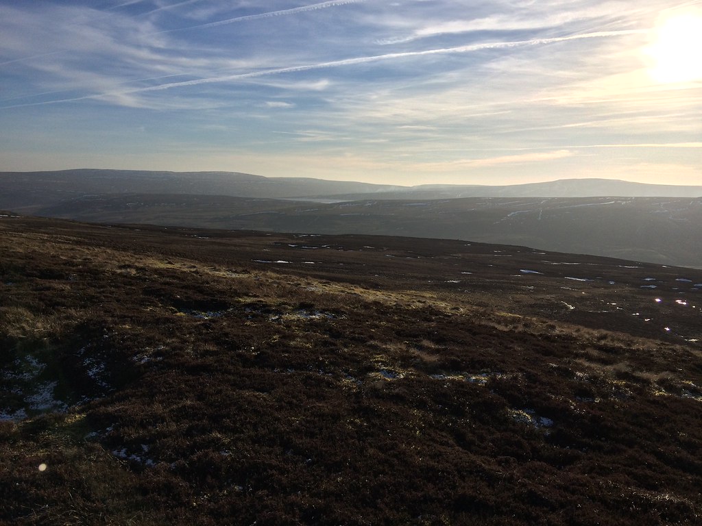 Mickle Fell and a sliver of Cow Green Reservoir
 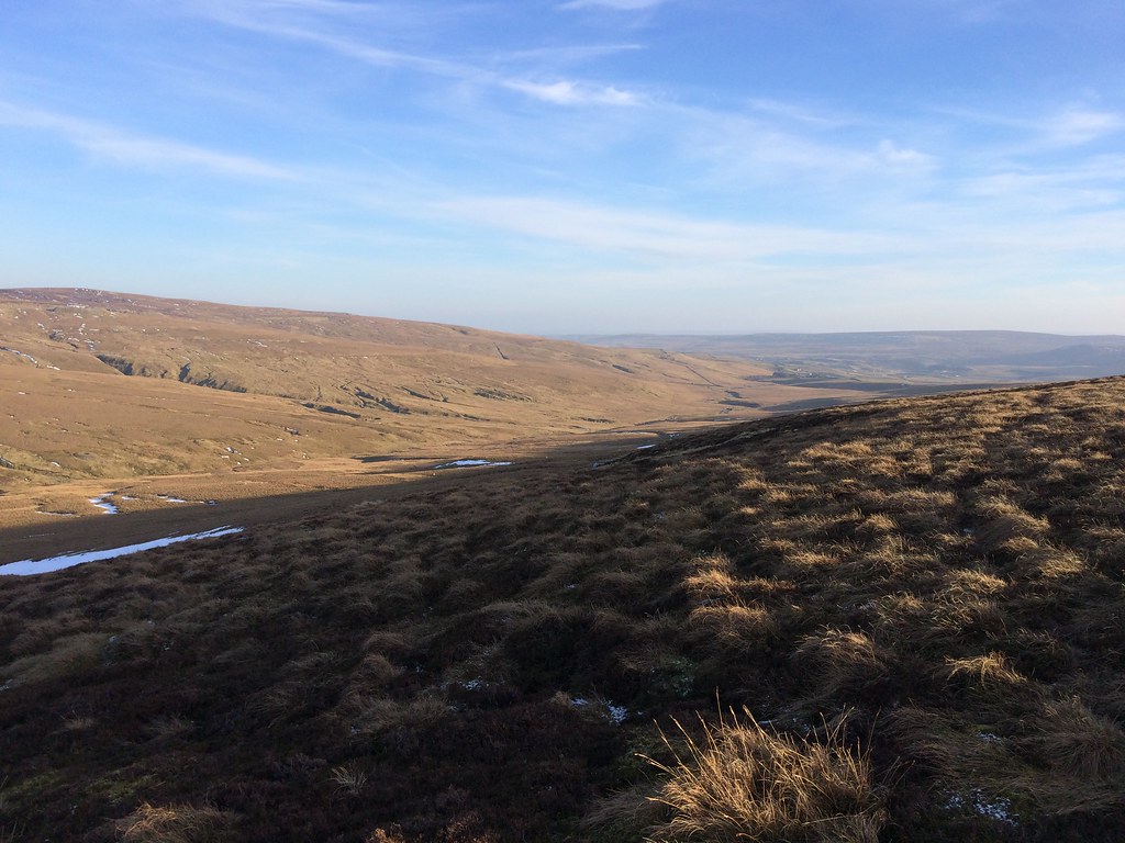 Teesdale
 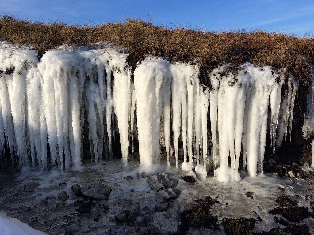 Icicles
 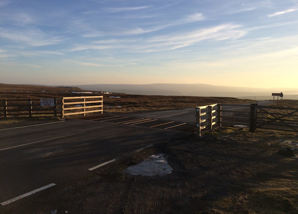 Summit of the Langdon Fell road
 From here, the summit of Chapelfell Top looked to be a prominent grassy rise in amongst the hags, but when I got up there, there turned out to be more hags behind! As summits go, probably the most rubbish one of the day

.
 Weardale from Chapelfell Top
 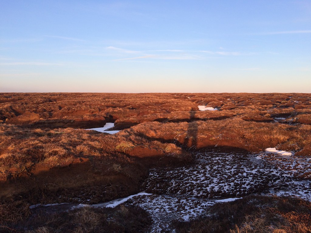 Oh goody, another crap summit - Chapelfell Top
 Fortunately, things were better on the descent -mostly easy going mini-tussocks. The sun was setting and upper Weardale looked attractive and peaceful in the last light. I eventually picked up a good track which dropped me thoughtfully right next to the Golden Lion Inn in St. John's Chapel. I had over an hour to spare before my bus, and found a nice cozy spot next to the fire to enjoy dinner and a couple of pints

.
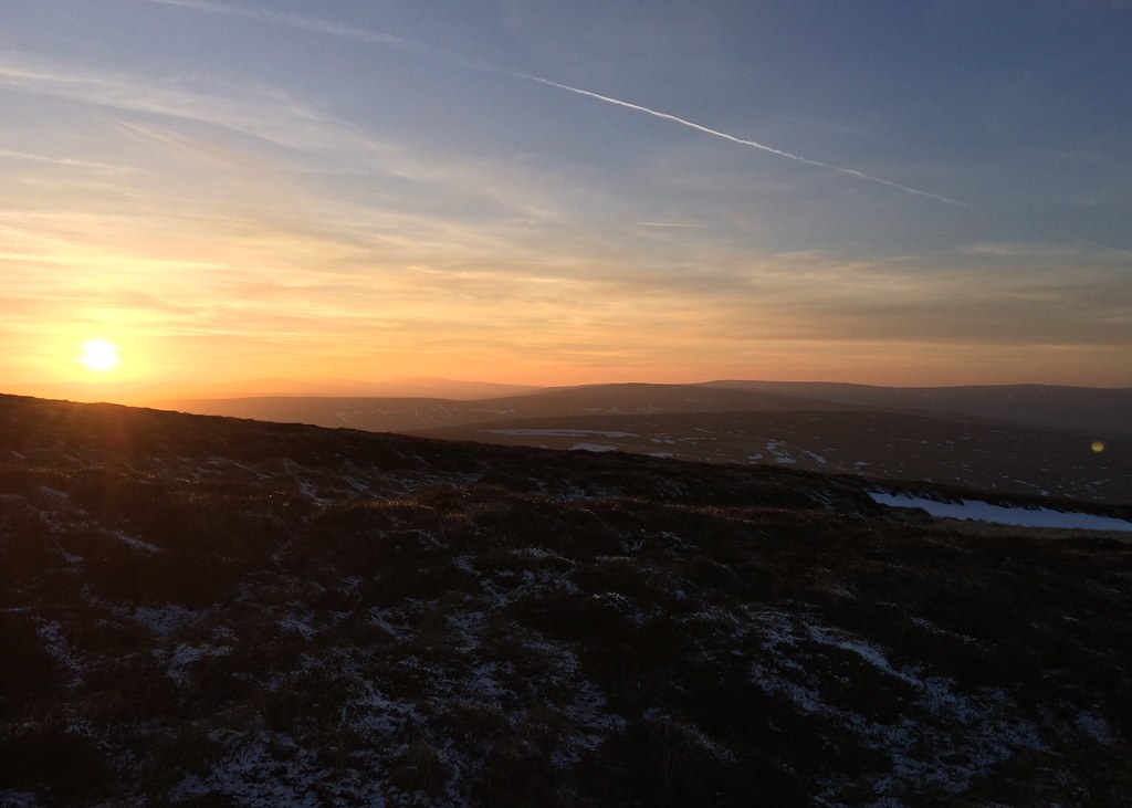 Sunset over Burnhope Seat
 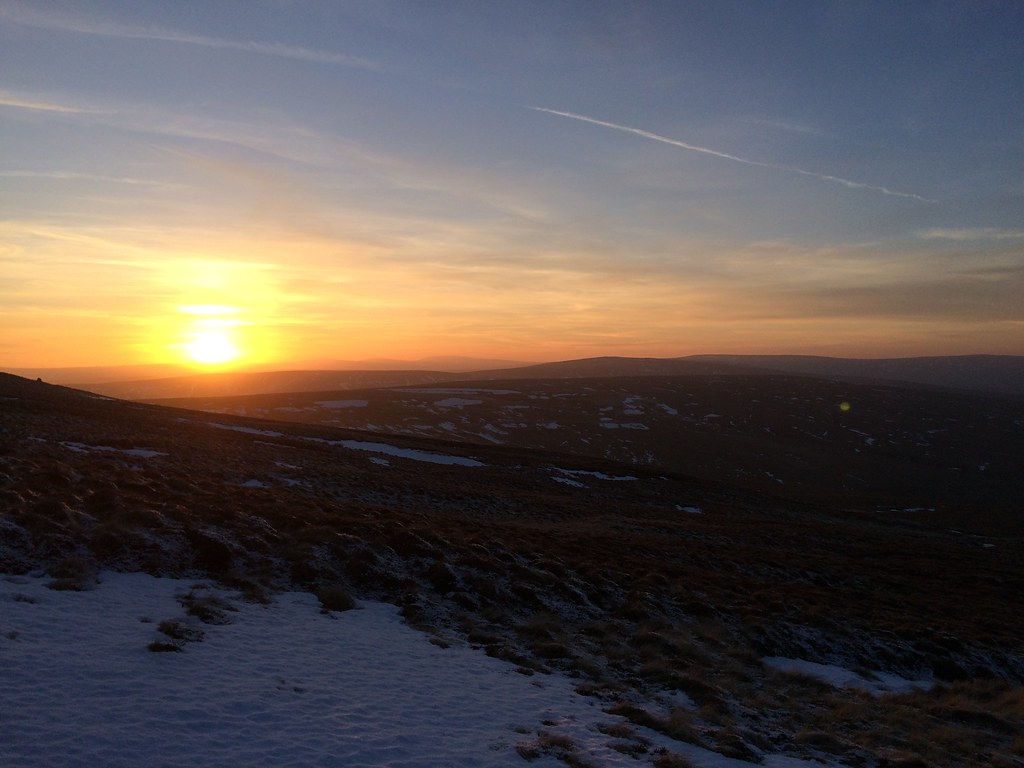 Sun almost gone
 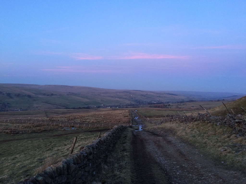 East down Weardale from Thatch Mires
  Last light over head of Weardale
 However, the rest of the journey highlighted why I really need to start going away for the full weekend, rather than trying to get back to Sunderland on a Saturday night. Although Sunderland was less than 40 miles away as the crow flies, it took me 3 hours to get back there. I had 45 minutes to kill in the freezing cold in Crook (jam-packed Wetherspoons won out over sitting in the bus stop with loads of drunk teenagers), and there was a good old Saturday night fight in the bus station in Durham, before someone puked everywhere on the last leg home. Yuck!
Still, a probably never-to-be-repeated opportunity to see the hills around Weardale at their best can't be sniffed at

.
