free to be able to rate and comment on reports (as well as access 1:25000 mapping).
The Mettelhorn (3406 m) and the Platthorn (3345 m) are two of the highest 'hiking peaks' in Europe, both relatively straightforward, non-technical climbs, manageable in a single day from Zermatt. They're great mountains both in their own right and as acclimatization before tackling some of the 4000 m peaks in the area. The Oberrothorn on the other side of the valley is a little higher but much more popular due to the cable car up to the Unterrothorn. There are no shortcuts to the top of these two. You need to climb the whole thing.
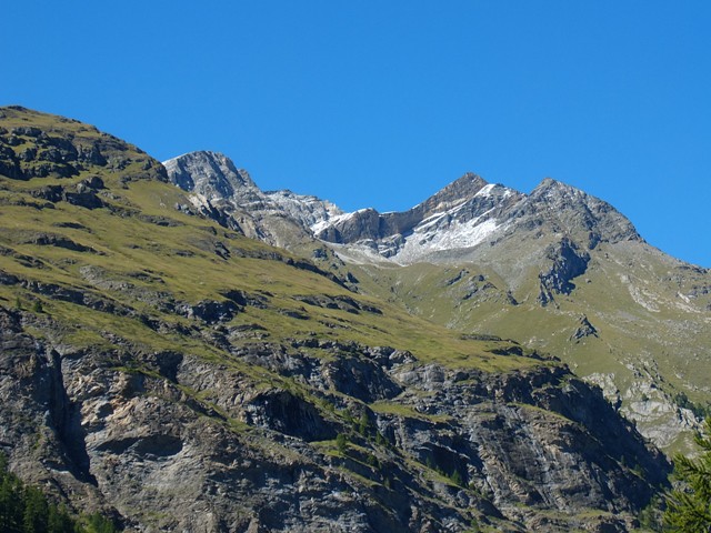 Mettelhorn from Zermatt
 by
the pointless parasite, on Flickr
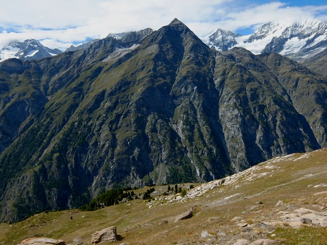
 Mettelhorn from South
 by
the pointless parasite, on Flickr
 Mettelhorn from East
 by
the pointless parasite, on Flickr
I have attempted to climb these mountains on three occasions, as described below
Attempt 1: novice mistakes The first time I attempted the Mettellhorn was in 2014. This was my second trip to the Alps. Previously I'd climbed over 2500 m in the Grindlewald area in workman's boots with steel toecaps

This time, I'd got some 'proper' boots - a pair of floppy thirty quid Karrimors. Basically little more than trainers with high ankles. Completely useless, but I didn't know any better.
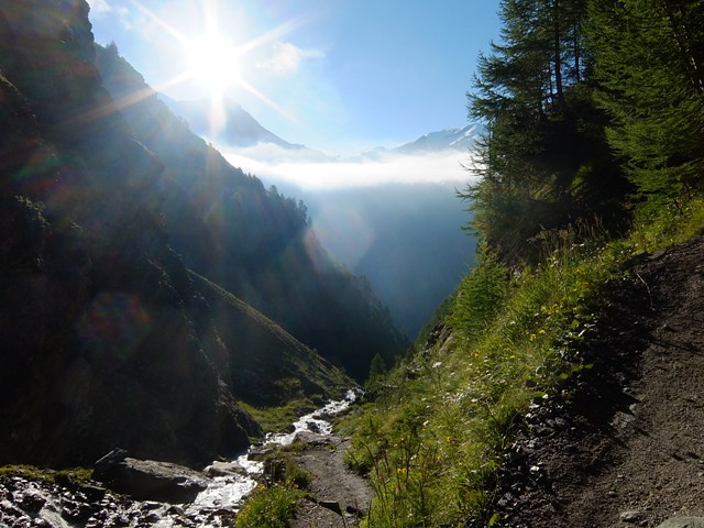
The route leads up a valley from Zermatt to Trift. It's not immediately obvious where the route goes when looking from down below, but the path is actually very easy, leading up to the Edelweiss restaurant. After that, a short walk through the rest of the forest leads up to Trift.
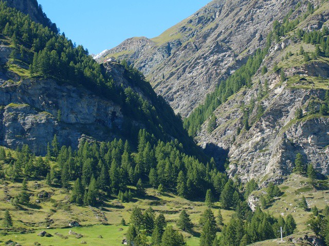 Triftbach valley
 by
the pointless parasite, on Flickr
 Alterhaupt
 by
the pointless parasite, on Flickr
 Triftbach valley upper
 by
the pointless parasite, on Flickr
After the small hotel at Trift, the route turns to the North. There are metal route signs everywhere in the Swiss Alps. The trick is to actually read them. For some inexplicable reason I took no notice of the sign pointing the way to the Mettelhorn/Platthorn and marched off up the valley, in the wrong direction.
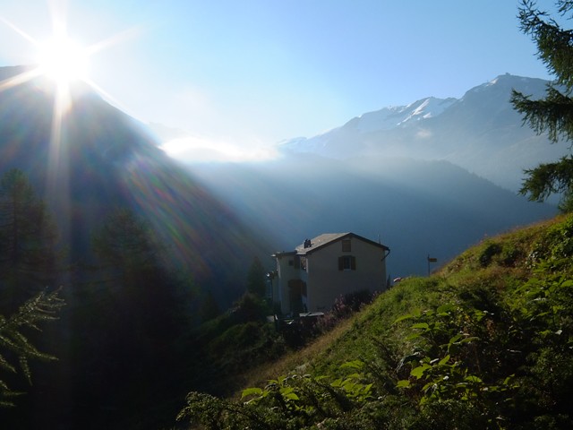
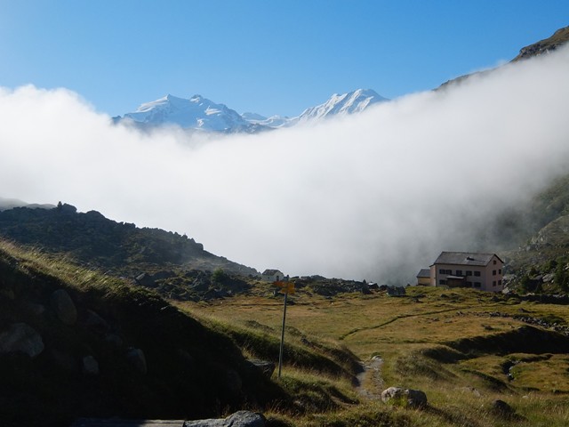 Trift
Trift by
the pointless parasite, on Flickr
 Rothornhutte approach
 by
the pointless parasite, on Flickr
I was aware I was going off to the West a fair bit, but assumed the path would lead back round. It wasn't until I saw the hut for the Zinalrotthorn up ahead that the penny dropped. I was way off course.
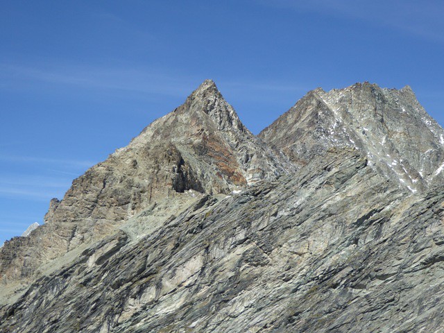
I then tried to make amends by leaving the path and heading directly in the direction of the Mettelhorn, under two rocky summits, namely the Unter Aschhorn (3618 m) and the Furgghorn (there is another Furgghorn near the Matterhorn).
 Rothornhutte
 by
the pointless parasite, on Flickr
The traverse started off rocky, then bouldery, then bands of solid rock. Every so often, I crossed a channel of snow, kicking steps with my floppy boots. Where on Earth was I going? The Mettelhorn was a lost cause but I could still potentially climb one of the other two peaks, so I pressed on.
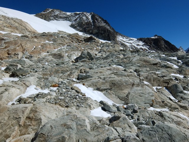 Aschorn traverse 3
 by
the pointless parasite, on Flickr
 Aschorn traverse 2
 by
the pointless parasite, on Flickr
 Aschorn traverse 4
 by
the pointless parasite, on Flickr
 Aschhorn traverse 5
 by
the pointless parasite, on Flickr
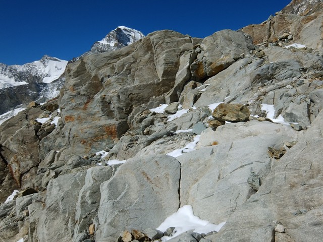
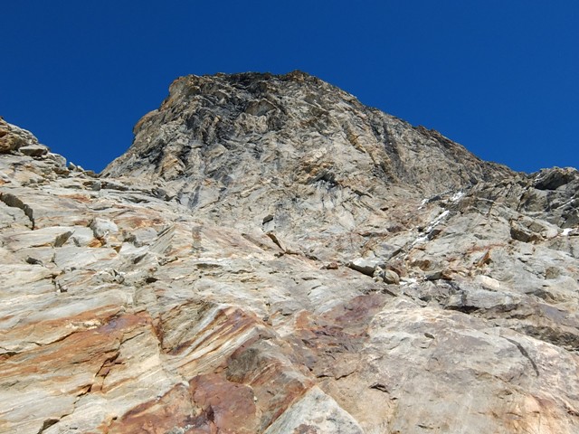
After a while, the going went from scrambling to virtually rock climbing and way above my comfort level. Eventually, I overcame the major rock band and started on an otherwise easy, but exhausting final climb up to the col between the Aschhorn and the Furgghorn. To my dismay, there was nowhere else to go. The North side of the col was a steep, loose wall leading down to the glacier a few hundred metres below

No thanks. I could see the Mettelhorn and Platthorn over to the East, completely out of reach.
 Mettelhorn from Furgghorn
 by
the pointless parasite, on Flickr
The Unter Aschhorn to the West was a horrendous wall of steep crumbly rock - Trust me, it's much worse than it looks in this photo, although it is regarded as a legitimate route of ascent.
 Unter aschorn
 by
the pointless parasite, on Flickr
I climbed to within a couple of metres of the summit of the Furgghorn, looking for a possible traverse, but it looked impassable. So my only option was to descend. Rather than retrace my traverse, I pretty much headed straight down over steep, loose, rocky ground, seemingly for hours, before eventually regaining the path I had mistakenly taken earlier in the day.
 Aschorn descent
 by
the pointless parasite, on Flickr
At the time, I found this a tremendously frustrating and unfulfilling day. On reflection however, it was a great learning experience. Throughout subsequent walks in the area I have gazed in wonder at the rocky traverse under the Unter Aschhorn, unable to work out how on Earth I managed to get across it.
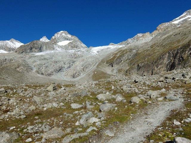
Attempt 2: a hollow victoryNine months later, I was back in Zermatt, determined to make amends. This time I was better prepared. I had an ice axe and some microspikes, but still the same floppy Karrimor boots.
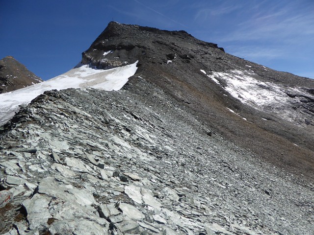
I made sure to take notice of the signs and took the correct path at Trift, which leads steeply uphill before entering a long valley. The head of the valley leads up to a col between the Furgghorn and the Platthorn. On the other side of the col is the glacier leading to the Mettelhorn.
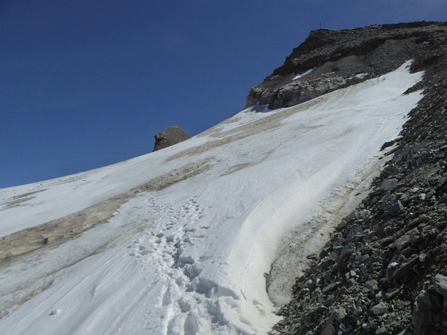
This year, route finding was not the problem. The problem was the snow. It was simply too early in the season and the valley leading up to the Platthorn was under deep snow, getting deeper and deeper as altitude was gained, eventually becoming knee deep or even worse. Clearly, nobody else had been up here since the last snowfall, so I was breaking trail the whole way up. Just before the col, I fell in up to my chest and it took considerably effort to haul myself out.
After reaching the col, I was greeted with a howling wind. I got my first sight of the glacier leading up to the Mettelhorn and it looked... evil. It was covered in deep snow, which meant crevasses would be invisible. Over to the left, a huge, ominous depression was filled with perfect clear blue water. So the Mettelhorn was definitely off the cards. The Platthorn didn't look much better either with the wind whipping up clouds of swirling sprindrift. Still, I'd come this far and was still OK for time, so decided to fight on and attempt the Platthorn.
Despite the floppy boots, I made good progress up the snow slope. I thought the summit of the Platthorn was marked by a cross (many Alpine summits are). So when I saw a weather station up ahead, I assumed it was below the summit itself. However, on reaching the weather station, I suddenly found myself staring into an abyss. A mile below, I could see the village of Zermatt. Made it at last!
You may be wondering where the photos of this day are, but that was the problem. I had been taking photos throughout the day, but after reaching the Platthorn summit I couldn't find my camera in my pockets or bag. I had a quick look around on the summit but found nothing. I descended, very carefully looking in each footprint in the snow, but still no camera. I even had a good look in the hole I fell into just below the col, but still nothing.
So I'd finally climbed one of these two peaks but the day was marred by the loss of the camera

Ever since then, I've always worn my camera on a shoulder strap.
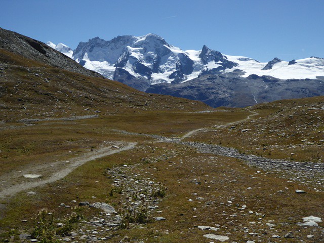
Attempt 3: perfectionThe third time I attempted to climb the Mettelhorn was in early September 2017. This time I had proper mountaineering boots and crampons. The weather was perfect and the snow had melted. There was nothing to stop me from reaching the summit

 Platthorn approach
 by
the pointless parasite, on Flickr
 Breithorn
 by
the pointless parasite, on Flickr
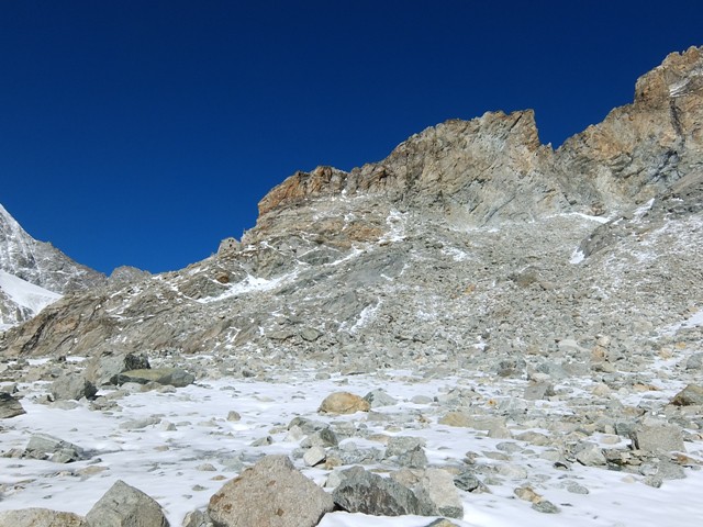
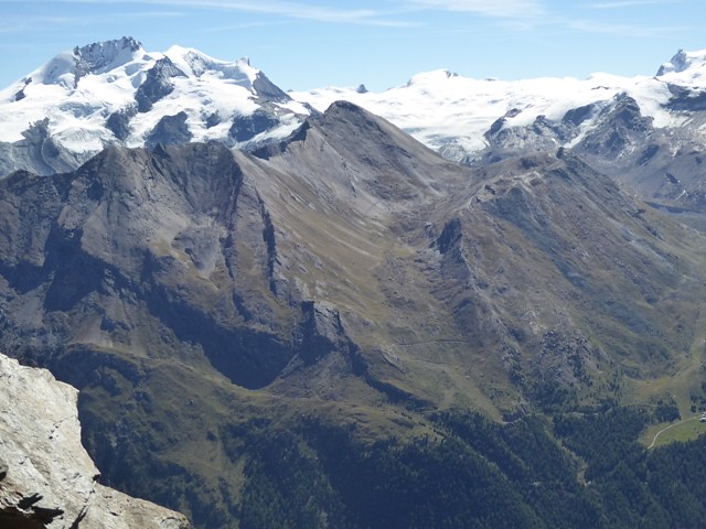
The Furgghorn from the East:
 Furgghorn and Unter Aschorn
 by
the pointless parasite, on Flickr
I'm relieved I didn't try to traverse the Furgghorn back in 2014. If I did, there's a chance I would have found myself in a trap, unable to climb up or down.
 Platthorn from col
 by
the pointless parasite, on Flickr
 Furgghorn and Unter Aschorn 2
 by
the pointless parasite, on Flickr
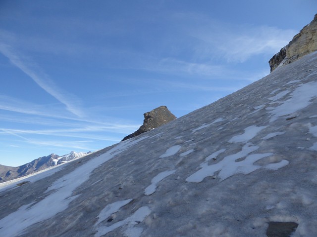
The glacier starts off quite steeply angled. Initially it's covered in snow, but quickly becomes ice. There are many footsteps in the snow for the first few metres, then virtually nothing. Evidently, a lot of people start off walking across the glacier then turn back after realising how icy it gets (a German couple had abandoned their attempt just as I started out). Up until now I was resenting the extra weight of crampons and ice axe, but now appreciated them.
 Mettelhorn glacier walk 1
 by
the pointless parasite, on Flickr
 Glacier icey section
 by
the pointless parasite, on Flickr
 Mettelhorn glacier walk 2
 by
the pointless parasite, on Flickr
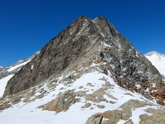
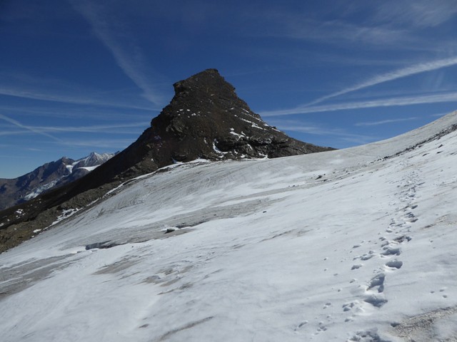
The unexpectedly ominous North side of the Platthorn:
 Platthorn from glacier
 by
the pointless parasite, on Flickr
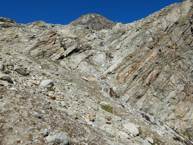
Once over the glacier, there's a final steep climb up to the Mettelhorn summit via a zigzag path.
 Mettelhorn upper slopes
 by
the pointless parasite, on Flickr

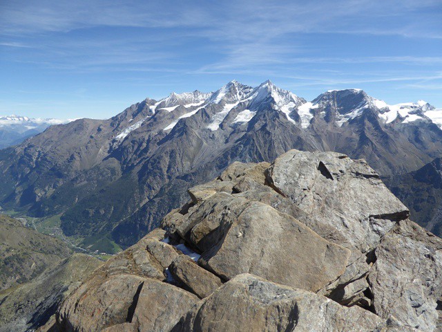
 Mettelhorn summit 2
 by
the pointless parasite, on Flickr
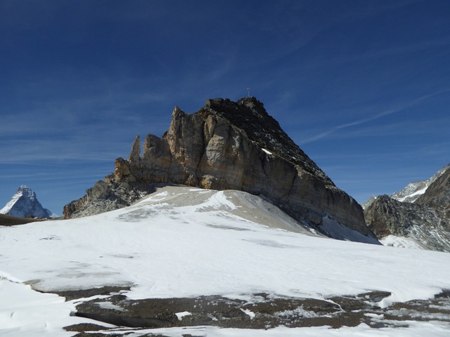
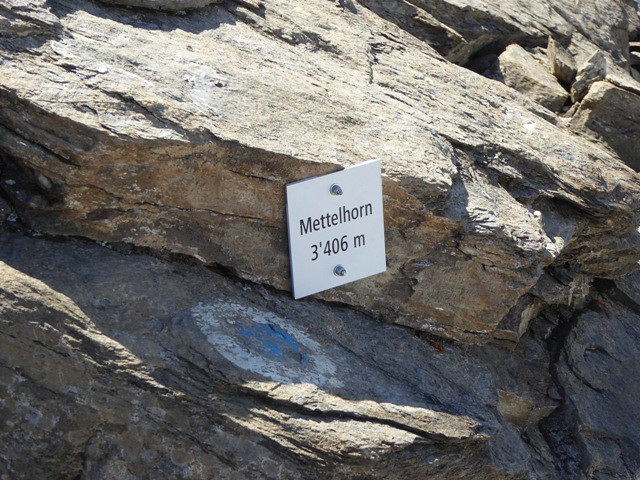
The summit is small and rocky:
 Mettelhorn summit 1
 by
the pointless parasite, on Flickr
Severely hypoxic?
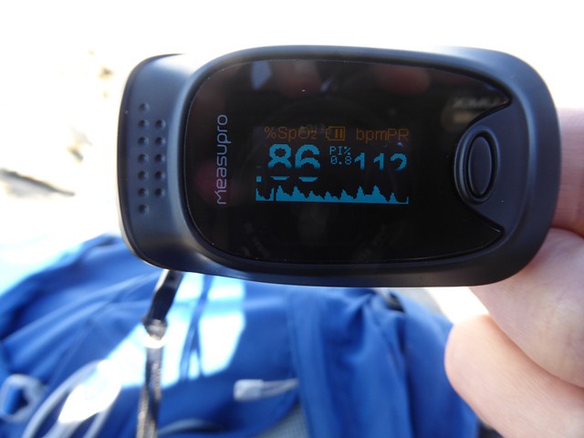 Pulse ox
 by
the pointless parasite, on Flickr
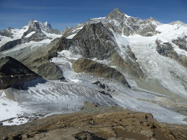
Crevasses on the glacier below. This is why it needs to be snow free to cross it unroped.
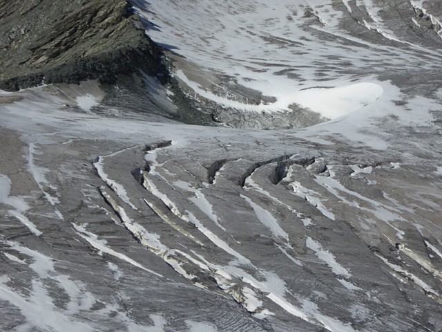 Crevasses
 by
the pointless parasite, on Flickr
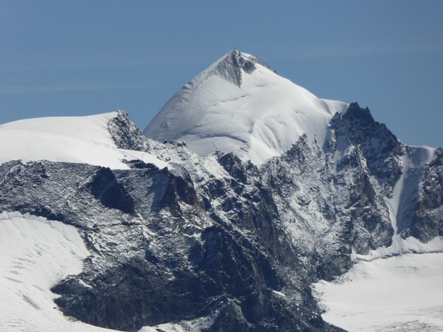
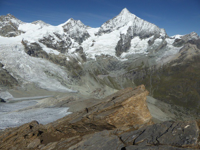 Weisshorn
 by
the pointless parasite, on Flickr
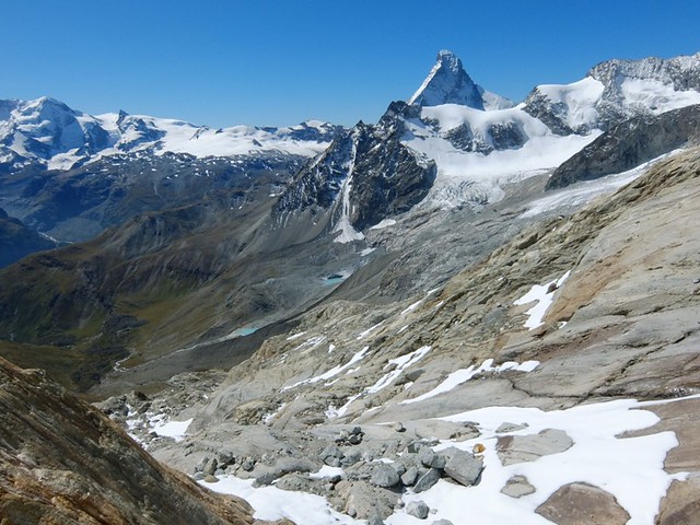
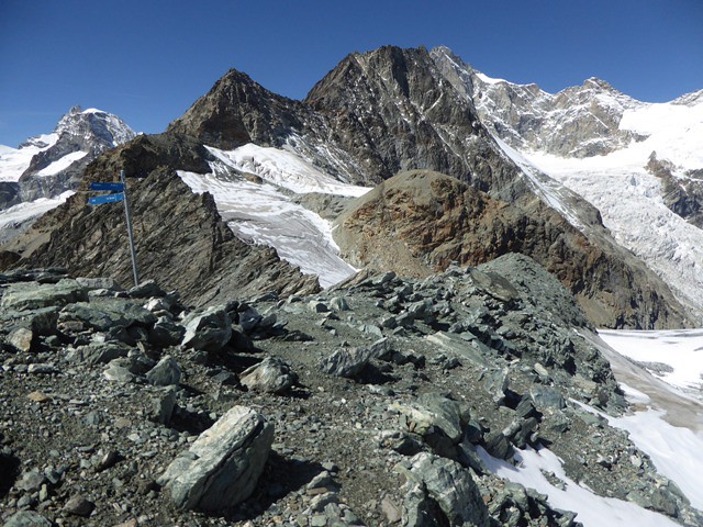
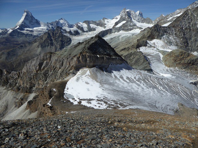
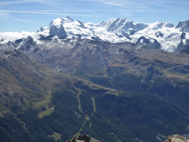
There are incredible views of all of the big 4000 m peaks from the summit. The Allalinhorn is one of the 'easy' 4000ers, (climbed from Saas Fe) although the clearly visible giant crevasse doesn't look too encouraging:
 Allalinhorn
 by
the pointless parasite, on Flickr
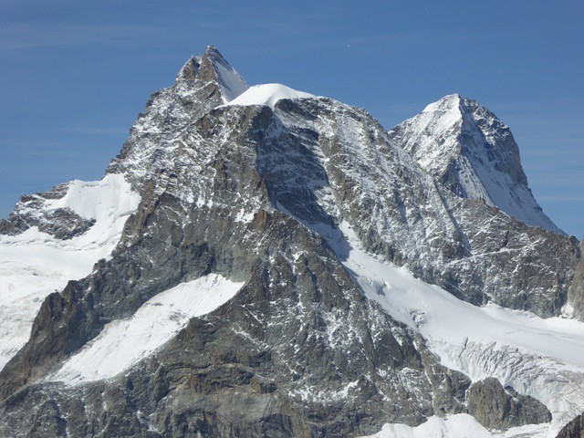 Obergabelhorn
 by
the pointless parasite, on Flickr
 Tashhorn
 by
the pointless parasite, on Flickr
Zinalrothorn in the distance:
 Zinalrothorn
 by
the pointless parasite, on Flickr
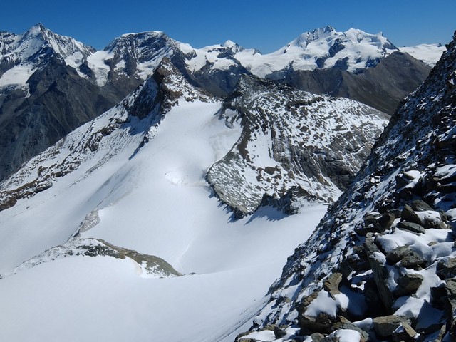
The second highest mountain in the Alps (or third if you count Mont Blanc de Courmayeur), Dufourspitze, on the left:
 Monte Rosa and Liskamm
 by
the pointless parasite, on Flickr
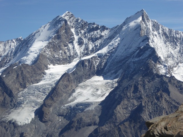
Rimpfischhorn, Strahlhorn and Adlerhorn:
 Rimpfischhorn
 by
the pointless parasite, on Flickr
Third time lucky
The next day, suitably acclimatized, I climbed the Breithorn (4163 m)
