free to be able to rate and comment on reports (as well as access 1:25000 mapping).
After her terrifying descent down the east ridge of Causey Pike a few years ago, a descent made all the more scary for her as the summit was clag bound and all she could see was the start of the steep and rough drop off with a few spurs of rock poking eerily through the fog, it was a fell that she had steadfastly refused to set a foot on again, until now. I couldn't blame her really as she must have felt as though she was going to drop off the end of the world, and not being able to see more than a couple of metres with seemingly nothing but fresh air for the next step took all my skills of persuasion and patience in leading her down to Sleet Hause where the visibility was much clearer. Walking along this veritable stretch of easy ground gave her much needed confidence, that is, until we arrived at the next stage of the descent, Rowling End. My goose was now well and truly cooked and I barely survived the verbal battering that I had to endure for quite some time afterwards. Such is life on the fells.
Today, Wednesday, barely a week after we had ventured onto Place Fell on a beautiful sunny and snow laden fells day we were back to once more climb the fell but this time by the more sedate route alongside Stonycroft Gill using the old mine road for an easy ascent up to High Moss from where we would then find our way via the unmarked path to the summit.
In contrast to last week's walk in sunshine today was grey and cloudy, not particularly cold but with the mountain tops covered in low cloud that was due to stick around for quite some time today. We arrived at the roadside parking area that is just south of Uzzicar - NY232217 - and where the old mine road starts its journey south before swinging around to the west as it follows the course of Stonycroft Gill up to and beyond its source at High Moss and under the south face of Outerside.
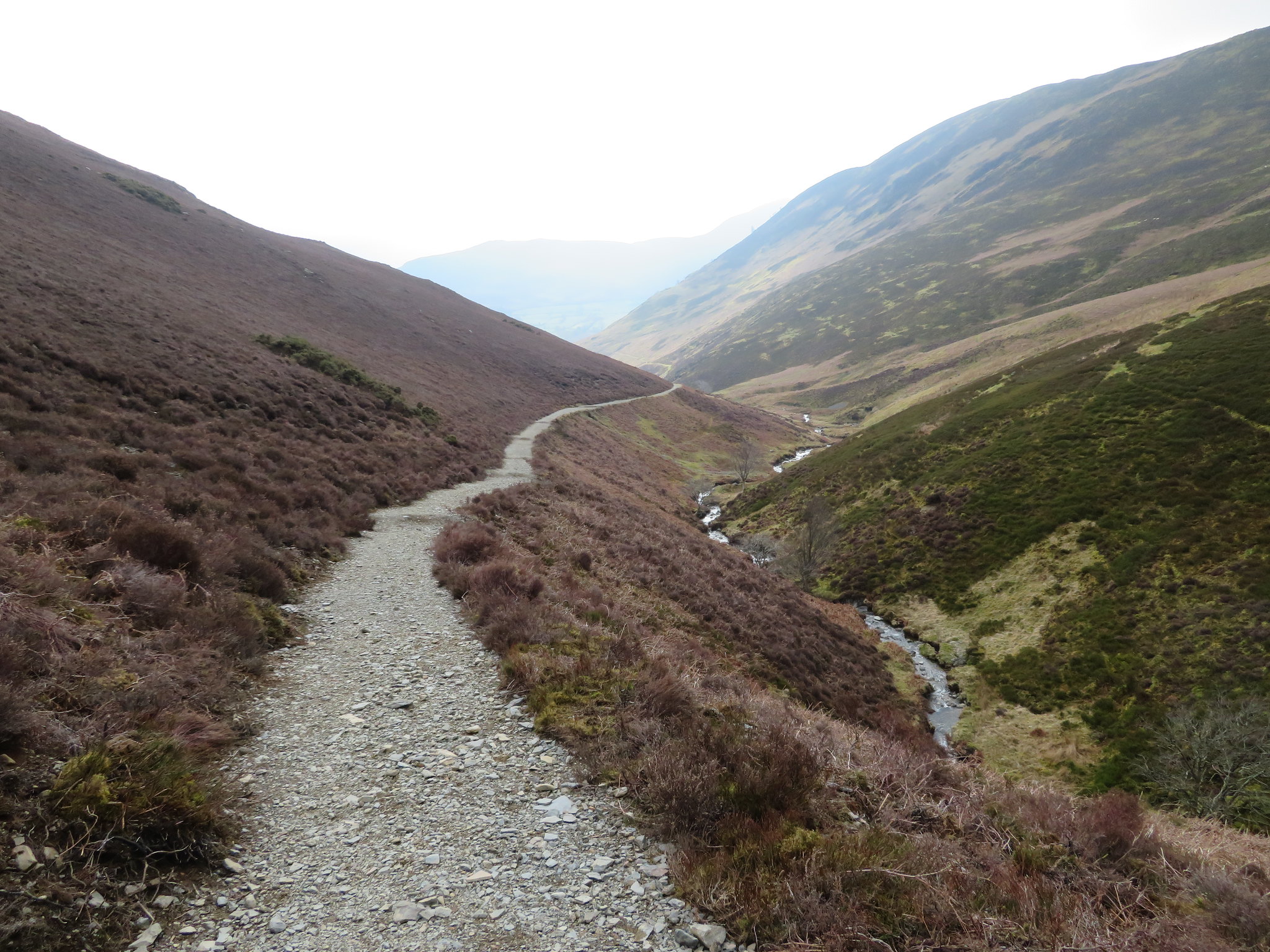
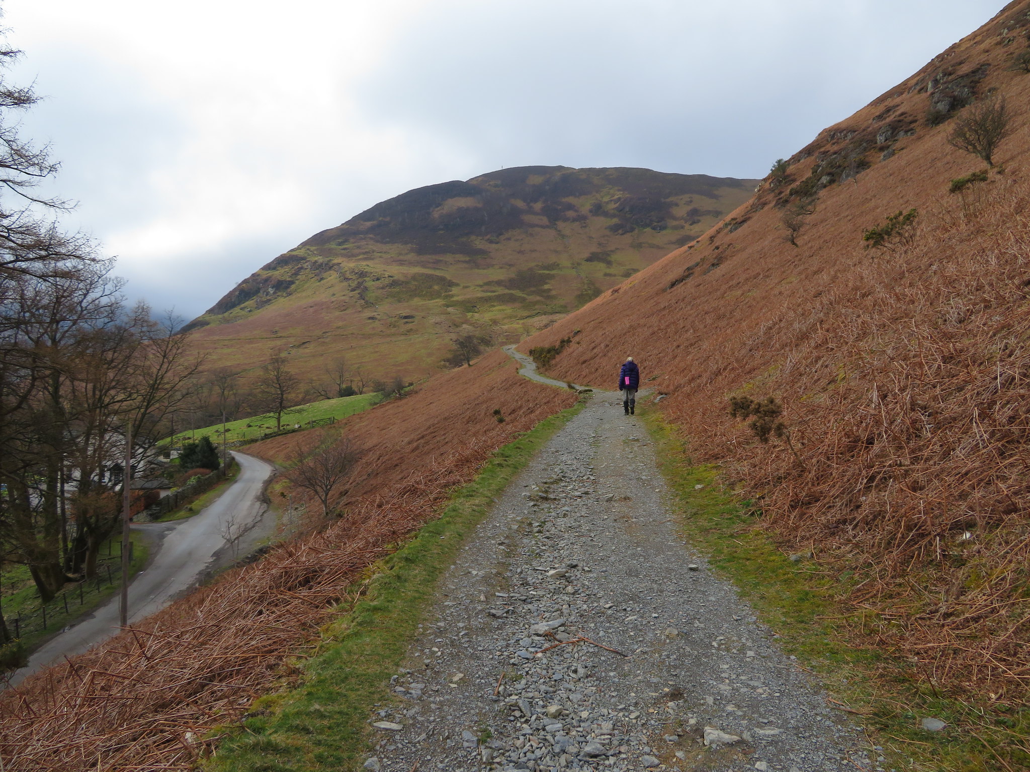 Start of the old mine road below Barrow
 The track is well made up and runs at an easy gradient all the way up the narrow valley that lies between Barrow, Stile End, and Outerside to the north and the bulk of Causey Pike and Scar Crags to its southern side. The track initially traces the line of the metalled road that leads to Buttermere and after having walked a good few metres took a look back where we could see a blue patch of sky and a great blanket of cloud lying over the summit of Skiddaw and Longside Edge.
 Looking back to a cloud covered Skiddaw
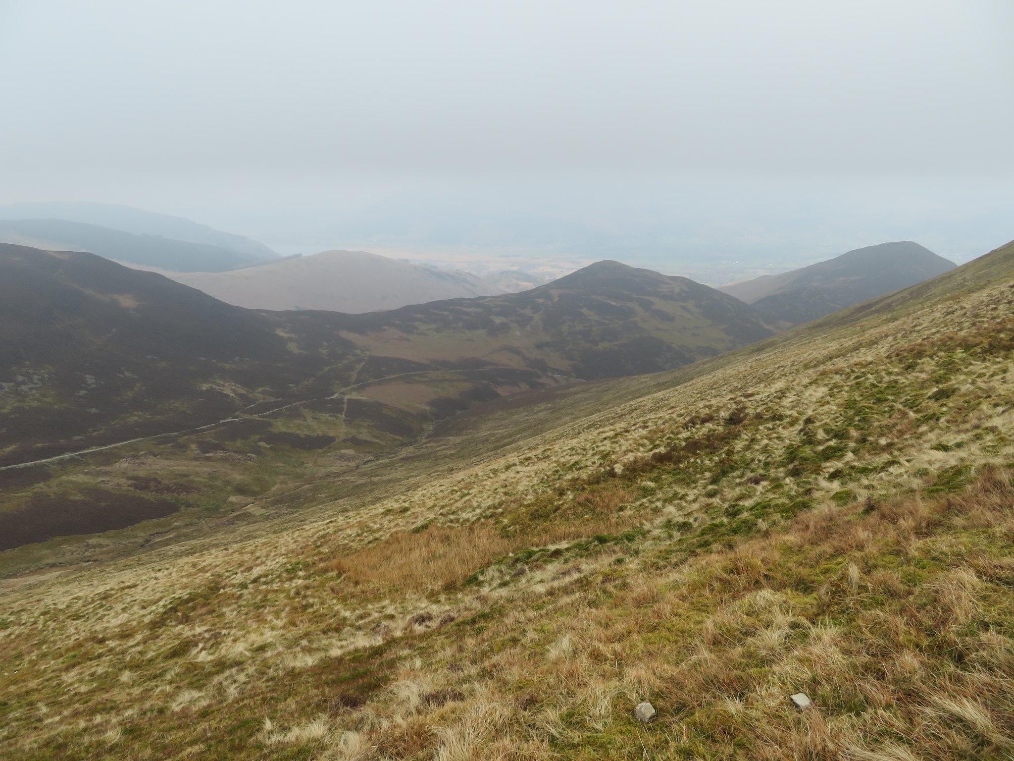
As we approached the point where the track swings around to the west we had a good view of two groups of walkers struggling up the steep slopes of the path running across the north faces of Rowling End and the higher up slopes of Sleet Hause.
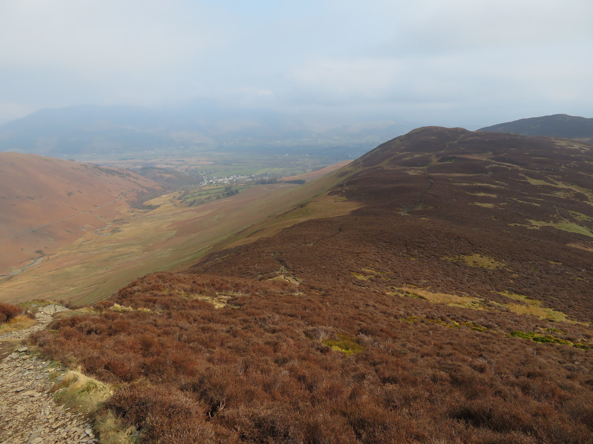
 Rowling End and Sleet Hause from the old mine road
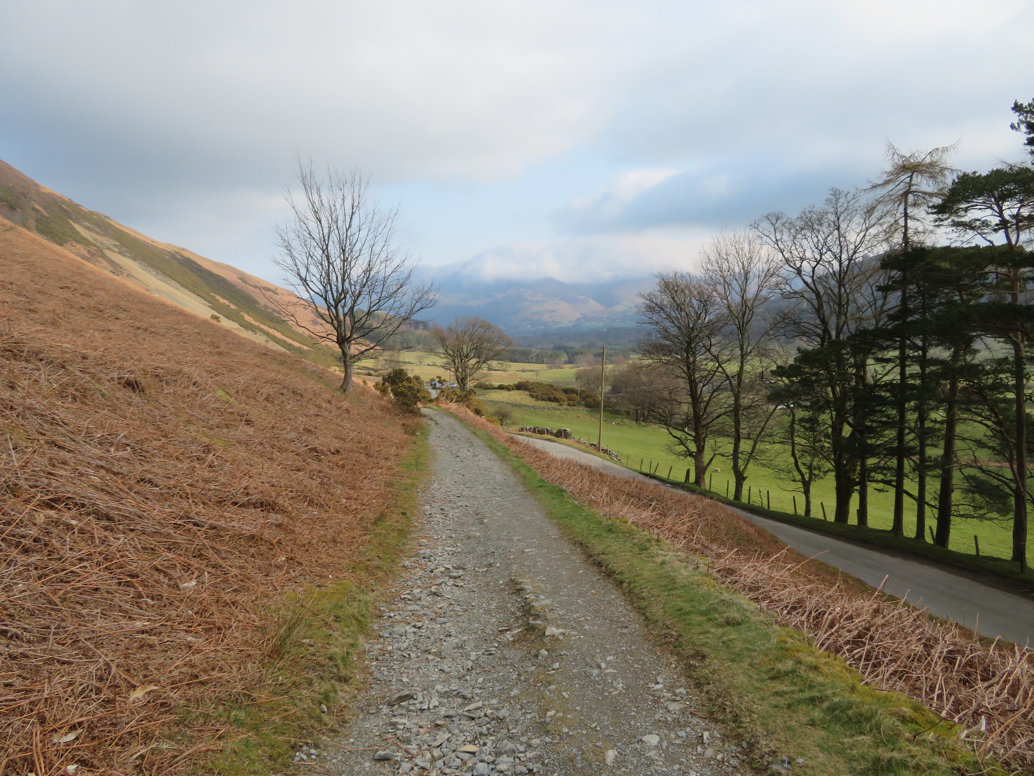
 We crossed over a section of bare rock before once again finding the good and well compacted small grey stones beneath our feet with Stonycroft Gill with its small waterfalls tumbling over the rocks to our left. This gill is a favourite for the gill scrambling activities of groups of children taken there by the various Outward Bound Centres that are scattered around the district. Looking forward and upwards we could see that all the tops were under cloud.
 The road follows the course of Stonycroft Gill
 The higher that we climbed along this easy rising track the more prevalent the heather becomes and when caught in flower during the summer months is a beautiful sight with what must be millions of small flowers giving off the most wonderful smell. A glance back gave us a hazy view towards part of the Cat Bells ridge sitting just behind Rowling End.
 A view back down Stonycroft Gill
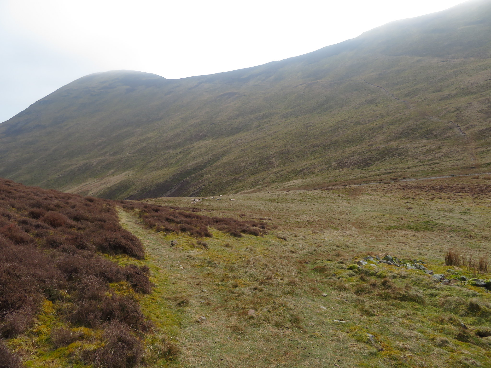
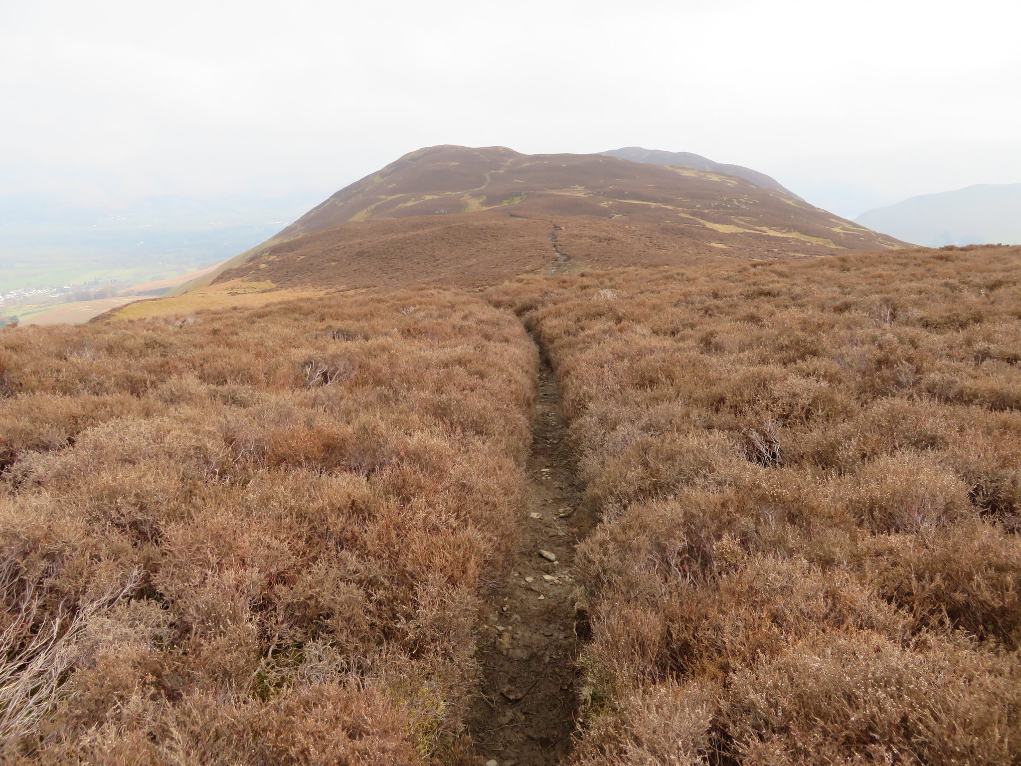
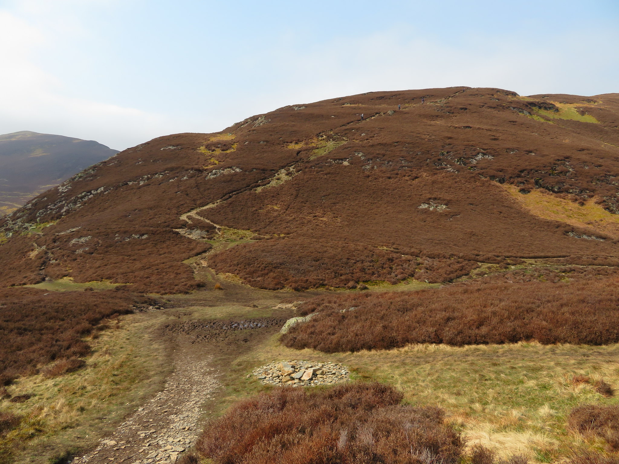
 After a good bit of steady walking we arrived below Stile End and Low Moss from where we got our first good look at the rough and rugged north face of Causey Pike
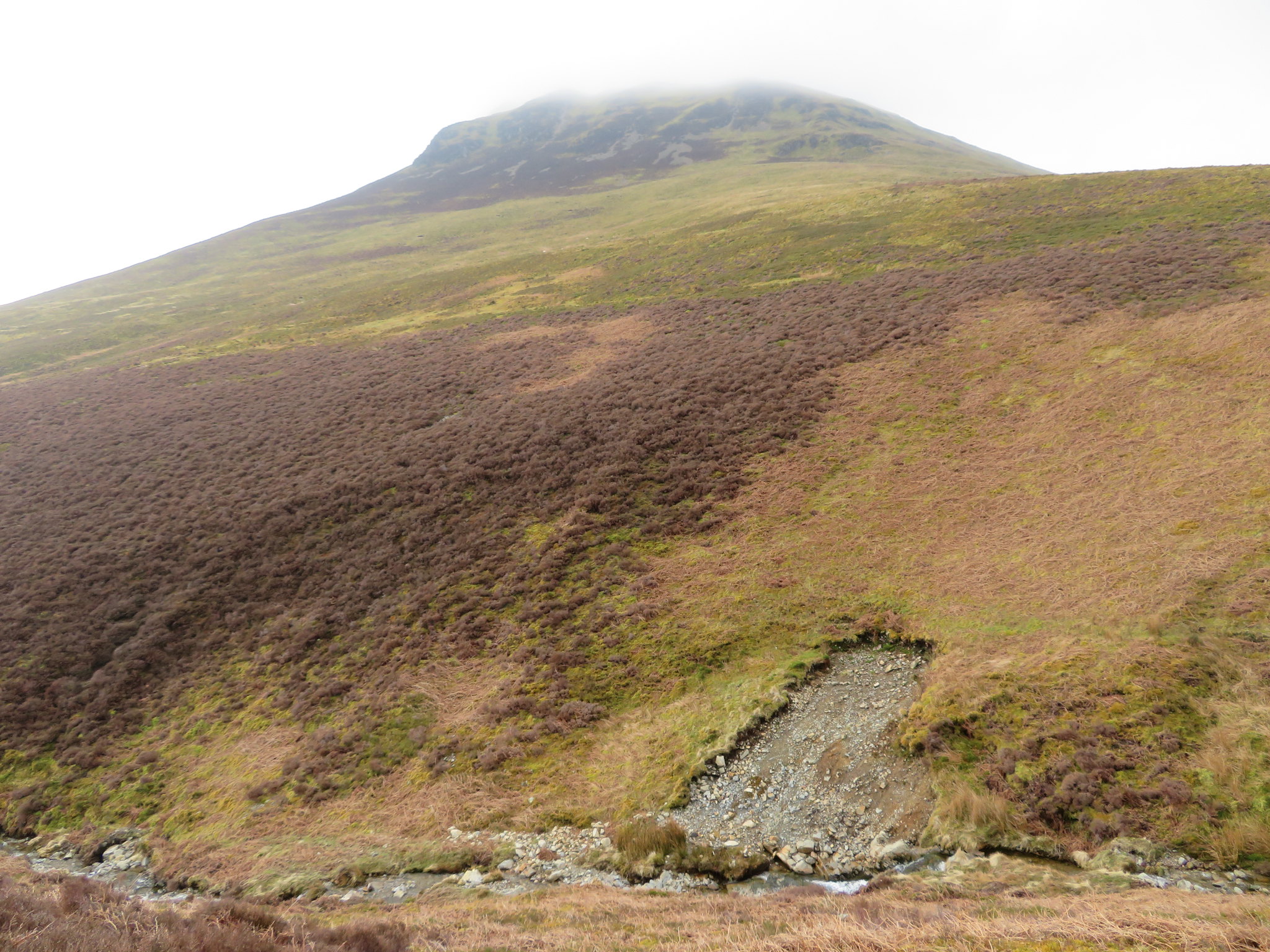 North face of Causey Pike
 At about this point along the track the stoned surface morphed into a thinly grassed one that made a welcome change from the crunching of stones beneath the boots. This is also where we took another look along Stonycroft Gill from where the higher altitude gave us a different perspective along the valley.
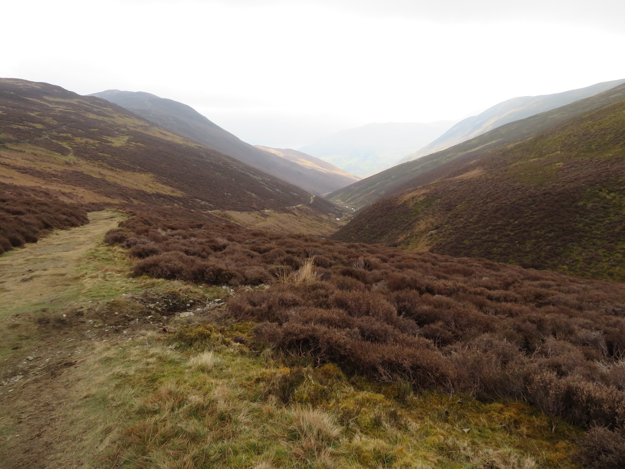 Another view back along Stonycroft Gill
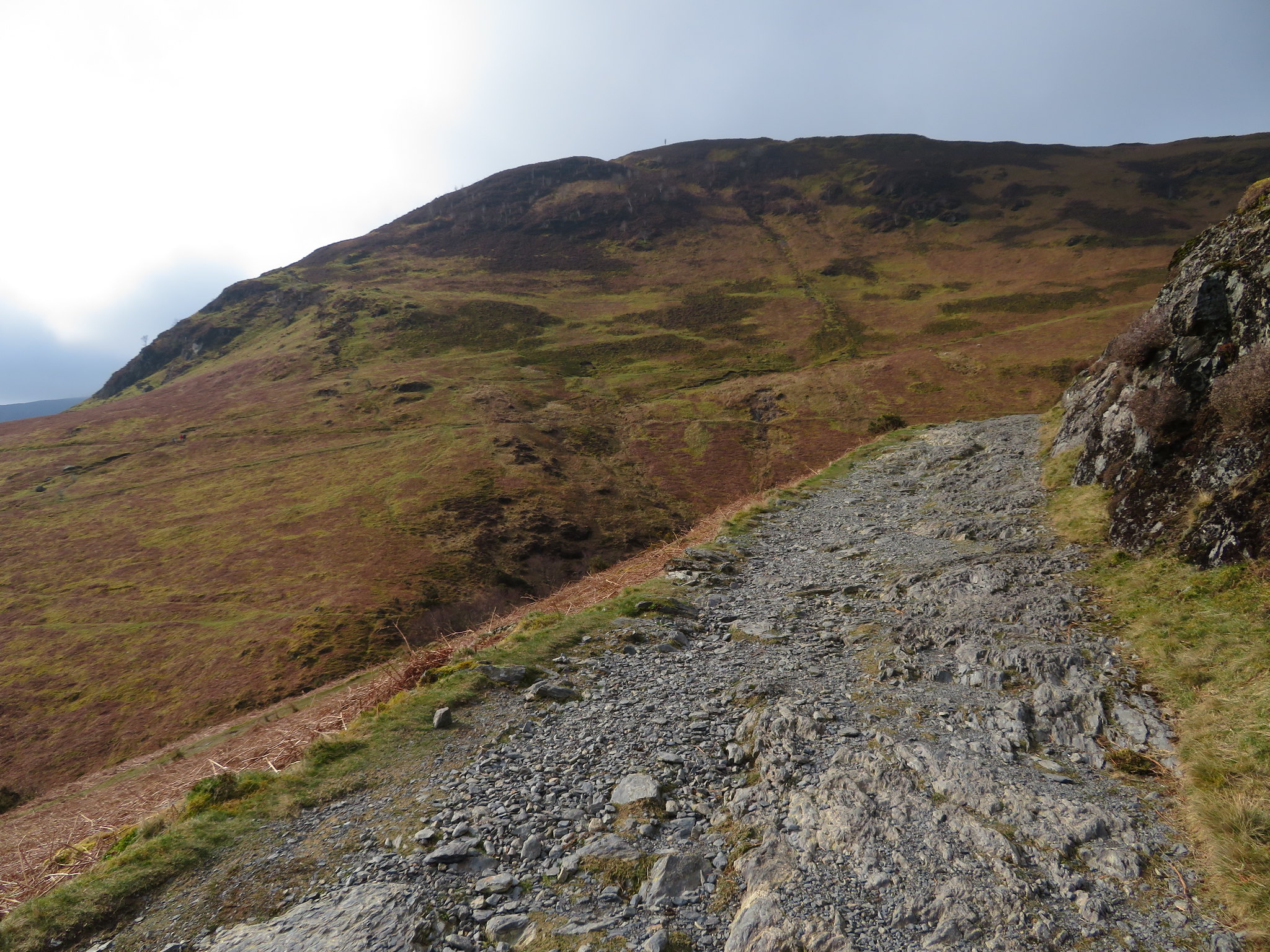
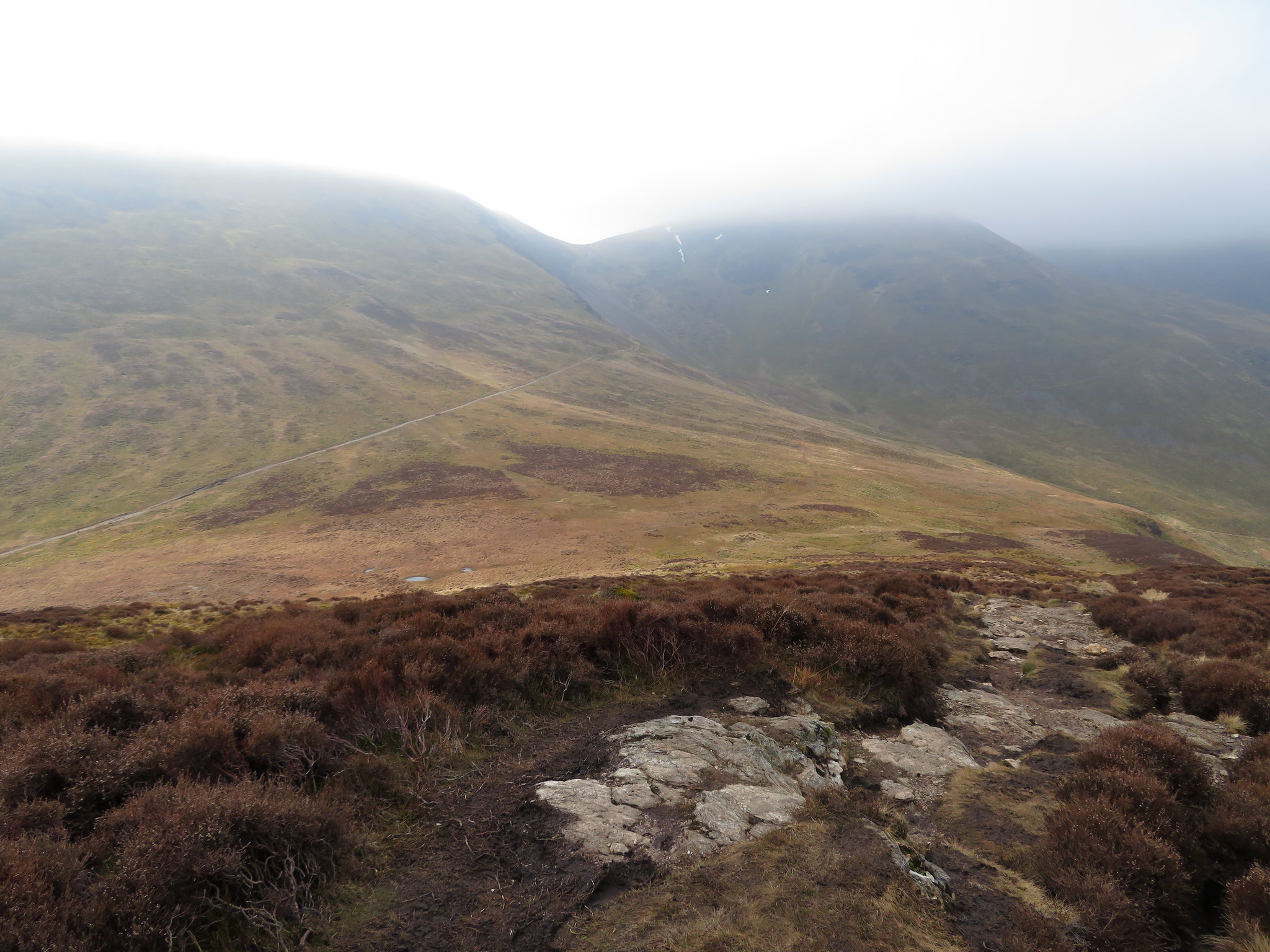
 Another few minutes of walking found us crossing High Moss as we made our way along the grassy path before beginning the climb roughly east on the narrow and stony path that would take us to the eastern end of Scar Crags where the ground was wet and boggy before we met the regular ridge path leading from and to Sail and Crag Hill. This unmarked path up to Causey Pike is well graded and apart from a few soft spots easy to negotiate and in my opinion a much better option than taking the path to the col that lies between Sail and Scar Crags, unless of course one is wanting to be on those two particular fells first and therefore saving an out and back walk to and from Causey Pike itself. The clag hadn't shifted at all so we found ourselves just climbing into the cloud with not much to see but a murky greyness ahead.
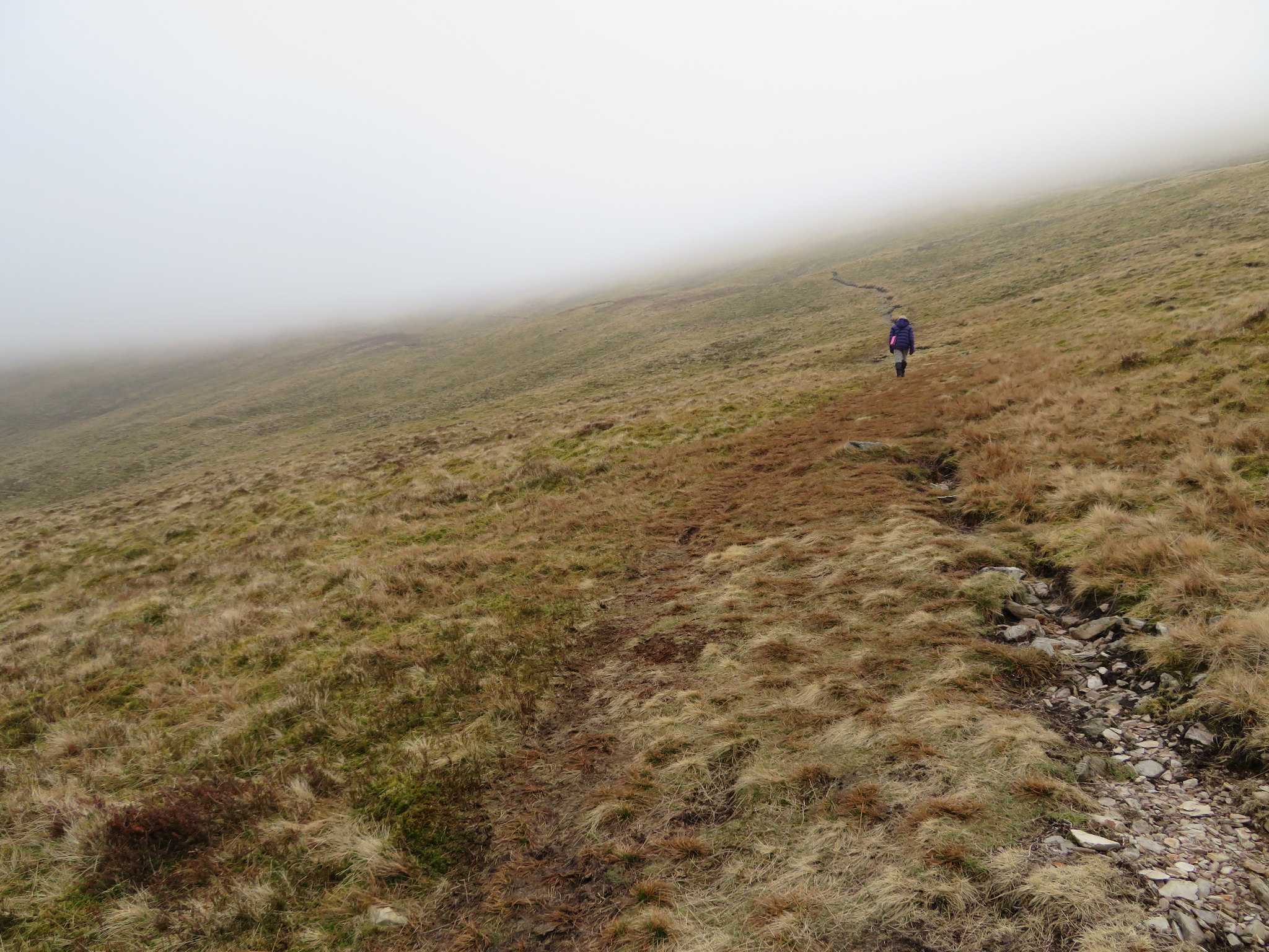 Hope there are no gorillas in the mist
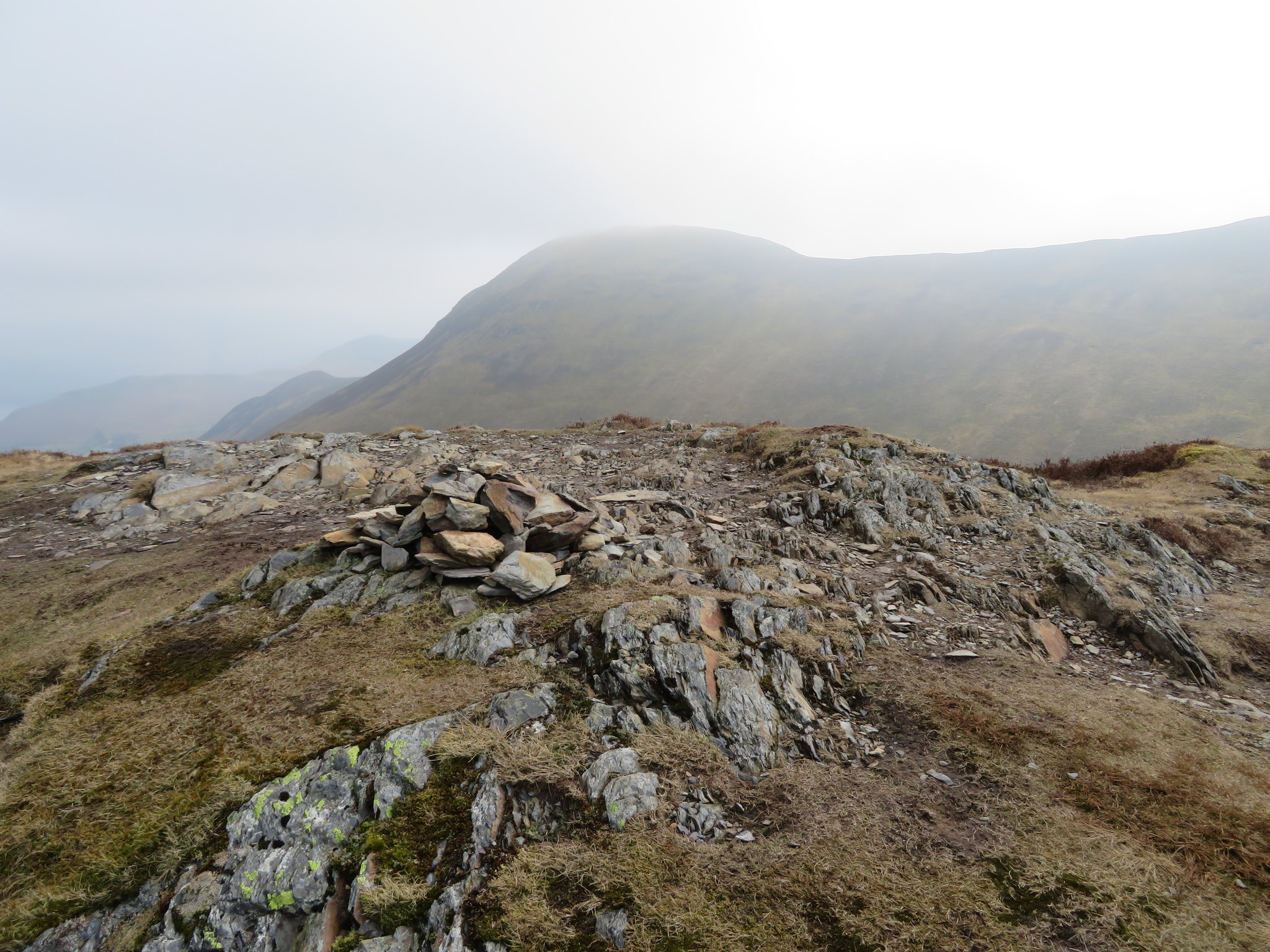
 It wasn't long before we reached the first of the five humps that make up the summit of Causey Pike, this one not being the actual or highest summit.
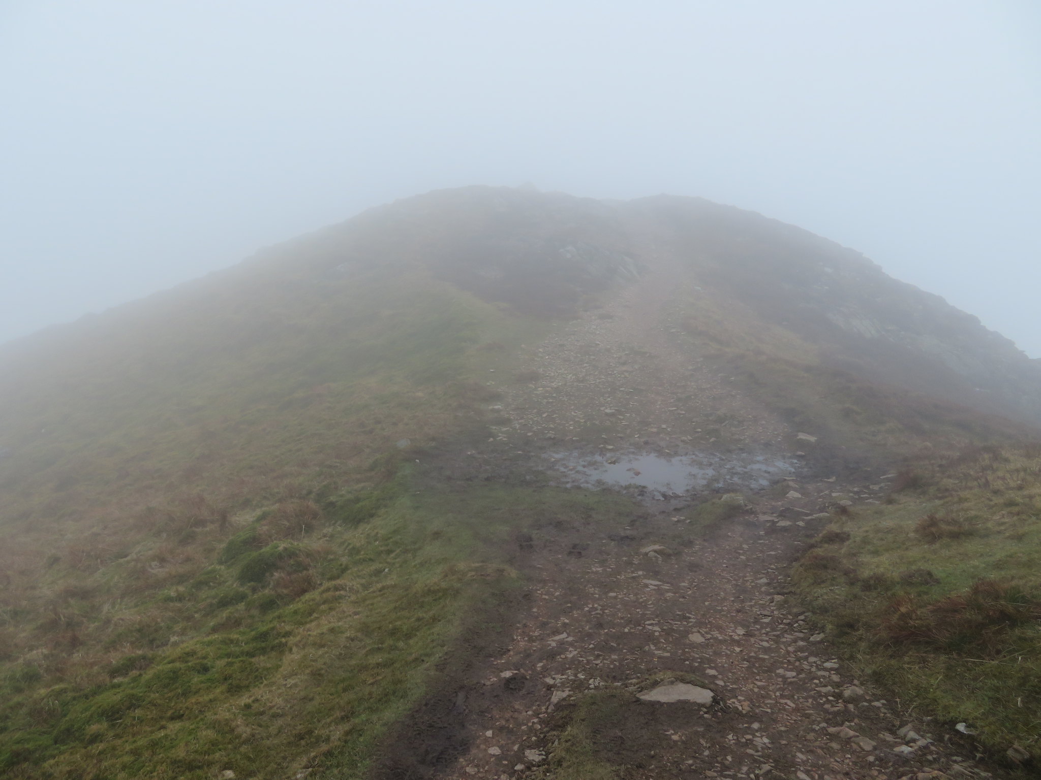 The first of the five humps of Causey Pikes top
 Elizabeth remembering her last experience of being here on a foggy day was a bit reluctant to go for the actual summit that is a bit further on so was happy to stay put whilst I continued on to the summit with no views. I arrived at the true summit just as part of the crowd that I had seen climbing up from the east side made an appearance whilst the others were still struggling over the more scrambly bits of the climb up. There was no point in taking any photos until as I turned around I was met by E who had got cold whilst waiting for me and decided that she would kill the demons and come and join me on the summit where she stood for a few minutes before retreating slowly back off.
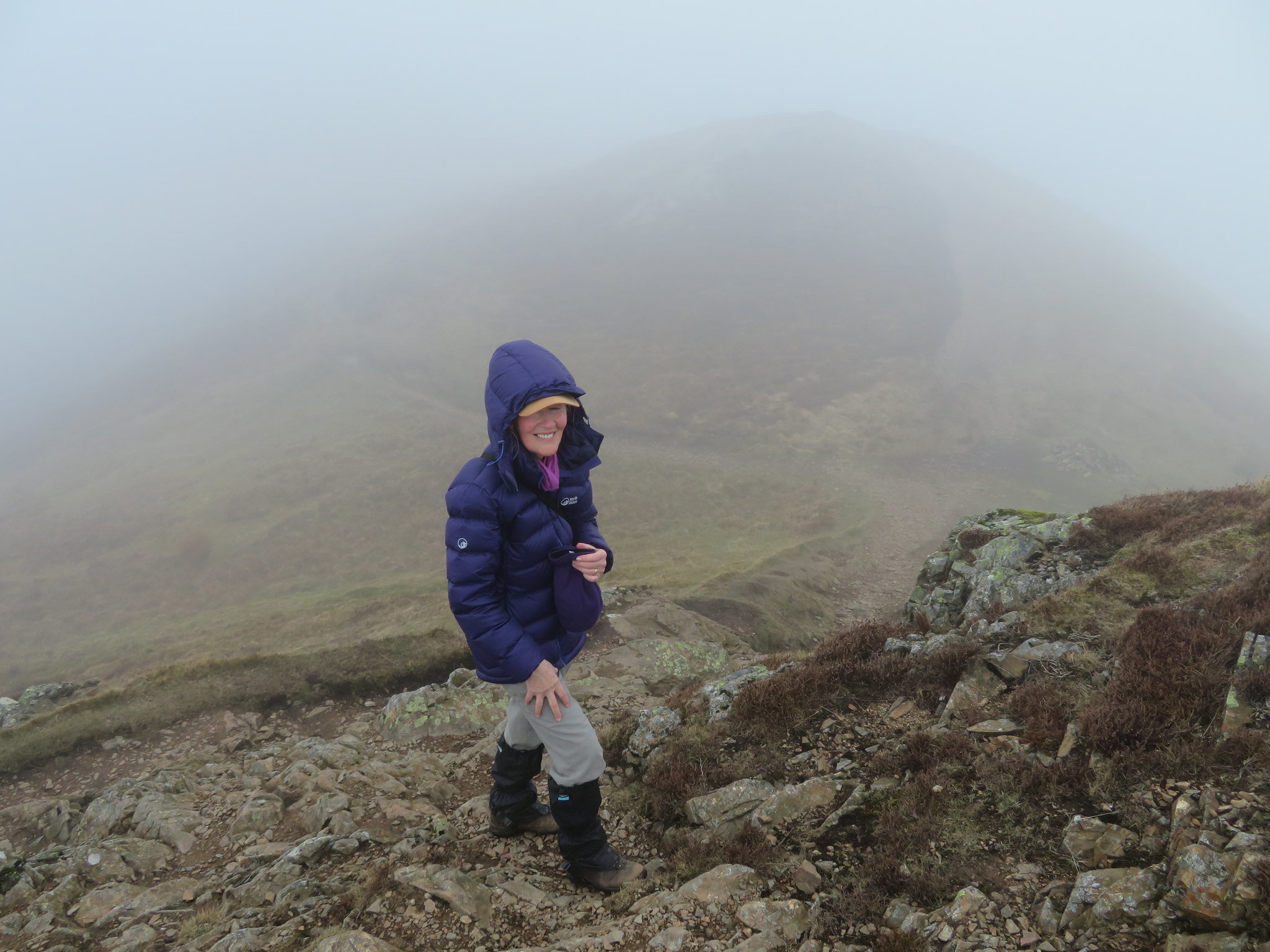 Elizabeth just off the summit of Causey Pike
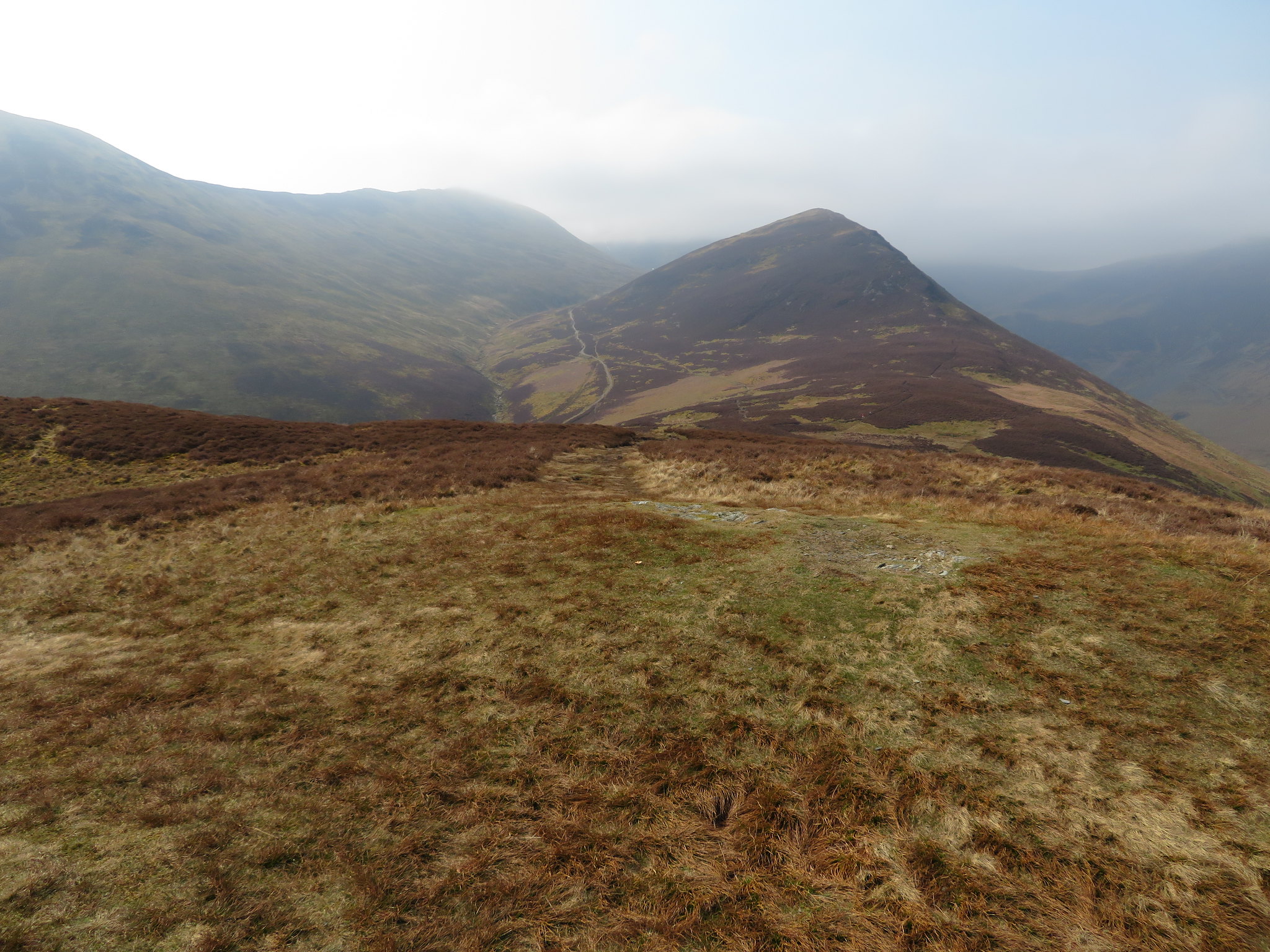
 Not wanting to linger in the cold and clag we made our way back to retrace our steps back down our upwards journey and noted that the cloud had dropped even lower since we had been at the top and now Outerside was shrouded in the same grey wetness as the higher summits…
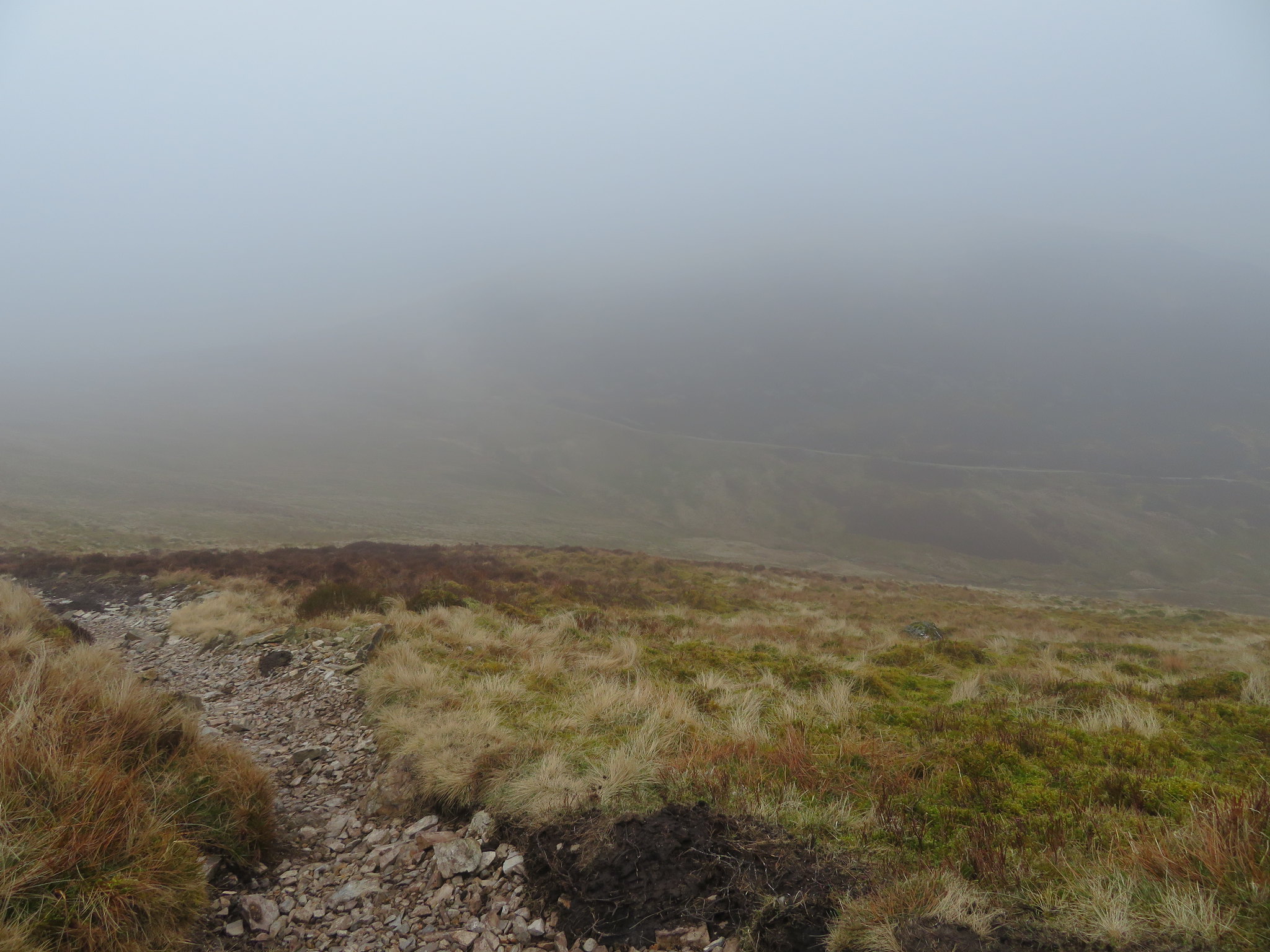 Outerside dressed in clag
 but before we had gone much further that same low cloud had risen again.
 Outerside 9 minutes later
 Now that the cloud had lifted somewhat we could see our intended route across Outerside, Stile End and Barrow with a half decent view of Kinn of the Grisedale Pike ridge from Braithwaite now in full view.
 Stile End and Barrow with Kinn behind the col
 We soon made it back to the old mine track from where we looked back to see the summit was clearing…
 Looking back to Causey Pike
 and from where we then took the path that runs roughly north across the fell of Outerside to pick up the main path on the northeast ridge to the summit.
The odd photo taken on the way up gave us various views of the surrounding fells, or what we could see of them.
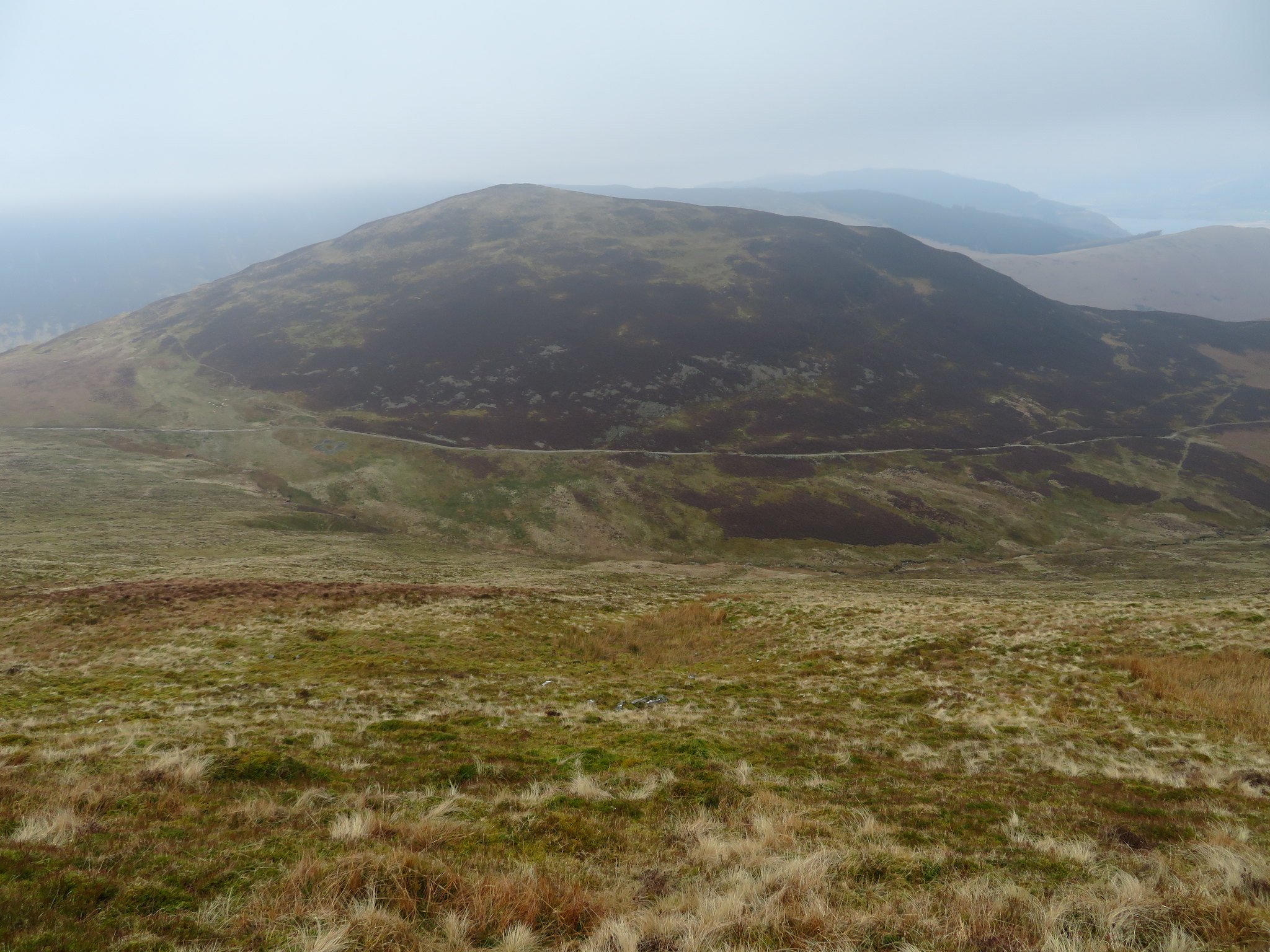
 Crag Hill to Scott Crag to Sail
 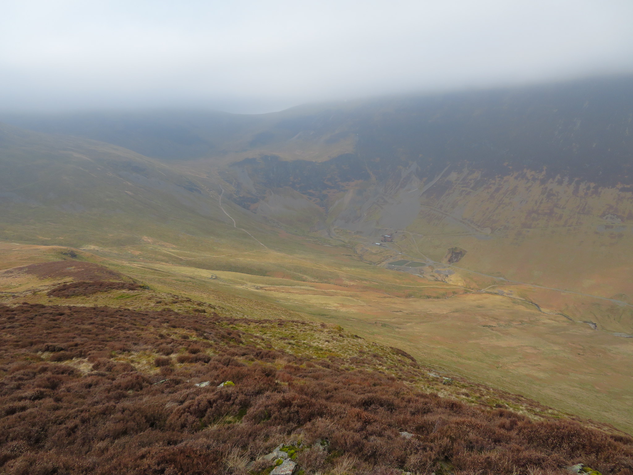 Looking into Coledale and the Force Crag Mine area
 And from the summit.
 Causey Pike from Outerside summit
 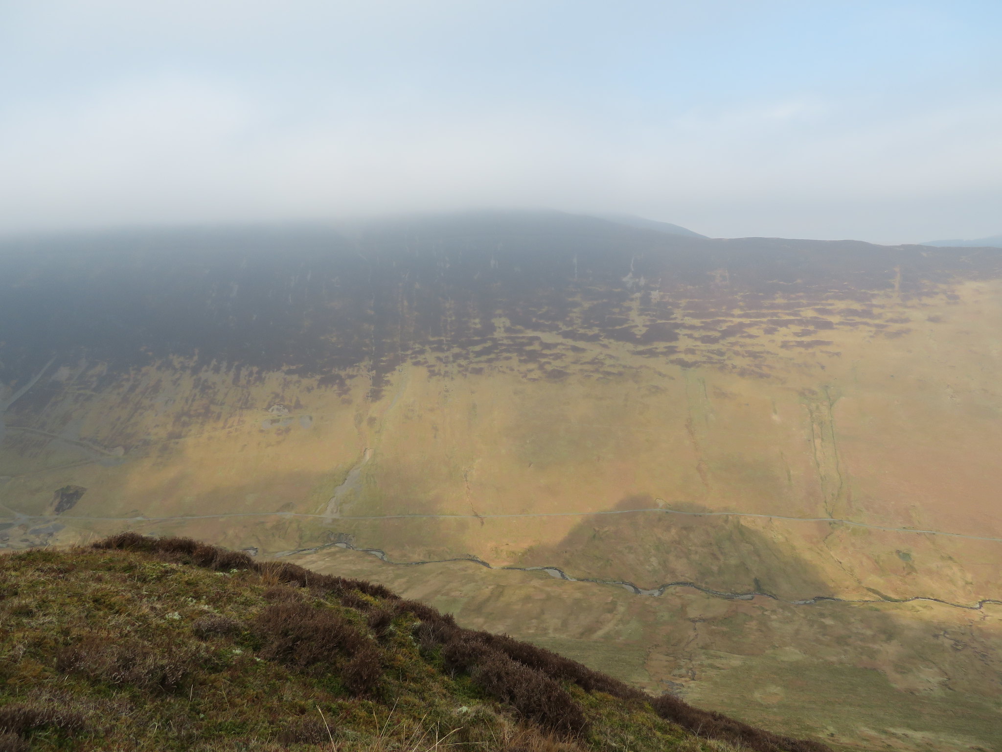 Grisedale Pike is up there somewhere
 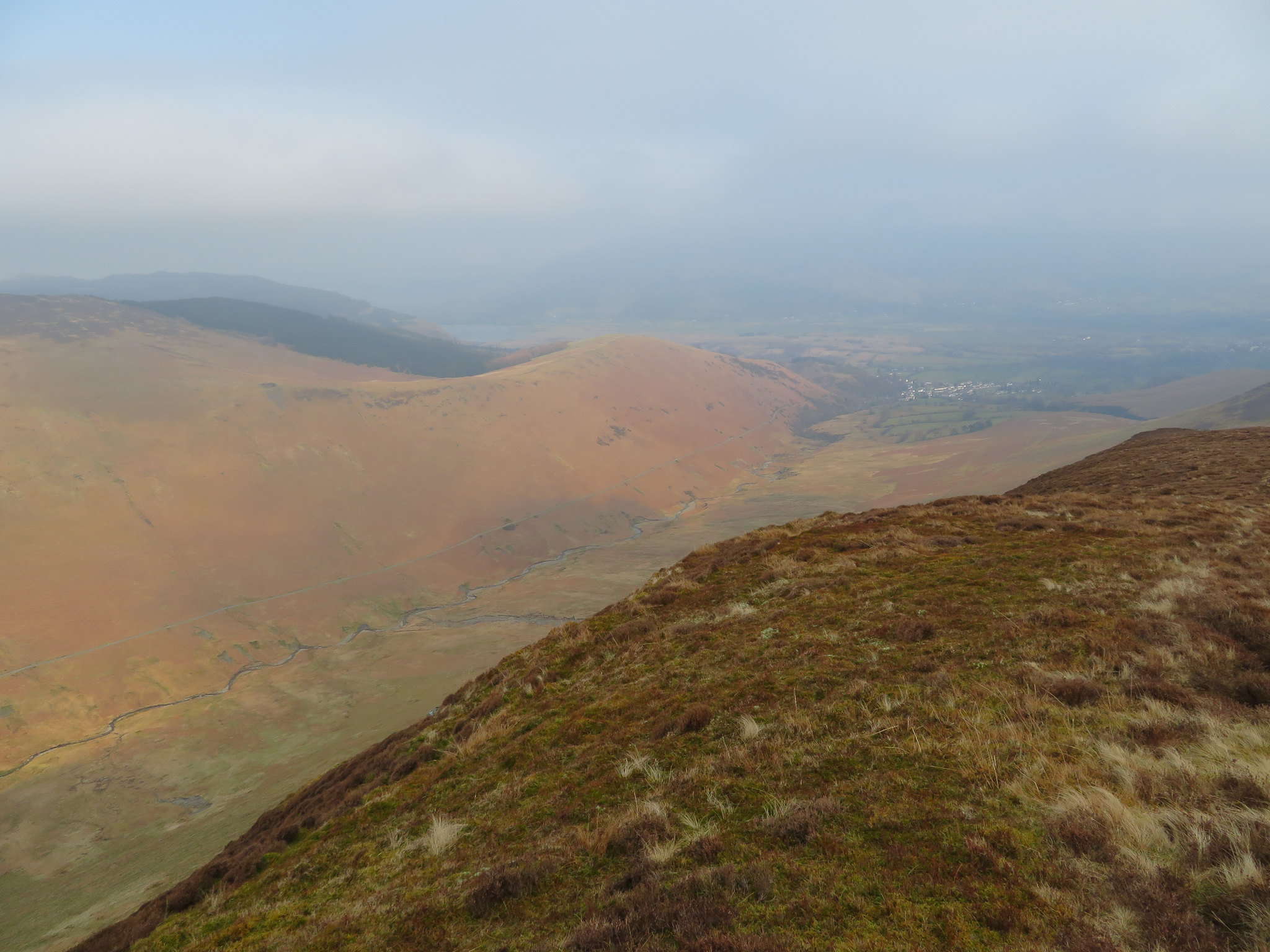 Braithwaite - Kinn and the ridge to Grisedale Pike
 Leaving this one behind we now looked to the northeast that gave us a good indication of what was left to do. Stile End and Barrow lay in a long line before us separated by two great hollows, Low Moss between Outerside and Stile End and Barrow Door before we start the climb up our last hill. These three fells are quite big, bigger than some people may realise when looking at the map but fortunately there are frequent ways of escape for anyone who tires along the way. Keswick and Derwent Water can be seen through a greyness of haze with the entrance to the Newlands Valley shooting off to the right of Barrow.
 Leaving Outerside for Stile End and Barrow
The path off Outerside is good if not a little steep and rough as it drops off towards Low Moss the wet area that we have to cross next before climbing Stile End, and we now had a much clearer view of Braithwaite as it guards the entrance into Coledale.
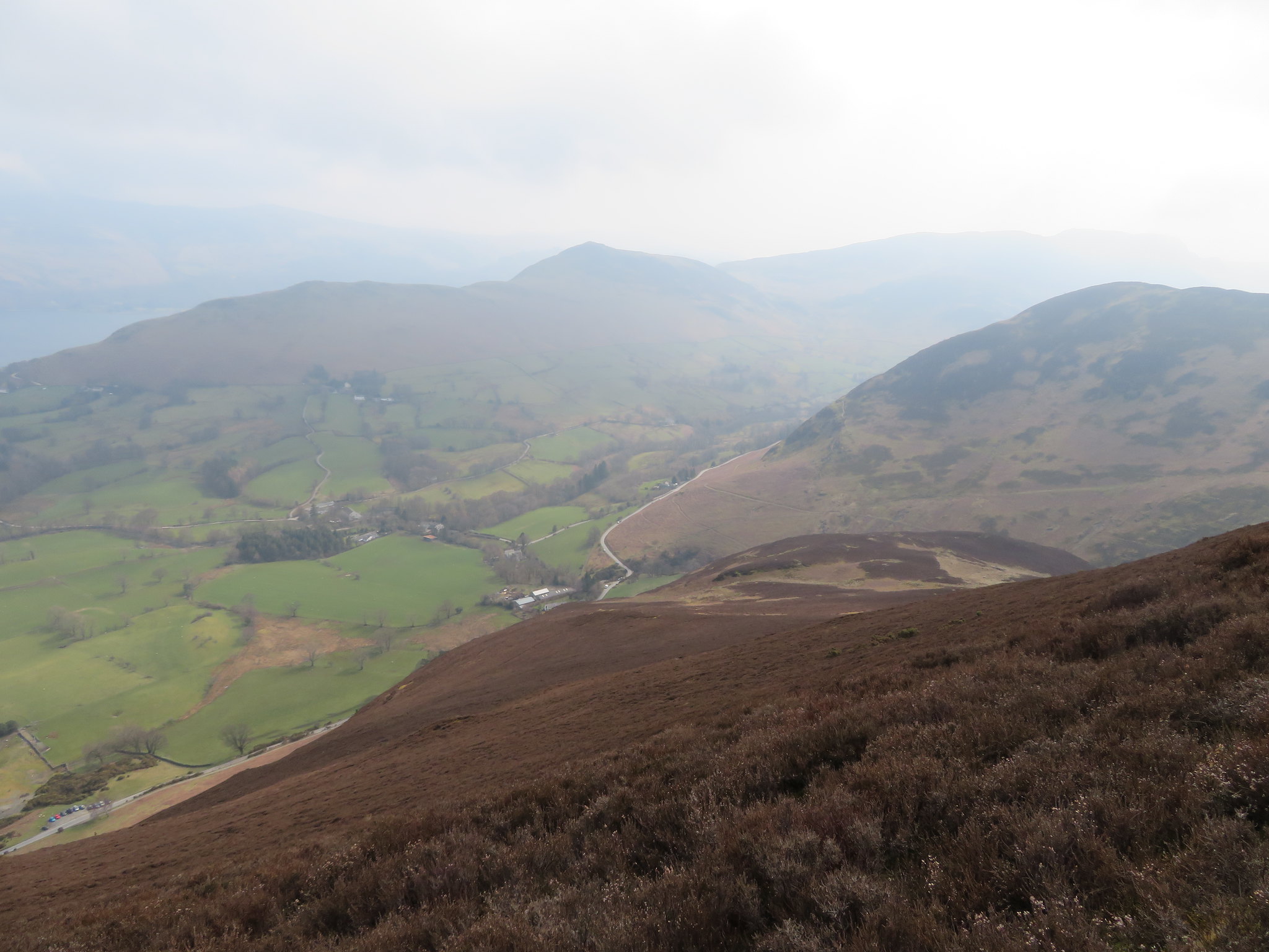
 Braithwaite at the entrance to Coledale
 There is a great abundance of heather around this neck of the fells and the path is laid out before us like a dark line painted on a background of brown as we cross Low Moss.
 Crossing Low Moss for Stile End
The walking is easy all the way and we were soon on the summit of Stile End from where we looked back from whence we came. It was still very cloudy but now there were some small areas of blue appearing here and there, but none over us yet. We had not seen another soul from leaving Causey Pike until now and suddenly we were surrounded by walkers with most of them coming off Barrow, climbing up towards us whilst another large group were making their way over along the path from the old mine track.
 Outerside from Stile End
 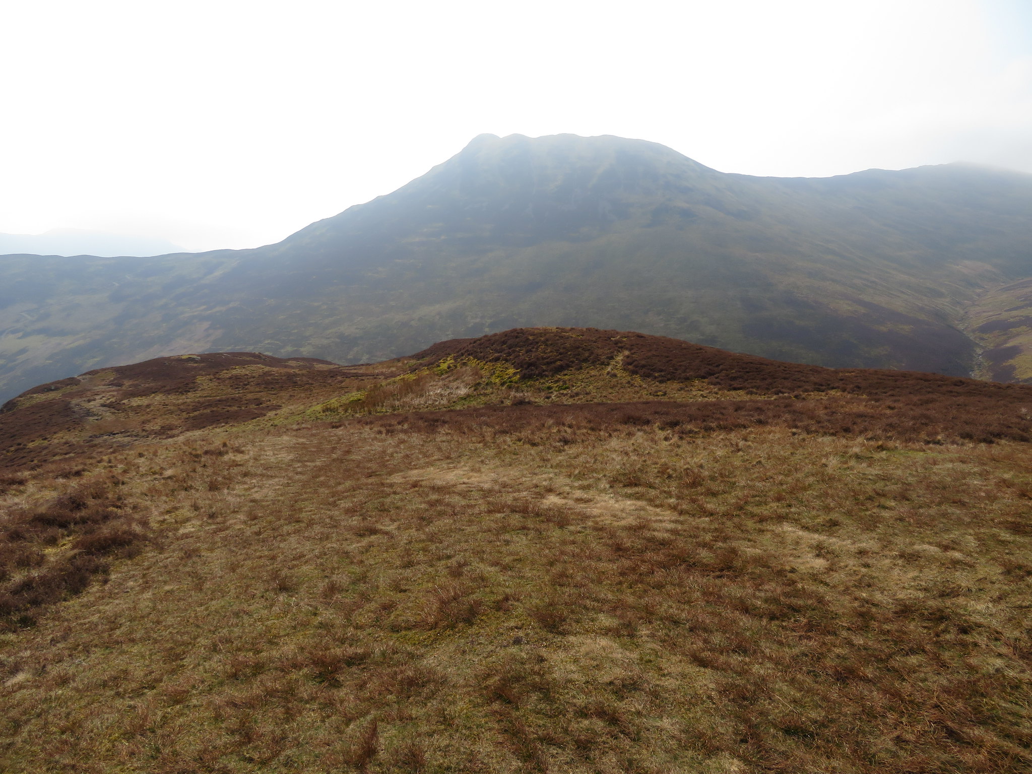 Causey Pike from Stile End
 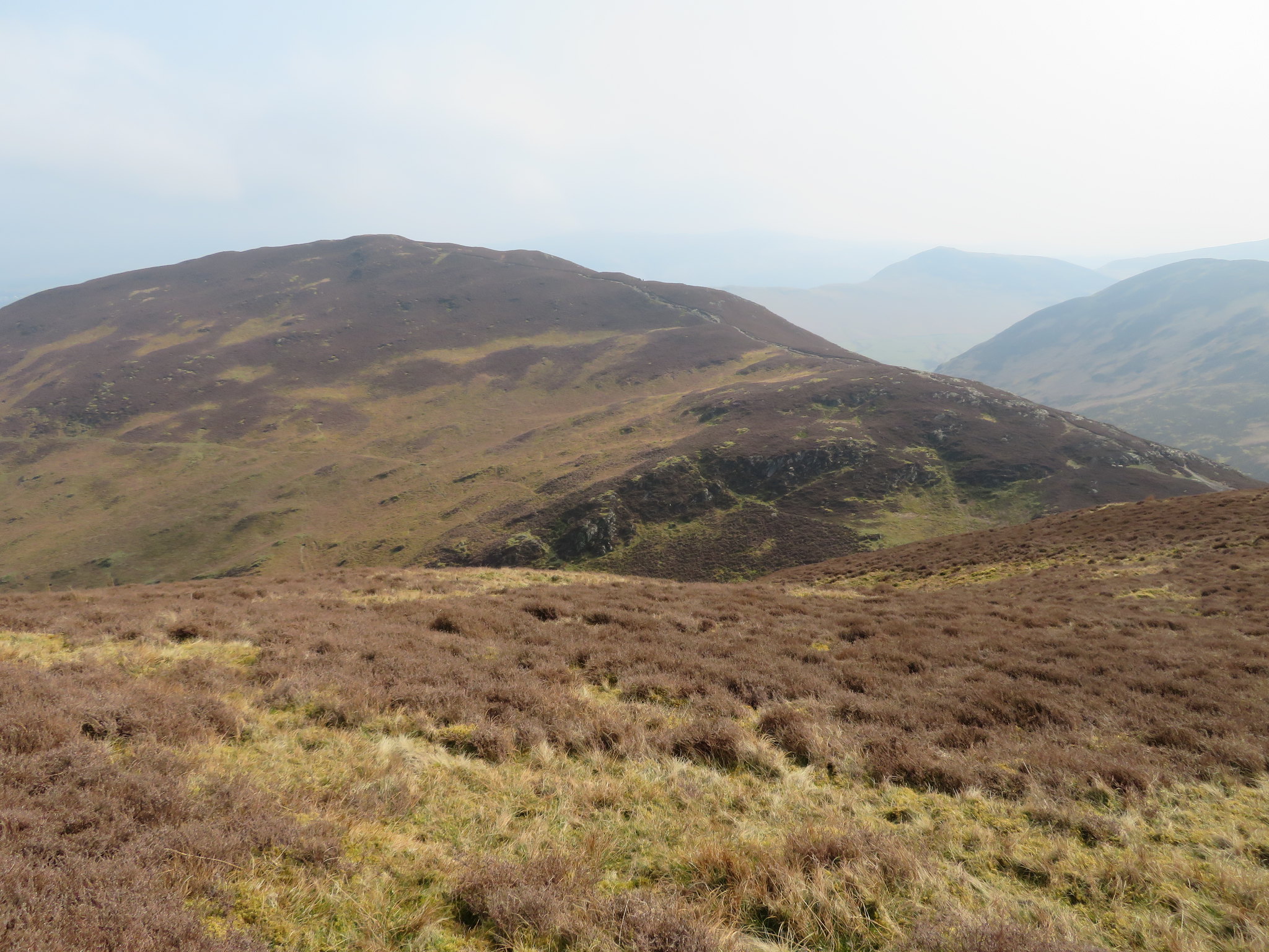 Barrow
 Once again the path off Stile End towards Barrow Door is quite steep and rocky in places and we had to stand to one side on a few occasions to allow climbing traffic priority of passage.
 Barrow Door from Stile End
 Barrow Door is a junction of a few paths that arrive and leave from various directions, some marked on the OS Map whilst others are not. Our direction of travel was now up the northeast ridge along a steady enough but initially rough path that gets steadily greener and boggier in places as it gets nearer to the top of the fell.
Once again a few photos were taken as we made our way up to the summit.
 Stile End from Barrow Door
 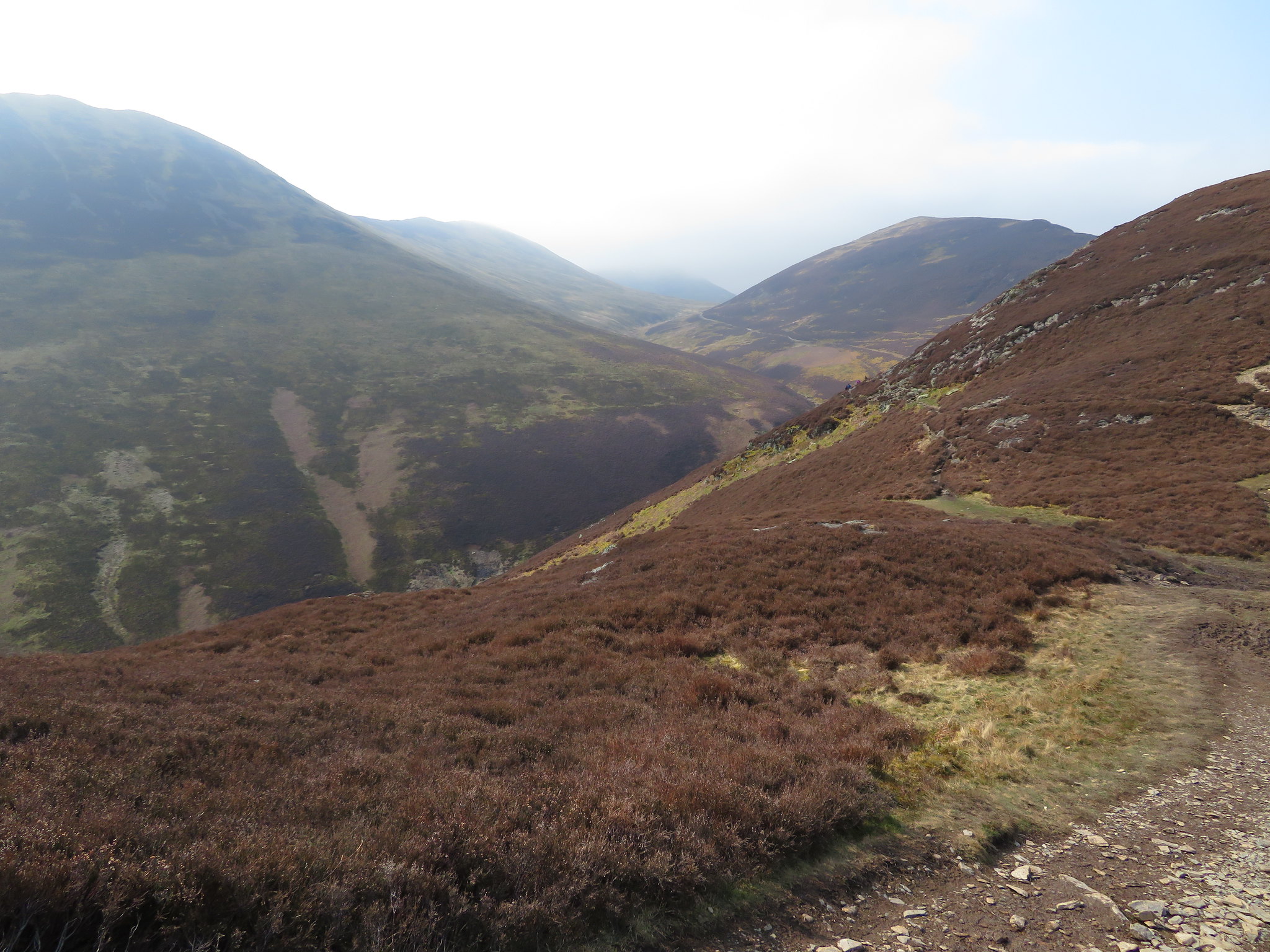 A look along Stonycroft Gill
 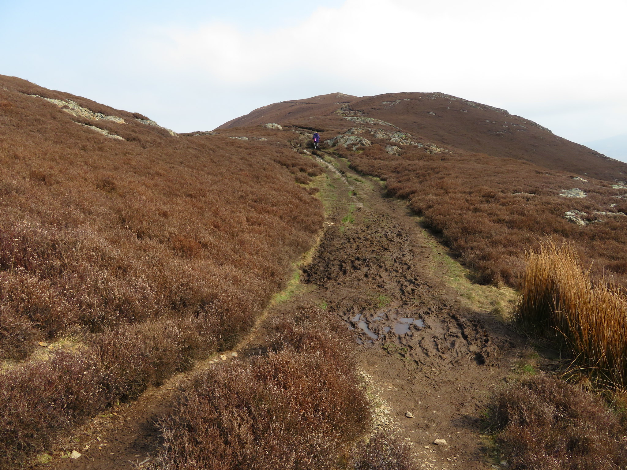 A way to go yet to the summit
 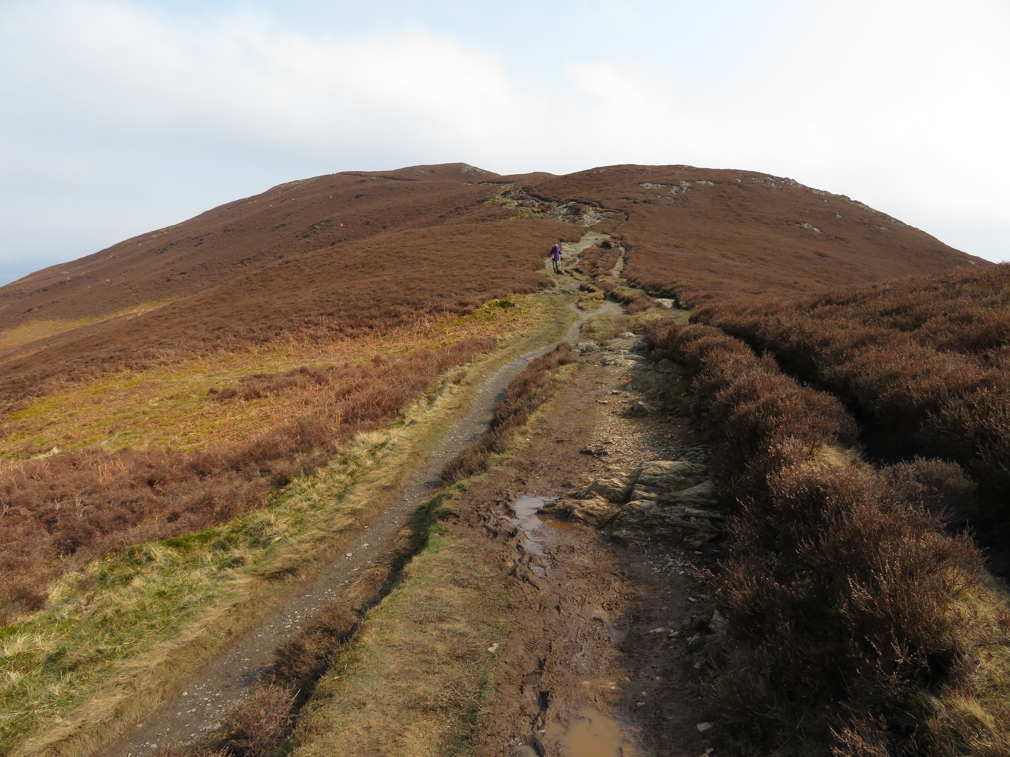 Hey wait for me
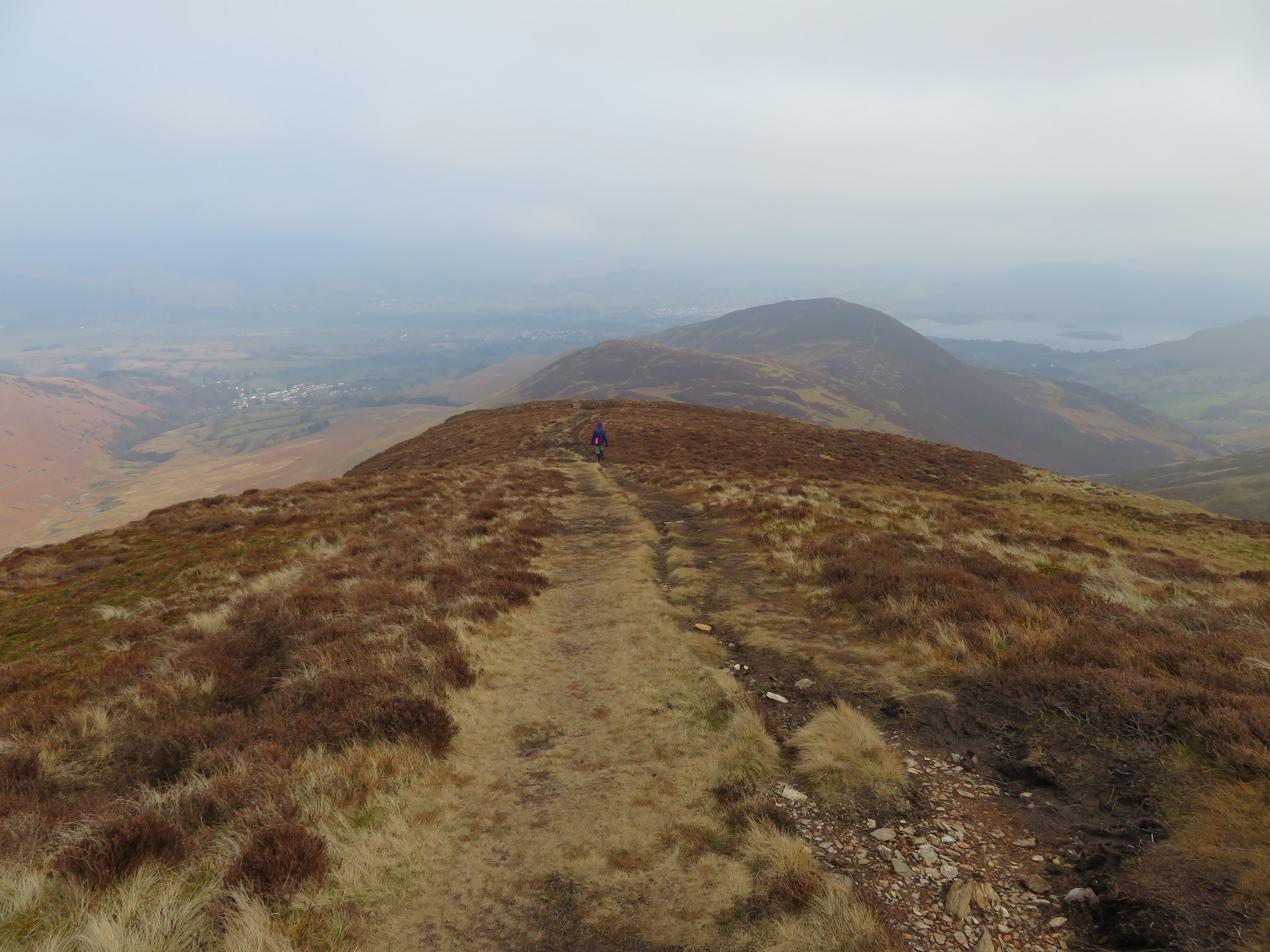
 We passed a couple who were studying a map and seemed a little perplexed but upon asking they said that they were alright and we were soon at our 4th and last summit for today, Barrow with its rough and ready top of bedrock poking through the tattered remnants of fell grass, brown soil, and small stones. By this time the sun was blessing us with its presence and the rise in temperature was quite obvious.
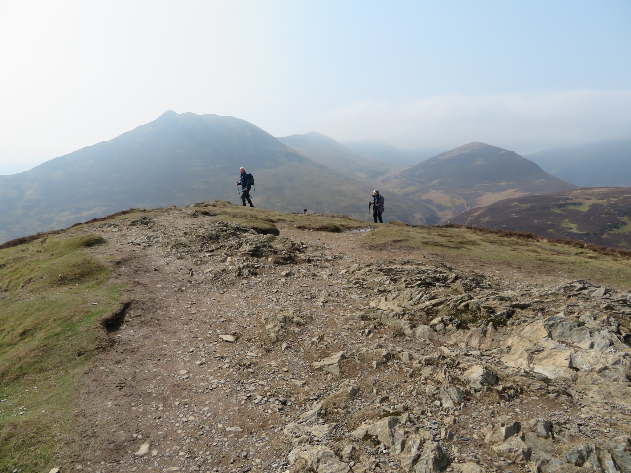 Causey Pike - Sail - Crag Hill - Outerside
 Good views are to be had from this summit but the hazy conditions are spoiling them somewhat and with numerous parties of walkers sitting around where they were either eating, drinking or just enjoying the views after a few more photos we made a sharp exit for the long walk down the ridge towards Braithwaite Lodge.
 Newlands - Cat Bells to Maiden Moor with Rowling End to the right
 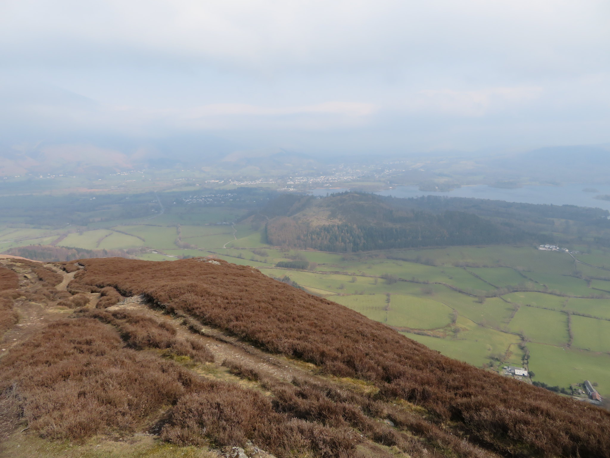 Hazy view of Keswick
 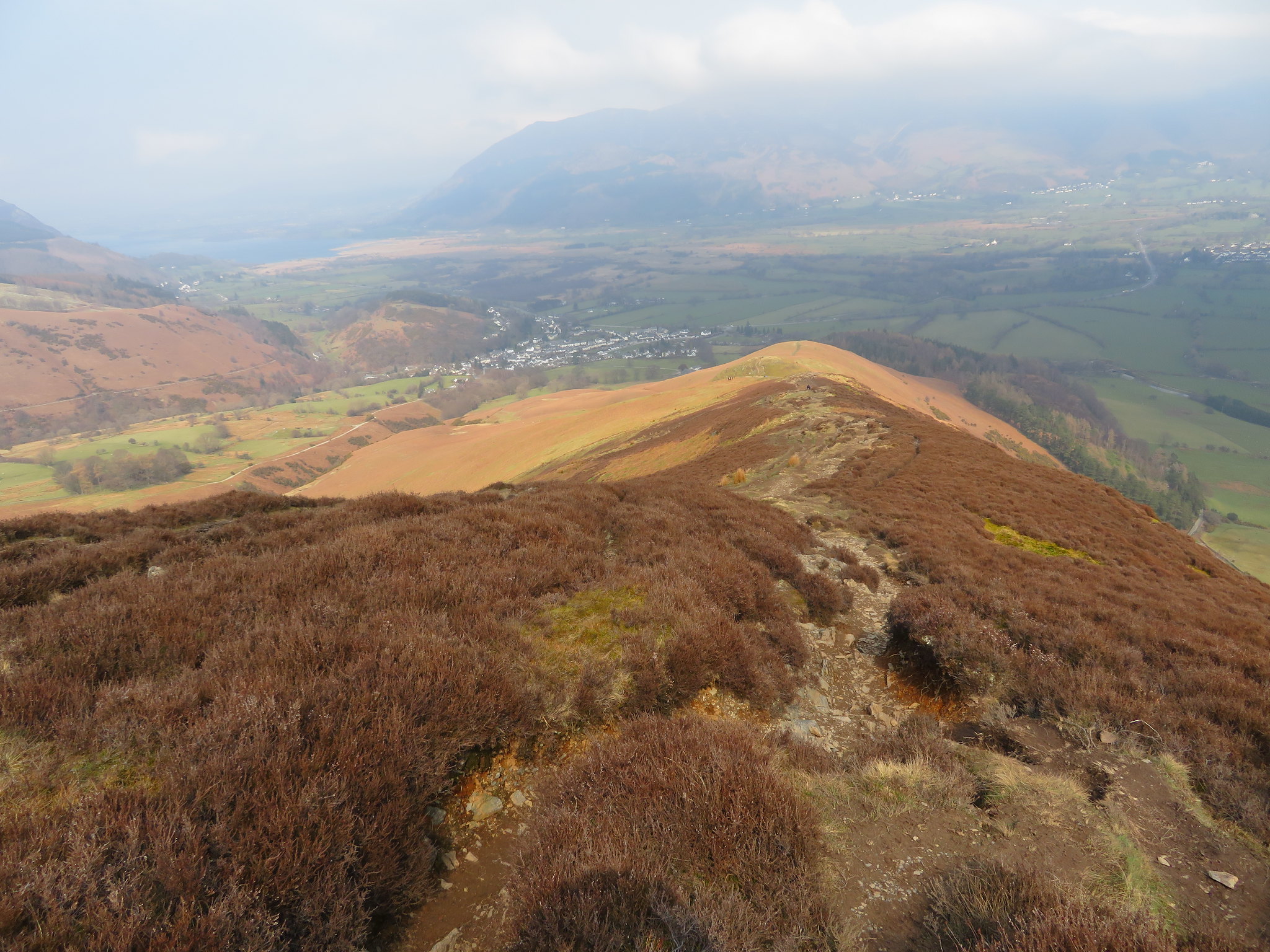 Barrow north ridge
 We hadn't been walking down too long before we heard a loud buzzing and looking up we saw a large drone with a camera hanging beneath its belly. With its six legs and rotors whirring it looked more like a giant robotic insect getting ready to swoop down for its next meal and after roaming around the sky for a while it disappeared back down the fell from where it was obviously being controlled. Sure enough as we lost more height we could see a group of people and the drone landing by them and as we dropped over the next rise we came across this lady - Debbie - in a special adaptation of a wheelchair, an Overlander, one that has been designed for climbing the fells making them more accessible for the disabled.
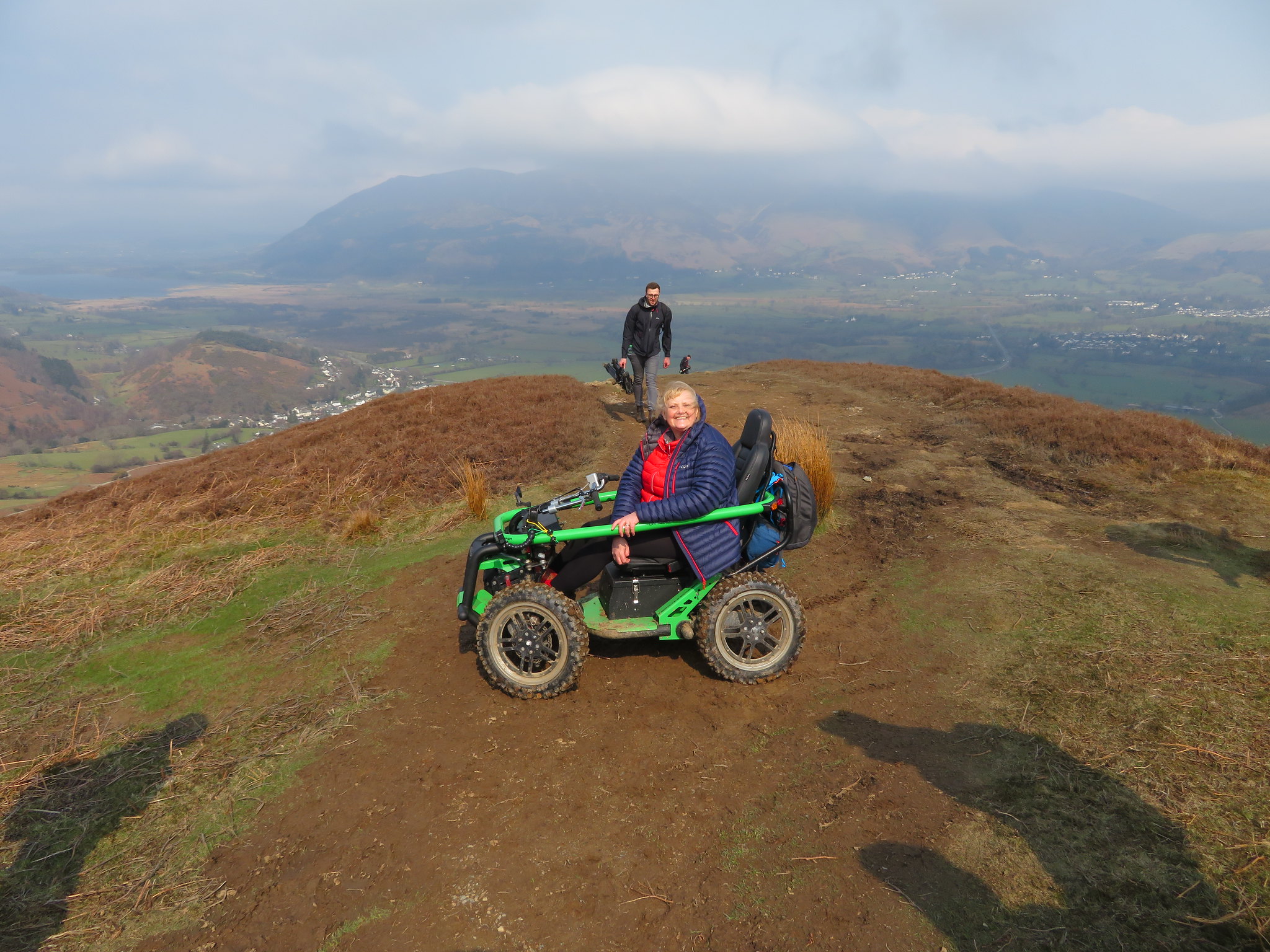 Debbie in her Overlander
 Debbie was with a film crew from ITV 4 filming her current escapade into the fells of Lakeland for a show in a series called something like Lakes and Hills that will be shown sometime in the next few weeks. We had a chat with her and her husband Andy, also some of the filming crew one of whom told us that Debbie had completed the Coast to Coast, Hadrian's Wall, some southern coastal walks, taken her trusty steed up Blencathra and Skiddaw and been out and about with Julia Bradbury quite a lot whilst filming for TV shows. Asking about the stability of her Overlander we were told that there were no problems at all on the fells the most danger being on the times that they had to be on a main road. We came across them at around the 370 metre mark the batteries of which the buggy is run with had used about ⅓ of their capacity to get there. Whether they were going to summit out on Barrow or go no higher we didn't know or find out. Shortly after leaving their company we met the drone operators with one of them near staggering under the weight and size of the one that they were using.
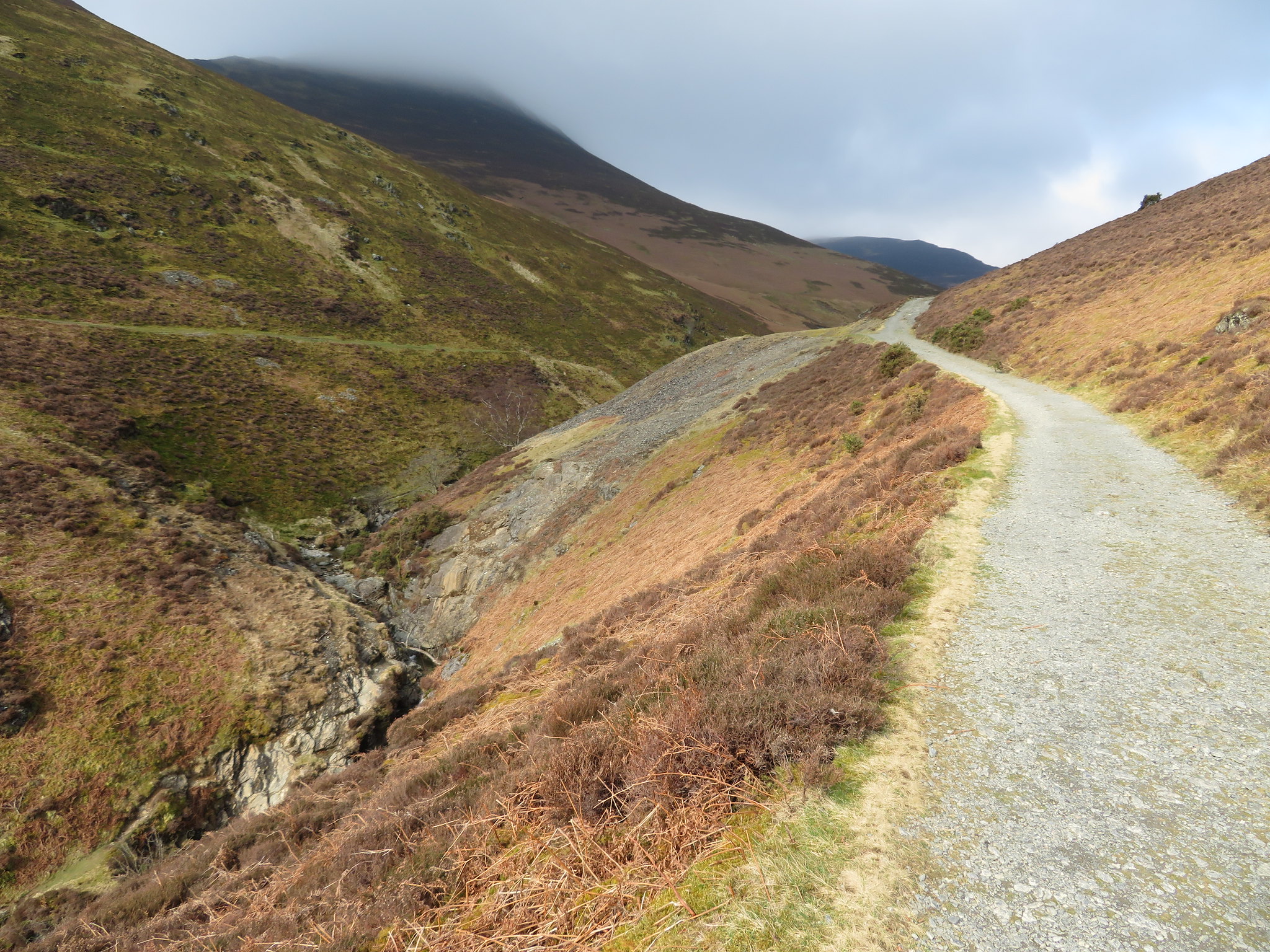
We continued down the ridge intending to walk all the way down to the wall just above Braithwaite Lodge to then take a turn to the right and follow the wall down the outside of the wood, the road, and car but as we got to the last small rocky knoll we took the grassy zigzag path…
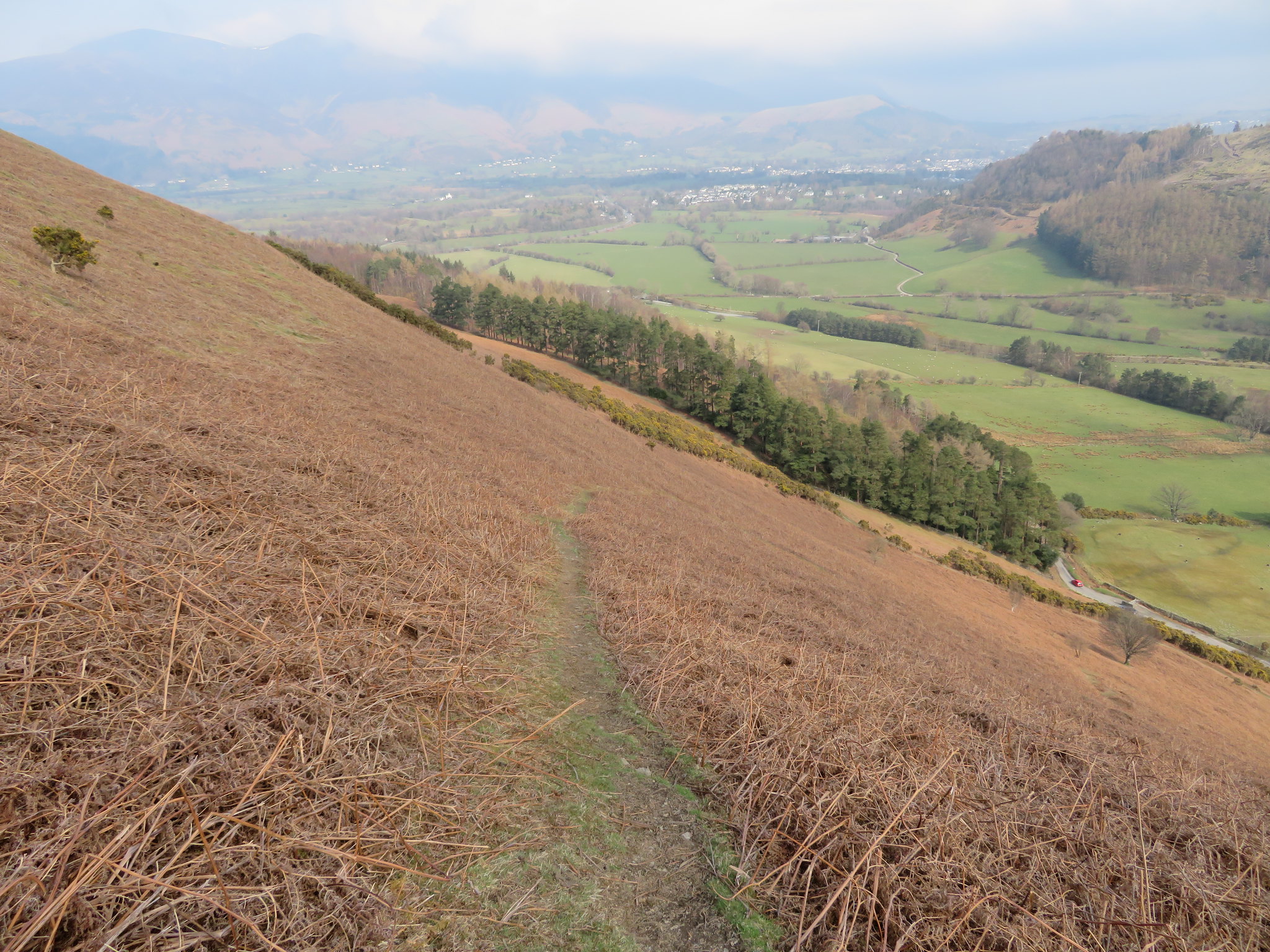 Path down the east face of Barrow
 down to the right therefore cutting off quite a large corner and within minutes were back down on the metalled road and walking back through a solid avenue of yellow flowering gorse bushes to be back at the car within a few minutes.
Another good but short walk that despite the murky start ended up in warm sunshine and it was just a shame that we couldn't have any views from Causey Pike summit when a day like we had on Place Fell last week would have given the most wonderful and clear views of the fells of the Coledale Round. We were surprised at the number of people out and about for a Wednesday until we remembered that the schools were still on holiday
