free to be able to rate and comment on reports (as well as access 1:25000 mapping).
Sub 2k Marilyns: Moel-y-Gest
Date: 22/04/2018.
Distance: 8.5 km.
Ascent: 230m.
Time: 1 hour, 30 minutes.
Weather: Breezy with drifting cloud and some sunshine.
Also some cycling - 75 miles on Saturday and 46 miles on Sunday.
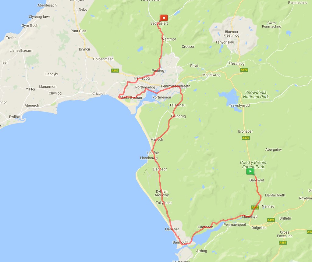
There isn't actually much walking in this report, as it was a quick bag on a cycling weekend. The weather was great though so I have also dropped a few photos in from the cycling part. The weekend was organised by a friend from work in Inverness, and his nephew in Manchester, so there ended up being 9 of us from all corners of the country. Last year we based ourselves near Kishorn, but this year it was the Southerners' turn to pick a location. Wales suited me fine as I could then go on and spend a few days at my mum and dad's on Anglesey. I of course came along as the token non lycra-clad cyclist!
 Day 1 bike
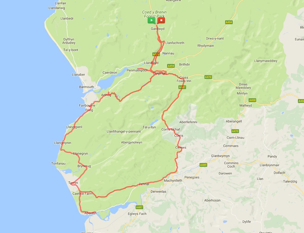
 The Mawddach Big 8 now appears to be a thing - two loops from Dolgellau of around 50 miles each, forming a figure of 8. I had petitioned to do the southern loop on Saturday as it meant I could break away from the northern loop on Sunday and head for Anglesey. We headed down through Dolgellau, Corris, the Happy Valley, Aberdyfi, Tywyn and past Llynau Cregennen before returning to our base in Ganllwyd. Somehow with various add-ons, wrong turnings and an out-of-the-way starting point, we managed to turn 50 miles into 75, but it didn't matter - the weather was tropical and the food and pub stops were plentiful (well 3 actually, but that's plenty enough for cycling!). For me, this was a great return home, as I had toured around most of these roads on the bike in my late teens.
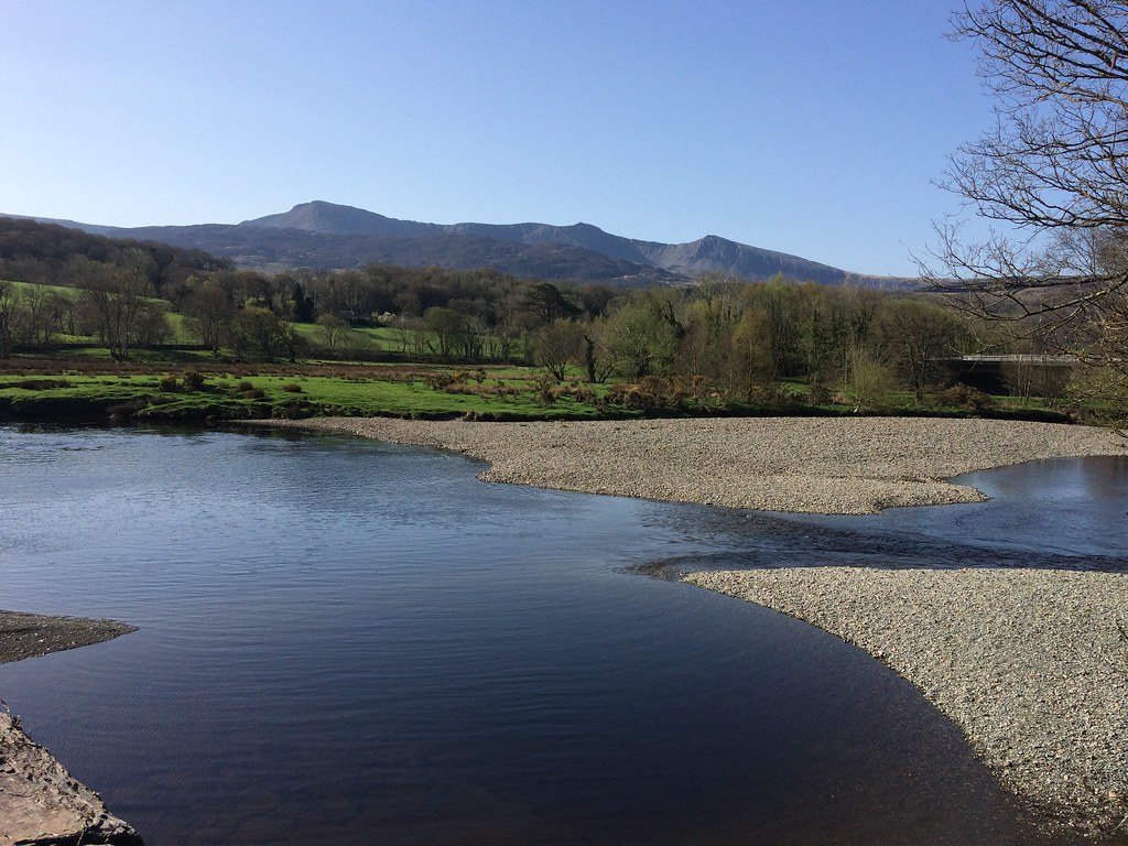 Cadair Idris from Llanelltyd
 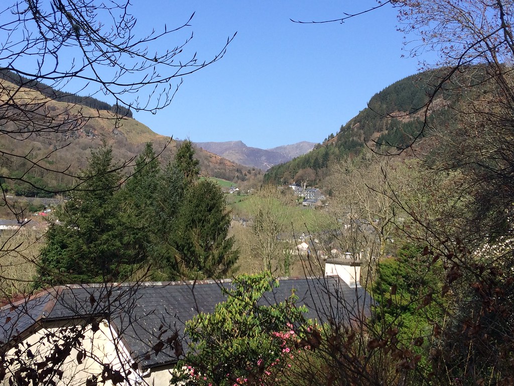 Cadair Idris from Corris
 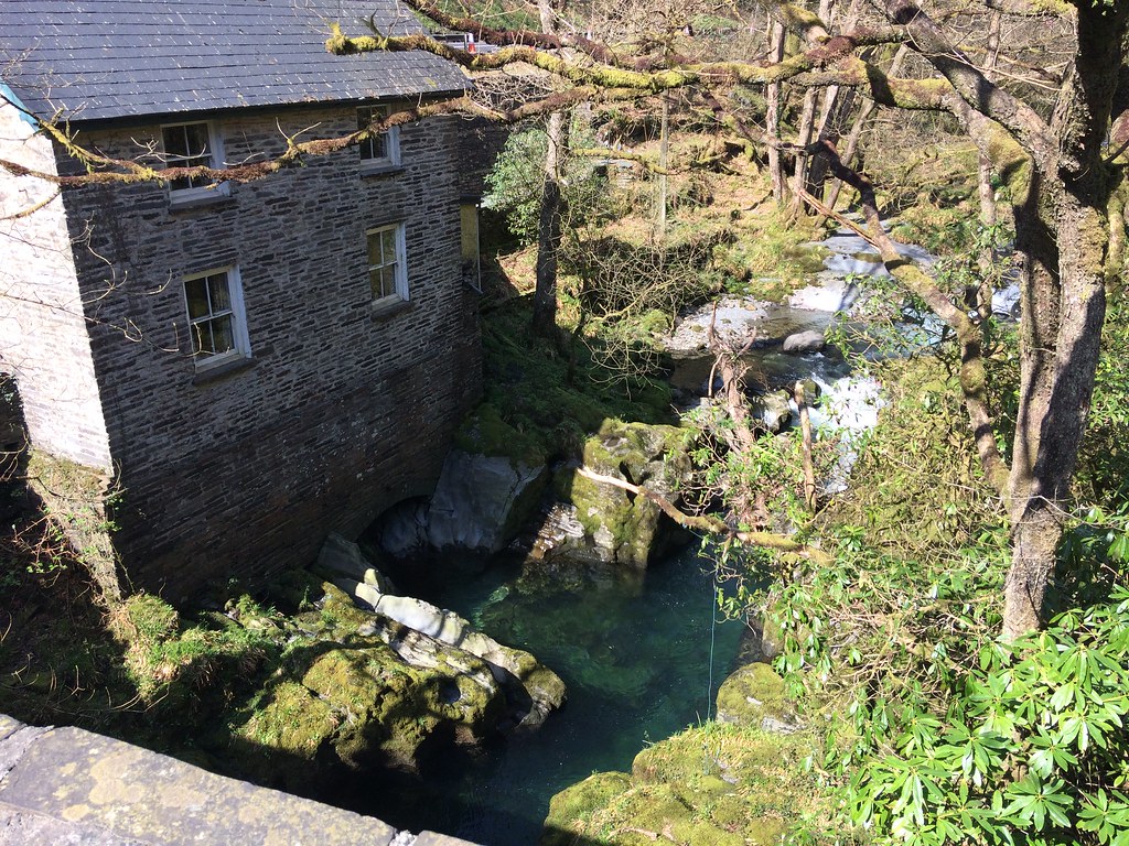 Nice pool near Corris
 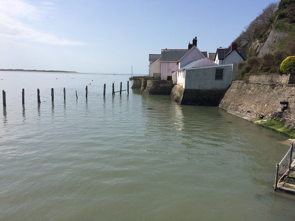 Aberdyfi
 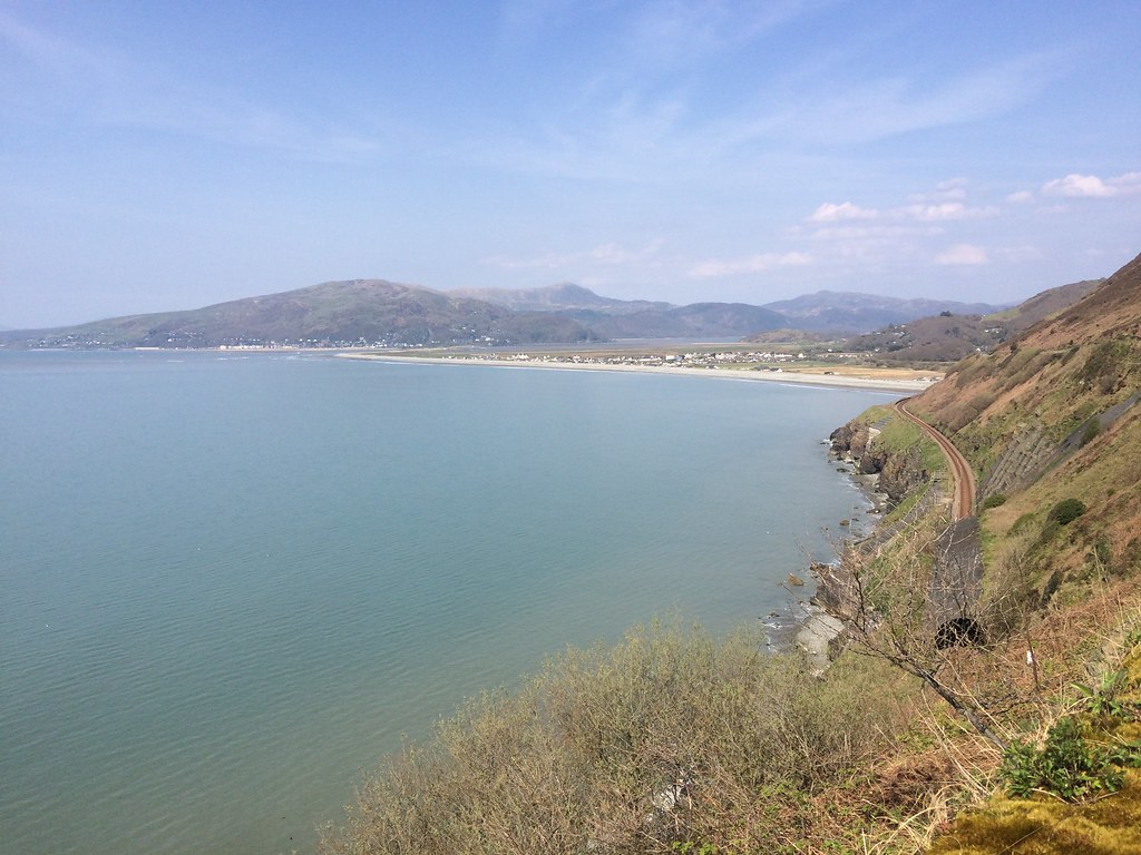 Barmouth Bay and the Rhinogs
 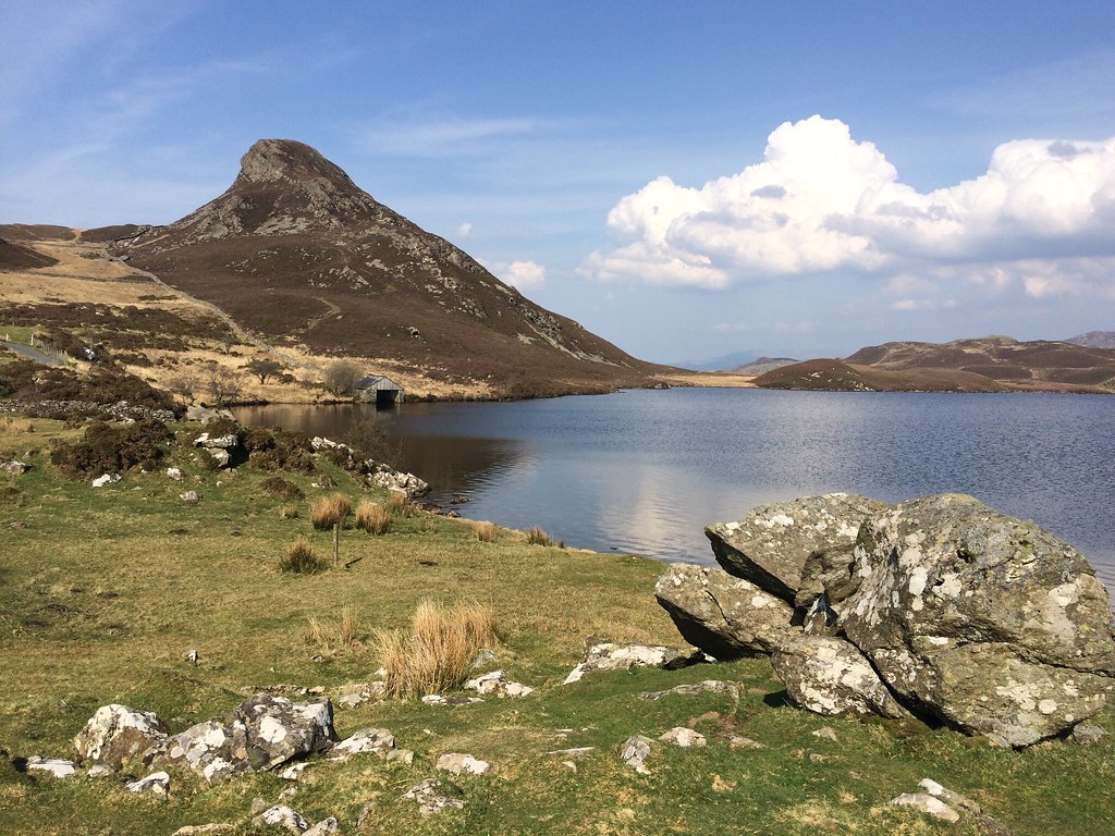 Pared y Cefn Hir and Llynnau Cregennen
 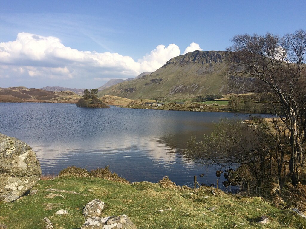 Craig Las and Llynnau Cregennen
 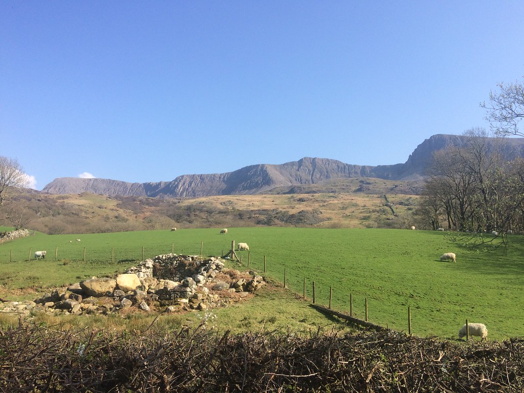 Cadair Idris from Tyddyn Mawr
 The promised rain didn't roll in until late on Saturday evening, but it continued throughout Sunday morning, making us disinclined to get moving again. A bottomless supply of red wine the previous evening hadn't helped either

. In the end, the Scottish contingent (who actually had to drive back to Nairn after the cycle) opted to leave their van in Barmouth and do the short cycle from our accommodation to it. We did this in drizzly grey weather with the clouds down - quite a contrast to yesterday, but not unpleasant for cycling in. I was loaded up for the remainder of my holiday, and definitely noticed everyone else speeding ahead today while I wobbled along with my full panniers. At Barmouth, I decided to leave the remainder of the group to finish the loop while I followed on behind at my own pace, stopping for lunch in Harlech and then breaking off north to Porthmadog.
The mist had lowered right down to sea level as I headed up the coast, otherwise I would have been tempted to follow the backroads in the foothills of the Rhinogs. I had arranged to meet my mum and dad for dinner in Beddgelert at 6:30pm, which gave me plenty of time to fill, so I decided to make a detour to Moel-y-Gest for a quick bit of bagging. A steep hill out of Porthmadog led me to a gate on the side of the road beneath Moel-y-Gest, where there is a llama farm. The sky was already brightening - this could be a good idea!
 Day 2 bike
 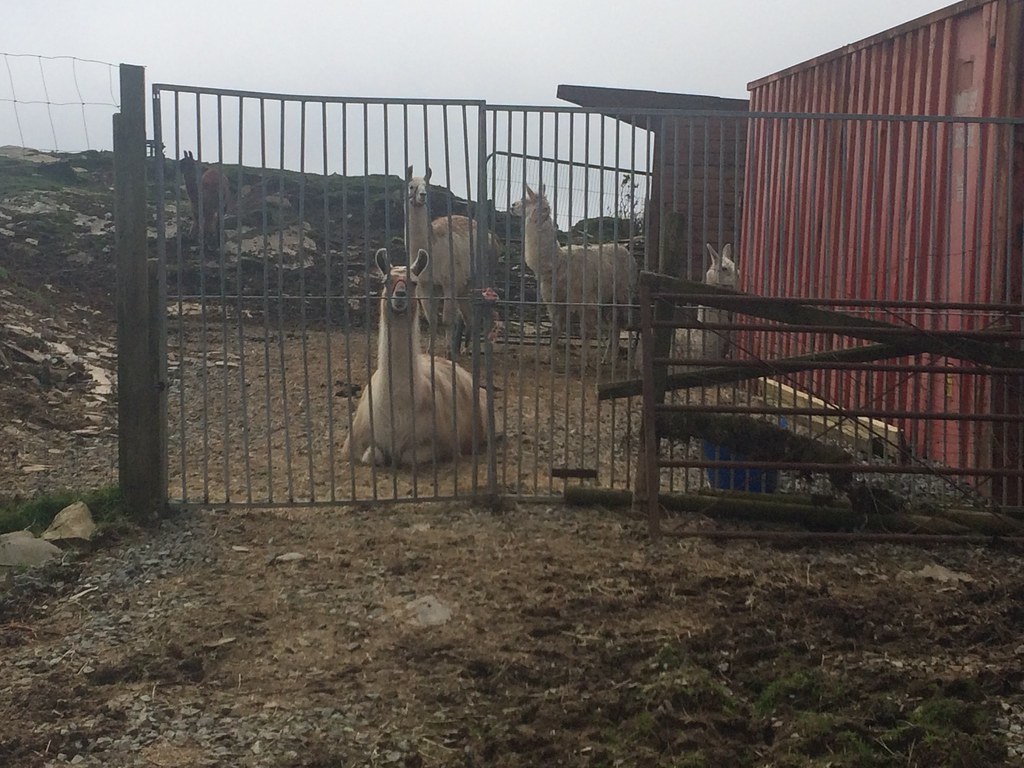 At the Llama farm
 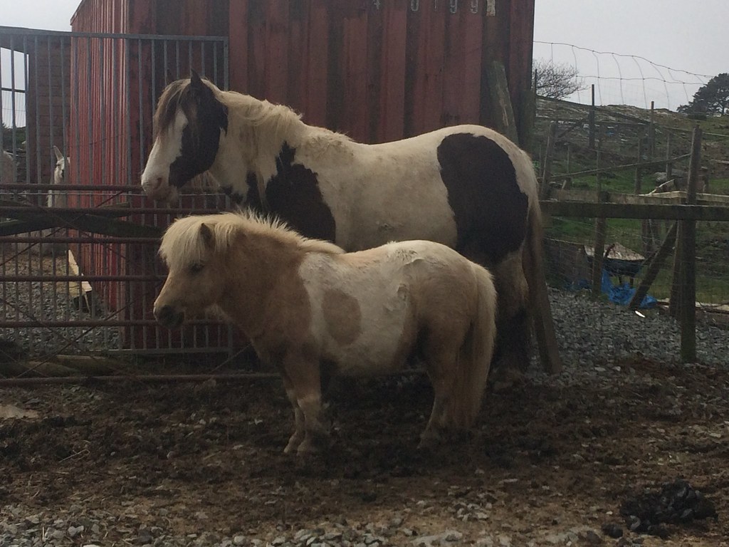 Ponies
 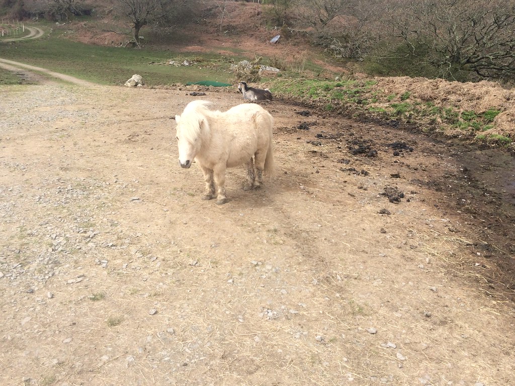 Shetland pony
 A public footpath led easily across a low shoulder to the SW of the summit, from where I took a steep slope next to a drystone wall. This was straightforward enough, but I knew that Moel-y-Gest had some reasonably large crags for its lowly height, so was a little wary in the mist. However I soon emerged at the trig point after dodging a couple of crags. So far, so unimpressive, but there was the promise of a clearing.
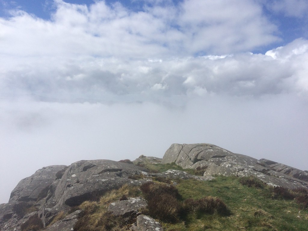 Might clear...
 I spent a good 20 minutes on the summit and got some pretty impressive (if fleeting) views through the cloud. After a bit, I decided that is probably as good as it was going to get, and traversed the rocky ridge towards the eastern summit. For a hill of less than 300m in height, Moel-y-Gest packs a fair punch, both in views and rockiness. However, with the cloud still lingering, I didn't even bother ascending the eastern summit.
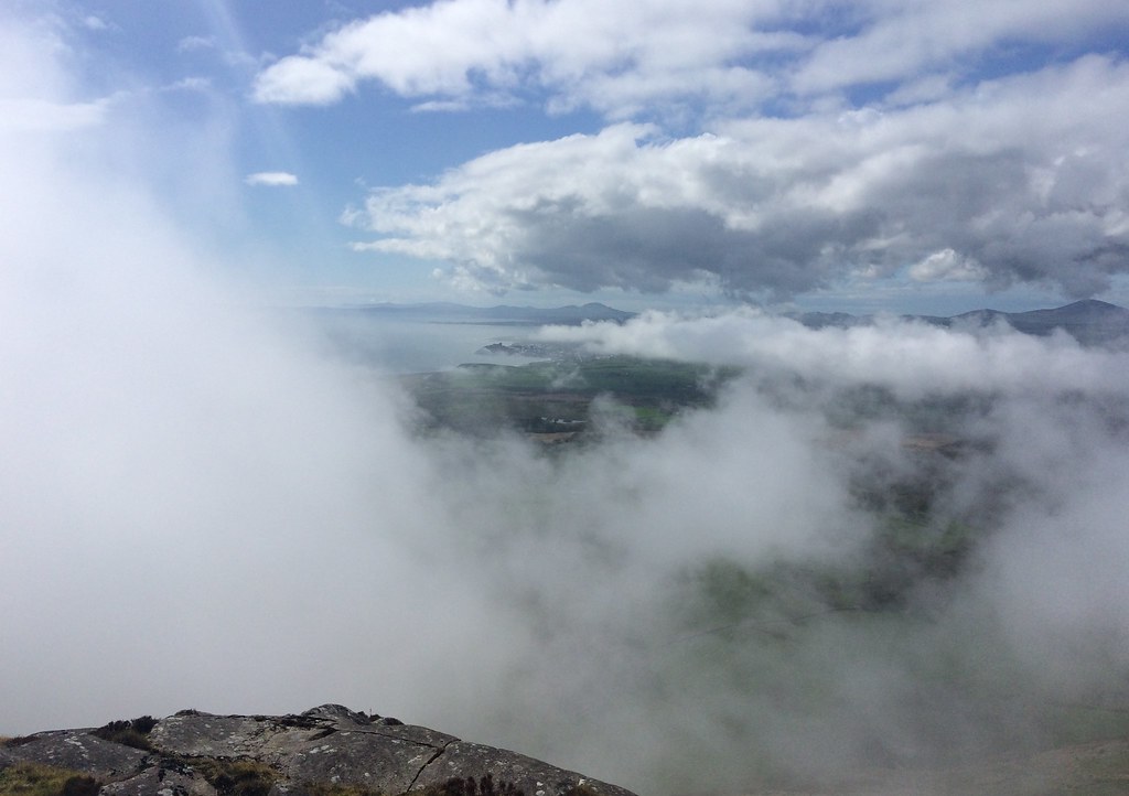 West from Moel-y-Gest
 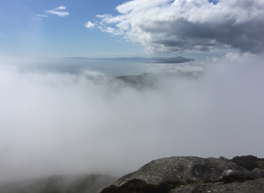 Lleyn Peninsula from Moel-y-Gest
 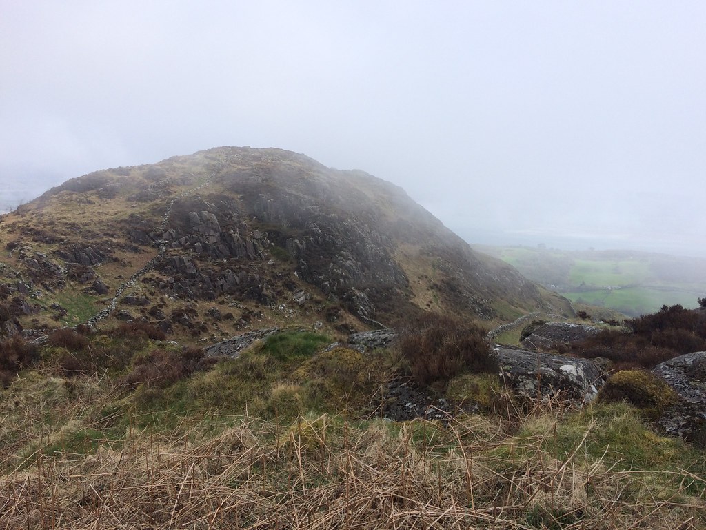 East summit of Moel-y-Gest
 10 minutes later, it cleared completely

. I should probably have gone back up again, but I was wary of leaving all my stuff in my panniers on my bike for too long, so climbed the low shoulder to the SW instead. Although the views were inferior, they gave a pretty good idea of how the Lleyn Peninsula looks from the summit -ie brilliant

.
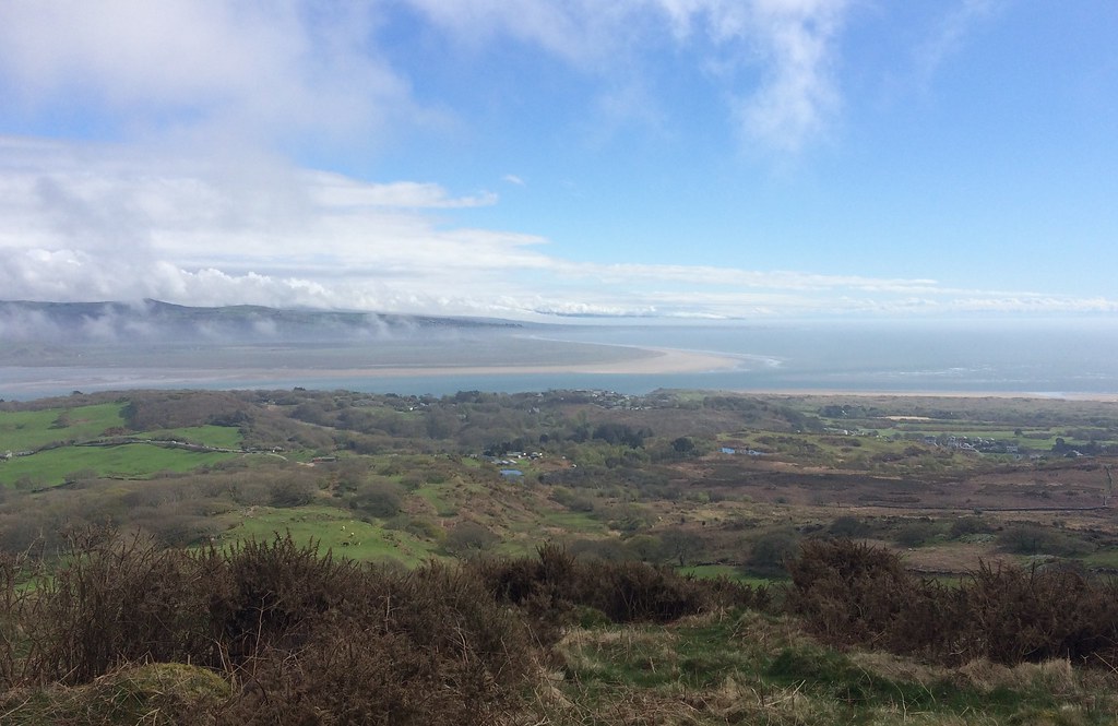 Morfa Harlech
 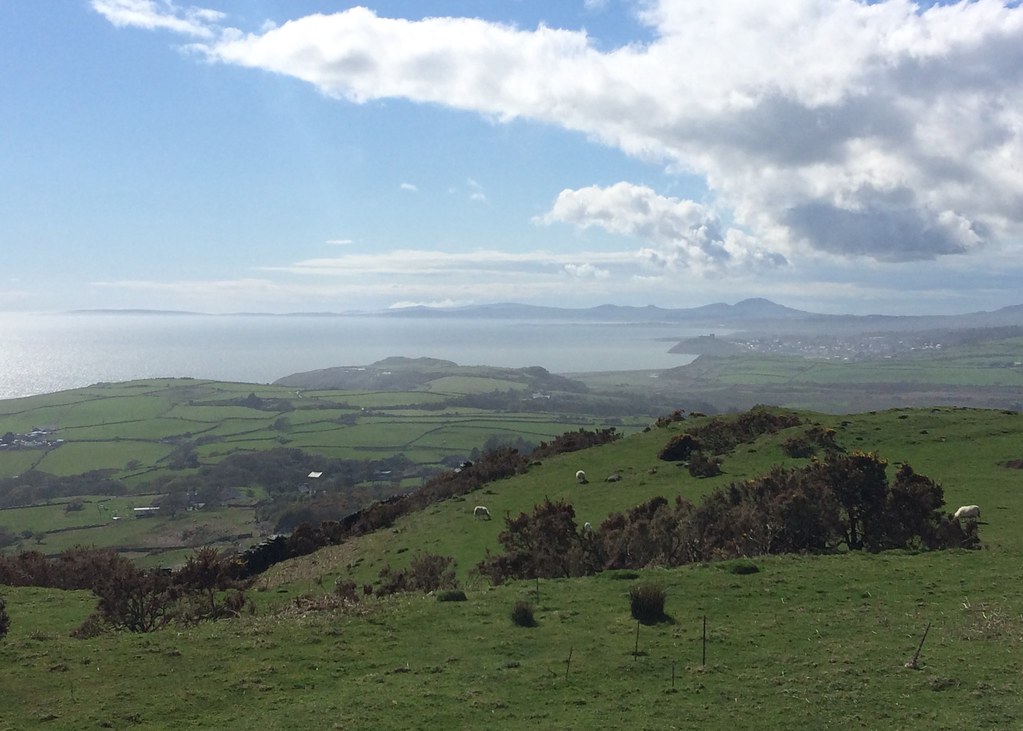 Lleyn Peninsula
 Back at the bike, I decided to continue circling Moel-y-Gest, and visited Black Rock Sands, where I've never been before. This was immediately recognisable as the location for the cover shot of the Manic Street Preachers 'This Is My Truth, Tell Me Yours' album. Nice cover - shame it was mostly a load of bilge, particularly as they were pretty much flawless up to that point

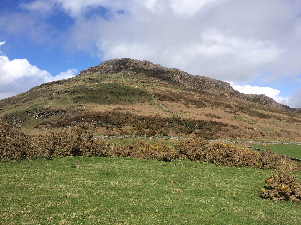 Summit of Moel-y-Gest from below
 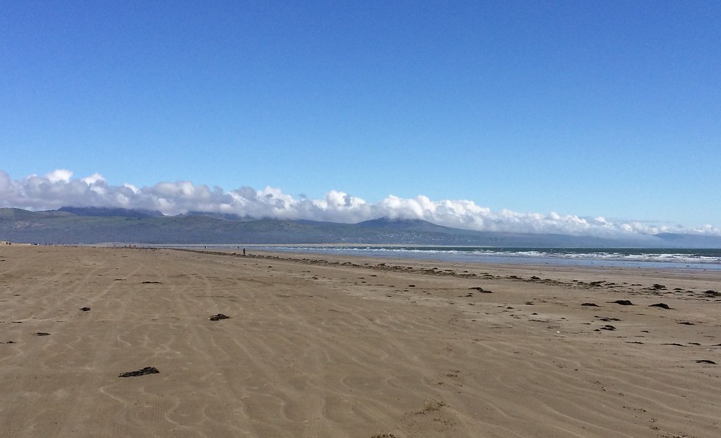 Rhinogs from Black Rock Sands
 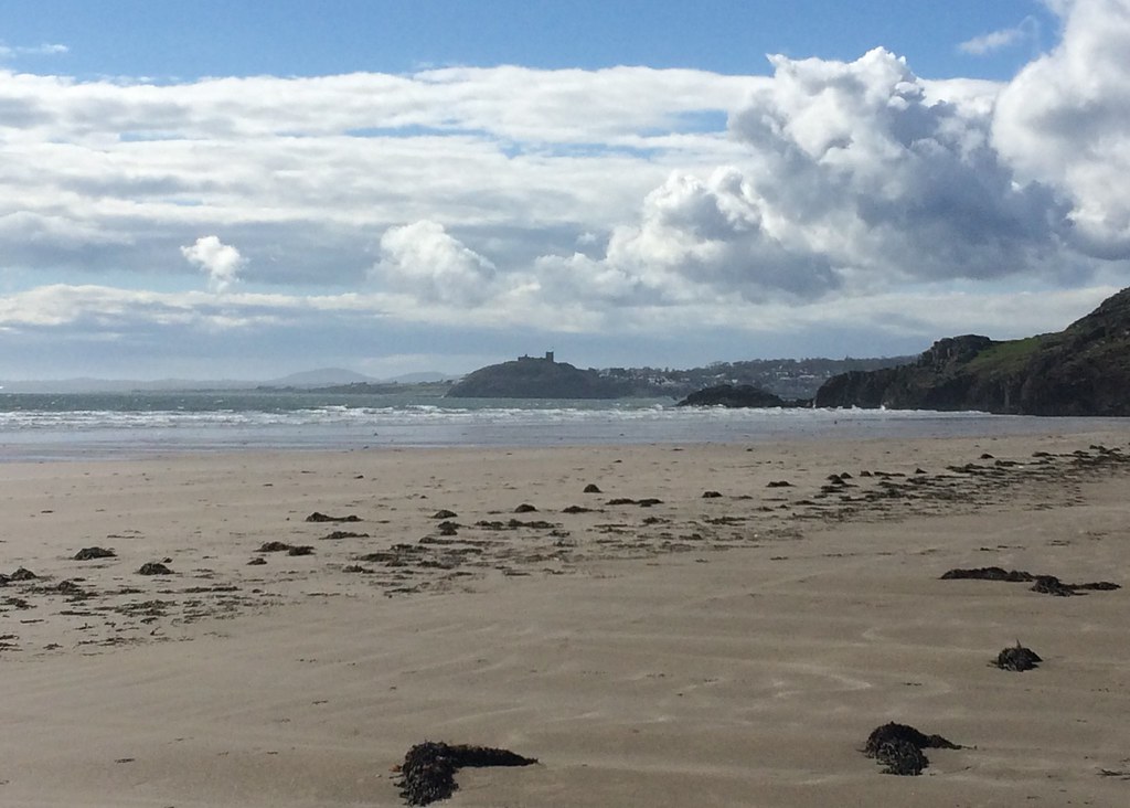 Cricceth Castle
 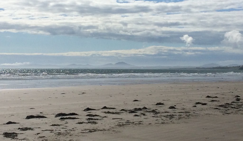 Lleyn Peninsula from Black Rock Sands
 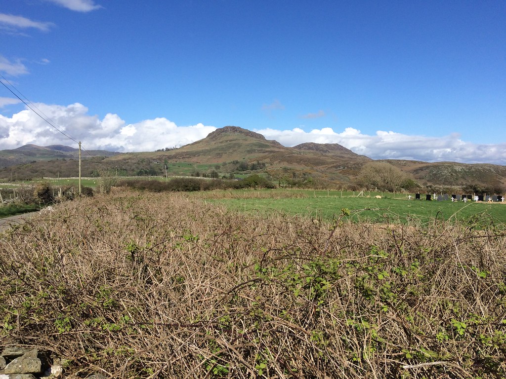 Moel-y-Gest
 Then it was on to Tremadog via a minor road and up the Glaslyn Estuary. The sun was going but it was still a great afternoon, and the last section through the Aberglaslyn Pass is one of the most spectacular low roads in the country.
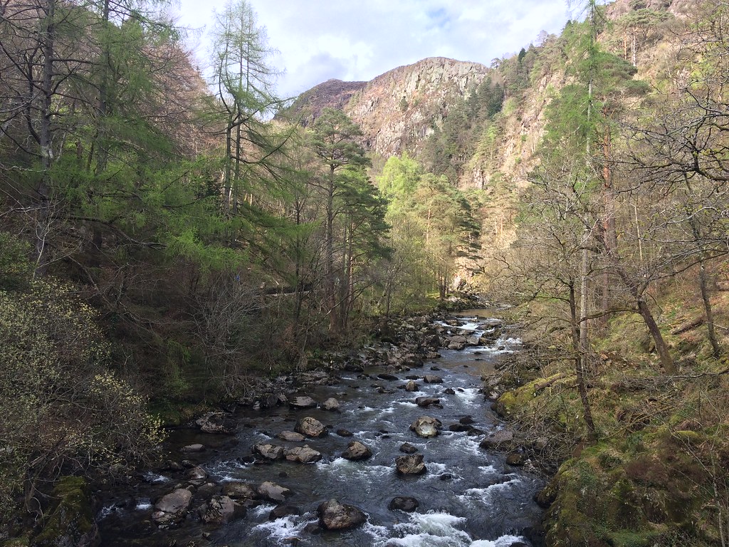 Aberglaslyn Pass
 I was over an hour early in Beddgelert and my parents were almost an hour late, so I whiled away the time with a couple of pints. I would have cycled all the way home but some chancer had stolen the lights off my bike on the train down, which was annoying.
When I have to pick a favourite between Snowdonia and the Lake District, I always go for Snowdonia - but I'm obviously biased. This weekend I think anyone would've picked Snowdonia
.
