
Rain on Wednesday,sun, shorts and suntan lotion Saturday.
As Chris and I met up for his last walk for this month, today - Saturday - was a great contrast to our last walk 3 days earlier when we were both lucky not to contract trench foot. Whereas that day was wet, foggy, windy and cold today was a scorcher, a reminder that extra fluid would be required to see us through this day on the fells that would take us to some more of Chris's unclimbed summits of the Far Eastern Fells.
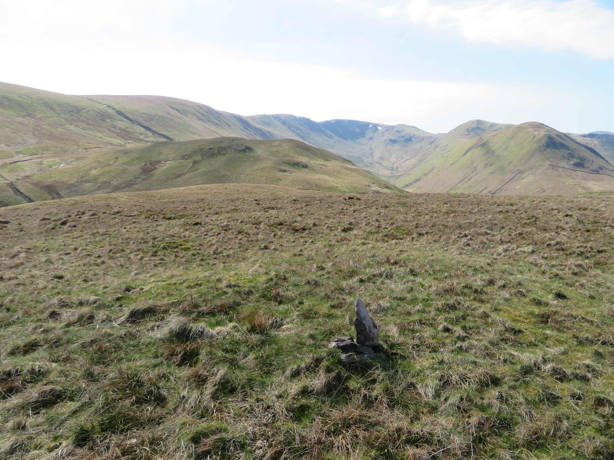
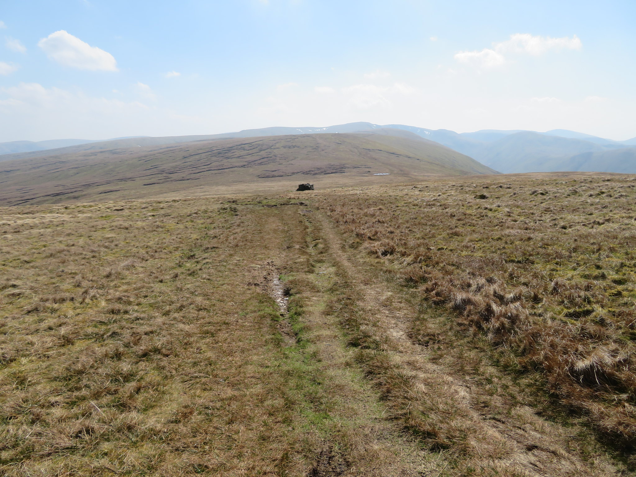
This was Wednesday.
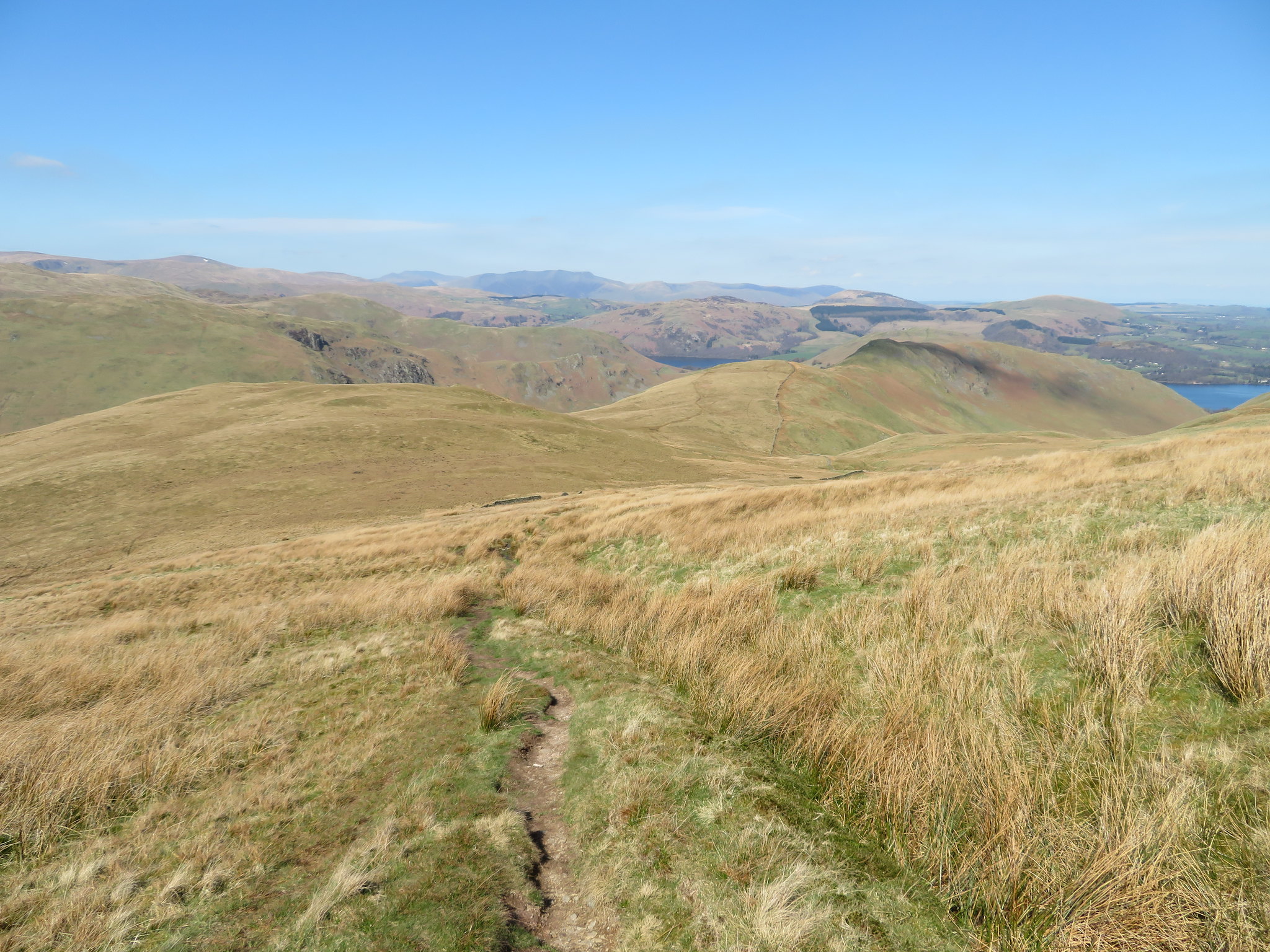
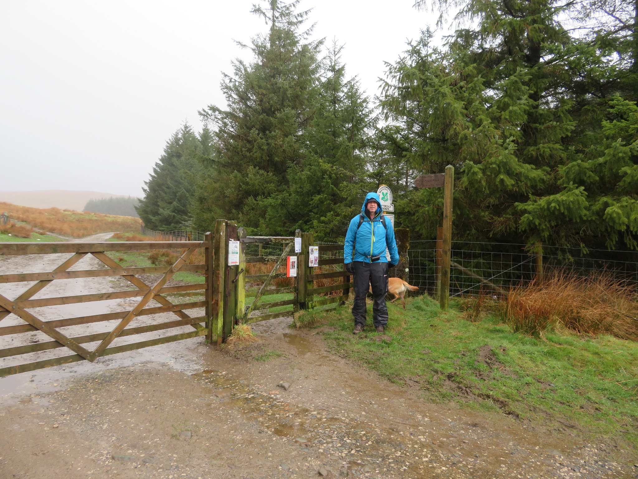 Start of the walk at High Row above Dockray
 And this was Saturday.
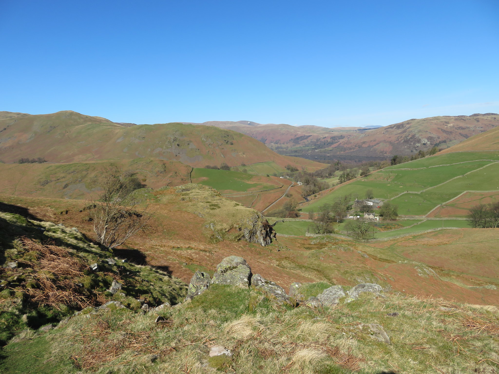
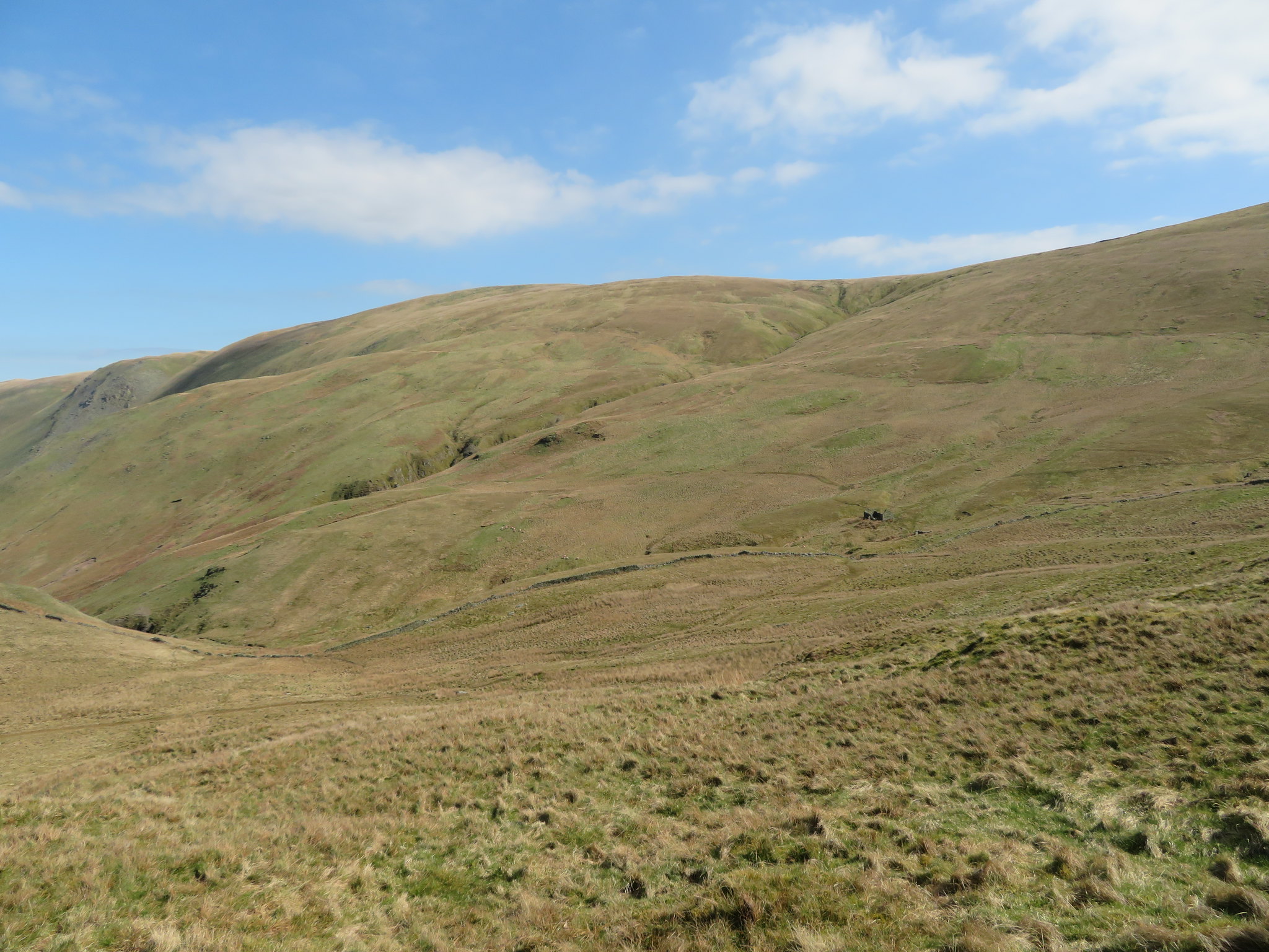
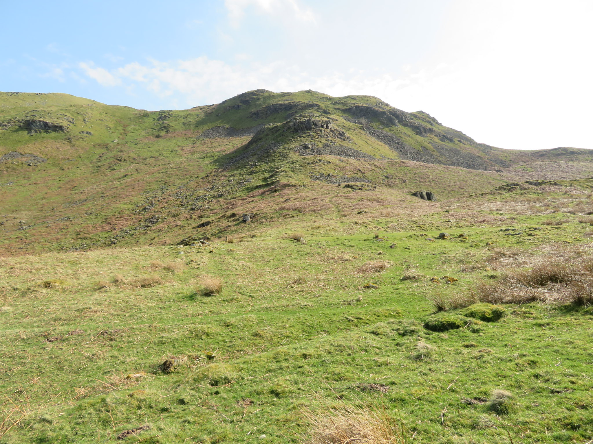
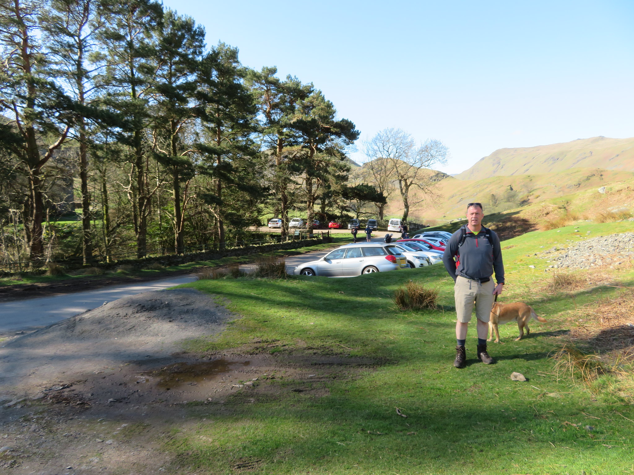 Start of the walk from below Hallin Fell
A fairly late start found us at the small car parking areas at the foot of Hallin Fell with not only this one full but also the one adjacent to the church. We managed to park on a small patch of fairly level ground that is near the brow of the hill and then watched the many other walkers setting off in all directions as we got bagged and booted. It looked like quite a few people had come to this spot just for a browse about, a lazy few hours in the sun with the feel of the mountains around them. Whatever their intentions it's a glorious day to be doing it. Unlike last Wednesday there was no reason to rush off because of the inclement weather, the cold rain, fog and wind, today's start was to be more leisurely as Chris fortified himself on an extremely good looking and aromatic smelling savoury pie.
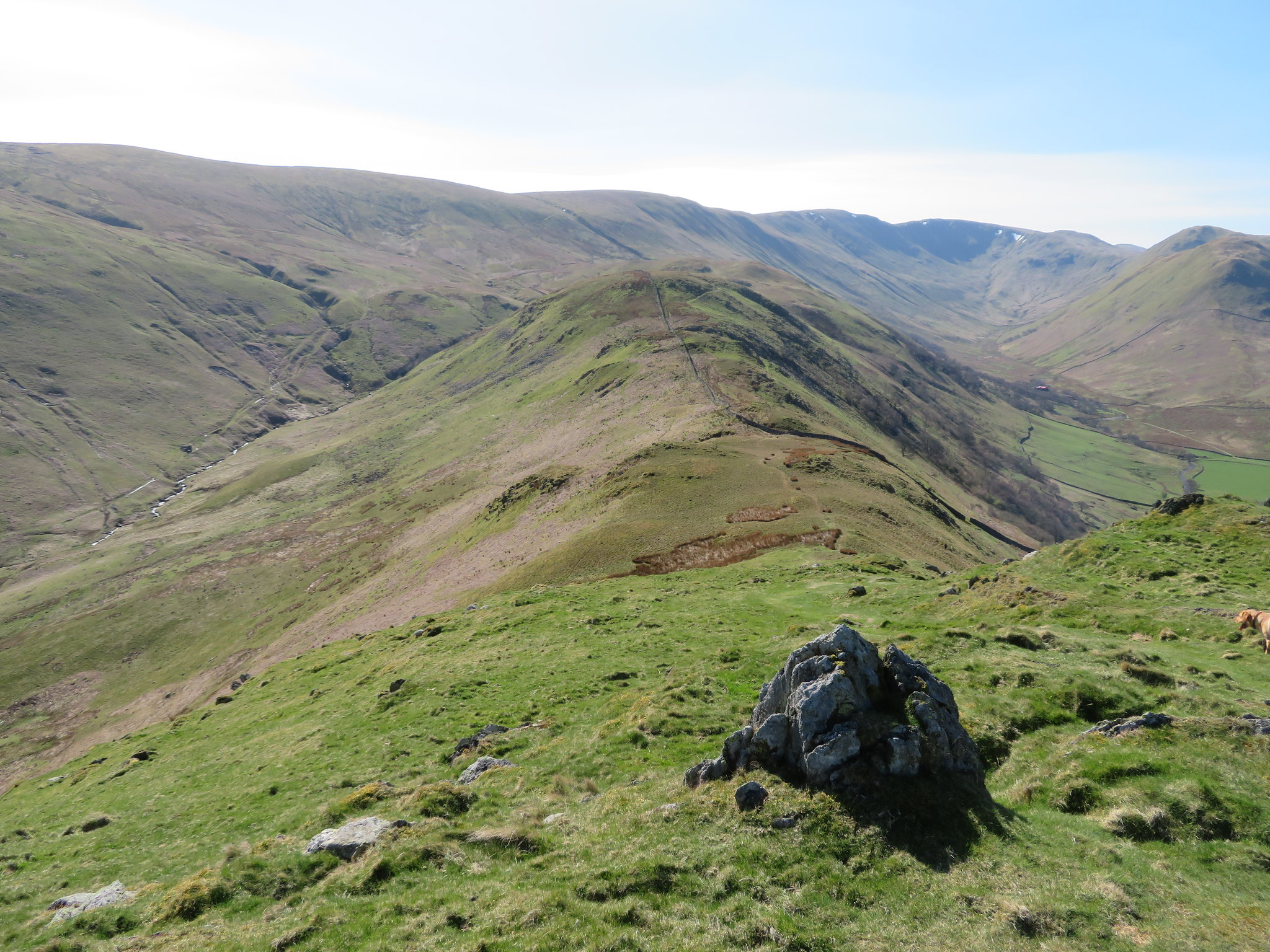
As we lingered in the warm sunshine we could see our way before us to the south as it climbed the short but steep and craggy face of Birkie Knott…
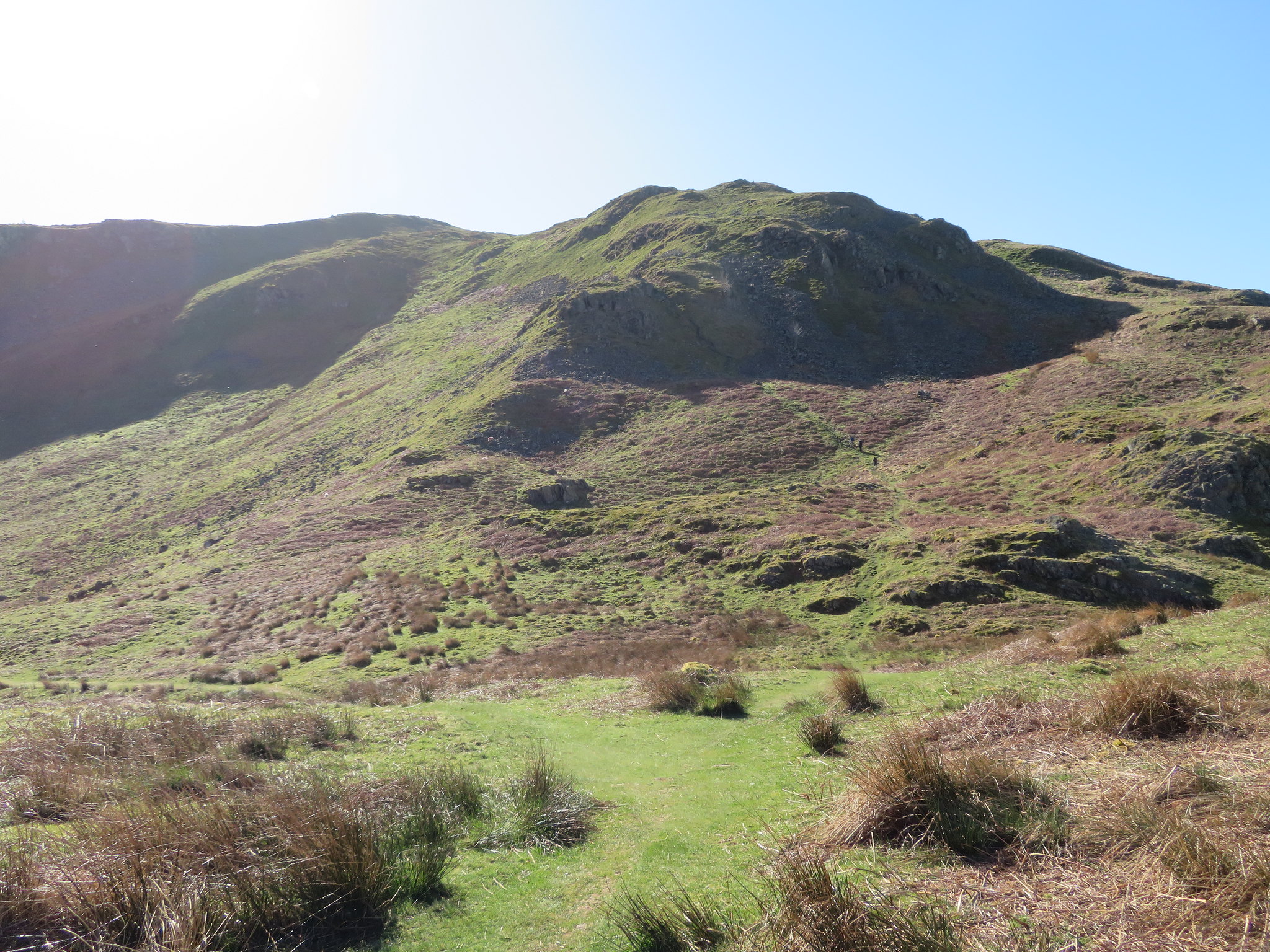 The approach to Birkie Knott
 before the path eased out to more amenable ground as it meandered around and up and over the various small humps and hillocks of the grass covered fell that is broken only by small up thrusts of black and grey rocky knolls. Stopping just below the summit of Birkie Knott revealed a great view of Hallin Fell with its wide green tracks spidering across its flanks, St Martin's Church sat below it looking quite small against the bulk of the fell.
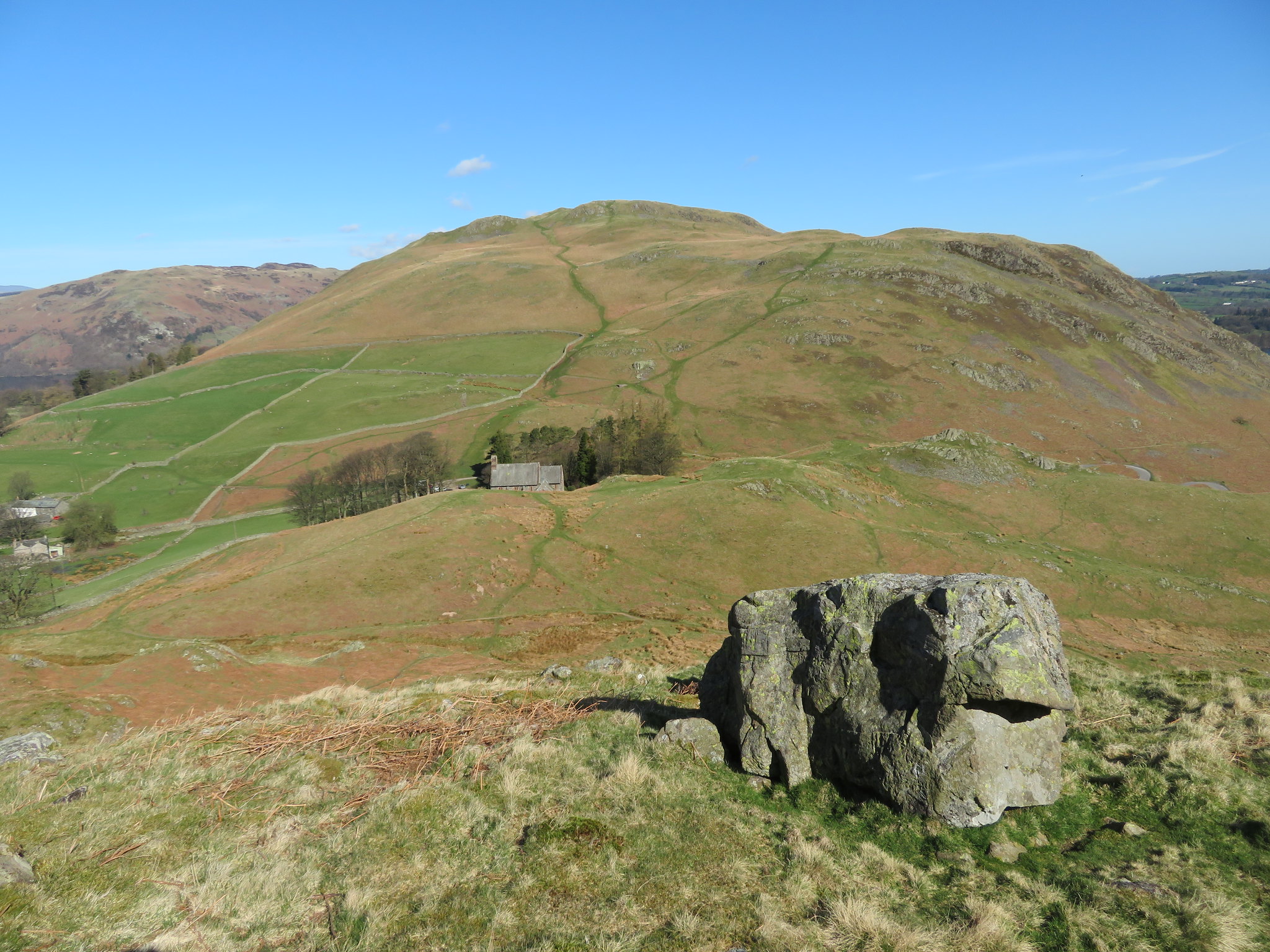 St Martins Church below Hallin Fell
From the same spot a glance over to the west exposed a view of a far distant ridge of mountains sat behind the northern ends of Beda Fell and Place Fell with its subsidiary summits of Sleet Fell and High Dodd, the pastures looking a bright green against the brown of the dead bracken, a bracken that is once again beginning to show itself through the dead of last year's growth.
 Sleet Fell and High Dodd behind the start of the Beda Fell Ridge
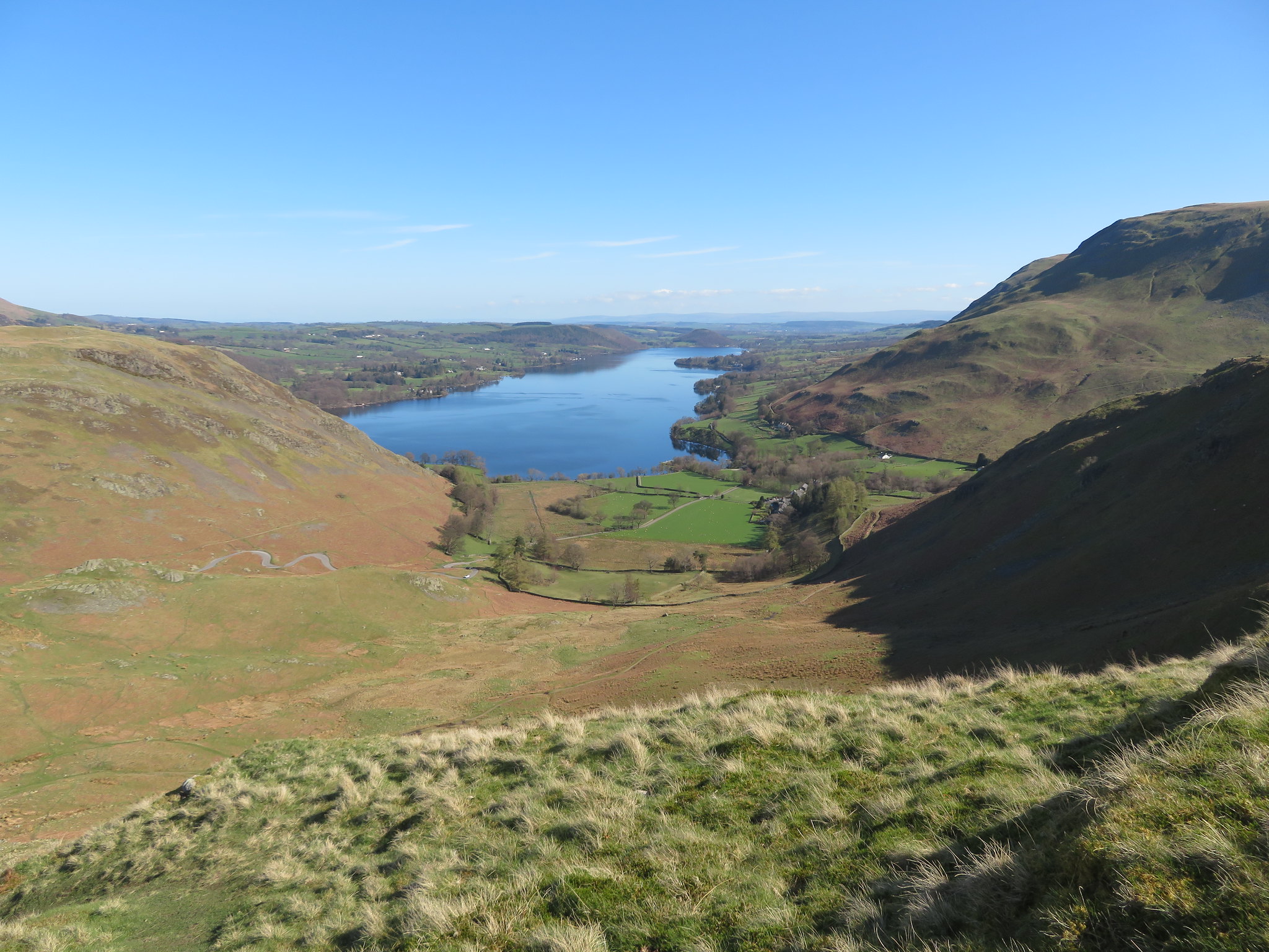
 Just a few minutes later and we were stood on the top of Birkie Knott with magnificent views all around, especially so to the north where Ullswater reflected the deep blue of the sky perfectly. Howtown fronted by green fields and sitting below Steel End as though guarding the entrance to Fusedale is also backed up by the massive fell that not only has the High Street Roman Road to its name but also includes five of the Wainwright's along its length and also gives easy access to the fells and mountains that encircle Fusedale and Martindale.
 North end of Ullswater with Brock Crag and Swarth Fell to the right
All this before we even get to Steel Knotts or Pikeawassa as it is also known but as we continued south the valleys and mountains opened up before us.
 South towards Steel Knotts - The Nab - Wether Hill - Red Crag etc
 The easy walking along this undulating ridge soon had us at Steel Knotts summit of grey and vertical pointing rocks…
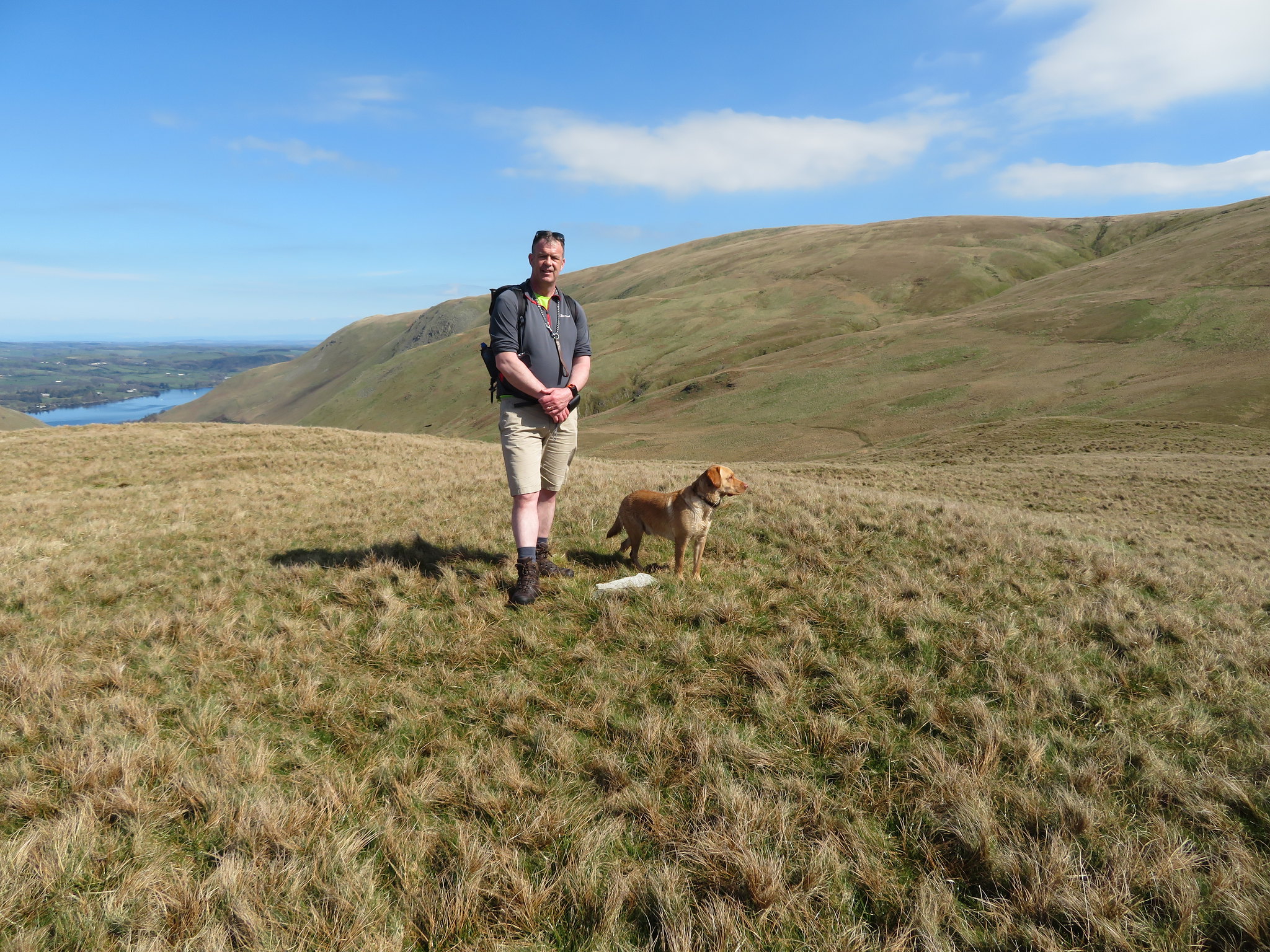
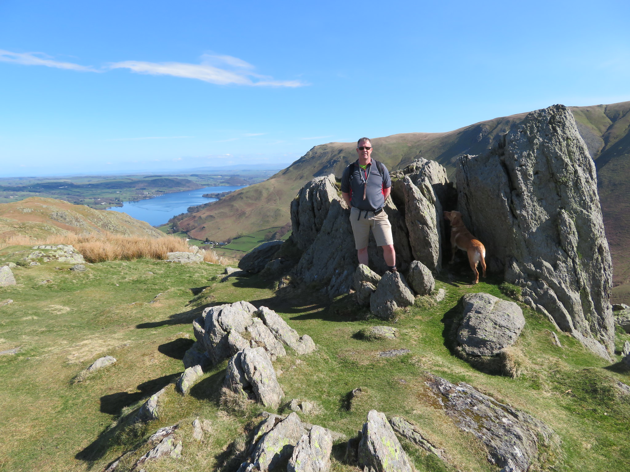 Man and dog at Pikeawassa
 from where we could not only see our way forwards but mountains in all directions from Bonscale Pike, Loadpot Hill, Wether Hill, to the east of us across Fusedale with Rampsgill Head, The Nab, High Raise, Rest Dodd to the south. Looking north to west there is Blencathra, both the Mells, Carrock Fell, Skiddaw, the Hartsop Dodds and many more. We were blessed with a beautiful day to be able to see all this around us. This is a fine ridge running between two valleys. From Pikeawassa we could also see our way forward, the long ridge with its wall running along its spine, both rising and falling as the ground demands with the elevation increasing with every hump until the summit of Brownthwaite Crag, the highest point on the ridge is reached. Looking into the valleys of Fusedale and Martindale a marked difference can be seen between the two as Martindale has pastures green whilst Fusedale has acres of rough grass and rushes.
 A view along the ridge to Brownthwaite Crag and Rampsgill Head
 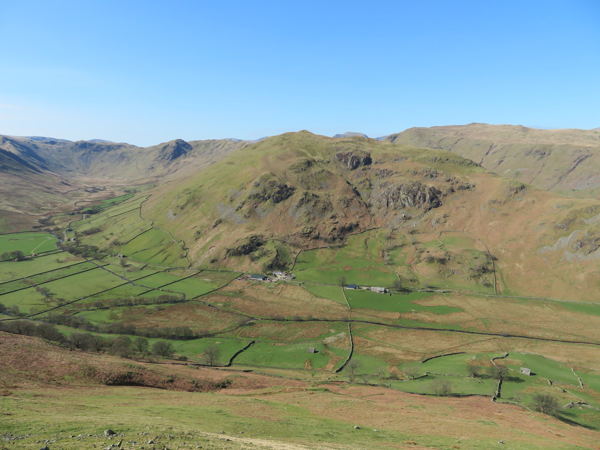 Beda Fell - Place Fell - Heck Crag - Satura Crag
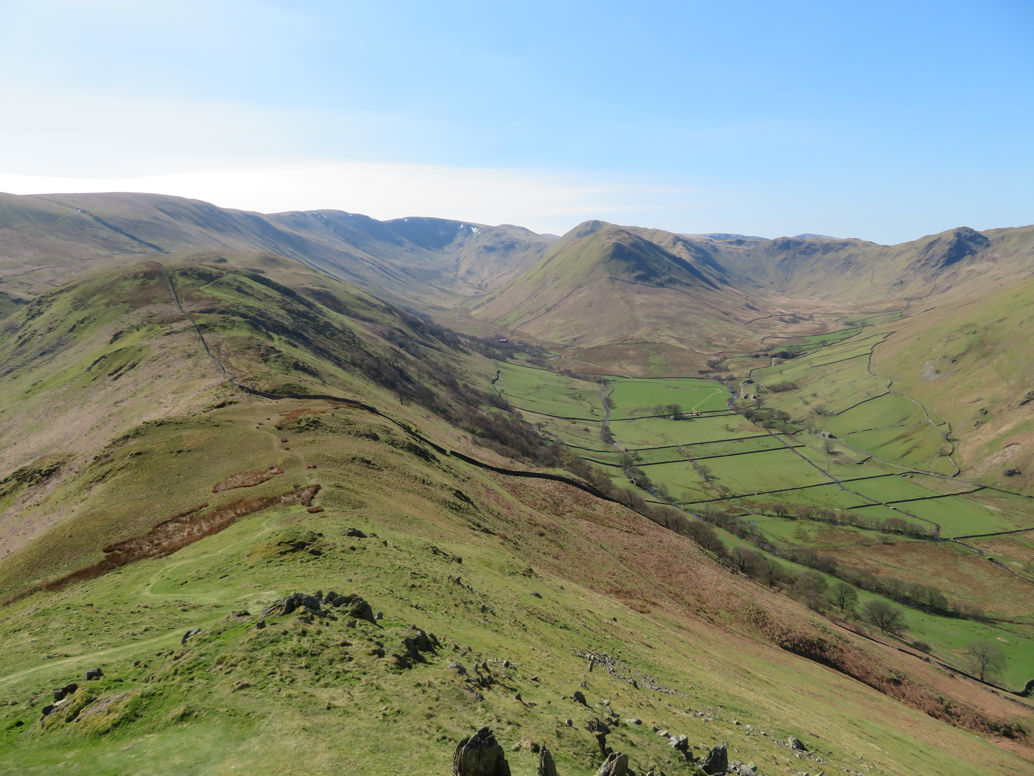 The Nab at the head of Martindale
 The path is good and easy to follow as we left Steel Knotts to meet up with the wall at the point where it arrives on the ridge from the valley below. There is just one fairly steep downward slope that was a bit greasy and with the bracken being down it was an easy walk to Brownthwaite Crag although when the bracken is at full height this way can be a nightmare as fighting through the tall green fronds is damned hard work and if early enough before the dew has lifted also a very wet one.
From one of the hollows along the ridge a look back showed us the green side of Steel Knotts.
 Looking back to Pikeawassa
 A short climb from the hollow soon had us on to the summit of Brownthwaite Crag, another Birkett for Chris.
 Rampsgill Head - Rest Dodd and Gowk Hill from Brownthwaite Crag summit
 We were now going to climb the easy slopes of Gowk Hill that at 469 metres in height is 37 metres higher than Steel Knotts. Once again the walking from Brownthwaite Crag is as easy as the rest of the walk has been so far with the path stretched out before us across a sea of light brownish coloured grass. The path actually runs on to an old stone structure that was quite a substantial building in its time and could have been either a shooting lodge or an old shepherds cottage as there are the remains of an enclosure at the back of it and is ideally placed just below the head of Fusedale Beck for a supply of water. We left the path at a convenient point to make our way up the grassy north slopes of Gowk Hill by simply taking the easiest contours at hand.
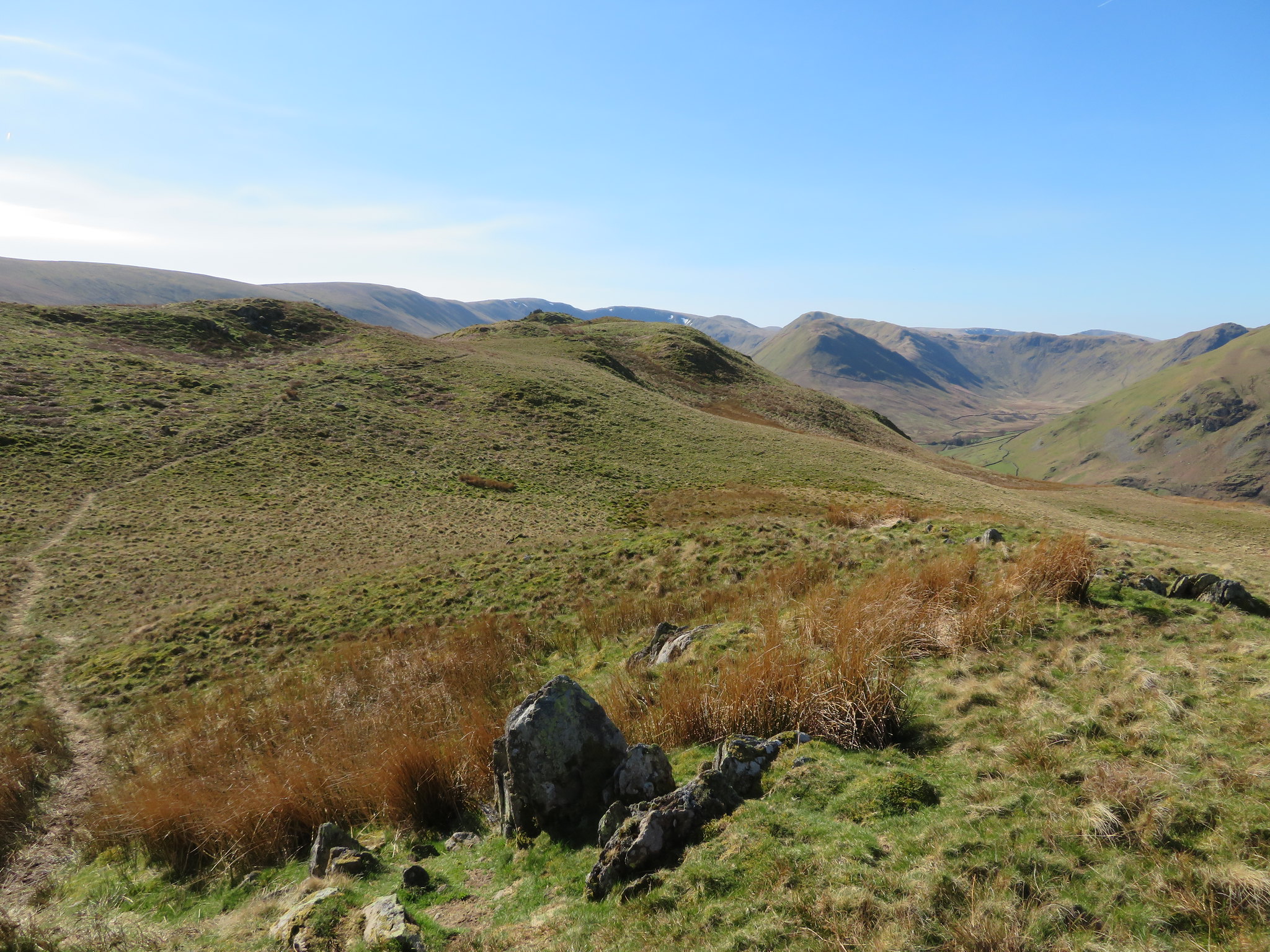
 Looking up to Loadpot Hill
 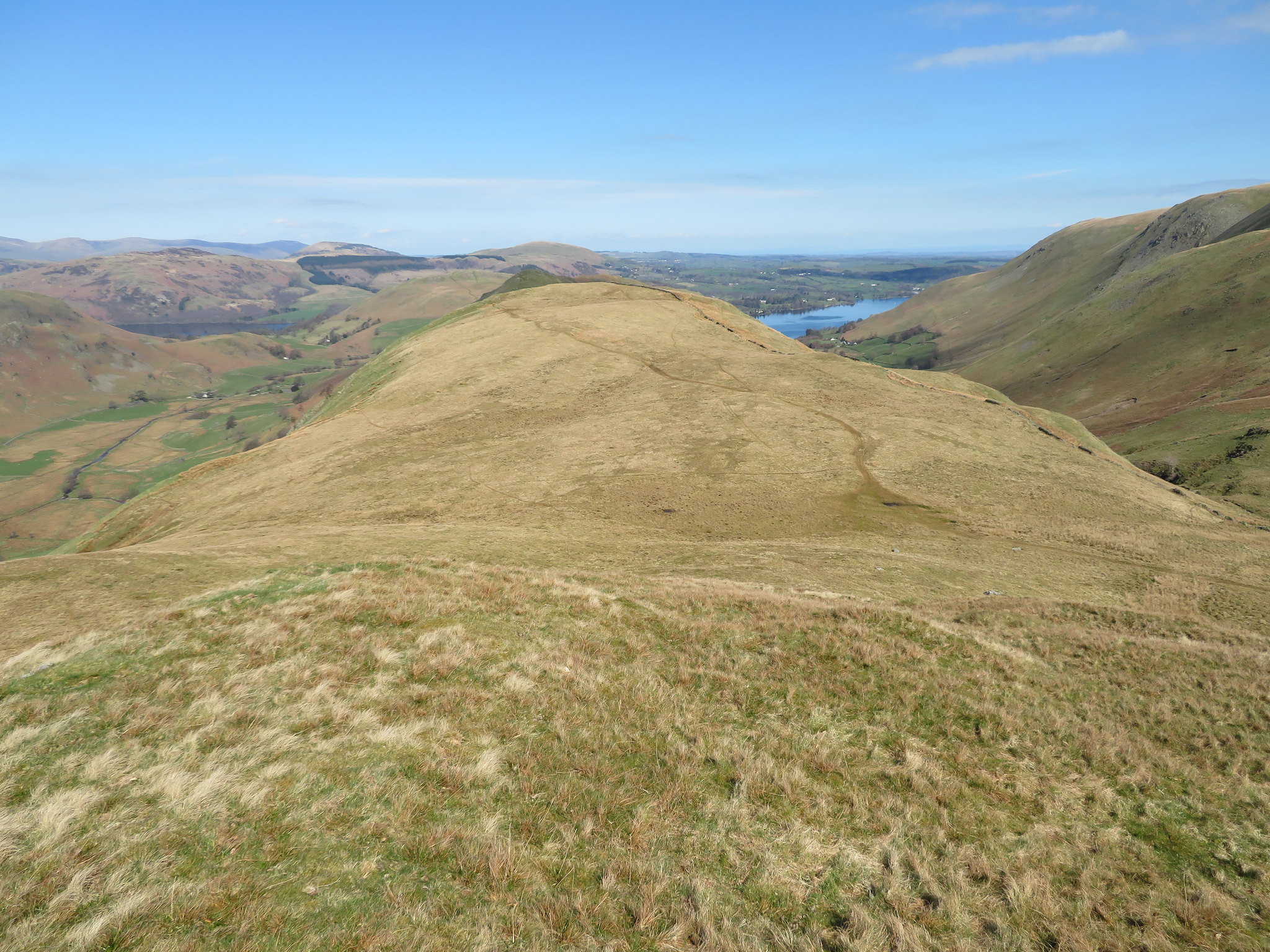 Looking back over Brownthwaite Crag from Gowk Hill
 Gowk Hill is nothing more than a large grass covered hill but is, nevertheless, a Birkett.
 Gowk Hill summit
 The views were no different than the previous ones so after a swift drink we set off across pathless ground roughly to the east where we picked up the main path by a drystone wall where we decided to have a proper break before tackling the fairly long climb ahead of us under the baking sun. As it's a Saturday and a great one at that it's not surprising that there are so many people about as we see them scattered all over the fells, walkers of all ages many of whom had also taken their dogs for a day out.
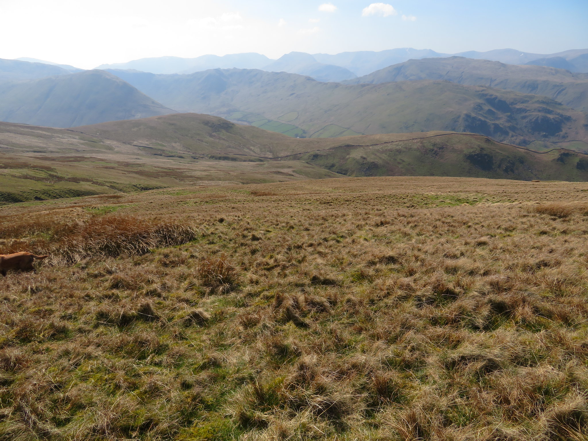
The next part of the journey took us along a fairly steep but good path, a path that looks like it could have been a track in days gone by. In fact a few years ago it looked more like a track than it does now as over the years it has washed out in places where it is boggy and full of rushes. Despite the heat and gradient we made good time and were soon about halfway up from where a look back gave a good view towards the Northern Fells and the ridge we had just walked along.
 Leaving what we have climbed behind
We continued onwards until reaching the main ridge - Roman Road - path from where we had around 60 metres of a climb up to Red Crag the Birkett that lies between Wether Hill and High Raise. Looking across the nearby fells we could see patches of snow lying in the hollows.
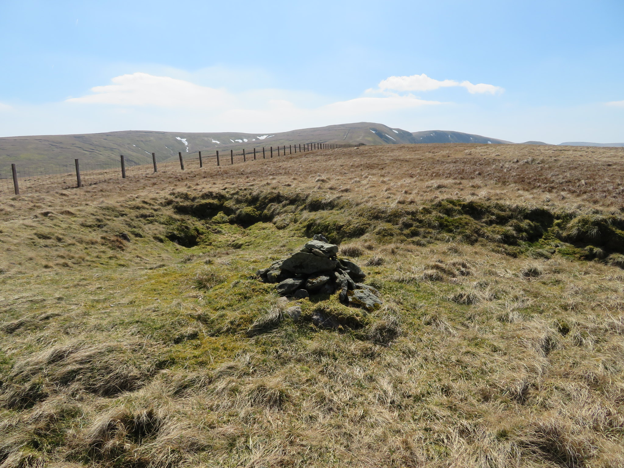
Red Crag is nothing remarkable only playing host to a small cairn of stones and a small tarn.
 High Raise from Red Crag
 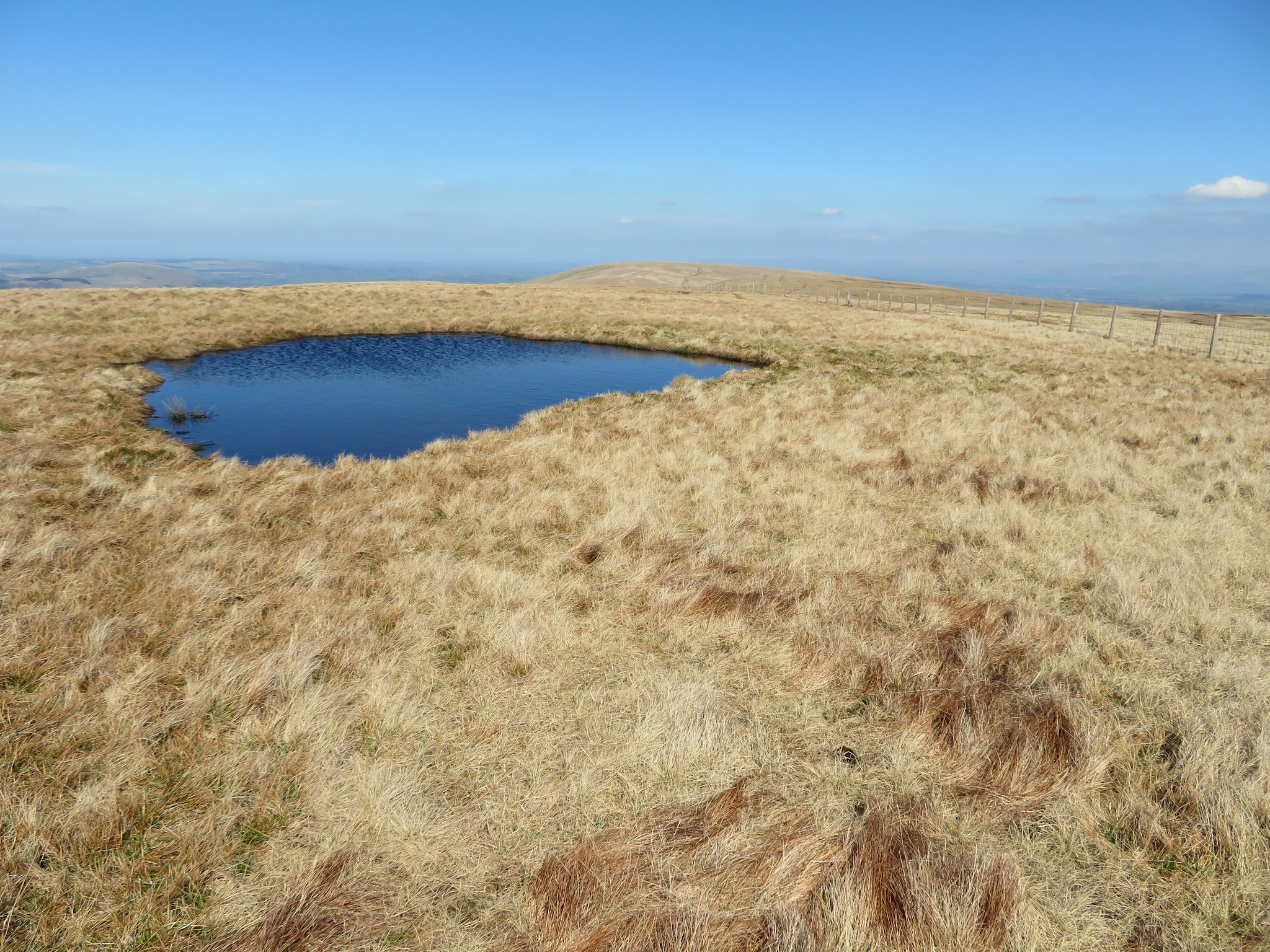 Tarn on Red Crag with Wether Hill on the skyline
 Although a great view of the Northern Fells is to be had from this point.
 Red Crag summit
 Another drink and a dip in the tarn for Sonny soon had us heading back down and now following the old Roman Road all the way back to Wether Hill. The track is wide and cannot be missed as it heads northwards over the great grassy areas of these fells.
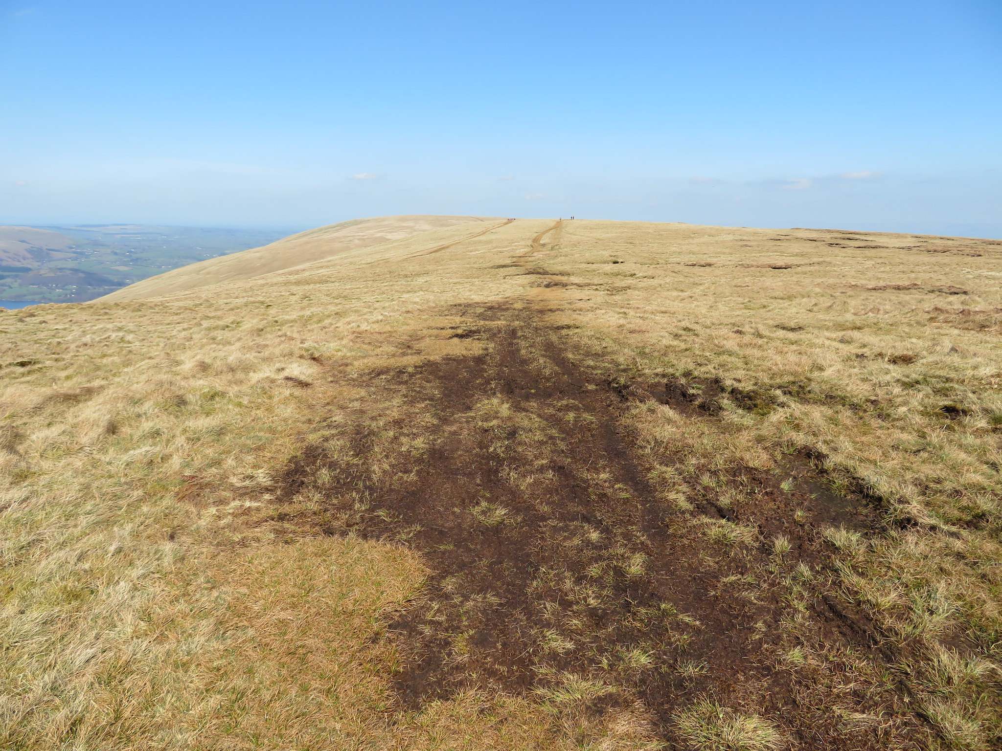 Dual carriageway to Wether Hill top
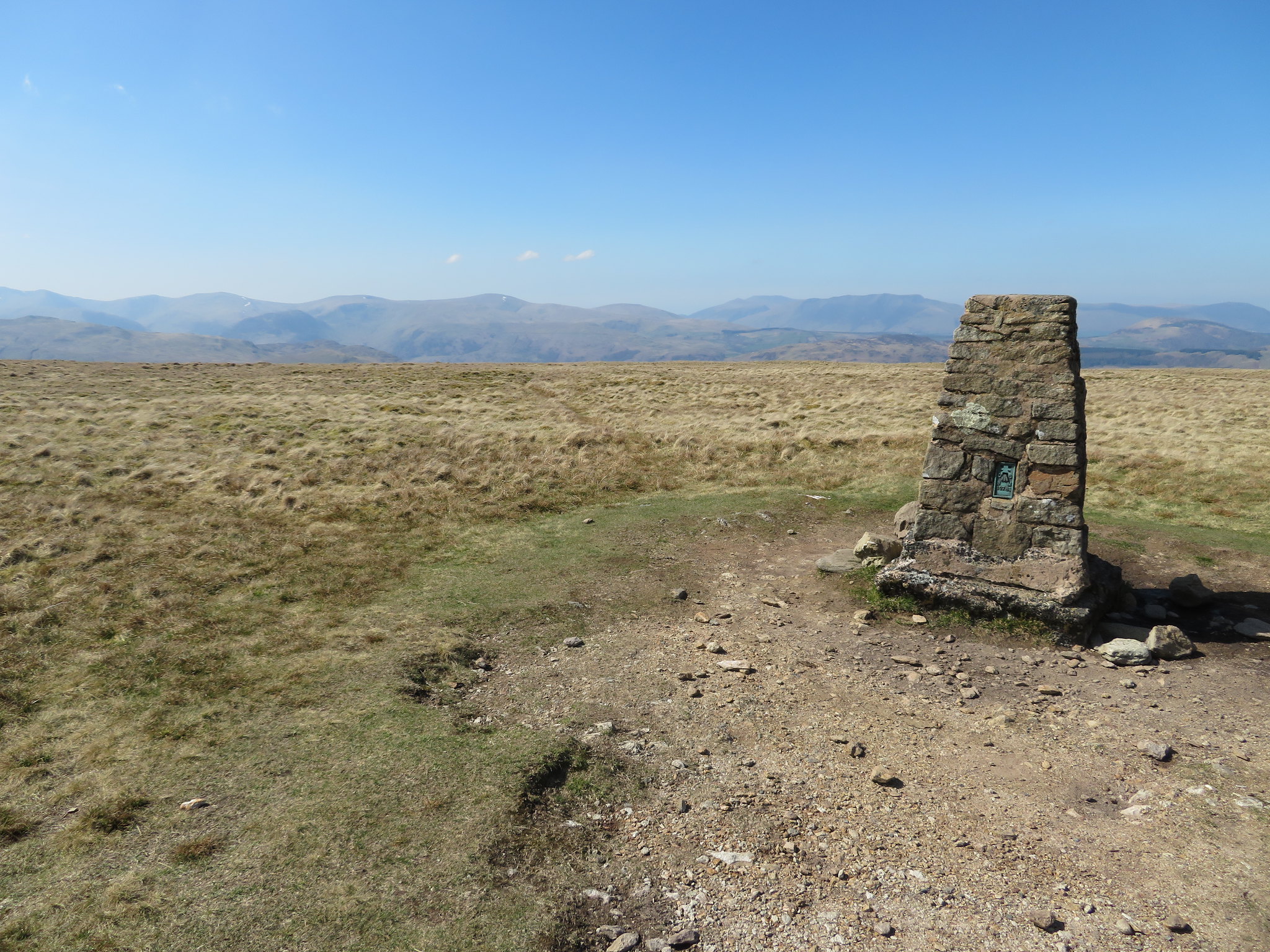
 We crossed over the summit where a number of women were parked up over the cairn so Chris missed his summit photo so sulking a bit he made off in the direction of Loadpot Hill our last top of the day.
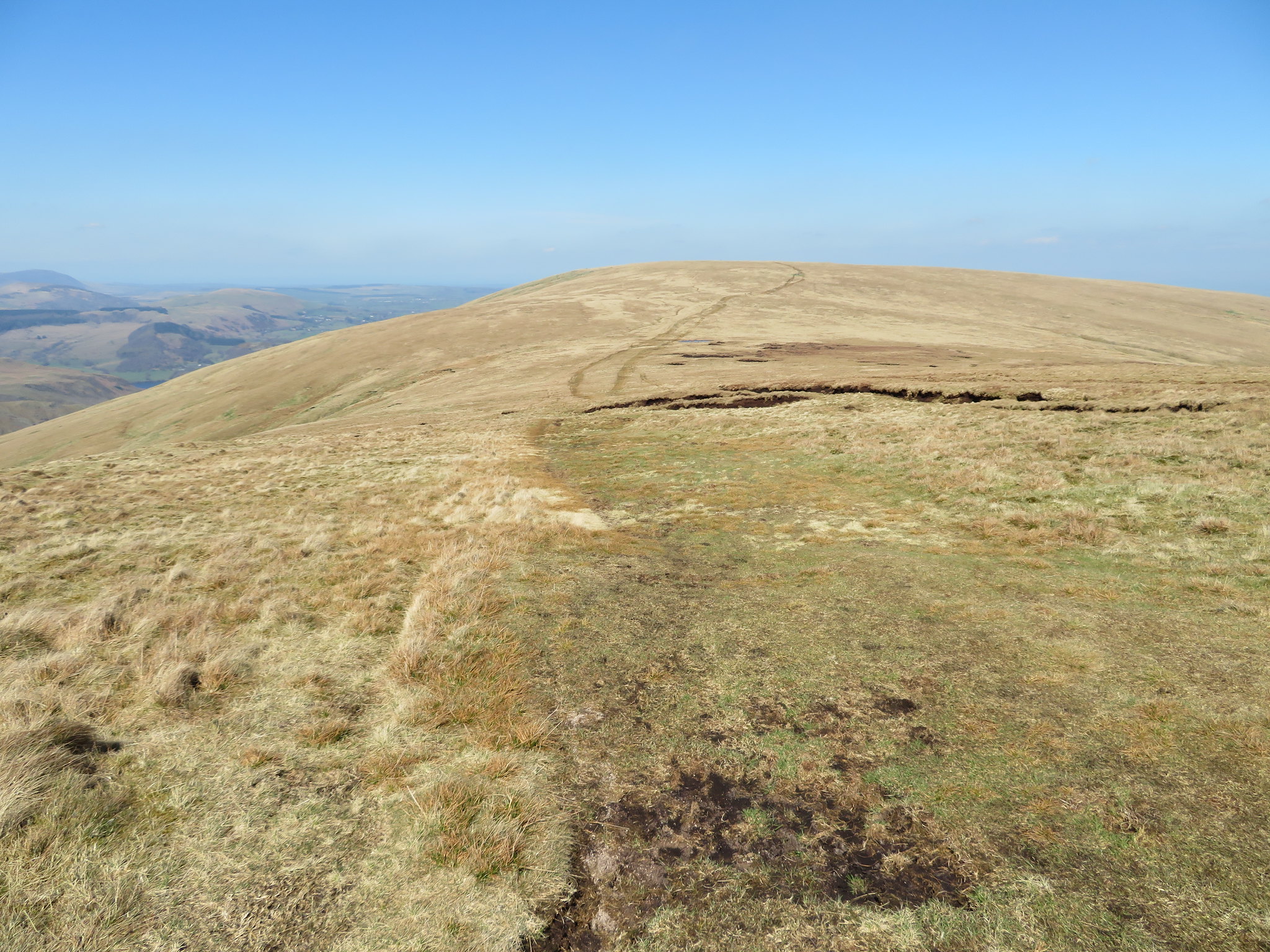 Loadpot Hill from Wether Hill
 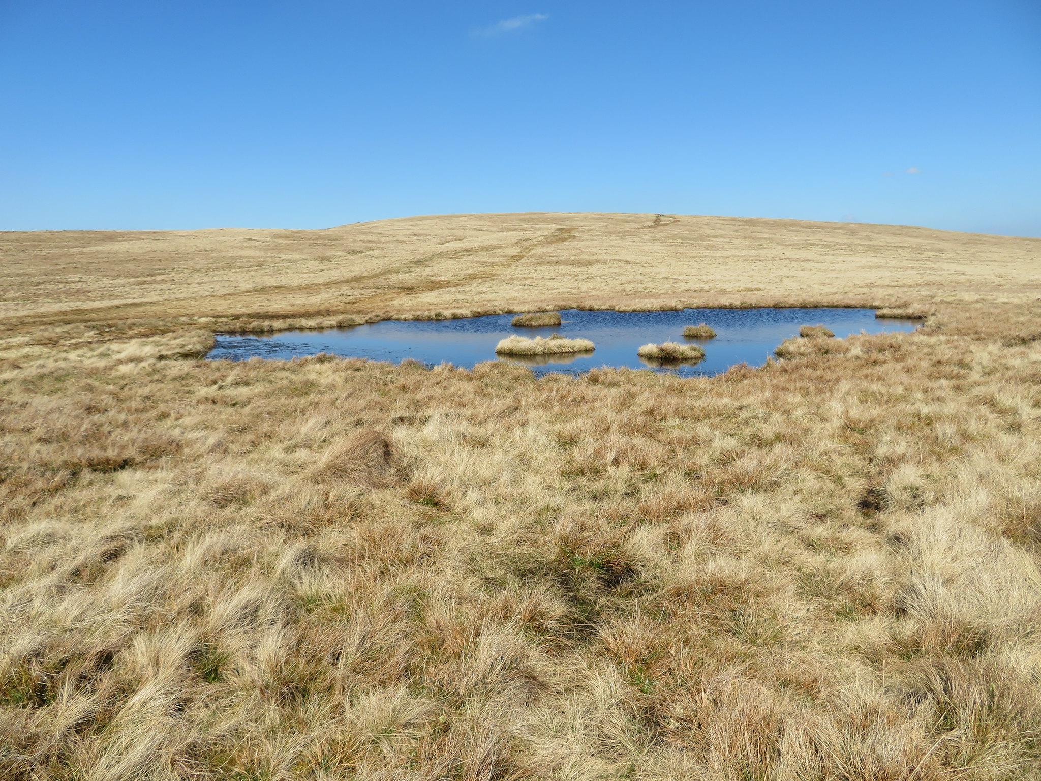 Inviting pool at the foot of Loadpot Hill
 From Wether Hill the same wide track continues north down the north face of Wether Hill, across the more or less level area between the two fells and then a steady gradient up to the top of Loadpot Hill. This is easy walking made all the better due to the superb weather and for those of us who have walked the old Roman Road in its entirety across these Far Eastern Fells the merit can be seen for the Romans choice of routes.
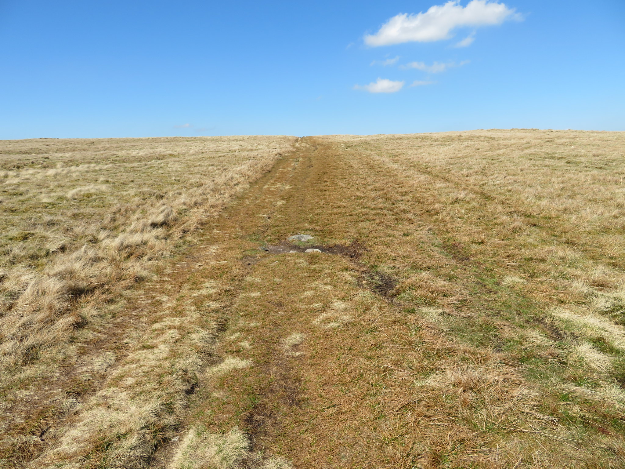 Wide track to Loadpot Hill summit
 Once past the site of the old hunting lodge with its remains of its chimney stack a look back showed us the rougher side of Wether Hill with its peat hags instead of the smoothness of the grass of the south face.
 Wether Hill behind the remains of the hunting lodge
From there it was but a cock stride to the summit trig column of Loadpot Hill from where once again the views are all encompassing and beautiful. We had this one to ourselves so lingered awhile to take in the views. It's sunny and warm, it's quiet and peaceful, it's glorious and a pleasure to be here in this spot above the trials and tribulations of a troubled world. It's not the most handsome of fell summits with its covering of rough fell grass but the views make up for its lack of excitement, apart from the excitement of gaining the summit and casting an eye over the surrounding mountains. Even the view continuing north to northeast is worth a long look at as the Pennines cover the skyline behind the Eden Valley, Penrith, Pooley Bridge, Heughscar Hill below us just beyond the Cockpit and the scattered villages along the valley bottom all make a linger worth having.
 Northwestern skyline from Loadpot Hill
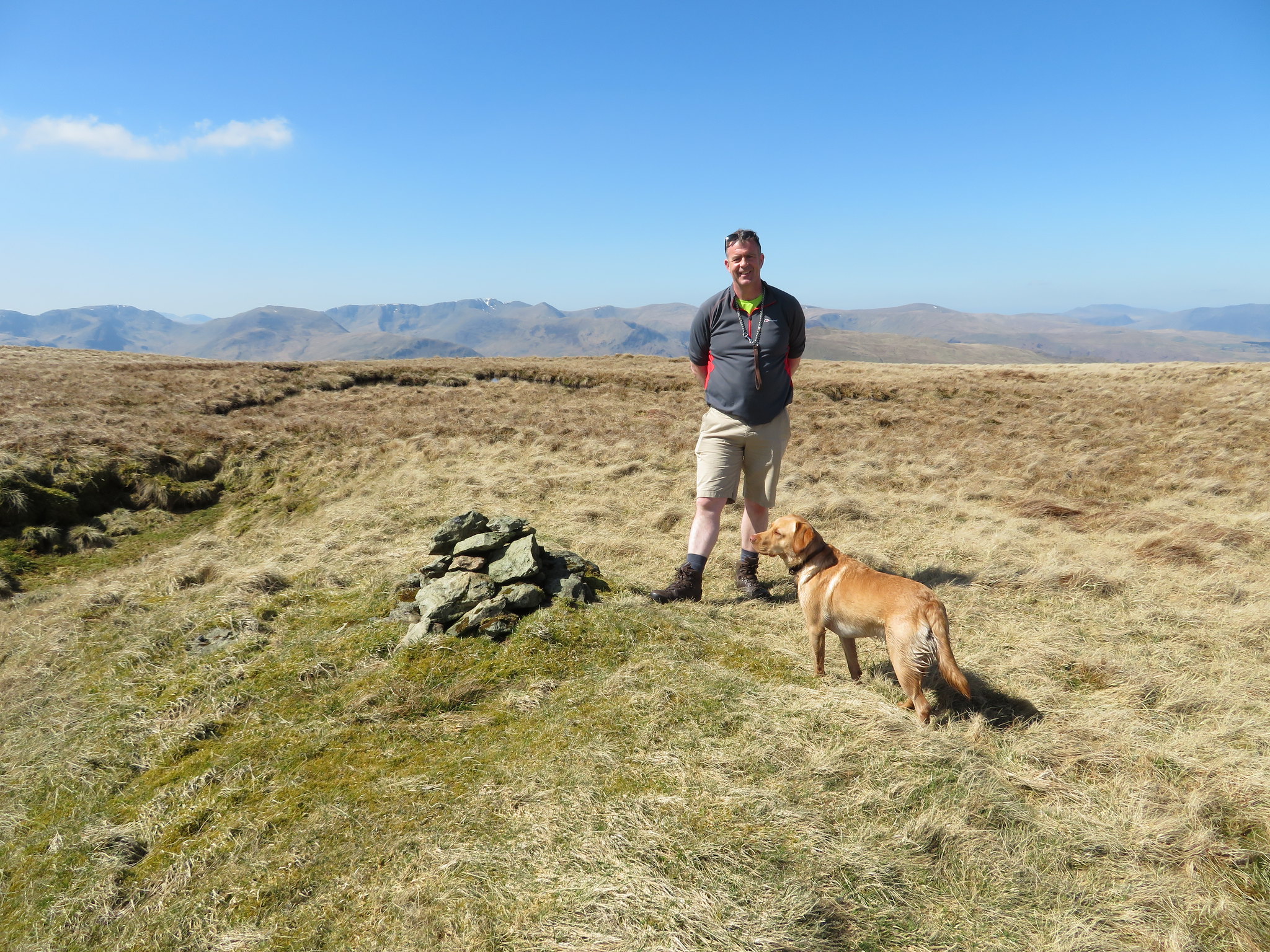
 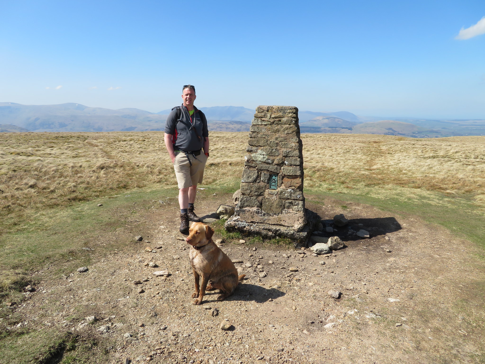 Chris and his dirty dog on Loadpot Hill
 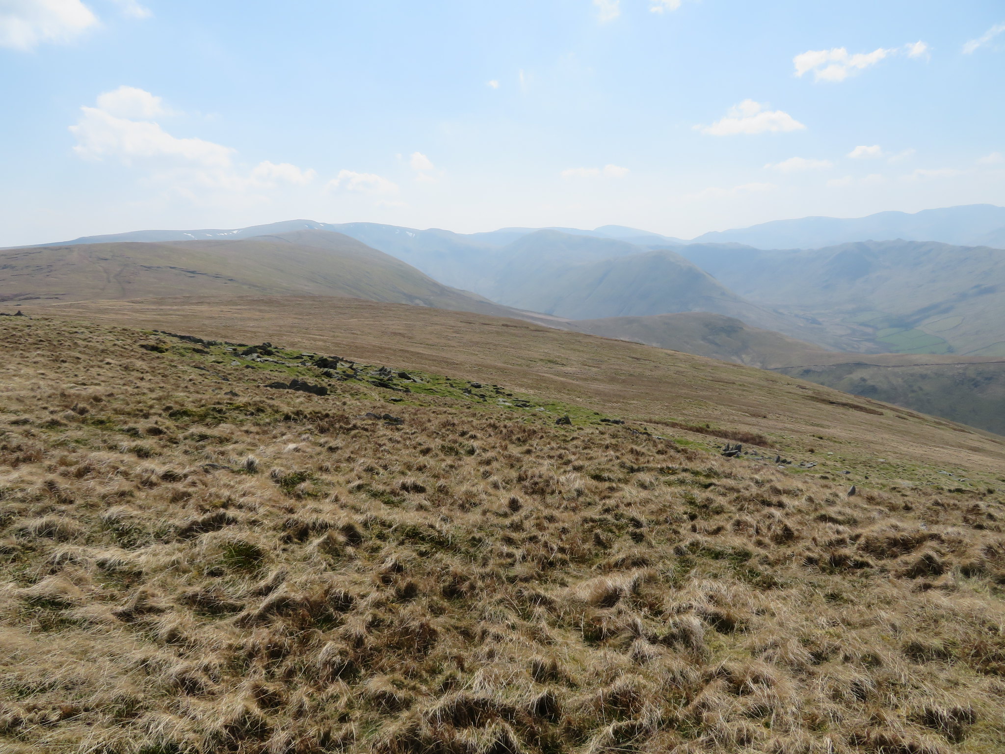 South from Loadpot Hill
 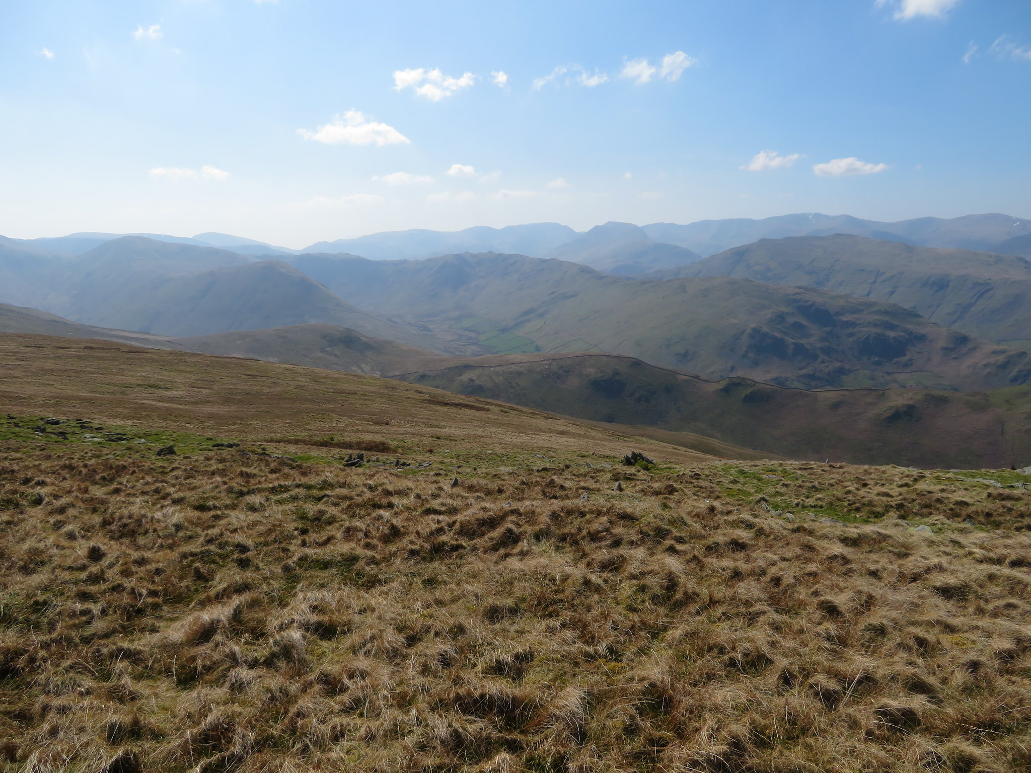 Southwest from Loadpot Hill
 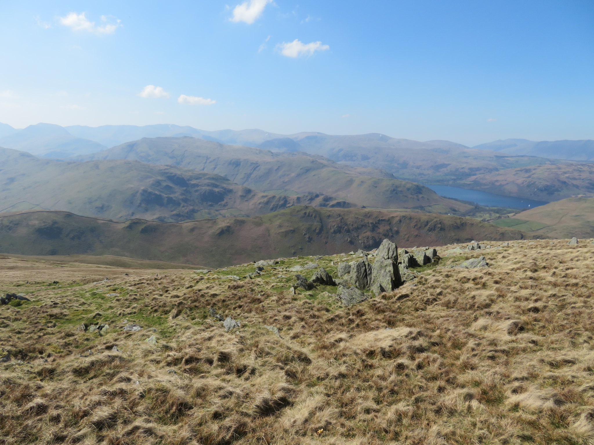 West from Loadpot Hill
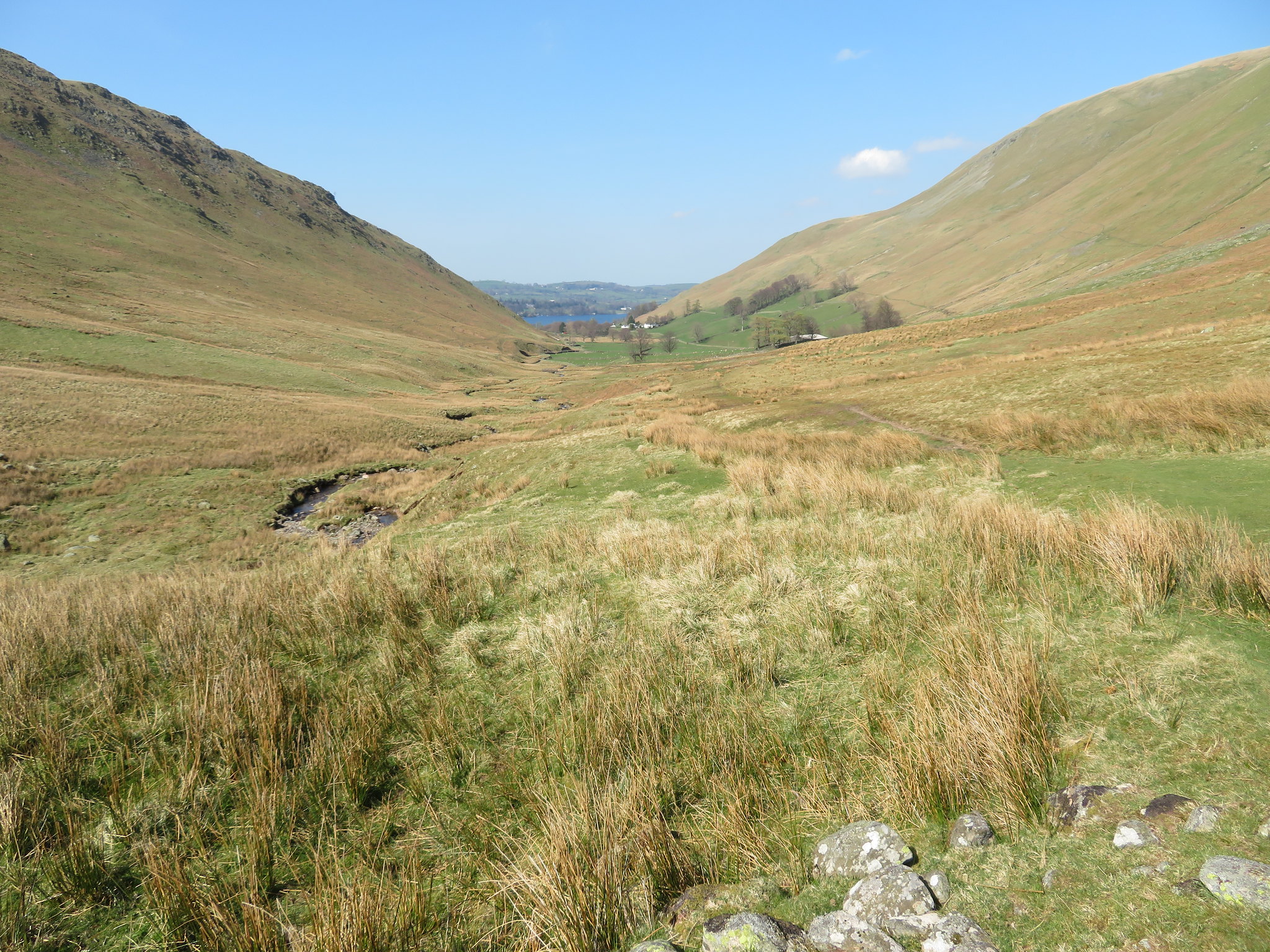
 After a while we left by walking southwest over pathless ground, easy walking over grass until we connected with the Roman Road again where we then turned to the south down the fellside towards Groove Gill and although the way down was right enough I did miss an obvious route that would have taken us down a ridge that runs alongside Dodd Gill, a route that I wasn't aware of until we got well down into Fusedale by the wooden footbridge. This is a route that I will investigate later this year when time will allow.
From just to the north of the head of Groove Gill I took this picture.
 Looking beyond Beda Fell and Place Fell
 Fifteen minutes later we were down on the valley bottom path walking along the narrow valley of Fusedale with the Steel Knotts ridge to our left and the bulk of Loadpot Hill towering above us on our right.
 Steel Knotts and Fusedale
 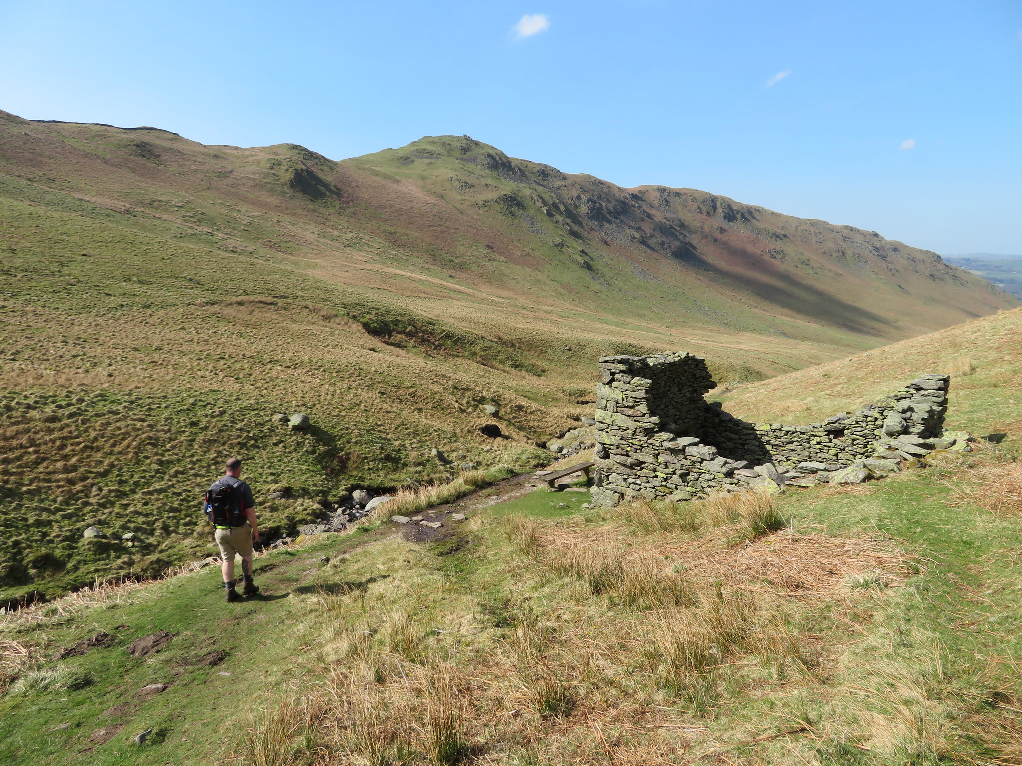 Tumbledown building in Fusedale
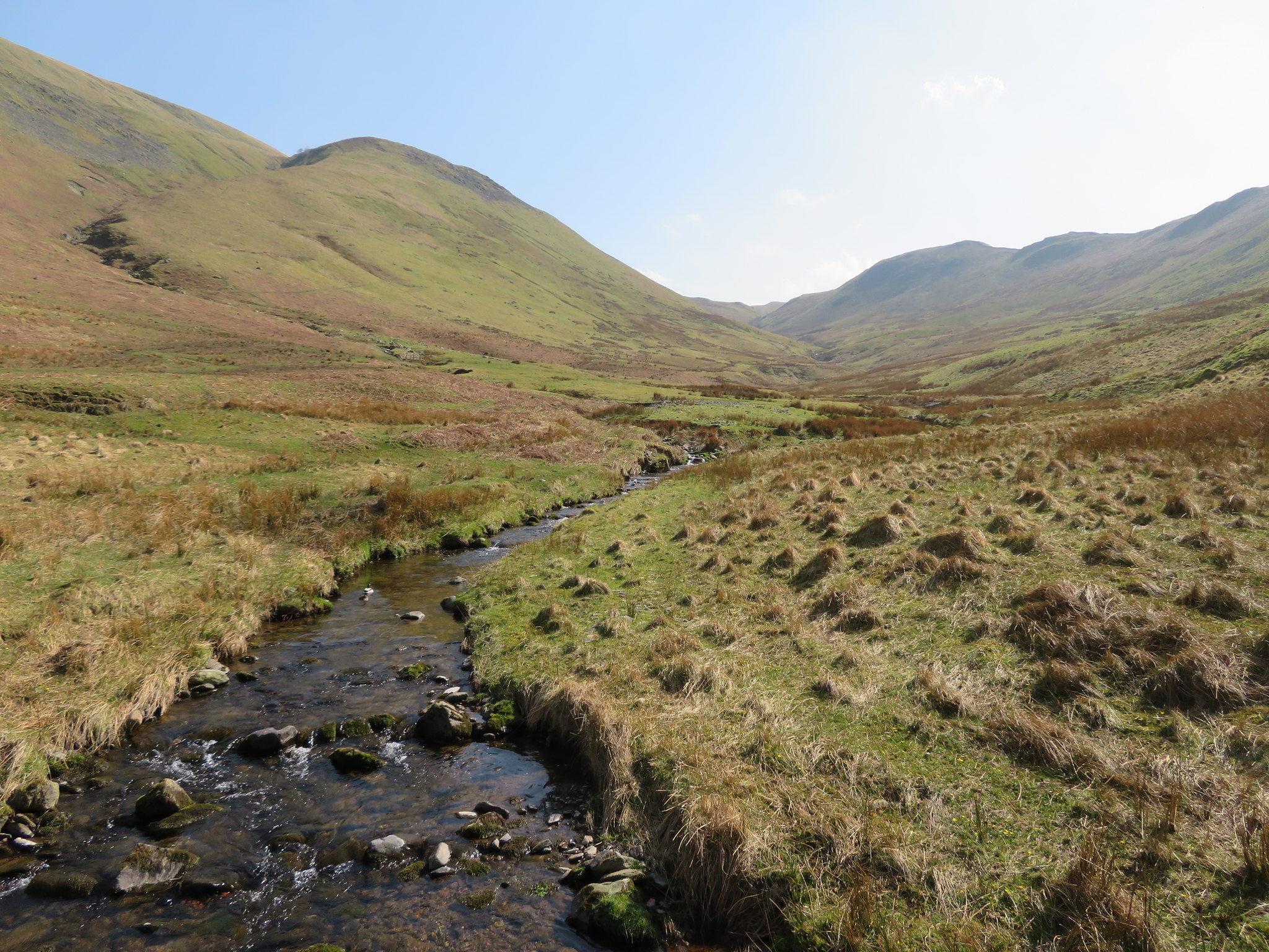
 The fells on either side run right down to the banks of Fusedale Beck and are mostly grass covered with a smattering of rocks and decayed crag debris scattered along the sides of Brownthwaite Crag. This is a lonely little valley but has its own beauty with its sparseness and quiet attitude, the only noise coming from the beck as it runs over the rocks and down the tiny waterfalls. Further down the valley in times gone by it would have been much noisier as the mine under Brock Crag was in operation, the only signs now being the large area of rocks, the mine waste that makes up the old tip that sits lower down than the mine level. What they were mining for, when it was working, and how long ago is now probably lost in the annals of mining history. Forgotten men and lives of another time gone by.
A few more minutes walking along the valley saw the landscape beginning to change as we could now see green pastures at the entrance to the valley, pastures that would in part belong to Cote Farm that resides just beneath Brock Crag. The past workers of the land have forced the rough fellside beneath Brock Crag and White Knotts into submission as they cleared the land to gain a better living out of it.
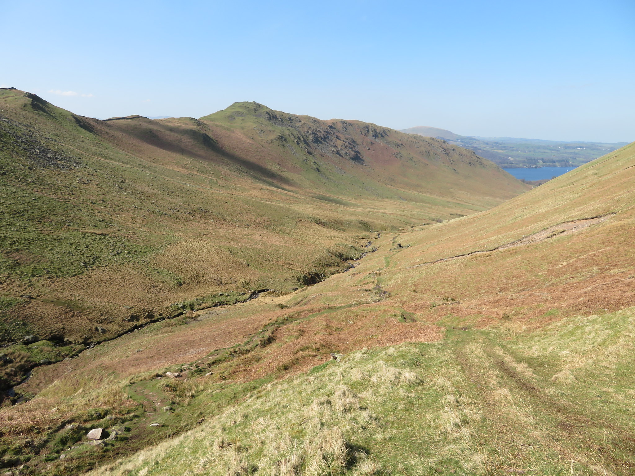
 Fusedale to Ullswater
 We reached the footbridge below Brock Crag and looking up along Dodd Gill could see a definite footpath working its way along the ridge, easy enough but steep in places and as mentioned one that I will definitely climb if only to see where it arrives at on Loadpot Hill. It's also good to know these routes as they could be a means of a quick escape if ever needed. A look up the valley gave me this view.
 Fusedale with Dodd Gill to the left
 Sonny had a good paddle here and tanked up with fluid from the beck before we set off on the last leg of our walk and before long arrived at the next footbridge that proved to be an ancient stone clapper bridge.
 Clapper Bridge across Fusedale Beck
 From here there was nothing left to do apart from take the pleasant walk around the end of Steel End and make our way back along the good track that runs through The Coombs…
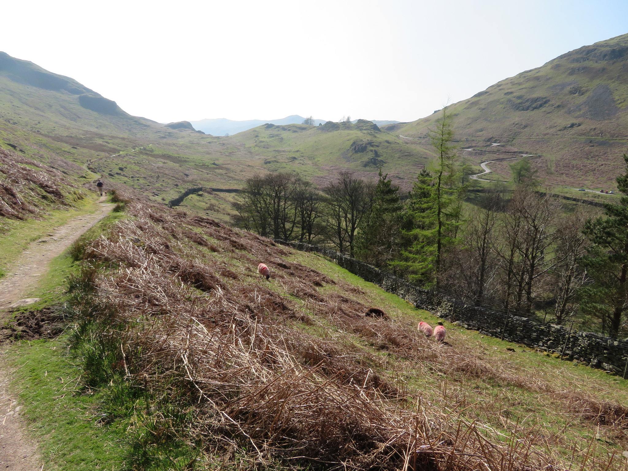 Looking across to The Coombs from Steel End
a nice steady amble on a nicely graded track with a good view of the winding metalled road to Martindale on the opposite side.
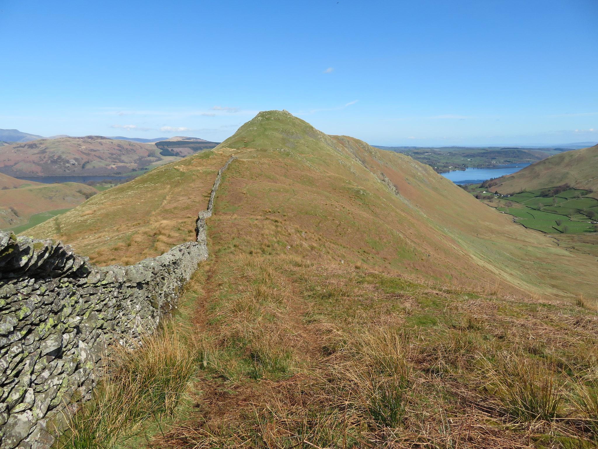
A few walkers passed us going in the opposite direction as Chris gained ground on me as I stopped to take some more photos of our last moments of this glorious day out on the fells. Ten minutes later we were once again beneath Birkie Knott with a view of its eastern side this time, a side that looks a lot easier to climb than the way that we went up.
 The eastern face of Birkie Knott
 It was now just a case of making the short climb up to behind the church and returning back to the car, but Chris had disappeared. Wondering if he had walked straight on in a dream I went looking for him but after 10 minutes gave up as he would surely have realised his mistake by now and be on his way back. I made my way to the car and there he was, mopped and stoned, ready to go, the tosser. He had taken a slightly lower path on the east side of the church where he was hidden from my view.
After the rough day out on Wednesday when one thinks and swears ' never again, I'm packing this walking lark in' a day like today brings it all back into perspective. An average of a bad walking day plus a good walking day makes for an alright day, an alright day where the bad ones are forgotten and forgiven. That is the joy of walking and climbing in the fells and mountains, the change in the weather that affects the views, views that we have seen countless times but look different every time we look at them, the moving landscape that can change in the blink of an eye during or after stormy weather such has been had these last two years. May the joys last - whatever the weather - for years to come yet.