
A Far Eastern stroll.
A bright warm and sunny day dawned as Chris and I met for our latest venture out and into the fells and mountains of the LD and as we are close to completing this area of fells for him his decision was to see off a further 4 Wainwright's that also included 3 x Hewitt's and 7 x Birkett's so not a bad haul for the day that will leave him only two left to climb in this area. Tagging along with Chris was Sam who last walked with me on a bad weather day in Eskdale 2 years ago, but he would have no problems with rain today, although as he went to Stoke to see his beloved Middlesbrough play the previous night and didn't get home until 2:30am weariness may dampen his spirit somewhat as the miles and height gain increase in numbers as the day progress's.
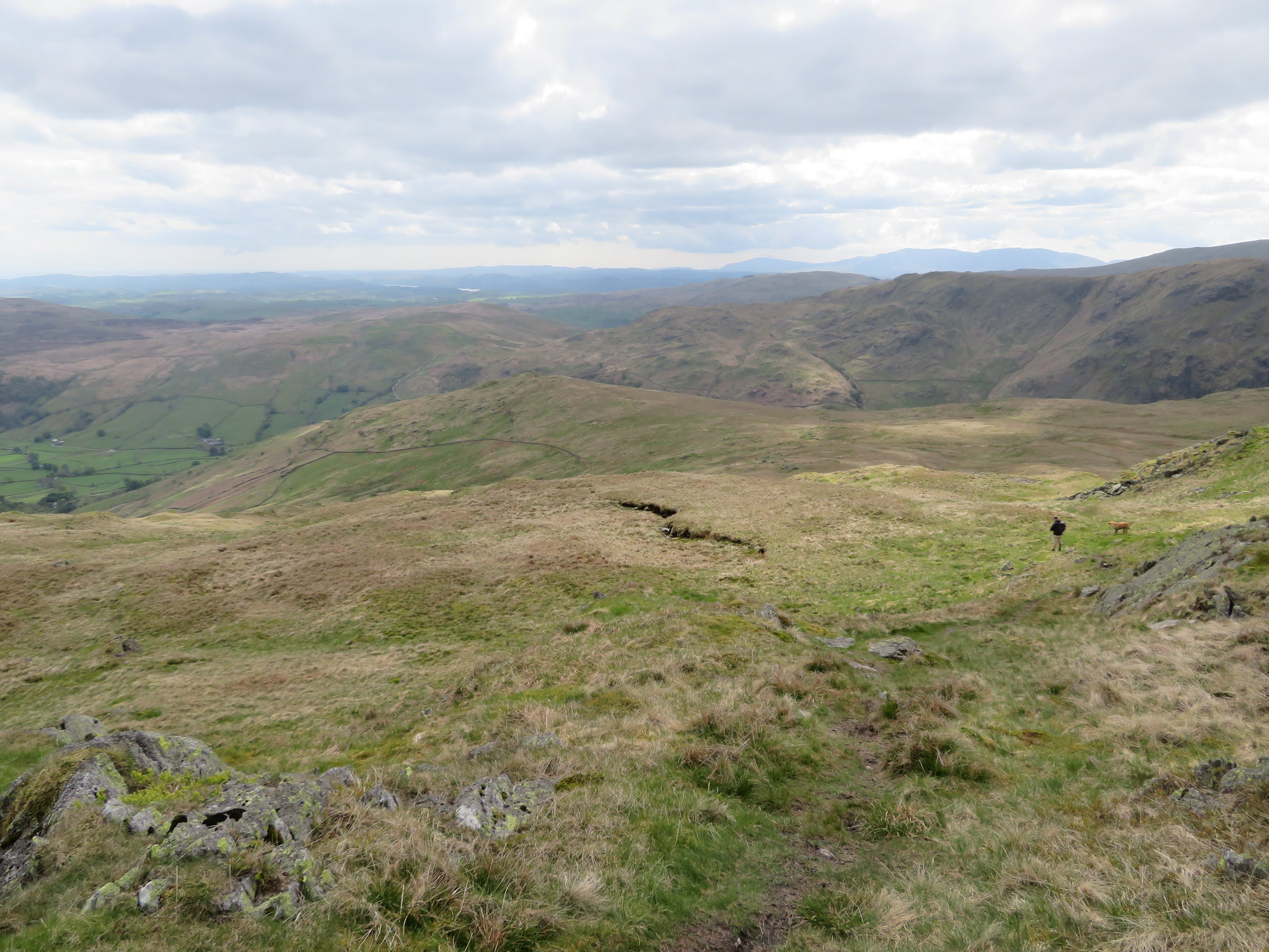
We picked up the A6 just south of Penrith and was soon turning off it to take the narrow 4 mile long metalled lane to its termination at Sadgill, a small collection of farming dwellings that appears to comprise of only three farmhouses plus accompanying out buildings and barns.
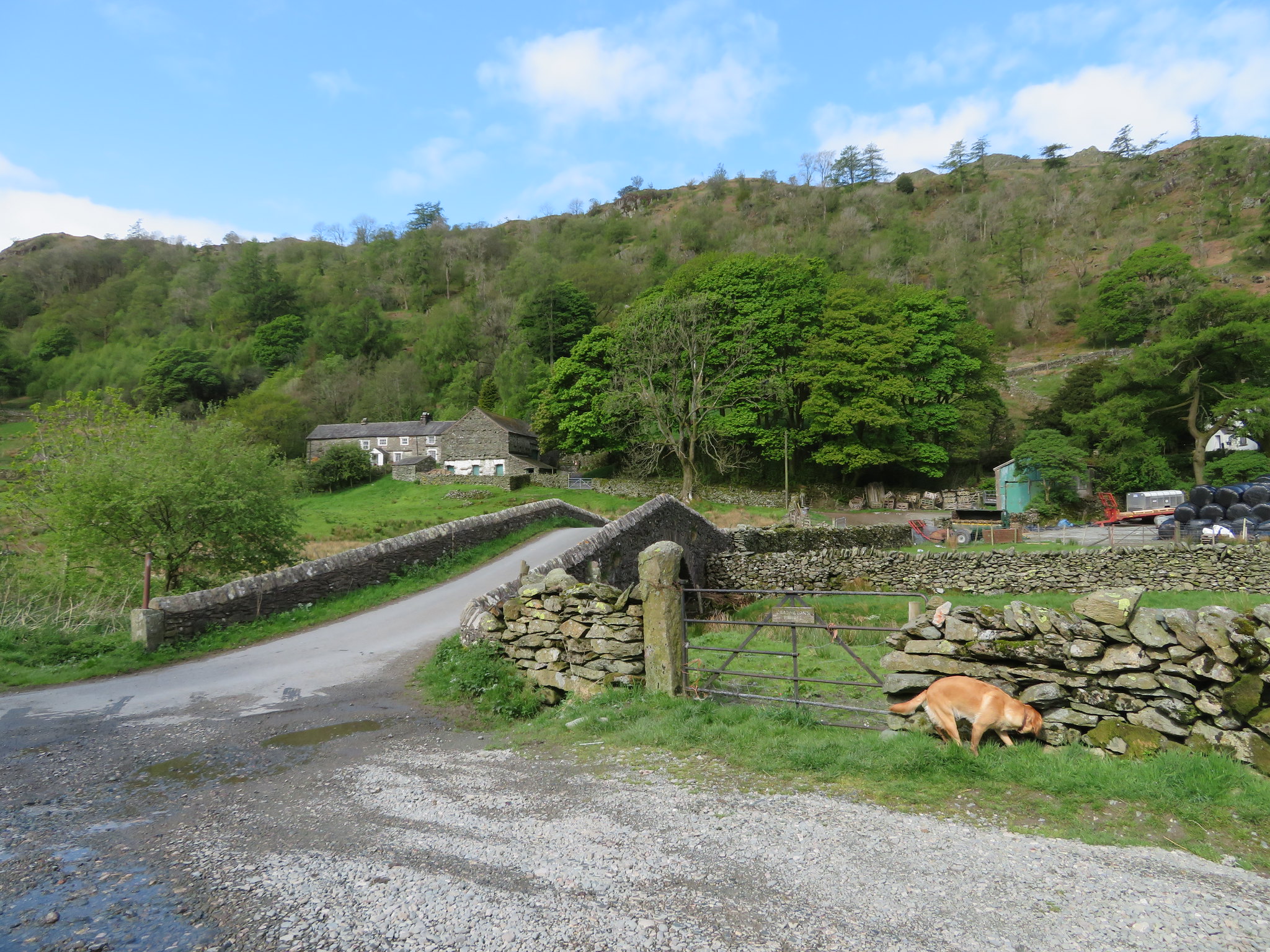 The isolated Sadgill in Longsleddale
 It was a glorious day with a blue splattered sky fighting off the large banks of cloud that promised shade but no rain. The metalled lane ends at Sadgill to be replaced by a wide stony lane that makes its way north to the site of the old Wrengill Quarry from where it then begins to climb up between Branstree and Adam Seat - Gatescarth Pass - and on into Mardale. Across from the old quarry there is a right hand branch at Brownhowe Bottom that makes its way to more old quarries below Selside Brow, the Mosedale Cottage with its comfy armchairs and couch - if they are still there - then on to Swindale - where the Mardale Corpse Road used to pass through on its way to the Shap cemetery - that can be by-passed if wanting to go to Wetsleddale and the reservoir.
Although it was quite early there were three cars already parked up with another two arriving shortly after we had and with parking space at a premium any late arrivals may have been disappointed as room has to be left to allow the farmers and their vehicles room for manoeuvre in this not very large area of land. Now parked up and suitably attired we set off to cross the bridge that spans the River Sprint with the knowledge that we have 3 miles of steady climb before us and to follow a good and stony track that runs behind the farm and then passes through Sadgill Wood that made for a pleasant start to our walk with the sunshine dappling through the newly made leaves of this natural woodland made all the more pleasant by the sound of a cuckoo, a migrant bird that is getting rarer to our shores, and although heard is seldom seen.
The track rises at a steady gradient and once out of the wood the views open up somewhat to the south to get a fair view along part of Longsleddales pasture lands whilst on the opposite side Tarn Crag, Great Howe, and Grey Crag can be seen. Further south there is the high ridge of Bannerdale, a great ridge walk in its own right with Ancrow Brow, Capplebarrow, Todd Fell and Whiteside Pike making for a great walk especially if combined with the fells on the east side of Bannerdale.
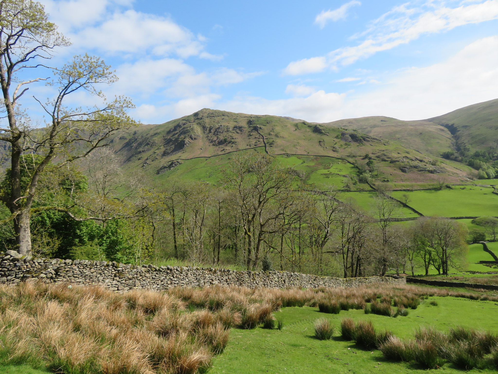 Great Howe from Sadgill Wood
 It wasn't 10am yet and it's warm, very warm as we made good progress along the track that steepens in one place where cobbles - or sets - have been laid to allow purchase for both feet and wheels. So far we have been walking roughly south but as we pass over the pitched stone part of the track it begins to turn to the west and also level out for a while and the views were opening up once again. South of us was the large expanse of Hollow Moor, Green Quarter, Cocklaw Fell and Sleddale Forrest with just a hint of Skeggles Water in the centre of all three and again this is another good area for a fine bit of walking. West there are the three mountains overlooking Kentmere, Yoke, Ill Bell, and Froswick and to the northwest our first small challenge of Wray Crag the precursor to making our way up to Shipman Knotts and Kentmere Pike.
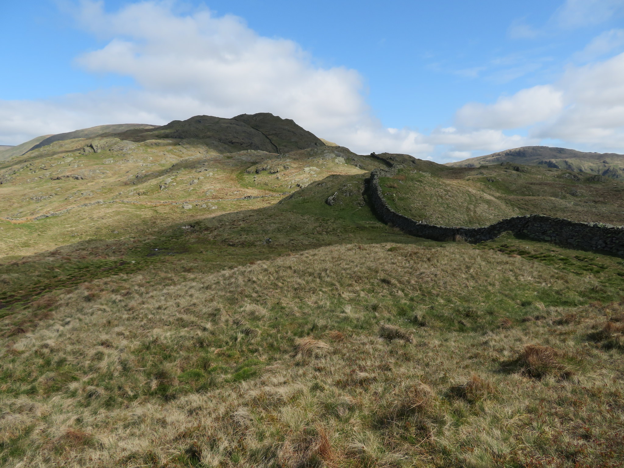
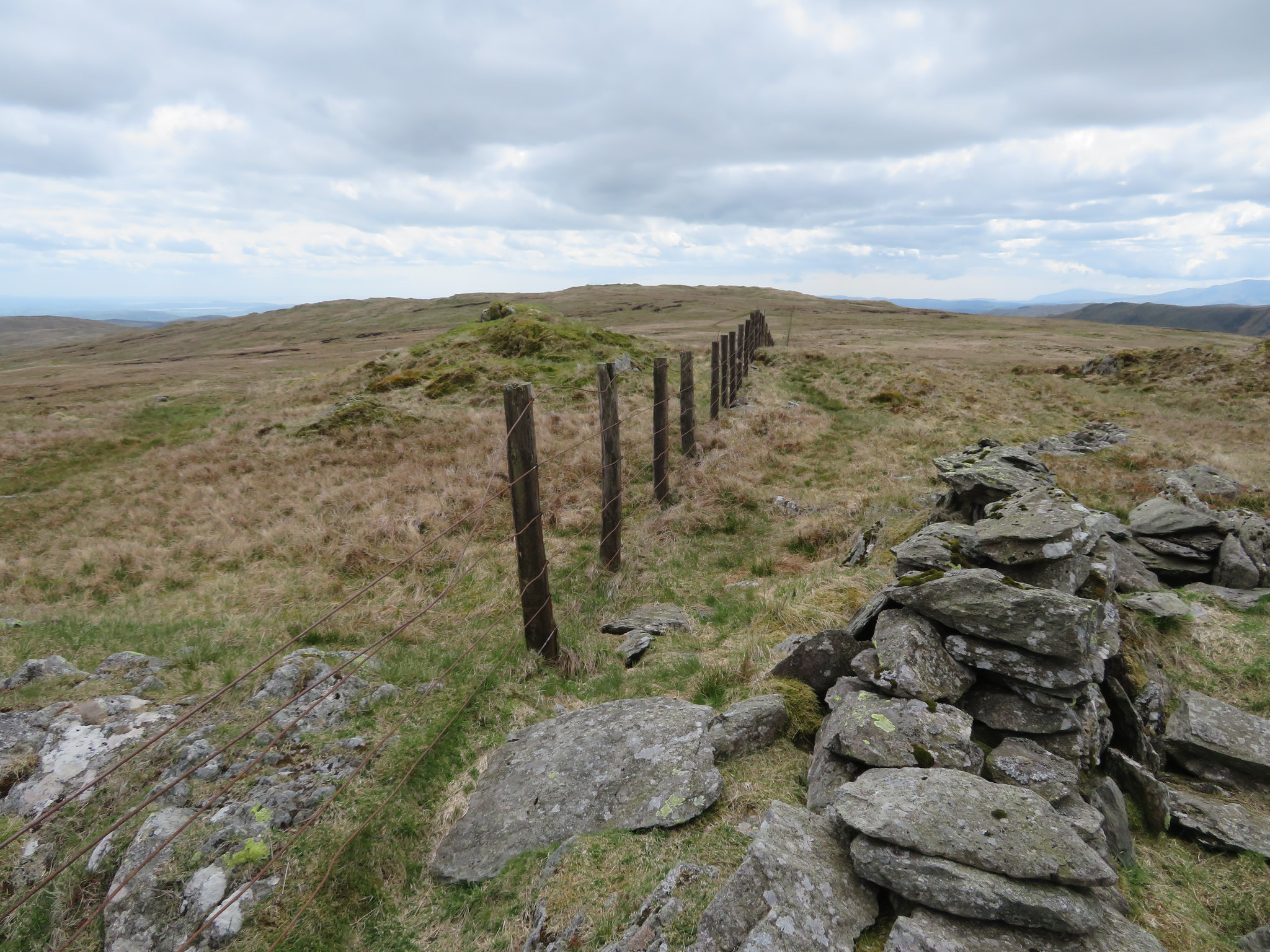
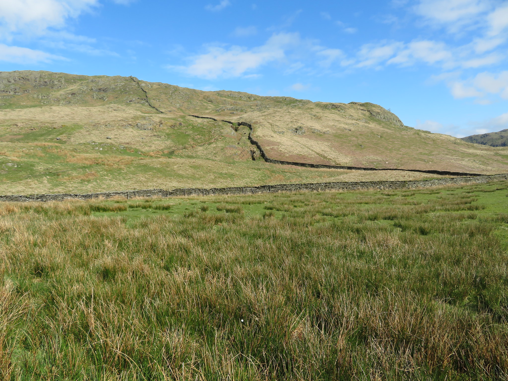 The wall runs over the top of Wray Crag
 Immediately after passing through the gate we left the track that continues down into Kentmere and took a narrow path over grass to meet up with the wall that we would stick with to Shipman Knotts and beyond until it is replaced by a wire fence and then a wall again that would be followed until we left this side to cross over the valley below. The path is good and easy with just a couple of narrow places where the path passes below some small grass covered crags and where it is a bit more rugged underfoot but these places are no cause for concern. A short climb and we were on Wray Crag.
 West from Wray Crag towards the 3 Kentmere Pikes
 Apart from the view of the three mountains we could see the upper pastures leading up to the reservoir and the backdrop of Thornthwaite Beacon and crag on the skyline. It's good to be out on a day like today with the sun beating down, the power of its rays held at bay by the cool breeze that we had now met as we gained height.
From Wray Crag Shipman Knotts was some 180 metres above us…
 Shipman Knotts ahead
 and was soon reached stopping only for a look around at the panorama around us.
 Ancrow Brow and Capplebarrow behind Longsleddale
 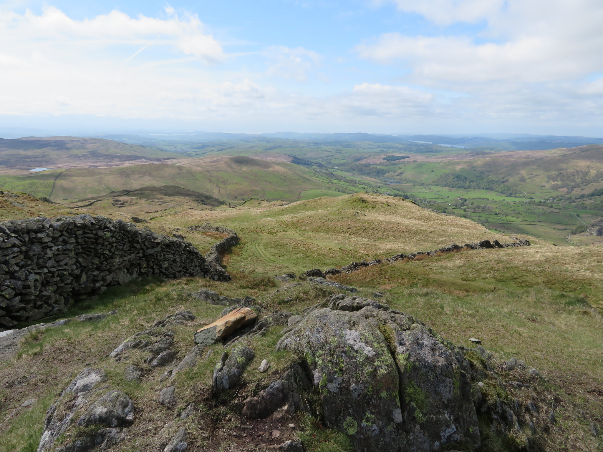 Southwest towards Windermere
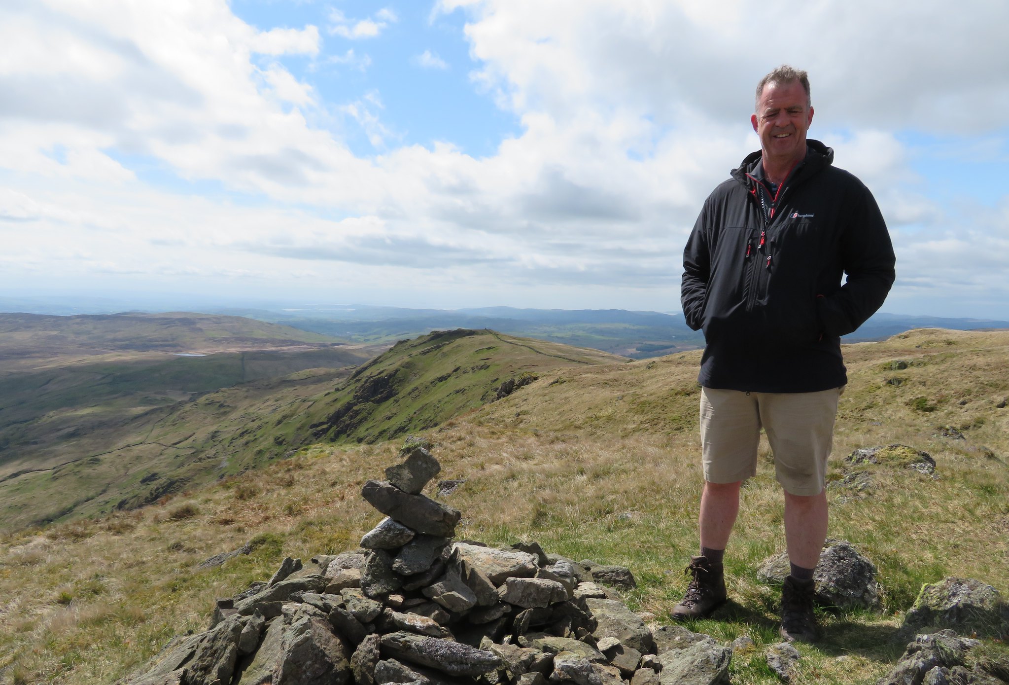
 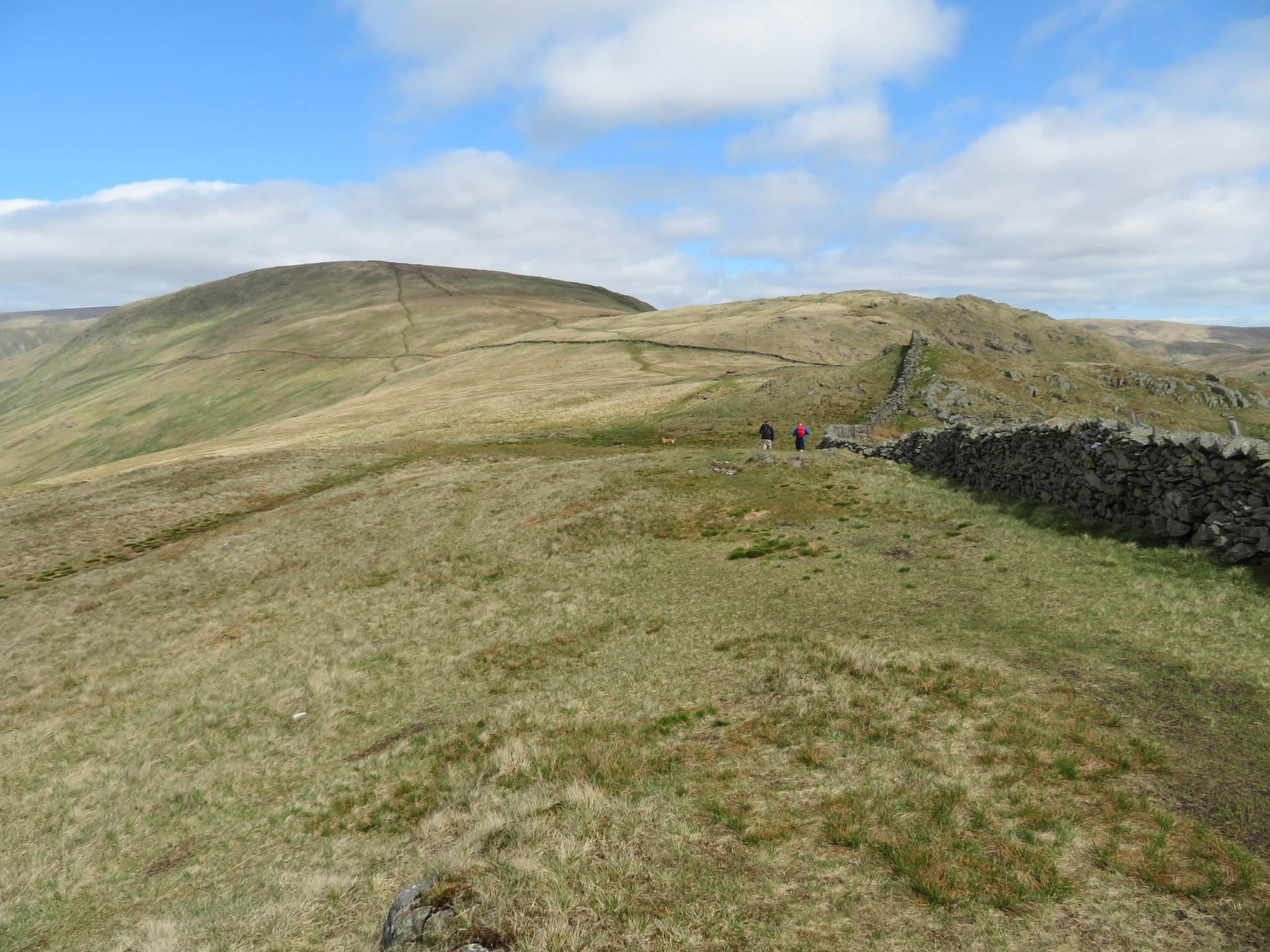 Shipman Knotts with Kentmere Pike beyond
 Shipman Knotts is nothing but a grassy knoll over which the wall continues on nearly to Goat Scar when the fence takes over, so nothing much here apart from a few stones playing at being a cairn but the views more than make up for this tops lack of stature and maybe Wainwright chose this as a stopping off spot, a place to rest and take in the views as he made his way upwards to bigger and higher things. We didn't tarry as after a swift drink we set off for bigger things with Goat Scar being our next hill…
 View back to Shipman Knotts
 where a stride over the fence with the help of a stile gave us a face on view of Tarn Crag and Grey Crag…
 Tarn Crag and Grey Crag behind Goat Scar summit
 and a viewpoint that would allow us a great view southwards along the long and green bottomed valley of Longsleddale.
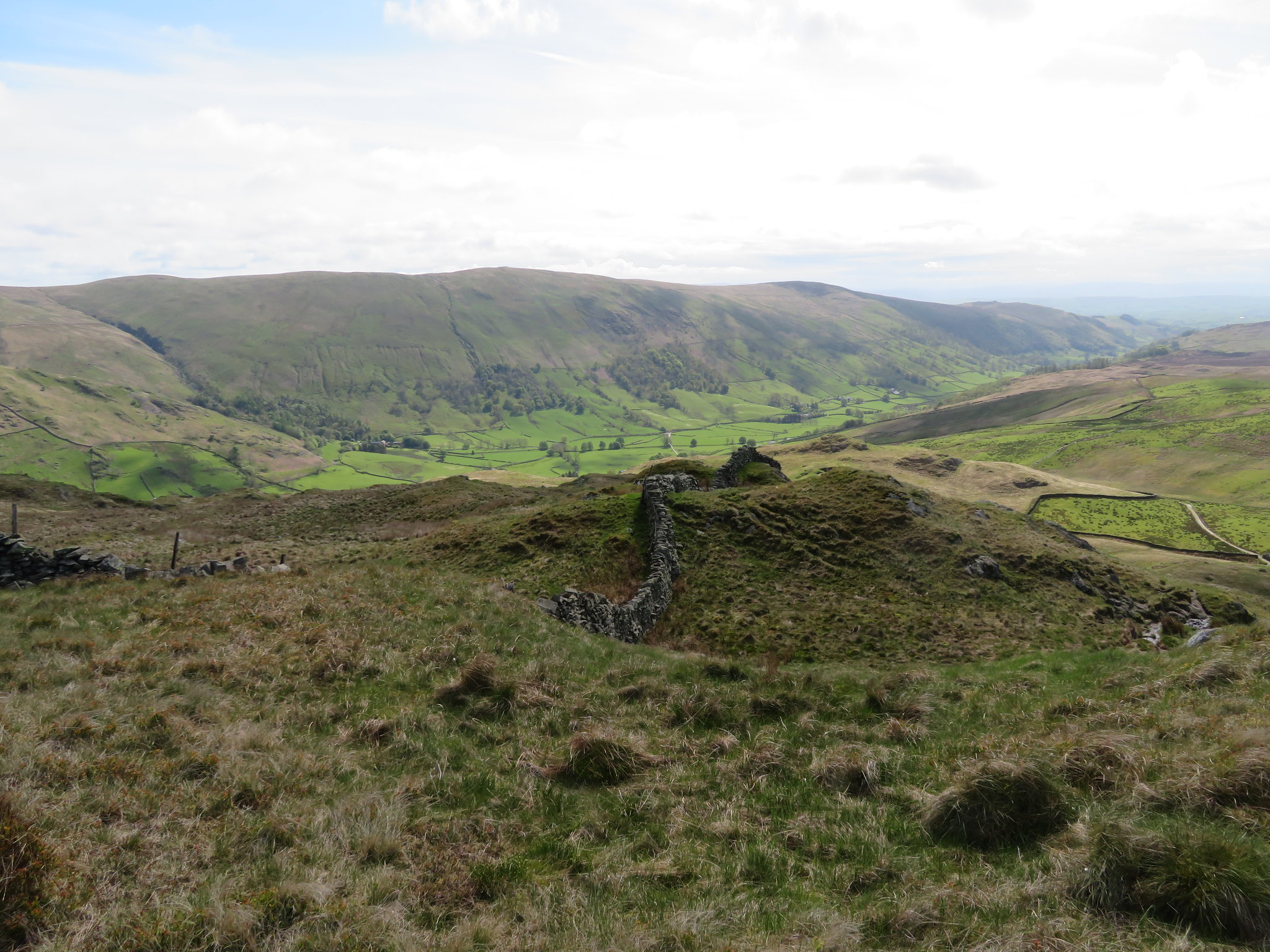
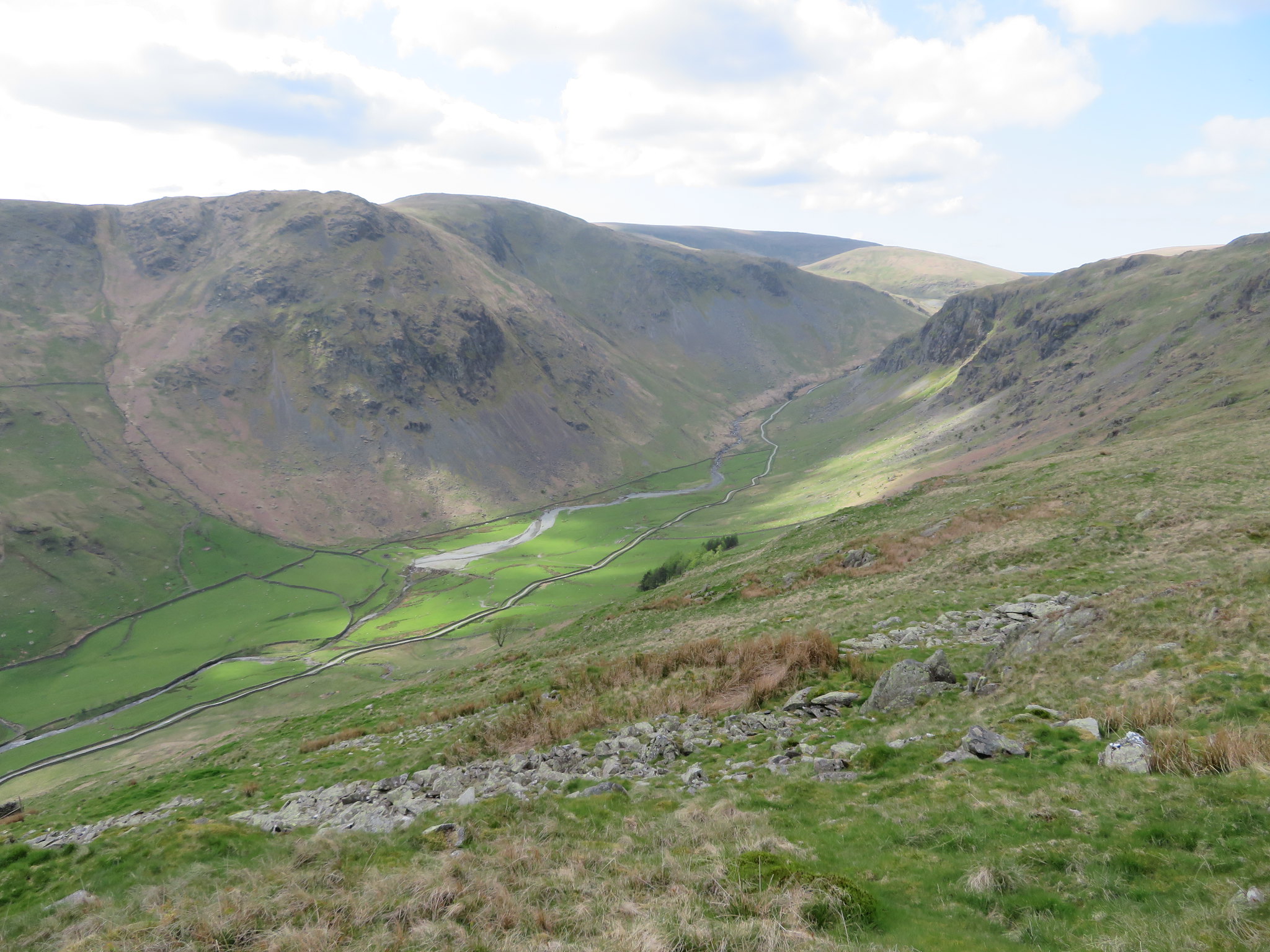
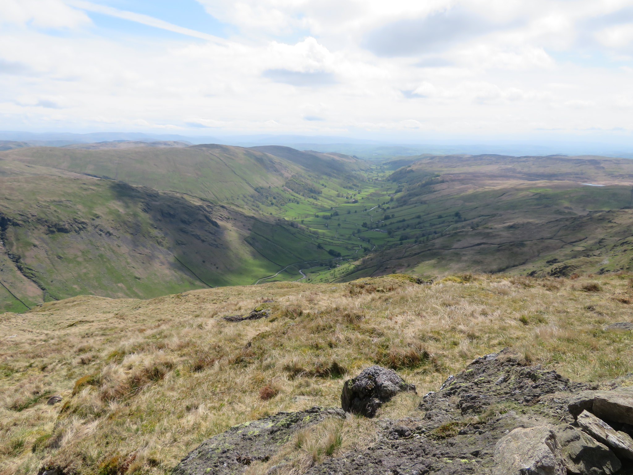 Longsleddale from Goat Scar
 The views are tremendous from this point from where we also had a good view of Selside Pike, Branstree, Adam Seat, and into the mouth of Mosedale across the valley.
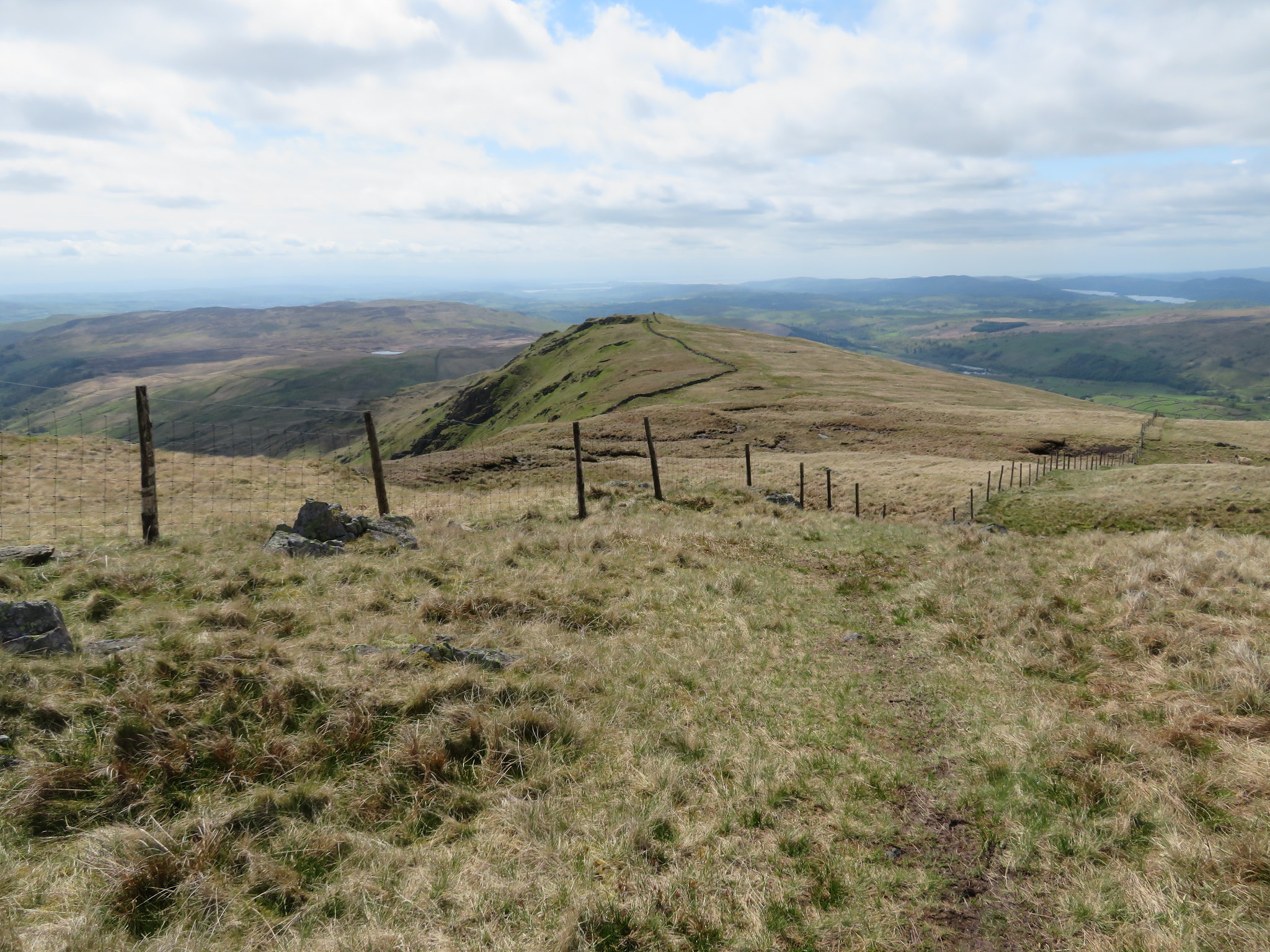
 Goat Scar with Shipman Knotts below centre
 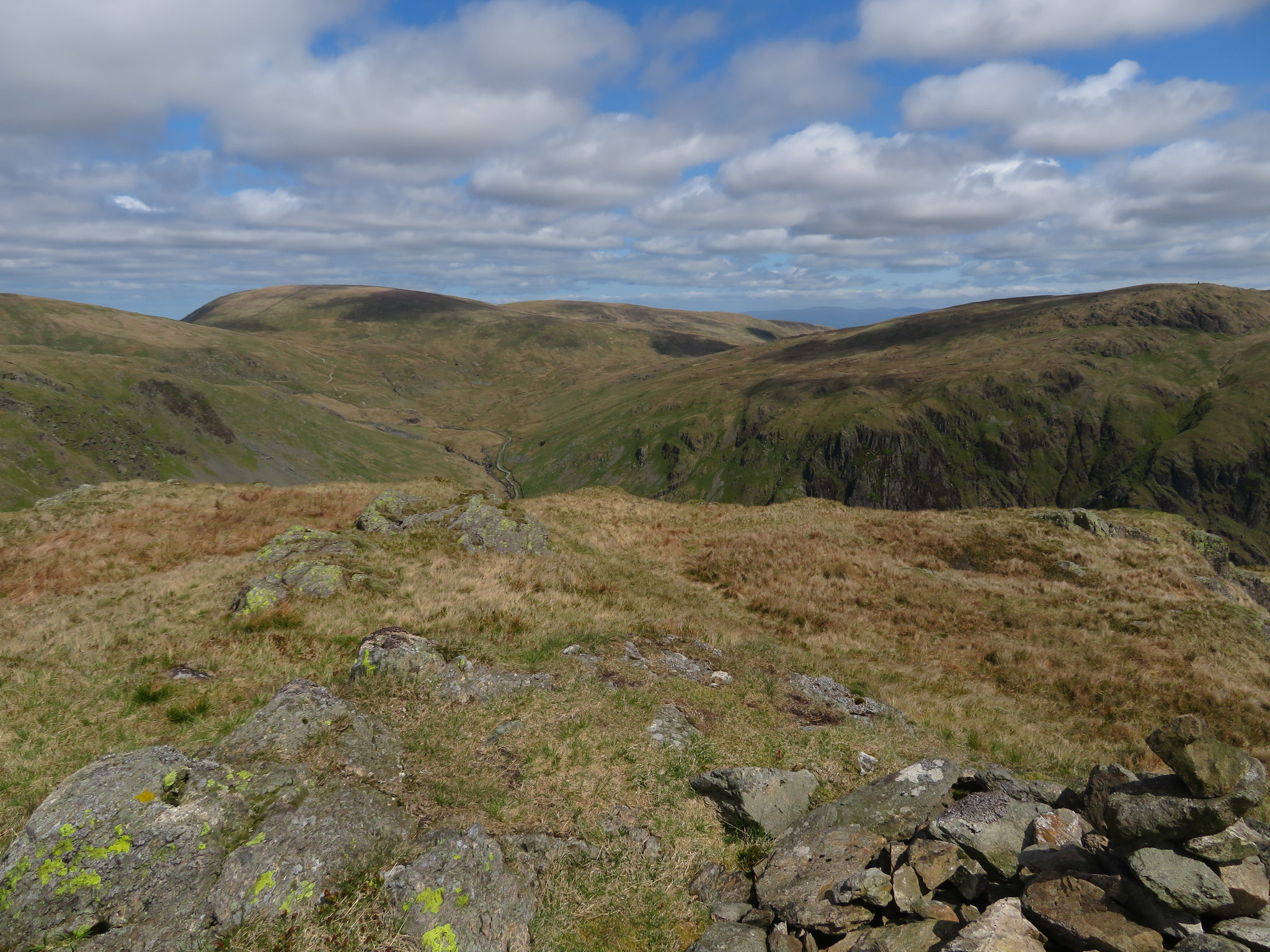 Branstree - Selside Pike and Tarn Crag
 The views and the weather were exhilarating but it was time to move on now to bigger targets with Kentmere Pike being our turning point on this side of Longsleddale. From Goat Scar we continued alongside the fence until the wall once again replaced it. The walking is easier still as the ground eases off considerably and we made good progress along the dry ground that hadn't seen rain for a few days.
 Kentmere Pike summit ahead
 There is a cairn on the Kentmere side of the wall and an OS trig column on the Longsleddale side that can be reached by passing through the gap stile. Directly across there are another three mountains that help to make up the Kentmere Round walk, Yoke, Ill Bell and Froswick all lined up and partly blocking the view of the fells to the west behind them. From here the path continues upwards to the summit of Harter Fell…
 The path goes on to Harter Fell
 but we are going to leave the ridge at this point and make our way northeast towards the old Wrengill Quarry from where we will meet up with the Gatescarth Pass track before walking into Mosedale from Brownhowe Bottom to collect our next small batch of fells.
 Dropping down to the old Wrengill Quarry
 Although the way is pathless it is easy walking over the rough fell grass with just the odd wet mossy patch to look out for and with the old quarry always in our sights there was no problem with navigation.
Nothing remains of the quarry now apart from the usual piles of quarry waste…
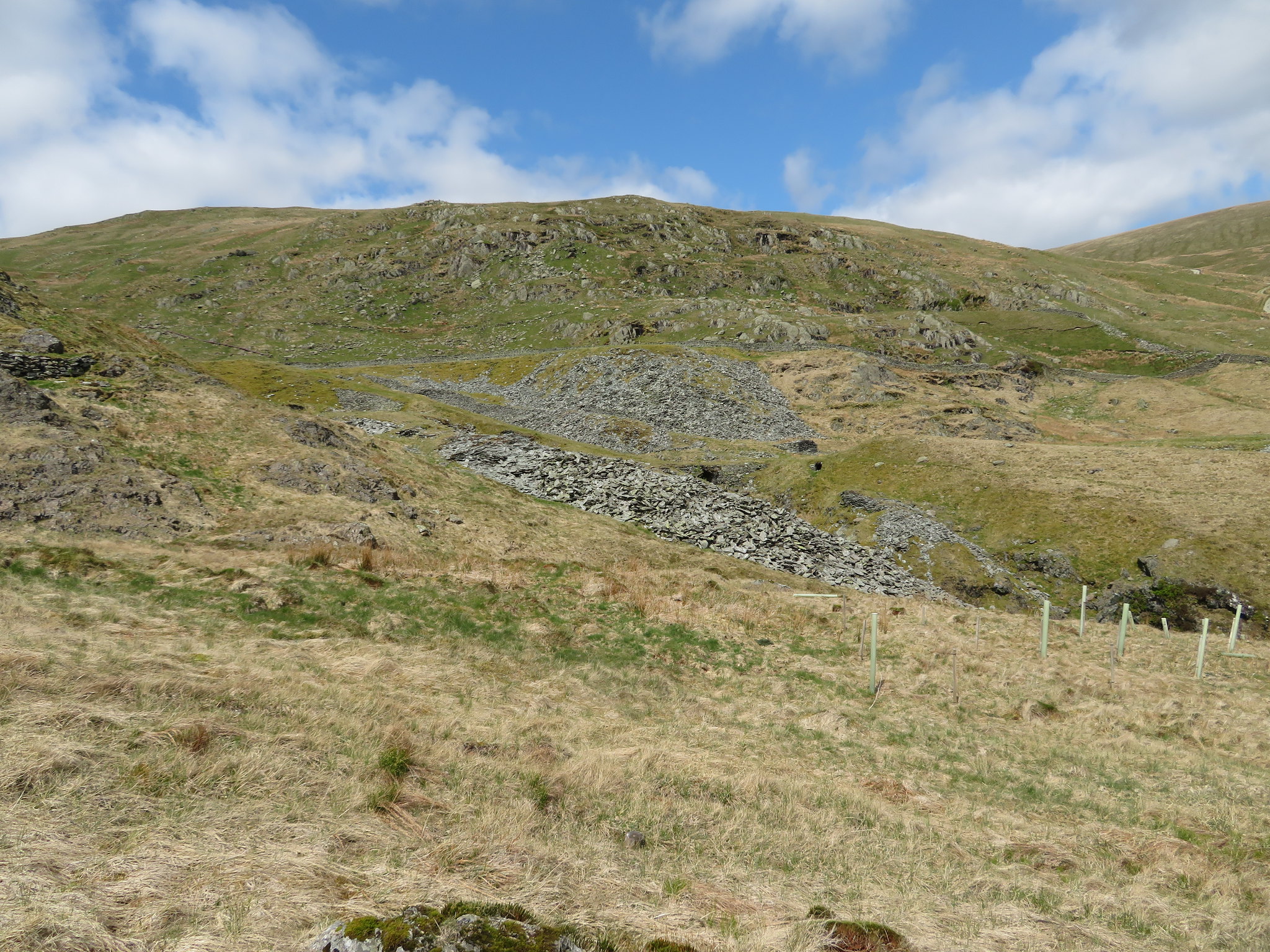 Remains of Wrengill Quarry
 but it holds its own beauty in the ruggedness of the place and the wide river channel that was today almost dry but looking at the width of the channel and size of the boulders this must be one fearsome river when in spate. We passed through a small area of planted trees that I suppose are trying to pretty the place up somewhat, but then again it may be part of the tree planting project that has been ongoing for quite some time now around this area, especially in Swindale.
We arrived more or less at the foot of the climb along Gatescarth Pass but passed straight across to take the bridleway to Swindale and Wetsleddale…
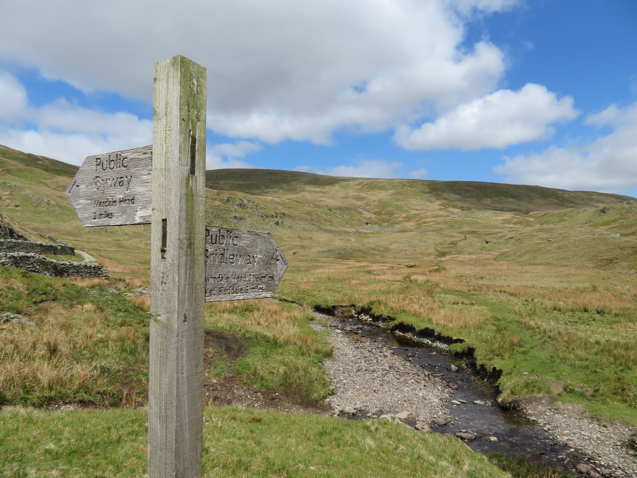 Northeast to Brownhowe Bottom and Mosedale
 a track that used to be notoriously wet and boggy but today was a pleasure to walk on as we made our way along it as it climbed easily once again into the mouth of Mosedale. As Branstree reared up high to our left so did Tarn Crag to the right but we had a bit of walking to do before we reached the fence that drops of Branstree, stops and then picks up again at the foot of Tarn Crag. Before we reached that point we stopped for a drink and a bite to eat tucked in the shelter of a peat hag out of the chill of the cool breeze, feeling more so as we cooled down from the exertions of walking. So far, so good. The paths have been good, mostly dry and clear to see with a bit of 'off piste' to spice things up a bit.
On our feet once again we set off on the climb up the north side of Tarn Crag, another easy climb with Sam now revitalised bounding to the fore, something that will change as lack of sleep kicks in later on during the walk.
A swift look back gave us a view of Branstree and Selside Pike.
 Branstree and Selside Pike
 A little higher and we got this view.
 Harter Fell and Branstree either side of Gatescarth Pass
 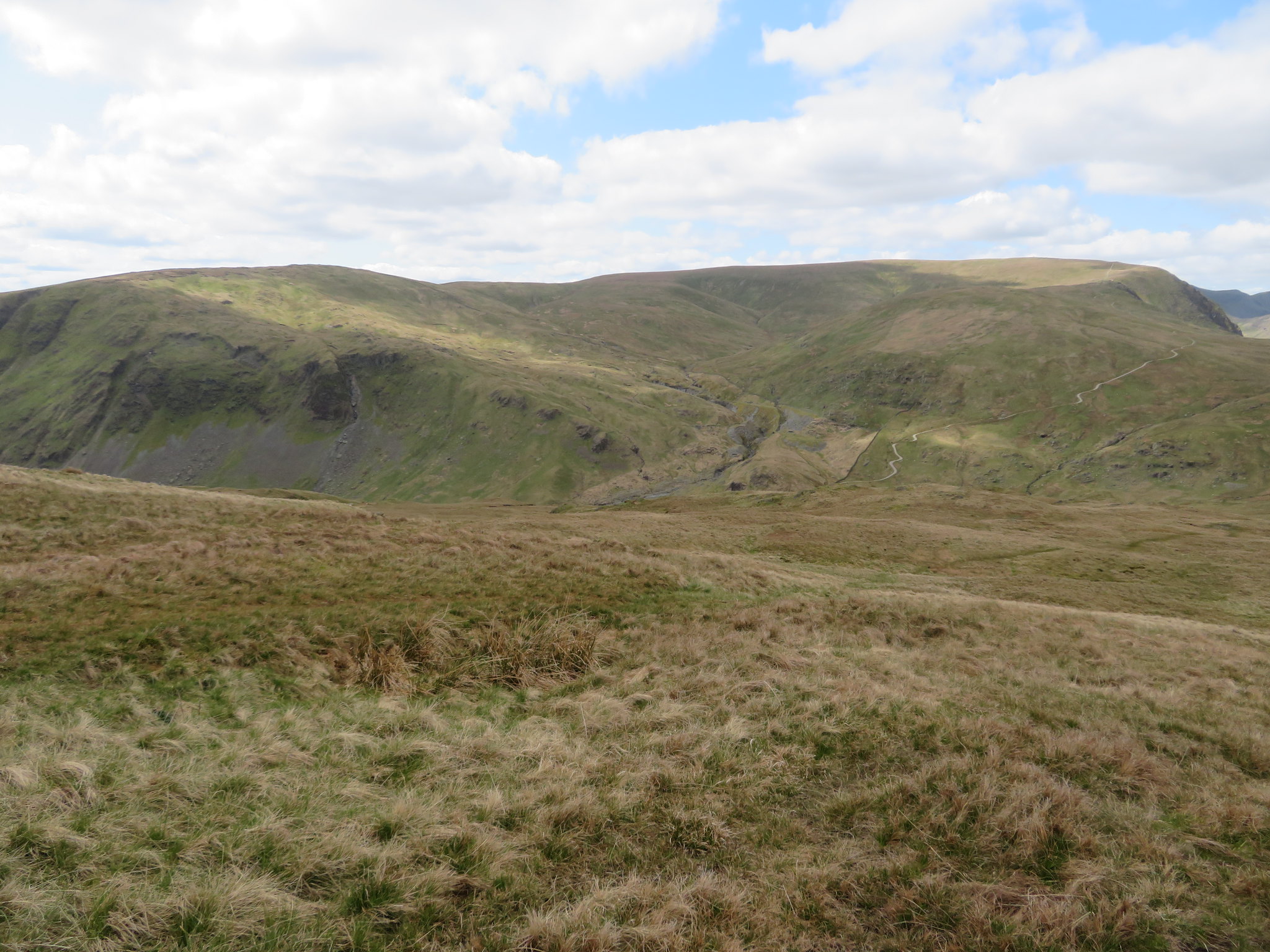 Kentmere Pike and Harter Fell
 Not many minutes after leaving our dining spot we were at the old stone built survey column that was built for the engineers when the aqueduct moving water from Haweswater to Manchester was constructed.
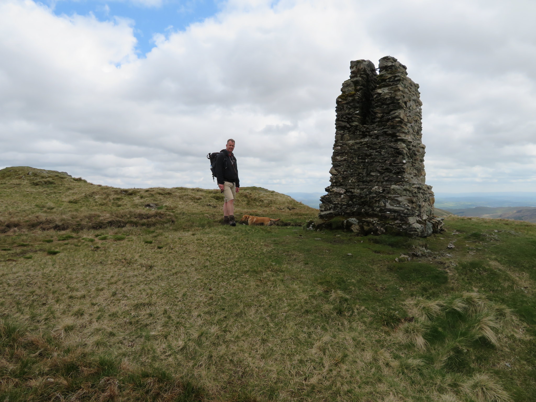 Tarn Crag survey pillar
 An alternative view south along Longsleddale was to be had with Windermere and Coniston Water to be seen although it was nowhere as good as the view that we had from Goat Scar.
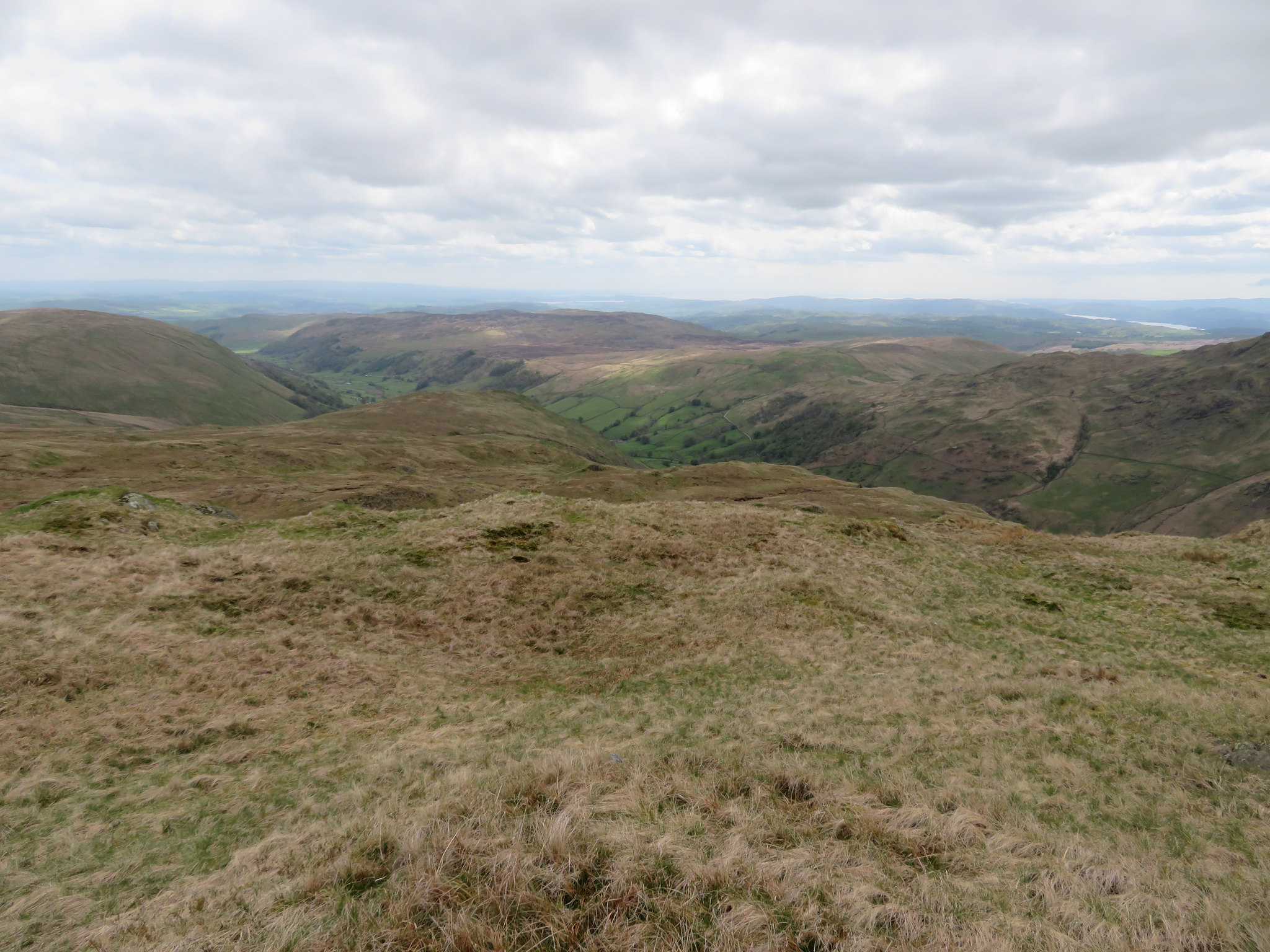 Across Longsleddale from Tarn Crag
 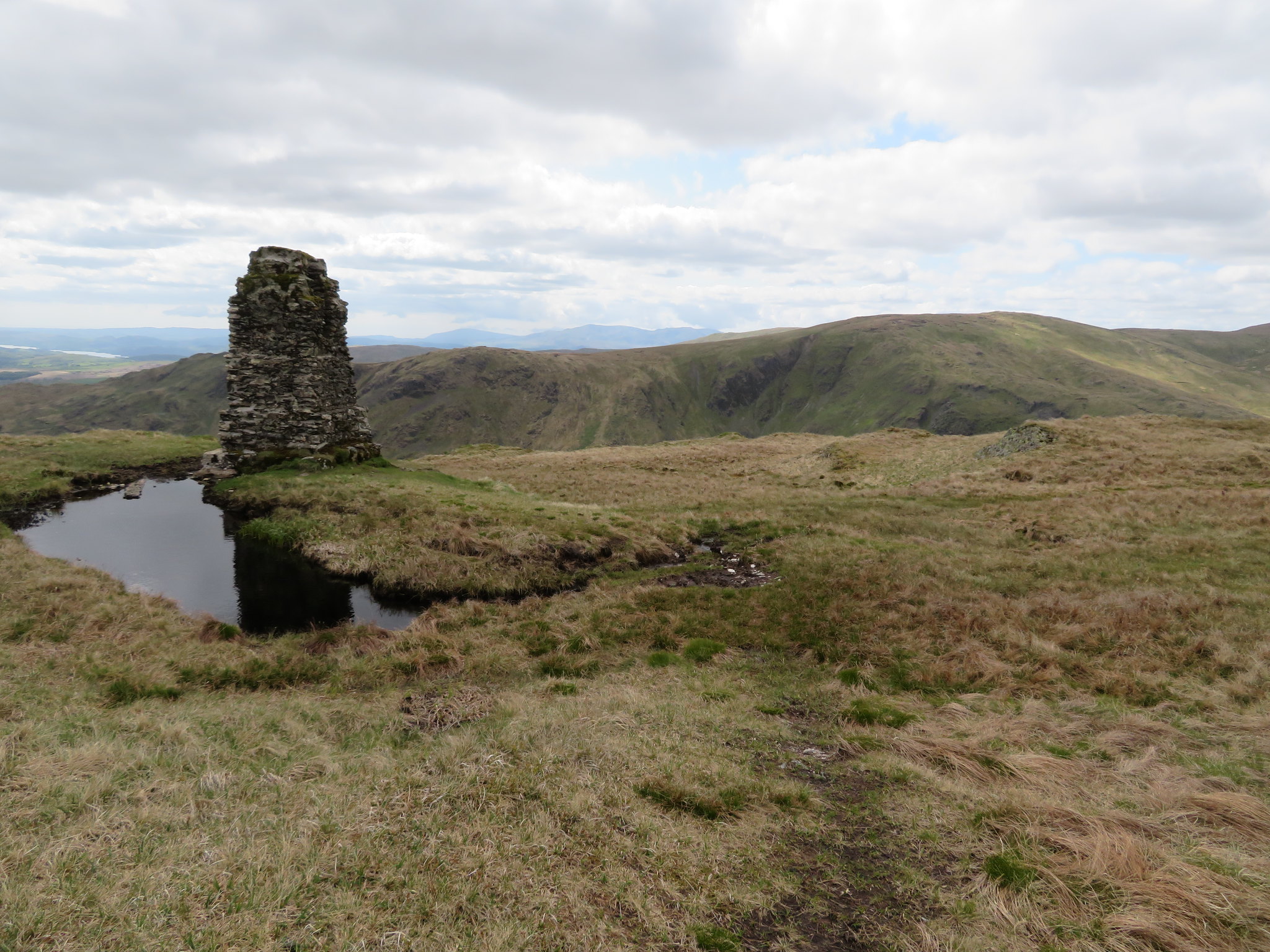 Kentmere Pike - Shipman Knotts - Coniston Fells
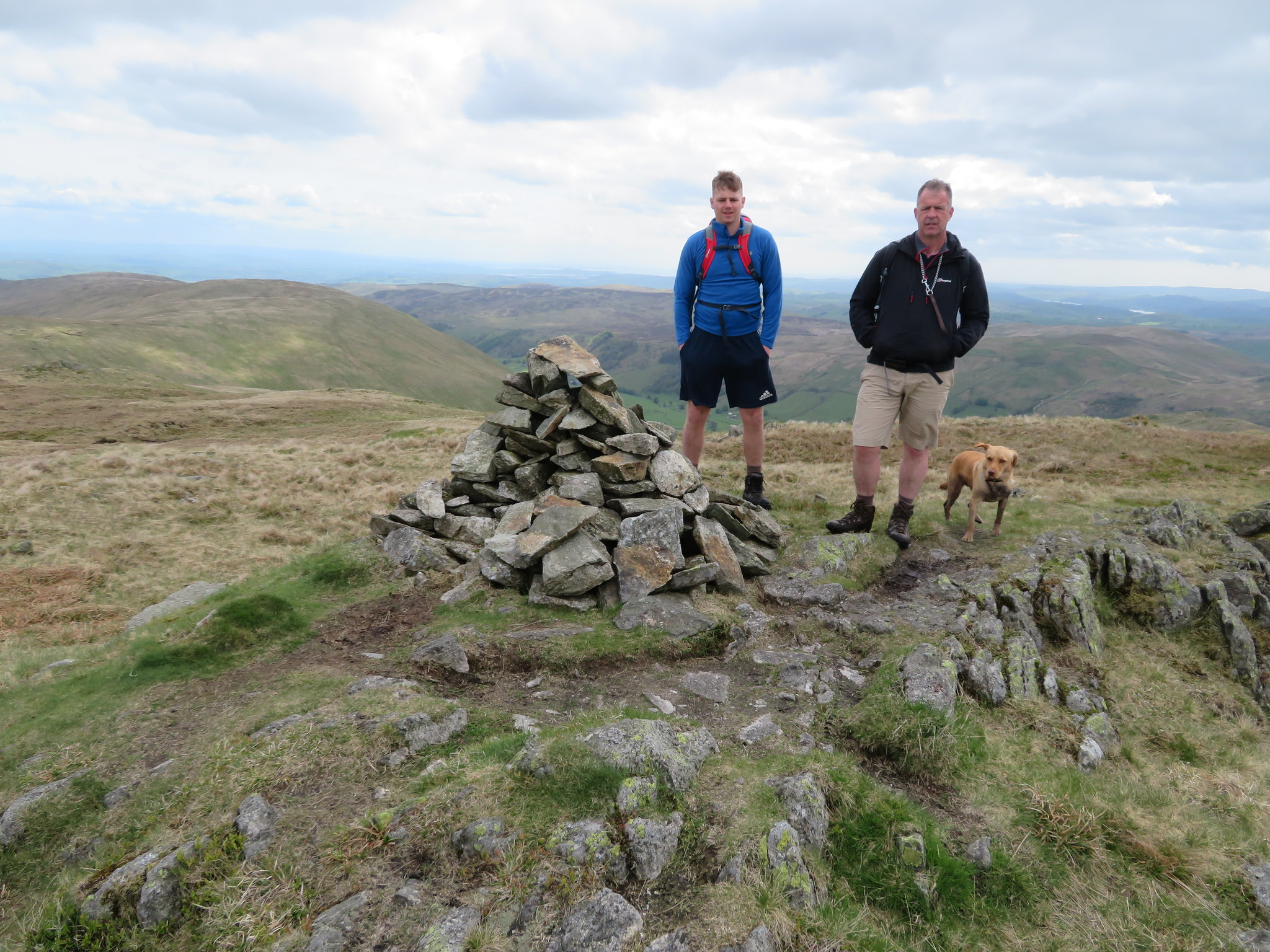
 From the column we moved on to the summit proper where a pile of stones are sat on a small up thrust of rock and where my walking partner was awaiting his next submission into his photo album and his Facebook page.
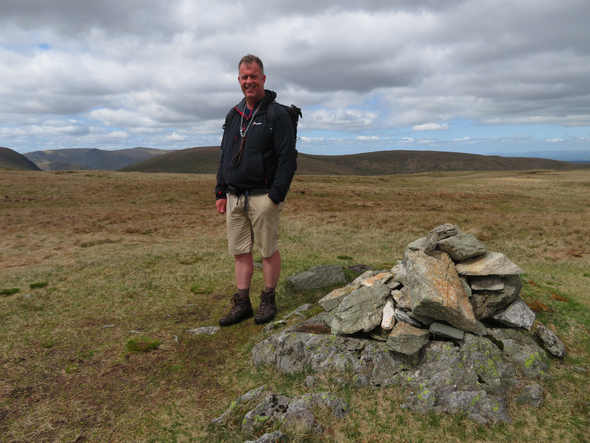 Tarn Crag cairn
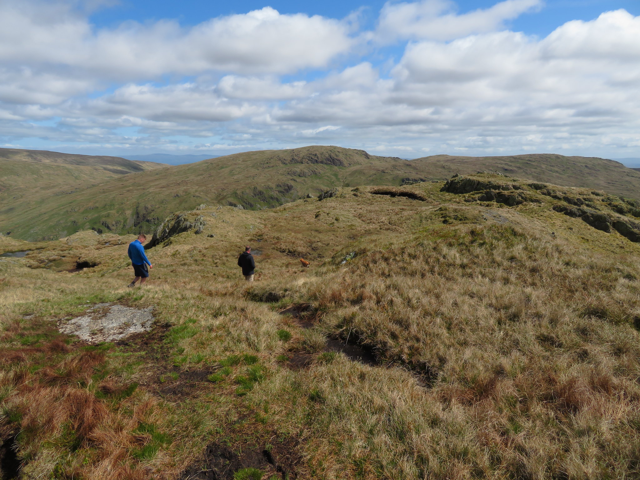
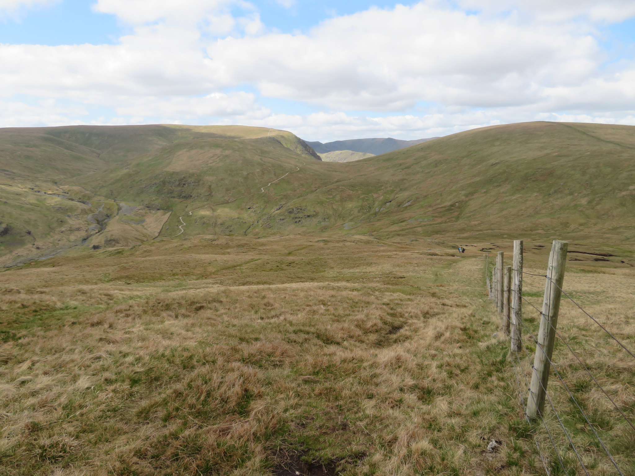
 We were now going to head for Harrop Pike a small outcrop of rock hosting a large currick and at 637 metres in height looks over Mosedale and the fells to the west of the valley. The currick can be seen from Tarn Crag summit and looks a long way away and is only a speck on the skyline but to get there we have to make our way towards Grey Crag by first taking a path to the northeast until the fence is met and then following that down southeast into Greycrag Tarn and out the other side still following the fence as it now turns off to the northeast again.
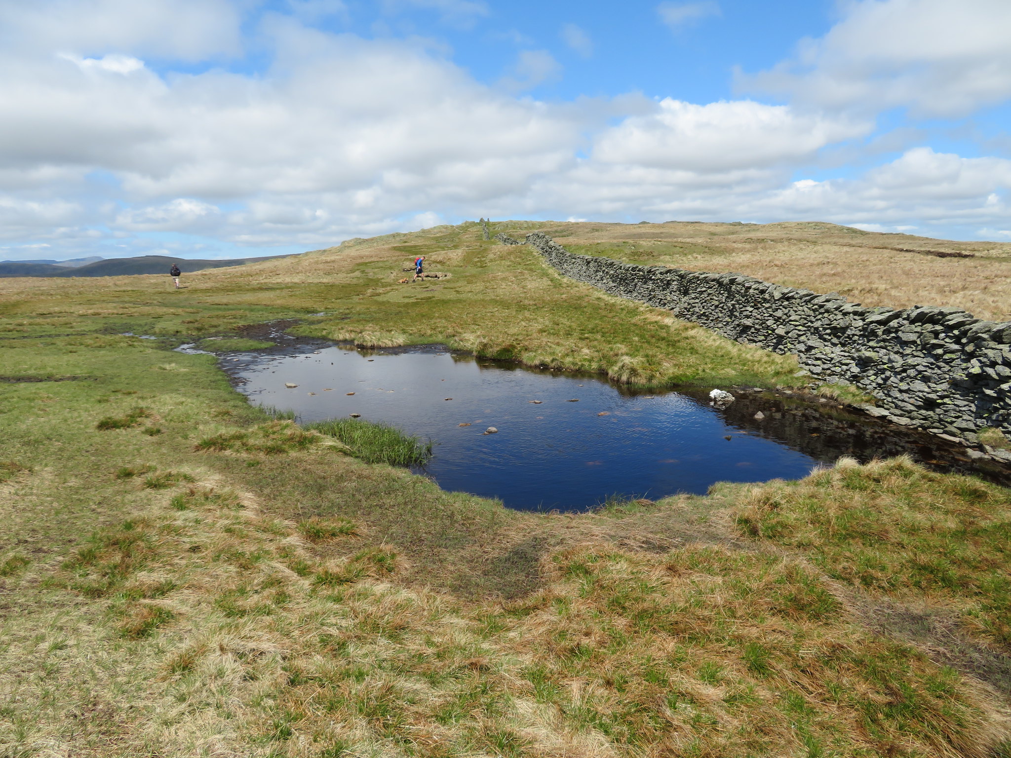
Greycrag Tarn is no longer a tarn although many years ago it quite likely was. When I first came this way around 15 years ago the place was dreadful, wet and boggy and a place to avoid if possible but over the years and after several trips this way the ground has slowly but surely dried out until today it is only the very lowest area that is wet and boggy but with care even this can be negotiated without getting wet feet nowadays.
 Grey Crag from Greycrag Tarn
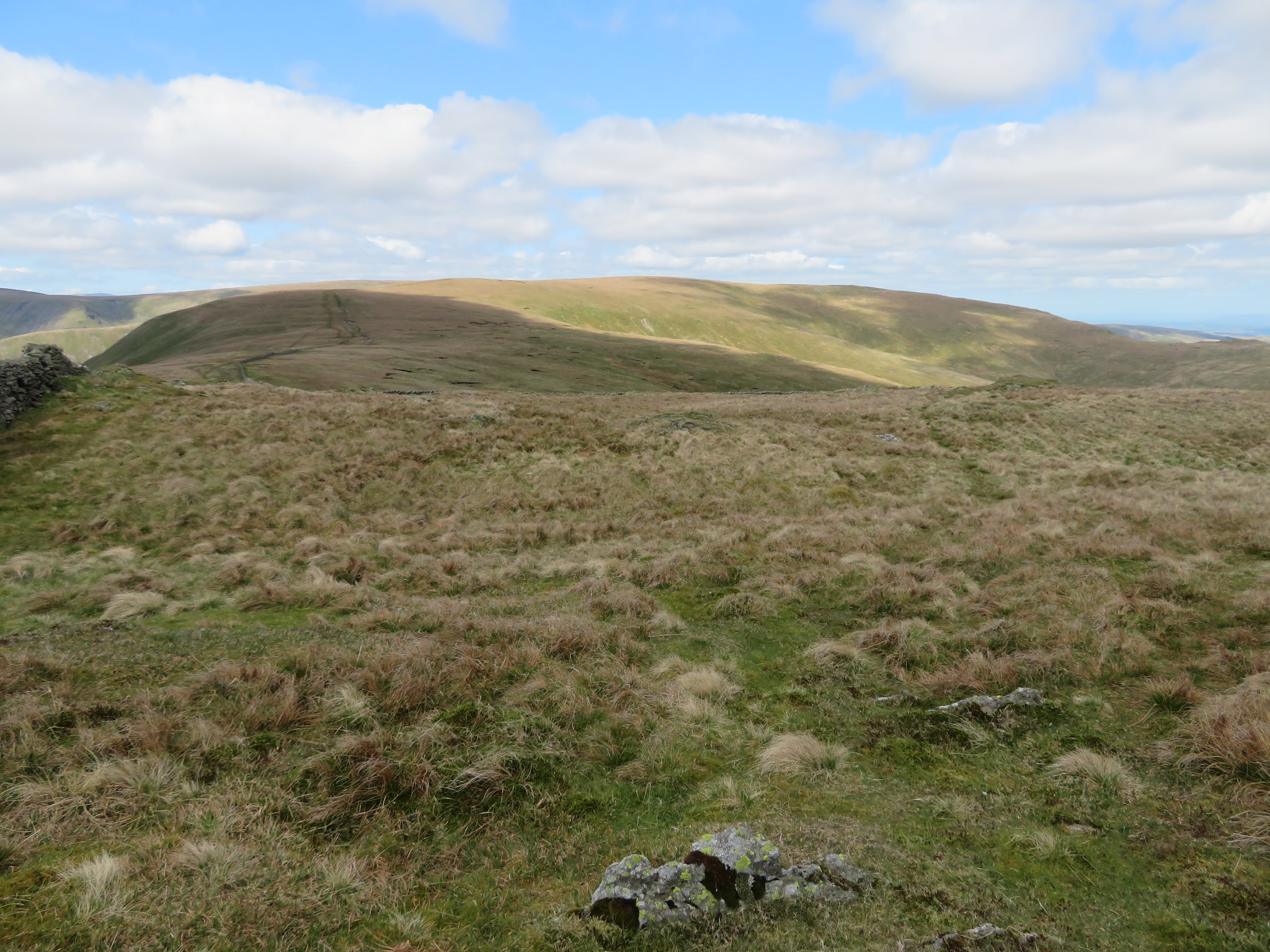
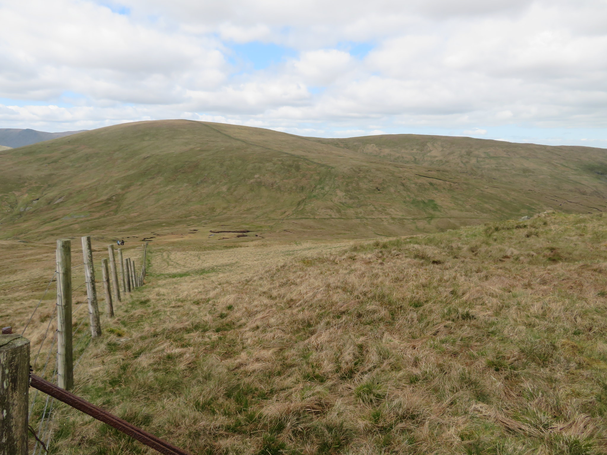
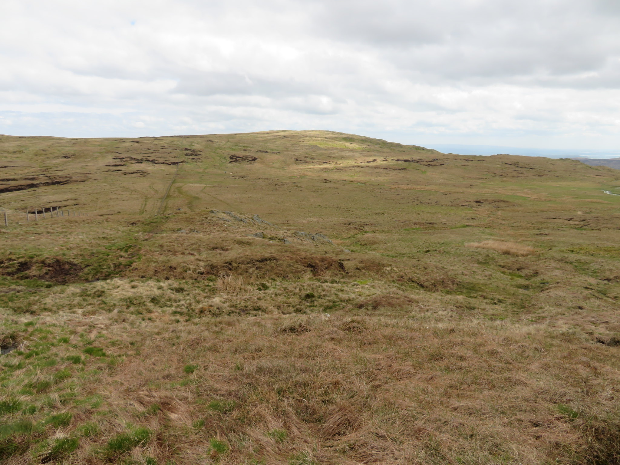
 After climbing part of the way up the north face of Grey Crag we turned with the fence to have Harrop Pike clearly in our sights…
 Harrop Pike ahead
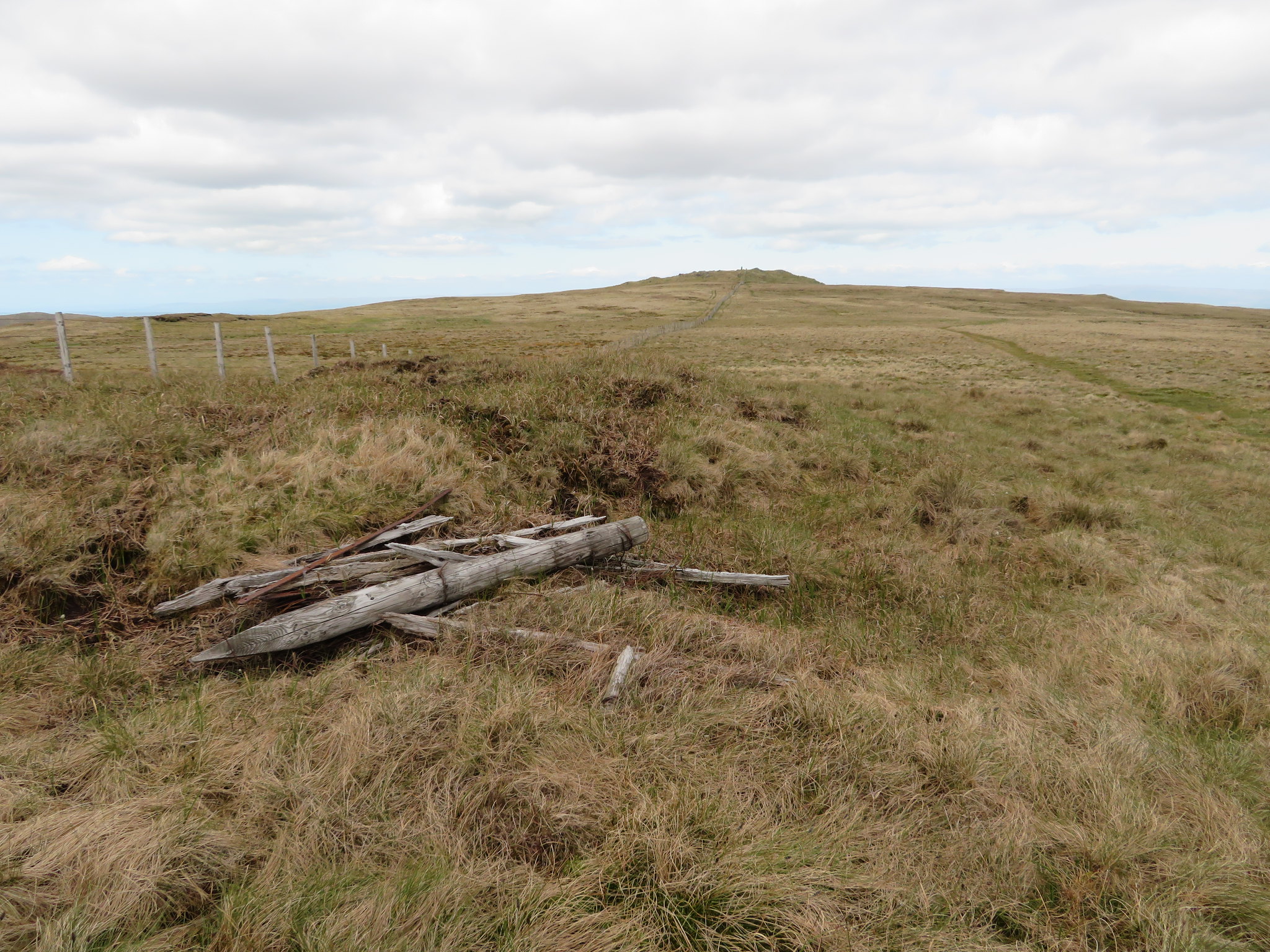
 with an easy stroll over grass along a damp and green path that has one wet area of moss to catch out the unwary. Within minutes of turning with the fence we were at the currick that is sat precariously on a small up thrust of vertically pointing slices of rock.
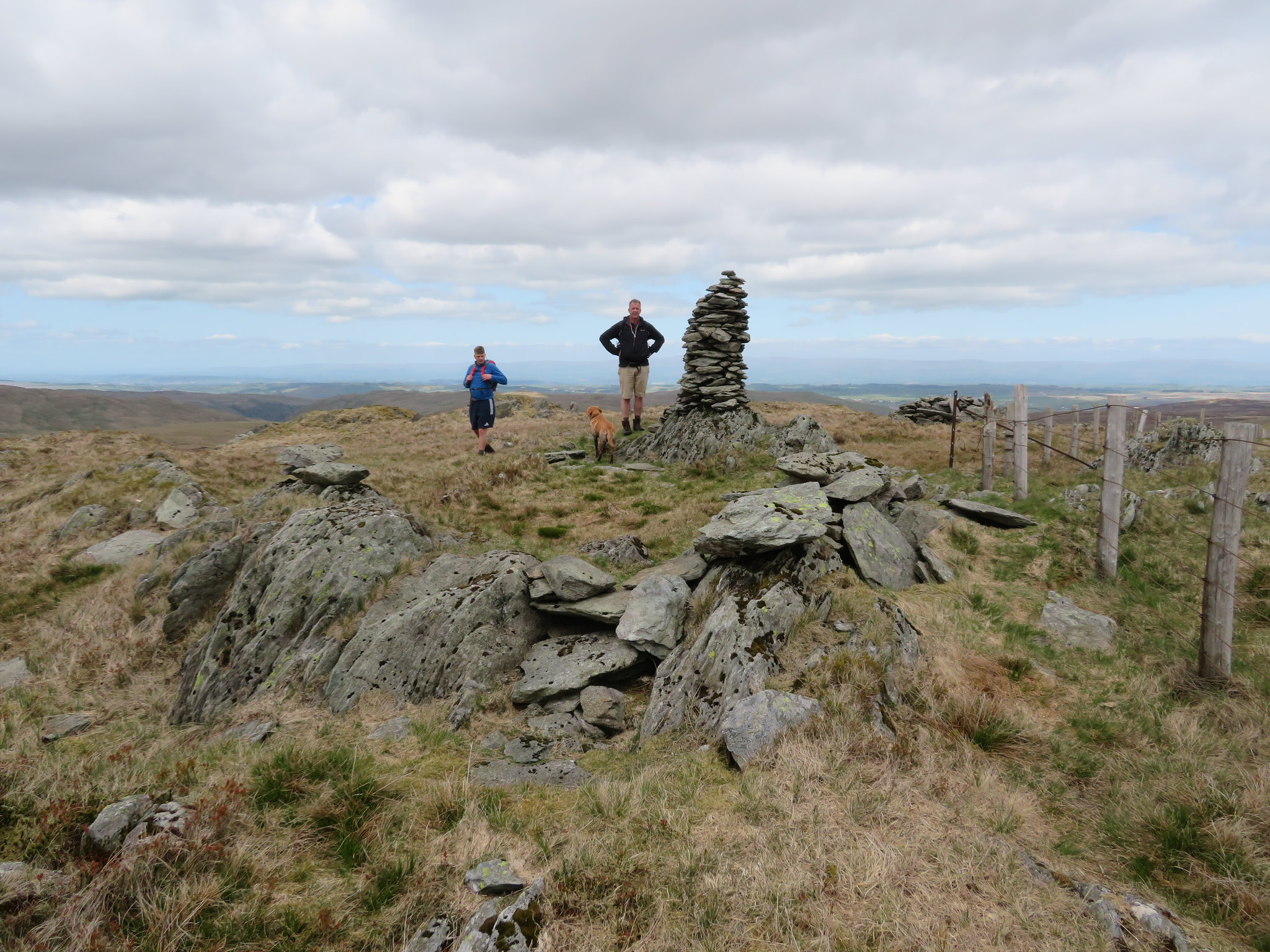 Harrop Pike
 Harrop Pike is a Birkett, one of a ring of many that sit on the high fells that surround Mosedale and Swindale Common and a decent walk can be had by parking up at Wetsleddale Reservoir and taking the Grouse Butts track straight from the car park.
Today Harrop Pike was a place to linger as we hunkered down behind the shelter of the stone pillar out of the cold breeze. It was quiet and peaceful with the only sounds being the wind, curlews, and skylarks.
 Back to Grey Crag
 All too soon we realised that we would have to move sometime so with bags back on backs we set off back by the way that we had arrived here and made our way now to the summit of Grey Crag, a large grassy top with its cairn sat on grass that looked like a tattered brown and green cloak barely covering the stone below it.
 Grey Crag
 Our mission is nearly over as we set off to bag Chris's last summit of the day, Great Howe, another Birkett.
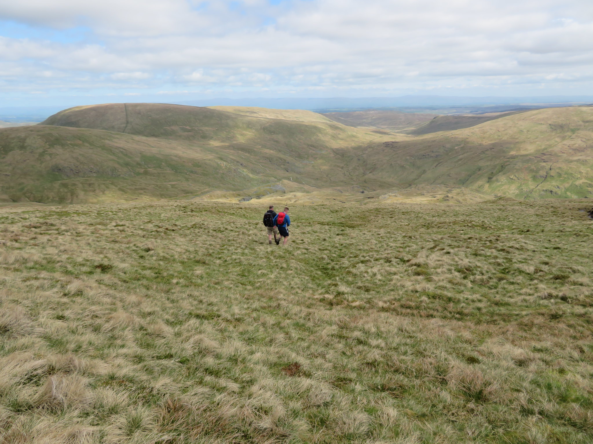
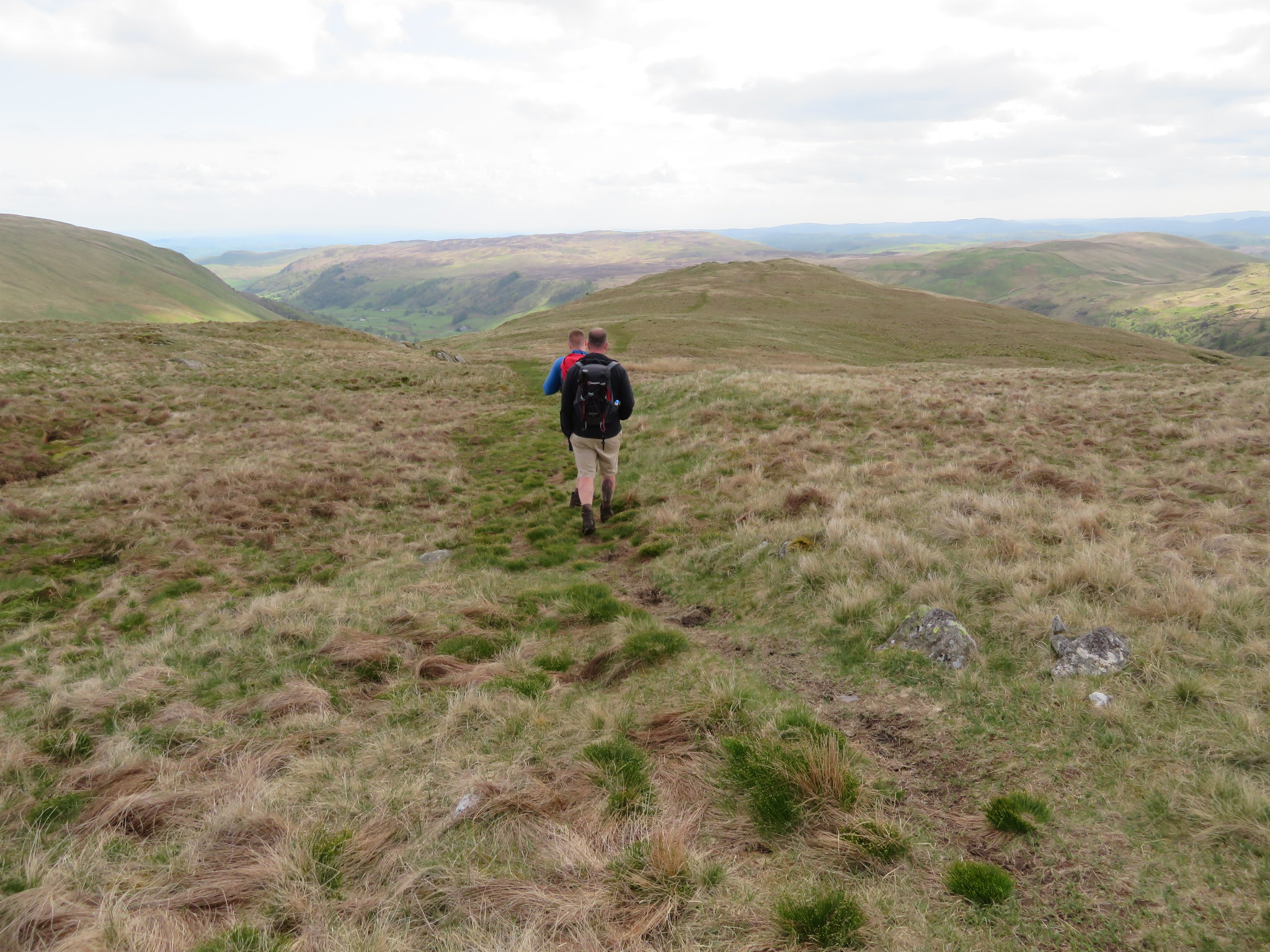
 Dropping off Grey Crag for Great Howe
 Great Howe was way below us but we followed decent enough paths to it and made steady progress down the fellside to soon approach the large grassy hill with its many rocky knolls. There is also one of the stone survey columns on this fell but we didn't bother going to it. Seen one you've seen 'em all.
 Great Howe ahead
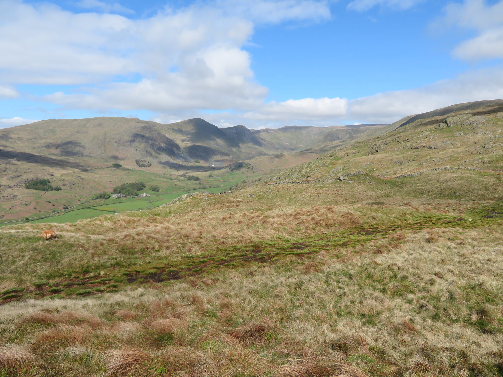
 From this hill there are fantastic views both ways along Longsleddale.
 North of Sadgill from Great Howe
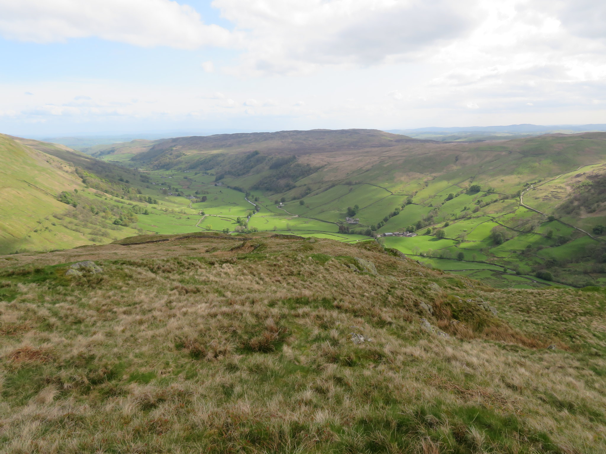 South of Sadgill from Great Howe
 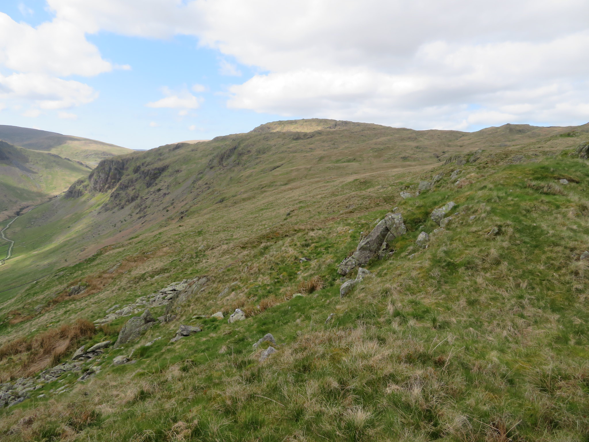 Tarn Crag from Great Howe
 There is a good path from Great Howe down to Sadgill, one that I have used before but today for some reason I missed it taking a right turn below the crag of Great Howe instead of left, a path that ran out of steam part way down the fell and found us working our way through and around the many small crags and rocks that litter the west face of this fell. Fairly slow going and a walk to the north before dropping off to the west again found us arriving on the grass of the field…
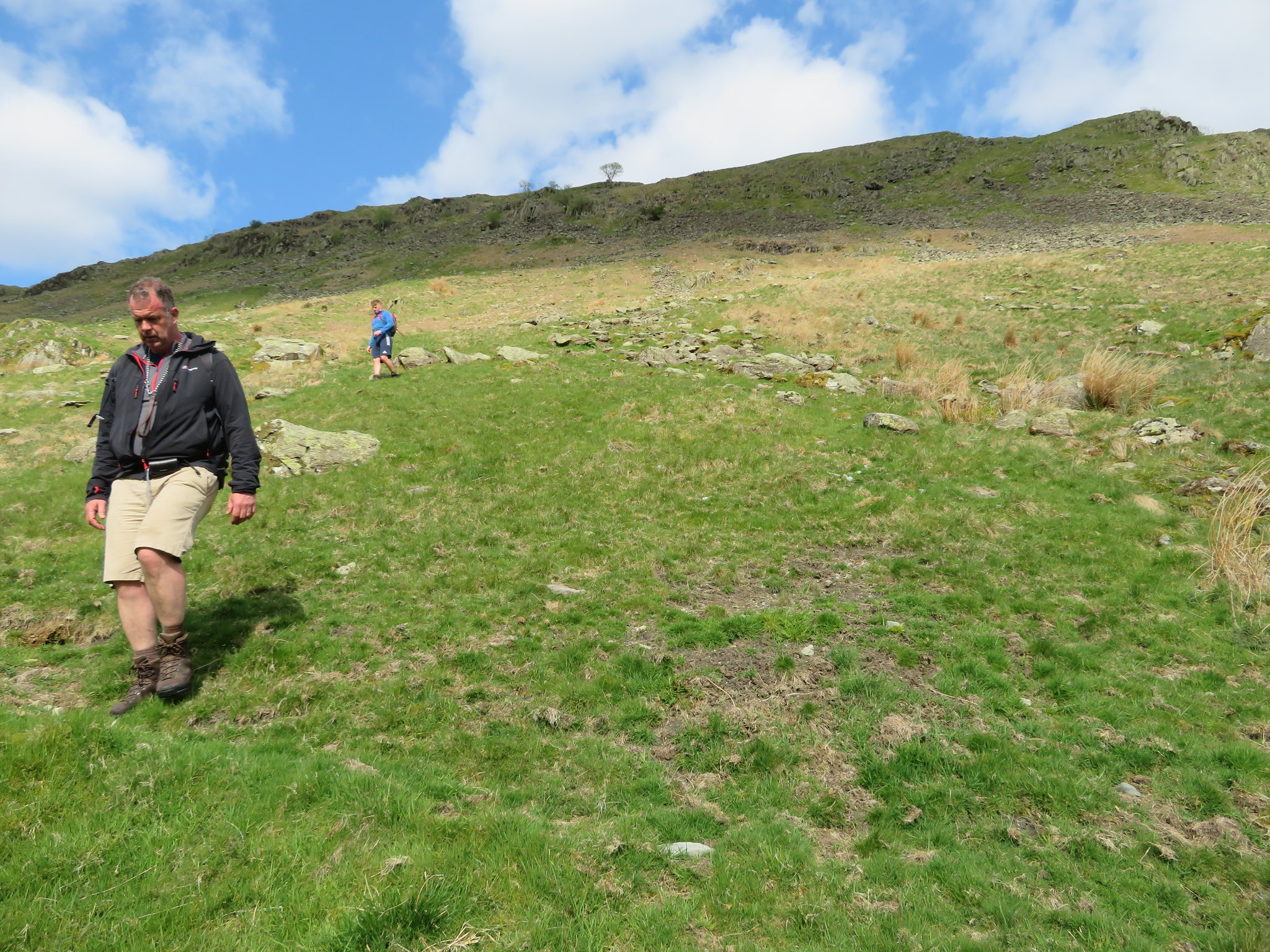 Descending the fell below Great Howe
 below us from where a short walk along the track had us back at the car where the talk immediately turned to where we were going to call for a well earned livener or two, as they were the nearest and we had to pass them anyway any of the ones at Shap won the day.
A great day for a walk, dry and sunny that made it warm, nay hot going when walking in sheltered conditions, but cold enough to don another layer when out in the open. The paths were exceptionally dry today in a place where wet ground and bogginess can prevail making for easy walking over steadily inclined ground from start to finish. Chris has but two more of the Far Eastern Fells to do, Wansfell and Place Fell that we will save for later on in the year, or maybe next year.