
Middle Dodd, a starter for seven.
This time onshore Chris, for a change, has landed with good weather and lovely sunny days enhancing the newly formed blooms and leaves of the spring period flowers and trees, and after our walk around Longsleddale last Wednesday today was no different apart from maybe not as cool a breeze as there was then.
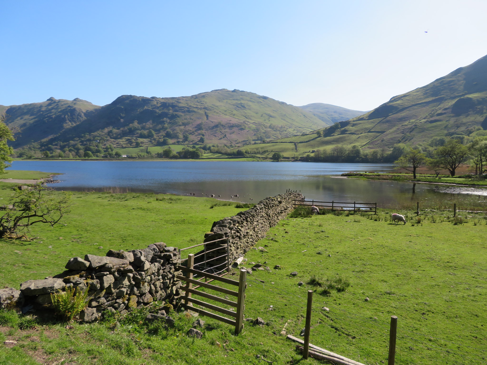
An 8am start and quiet roads soon had us parked up at Cow Bridge at the north end of Brothers Water after a very scenic drive along the shore of Ullswater from Pooley Bridge, a great way to start a day of walking in the Eastern Fells along paths of various gradients both steep and rough, easy and grassy with a combination of all in some places.
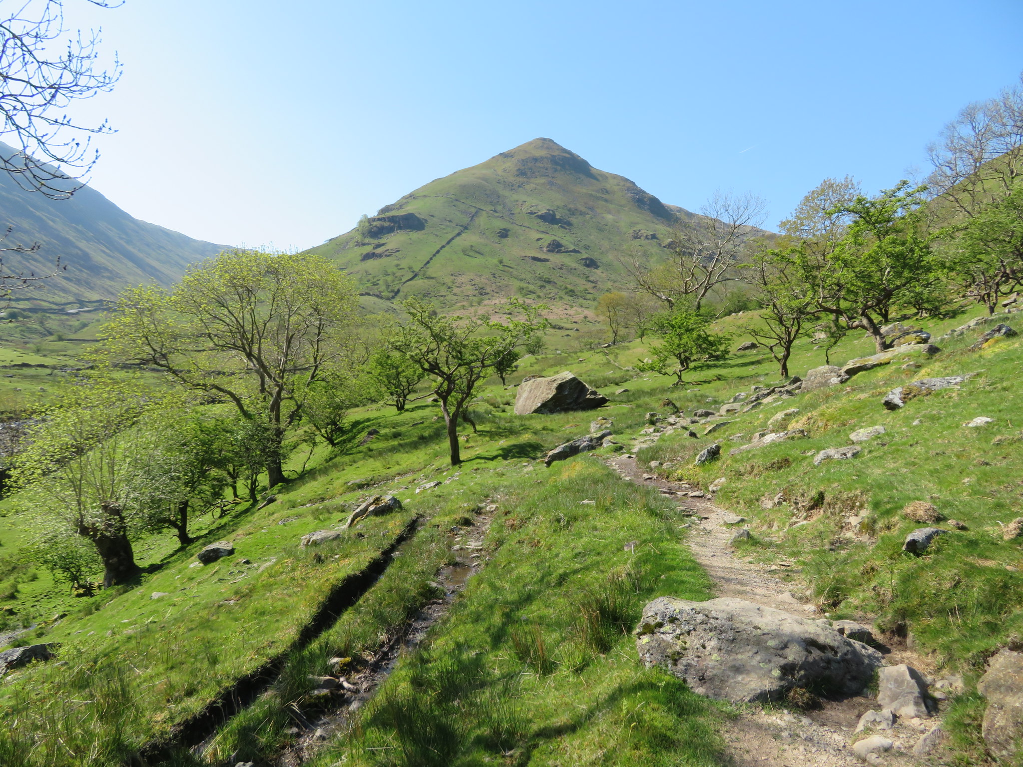
After his usual start of walk snack we set off south along the sun dappled path that first of all accompanies Goldrill Beck to join up with Pasture Beck at the outflow of Brothers Water…
 Brock Crags and Angletarn Pikes - Rest Dodd in the background
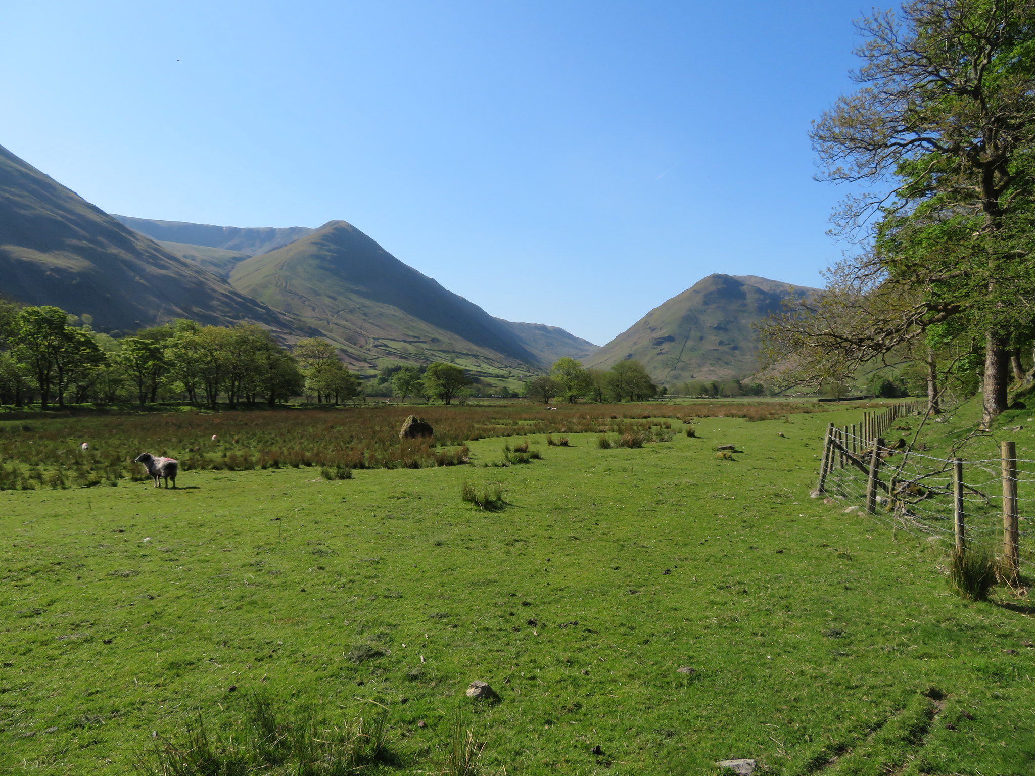
 which we then kept company with until we passed it beneath Cora Crag to then follow the line of Kirkstone Beck by following the path to Hartsop Hall from where we took to the fields and passing an ancient Settlement site at the foot of High Hartsop Dodd.
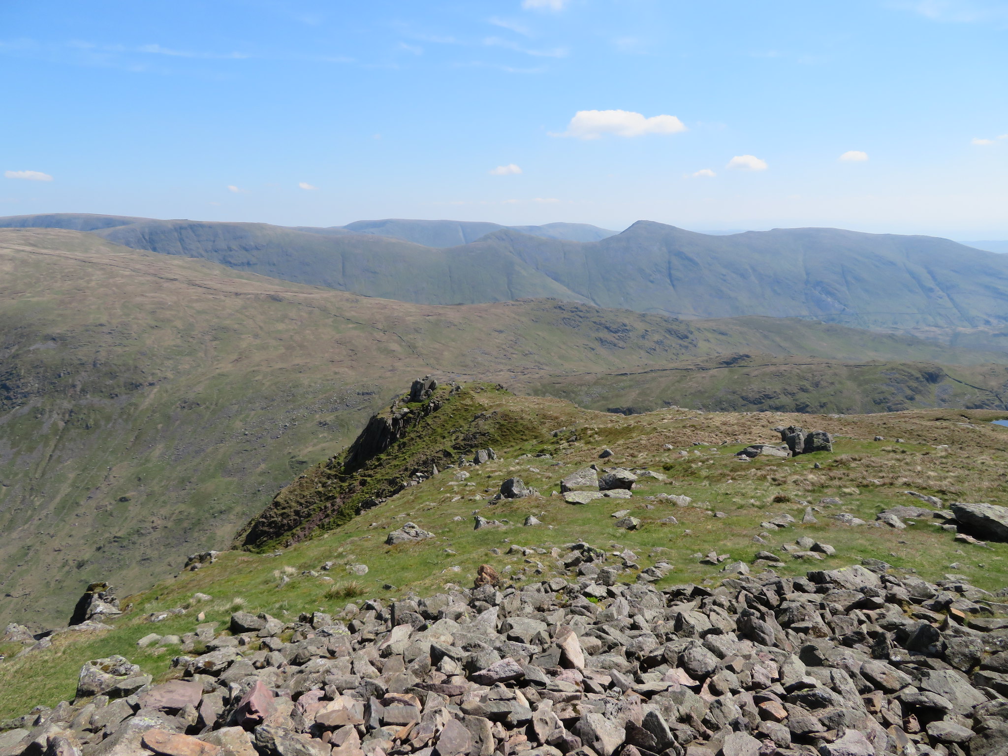
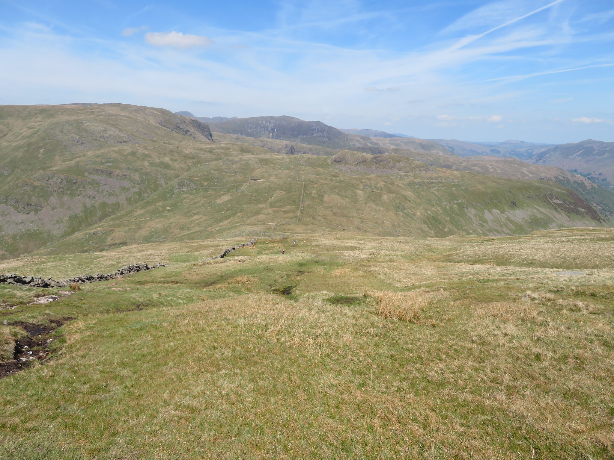
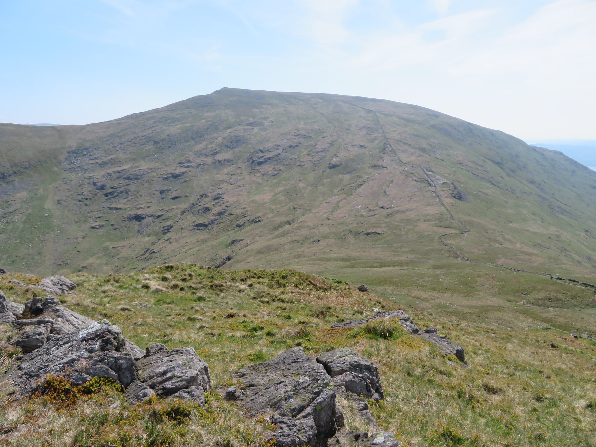
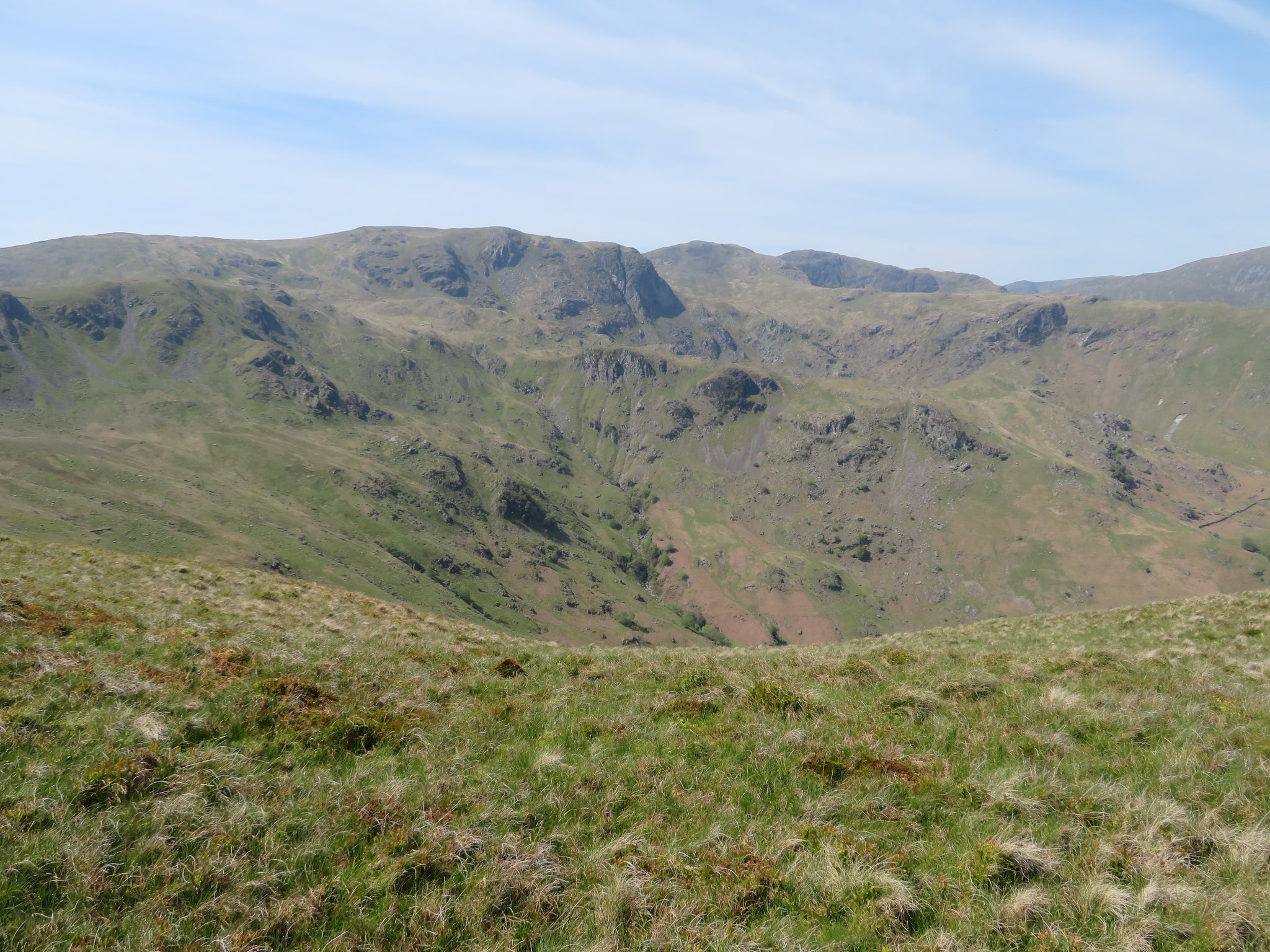
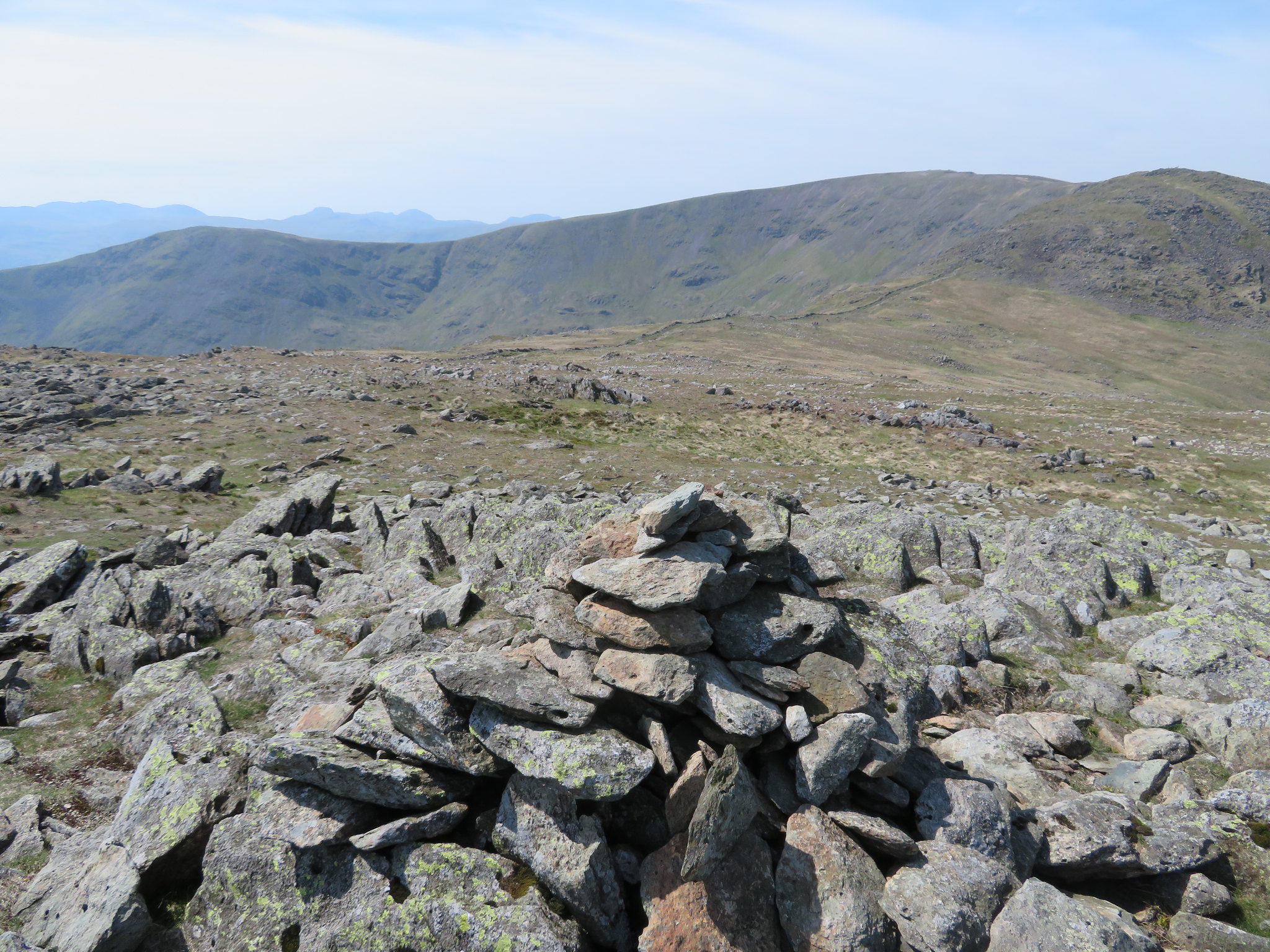
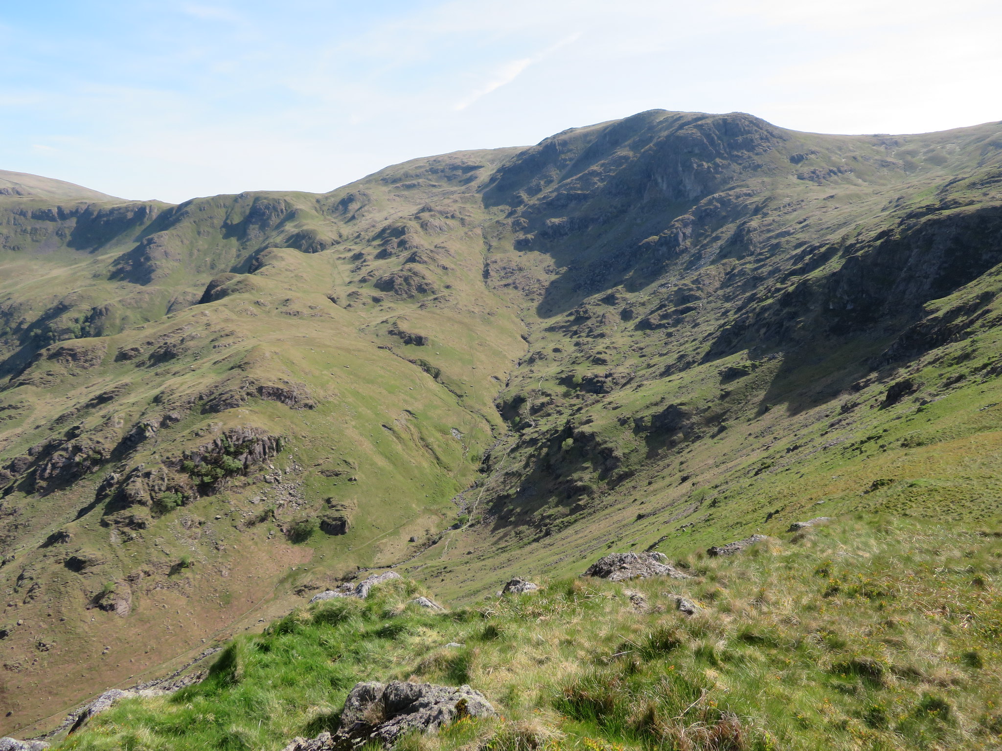
 Middle Dodd - Caudale Moor and Tongue
The next two photos show the similarity between High Hartsop Dodd and Middle Dodd and if you're aiming to climb Middle Dodd just be careful of not getting distracted as it is all too easy to take the first option as the path runs directly to the old barn from where the path for HHD starts and ends depending whether climbing or descending whilst the one for Middle Dodd eases slightly left to continue in a more southerly direction.
 High Hartsop Dodd with Middle Dodd behind
 On the next shot of the two fells the old settlement was located where the small raised ridges are in front of the trees.
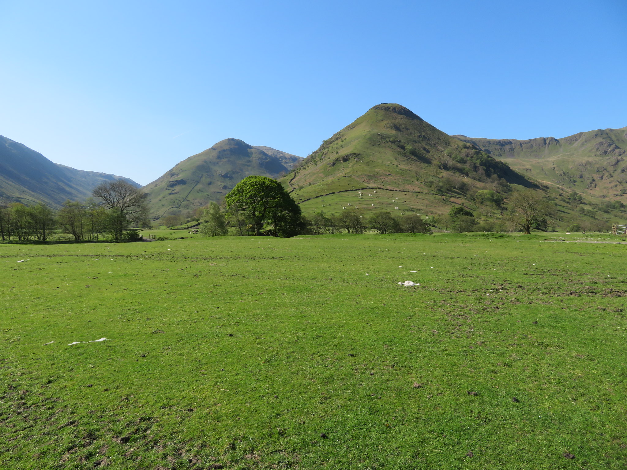 High Hartsop Dodd with Middle Dodd behind
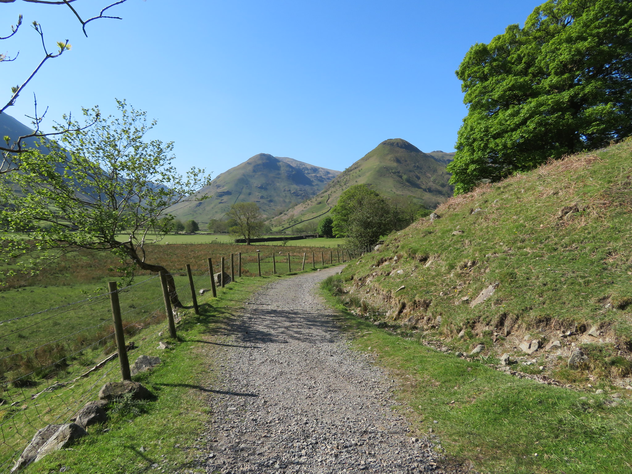
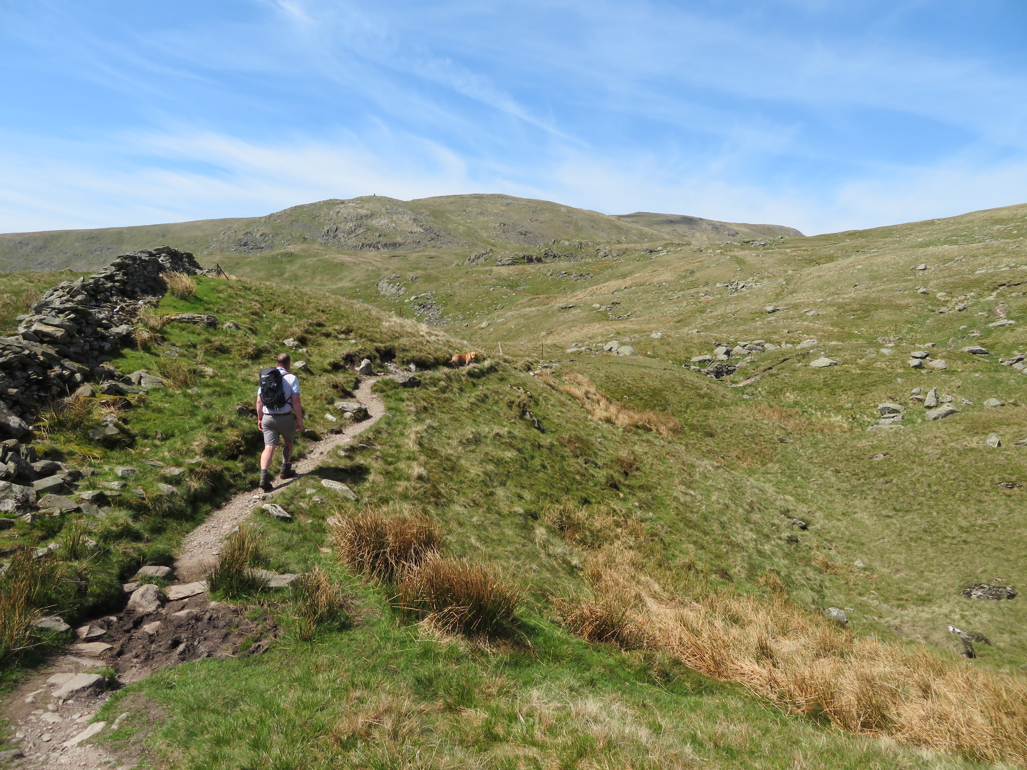
 Once the barn is passed the fields are left behind and we were walking on the open fellside on a good path that meanders around the stunted trees and now our first climb was straight ahead.
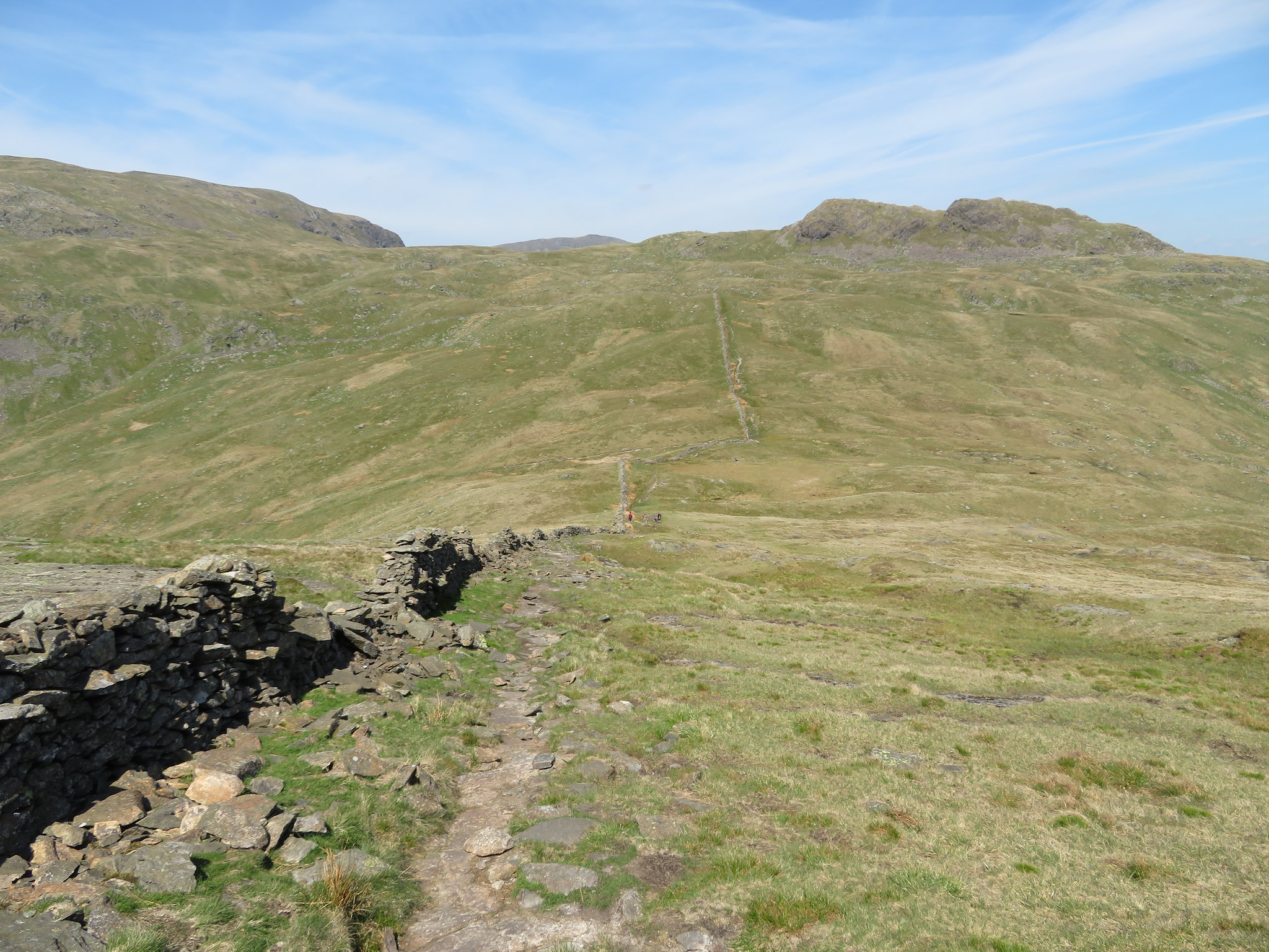
 Middle Dodd
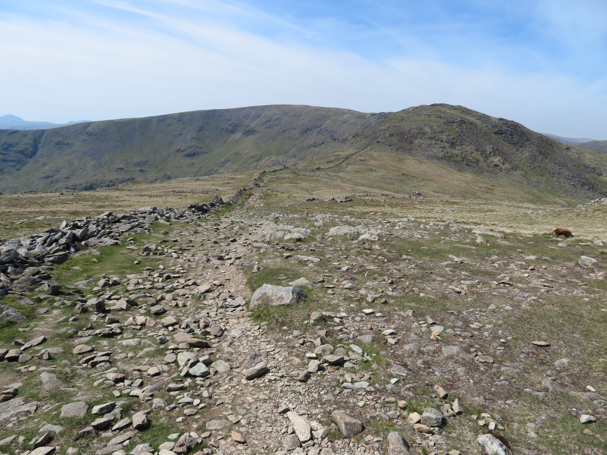
 The path traces the foot of High Hartsop Dodd to branch off to the left again once the Caiston Glen/Scandale Pass path is arrived at, and it is from this point that we began the long climb up the north ridge of Middle Dodd, but first of all we stopped for a long drink and a few minutes rest before tackling this awesome and long steep climb.
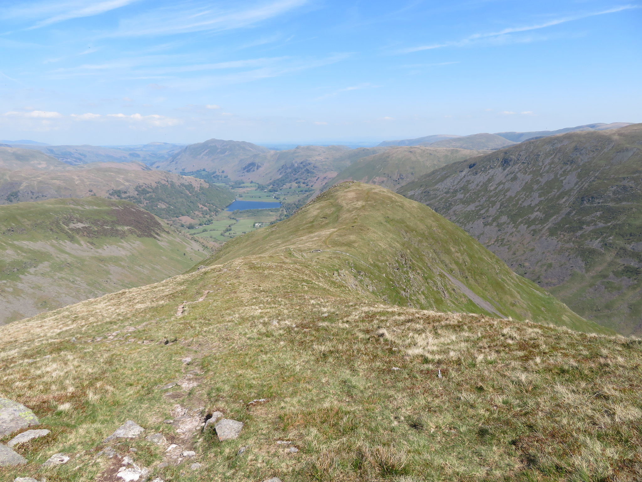
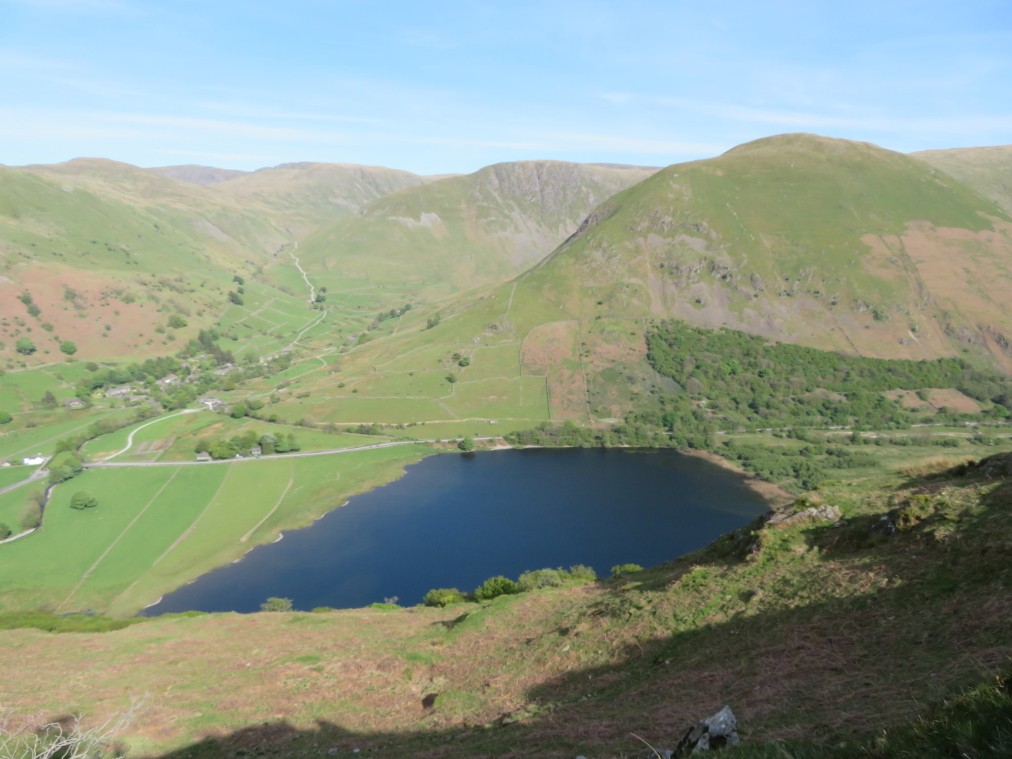
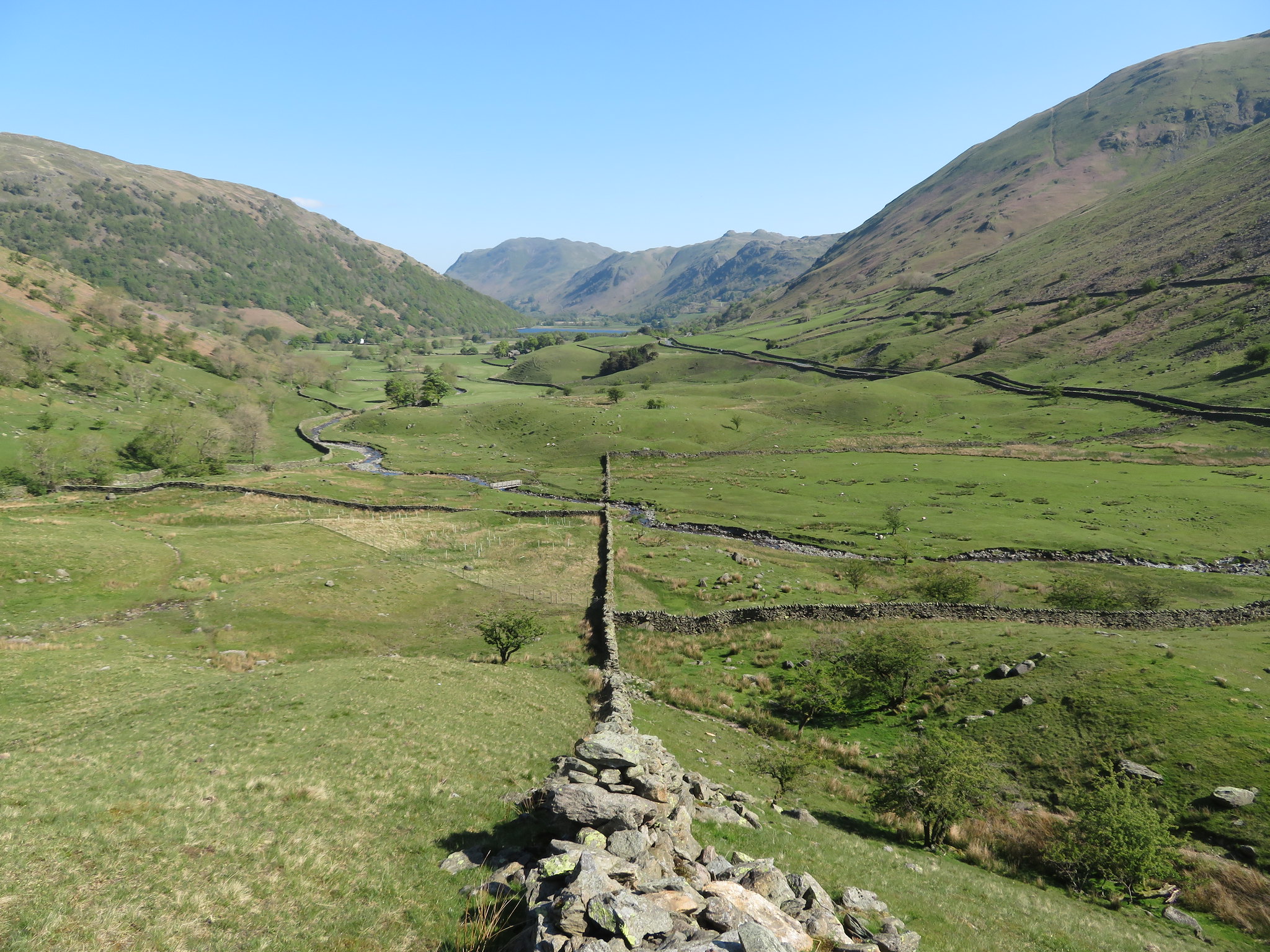 Looking back to Brothers Water from the foot of Middle Dodd
 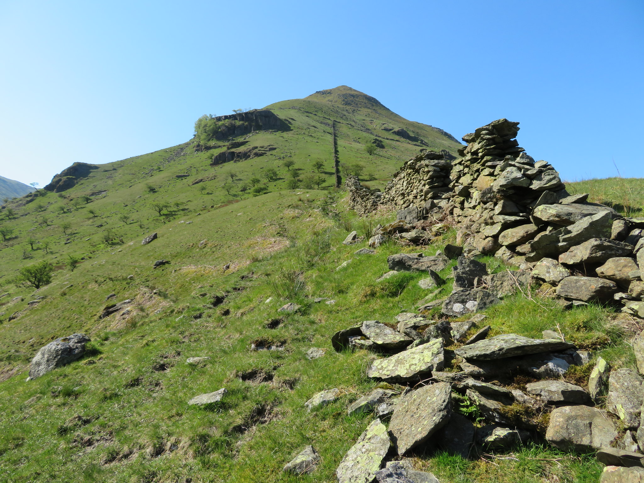 A long and steep climb ahead
The weather was glorious with not a breath of moving air, something that we would have been glad of as we started up the fell by first of all following the tumbledown wall to our right along a faint path that only gets more obvious as height is gained. We left the company of the wall just below the unnamed crag to make our way up above it where we took a short break by the broken wall that runs west to east across the fellside. A good spot to take a breather and a photo or two of the valley below leading the eye towards Brothers Water, Place Fell, Angletarn Pikes and the Kirkstone Pass road.
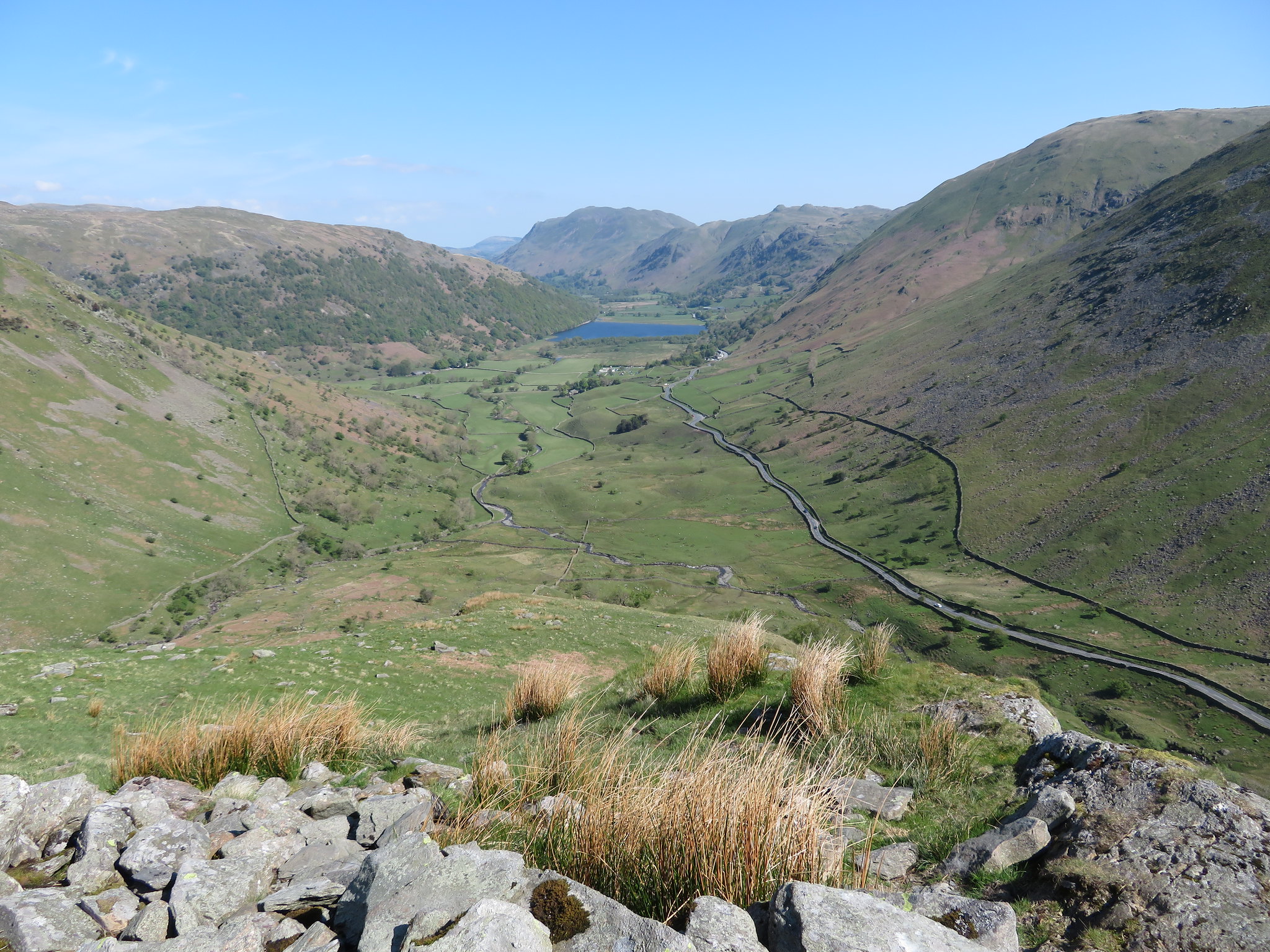 North from the old wall
 Some would question why this way onto these fells, why such a brutal climb in hot weather or any weather at all? Well I've done this round on numerous occasions both ways around and I find that this gets the worst of the climbing over first off. There is no difference in height gain apart from maybe 4 or 5 metres whichever way is used but if going anti-clockwise there is a long uphill walk in along Hartsop above How, the climb up onto Hart Crag by one of the two rough paths, then fair enough a good drop off to Dove Crag and beyond, but, after Scandale Pass is reached there is still a hell of a climb to reach the top of Red Screes. Then when legs are maybe feeling the strain there is the drop off to Middle Dodd and then a really long and steep leg killer of a descent down to the valley bottom followed by a long walk back to the car at Cow Bridge. Going clockwise at least there is a break in climbing between Dove Crag and Hart Crag where the ground eases off somewhat giving the legs a bit of a break before the final easy climb up through the rocks to the summit of Hart Crag.
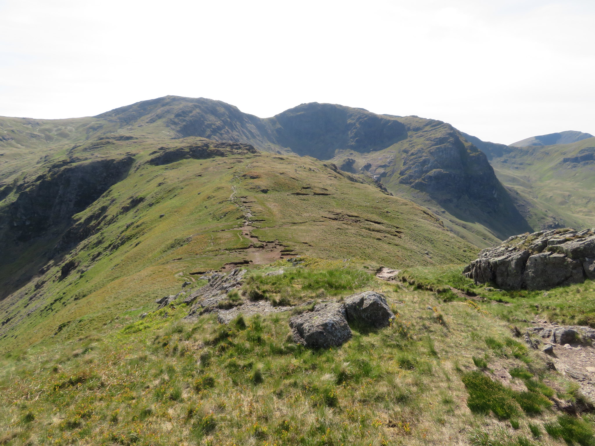
The way up Middle Dodd is fraught with teasers as there are about four false tops before the summit cairn is actually reached each one giving a man an air of euphoria in thinking that this is the one. But no such luck until the cairn is spotted when the ground eases off for the last time before this final top is reached, a final top where there was a couple taking in the views and sun having descended from Red Screes just a few minutes earlier. This is where we stopped for a bite to eat and rehydrate before moving on to higher climes, Red Screes that was sitting right behind us with another 400 feet of climbing to get to the summit, whoopee.
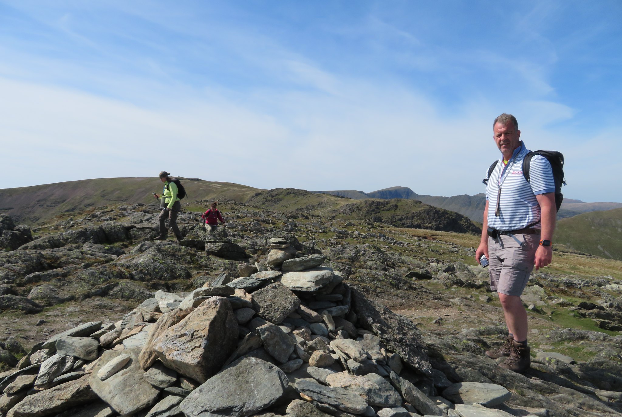
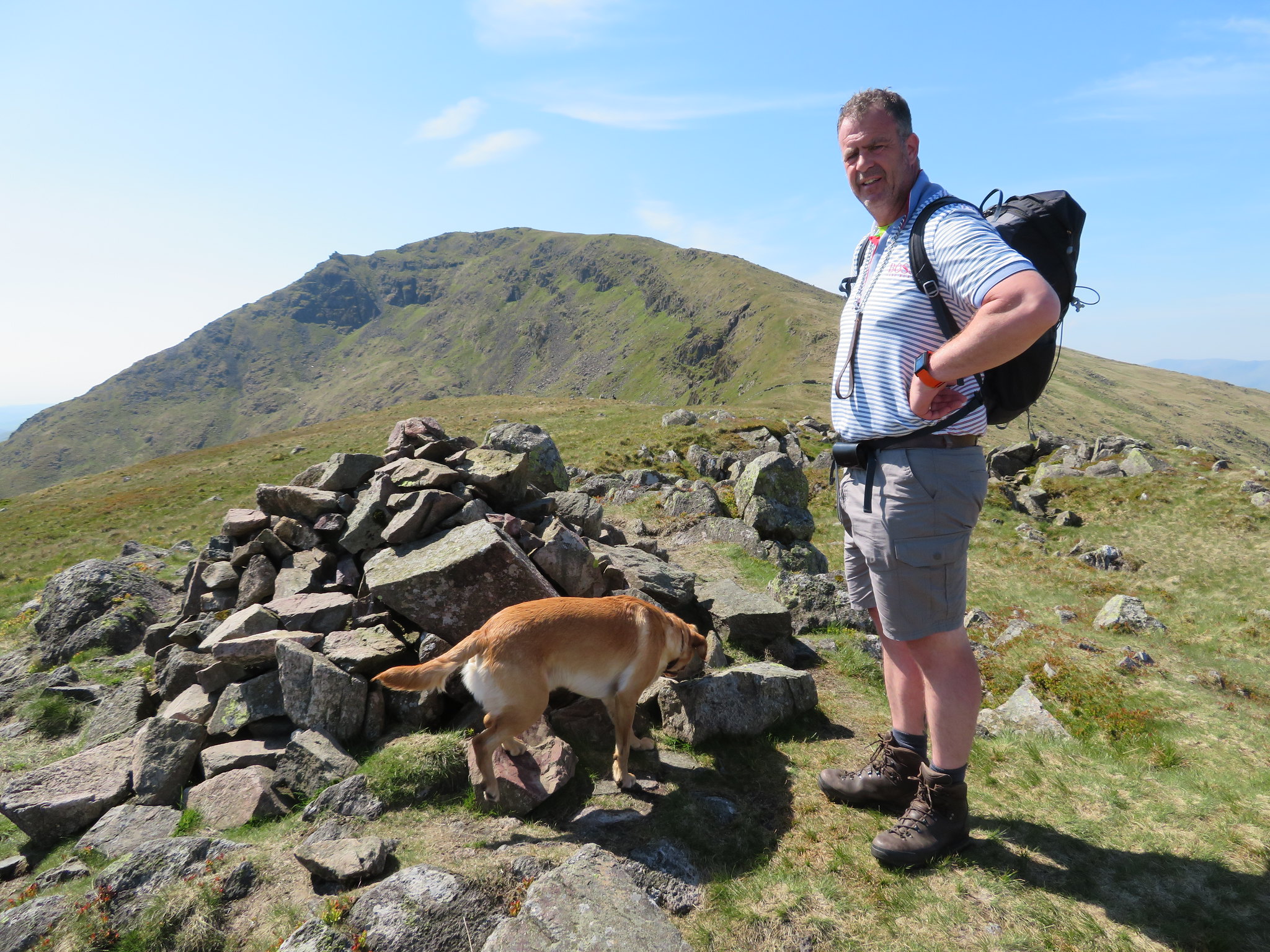 Team Chris and Sonny at Middle Dodd summit
 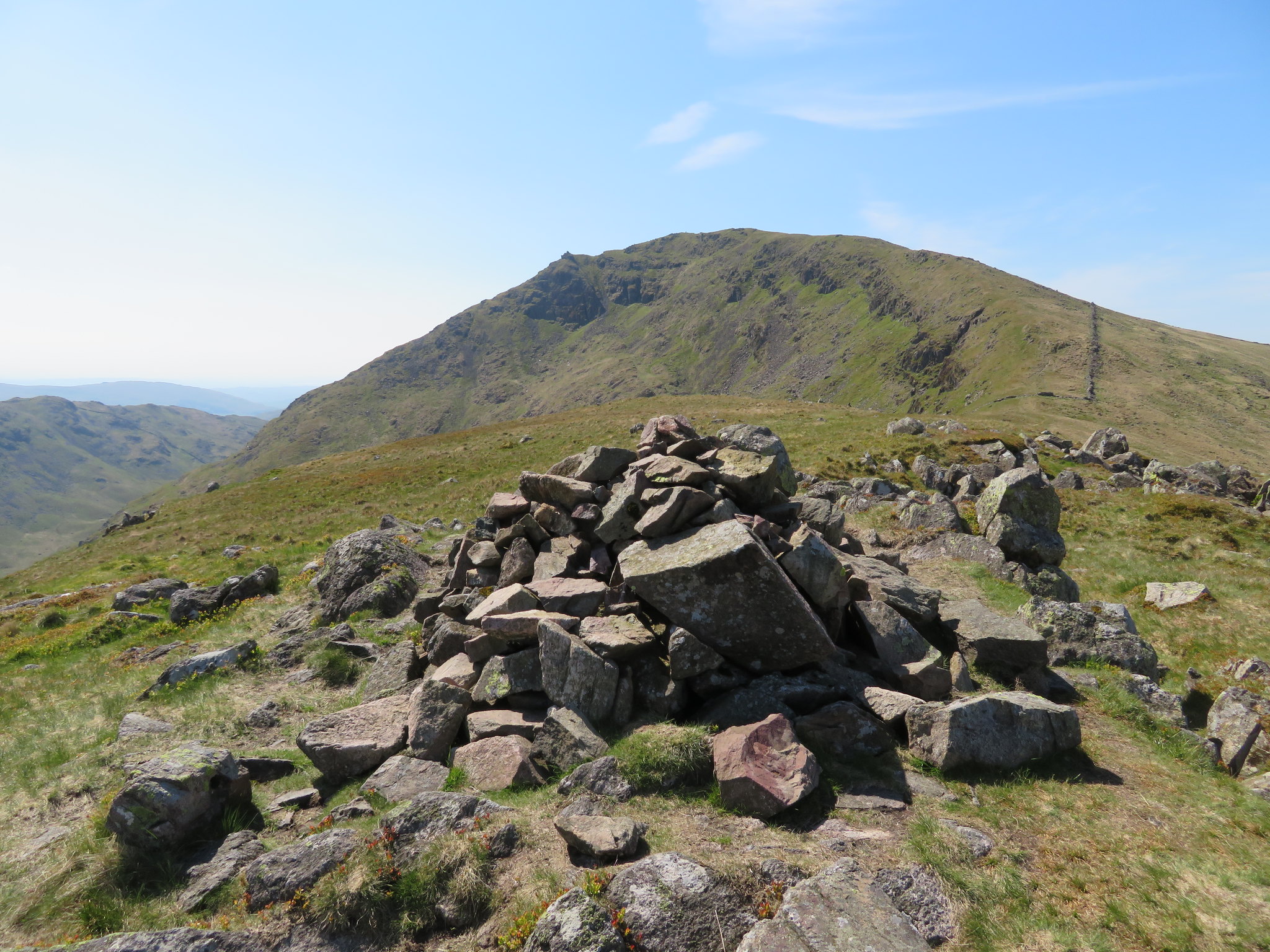 Red Screes from Middle Dodd summit
 We sat in a small hollow to have our refreshments and let the sun dry the perspiration from our brows. Chris was looking at Smallthwaite Band with some trepidation as it marked the path forward alongside the wall climbing up towards the summit but first of all there was the level area of ground to cross giving him enough time to gird his loins for round two of this first part of our walk.
A nice breeze had sprung up, a most welcome friend on this scorcher of a day as we prepared to move on. So far the paths have been good, and now is no exception as they are well walked and easy to follow, as they will be for the rest of the day.
Smallthwaite Band is a rough stony path interspersed with grass and leads directly to the summit of Red Screes…
 Looking north along Smallthwaite Band
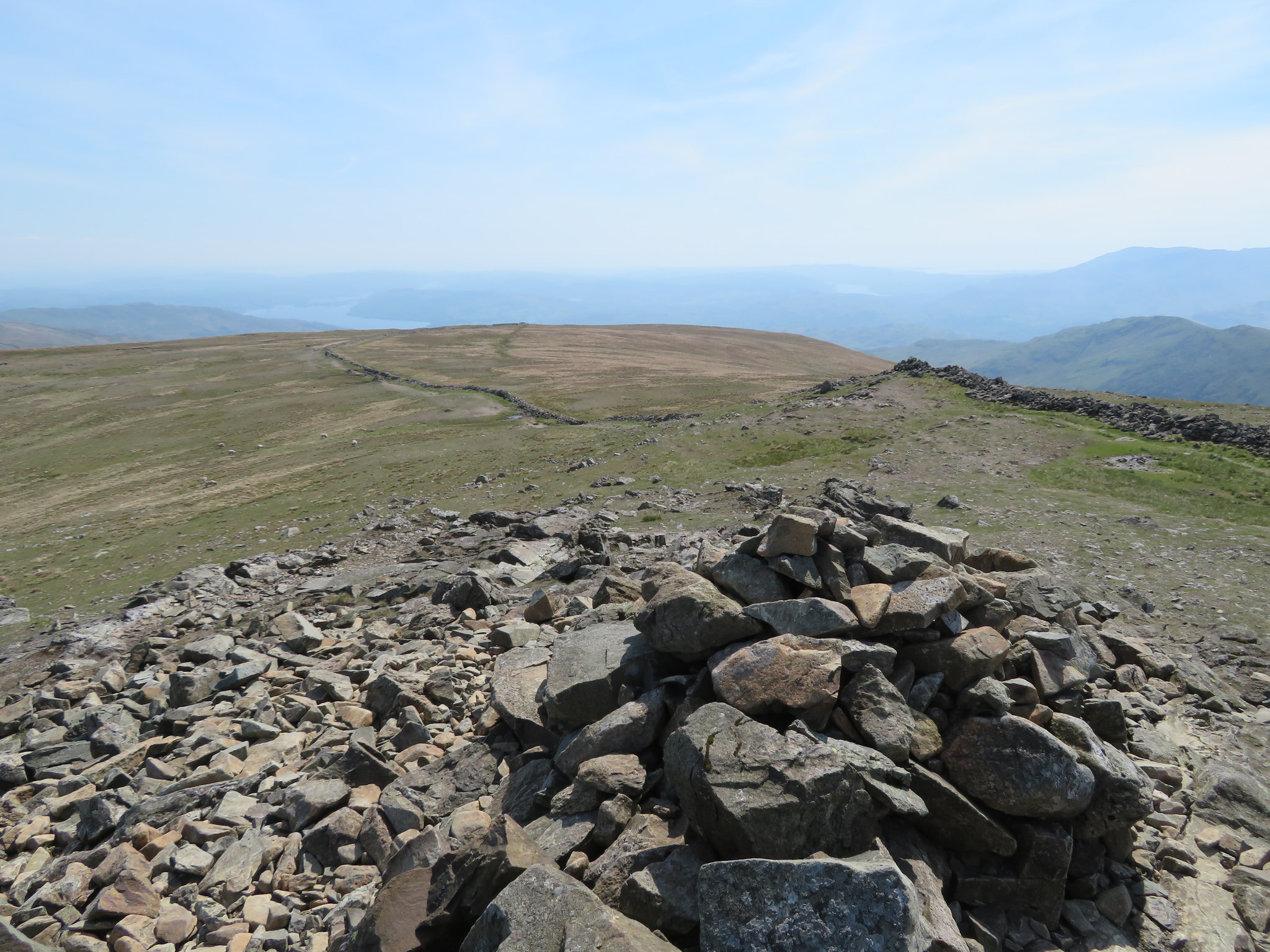
where there is a fairly large cairn and an OS trig column.
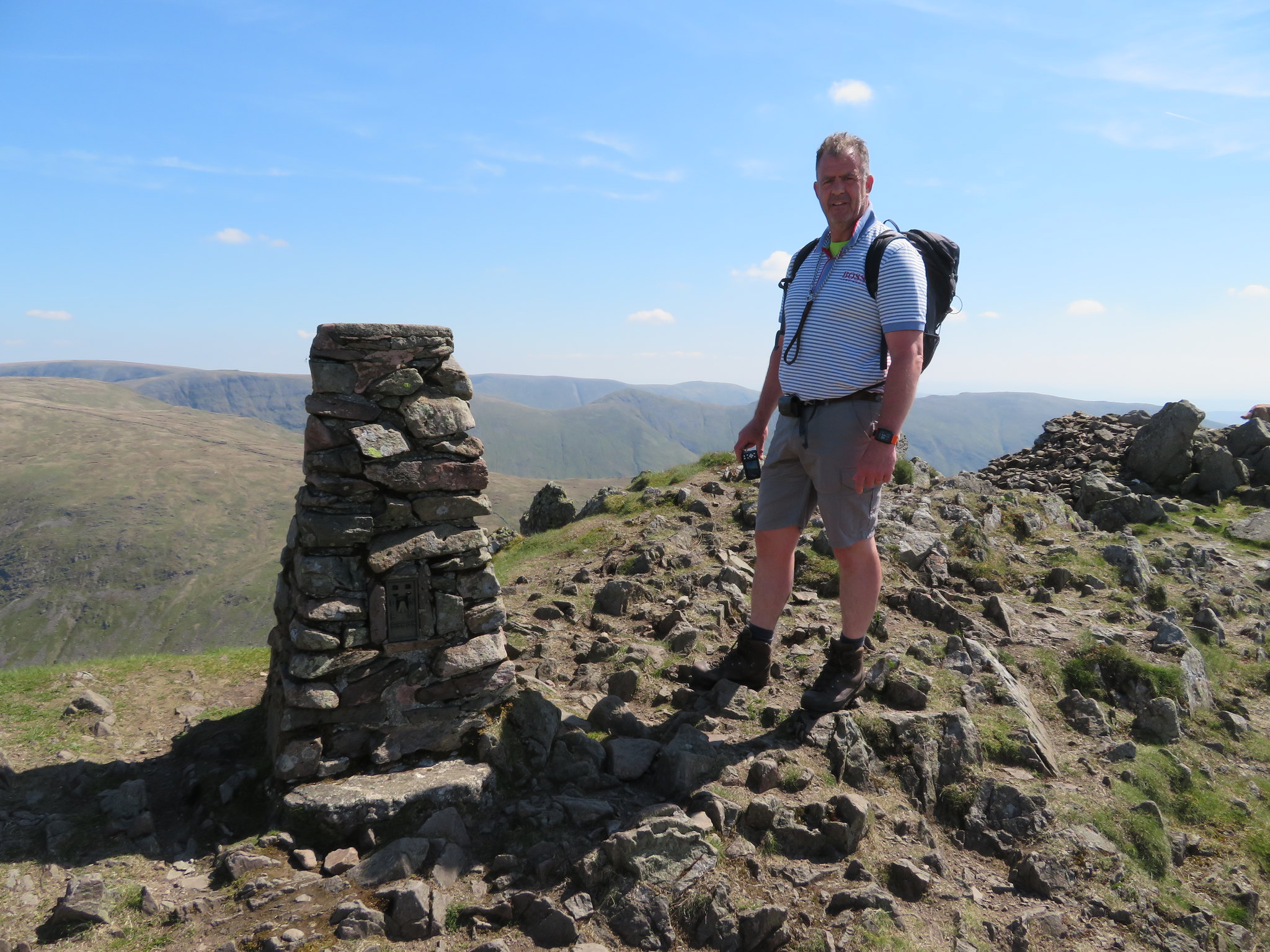 Red Screes trig column
 So far, all the time that we have been climbing the best of the views had been to the north with a bit of west coming in. East has been blocked by the bulk of Caudale Moor but now that we have arrived at this summit the views have widened enormously with a vast panorama of mountains surrounding us.
 The hills of the Kentmere Round from Red Screes
 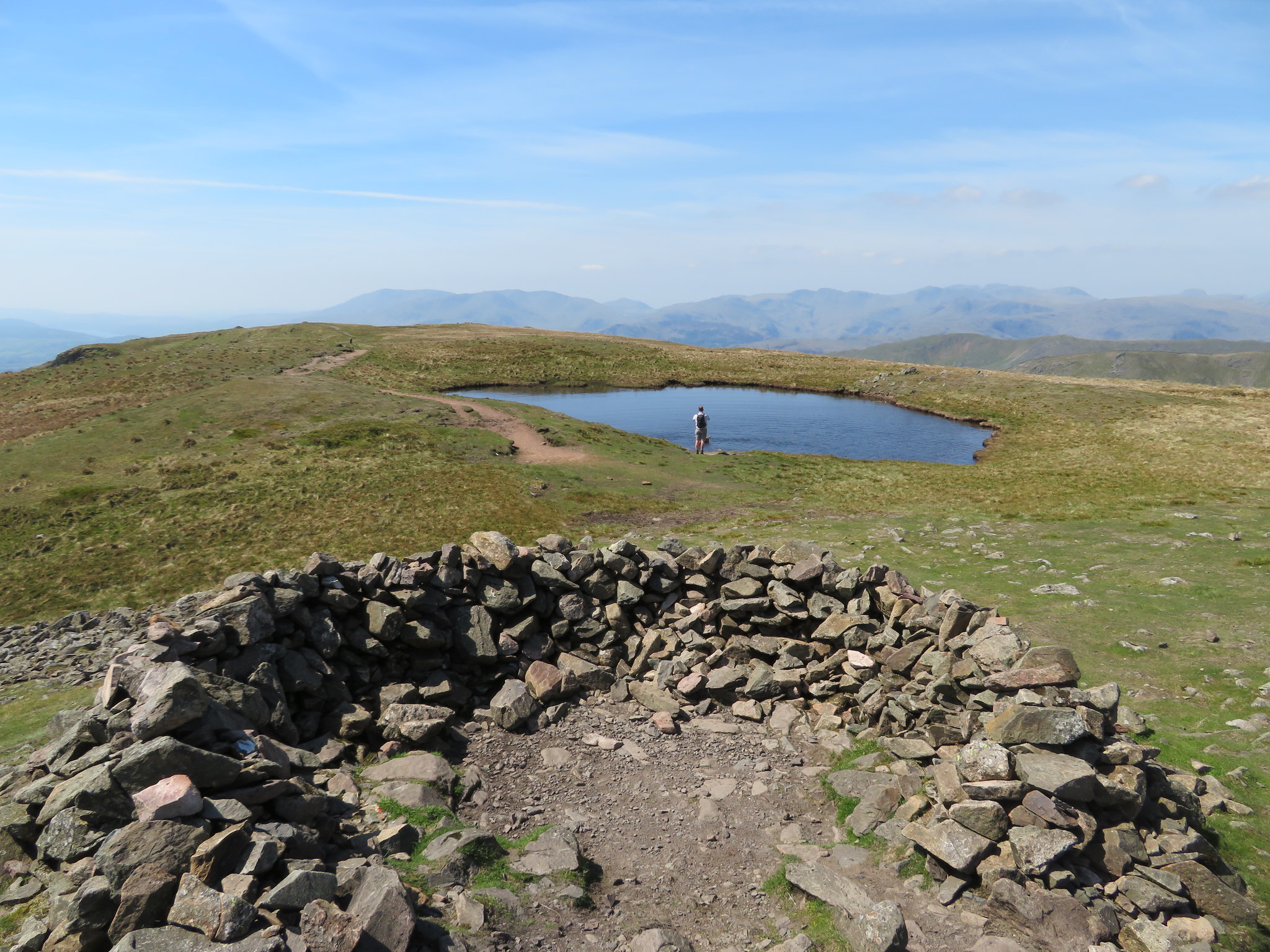 Southwest across the tarn of Red Screes
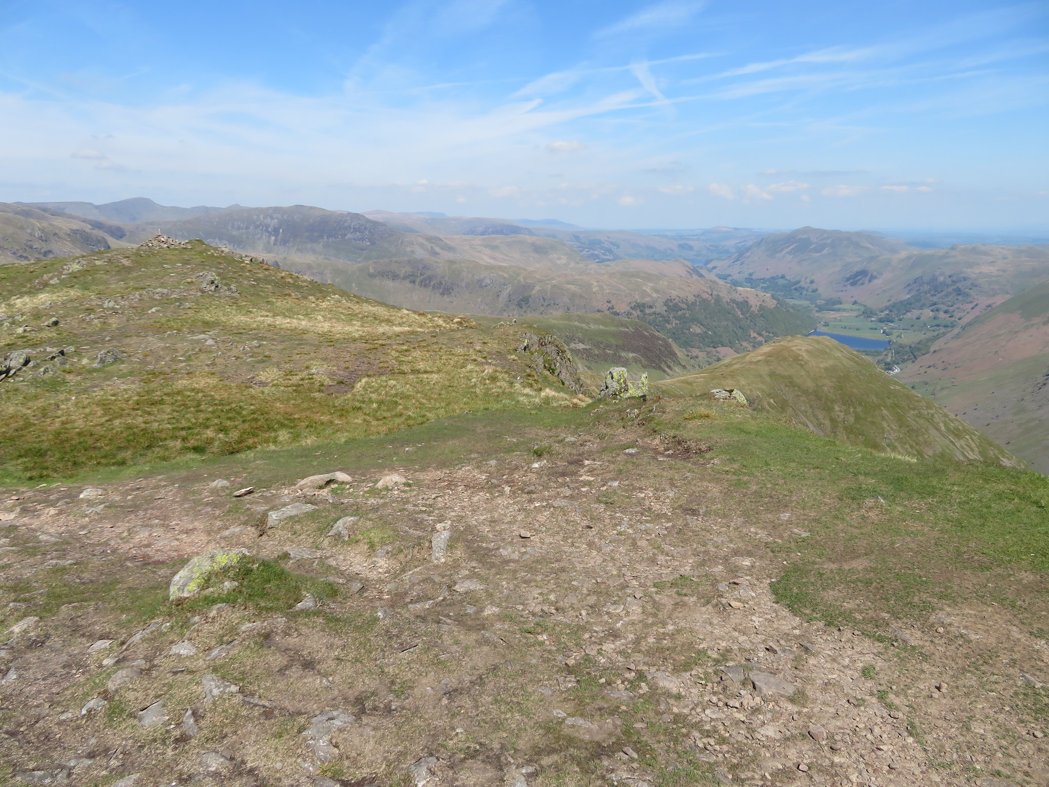 A multitude of mountains view from Red Screes
 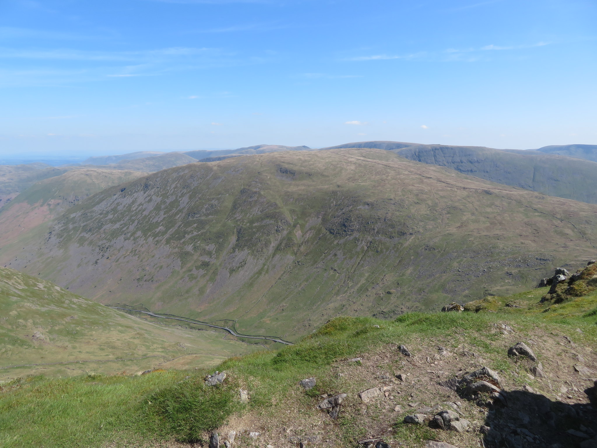 Caudale Moor
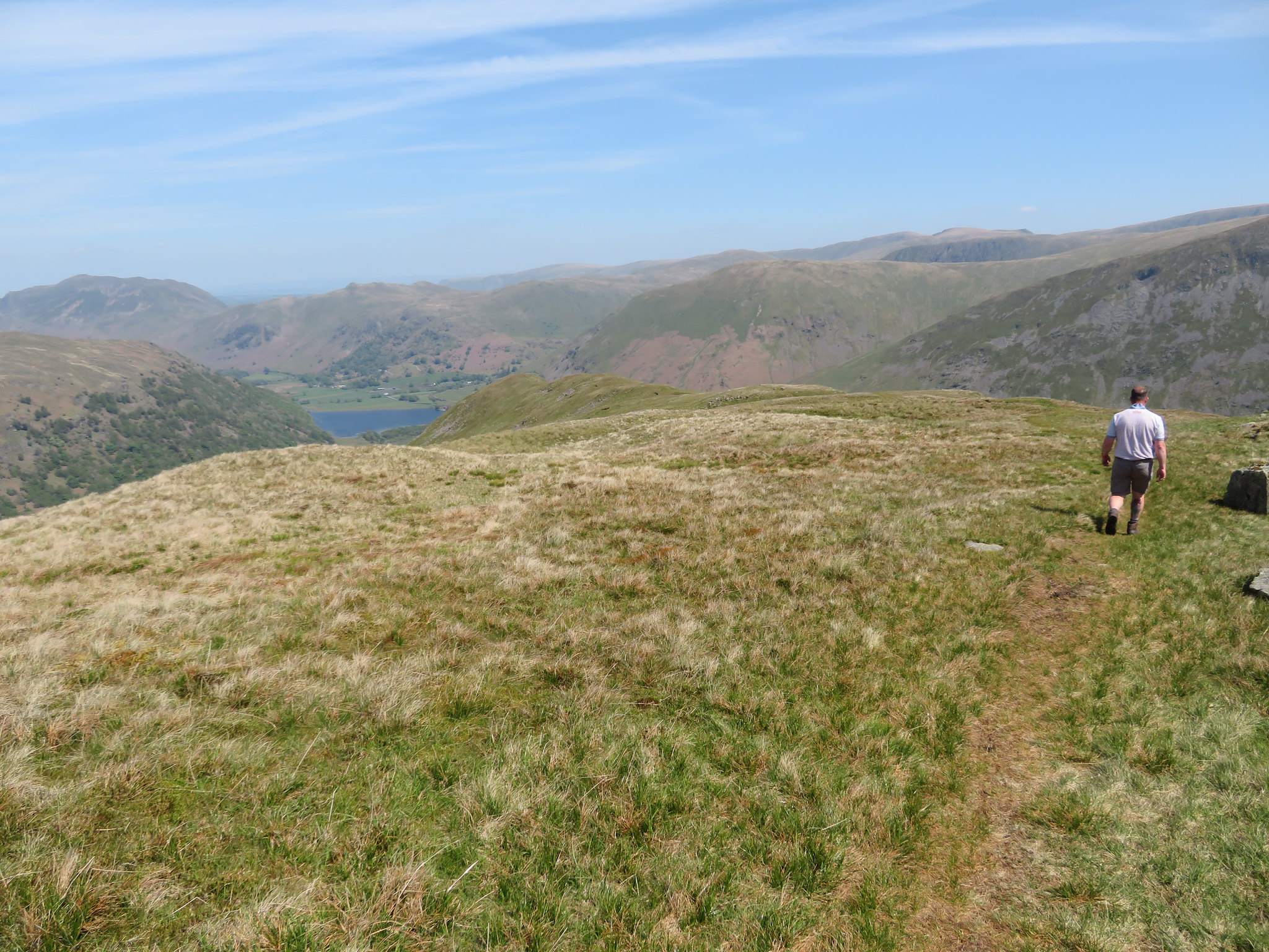
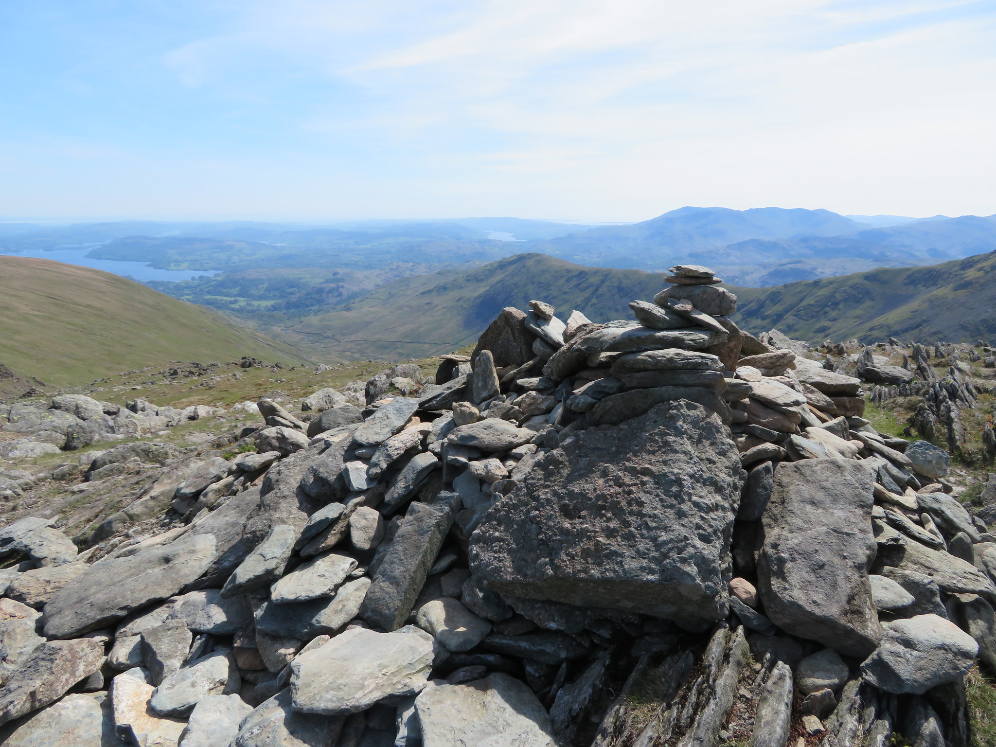
 The views were glorious, a little hazy but still glorious and I never tire of walking and looking over the vast array of tops of the Lake District, in any weather it's fantastic. We left Red Screes by first of all doing a short backtrack and then turning southwest along a well defined path that after a good measure of metres takes a turn to the northwest to meet up with the old drystone wall that is then followed all the way down to Scandale Pass that runs between Ambleside and Hartsop. Mountains too many to mention were stacked up in front of us.
 The rest of our day lies ahead
 Our next target would be Little Hart Crag that lay just ahead of us.
 Scandale Pass and Little Hart Crag
 As we got somewhere near Scandale Tarn I grabbed another couple of shots.
 Scandale Head with High Bakestones currick on the skyline
 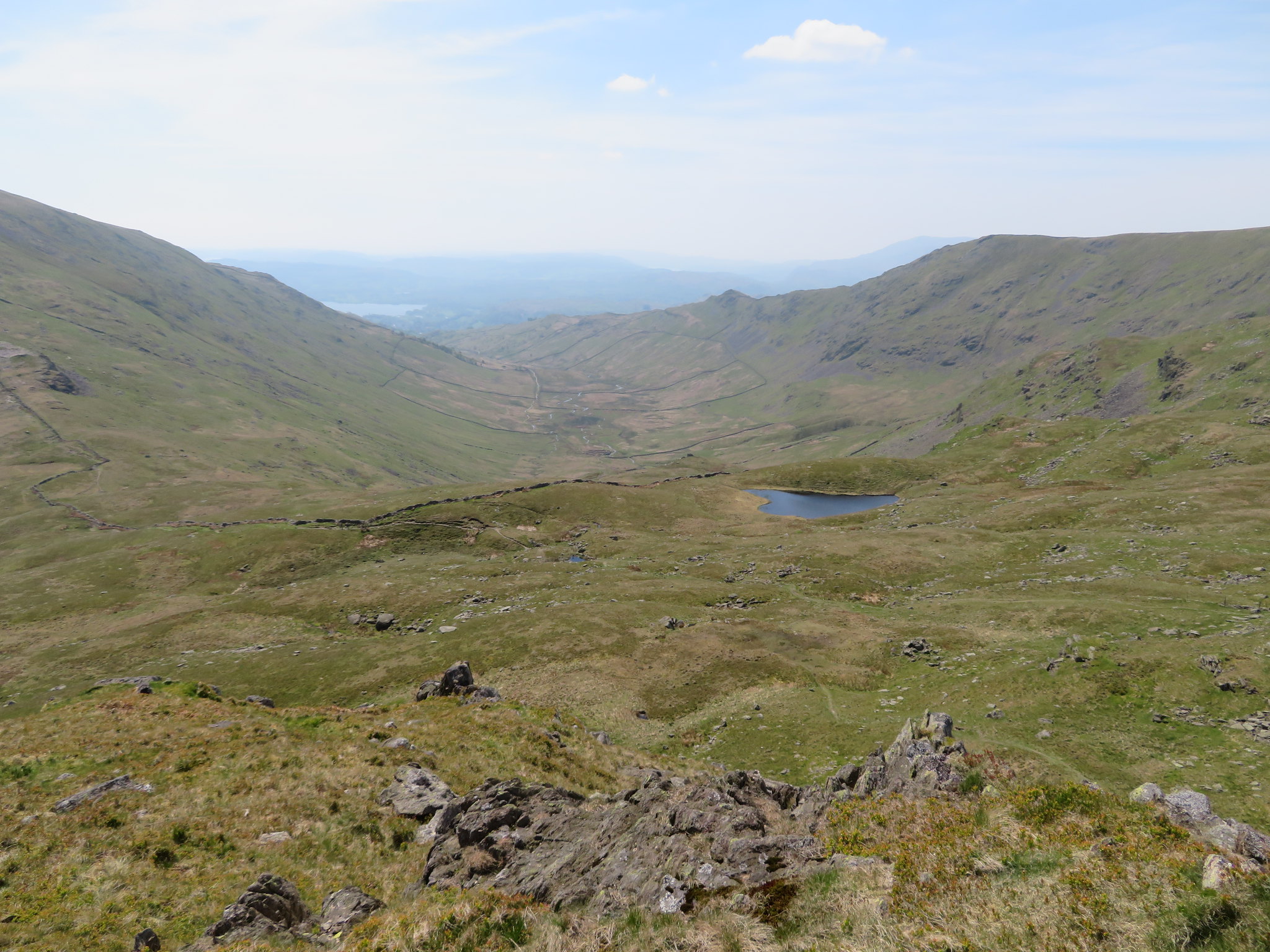 Scandale Tarn overlooking Scandale and a hint of Windermere
In the big scheme of things Little Hart Crag, although of mountain status, is nothing but a small protuberance of grass and rock poking out of the head of the ridge that leads down to High Hartsop Dodd and is not much different - or better - than many other such like features that abound in the Lake District Mountains but have not made it into the hallowed set of Wainwright's splendid books on the LD. When looking at it from the north slopes of Red Screes it is nothing but a small rocky hump sat amongst the fell grass of its much larger and majestic neighbours, a starting point for the walk down the fell to reach the summit of High Hartsop Dodd.
However, a Wainwright it is, and one that we are going to climb using the short and rocky path that gets us directly to the summit cairn that is sat on a partly grass covered top of rock, a top that affords us some good views of the surrounding countryside both mountainous and pastoral with Red Screes in particular rising up in the south.
 Red Screes from Little Hart Crag
 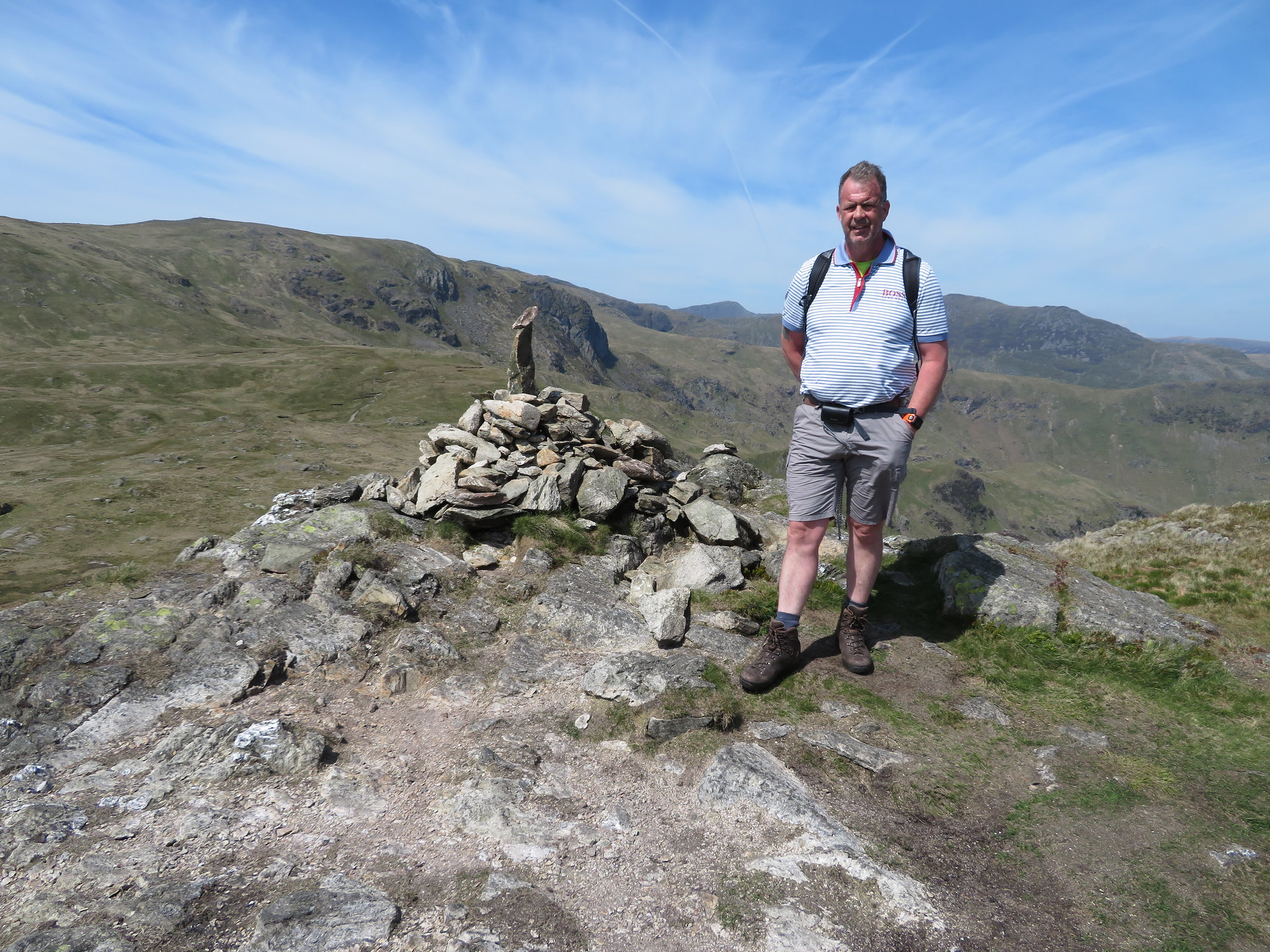 Little Hart Crag summit
 As we survey all around us the breeze has become a strong breeze whilst Chris is contemplating on whether he wants to take the walk down the fell to be able to tick off HHD, so just to nudge his manly ego I reminded him that E has done all of this with me a couple of times and that we can drop the bags and pick them up on the way back. That's all it took, mind games on my part, although it is true about E doing the whole of these fells with me. It is only just over ½ mile each way with an extra 360 feet of climb along the long, grass covered, curved and rounded ridge top, easy walking, especially on a day such as this with the sun beating down.
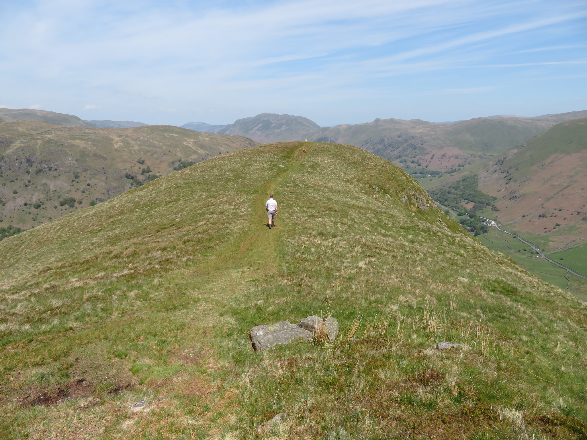
 Chris leading the way to High Hartsop Dodd
 The strong breeze was nearly a wind by this time and the hat that I wore had to be taken off and stuffed in a pocket or I would have lost it somewhere in Dovedale. It took us barely 10 minutes for the walk down to the small summit cairn that sits on thin grass where the ridge turns up at its nose before starting its steep descent back down into the jaws of Dovedale.
 The summit cairn is in sight
 From this point we had a good view into Dovedale with the major mountains of this round stacked up over in the northwest.
 Dove Crag - Hart Crag - Fairfield from High Hartsop Dodd
 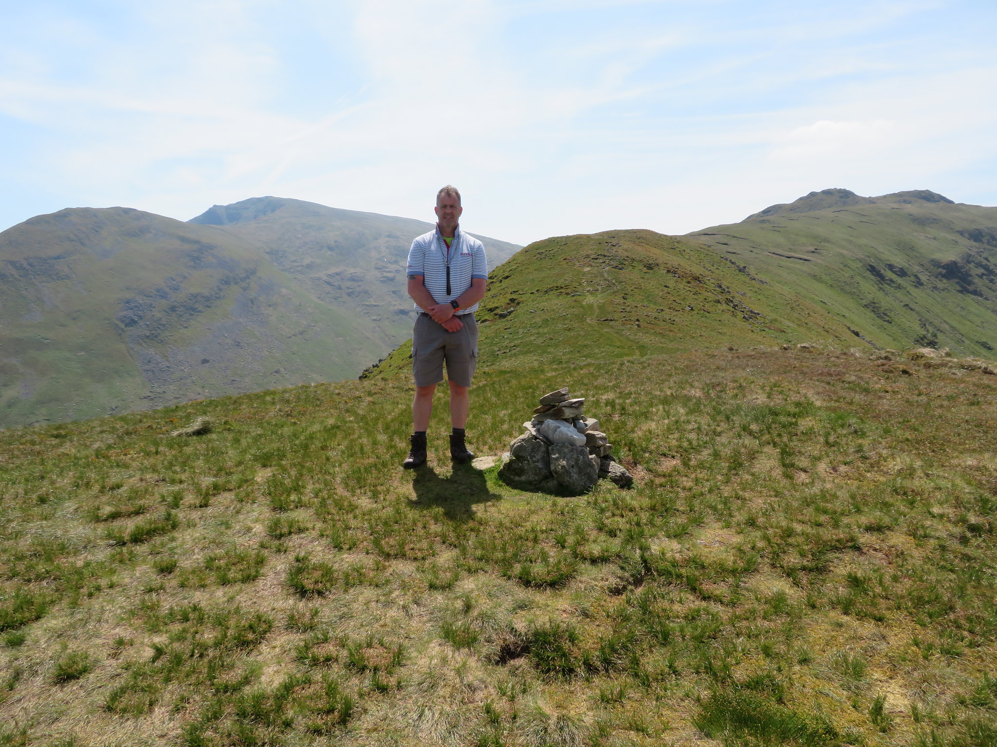 Middle Dodd and Red Screes from High Hartsop Dodd
 We passed the couple who we met on Middle Dodd also doing a there and back walk, two of many who are walking these mountains today. Most of those we saw were walking in the opposite direction to us - anti-clockwise - and had walked up using the Scandale Pass route, some from Ambleside and some from the northern end. We made our way back to our stashed bags and found a sheltered position from where we could look over the landscape whilst having another snack and drink.
Setting off once again we now set off for our fifth top of the day, Dove Crag with its Priest's Hole - cave - that is used as a bothy with a view although when using it a step too far would result in dire consequences if great care was not taken on either entrance or exit. Not a place to fool about. After about 15 minutes of climbing the steep fellside I took advantage of a photo shoot whilst taking a breather. It was at about this point that a couple stopped to ask the way to Scandale Pass and Ambleside.
 The view southeast towards Little Hart Crag
 This part of the climb up to Dove Crag can be very wet in places but today there were no such problems the weather being dry for a good few days now and although it was warm work the steeper stretch was soon got over and we soon arrived at the junction where the east ridge path of the Fairfield Round meets this one. From here a turn to the north gave us an easy walk to the summit of Dove Crag from where a hazy view towards Windermere and Coniston was available.
 A hazy hint of Windermere - Coniston Water and its mountains
 Taking a stroll to the second cairn above Priest's Hole gave us a view of the east ridge of the Fairfield Round.
 Hart Crag - Fairfield - Great Rigg from Dove Crag
 We now had the highest point of our walk firmly in our sights, Hart Crag, a short distance and climb to the northwest with some easy ground between us and the rock strewn south ridge that would take us to the summit of this great mountain.
 Next on is Hart Crag
 This was where we met lots of walkers doing the classic Fairfield Round and also where we decided to take a break and a refuel before starting this last climb of any significance of the day. Duly fed and watered we soon reached the summit where there were a few walkers pottering about…
 Hart Crag summit
 and from where we got a better view of the surrounding fells and mountains including Fairfield and the rough features of Scrubby Crag that is more or less passed over when arriving at or leaving Fairfield.
 A bit better view of Windermere and the Coniston mountains from Hart Crag
 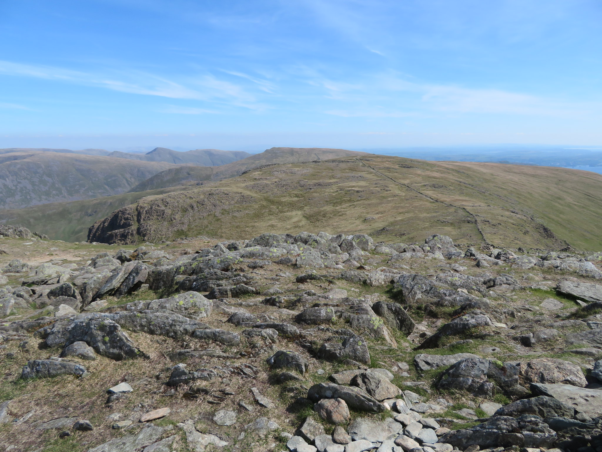 Southeast towards Froswick - Ill Bell and Yoke from Hart Crag
 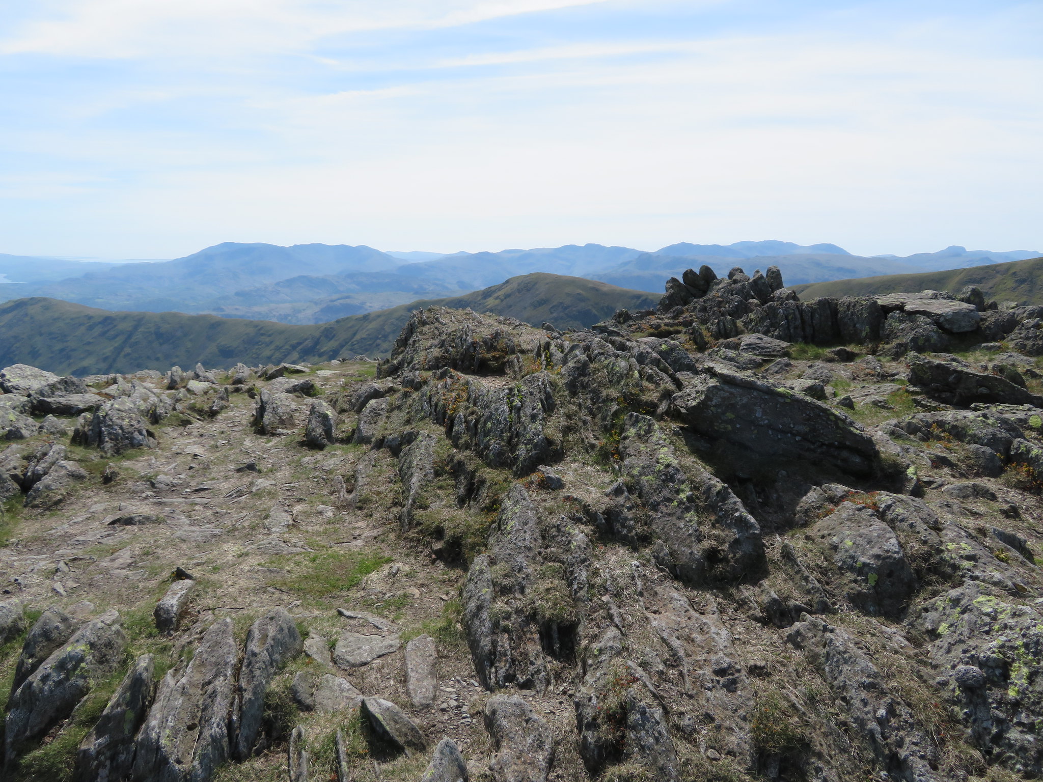 A southwest mountain view from Hart Crag
 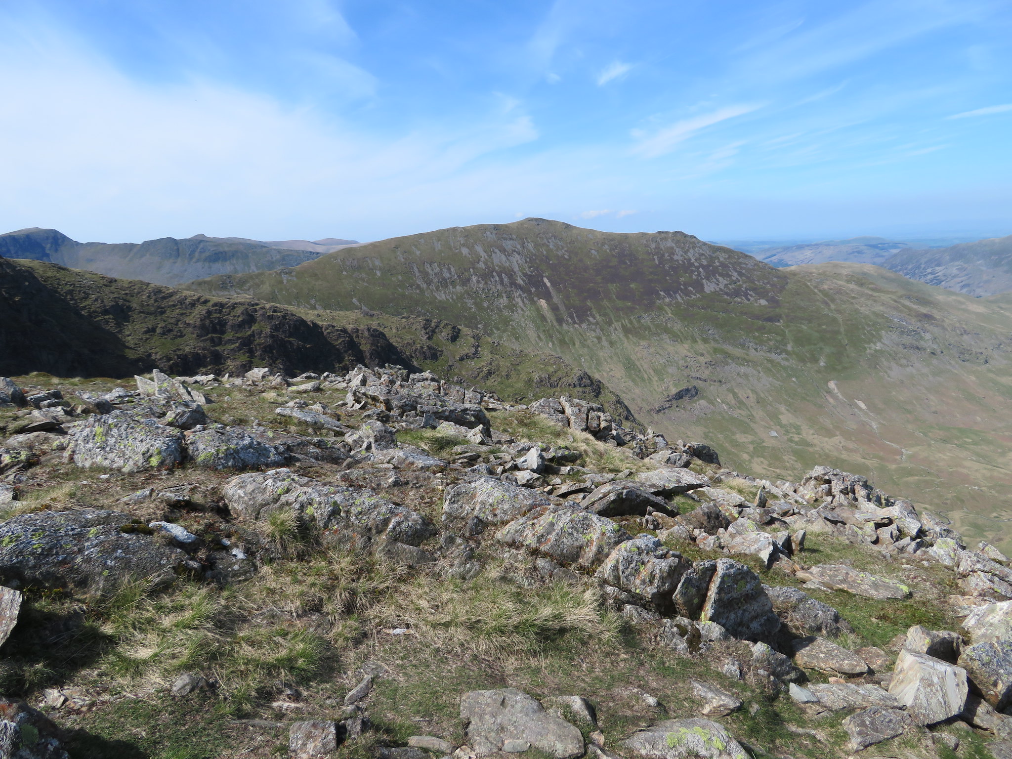 St Sunday Crag and Birks
 And from the shelter we could now see the whole length of Hartsop above How both our last summit of the day and also our way back to the car.
 Hartsop above How ridge from Hart Crag shelter
 Soon after leaving the summit the path branches with one bearing over to the right and the other going more or less straight down. For those of a nervous disposition it may be better to take the right hand path although it has to be carefully looked for as it is easily missed and if so one will end up scrambling down a rocky area that although is not a serious scramble it may not be to the liking of some. The path to the right is fairly steep but is of a better nature than the other option with a sometimes slippery and loose scree type material to contend with on part of the path. In any event they both end up at the same place.
Once on the Hartsop above How ridge the walking is easy over worn out grass and stony paths for most of the way as it wanders about up and down the various small humps and bumps that make up this fell. When we got near Gill Crag the highest point of this fell there was a good view of Dove Crag to be had…
 Dove Crag with the Stangs to the left
 and looking back up the ridge, this.
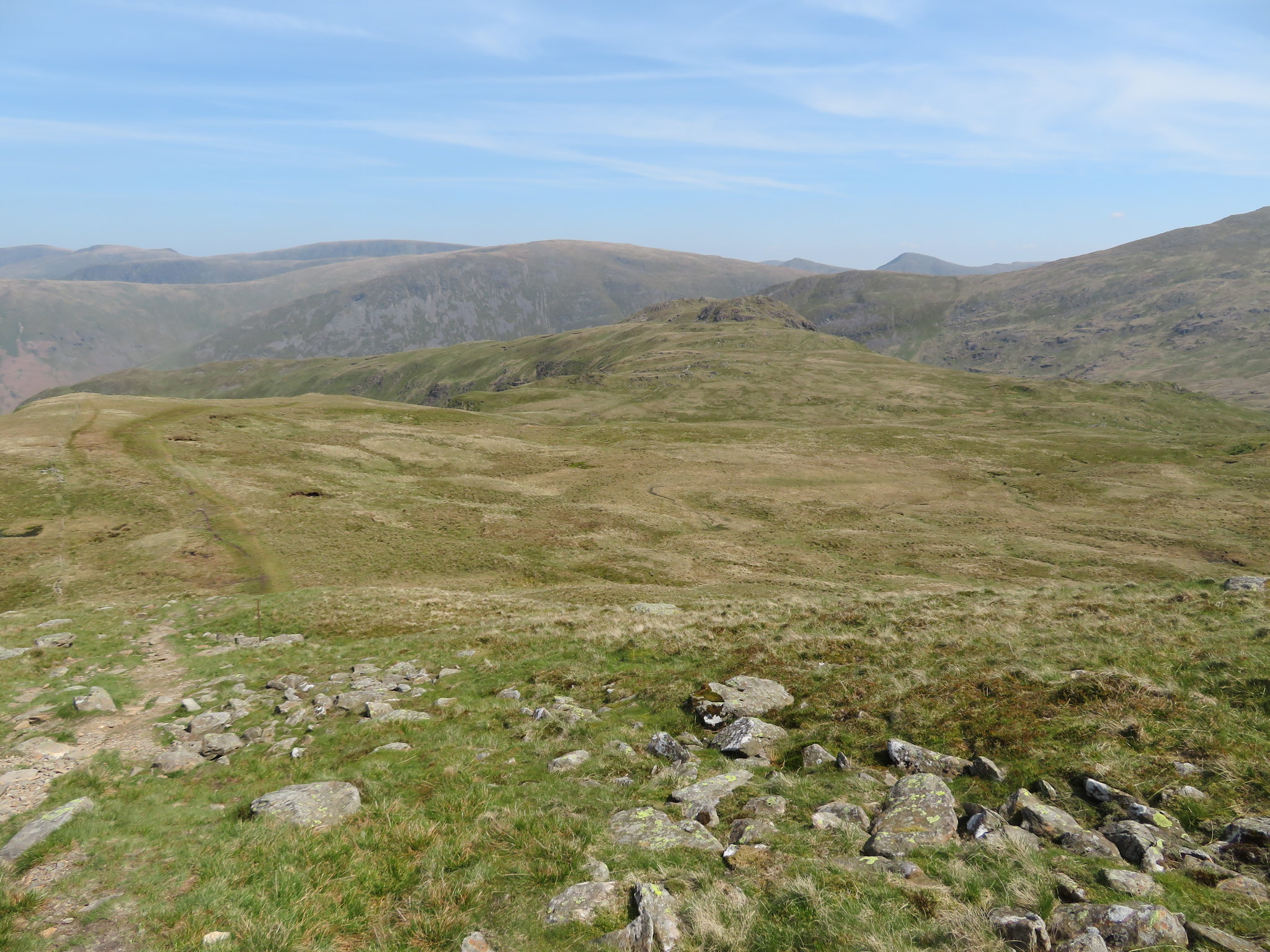
 A look back to Hart Crag and Scrubby Crag
Our last top of the day.
 Gill Crag
 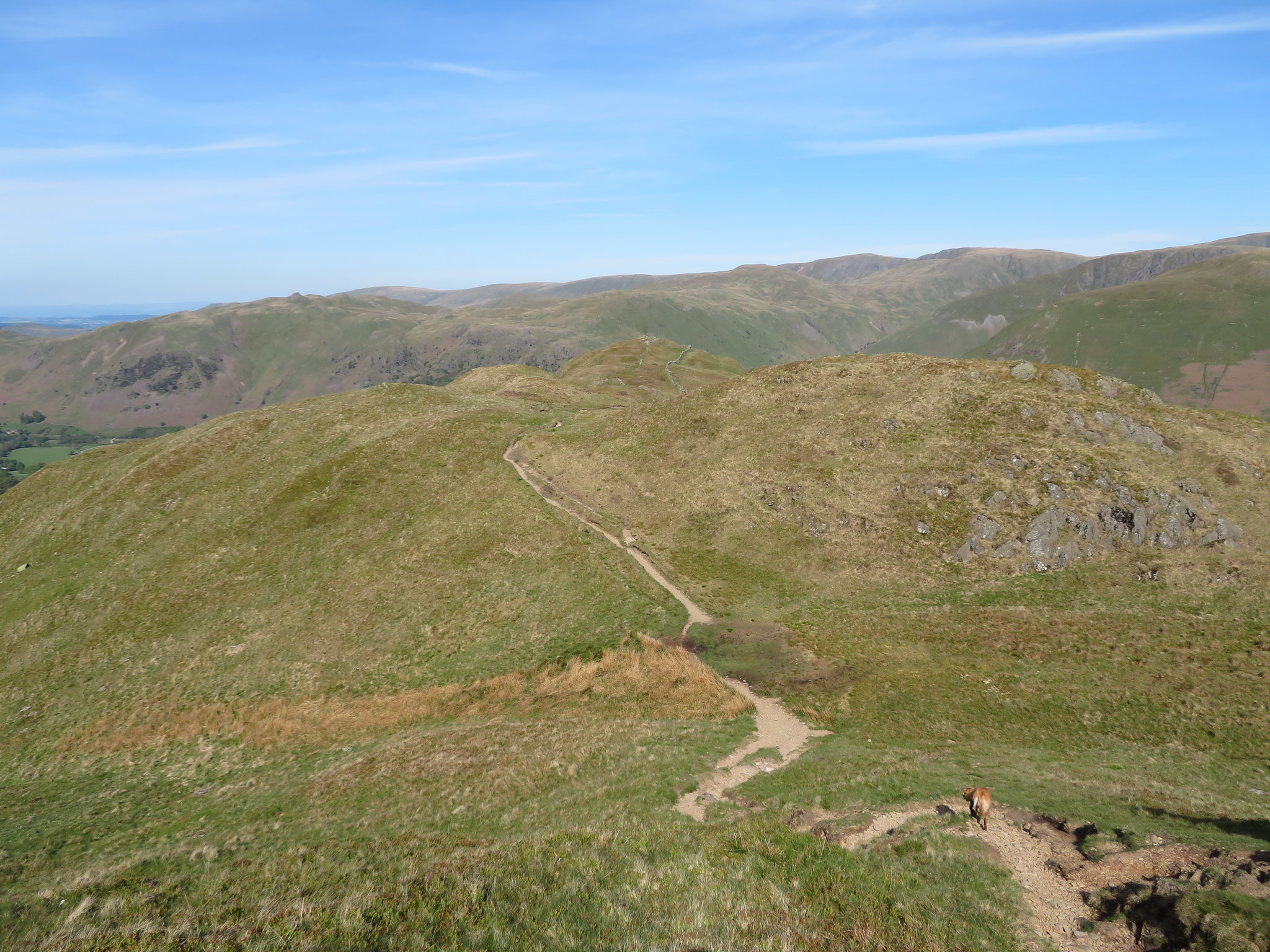 The ups and downs of Hartsop above How ridge
 As we got lower the valleys opened up before us again surrounded by the great heights of the crag pocked mountains.
 High Hartsop Dodd - Middle Dodd - Red Screes and Caudale Moor
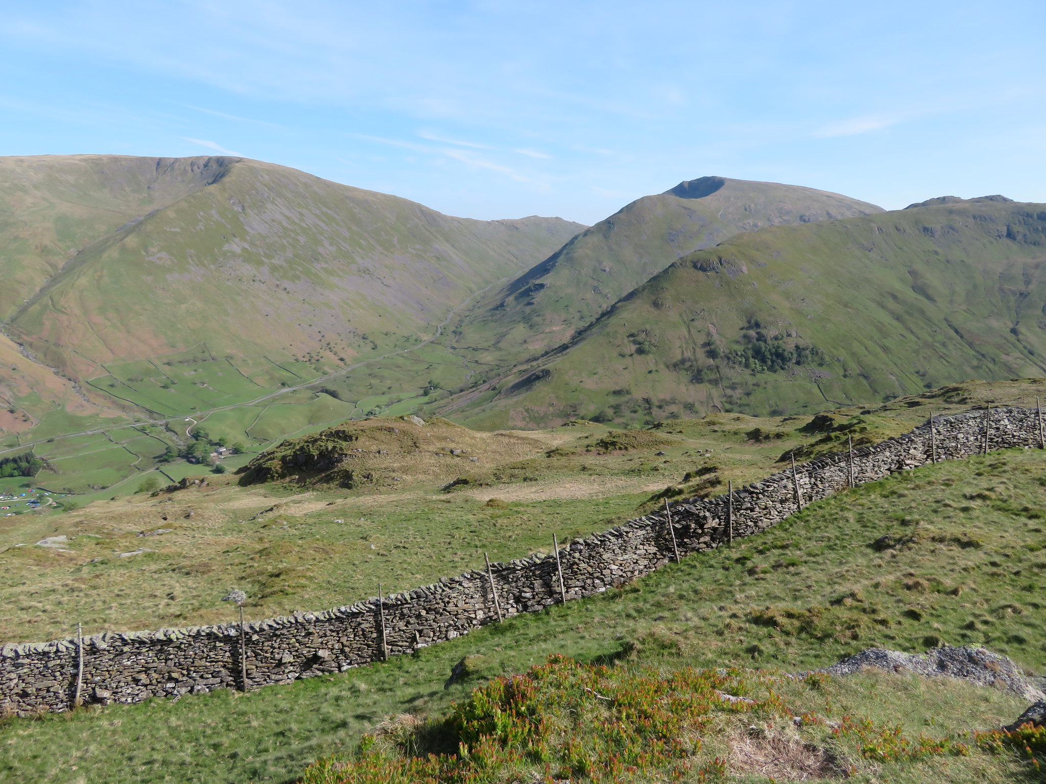
 At NY396 128 there is a ladder stile over the wall and this is where we took our leave of the ridge to follow a path that initially slowly descends along the fellside as it makes its way over grass towards and into Low Wood and also giving us a great view of Brothers Water, Hartsop and the mountains to the east.
 Hartsop Dodd - Gray Crag - Rest Dodd - The Knott and Rampsgill Head
 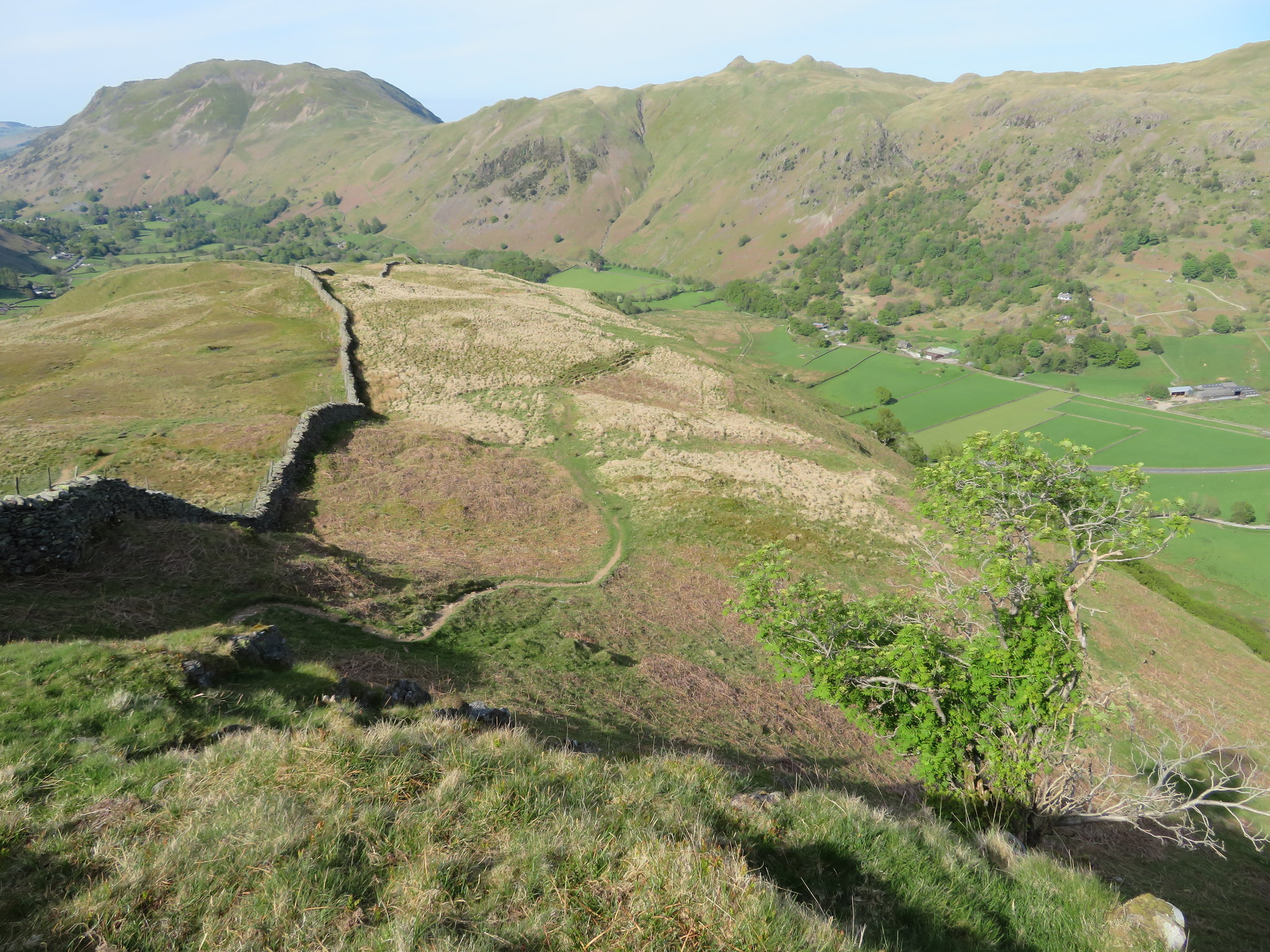 The path to Low Wood and the car park
 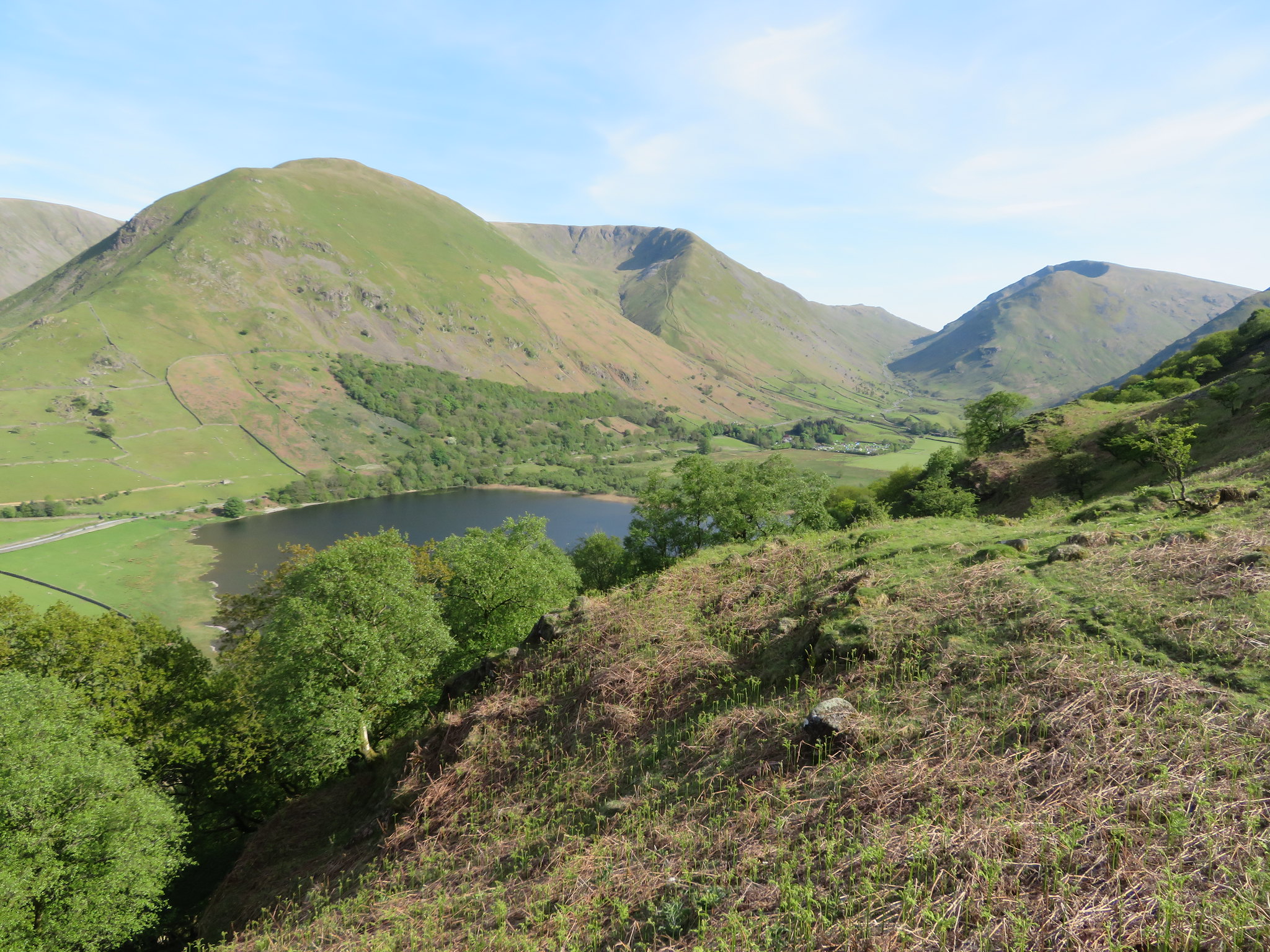 The view along Kirkstone Pass
 On the OS Map there is a path shown that starts at Cow Bridge car park and runs straight up into the trees of Low Wood but ends before it reaches the path that runs alongside the wall above, but in reality it is a continuation of the path that we were now walking along. After climbing over the stile the path descends slowly at first as it winds its way along the fellside to eventually arrive at the edge of the wood where it begins to steepen through the trees. This path does indeed meet up with the one running up from the car park but not at the point of termination that is shown on the map, it is lower down and about halfway up between the car park and the intake wall running along Hartsop above How. The path at this point now begins to get very steep with the hazards of tree roots and loose material on the path. An old deer fence is passed through to gain even steeper ground but thanks to the surrounding trees there are many helpful branches to assist ones passage down and although it’s a shorter and quicker way off the ridge I don't know whether I would want to climb up this way as it could be quite a mission.
Another and lower deer fence is accessed and we could see the blue of water glinting through the trees below us, a few steps more and the shiny roofs of cars came into view. I executed one of my rare slips on the fells with the grace of Nuryev and gravel flying in a dusty haze in the manner of a bike cornering on a speedway track. Nothing broken and no other damage done to body and soul I recovered my composure and we made our way in a few more minutes to the car park and immediate thoughts of beer.
These mountains are a pleasure to walk at any time of year, but on days such as this it has been brilliant with superb weather, good views, and for this group of fells a quietness that belied their popularity as although we had seen quite a few other walkers and the odd fell runner, apart from a winters day this must be the quietest that I've seen it, especially so since the Fairfield Round takes in some of the fells that we have walked today.
One of Chris's concerns regarding this walk was the availability of water for Sonny but I reassured him that there were plenty of holes full of water scattered about the driest patch being maybe the walk from the base of Middle Fell to Red Screes summit where the quite large tarn is to be found and from thereon there are an abundance of pools of the black kind that Sonny appears to enjoy playing about in.