free to be able to rate and comment on reports (as well as access 1:25000 mapping).
Back in early May Fiona and I booked a week in Gran Canaria for the 1st week in June with the intent of exploring some of its mountains & walking trails. We had booked a rustic stone cottage high in the mountains near the centre of the island in Aberjales.
https://www.airbnb.co.uk/rooms/3937189?location=Gran%20Canaria%2C%20Las%20Palmas%2C%20Spain&s=i1fbfDOdWe left Glasgow Tuesday 29th May, having only arrived back in Glasgow Monday evening 28th May following a few days exploring the Ardnamurchan Peninsula.
https://www.walkhighlands.co.uk/Forum/viewtopic.php?f=9&t=81756The cottage was rustic, clean, and quirky. It was set high on farmland and was private, it suited our needs perfectly

The owner, karin, was also very helpful. Providing vegetables, edible flowers, sage, & aloe vera from her gradens.
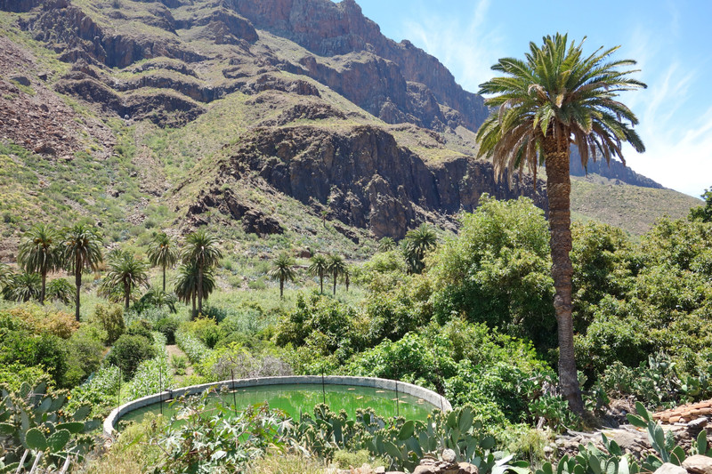
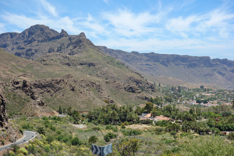
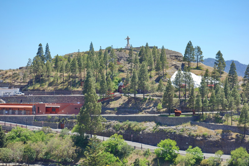
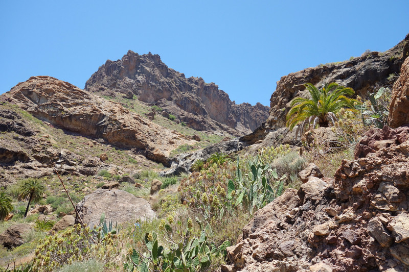
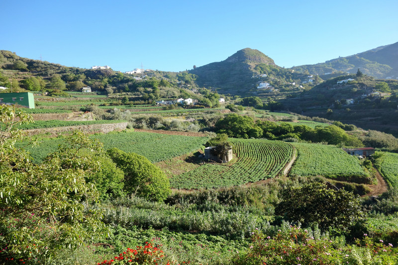
Day 1 - Wed 30th MayOn Wednesday we took our maps, routes, food and started driving South West to the sand dunes of Maspalomas. Driving along the South Coast we kept looking North to the mountains, so in true adventure style we took a sharp right and headed up a lovely mountain road by Fagata. A quick map check provided two short walks to explore
Arteara Necropolis:
The Arteara Necropolis is the largest aboriginal cemetery of its kind on the island, both in terms of size and number of burial mounds there. It occupies an area of 137,570 m2 and houses 809 tomb structures, with both individual and collective burial mounds. It is located on a malpaís, an arid, rocky area caused by the pile up of phonolite volcanic rock following an avalanche.
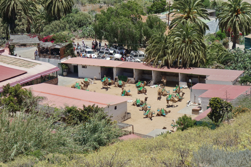
Parked up near a camel safari park and started our first walk on Gran Canaria
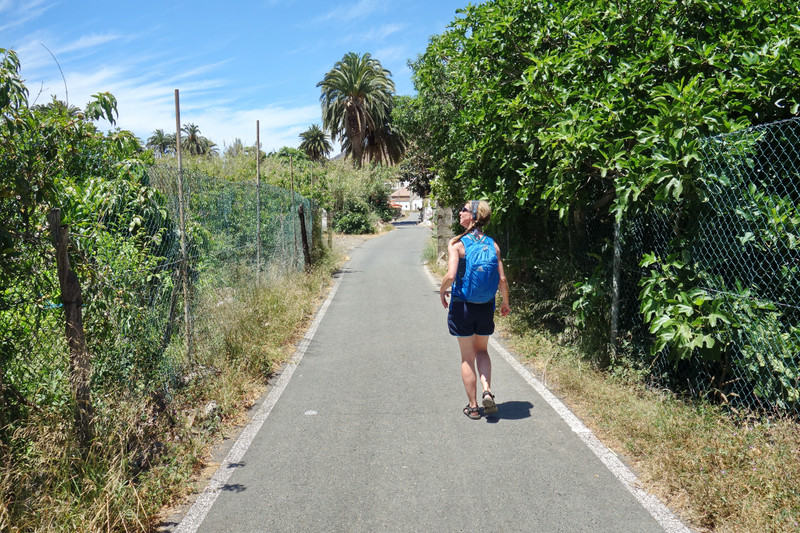
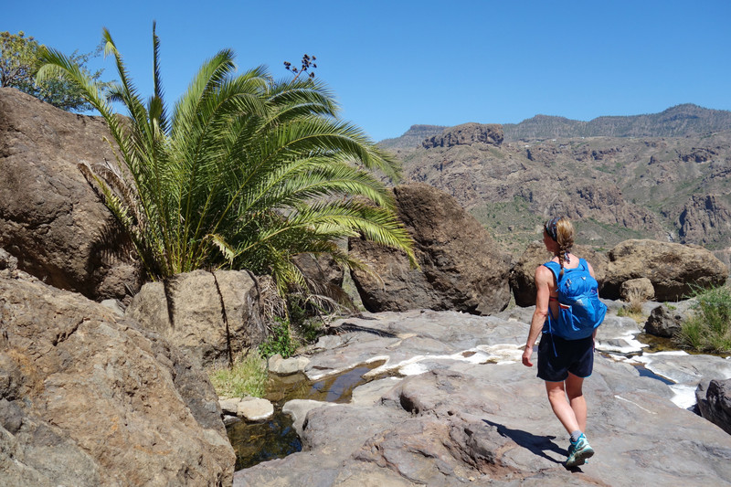
An easy stroll along the road with palm trees and mountains engulfing us
Burial Mound

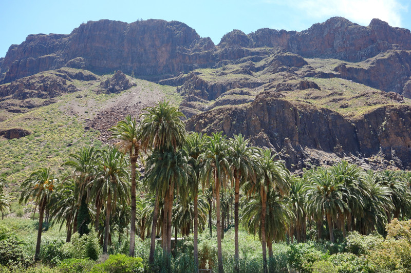
Nice walk with information boards and a museum along the way. We took a circular route and stopped for food high above the camel safari park.
Tourists waiting for a ride
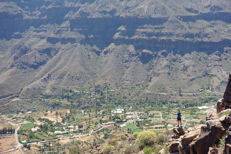
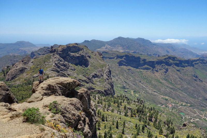
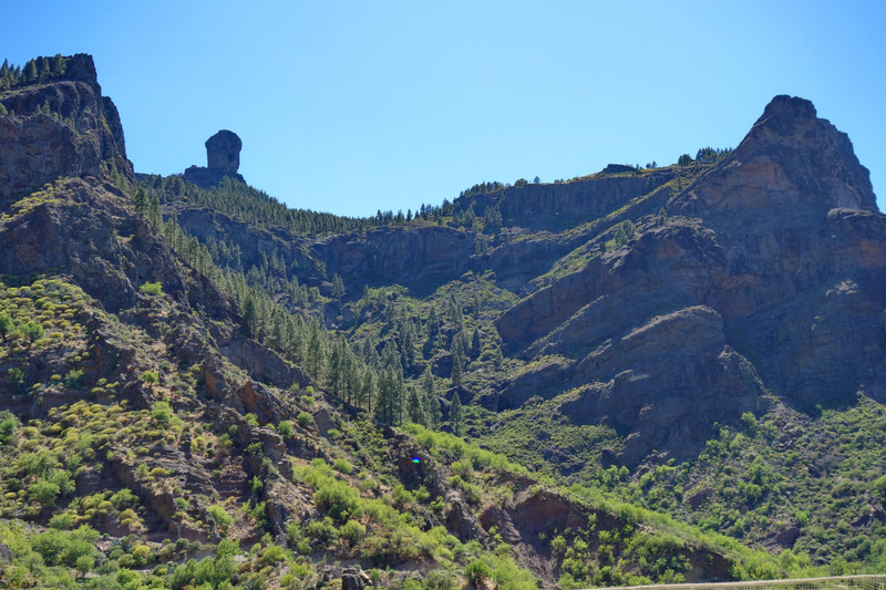
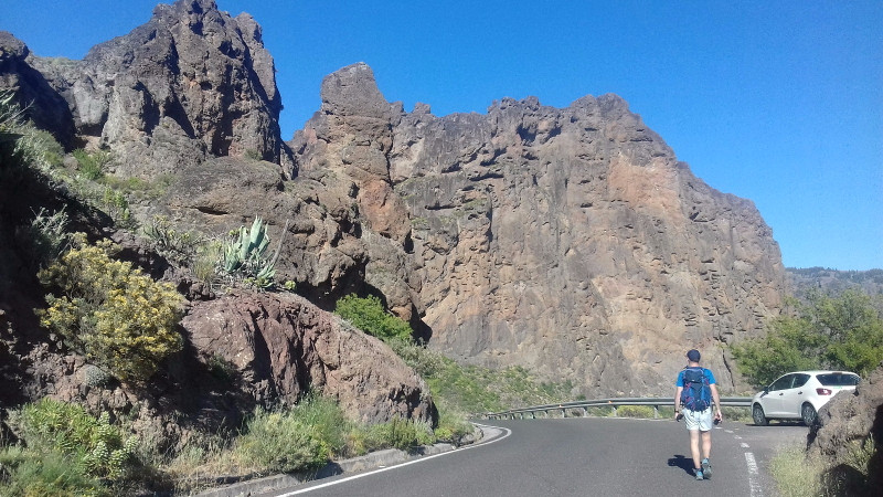
Back at the car we drove up the road a few kilometres as we'd spotted some high peaks
Amurga - Our next walk, the ridge on the left
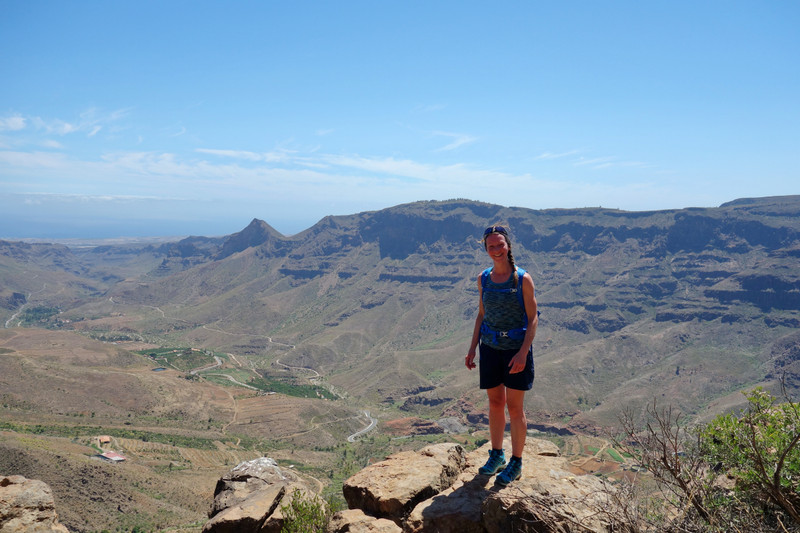
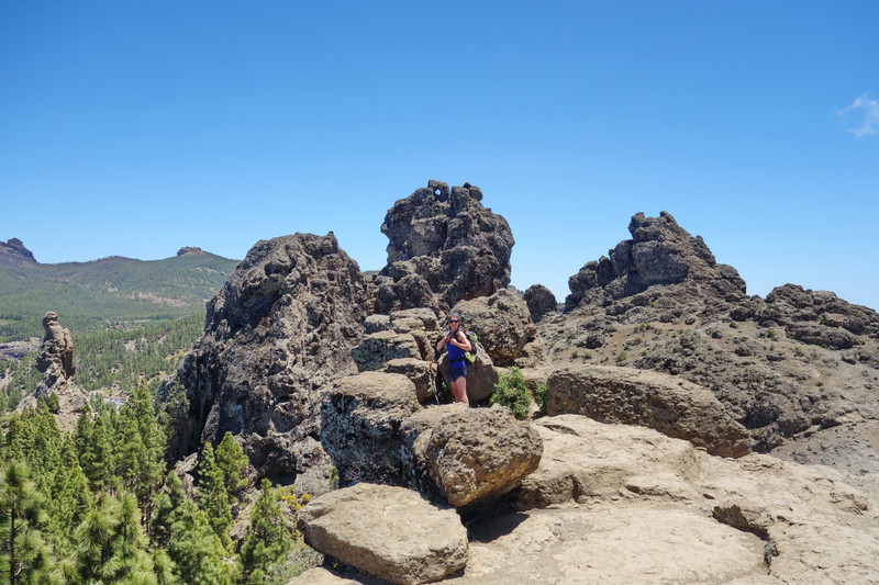
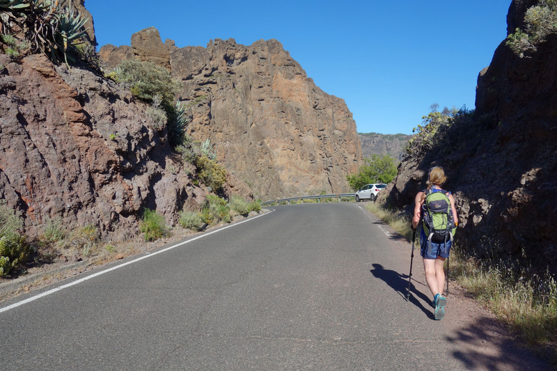
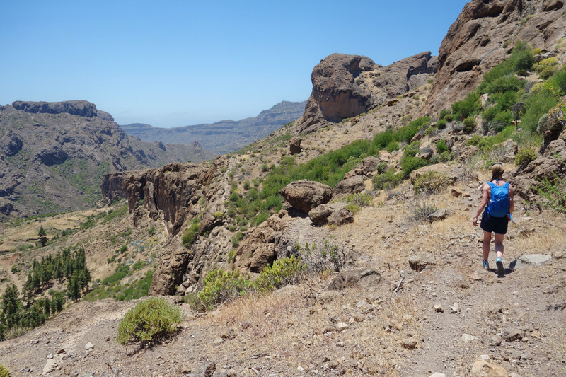
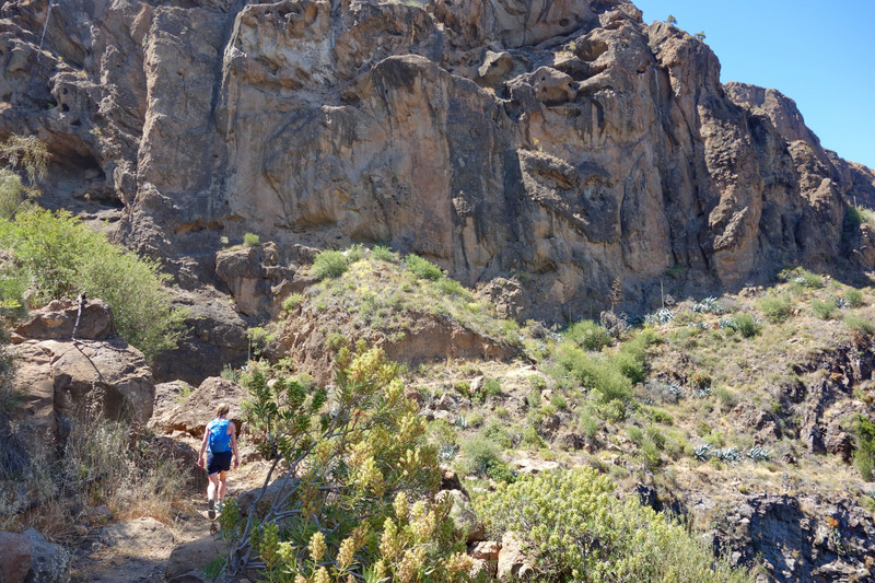
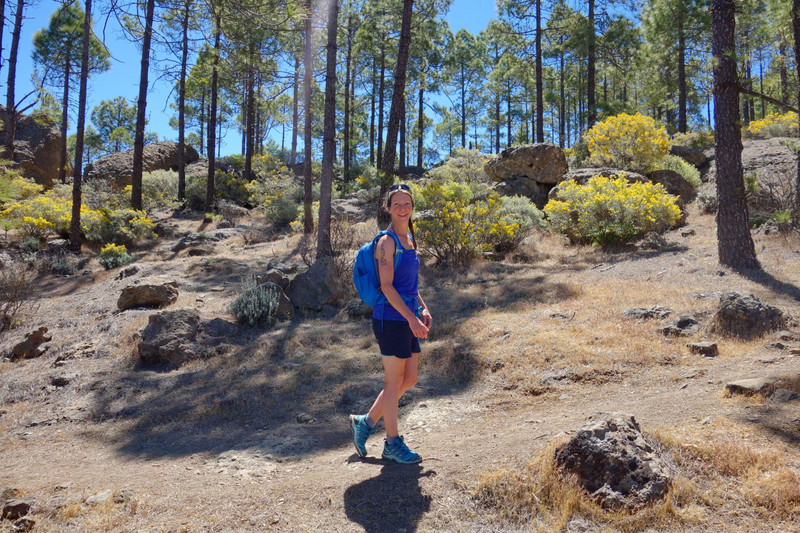
It was difficult to find the start of this route but we managed and soon set of in the blistering heat
On route & smelling good
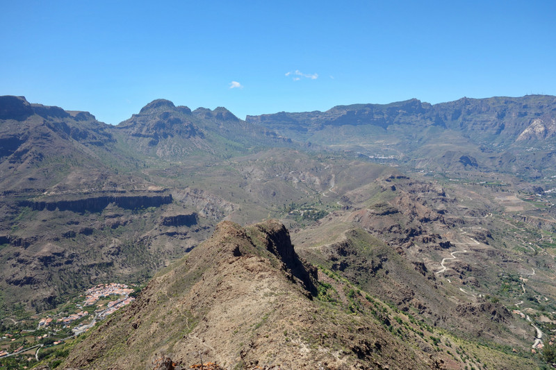
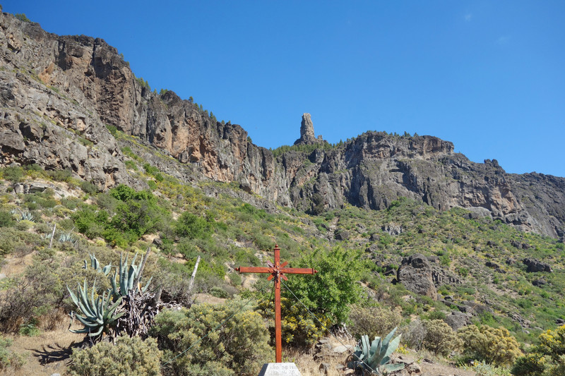
The path was decent, further up with little pockets of scrambling.

You can just make out the path cutting across the slope then heading straight up to the ridge left.
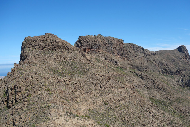
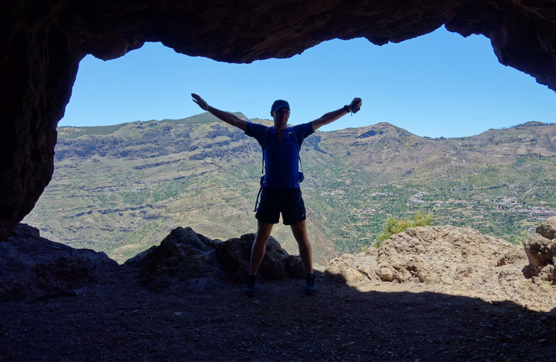
To reach the summit involved a small scramble, but wasn't difficult. We sat a while and ate some food before heading straight back down the route we came up.
Some perspective
Heading back down the ridge
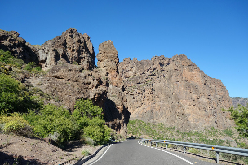
Back at the car we guzzled down any water we had left! We took a route back to our digs via the mountains and Cruz de Tejeda, we would drive around these spectacular high winding roads for the rest of trip.
Back at the stone cottage for 20.30hrs and too late for eating out as most places shut near us, so we cooked our own dinner
This would be the pattern of our week, taking turns each evening to cook
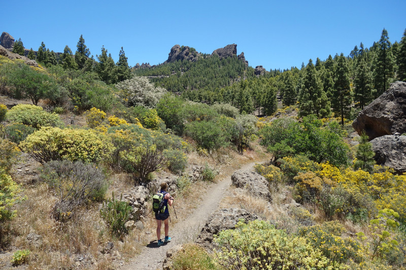
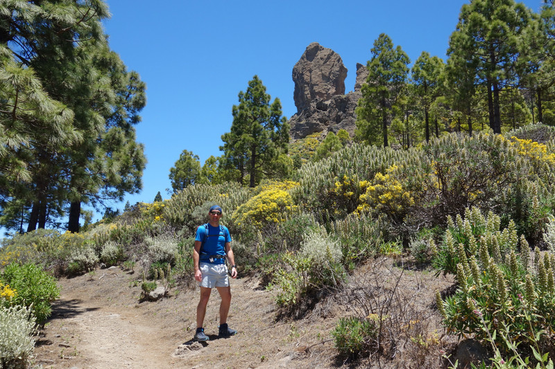
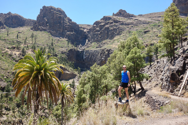
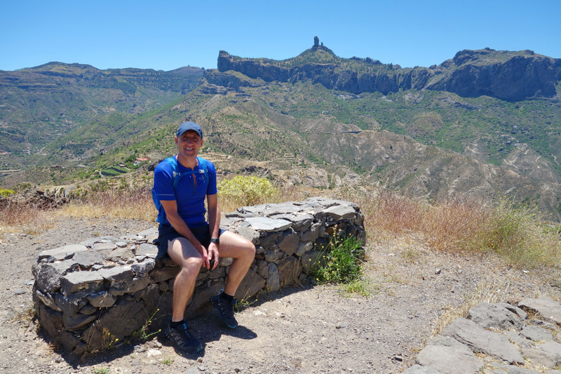
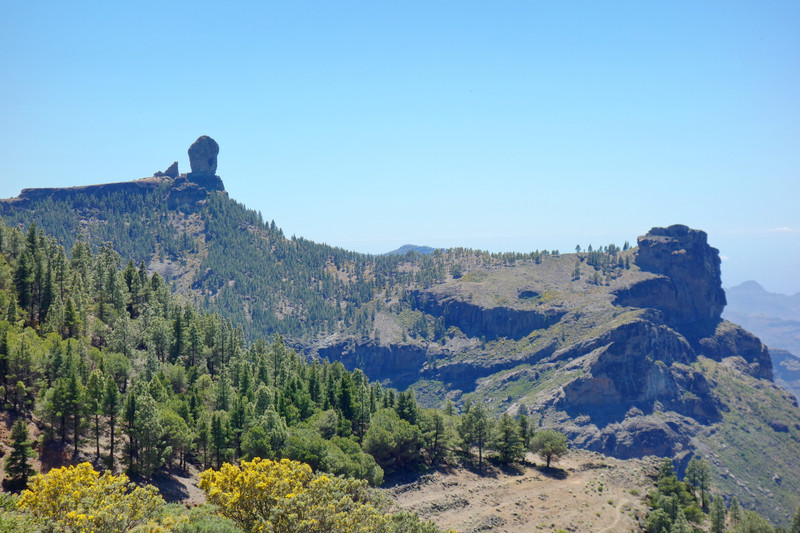
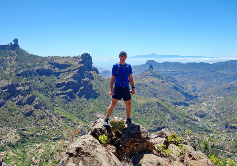
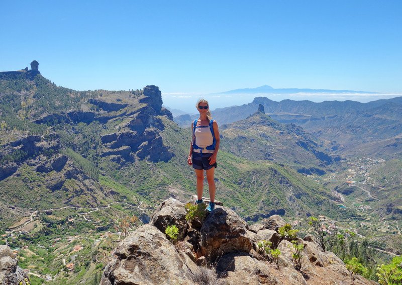
 Day 2 - Thursday 31st MayRoque Noblu Circuit
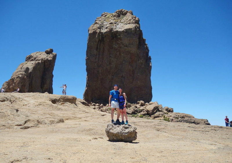
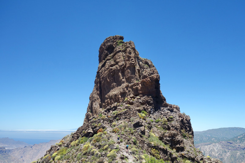
Roque Nublo (Clouded Rock) is a volcanic rock on the island of Gran Canaria, It was formed by a volcanic eruption around 4.5 million years ago. It is a famous landmark of the island, protected as a natural monument. It is 67 m (220 ft) tall, and its top is 1,813 m (5,948 ft) above sea level. It is the second highest peak of the island after nearby Pico de las Nieves.
Our route was a 12k circular one which took in the village of La Culuta and El Juncal. At the start point, near El Juncal, Fiona took the lead and led the way, she has plenty experience in the mountains
Turned out an absolutely belter of a walk, and very quiet apart from RN summit
Anti - clockwise was the best way to go, well done Fiona

Our target
From the off we took a steep path up through the rocks, met by the lushness of trees and a little reservoir.

Reservoir
View from behind
Getting higher - beautiful surroundings
Roque Noblu coming into view
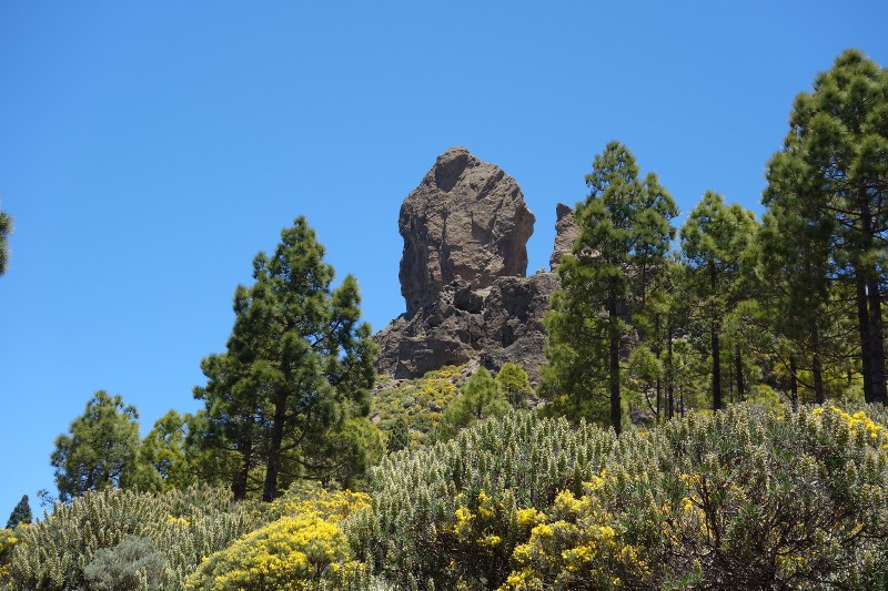
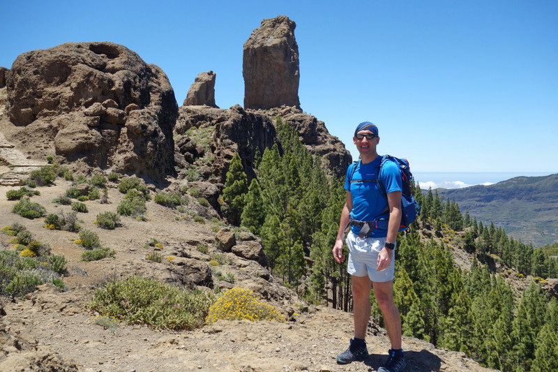
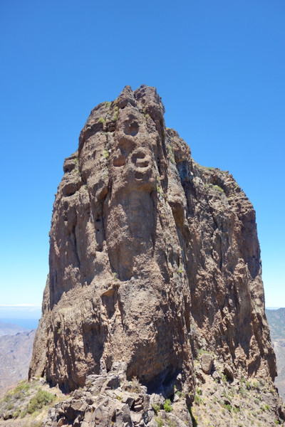
After 3k we stood on the final ridge/plateau that led to the massive Roque Noblu.

Looking East
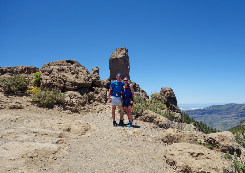
A Spanish couple kindly took our photo, we returned the kind gesture

Views from the summit
Fiona larking around
The summit was really nice, with little pockets to explore amongst the rocks. We sat a while before heading down to finish the rest of the walk.
Off we go...
On lower ground looking back up to Roque Noblu
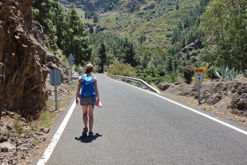
At La Culuta we stopped for some ice cream. We also checked our map & compass, all working well

Roque Noblu was always in site, it was great to see it from all different aspects.
Roque Noblu from near El Juncal
We stopped lots to admire the views, eventually though we came to the end of our wonderful walk
Roque Noblu can be accessed easily from many directions but its definately well worth taking a longer circular route such as the one we took - fantastic walk
Pleased with our days walk we drove back to Aberjales and had some dinner with a cold beer
Strangely our accomodation was always in the clouds, apart from two clear sunny days, but once we doive higher up and West we had the clouds below us. Was nice witnessing this on a daily basis
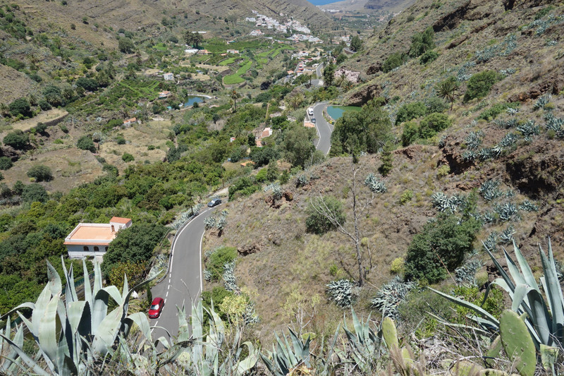
Day 3 - 1st JuneEl Soa & Artenera - Presa de LugarejosThis day we drove a lot through mountains near the West coast, coming to a dead end which we didn't anticipate. It provided great views with just a little walk to admire them.
The views of El Soa

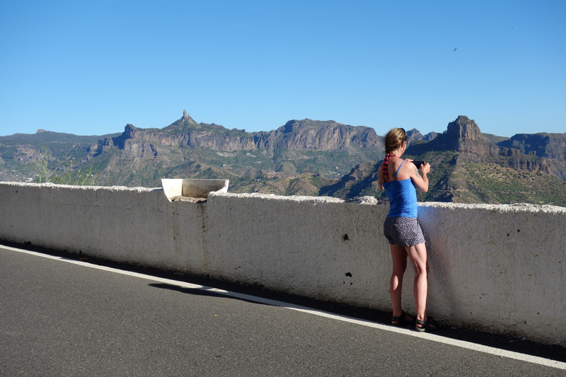
We now had to drive back the way we came. Whilst Fiona was driving down the winding hairpinned road I was checking the map, only to lift my head and feel absolutely awful! This sick feeling hung about for hours but thankfully it went just as we reached Artenara, which is the highest village in gran canaria.
Artenara
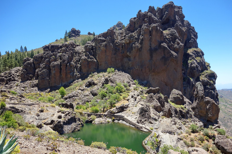
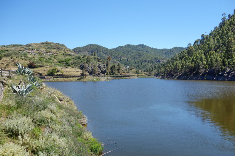
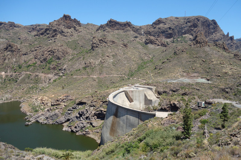
From here we would drive down to Presa de Lugarejos, a nice area with lakes. We took a short walk near a dam and sunbathed for a few hours. It was again very isolated, not a soul in sight
The dam

The lake
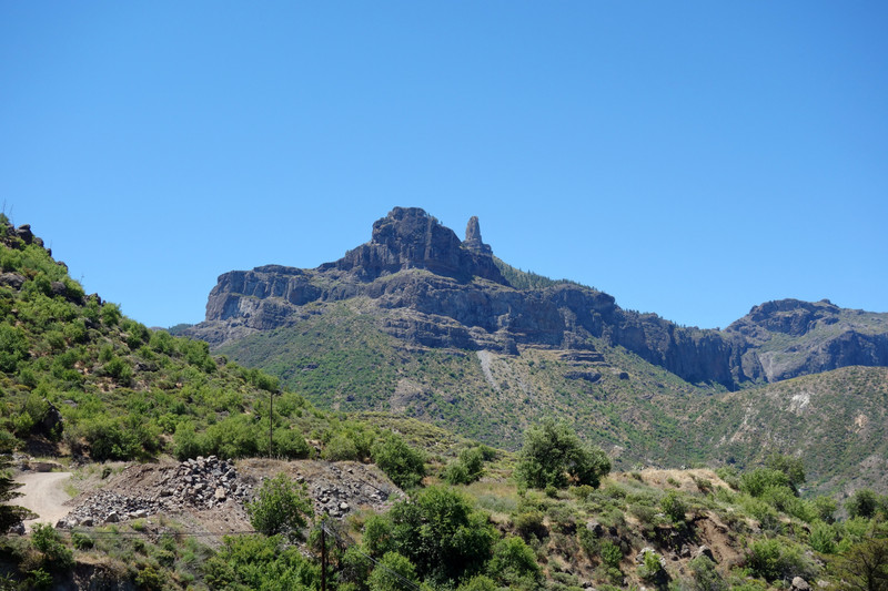
Back at Artenara and views to Roque Noblu (left) & Roque Bantayga (right). We would walk up Roque Bentayga soon
A more leisurely day this one, but great to find some beautiful pockets of the Island.
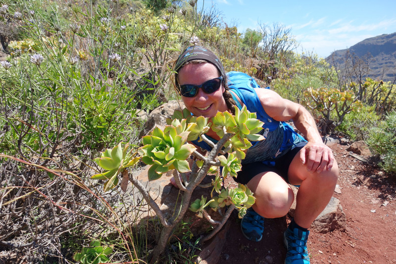
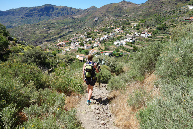
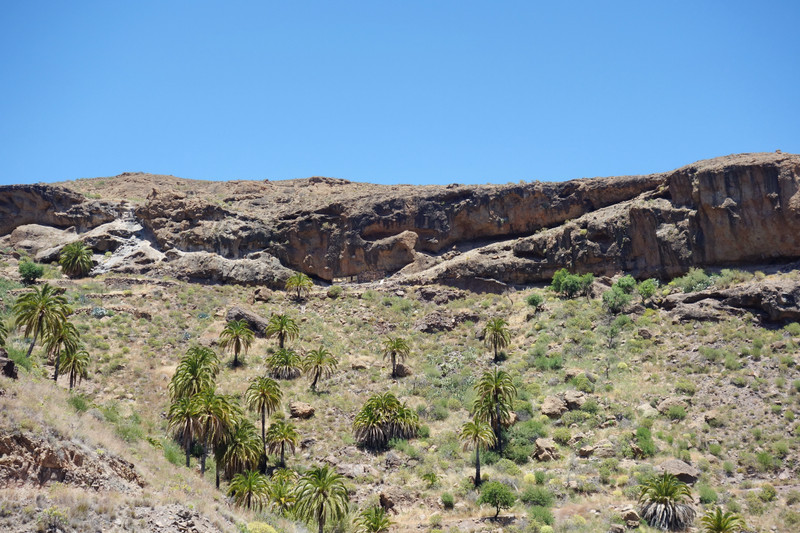
Day 4 - 2nd JuneLa Data/Soria CircularToday we drove South west to walk another circular route that took in some impressive scenery, lakes, and a quaint little village with a bakery(Soria)...shame the bakery was shut though when we arrived in Soria

The start of the walk is at a signpost at La Data, from here a very good wide path is favoured. We had a look at the map and decided to take a higher route that looked more interesting, turned out a good decision
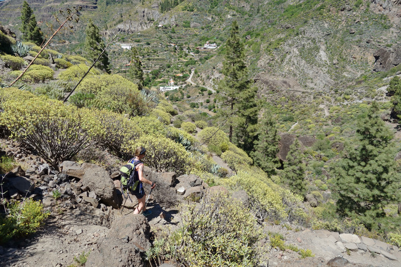
The alternative route
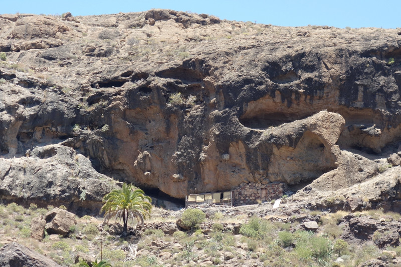
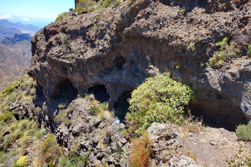
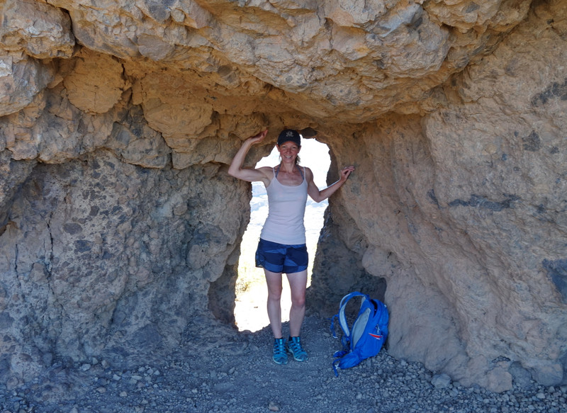
You soon come to high point above the cliff face with what looks like no way down, however it turned out there was a route that passed a cave. The cave looked habitated.
The cave
Our route down, from right to left centre.
Back on the main track, views to the reservoir.

Palm Trees
We would be ascending the mountain behind us

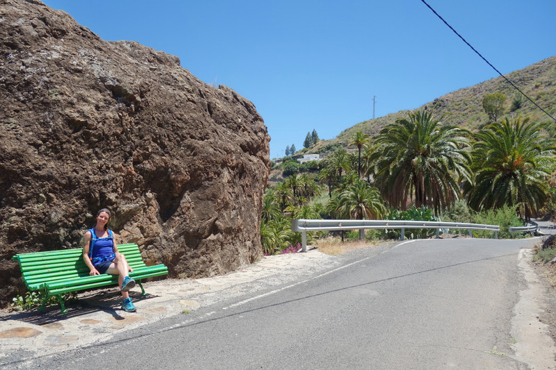
About half way you detour up to Soria, this provides a good view of the dam...and a seat
The dam
The seat
As mentioned before, the bakery was shut so we made do with some ice cream lollies and juice
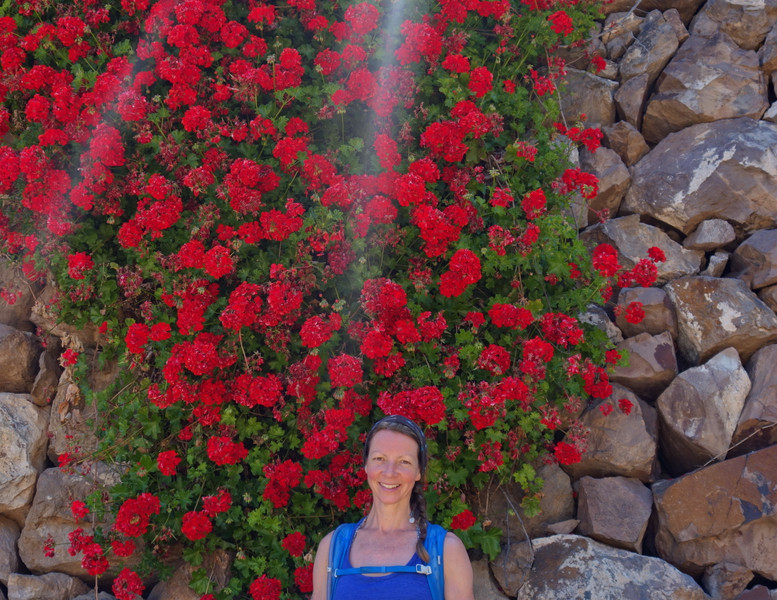
Refreshed we left Soria and picked up the main path, this led us steeply up the rock face.
Flower Girl
Onwards and upwards
A plateau is soon reached high up in the rocks
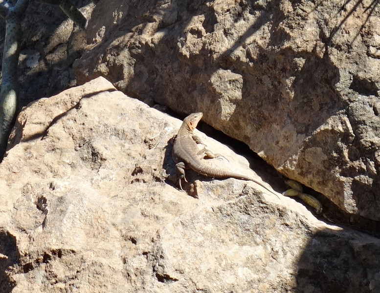
Lizard - Lots of them about!
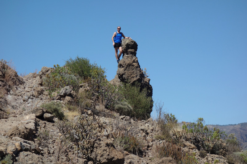
Balancing act

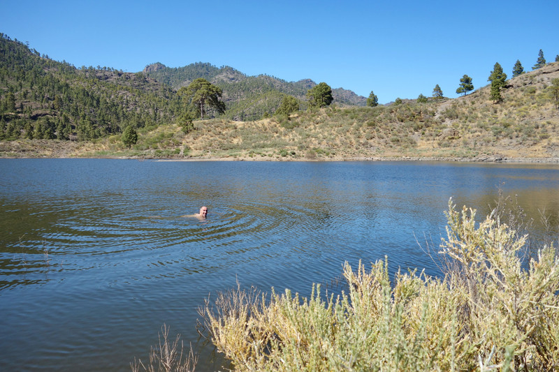
Traversing up over the rocky face was easier then it first looked. Once over the other side a lake came into view. We found a nice spot and went on for a swim
Looking out for a Japanese whaling Vessel

Brilliant walk this one, very diverse, and with a lovely lake near the finish to cool down in
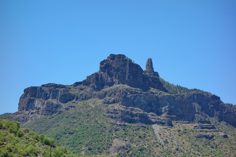
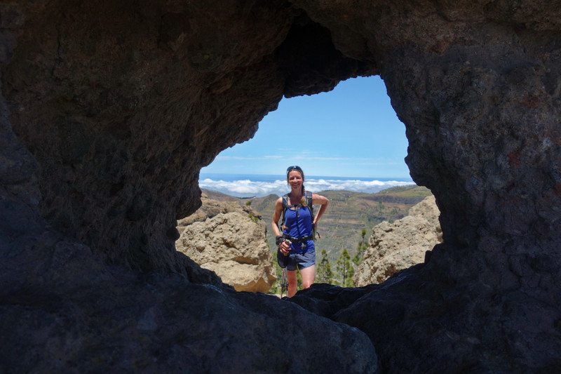
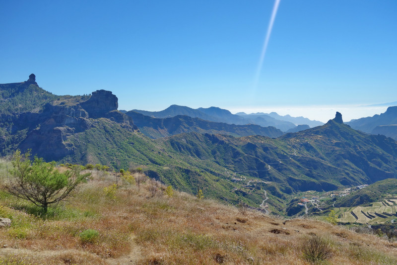
Day 5 - 3rd JuneRoque BentaygaRoque Bentayga is one of the most unique rock formations on the island of Gran Canaria and considered a sacred rock. Near the rock are the ancient Canarian aboriginal settlements of Cuevas del Rey and Roque Camello, which consist of a hundred caves with rooms, burials, and silos.
Bentayga is less visited than Noblu but is equally impressive. We drove to its car park and started the short walk from there, a musuem is also near the car park. We visited the musuem and watched a video detailing the history of the caves.
The start, and looking back at Roque Noblu

Roque Bentayga
Access to the caves is restricted via a rope, however no signs stating that people should not explore them...so we jumped the ropes and went expolring

The Caves
Exploring the caves


We had spent a couple of hours here so still had plenty time for another walk
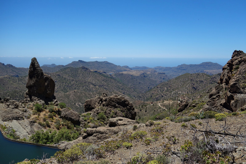
Cruz de TejedaThis was a walk we stumbled on by chance! It provided stunning views or Noblu, Bentayga, and Mount Teide on Tenerife.
Incredible Views
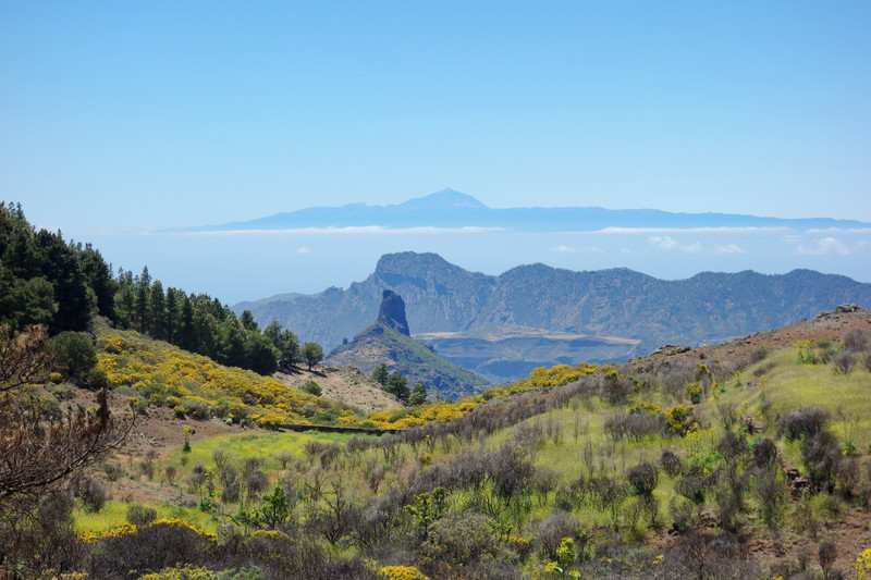

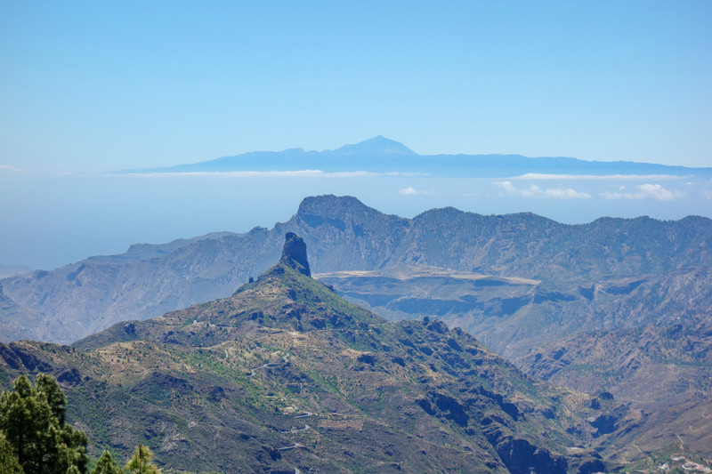
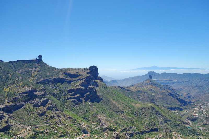
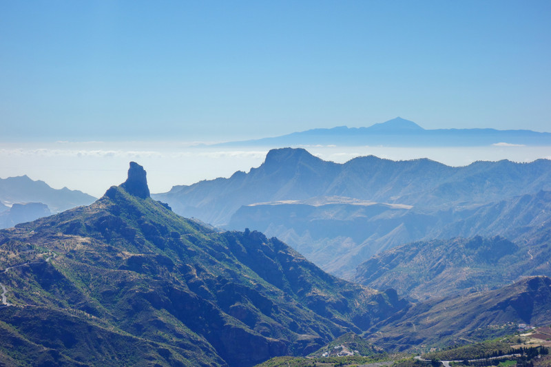
Even more incredible
These views were easily the best we witnessed, and again is total seclusion
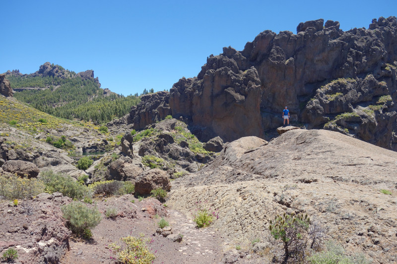
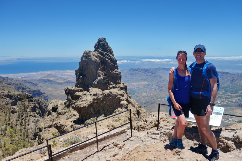
For our final day we would visit the highest point on the island - Pico de la Nieves
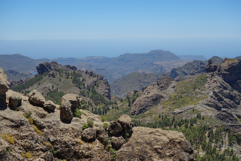
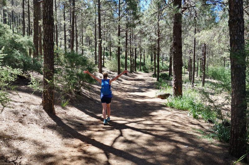
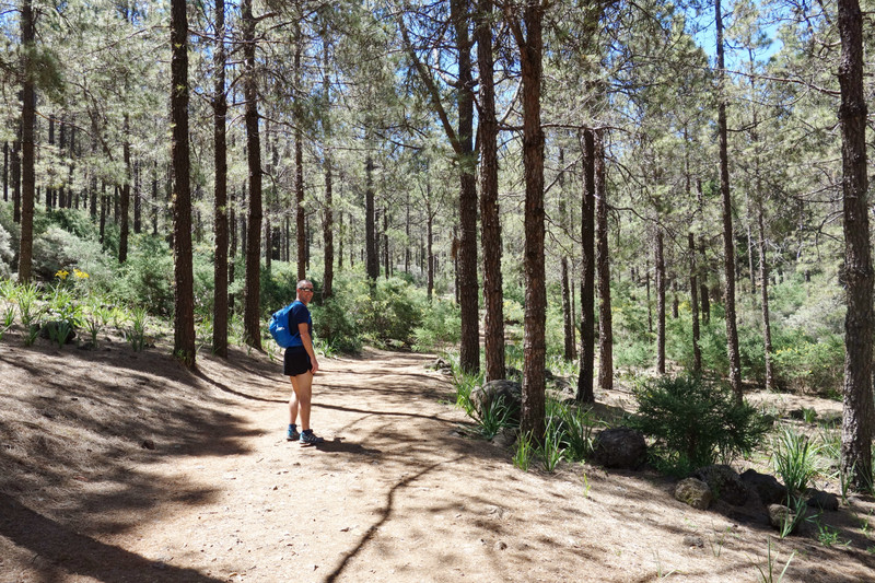
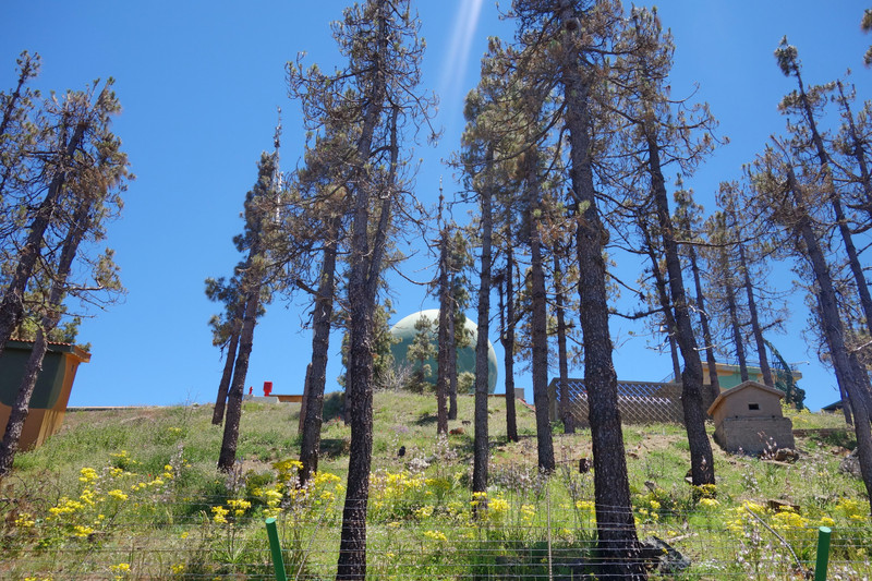
Day 5 - 4th JunePico de la NievesPico de las Nieves is the highest peak of the island of Gran Canaria. Its height is 1,949 metres (6,394 ft) above sea level. The origin is volcanic. On its slopes, Canary Islands Pine was reintroduced in the 1950s. Most of the highest plateau is occupied by a military base, including a large ball-shaped radar. We would walk a circular 10k route through lush woodland.
Starting the final walk of our trip to Gran Canaria, and 11 days of holiday which included 3 days in Ardnamurchan
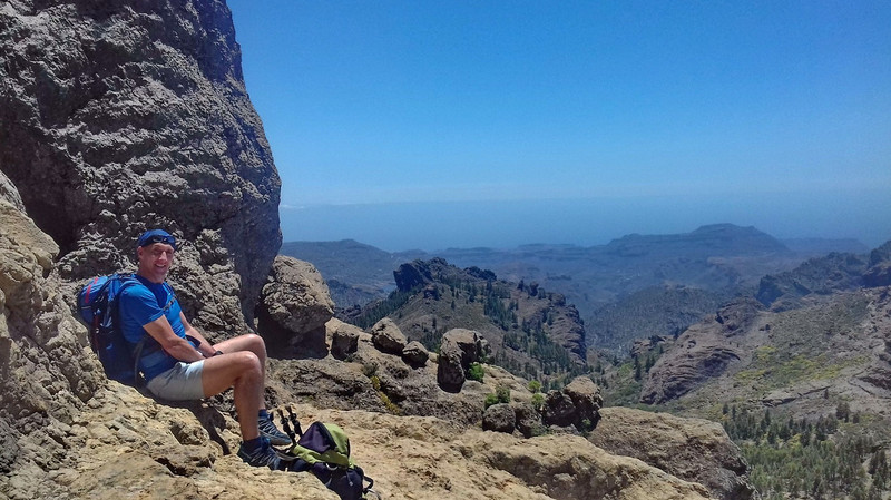
Higher up we also visited this peak, some scrambling involved.

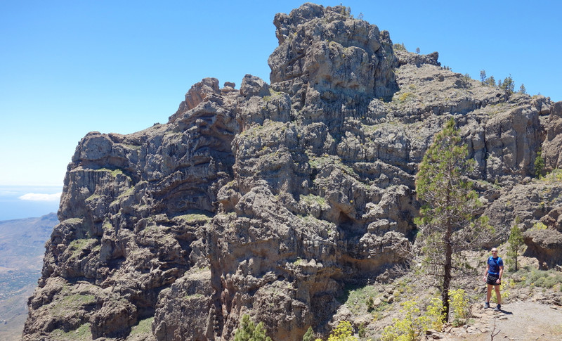
Looking over to the radar and Pico de la Nieves
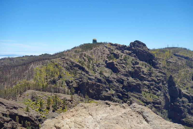
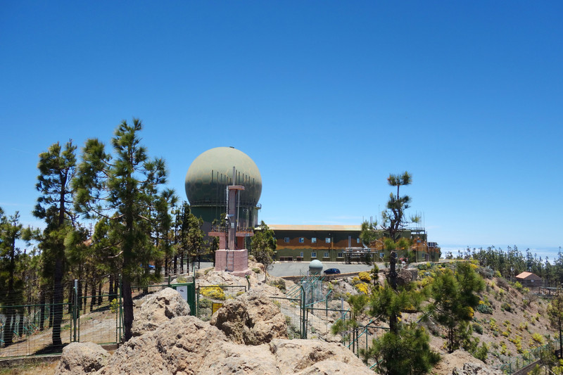
The heat was intense but we made good steady progress and soon stood on the highest point in Gran Canaria
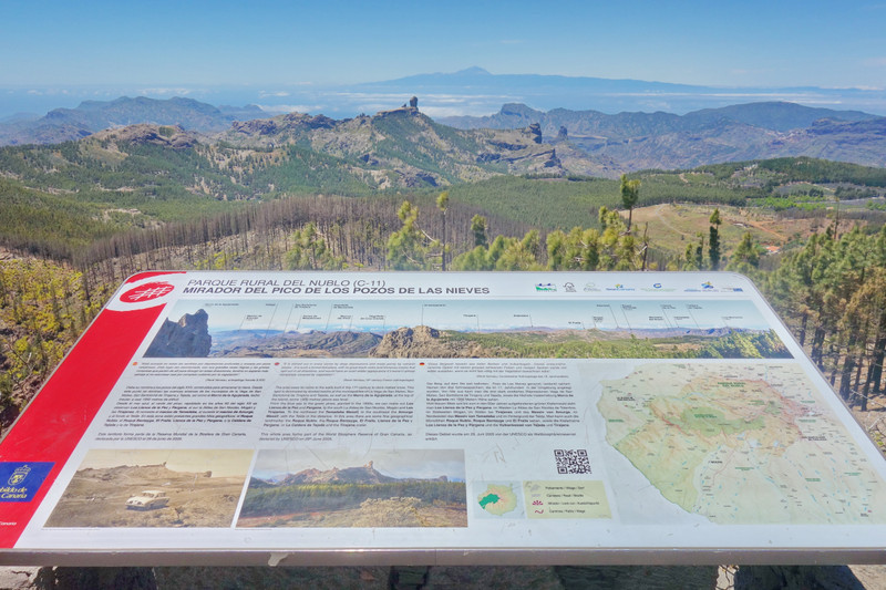
Information Board
Feeling hungry we decided to head back down into the woodland and find a nice spot for lunch.
Looking back up at the radar
Now immersed in the woodland


Finishing this walk quicker than anticipated meant we still had time for one more walk
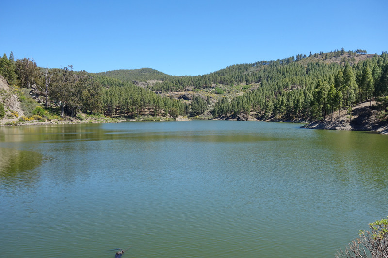
We took a stroll down to another lake which was situated near Roque Noblu
Heading down to the lake
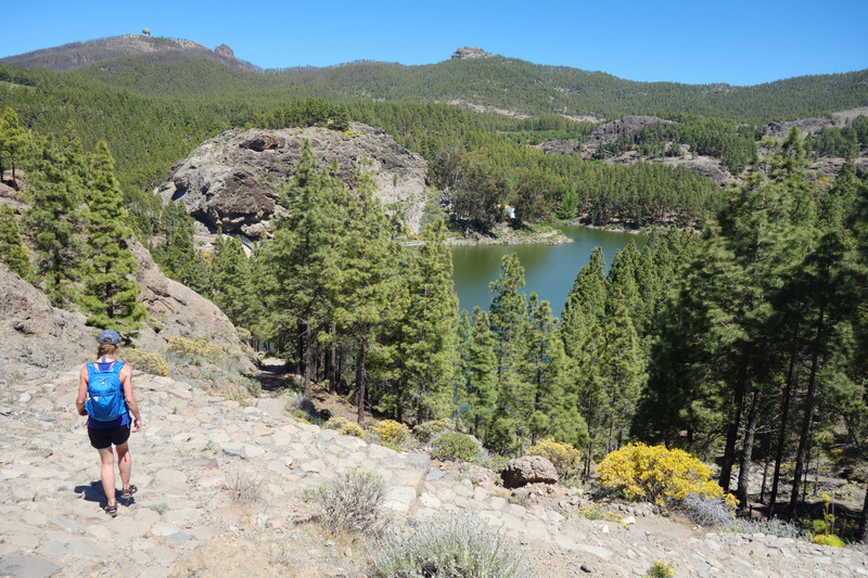
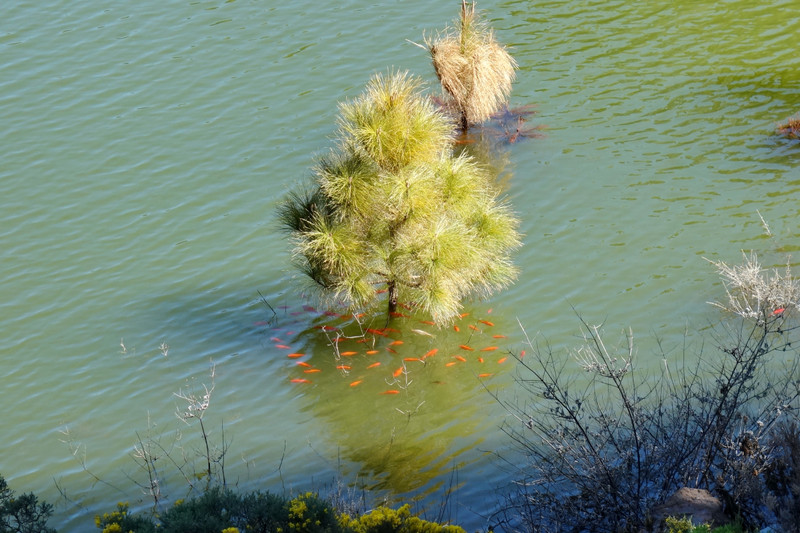
The lake
Fish taking shelter
We found a peaceful spot and lay on our towels, enjoying the last rays of sunshine...until a bunch of school children went past, all excited and making lots of noise! They all soon passed though and again it was tranquil
Unfortunately it was time to drive back to our accomodation, make dinner for the last time and pack our bags. Our flight was 06.45hrs which meant getting up at 03.00hrs
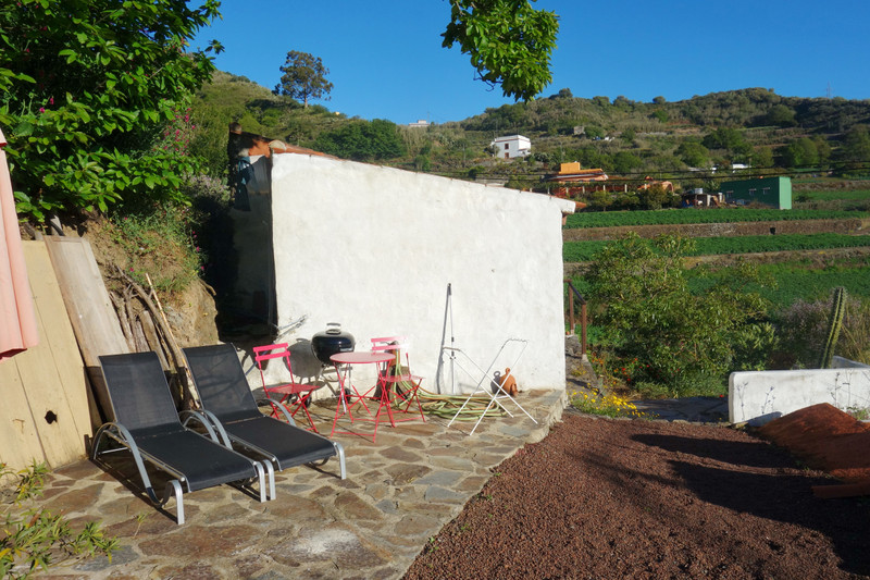
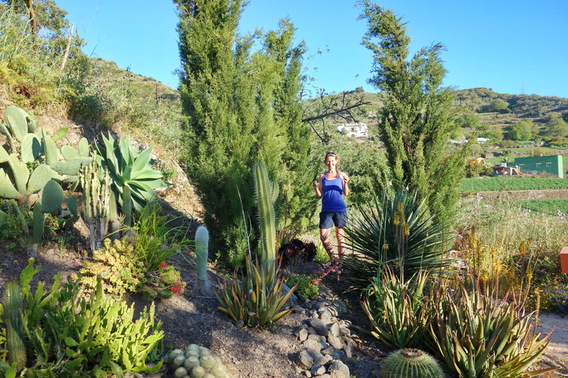
Photos of our accomodation & views.

Thankfully we made it to the airport with plenty of time to spare. Gran Canaria offers some seriously good hiking, and for all levels, the views are pretty sensational. Would I go back, yes to cycle...the mountain roads are amazing!
Big thanks once again to Fiona, especially for all the driving, not getting us lost, and making us some nice dinners
NB.
We used this map -
https://www.amazon.co.uk/Gran-Canaria-Tour-Trail-Super-durable/dp/1904946984Bought this guys guide book -
https://www.ramblingroger.com/And this guide book -
https://www.amazon.co.uk/Gran-Canaria-Rother-Walking-Guide/dp/3763348166/ref=pd_lpo_sbs_14_t_1?_encoding=UTF8&psc=1&refRID=6NK7S0JX0GFRTYK90H69I also had viewranger and digital Gran Canaria map but never used it, the paper map & guide books provided plenty information and the walks were very well signposted.
I would definately recommend Gran Canaria for a nice hiking holiday in the sun
