free to be able to rate and comment on reports (as well as access 1:25000 mapping).
On a miserable day a few weeks ago I was looking over the OS Map for the North Pennines, Teesdale and Wearside - Explorer 031 - and decided that I would like to get myself back up to Megs Cairn, a place that I hadn't been to for a couple of years, but this time I would like to put a few unclimbed - by me - local hills into the equation, seven in total giving me a decent walk with a fair height gain. The hills in question were to be Rusby Hill, Ladslack Hill, Muska Hill, Cuns Fell, Catterpallot Hill, Deep Slack, and Sharp Shears with a return along the old Roman Military Road of the Maiden Way part of which I would use for the climb up to Megs Cairn. But as the weather dictated I had to alter my plans for this walk on the western flank of the Pennines.
Friday was sunny from dawn and as the night had been very warm it promised to be a hot day and so it proved to be as when I arrived at the small car parking area - NY650325 - at the village of Kirkland at 9:15am it was already 20°c in the shade of the trees surrounding the car park where I quickly got prepared for the job in hand.
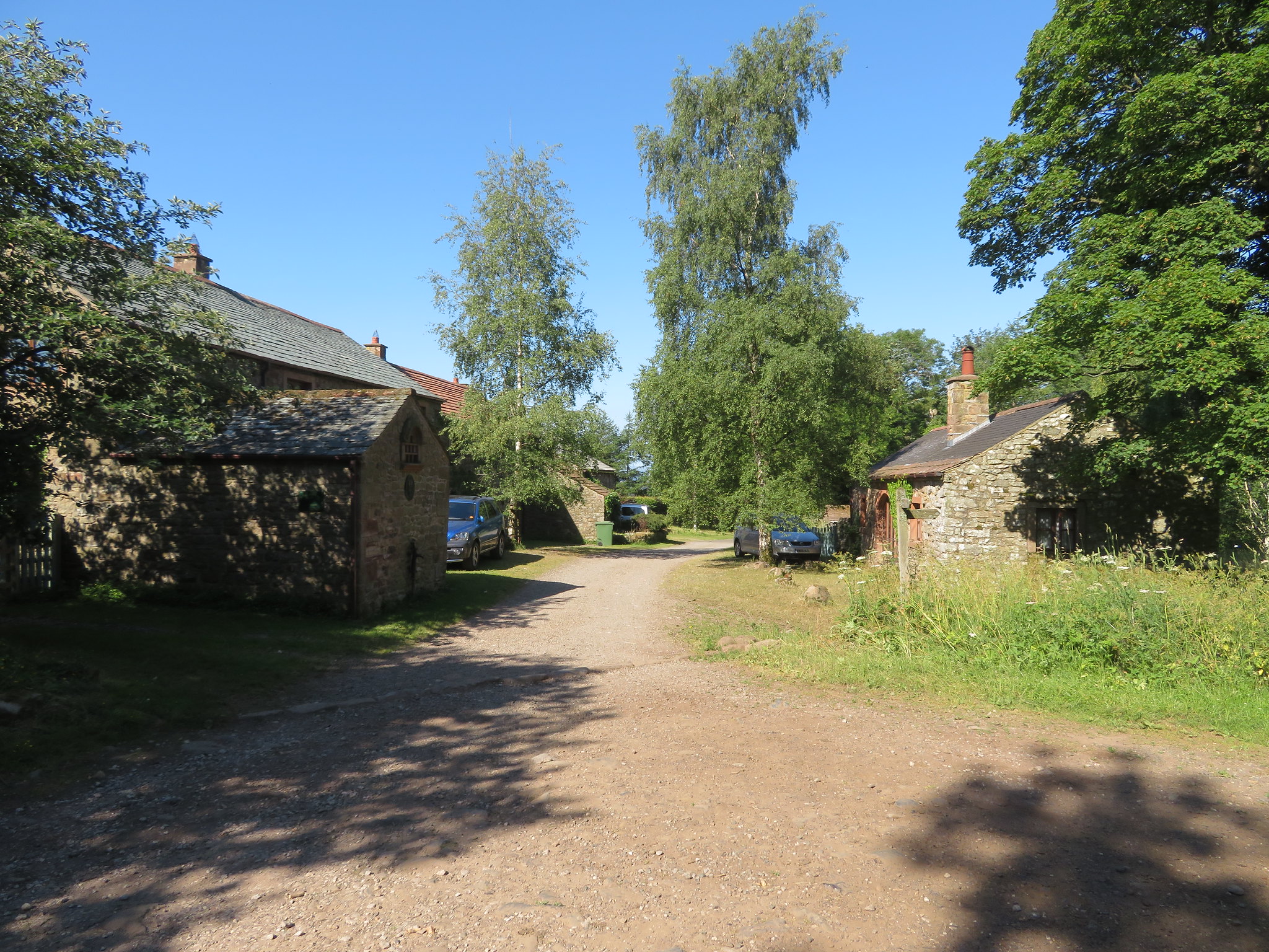 The hamlet of Kirkland
 Kirkland is an old village that dates from at least 1100AD and has passed through many families due to perhaps change of loyalty to whoever reigned or through a marriage that enhanced the fortunes of both families. Its economy was built on farming and extensive mining for lead on the slopes of Cross Fell, coal and iron from around the Ardale Beck area with limestone being quarried from high on Ladslack Hill evidence of which can be seen at close quarters as the walk progresses.
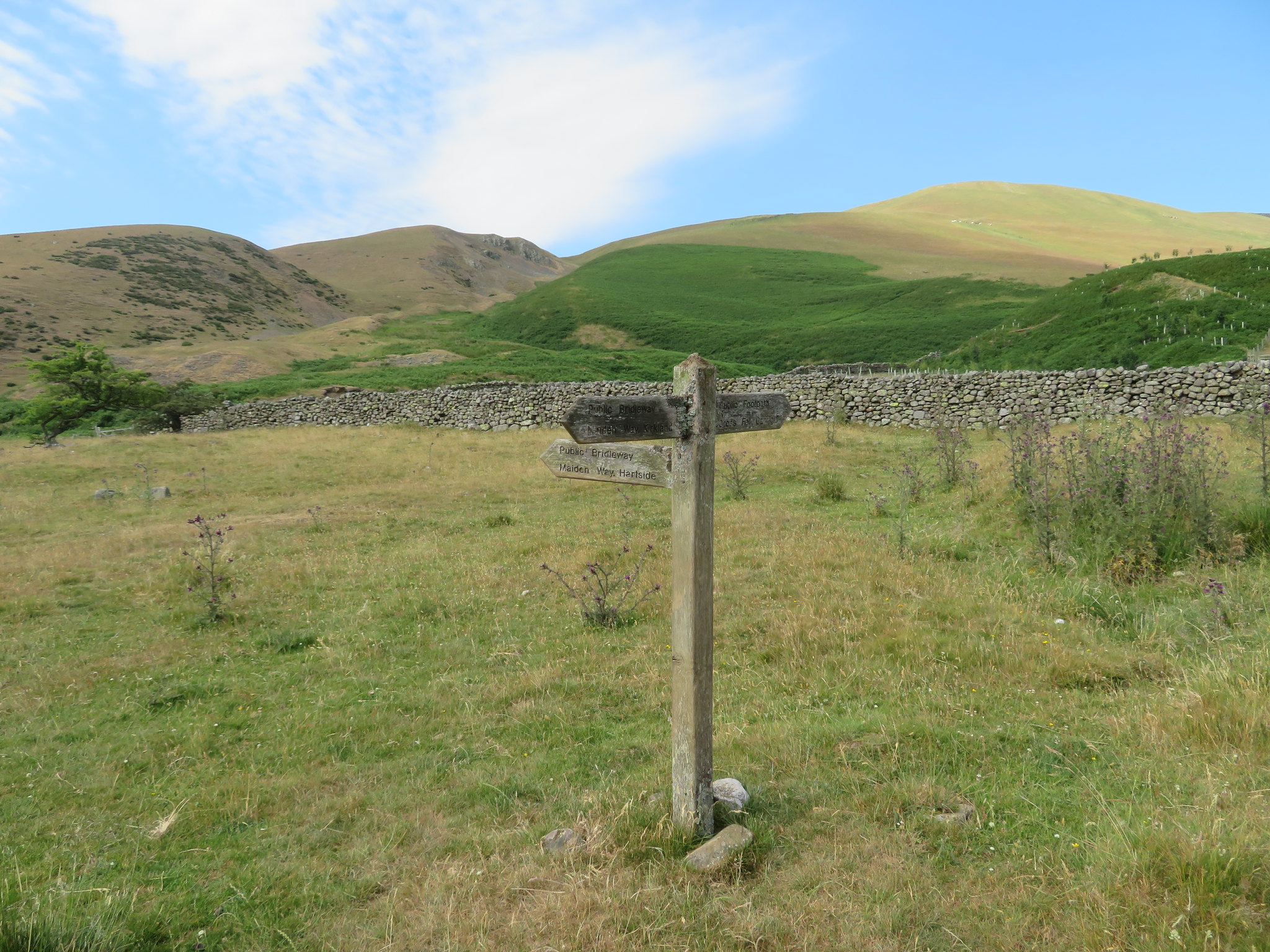
The start of the walk is pretty mundane as Kirkland is left by walking west along the metalled lane past the few buildings to then cross Kirkland Beck by a fairly wide bridge that has one of those old cast iron, black and white painted, multi-fingered posts that gives the traveller many options of which way to go. But as I crossed the bridge I then turned to the west again - left - to walk along the road to Skirwith, but a few metres after passing the bungalow that goes by the name of Flosh I turned to the north along another metalled lane signposted for 'The Maiden Way to Hartside' that leads on to Bank Hall and this is where I made an error of navigating as I missed my next turn through no fault but my own as I was enjoying the scenery and sunshine. I only realised that I had gone too far when I reached a gate and a concrete track leading on to the farm, so turn around I did and walked the short distance back to the place where I should have left the metalled lane.
My way forward was now through a gate that has a large grass roller parked up at the side of it, a gate that would put me on to a dirt track, a bridleway that leads on through hay meadows and trees to arrive at Townhead.
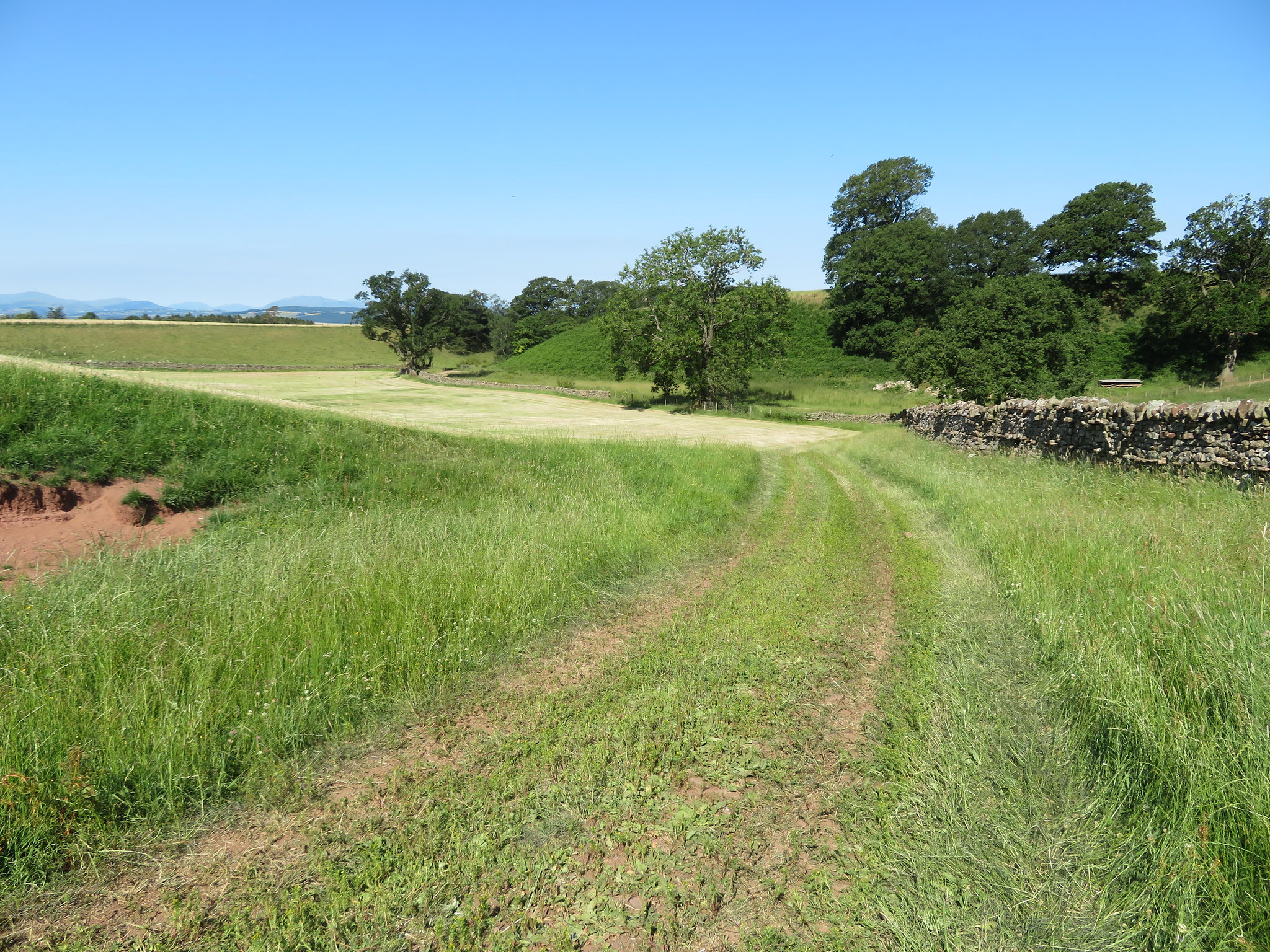 Through the hay meadows
  A dusty lane through the trees
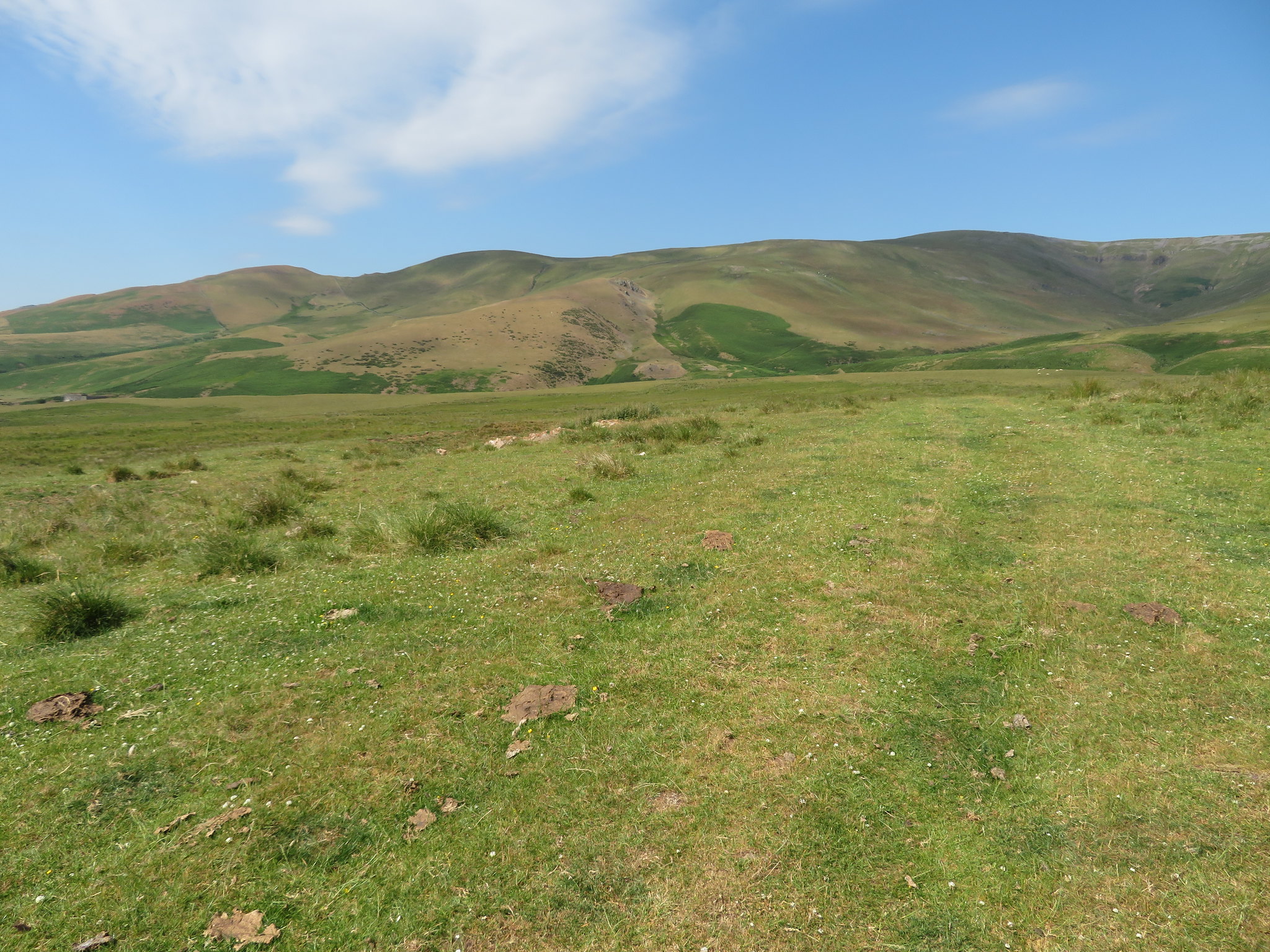
 The walk between Kirkland and Townhead is pleasant enough with a variety of ground beneath the boots be it either grass, dirt, stone, or a bit of tarmac and for most of the way the comforting skyline of the Lakeland mountains are to be seen to the west with the hills of the Pennines to the north and east.
I soon arrived at Townhead where the metalled lane starts its way northwest and the dirt lane heads off to the east and there are but a few farm buildings here, the last to be passed for quite some time. I took the lane to the east to Townhead Farm where I had to stride over a rope that was across it, there to stop the cattle wandering down to Ousby or Melmerby and as I did so the farmer gave me a cheery wave as he passed on his quad bike.
I was now following the lane towards Capple Hill, a lane that runs through pastureland and hay meadows with evidence of the first cut having been made, if it's for silage, and with the sun shining, cattle grazing and the smell of new cut grass in the nostrils this was certainly a fine place to be. The sky was a perfect blue with nary a cloud shadow skipping across the fells in front of me and the single line of a Max Bygraves song from the 1956 film Charley Moon came to me for some reason, "up there the sun is a big yellow duster polishing the blue, blue sky."
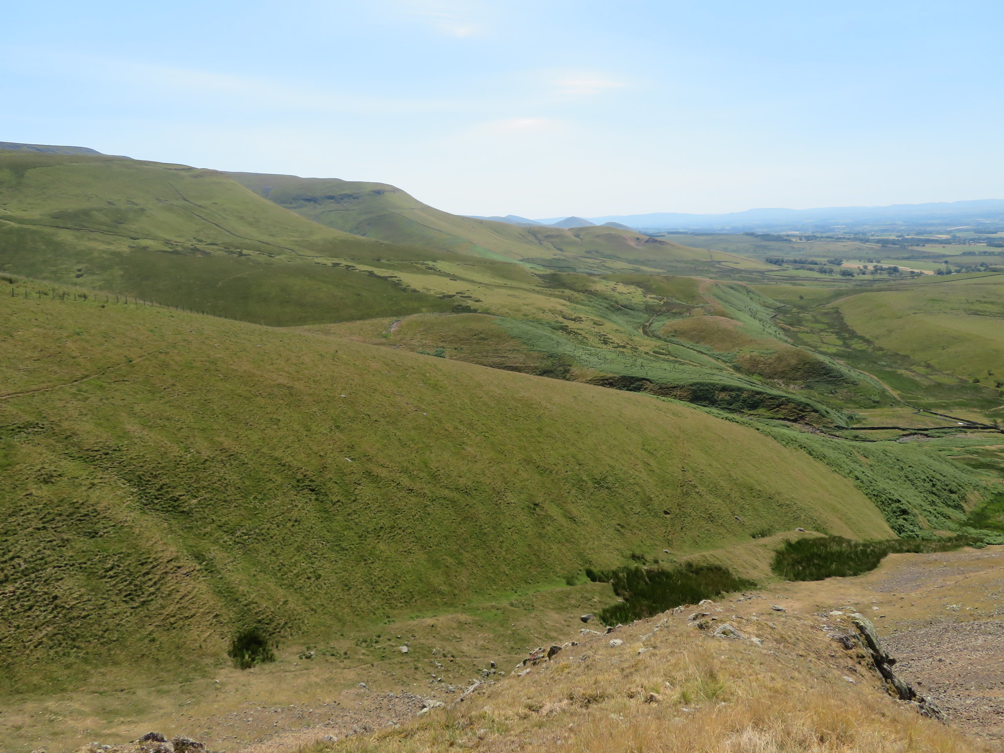
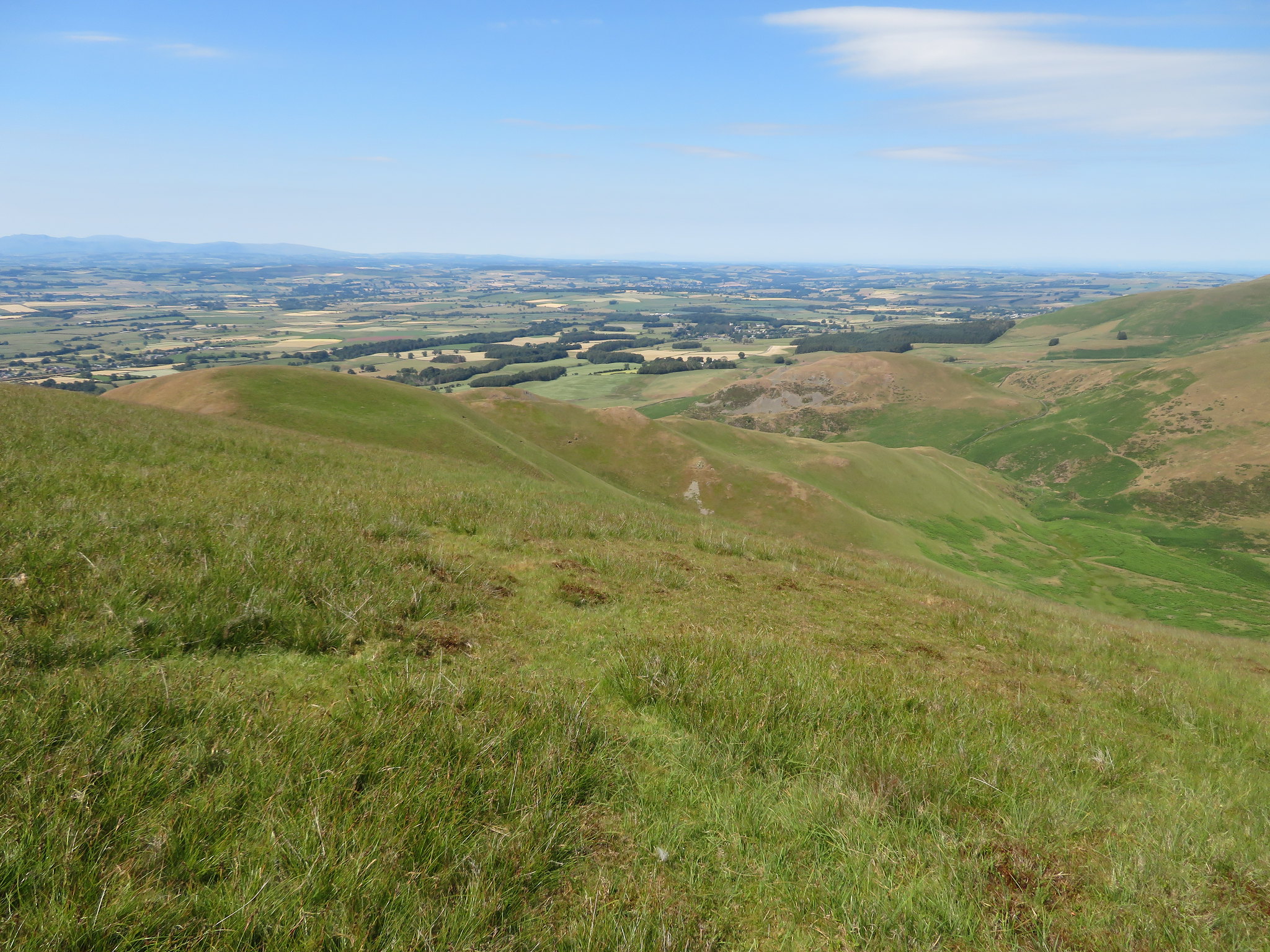
 Looking to Rusby Hill - Grey Scar and Cross Fell
 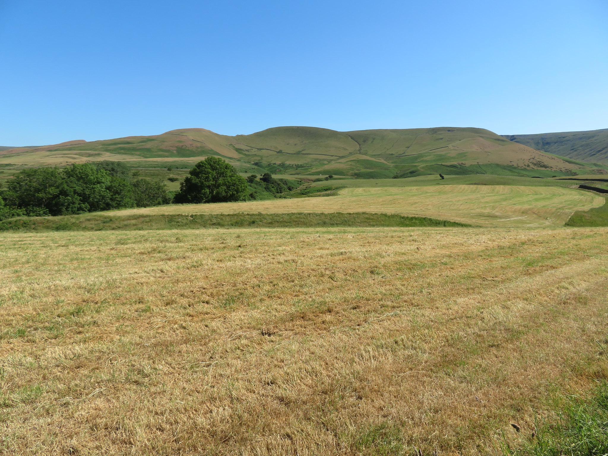 Northwest to Rusby Hill - Muska Hill and Catterpallot Hill
Since leaving Townhead I've been walking just north of east and I barely notice Capple Hill as I pass over it and Acorn Sike and a few minutes later I was in the hollow at Ardale Beck with the remains of a giant lime kiln over on the opposite bank…
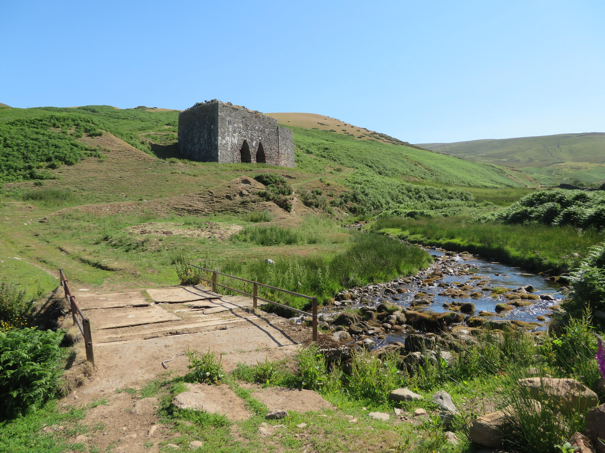 Lime Kiln at Ardale Beck
 sat well up the hillside there to receive its daily supply of limestone that was burnt to produce quicklime that is used for a variety of purposes including spreading on the fields where the ground was too acidic, lime mortar, medicines, glass and a whole variety of other products that one wouldn't think about. Both the kiln and associated tramway are now a scheduled monument. A brief description can be found below.
Townhead lime kilns and tramway on Ladslack HillThe monument includes Townhead lime kilns and associated features
including approximately 700m of the lower part of a tramway down which
limestone was transported from quarries high on Ladslack Hill. The kiln
and adjacent associated features are located a short distance above the
north bank of Arndale Beck while the tramway runs from the kiln uphill
across the south eastern slopes of Rusby Hill and onto Ladslack Hill.
The lime kilns are of mid to late 19th century construction and consist of
a massive limestone double kiln up to 8m high built from a combination of
mixed limestone rubble, boulders and dressed stone. Each kiln has three
draw holes or eyes set within unusual and elaborate pointed draw arches.
Limestone and fuel was added via a single firebrick-lined oval-shaped
charge hole measuring 7m long by 2m wide. A huge limestone buttress flanks
the eastern side of the kiln and is thought to have supported a crane or
hoist for transferring limestone from the end of the tramway into the
charge hole. To the rear of the kilns there is a large sub-circular flat
area thought to be a storage point for stone and fuel awaiting burning.
Adjacent to a track a short distance to the west of the kilns is a
horseshoe-shaped enclosure about 10m in diameter which is thought to have
been used to store burned lime awaiting transportation. A tramway down
which limestone was transported from the quarries to the kilns runs
steeply uphill and the part included in the scheduling runs from the kilns
for approximately 700m to NY65203484. The rails remain in situ although
largely grass-covered. In places the tramway runs as a low grass-covered
stone and earth embankment up to 4m wide whilst in other places it runs as
a hillside terrace or a shallow cutting up to 1m deep. The kilns are all
draw hole type kilns which were used to burn limestone. Typically the
limestone was tipped into the kilns from above via the charge hole then
burned using wood, coal or coke as a fuel. The resultant quicklime, also
known as birdlime or slaked lime, was then shovelled out from the draw hole at the bottom of the kiln.
More information can be found at:-
https://ancientmonuments.uk/119298-townhead-lime-kilns-and-associated-features-including-part-of-a-tramway-on-rusby-hill-and-ladslack-hill-ousbyCrossing the bridge the lane now swings to the north along a wide grassy track that gets quite steep as it climbs up behind the kiln and as it's so hot I stopped a couple of times for a sip of water. I had my sights set on Rusby Hill…
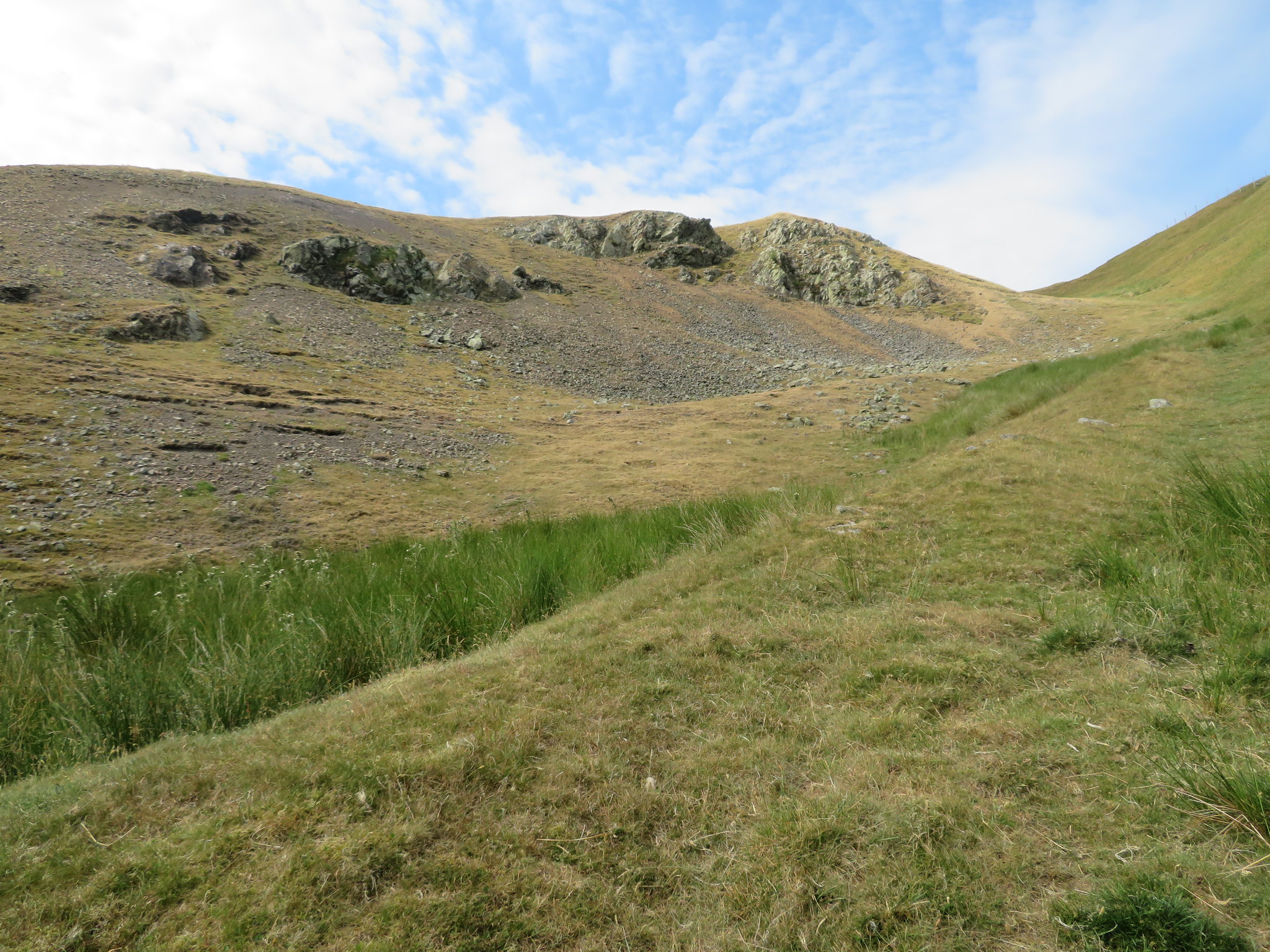
 Rusby Hill
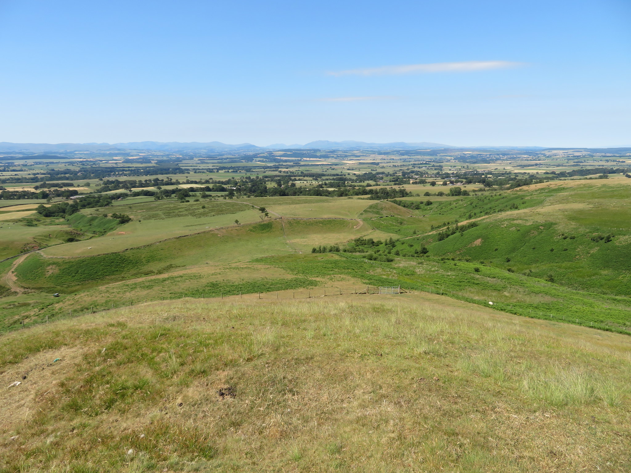
 and at 352 metres in height is not a big hill by any means and I had to climb quite a way along the green lane that was once part of the tramway before reaching an old wooden gate that gave me access to it. I then had to drop into a hollow of rough pasture land that is full of rushes and a fair amount of bracken but the going was alright as I made my way towards the hill by a circuitous route that took me over the easiest contours and slope to the summit. It's a nice little hill with some good views all around, covered in grass but no cairn. The view west will remain the same throughout the walk with the Eden Valley before a backdrop of the Lake District mountains with lesser fells at either end dominating the skyline. It was a little hazy but with a near cloudless sky one shouldn't grumble.
To the north there is…
 Sharp Shears and Muska Hill
 and then east to…
 Ladslack Hill from Rusby Hill
 then to the west…
 Across the Eden Valley
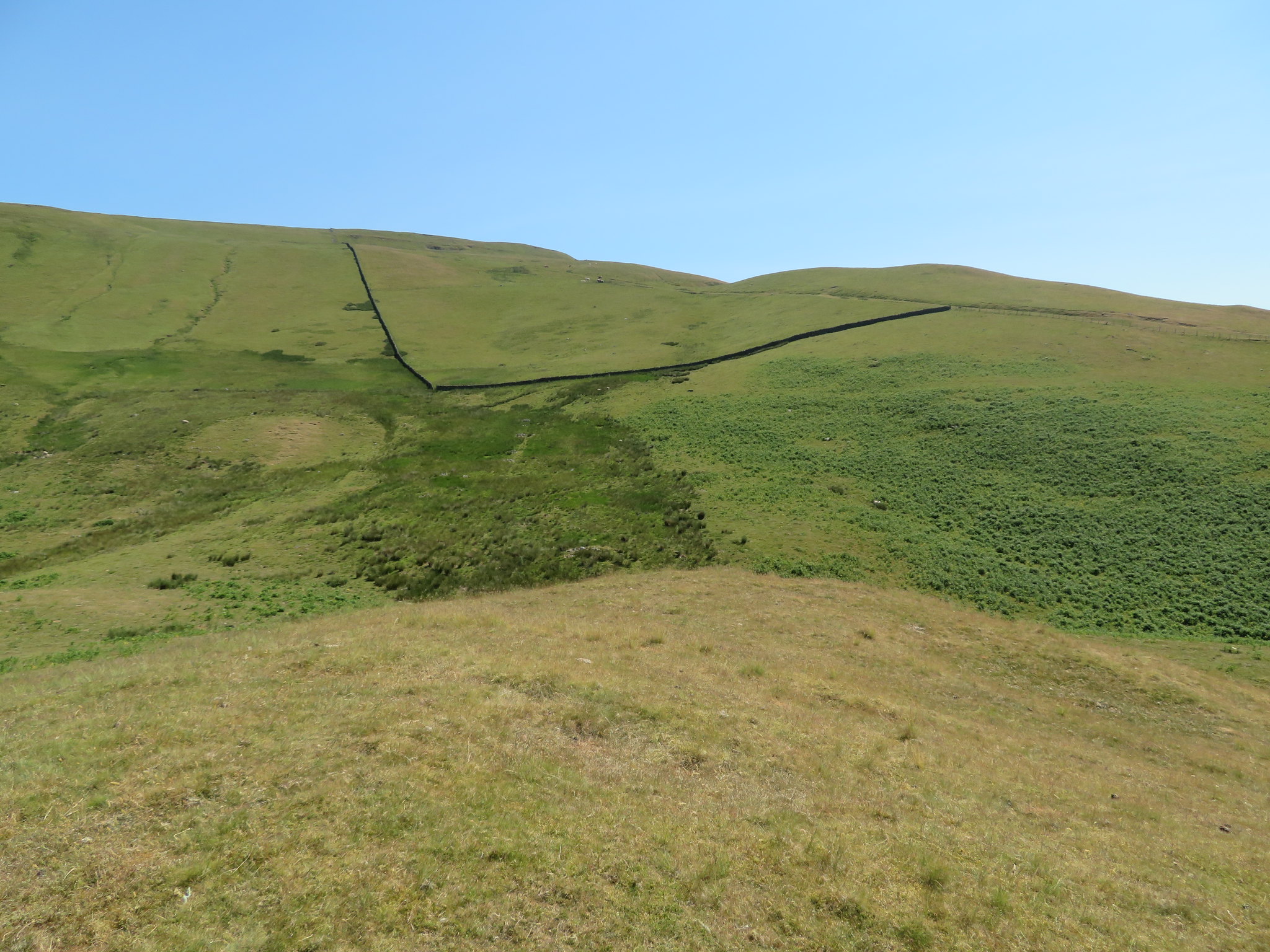
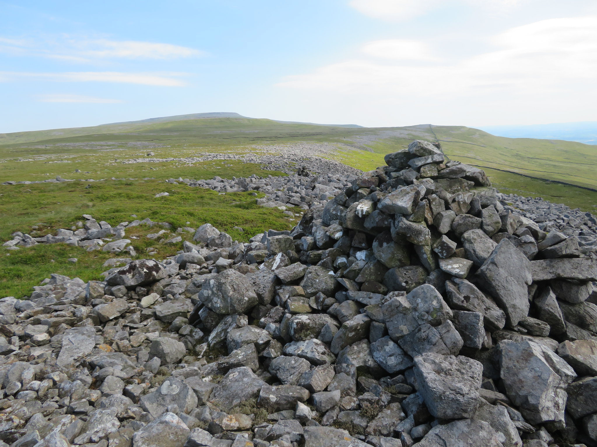
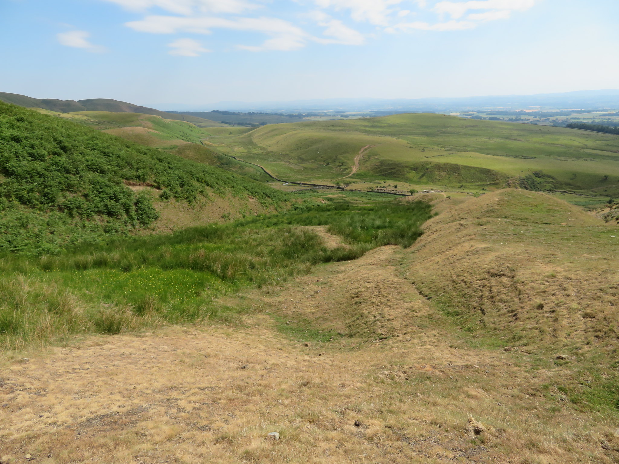
 and after the photos were taken I took a long look to the east for the best way out of this large hollow that the hill is sat in. The easiest way that I could see was to climb the hillside towards the corner of the two walls below Ladslack Hill and then follow the one going northeast back up to the old tramway which is what I did and soon arrived at it just before its junction with the Maiden Way that climbs up Lad Slack. The old rails are just visible through the many years of grass growth that is slowly but surely covering it in nature's cloak.
 The line of the old rail tramway along Ladslack Hill
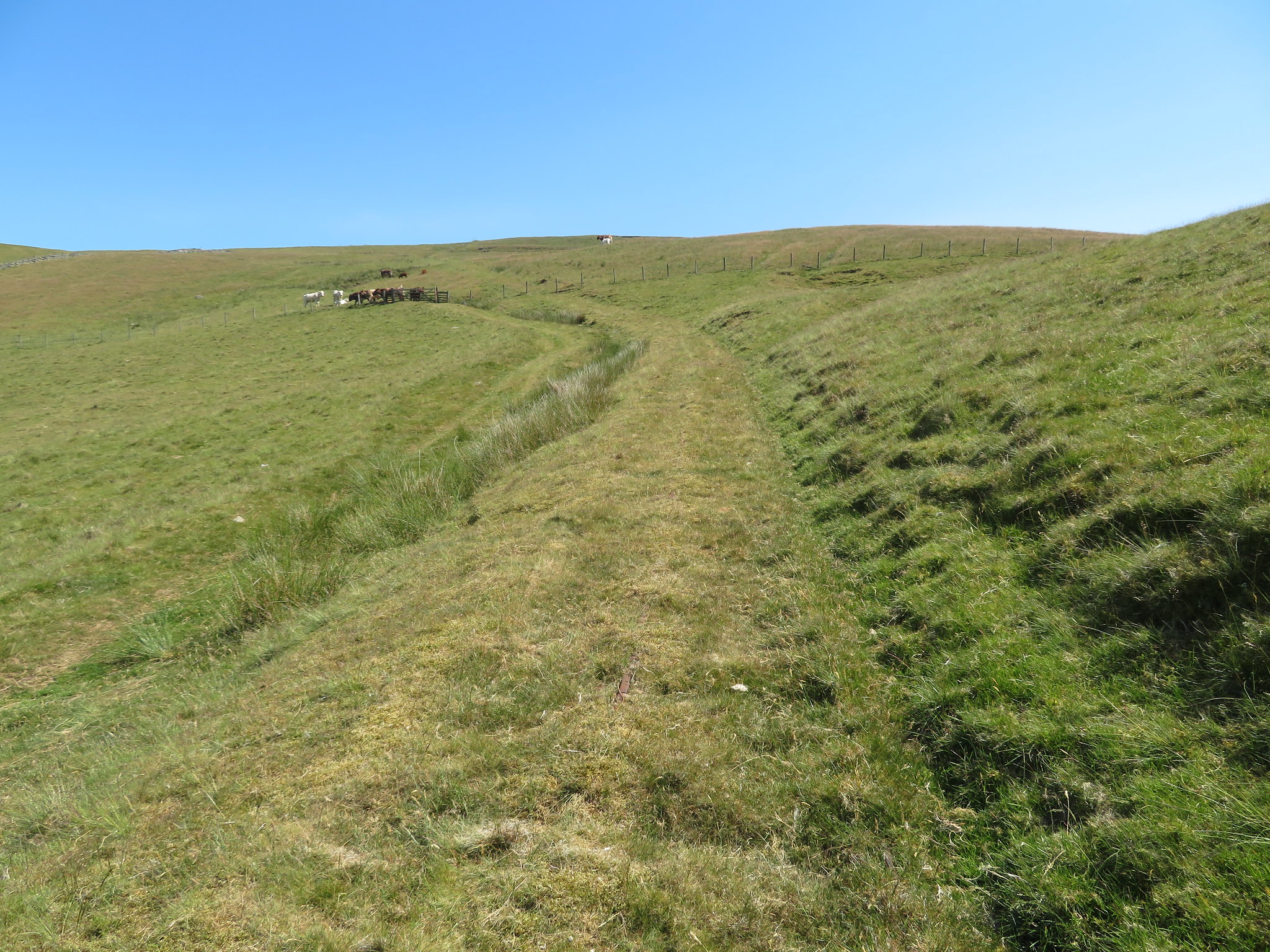
 A herd of free range cattle with calves had congregated at a gate in the fence just higher up the fell and I was hoping that by the time that I had climbed onto Ladslack Hill, taken a few photos and got back down again they would have lost their curiosity and wandered off.
 View from Ladslack Hill
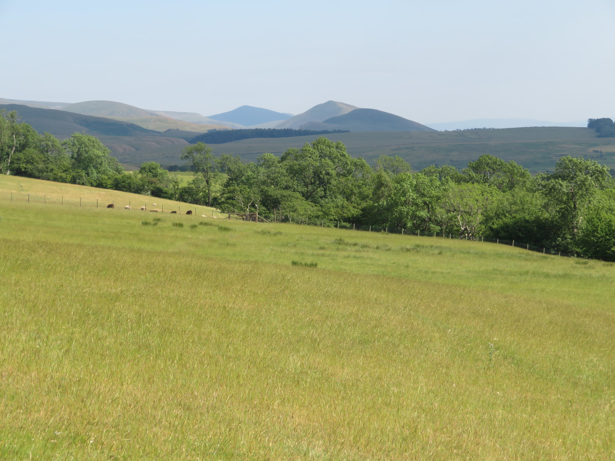
 From the summit I could see the course of the old military road running along the grassy rake of Lad Slack below me and followed its line right across the wide natural trough of Ardale Beck to then climb along the opposite fellside as it made its way to Kirkland and finally the Roman Fort of Bravoniacvm at Kirkby Thore. The height of the summit of this hill is not marked on the map but looking at the contours it won't be far off 416 metres in height, is grassy on its western flank and craggy on its eastern one as it overlooks Lad Slack. Looking southeast I could see Burney Hill, Flagdaw and the tops of Knock, Dufton, and Murton Pikes all lined up in the distance.
 The course of the Maiden Way lies below
 I heard a noise from behind me and upon looking around I saw the cattle making off at a great rate of knots and a shepherd arriving at the gate on a motorcross bike and I thought that made a change from using a quad bike and also that he had most likely saved me a lot of trouble getting past the cattle.
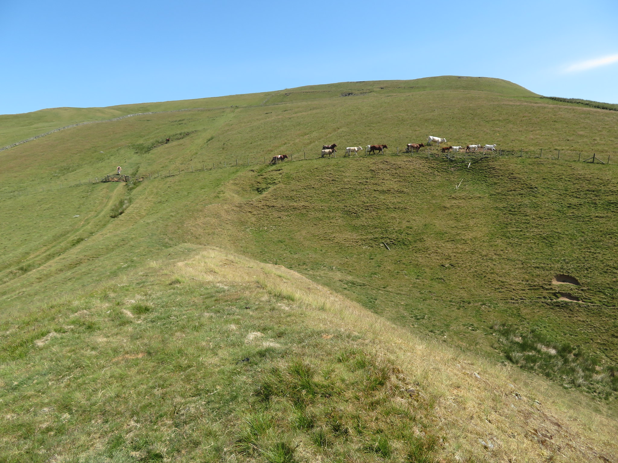 Cattle running from shepherd on a motorbike
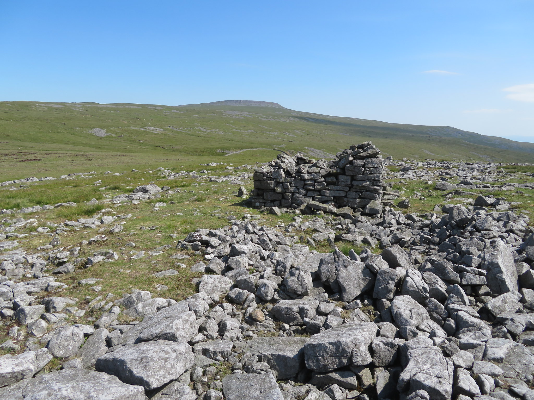
I met him as he got through the gate and we had quite a long chat with one topic being the tramway and the quarrying. He told me that the quarry that was higher up the fell had proved to be unproductive so the tramway was never used, and right enough when I arrived at the disused quarry at Man at Edge it had hardly been worked with just the sod removed and a bit of stone taken out of it. The quarry could scarcely be seen from the tramway but there are the remains of an old building…
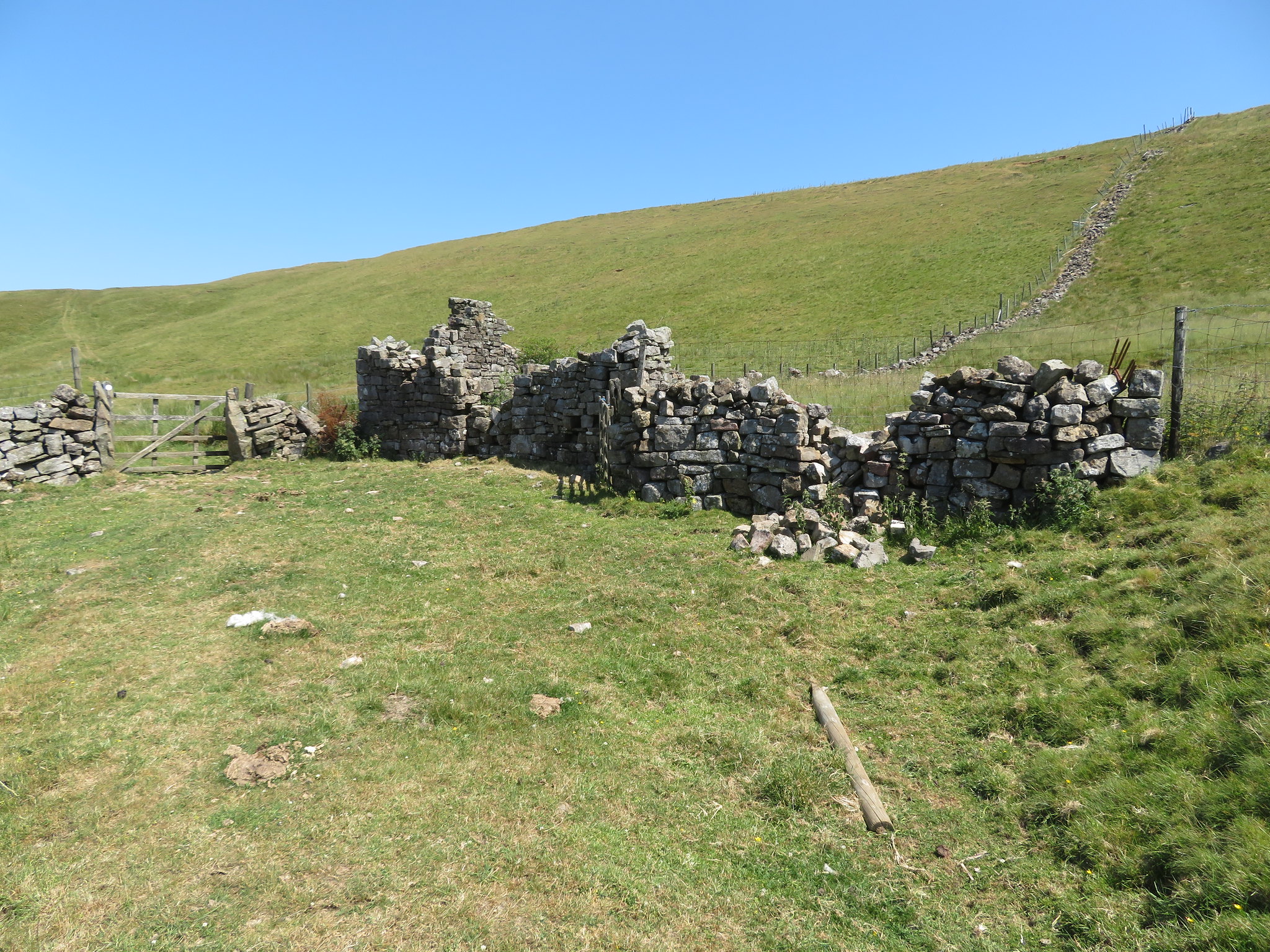 Old quarry building at Man at Edge
 left alongside the old Roman Road and an old wooden gate leading into the higher pastures that form the west side of Brown Hill.
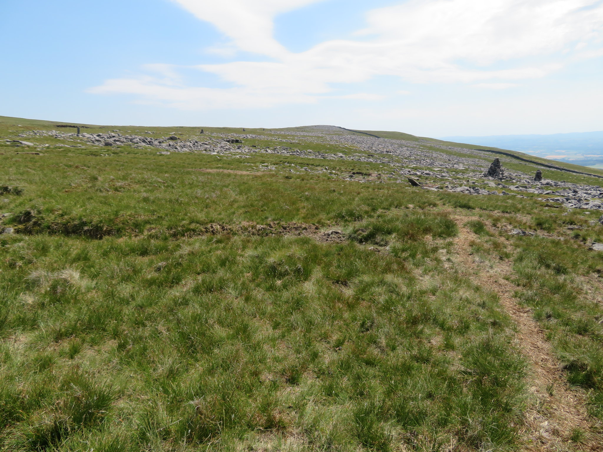
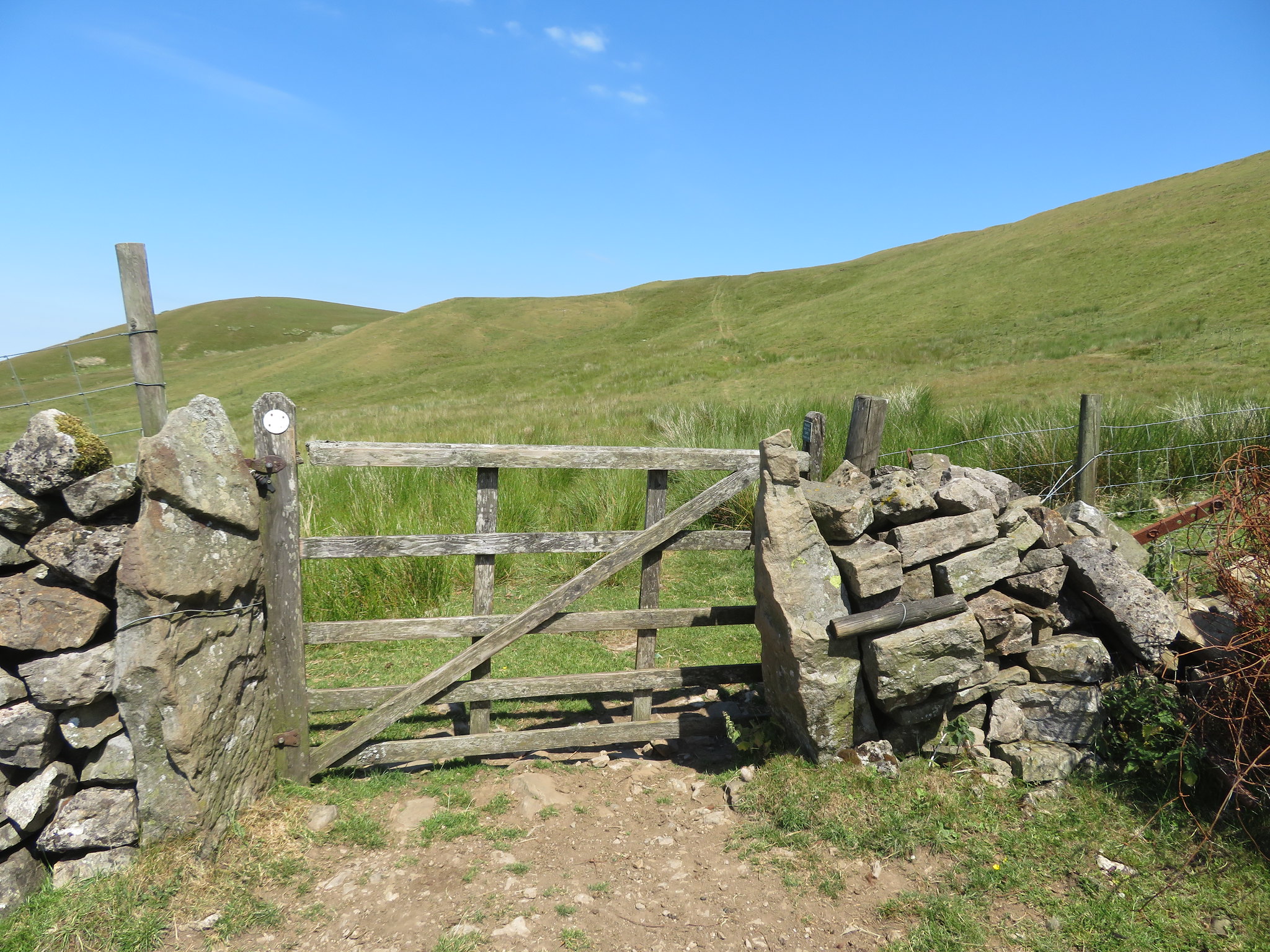 Follow the Maiden Way to Muska Hill
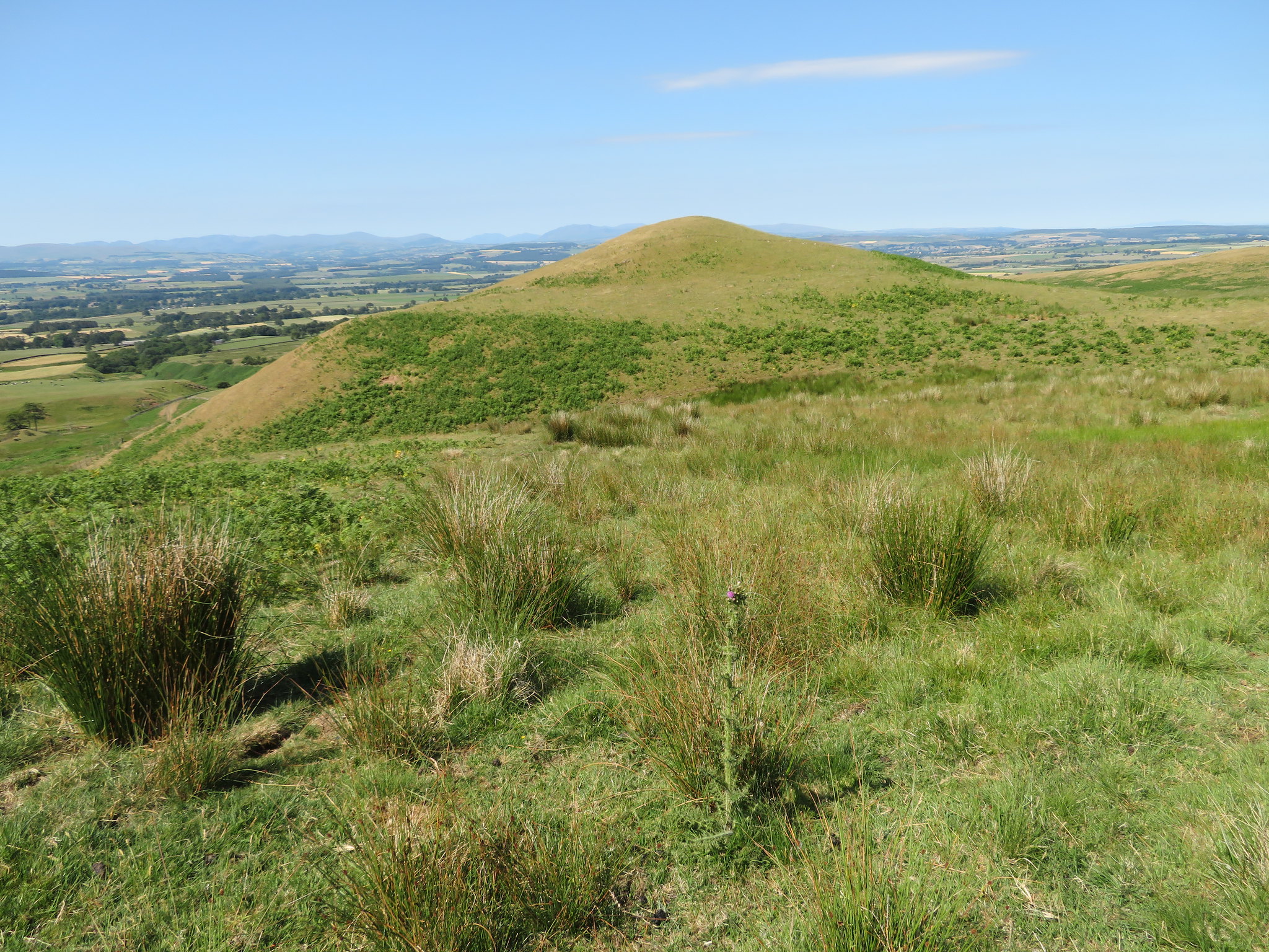
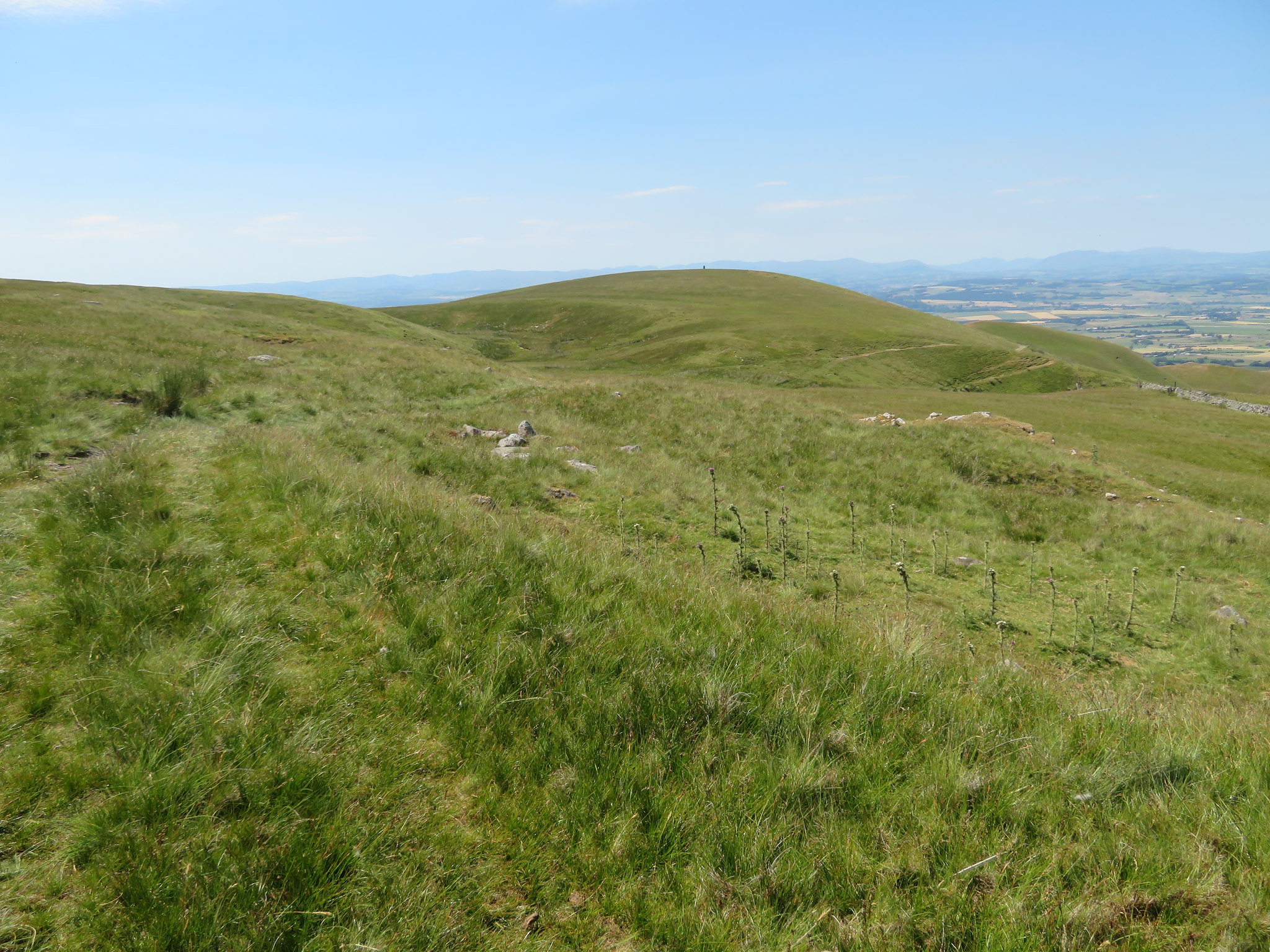
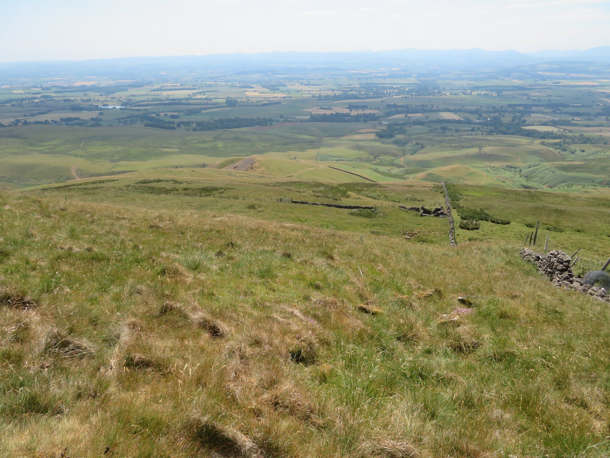
 From this point the ground eases off quite a lot and the going was much easier in the heat that just seems to increase in temperature, but then again it would do as the sun isn't at its zenith yet. It's so hot that I'm drinking a lot more than I usually do and with quite a way to go and hills to climb I was trying to be frugal with my fluid. The next hill on my list of to do's is Muska Hill that sports a large currick that can be seen from quite a distance away and like the first two is a grass covered hill but on a far larger scale than they are and at 536 metres is second only to Cuns Fell at 539 metres.
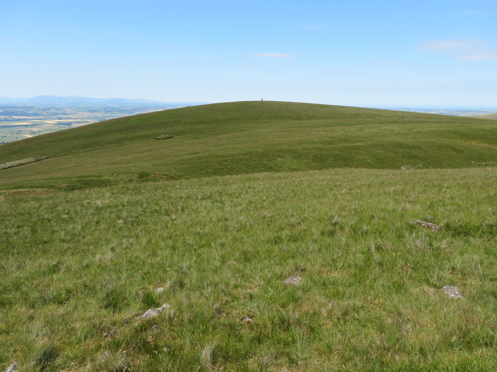 Muska Hill from the Maiden Way
 I left the Maiden Way just after passing a second disused quarry still walking north into a depression before swinging around to the west to climb the easy slope to the tall square currick…
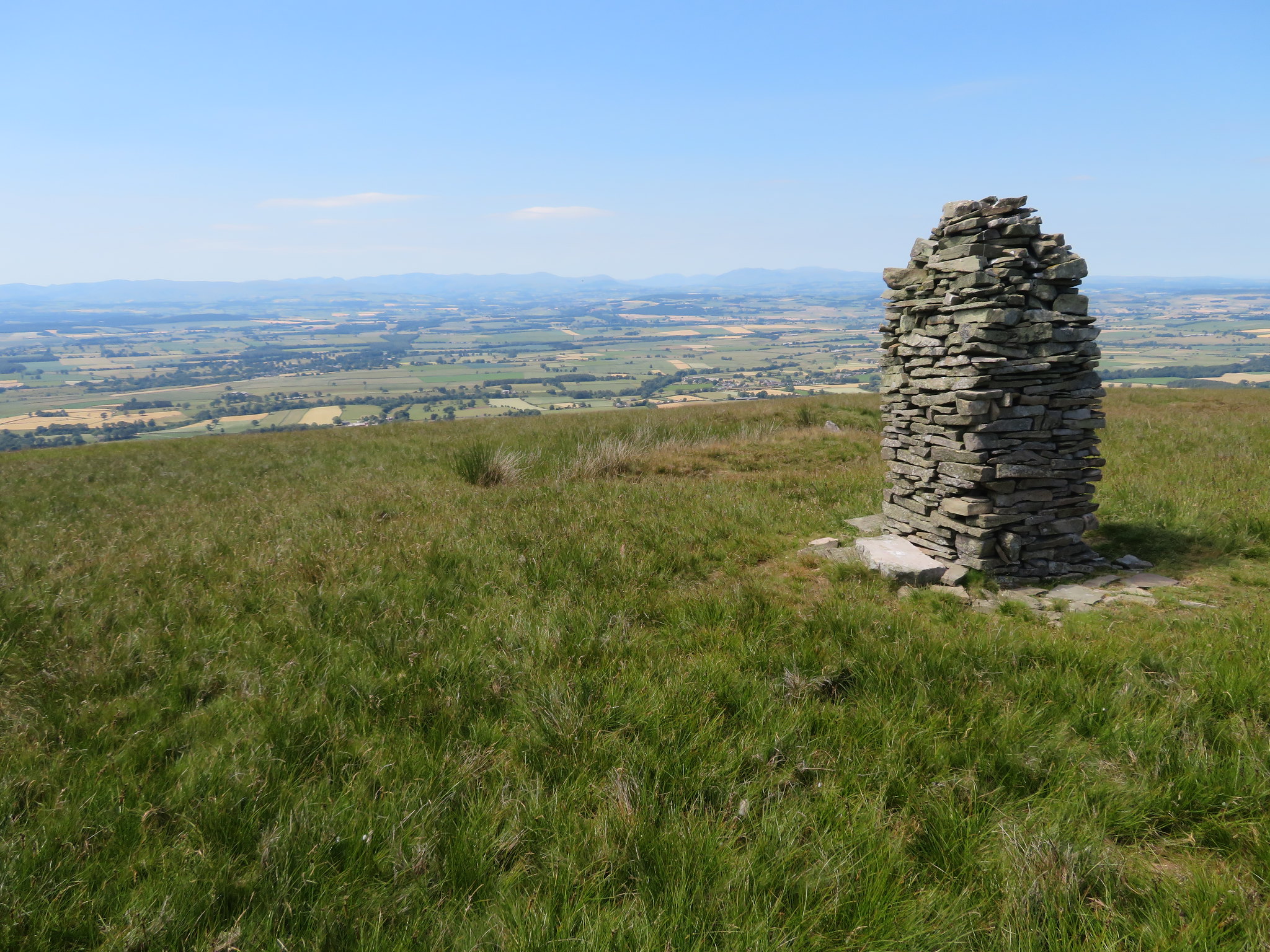 From Muska Hill to the Lake District mountains
 that marks the summit from where the views are nothing but spectacular. Maybe it was a quarryman and his apprentice who built this stout affair that over the many years of standing in such a prominent position and wide open to the elements has developed a bit of a lean to it, a bit like many of us do when of a certain age.
 To Cross Fell
 Muska Hill sits to the south of Ousbydale with Cuns Fell on the north and Megs Cairn sat roughly square in the middle at the head of the dale.
 From Muska Hill to Megs Cairn and Cuns Fell
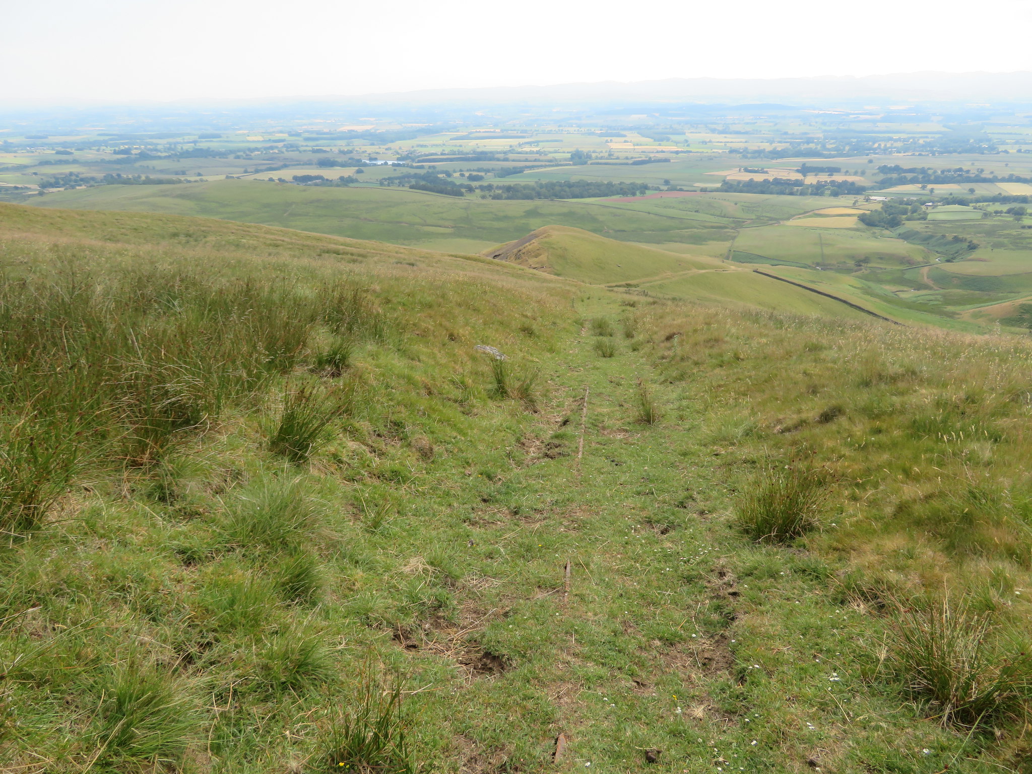
 I could also see my proposed route over the remaining hills that meant a fairly long drop off and then a climb back up to the top of Cuns Fell from where I would then descend again before negotiating a high wall and then another ascent to the top of Catterpallot Hill, descend again to scale another wall, cross Dale Beck and another 100 metres or so of climb up Sharp Shears giving me a total of something like another 300 metres of climb after leaving Megs Cairn, and it's getting hotter with my initial supply of 3 litres of water going down fast. Mmm! I may have to rethink this.
 Catterpallot Hill and Sharp Shears from Muska Hill
 I left the currick behind and made my way back to the Maiden Way.
 Looking back to Muska Hill
 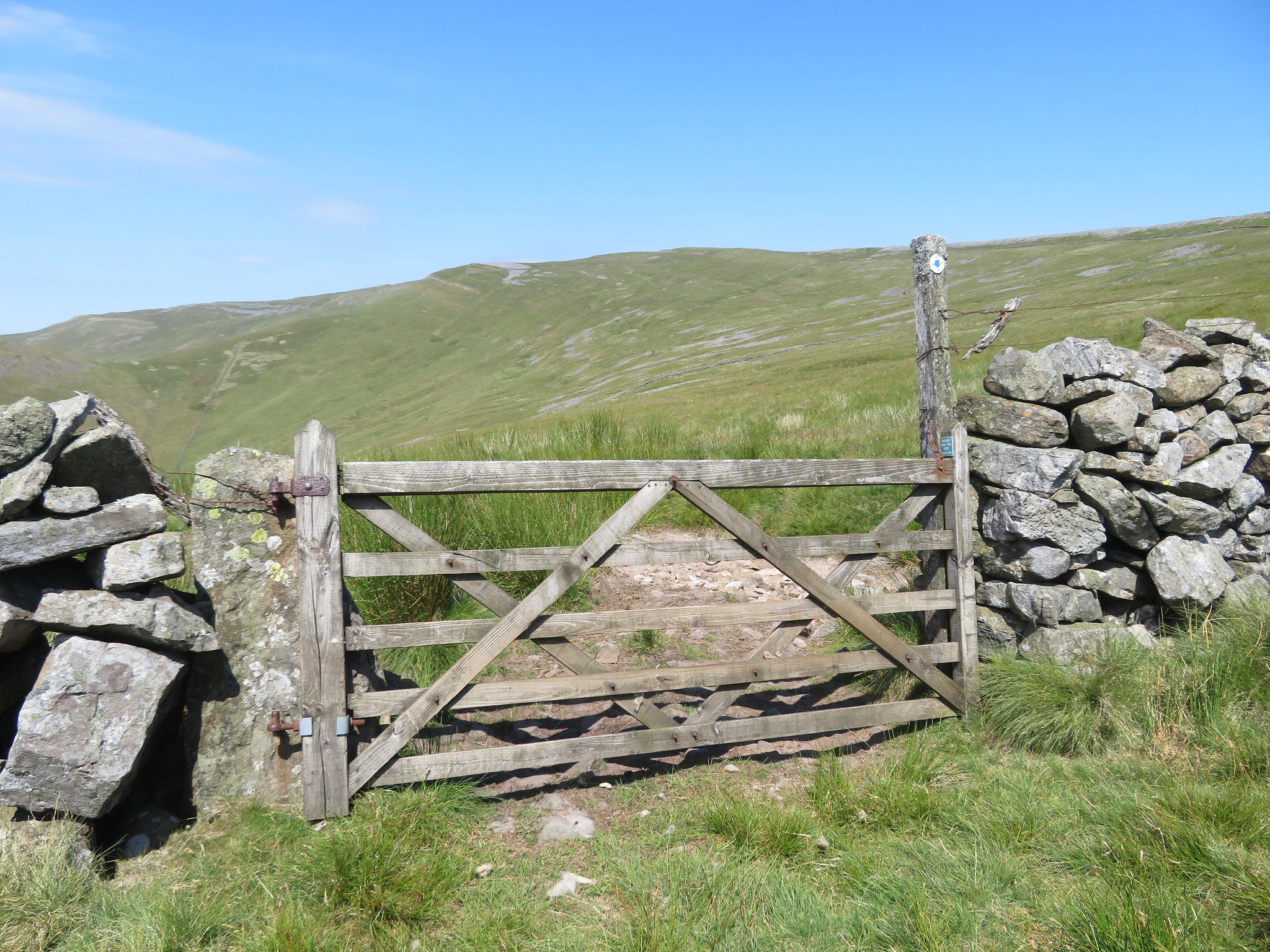 Megs Cairn is just to the left of the marker post
 Cuns Fell could be seen quite clearly and at 539 metres is a tidy size showing a rocky summit and with a steep rocky and scree covered east face whilst the west in contrast has a more gentle and grassy nature to it.
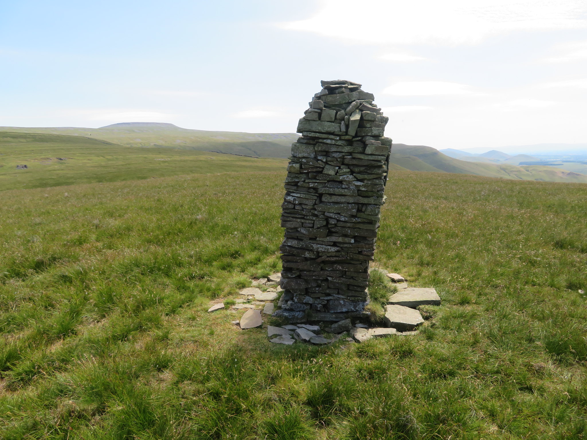
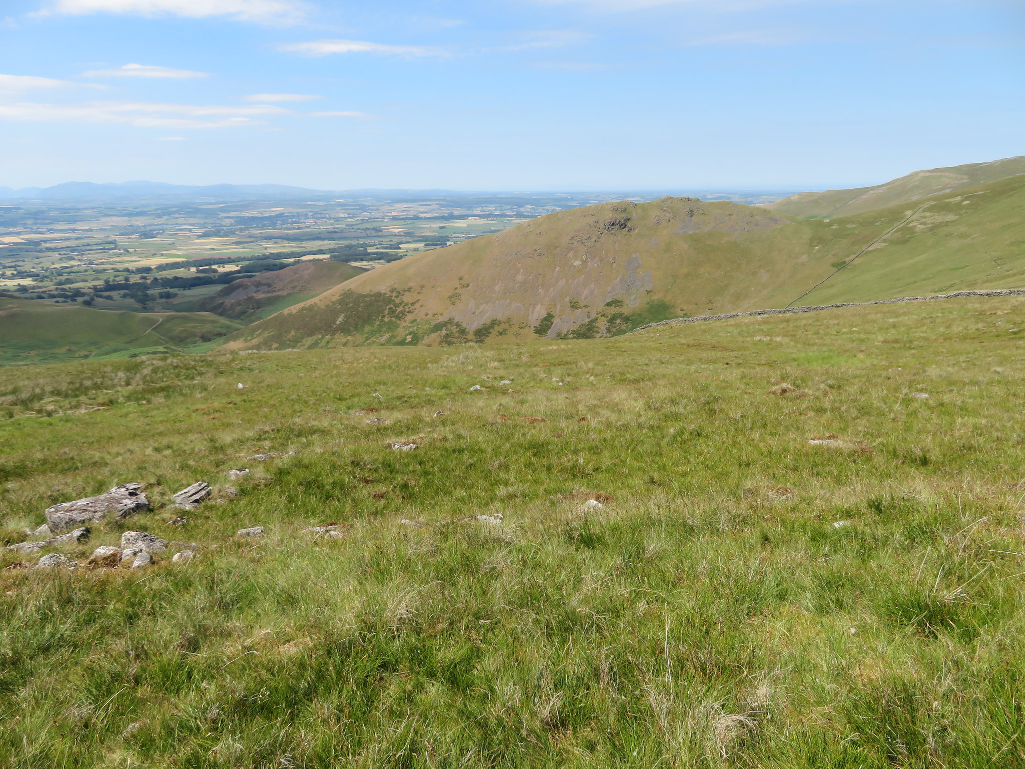 Cuns Fell
 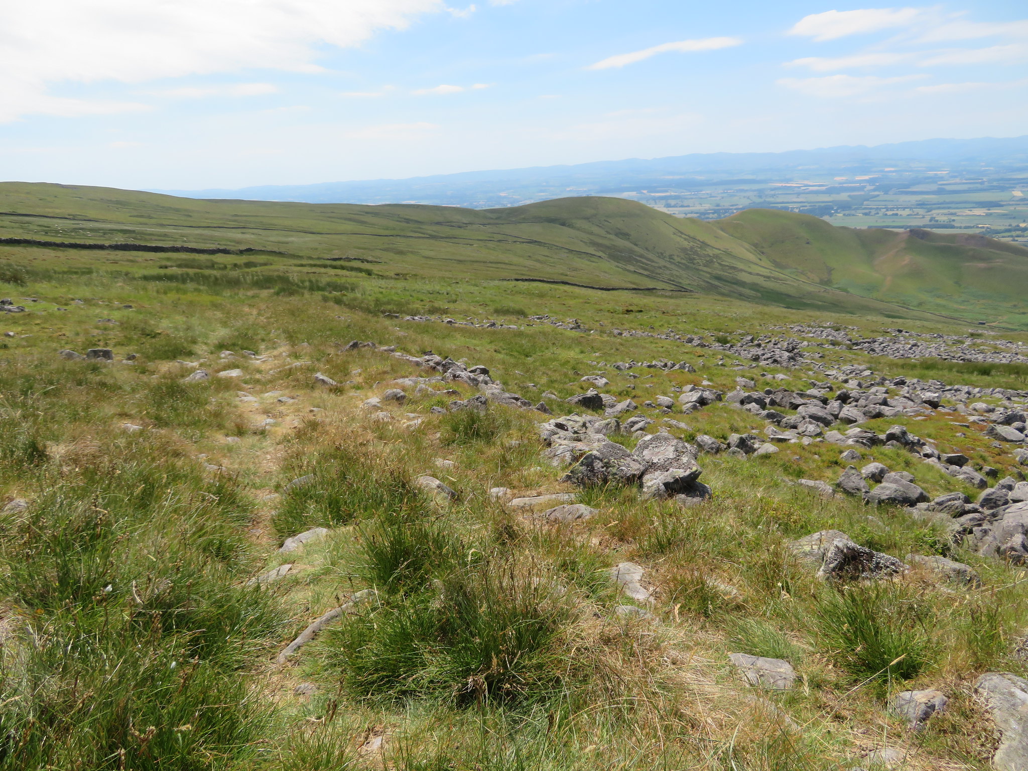 A view along the Maiden Way to Muska Hill and Sharp Shears
 It was a steady though hot walk across the steadily rising fellside, through the wall and then over rocky ground to soon arrive at Megs Cairn a fairly large affair seated on a spread of thousands of stones and rocks and although nothing much is known of its history it has been suggested that it is an ancient burial site from the Bronze Age. Nevertheless, whoever and for whatever reason it was built it is in a superb position sited directly by the old military road and looking over the vast area of the Eden Valley perched at the head of Ousbydale and the higher summit of Melmerby Fell - Dun Edge - not too many more metres to the north.
Looking south allows a good view along the whole escarpment towards Cross Fell…
 South towards Brown Hill - Green Fell and Cross Fell
 It was here that I dropped my bag for a rest and refuel as it was so damn hot and on checking my supply of fluid saw that it was sorely depleted and I was down to less than a full litre to which I am surprised. Firstly because I hadn't realised how much that I had drunk on the way up to the cairn, and secondly, because I don't usually need to drink a lot when I'm out in the hills and mountains so this has taken me totally by surprise and this means that I will have to rethink my strategy for the walk. I still had around 1,000 feet to climb if I continued on my chosen route with four high walls topped with wire to either climb or find a gateway through, Dale Beck to cross and a lot of pathless ground to cover before I got back to the Maiden Way at Ladslack Hill from where I was going to follow the old road back to Kirkland.
The remaining distance or height gain was not the deciding factor but the lack of water that made up my mind for me. From the cairn I still had around 5.5 miles to walk going the short way but at least I would only have a gradual climb up to the top of Brown Hill before starting the long descent down to Ardale Beck below Ladslack Hill and as much as I loathe not completing a planned walk in the hills it was just too hot to continue with the remaining hills to climb and a short supply of water.
The way forward then was to the south on gently rising rock strewn ground with a line of cairns/curricks leading the eye straight across to Brown Hill that is in fact grey as its covered in thousands of the local rocks that form the escarpment from Megs Cairn and terminates at Brown Hill. The way is easy enough with an intermittent path that is subsidised by sheep trods here and there…
 A thin path here and there
 and I was soon at the 676 metre high summit of Brown Hill from where I had a good view back…
 Melmerby Fell in the distance
 and from just a few metres further on I came across this little structure…
 Old building below Green Fell
 that could have been either a shelter for shepherds or miners/quarrymen alike, or neither as its birth and use is lost in the annals of time.
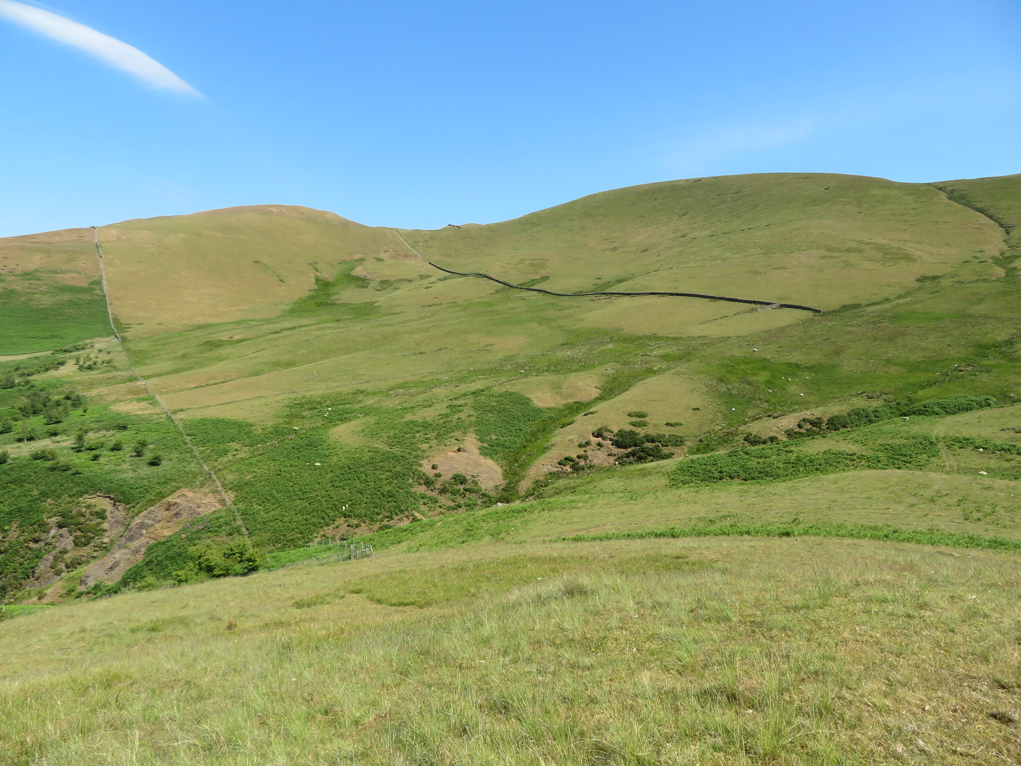
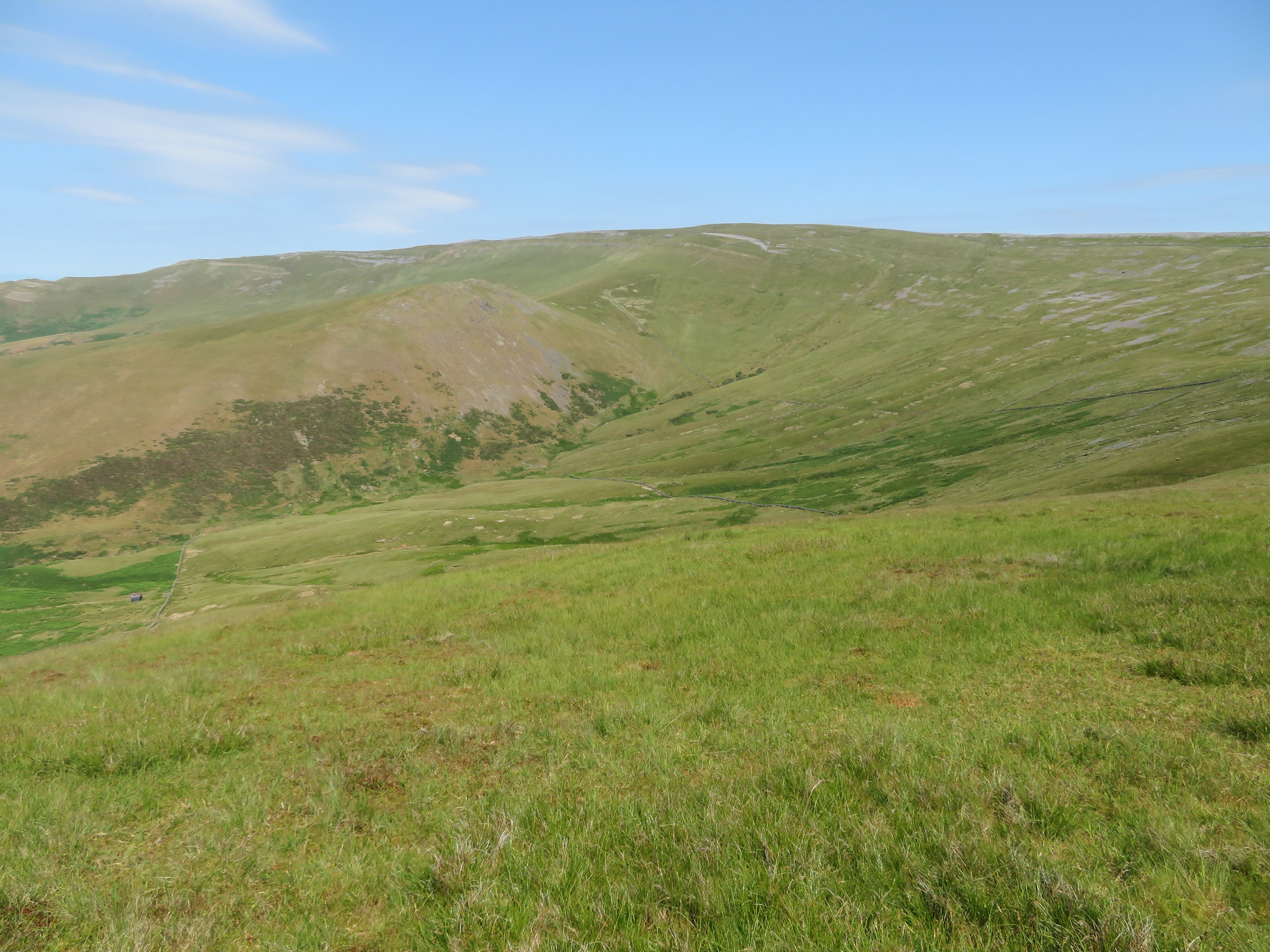
I continued walking from the summit to the end of the escarpment where it dropped down towards a cross wall and an old track leading towards two gates.
 My way down from the west side of Black Doors
 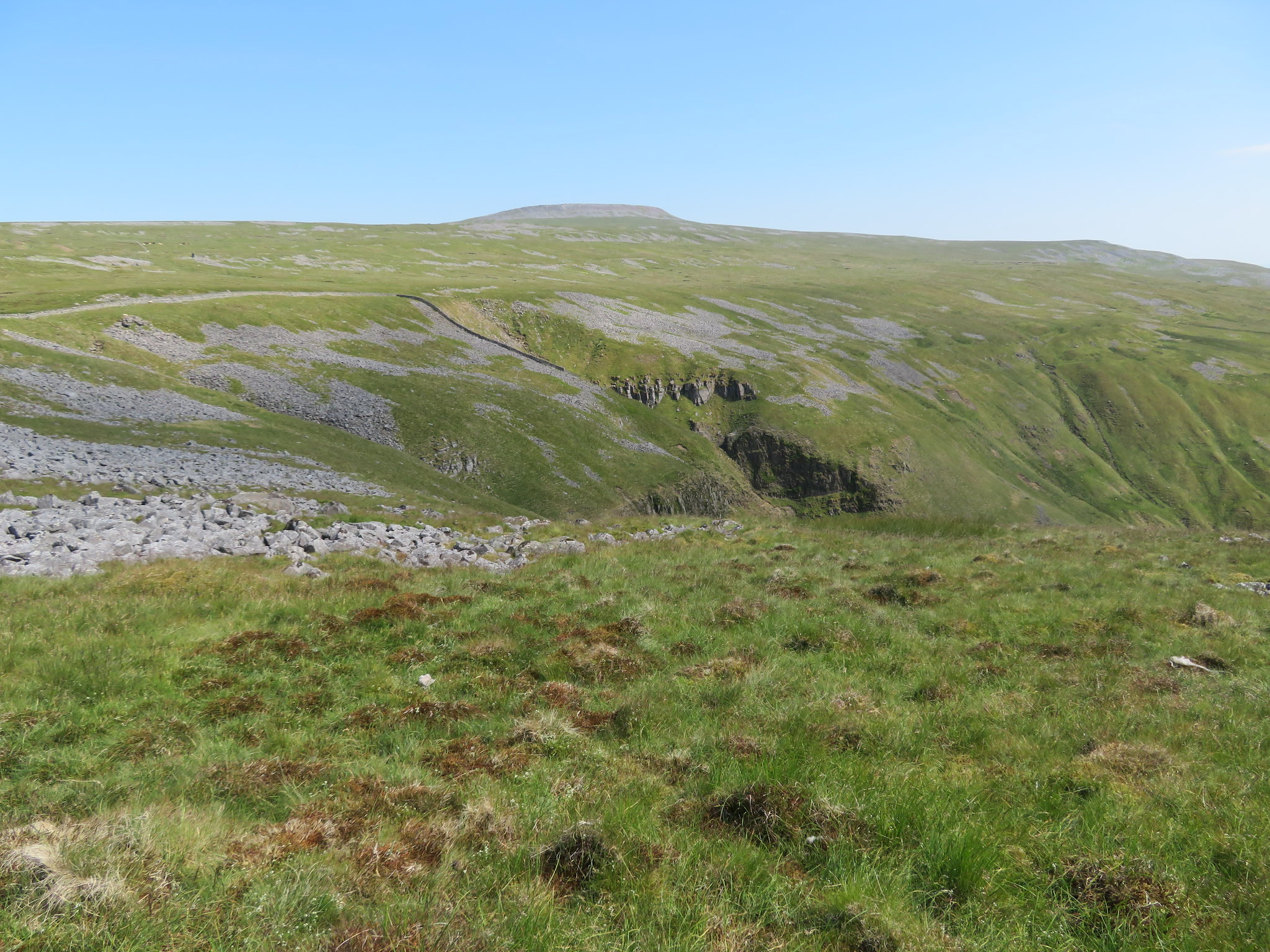 Black Doors with Cross Fell behind
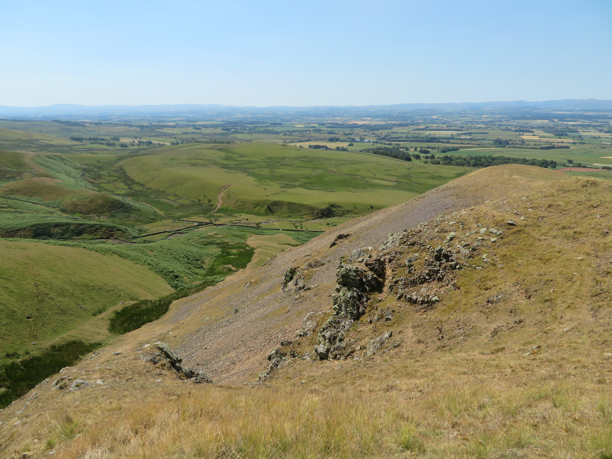
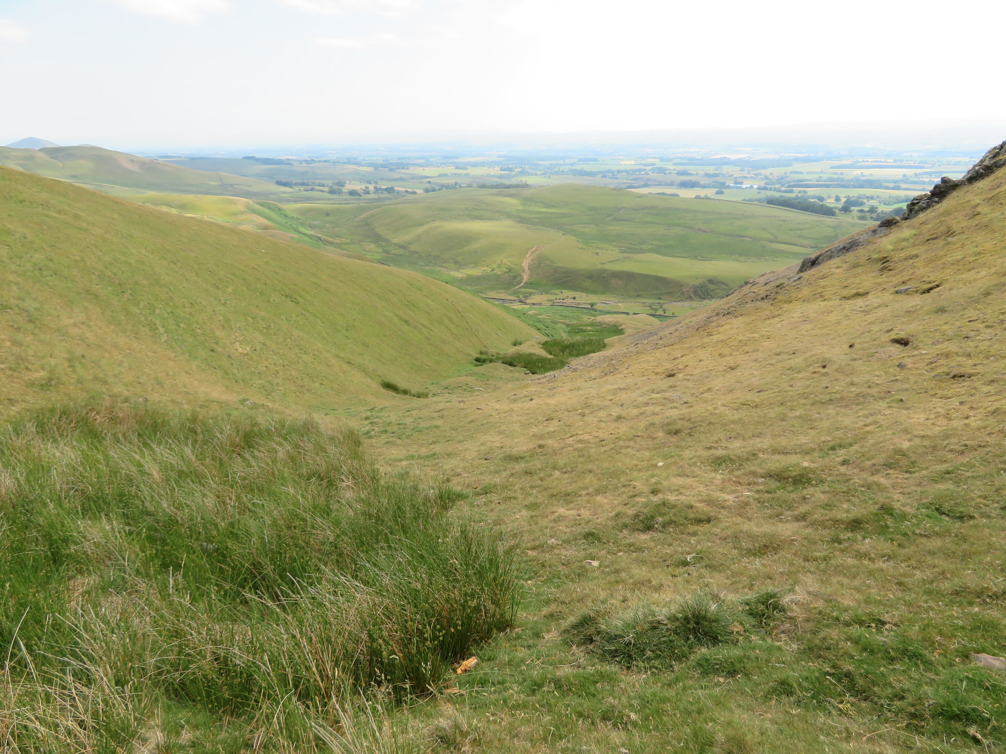
 I now had a choice of gates to take and I chose the one on the left even though there was a quad bike track leading down the fell from the other one, and although it may have been easier going following the track I wasn't sure where it would end up at as it was turning away from the wall that I was to follow back down to the abandoned quarry at Man at Edge. My way down was easy enough with just a couple of steep banks to negotiate but gave no problems as I walked high above Ardale Side and looking down onto the beginnings of Ardale Beck.
 Looking down into Ardale Side
 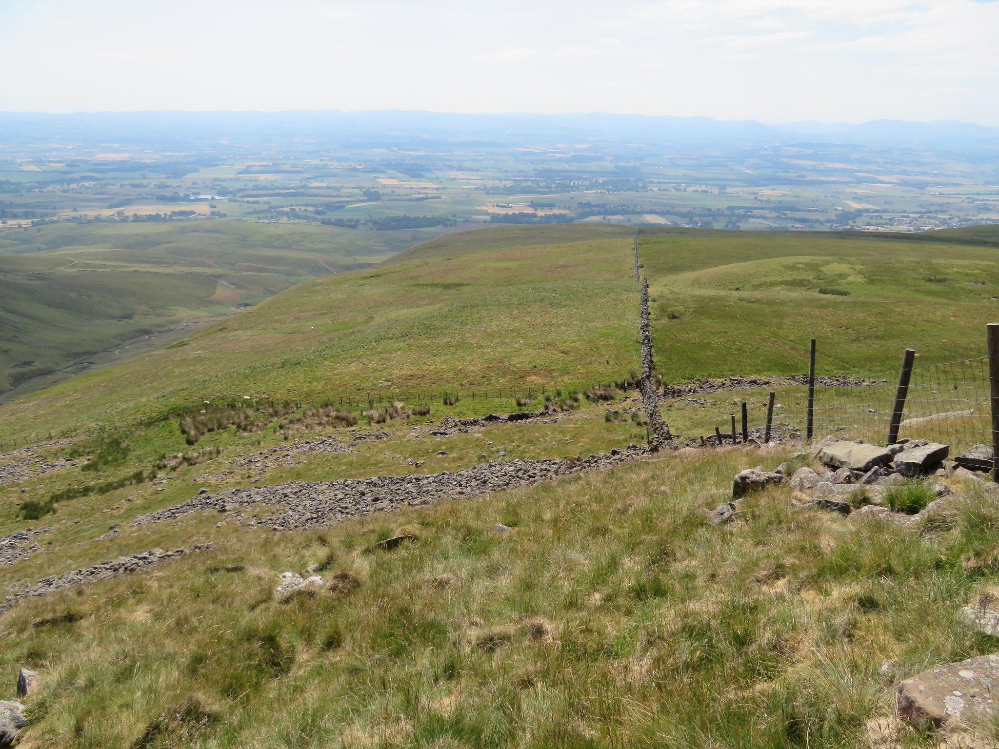 The way down
 Around 20 minutes later I was back at Man at Edge looking over the landscape and the line of the Maiden Way from Kirkland to beyond me to the northeast the section that I had walked not long before.
 View southwest from Man at Edge
 I now had less than half a litre of water left and was determined to make it last out and now know what Beau Geste must have felt like as he wandered through the desert whilst in the arms of the French Foreign Legion.
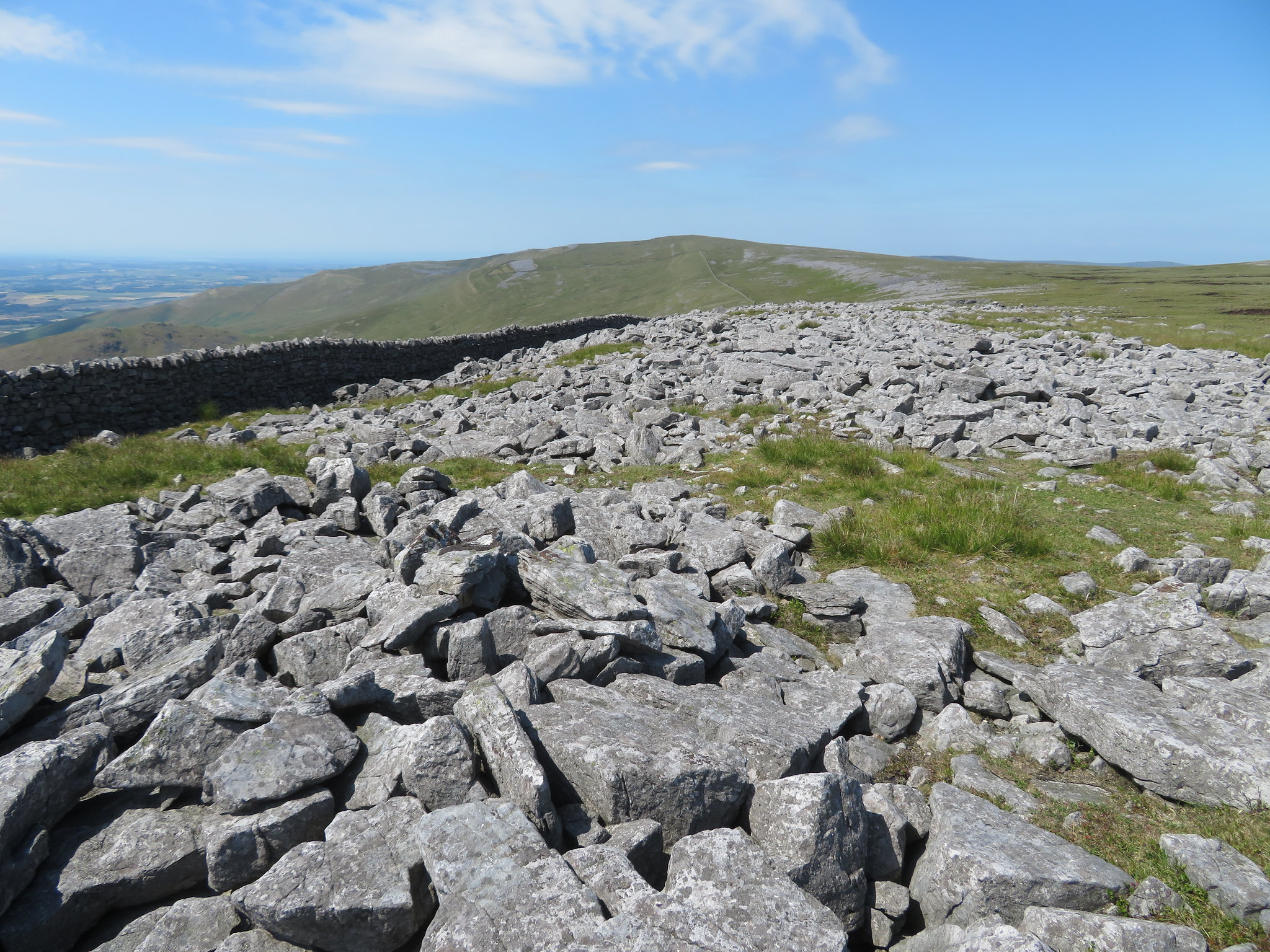
This next photo shows the line of the tramway as it turns around Ladslack Hill where it crosses the old military road.
 Looking down the old tramway to Ladslack Hill
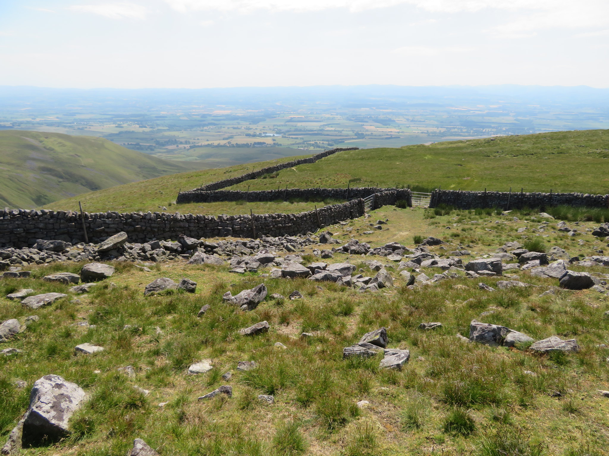
 The walk back now was just a case of making my way along the Maiden Way back to Kirkland and as I reached Ladslack Hill I turned the grassy rake that still has the makings of the old road that now runs down Lad Slack to Ardale Beck.
 The route of the Maiden Way
 As Cuns Fell has a grassy west face and a rocky east face so has Ladslack Hill…
 The east face of Ladslack Hill
 and the view along the rake gives a good view of the line of the old military road.
 The Roman Road climbs up the far brown scar
 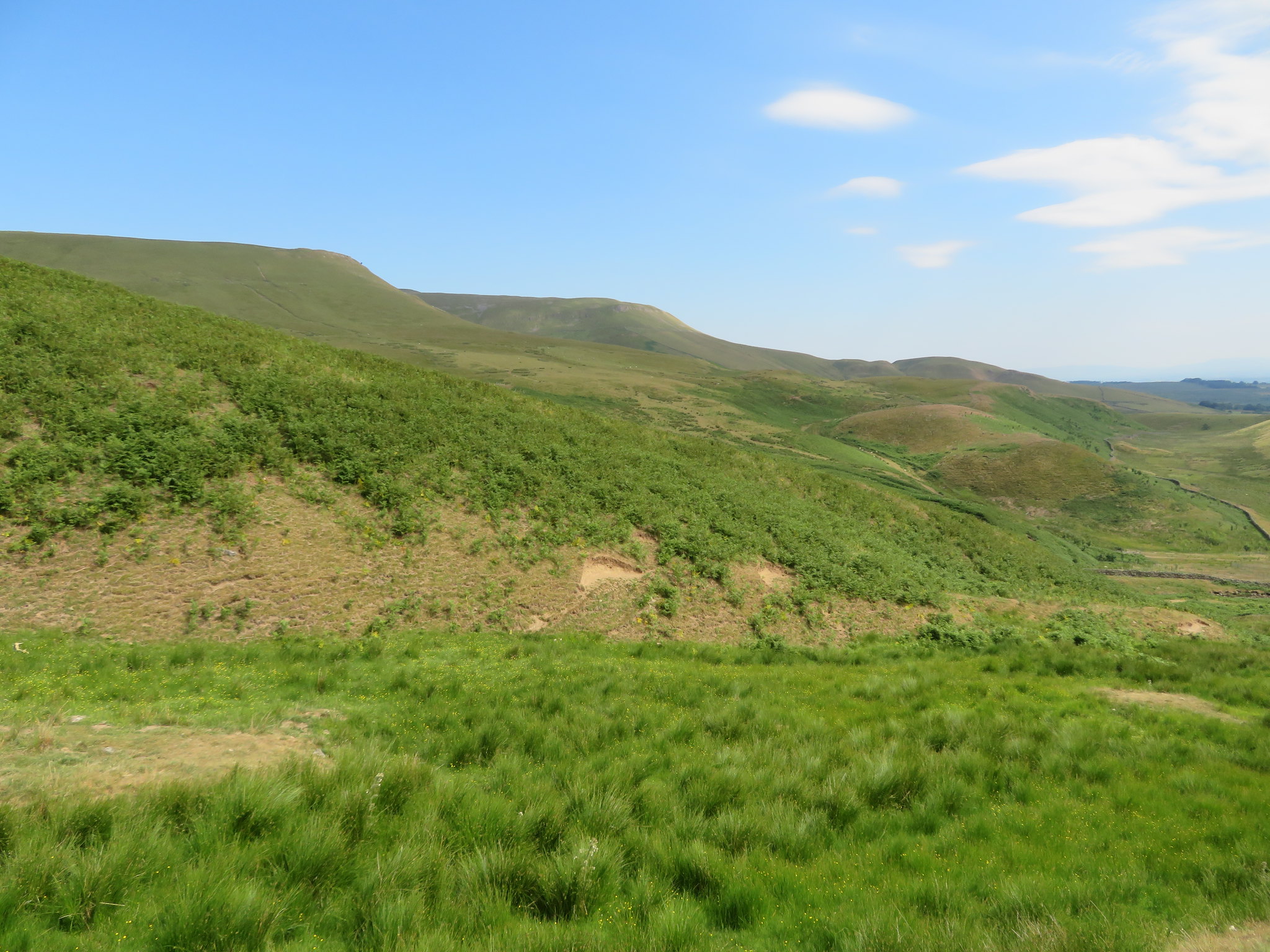 High Cap and Kirkland Fell from Lad Slack
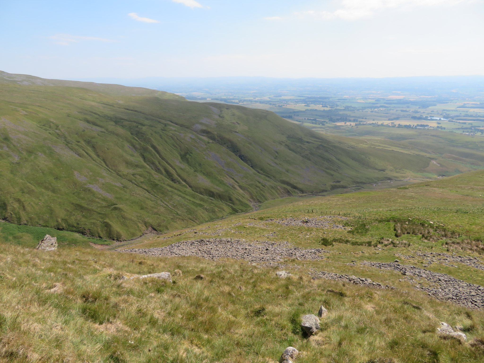
 A few minutes later and I was stood in the wide trough that carries Ardale Beck through it.
 From whence I've been
 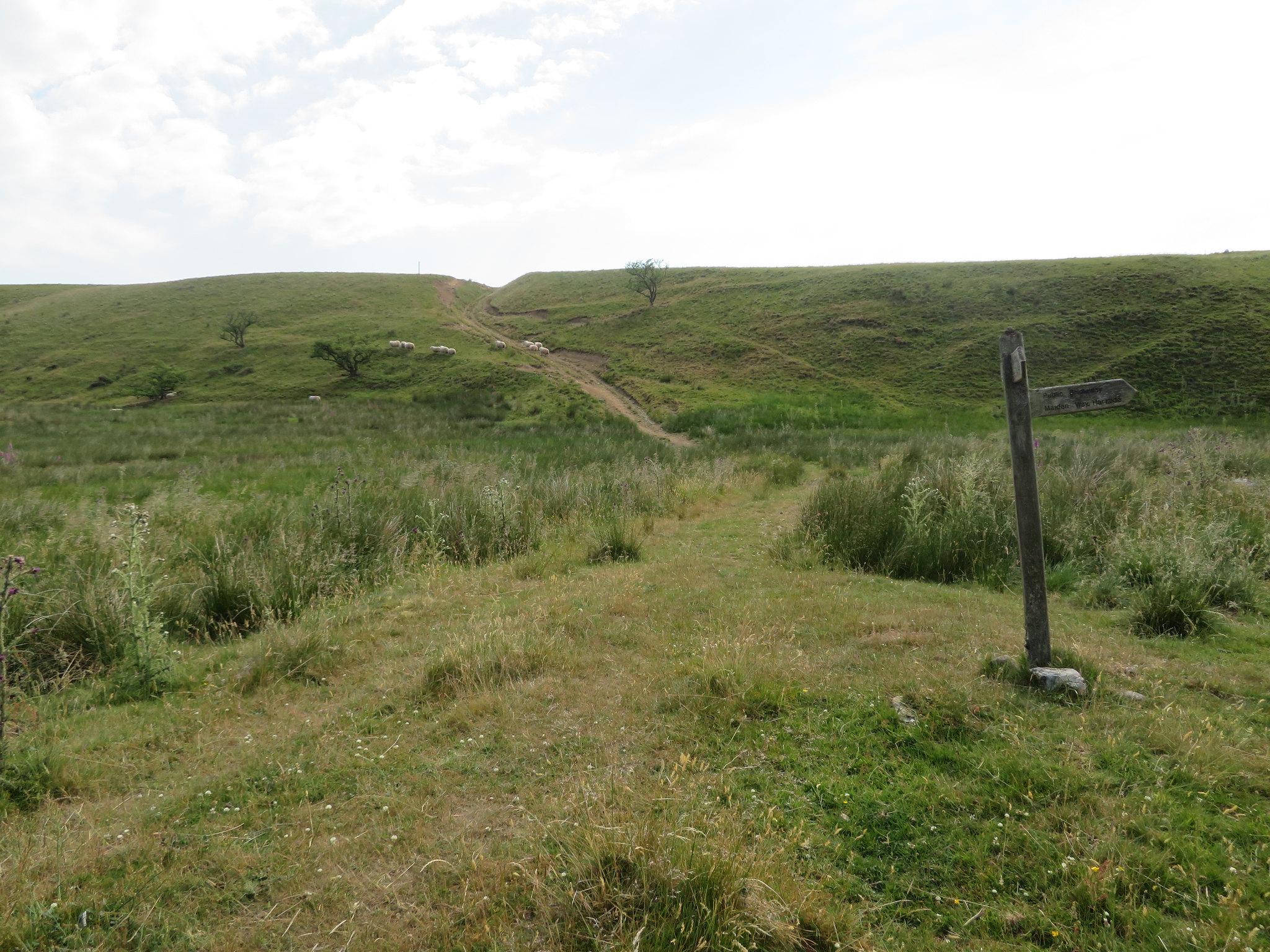 To where I'm going
 An easy climb out of the trough and along the fellside soon had me on the way to Bank Hall…
 View back to Black Doors - Brown Hill - Muska Hill and Sharp Shears
 and then into hay meadows from where a good view of the local pikes could be seen…
 Knock - Dufton and Murton Pikes all in a line
 before finishing off walking through a couple of wheat fields along a very thin path that was almost buried beneath the wheat crop and arriving at St Lawrence's Church where half a dozen lambs raced towards me hoping that I was going to feed them but as I was telling them that I had nothing for them the farmer turned up with some feed for them to whom I had a good chat after he had seen to the lambs.
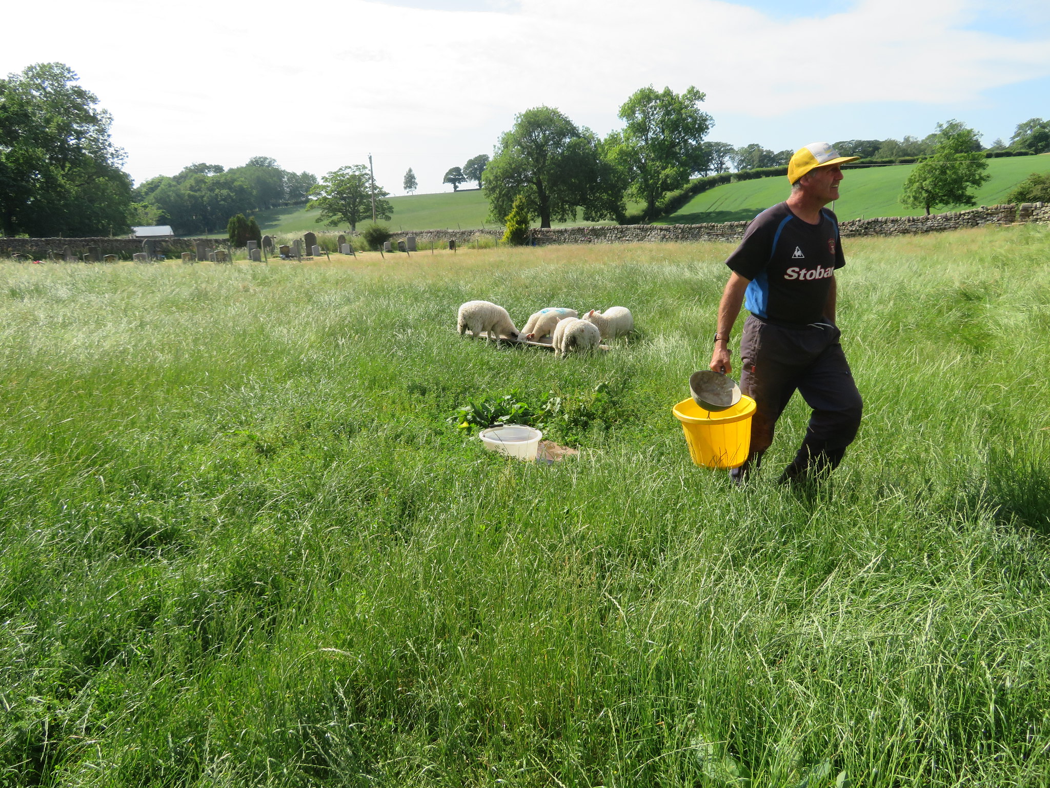 Feeding time for the lambs
 Leaving them behind I now had but a short walk through the church yard…
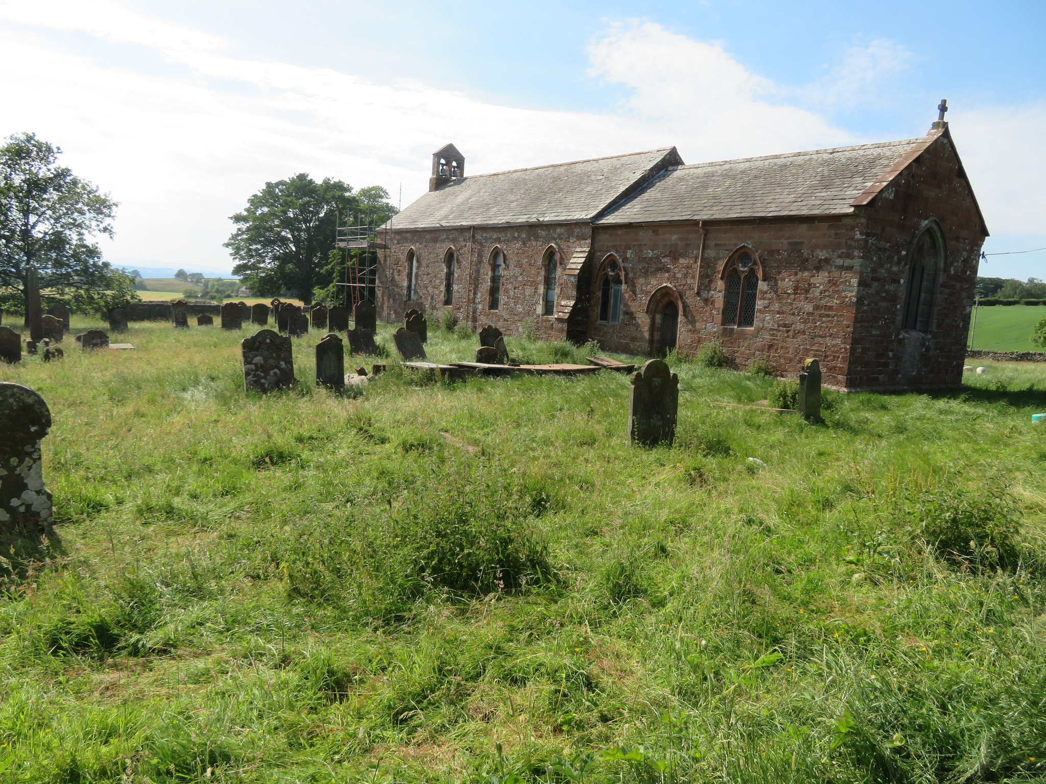 St Lawrence's Church - Kirkland
 back to the car that was still sat in 28°c so goodness knows how hot it had been on the open fellside. I arrived back with a mere mouthful of water left and a mouth as dry as a lime burner's clog but I do know where I can certainly put that to rights. This walk is the first time ever that I have had to pack in due to the heat and water shortage so a bit disappointed really in not completing this walk but, the hills are going nowhere so will give it another go when it's a bit cooler.
