free to be able to rate and comment on reports (as well as access 1:25000 mapping).
This particular Old Corpse Road refers to the one that ran from the old and now submerged remains of the village of Mardale that was destroyed in the process of constructing Haweswater Reservoir for the good of supplying water to the Manchester area. Because there was no consecrated ground at Mardale's Church the deceased of the village had to be transported over the hills to St Michael's Church at Shap on which site there has been a place of worship since 750AD and where Mardale had its own burial ground behind the church yard of St Michael's.
There is also a great story of a Danish knight, a Sir Hugh, who won favour with William the 1st and then in 1209 he fell foul of King John - who was then on the throne - accused of being part of the Canterbury Conspiracy and so fled for his life taking his family along with him. He was heading for Scotland when bad weather overtook them at Riggindale so they found a small cave in Rough Crag where they took shelter for the night. To cut a long story short they stayed in the area still living on Rough Crag for safety but buying or trading for food in the village of Mardale. When they heard that King John had died they eventually moved down into the village and integrated well with the locals, even marrying with the local villagers.
In the centuries that followed, every 1st male of the family line, were dubbed the King, the last male passed away in 1885 with Hugh Parker Holme, his memorial can still be seen in the new church yard, just up the road from the old church in Shap village, the very last line of the family ended with one Mary Elizabeth Holme who died in 1915 at the ripe old age of 90. I went searching for her gravestone and found it easily enough in the old Mardale burial ground and of which I took a photo as I found the story of great interest. I have also searched for the small cave of which a local shepherd said it was merely a large overhanging piece of the crag and having crawled around the crag for a fair amount of time on two occasions I found no cave but many rock overhangs.
This report does not relate the whole of the walk from Mardale Head to Shap of which I have walked before but is merely the long half from Shap Abbey to Selside End near to where the path is for the climb or descent of Selside Pike and then a return along the Swindale Common Ridge of Hare Shaw, Powley Hill, Harper Hills, Scalebarrow Knott and then across Rosgill Moor and Swindale Foot.
So this walk began at Shap Abbey where there is a decent sized car park…
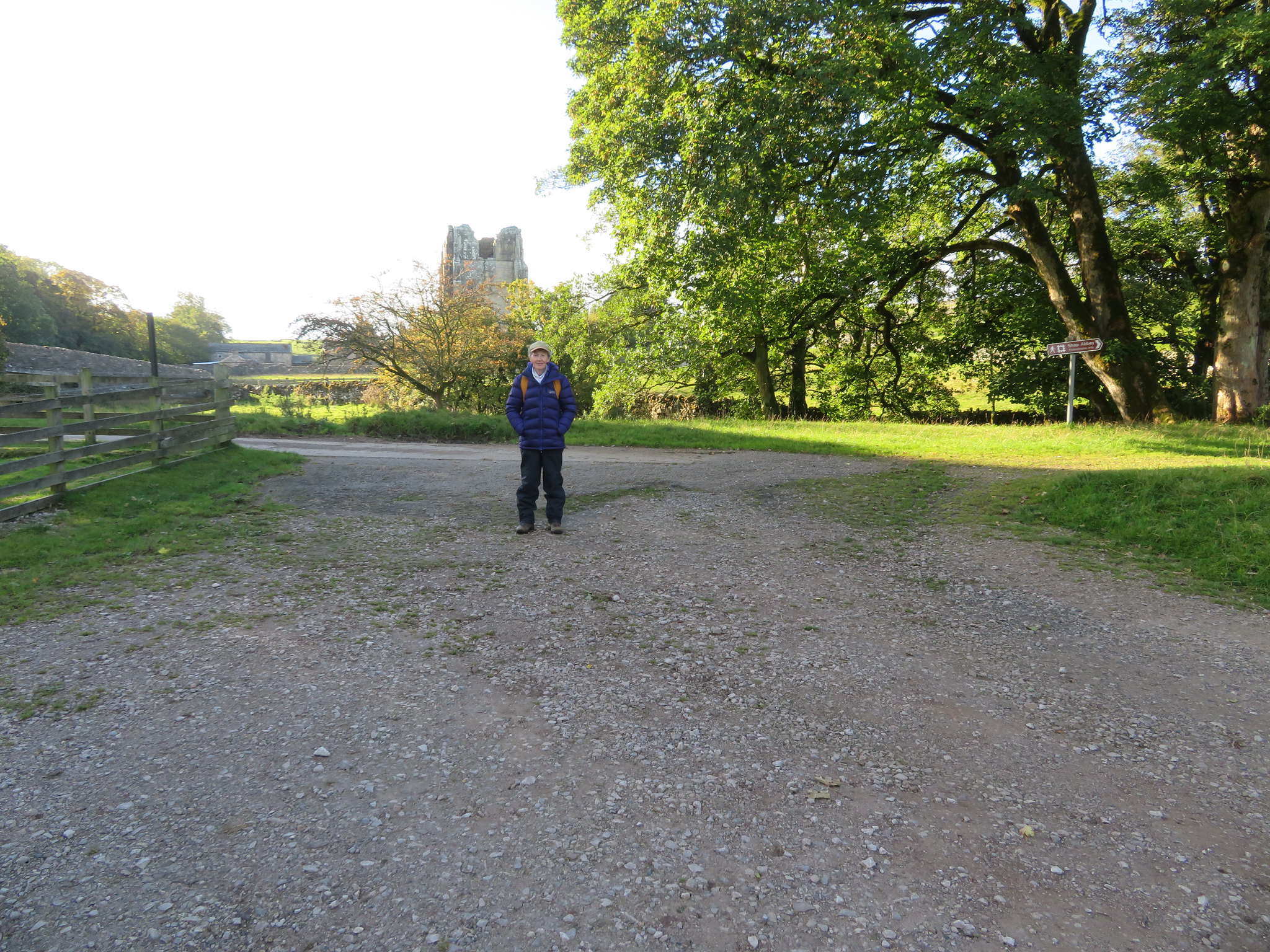 Shap Abbey car park
 to be found at NY547153 after a 1½ mile drive - 2.4 kilometres - down quite a narrow metalled lane that starts at the northern end of Shap. The abbey is situated in a lovely spot sitting on the west bank of the River Lowther and was a monastic religious house of the Premonstratensian Order founded by St Norbert in northern France and was part of the Diocese of Carlisle being founded in the late 12th century, was very wealthy and owning great swathes of land throughout Westmorland until the Suppression of Monasteries by Henry VIII to whose men they surrendered on the 14th January 1540 and apart from a few small walls there is only the tall and impressive 15th century tower remaining as much of the materials was plundered to construct other buildings after the monks had left.
The day had started dull and cloudy but by 8am the sun was through and it was quite warm despite a cool breeze that encouraged us to don our thicker coats for a while and we left the car park by making our way back along the track for a few metres to then follow a rough path up the facing embankment, a path that can be avoided by just walking up the track and then turning left to pass through the first gate that allowed us onto the indistinct path through the field that passes along the back of Abbey Wood the trees of which were just beginning to show their autumn colours.
A good few minutes of walking now found us in one of the enclosures at the top side of Abbey Park from where we had a lovely view across the Park and River Lowther towards the higher hills south of Shap.
 Abbey Park and the River Lowther
 We initially missed a stone step stile in the wall to the north but once on track again we were soon arriving at the lovely little village - or hamlet - of Keld, a place where we had to pass through some ones garden of which the large ladder stile over the wall left us in doubt that this was the way to go. There is a tennis court alongside the house and garden where the steps led us past the house and onto the metalled lane that was lined with a small cluster of well kept houses either side of it. We have followed paths that pass through a person's garden before and we always feel embarrassed by doing so and this occasion was no different as the house owner was actually trimming his hedge as we climbed into his garden but he merely gave us a smile and a "Good morning" and carried on trimming away.
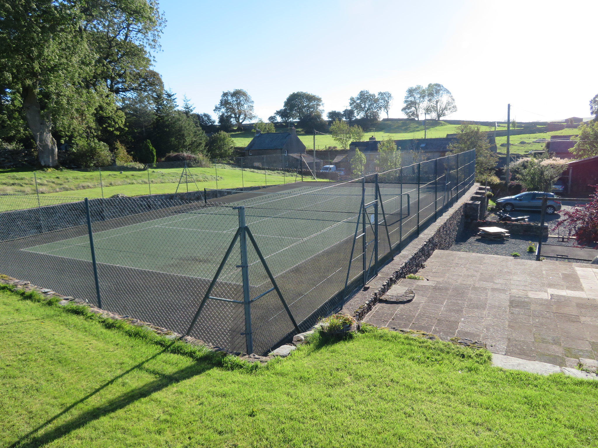 Tennis courts and walk through garden at Keld
 The village? looked clean and well kept, nice houses and cottages lining the narrow road, colourful Virginia Creeper on some of the walls added a contrasting dark red to the lighter red and pink of the local stone with some of the gardens still supporting a few late flowering plants,
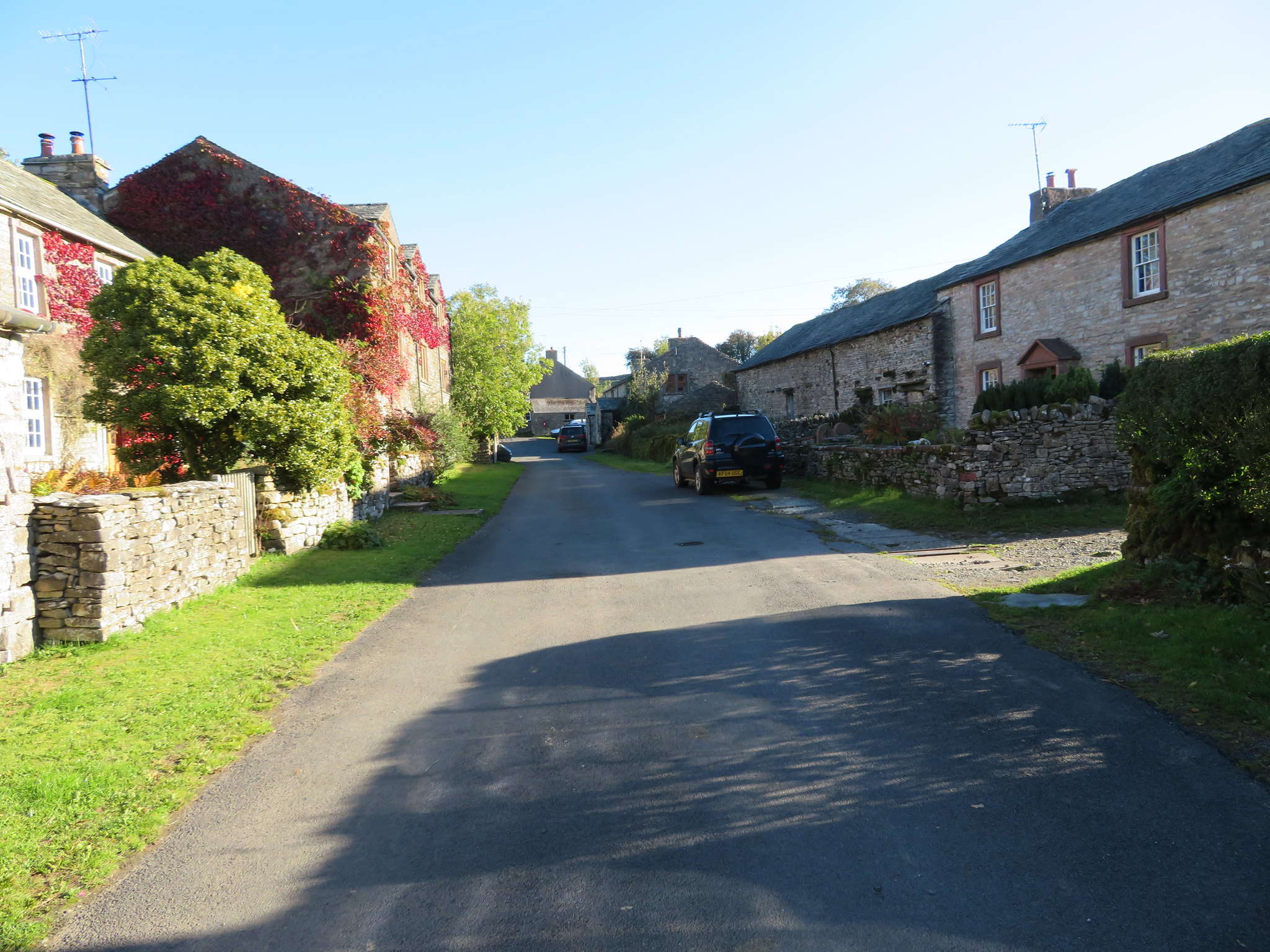 Keld Village
 all was peaceful as we passed quietly through walking southwest towards the end of the road and open countryside and after passing the time of day with a couple of local ladies having a catch up on local affairs no doubt, and another word with a dog walker who had parked up on the open ground just on the outskirts of the village we felt as though we were properly on our way at last.
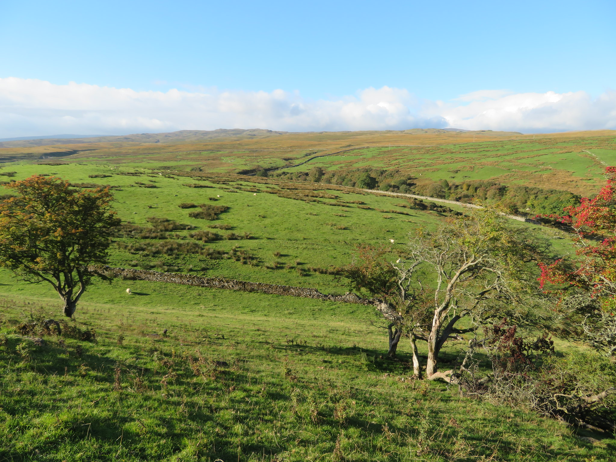
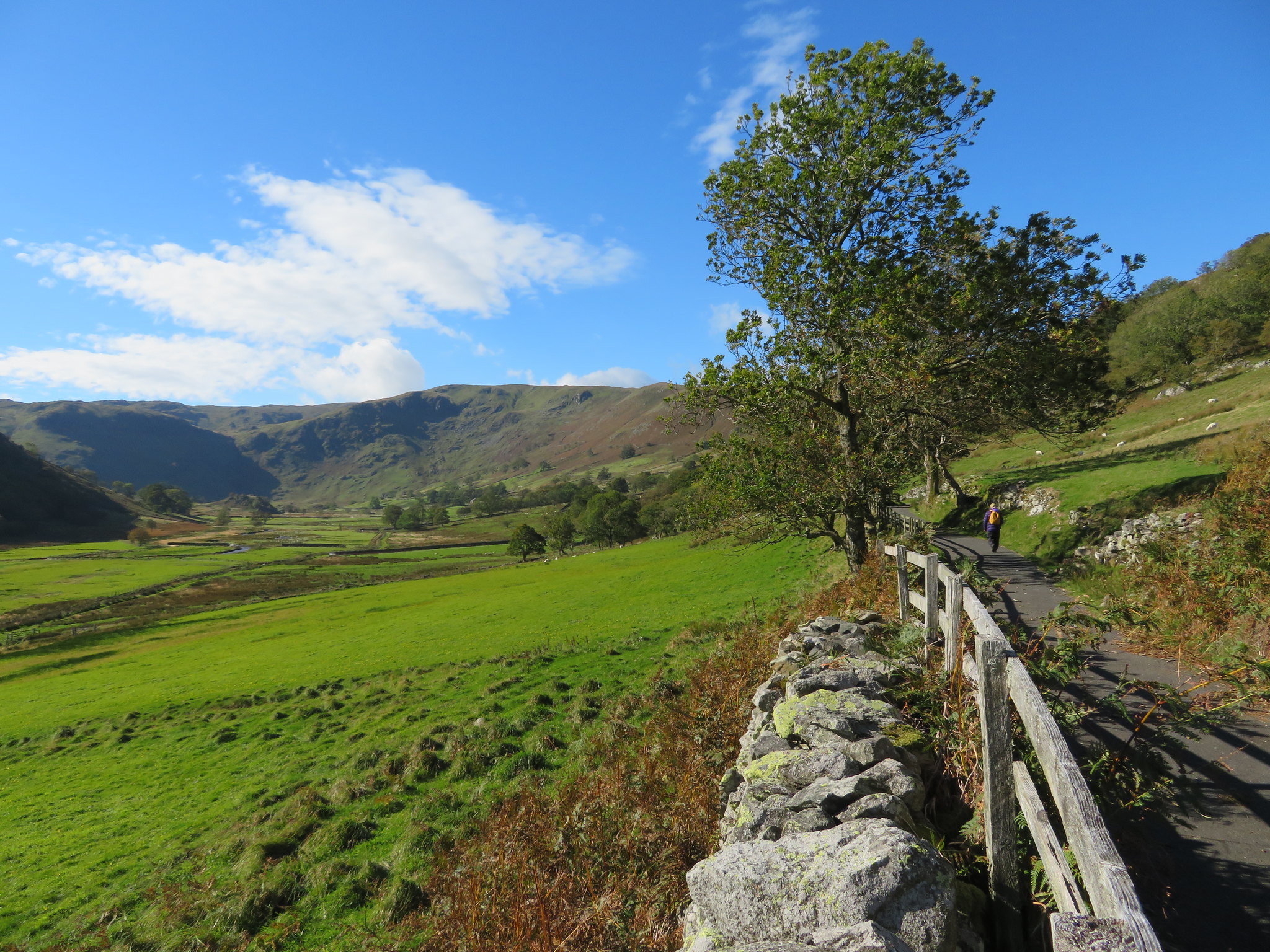
Spread out in front of us was a vast area of rough moorland and fells with the high hills of Swindale Common just peaking over the horizon with all of this cut in two by a long and narrow strip of asphalt that led the eye onwards to the United Utilities bridge across the River Lowther to then disappear for a while as it made its way to the isolated farm of Tailbert, a road that we would follow for around 1.7 kilometres - 1 mile - before turning off to start the walk along the OCR in its raw state and not one that has been covered in blacktop by the authorities in their efforts to make the journey to the few isolated dwellings much easier.
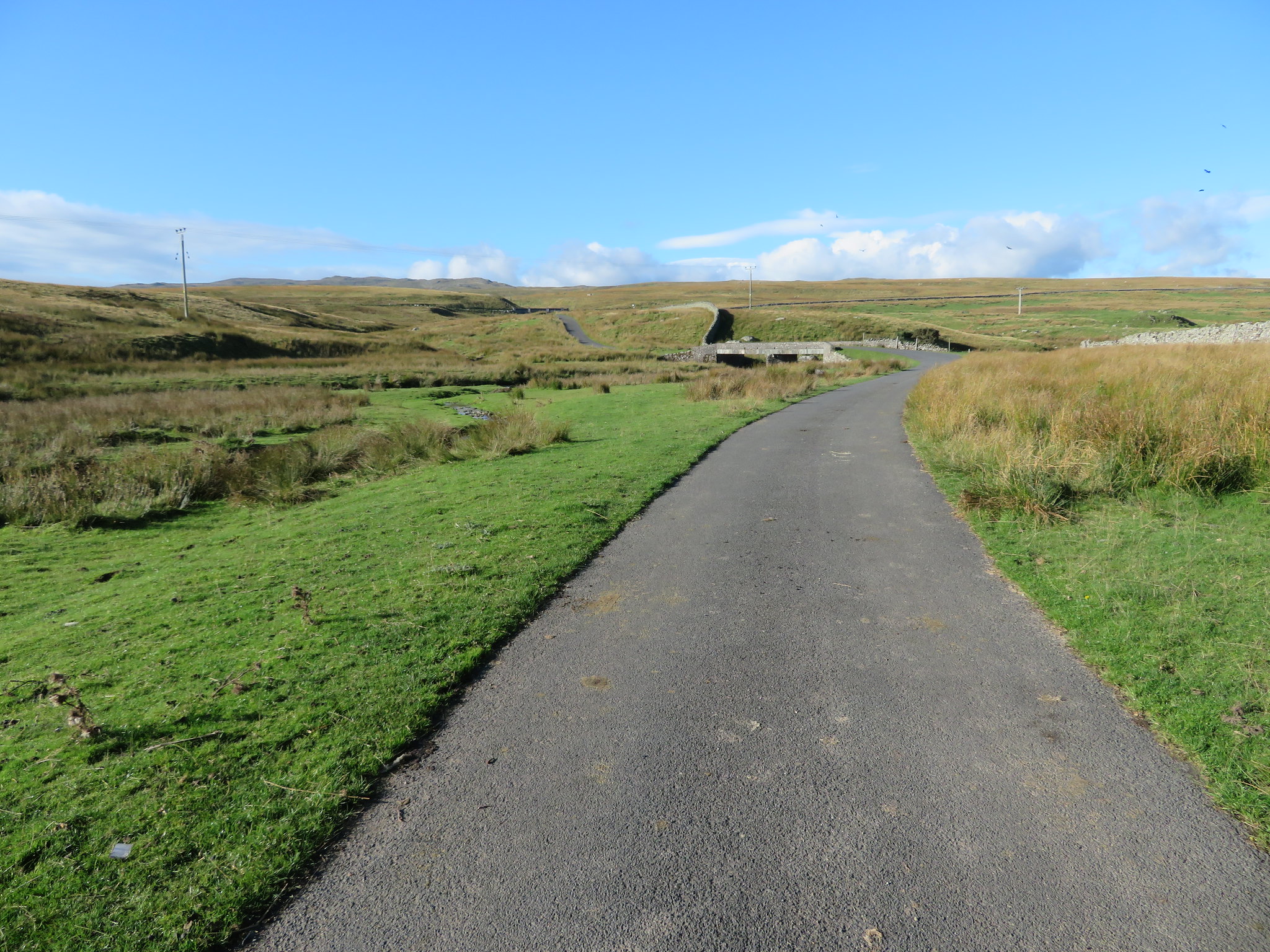 Approaching the River Lowther from Keld
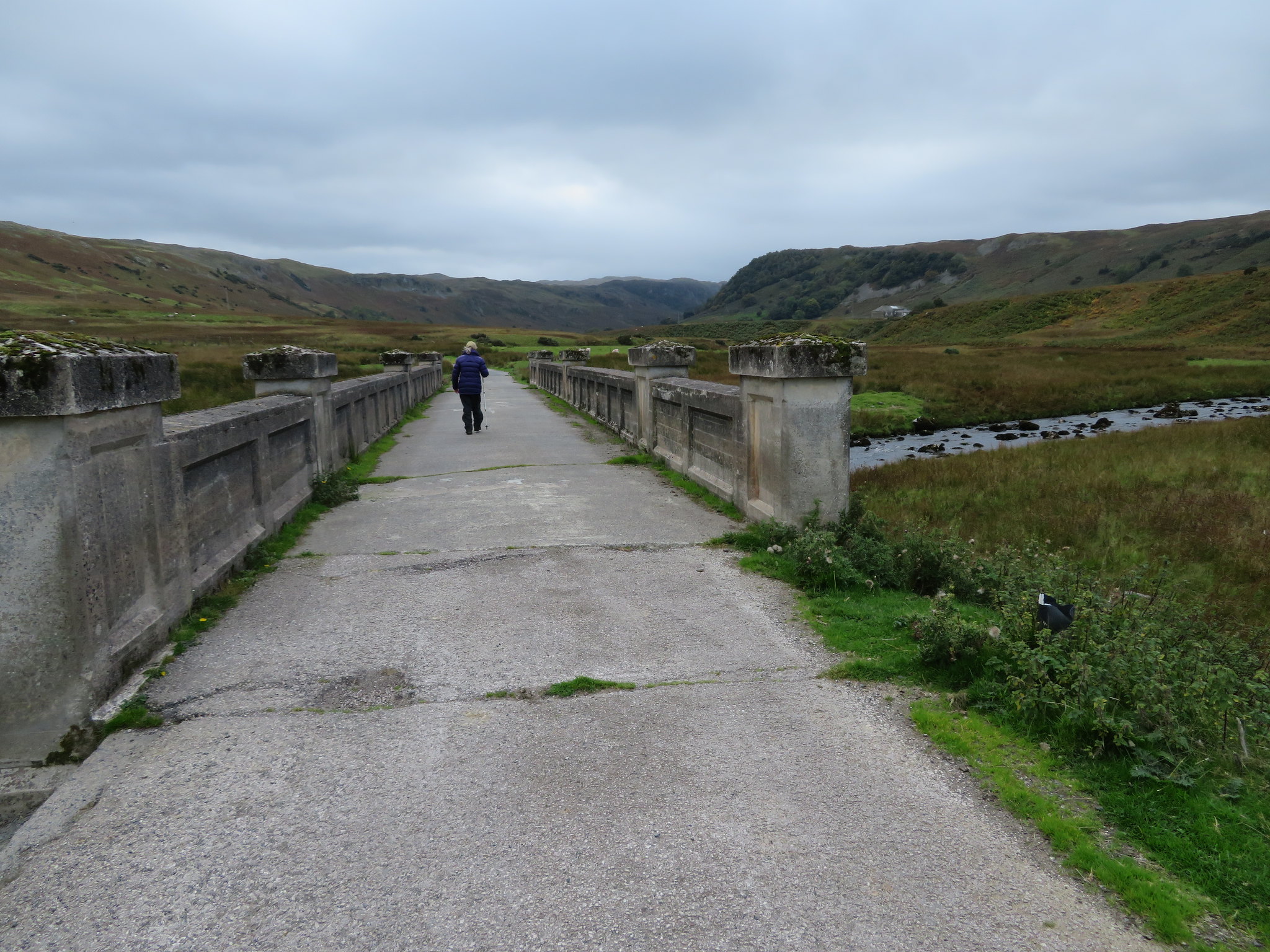
 A lot of work has been done in this area in years past by the United Utilities Company and the River Lowther Bridge is typical of a few more that we saw on this walk along with raised and locked access plinths built of concrete and then cladded with local stone that marries into the countryside well, and apart from these there are a number of other water orientated features marked on the OS Map of the area.
The climb along the road is easy on the very well graded incline with the distant views slowly opening up as we continued on with High Street, Selside Pike and just the tip of Kidsty Pike now appearing in the west. The sky was a perfect blue with banks of white and scattered clouds floating around and the only signs of life were the sheep with their new and still young winter coats showing white against the golden brown of the rushes and long fell grass. The odd skylark took a quick look at us and then made off in a hurry to carry on business elsewhere.
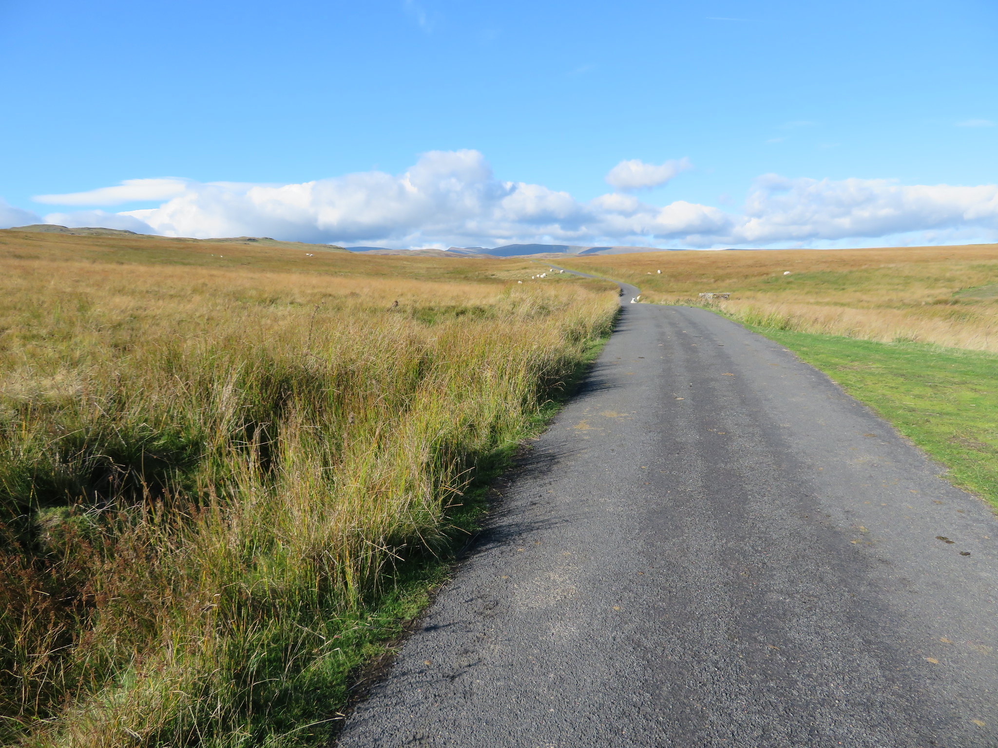 A distant view to Selside Pike with High Street behind
 Turning around and looking back along the road confirmed that the rough of the fells stopped at the western banks of the River Lowther whilst the east side was all trees and green pastures.
 A view back to the east
 On our way along the road we crossed over a concrete track, a track that has been laid by the United Utilities and runs from Kemp Howe just short of the A6 to the south of Shap and makes its way all the way across the fells, down into Swindale Foot and then climbs out again to join up with the Haweswater shoreline road at Naddle Bridge just short of Burnbanks. The houses at Burnbanks sit beneath Haweswater Reservoir's dam wall and was the site of the construction camp for the workers some of the houses still being there today albeit modernised. About 3 years ago E and I was walking through the village and got talking to a lady who had lived there with her husband since those days of construction and since her husband had just recently died she had moved to a smaller house in the community and she had some good tales to tell about those many years gone by.
Haweswater Reservoir and Wet Sleddale Reservoirs are the connecting clue to this long and expensive concrete road as both are owned and maintained by UU as I suspect all of the surrounding land in between the two is also, with the road being the main service road between the two.
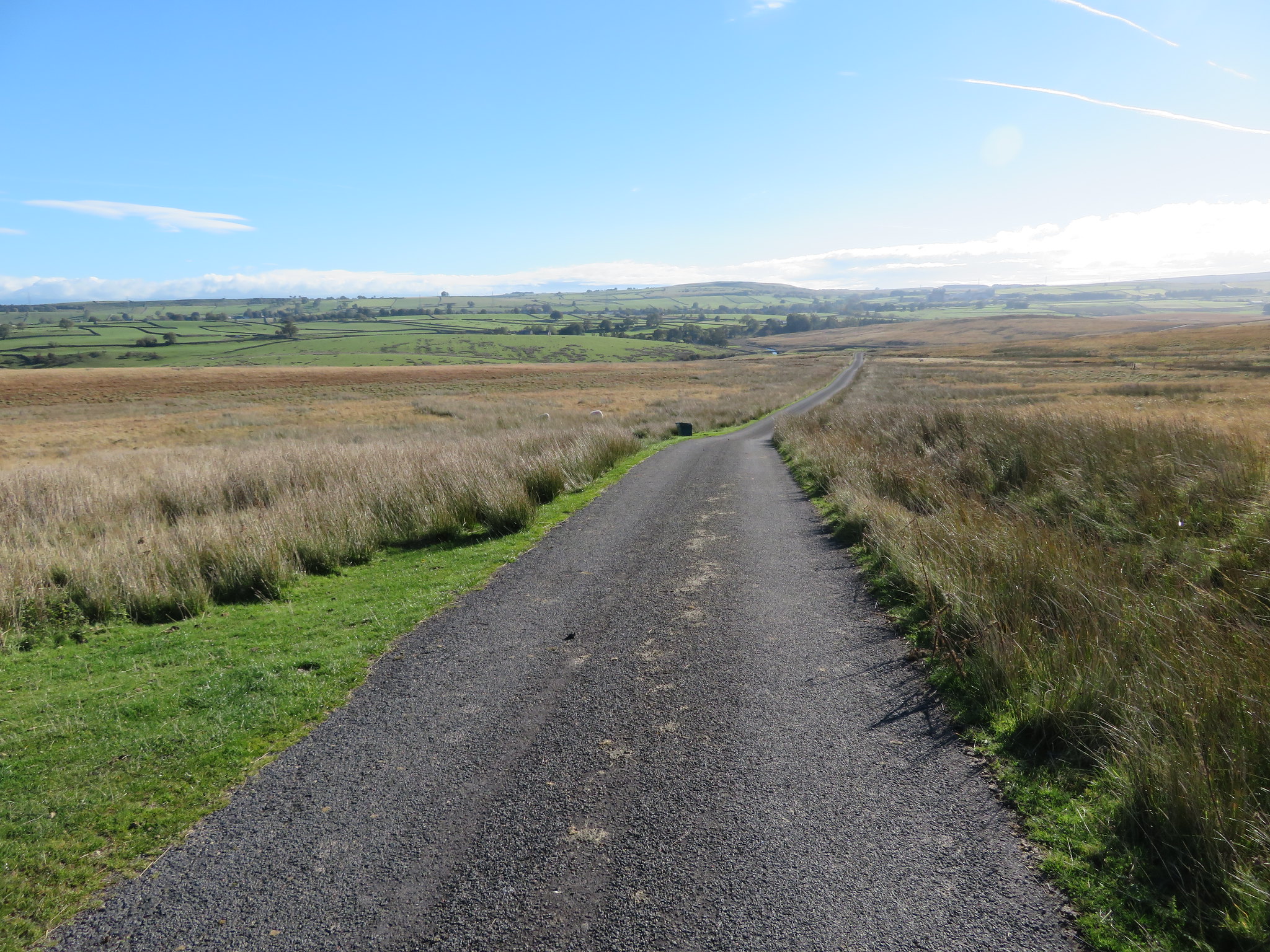
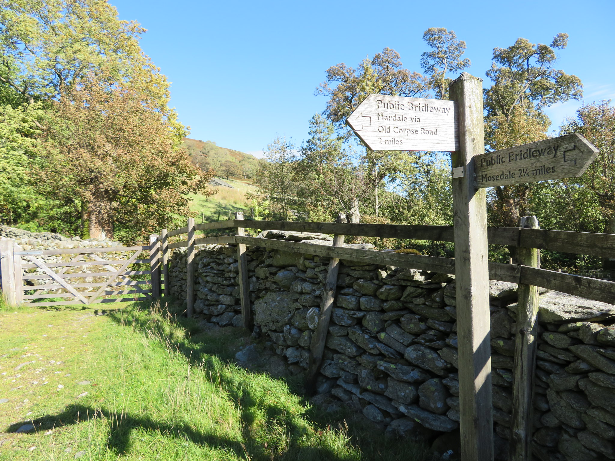
A few minutes walking and after a look back to the east saw us arriving where the tarmac ends at the track down to Tailbert and the start of the walking along the now easily identifiable OCR by the wide and green track that leads off to the southwest. At the point where the OCR begins there is also a second track that should not be mistaken for the way to Mardale Head as this one takes a southerly direction towards Seat Robert and then joins the track that goes down into Mosedale, past Mosedale Cottage - a bothy - and then on to Gatescarth Pass and Longsleddale. The next photo was taken just as we left the metalled road.
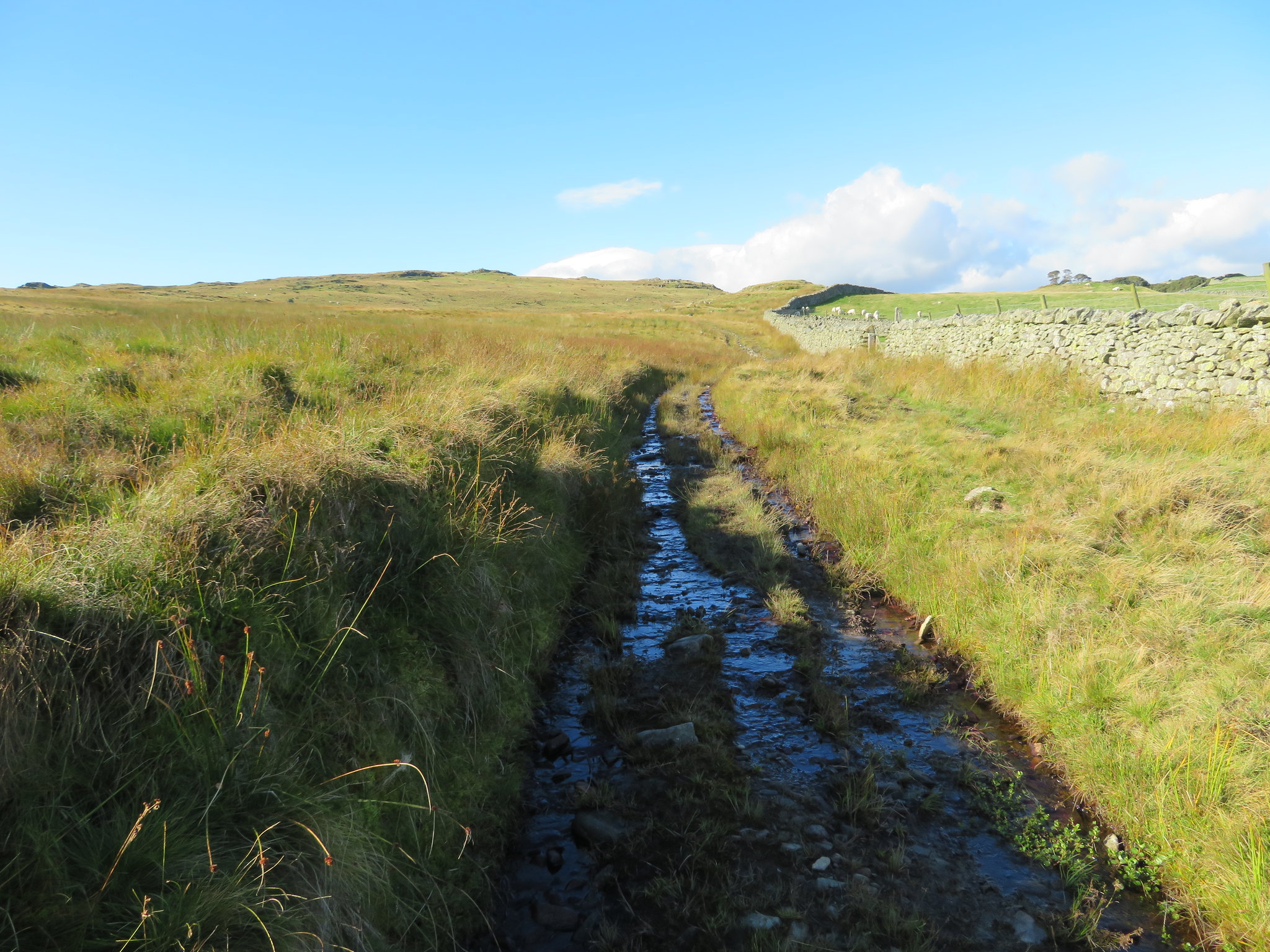
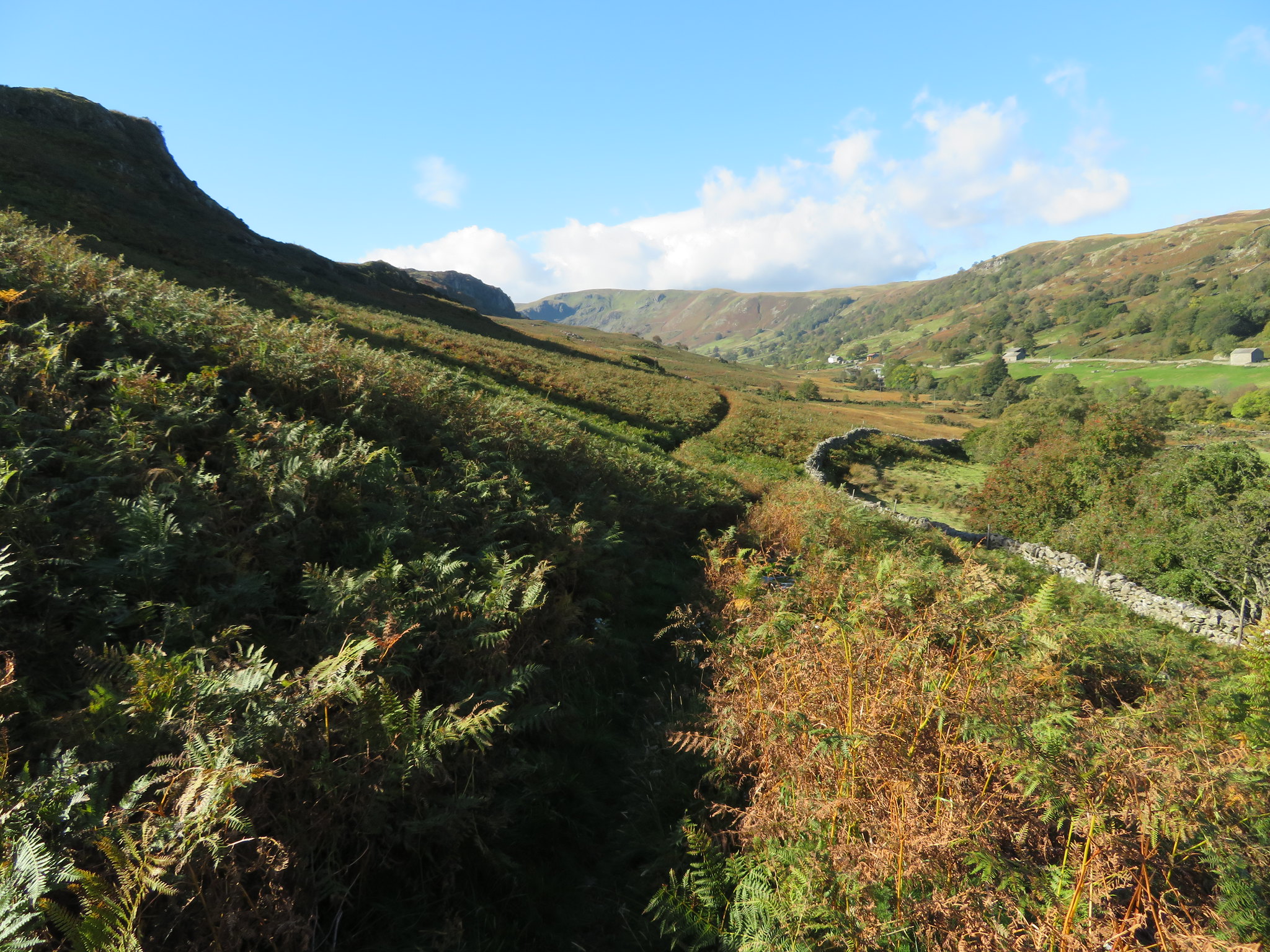
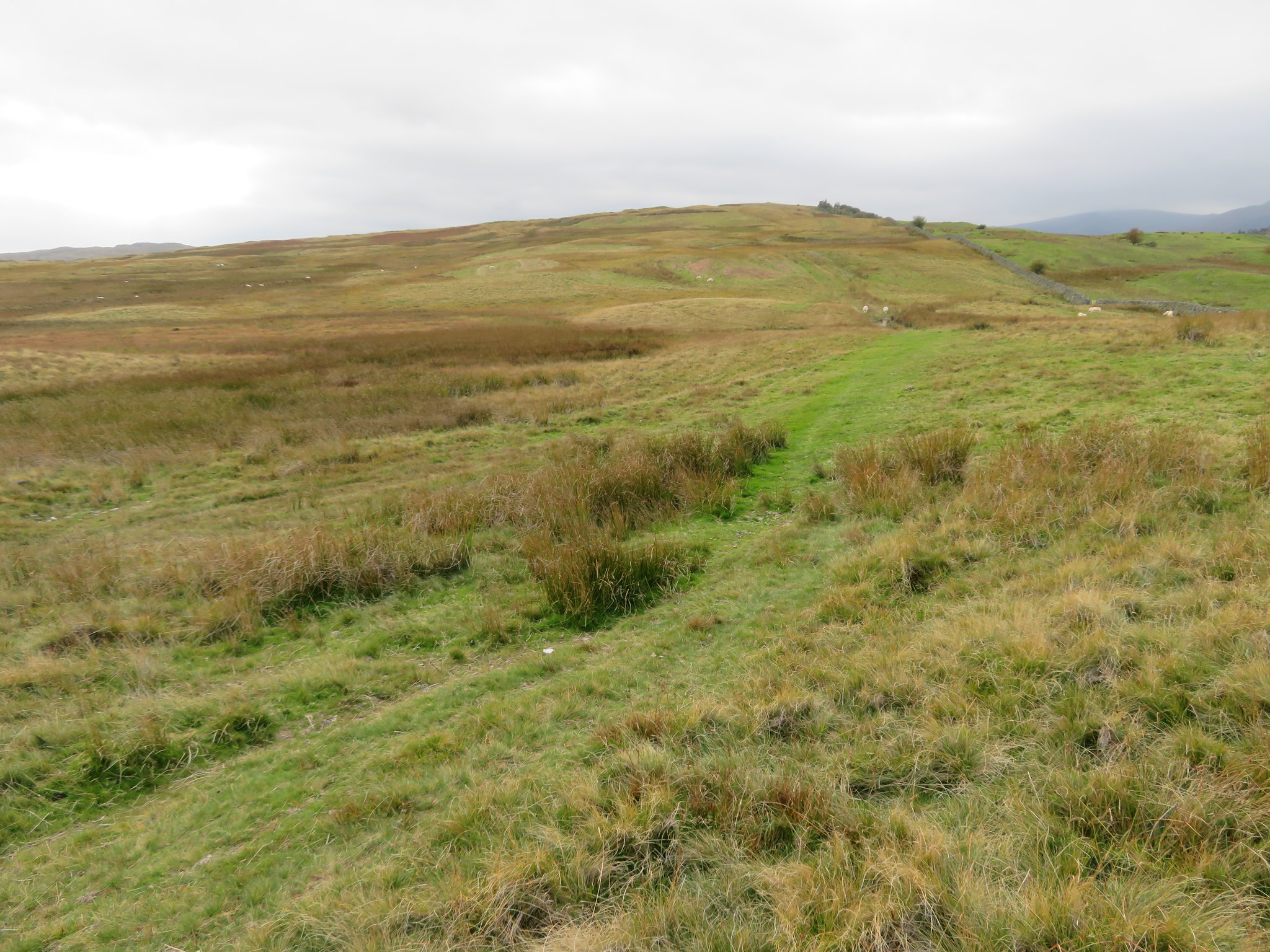
 Thiefstead and Langhowe Pike from the Old Corpse Road
 Looking to the north it can be seen that the intake wall makes a definite boundary between the pastures of Tailbert Head and the rough fellside of Ralfland Forest to our left before we arrive at the connecting strip of rough grass land that stretches across the valley bottom at Swindale Foot to sort of connect up both Ralfland Forest and Rosgill Moor as it climbs up Tailbert Bank and on to Swainsey Crag.
The way forward is easily followed as the track varies between short grass and long grass with the typical features of a stony farm track in places. There are a few wet and soft spots but we have had rain on and off for the last few days but these are easily got around and we soon arrived at the crossing at Tailbert Gill where a pond had formed although the few stones made for a dry boot crossing. As we rose out of the gill the top of Thiefstead appeared behind Bracken Howe…
 Approaching Thiefstead
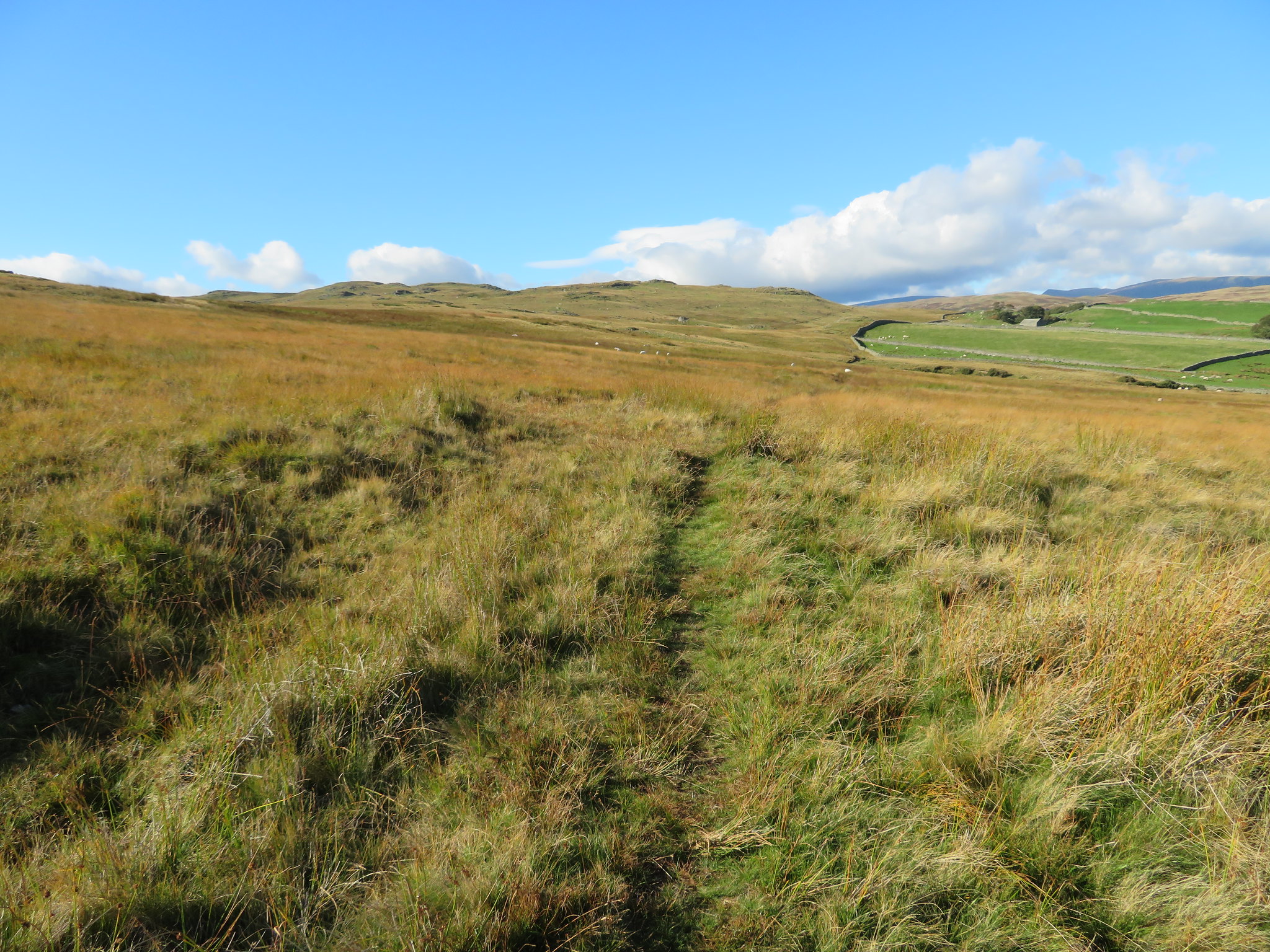
 and we left the stony track to once more walk on the grass track for a while until that was reduced to a narrow path that would be with now all the way to Swindale's Truss Gap in the valley bottom.
It was a gloriously warm autumn day, blue skies and white clouds moved on by the now brisk and cool breeze that was to get much stronger as we arrived at the highest point of our walk this side of the dale. Not much to see to our left but great views to the north with the visibility clear enough to be able to see the Pennines with Cross Fell and the two Dun Fells alongside whilst nearer to us we could see the villages of Bampton and Bampton Grange with Knipe Scar sat behind them as a large brown patch due to the acres of dying bracken that is so prominent on those fellsides. Knipe Scar itself is a limestone plateau with the remains of an old settlement sat on its far eastern edge, a settlement that I failed to recognise when I was up there a while ago.
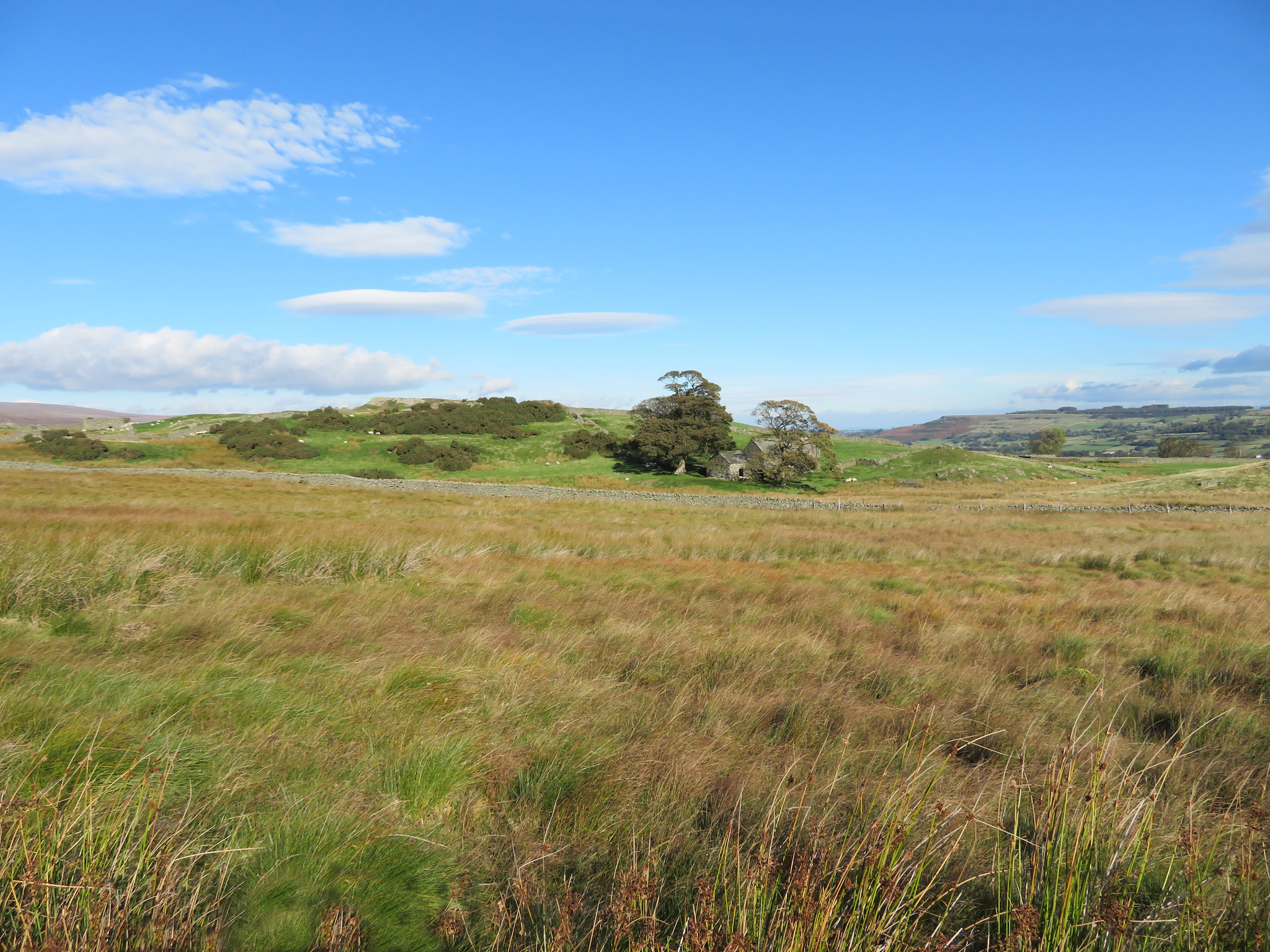 Sheltered barn at Tailbert Head
 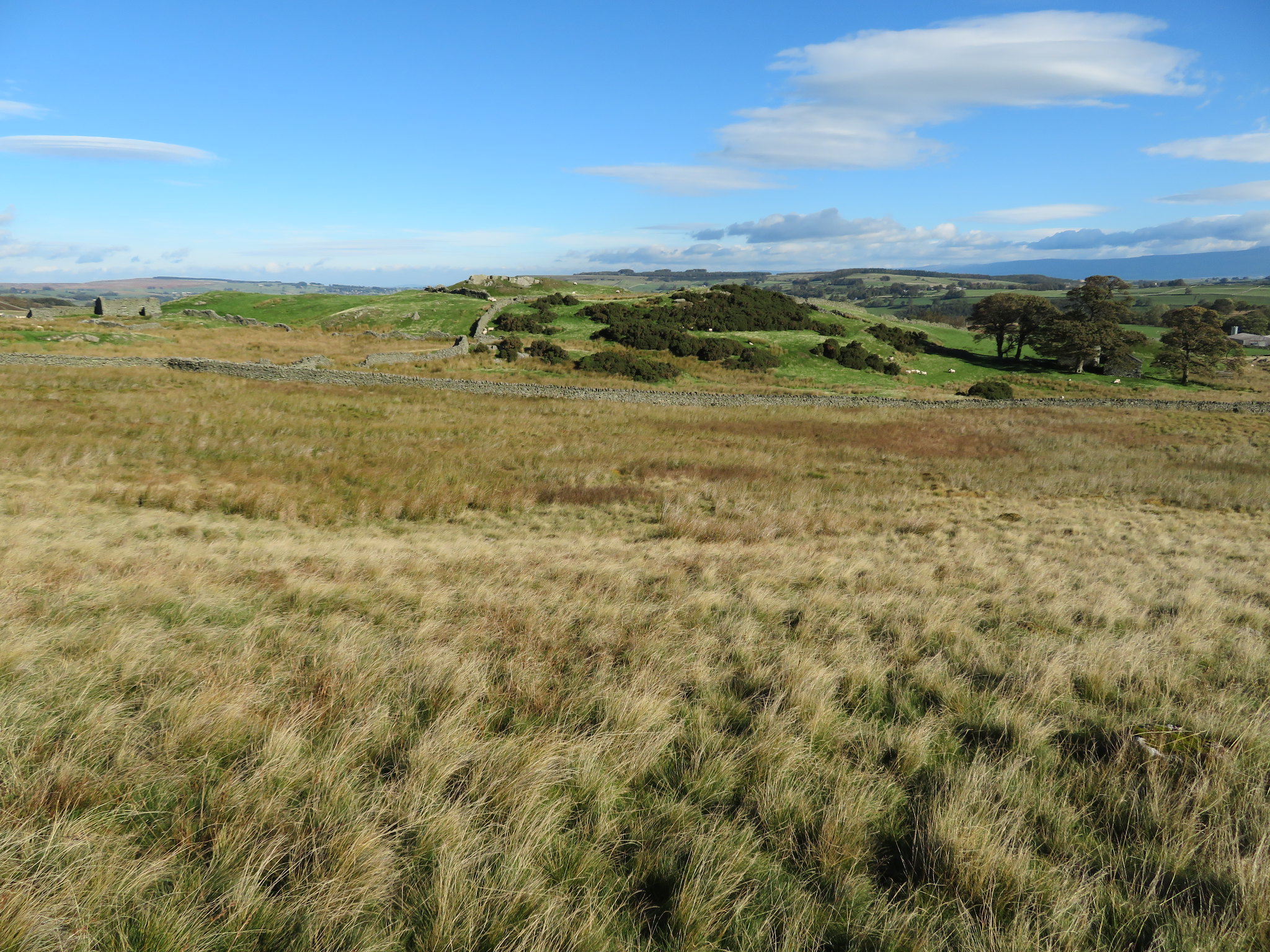 From brown to green at Tailbert Head
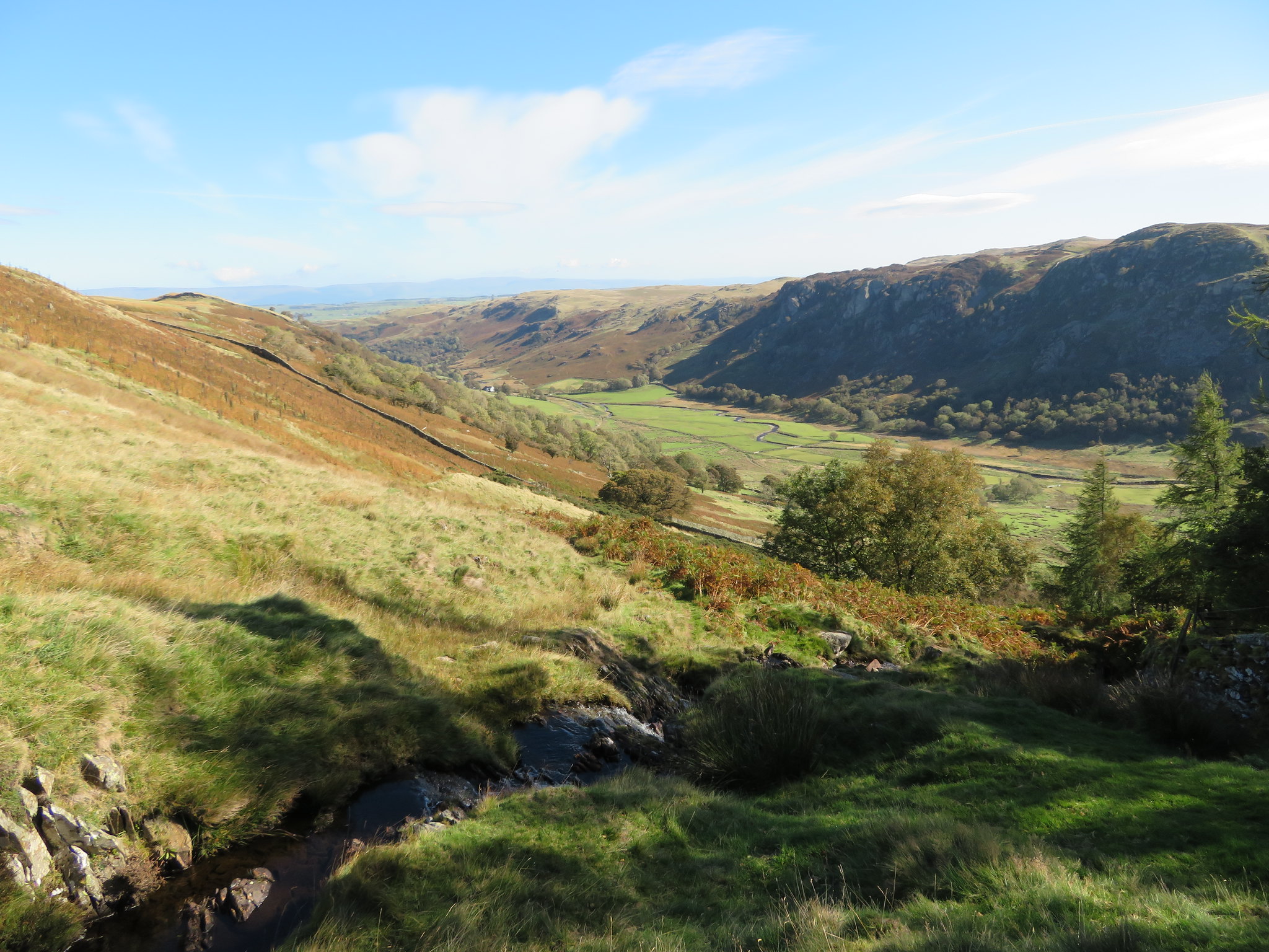
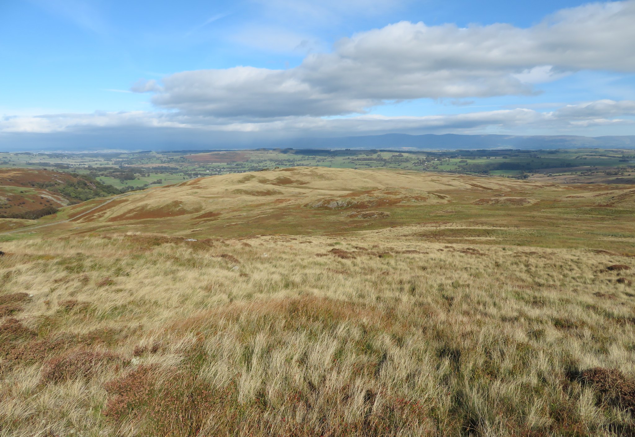
We were by now passing below Thiefstead and approaching the strip of rough fellside that lies between Tailbert Head and Swindale Foot and were now not far off the end of the climb on this southern side of the dale, a lump of bare rock at around 330 metres from where there is a most magnificent view along the length of Swindale and right into Dodd Bottom that lies below the southeast side of Selside Pike, a feature of Selside Pike that is never seen unless walking this route or making their way to Mosedale and many people would be under the impression that it is just another big grassy and harmless fell.
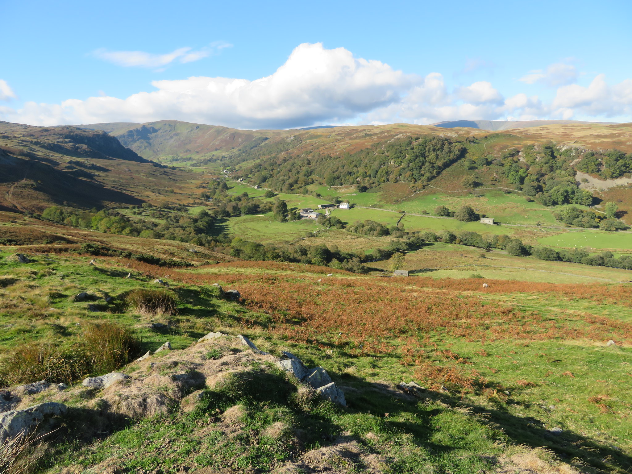 Swindale from below Thiefstead
 The crags above Dodd Bottom have some great names, Geordie Greathead Crag, Black Bells, Low and High Blake Dodd, the two Birkin Knott's and one would wonder where such names originated from, shepherds, miners, cragsmen, who knows, as the ones they are named after and those who named them are now long gone.
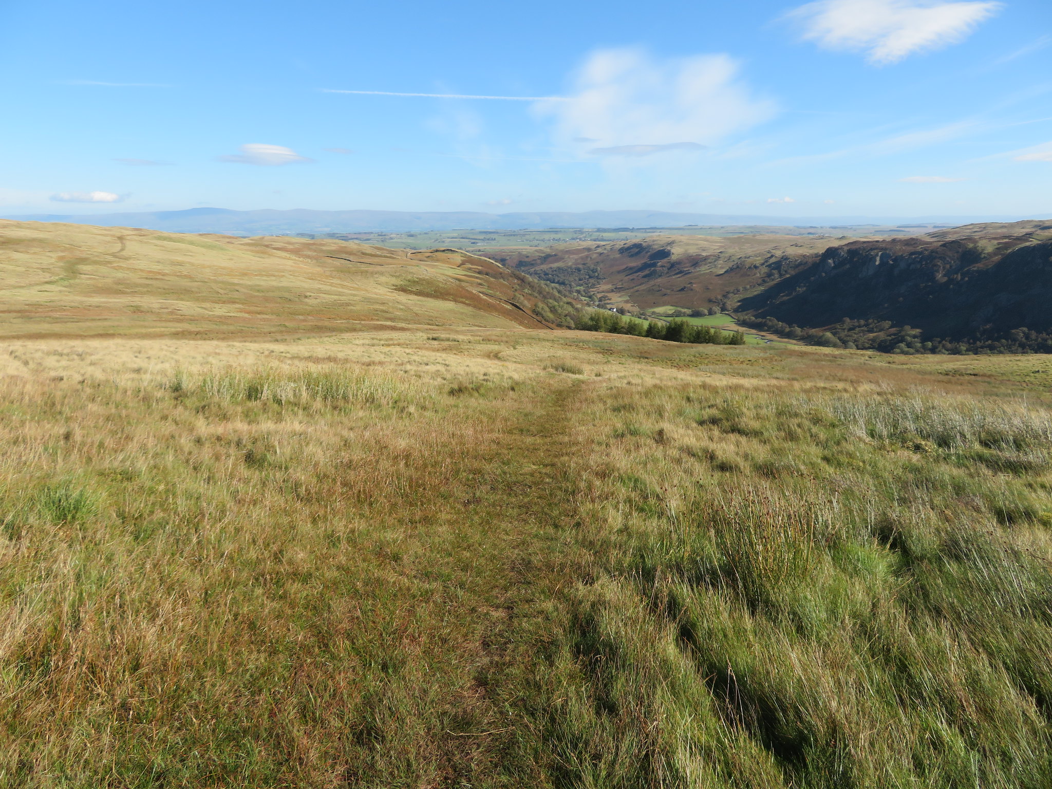
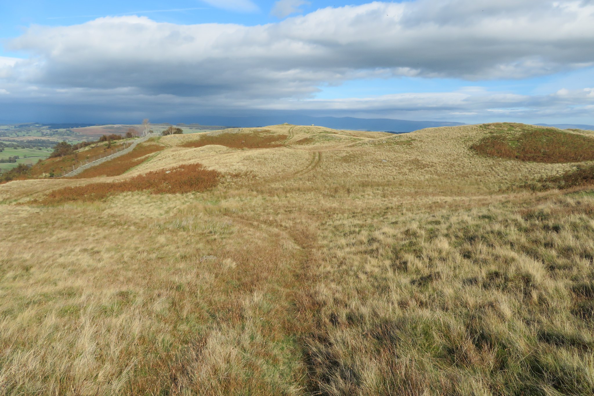
From this high point we could see most of our route in front of us, the path down through the dying bracken and our way out on the other side the climb being in the far distance where it climbs up to Thorny Knott and then the Swindale Common Ridge straight across from us and then back down to Rosgill Moor for our return across Swindale Foot. Looking to our way forward from this point we could see the mass of rock that is named Trussgap Brow, a large black crag that appears to form a large arc on the skyline and it looks just as its name suggests, a brow.
The wind was now really strong and cold and I had a task in keeping myself steady whilst using the camera and eventually gave up and took to lying down behind a sheltering rock. E was struggling to keep upright and how can it be so cold when the sun is shining so brightly making it positively near tropical just a few metres back down the path.
We left this cold but beautiful spot and continued down into increasing shelter looking for somewhere to have a break. We were now surrounded by dying bracken as walked along the narrow path that again was wet in places but with no untoward problems.
It's a fairly long walk from the summit to Swindale Head but easy going all the way with a couple of gates in the deer fence that is an attempt to contain the deer on the open fells where they belong and not roaming around the valley bottom creating havoc with the farmers crops. We eventually found a sheltered spot and a couple of decent rocks where we had a break basking in the now warm again climate.
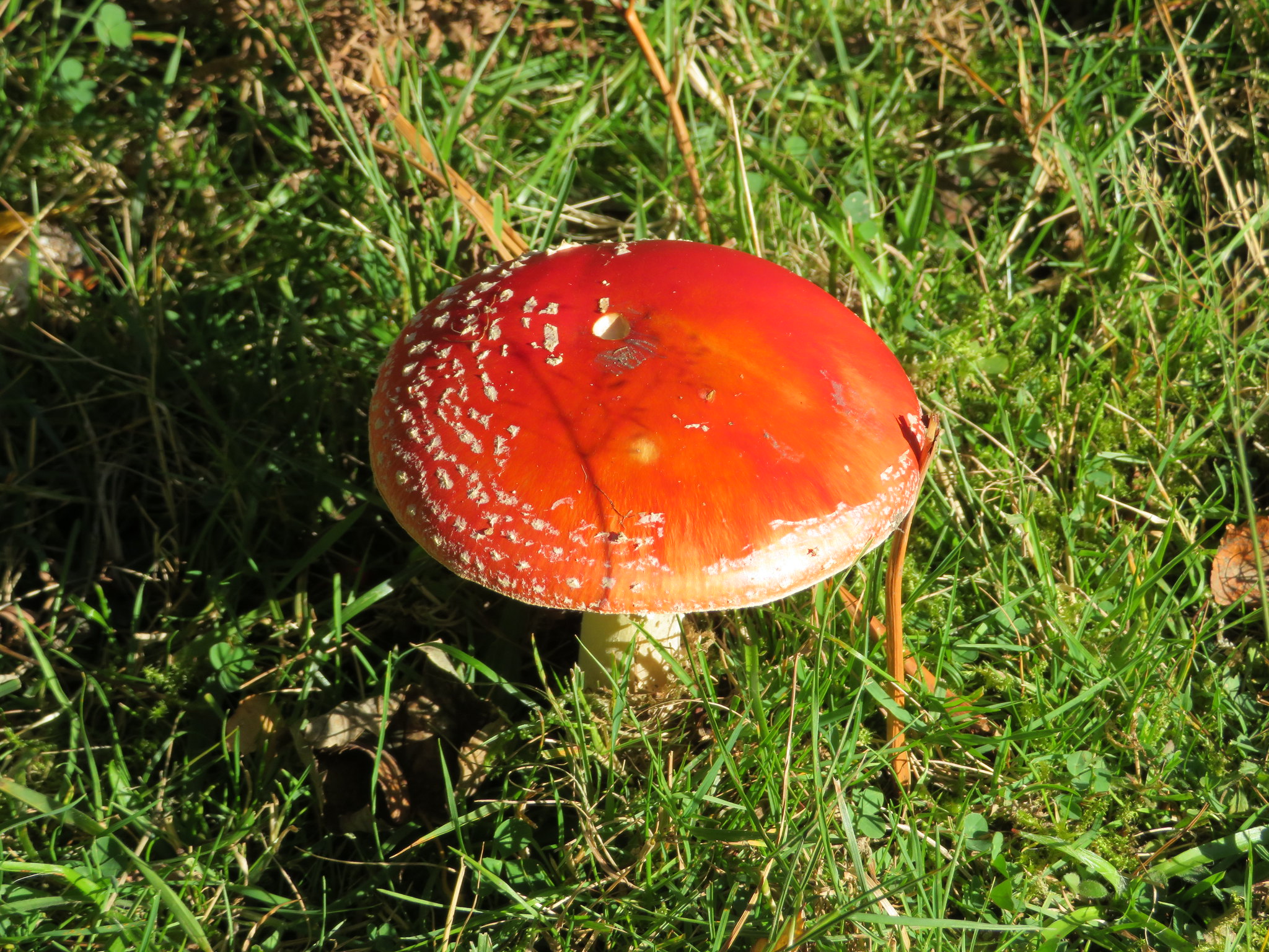
We came across a Fly Agaric mushroom…
 Fly Agaric toadstool
 a plant that I have long thought of and known as a toadstool and contrary to belief it can be eaten although it does have hallucinogenic properties, so if anyone fancies a trip…
 A long walk through the bracken
 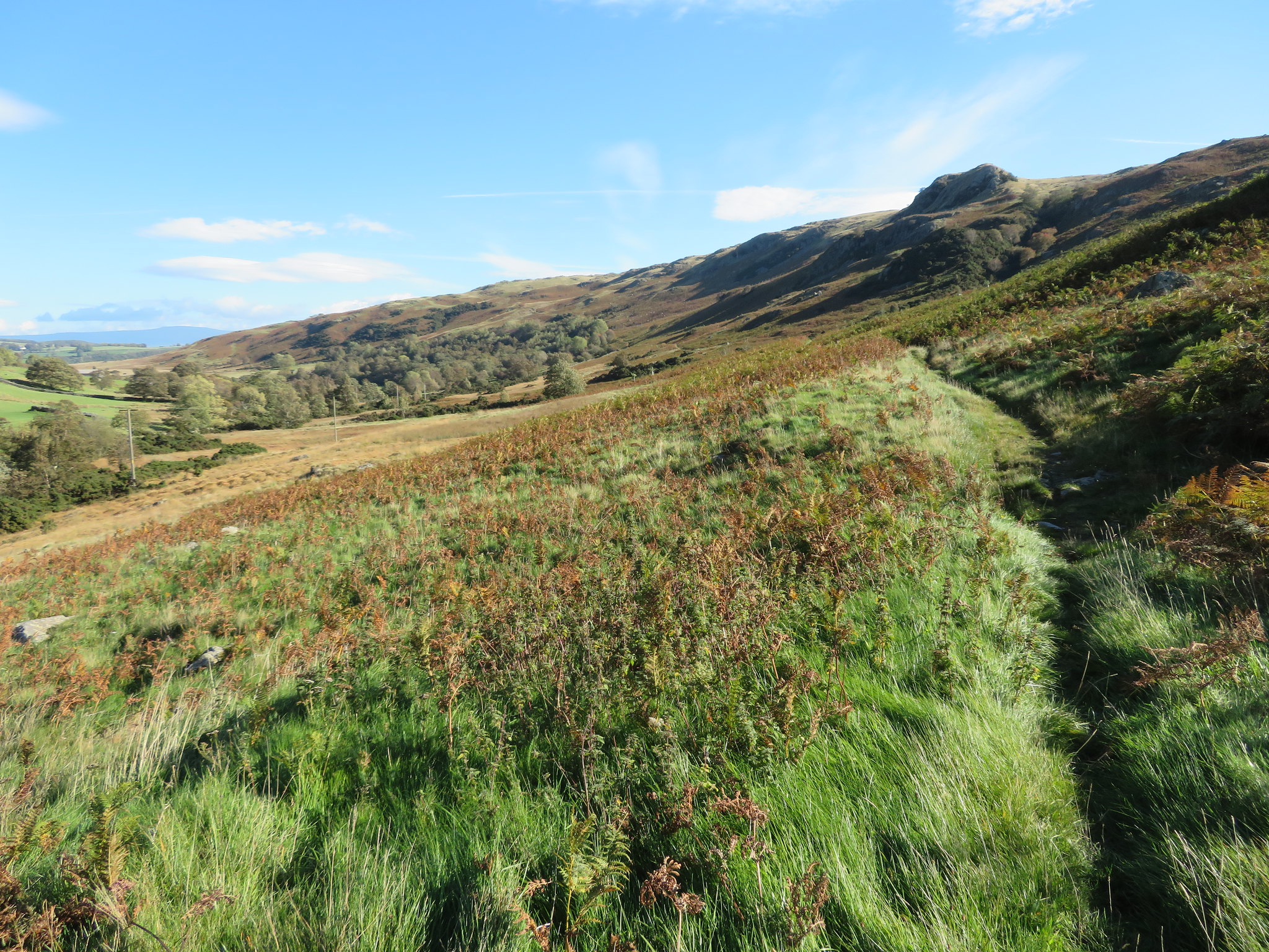 A look back to Trussgap Brow
 As we walked along the signs of the original width of the OCR came into view in various places especially where the ground was harder and dry and looking back along the dale right the way to the distant Pennines was a great view indeed. We passed 4 walkers going in the opposite direction on their way to Seat Robert and these were the only people that we saw on this walk after leaving Keld.
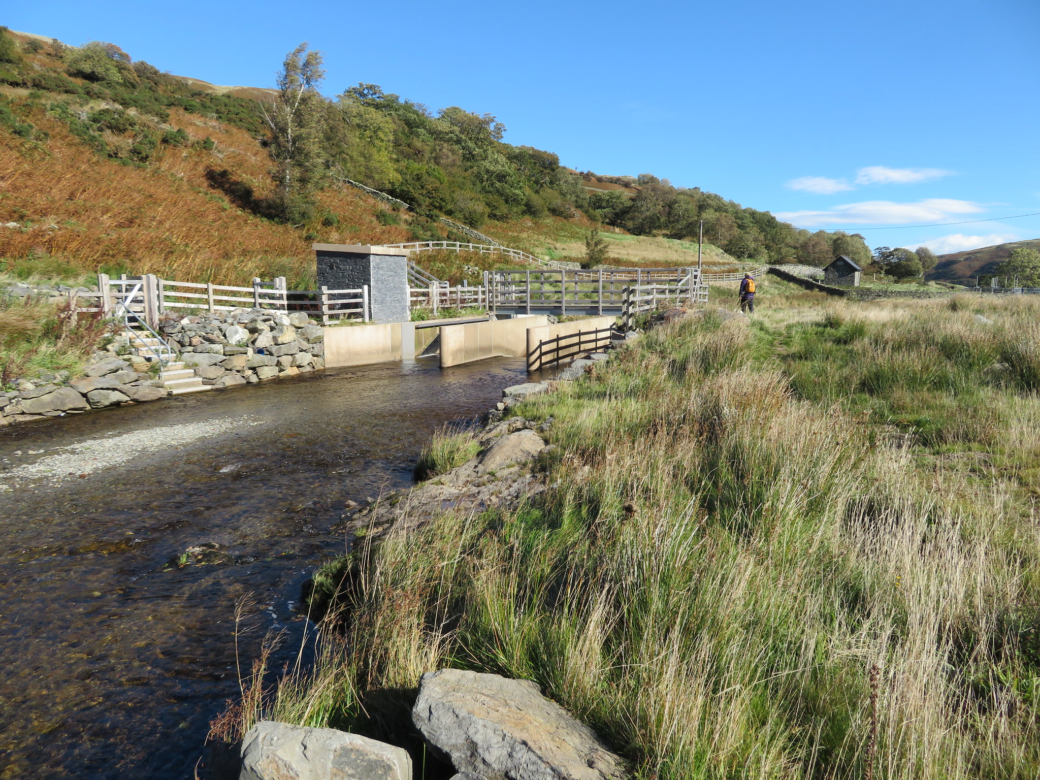
We were soon down at the valley bottom and fast approaching a large grey structure sat across Swindale Beck, part of the new Water Restoration Works in which the RSPB and United Utilities are greatly involved. From 2016 onwards they have planted hundreds of trees around Swindale and to lessen the risk of flooding have reinstated the bends in the beck that was straightened out many years ago by the local farmers to give them more land.
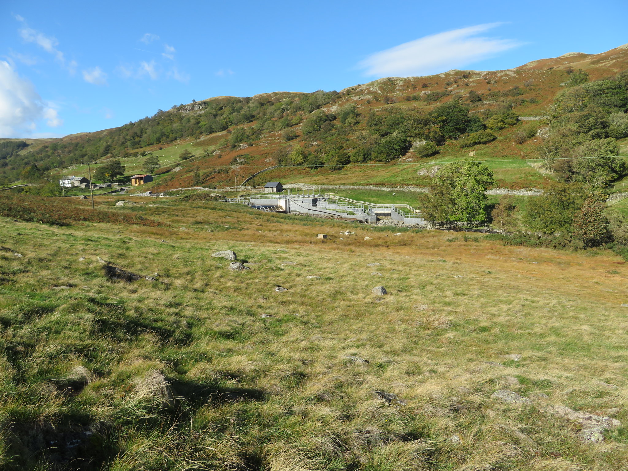 The new dam complex in Swindale
 Running up the side of the wall from the bottom weir to the top one there is a black trough with a mesh grill cover on it and it looks like it is either an eel ladder or one for fish to continue their journey upstream. We were now at Truss Gap.
A short walk got us to the beck where there is a line of stepping stones across it, ones that would have had to be negotiated with a coffin carrying gang of four, or maybe they used a pack horse for the task.
 Stepping stones across Swindale Beck
 E wasn't keen on the idea of rock hopping so we took the newish bridge that has been incorporated into the new dam.
 New bridge across Swindale Beck
 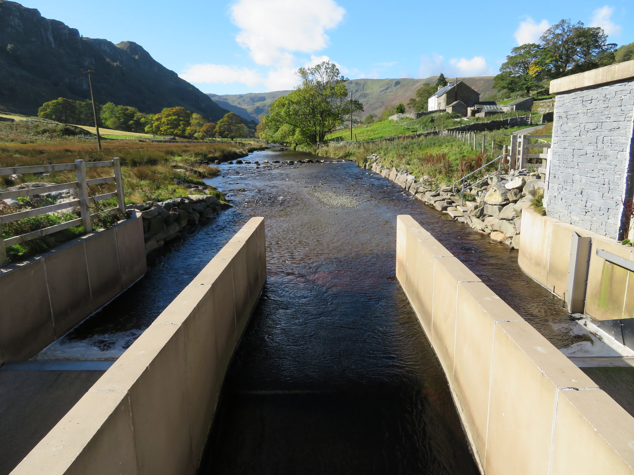 The view west from the bridge over Swindale Beck
 Swindale is a beautiful place, all peace and quiet, surrounded by fine views of crags, woodland and pastures green and the beck was as clear as crystal as it rippled its way over the thousands of pebbles and cobbles that line the bed of it. This dale has tranquillity and beauty unbounded, and it must be thanks to its remoteness that contains it so with only one narrow metalled road leading into it with the concrete road of the United Utilities only crossing it as it winds its way in and out of Swindale Foot as it passes through from Wetsleddale to Haweswater, so long may it stay in the peace of the past.
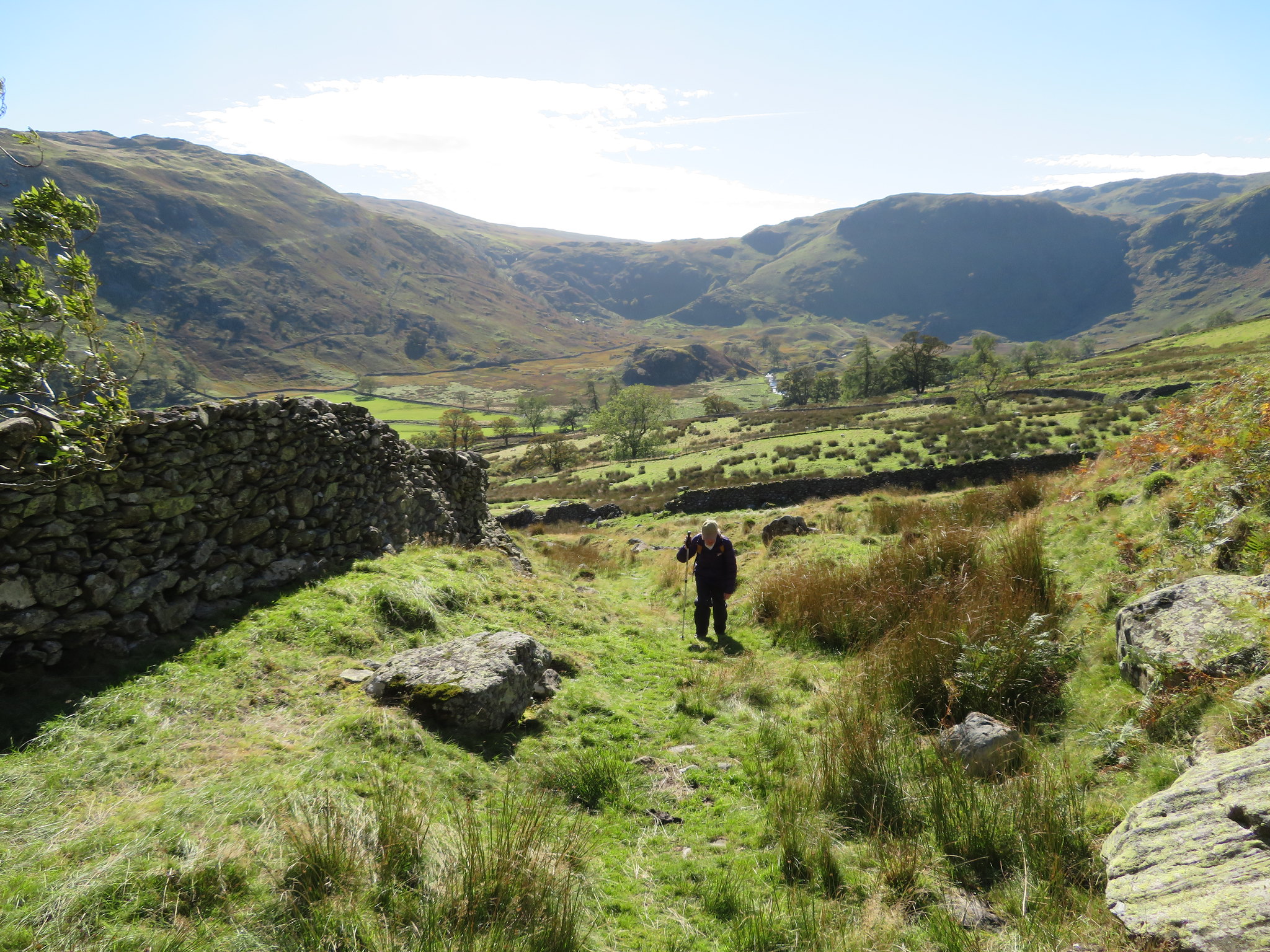
Since leaving the metalled road at Tailbert we have been walking southwest and if we were walking all the way to Mardale we would continue on that course for around 8 kilometres - 5 miles - as it appears that these corpse roads were made as straight as possible, and in this case that is so, although the total length of the road itself is approximately 11.3 kilometres - 7 miles - including the metalled road to Shap. The last person to travel this way from Mardale feet first in a box was a John Holme in June 1736 and along the route of these types of roads there were a number of lych stones on which to place the coffin when the bearers were in need of a rest.
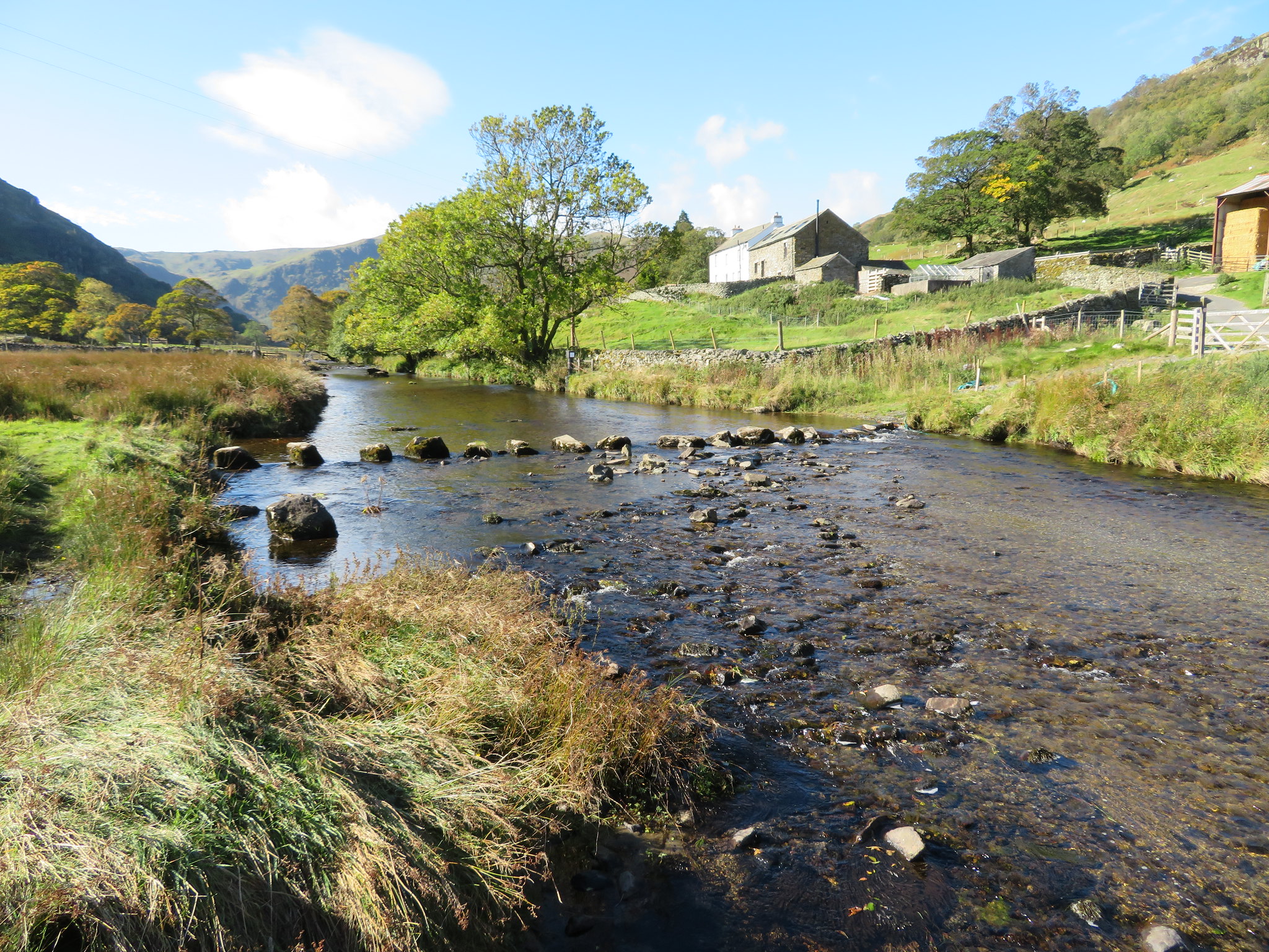
After crossing the bridge we passed through another deer fence gate and continued our walk along Swindale Lane, a 1.2 kilometre - ¾ mile - narrow metalled lane that leads directly to the isolated farm at Swindale Head. As we walked along the tree lined lane the dale opened up before us and is a most beautiful sight with the river running through peaceful green pastures, a scattering of trees leading into Dodd Bottom all in the shelter of the craggy eastern face of Selside Pike.
 Looking into Dodd Bottom and Selside Pike's crags
 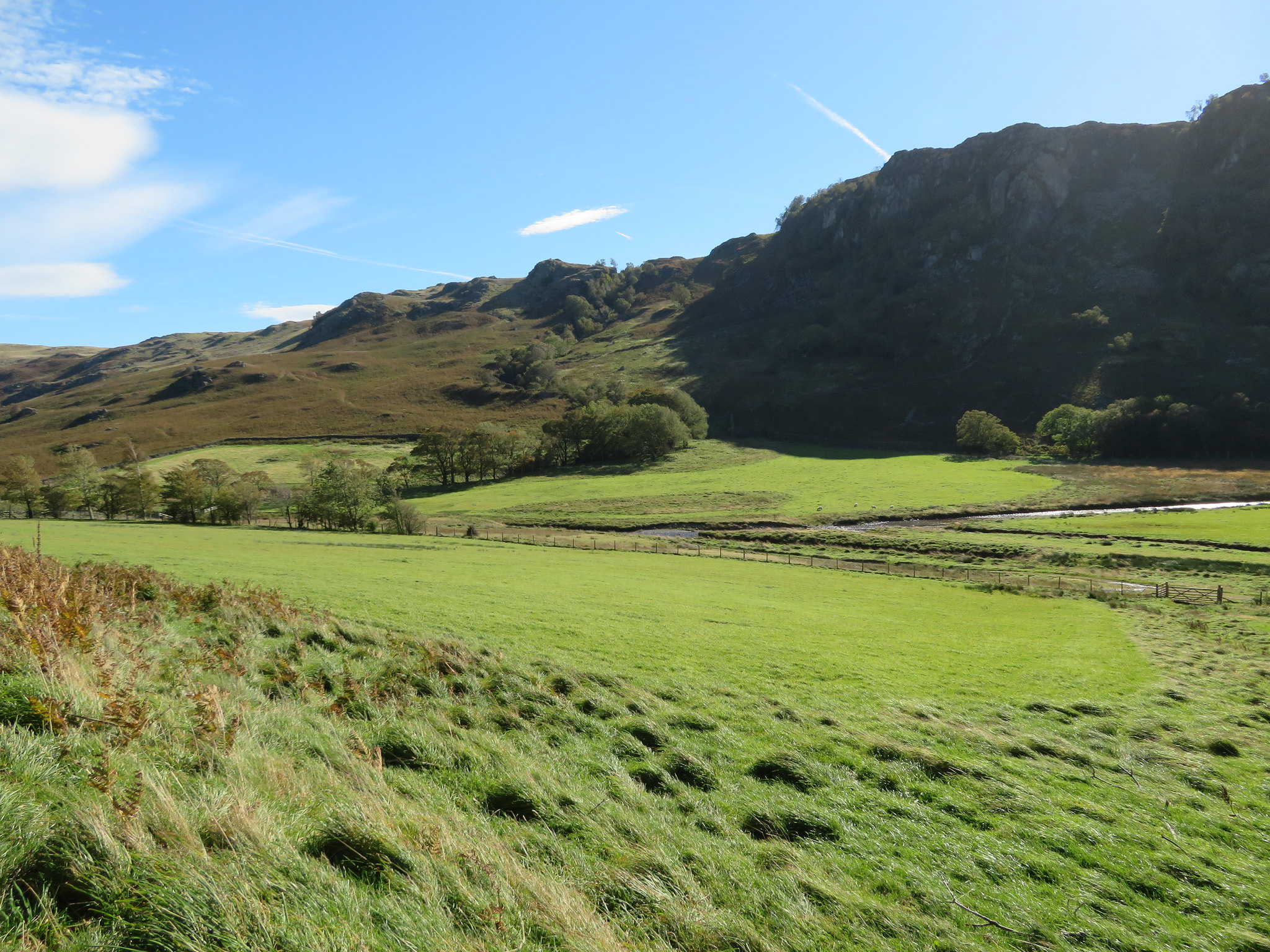 Looking back to our descent below Trussgap Brow
 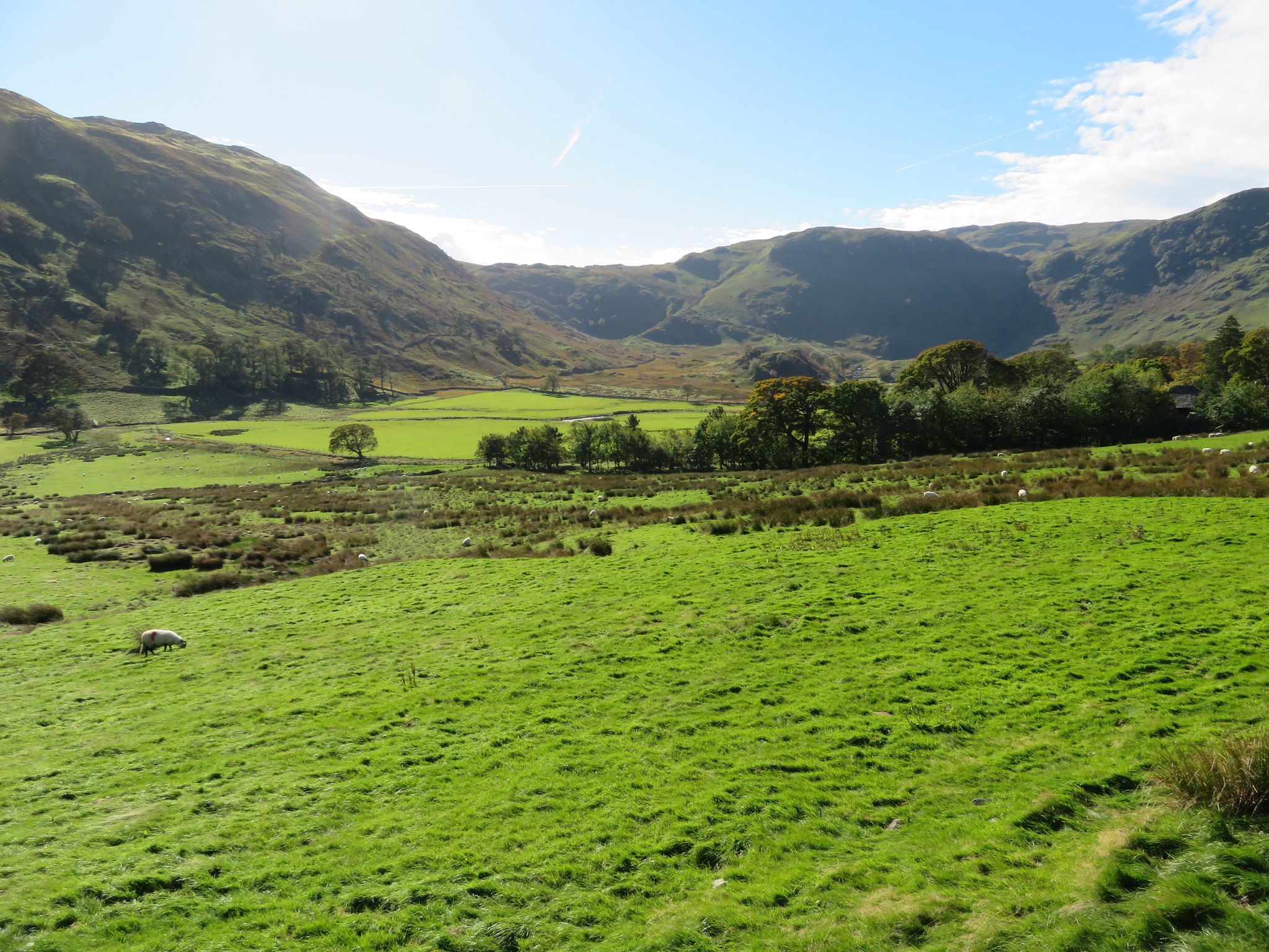 Peace and isolation at Swindale Head and Dodd Bottom
 This was a lane to linger on and enjoy the views and sunshine and thinking that coffin bearers from Mardale wouldn't have had time to enjoy the views on their outward journey but time a plenty on the way back. This old road was used by many more people other than the coffin bearers as it was also used by the monks from Shap Abbey as they made their way to the church at Shap. There were also packhorses, peddlers, travellers, local people going to church and also many goods that were making their way to Manchester by way of the train station at Shap. Much of this trade came from Mardale Green from where - it is recorded - 3,000lb of butter per week was carted along the road for its short train journey south and that is why it is so well graded and engineered on the short but steep bits at both Mardale and Swindale Head.
Maybe I'm giving too much information in this report instead of getting on with the walk so I'll now get on with it.
We were not long in arriving at the farm at Swindale Head where there is a handy fingerpost for the unsure walker…
 Swindale Head fingerpost
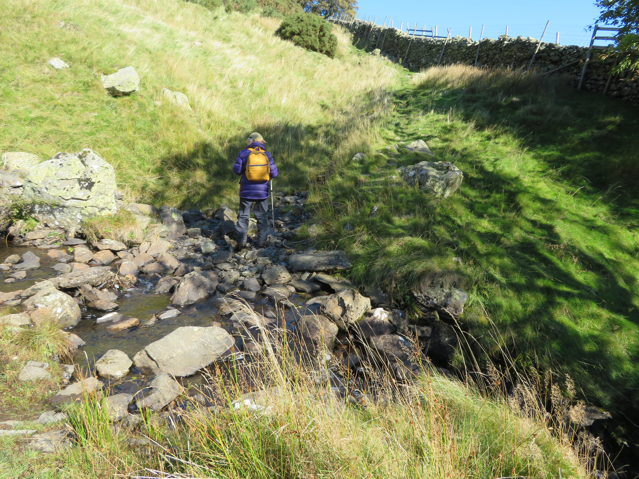
 telling us that it is 2 miles to Mardale, but we are not going that far, only to Low Birkin Knott or near enough to where the path leads either on, or off Selside Pike, this is the point where we would turn around and make our way back along the Swindale Common Ridge. First of all though we would have to make the short and fairly steep climb up to Thorny Knott before the path eased off where the ford is by the walled tree enclosure across the unnamed watercourse.
 Start of the climb to Low Birkin Knott at Selside End
 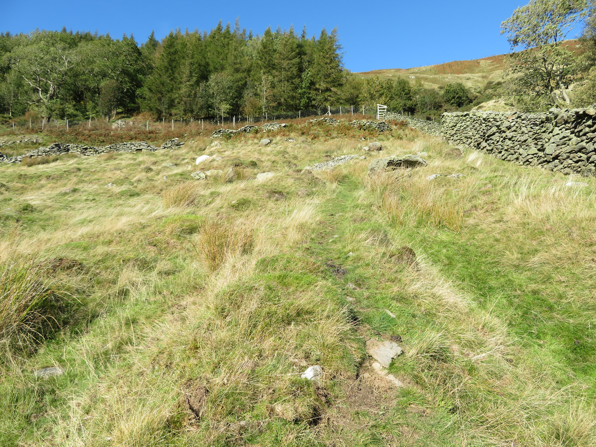 Climbing below Thorny Knott
 Just as we reached the zig of the zigzags E started to have trouble with her right leg and pain around her hip joint area so the pace had to be slowed down a tad as we made the climb up…
 E has a sore leg at this point
 allowing more time to savour the great views back into Dodd Bottom and the accompanying crags where the line of the path into Mosedale can be seen making its way across Nabs Crag.
 Crossing a feeder of Swindale Beck below Thorny Knott
 This short climb has been well engineered in days gone by and although it's gone to seed a bit now it is still in fair condition and bears testament to those that constructed and maintained it all those years ago. Just to the left of this crossing the water tumbles down from the steep slopes of Thorny Knott forming a wonderful cascade as it splashes its way over the rocks.
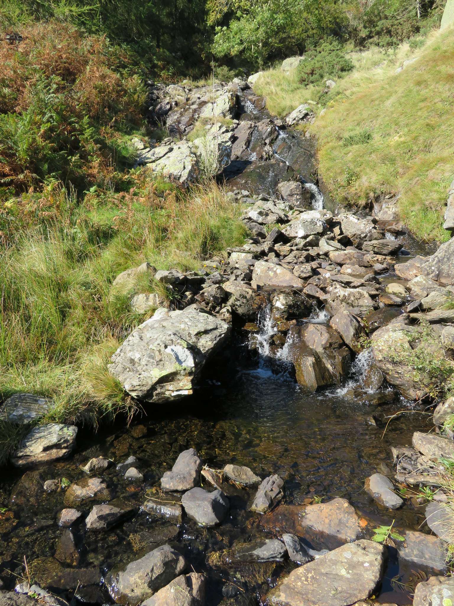 Water tumbling down from Thorny Knott
 A steady climb up the zig, and then we were on the zag, approaching the aforementioned ford by the wall with now a long and sunlit view along the upper reaches of Swindale.
 Looking southeast along Swindale from the ford on the feeder syke of Swindale Beck
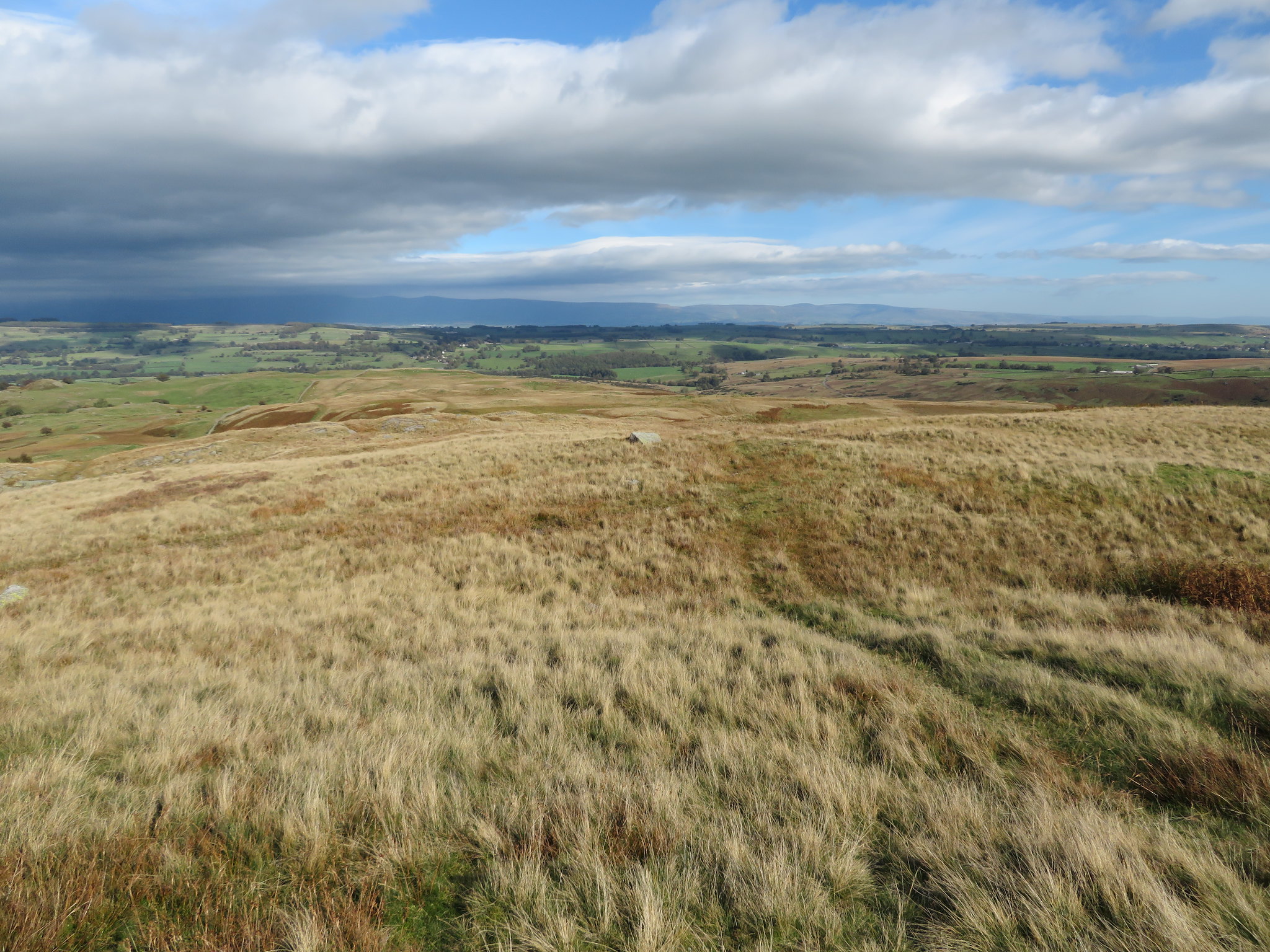
 From this point the climb out of Swindale Head is all but over as the ground quickly eases off to make for a very steady walk along the more familiar looking old road to our turn round point at Low Birkin Knott, or thereabouts and now that we were out of the dale we could see for miles with the far west to eastern skyline dominated by the Pennines, Cross Fell and its two not much lesser kin alongside it. Our way down into the dale could be seen from this point and the brown grass of Swindale Common was like a gigantic carpet of velvet baize.
 A view towards the Pennines from Low Birkin Knott
 Looking the other way along the Old Corpse Road we could barely yet see the summit of Selside Pike but that would appear just a few minutes later as the tops of the High Street fells including Kidsty Pike would also.
 Selside from Low Birkin Knott
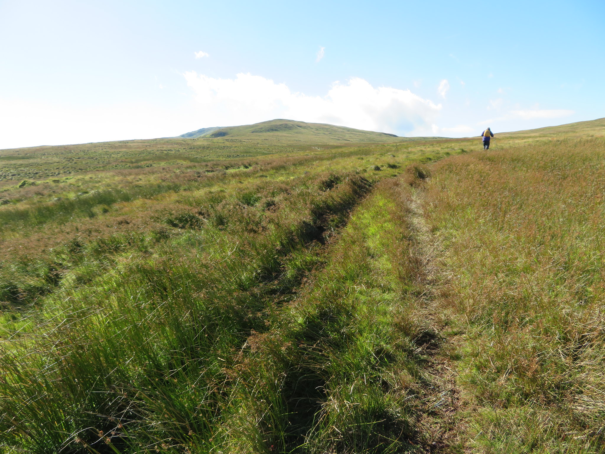
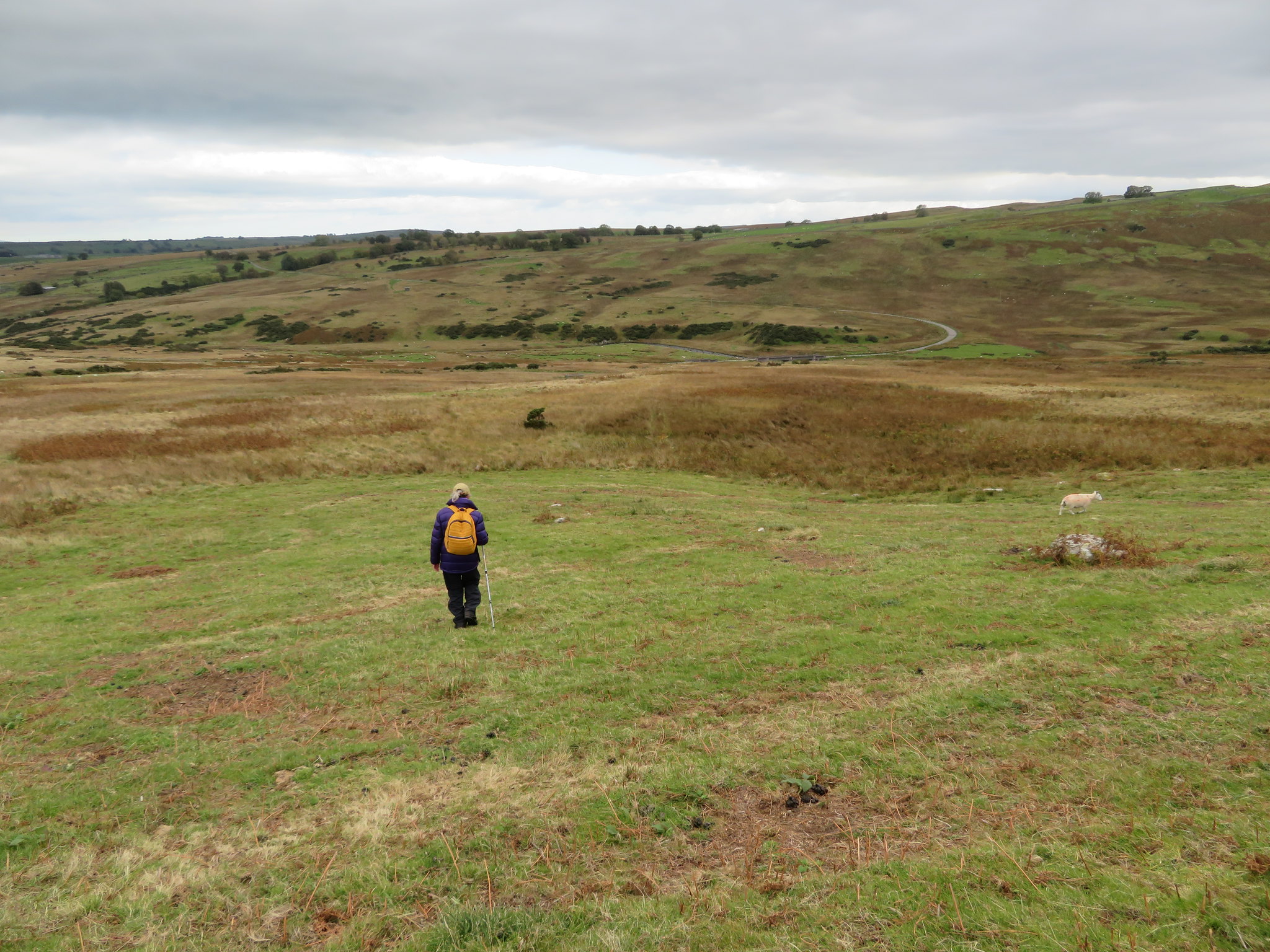
 E was struggling a little with her sore leg so we pulled in for a pit stop behind a rock sheltered from the keen breeze just below Hare Shaw and from where we could see miles of beautiful landscape unfolding before us. I've walked these hills before and they're quite a delight to stroll over being smooth and gentle in nature with many and varied paths, tracks, deer and sheep trods to assist the passage from one rounded hill to another. A good few minutes rest and E was ready to set off again although she was strangely subdued, that in itself was strange as usually when out with E all signs of wildlife has long gone before we would have had a chance to see them. Not one to cast aspersions and say that she talks a lot but…
Setting off once again we passed below the south side of Woof Crag and Hare Shaw to walk over the 474 metre high unnamed summit that lies between Hare Shaw and Powley's Hill following a sheep trod to get us there. A mere bump of the fell, just one of many little rocky knolls that make up Swindale Common but this one has a cairn on it from where we could see the south western skyline and the long north ridge of Selside Pike.
 The High Street mob with Kidsty Pike far right
 Moving on and making our way towards Powley's Hill this time on a faint quad bike track we made good time despite the sore leg and were soon on this next unpresuming hill and still looking north towards the Pennines we saw a large bank of cloud moving in and slowly sweeping the sunshine away before it as we gazed over to Harper Hills and the limestone escarpment of Knipe Scar swathed in the brown of dying bracken, it being just one of the few high points between here and the Pennines and sitting just behind Bampton Grange.
 Harper Hills with the brown of Knipe Scar behind
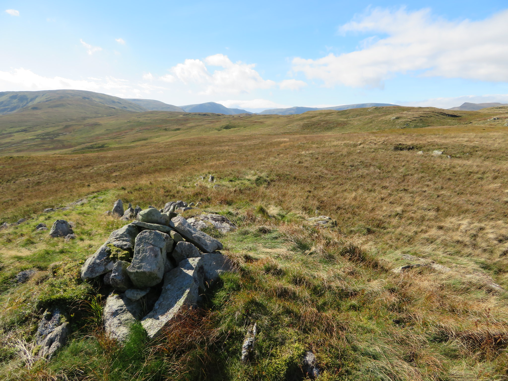
 Since leaving Low Birkin Knott we have been walking roughly northeast to Powley's Hill but from this hill we did a swerve down to the north walking over short grass to meet up with a good track that now follows the intake wall northeast again as we now made our way to Harper Hills. This is just another mass of grass with a cairn of large stones sat on a layer of thin grass, a place that we didn't linger about on apart from the time it took to take a couple of photos.
 Scalebarrow Knott from Harper Hills
 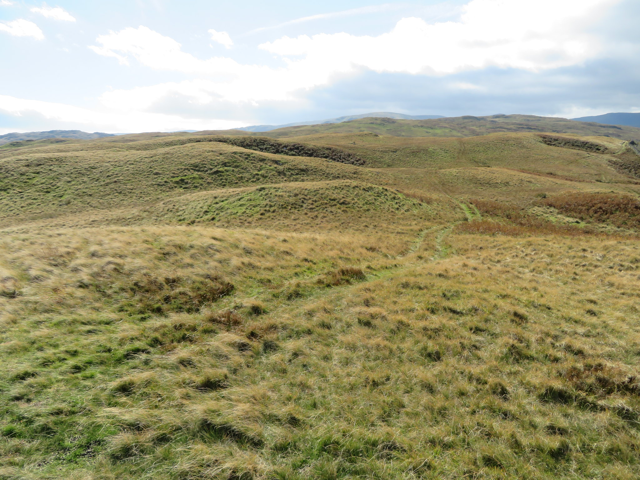 Looking back on our route
 We had a clear view of the last hill, not that we were hill bagging but it was easier to follow the tracks and paths across the high ground than to go around them and we could clearly see the summit cairn and block of stone sat on the top of the last hill to which we would follow a decent track.
 Good track to Scalebarrow Knott
 The track is good and wide and makes a bee line towards Scalebarrow Knott and the distance was soon covered but before we climbed this last hill the leg had to be rested again so a refuel was made just at the foot of the climb up after which we made our way up the easy grass bank to the summit.
 Looking back to Harper Hills from Scalebarrow Knott
 From here we were to follow a good track all the way back down to the water authority's service road after cutting a corner and crossing Rosgill Moor at Swindale Foot, a large flat area of rough pasture inhabited by sheep, rushes, and gorse bushes. Just after the next photo was taken I had to relieve E of her bag as she was now suffering in silence.
 Crossing Rosgill Moor to Swindale Lane and Swindale Beck
 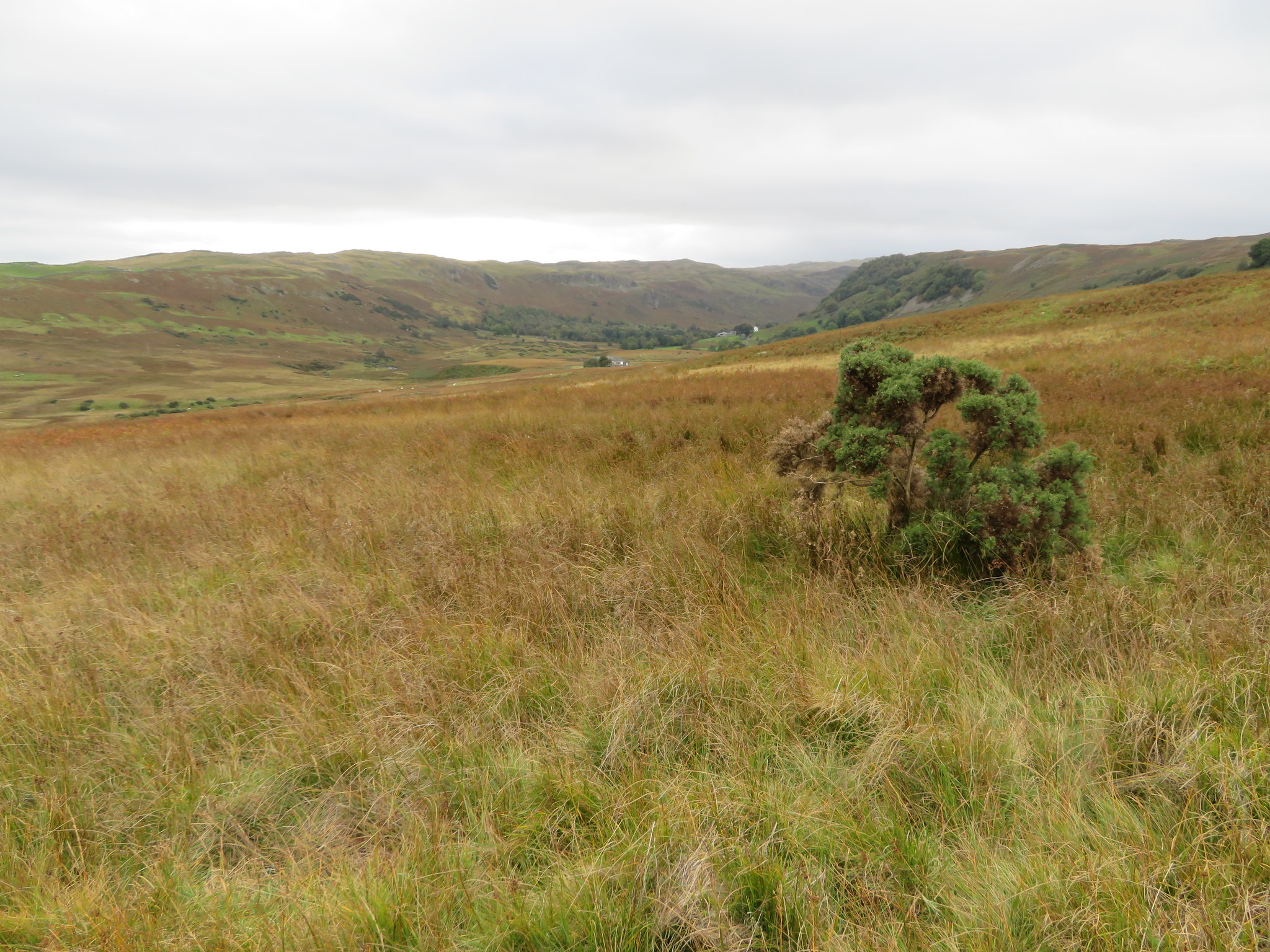 Swindale Foot from Rosgill Moor
 We crossed over Swindale Lane to then pick up the UU concrete road just north of the two bridges across Swindale Beck…
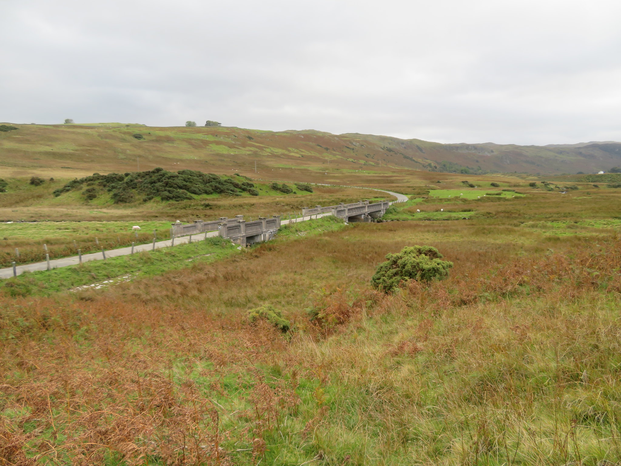 United Utilities bridges across Swindale Beck
 and now had a fair but easy walk out of the dale along this road.
 United Utilities bridges and road out of Swindale to Keld
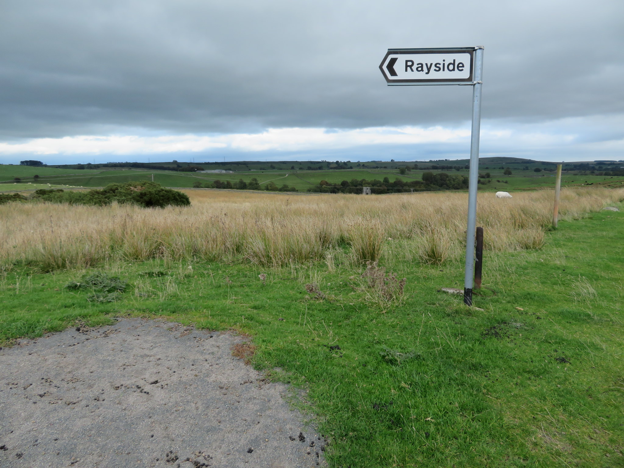
 I walked; E limped along the long and steady climb out from the beck and upon reaching the signpost for Rayside…
 Shap Abbey tower showing centre
 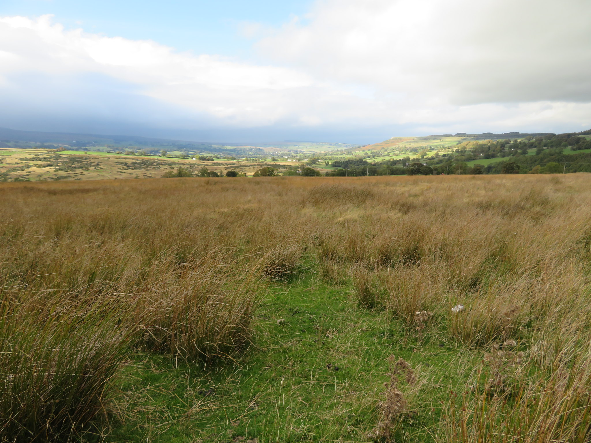 Bampton and Knipe Scar
 we turned down the lane to the north for a good few metres and then east along a little used path, into a sloping field to follow the wall all the way back to the River Lowther and Shap Abbey.
A very fine walk and one that E was glad to see finished today but having walked more than halfway before she took bad there was no point in turning back and the return was the easier part of the walk. Also a good day weather wise with sun all day and warm despite the cool breeze that was very strong at height but giving clear views. The clouds starting rolling in late on in the walk and we beat the rain that was to come later in the day. An interesting walk full of history and beauty and there was a calmness in Swindale that belied the nature of the overlooking crags, and apart from the four walkers heading for Seat Robert we saw not another soul, either of the living or the ones that had passed feet first being carried in a box before us. The whole length of the corpse road is an easy passage and although we met a few wet spots they were easy to get around and due to one sore leg the regulation drink at the end of a walk had to be put on hold for another time. Life can be rough sometimes.
