free to be able to rate and comment on reports (as well as access 1:25000 mapping).
Back in July I made my fourth trip to the Alps (and my second with the Belgian Alpine Club). After last year’s adventure high up on the Monte Rosa, this year’s objectives were at a more modest altitude in the Ecrins massif - though with some technically harder rock climbing than last year.
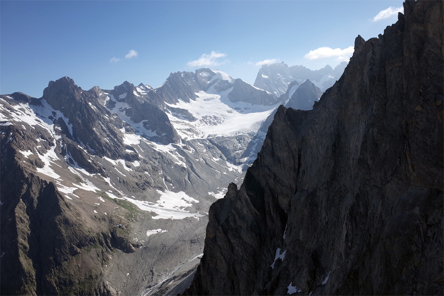
We were based at La Berarde, in the heart of the massif. It’s a beautiful little village at about 1700m above sea level and only accessible on skis in the winter months. For the drive down from Brussels I was able to bag a lift with Lucian, who was also in my group on the Monte Rosa last year. Arriving a day before the others we decided to start our acclimatisation with a walk up to the Chatelleret refuge beneath the south face of the Meije.
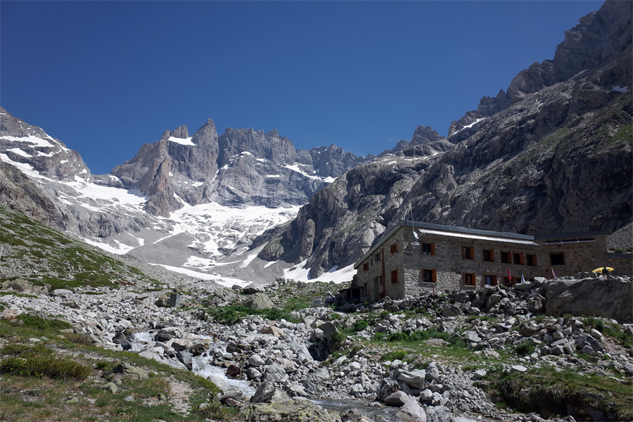 La Meije and Chatelleret refuge8 July // 12km // 1000m
From La Berarde the walk up to the Chatelleret hut is straightforward, with the fantastic south face of the Meije dominating the views in the second half of the walk. As we passed the 2000m mark I was amazed to see some big patches of snow. Temperatures in the valley were close to 30 degrees. On the way down from Brussels we’d stopped briefly in Grenoble where temperatures were closer to 35! These snow patches at relatively low altitude were an indication of what a heavy winter it had been.
Arriving at the hut we enjoyed refreshments on the terrace and then decided to climb a little higher to the west along the Sentier de la Gandoliere to get just above 2500m before retracing our tracks to our base in La Berarde. All in all a good first day and nice warm up after a day in the car.
9 July // 9.5km // 857mToday Lucian and I met the rest of the group, including Ines (who knew Lucian and me from last year’s trip to Italy), Marc (who had already been in the area for over a week and who hiked into La Berarde over a high pass), Colette (enjoying her first experience of alpinism) and Jacques (who had also been in the area for a week with his bike, cycling some phenomenal distances and climbs). We also met our guide - Quentin - originally from Liege but a long time resident of the Ecrins.
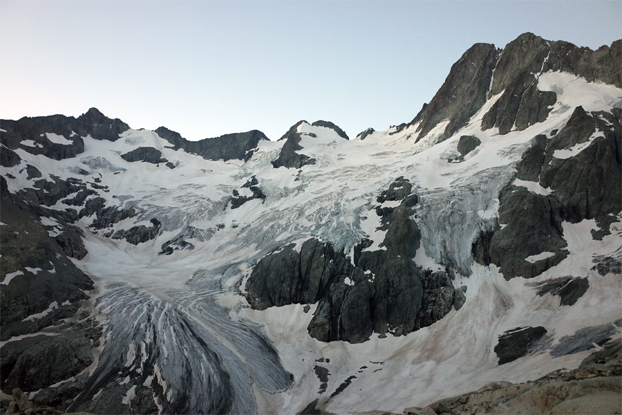
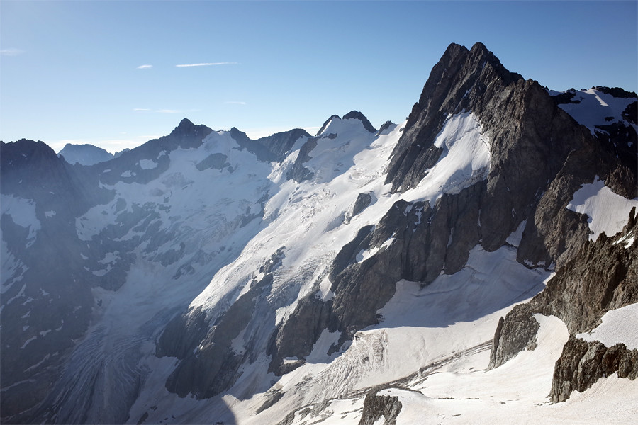
 Ascent to La Pilatte
Today’s hike took us from the valley south the refuge La Pilatte (2577m) which overlooks the eponymous glacier - one of the larger in the Ecrins. The walk up to the hut felt like something of a slog given the very high temperatures (again close to 30 degrees at the start). Before setting out I had also made the mistake of eating a large sandwich, leaving me with terrible indigestion by the time we reached the hut. Inside the refuge a series of photos on the wall showed the glacier’s startling retreat over the last century with the most aggressive retreat occurring in just the last fifteen years.
 Looking back towards the valley
After enjoying a simple evening meal we retired to our room ready for an early start the next day. The six of us had a dorm to ourselves and with the temperature inside the hut at nightfall quite cool, we made the mistake of not leaving a window open. I woke in the middle of the night to a suffocating atmosphere inside the room. I opened the window to let some air in and gazed up to see an amazing night sky. I stood there for about 10 minutes and saw two shooting stars before returning to my bunk.
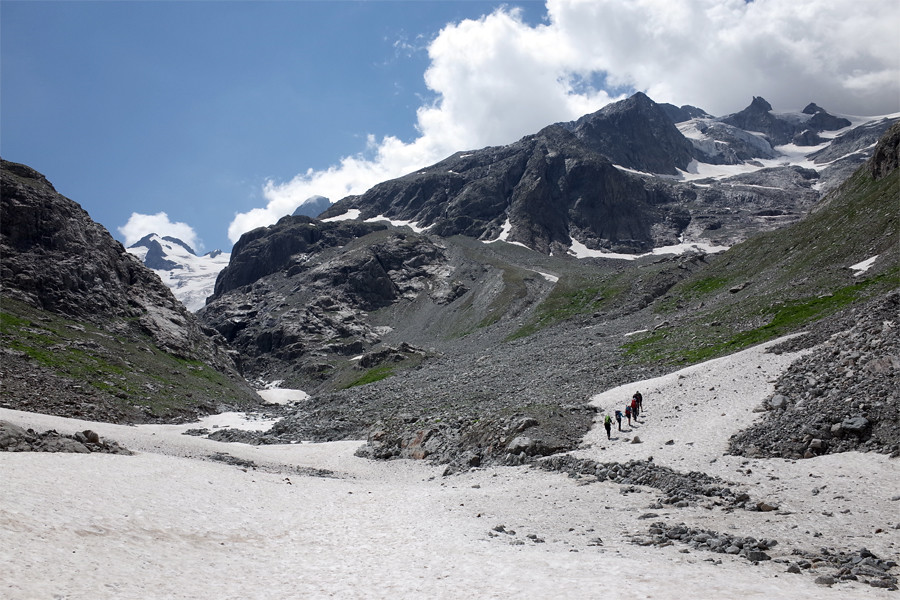
 Plenty of snow left10 July // Mt Gioberney (F) // 15.5km // 775m
We were up and out of the hut before 5 and started climbing fairly steep, rocky ground to the south west of the hut towards our objective, Mont Gioberney (3351m). If I’m being honest I don’t have especially fond memories of the day. Our guide seemed to have an attitude on him, constantly admonishing us for various perceived faults and generally treating us like children. The way up to Gioberney was easy and I had no idea why we roped up as early as we did For the first couple of hours from the hut we were moving over the sort of Grade 1 scrambling terrain that to my mind didn’t demand a rope and where a rope (without some protection between the climbers) might be a hindrance rather than a help.
 Pilatte glacier from hut
Before the summit we crossed a small patch of glacier and then soaked up the views from the top. They were certainly stunning but I couldn’t shake off my grumpy mood. I had hoped that this week would push me a little and see me learn and employ new skills and progress as an alpinist. But so far on day 1, it had been anything but. This being said, the opportunity to practice self arresting during an ‘ecole de neige’ on our way back down from the summit was certainly valuable.
 View south from Gioberney summit
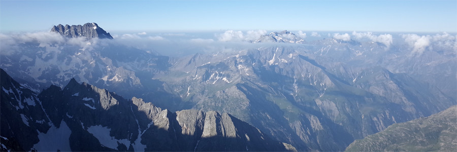
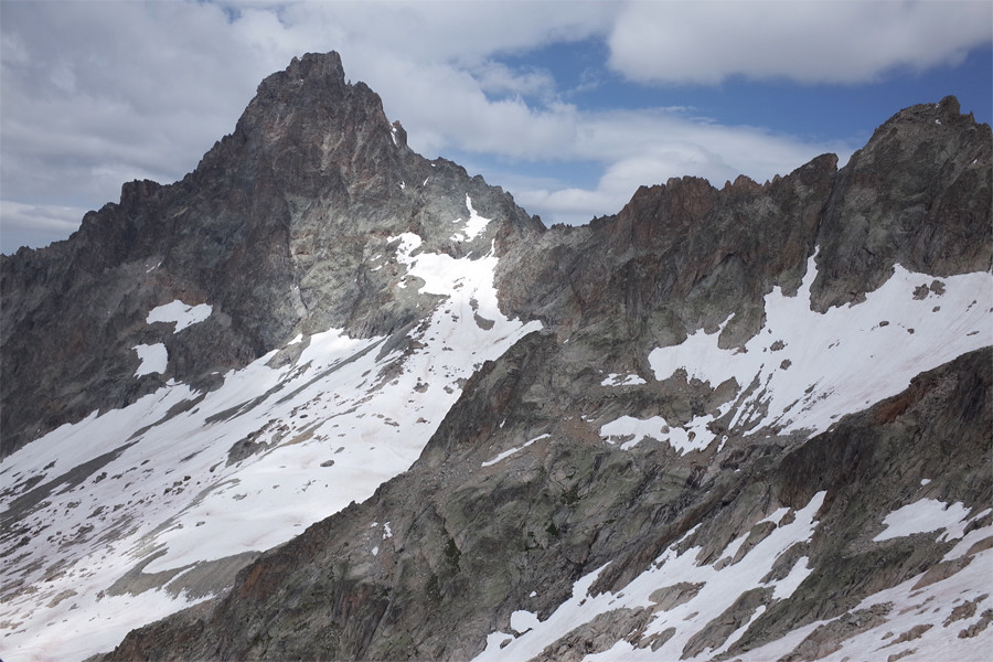
 The Ailefroide
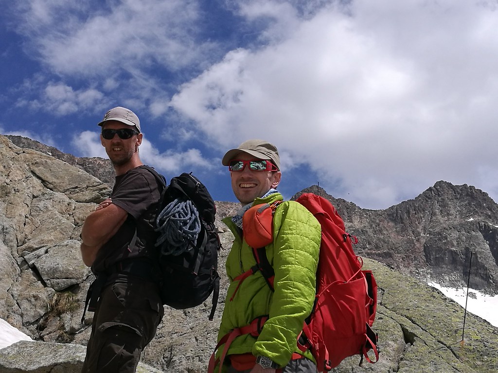
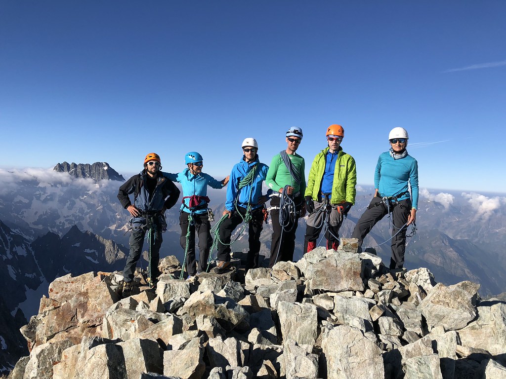 Team
TeamThe hot, tedious march of almost 12km from the summit back down to the valley in progressively more scorching temperatures would do nothing to lift my mood. The heat was really brutal and there was no shade whatsoever. All in all Gioberney felt like a heck of a long slog for relatively little reward in terms of technical difficulty or excitement. Though on longer reflection in the months since I can see the sense of a guide taking a new group over this kind of route just to size us up for more interesting stuff later in the week.
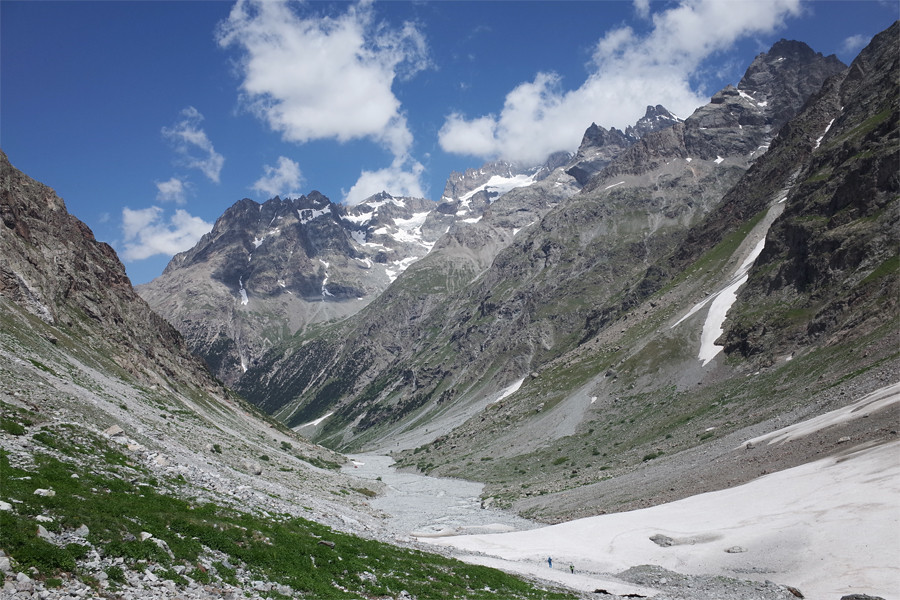
 Pilatte glacier11 July // Valley
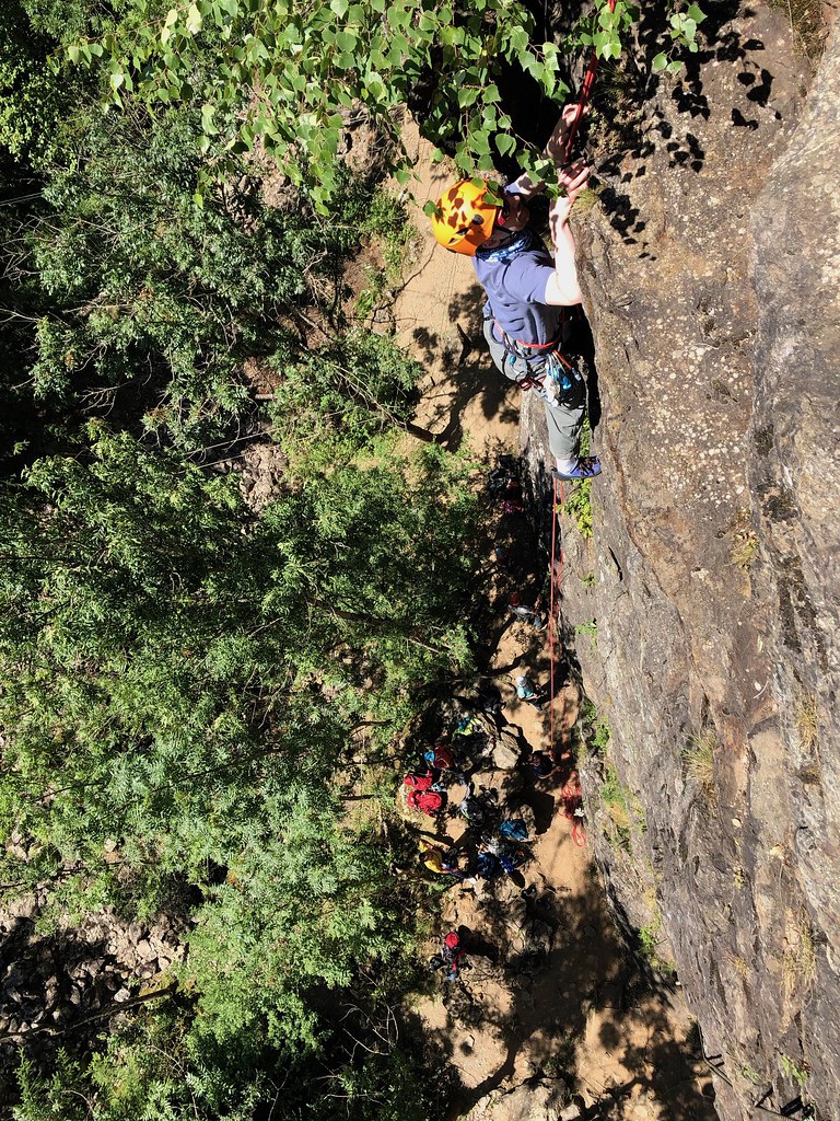
Day 4 was our valley day. There was little rest though as we spent a good few hours at a crag climbing and abseiling. In the afternoon we then went to pick up supplies for our next two days up high.
 Riverman on his rest day
Unbeknownst to me and Lucian, a fellow CAB member from our group last year on the Monte Rosa - Paul Hegge - spent 11 July 2018 descending from camp 2 via House’s Chimney on K2 back to his base camp. He would later go on to be the first Belgian to summit K2 on 20 July, Belgium's national day. Quite an amazing achievement for Paul and his third 8000er!
12 July // 10km // 1200mDay 5 saw me in a better mood for our hike up to the Soreiller hut (2730m), which is nestled beneath the famous, cathedral-like Aiguille du Dibona. Approaching the hut we were distracted for a while by a rescue helicopter that appeared to be plucking a few climbers off one of the ridges adjacent to the Dibona. We later learned that a group of climbers had spent a cold night cragfast on the ridge after losing their way in the dark at the end of the day. From the chat in the refuge it sounds as if they had set out quite late the previous day and might not have got into such difficulties with an earlier start.
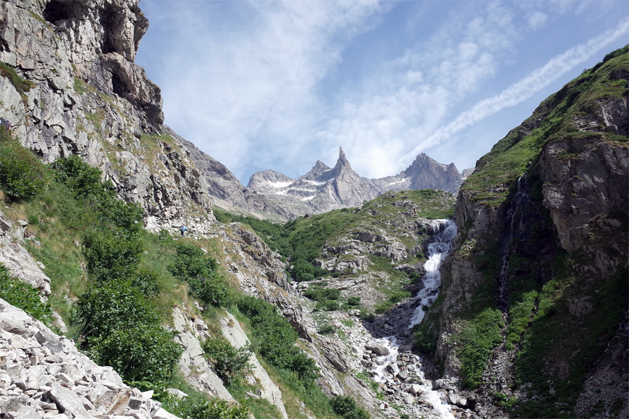 Dibona
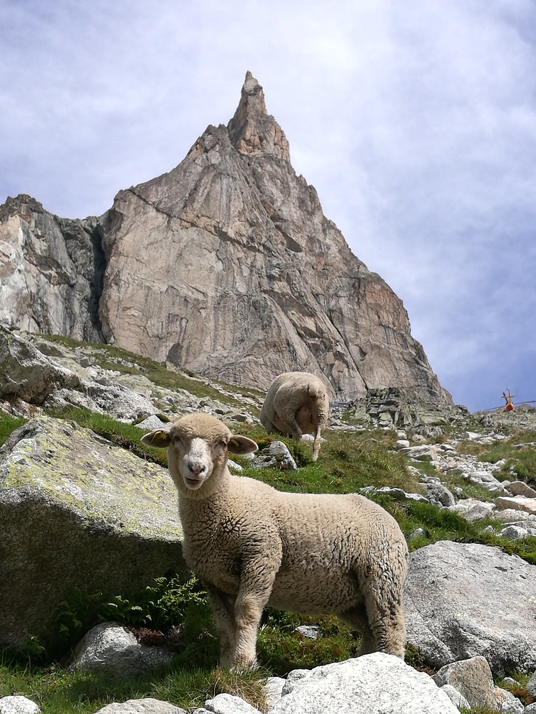 Are we really going to climb that?
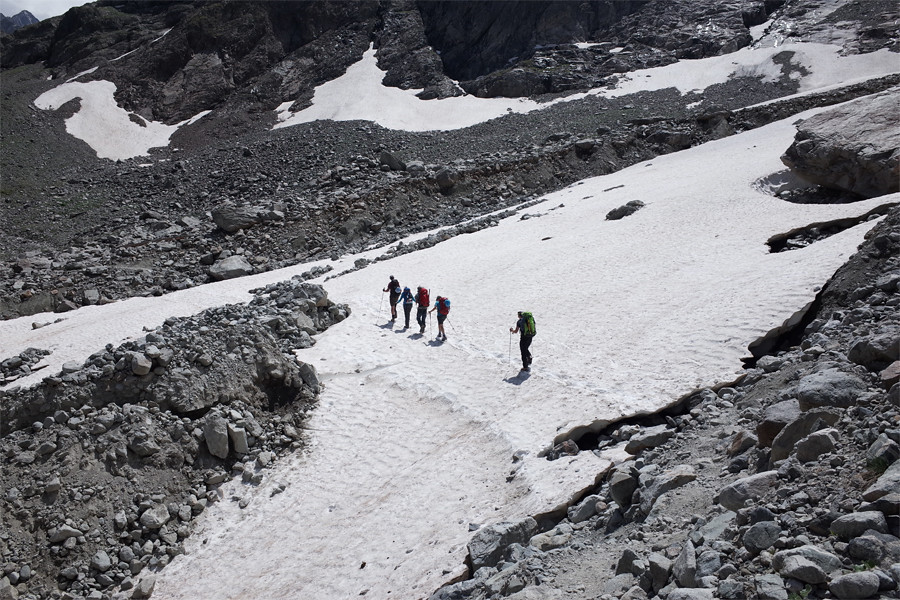
Later in the afternoon we went up a couple of hundred metres above the hut to practice our crevasse rescue drills. They would not be needed on any of the terrain that we would face over the next couple of days but at least once a year it’s crucial to practice this stuff.
13 July // 2.5km // 570m // Aiguille Occidentale du Soreiller (PD)Another early start saw us on the move by 5.30am. Today we would traverse the Aiguille Occidentale du Soreiller (3280m). Graded at PD, the route was certainly more exciting than the long way up Gioberney earlier in the week. If I recall correctly we were two ropes (one of four, including Quentin, and the other of three). Not the easiest ground to move over with this many on a rope and the passage of down climbing from the top was quite tricky. At one point on the descent Colette slipped and hurt the side of her chest. Nothing serious but sadly it would prevent her from joining us the next day up to the Dibona itself.
 On the Aiguille Occidentale du Soreiller
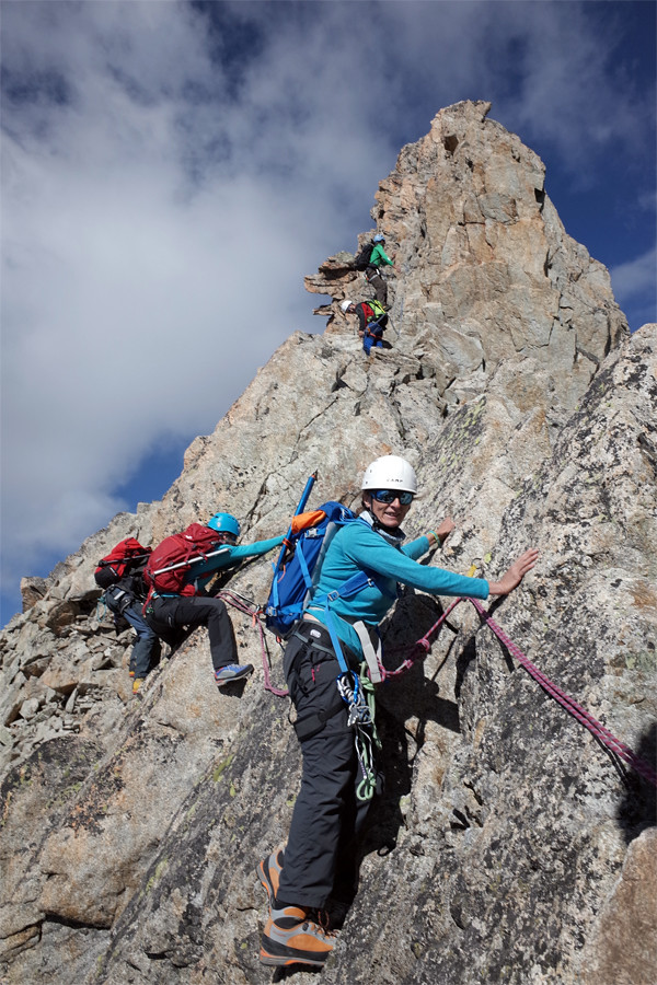 Descent
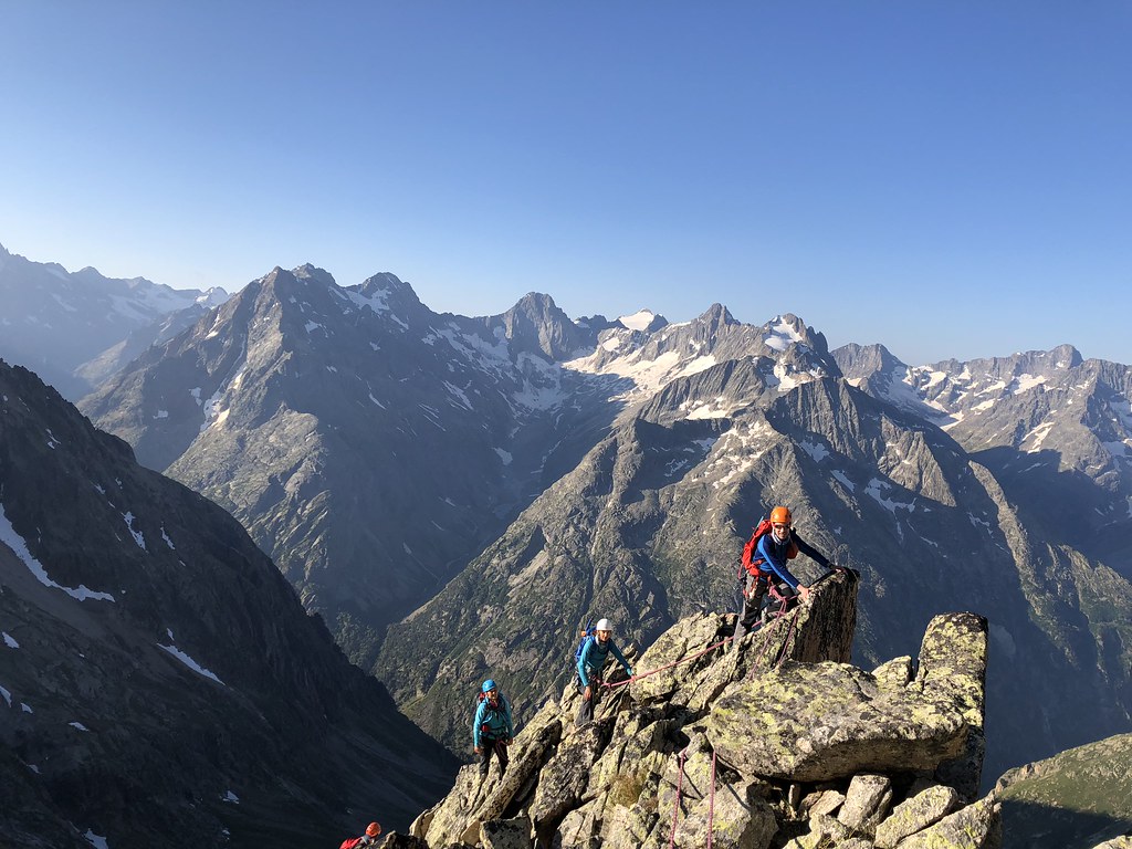 On the ridge
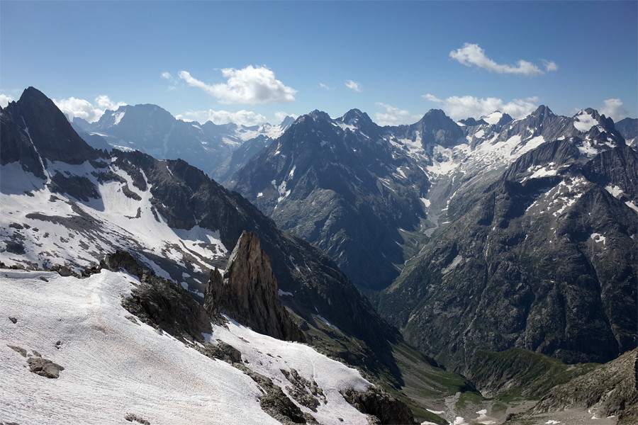 Veneon
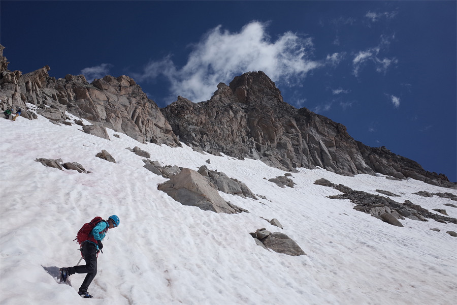 Descent
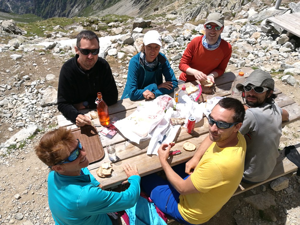 Lunchtime back at the hut!14 July // 12km // 412m // Blanche Neige (AD) & Aiguille du Dibona (PD)
Everything came together on our final day, with an exciting climb of the normal route of the Dibona. Only graded PD the spire is deceptive as when viewed from the south it looks unclimbable. But the normal route is not technically difficult. It is, however, enormously exposed. I have a pretty good taste for exposure but this was something else. Approaching the summit I really had the sensation that I was climbing a chimney stack. Rather than any fear of falling, the sensation in my stomach was faint dread that the mountain itself might collapse or give way underneath me. Unreal!
 With Jacques
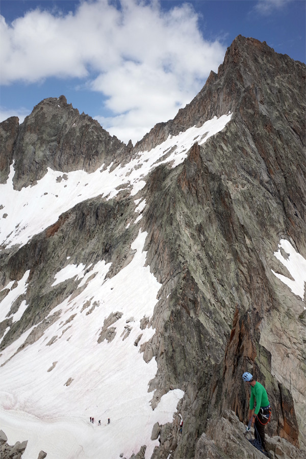 A little bit steep
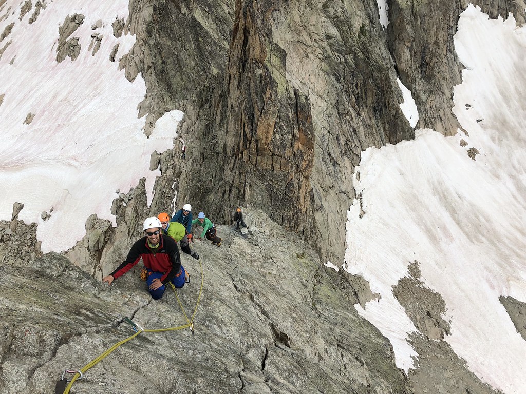 Approaching the summit
We had added interest to the start of our day by accessing the normal route via a slightly harder multi-pitch rock climb (Blanche Neige - AD) rather than the usual walking route. All in all it was a great week and a good, rocky, contrast to the ice and snow of the Monte Rosa the previous year. My near term goal in the Alps remains the south ridge of the Dent Blanche. I need to get a few more routes at PD+ / AD under my belt and generally improve my rock climbing (including as a leader) before I can seriously entertain a climb like that but my preparation is underway and as winter approaches, thoughts inevitably turn to Scottish snow and ice.
 Aiguille central du Soreiller
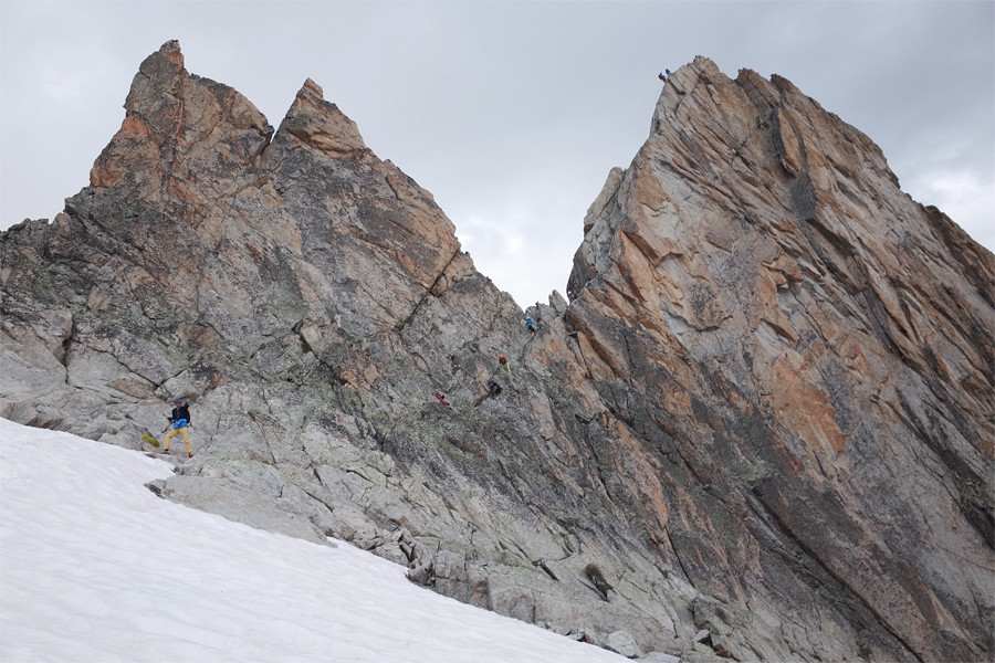 Dibona voie normale
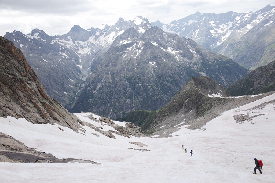 Back down to earth
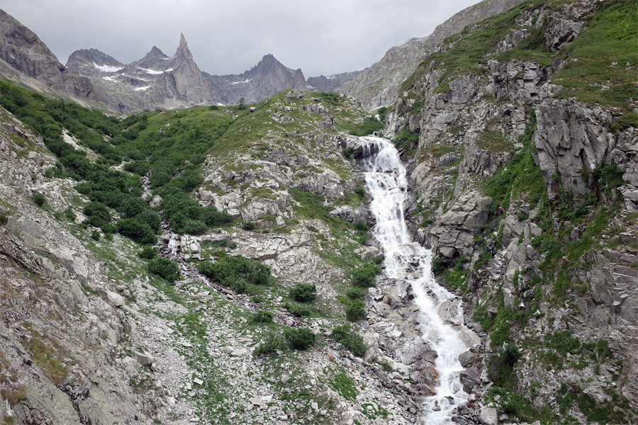 Dibona before the rain