free to be able to rate and comment on reports (as well as access 1:25000 mapping).
During the last few weeks I've done plenty of walking although I haven't been on a high fell since the 23rd October when Chris and I climbed up Carrock Fell and adjacent Birkett's so today was the day that I reminded my legs that there were some larger fells and steeper paths in the LD.
Today I've decided to pay another visit to one of my favourite fells, one that I haven't been on for a few months and that would be, Beda Fell, but instead of starting from Martindale as per usual and dropping off by the Heck Crag screes - if not also fitting in the High Raise to Wether Hill ridge - I was going to start from the small roadside parking area - NY394 160 - at the end of the lane leading to Side Farm and follow the route up to Boredale Hause.
After quite a few days of cloudy and mild weather - sometimes with rain - today dawned cold, frosty, and sunny but with a temperature of minus 2°c and as I drove along to Patterdale my spirits grew in anticipation of a good days walking in the cold of a bright winters day. The roads were quiet and I made good time on my journey to Patterdale feeling sure that as it was a Tuesday and I was quite early that there would be plenty of room on the small car park but, as I got nearer I saw quite a few early walkers and that didn't bode too well on my selected place of parking. Sure enough as I drew alongside the end of the Side Farm track the car park looked to be fully occupied and as I was just going to drive on to the next one at the pub I spotted one space available opposite the walker's chalet's fire door with the sign asking not to block the doorway. As there was room to get in and the chalet was closed for business I pulled in to the last vacant spot.
I soon had my boots and goose down coat on and having thrown the bag on my back set off on this beautiful and frosty morning to arrive at Side Farm after dodging the numerous patches of frozen ice that marked where the puddles of water was on a warmer day. It was here that I took my first photo of the day whilst standing in the shadow of Place Fell whilst the opposite fells basked in bright sunlight.
 Birkhouse Moor - Sheffield Pike and Glenridding Dodd
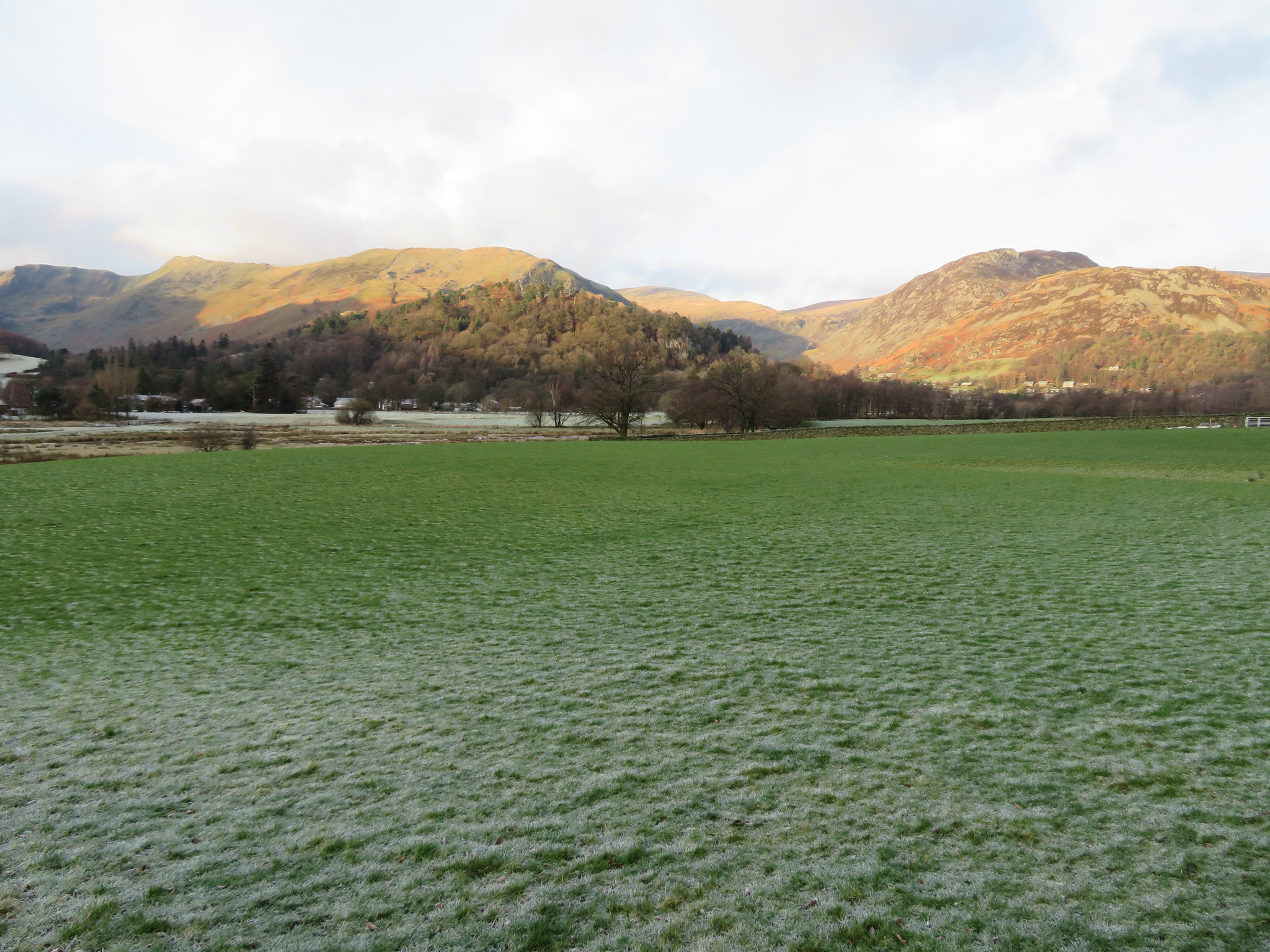
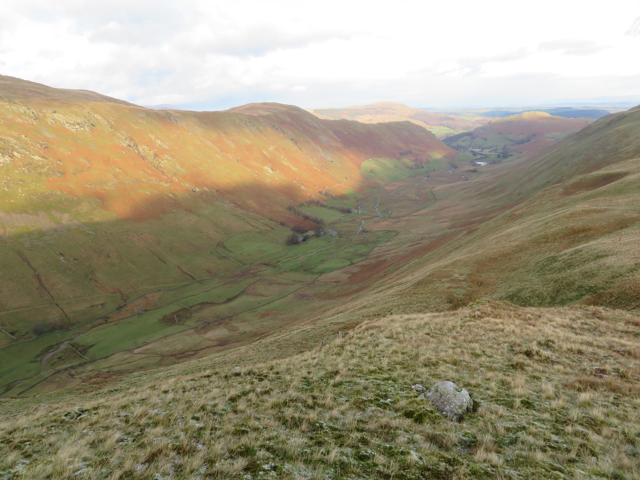
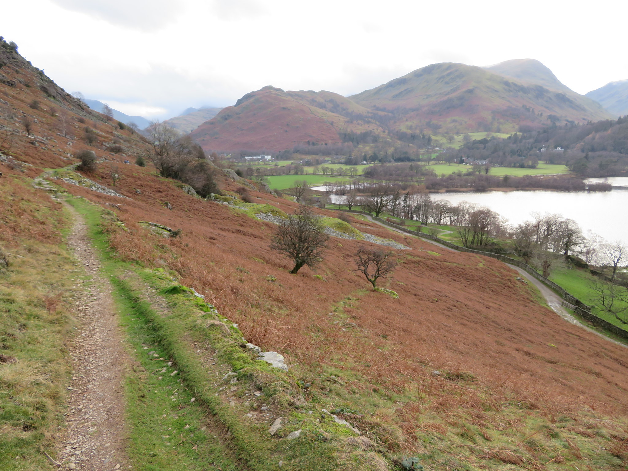
 A short walk southeast along the good track brought me to the two gates that allow access onto the start of the path that climbs in the same direction to the spoke wheel of paths that is at Boredale Hause. The path is well graded and is currently undergoing a makeover with quite a lot of new sections of pitched stone paving in the lower reaches. It was a glorious day with the sun dodging the banks of cloud as best it could and as I crossed Rooking Gill I couldn't help but stop to take a photo of the frost covered pastures of Patterdale as they ran on into the mouth of Deepdale, a most satisfying view indeed.
 From Patterdale to Deepdale view from above Rooking
 A few minutes later and some 250 feet - 75 metres - higher from a section of the newly laid path a look backwards gave me another view of Patterdale with Glenridding nestled between Birkhouse Moor and Glenridding Dodd.
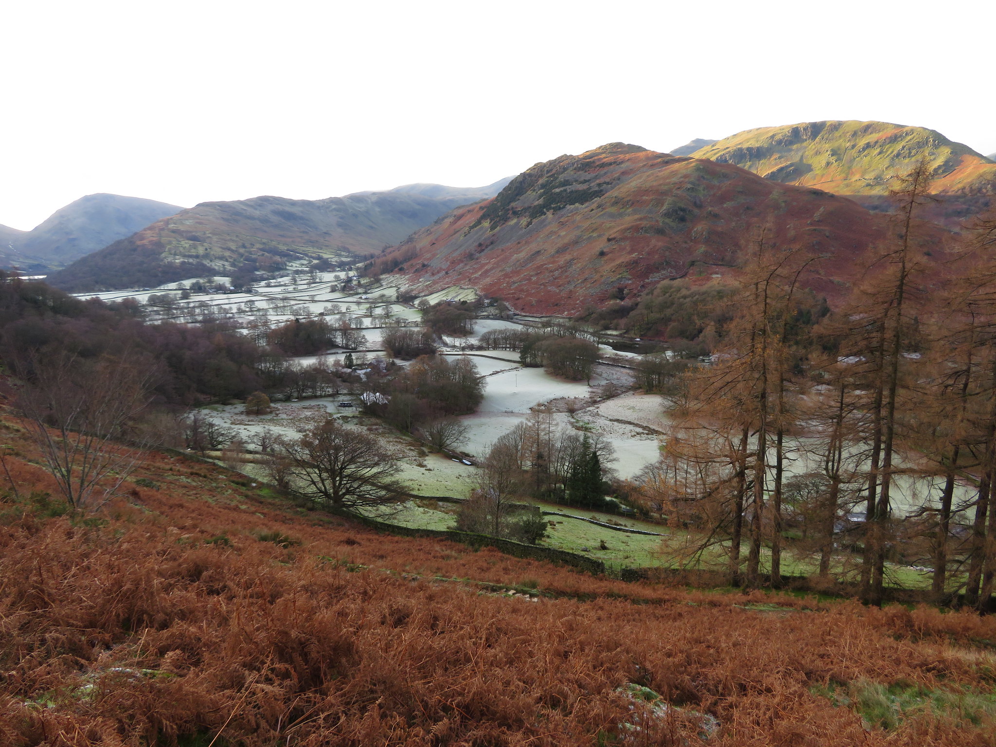
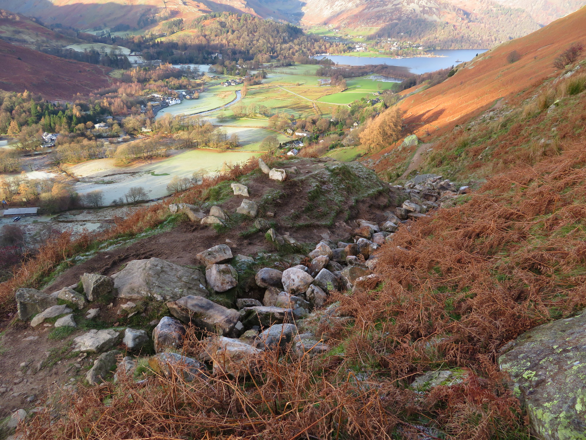
 And the other way to Glenridding
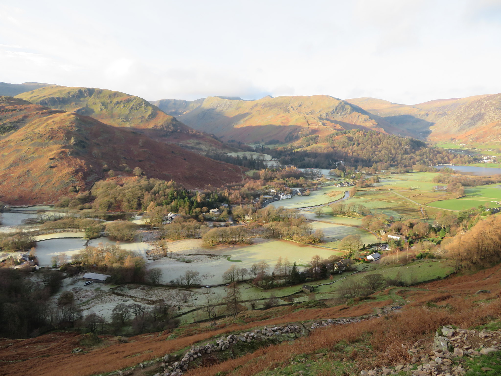 A view northwest across Patterdale
 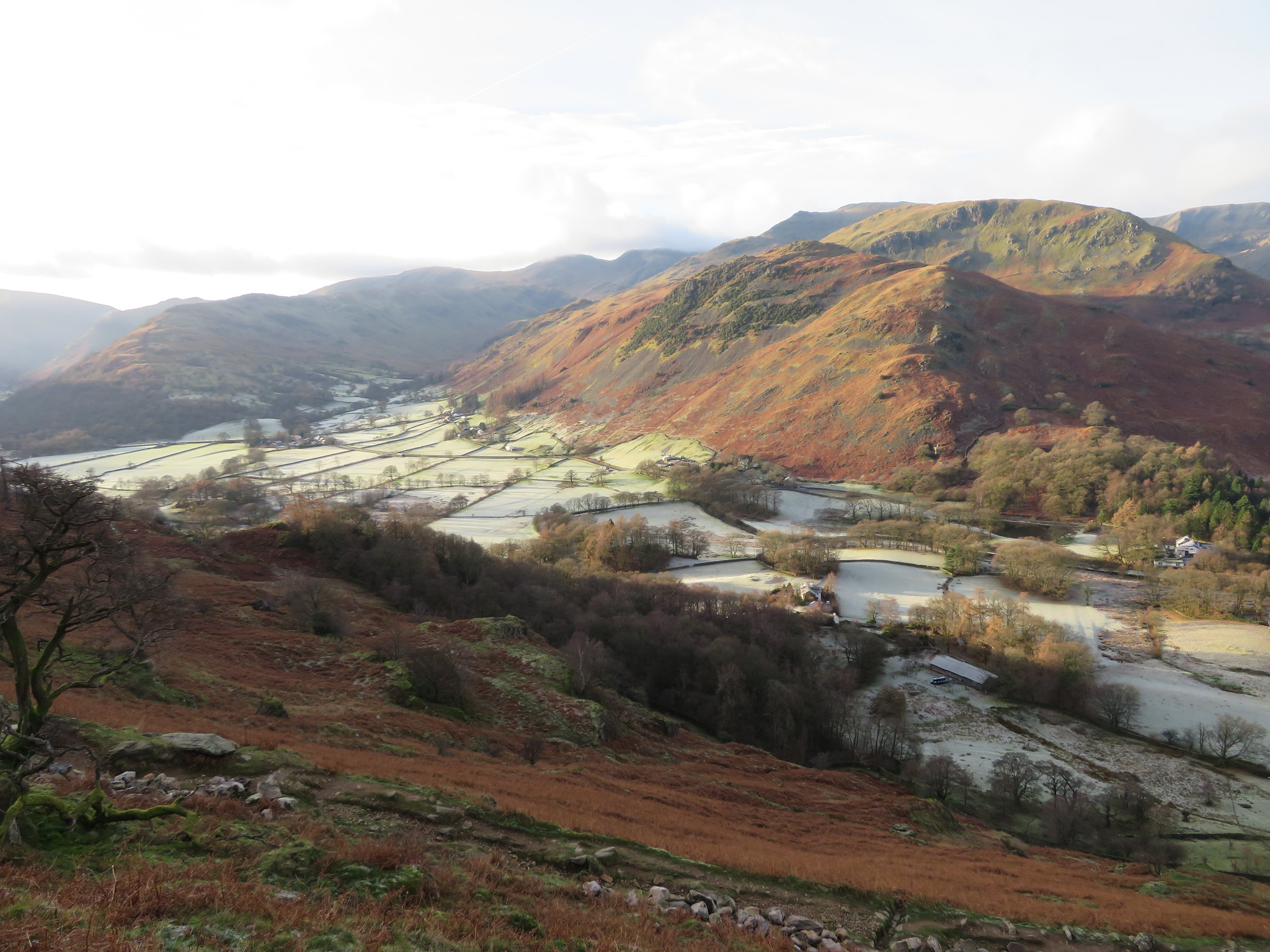 A view towards Deepdale - Arnison Crag - Birks - Hartsop above How
 The fells looked so beautiful, sunlit and cloaked in the brown of the dead bracken alternating between the black and grey of the rocks, the varying shades of green of the clumps of stunted juniper and scattered pine trees all in contrast to the white of the deeply frosted valley floor.
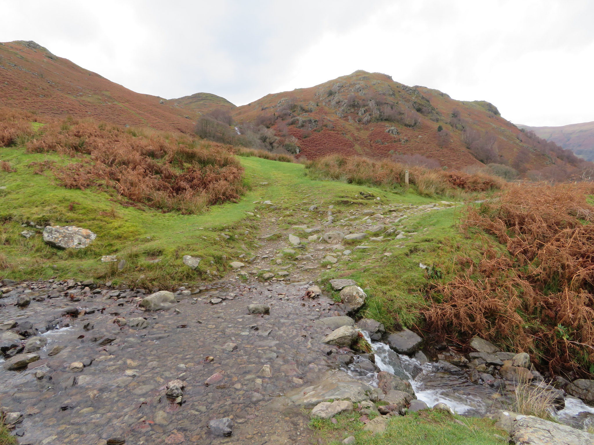
Another few metres of climbing brought me to the section of path that is the next to be repaired and looking at the rain damaged path can see why pitched stone is being used on the steeper paths such as this one that over many years of many thousands of boots wearing it away has made this path into a natural drainage channel for rainwater that easily erodes the already softened material.
 Path repair work on the way to Boredale Hause
 As was Wainwright I'm not a great fan of pitched stone 'stairs' as I find them more tedious than just walking along the paths although I must concede that they are a necessity in many cases and are more durable than compacted stone granules on the steeper slopes.
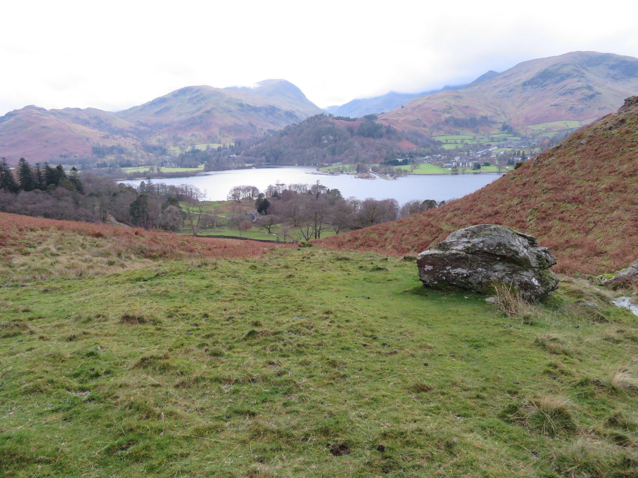
A few minutes later and I was at the parting of the ways at Boredale Hause from where there are clear paths to various points of the compass and places. North towards Place Fell…
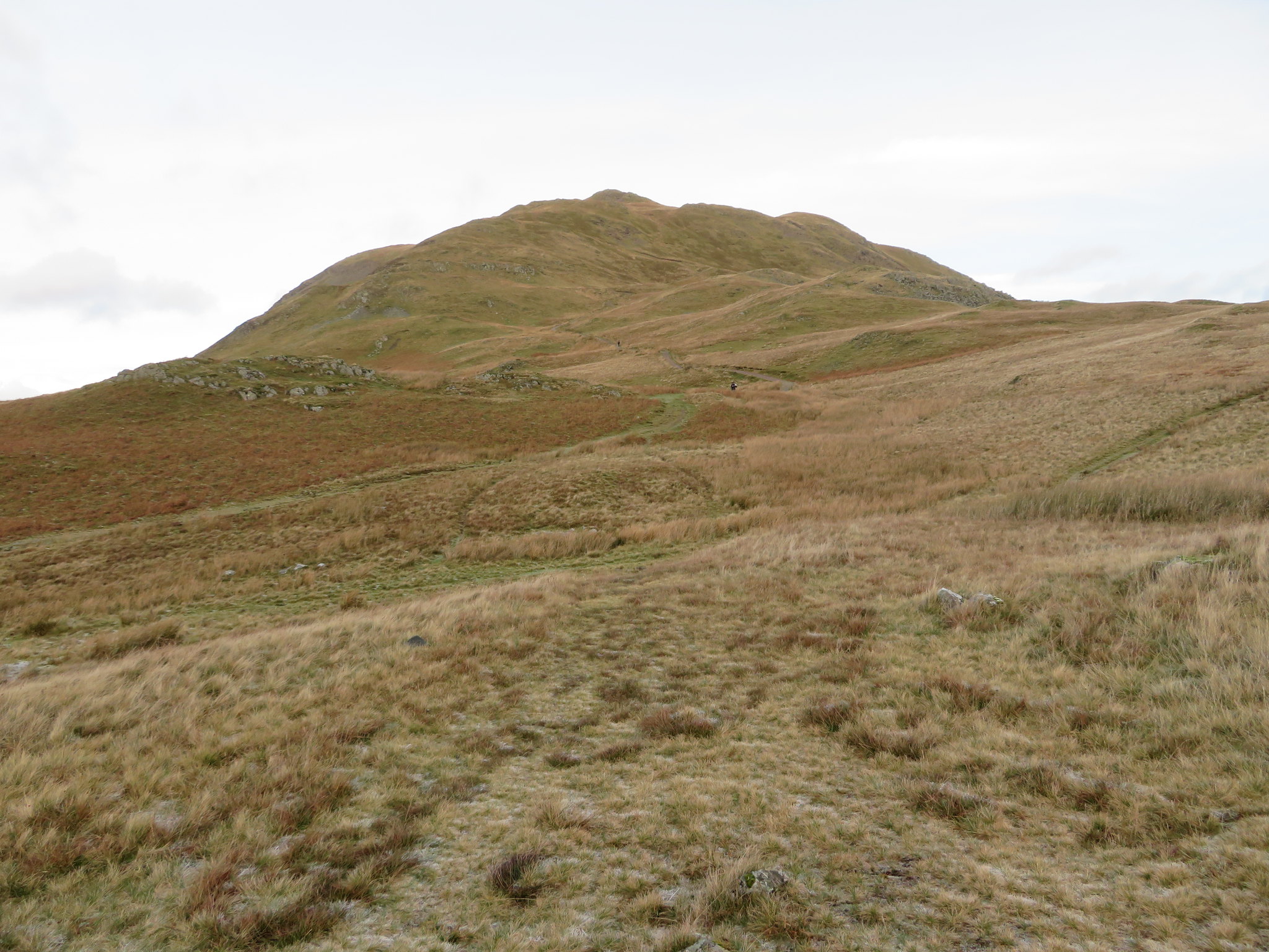 Place Fell from Boredale Hause
 northeast to walk along Boredale, south where one of the two paths will take you down to Hartsop or the other one will take you to Angle Tarn and eventually High Street with plenty of fells to bag on the way if on a mission to do so. Myself, I'm taking the path to the east that will put me on the path that runs across the top of Hause Crag and then crossing Freeze Beck as I make my way to Bedafell Knott.
As I passed over Hause Crag I caught a glimpse of Boredale way below to the north…
 A glimpse into Boredale from above Hause Crag
 and then another more lengthened view from Freeze Beck.
 Another look at Boredale from near Freeze Beck
 The sun was still shining, shining everywhere apart from where I was and it's minus more than the two that was registered at the car park. I'm warm as toast, maybe too warm, but I was loath to shed a layer as there was a cold breeze blowing and looking south and to the west I could see clouds starting to roll in and just covering the top of the Helvellyns.
The ground was hard as iron, deep frozen with patches of ice beneath the grass making it difficult at times to see just what I was standing on.
 Frozen ground on the way to Bedafell Knott
 Nevertheless this is an easy way to get onto Beda Fell instead of going straight on from the Hause towards Angletarn Pikes where the ground is higher but of no consequence and no merit is gained by taking the route from the highest point of 550 metres above Heck Cove, unless of course one wants to go that way.
I made steady but careful progress along the path and stopped above Blue Gill to take a shot of Place Fell bathed in sunlight…
 A sunlit Place Fell
and another one back over the Eastern Fells showing the cloud beating away the sun before it.
 The view back to Boredale Hause
 Despite the stops for taking photos it wasn't too long before I was at Bedafell Head from where I could see plenty of sunshine all around me though unfortunately, not on me. The outline of the Pennines is showing as a dark shadow on the far northern skyline.
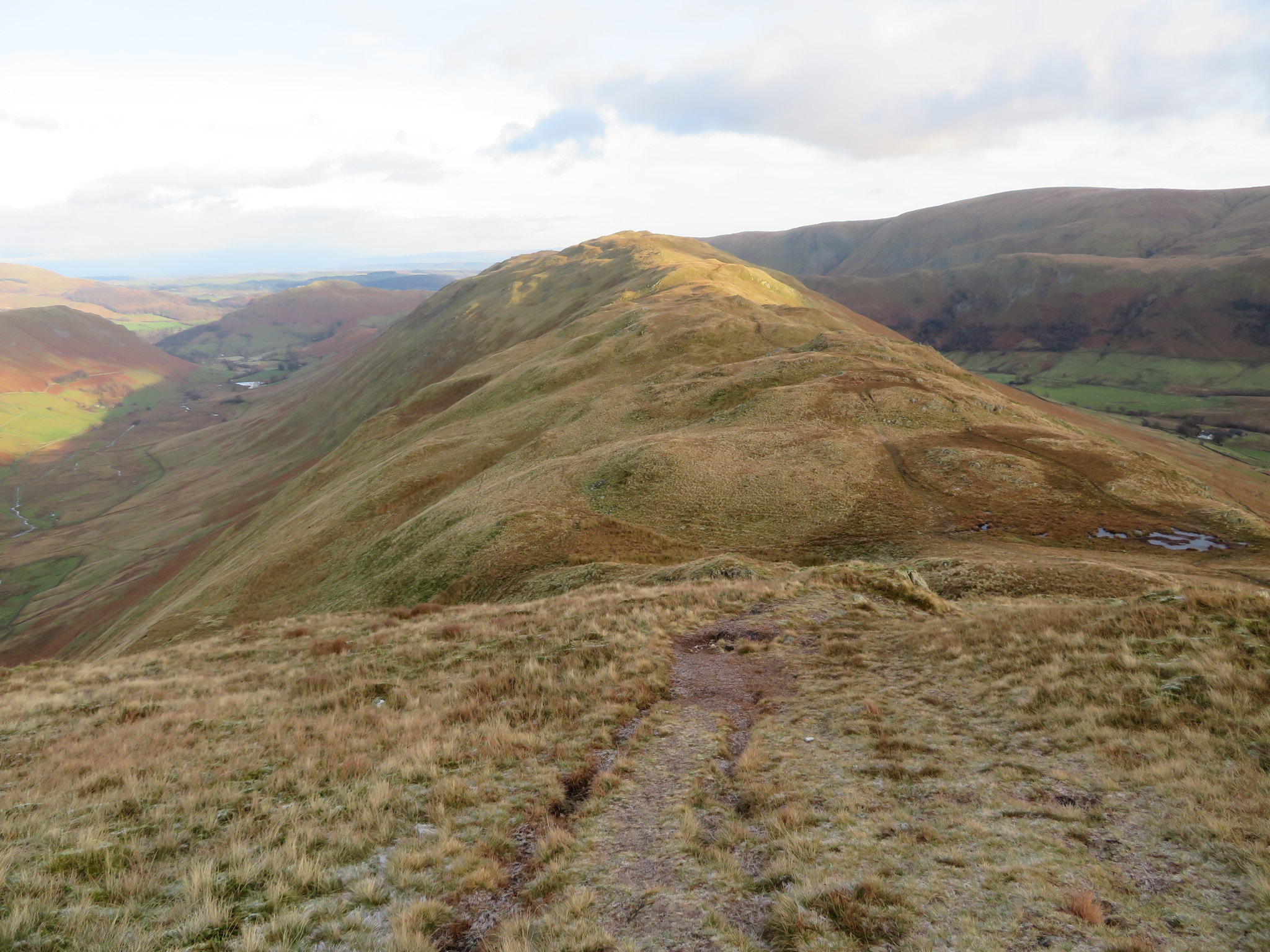
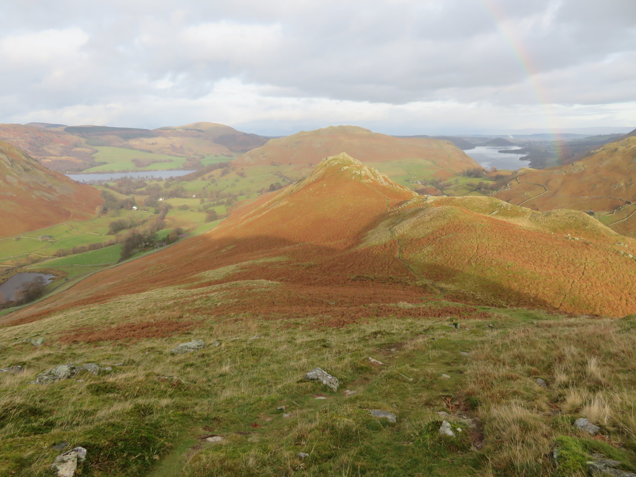
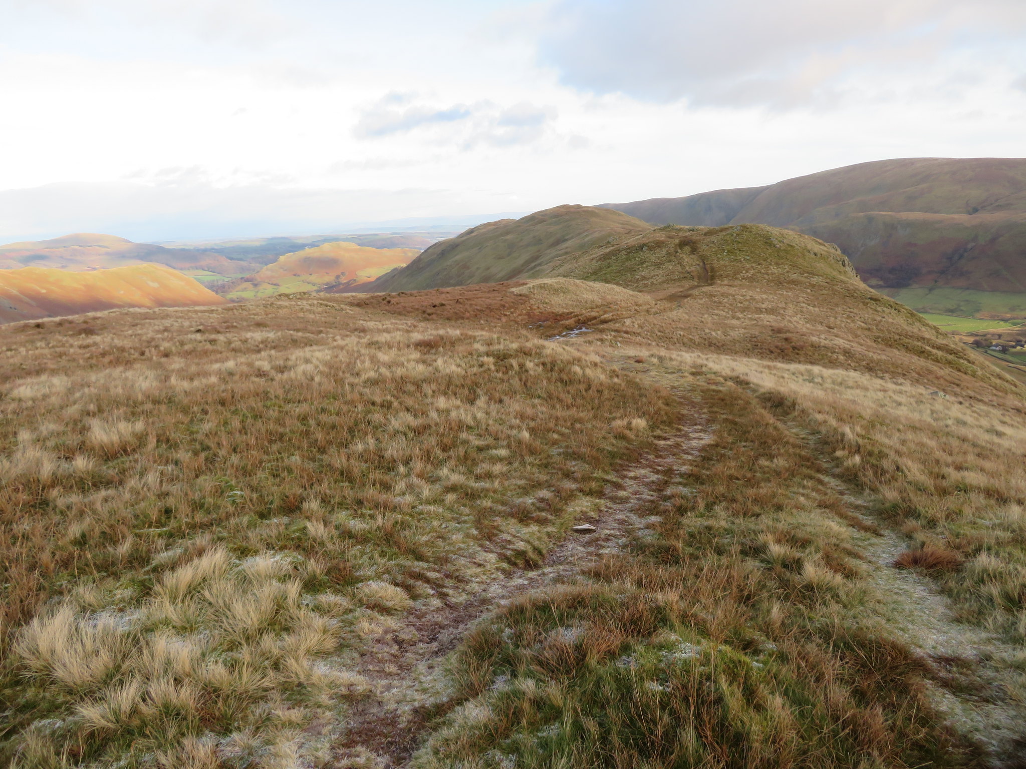 North along the Beda Fell ridge
I looked back south down the frosted slopes into Heck Cove and the head of Bannerdale with Buck Crag, the point of Satura Crag and the mass of Rest Dodd to the left. I could also see a slight haze dropping down.
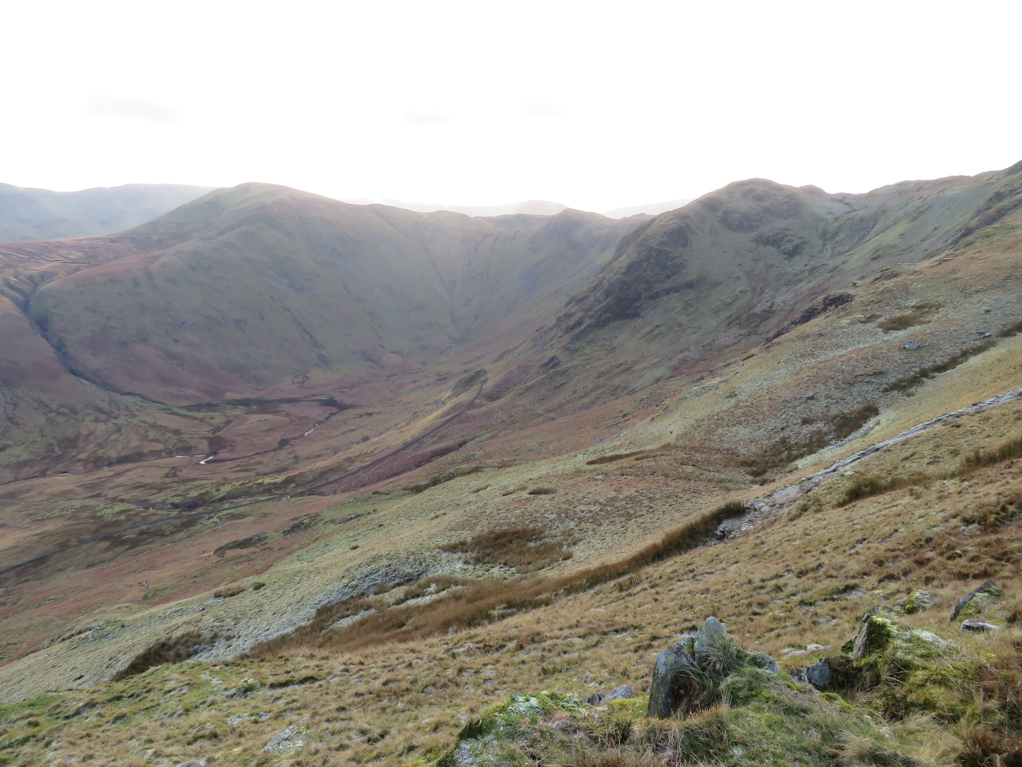 Heckbeck Cove and Rest Dodd
 Swinging around slightly I got a picture of both Rest Dodd and The Nab also in shadow apart from the shallow col between the two of them.
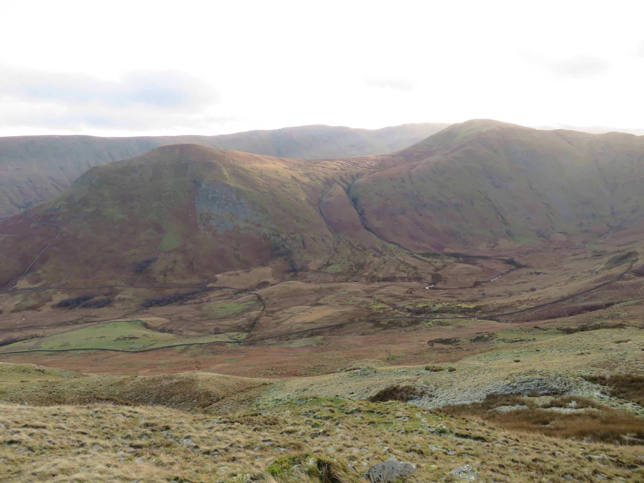 Rest Dodd-The Nab with the High Raise to Wether Hill ridge behind
Just before leaving Bedafell Knott I got a nearly full length view of Boredale…
 Boredale from Bedafell Knott
 and the Beda Fell ridge in front of me.
 Beda Fell ridge from Bedafell Knott
 Beda Fell is known for having a wet top, especially after rain as it seems to cling on to water like a sponge in its many low areas so today I was pleased that the ground was frozen solid as there was no danger of getting wet feet or having to skirt around some of the larger areas of boggy ground.
 Looking back to Bedafell Knott
 And from a little further on.
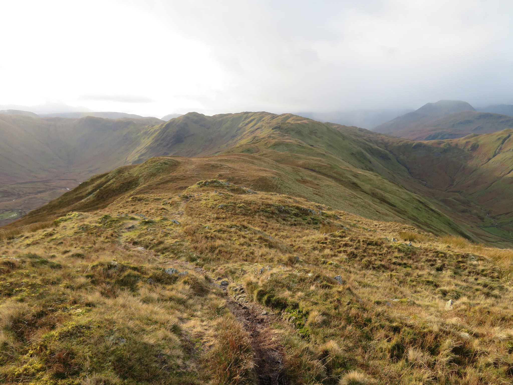 A view south along Beda Fell ridge
 It feels great to be out and about on the fells, striding out unhindered in the peace and quiet of a cold but beautiful sunlit day as this. The walking was good and easy despite the many ups and downs of this long ridge walk and not having to find a way around the usually wet areas saved time, but as I got to Beda Head the rain came sweeping in from the south. I must have been walking in a narrow corridor of inclement weather as either side of me the fells were bathed in sunshine
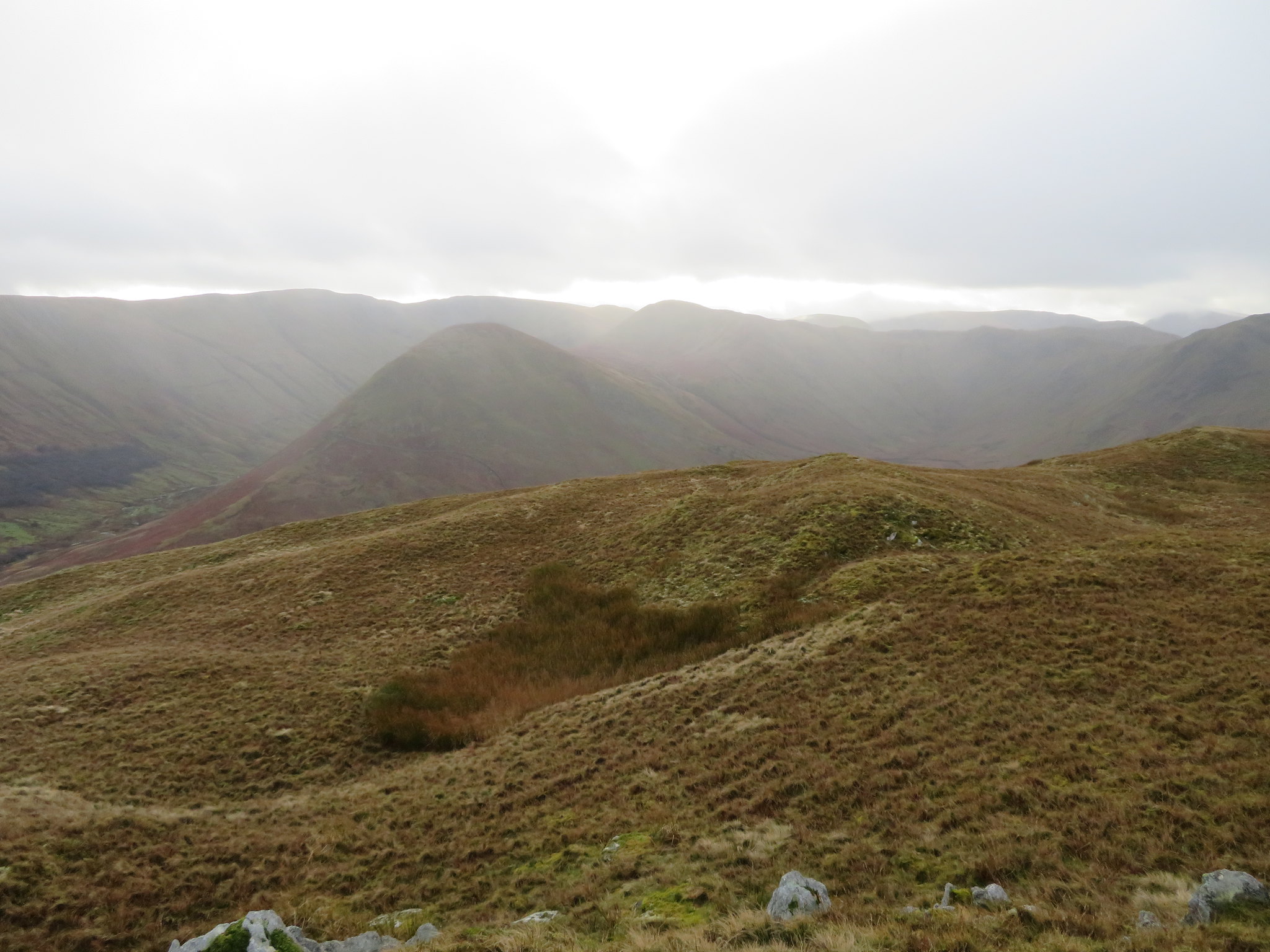 Rain sweeping in from the south
 The breeze had picked up speed slightly and the clouds were now hanging on the fell tops behind me. Rain was in the air but I was sure by the colour of the sky that this was just a passing shower and was therefore loath to stop and put on my over trousers as it's such a pain of a job to get them out of the bag and don them in a wind, unless I'm sure that it's going to be a prolonged downpour I'll leave them bagged up. This was such an occasion as after a few minutes of walking in a heavy drizzle the rain stopped with my trousers being only slightly damp at the back of the legs.
As the wind was blowing from the south I managed to get a shot looking north from Beda Head without getting the camera lens spattered with rain drops.
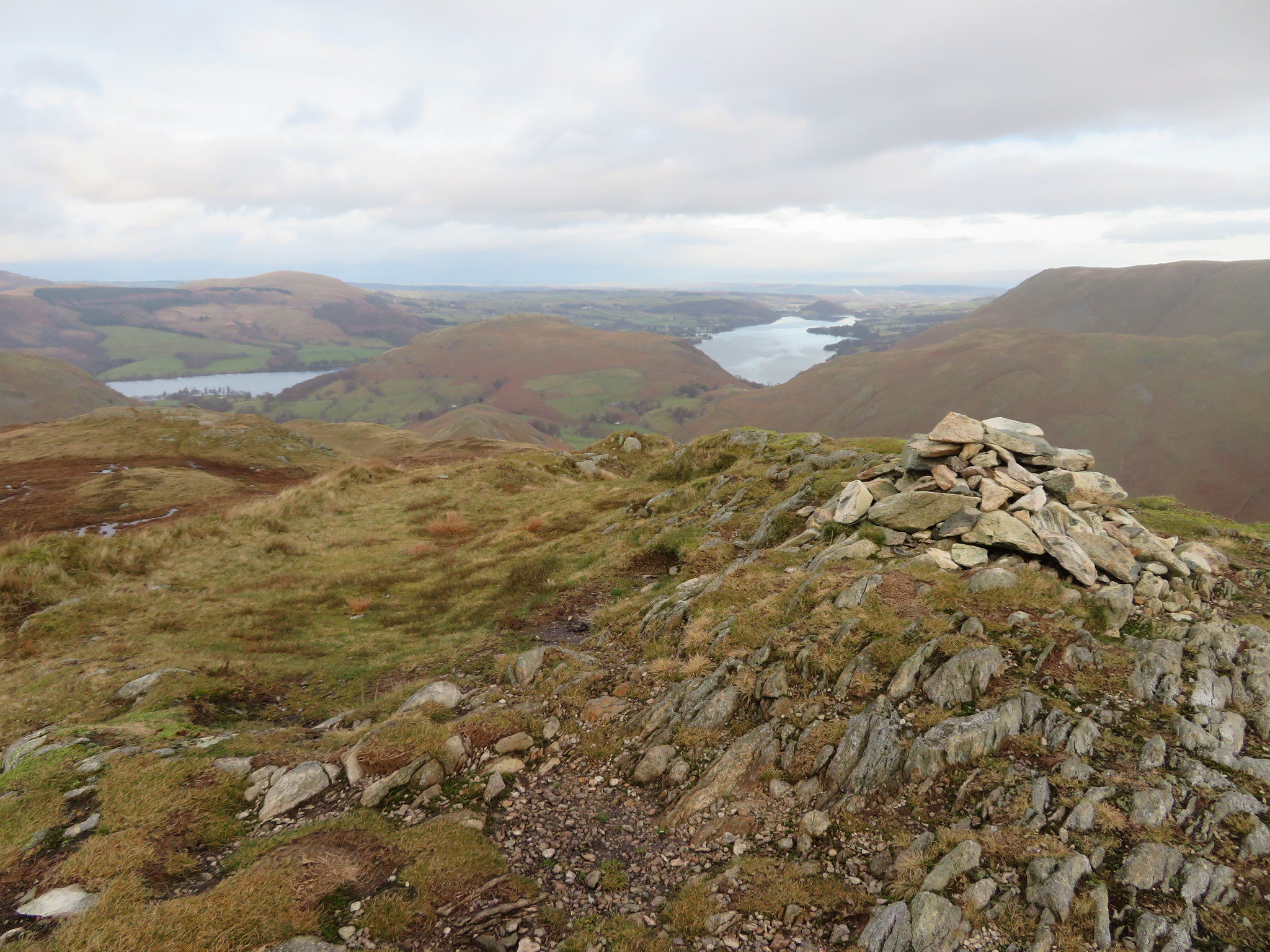 Ullswater from Beda Head
 And northeast there is…
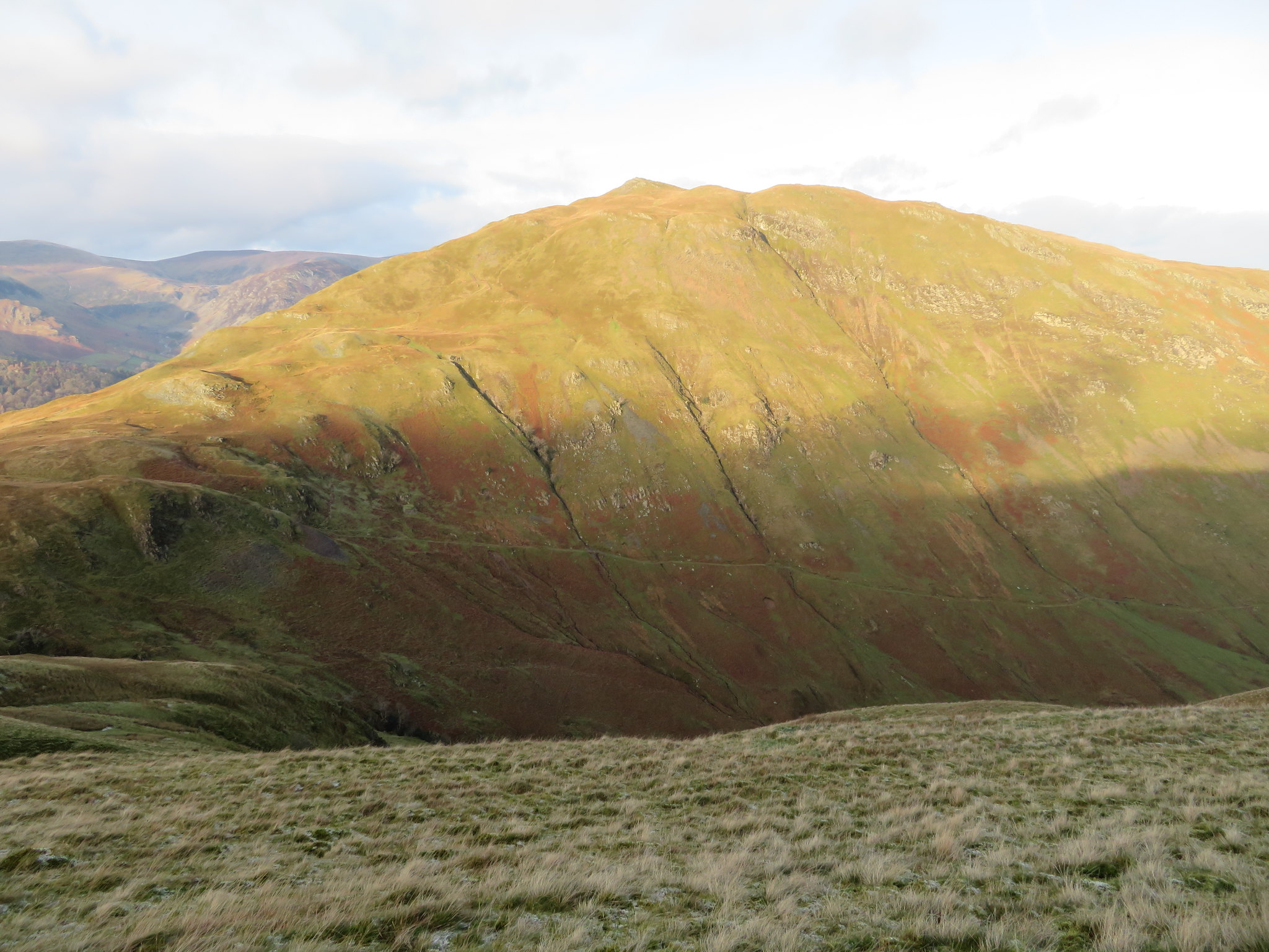
 Steel Knotts aka Pikeawassa with Loadpot Hill to Bonscale Pike ridge behind
 Continuing on, Winter Crag and Hallin Fell became a lot clearer with Martindale and Boredale showing on either side…
 Hallin Fell from Allen Crag
 and soon Winter Crag at the north end of the ridge was within a few more minutes walk, a place where I shall take my first break whilst sitting on the old iron bench beneath the north slopes of the crag. Another short rain shower combined with the sun produced a rainbow.
 Winter Crag and rainbow
 I arrived at Howstead Brow from where I could see Bonscale Pike.
 A view from Howstead Brow
 It's still fairly clear to the north although the view of the Pennines has not improved any with the low cloud now covering their tops but as I walk on I'm slowly approaching an area of sunshine and I just hoped that it would still be around whilst I have my break sat on the bench seat.
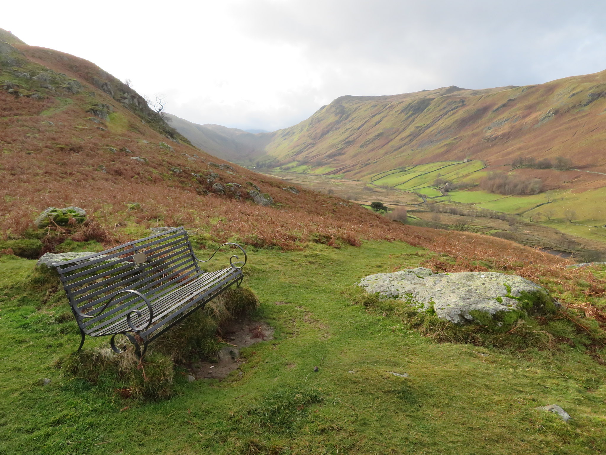
 A welcoming seat on Howsteadbrow below Winter Crag
 A few spots of rain fell as I was settling down to a cheese sandwich and a drink and despite the copious amounts of sunshine around here just now the bench remained in the shade.
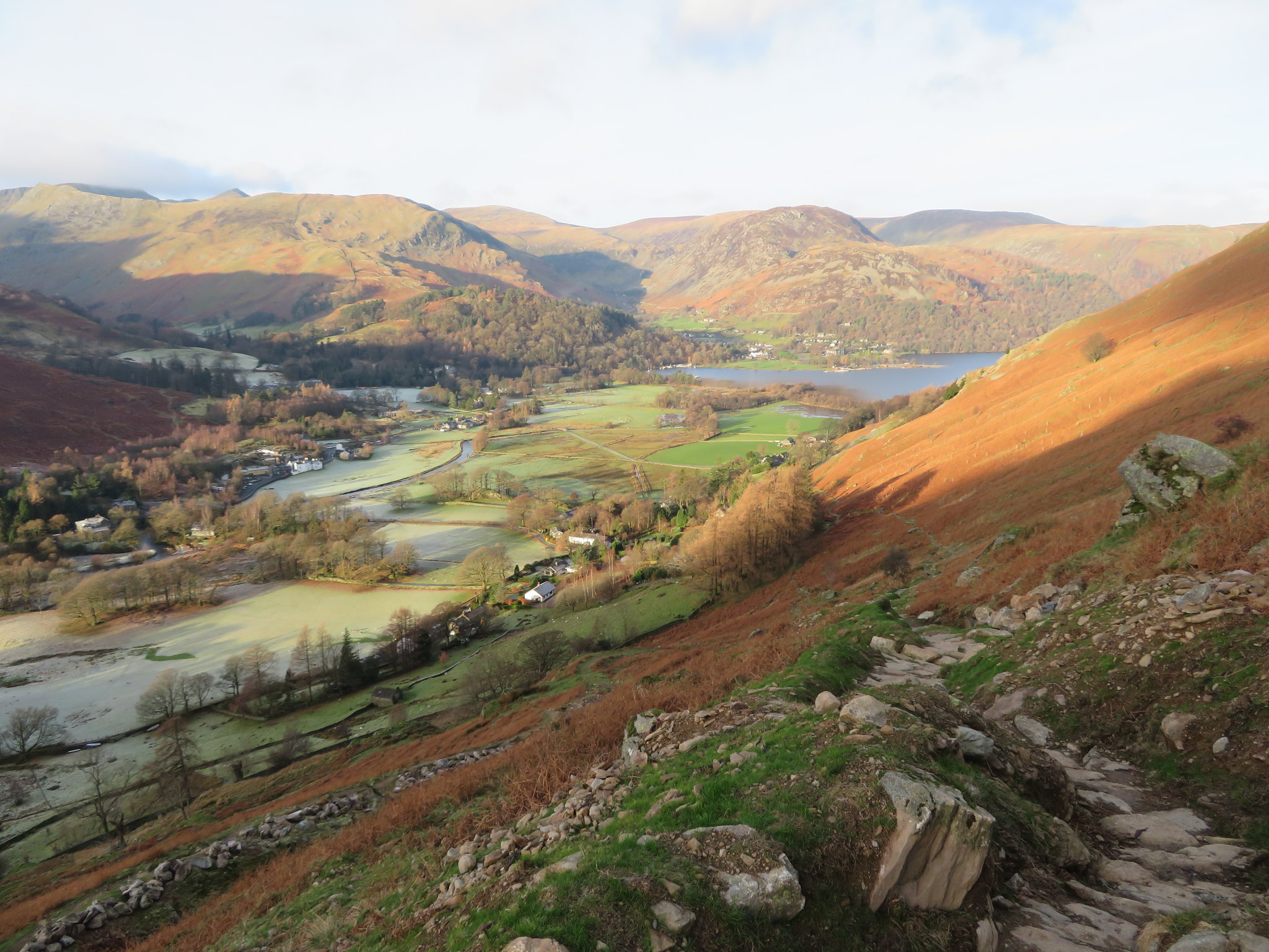
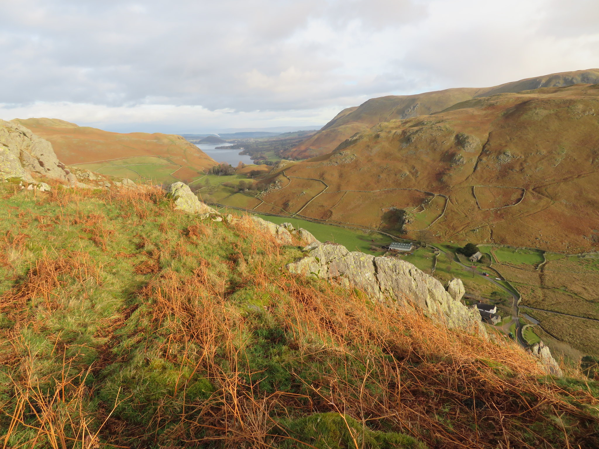
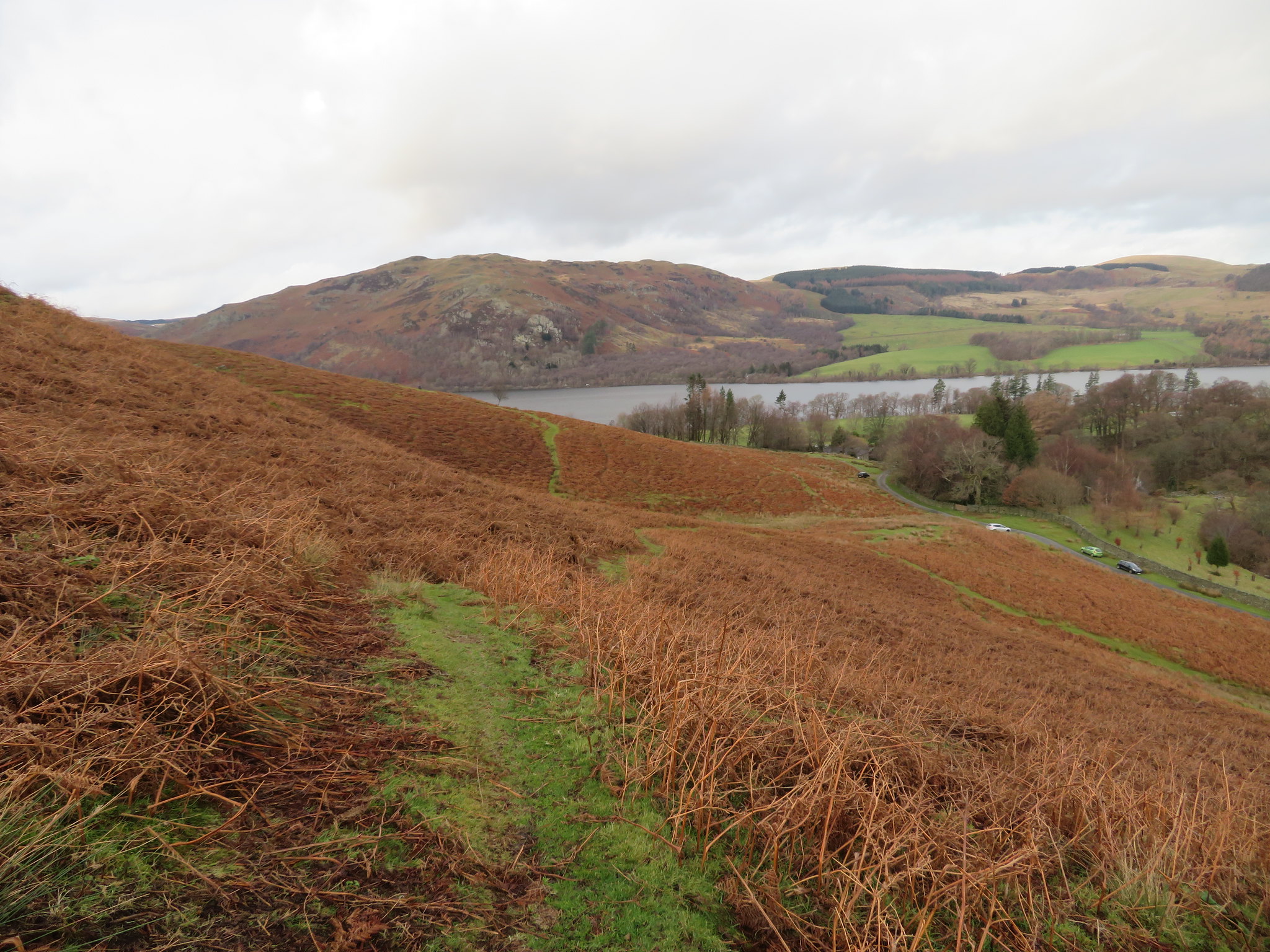
 Boredale
 Once the refueling was over I set off down the west bank towards Garth Heads and the mouth of Boredale. The way down to the track is fairly steep and can be slippery, especially on a day like today but I got down without any mishaps to arrive at Garth Head and the narrow metalled road that runs all the way along the valley bottom to the farm of Boredale Head.
The dampness of the area amongst the trees can be seen by the amount of moss on the roofs of the dwelling.
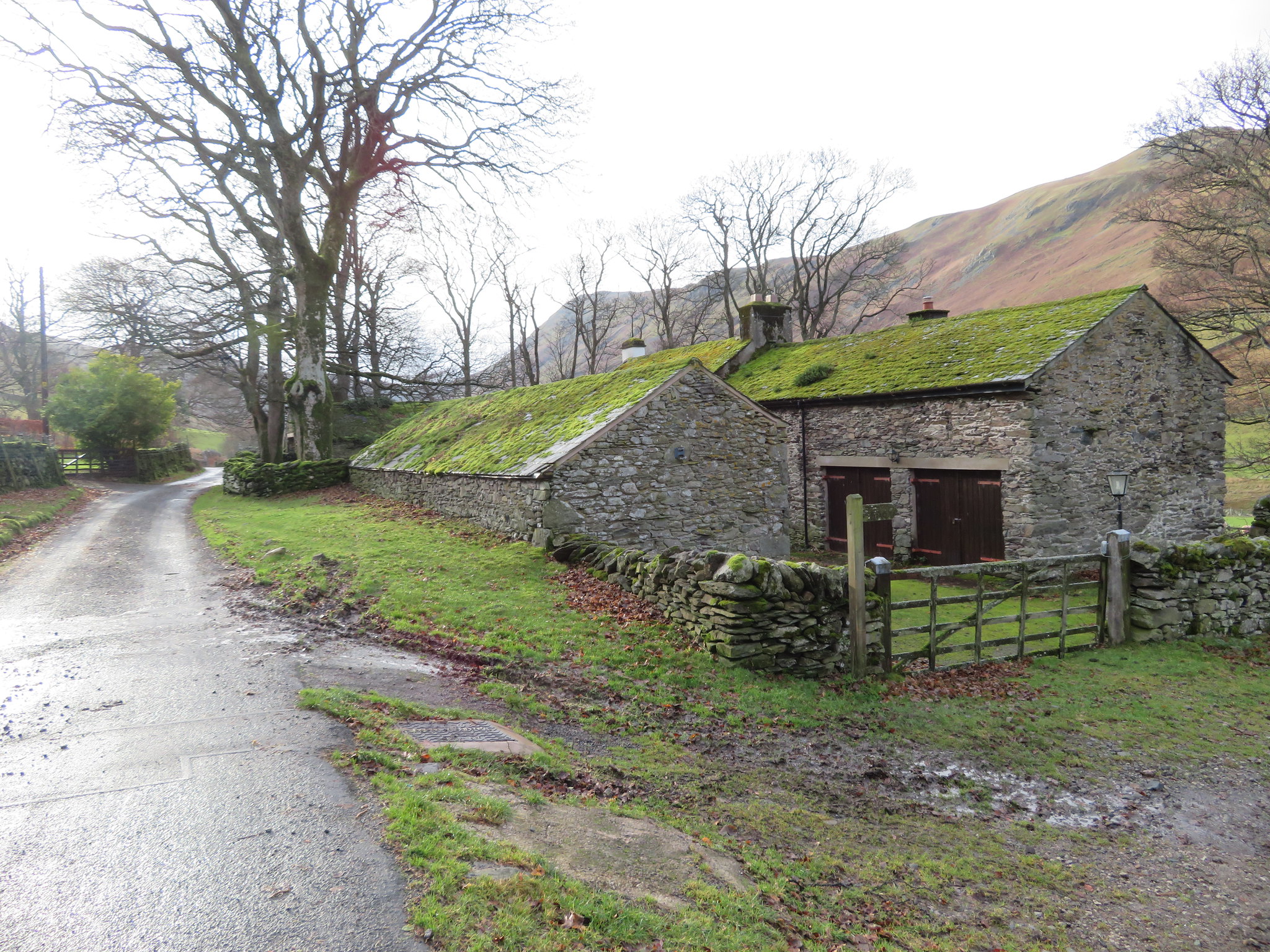 Garth Head at the mouth of Boredale
 I took the farm track that runs past the buildings to pass through a gate and then swing over to the southwest towards the clapper bridge that passes over Boredale Beck. I would like to know how long it has been there as it lies on the route between Martindale and Patterdale with paths leading off to the top of Place Fell. There was much mining and quarrying in the area so maybe it was used by the workforce as well as locals walking from one dale to another. Maybe it was once an old pack pony route?
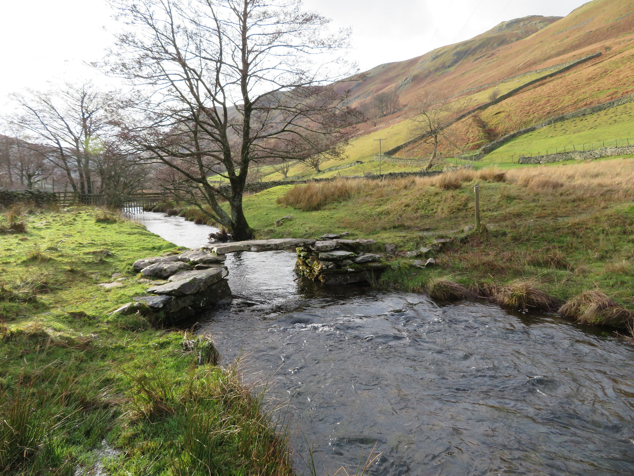 Clapper Bridge over Boredale Beck
After crossing the clapper bridge a short climb up the bank to the right leads to a double stile that allows access to the path behind the intake wall, a path that runs all the way towards Sandwick - among other places - but the way I'm going keeps me to the foot of Sleet Fell above the south shore of Ullswater. The path is good though wet in a couple of places where water runs off the fellside from underground springs.
 Gowbarrow Fell
  The view across Doe Green
 From above Sandwick I climbed a short grassy bank where there is another bench seat with a commanding view over Ullswater and where I stopped to chat with an elderly couple for a few minutes. Leaving them to make their way back to Martindale I walked on now below the slopes of Low Birk Fell to reach the point where the path is just above the shore of the lake/water and as I neared Scalehow Wood I could just about see Scalehow Force running down between High Knott and Low Birk Fell.
 Bleaberry Knott and Birk Fell
 From about this point on the path that is well made and fairly wide takes a series of climbs and descents with some of them quite long and could be quite energy sapping if not prepared for them. I've seen and been with people who have come off Place Fell and not realised just how long of a walk it is back to Patterdale, visitors deciding to do a round of Place Fell instead of returning the short way back to Patterdale.
I stopped a couple of times to take the odd photo. Ullswater was as smooth as glass around Silver Point.
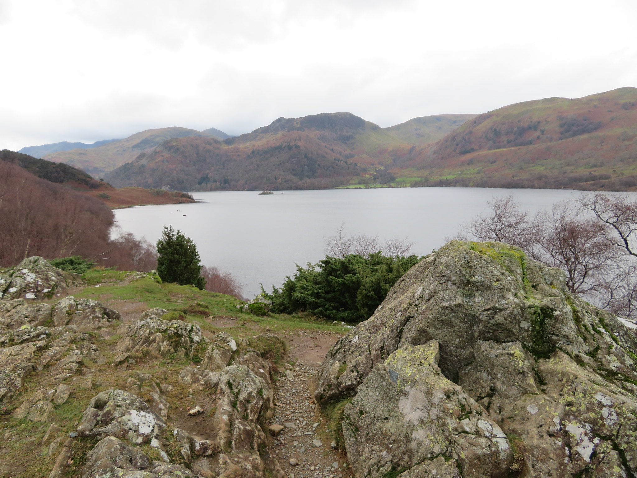 A tranquil Ullswater from below Kilbert How
 I could hear shouting and laughing as I neared Silver Bay and through the trees spotted a few canoes making their way back to shore and by the time that I had arrived just above the bay they were making their way up the fellside from the shore.
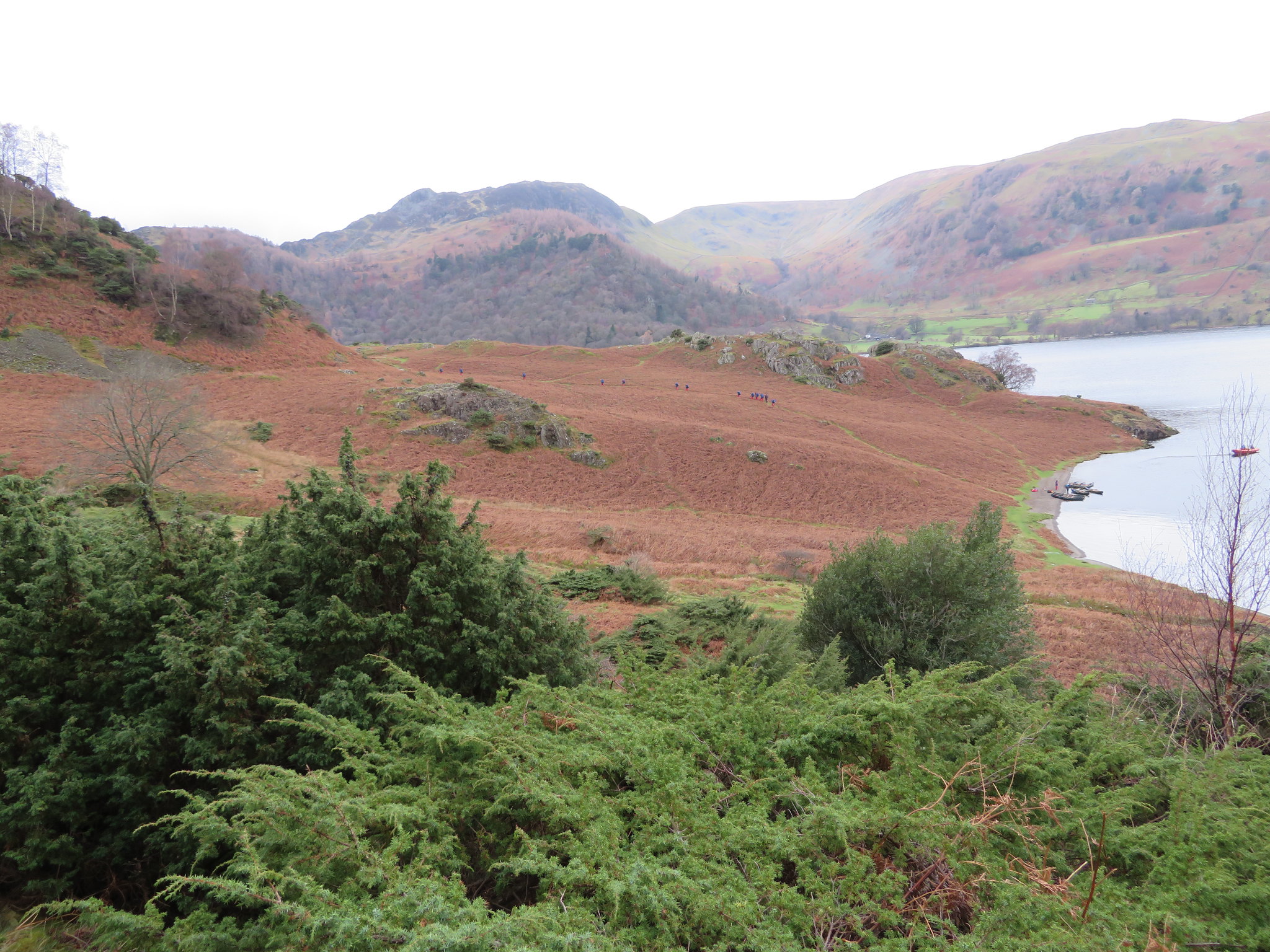 Aspiring conoeists leaving Silver Bay
 A few minutes later and I was starting the climb along the path that leaves the shoreline and cuts off behind Silver Crag. It's a much better and elevated way than walking along behind the wall with nothing to see but wall and dead bracken.
The path is initially made of pitched stone but after a short distance it has got washed out leaving a couple of high steps in the trench of a path.
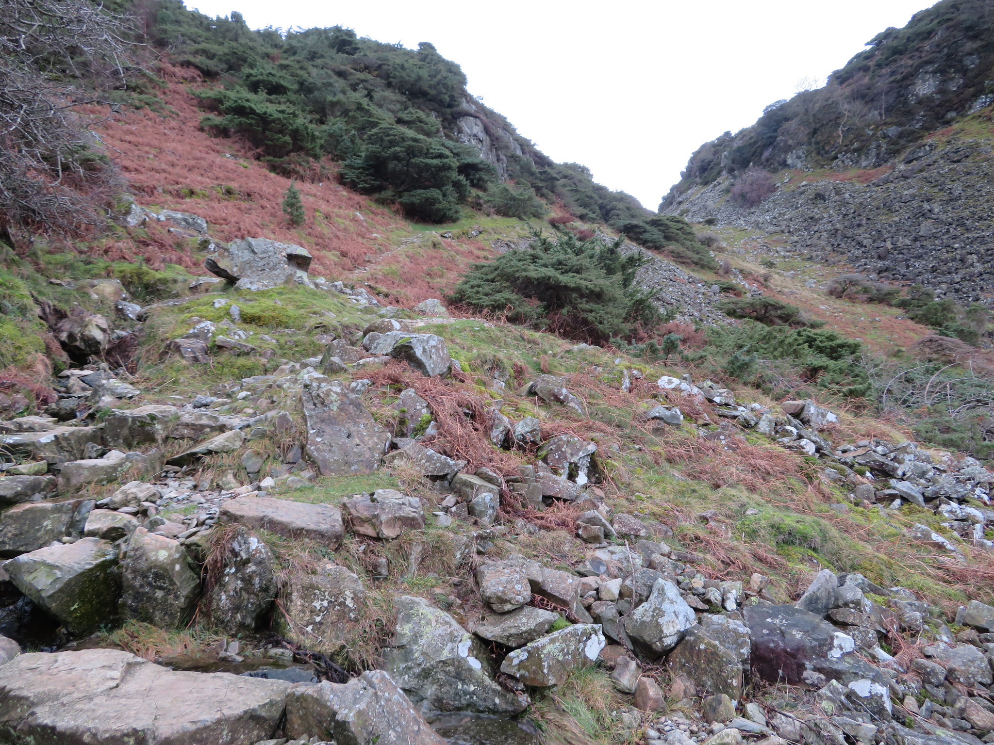 This path goes behind Silver Crag
 Once on the path it ascends steadily and gives the feeling of going the wrong way as it passes in between the high slopes of Silver Crag on the right and the mighty rocky side of Birk Fell to the left and gives the impression that it's actually going to climb up Birk Fell, but it soon swings gently around to reach the highest point of 260 metres before starting to steadily descend again towards Patterdale. The following photos show just how the path changes on its ascent to the 260 metre contour.
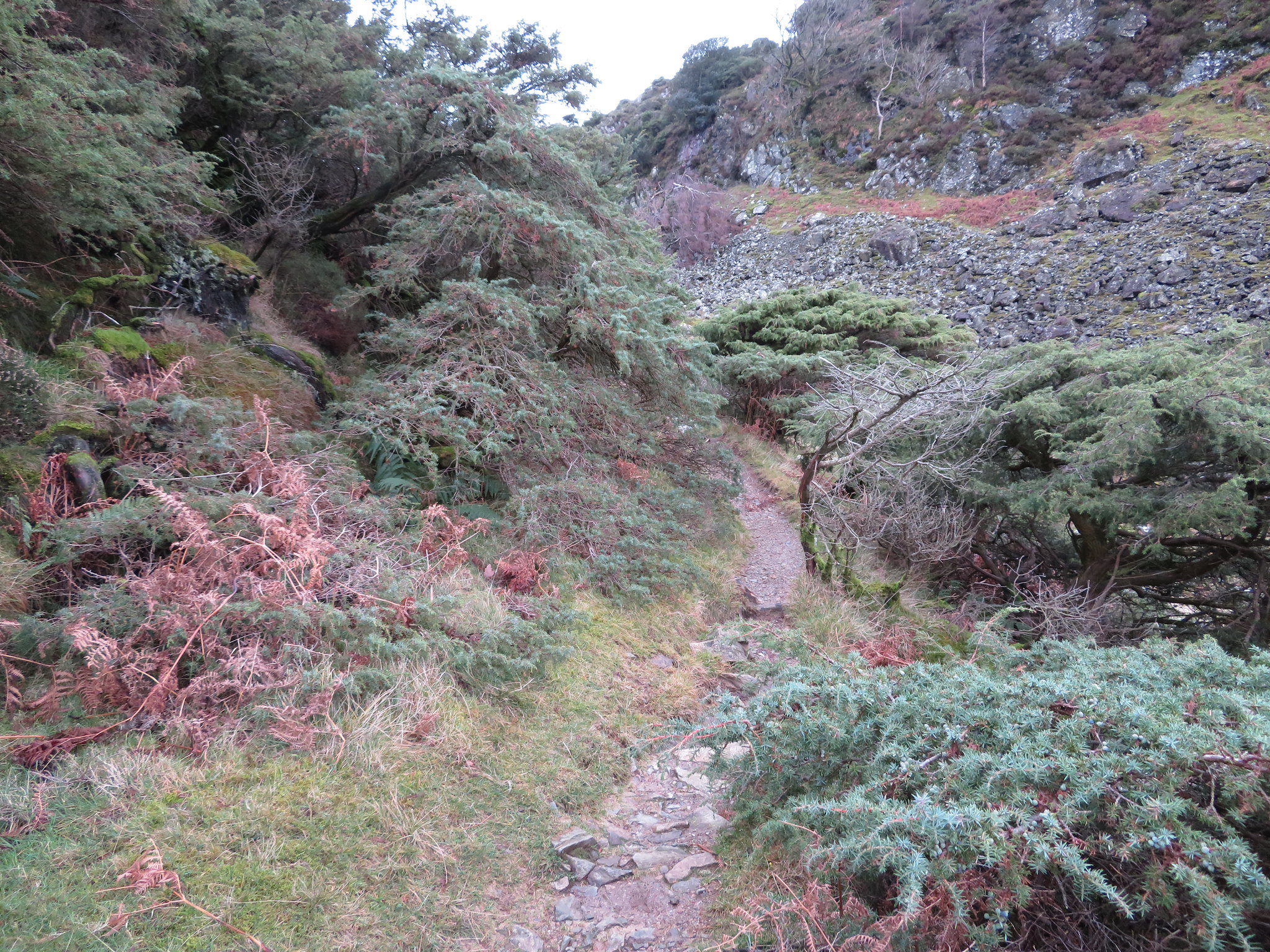 Passing through juniper trees
 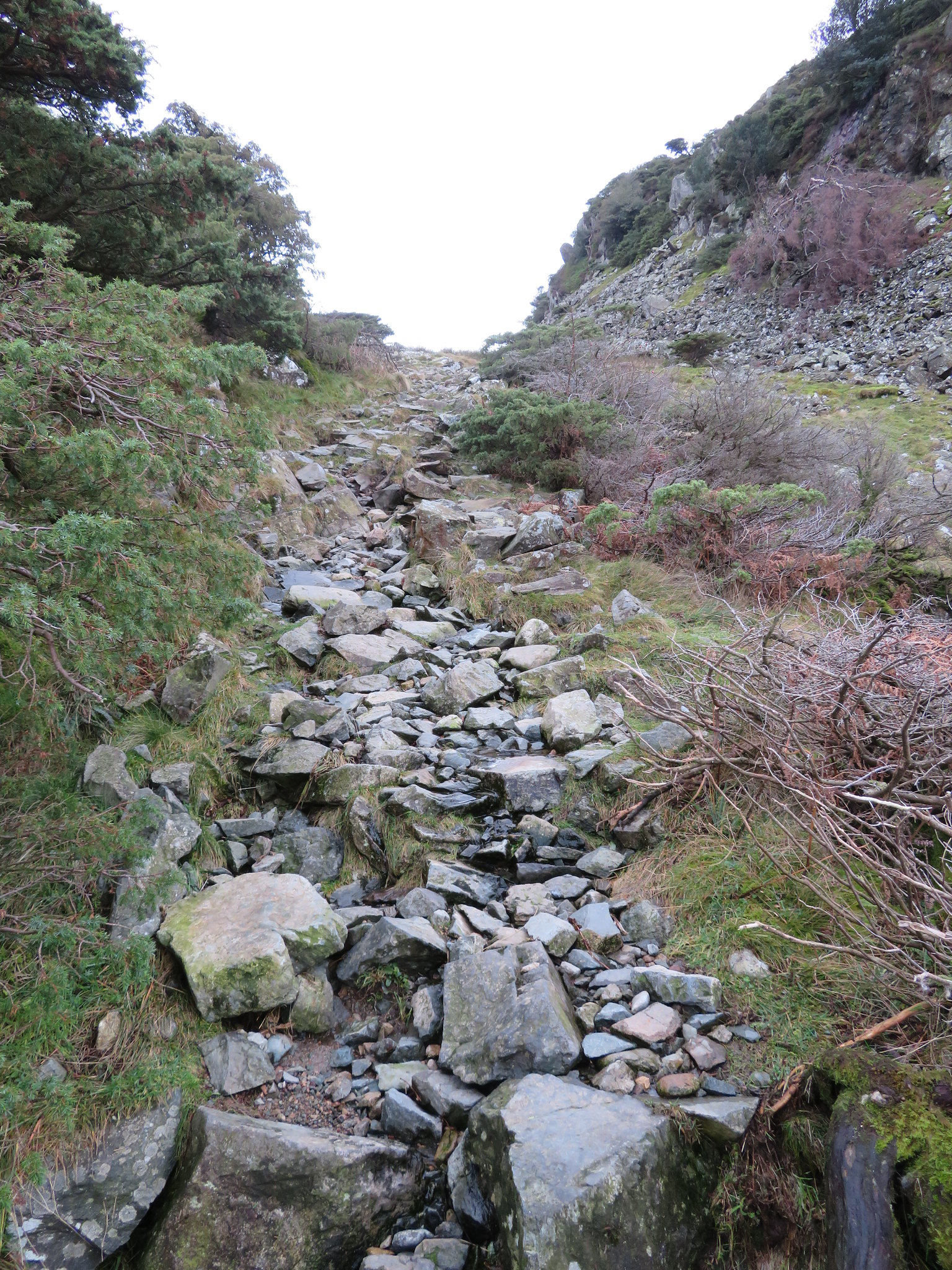 Steepens a little
 And then becomes a good track
  All the way back to Side Farm
 Well, it's nearly all over now with just a straight walk back to the farm and the car and just before leaving the high point of the path I took a photo of Glenridding on the far side of what looked like a large sheet of planished silver. Maybe that's why it's called Silver Bay.
 Glenridding across Ullswater
 This high level path allows open views towards some of the Eastern Fells…
 St Sunday Crag-Birks-Arnison Crag behind Patterdale
 and passage is quick along the fellside path. All is quiet apart from the sounds of a chainsaw coming from the woodland around Patterdale Hall and as I got closer I could see that there was a fair amount of tree felling going on at the back of the wood. It seems a shame to see native woodland cut down but maybe the trees are infected by some disease or are at the end of their life cycle. Or maybe, just maybe, some sort of development is planned; only the future will tell.
This has been a great days walking upon and around some of the Lake Districts finest fells, a day that I had been looking forward to for a good few weeks, and I wasn't disappointed. A mixed walk of varying degrees with a fairly long but steady climb to start, then an undulating ridge walk over variable ground that in warmer conditions can be very wet in places. Once off the fell it is a more relaxed sort of walk back along and above the southern shore of Ullswater all the way back to the car.
