free to be able to rate and comment on reports (as well as access 1:25000 mapping).
Due to the current situation Chris and I decided to complete the Coledale Round, a round that we started a few months ago but for various reasons we deferred on 2 of the last 3 fells only passing over the Birkett of Stile End on our way back to Braithwaite thereby leaving Outerside and Barrow until a more appropriate time, maybe a short winters walk. Well today seemed appropriate enough, its winter, and just now it's far enough for my walking partner, 8.5 kilometres or 5.25 miles but with a respectable 577 metres or 1,900 feet of height gain.
As I did a similar walk with E a good few months ago I don't really want to dwell too much on the script as I would only more than likely be repeating myself and charged with self plagiarism. But I'll give it a go.
It was a pleasant drive to the start of the walk that was to be the large car park - NY232217 - alongside the Buttermere road,
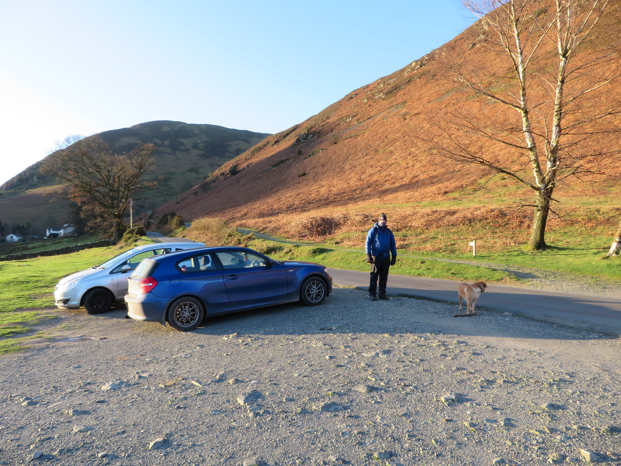 Car park above Uzzicar at NY232217
 below the east facing slopes of Barrow and above the farm of Uzzicar.
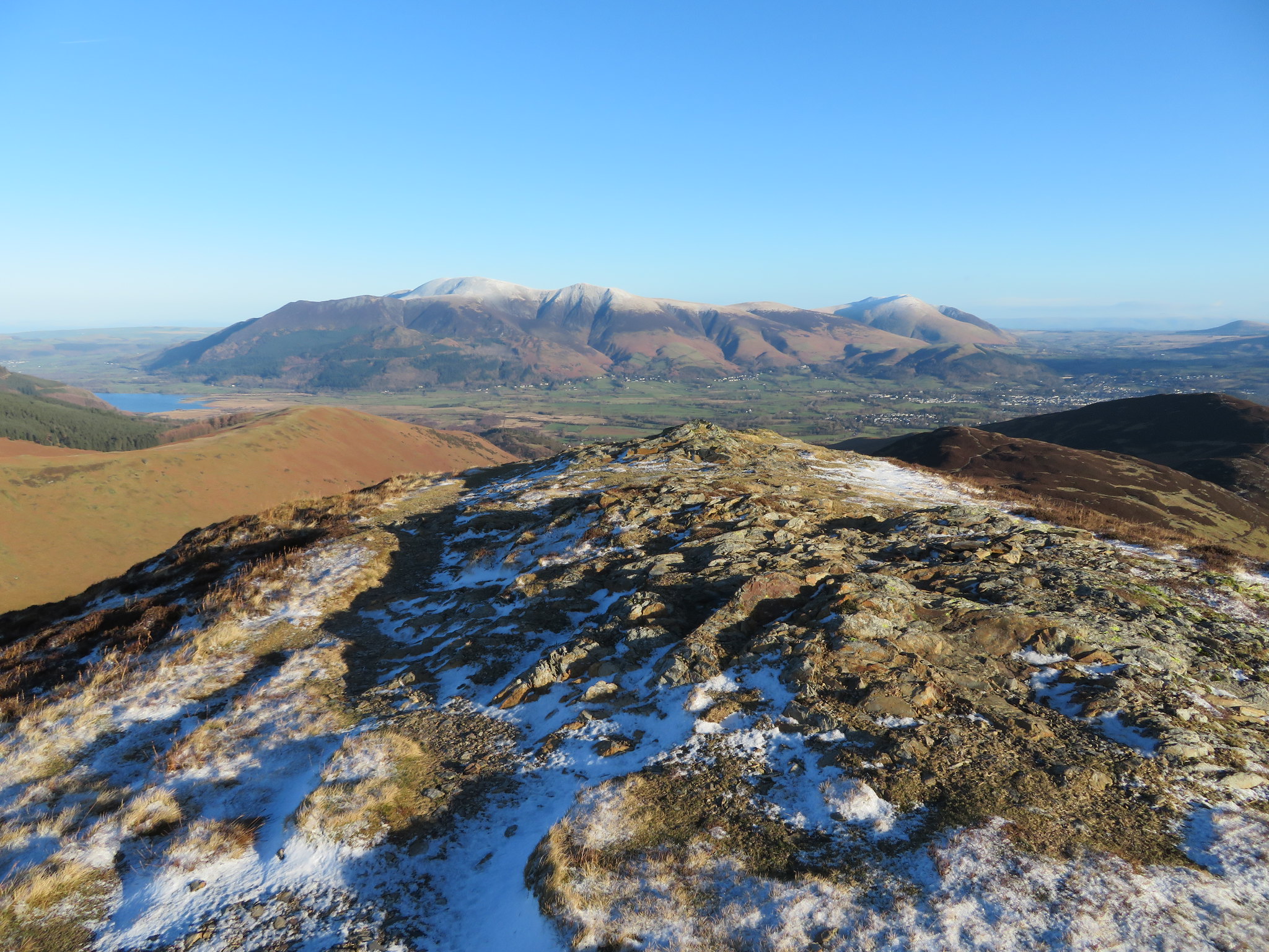
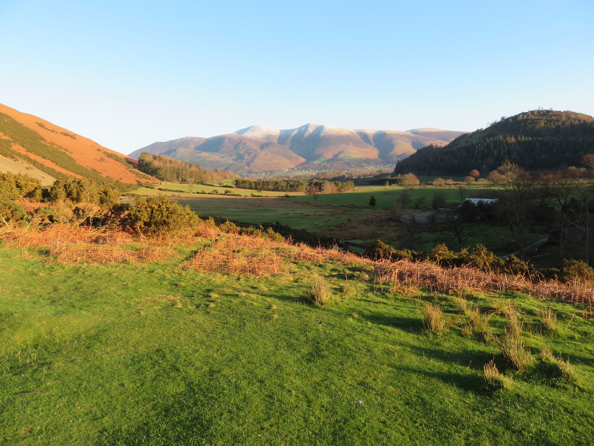 Skiddaw and friends across the Newlands Valley
 A convenient spot as it lies directly at the start of the walk. Leave the car park, cross the narrow metalled road, step onto the old mine track and away you go along the old mine road that after gently climbing south for a short while then swings around to just north of west to follow the course of Stonycroft Gill. As we walked along this part of the track we could see a few walkers making their way up the steep slopes of Rowling End, something that I've done on a couple of occasions but not really enjoyed.
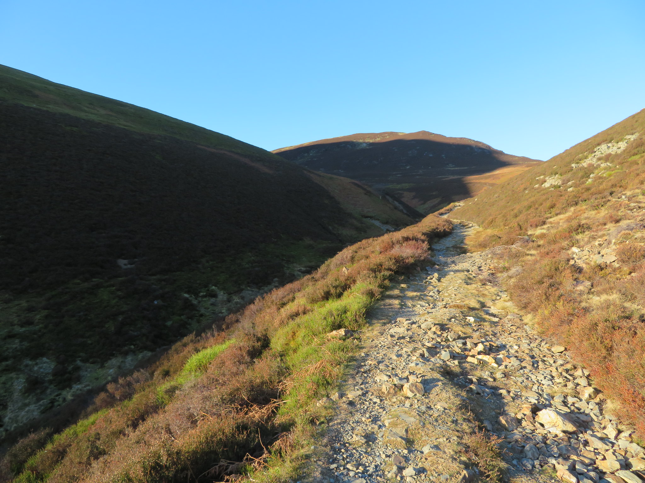
 Rowling End behind Stonycroft Stair and the old mine track
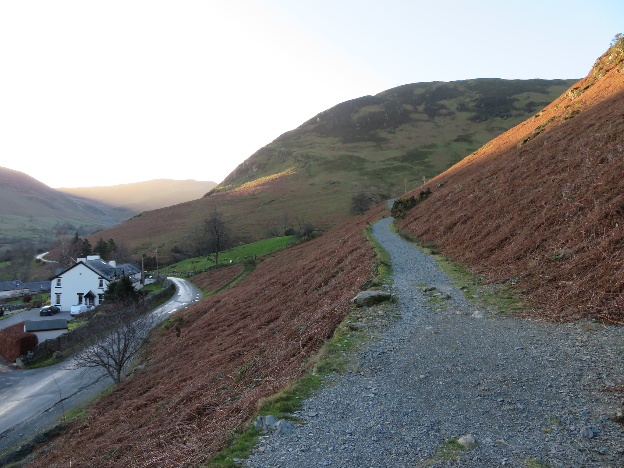
 It was a beautiful but cold day - minus 3°c - as we set off but as we were walking between Barrow to our right and the larger bulk of Causey Pike to the left we were in constant shadow for a good while, at least until we had gained some height. Chris was that well wrapped up all that I could see of him was a pair of beady eyes peering out between his pulled up snood and pulled down hood. If he'd had a rifle he could have passed for a mountain freedom fighting. The track is good and well graded all the way up to its summit, just before turning off to take the path up to the col between Sail and Scar Crags.
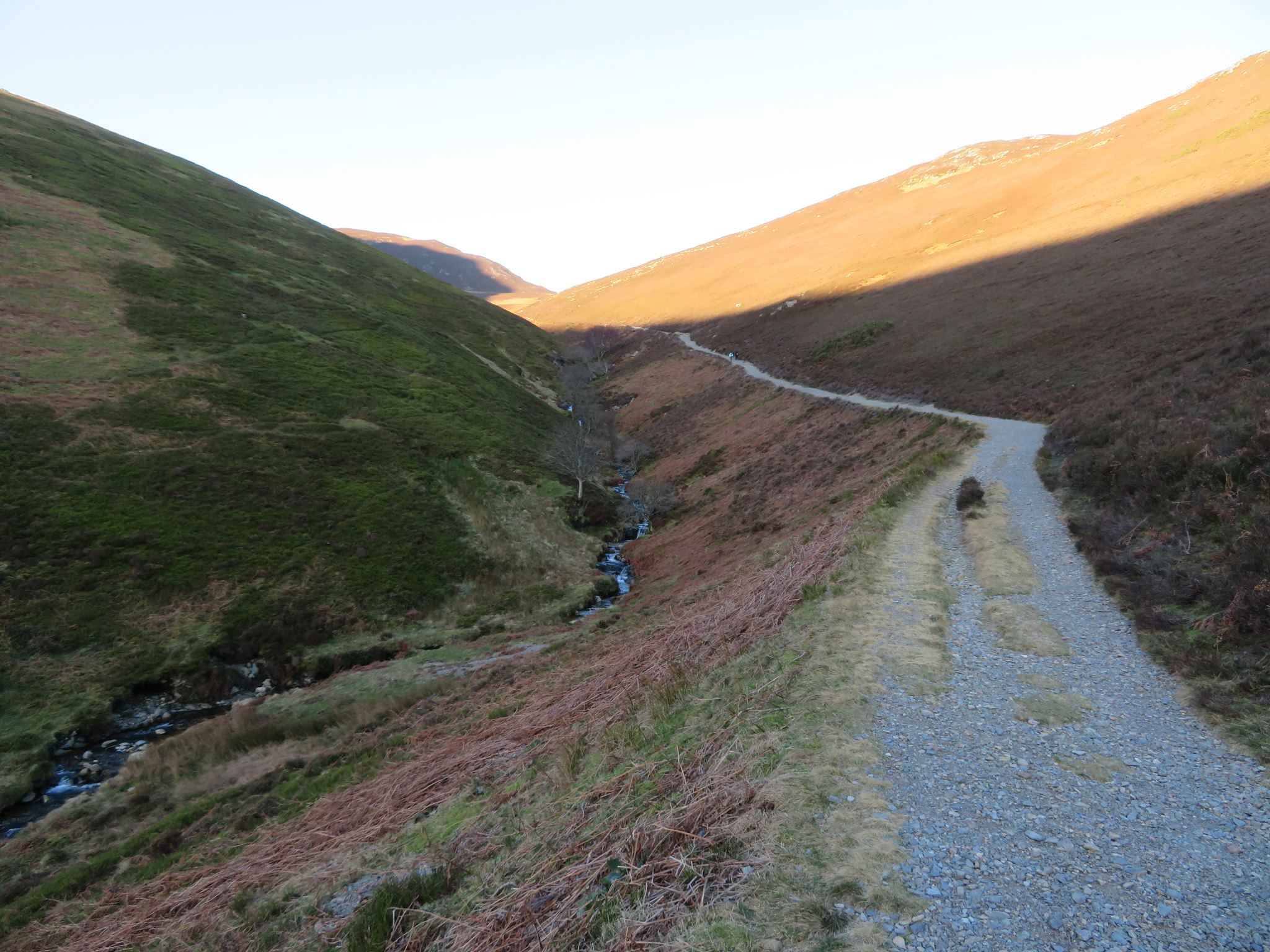 An easy climb along the old mine track
 I was curious to know how Causey Pike had got its name and a few examples of the word are to be found below.
Causey Name Meaning. English (of Norman origin): topographic name for someone who lived by a causeway, Middle English caucey (from Old Norman French cauciée); the ending of the word was in time assimilated by folk etymology to Middle English way.Middle English: from Anglo-Norman French causee, based on Latin calx 'lime, limestone' (used for paving roads).causey (plural causeys). (obsolete) An embankment holding in water; a dam. [14th-18th c.] (now dialectal) A causeway across marshy ground, an area of sea ...The examples shown do relate to the area around Causey Pike as there certainly is a limestone track with the higher section probably passing over marshy or boggy ground. On the south side of the track just as the corner is turned above Ellas Crag there are the remains of an old reservoir, and there were certainly people living near the track - or causeway - farmers and miners alike. But just which definition it leans towards is most likely lost in the annals of history.
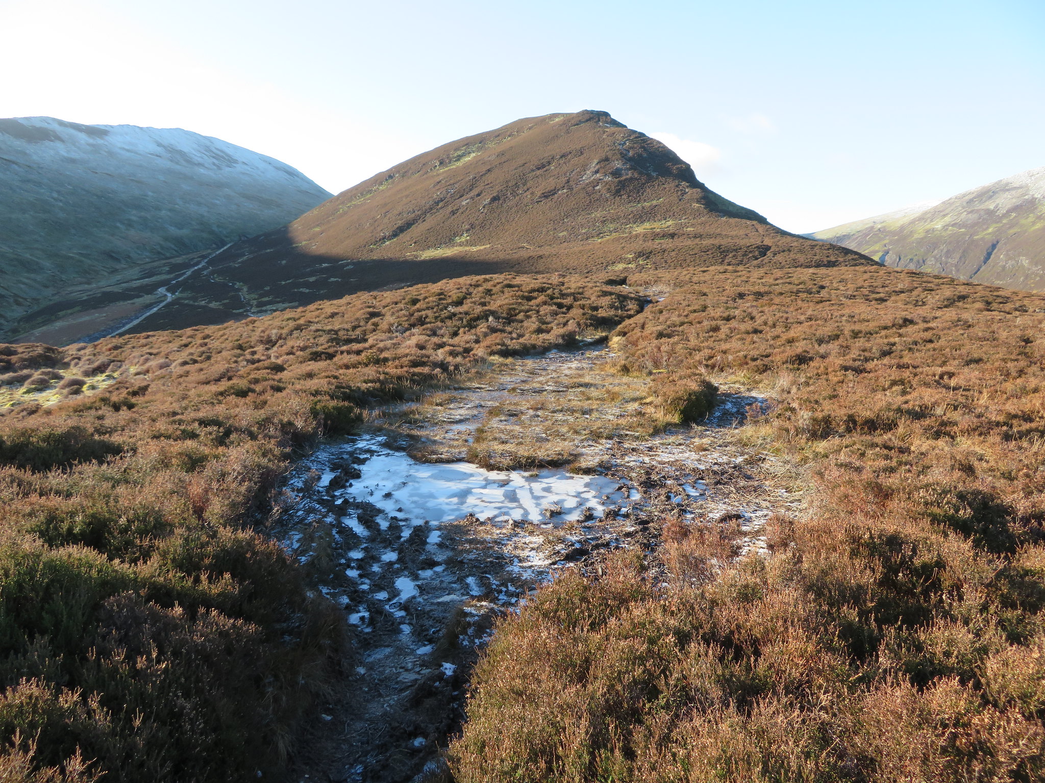
After a short time of steady climbing we finally met up with the sunshine for a short while, not as it made much difference to the temperature as the chill breeze cancelled out any benefit to be had from the sun's rays. Outerside was now properly in sight.
 Outerside
 Our short sun bathing session over and now back in the shade a look backwards saw us looking towards the Central Fells, Walla Crag, Bleaberry Fell and High Seat forming a hazy foreground to the line of the Dodd's ridge behind them.
 East towards the Central Fells and The Dodds
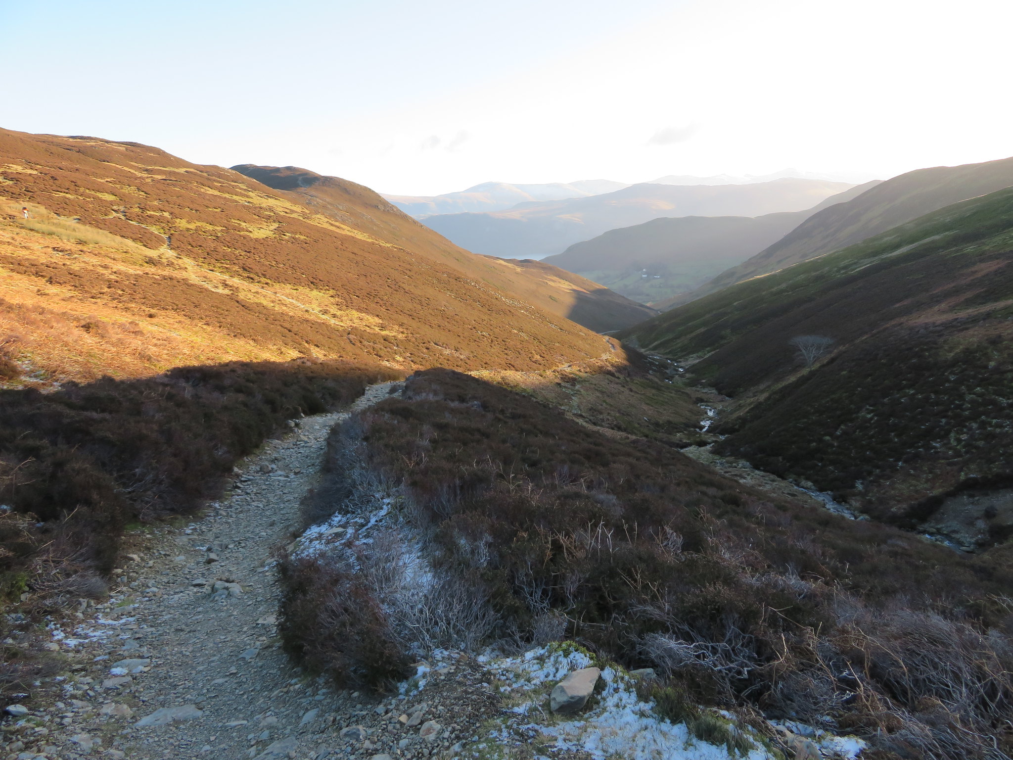
 We soon arrived at High Moss and the point where we would now turn northwest along a faint path that passes an old shelter, a place where we called a halt before embarking on the climb up to the summit of Outerside. From the shelter the path climbs easily around the fellside to then meet a wide and well used path that now turns to the northeast and goes directly to the summit. From around the 500 metre contour we had a great view of near 50% of the Coledale Round, Sail and Crag Hill along with Scar Crags that are not shown in the following photo.
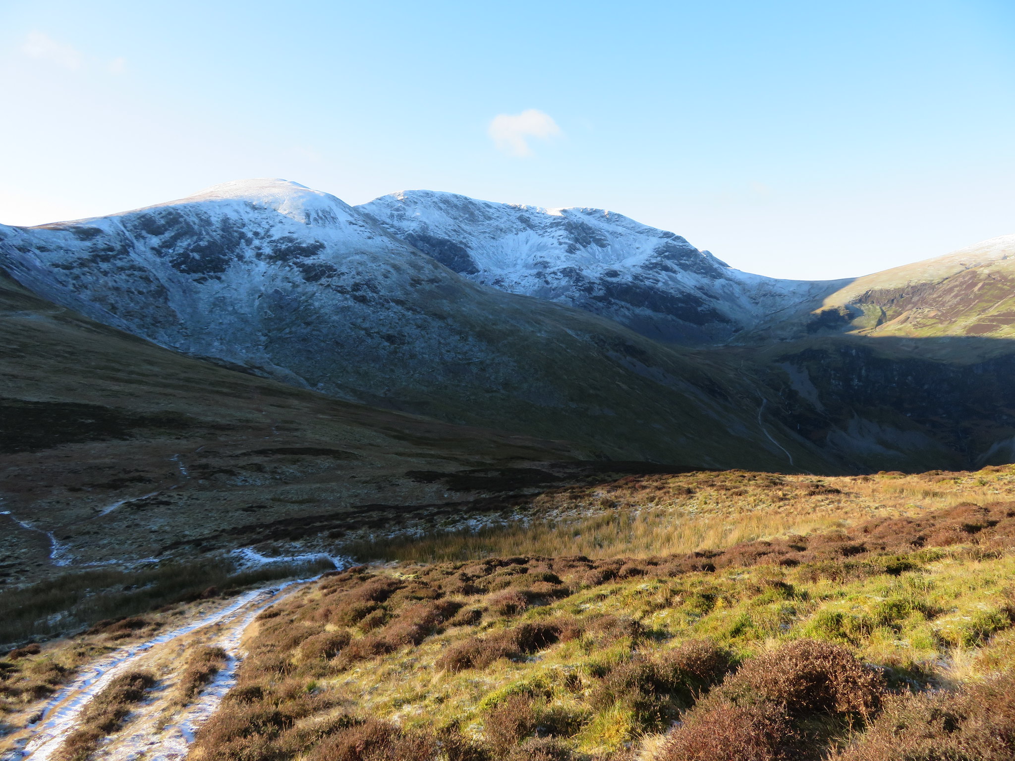 Sail and Crag Hill
 Turning around to the northwest the other half of the Coledale Round is to be seen from Grisedale Pike to Sand Hill.
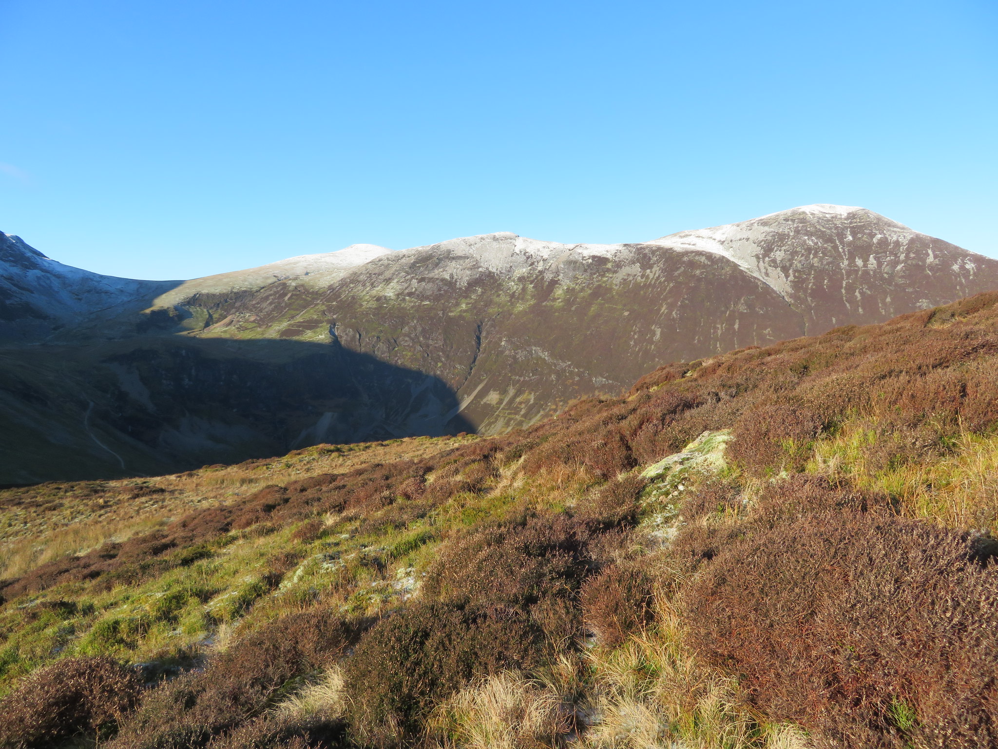 Grisedale Pike - Hopegill Head - Hobcarton Crag - Sand Hill
 A short stroll over to the edge of the fellside and we could see the old workings of Force Crag Mine far below at the head of Coledale.
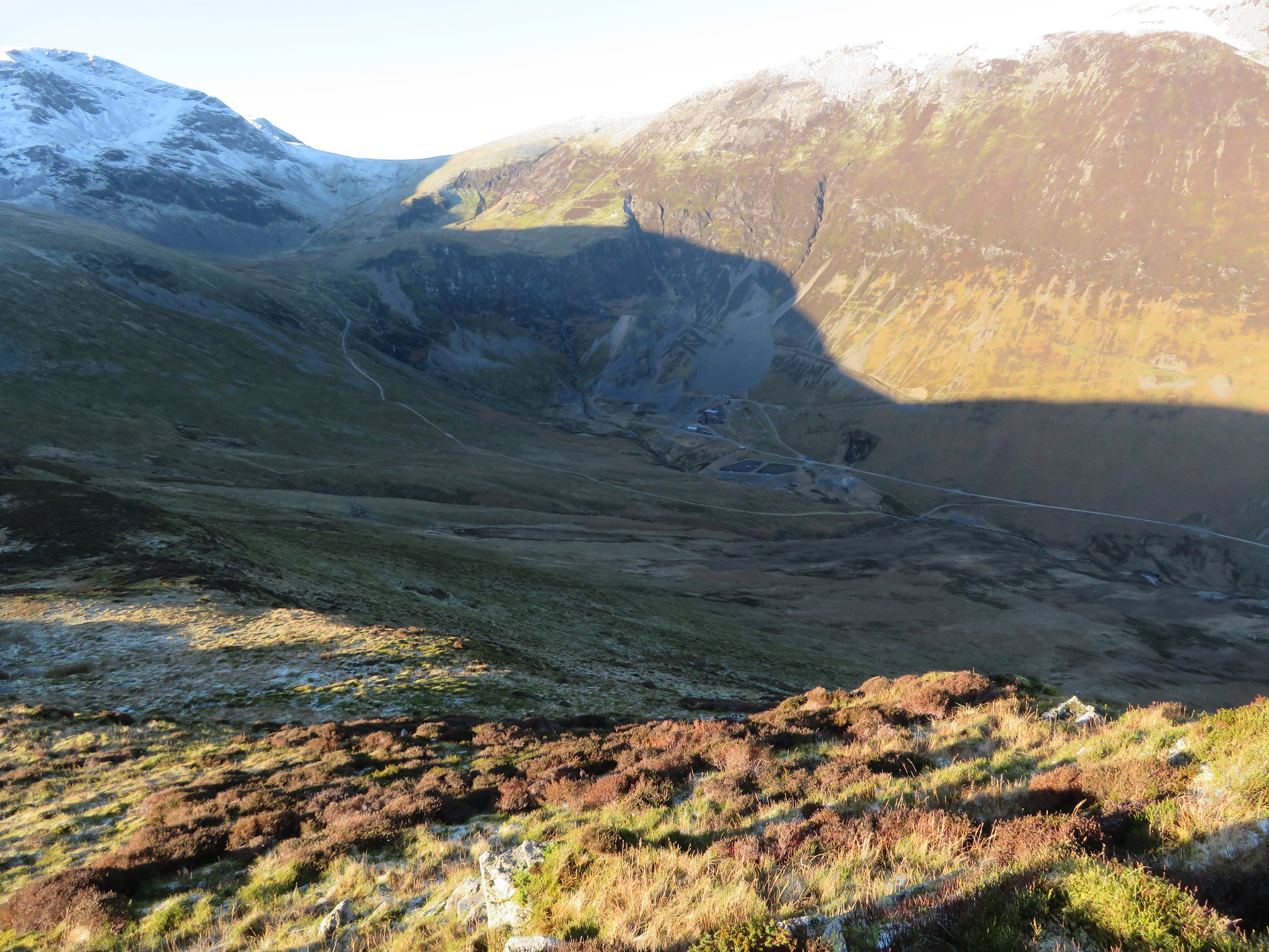 Force Crag Mine at the head of Coledale
 This was a glorious day to be out and about on the fells despite the cold and patches of underfoot ice and thin covering of frozen snow in the shadier areas. Sun and blue skies were an abundant feature of this day out and as its January we could excuse the sun for not winning the fight with the freezing and strong breeze on these most open of fells.
Arriving at the summit gave us an almost all round panorama apart from to the northwest where the bulk of Grisedale Pike and its ridge blocked the views from seeing any further that way therefore preventing us from seeing the fells of Lord's Seat, Graystones etc.
But in the other directions, wow.
 The Skiddaw and Blencathra massives from Outerside
 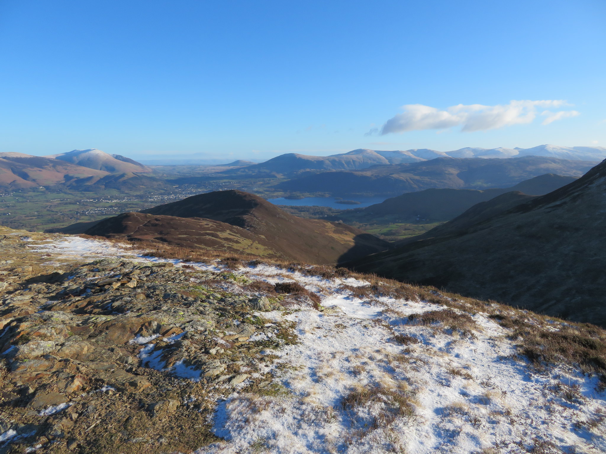 Some Central Fells with Clough Head to Helvellyn ridge behind
 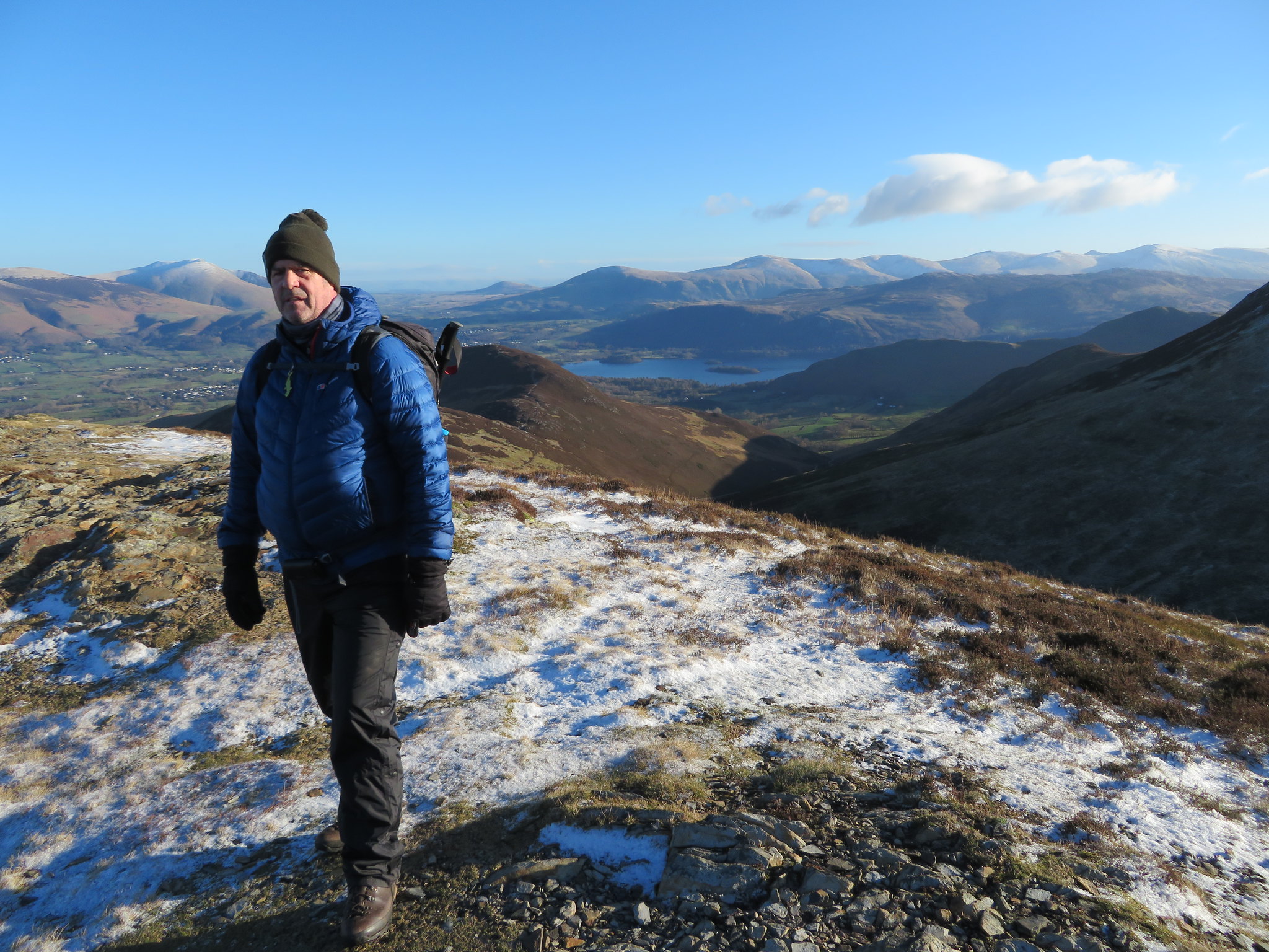 Chris on Outerside summit
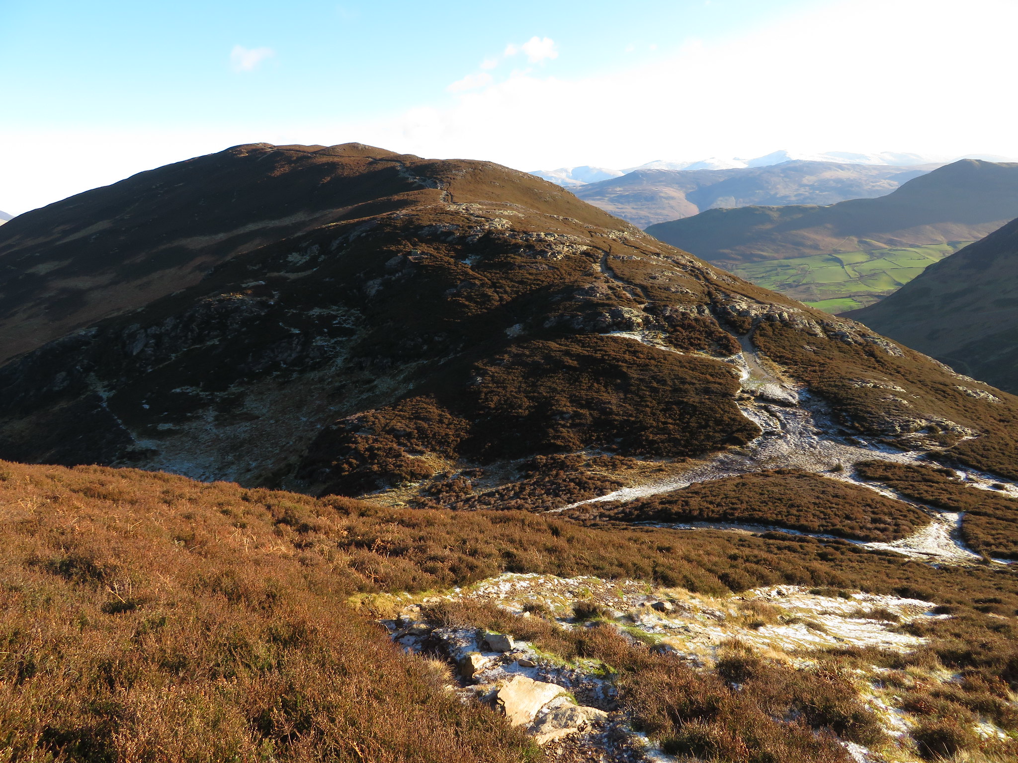
 We could now see the clear and snow covered path laid out before us as it wends its way down the northeast slopes of Outerside, across Low Moss to then climb the Birkett of Stile End from where it then turns to the SSW and down to Barrow Door before making its way northeast up the easy slopes of Barrow.
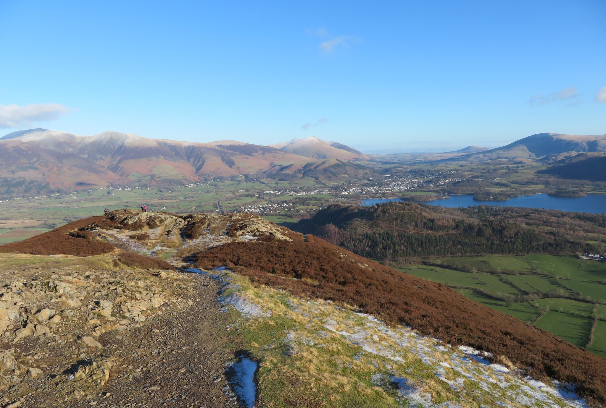
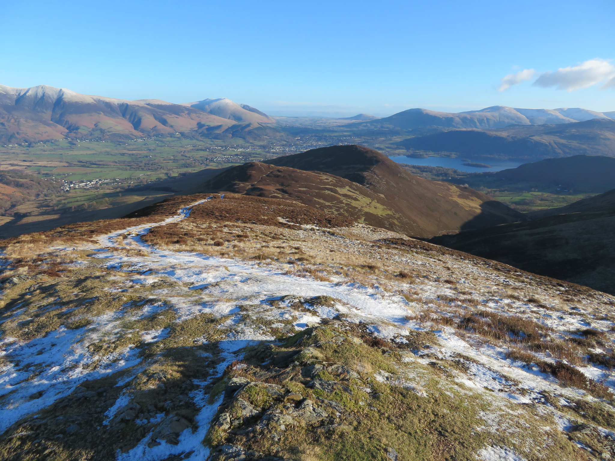 Stile End and Barrow with Keswick beyond
 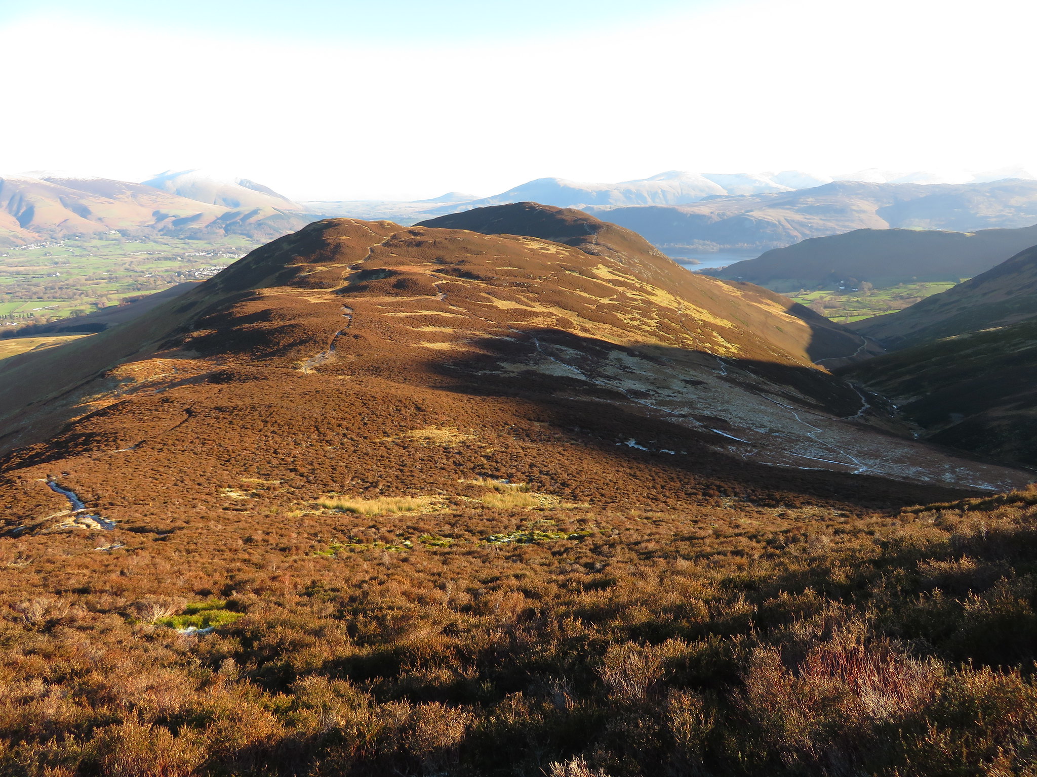 The ridge route to Barrow summit
 The path down towards Low Moss is quite steep and rocky in places and the frozen ground with ice was doing us no favours as we took our time descending but we got down without incident to then walk across the usually boggy stretch of Low Moss that today was frozen hard as iron. From somewhere in the centre of this frozen fell I took a couple of photos.
 Looking back to Outerside from Low Moss
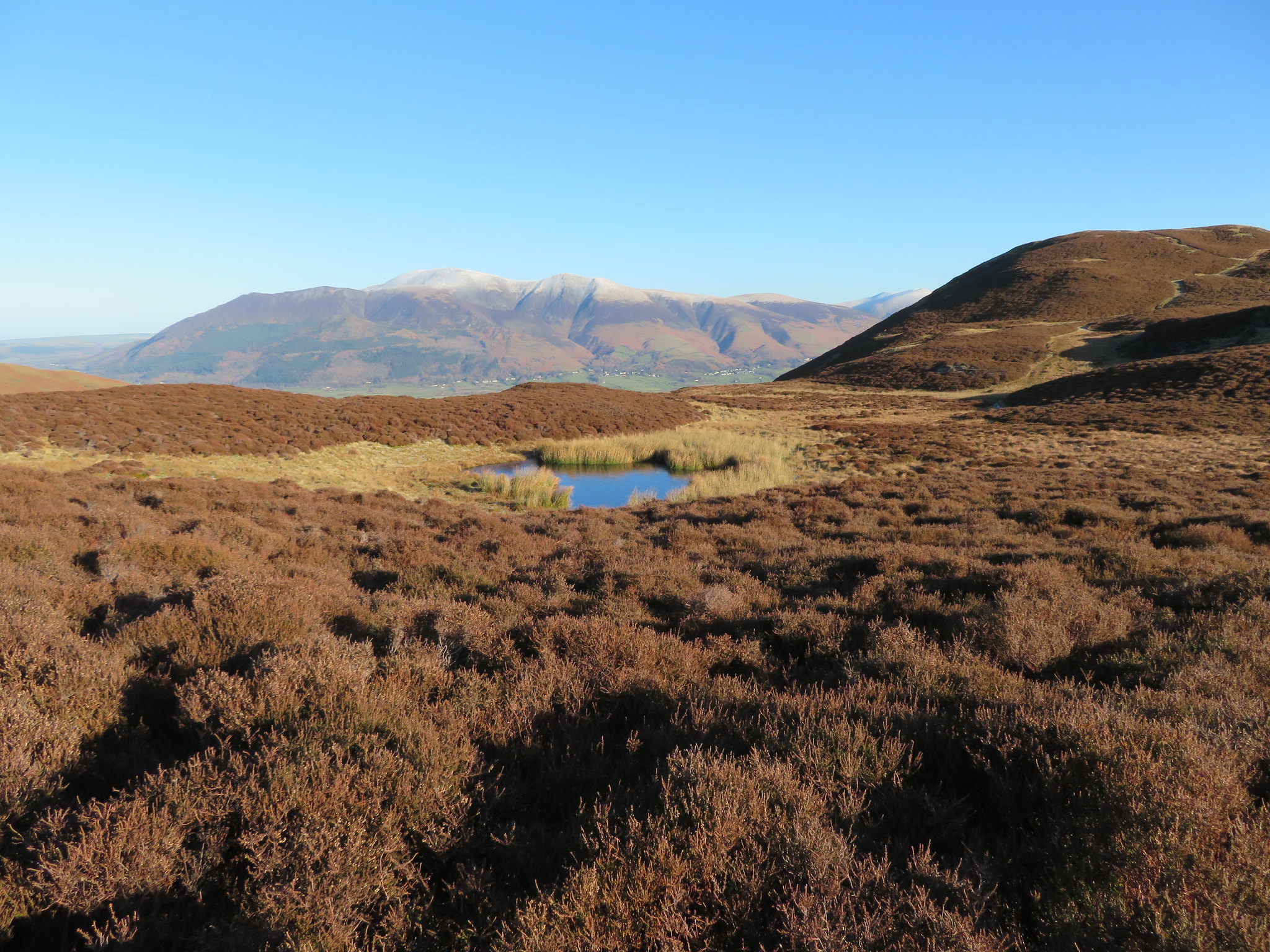 Skiddaw from Low Moss
 From Low Moss we climbed the gentle path to the summit of Stile End and then took a precarious descent through ice covered rocks and bare gravel to the crossroads of Barrow Door.
 Barrow and Barrow Door from Stile End
 Another rest break was required at this point before the steady climb to the summit of Barrow so we picked some rock, cleared the snow from it and relaxed in the warm sun. We had left the breeze behind for a while at this sheltered spot and a man could easily have took 40 but for the seemingly nonstop passage of other walkers passing through this convenient gap. The fells were certainly busy today and who could blame anyone for taking a walk through these lovely fells on a day such as this.
The path up Barrow is good and well graded so not long after finishing our break we were arriving at the summit with snow capped fells stretching out in every direction before us.
 A view east from Barrow summit
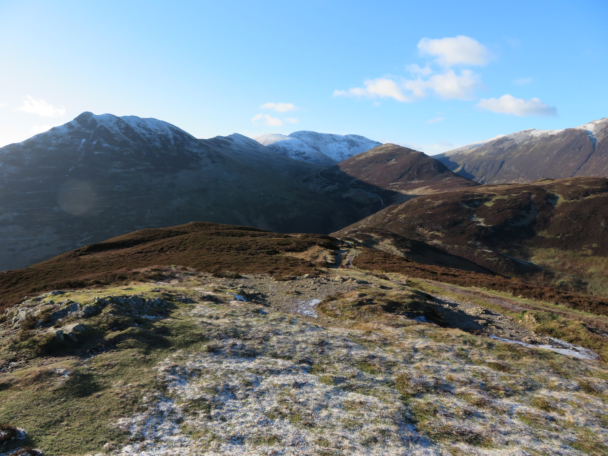 Causey Pike to Crag Hill ridge from Barrow
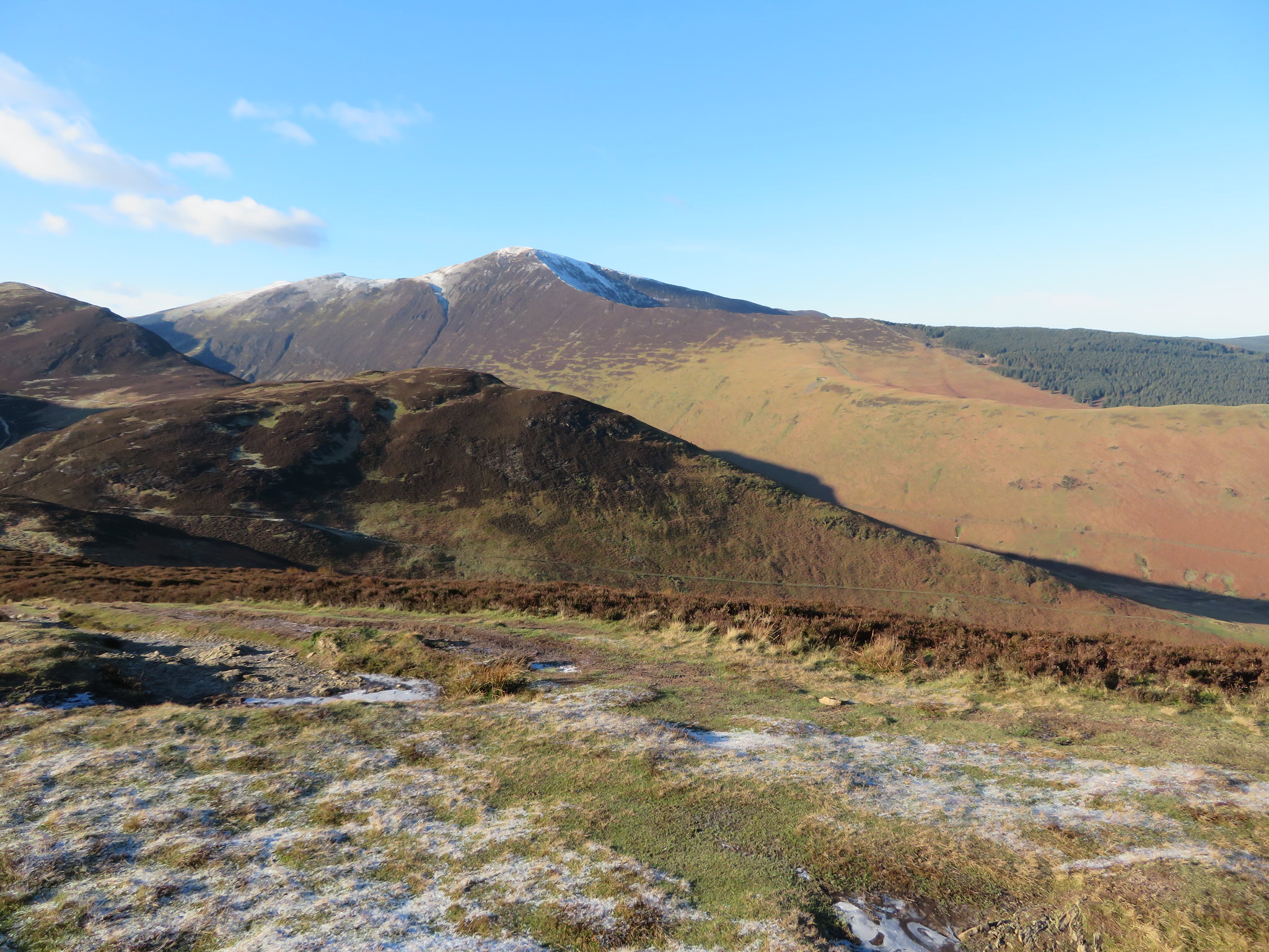 Grisedale Pike
 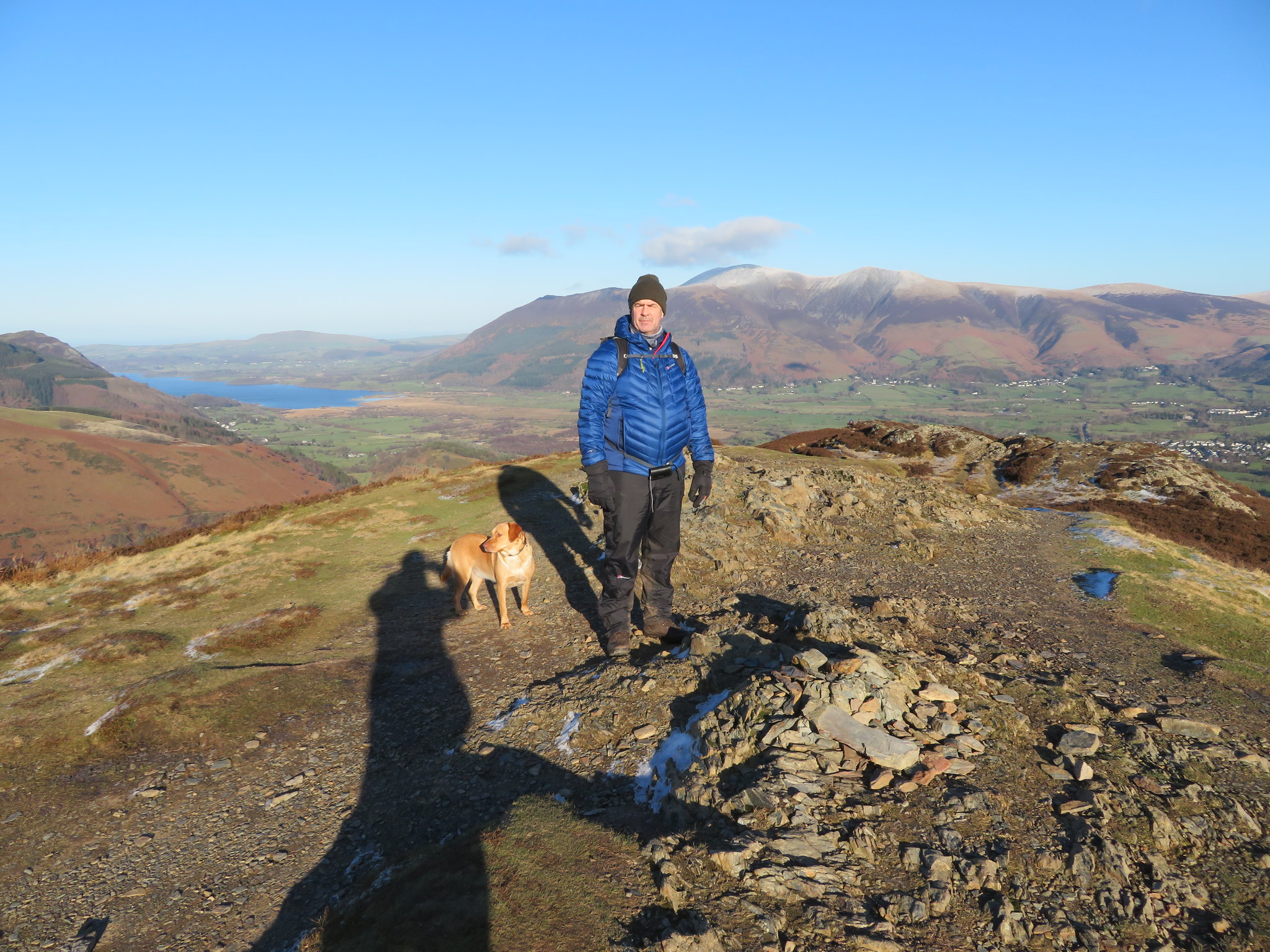 Chris - Sonny and me at Barrow summit cairn
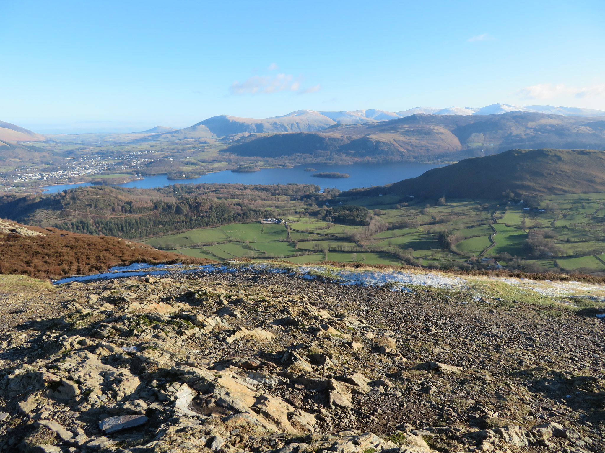
 And then there was Braithwaite and Keswick sprawled out before us, white house's scattered amongst the green of the valley, small white dots of the farms nestled amongst trees that affords at least some shelter from the rigours of winter. We can't forget Derwent Water looking a deep vibrant blue as it reflected the colour of the sky, nor Bassenthwaite Lake as it peeped around the base of Barf.
 A view towards Keswick from Barrow
 Lord's Seat-Barf-Binsey-Longside Edge behind Braithwaite
 We stood awhile soaking in the views before setting off down the long northeast ridge as it pointed the way towards Braithwaite Lodge. A long easy drop off that proved to be a warm affair as we were now in near constant shelter from the cold breeze.
 The Dodds to Helvellyn behind Walla Crag-Bleaberry Fell and High Seat
 Instead of taking the steep path that zigzags down the fellside from about the 230 metre contour we made our way down to the bottom to follow the well used and good path that soon runs south back to the Buttermere road and car park.
Another great day out, with the last fells of the Coledale Round in the bag for Chris and his sidekick Sonny. We've been quite fortunate with the weather since Chris started walking again as rain, wind and fog/mist seem to follow us around on a fairly regular basis, but today has been perfect walking weather and the number of people out on the fells today seemed to endorse that.
