free to be able to rate and comment on reports (as well as access 1:25000 mapping).
If you like wild places and wildlife with great views but don't like crowds and don't care if your hill is a bit below mountain status then this is a walk for you!
I've walked up Moel y Llyn a few times and rate it highly as a walk and viewpoint. The routes I have take have always been 'there and back' so I though I'd try a circular walk. The circular route is the second map (obviously!).
I drove up the steep lane behind the Wildfowler in Tre'r Ddol... half way up the oxygen mask deployed! Pray you don't meet anything coming the other way! There's a convenient, large(ish) lay by on the right at the Cwm Clettwr Natural Reserve. The walk starts through pretty natural woodland, I saw a Redstart and a Pied Flycatcher on my way through. I walked out on the southern leg. Route finding was straightforward until the gate at SN 684 910. After a few hundred metres east the path should enter the access land under Moel y Garn... however, there's no gate here.... I had to walk NE to find a place where I could cross the fence without damaging myself or the fence. On leaving the access land the marked path on the OS map was not visible on the ground but a gate gave a way to reach a bridleway at 695 906. I followed the bridleway NNE until 699 914 when I sort of followed the fence line east(ish) to gain the lower slopes of Moel Y Llyn. Surprising, the remnants of an old track took me halfway up. I paused for a while to watch a large dog fox hunting amongst the crags.
Moel y Llyn is an atmospheric spot with great views. An under rated place.
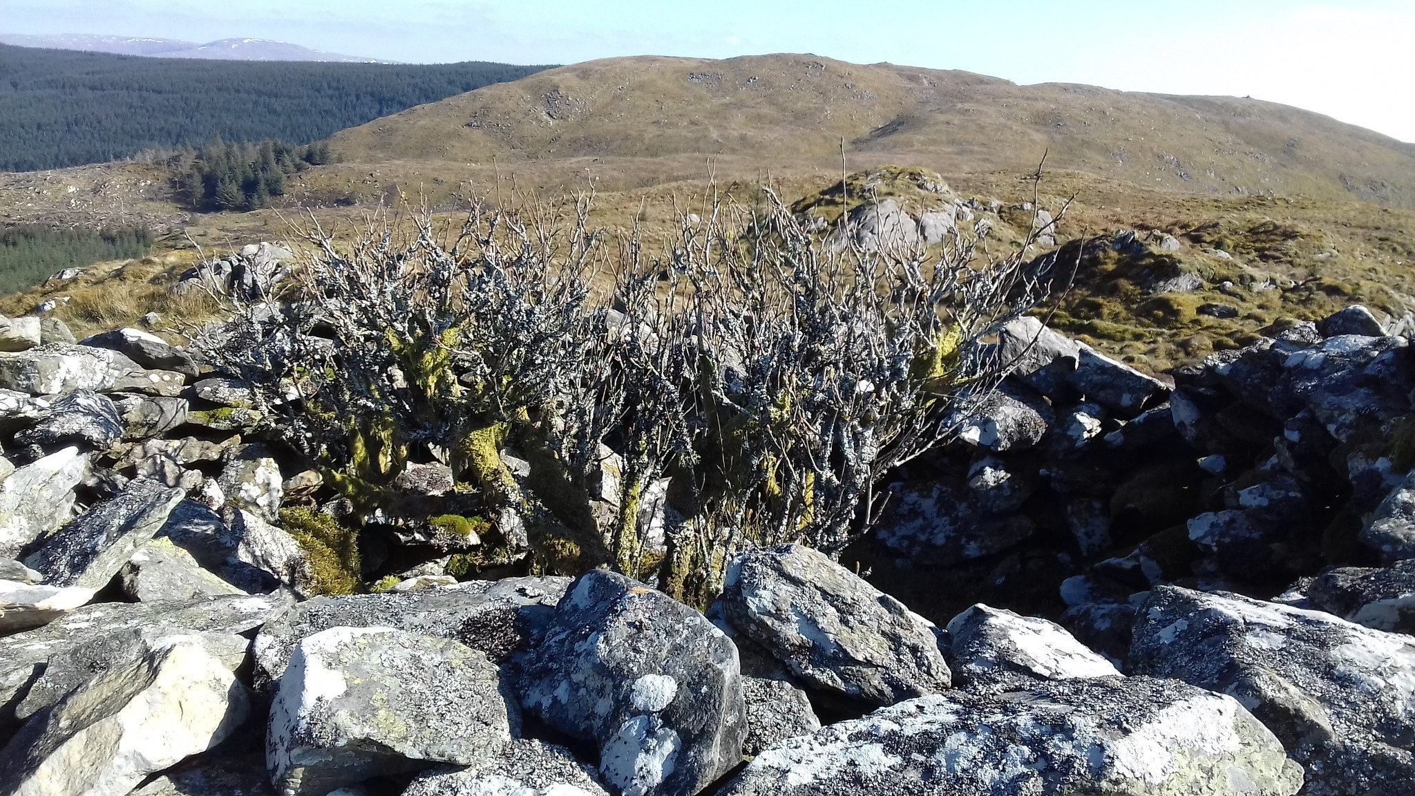
 You don't know, man. You weren't there!
 by
Peter, on Flickr
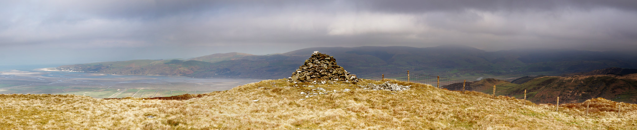
 moel y llyn trig point
 by
Peter, on Flickr
 over artist's valley
 by
Peter, on Flickr
Route finding on the return leg is fairly straightforward... in good visibility! But, I'd still advise the use of a map or GPS track. The route is best described by looking at the attached map.
 esgair foel ddu
 by
Peter, on Flickr
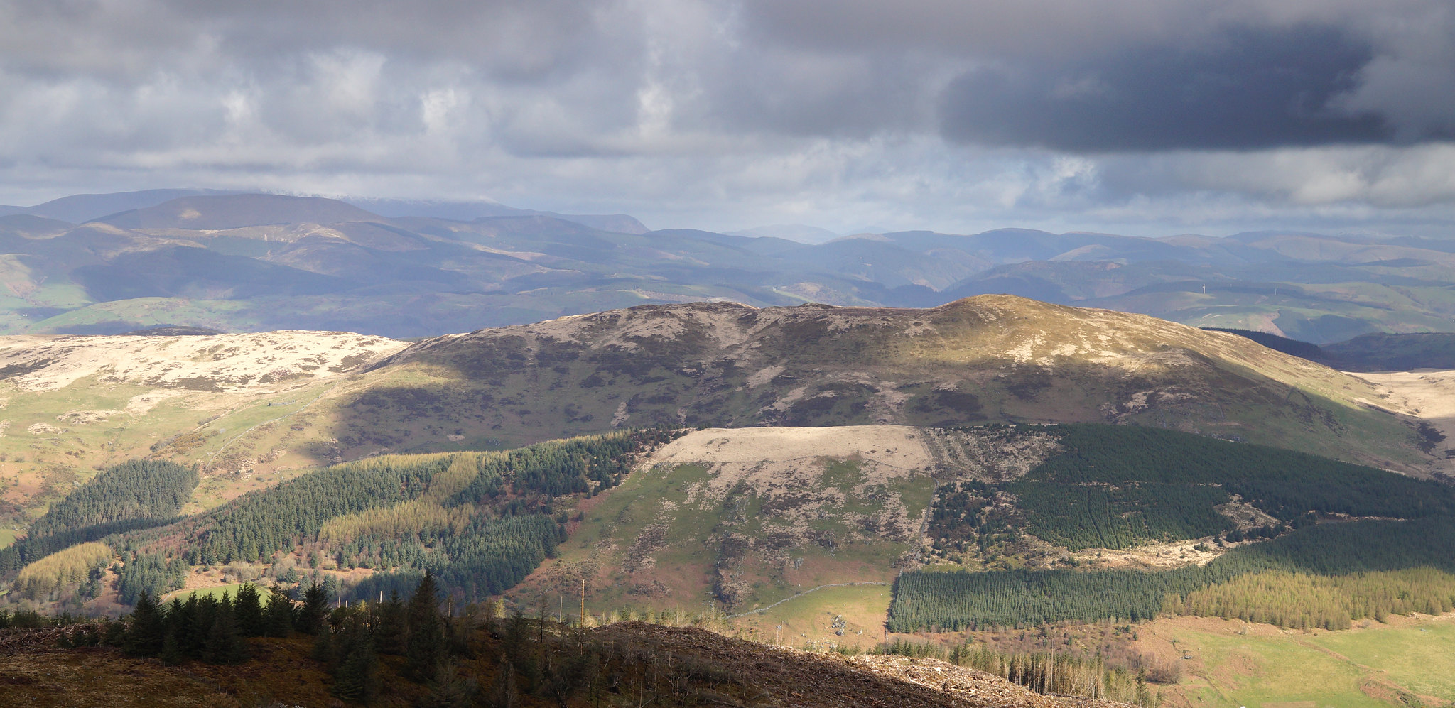
Foel Goch is a great viewpoint with wide ranging views south down the coast to Newquay, up to Aberdyfi, the Dyfi estuary, the Tarrens, Cader Idris, the Arans and Plynlimon. I think I saw some Mountain Hares there today. I'm amazed that this walk isn't popular, I've never seen anyone up there.
 dyfi estuary from foel goch
 by
Peter, on Flickr
But, to be honest I'll stick to the 'there and back' northern leg of the route in future. The southern leg is a pain re route finding, the lower slopes of Moel y Llyn are boggy here and the views aren't as good.
BUT, the best way to do it by far is to get someone to drop you off on the mountain road at 722 909, cross the stream, head right towards the ruin a bit to regain the marked path (this avoids the bog). Follow the route given in my first map... it involves an easy hedge hop before the tin shed ruin, then up the bridleway to the gate and leftwards to Moel y Llyn. Follow the northern leg in the second map BUT keep going all the way down the lane to the Wildfowler. Have a few drinks and get your driver to pick you up.
Now that is a great day in the hills. Leave Plynlimon to the tourists!
Some other pics...
 upper clettwr
 by
Peter, on Flickr
 lonely hills
 by
Peter, on Flickr
