
High Street - where eagles once ruled the skies.
There's an old saying that tells us 'ne'er cast a clout till May goes out' and although this day was bright and sunny with a fair scattering of clouds about there was still the nip of winter in the breeze, enough to make us heed the wisdom of this old weather lore.
We needed a walk in the high fells, to get a little higher than the last couple of walks that we had done during the last few days, one of which took us along the delightful Borrowdale - the one that lies between Roundthwaite Common and Whinfell Common - to then cross over the ridge via the col that lies between the two commons of Roundthwaite and Bretherdale whilst the other was a stroll through the villages that sit below Great Mell Fell and its lesser companion Little Mell Fell.
We are fortunate - and lucky enough - to live in the Eden Valley, so unlike a lot of people we have no great distance to travel before we can put a foot on any of the LD fells so on this bright and sunny day we set off for the car park at Mardale Head, Haweswater, a journey of some 16 miles taking the back roads through lovely rural scenery. The fields and meadows were greening up nicely with a proliferation of wild flowers already obvious under the hedgerows, trees, and lower fellsides and with the trees looking their best in their new spring attire today was a great day to be out and about on the hills.
We had set off to Mardale Head around 8:30am with the knowledge that the car park soon fills up whatever day of the week it is. Back in the day one could always be assured of a place on the car park but in this age of split shifts, flexible hours, working from home, etc there always seems to be more people about the fells during the normal working week. Such was the case when we arrived at Haweswater around 9am with only one available spot left; even the few designated places on the tarmac had been used.
However, we were there and parked up and we were soon booted and bagged up ready for the off on today's round of the High Street Ridge with a couple more thrown in. Passing through the gate at the foot of Gatescarth Pass we took the path that runs southwest and climbs above Mardale Beck…
 Start of the path to Small Water from Mardale Head
 and will soon have us at the small but delightful waterfalls on Small Water Beck from where it is but a short distance to the lovely crag enclosed tarn of Small Water.
 Small Water
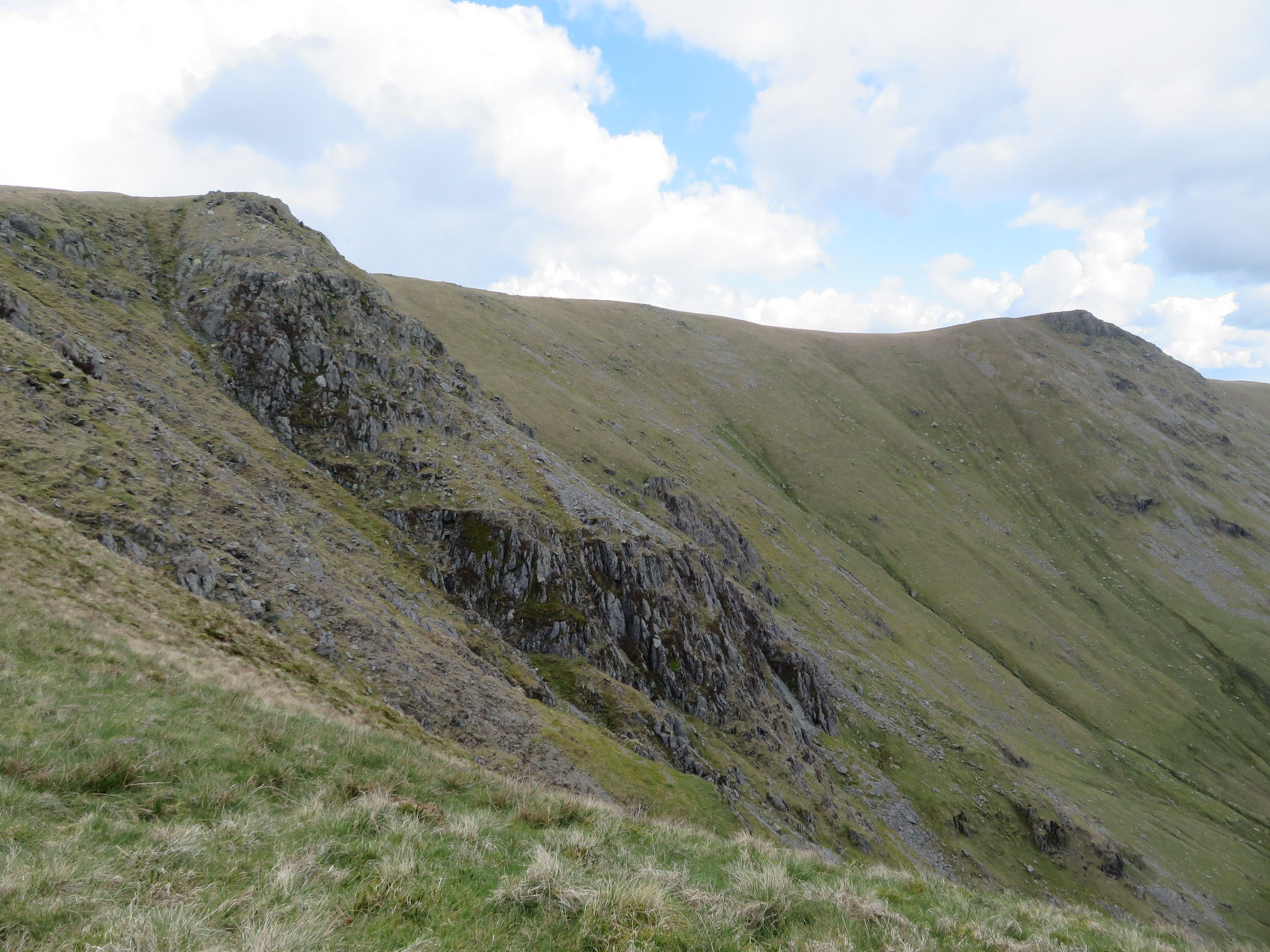
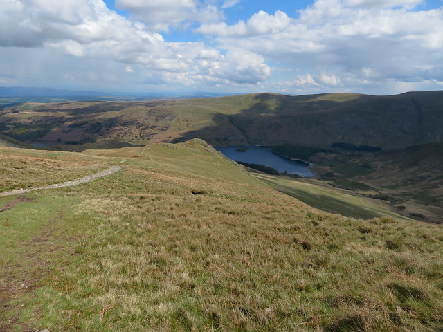
 If one is out for short stroll and wants the feeling of being deep in the mountains then this is the spot to waste away a few hours. It's peaceful, there's grass or rocks to sit or lie on, it's a sun trap and you can go for a paddle to cool off those hot feet. If a shower of rain decides to mar your time here then there are 3 stone shelters that can be used as temporary rain cover. On a first visit here and continuing on to Nan Bield one must wonder - as I did- how the hell do you get up there as from the tarns outlet the path cannot be seen as it climbs through the rocks, but there it is, and it makes for a nice steady climb up to the stone built shelter at the Nan Bield Pass.
Before arriving there for a short break a look back gave us a view northwest over to Haweswater.
 A view across Small Water to Haweswater
 A few minutes later we were at the shelter and now that we had left the confines of the Small Water basin we could feel the coldness of the strong breeze despite the blue skies and sunshine. We had to hunker down on the south side of the shelter to keep warm and it was no hardship as the views along and around Kentmere are worth a good few minutes of languishing about taking in the views.
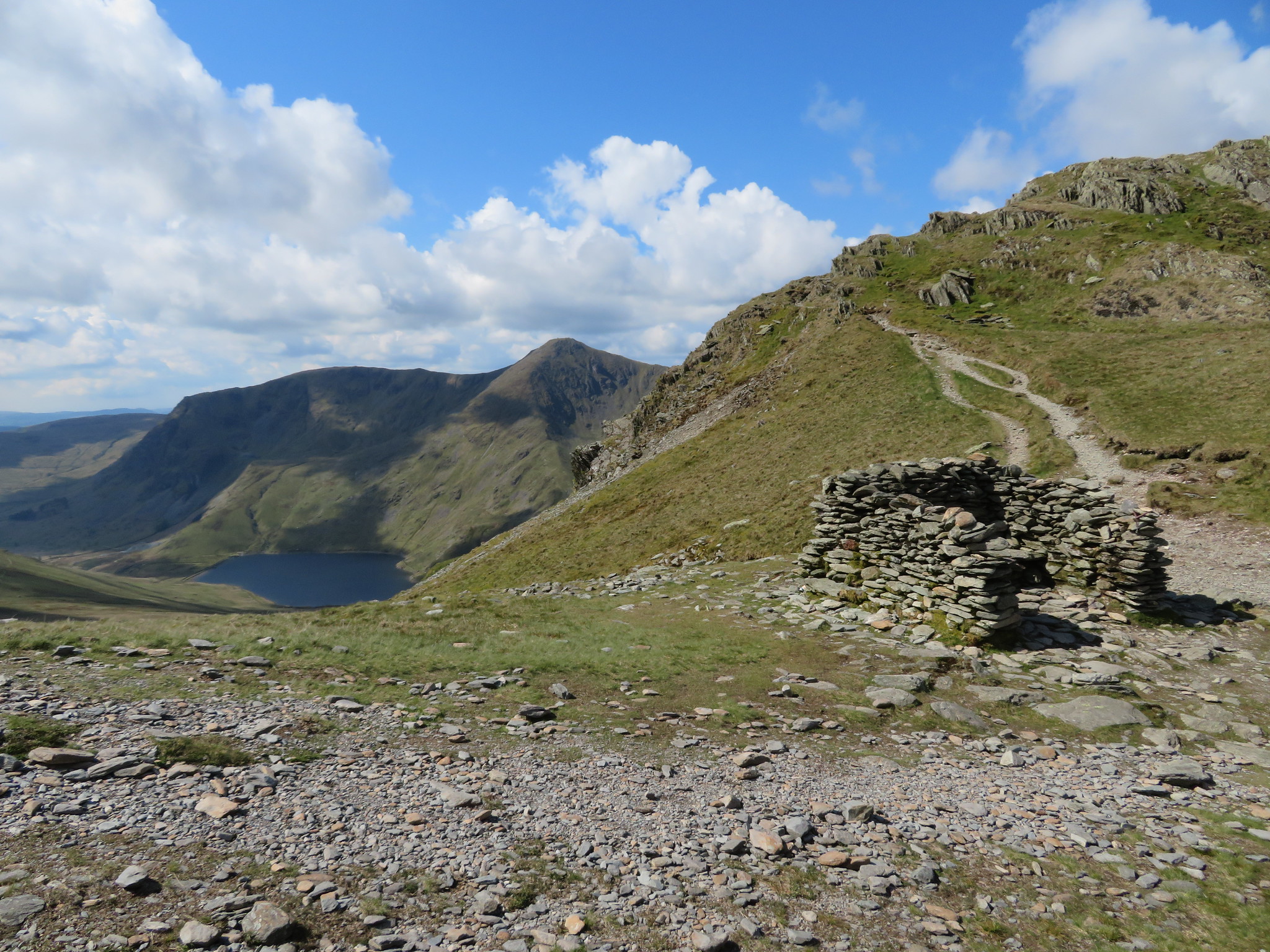 Nan Bield with Kentmere - Yoke and Ill Bell on the left
 From Nan Bield there is a choice of routes, either east to Harter Fell, south down into Kentmere, or northwest to High Street, it was the latter route that we were taking today. A short break and a chat to some other walkers and then we were ready to start the climb up to Mardale Ill Bell on the partly stone pitched path whilst Kentmere continued to open up below us to the south.
 Kentmere with Yoke - Ill Bell and Froswick behind
 About halfway between Nan Bield and Mardale Ill Bell I grabbed this next shot.
 A view northeast across Haweswater to Selside Pike
And then this one.
 Harter Fell from just below Mardale Ill Bell
 A couple of minutes later with the clouds now rolling in overhead we were in sight of the cairn of Mardale Ill Bell.
 Mardale Ill Bell on the skyline
 As we reached the summit cairn it was obvious that the clouds were having a laugh as over to the northeast the fells were in glorious sunshine.
 Northeast again from Mardale Ill Bell summit
 Now we could see the Kentmere three.
 Yoke - Ill Bell - Froswick
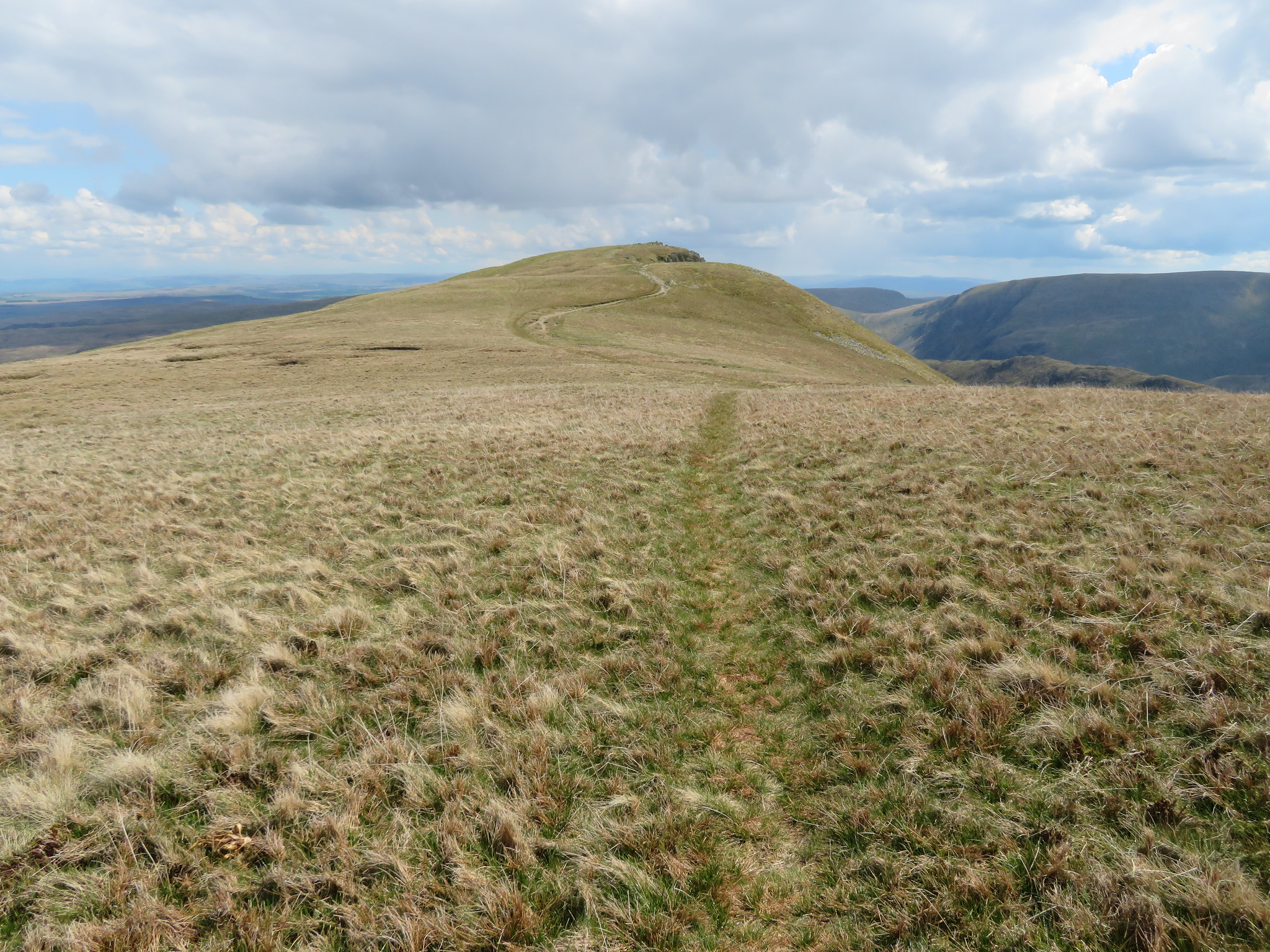
 As the wind was like a remnant left over from February we didn't linger and continued on our way to High Street, but instead of taking the obvious and stoned up path that runs more or less west from Mardale Ill Bell towards the summit wall we broke away to the north and followed the old and original path over grass directly to the summit trig column. Years ago this path was worn out, wet and rutted but now after a few years of well earned rest its nearly like brand new again and giving an easy and well graded rise up to the summit.
 The old path to High Street summit
  High Street summit
 A quick and easy walk soon saw us approaching the trig column that sits besides the tumbledown dry stone wall.
Despite the clouds the air was clear, the best it's been for a week or two and the views were nothing short of excellent, nay stupendous as we turned full circle to take them all in.
West we were looking over towards Hart and Dove Crags with all that they also have on offer.
 A western view from High Street summit
  High Street
 South is towards the Kentmere three but a decent photo was not be had from this position at the summit whilst east there is a far reaching view towards the Pennines.
North the view is open towards High and Low Raise, Rest Dodd, The Nab and so on.
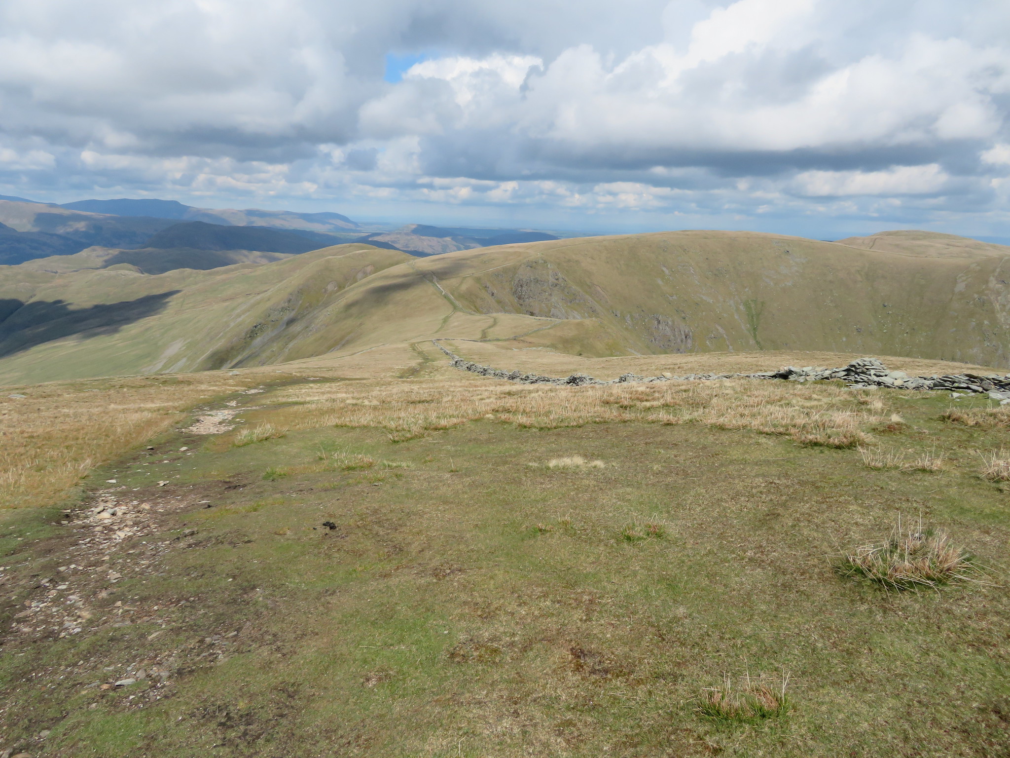 North towards The Knott - Rest Dodd - High Raise
 The path north is wide and clear and with the accompanying wall it is impossible to miss ones way to those big grass covered fells, even when the clag is down. As we passed by Riggindales Long Stile the fells around Patterdale came more into view.
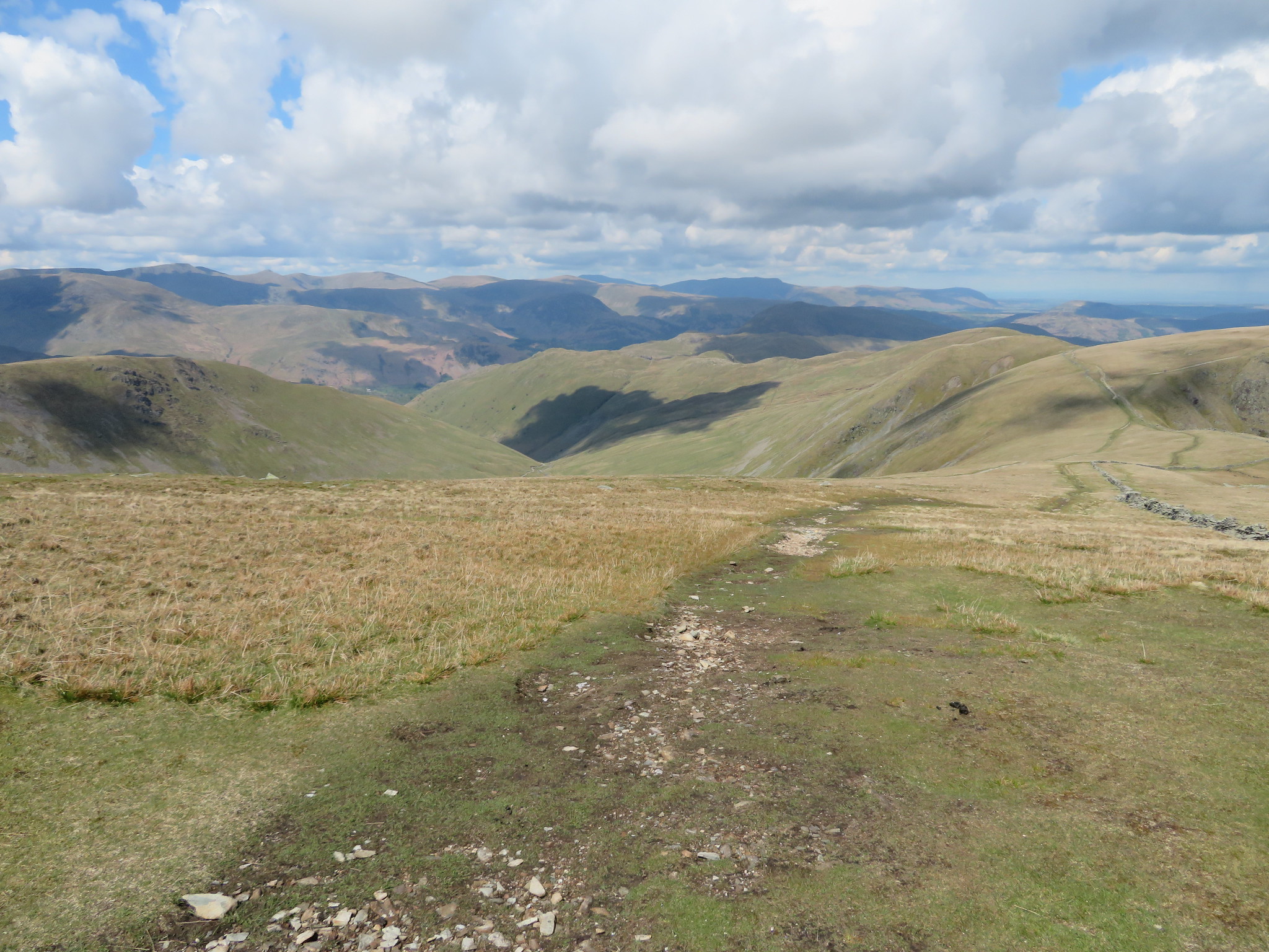 Northwest towards Patterdale's fine hills
  A view along Riggindale
 We are in the land of eagles past, a place where not only the Romans legions marched over this massive fell with their own personal eagle banners/standards carried by an aquilifer but a place where real live eagles used to live, soaring and gliding on the thermals high above keeping their wary eye on what went on below. Before they disappeared I had seen them both a few times flying overhead with massive wings outstretched catching the air currents that kept them aloft so effortlessly.
In the past when up there I would sometimes sit against the wall between Short Stile and Twopenny Crag looking along Riggindale and watching the eagles landing on Twopenny Crag keeping an eye on me and knowing that I could do them no harm. This is where E and I stopped for a bite to eat and wishing that we could once again see those magnificent birds.
 Twopenny Crag and Kidsty Pike
 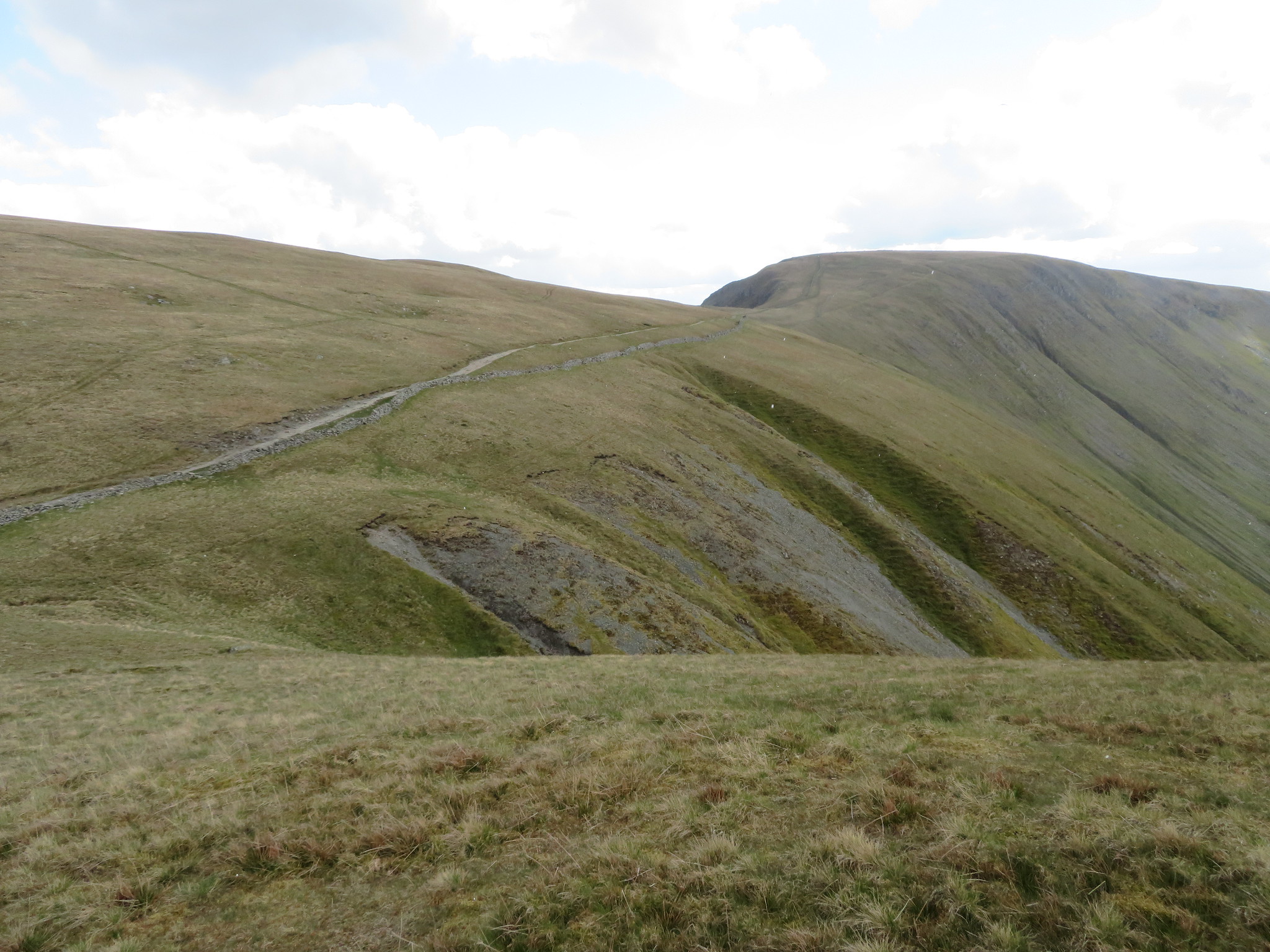 A view back to High Street
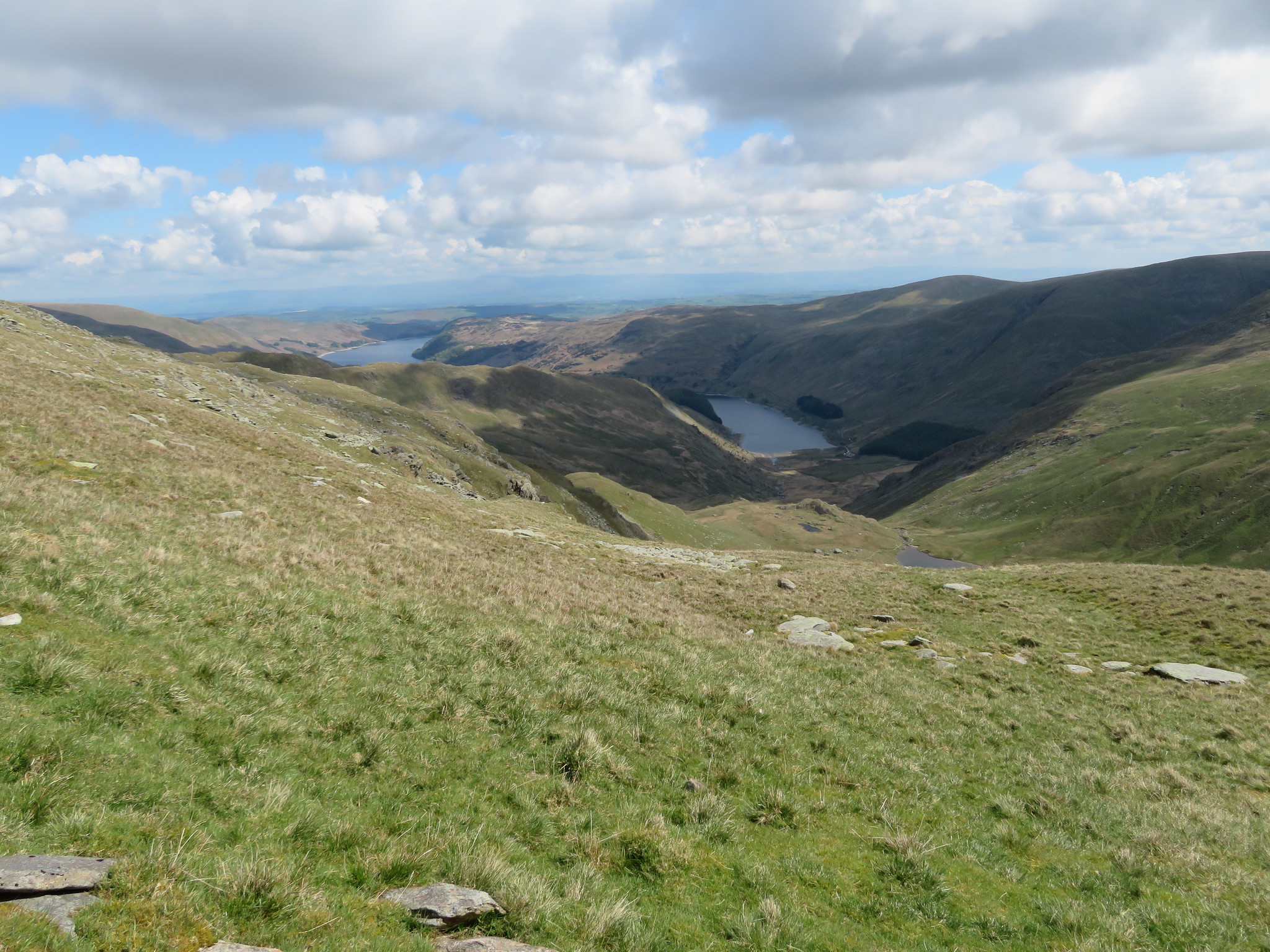
 Break over we continued along the Straits of Riggindale from where a short version of Hayeswater can be seen.
 Hayeswater with Thornthwaite Crag - Gray Crag and Caudale Moor behind
 We met a walker who was asking the way to The Knott and the Angletarn Pikes and as we were going his way we decided to nip onto The Knott with him and point out the various peaks that he was asking about. It can be seen by the clothes that E is wearing just how cold it was.
 Elizabeth on The Knott with High Street and Thornthwaite Crag behind
 From here we were going for Kidsty Pike but then decided to take a walk over to Rampsgill Head.
 The path to Rampsgill Head
  Rampsgill Head and High Raise from The Knott
 There was quite a crowd on The Knott resting up and enjoying the views despite the cold wind and we had a chat with two of them whilst watching the hang gliders hurling themselves off Kidsty Pike then soaring like the eagles before them. Leaving them behind to their own plans we set off for Rampsgill Head taking the easy gradient opposite The Knott and as we passed across I couldn't help but take a photo to join the many others that I have taken of this very same scene.
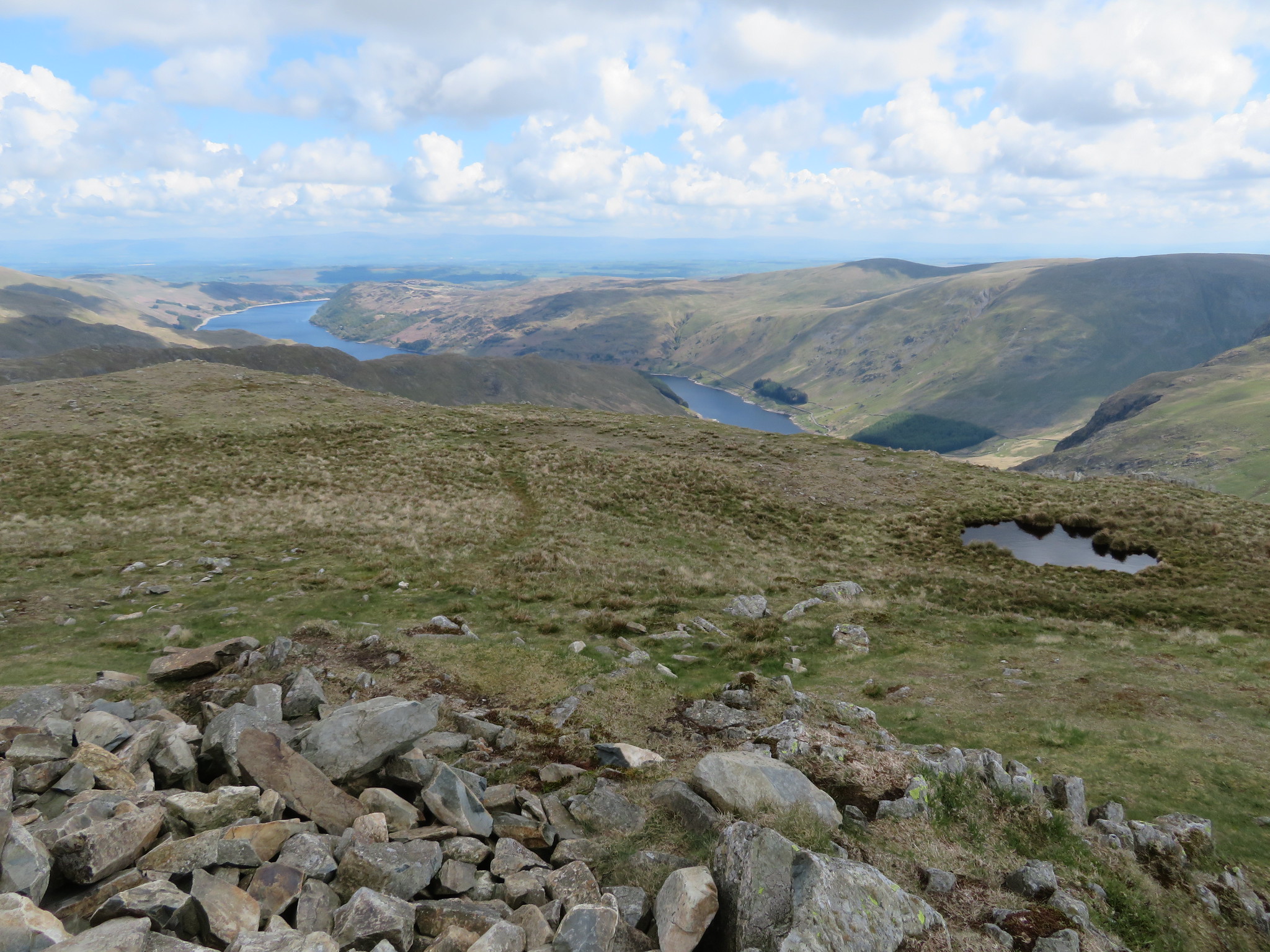
Ramps Gill and Martindale nestled between Rest Dodd and The Nab to the west and the continuation of High Street to the east as it passes over Red Crag, Wether Hill and Loadpot Hill with the lower ridge of Steel Knotts - aka Pikeawassa - and Brownthwaite Crag separating Fusedale from Martindale. The remaining fells to be seen are too numerous to name here but we could see as far as the Pennines sitting just below the cloud cover. A most satisfying scene indeed.
 A view along Ramps Gill and Martindale
 Another similar shot taking in more of the fells to the west and northwest with the red roofs of the old gamekeepers houses at the head of Martindale clearly in view.
 Rest Dodd and The Nab
 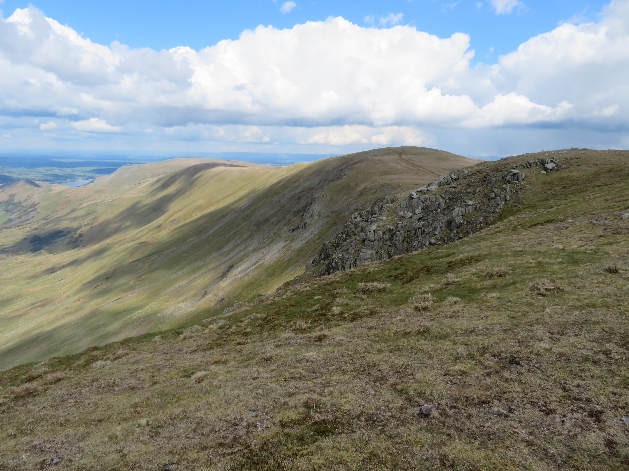 High Raise to Wether Hill ridge
 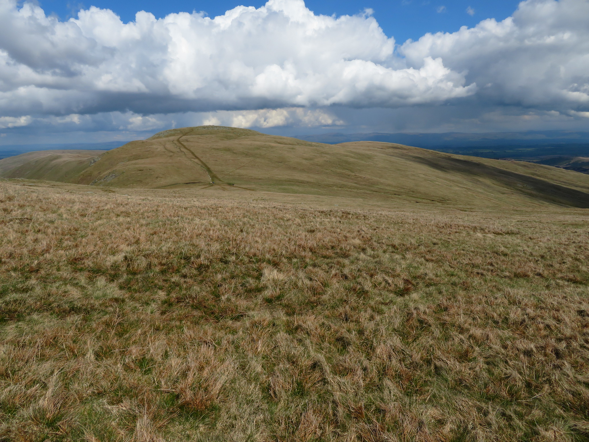 High Raise and Low Raise
 We left this place of great views and it was my intention to take in High Raise but E put a block on that as she felt that she had done enough climbing for today and the luxury of a downhill walk overtook the desire to climb another fell so we veered off towards Kidsty Pike…
 Kidsty Pike
 along the grassy paths to soon arrive at this 780 metre bump on the ridge with its rocky little top overhanging into Riggindale.
 High Street - Harter Fell - Branstree
 Another multitude of fells came into view as we looked east and south across the wide expanse of Riggindale.
 Riggindale with Selside Pike and Branstree behind
  East towards Kidsty Howes
 From here it is a long drop off down to Haweswater and can be quite tiring on the legs, something that you don't want when scrambling down the rough path of Kidsty Howes.
 Approaching Kidsty Howes
 And looking back.
 The ridge path to Kidsty Pike
 It's quite a walk down to Kidsty Howes from its big brother and it took us all of 25 minutes with a bit of lingering for photos to reach the up thrust of rock that marks the eastern end of this long ridge.
 Kidsty Howes with Selside Pike - High Howes and Branstree behind
 The path through the crag is a bit rough in places and anyone of a cautious nature may want to take the alternative one - as E did - that swings around to the left prior to taking the direct route through the crag. The views are no less inspiring than anywhere else on the walk.
 The Rigg from Kidsty Howes
 As mentioned E elected not to go the rougher way down through the crags of Kidsty Howe …
 Some mild scrambling in places
 where there are one or two trickier bits for those who are not surefooted enough to manage it whilst E mentioned that the alternative way was fine.
From the crag it's quite a steep walk down on short grass that can be slippery in places but we got down without incident soon reaching the cove of Haweswater that lies between Speaking Crag and The Rigg.
 A view back to Kidsty Pike and Kidsty Howes
 The bright sunlight belies the real nature of the day that in reality was quite cold due to the strong breeze but it didn't detract from the lovely view across Haweswater.
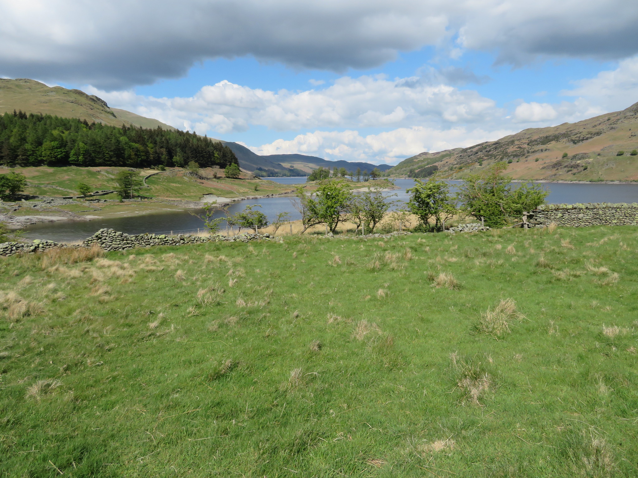 A Haweswater view from the mouth of Riggindale
 All that was required now was the stroll back along the path above Haweswater…
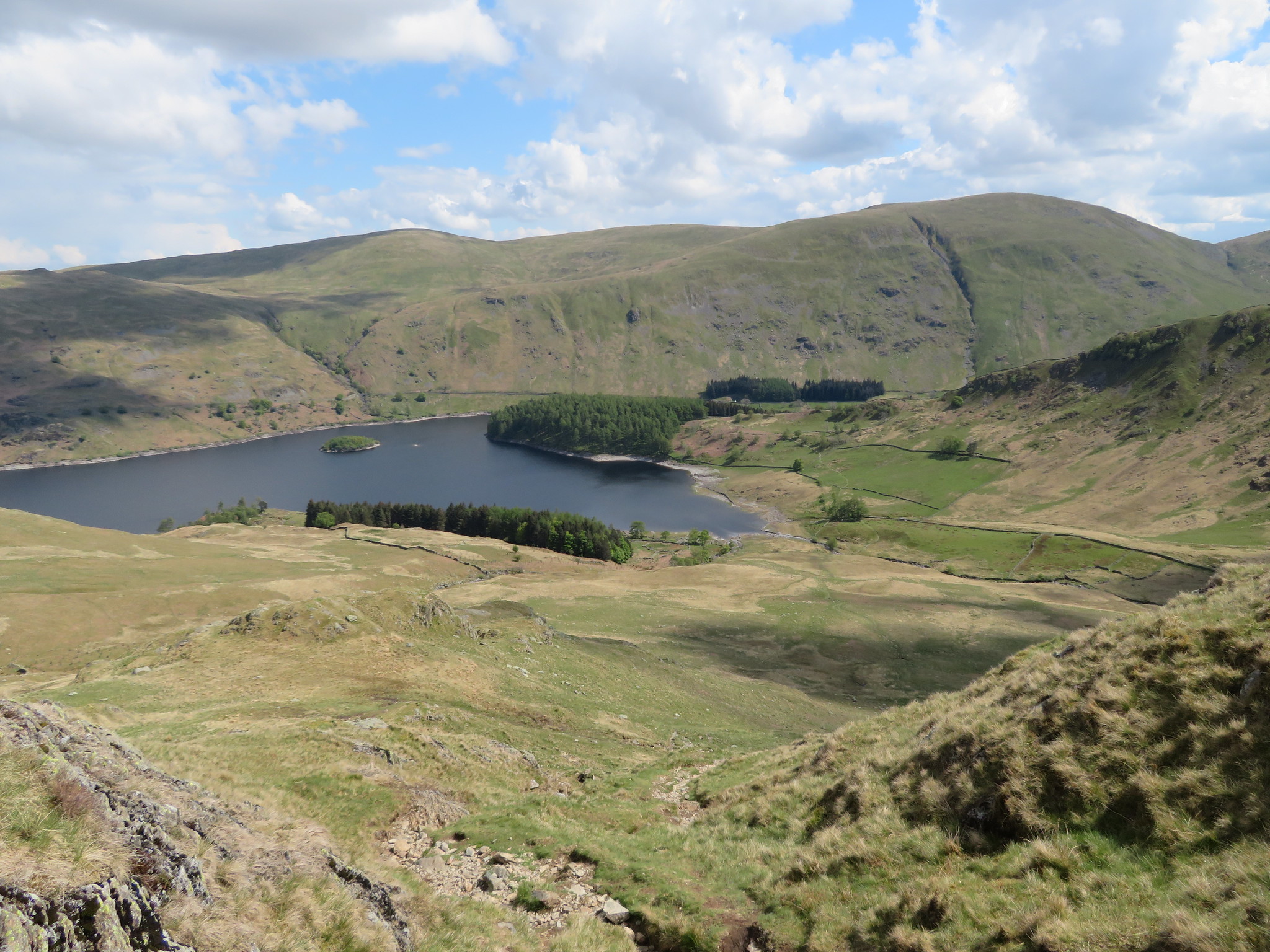
 Harter Fell across Haweswater
 before taking the short cut across the head of it to cross over the shallows of Mardale Beck to make the short climb back to the car. A decent walk that I have done many times and reported on WH in the past so apologies for that but light and weather do make a big difference to a view so maybe something different can be taken from those that are shown here.
Another short trip now before parking up once again to enter that feeling of going back into the era of Poirot and bumping into him as we stepped into the bar of the Haweswater Hotel with its 1930's theme and décor. It's one failing is that it only has lager on draught, if you want beer it's there, but it's bottled, apart from that it's a fine place to end a walk quaffing a drink whilst enjoying the views along Haweswater itself.