free to be able to rate and comment on reports (as well as access 1:25000 mapping).
It's the time of the year when Chris and I make our annual 4 days pilgrimage to Wasdale where we base ourselves at Burnthwaite Farm at the head of the valley, a chance to get some proper man time, a few shave free days without the wife telling you how untidy and grizzly you look, into the pub dirty and sweaty after a long walk, drinking and eating and staying as long as they'll let you, then a sway and a stagger with a song in the air as we make the half mile walk back to base.
Yes, it's 4 whole days of sap draining toil amongst the mighty fells around the beautiful Wasdale, well it's three really as whilst on our way there we turned off the main road to take the back one to Loweswater from where we would start our week with a climb up onto Hen Comb and Mellbreak. Our choice of start was not to be from Maggie's Bridge, but Church Bridge, that is just behind the Kirkstile Inn and leads you onto a small and well maintained car park - NY140 208 - and large enough for maybe 6 cars.
 Car park at Church Bridge behind the Kirkstile Inn
 The weather, true to the forecast was warm, bright, and sunny, although there were plenty of clouds swarming about, some of them an ominous black in colour that we hoped didn't ruin what we had plans for. As soon as we stepped out of the car one of our targets was right before us although it was to be second on the list of tops today, Mellbreak, showing us its rough and rugged northern aspect with its girdle of reddish brown scree slopes and similar thin fingers of the same that traced the paths and struggle in store for those who elect to climb to its summit by this route. I have been that way on a couple of occasions but today we are going the easy route by taking it on from its south slopes after we leave Hen Comb. At this time of the day - 9:18am - Mellbreak was dark and gloomy not looking at all enticing for anyone going that way…
 The north scree slopes of Mellbreak - early morning
whilst in mid- afternoon it looks a far better proposition as a way to go.
 Mellbreak in afternoon sunshine
 We were soon off along the wide and stony lane passing Kirkhead and Kirkgate Farm where we passed through the farmyard…
 Passing through Kirkgate Farm's yard
 to continue along its fairly long stretch of lane and passing a house with a multitude of colourful rhododendrons amongst its shrubbery…
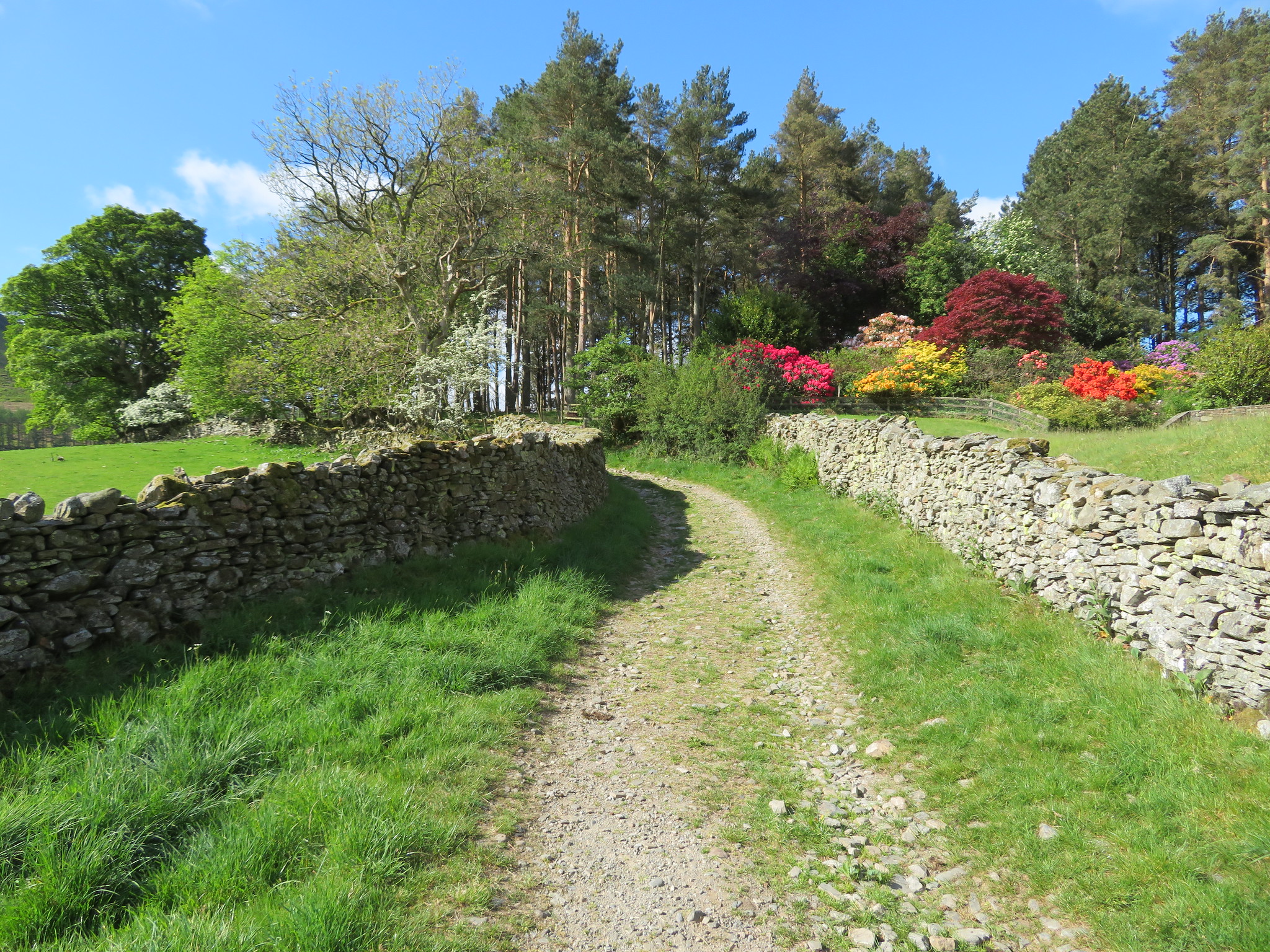 A mass of colourful rhododendrons
 whilst over the left hand wall we had a good view of the fells across Crummock Water…
 Whiteside - Grasmoor - Whiteless Pike across Crummock Water
 and also a closer look at the dark crags of Mellbreak…
 Another view of Mellbreak behind Flass Wood
 before arriving at a wide gate from where one track leads forwards towards Mosedale and the foot of Mellbreak but from where we would take a right turn to follow the wall alongside the plantation of pine trees that smelled sweet and fresh in the spring air.
 The path to Mellbreak
 We followed the wall as it left the main Mosedale track and turned down towards Mosedale Beck from where we got our first look at our first fells of the day.
 Little Dodd and Hen Comb
 The short and narrow path led us down to the stepping stone crossing…
 Crossing Mosedale Beck
 and the narrow path that climbed easily up the fellside.
 A steady climb up from Mosedale Beck
About half way up the climb to the start of the ridge path we came across a small patch of bluebells growing amongst the dead bracken and although they are by nature woodland dwelling flowers it appears that they are comfortable amongst the bracken as when it grows it throws enough shade on the bluebells to allow them to thrive in the alternative woodland environment.
 A patch of bluebells at the foot of Little Dodd
 Once the ridge had been reached we followed a good track all the way up to the eastern side of Little Dodd…
 Good track up to the Birkett of Little Dodd
 and from where we had a good view of the fells behind Loweswater…
 Along the lower ridge towards Low Fell and Darling Fell
 then a climb over a wooden step stile and a short stroll up the grassy bank soon had us at the summit of this Birkett with its cairn of about five small stones.
 Hen Comb from Little Dodd summit - Starling Dodd and Great Borne behind
 Good but inhibited views are to be had with the promise of more when we reach the summit of Hen Comb.
 Lorton Vale and Low Fell from Little Dodd summit
 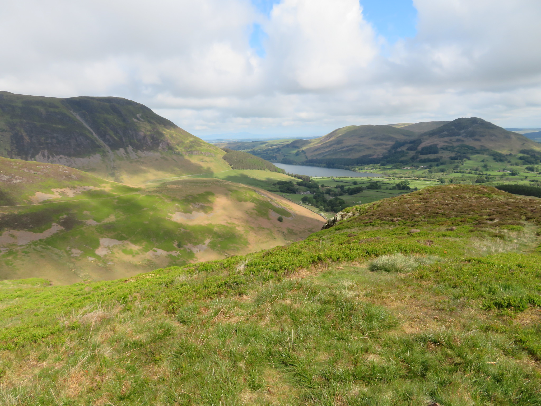 Carling Knott - Loweswater - Darling Fell and Low Fell
From Hen Comb the track wanders off to the left so we kept straight on to eventually pick up a thin path through the rough grass from where an abundance of cotton grass was growing endorsing how wet some areas of this fell is.
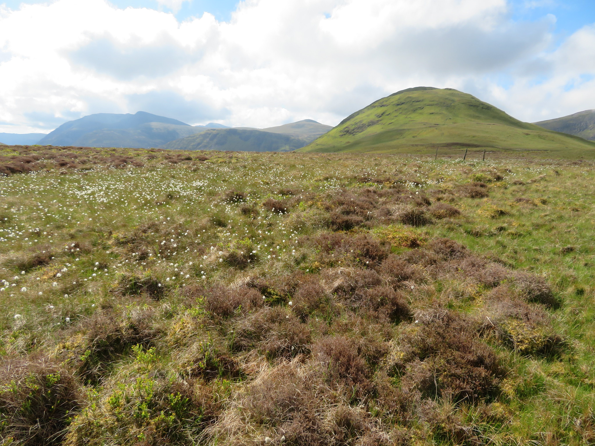 Cotton Grass on the lower slopes of Hen Comb
Just a little further on there is a fence with a broken stile but there was no trouble chucking a leg over it as previous walkers had squashed the wire down. The walking has been easy so far but the climb up to the summit of Hen Comb is quite steep but it does afford more open views.
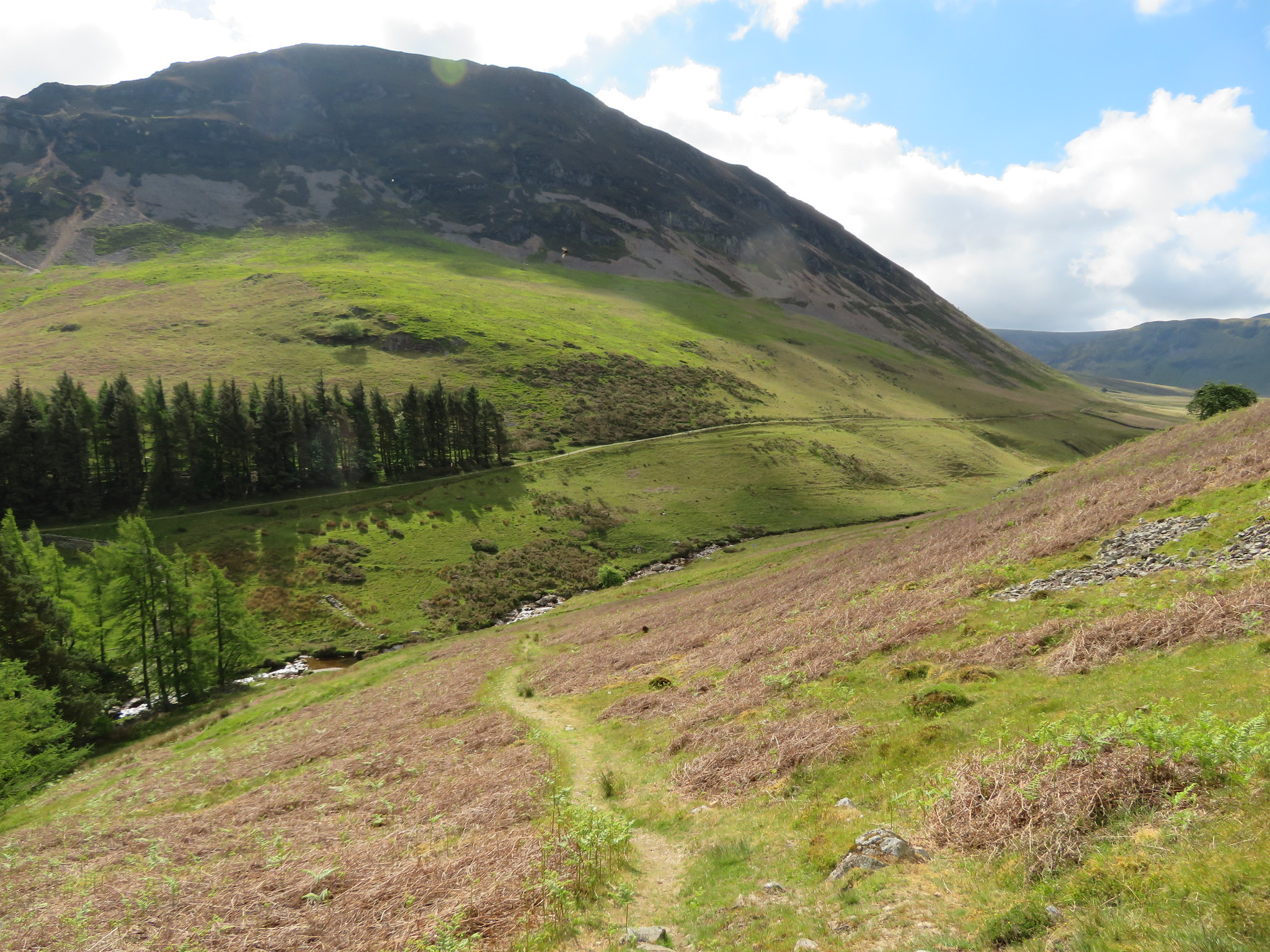
 A view along Mosedale into Lorton Vale
 This path starts off as bog standard stony but the higher slopes have steps cut into the ground by the kicking of toes into the steep slope. Nonetheless we were soon at the summit cairn from where Chris all but ruined the fantastic view across to Buttermere and its surrounding fells.
 A view over Buttermere from Hen Comb summit
  The Whiteside ridge - Grasmoor - Crag Hill - Whiteless Pike etc behind Mellbreak
 Now that we're up at the summit we could feel the chill in the breeze and we were glad that we both had on a top layer fleece.
As we looked to the southeast we could see clouds hanging over the High Stile ridge…
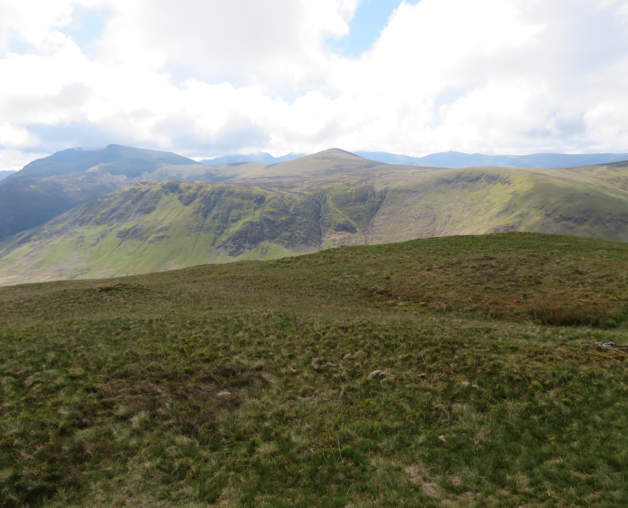 Starling Dodd with Red Pike and High Stile to the left
 and just at this moment we were glad that we weren't going too high today.
It was blowing cold and it was time to leave this place of wondrous views by way of the easy slopes of the south ridge…
 Descending the easy south slopes of Hen Comb
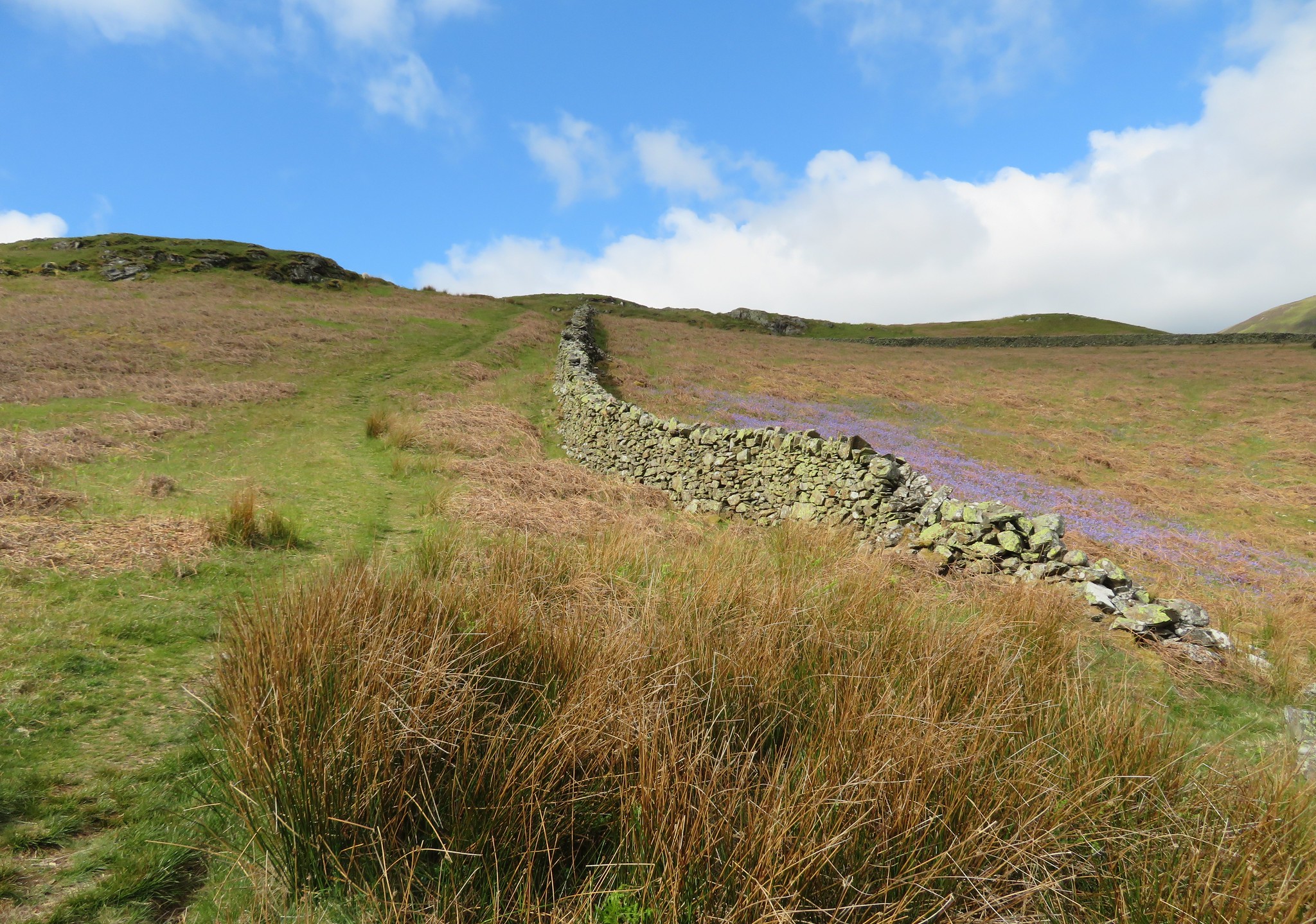
 the intention being to drop down to the Floutern Pass and follow the damp path to near Black Beck from where would start the climb onto Mellbreak by its south ridge but at the 400 metre - or near enough - there is a path that cuts off to the east/southeast gently losing height and then making a turn back to the north following a higher line above Mosedale. At the point where the path turned we made our way down the now pathless slopes to cross the main path that runs first along the west side of Mosedale Beck before crossing over to the east further along the dale. We continued on in an easterly direction making our way through the rough hummocks of grass and rushes and although it is gentle gradient from Mosedale Beck up to the south ridge path of Mellbreak it was fairly hard going over the rough ground but to our advantage the ground does appear to have dried out somewhat over the past few years.
This was probably not the easiest way to go but it was quicker than our original planned route via the usual paths along the bottom, and it was certainly drier.
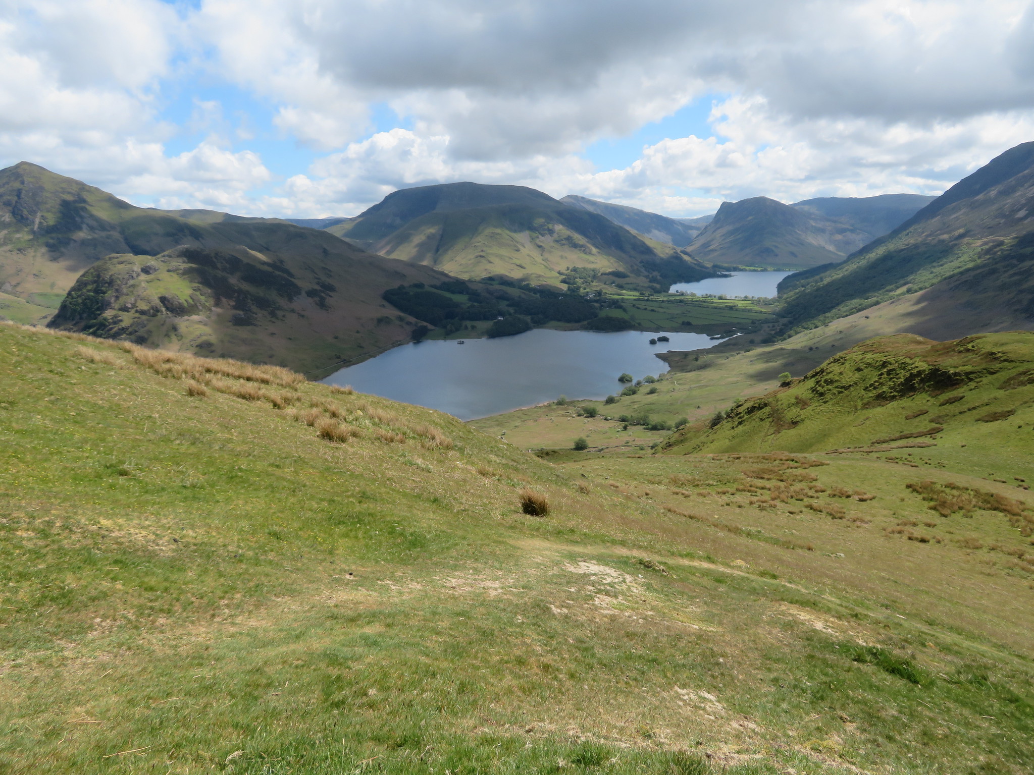 Crummock Water and Buttermere from the lower south slopes of Mellbreak
 Both of us could have done with a short break after doing knees up through that lot but decided to cart on until we reached an outcrop of rock at about the 450 metre line that affords a seat and good views over Crummock Water and Buttermere.
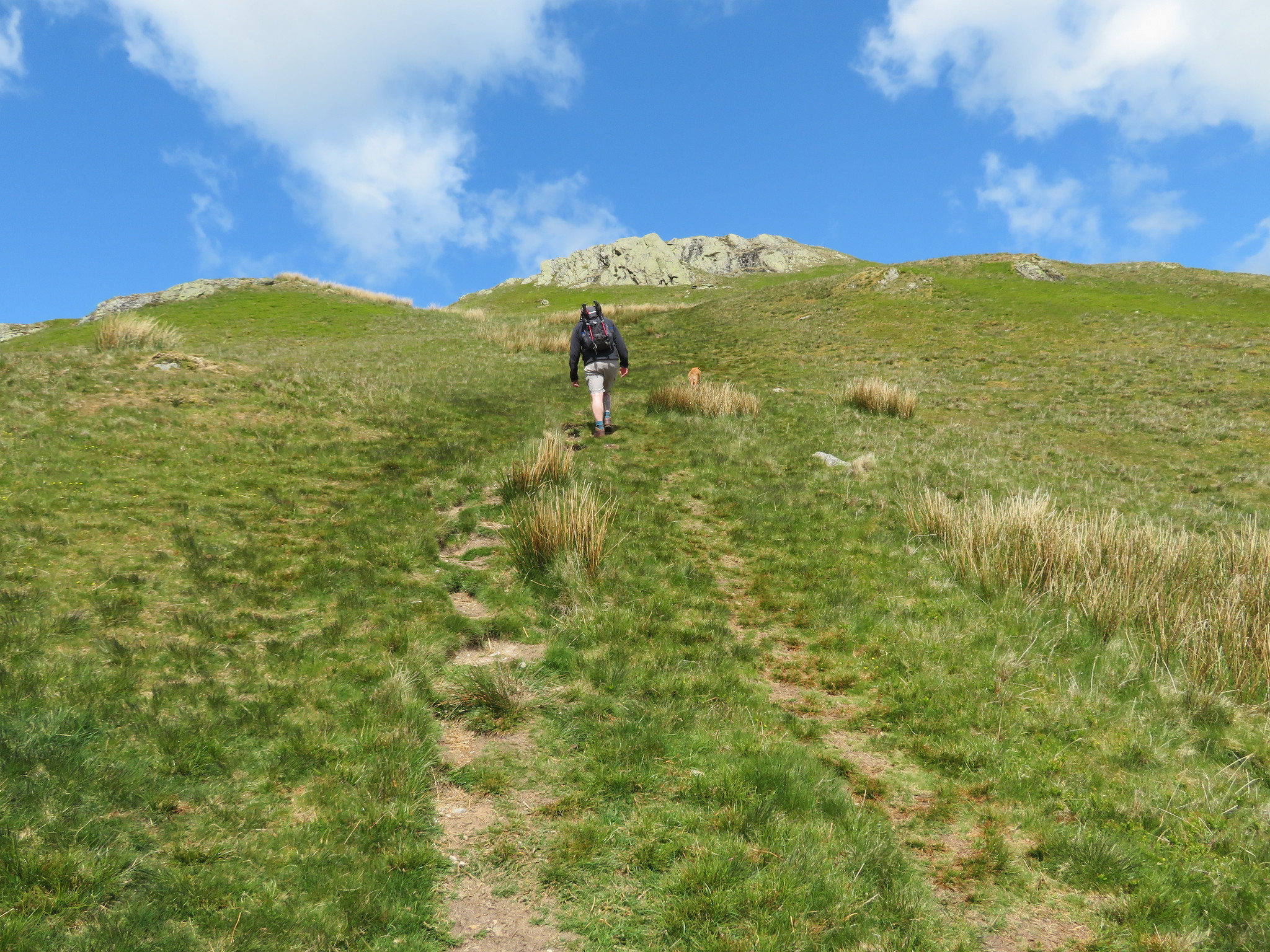 Ascending the south slope of Mellbreak
 The path up to this point is fairly easy going but we were ready for a sit down and a refuel in the shelter of the small crag from the cold breeze, feeling all the colder as we cooled down from the efforts of walking. We enjoyed the views whilst taking a break and could see that Buttermere was busy by the number of cars parked up along the road near the church. Oh the joys of being here in the peace and quiet.
 Starling Dodd - Red Pike and High Stile with Pillar behind
  Grasmoor - Wandhope - Whiteless Pike - Rannerdale Knotts to name a few
 Moving on once more we met steeper slopes before they eased off again as we approached an up thrust of grey rock inlaid with chunks of white quartz, quite unlike anything else around here including the 512 metre high and mundane south summit that is just a few metres further along the ridge.
 Quartz streaked rock near the south summit
 Although this is the main and highest summit at 512 metres and the views are wonderful we didn't linger as we made our way along the meandering path that roughly follows the ridge, first dropping down into a great depression before making another easy climb onto the 509 metre high north top making a difference of only 3 metres between the two.
 Leaving the south summit for the north one
 It's a tossup which has the better views, and I'm sure that opinions vary greatly between the mountain views to the south or the wide open panorama towards the north and Scotland. Myself, I love it all and today all three stretches of water that can be seen from this fell are coloured a deep blue, a reflection from the sky that does much to enhance the beauty of both scenes.
 Loweswater and fells from Mellbreak North summit
  Hen Comb with Gavel Fell and Burnbank Fell behind
  A handful of North Western Fells from Mellbreak North Top
 Lorton Vale lying between Whiteside and the Loweswater Fells looks particularly handsome today as its verdant green pastures are enhanced in a swathe of sunlight.
 Lorton Vale
 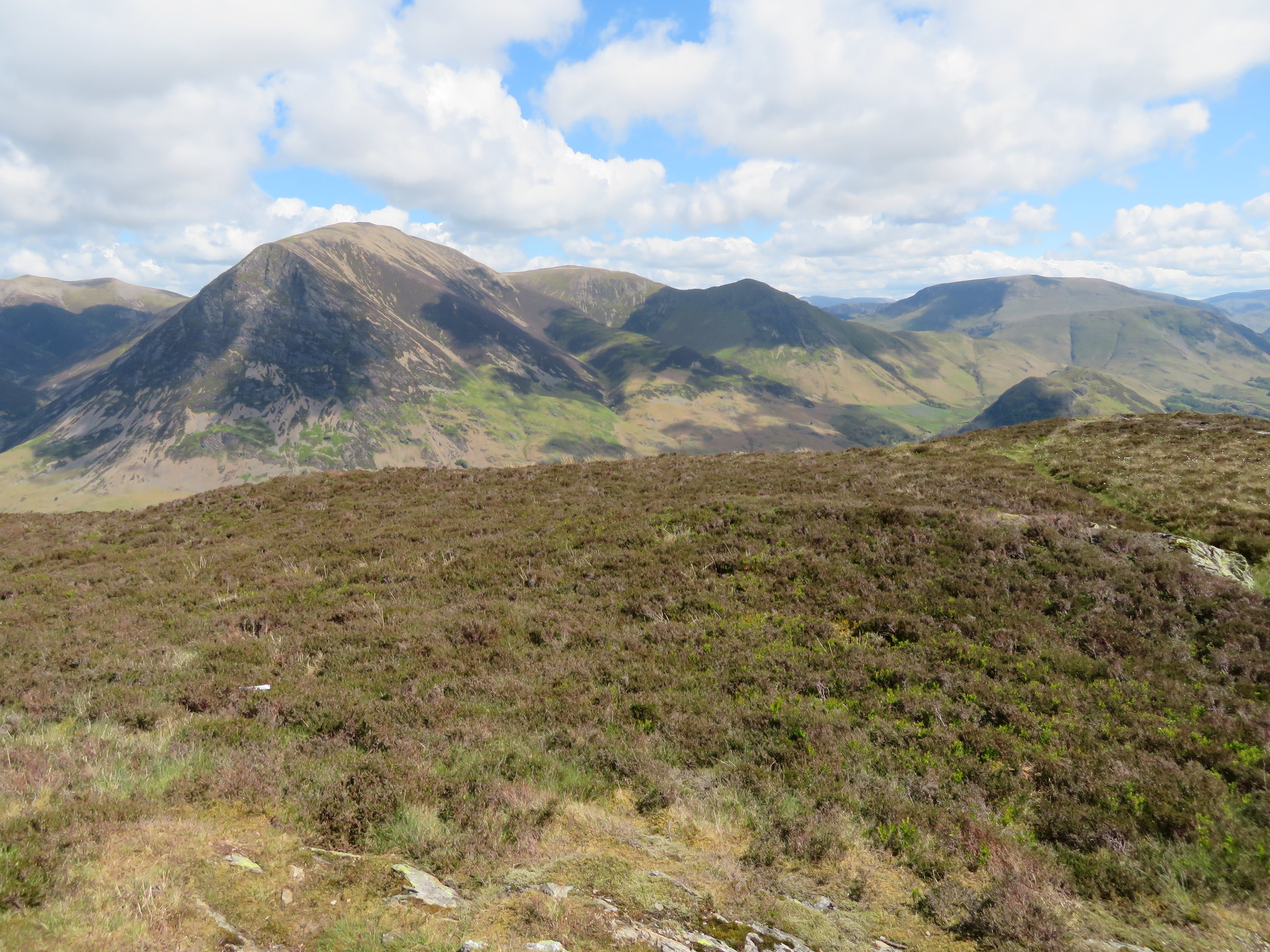 Grasmoor - Wandhope - Whiteless Pike and Robinson
 Before we leave this wonderful view point there is one photo that must be taken.
 Man and dog at Mellbreak North Top
Unfortunately we had to leave as we still had a way to walk back to the car and then a fairly long drive down to Wasdale and as we are not leaving by the scree route down the north face we retraced our steps to the 447 metre lowest point of the fell…
 Mellbreak South Top
 and took the very steep and slippery path down into Mosedale where we had a moment of steadying the legs and a drink before starting the walk back along the good track.
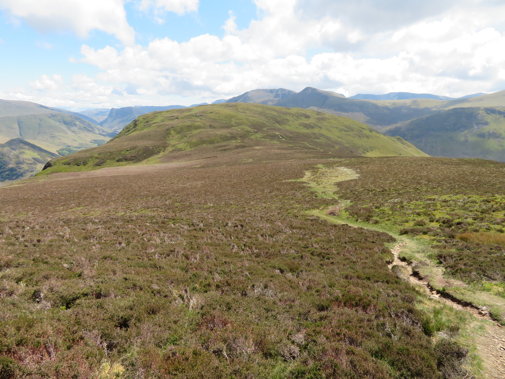
 Hen Comb from Mosedale
 Having a break after the descent
 From where we sitting we could see the famed Mosedale Holly Tree and although I would have liked to get closer to it I wasn't going to start walking backwards at this time of day so a long shot would have to do. It must have a hard life here as it doesn't appear to have grown much over the years.
 The Mosedale Holly Tree
 Walking along Mosedale is a great way to end a walk as the track is good and wide with easy walking all the way back to the car park. An added bonus of course is the peace and quiet of the dale as we followed Mosedale Beck with the green slopes of Hen Comb to our left and the rougher ones of Mellbreak above us to our right. There was neither man nor beast to interrupt our walk along this peaceful way.
 Walking along Mosedale
  Mosedale
 It wasn't too long before we were back at the foot of the north end of Mellbreak where there was a hive of activity due to fencing contractors replacing the fence around Flass Wood and its adjacent pine trees.
 Fencing contractor at Flass Wood below Mellbreak
 A short walk down through the trees soon had us back on the lane of our outward journey from where some of the Western and North Western Fells can be seen.
 Low Fell and Darling Fell
  Whiteside and Grasmoor
 I couldn't resist but take a photo of this Hawthorn - Mayflower - in full bloom just before we arrived back at Kirkgate Farm…
 Mayflower
 and then the car with the Kirkstile Inn looking very tempting with customers sat around the outside tables, but we have a way to drive yet and although it wasn't too late in the afternoon we wanted to make haste and get to Wasdale as soon as possible as our next intentions were to be a shower and then refreshments at the Wasdale Head Inn.
The drive into Wasdale is always a moment of joy as the mountains stand before and around you with that great stretch of Wast Water making it even more picturesque. It's always a great feeling for me and will never forget the first time that I feasted my eyes along the valley as I drove in, it was awesome.
During the last week I did three walks, two of which were quite arduous, plus an easy one yesterday - the Monday - leading a group over Selside Pike and Branstree via the Old Corpse Road - I'm not looking for points here - and I'm also on antibiotics which have sort of upset my stomach somewhat, and although I have not been too bad today a combination of the previous walks and the antibiotics are relevant to making the next two days change for the worse. I often wonder why now in 2019 they can't make a tablet that doesn't require humping a Portaloo around with you across the fells and mountains, and I still have a week to go on the damn things. But withstanding slight stomach worries this has been a great walk, first time for Chris and a long awaited revisit for myself.
We passed 4 walkers on Mellbreak and saw a few others in the distance so this has been a nice peaceful day out on some fine hills. Sunny and warm where sheltered, sunny and cold on the open ridges but, dry all day with the next few days forecast as similar.
