free to be able to rate and comment on reports (as well as access 1:25000 mapping).
Seat Robert is a walk for an afternoon out in the lower fells and despite its 515 metre height its summit is reached by a mere 317 metres - 1,040 feet - of climbing from the hamlet of Keld that lies beneath its larger companion of Shap and from where the remains of Shap Abbey can also be reached by taking just a short walk across the fields in a north westerly direction.
This will be my third visit to this grassy hill, the first on a scorching day when I decided to complete the Birkett's in that area taking in a long circuit from Wet Sleddale Reservoir that took me as far as Harrop Pike, Ulthwaite Rigg and then the climb back up to Swindale Common and Ralfland Forest and the final Birkett's of that area. The second time was from Keld last January with E when the weather turned bad with wind, fog, and heavy drizzle starting as we began to cross the fell after leaving Keld Lane, and the third time - again from Keld - was about 2 weeks ago when I returned with a friend of mine on a decent enough but cloudy day accompanied with a cool breeze.
Ralfland Forest is not a forest at all but purely a large expanse of fell/moor/common land - call it what you will - that because of the abundance of deer and other game that roamed in that area and others like it centuries ago it was named as such by the then monarchs so that the commoners of the day couldn't themselves partake in a bit of hunting so depriving them of a bite of meat in their diet. Being caught in the act of hunting would result in execution or maybe if lucky and on a good humour day for the boss man just losing a hand would suffice and be deemed as justice done and also served as a stark warning to other erstwhile poachers.
We reached Keld by driving along the narrow metalled lanes from the A6 that runs through Shap and is initially signposted for Shap Abbey but after a good few metres a sign asking you to bear left will put you on the lane that drops down to Keld that overlooks the River Lowther. After a short but twisting drive Keld is arrived at and just past the last house there is an area of good level parking space at NY55212 14352 just to the left of Keld Lane, the metalled lane that goes to Tailbert and crosses the United Utilities service road that is about a kilometre away further up Lanshaw Hill. This utilities road was constructed to allow the transporting of materials needed for the construction of the Haweswater Reservoir that was begun in 1929 and finally completed in 1935. As the surrounding lanes were too narrow and winding and weren't capable of handling the large amount and size of traffic that would be required to transport labour and materials it was deemed necessary to build this dedicated road that begins on the A6 south of Shap and winds its way across the fells to drop into the head of Swindale, crossing over Swindale Beck to then climb out again to arrive at Burnbanks that was originally the site of the construction camp that was built to accommodate the workers in this isolated position.
Keld is a picturesque hamlet set in amongst fields and trees with the peaceful setting of grazing sheep along the banks of the River Lowther at its feet.
 The River Lowther at Keld below Shap
We started the walk by following the gently rising lane just west of south with a view of the old United Utilities bridge and open fells before us…
 Near the start of the walk
 and we first of all have something like 1.7 kilometres - 1 mile - of walking along this lane before we arrive at our point of departure from it. The lane is good and very easily graded and is all but straight apart from a gentle curve towards the west with a few grazing sheep amongst the rough grass of the surrounding fells. We disturbed a couple of skylarks that seem all too few nowadays and somewhere there was a curlew sending out its haunting cry. Towards the east we could see the Pennines whilst further round to the north the remains of the towered entrance of Shap Abbey is to be seen.
 The road ahead from near Lanshaw Sike
 As we ascended and neared our point of leaving the lane we could see the outline of the rocky outcrops of the Ladstones, Rowantree Crag, and Stone Howe on the southern skyline.
 Typical fellside greenery of the locality
It's good to be out in the peace and quiet of the fells on this cloudy but warm day that would slowly turn to a sunny one in part as the sun forced a few openings in the cloud cover. Within 20 minutes of easy walking and browsing the views around us we arrived at the point where we would leave the metalled lane and now take to the fellside tracks and paths.
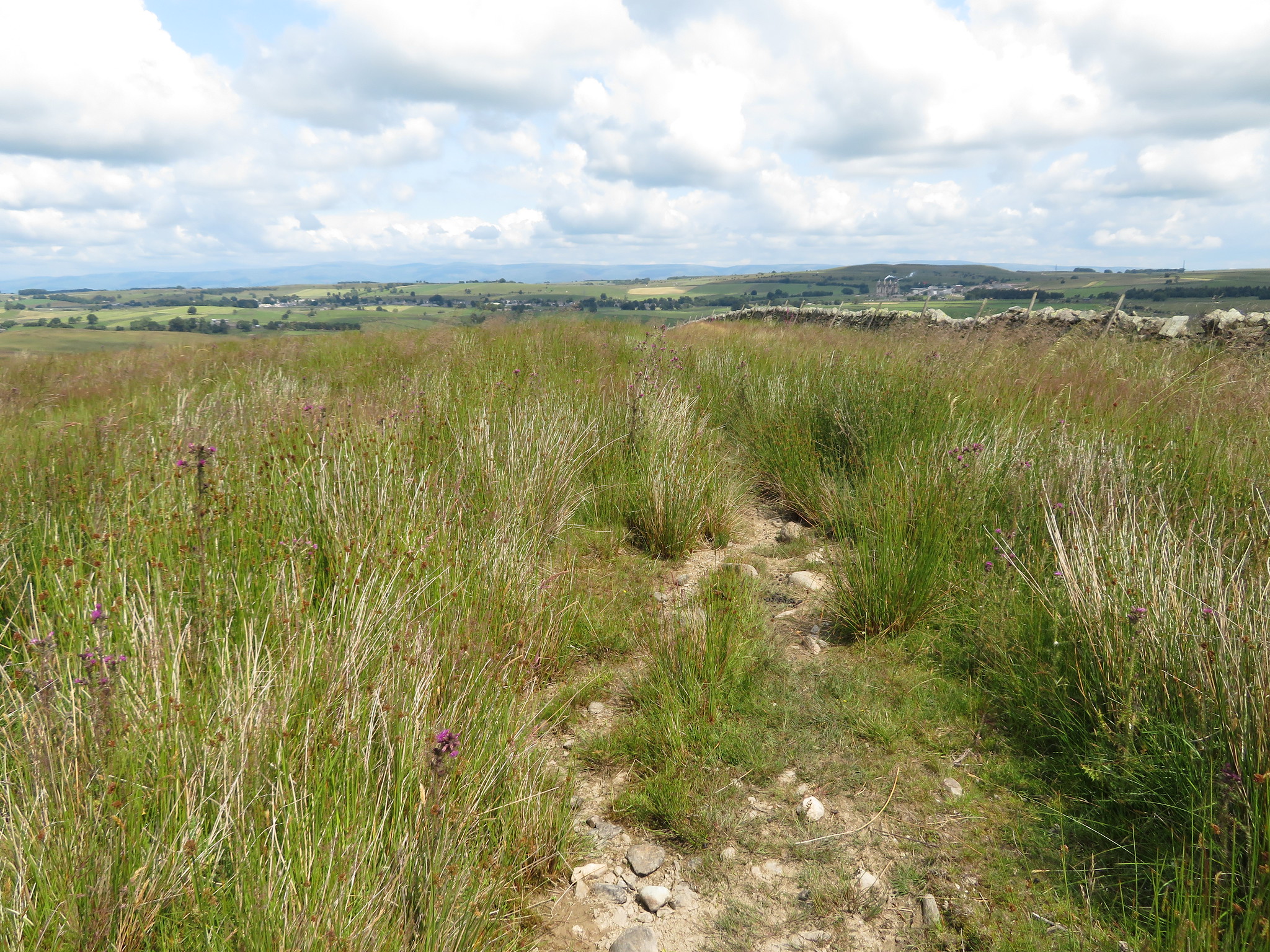
The track that was easily seen in winter is now harder to pick out as it looked as though it hadn't been used in a while but there was a faint sign of it leading off to the south as it climbed steadily away from the lane.
 Start of the track at NY53729 14376 from Keld Lane
 Within a few minutes the track became more visible and remains so for the whole of the climb up to Seat Robert apart from an odd place where it plays hide and seek as it crosses soft ground.
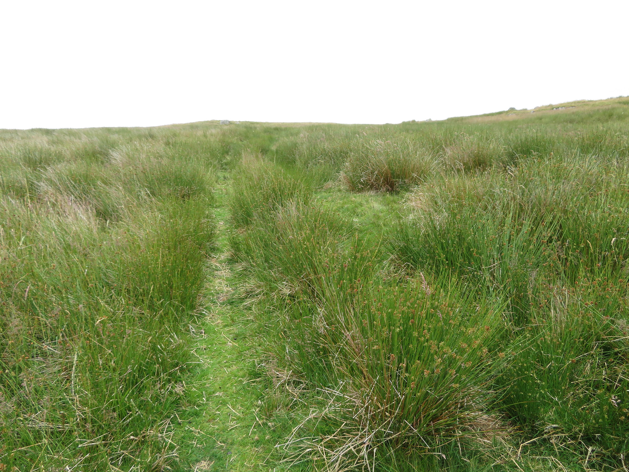 Quad bike track through the rushes
 This is a really easy walk with minimum of effort and as we ascended the fells and mountains around Haweswater came into view with Kidsty Pike looking like a mini Matterhorn in the distance whilst Selside Pike and Branstree would soon make an appearance.
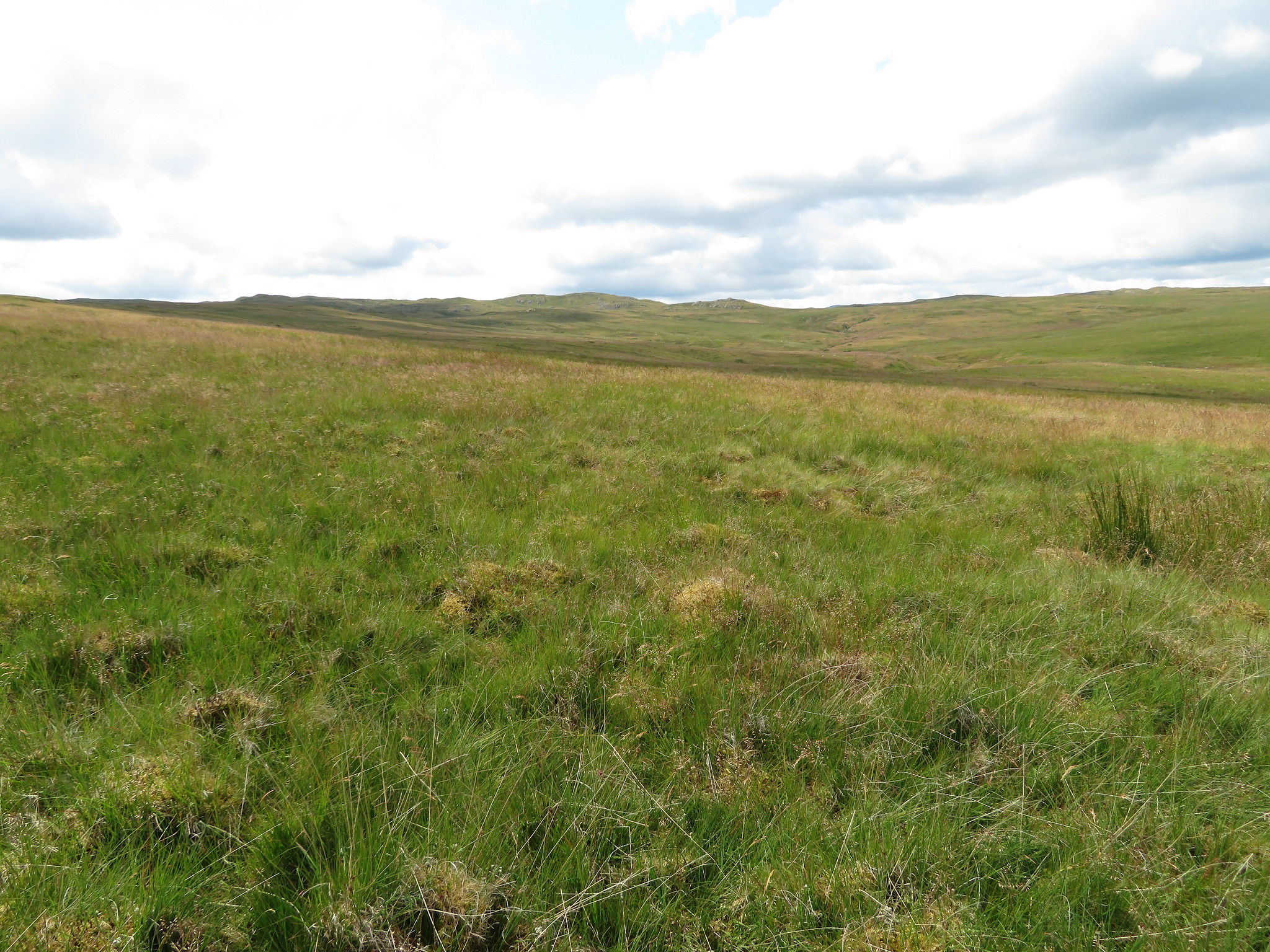
 Easy walking over grass
 As we walked the rocky knolls of Great and Little Ladstones grew ever larger in front of us and then before too many minutes we were at what I would describe as an ancient circular sheepfold at White Raise as it looks like the remains of an enclosure but is marked on the OS Map as cairns. Whatever it is, or was, it's ancient.
 Ye olde sheepfold on Ralfland Forest
 From the vicinity of White Crag a look back gave us a view across the Eden Valley and the Pennines.
 Looking back along the track
 The going underfoot is mostly firm with just a few soft places where the track fades away but after stopping and examining the ground it was usually picked up fairly easily again although in a few places where the quads have horsed through we found it better to detour around to avoid wet feet.
We were now closing in on Great Ladstones, a large green hump with various shapes of grey rock poking through its surface and a lone tree can be seen growing out of one of these crags.
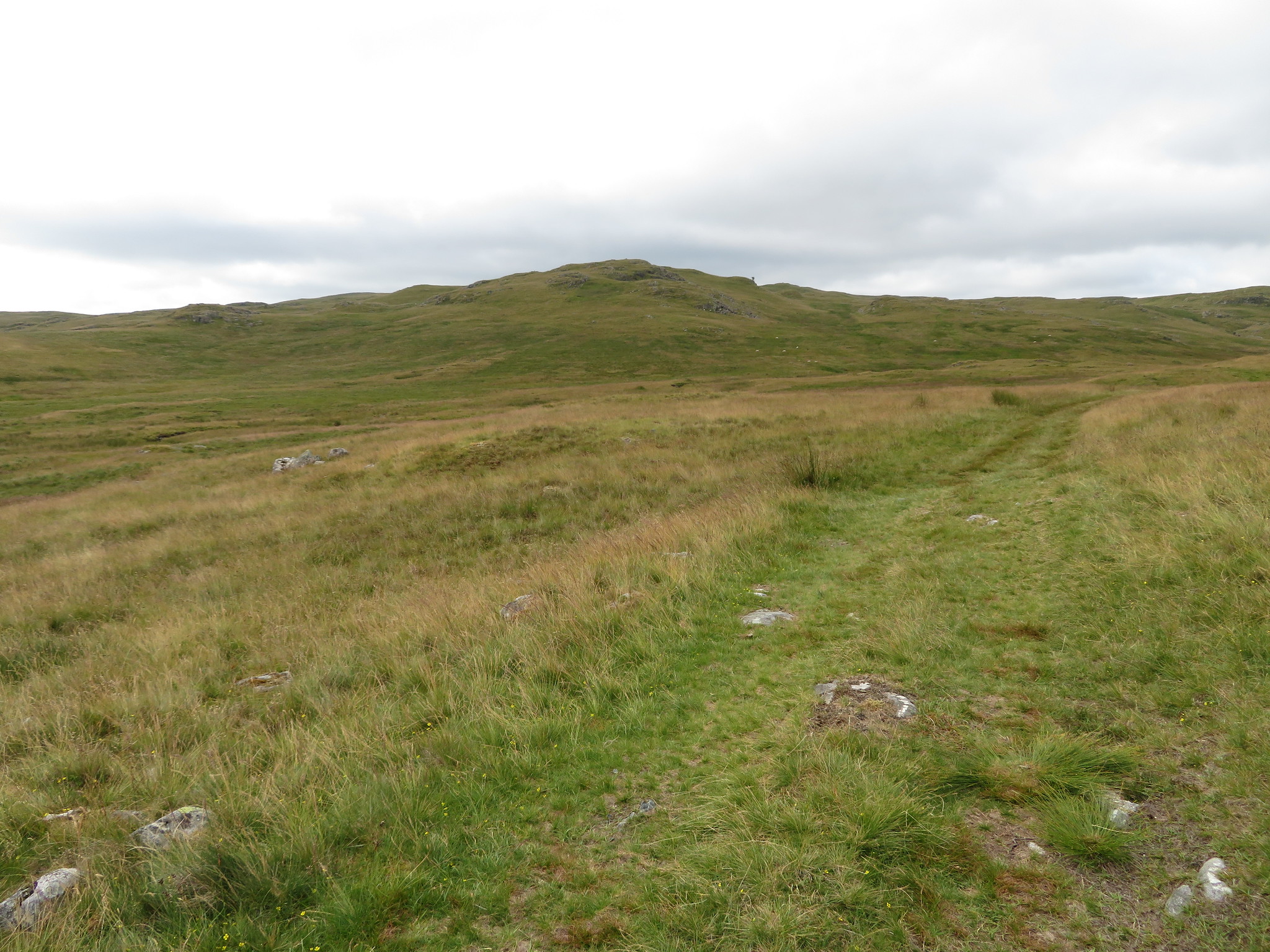 Seat Robert appears on the far horizon behind Great Ladstones
  Great Ladstones from Keld Gill
 The track runs along a rising grassy rake between Great Ladstones and Stone How…
 A short climb between Stone Howe and Great Ladstones
 but to do this we had to take a turn to the left - southwest - for a short distance to avoid a large area of very wet ground. Once at the top of the rise I stopped for another glance back and a swift photo that shows the naturally grown bonsai tree that was growing - seemingly - out of solid rock.
 A view back from Great Ladstones
Despite its roughness the grass looks lush and green with a fair amount of moorland plants growing amongst the grass, small pretty flowers of white, yellow, red, purple with even the grasses showing unglamorous flower of brown seed like heads, flowers whose names I have no idea of.
 Typical of the ground just around here
One flower that was particularly striking was the yellow one in the next photo, striking enough to make me search out its name.
 Narthecium ossifragum or Bog Asphodel
 Also known as Moor Gold it is found on wet, boggy, acidic moorlands up to around 1,000 metres and was used as an old traditional medicine to treat hernias, coughs, inflamed genitals - ouch - ulcers and spasms. The fruit also used to be used as an alternative to saffron to dye hair and cloth, also to be used in cooking. On the downside if eaten by sheep or cattle it can result in death due to it causing liver or kidney damage.
A few more minutes of easy walking and Seat Robert was now within our reach…
 Rolling grass lands on the approach to Seat Robert
and it's good to be able to see what's around us as last time it was just grey and drizzle but today all looks good. Once that we had reached the foot of Seat Robert it was nothing but a few paces to reach the top of this 515 metre - 1,689 feet - high Birkett with the number of 422 in the league table. It is a large grassy hill with a few rocks poking through its skin of green and sports a trig point ring with its brass datum set in concrete, large conical cairn, and a decent sized shelter, also a good view of the surrounding nearby mountains of the LD and the Shap Fells over to the east and south although visibility was not as clear as we would have liked it to be. Just to the west of Seat Robert there is to be seen marked on the OS Map a fairly substantial area of water that goes by the name of Haskew Tarn but it is now no more than an overgrown larger patch of lighter green than the surrounding area so I should imagine that if the tarn has dried up it is quite possible that Haskew Beck has also disappeared therefore depriving Swindale Beck of one of its sources of water.
 Seat Robert summit and trig point
 We had a refuelling break here from where we could enjoy the views in the solitude of these lonely fells and once we were ready for the off again we struck off to the south west on a faint path that would lead us to an old iron gate that we had to climb before we could access the path that runs through Mosedale from Longsleddale and into Wetsleddale via Sleddale Hall that is famed for its part played in the cult film 'Withnail and I' and visited by many devotees of the film. Every so often there is a camp over at the Hall from where fans get to quaff ale and the suchlike whilst they watch the film in the ultimate open-air cinema location.
 Through the gate for the Mosedale track
 The Mosedale track with a glimpse of Wet Sleddale Reservoir
 We made good time along this track and with Sleddale Beck running through the rocky cleft on our right and the fells of Shap rising behind there is plenty to look at as progress is made.
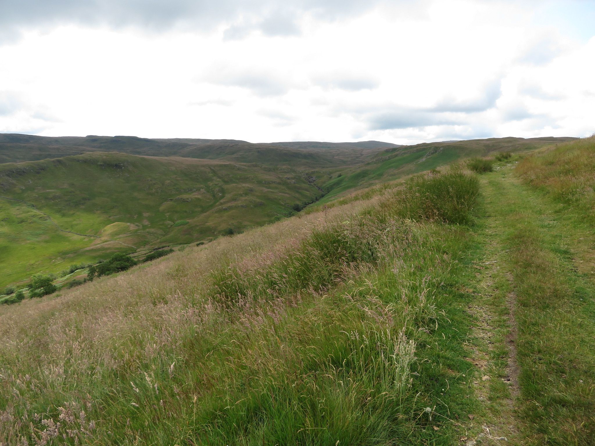 Across Sleddale Beck towards the Shap Fells
 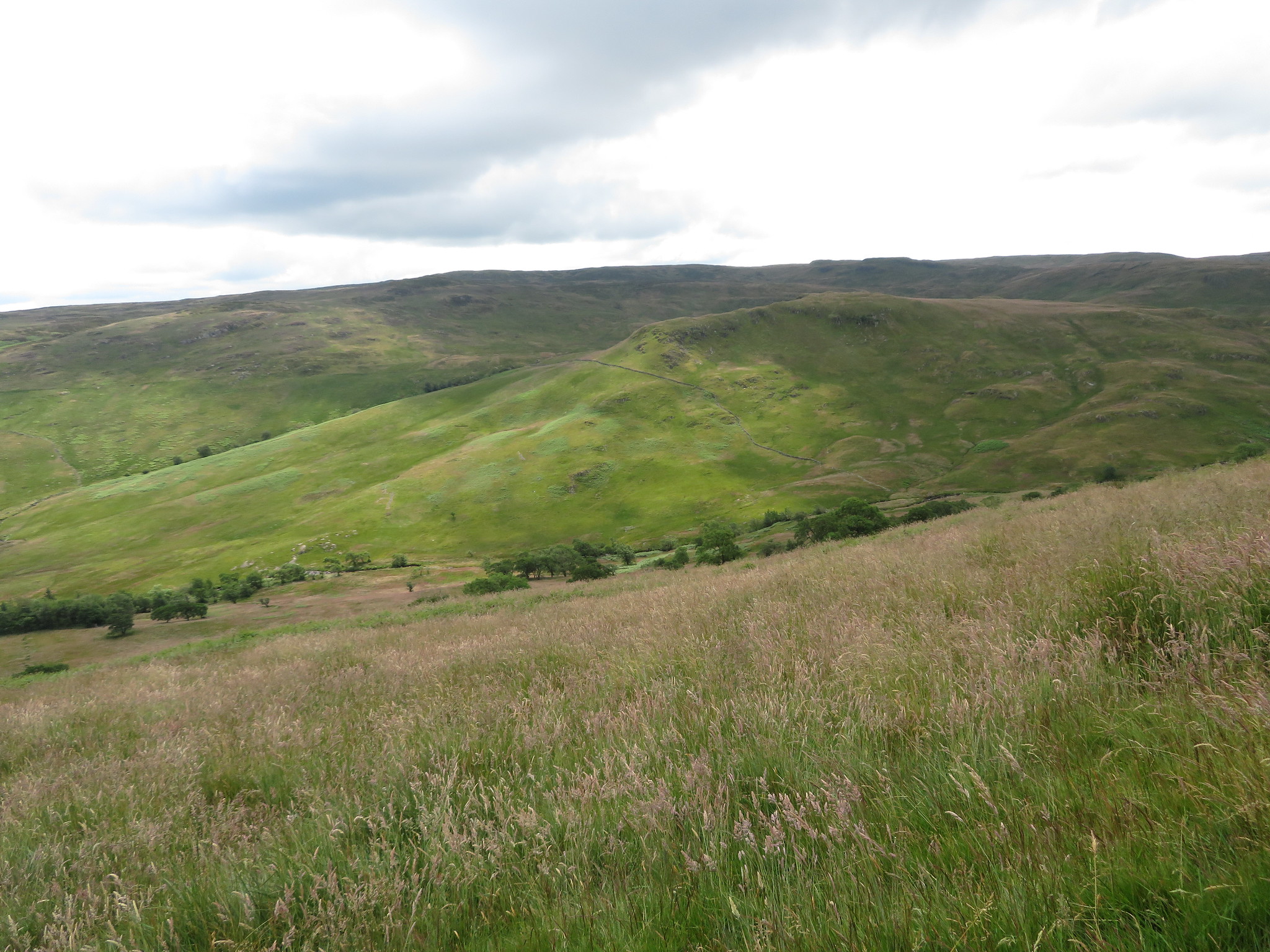 Tongue Rigg with Sleddale Pike behind
 It was possible to maintain a good steady pace along this old track and we were not very long in passing over the zigzag path that makes its way past Sleddale Hall from where one path continues on to Sleddale Grange and Green Farm then on to the metalled lane whilst the alternative is to continue to descend down into the valley bottom and follow the lower track that runs along the south side of the reservoir.
Just above Sleddale Hall there is an outcrop of light coloured rock rightly called White Crag and this is where we stopped for our second break of the day although it hadn't been too long ago that we had already had one. I think it was more a function of finishing off the food and drink rather than waste it as it certainly wasn't hunger that drove us to sit in a peaceful place with a great view of the Pennines.
 A Pennine view from White Crag
 After quite some time of chatting whilst sitting in the now glorious sunshine that was breaking through the clouds we reluctantly got our things together and continued on our walk to the northeast, one that was soon to head off to the north over slightly rougher ground that we were presently on.
From White Crag the track was now quite hard to define but we soon picked it up as it veered off to the right for a few metres to then appear as a rough track that was all but overgrown with rushes and long grass.
 Rough track above Stack House
 To get to this point we have passed by Peat Hill and Stackhouse Brow and if the OS Map is to be believed there is a path that runs roughly north through rough long grass towards Bleak Dod and Thornship Gill. The map lies, there is no path as E and I found out as we battered through long and rough grass, reeds, and rushes towards the old dam on Thornship Gill.
 Looking across to the Ladstones
  A view to the Pennines
 This time and in clearer weather it seemed prudent to continue on the old track alongside the wall as it at least got us nearer to a point where there would be less rough ground to walk across to reach the dam. We kept our eyes open for any signs of a path and had all but resigned ourselves to a bit of a rough walk when as we reached the wall corner we espied a narrow path heading in the right direction, a path of which we took full advantage of. The path curved its way steadily to the north and the dam…
 The dam on Thornship Gill below Reamer Bank
 where we ended up at a locked gate that could be easily climbed over to get into the shallow confines of the dam and then leave by a convenient track on the opposite side of the gill.
The iron work - railings, platforms and other bits and pieces looked as though they were kept in fair condition but the dam still had an air of abandonment about it as it didn't look as though it had been used in years.
As the path follows the fence down to the right and the gill there was no need to climb the gate but we did as we wanted to have a closer look from the inside.
 The small dam on Thornship Gill
 If the path is used to get around below the dam it is just a stride to get over the gill and then just a short walk up the banking to reach the United Utilities access track…
 On the last few metres back to Keld
 that is used to walk back to the metalled UU lane that we used at the start of the walk.
This has been an easy and enjoyable walk in good weather using mostly good tracks and paths with only a few places that were a bit spongy underfoot. There is a sense of remoteness in the silence of these fells and moors once the UU lane has been left behind with the only other signs of life being the odd skylark fluttering about and nary another soul did we see apart from someone at Sleddale Hall as we passed it by.
