free to be able to rate and comment on reports (as well as access 1:25000 mapping).
Another day where the cloud was down on the higher summits, and another route picked to give us both high and mid-level options. This walk starts from the south end of Skodderbergvatnet, at a track entrance opposite the Skodderberghytta hut. The track leads to some sort of military installation, but the path diverts off this after a few hundred metres. It becomes a forestry track for a bit, which ends as you round the corner into Runddalen. I had not anticipated what a fine spot this would be: a steep semicircle of cliffs with a trio of waterfalls pouring down them. The path heads towards the base of the left-hand falls, where there is a "postbox" with a log book. It now becomes very steep as it climbs the side of the falls, eventually crossing over them (would be impossible if water levels were high) before suddenly reaching level ground at a narrow lake.
Our high level option would have been to head right here to Trangdalsfjellet, but it was still in cloud and the terrain looked quite steep and complex. So we headed straight on: delightful easy walking on short turf along the shore of Langvatnet, before turning uphill to reach the minor summit of Butinden. More easy walking across slabby ground took us to the slightly higher Tverfjellet. The path continues to a viewpoint with another "postbox", overlooking our start point, where iy ends. However, a straightforward descent led us back to the top of the waterfalls and the steep descent back into Runddalen.
Online map
Runddalen

The right-hand falls

Central and right-hand falls

Just after crossing the left-hand fall

Looking back down the very steep slopes into Runddalen
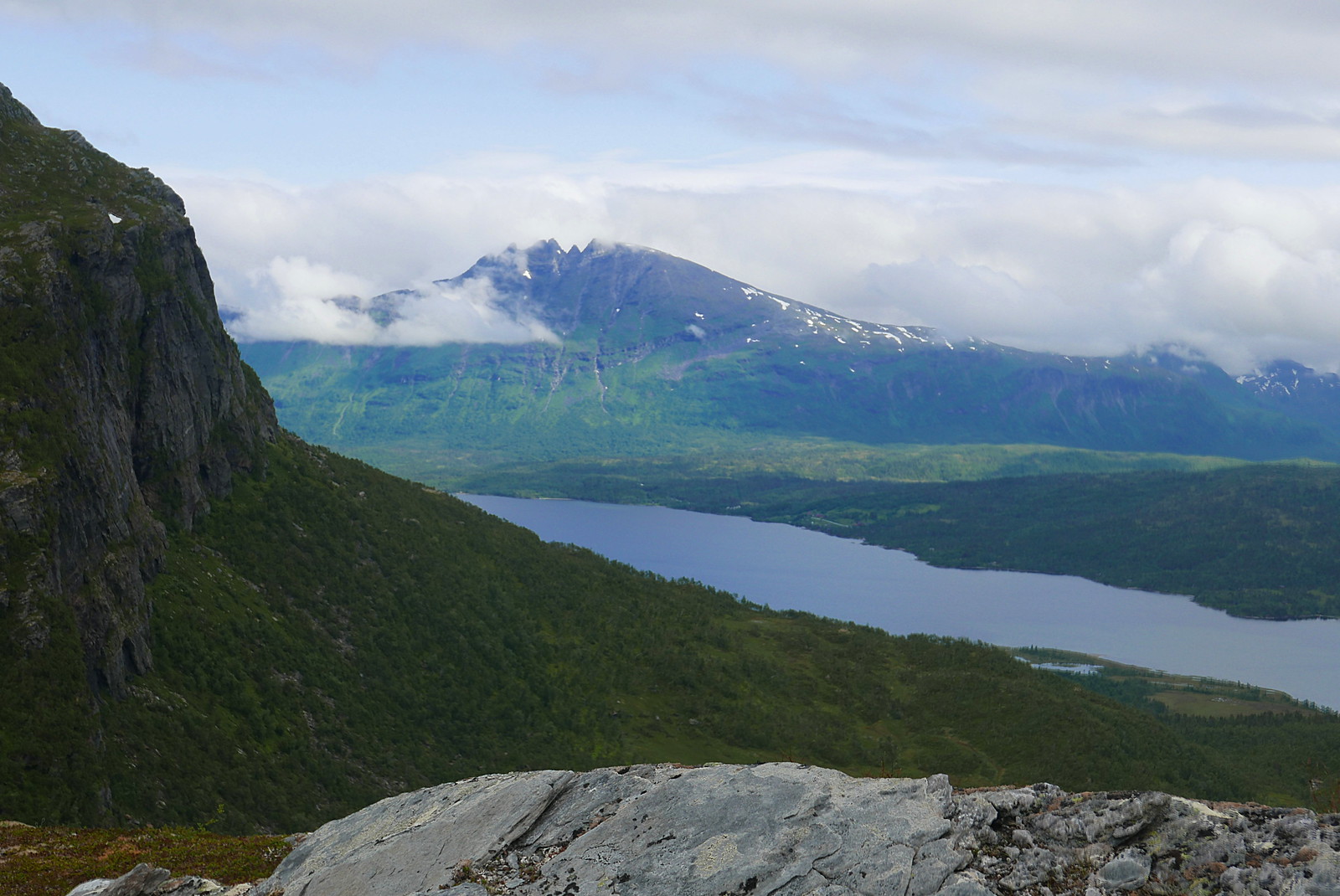
Revtinden and Skodderbergvatnet

Langvatnet and Revtinden

Starting the climb to Butinden

On Tverrfjellet, looking back to Butinden

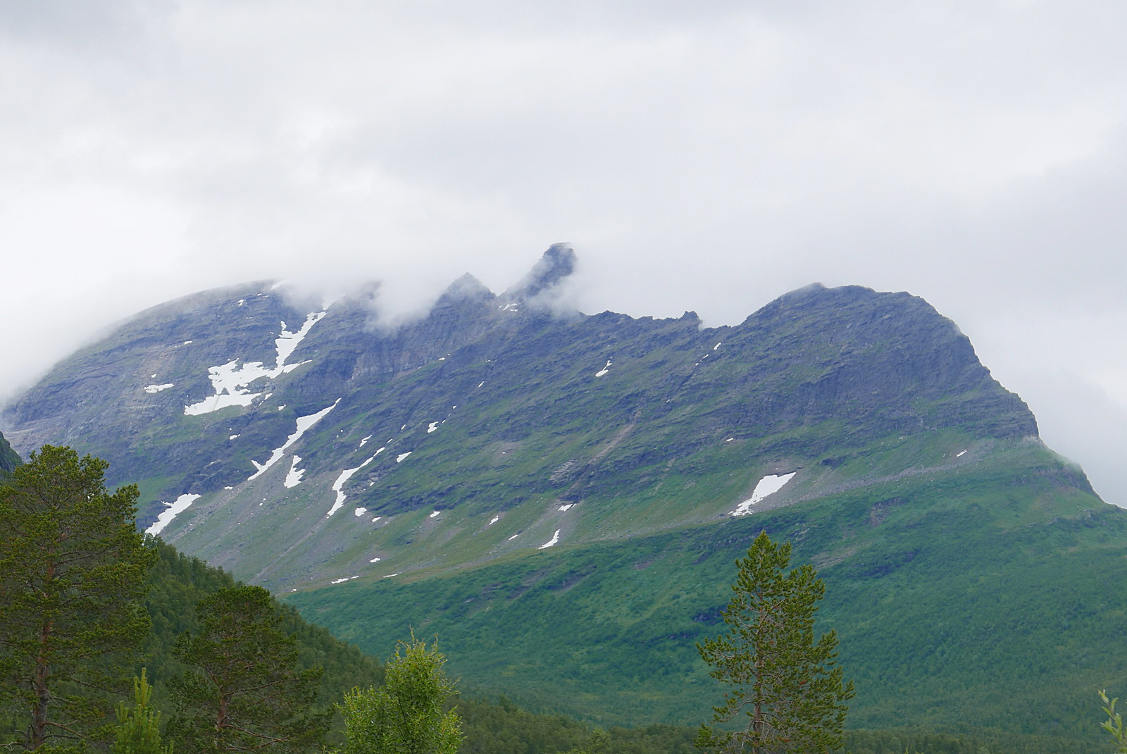
Misty Revtinden

A smaller waterfall in Runddalen
Novafjellet and Novatinden
