free to be able to rate and comment on reports (as well as access 1:25000 mapping).
Day 2 - Hrafntinnusker to ÁlftavatnContinued from Day 1
https://www.walkhighlands.co.uk/Forum/viewtopic.php?f=16&t=92761A tiny day of about 7.5 miles awaited us, which was basically descent, steep and slippery into the gorges of Jökultungur. No idea why the planned day was so short, and if it hadn't been bitterly cold and windy on arrival a couple of us had thought we'd go and have a wander. In the event, we had such a wait for the showers, (which was a wind-blasted, cold, character-building wait which made the shower just luxury!), it wasn't to be.
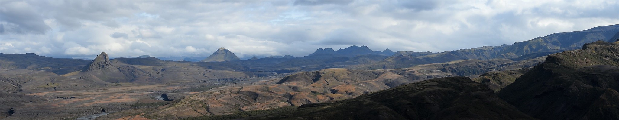
 001 Map of descent to Álftavatn
 by
Emma Kendon, on Flickr
Our first gentle descent, just below Hraftinnusker, took us across more snow and above some intriguing little ice caves and bridges. I think, under your own steam, at the right time of year (i.e. later than summer), it could be really worth an explore around here, though the ice caves themselves are dangerous because they can collapse at any time

 005 Ice caves below Hrafntinnusker
 by
Emma Kendon, on Flickr
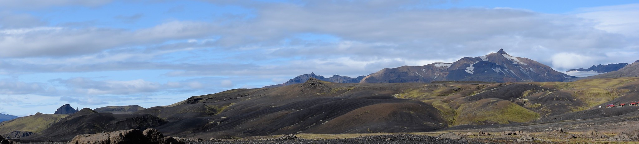
After yesterday's amazing spectrum of bright colours, we were now on the other side of the obsidian, and entering basalt/palagonite country. It was darker...
 007 Cloud and snow on dark palagonite mountains
 by
Emma Kendon, on Flickr
And we had a mini river crossing coming up.
 010 First river crossing coming up
 by
Emma Kendon, on Flickr
Now, there was really no need to take our boots off and put river-crossing shoes on, but our guide insisted! It became clear why later on, when we did have a serious river to cross. She just wanted this to be the trial run, not that, especially since the water temperature was going to be painfully low.
We were very obedient, and after that the next crossings were boots on.
 011 Beautiful hills of Reykjafjöll
 by
Emma Kendon, on Flickr
Soon Álftavatn (Swan Lake, or more specifically maybe, Whooper Swan Lake) appeared, and we descended past bulbous cotton grass, thrift and campion and under a rainbow

to our destination for the night.
 014 Álftavatn comes into view
 by
Emma Kendon, on Flickr
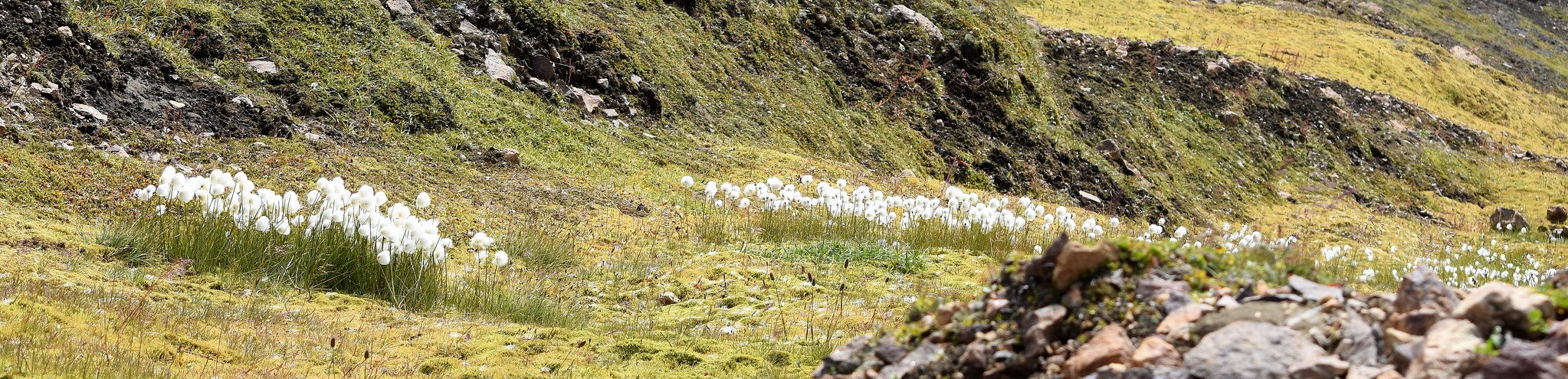 020 Bog cotton Iceland style
 by
Emma Kendon, on Flickr
 022 Sea thrift above Álftavatn
 by
Emma Kendon, on Flickr
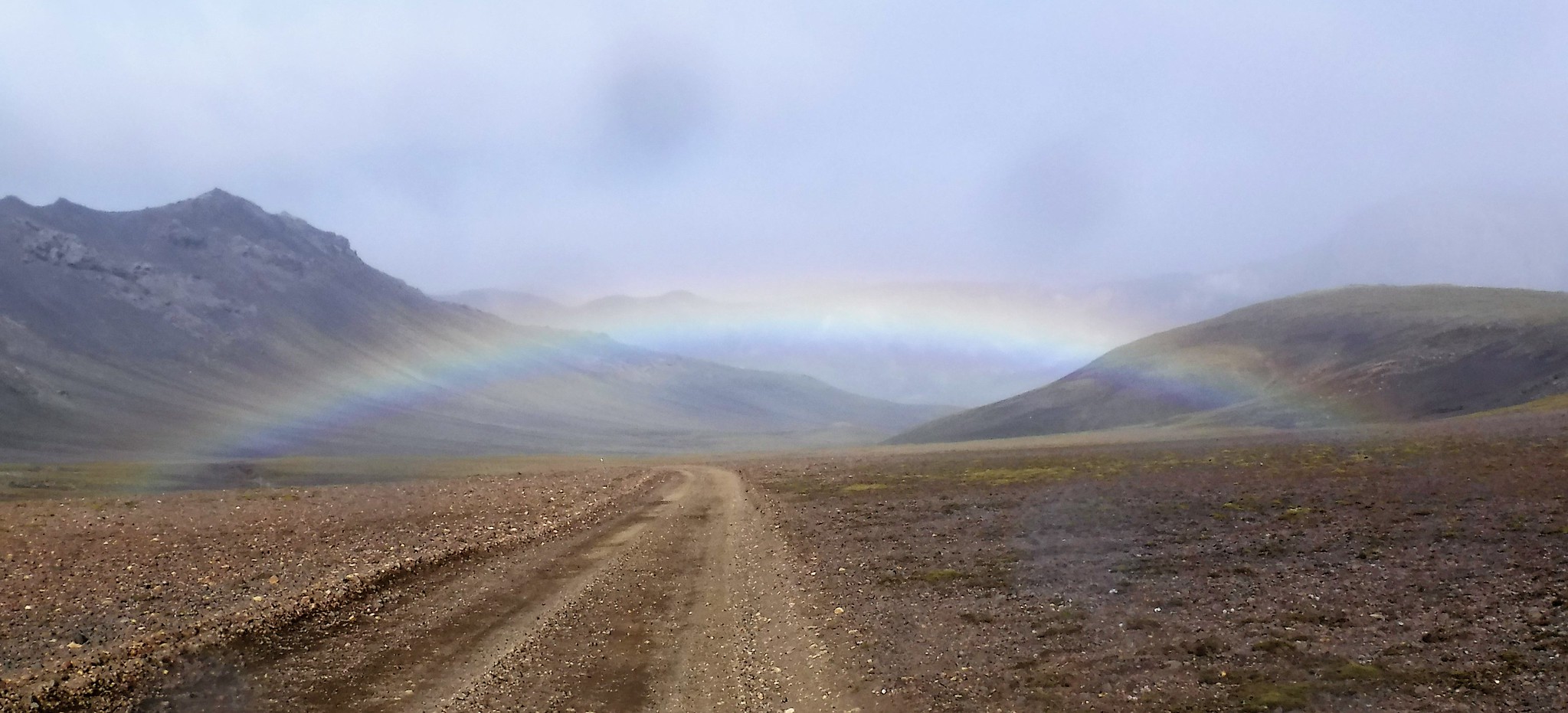 026 Rainbow at Álftavatn
 by
Emma Kendon, on Flickr
Day 3 - Álftavatn to EmstrurThis was multi river-crossing day, starting with the Bratthálskvísl river.
 002 Looking back at the Bratthálskvísl
 by
Emma Kendon, on Flickr
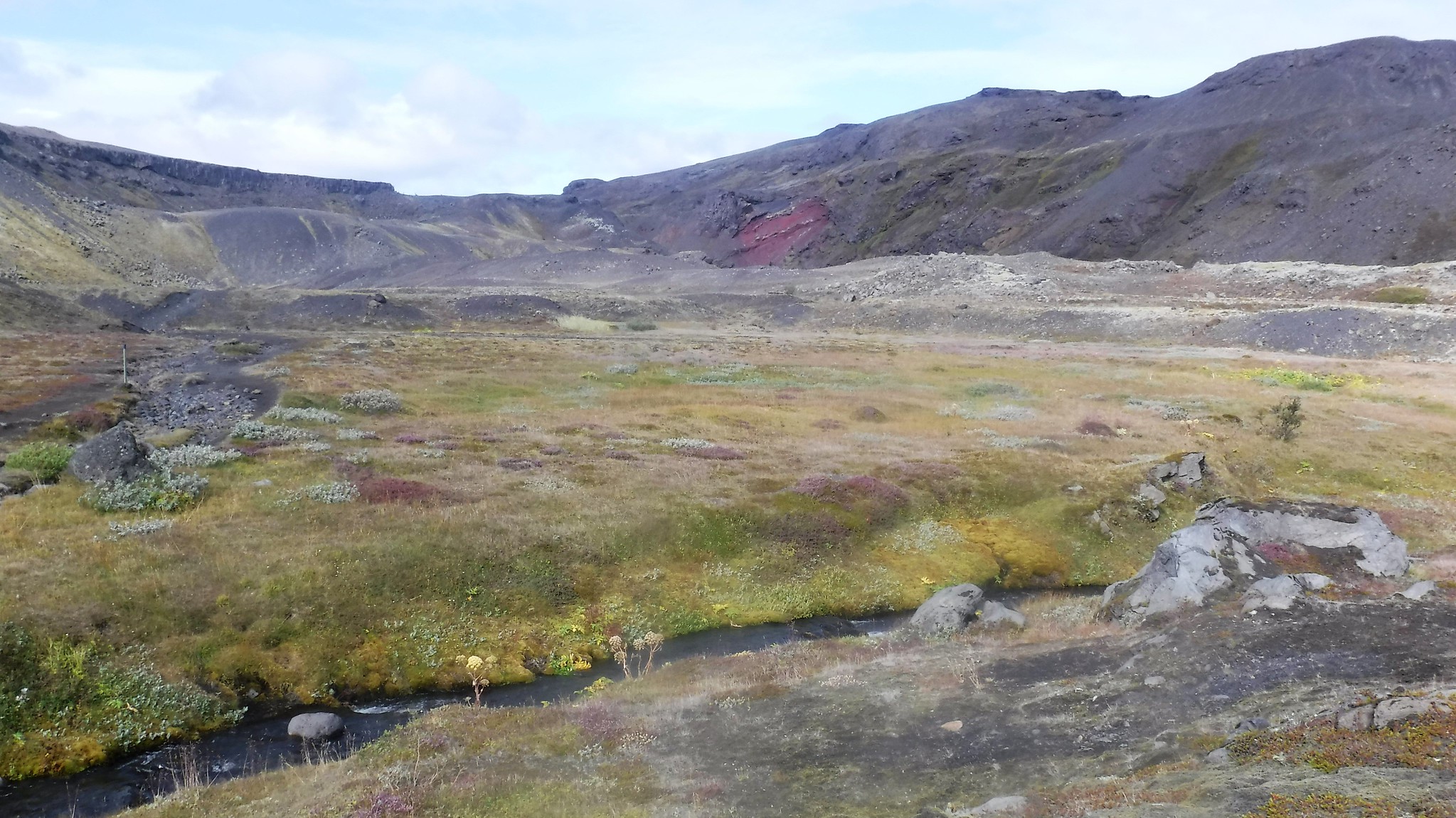
This was also a day of wet and green, but not of views.
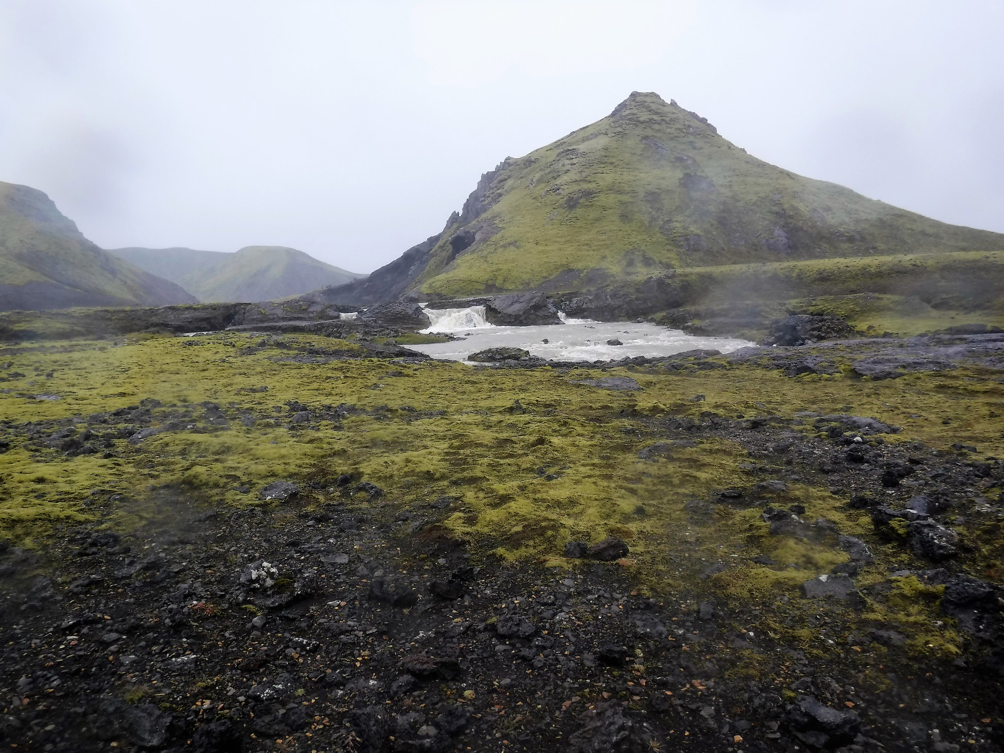 006 Mini waterfall and moss
 by
Emma Kendon, on Flickr
Next was trousers-aff river-crossing. No photos of the crossing cos it was too wet, cold and impractical. But picture river, pants, sticks, red legs... Yep, that's it.
 011 River crossing lesson coming up
 by
Emma Kendon, on Flickr
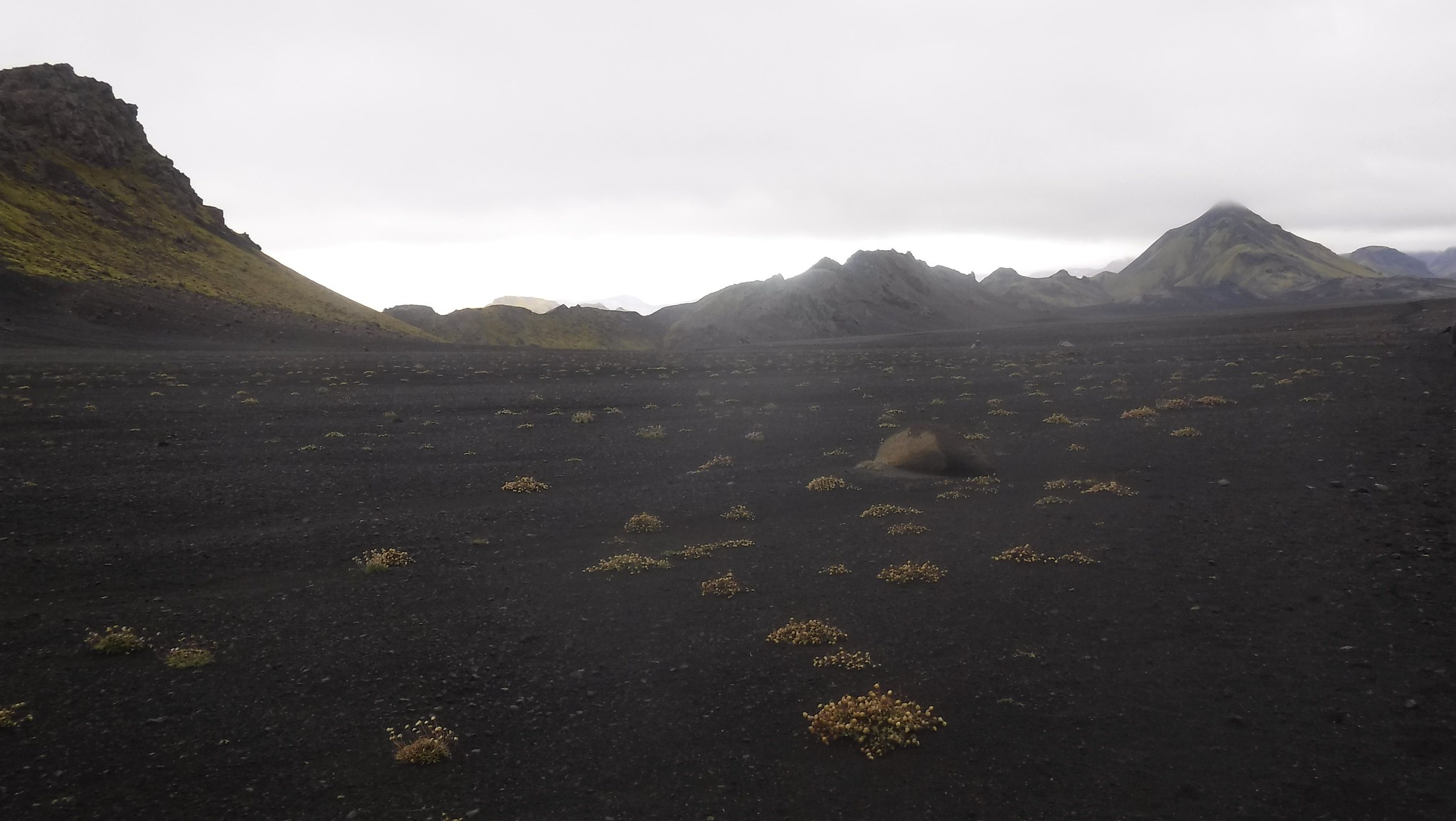
Across the rivers, we were in the wide black plain of the Sandur where campion was growing looking for all the world as though it had been tastefully placed.
 012 Clumps of windblown sea campion
 by
Emma Kendon, on Flickr
Three days in, the landscape was still extraordinary. But I was noticing how little fauna there was. I asked the guide, and she proudly replied about Iceland's cetaceans and other wonderful marine life. Mmm. I tried again, just curious whether anything rodent-y or amphibious survives out here, but probably not. This is ashy, sandy desert.
At about 4pm we were at the Innrí Emsturá river, which has a bridge; so no pants-displays here.
 019 That bridge - through mystery flower
 by
Emma Kendon, on Flickr
Then we were back to our moonscape...
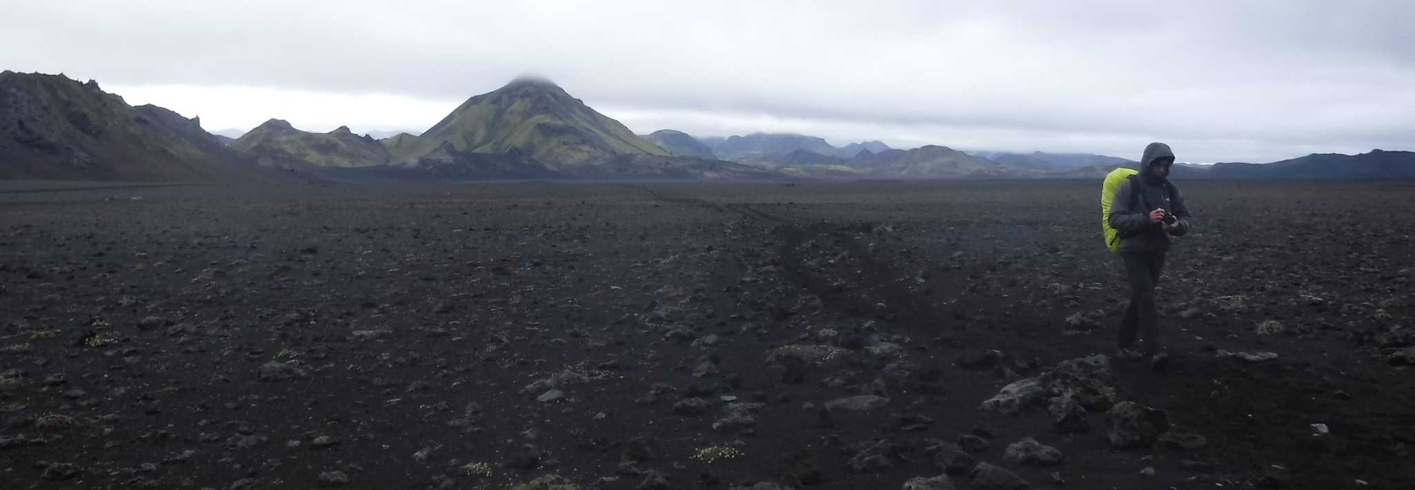 025 Valery on the moon
 by
Emma Kendon, on Flickr
... and an hour or so later...
 028 There's lots of this
 by
Emma Kendon, on Flickr
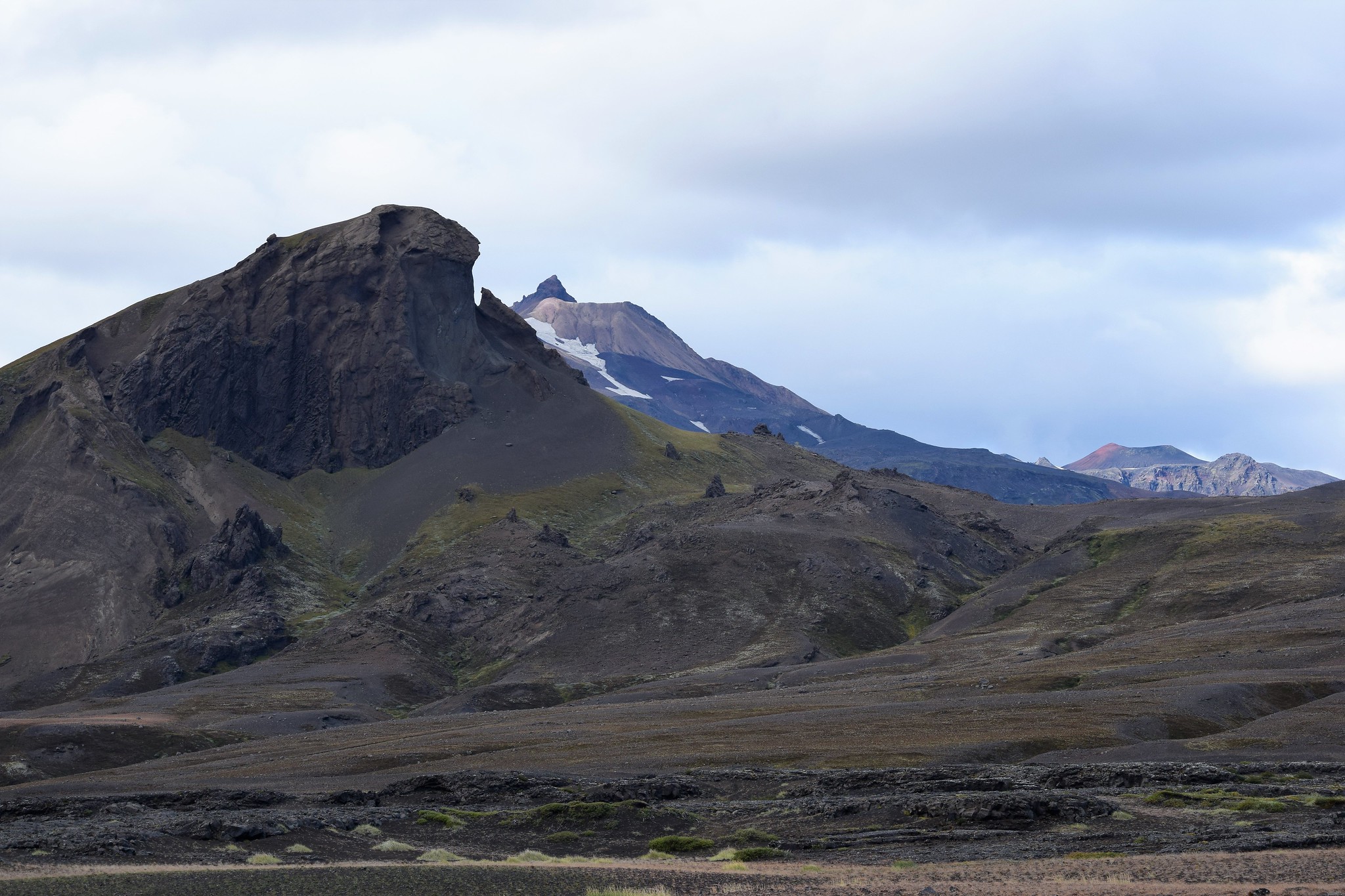
...and then Hattfell came into view (and promptly got called Muppet Mountain because of its eyebrows).
 032 Hattfell 924m high volcano
 by
Emma Kendon, on Flickr
As we made our last descent for the day into Emstrur, the huge gorge came into view - a morning visit there was on the cards...
 035 Syðri-Emstruá gorge
 by
Emma Kendon, on Flickr
Day 4 - Emstrur to ÞórsmörkAfter a morning visit to the Markarfljót river gorge, overseen by Mýrdalsjökull to the south, we set off.
 023 Hattfell over the gorge
 by
Emma Kendon, on Flickr
 021 Mýrdalsjökull glacier pano
 by
Emma Kendon, on Flickr
It was another sunny day as we left the Emstrur huts and crossed the bridge.
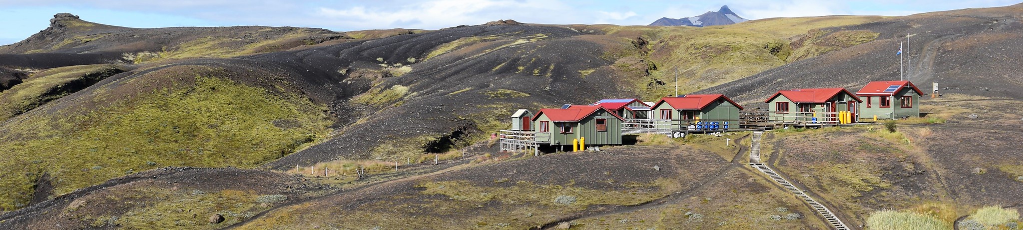 031 Emstrur huts
 by
Emma Kendon, on Flickr
Angelica was out in force.
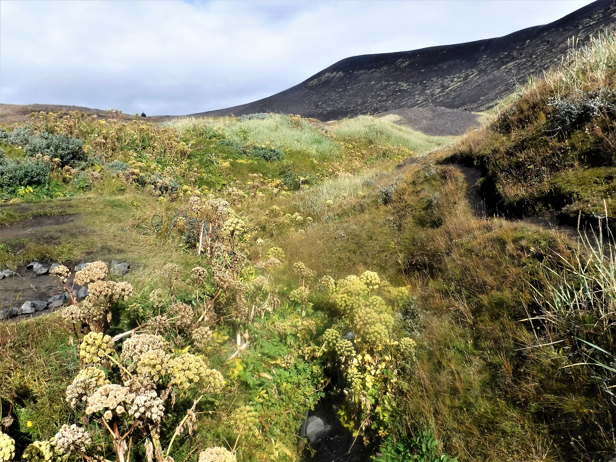 033 Angelica
 by
Emma Kendon, on Flickr
Wheatear was making itself known too - was this the first bird I'd seen since leaving Reykjavik?
 010 Wheatear
 by
Emma Kendon, on Flickr
And we came to a sign, which basically told you what you should do if a volcano erupts under the glacier, because they don't really give any warning (and there are about four biggies which are overdue at the moment).
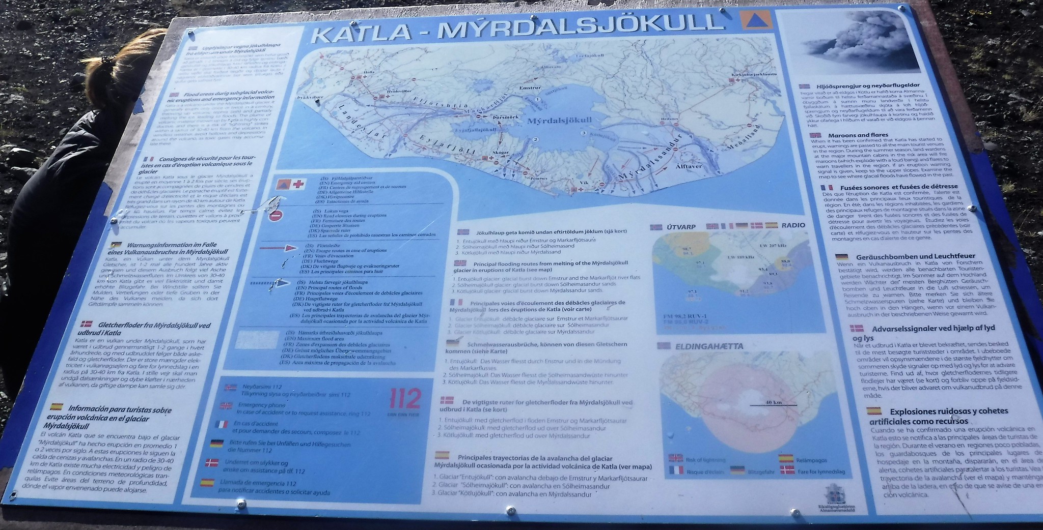 034 What to do in a sub-glacier volcanic eruption
 by
Emma Kendon, on Flickr
So what does it say you should do?
Run uphill basically. (Did put me in mind of the Beyond the Fringe Civil Defense 4-minute warning and the brown paper bag...
https://www.youtube.com/watch?v=AobLKuLszXs )
After a really pleasant walk, towards and around a church-like rock called Unicorn Hill, some slippery descending, and an eyeful of the glacier ahead, we stopped for a lingering lunch.
 036 Unicorn hill to paramount hill pano
 by
Emma Kendon, on Flickr
 039 Unicorn hill above volcanic red ash
 by
Emma Kendon, on Flickr
 040 Mýrdalsjökull glacier
 by
Emma Kendon, on Flickr
And there we were treated to a distant arctic fox (and another wheatear).
 050 Wheatear and fox
 by
Emma Kendon, on Flickr
And then suddenly it was blueberry, heather, crowberry - like home!
 061 Heather and friends
 by
Emma Kendon, on Flickr
 062 Crowberry
 by
Emma Kendon, on Flickr
 075 Grass of Parnassus - not mountain aven
 by
Emma Kendon, on Flickr [Thanks to pastmysellbydate for correct ID

]
Our route took us round Unicorn Hill and then we descended through birch forest to Þórsmörk, surprising a ptarmigan on our way.
 082 Another Unicorn paramount pano
 by
Emma Kendon, on Flickr
 085 Unicorn paramount and red mountain top beyond
 by
Emma Kendon, on Flickr
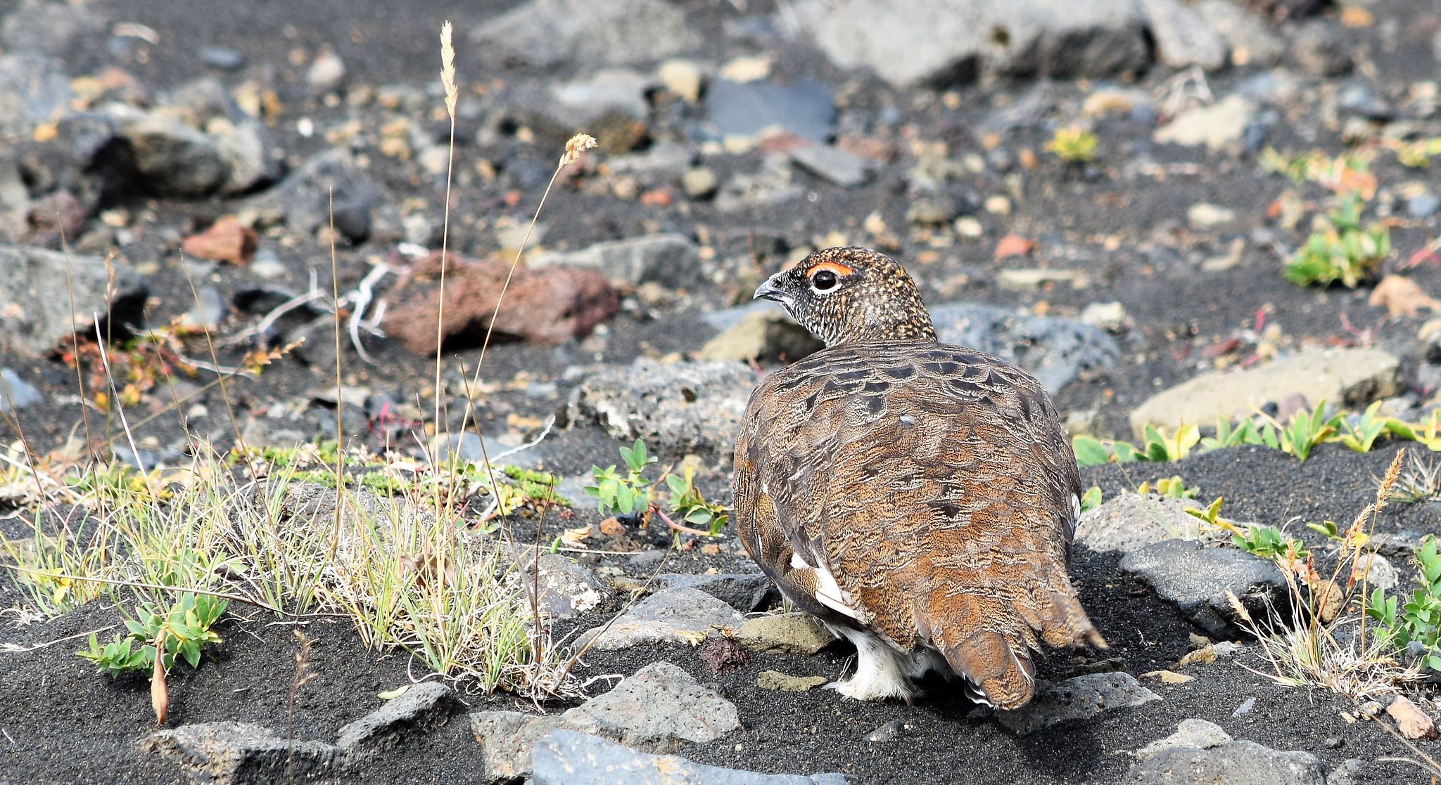 097 Ptarmigan
 by
Emma Kendon, on Flickr
I was thrilled to see juniper, and there was bearberry and brambleberries which were tasty.
 103 Juniper and cross-leaved heath heather
 by
Emma Kendon, on Flickr
Finally we were at Þórsmörk.
 113 55km later
 by
Emma Kendon, on Flickr
The next morning......we climbed Valahnúkur. Then headed back to Reykjavik, for some snorkelling and other fun and games for our last couple of days. Six weeks later I'm still mindblown by that mad, impetuous, youthful land.I think Paul said, "like Assynt on acid" and yes, some of it really is!
 007 View north from Valahnúkur
 by
Emma Kendon, on Flickr
 010 View east with viewpoint plate
 by
Emma Kendon, on Flickr
 014 View south to the sea from Valahnúkur
 by
Emma Kendon, on Flickr
 018a Mini-us
 by
Emma Kendon, on Flickr
