free to be able to rate and comment on reports (as well as access 1:25000 mapping).
Chris had booked both of us and Sonny into the Travel Lodge at Cockermouth for one night, a procedure that left him aghast and moaning that he had to pay £20 for Sonny. The original plan was to stay for two nights and get a round of Birkett's in around the Lamplugh Fell area but he quashed that idea as his love and generosity towards Sonny obviously only runs so deep if it's costing nearly as much for the dog as it is for himself that means in essence we were paying £15 for a breakfast.
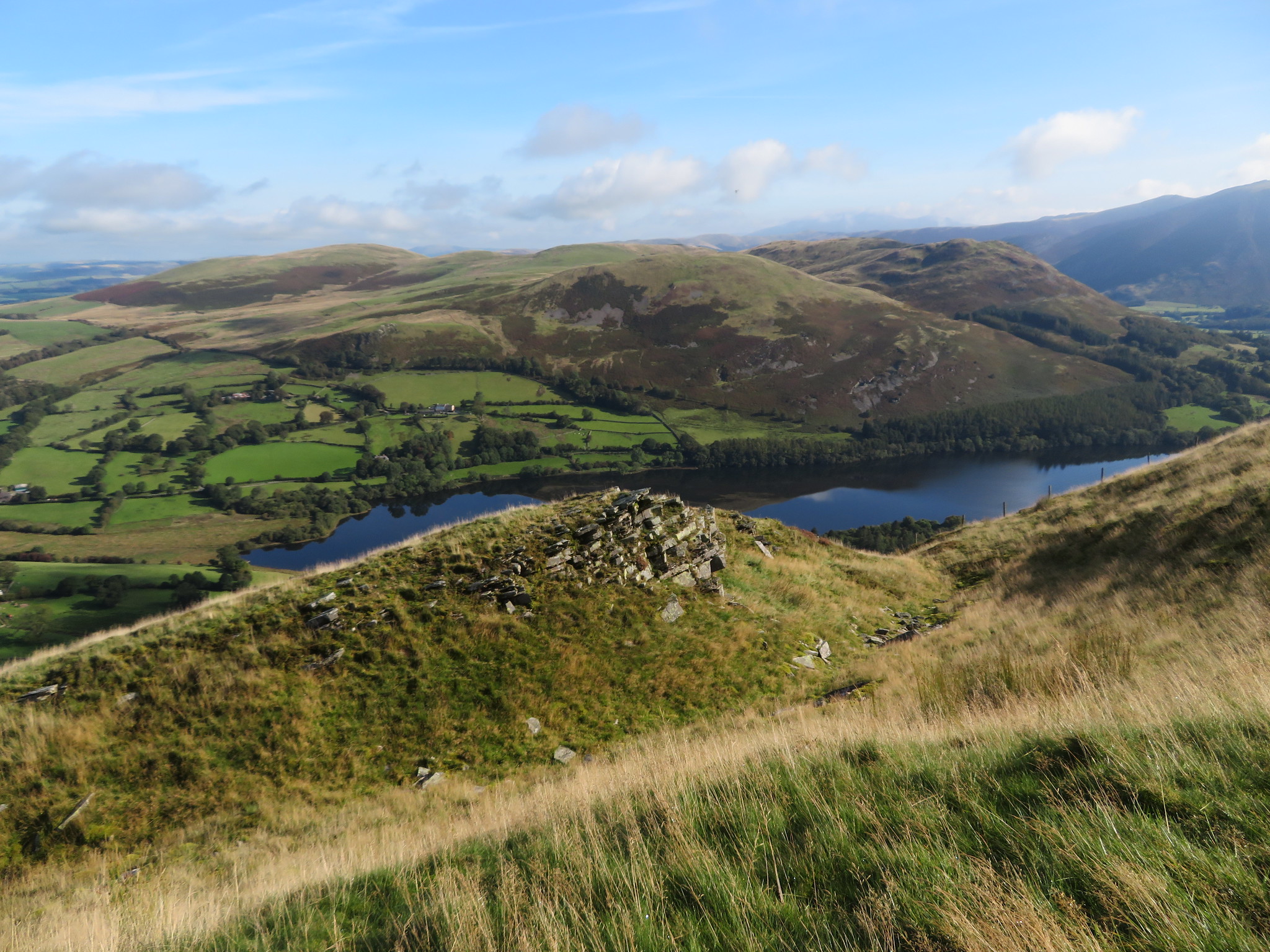
Day 1 of 2We set off from my house in the Eden Valley to arrive at a small parking area at Loweswater - NY118224 - from where we had a good view of our first fell - Burnbank Fell - and also a fair lump of Carling Dodd with Blake Fell just about peeping up behind it. The purperly grey scree material spread about in the region of the old mining works was plain to see as it made an obvious scar amongst the green and brown of the fellside grass and bracken.
 Burnbank Fell and Black Crag
 First off I must say that I inadvertently deleted my track log so the route shown is not the dedicated one that we actually walked.
Despite the drive down and Chris eating his breakfast we were away across the fields by 9:30am the access being just to the north of the car park. It was a glorious day with plenty of sunshine and little cloud although that nagging cold breeze was still flirting about. We crossed the field as we made our way to the footbridge and Hudson Place and upon looking back saw a couple of the fells that we would be on the next day.
 Looking back to Darling Fell and Askill Knott
 Having passed by Hudson Place we were now making our way towards Jenkinson Place…
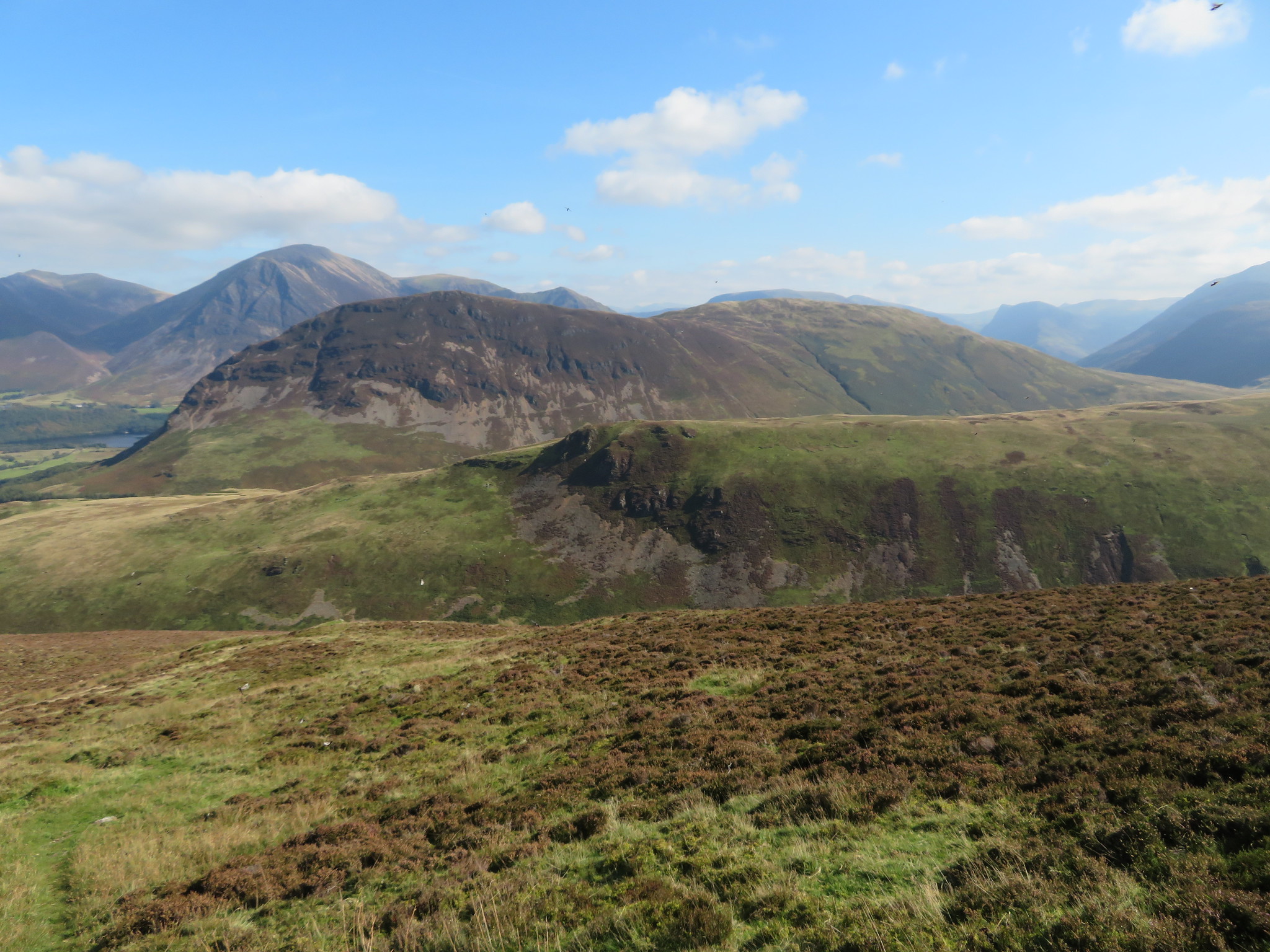
 Southeast towards the Buttermere fells
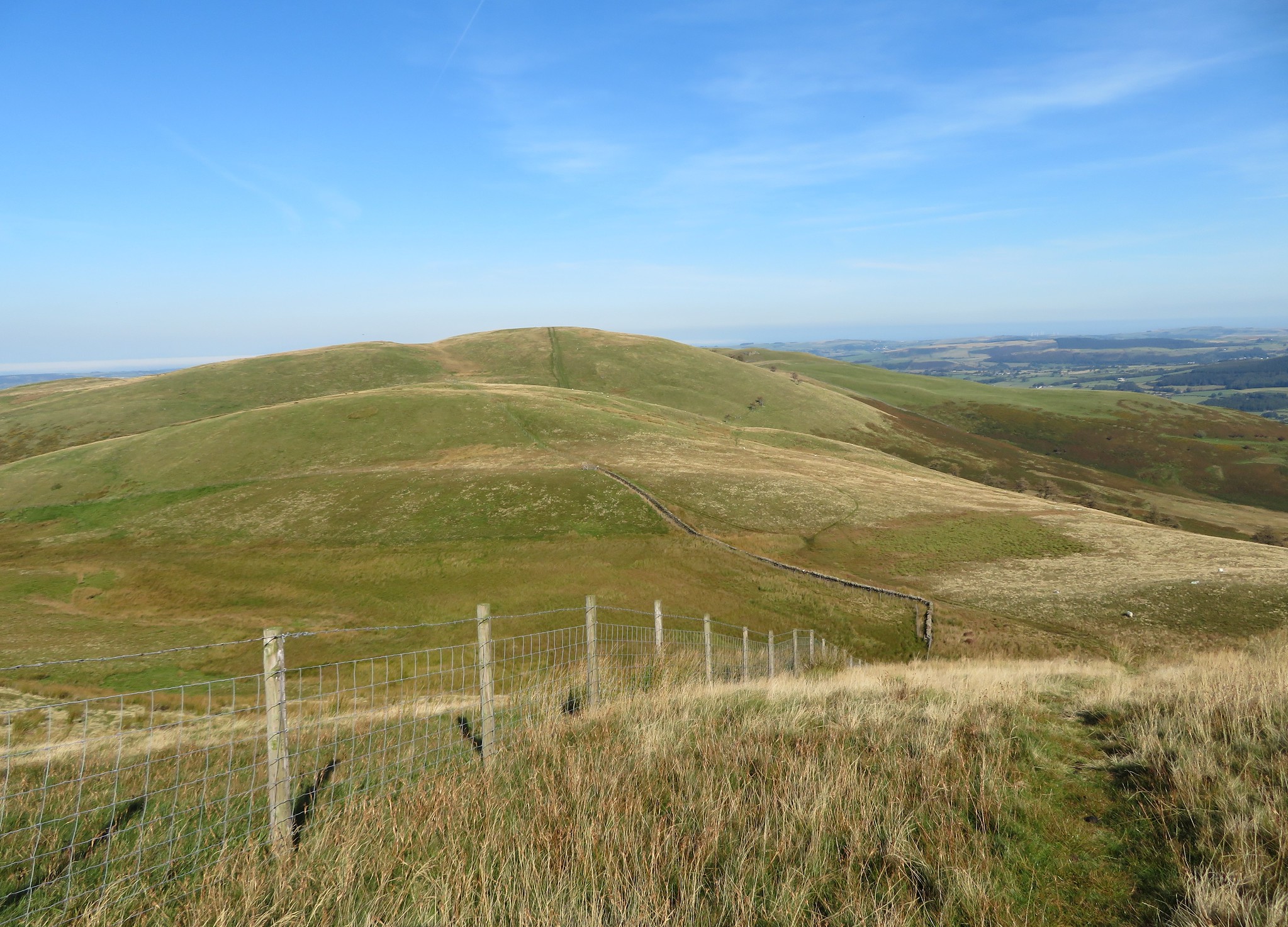
 and then Iredale Place from where we would leave our north westerly route to turn west and then southwest to pick up the very good track of the old Corpse Road that we would now follow right up to the foot of Burnbank Fell when we leave it to start the fairly long climb to its summit.
 Burnbank Fell
  The Old Corpse Road
 Looking at the map it shows the old Corpse Road passing below Burnbank Fell and Carling Knott and then swinging around to the northeast where it quite conveniently meets the road near the Kirkstile Inn.
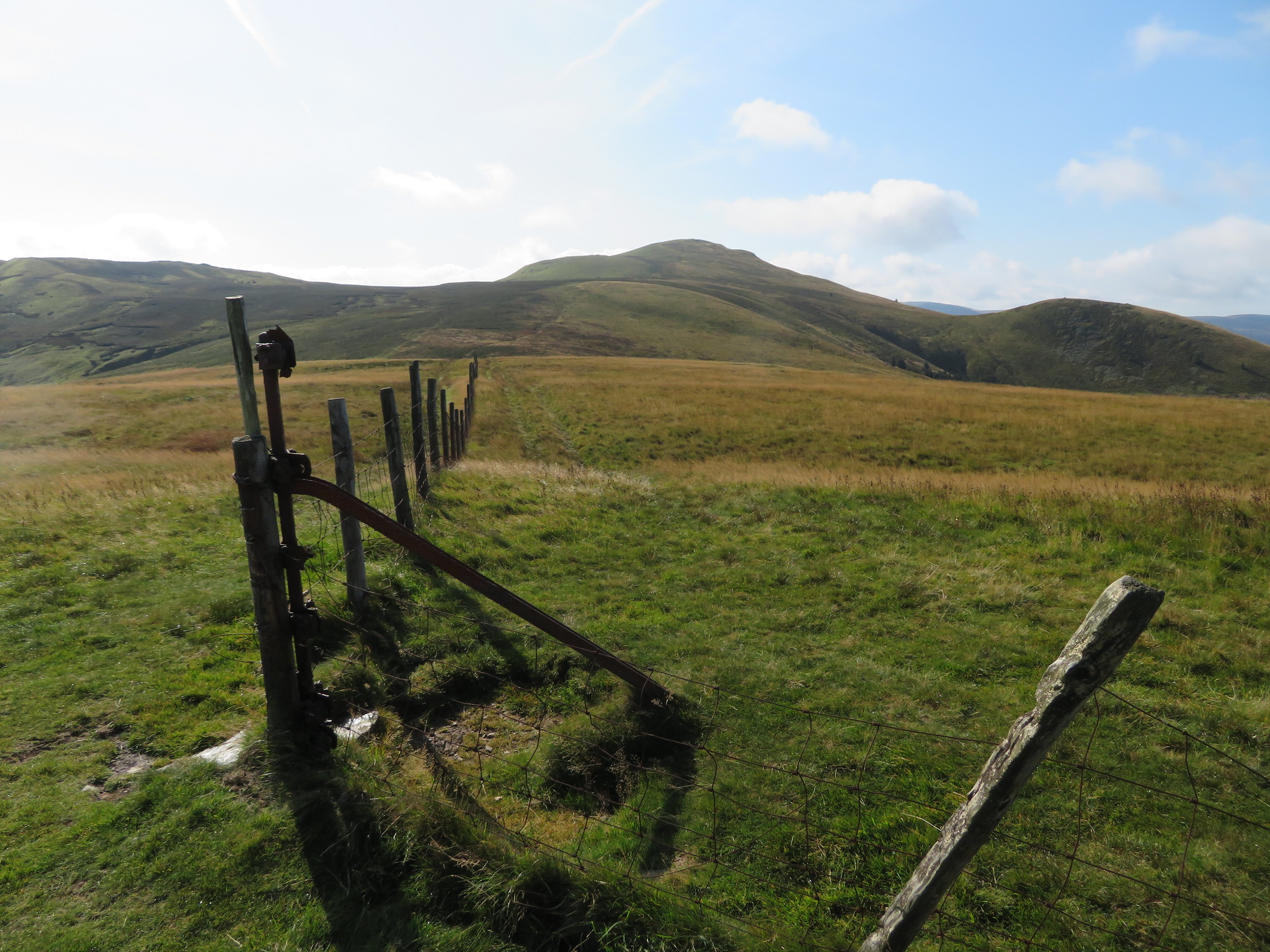
So far the going had been good with gentle slopes on grassy paths and tracks but now we were to begin the climb up this first fellside, also on good grassy paths but steeper on the lower slopes than it is past the 400 metre contour but all in all it wasn't too bad but it was warm work and we did get some good views across the valley and a glimpse into history as we passed over the area of past mining/quarrying.
 The fells of our next walk
  Whiteside-Grasmoor-Whiteless Pike-Mellbreak
Once above the old workings the ground eases off a great deal and it's very easy going right up to the summit.
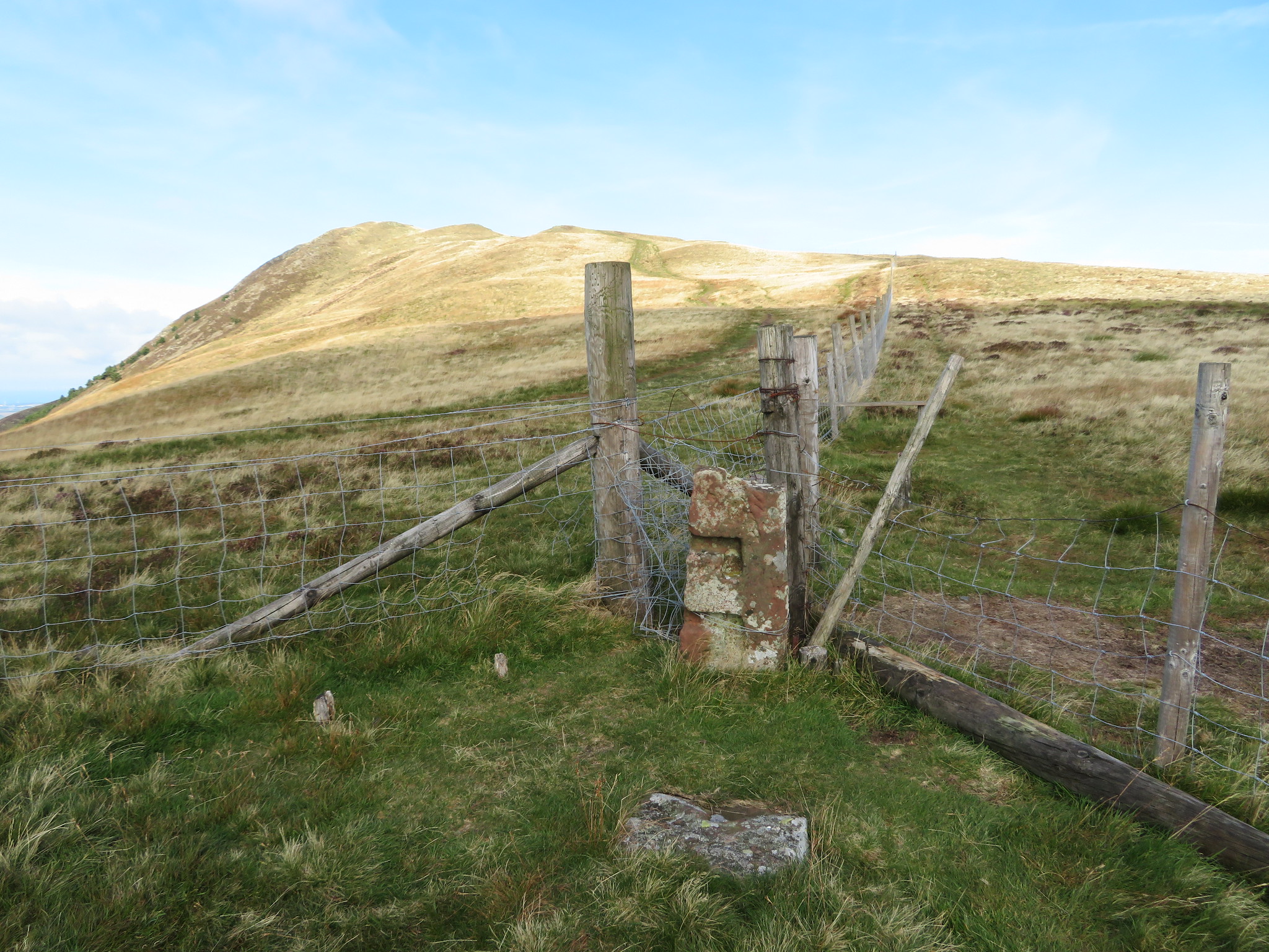
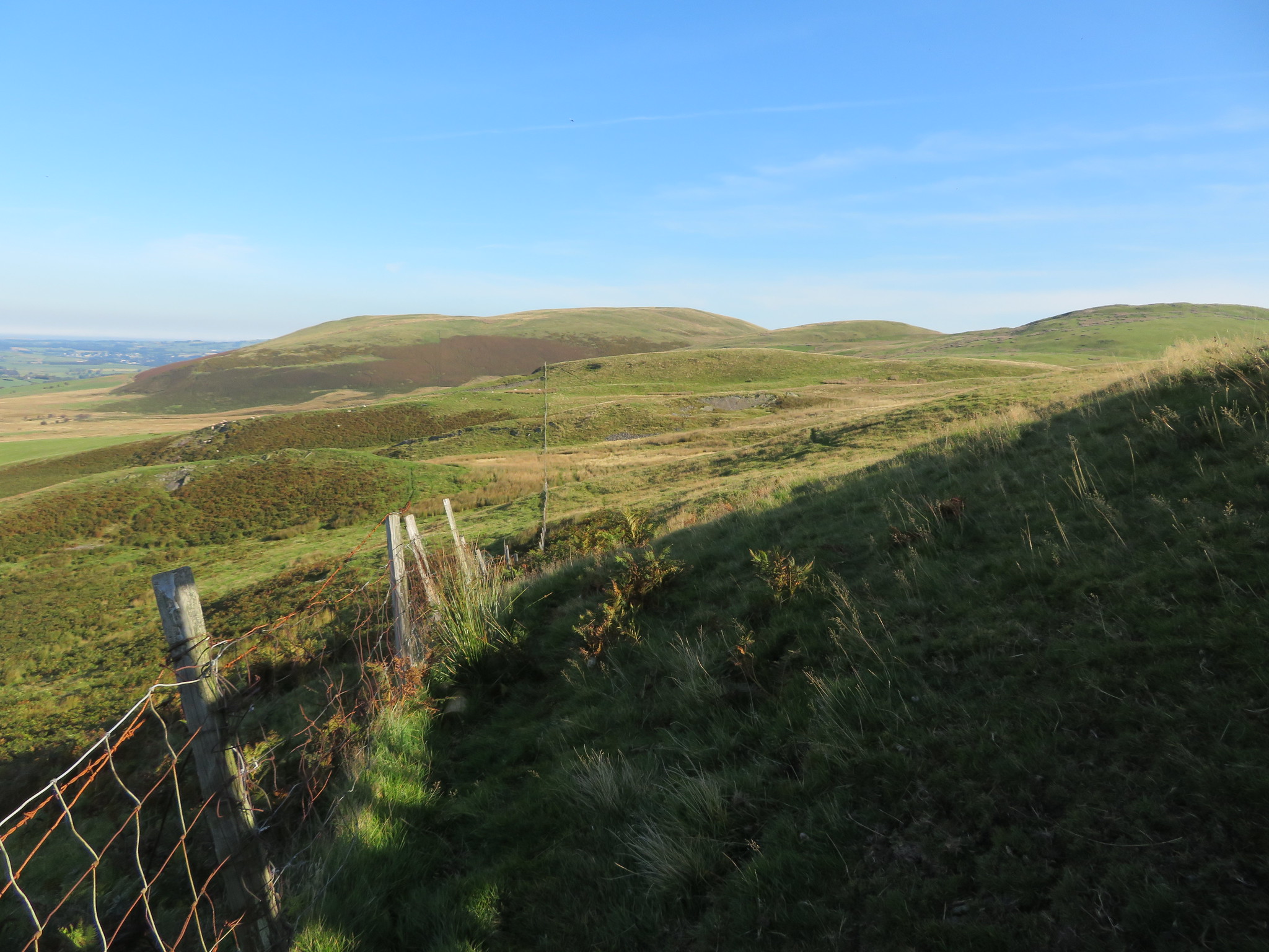
 The summit fence post is now in sight
 The summit is adorned with one of the original iron fence posts and a cairn of stones from where we had a good view of our next hill, Blake Fell and its outlier of Sharp Knott and the hump of Carling Knott in between.
 Blake Fell with Sharp Knott to the right
  Burnbank Fell summit pose
 The air quality was fairly good although there was quite some haze in the distance but the views were good enough as we looked over towards Cockermouth and Blake Fell.
 View north over Cockermouth from Burnbank Fell
 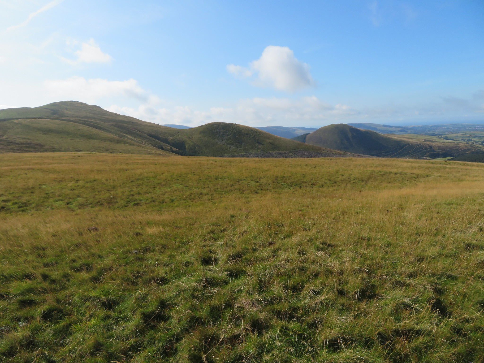 Blake Fell - Sharp Knott - Knock Murton
 The views to the south are somewhat blocked by Blake and Gavel Fells with only Whiteside and Grasmoor being the most prominent over to the east.
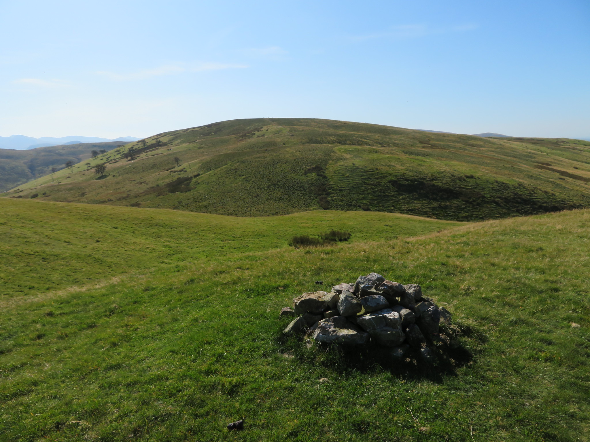
We dropped down the easy south side of Burnbank and was soon near the head of Highnook Beck from where we had a decent view of Carling Knott…
 Carling Knott
 and from where we would have another long but steady climb up to Blake Fell summit.
 A fair trudge now to Blake Fell summit
 So far we have seen not a soul and it's lovely and quiet with just the odd raucous cry of a raven now and again. Since we had left Burnbank Fell's summit and arrived at its south foot the ground has been fairly wet and squelchy with the odd work around to be had and even as we climbed higher there were still quite a few wet patches across the path. It was certainly a beautiful day to be out and about despite the cold breeze and we were looking forward to a break whilst sat in the stone shelter on Blake Fell's top the highest of today's walk at 573 metres.
Another look back saw us looking at the rolling fells that we had just left behind.
 Looking back to Burnbank Fell
 The first time that I had ever come onto this top it was a miserable wet and foggy day and whilst trying to gain some comfort from the walls of the shelter a family of four appeared, something that I never expected on a day such as it was but I shifted over and we passed the time of day for a while before I set off for Burnbank Fell and then Hen Comb. What a contrast to today's weather.
 Shelter on Blake Fell summit
 Now we could see a bit more of Lakeland as the ridge from Red Pike to Herdus was laid out before us with a hazy rendition of Pillar and Steeple lying beyond them.
 Red Pike - Starling Dodd - Great Borne - Herdus from Blake Fell summit
 Over to the west we could see a fair expanse of the hills around Lamplugh Fell that are mostly of the smaller of the Birkett's and we a particularly good view of Cogra Moss and Knock Murton with the ridge of Low Pen and High Pen running out to Fothergill Head.
 Cogra Moss below Knock Murton
  The Birketts of High and Low Pen
We could also see more of the fells to the northeast of us sat below a bank of cloud but the haze was too bad to pick out with any certainty any of the furthest away fells.
 Burnbank Fell and Carling Knott
  Grasmoor - Mellbreak - Hen Comb - High Stile etc
  Towards Whiteside
 Having finished our break and packed up we now set off for Gavel Fell…
 Gavel Fell
 once again down easy slopes on a grassy path following the fence to where we had to stride over at a place where there was the remains of a pair of old stone gate posts…
 Blake Fell
 to soon reach the col at Fothergill Head.
 Blake Fell and Carling Knott from Fothergill Head
 Yet another fairly long climb on a grassy path but pegging away at it soon had us at the summit cairn and yet more but familiar views although a touch nearer.
 Red Pike - Starling Dodd and Great Borne from Gavel Fell
  Chris and Sonny on Gavel Fell
  Blake Fell from Gavel Fell
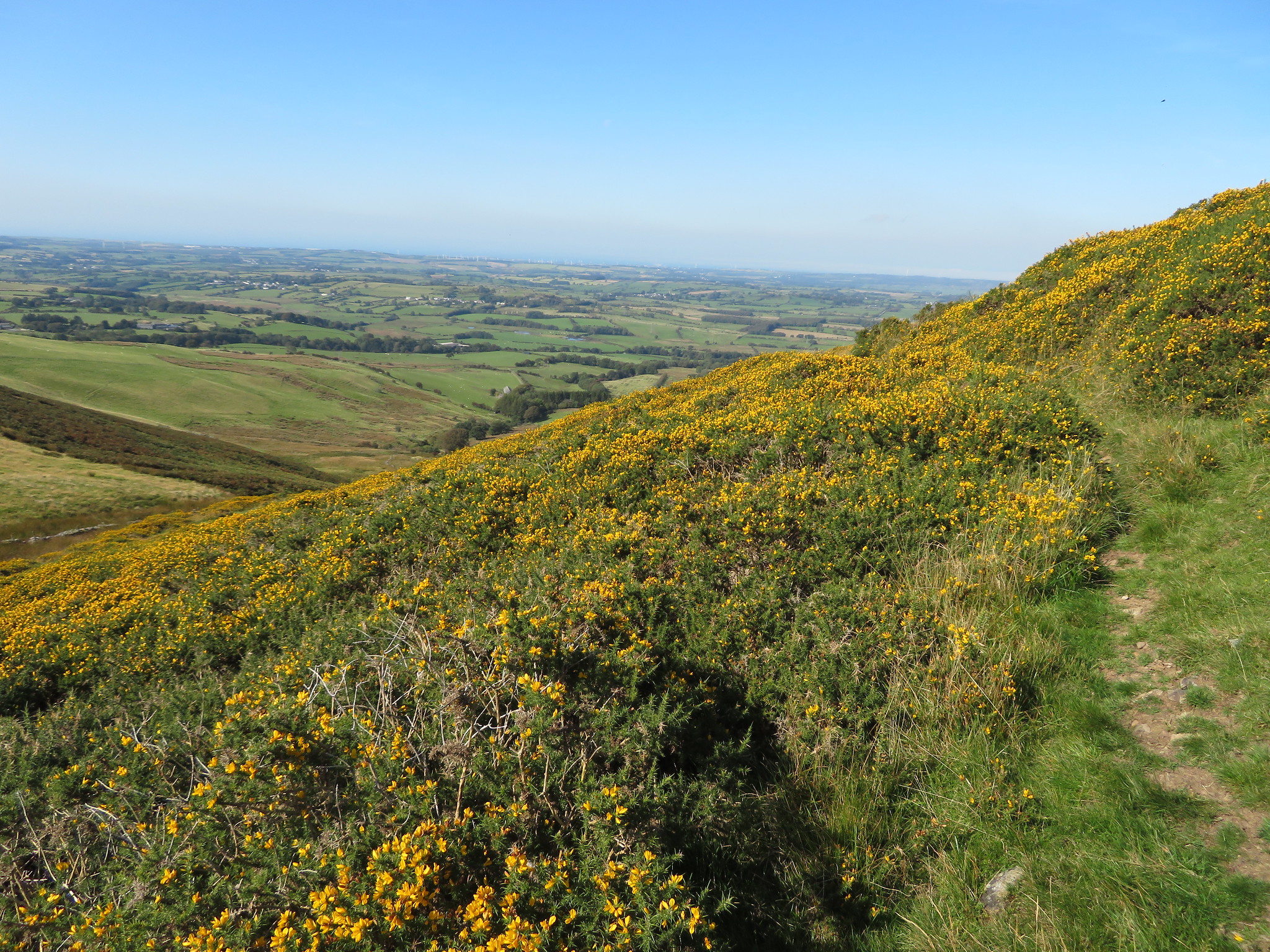
 Well that was us nearly done for the day and we now set off to the northeast along a narrow path that tends to disappear now and again but is easily picked up as we now made a line for Black Crag.
 Now going for Black Crag
 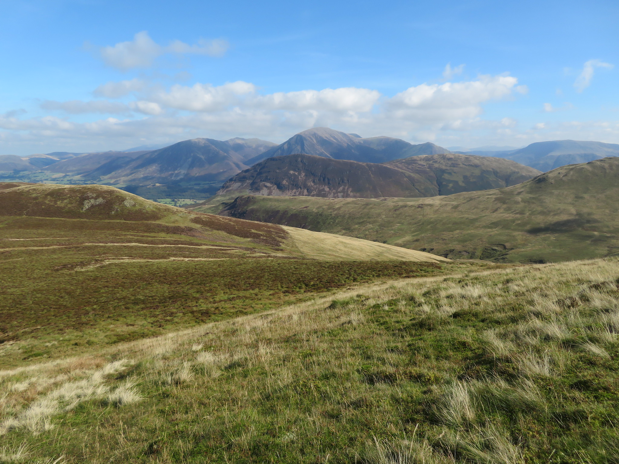 A view west
 This was easy walking, first on grass and then through short heather and we were soon on the top of Black Crag with its small cairn of stones sat on the grass and we have now nearly done a full circle as the fells from the start of the walk now began to appear again.
 Darling Fell and Low Fell from Black Crag
 As we walked along I stopped to take photos of this and that.
 Hen Comb
  A peek into Lorton Vale
 The walk down the north ridge is fairly steep but is easily done with nothing to cause any undue concerns. The scree access on the north end of Mellbreak was plain to see.
 Mellbreak and Little Dodd on Hen Comb
 Over to the northwest we had a good view of the east face of Carling Knott and the small tarn below it.
 Carling Knott behind tarn feeding Highnook Beck
 Getting down lower still we had a good view into the upper reaches of Highnook Beck.
 Highnook Beck
 Once we had passed the old Levels we picked up the track for High Nook Farm…
 Low Fell and Darling Fell
 then on to Watergate Farm and a stroll back along the shore of Loweswater...
 A Loweswater view
 beneath a canopy of welcome shade and a dally by the water's edge. A nice steady stroll back to the car saw an end to an enjoyable day in the Western Fells with another one tomorrow with the promise of even better and hotter weather conditions.
Driving back to Cockermouth we had a bit of a struggle finding the Travel Lodge but once we had we got the priorities right and once clocked in headed for the bar that only has lager on tap, an appalling affair really, with the only ale available being of the bottled kind. Nothing much wrong with that I suppose but what happened to real ale? Having ordered a pint of lager for my man and a bottle of beer for myself I had to sit down and recover from the shock of paying £9.20p for these two drinks, but when needs must. Our thoughts of staying local tonight had been scuppered by these bar prices although it didn't stop us having another couple just now we planned to walk into Cockermouth tonight to get some cheaper ale and a feed.
Soon after getting mopped and stoned we set off to walk into town on a lovely sunny evening planning to find a Weatherspoon's for a cheap meal and some similar beer but on our way down the road we espied a pub that looked a tad shabby on the outside and had it had swing doors wouldn't have looked out of place in 1830's Laredo. I must admit I was a bit dubious about entering this establishment that goes by the name of the 'Cock and Bull' but once inside all fears of a bar brawl was forgotten as we entered a sort of pub time warp with a proper old fashioned bar, not one of the make believe ones, but a proper and authentic one with plenty of friendly locals who made us very welcome and a barman who remembered our round after the first serving. I was even offered the choice of a schooner or barrel glass to drink out of, now it's a long time since I've had an offer like that. Needless to say that Weatherspoon's and food went right out of the head especially as a round in here cost a mere £5.40p. Several pints later and a Chinese take away from the nearby establishment saw us in a taxi back to our salubrious hotel where chicken and noodles etc were consumed in front of the TV whilst sat on the bed. A fitting end to a good day out on the fells of Western Lakeland.
Day 2 of 2Friday morning we was up bright and early to a sun that had risen before us and even at this hour of 7am it was already very warm with a promise of even hotter weather as the day went on. We were good and ready for a good breakfast to start the day and as it's a buffet style one we may as well stoke up as best we can for the day ahead, albeit a short one. Breakfast over and a few sausages snuck out for Sonny we found our way back to yesterdays car park to walk the fells on the northeast corner of Loweswater, mainly the Wainwright's of Low Fell and Fellbarrow but also picking up the Birkett's that get in the way.
Today's route started as a short walk south along the road to then take the first turning on the left along a metalled lane towards the farm at Miresyke and then taking the stony lane that put us on to a green lane before finally tipping us out on to the old Mosser Lane. As we arrived at the gate to allow entry onto Mosser Lane I took one of my look backward shots across Loweswater and a peek into the distance beyond Buttermere.
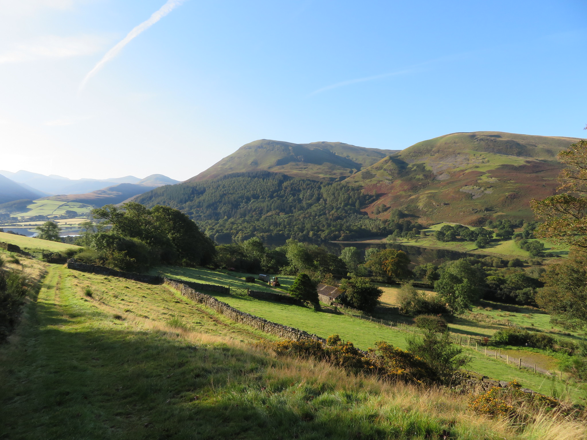 Burnbank Fell and Carling Knott
 Having gained some height to reach the old metalled lane we now had to turn back on ourselves and descend some 20 metres or so and although it isn't a big deal I didn't relish the idea of first climbing and then descending on tarmac before the start of the climb proper up the fellside. It's different when on the fells as it goes with the territory and to be expected although it wasn't as if I knew that this would be the case.
Mosser Lane runs from the road alongside Loweswater and is around a third of the way along from the south end of the lake and makes its way along the lower fellside gently rising to arrive at Mosser. The lane is covered in tarmac for most of the way but for vehicles parts of it are only passable by very high off the road motors as it is deeply rutted in places.
Once we had reached the lane we started our downhill walk to the start of the climb up Darling Fell.
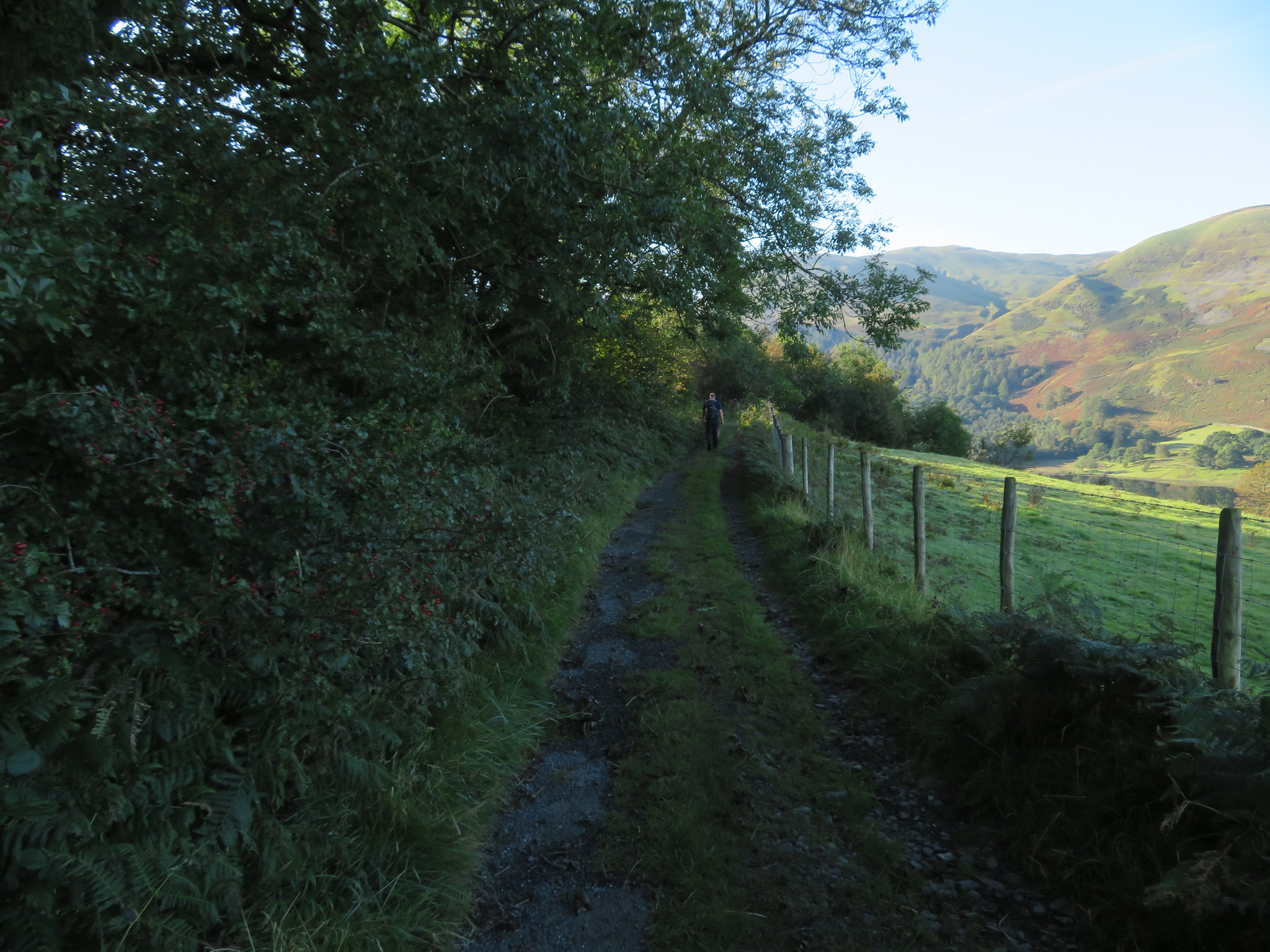 Walking along Mosser Lane
We left the lane at approx NY124224 to climb a short flight of steps to pass through a gate that put us directly onto a fairly steep path through the bracken that was to prove to get really steep as we gained height but despite the steepness the paths are good and there is a fence alongside the path to aid ones way if needed. At about the 330 metre contour I took a picture of things to come.
 A view to Fellbarrow
 By now the day was getting really hot and it was only barely mid-morning and despite a couple of photo opportunity stops on the way up the glory beads had started to roll off the brow but after a steady plod we were soon in sight of the summit and the Lakeland scene was unfolding before us.
 Near the summit of Darling Fell
 Mellbreak - Hen Comb - Black Crag - Carling Knott
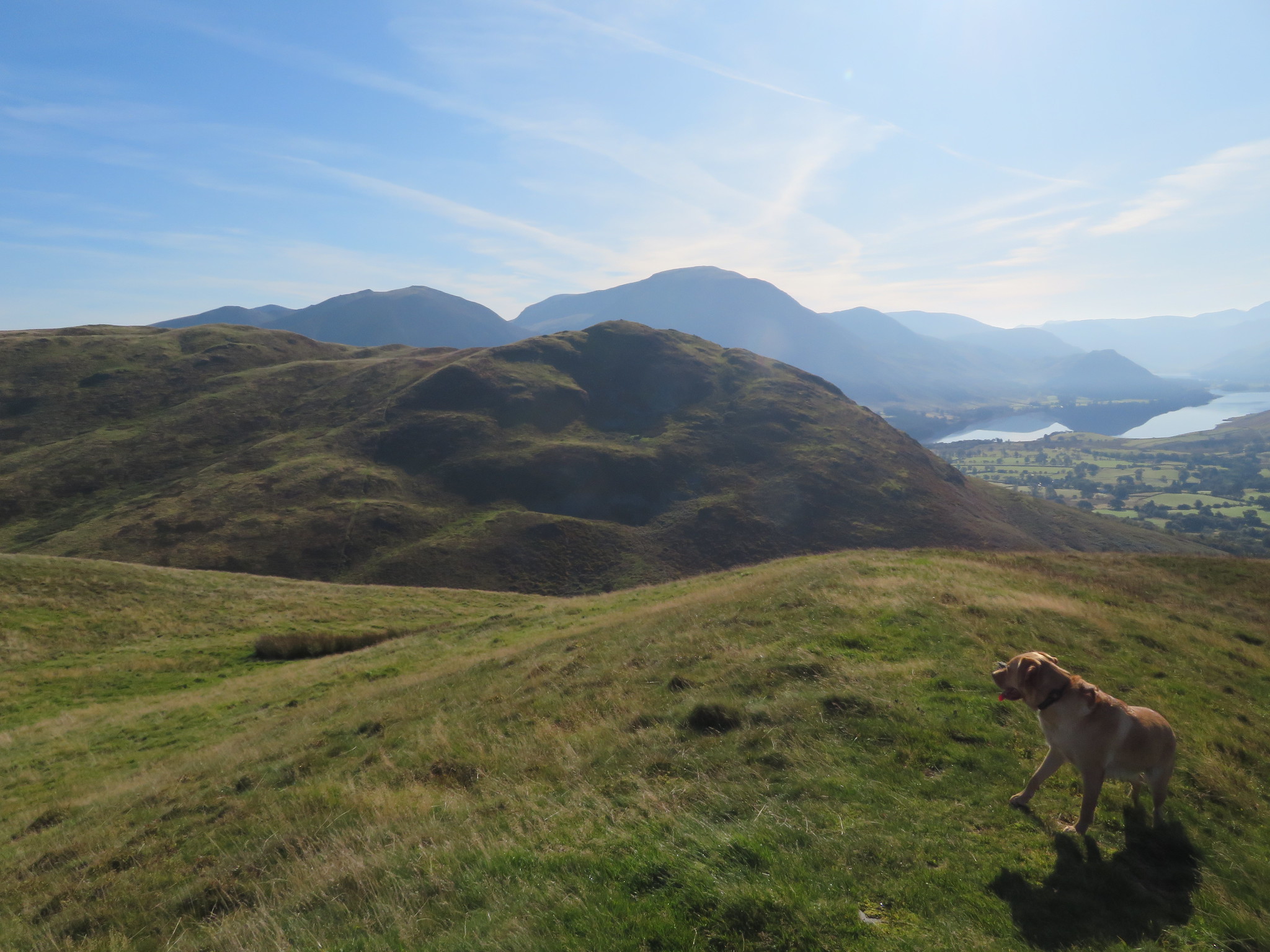 Low Fell from Darling Fell
  The flat top of Sourfoot Fell on the skyline
 This was a gorgeous day but very hazy that gave a fine mist like quality to the distant fells and mountains; some would say that it's ethereal and adds to the picture, and it does sometimes, but today I would have preferred clear and sharp but hey, it's still a great day to be out amongst the fells.
Low Fell our first Wainwright of the day is prominent over to the east of us as we made our way along the good grassy paths to the top of the steep bank that would take us down to Crabtree Beck and the start of the climb to the summit cairn and delectable views across Crummock Water and Buttermere.
 Low Fell
 The path running alongside the fence is as steep as it looks and itself tells the story of many hands pulling on the sheep netting by just looking at how pulled out of shape that it is. A view southwest along the beck gave a different perspective of the fells already seen from Darling Fell.
 A view southwest along Crabtree Beck
 Leaving the beck behind we now embarked on this second steep climb that took us about 15 minutes to negotiate reaching the top hot but happy. First task was to take my mans summit photo and despite him blocking out most of Grasmoor the views aren't half bad.
 Chris and Sonny on Low Fell top
 The views from this fell top are nothing short of amazing with a large horseshoe of mountains surrounding the two lakes below with many more receding into the hazy distance.
 Across Loweswater from Low Fell
  A switchback walk to Sourfoot Fell
  View from the south cairn of Low Fell
  Whiteside and Grasmoor from Low Fell
 We enjoyed a quick break here whilst enjoying the views before setting off along a meandering grassy path that went up and over small hills in a switchback manner, very easy walking after our two climbs to get up here and we could see our route laid out before us as we ambled along in the glorious sunshine.
 Approaching Watching Crag and Sourfoot Fell
 We walked above Raven Crags before the ones of Watching Crag where from the top of this minor hill we turned west from north to engage with the small bright green hump that is classed as Sourfoot Fell summit and having to stride over a wire fence to allow us to stand on the highest point.
 The small centre hump is the top of Sourfoot Fell
 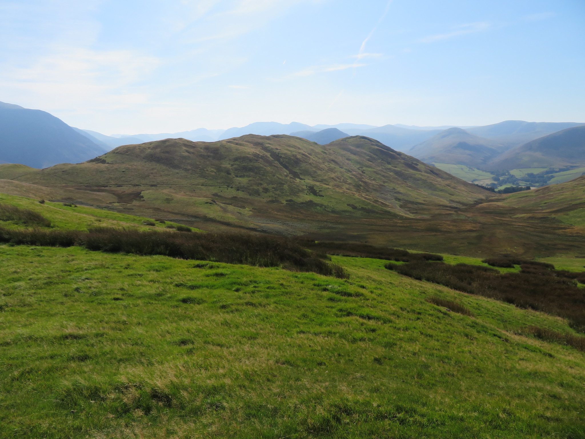 A view back towards Low Fell from Sourfoot Fell
 The small cairn of stones is - as it was last time that I was here - topped off by an old boundary stone marked with the letter M.
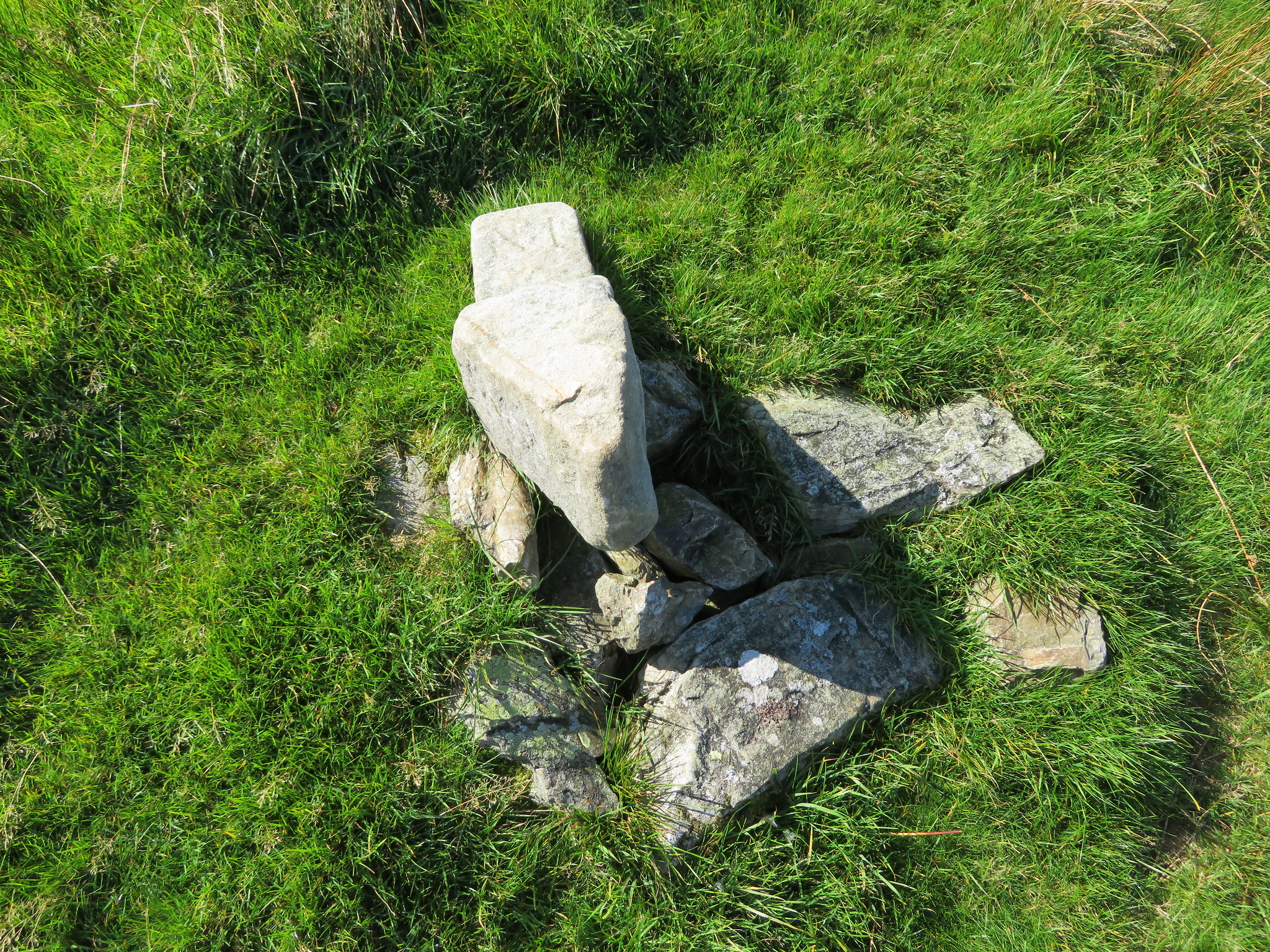 Old boundary stone on Sourfoot Fell
 Our continuing way forward to the north was easy to see from this 411 metre high Birkett as we looked across the lower top of Smithy Fell to see the much higher Fellbarrow.
 Smithy Fell and Fellbarrow from Sourfoot Fell
An easy walk down and then up on to grassy top of Smithy Fell didn't take too long and then another nice descent before the climb up to the summit of Fellbarrow with its stone built trig column and cairn of small rocks. A step over by the fence stile would have had us at the trig column but as there were swarms of thousands of small black flies about we refused to embark in battle with them so as we were on level ground Chris bagged this one as done.
 Fellbarrow summit and swarms of flies
 All we had to do next was to descend to the low area above Mosser Fell and make our way onto the last Birkett of Hatteringill Head…
 Hatteringill Head
 with its bank of small stones below a lovely little crag and a short and easy climb soon had on top of this one.
 Fellbarrow from Hatteringill Head
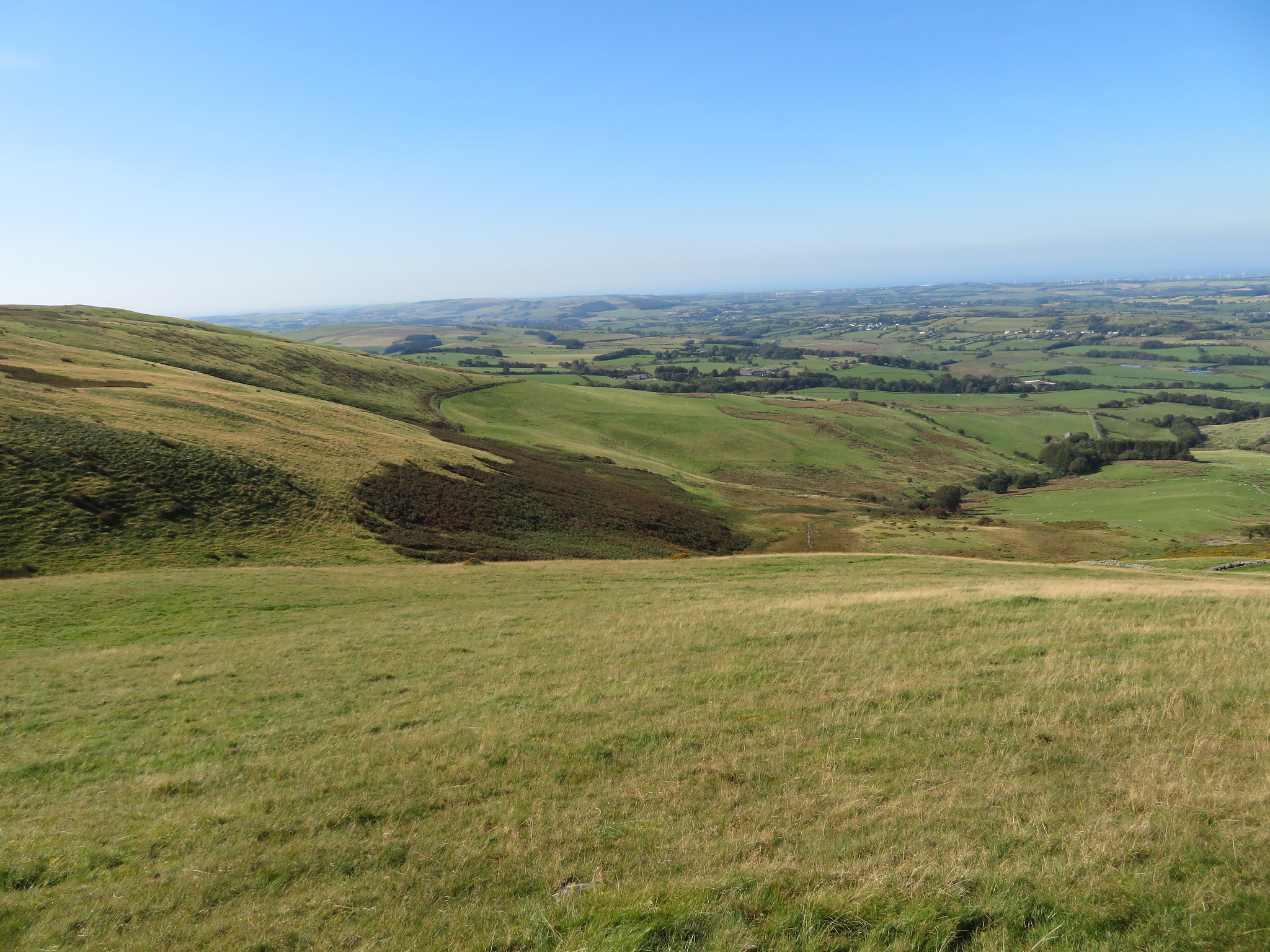 The view southwest from Hatteringill Head
 The last time that I was here it was with E and she insisted on making the climb back up on to Fellbarrow from where we struggled through a carpet of short gorse on our way down the southwest slope but today we will not be doing that as we don't want to repeat the climb and it's just too damn hot for all that. We had already decided to find our way along the bottom of Fellbarrow and had scoped out possible options whilst on Fellbarrow as we noticed a couple of paths or sheep trods snaking away through the bracken. We left by walking down the west side looking for a suitable gap in the wall but seeing none decided to follow the wall southeast back to a wall ladder stile that we had seen from Fellbarrow but before getting there a suitable gap appeared in the wall. Turning back to roughly the west we now followed the wall along a thin path that we followed around to the southwest to arrive at the gully just below the head of Sandy Beck where Sonny got a welcome drink of water seeing as how Chris - bad dad that he is - had left his water bottles back in the hotel room. To get to this point we had to negotiate a large swathe of gorse that fortunately had a narrow path running through it.
 A large carpet of prickly gorse
 The job was nearly done now as we made our way along the path walking through bracken first southwest and then turning south…
 Burnbank Fell - Blake Fell and Gavel Fell
 as we followed the intake wall around to the west to meet up with Mosser Beck and a good track that took us back onto the old Mosser Lane once again. So all we have left is a steady stroll along the old tarmac lane and look at the hills to our left that we had just walked over.
 Fellbarrow and Smithy Fell from the old Mosser Lane
  The old Mosser Lane
  Darling Fell and Sourfoot Fell
 A good 15 or 20 minutes of steady walking along the lane and back down past Miresyke had us back at the car in time enough for us to drive back to a local hostelry where a couple of pints of Thatchers went down quite well after such a hot day out on the fells. Chris was out on a farewell do later on so didn't want to be too late back in the northeast. A decent days walking on one of the better days of summer, although it's more or less autumn, was enjoyed immensely across these large grassy fells with lots of easy walking and mostly wide open views all round once at height. Five down and five to go Chris.
