free to be able to rate and comment on reports (as well as access 1:25000 mapping).
It was only nine days ago that I was up in this neck of the woods, 31st December, New Years Eve, a glorious day, a bit different to this day and also a day when I hadn’t fit Great Crag into the itinerary but today I’m with the indomitable Chris who was about to reduce his 4 remaining Wainwright’s required to complete, to 2.
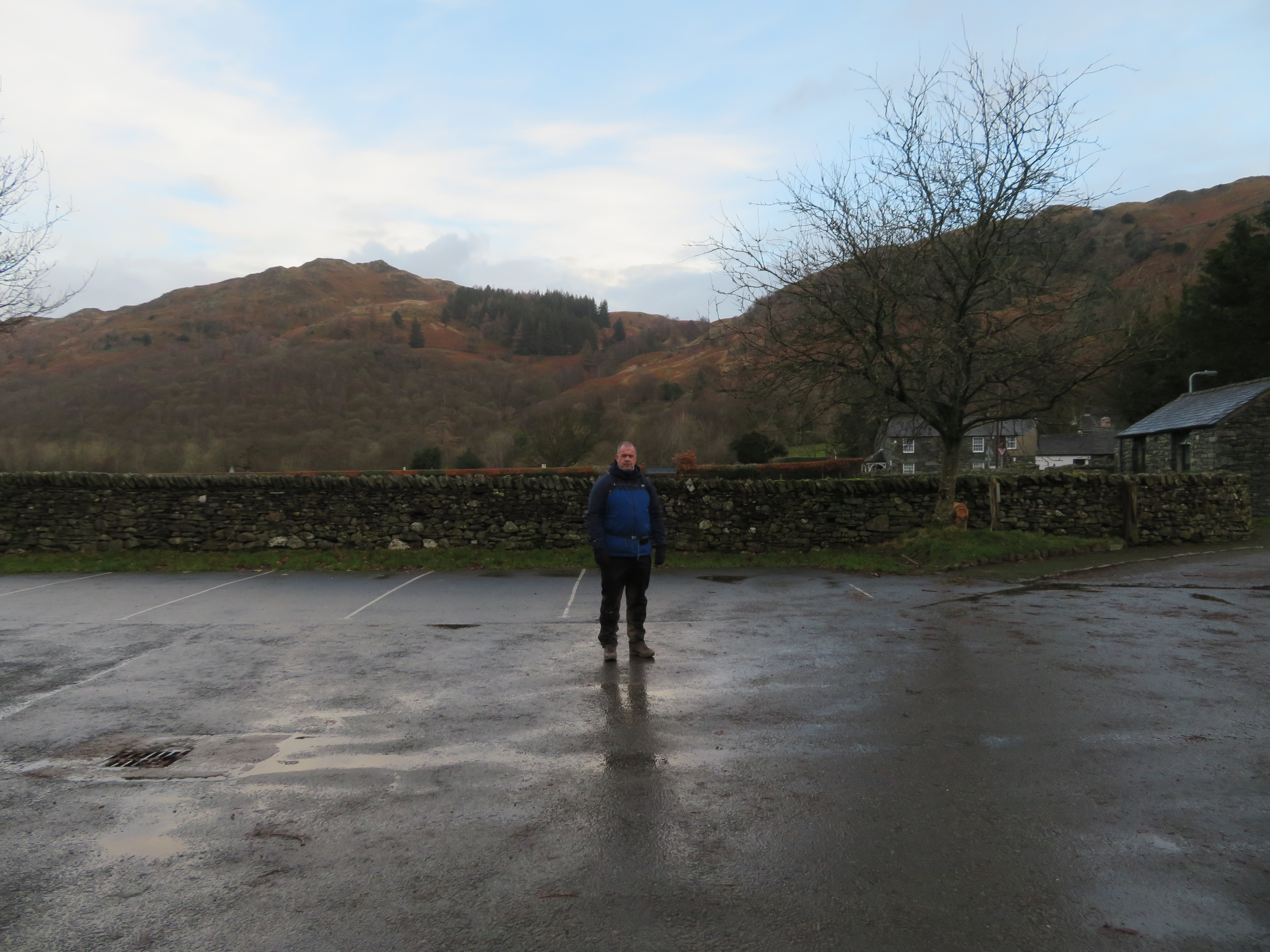
There were blue skies with plenty of clouds above after the night’s rain as we pulled onto the empty NT car park at Rosthwaite and as we climbed out of the warmth of the car the cold, damp air hit us with a vengeance. But it’s winter and there was a cold breeze to accompany the silence of Borrowdale as we donned warm coats and sturdy boots with Chris having his usual late out of bed breakfast bun before we set off to scale the heights of Grange Fell.
Our first hill of the day was to be Grange Fell aka Brund Fell which we could see from the car park.
 Brund Fell from Rosthwaite NT car park
 As Chris was on the cusp of completing his 1st round of the Wainwright’s I suppose that I could have expected some glimmer of excitement but there was nothing in him to show that was the case, maybe it was the controlled emotions of a north eastern working man’s nature. Ah!!
Out of the car park and a short walk down to the road before turning left and then first right over the bridge that crosses Stonethwaite Beck and we were on our way onto the fells via the track that runs in front/back of the Hazel Bank Hotel and to avoid the water across the track we took to the elevated walkway...
 Elevated pathway over the beck in front of the Hazel Bank Hotel
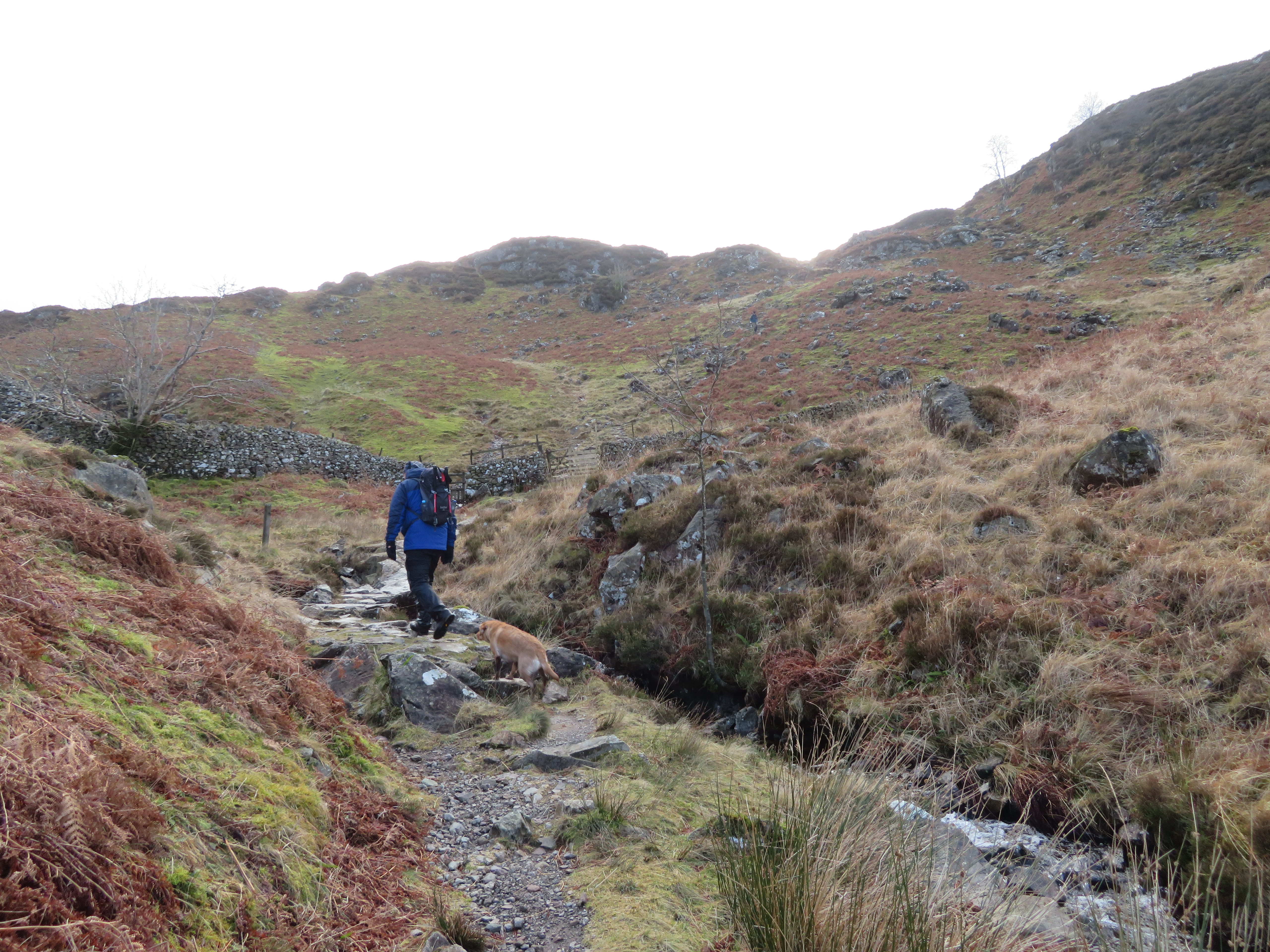
 before starting the climb up Puddingstone Bank that varies between loose stones and pitched stone that makes the going a lot easier.
 Pitched stone paving replaces the loose stones
 As we climbed ever higher towards the Resting Stone at about 220 metres a changing view unfolded behind us and one that we just had to linger and look at. There was plenty of cloud cover but still enough sunshine to splatter the fells in light of various shades of gold.
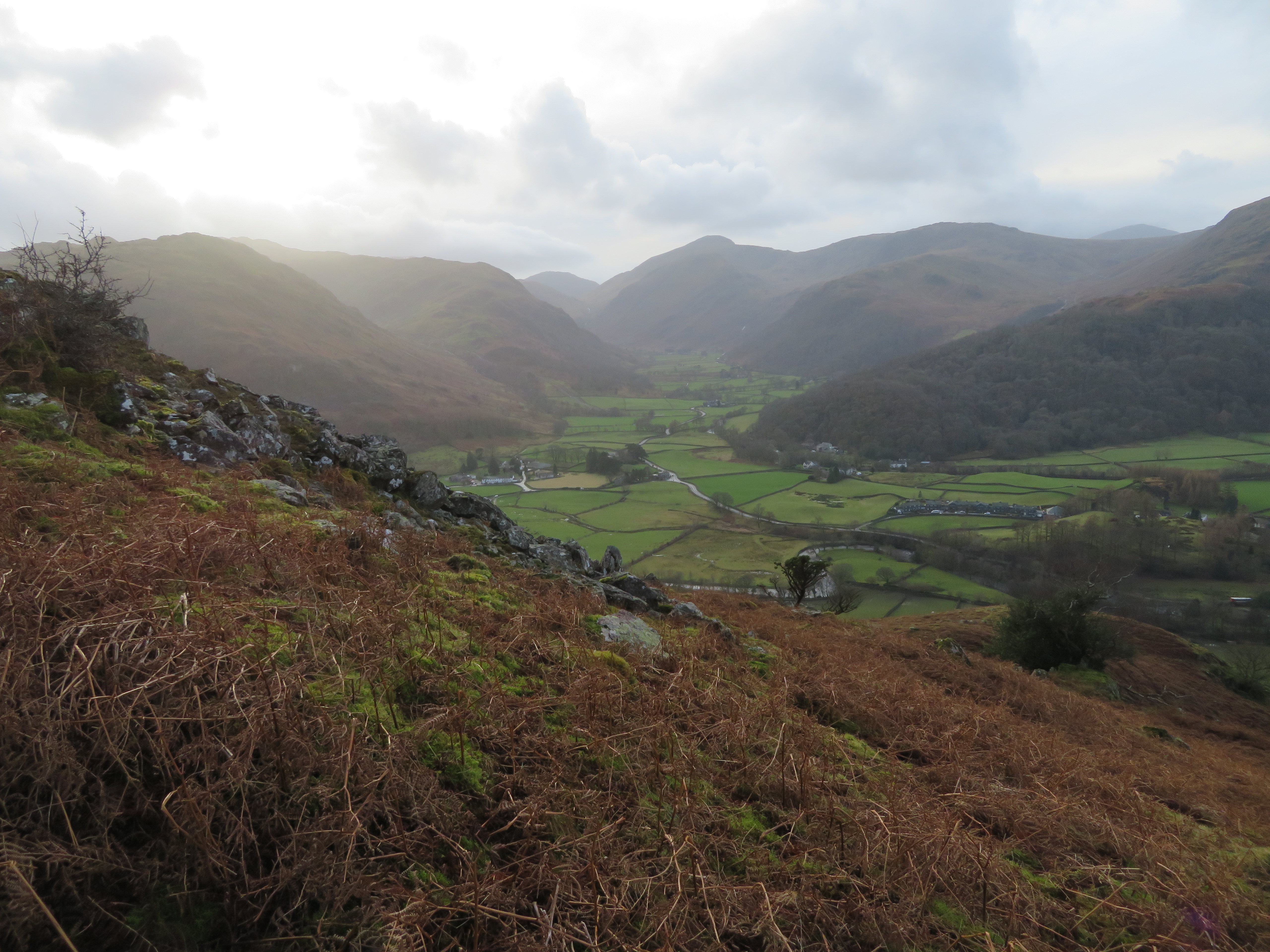
 A view across Borrowdale from Puddingstone Bank
  High Spy - High Scawdel - Dale Head centre
 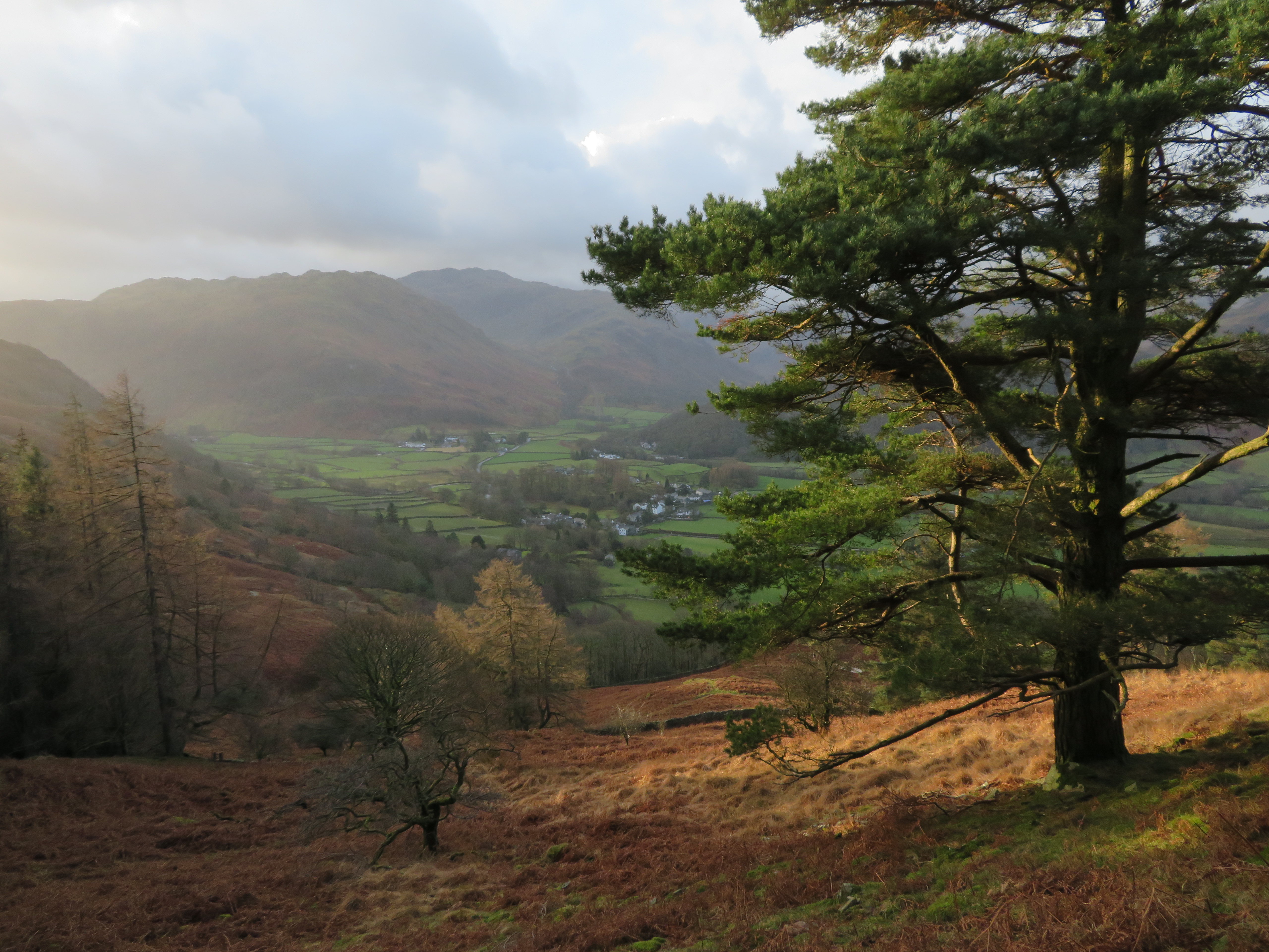 Borrowdale from Birkett's Leap
 After a steady climb we arrived at the Resting Stone where we then turned to the west passing through the gate to descend below the wood of Birkett’s Leap to reach the ladder wall stile that allowed us access into the wood itself. This path that we would follow up to the Y junction is fairly steep in its lower reaches especially the bit through the wood but once out of there it eases off quite a bit and we made steady going along the good path that is just a little rough with rocks in the odd place.
As we climbed King’s How appeared to our left.
 King's How from the south slopes of Brund Fell
 And to the west.
 Castle Crag - High Spy - Dale Head
 Soon enough the Y junction was arrived at...
 The way to King's How from below Brund Fell
 and we lingered here deciding whether to go over to King’s How or turn right and go straight for Brund Fell. Although Chris was initially going for only the Birkett’s that ‘were in the way’ we decided that this one was too close to miss so we went for the short walk and climb diversion to the top of this small but well positioned fell that gives great views in all directions with the view to the west mostly blocked by the bulk of Maiden Moor and High Spy, but otherwise they are superb.
Some of these views are to be seen on my last report of the 31st December when it was a glorious day and although a few are repeated it does show the great contrast in weather conditions that can alter a view so much in the space of a short time, sometimes in minutes. The last time I looked at this view just a few days ago it was clear with glorious sunshine and frost and ice on the ground.
 Derwent Water from King's How
 Chris with Sonny on King's How with Brund Fell behind
 All of a sudden the sun broke through the cloud sending out great spotlights of sunshine like some giant torch had just been switched on and it’s just a shame that I couldn’t get the full glory of them in the image.
 Rays across the fells
 The last time I was up here the ground was firm with the cold weather, but today after many hours of rain the day before and during the night ever since we turned off for King’s How the paths have been sodden, running with water and the ground soft soggy and remained so until we started the climb up the pitched stone paving to Great Crag.
 On the way to Brund Fell
 We stopped at the familiar sheepfold that is tucked into the low crags where welcome shelter from the cold wind was to be found and after a light snack and a warm drink was ready for the off again only for our warm stones to be taken by another couple who had just dropped off King’s How. After a few pleasantries we parted company to see them only once again in the far distance.
Brund Fell summit was soon reached after our short but welcome break and apart from the low cloud cover and hazy conditions giving us the views that are to be expected from this 400 metre high fell. But hell it was cold and windy.
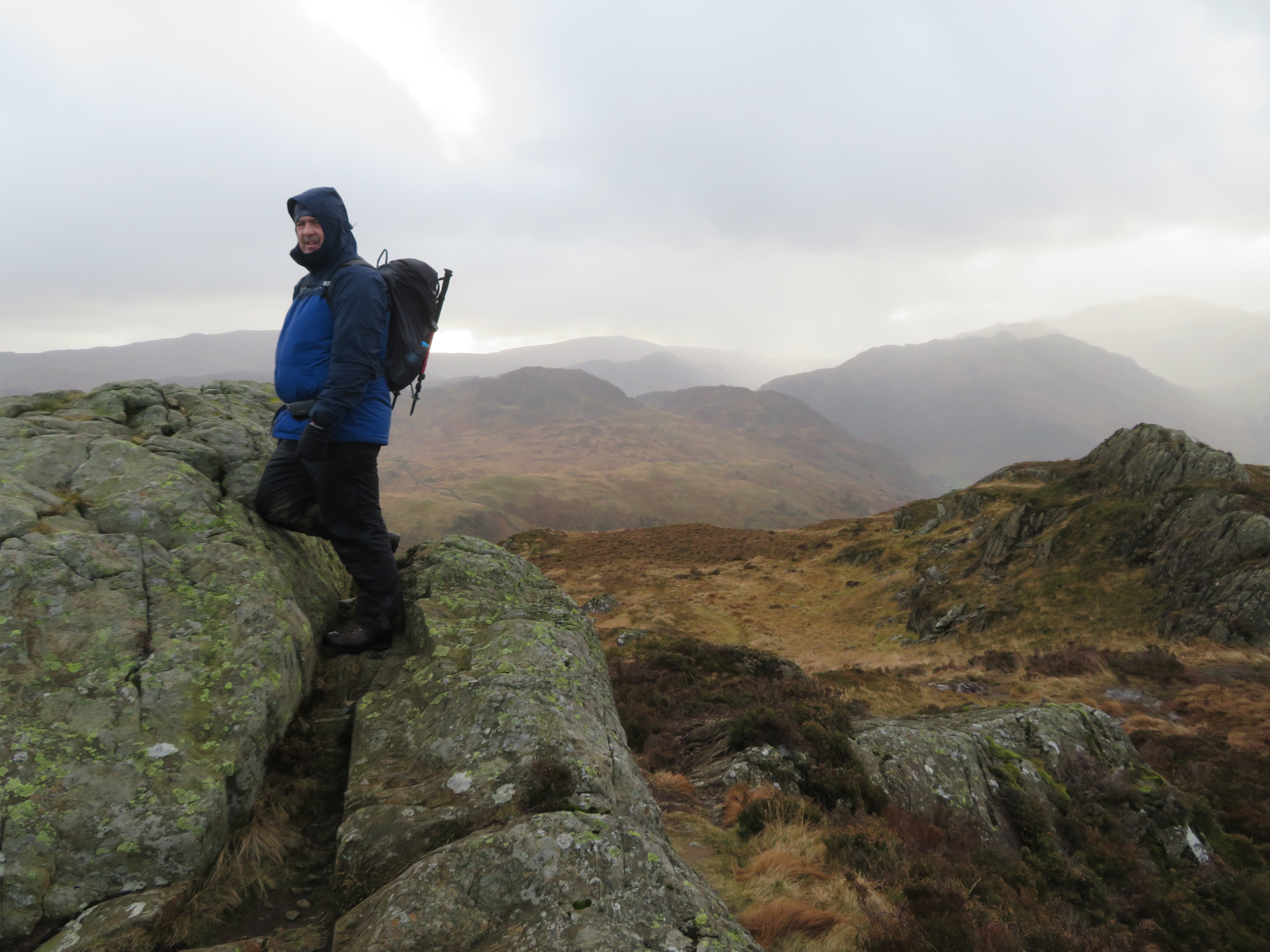 Wrapped up against the cold wind on Brund Fell
  Grange Fell from Brund Fell
  Jopplety How with High Seat behind
 Looking south across the top of Brund Fell
 We didn’t stop for very long as I had difficulty holding myself steady against the wind when taking photos so within a few minutes we were off again to make our way to the top of Puddingstone Bank and our next hill.
 Leaving Brund Fell behind
 A look ahead of us showed a cloudy sky with a very bright patch where the sun was trying to defeat the clouds into submission but only managed to make the far fells a hazy silhouette behind the much closer Great Crag.
 A view towards Great Crag - Ullscarf and High Raise
 Once again the path from Brund Fell to Puddingstone Bank was very wet and slippery and a little patch of green and scattered trees that marked where the hamlet of Watendlath was soon coming into view down to our left.
 High Tove to Standing Crag behind Watendlath
 The state of today’s paths can be seen on the next photo.
 Descending to Puddingstone Bank
 Down the fell, over a ladder stile and down to the gate at the top of PB and we were all but halfway over to Great Crag...
 Great Crag ahead
 and the going gets no drier.
 Very wet underfoot
 Nonetheless we arrived at the next wall and gate that would put us onto an area of ‘protected’ wetland with this sign reminding all who pass this way of that...
 Wetland path diversion sign
 although it is quite obvious by the well trodden path that many walkers tend to ignore the request even though the area to cross is very wet. This is where we turned to the east to follow the path alongside the wall before swinging around to the south and the steady climb up to the next wall and gate with a view of Watendlath Tarn now in sight.
 A view over to Watendlath
 And no respite from the water as we began the climb.
 Start of the climb up to Great Crag
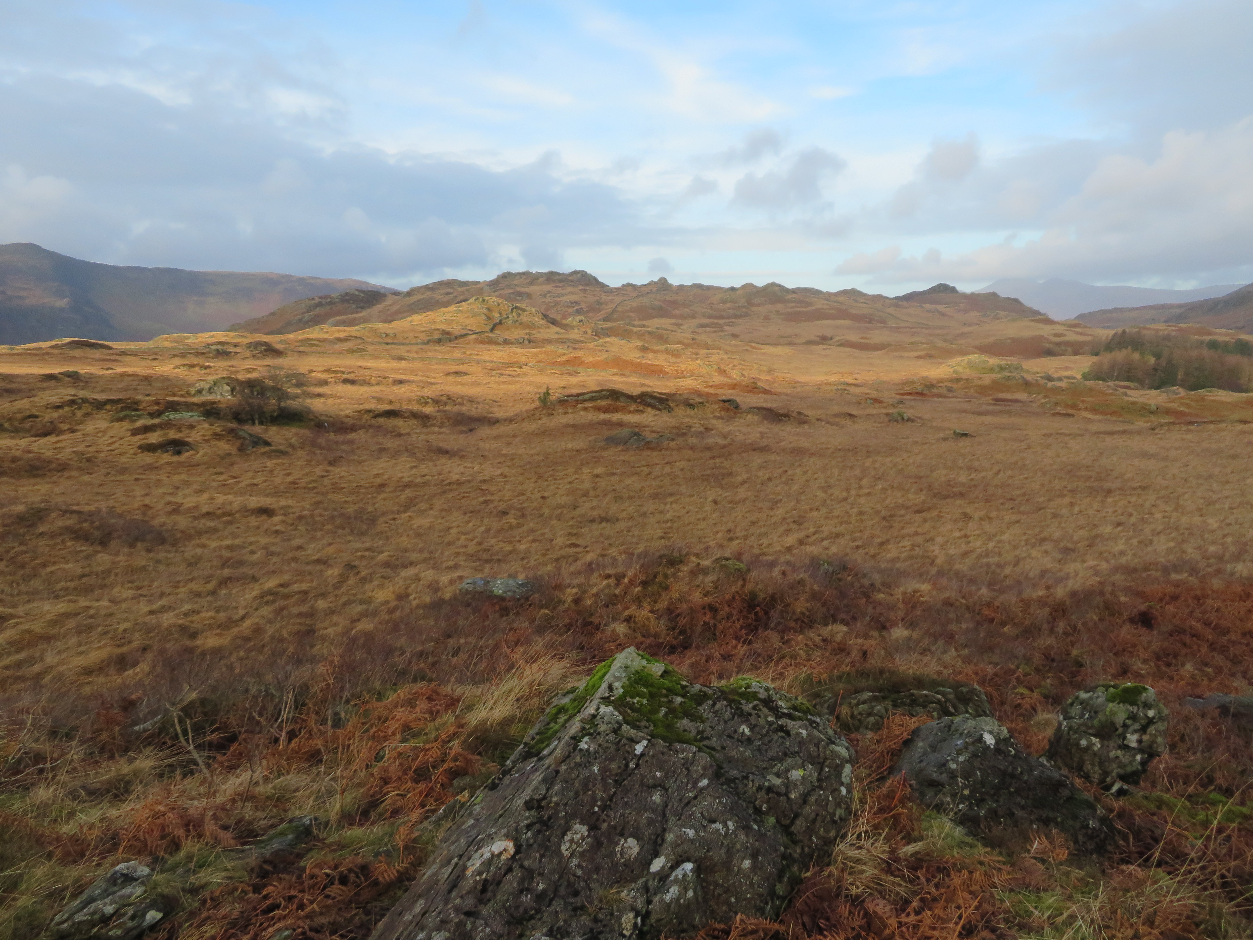 Looking back to Brund Fell
 As we climbed up the nameless beck that finds its way down to Watendlath Tarn we arrived at the intake wall from where the pitched stone path gets quite steep.
 The path to Great Crag steepens from the wall
 From the top of the main path and where we would turn off to our right for the one that goes on to the summit we got a better view of Watendlath and the fells behind.
 Looking to Watendlath and High Seat
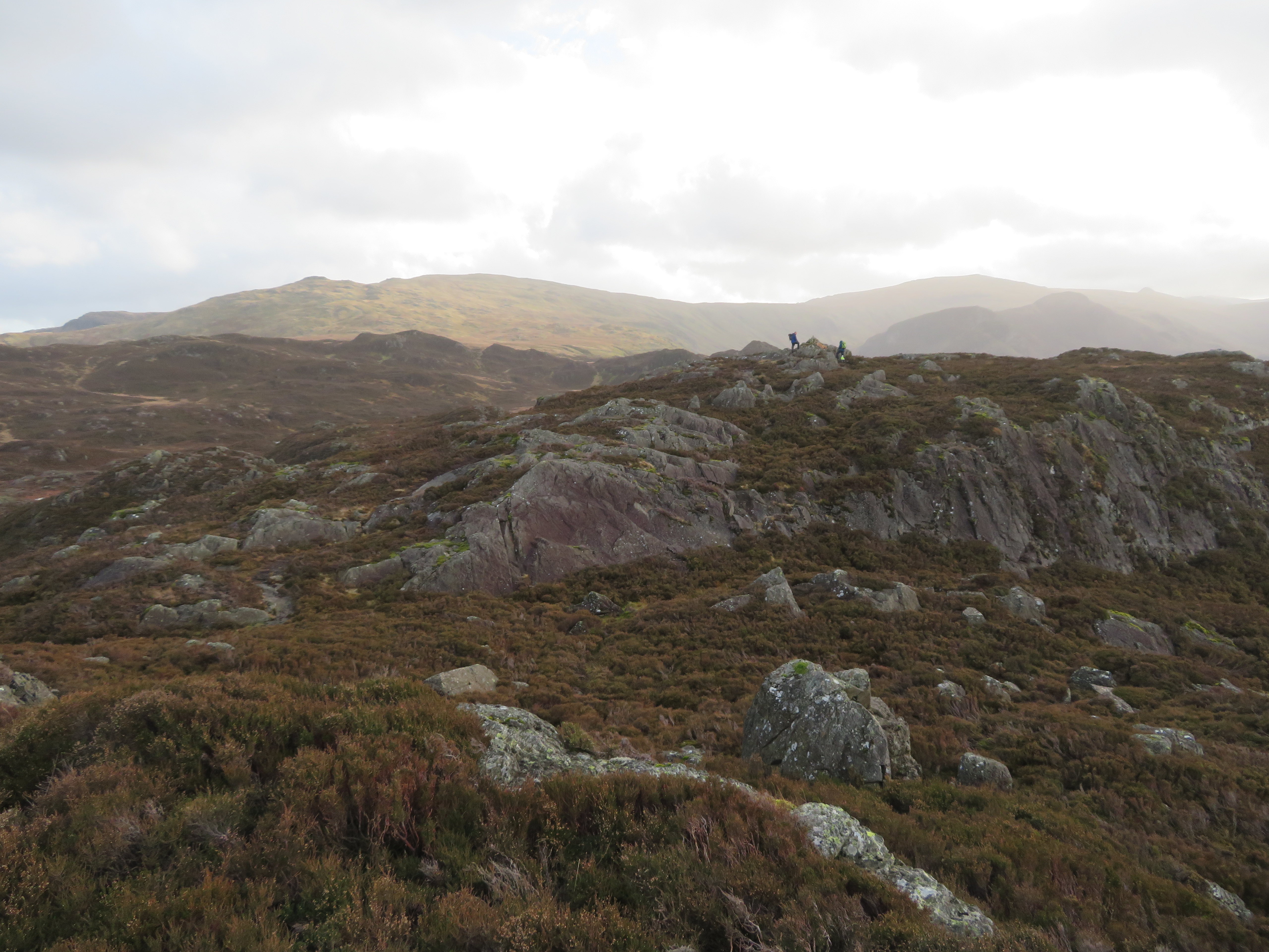
 Five minutes later we were standing on the north summit with some other walker and his dog over on the south one.
All the fells mentioned previously are to be seen from this viewpoint and we could even see the top of Harrison Stickle of the Langdale Pikes. As can be seen, this summit is quite a long one separated by a shallow heather filled hollow.
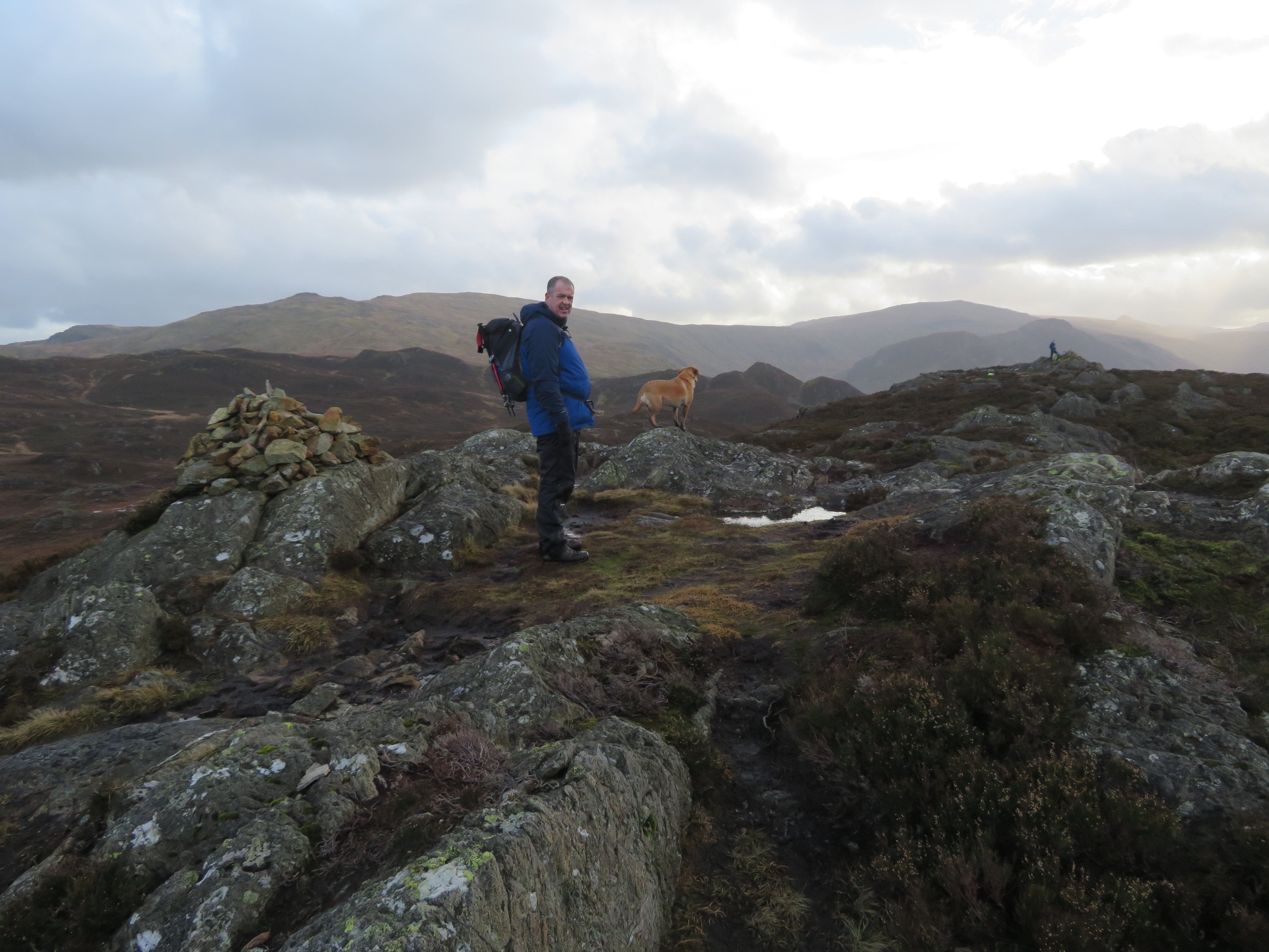 Chris and Sonny adorn the north summit of Great Crag
 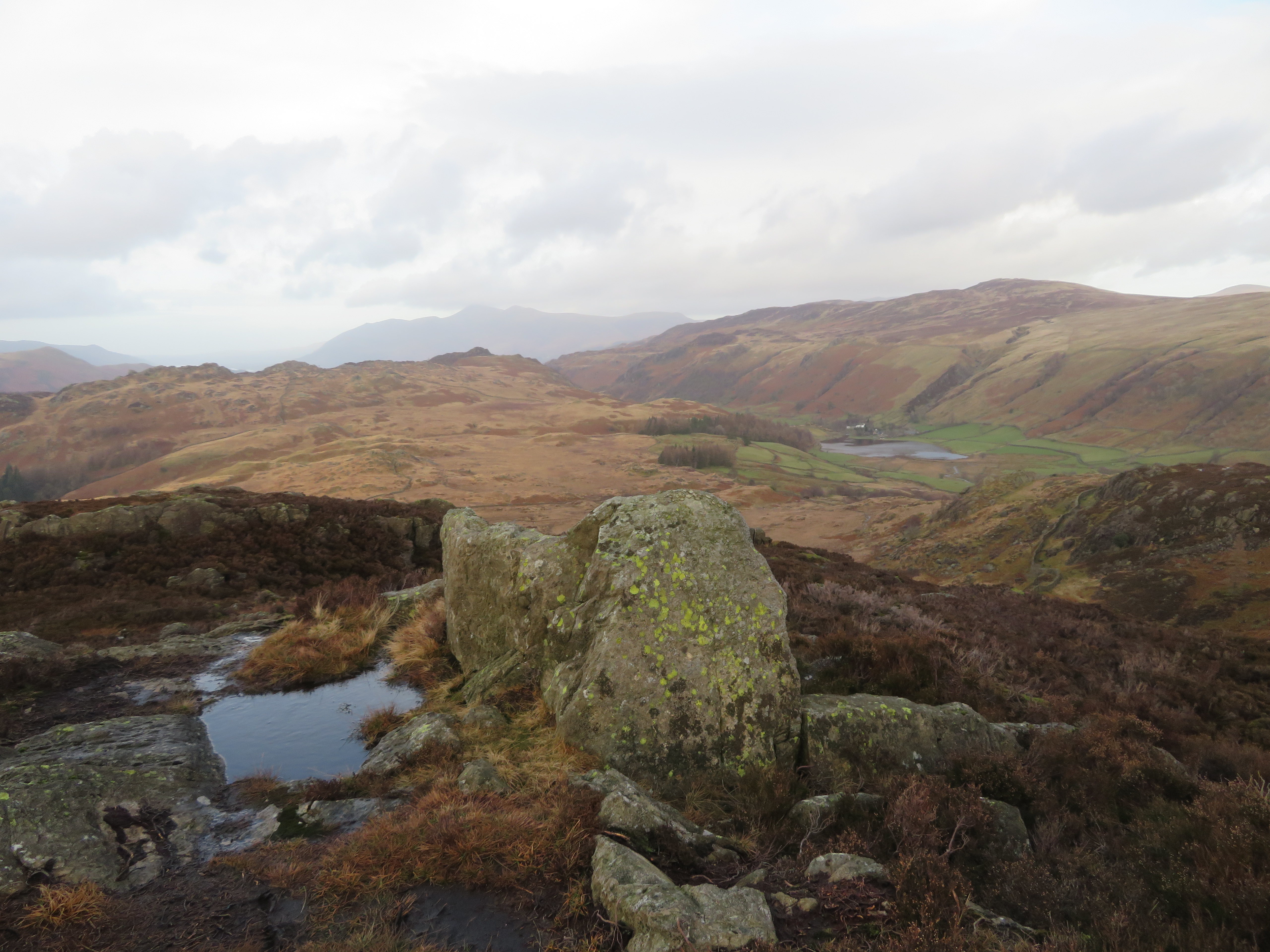 A northern view from Great Crag
 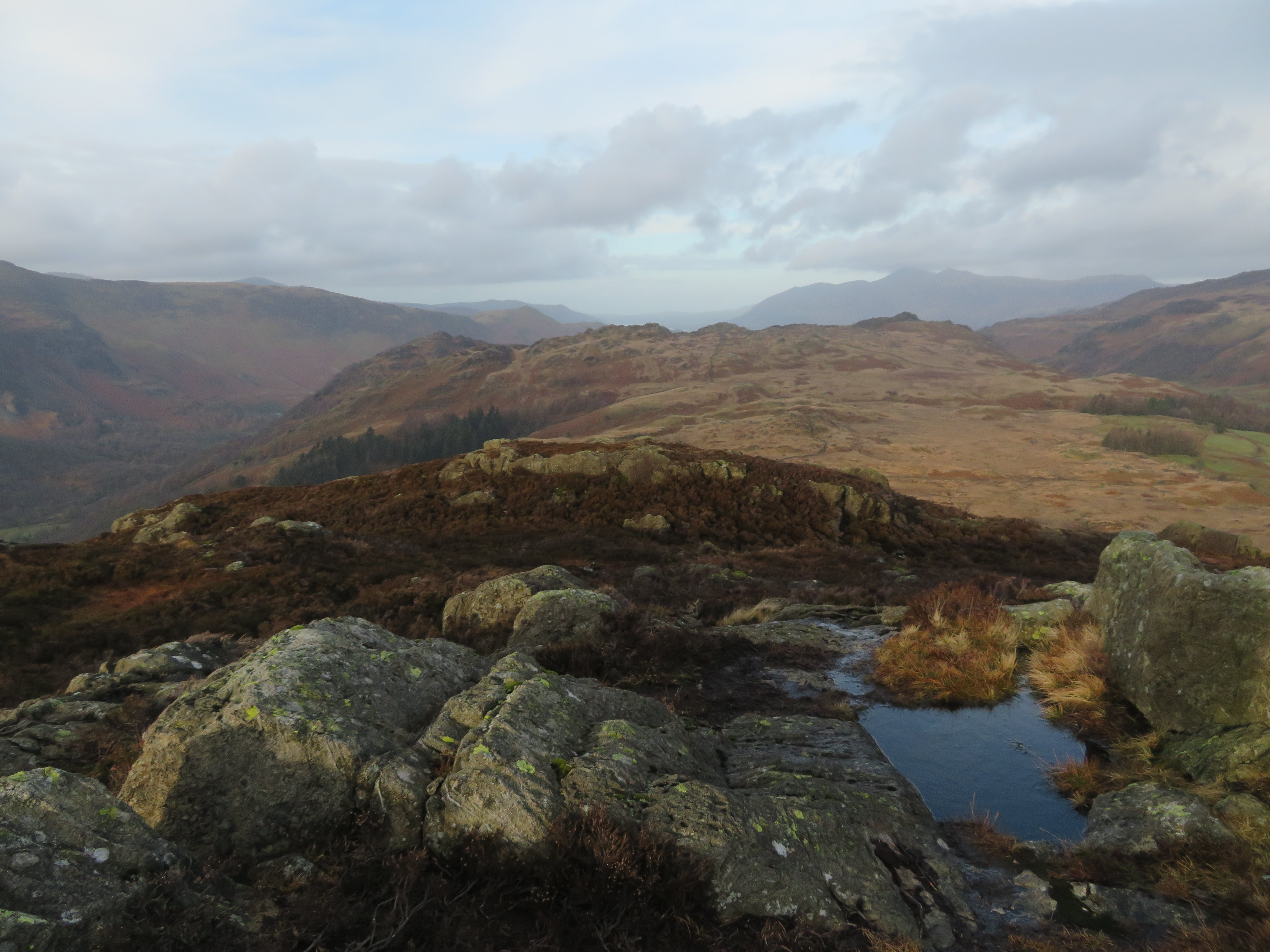 North towards Skiddaw from Great Crag
 Chris wandered off to have a chat with the other walker on the south summit.
 South across the top of Great Crag
  A western view from Great Crag
  The view back towards Brund Fell and King's How
 I moved from north to south and joined up with Chris again as the other chap disappeared out of sight.
 Great Crag north summit
 Now the plan was to leave here and head off towards Dock Tarn and follow the usual path to then descend through the wood at Lingy End and pick up the path that goes up to Greenup Edge but it didn’t quite work out that way as a mini adventure was just about to unfold.
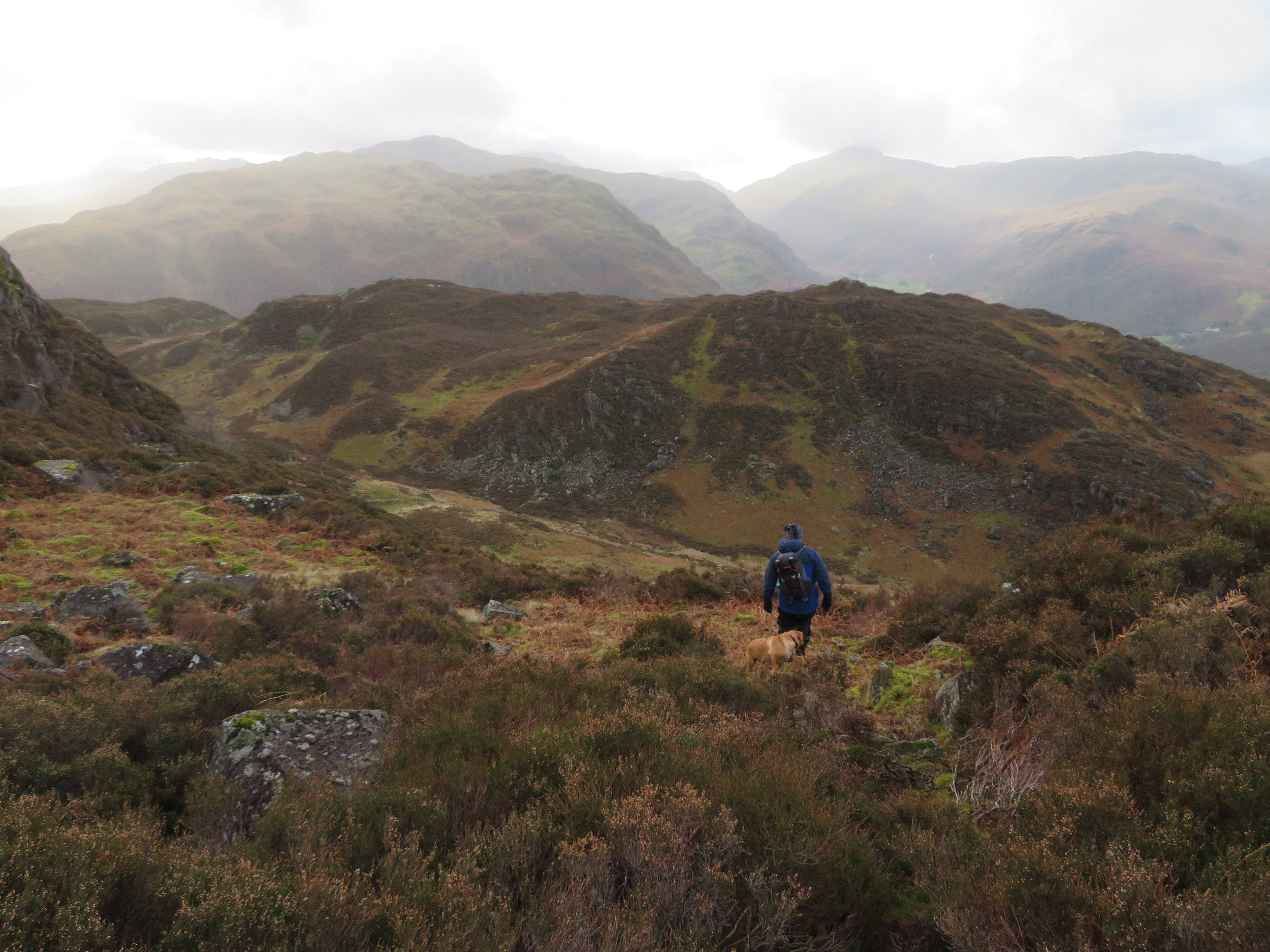
The walker who had been talking to Chris had taken a route directly south as he told Chris that he was heading straight back down to the valley bottom so we had a chat about this other option to the Dock Tarn route and as Chris wasn’t too bothered about seeing Dock Tarn beautiful as it is we set off south to drop down into a heather filled col from where at the base of the crag before us there was a path going off to the west around the side of the crag. As we couldn’t see the other walker this is the way we presumed that he had gone. So, off we went.
 The way we went down from Great Crag
 This path is quite obvious to begin with and really can’t be missed...
 Knotts - White Crag and Lingy End
as it drops at an easy gradient before starting to get steeper with scree no underfoot.
 A bit of scree to start
 This ‘path’ all but disappears as it gets lower down and at one point we had to cross over a rocky ledge that was covered by overhanging heather but after stamping it down the ledge was easy enough to negotiate.
After the scree there was more heather but still the hint of a path there and I was wondering if this was merely a sheep trod but no, at various places it could be seen where in the past obvious steps had been formed in the softer ground so maybe this was one of those long lost and unused paths.
 Then some heather bashing
 There are rocks to contend with but we’ve done and seen worse than this so we carefully continued to make our way down to the shallow trough that lies between Great Crag and Knotts/White Crag and eventually arrived at the wall that we had seen from higher up.
Now, which way to go for the best? We came this way for a short cut but if we turn back north just now we would be climbing as the wall did back up the fellside and re-ascending is something that we didn’t want to do. Going south meant that it may not be a short cut as we would just arrive at our original route at the far side of Dock Tarn so that somehow seemed to defeat the shortcut theory. We tried to work out the walls on the map and decided to walk to the south and follow the wall around to an old sheepfold that is tucked under the crags of Knott from where there is a gate that would put us into the shallow grassy depression through which an unnamed beck runs through the centre. Maybe this way we had taken was an old shepherd’s path.
 A walk behind a wall
  Sheepfold below Knotts
 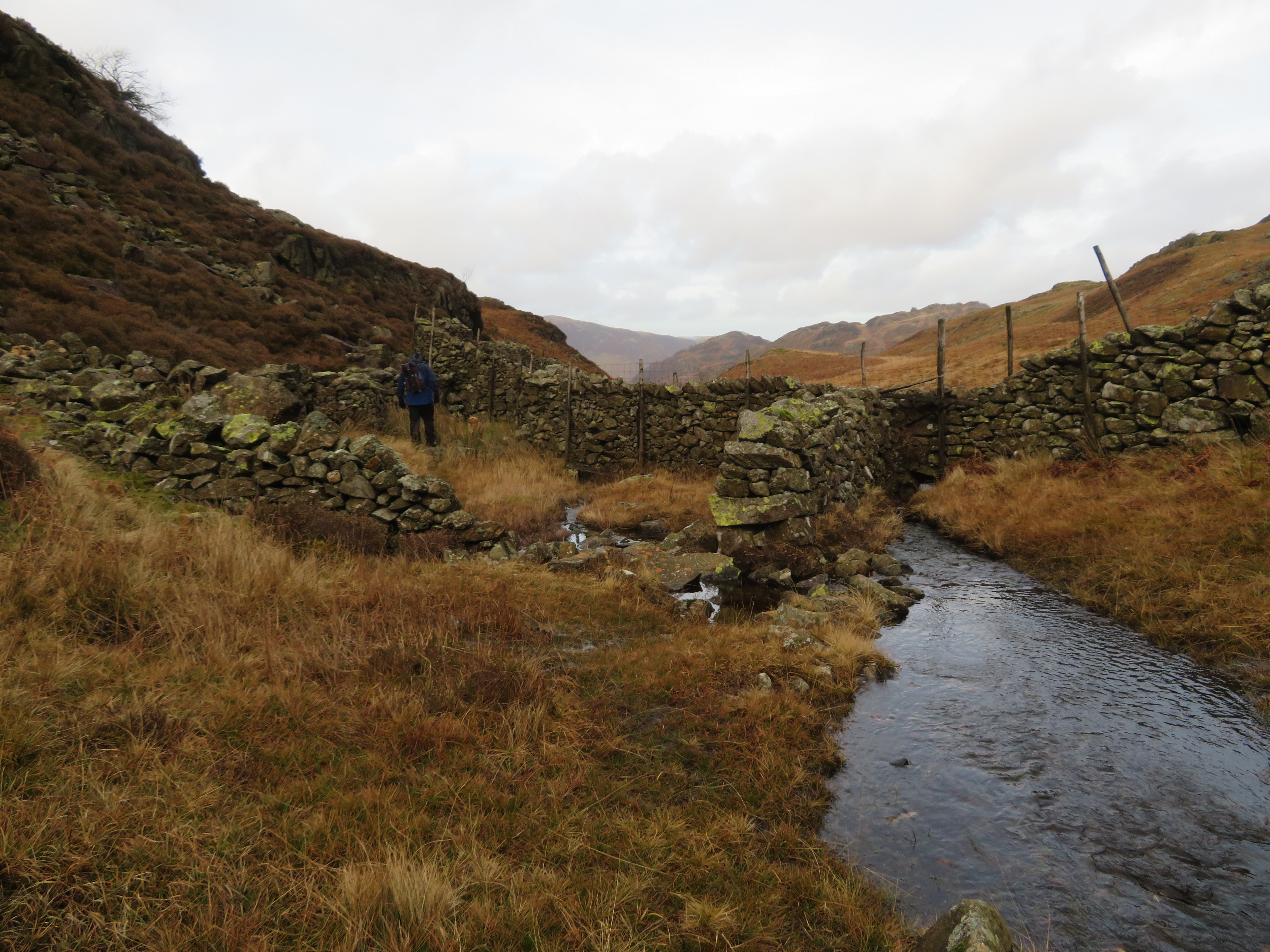 Unnamed beck by the sheepfold
  Great Crag west face
 There were quad bike tracks running the length of the depression that boded well for our descent but after following these for a while they just ran out of steam and disappeared. We continued descending following this and that faint tracks until we came across another wall that had a short broken length of fencing where the wall met the beck as it left the grassy depression. From the fence there was a definite path...
 Castle Crag - Maiden Moor - High Spy - Dale Head
 so we hopped over it to follow it down the fellside to reach the next wall that we followed north to cross one more beck...
 A faint path alongside the wall
  Brund Fell and King's How
 and a short climb before turning to the west again to follow the last wall...
 We followed the wall down the fellside
 that we strode over at a broken section even though there is a wall stile further down the fellside. We were now more or less behind the Hazel Bank Hotel where more obvious paths lay on the ground. Our little adventure was almost over with just the fairly steep and muddy paths to follow.
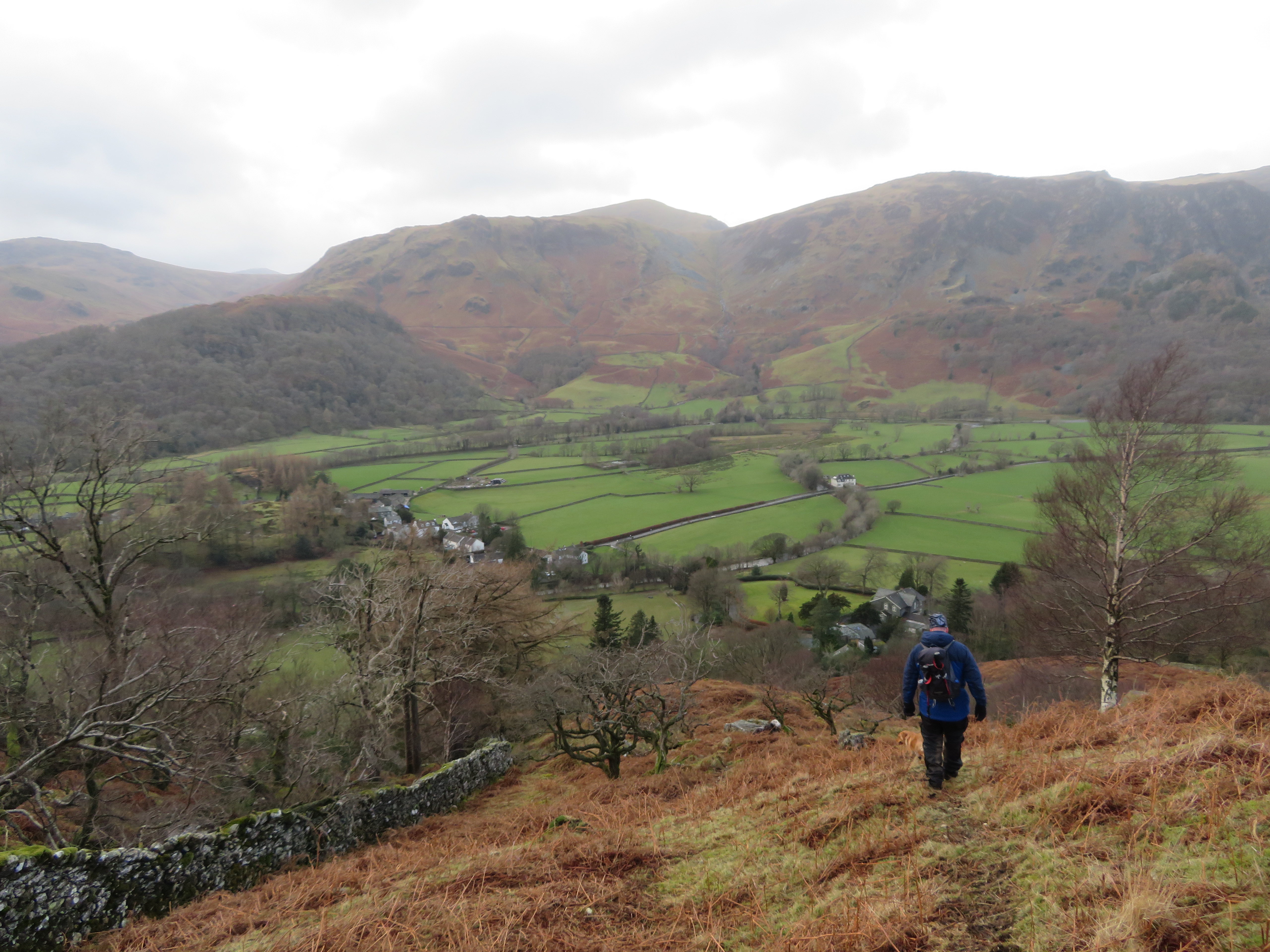
 High Doat and others behind Rosthwaite
Before getting down to the regular path we stopped under a small crag for a well earned break looking at the view spread out before us and thinking that it was worth the game of find the path when relaxed and looking at views such as this.
 Along the dale towards Seathwaite
 Re-fueled and rested we set off on the last leg...
 Descending behind the Hazel Bank Hotel
 a slippery walk down to meet up with the path that links the Grenup Edge one to the one at the foot of Puddingstone Bank. We turned south once again until we came across the last part of our original route and took the final steps back into Rosthwaite.
Another decent walk with an unusual exit from Great Crag and one that I don’t think I will use again as it’s not really a quick way off although I do now know the way. Coming off this way did give us some different views of the surrounding fells and we’ve seen places that we hadn’t before been to so that was a bonus. Where the other walker got to we’ve no idea ‘cause we never saw him again and maybe we were mistaken in thinking that he had left Great Crag by some other and similar route to us. Underfoot conditions were dire up on the fells and it’s a long while since I’ve had my boots so wet and thankfully they are still waterproof and with the extra protection of my Sealskin socks my feet were kept warm and dry.
A cold and windy day that allowed Chris to reduce his tally of Wainwright’s by two and now leaving just Tarn Crag and Place Fell to complete his 4 year mission.
