free to be able to rate and comment on reports (as well as access 1:25000 mapping).
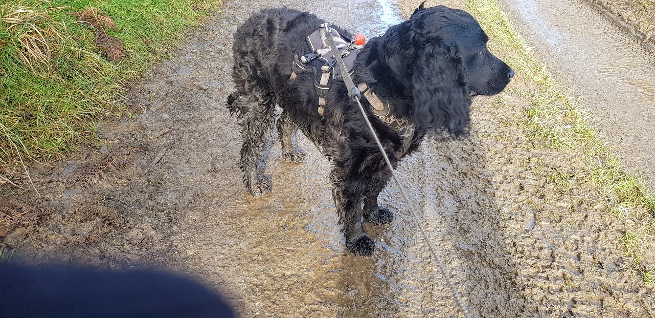
Hello again people and pooches. Joe the Cocker here again after another great hike with my ‘hudad’. Overnight the weather at home was pretty miserable but on the Clwydian Hills there had been some snow. Not like this time last year but enough to tempt us to get the winter hiking gear out and packed into a rucksack for a day’s trip to the Moel Famau area. He microwaved soup for the flask and a cheese sarnie for himself and my food and snacks bagged we set off on a 45 minute car journey to North Wales. He decided to park about half a mile outside of Cilcain in a small layby/carpark at a viewpoint looking at Moel Famau. When we approached the hills we noticed a distinct lack of snow in the area. Just a few patches lay on the hillsides. It was a bit disappointing but, it was too late in the morning to drive further into the more mountainous areas otherwise our hike would have to be much shorter than planned due to the shortened daylight hours. It was cold but not freezing enabling me to walk without a coat. My natural coat was getting a bit fluffy so I had plenty of insulation and my dad always brings a coat for me, just in case.
 20200128_115551
 by
Mal Davies, on Flickr
I was treated!? to a rendition of ‘The River’ by Bruce Springsteen as we got out of the car. This was to haunt me all day. Why he chose that song, as we were to walk over hills without a river in sight, I don’t understand. I was more interested in the chirping of birds hiding in hedgerows anyway. I put up with him because he has his uses such as driving me to places, feeding me and, well, I can’t think of anything else.
 20200128_121039
 by
Mal Davies, on Flickr
After much faffing around we set off along a tarmacked lane towards Moel Arthur. We passed a few buildings with barking dogs in the yard just after a road junction but we were soon into the tranquility of the hills. The track became a potholed, muddy affair as we enjoyed the views of the surrounding rolling hills. We were only fifteen minutes into the hike and I had managed to get really muddy. Bliss! We followed the track as it passed through grazing areas populated by heavily pregnant ewes. I was on my lead and walking to heel along this section. In fact, I was on my lead for most of the day. We passed through a small valley with a steep climb to our left and a well established conifer plantation to our right. Soon we left the track through a large gate to turn onto a short section of narrow road with Moel Arthur looming above us.
 20200128_121924
 by
Mal Davies, on Flickr
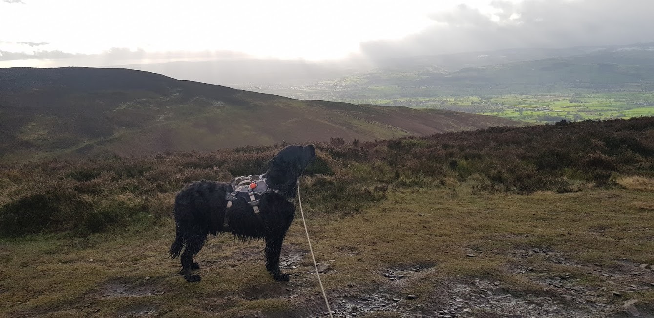
Moel Arthur, or Bryngaer, is the site of an iron age hillfort, the smallest yet oldest in the area. Evidence of burial mounds shows that it was also used in the bronze age. It also has the remains of activity from a 19th century, short lived, gold rush. We left the minor road to climb up the muddy slippery path to the summit. Initially, the path shares the Offa’s Dyke Way before turning left to the top of the hill. It was windy on the summit and my floppy spaniel ears were permanently 90 degrees from my head. My dad was busy attempting to take some photographs and trying to identify distant sights. The view toward Penycloddiau hillfort in the north was stunning as was that overlooking the Vale of Clwyd. We didn’t linger long as it really was blowing up there.
 20200128_125752
 by
Mal Davies, on Flickr
 20200128_125807
 by
Mal Davies, on Flickr
As we descended from the hill we met a very smart young man riding a horse. I thought that we were witnessing a bit of a disaster as the horse slipped on the muddy narrow path. It was like watching Bambi trying to walk across the ice in the Disney movie. Its legs were pointing in all directions as it skidded, out of control downhill. Fortunately, all was well as it managed to prevent a nasty fall. The rider looked visibly shocked and relieved. We soon reached the point where we had joined the summit path and retraced our steps downhill. We took the opportunity to sit on a bench by a small carpark at the foot of our next climb. Lunchtime was brought to an abrupt end as we felt a few drops of rain. The black clouds above looked as if they were going to soak us with their contents. Fortunately for us this didn’t happen. I don’t think that I am being dramatic when I say that we are a magnet for any rain shower but, we do seem to get more than our fair share of soakings.
20200128_125807 by
Mal Davies, on Flickr
We eyed the very steep path up the opposite hill that was to be our next climb. So, off we went with me chasing birds and my dad puffing and panting. What is wrong with him? I could run up these hills in my sleep! The path followed the route of Offa’s Dyke Way in a southerly direction towards Moel Famau. Once we reached the top of the climb and the big feller had regained his breath and his composure the route to Moel Famau looked like a walk in the park. For most part the track was quite wide, very easy to follow and only undulated slightly. The wind, however, was cold and biting, producing rosy red cheeks on my dads face. Or was it the uphill trudge that we had just completed? After a short while we came to the approach to the Jubilee Tower on the summit of Moel Famau. This proved to be a good place to have our second breather of the day. We were ready for it!
 20200128_151701
 by
Mal Davies, on Flickr
 20200128_151302
 by
Mal Davies, on Flickr
 20200128_151411(0)
 by
Mal Davies, on Flickr
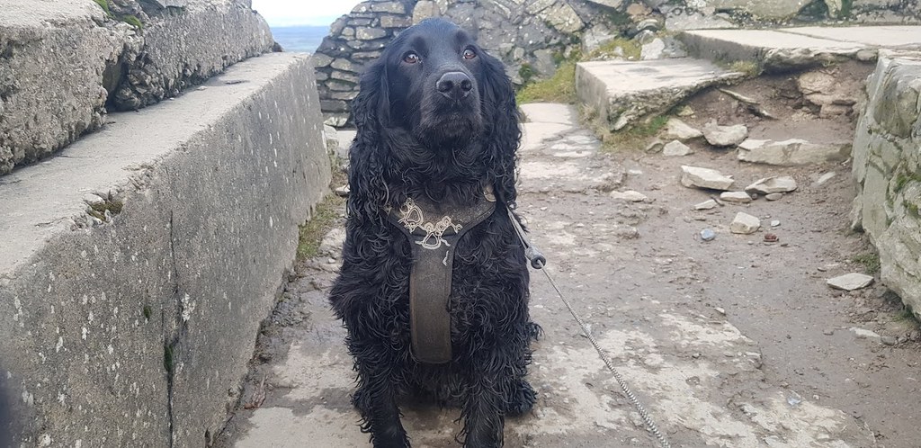
Moel Famau is the highest point in the Clwydian Range and is very popular especially at weekends. On this day there was only ourselves and a couple of other walkers. The tower that sits prominently on the summit was built for George III’s golden jubilee in 1810. Originally, a tower was in the process of being built in the centre of the structure but, it was destroyed in a storm in 1862. The ensuing rubble was used by local farmers to build dry stone walls in the area. Plaques have been provided on the structure pointing out the distant features of North West England, Snowdonia, Winter Hill and even Blackpool Tower. The vista on this day was vast but not quite as far as Snowdon or Blackpool. The skies were menacing again with black clouds, hail showers and dazzling beams of sunlight making it difficult at times to pick out distant features. Luckily for us the tower provided some shelter from the weather and we used the time to stop to have break number two.
 20200128_151317
 by
Mal Davies, on Flickr
 20200128_145332
 by
Mal Davies, on Flickr
We continued along Offa’s Dyke Way, through heather clad hillside, down to Bwlch Penbarras where there is a popular carpark for the hill walk. When we reached the car park we turned into Coed Moel Famau, following forest trails for a couple of miles. It was a relief to be sheltered from the cold wind which was howling through the trees. We crossed another summit trail that leads from Loggerheads, a popular starting point for the walk up to the Jubilee Tower, as we soon left the forest behind us. On turning right across more muddy open land we walked gradually downhill passing a small lake on our right until we met a road immediately before another small pond. My dad chose this road to follow to take us into the small village of Cilcain. St. Mary’s Church stands in the centre of the village and dates back to medieval times. It is believed that cockfighting used to take place in the village after church services.
20200128_145332 by
Mal Davies, on Flickr
It was only a short walk north out of the village on country lanes until we reached the car. We had been lucky with the weather. OK, it had been cold and blowing a hoolie but the rain had held off. We missed out on the snow unlike twelve months previous when we had hiked on Moel Famau. All that was left now was for my chauffeur to drive me home while I snored in my bed on the rear seat of my chariot! Till next time!
