free to be able to rate and comment on reports (as well as access 1:25000 mapping).
It was Monday 18th February 2019 when I last did this walk with Chris on a very wet, cold and windy day when we started the walk from a small parking area on the west side of Thirlmere, just north of Dobgill Bridge, but today the walk will start from the Steel End Car Park at the south end of Thirlmere. Today I’m walking with E and Martin again, both being Ullscarf virgins, on a day that was mostly cloudy with the odd sunny period and as it has been very warm and humid for the last few days so it was today with a forecast of rain showers during the afternoon that proved to be a spot on prediction.
I chose this route along the Wyth Burn valley for a couple or so reasons, the first of which was that I hadn’t been this way for quite a few years so it would be good to refresh the memory of the route, it’s a good walk in with decent and changing views along the valley, a lovely burn to follow with interest around The Bog area and good views once height has been gained. It’s also a quiet way to go.
Leave the car park and turn left at the road towards Stockhow Bridge where there are two small gates, one either side of the bridge. Ignoring the first one that has a footpath marked on the map we elected to take the second one on the left side of the bridge that despite the OS Map declaring that there is no path, there is. An awkward step down from the gate put us into green pastureland with just the first faint makings of a path that roughly follows the fence line to its termination way along the valley from where it does a turn to the left that allows access through a gate onto open fells.
 Start of the walk from Stockhow Bridge
 The clouds although filling the sky was still above the high fells and the slopes of the Helvellyn range, Seat Sandal and Steel Fell with West Head Farm huddled between them were clear to see.
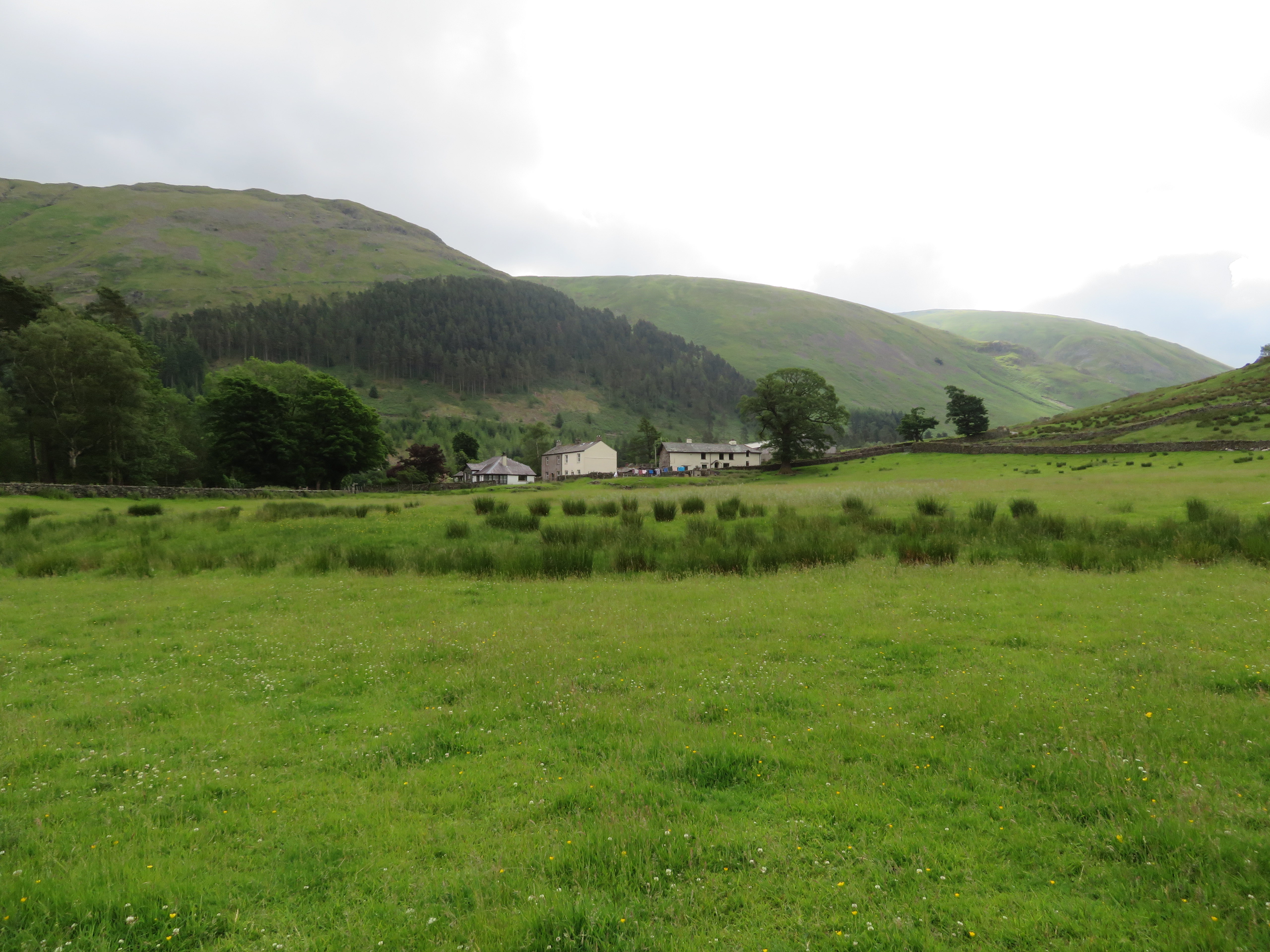 West Head Farm at the foot of Steel Fell
 Despite the cloud and damp atmosphere it was fairly warm and humid and before we had gone too far a few small patches of blue allowed a touch of brightness to hit the ground here and there. Wyth Burn is rough and ready, full of cobbles giving an indication of how wild this water could get after a bout of heavy rain, and the colourful foxgloves that lined the banks in profusion added a welcome touch of cerise to an otherwise green and craggy landscape.
 Wyth Burn with Nab Crags right and Rake Crags far left
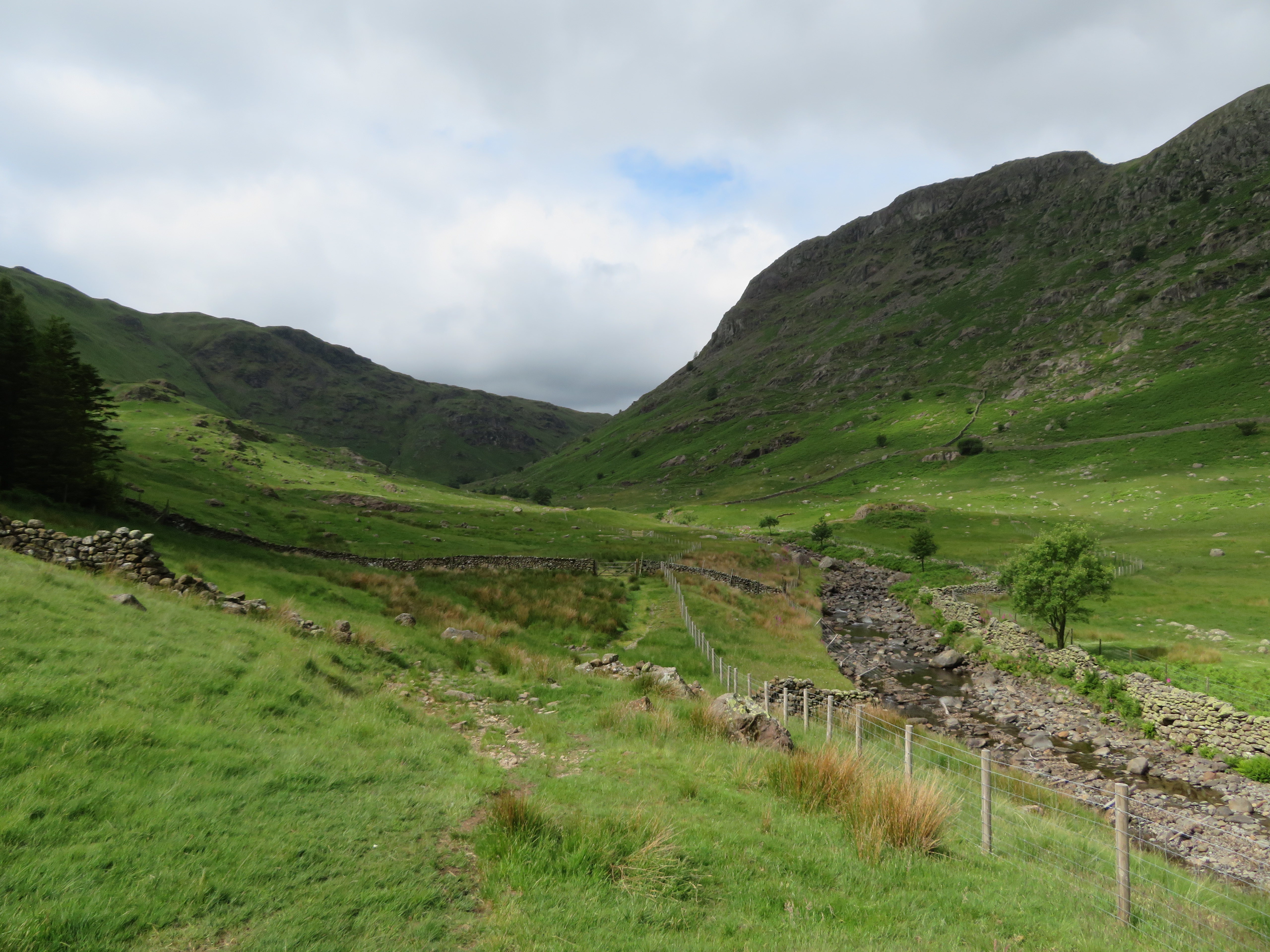
 As we progressed along the valley bottom the sides begin to close in with the crags overlooking us on either side, a scattering of trees break up the steep grassy slopes and the path begins to appear in a right manner, albeit spongy in places after the recent wet weather.
 A view along the valley towards Rake Crags
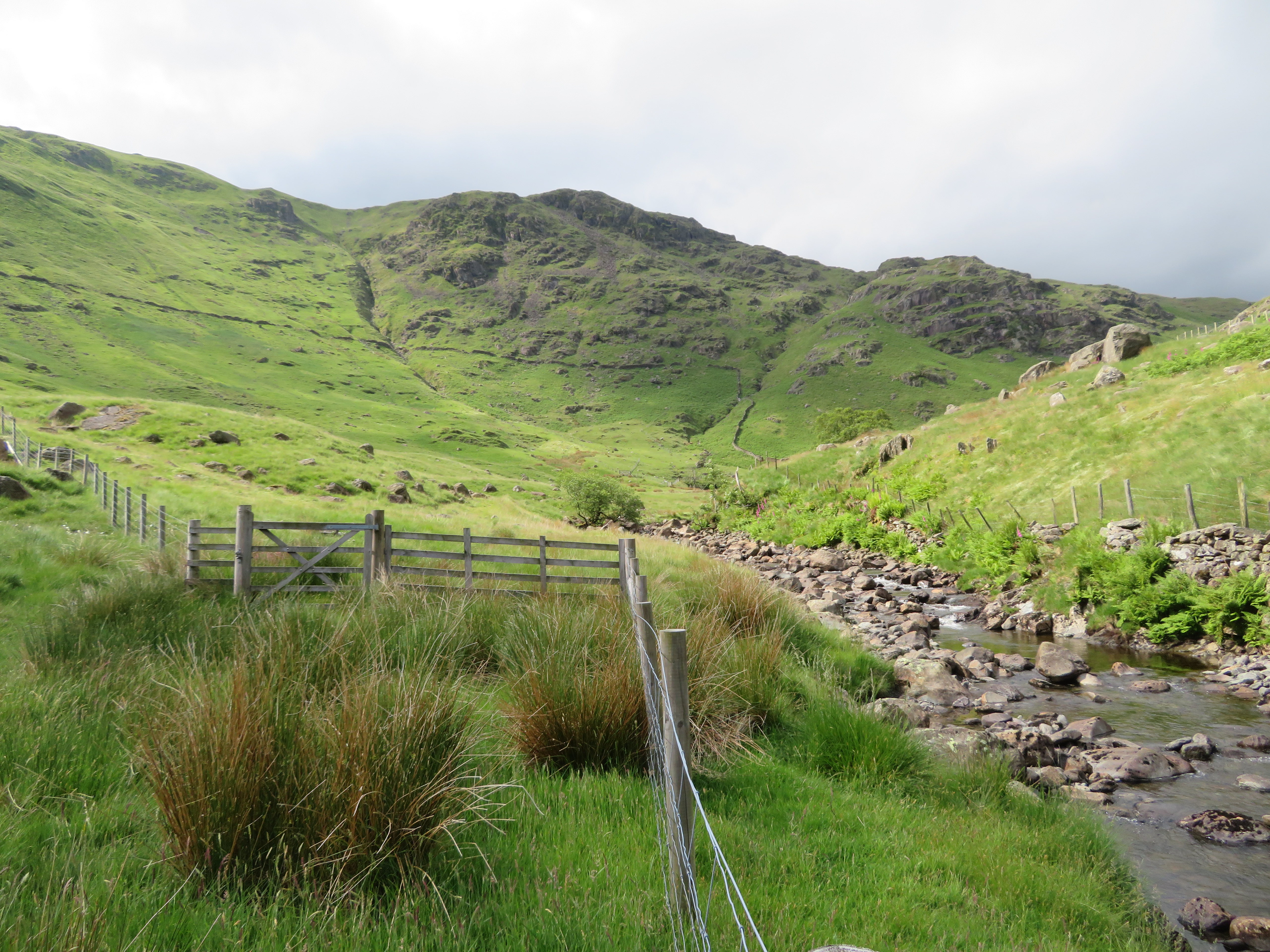
 Just now the sun was breaking through in ever stronger brightness but unfortunately wouldn’t last all day and we were due to get that promised rain later on in the afternoon. At one point there is a gate in the fence that would have put us on the right hand side of it had we chosen to use it but as there was no value in going that way we stayed as we were. The gate can be seen at the far side of the wall in the next image.
 Scattered sunshine in the Wyth Burn valley
 We were walking generally in a south western direction and as we approached Black Crag it takes a turn further around to the west, not much, but enough to hide what is to come.
 Blackcrag Gill between Black Crag and Rake Crags
At about the 250 metre contour a look back gives a decent view of the Helvellyn skyline and just a few minutes later the footbridge over Wyth Burn comes into view as the path on the opposite side of Wyth Burn meets up with us.
 Footbridge over Wyth Burn
 As the footbridge is past so the path begins to climb through the fast growing bracken getting ever steeper as height is gained as it begins a closer association with the burn now that the valley has closed in somewhat.
 Wyth Burn narrows and the path steepens
 A number of frothy white waterfalls/cascades break up the usually stony bed of the burn with a profusion of ferns and the odd tree taking advantage of the moist conditions that allow them to thrive so well on these higher slopes.
At 350 metres we stopped for a short break whilst enjoying what views there were back down the valley.
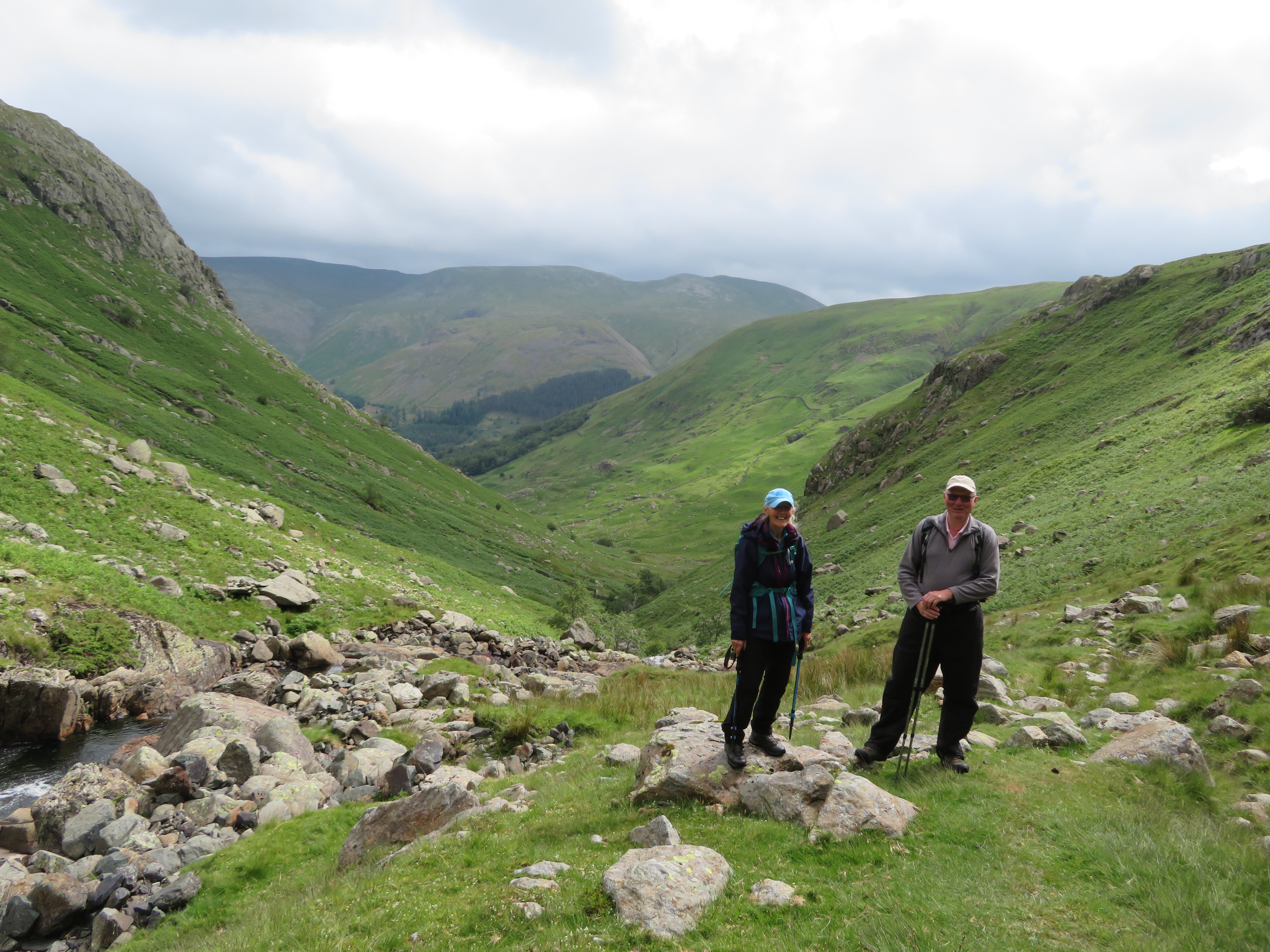 A view down the valley
 Although the path is a bit rough and ready on the climb up this part of the path it is quite safe and we were soon arriving at the tarns.
 Drumlins near Wythburn Head Tarns
 The drumlins look incongruous and look as though they don’t belong here as the valley widens out and the slopes become gentler. The burn now has three ‘tarns’ split up by short stretches of the burn but are really only a widening of the waterway.
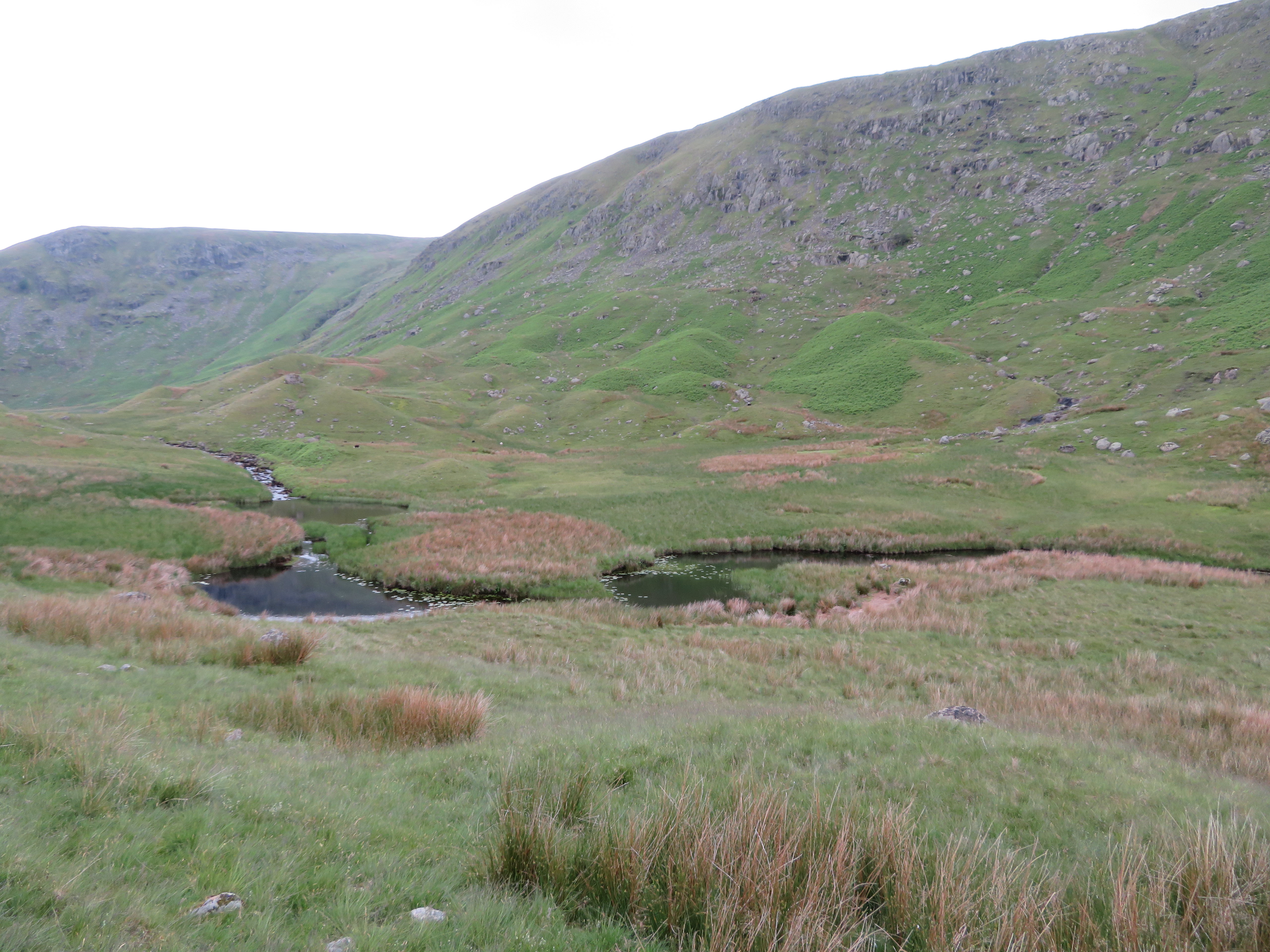 Wythburn Head Tarns
 It was here that we went on to higher ground and had another short break whilst I took a few shots of the surrounding area.
 Helvellyn skyline behind the tarns
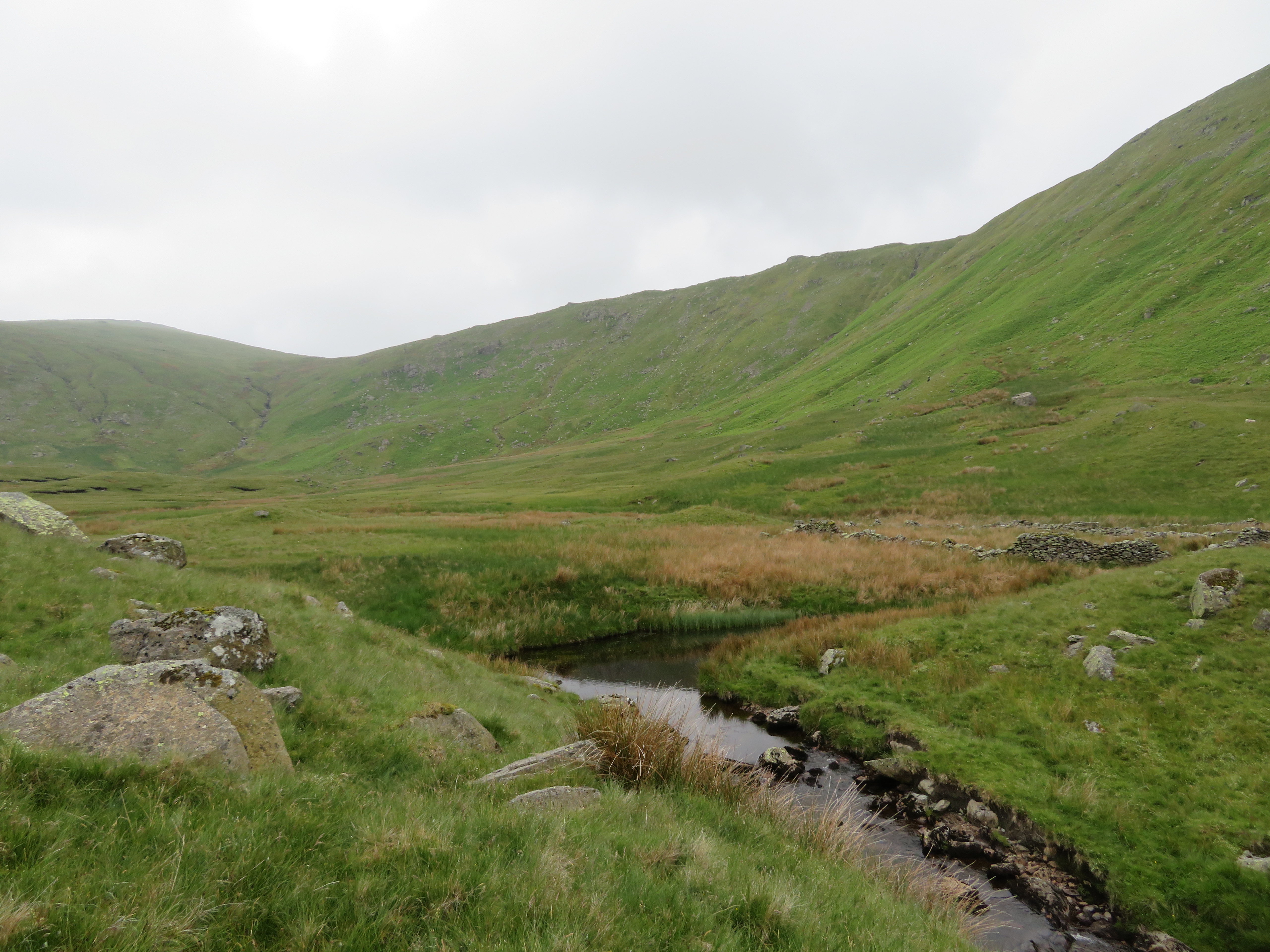
 Wyth Burn is fed by various small gills that all run into The Bog, a large area of soft ground that looks as though it may have been a large tarn way back in the day and is a collection area for water that feeds the ever hungry Wyth Burn.
 The Bog
 From this point on the path is mostly wet and boggy and we had to make numerous side steps to slightly higher ground to avoid the worst of it but in truth it is nigh impossible to cross this area and keep your boots dry. Again we were following the course of the waterway and heading for Middle How where we should have crossed over to the opposite side just past Cat Gills but we missed that so continued on to the sheepfold just below Middle How.
 A view back over The Bog
 More small cascades were passed.
 Cascade on Wyth Burn
 Having passed Middle How we were now pathless and as we came across our next sheepfold decided that we had to get across the burn and pick up the path on the far side...
 Open views towards Greenup Edge
 so a bit of back and forth whilst we found a suitable spot that E could manage with the help of her able bodied companions.
 Crossing Wyth Burn
 We had regained our original route but only for a short distance as it soon disappeared into the long grass once again...
 The view across to Calf Crag and Gibson Knott
 and we found ourselves once again crossing the burn and making our way towards Flour Gill on a fairly visible path with wide open views across the head of the valley.
 Mere Beck snakes off to the left
 We were nearly at Greenup Edge but to save some time and distance – how many times have we done this – we decided to horse straight up the fellside to gain the ridge path of Ullscarf. Well, it was fairly hard going over the rough ground but I think it was the heat or more likely the humidity that was the worst of it as we toiled up taking the easiest way possible. I eventually came to the spot where our original route should have been but there was no sign of it anywhere but we did come across this storage shed tucked in behind a small vertical slab of rock.
 Storage shed above Flour Gill
 A couple of empty dumpy bags are evidence of work done although we didn’t see any so must have been on Greenup Edge.
This is where we stopped for a proper refuel with some great views despite the lack lustre air quality.
 A view across Brownrigg Moss towards Steel Fell
  A view along Wyth Burn and Steel Fell with Helvellyns behind
Once we had gained the ridge path there was a bit more to see.
 The Calf to Helm Crag ridge
  A western skyline behind Thorneythwaite Fell
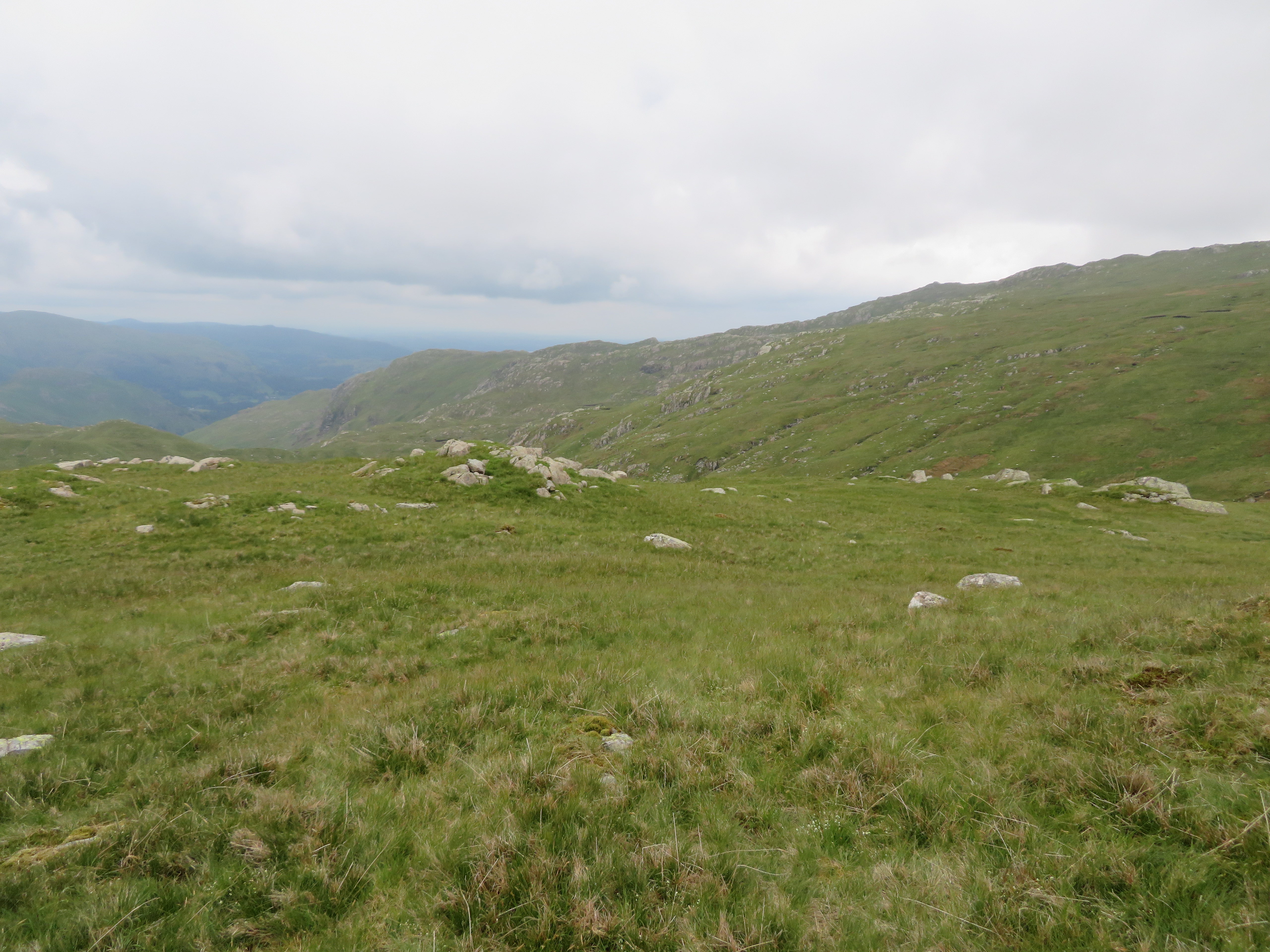
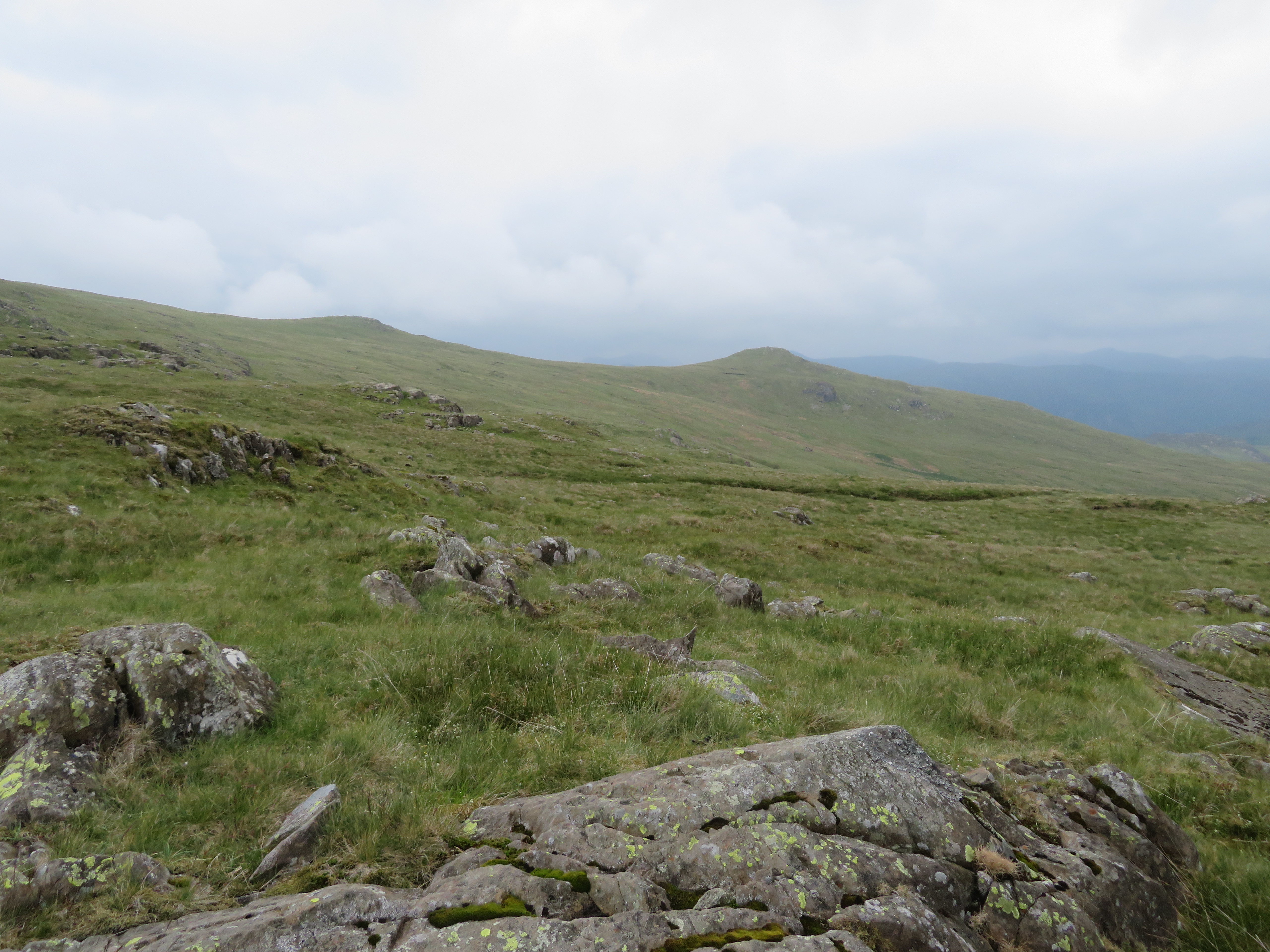
 Ullscarf has a big back to it with long and easy slopes all the way along it but it is a Central Fell and true to its location the path was fairly wet and boggy for a fair stretch of it.
 More or less follow the fence posts to the summit
  A long grassy ridge walk to the summit
 A decent pace and skirting around the worst bits of bog soon had us at the summit cairn where it looked as though something was missing. Is nothing sacred, the last remaining metal post adorning the cairn had gone? Who the hell would take it away one would wonder, another act of fellside vandalism? When I first came up here many years ago the cairn was akin to the ones on Harter Fell and Starling Dodd but the iron posts have slowly but surely disappeared over that time.
The first image is how it was on Monday 18th February 2019...
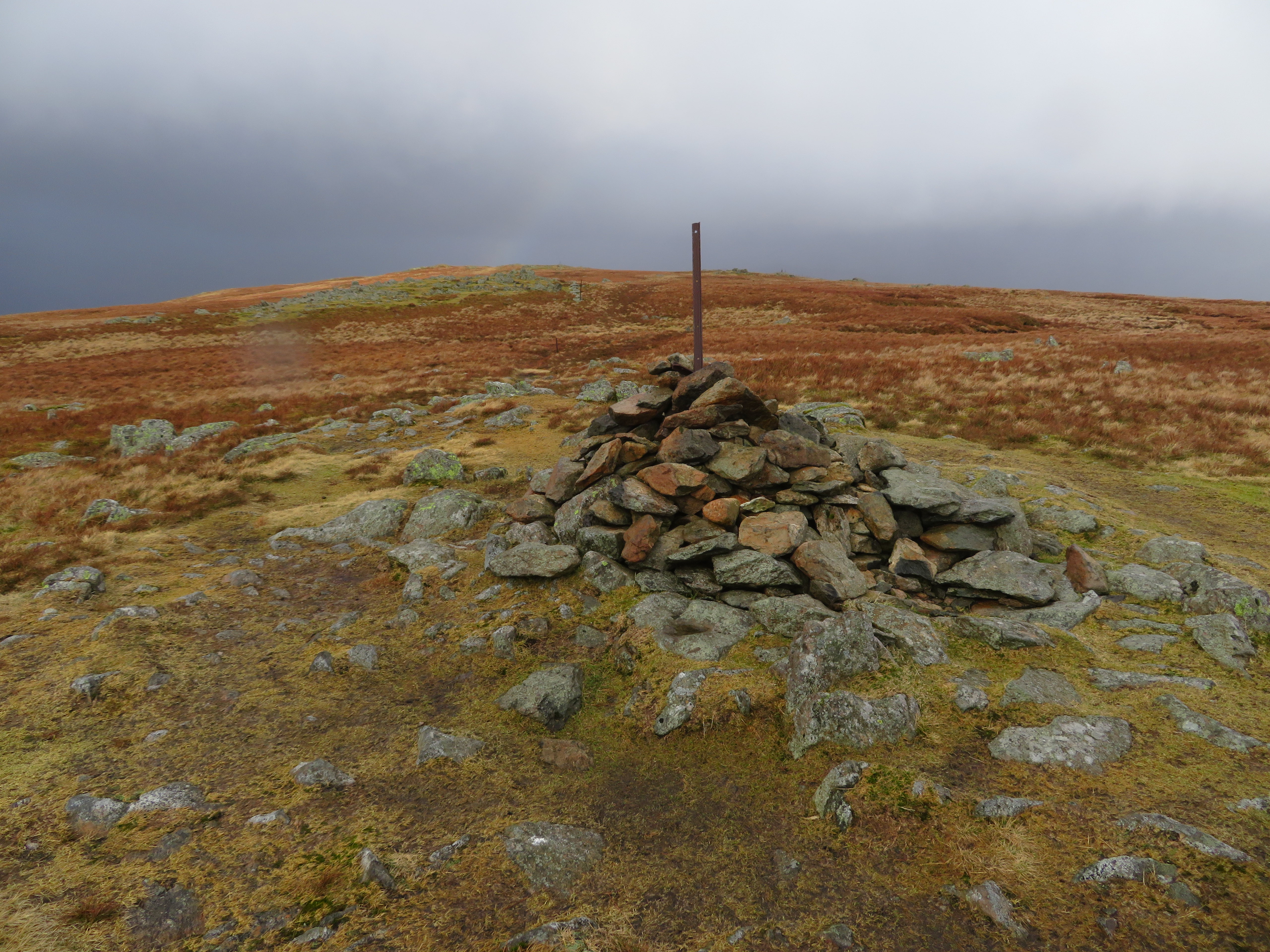 Ullscarf cairn missing some iron posts
 and the latest rendition for Friday 19th June 2020.
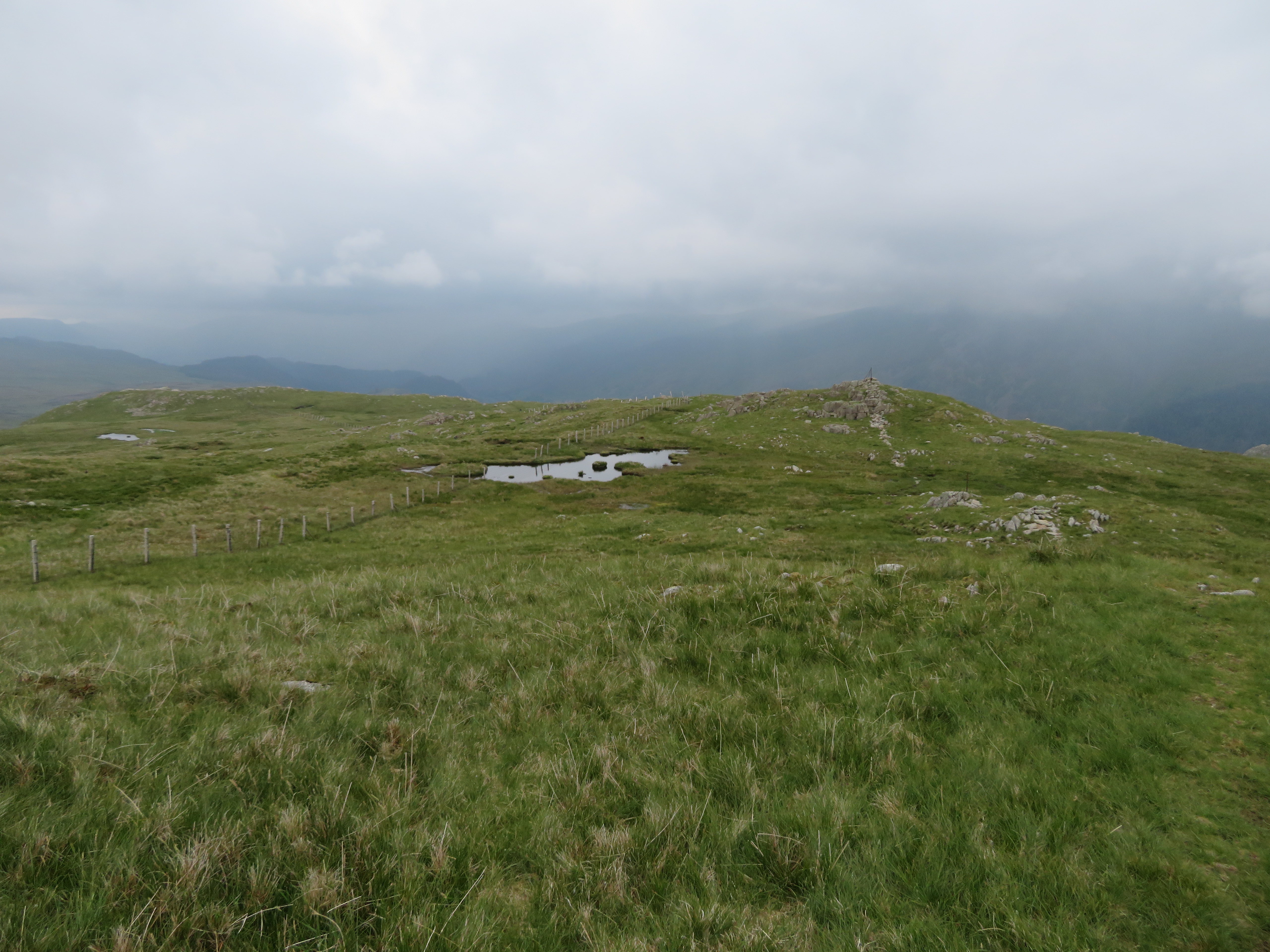
 Ullscarf summit
 I had a rant about litter on the fells in my last report and now we have some mindless people who delight in wrecking these old and sometimes ancient cairns. During the last few weeks we have seen cairns knocked down and on one particular summit knocked down because it was sat on a convenient place to light a fire.
A shot from north side just below the summit.
 North towards Skiddaw
 Leaving the summit behind it is just a simple matter of following the fence all the way to Standing Crag and it can be seen that the clouds have thickened up leaving no chance of any further sun that in fact left us some time ago.
 The Dodds under cloud
 It’s an easy walk but still fairly wet in places and a look to the northwest gave us a view of a couple of Birkett’s on Coldbarrow Fell.
 High Saddle and Low Saddle on Coldbarrow Fell
  Standing Crag just ahead
 Standing Crag is a great viewpoint, today spoiled only by the low lying cloud cover but still far reaching.
 Blea Tarn below Standing Crag
  High Tove and High Seat are to the left
  A hint of Thirlmere from Standing Crag
 A bit of a workaround is needed to pick up the path that runs below Standing Crag but the easy gulley was soon reached...
 The path below Standing Crag
 and the foot of the crag and path for the short walk north was soon arrived at.
 Looking north from Standing Crag
  Standing Crag
 It was soon time to turn to the east along the path that would take us down to Harrop Tarn and it had now begun to rain as we made our way towards Tarn Crags and then the path through the pine trees.
 Tarn Crags behind Harrop Tarn
 The rain made the already wet path quite greasy and slipping on the fronds of bracken and short grass was all too easy if trying to rush down but the walk through the trees gave us good shelter down to the tarn.
We met three young women making their way up through the trees and asking the way to do a circular walk up to Harrop Tarn from the Dob Gill car park as they were practicing for a walk up Helvellyn. It was raining, they weren’t dressed for the weather, had no food or drink with them, doh! I told them that if they wanted to do a circular that they had to go back to the forestry service track and take a left then the path down from below Bank Crags and that would put them back at the car park, or near enough as makes no difference. They would take no advice on giving up on their little outing. I gave them a map marked up to help them and off they went back down to the service road but when we got there they were floundering and didn’t know which way to go. Once more we set them off on their way, God help them getting to Helvellyn.
Arriving at the tarn the weather had faired up somewhat so an opportunity to take some photos was taken on our way back to the car.
 The head of Dob Gill from Harrop Tarn
 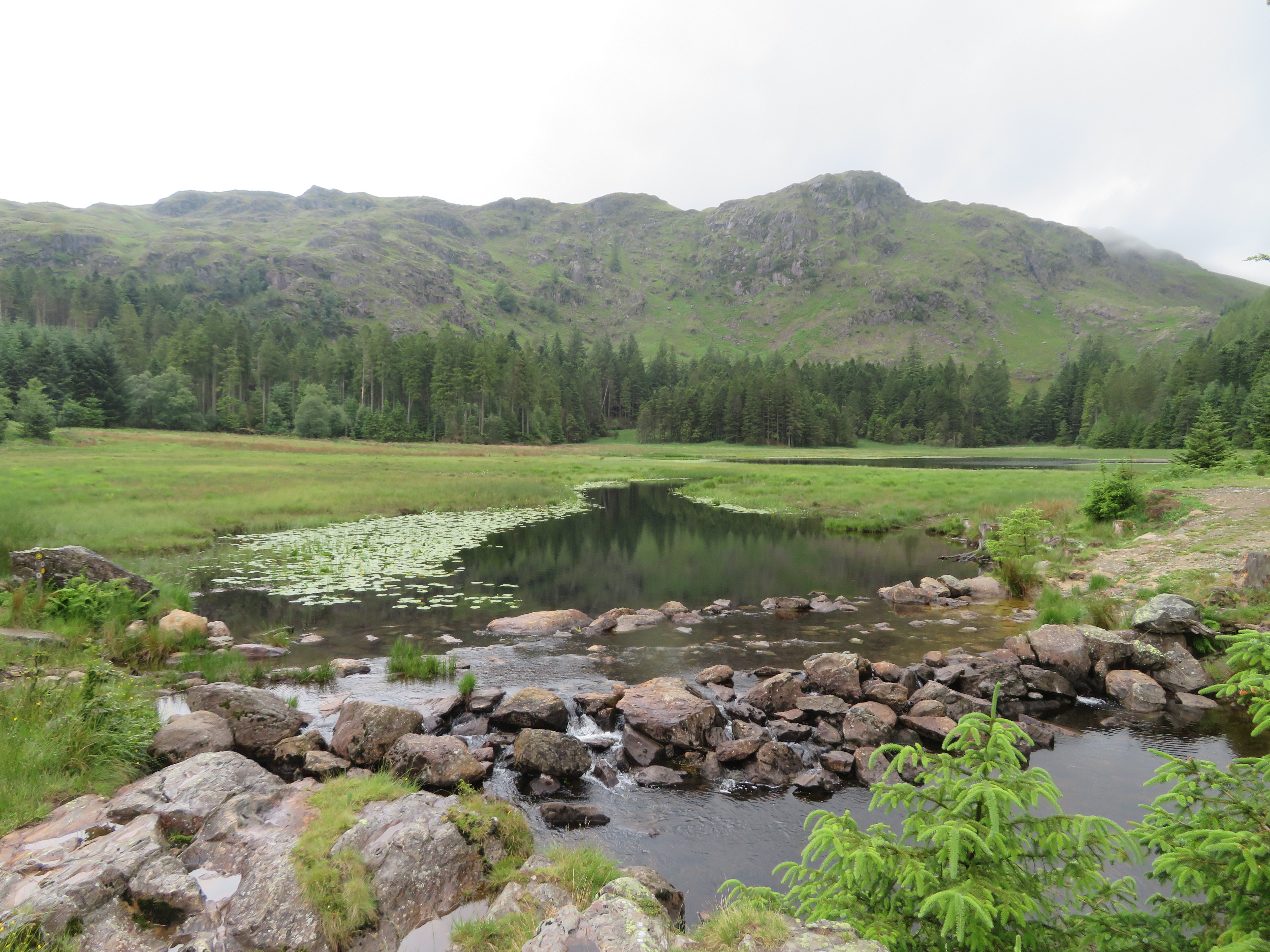 Harrop Tarn
 And one taken from just below Birk Crag.
 Harrop Tarn
 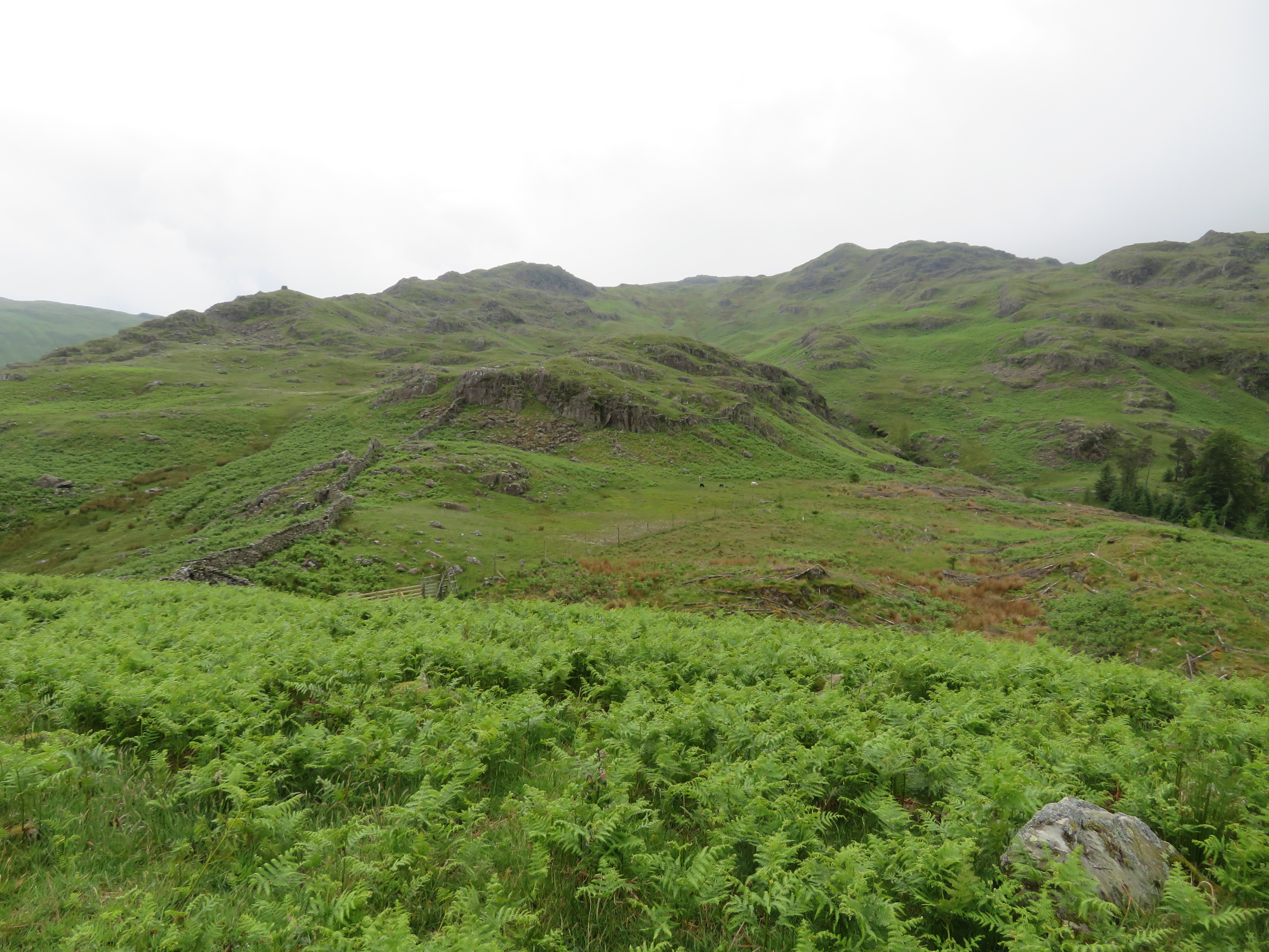 Craggy landscape with the Beacon's cairn showing to the left
 An easy climb to the top of Birk Crag gave us some open but near views.
 Steel Fell from Birk Crag
 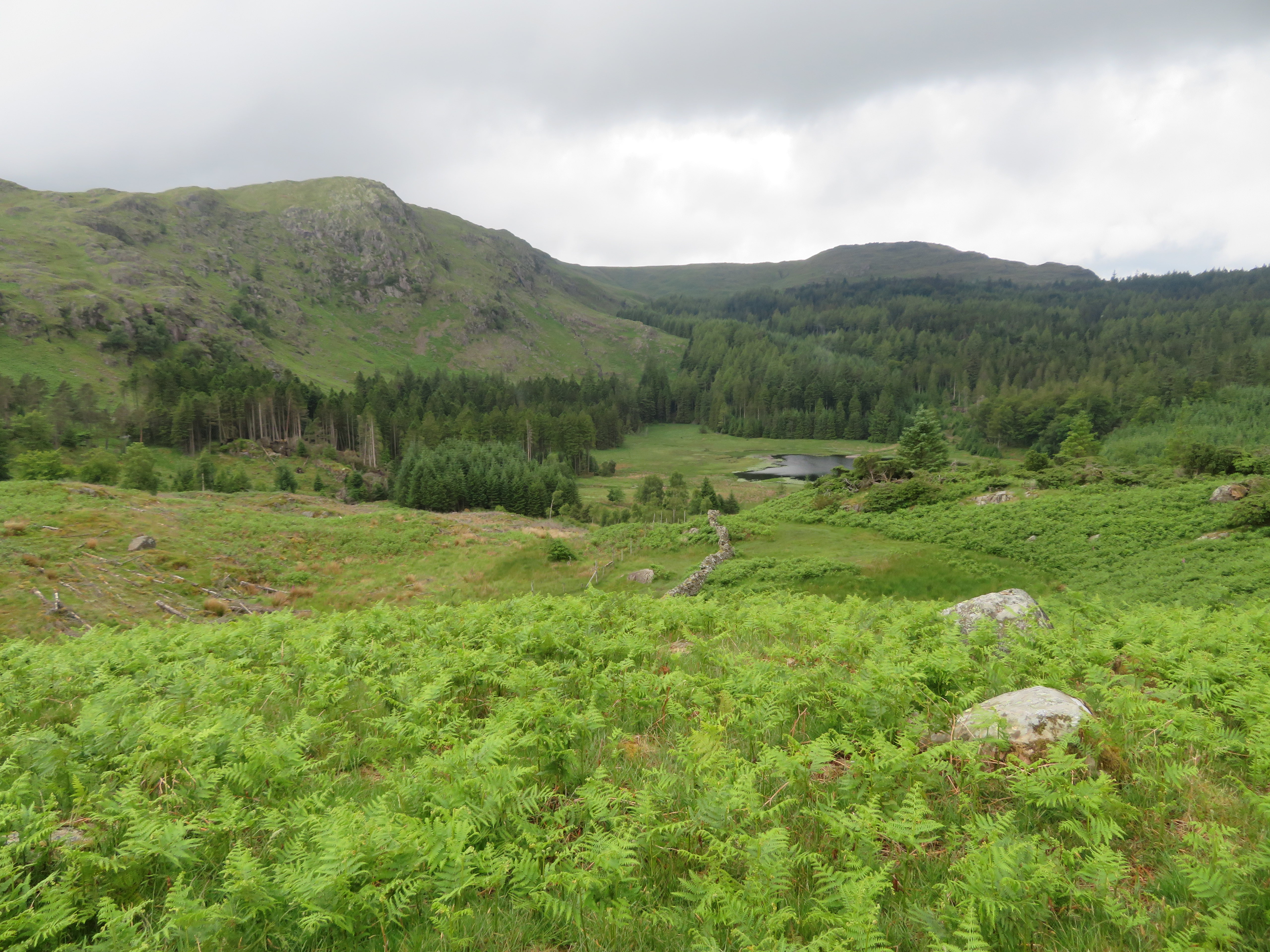 Harrop Tarn from Birk Crag
  Middle Tongue and Whelp Side from Birk Crag
 There’s a nice little cairn on the crag and we made our way off to follow a decent path alongside the wall that would take us all the way down to the metalled road on the west side of Thirlmere that is now very low on volume with one of the original dry stone walls now showing at the south end.
 Thirlmere -1
  Thirlmere - 2
 There are plenty of juniper trees on the way down by the side of the crag but from the base of it we were back into the bracken as we walked down to the gate and road. The plan was to walk along the path above the wall and rough pastures to come out at Stenkin but my GPS ran out of battery but for no other reason than the ground was very wet we elected to walk the final kilometre along the road for comfort if nothing else.
Yet another enjoyable day out on which we dodged the worst of the wet weather and it was good to get on this route again although it did seem a tad more of problem following the path that now looks as they aren’t used so often as they were. As I remember it there were no difficulties in finding and following the path right the way along to the Greenup Edge path, but time dims memories although I’m sure that any such problems would have stuck in my mind. It does seem an isolated area once the three tarns have been reached, so quiet and wild with rugged terrain all around. It’s also a very peaceful and beautiful spot with the gills and burn running quiet and sparkling as opposed to it dashing down the steep slopes below Wythburn Head Tarns. And just imagine the shepherds of old building sheepfolds so high up in the fells and having to round up the flocks. No quad bikes in those days, just legs and dogs. Well this is another walk done and in times when we can’t hold the inquest at a place that serves good ales but in the future...
