free to be able to rate and comment on reports (as well as access 1:25000 mapping).
Lockdown rules had recently been relaxed so it was inevitable that a mass one day migration to England’s beauty spots would occur, and that the LD would be one of the hardest hit, not as we could see primarily by walkers, but by countless numbers of sun seekers determined to raise a Lake District sun tan and return home burnt red and sore by today’s offering of a glorious summers day.
Martin has a bit of mopping up of Wainwright’s to do so we thought that we’d get rid of these two as it was a beautiful sunny day and there was no better place to be today than Borrowdale. We set off on the drive down and as we passed Blencathra noticed that there were more cars about than there usually has been these last few weeks and this trend followed as we passed the various car parking areas and even very small roadside areas were not immune to a car or two’s company. This didn’t bode too well I was thinking but as we had set off early for Stonethwaite we didn’t think that there would be a problem getting parked up there, but we hadn’t figured on the whole country taking full advantage of the recent freedom rules and as we drove along the lane to the village we could see that there was no chance of parking up there as there must have been 30 to 40 cars parked up along the verges from the school down to the village itself.
As we were in separate cars and I got there before Martin I managed to pull into a place on the verge with room for two cars and as I did so he turned up behind me, and happen as well he did as cars were rolling up nonstop all the time that we were getting booted up and we wondered just how busy the fells would be today as it looked like we were going to be denied a quiet contemplative day out. As the day went on it was obvious on our return to Stonethwaite that it was actually was, and had been bedlam there.
We set off walking along the narrow metalled lane and passed through the village from where we took to the path that runs through the pastures towards the camping site instead of taking the lane to pass Alisongrass House...
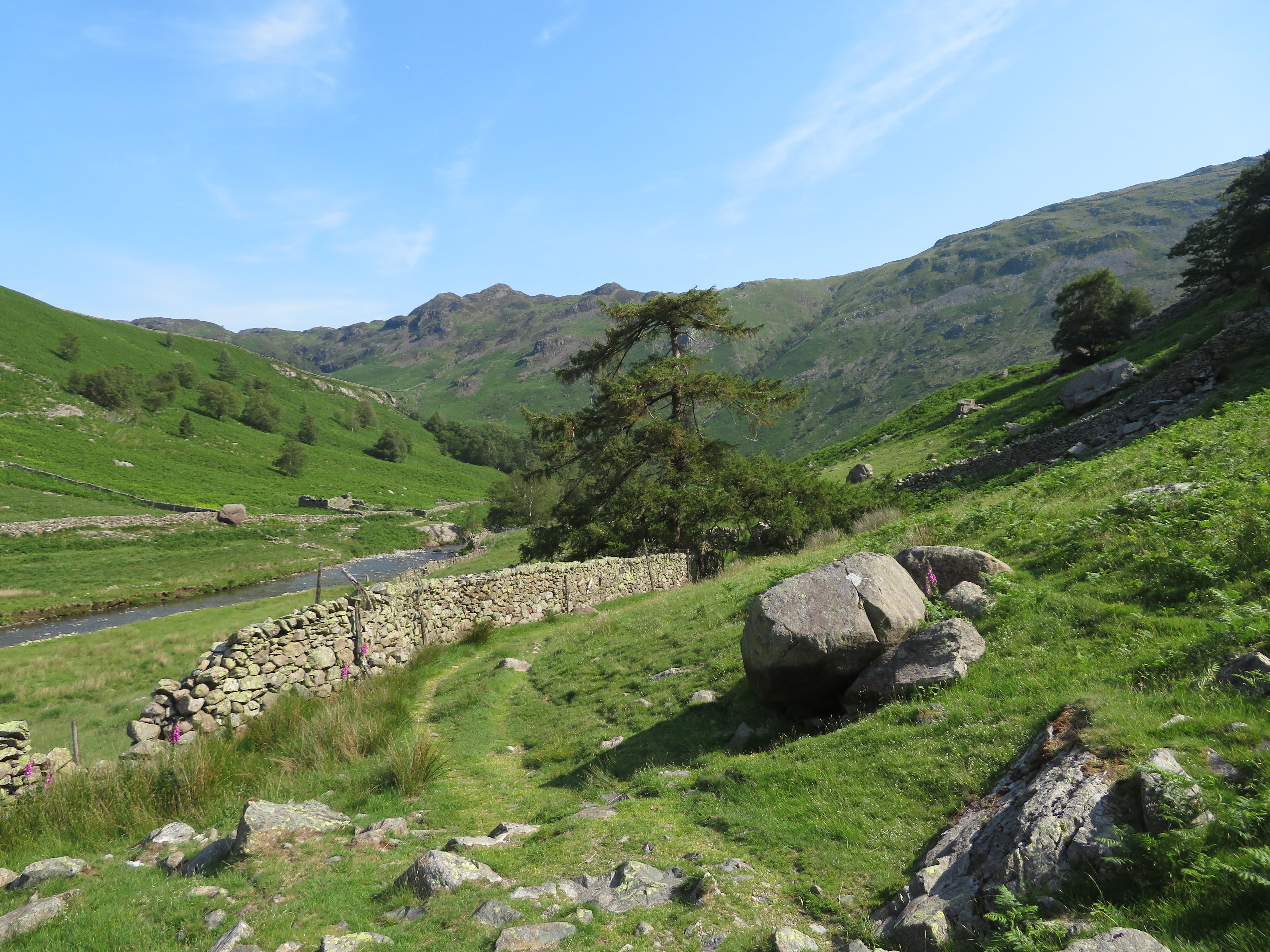
 Walking through the pastures by Stonethwaite Beck
 as it’s more open and with better views whilst walking alongside the beck.
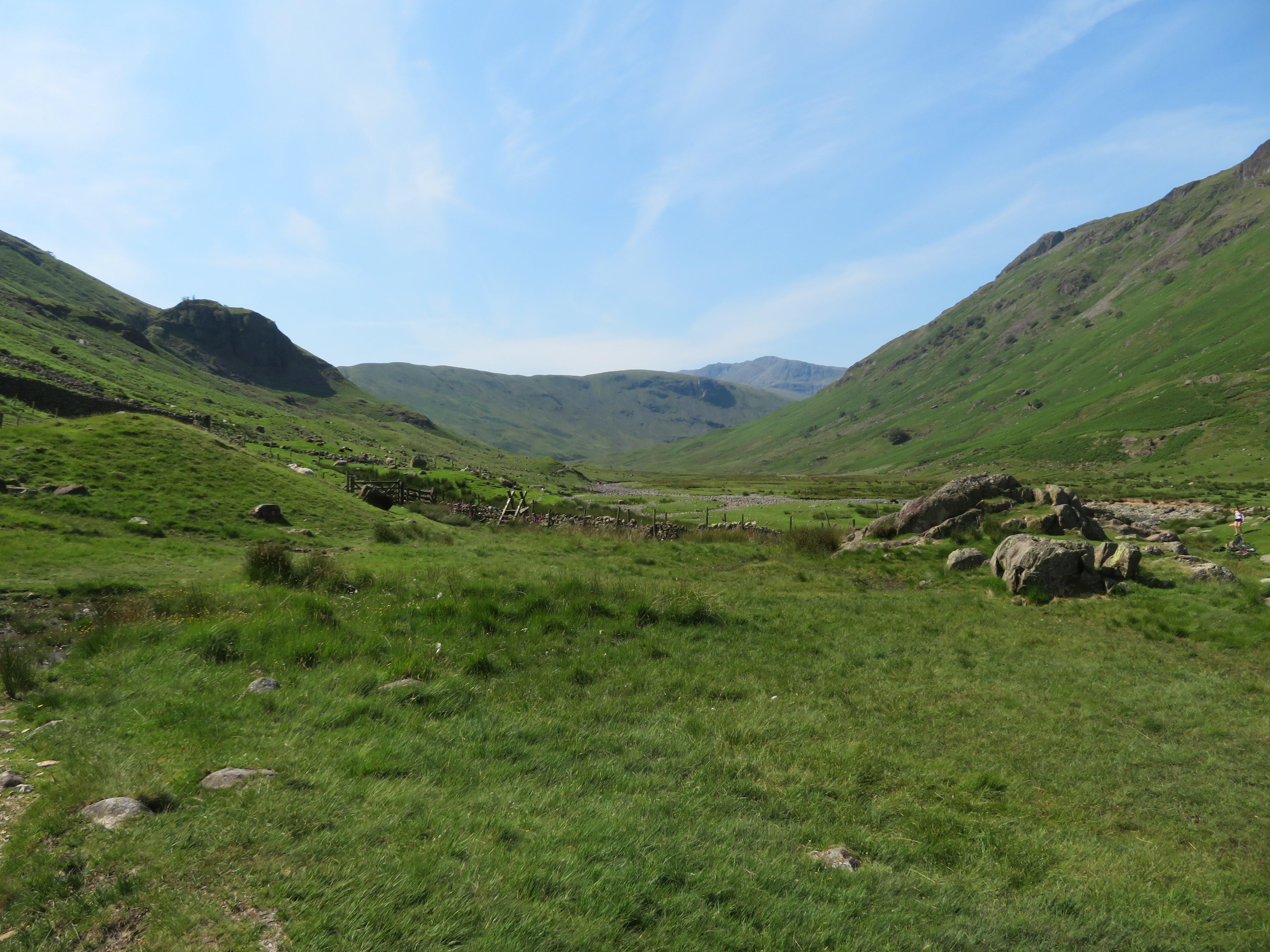
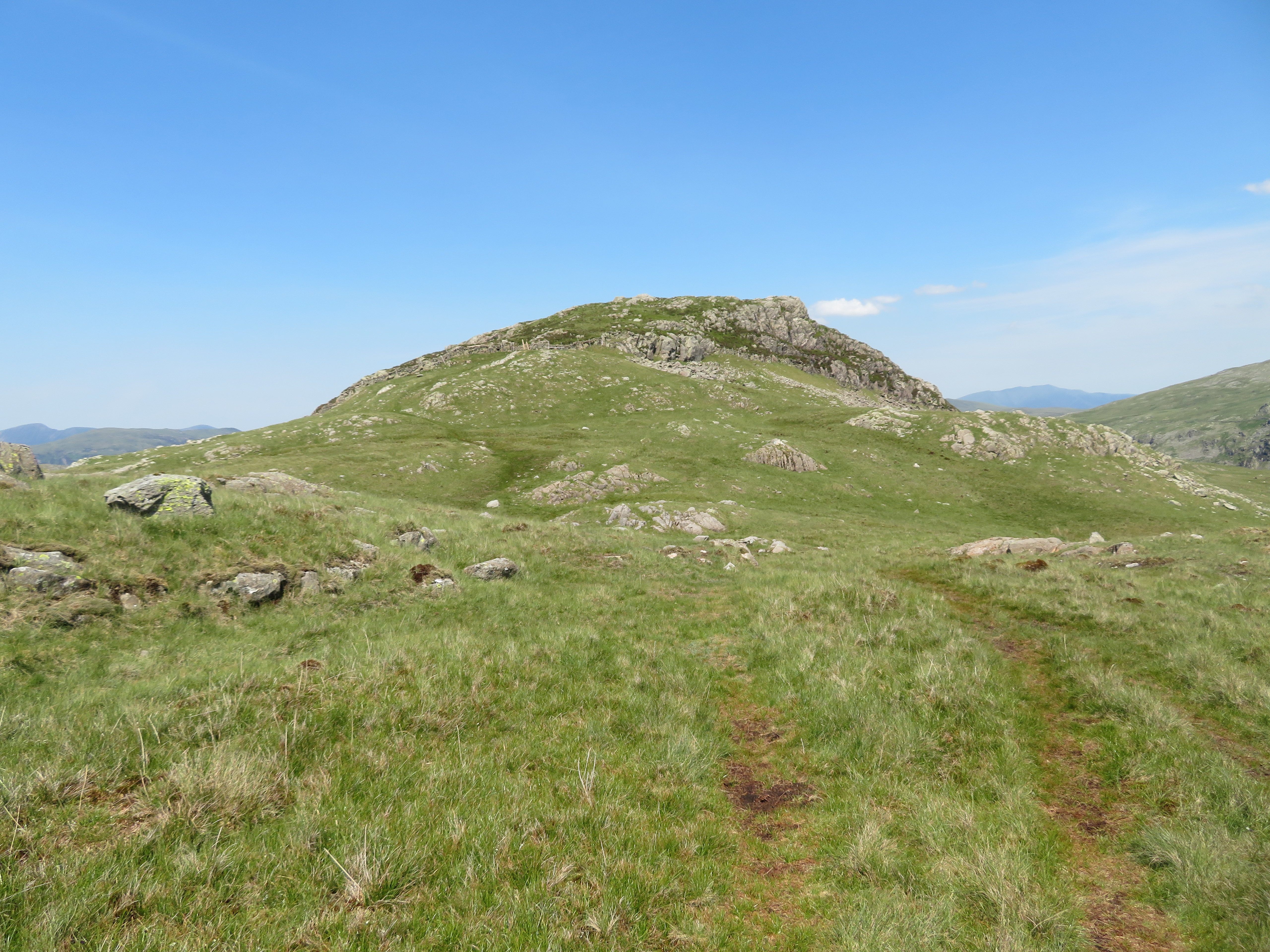
 Great Crag from Stonethwaite Campsite
 The plan today was to walk along Langstrath and climb the fellside just south of Brown Crag and north of the footbridges below Stake Pass and approach Sergeant’s Crag from the south and return down the east side towards the sheepfold that is on the island in the middle of Greenup Gill, both routes that AW deemed as acceptable ways to go.
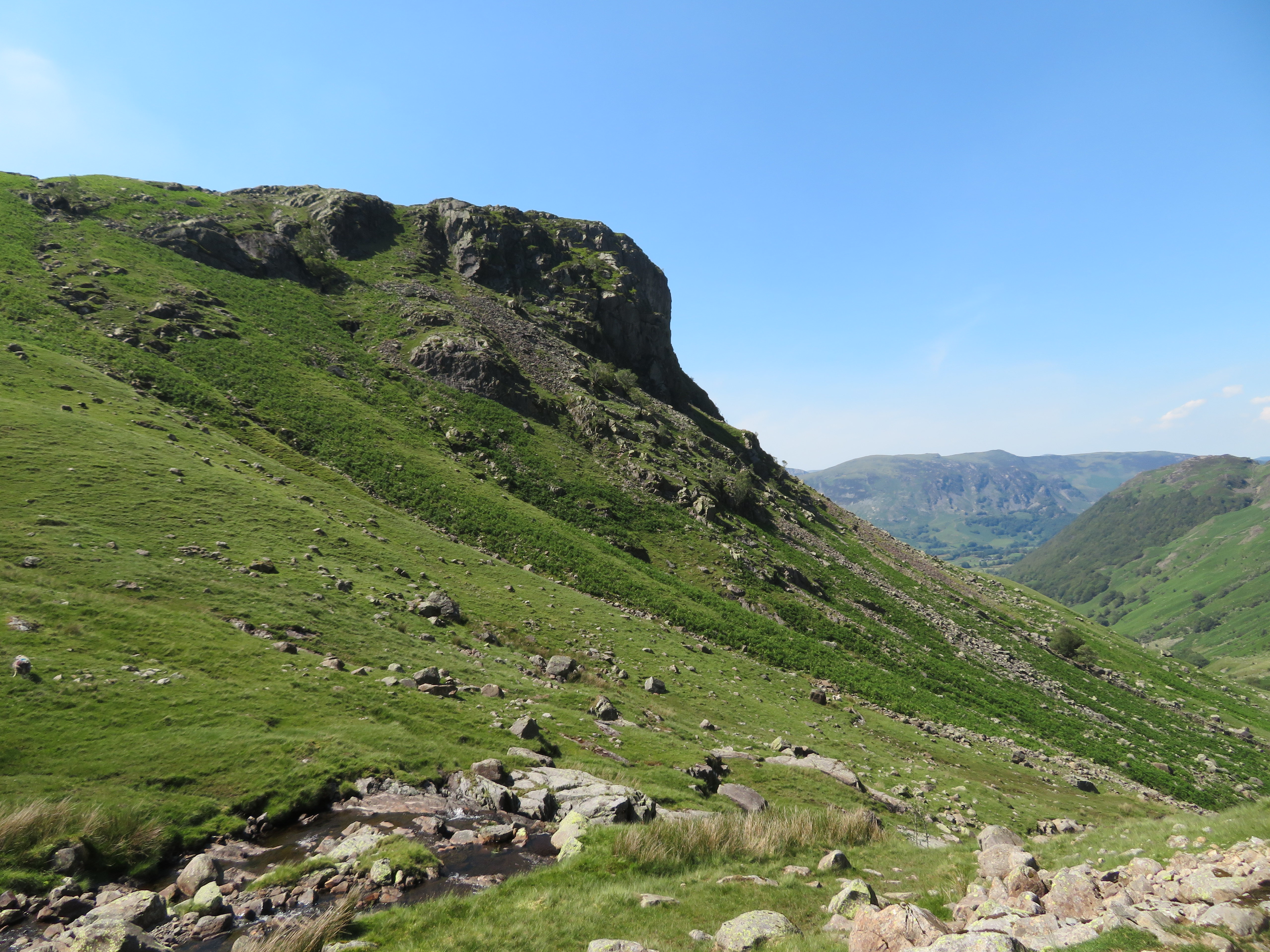
As we approached Langstrath, Eagles Crag grew ever more present to the fore as its rough and rocky buttresses sits high above the steep grass and bracken covered northeast slopes giving no indication of a route that is both sweat inducing, scrambly and with puzzle like zig-zags to complete the climb to the view enticing summit.
 Steep grassy slopes to the base of the crag
  Trees cling to the north face of Eagle Crag
After passing Smithymire Island we turned south to pass over the footbridge of Langstrath Beck from where we simply followed the one and only path alongside the east side of it. Langstrath is a lovely valley and one that I have passed through both ways on quite a few occasions over the past few years, protected on its west side by Rosthwaite Fell and the massive bulk of Glaramara whilst the east side has Eagle Crag and Sergeant’s Crag running through to High Raise and the long flat area of Martcrag Moor with Bow Fell keeping guard over all as it sits above Tongue Head watching all before it.
 The ever present Bow Fell comes into view
 The path gently rises behind the intake wall, ever changing as we walked along, sometimes easy grass and other times rough underfoot with large boulders, small stones or occasionally slabs of rock.
 A view across to Great Crag
 It was a glorious day and so far the fells have been remarkably quite considering the number of cars parked up at Stonethwaite. We passed three walkers who had been camping out near Woof Stones though hadn’t used the cave bothy, three ladies turned up having walked up to Blackmoss Pot, found it too busy so made their way back, the short conversation we had with them revealing where a lot of the car owners had got to.
As progress is made along the valley a small hump appears on the skyline directly ahead, this is Blea Rock, an enormous boulder that sits right by the path sporting a wonderful head of greenery made up of grass, heather, and small shrubs.
 Blea Rock on the horizon
  Blea Rock is an aerial island of shrubs and heather
 Not far away now was Blackmoss Pot...
 Approaching Blackmoss Pot
 a place where the beck takes a dive into a deep pool set between high rocky sides and is a favourite spot for picnics, sunbathing, and a spot of daring do as some dive into the pool whilst others try their hand at clinging on to the vertical rock whilst attempting to navigate around the perimeter.
On the lower slopes below Rosthwaite Cam there is the fine rocky ridge scramble of Cam Crag with Woof Stones sat at its base and part of the mystery of missing persons has been solved as we spotted at least 15 people scattered around this favourite spot of Langstrath.
 Cam Crag-Woof Stones and the ridge to Glaramara
On we walked in the sweltering heat stopping only for a look around and a quick drink as we made our way ever nearer to Stake Pass and our climb up the steep slopes.
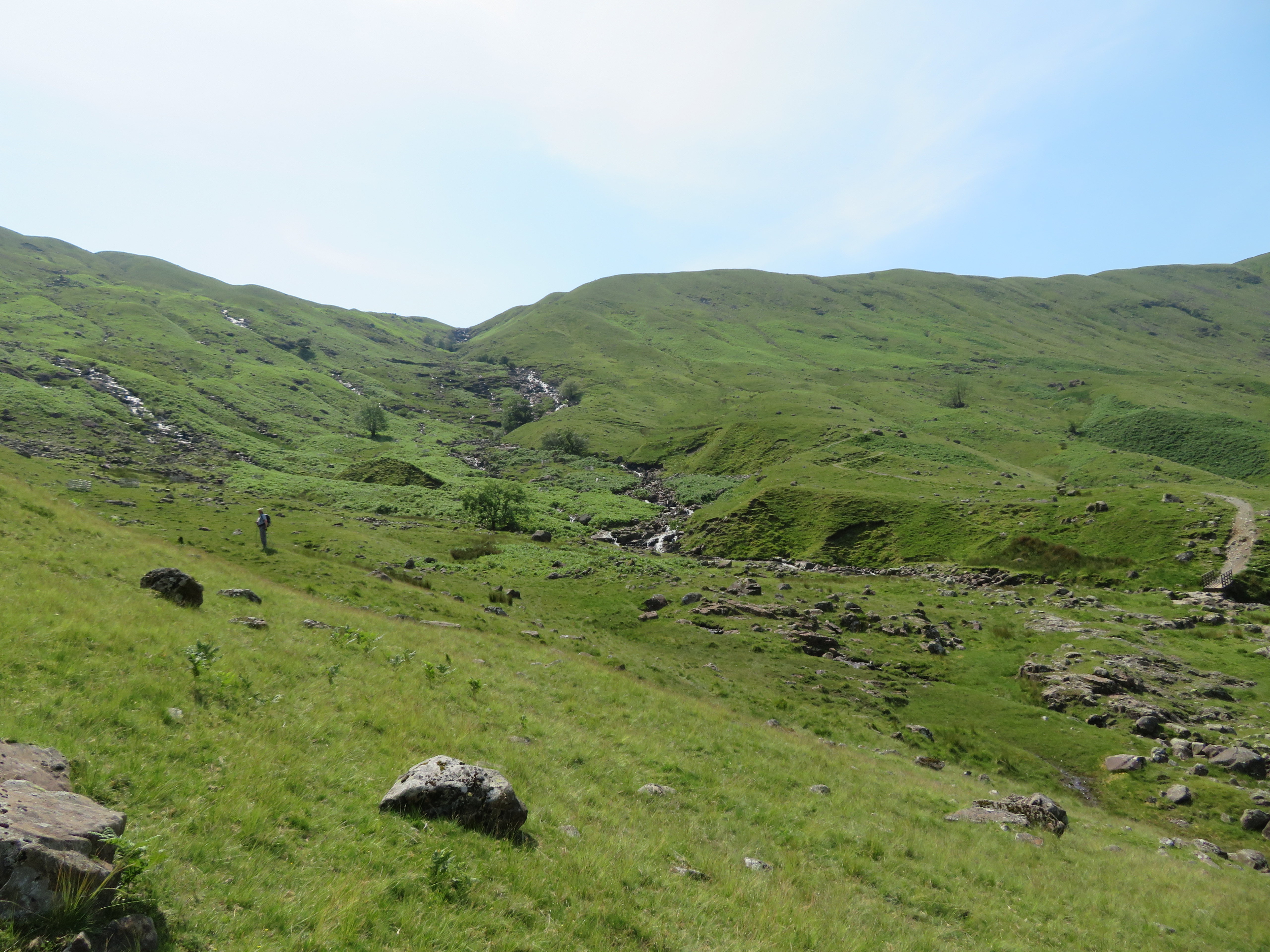 Stake Beck and Stake Pass
 This is where we stopped for a proper break before taking on the steep slopes and the ridge above. A number of trees have been planted and are protected by a surrounding small enclosure square in shape and as we started the climb we found it easier to aim for these as we ascended hence the wiggly route up moving across from one to the other crossing numerous feeder sykes that were all but dried up the views slowly opening up as we climbed steadily in the heat of the day.
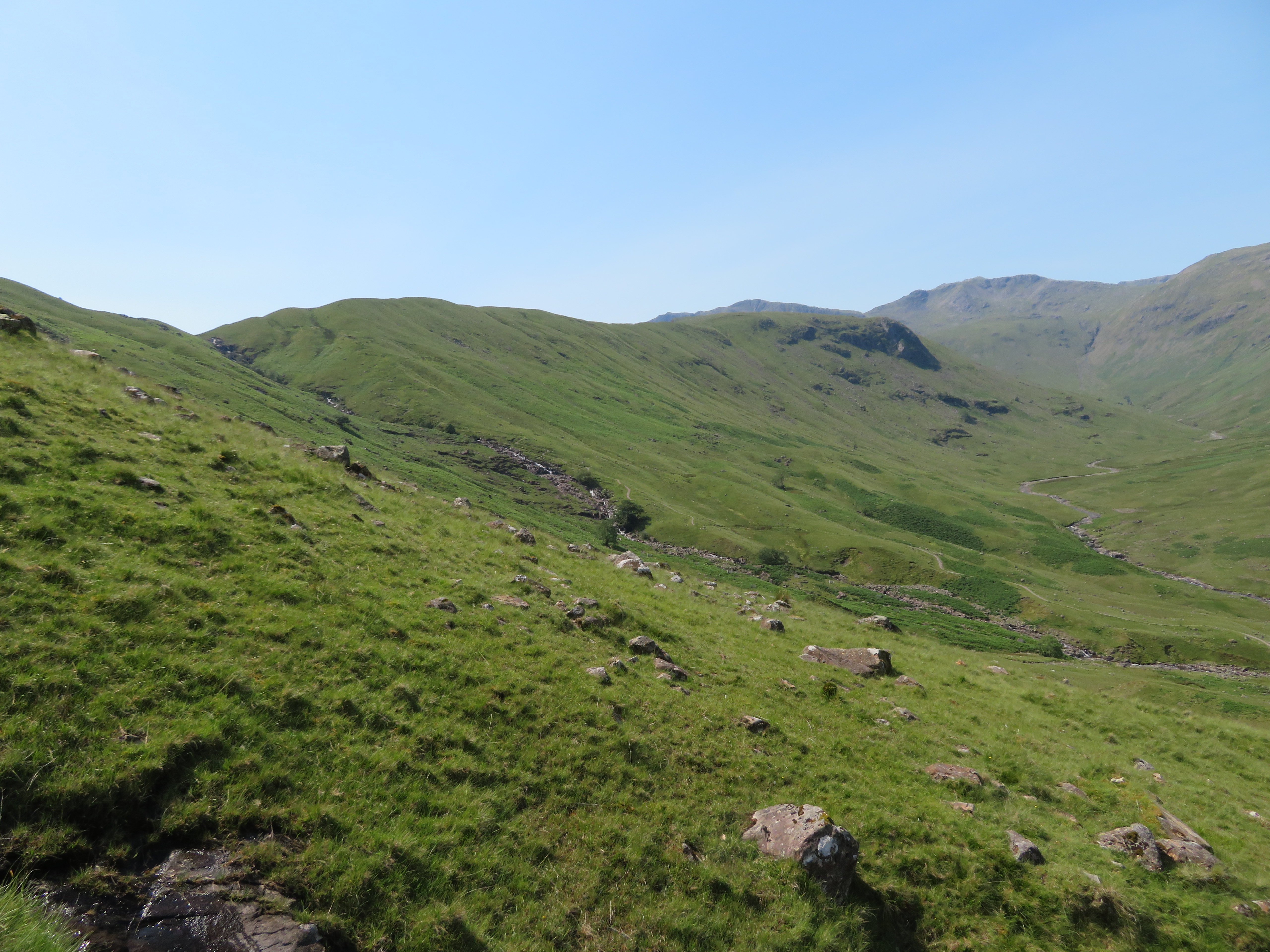 Martcrag Moor and Bow Fell
 It’s a fairly steep climb up and we missed most of the bracken by starting the climb further south than Wainwright’s suggested one moving around the numerous rocks and boulders as required and with no difficulties apart from the heat of the day.
 A rough and steep climb to the ridge
 The next photo was taken from the 440 metre contour.
 Great End to the Crinkles ridge behind Tongue Head
 As we neared the top of the ridge the grass was mostly replaced by rushes and a reed like grass that we worked around as best we could and soon enough we were soon looking at Sergeant’s Crag...
 The south face of Sergeant's Crag
 and a few minutes later standing on the summit rocks.
 Sergeant's Crag summit
On arriving at the summit we were appalled to see that the cairn had been knocked down to make room for a fire, one would ask and question why such wanton vandalism of age old cairns should be subjected to these mindless acts of destruction by selfish persons who obviously take great delight in spoiling the beautiful Lakeland fells for the sake of grilling a sausage or two. There has been a recent report of someone vandalising the cross shelter on Cross Fell by taking stones off the top of the recently – around 5 years ago – built walls for the use of sitting on. What, no sit mats??
Despite the destruction the weather was great, the views are superb and contrary to our earlier thoughts of a crowded time out on the fells today it was very quiet up here on the high fells.
The great bowed back of Ullscarf is to the east looking no smaller than when we climbed it a week or so ago...
 Ullscarf
 and a look along the ridge led the eye towards the large grey slab of rock on Eagle Crag summit along with Skiddaw and Blencathra among other lesser fells behind it.
 The ridge to Eagle Crag
 It was here at Sergeant’s Crag that we settled down for a while enjoying the peace, quiet, and the views whilst eating our hard earned food. The peace and quiet didn’t last long as four other walkers made an appearance, not that that unduly bothered us but ignoring the distancing rule did as they just came and mingled amongst us as we had our lunch. We quickly packed up and made off for Eagle Crag fully aware that they would be following in our footsteps and doing the same thing on Eagle Crag.
We meandered with the path, down the couple of small scrambles below Sergeant’s Crag to then walk alongside the intake wall to the short climb from where we got a good view along Langstrath…
 Langstrath
 and then clambered up the wall end onto Eagle Crag where there was a walker who must have come up by the north end route. He graciously left the summit slab to make way for us whilst conscious of the noise of the other four trailing along behind us.
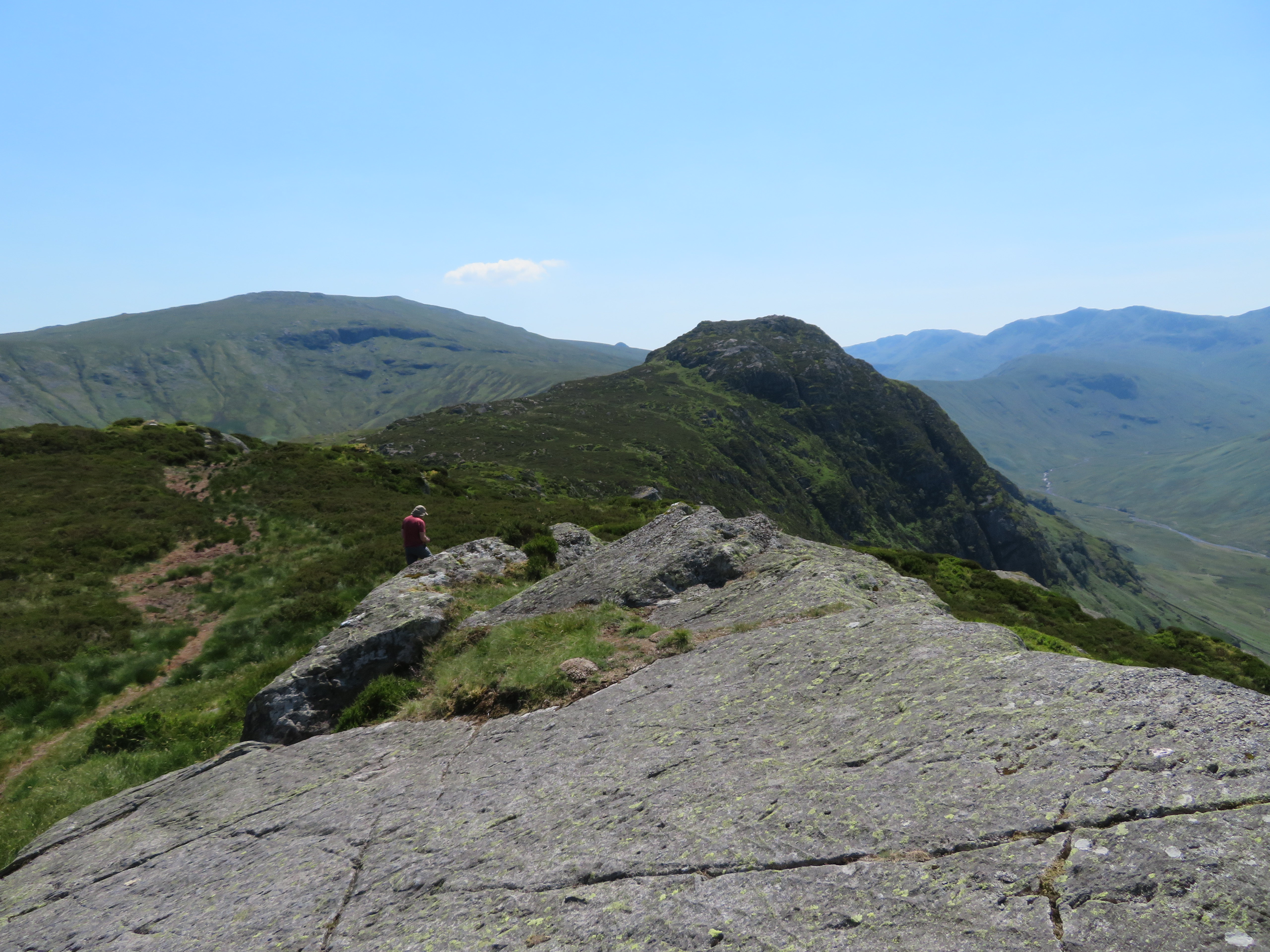 View back to Sergeant's Crag and High Raise
 There was just time to take a few photos of familiar views before our space was invaded once again.
 Borrowdale from Eagle Crag
  A view west across Rosthwaite Fell
  Glaramara
 All the familiar fells could be seen from this 525 metre high fell and even the Langdale Pikes are to be partly seen from the other end of the ridge.
We left the party of four to their own devices and made our way back to the climb down the wall end to then climb over the fairly new ladder stile that is just a metre or so away to walk easily to the southeast by passing the acres of bracken and then turned back to the northeast at around the 440 metre contour following the most practical way down to Greenup Gill and an easy pass over of that due to a lack of water and it is obvious that this would be a more difficult manoeuvre after a lot of rain.
 Greenup Gill
 Wainwright’s route is to or from the sheepfold on the island in Greenup Gill but we arrived at the gill a good few metres south of it but upon arriving at said sheepfold there is an obvious line of ascent from it but probably no easier than the way we took as there was no bracken on our line of descent.
A look along the Edge gave us a good view of Lining Crag...
 Lining Crag
 whilst to the fore Pounsey Crag the eastern spur of Eagle Crag towered over us as we passed it by.
 Close up of Pounsey Crag
 Now all we had to do was make our way back down to Stonethwaite and bedlam...
 Passing below Long Band
 and a final look back.
 A last look at Eagle Crag
 As we got nearer to Smithymire Island we could hear voices and the shrieks of children playing and looking across the beck was to be seen scores if not hundreds of people taking advantage of the sunshine and cool waters of the numerous pools and we passed them by without taking any photos to record the congested scene. The walk down passed without incident apart from leaking copious amounts of sweat due to the high temperature at low level and upon arriving back at Stonethwaite was met with the scene of a packed supermarket car park. There were cars everywhere with one car badly damaged down one side and the 60 or 70 cars – if not more – were parked anywhere and everywhere with the police now in attendance checking all the cars as we drove off. Cars were even parked on the main road reducing it to a one way bottleneck and we presume that the police had a field day taking and reporting number plates.
Another good day out climbing to these two summits by these alternative routes that were easy enough despite the steepness of the climb up from Langstrath, the heat of the day seeming to make it more arduous than it would be on a much cooler day. We saw only the five other walkers at height that suited us down to the ground and pleased that the majority of people were happy to laze about in the becks or on the banks of same but of course a massive influx of visitors has its consequences by way of rubbish left lying about and indiscriminate parking with no thoughts of others especially the locals. It’s a shame that the Langstrath Inn wasn’t open for business as I don’t think that we would have managed to pass it by without checking the bar out.
