free to be able to rate and comment on reports (as well as access 1:25000 mapping).
It was the Bank Holiday weekend, or to be more precise, soon to be Bank Holiday Monday, and as this was a Saturday it was only two days away but due to a great influx of visitors on Staycation that had extended their stay by a couple of days the LD was still over run. Friday’s wet weather dictated our choice of walking on the Saturday instead of Friday and because strong winds were forecast we didn’t feel like going up too high today so we decided to walk part of the Fairfield Round by starting out on what we thought would be a quiet way to go. What a hope.
As it was only a short walk we set out late, well late for us, and we just knew that the hills would be busy by the number of cars parked up in every available space that we saw on our way to Grasmere where we would find a space on the long lay-by on the north bound A591 road just north of Grasmere at NY33811 08474, and like many others a favourite of ours ’cause it’s free. It was dry, mostly cloudy, and a cool 10°c as we set off to cross straight over the road to follow the minor road that leads to Tilly’s Cottage before circling around to follow it to the way marked narrow metalled lane that runs alongside Greenhead Gill at NY34086 08401. We were now going to make our way up to Alcock Tarn as a starter for the Fairfield Round, or whatever we get up to.
As soon as we had left the ‘avenue’ and turned onto the way marked lane it felt as though we had entered a different world with the sounds of the gill and its overhanging trees on one side and the high beech hedge on its other it was a perfect start to what was to be a rather short but enjoyable walk to as far as we felt like going today. So really, nothing planned, see how it goes. We passed the bottom of the path that we would eventually return on from Stone Arthur, one that is easier to descend from than ascend to and then within a few minutes of leaving the car we arrived at the footbridge over Greenhead Gill, quite a magnificent affair in contrast to the original one that didn’t survive previous floods.
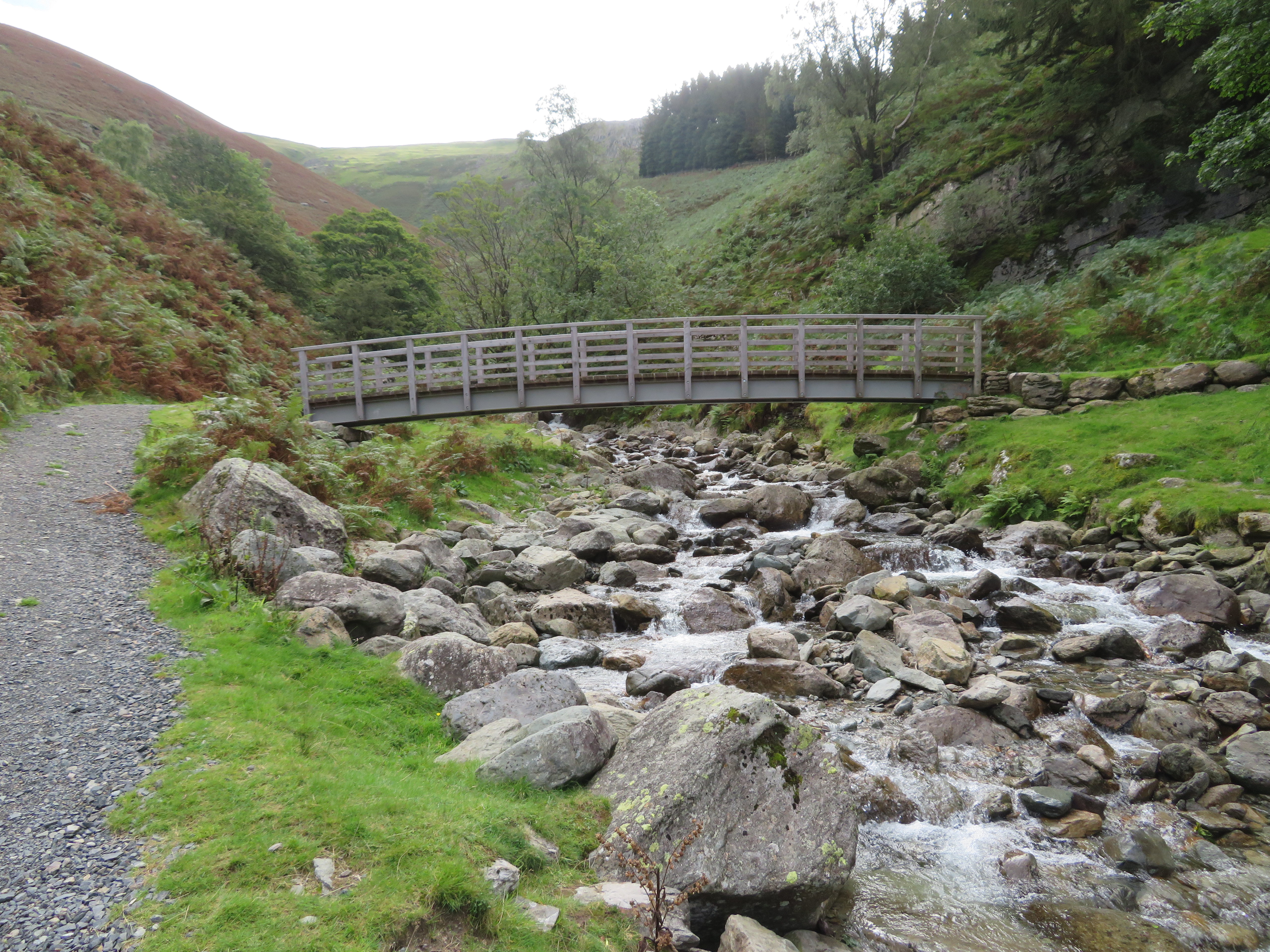 Footbridge over Greenhead Gill
 I had a little wander up the gill to suss out any photo opportunities and noted a small but attractive water run coming down from below the Thirlmere Aqueduct but deemed it not usable in this report although a few minutes later and a bit more climbing thought that this next one was.
 Thirlmere Aqueduct with Stone Arthur on the skyline
 Although I don’t like a fellside cloaked with bracken I must admit that under certain circumstances and conditions it can look quite attractive, albeit when it’s dying off and the contrast between living and dying of same is evident in the above photo.
Just a few more metres gained and a look back...
 Helm Crag
 showed a dull sky but well deserved sunshine over Grasmere, but like the few others that we saw on the start of this walk it was still cool enough to wear our coats for the time being. The climb up was easy enough with just the odd spot where it’s a little steeper and wetter today and we were soon approaching Butter Crag with a little patch of blue now appearing above us.
 Butter Crag skyline
 We were on the zig-zags when we had a more or less uninterrupted view of Grasmere and surrounding fells and mountains with bright patches of sunlight highlighting random parts of the views before us.
 A view across Grasmere
  Over Grasmere the other way
 Onwards we climbed with the path getting ever wetting the higher we got.
 Wet paths
 Great Rigg is peeping over the skyline.
 Great Rigg - Stone Arthur and Greenhead Gill
  Butter Crag
 Soon after this we were at Alcock Tarn, a place that is both popular and a magnet for picnickers and it’s almost impossible to arrive here and find it devoid of other visitors.
 Alcock Tarn
 Alcock Tarn is a lovely place and I consider it to be one of the best in the LD especially when the flowers are out and floating on the water amongst the green reeds. The reeds seem to be thickening up across the narrow part of the tarn and it’s to be hoped that it isn’t allowed to get too overgrown and we end up with two tarns in future years as it is most beautiful as it is just now.
The sky was opening up by now with ever increasing areas of blue appearing above us although it was still mostly thick cloud over the Central and Southern Fells. As was to be expected there were a few people at the tarn and others either passing by or leaving as we made our way along the path at the south end that makes its way across the top of the built up area that forms the dam that makes Alcock Tarn what it is today. Passing through the wall we now took the easy and well graded path that would take us up to Nab Scar, a path that is a lot easier than grinding ones way up the alternative steep one from Rydal.
A little bit of elevation from the tarn gave us an alternative view of it and the thickening of the reeds are plain to see.
 Alcock Tarn
  A steady path through the bracken
 Soon enough the views were opening up before us and despite the cloud cover the air quality wasn’t too bad at all.
 Coniston Fells behind Grasmere
 A good steady pace soon had us passing below Lord Crag with the summit of Nab Scar in sight.
 Passing below Lord Crag
 Is this another of A Wainwright’s subjective summits as Lord Crag versus Nab Scar for seniority as there is but a cock stride between them and the obvious winner would be...
 Lord Crag
 with its far more attractive top than this one.
 Nab Scar
 It must get down to the views.
 View of some Central Fells
 Leaving Nab Scar behind and passing over Lord Crag we made our way towards Heron Pike grabbing a shot of Windermere on the way along.
 Windermere from above Lord Crag
 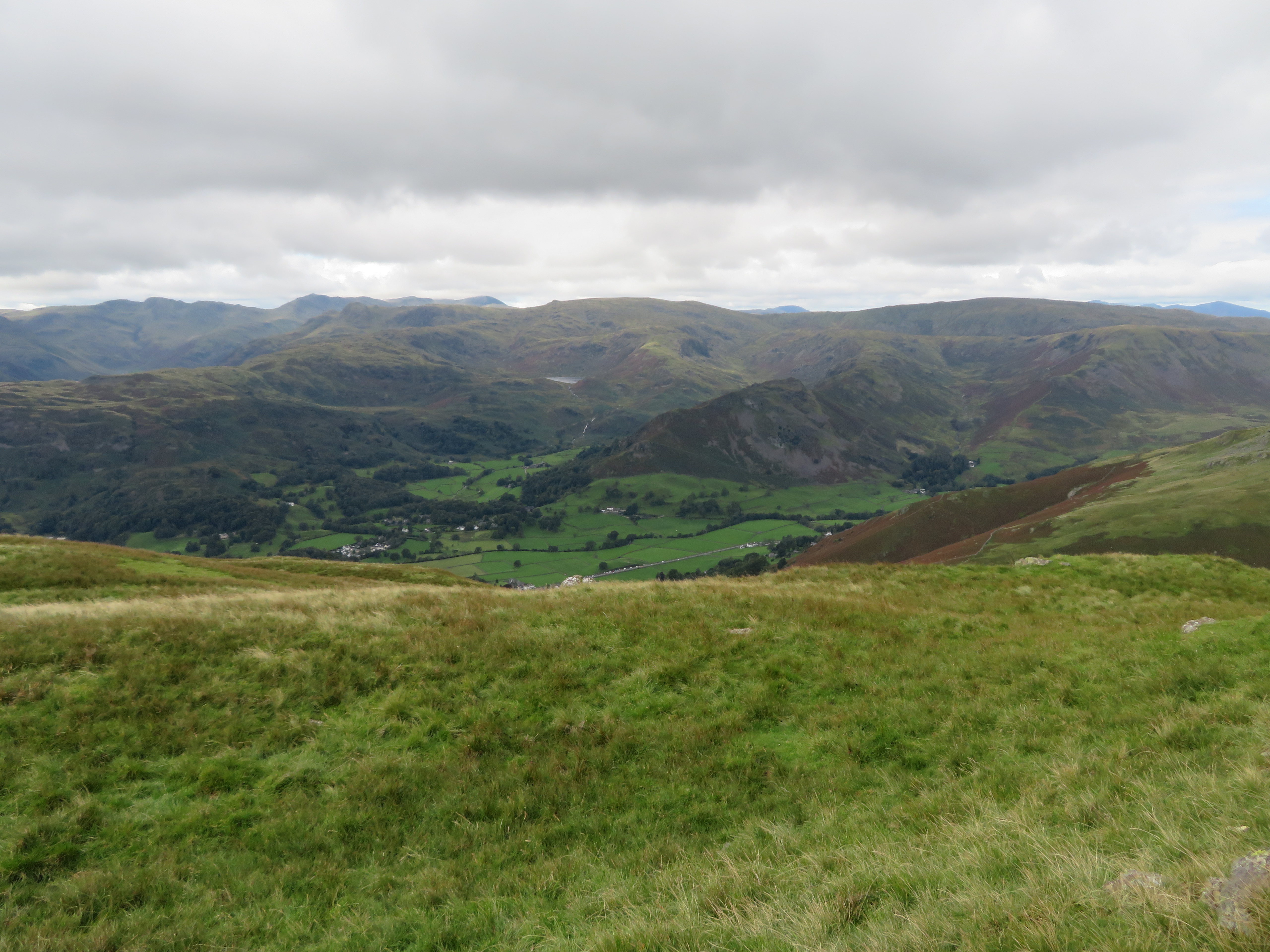 Fells around Grasmere
 Our so far quiet walk was now interrupted by a line of walkers taking advantage of the good weather and holiday period to add the Fairfield Round to their ‘have done’ items in their bucket list of things to do.
 Heron Pike - Great Rigg - Fairfield
 Arriving at Heron Pike we decided to hunker down by the wall lower down the fellside for a quick break just to keep away from the continuous line of people and also the quite cool wind that was blowing cold and strong just now.
The view up to Fairfield from Heron Pike gives a daunting prospect of the way to the climax of this classic round to the uninitiated with a good and clear view of the east ridge that needs to be walked to complete this walk. Great Rigg, Fairfield, Hart Crag, Dove Crag, etc are all in view from Heron Pike.
 Fairfield from Heron Pike
 A hazy view to the west.
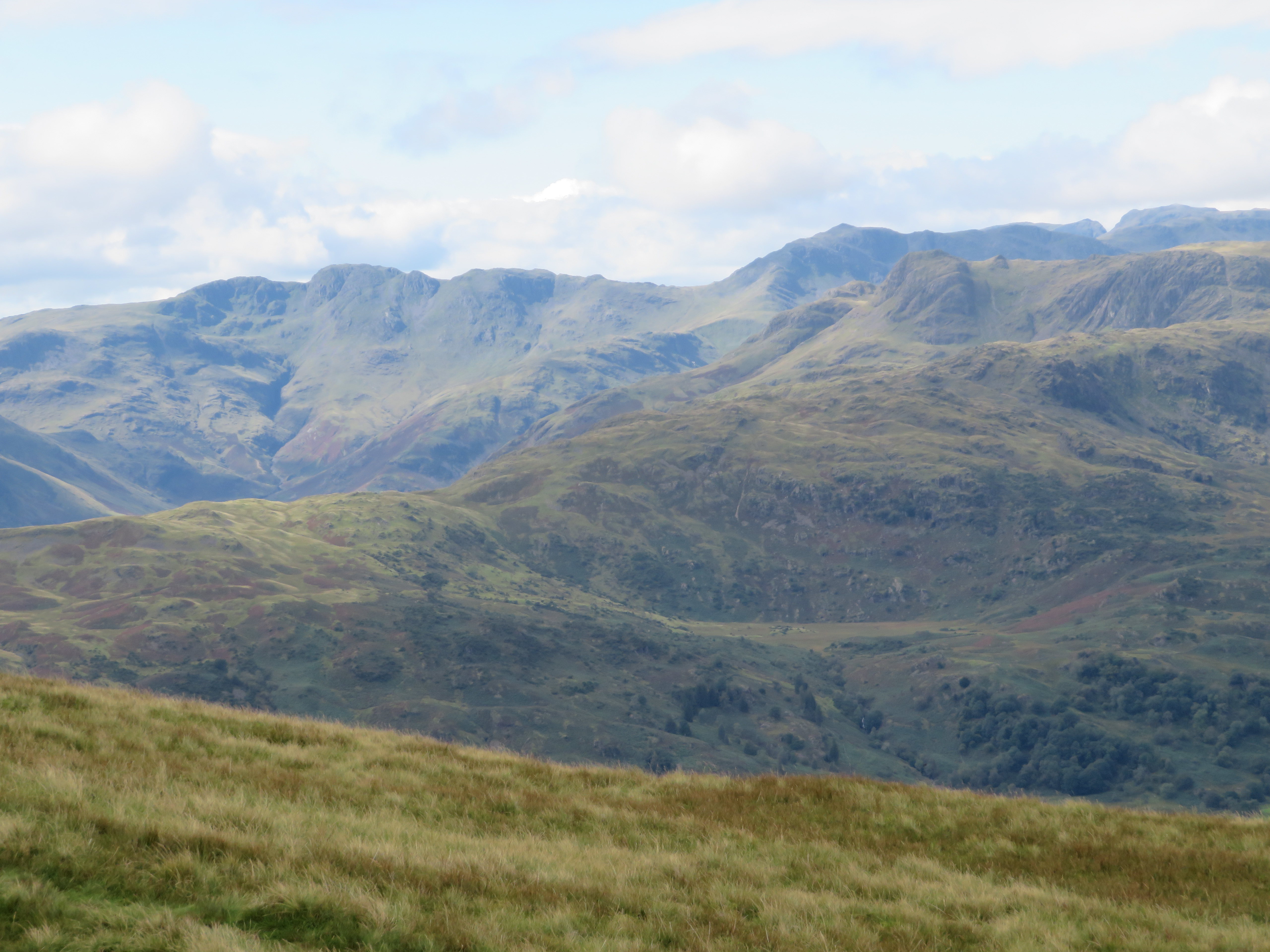 Bow Fell and The Crinkles
 After we had left Heron Pike and on our way to Great Rigg we had an altogether different view of Heron Pike than the one on the way up to it. At about this point a mid 20 to 30ish year old walker stopped and asked us if there was a top to this walk and being a bit dumbfounded we looked at each other and pointed out Fairfield to him leaving us to wonder just what humanity is coming to when they can’t even recognise the obvious highest point of a walk. Do some people even look at a map when thinking of going out for a walk in the fells, or anywhere else for that matter?
 Looking back towards Heron Pike
We now had a good view down to Rydal Beck and into Rydal Head and just below us from this point we could see a teardrop shaped sheepfold, quite an elaborate structure and must have taken quite a while to construct. There are also an abundance of newly – or recently – planted trees on both sides of the beck.
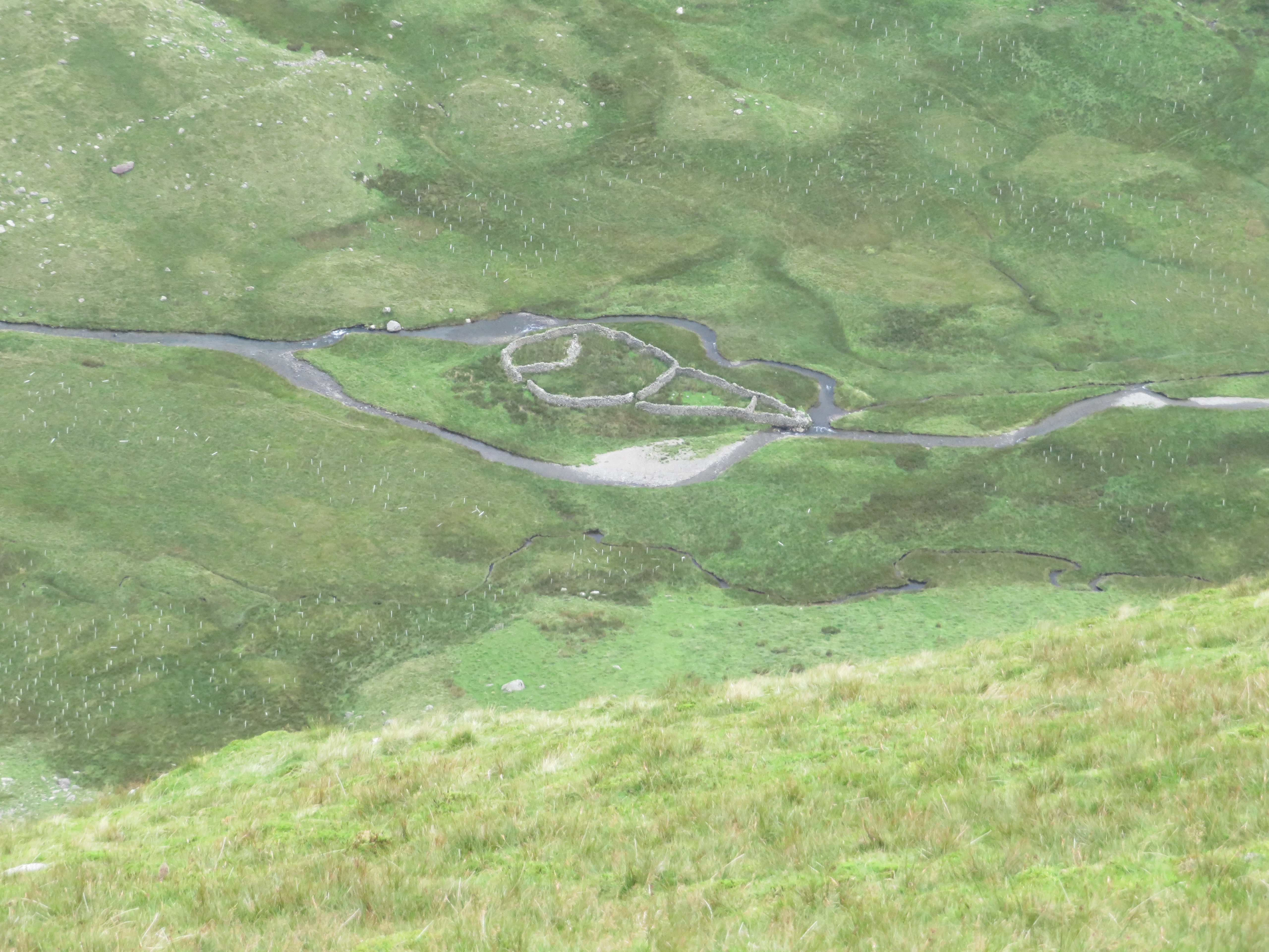 Teardrop shaped sheepfold by Rydal Beck
  A look towards Rydal Head
 As we neared the climb up to Great Rigg we slowed down to let the crowd get past and on this next image there are at least 20 other walkers either making their way up, resting or looking at the views as we have been doing throughout the walk.
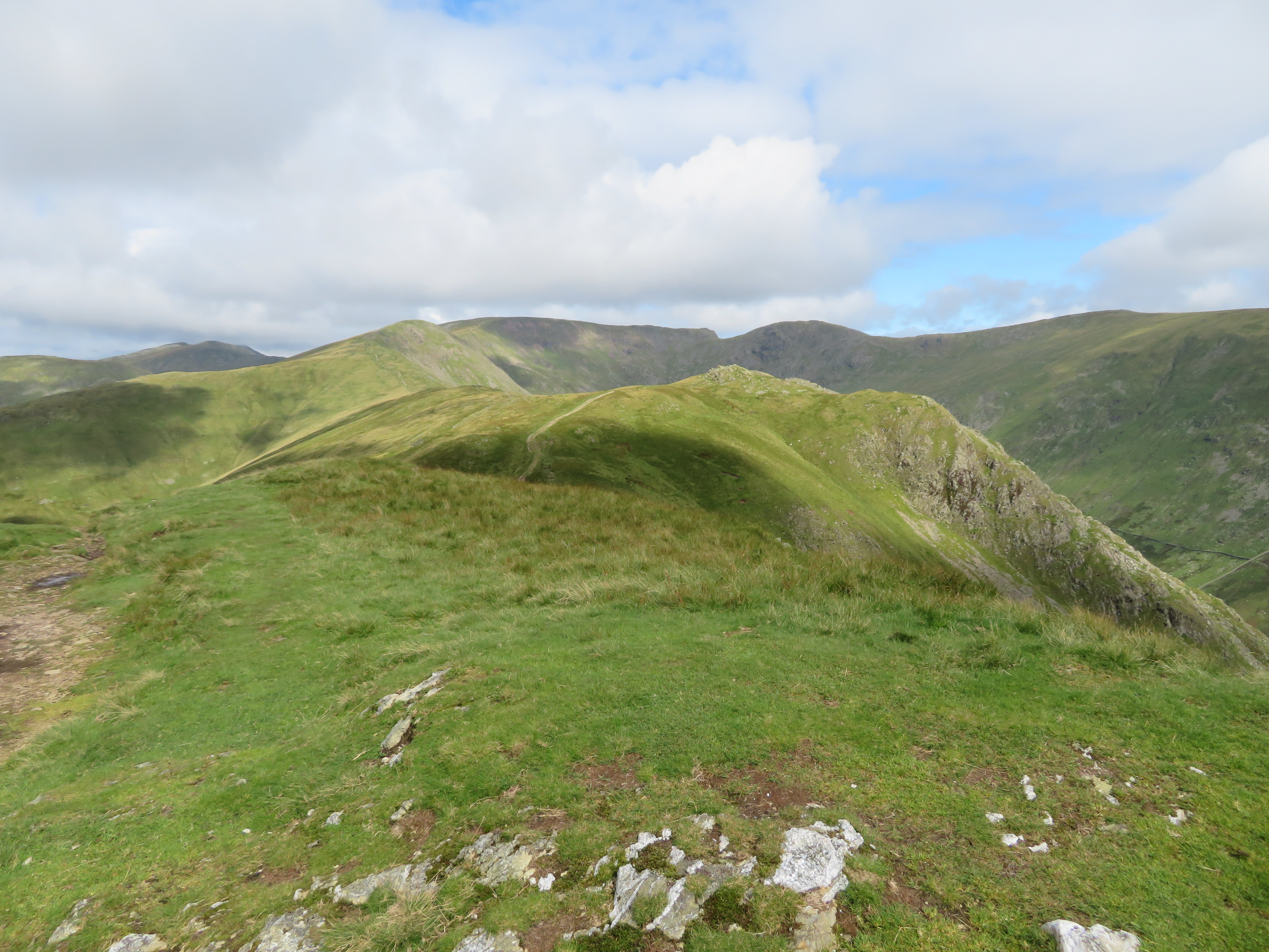
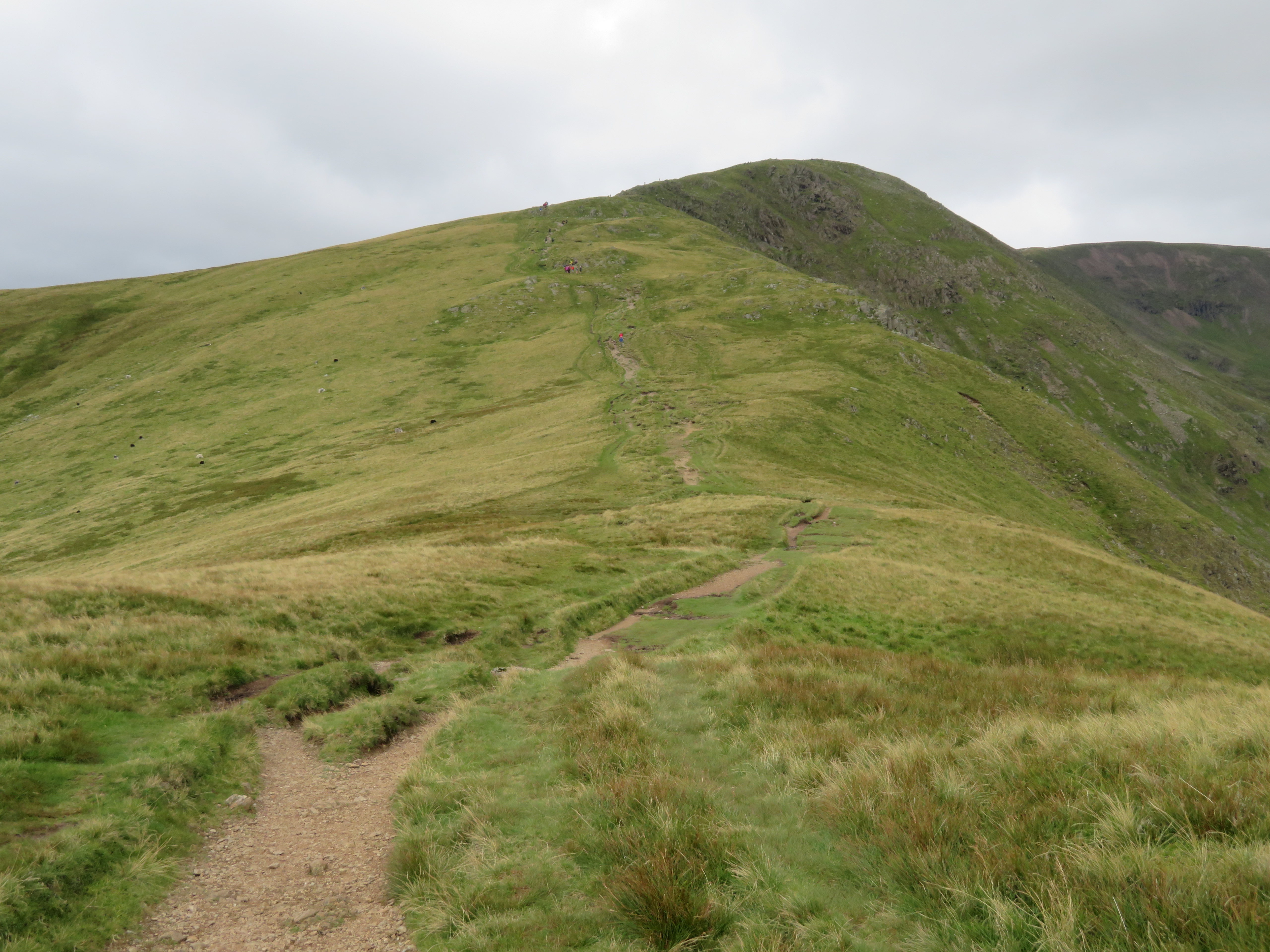 A busy Great Rigg
 After giving them time to move on we followed in their wake to make the steady climb to the summit of Great Rigg from where the views are more than magnificent.
 Easedale Tarn behind Helm Crag
 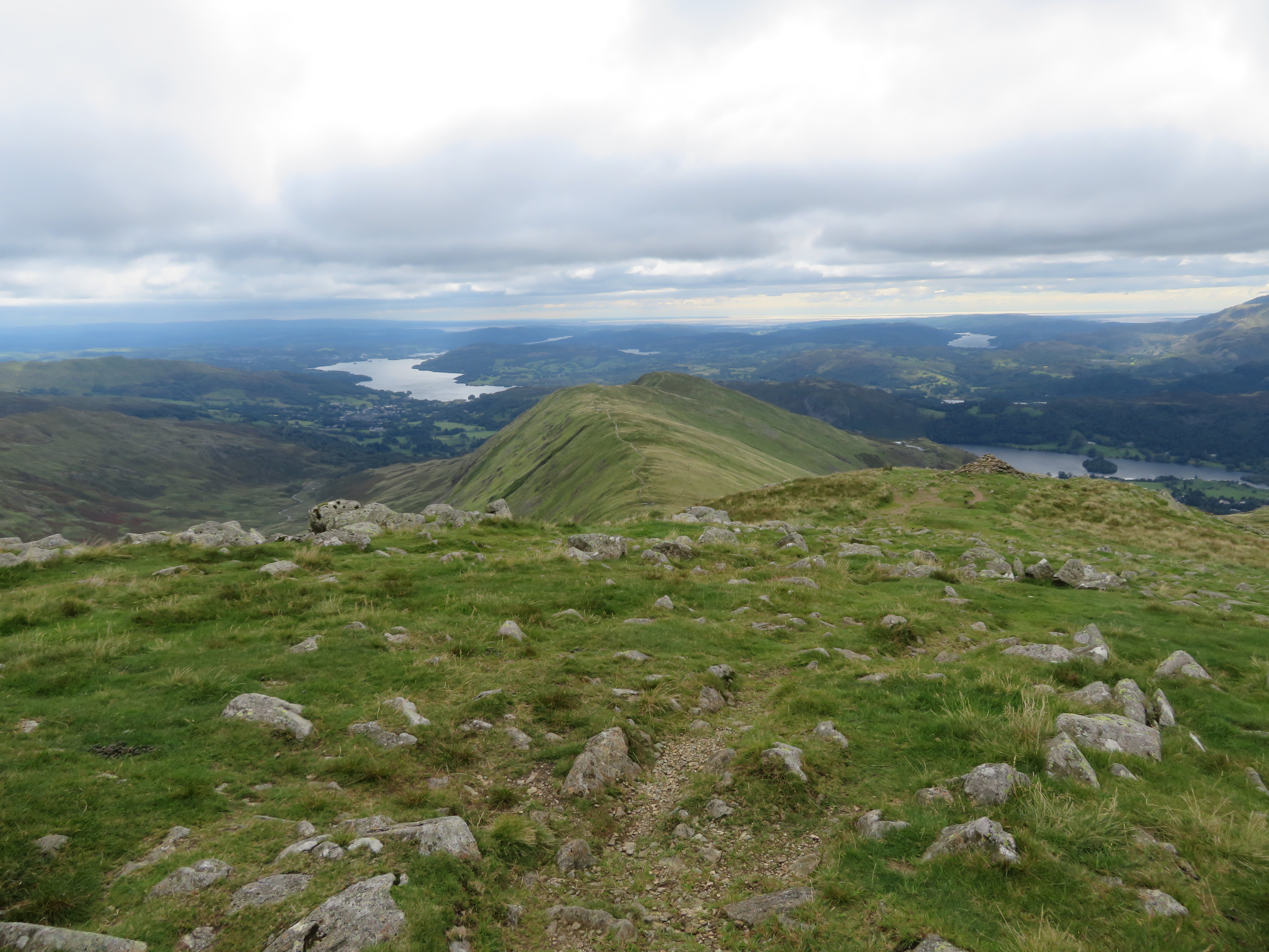 Great Rigg to Nab Scar and beyond
  Fairfield with Dollywagon Pike to the left
  Fairfield and Hart Crag
  Hart Crag and Dove Crag
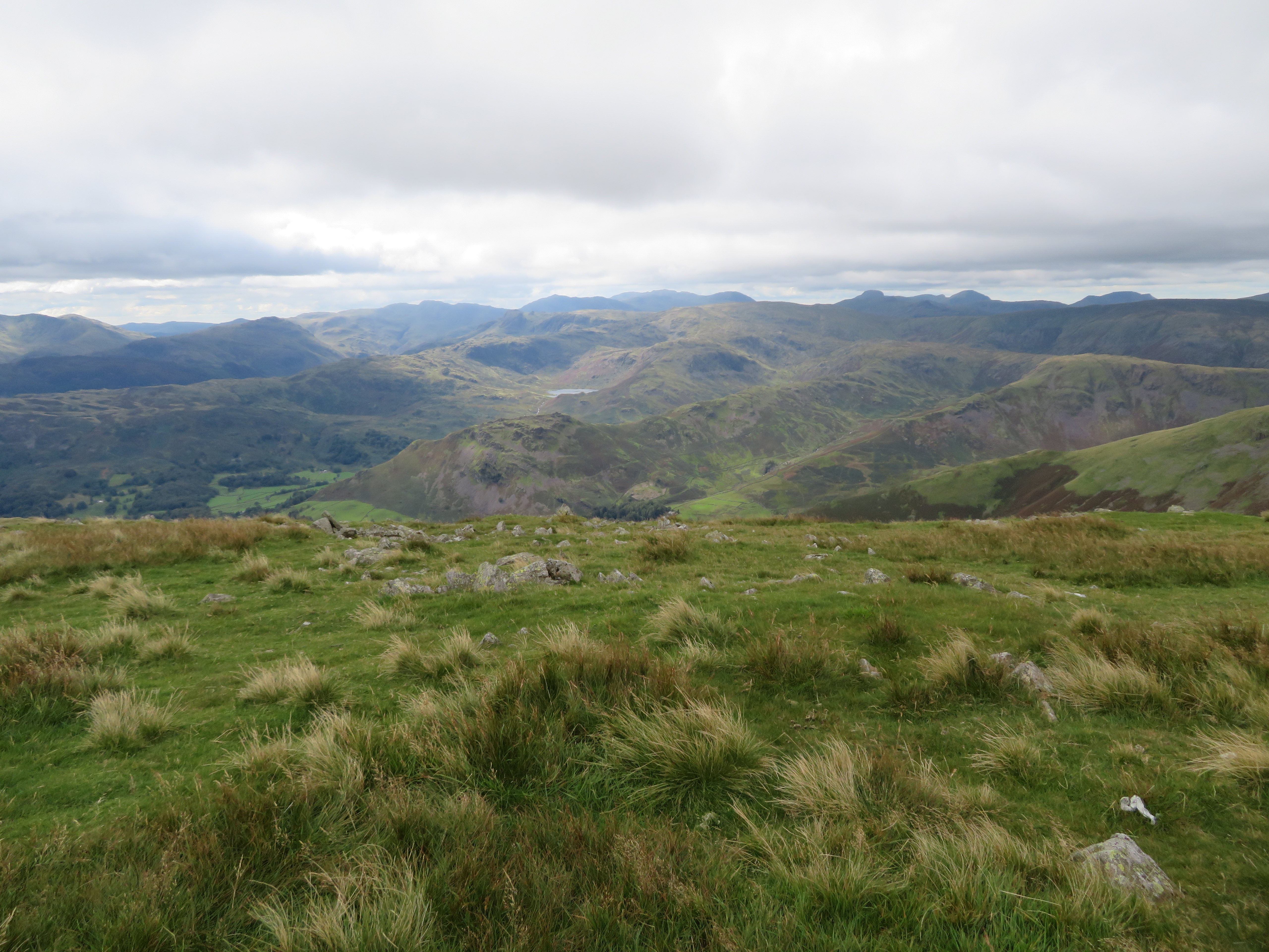
 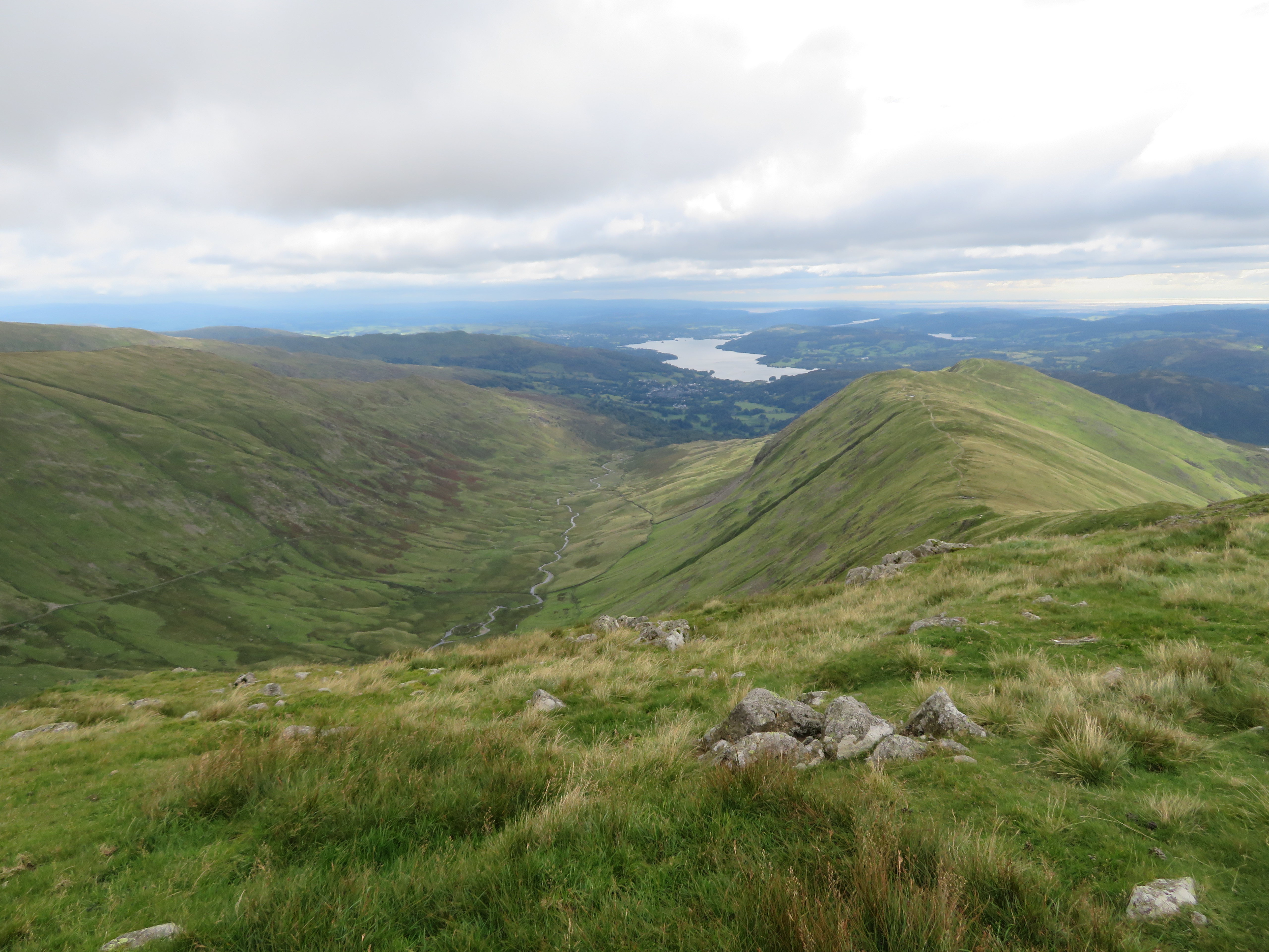 A view south from Great Rigg
 Depending on where one stands on this ridge a great number of tarns, meres, and waters can be seen, not only the local waters but also a good stretch of the sea down to the south was also visible.
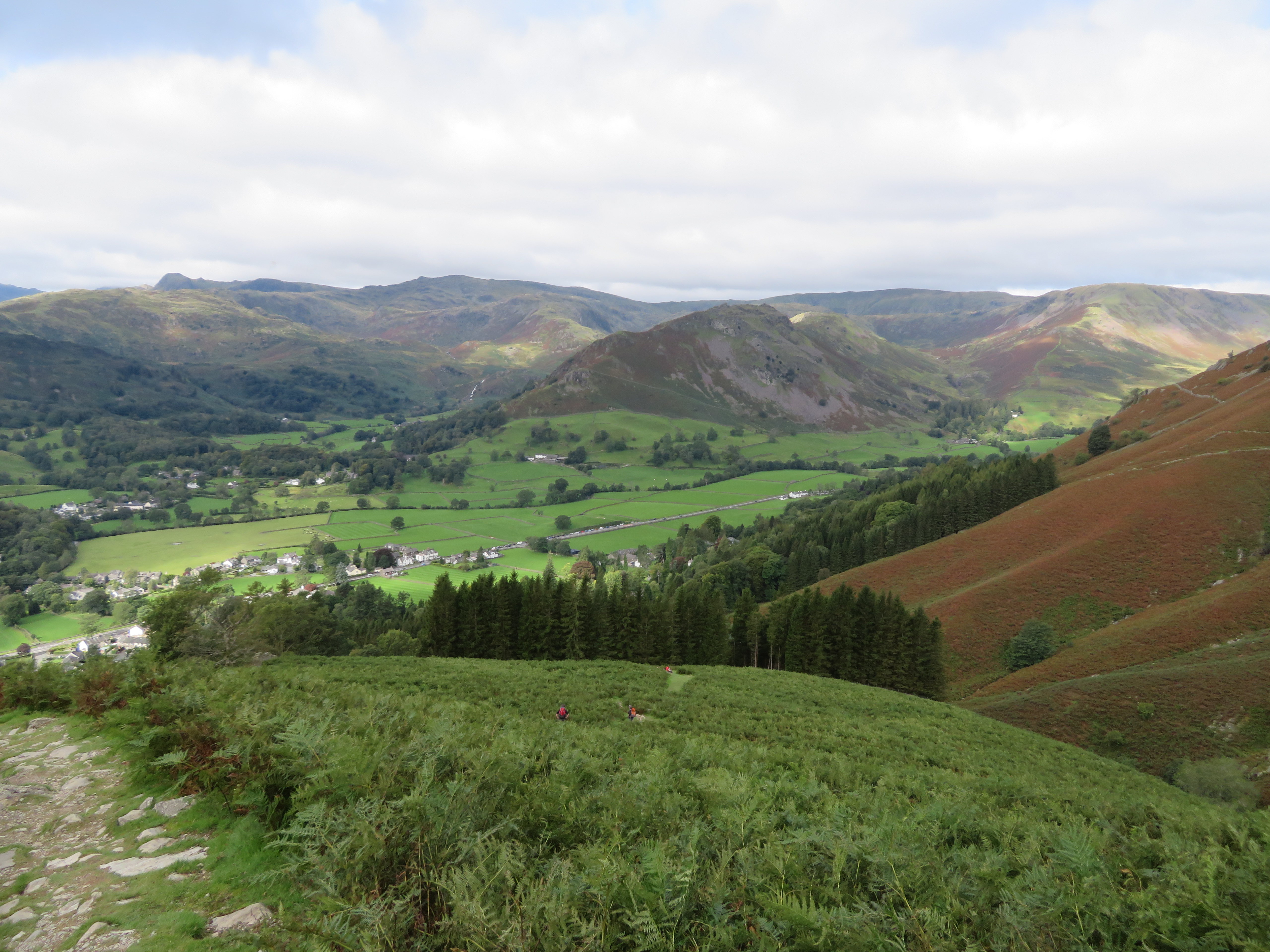
We deemed it too busy to get ourselves onto Fairfield and as we have been there on many occasions missing it out this time was no great loss so we retraced our steps back to the path junction where we would take a turn to the southwest and head down towards Stone Arthur. Now this is where we met our second trick question of the day when a young woman who was stood at the Y of the path junction asked us which way it was to Ambleside. I must say that at this point of the walk Ambleside and Grasmere are quite plain to see down below on either side of Stone Arthur and as I gave an invisible shake of my head pointed her in the right direction. God bless the MRT for the work that they do and it’s no wonder that call outs are on the increase.
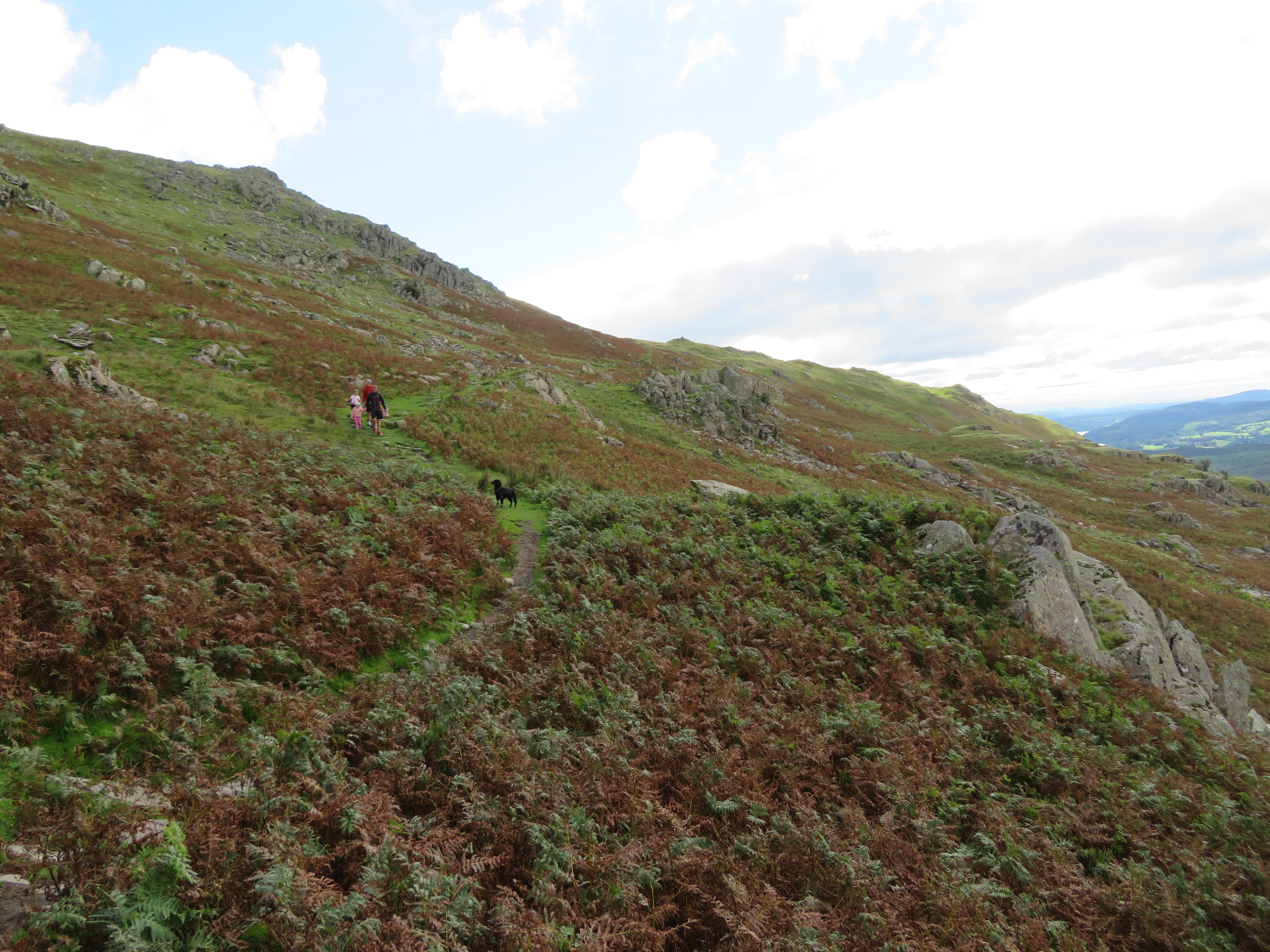
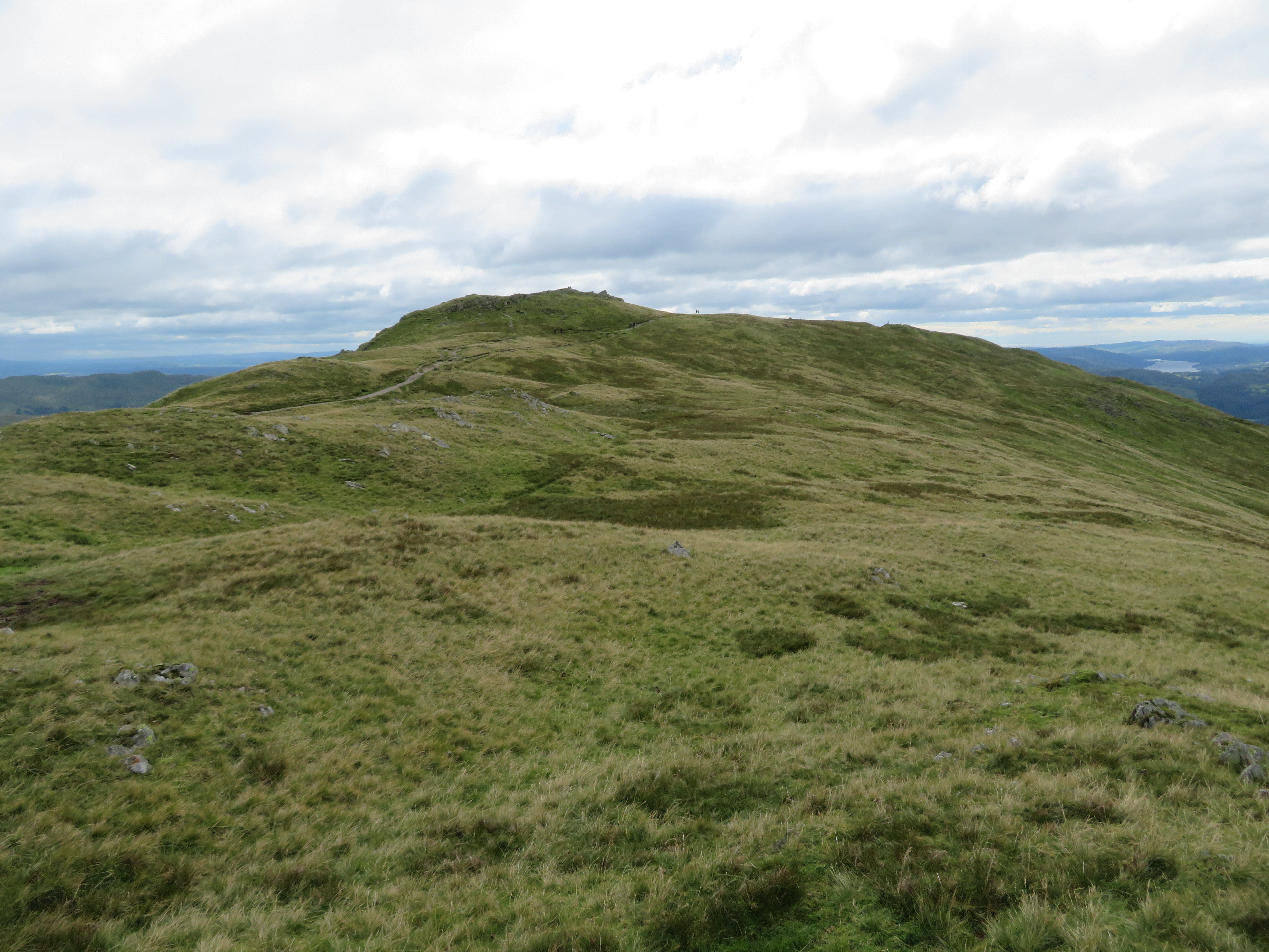
 The path down to Stone Arthur
 It’s a good path down to Stone Arthur although today and after the previous nights rain the ground was a tad greasy underfoot but we soon arrived at our last top of the day where we once again gained shelter from the wind and had a break to finish off our leftovers.
 Southwest from Stone Arthur
 After leaving the summit the ground was still slippery on the first and steepest part of the path but as it levelled out became easier to handle and we made decent time on the descent. After dropping down south along the quite steep part we turned off to the west at around the 330 metre point to follow an old wall that would accompany us right the way down to Greenhead Gill by the gate leading on to the fells.
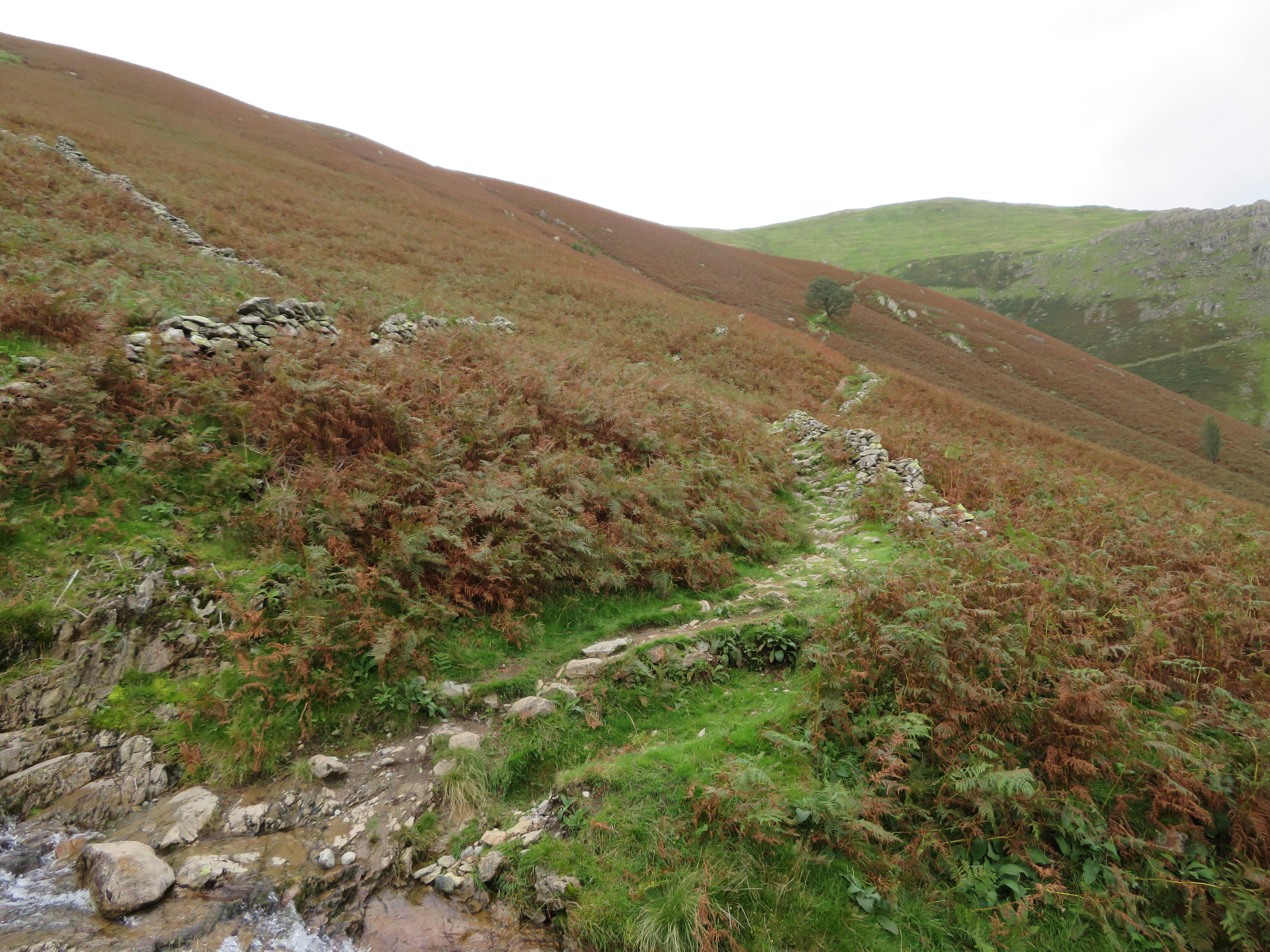 The path follows the old wall for a while
 A last photo of Grasmere nestling amongst the trees was just too good to miss.
 Grasmere
 All walks are too good to miss and this one was no exception, and even though it was a short one there is much to see with far reaching views across the mountain ranges especially to the west and south. The range of fells that we could see stretched from Buttermere’s High Stile range to Pillar, Great Gable, the Scafells, right across the Central and North Western Fells to the ones in the south, quite a remarkable outlook as the individual mountains were lined up in rows one after the other. What is there not to like. In these new days of social distancing and the wearing of masks, quarantine, isolation, and for many the thoughts of shopping and mingling on town and city streets are too much for them and walking the fells where peace and quiet usually reigns gives much needed therapy to jangled thoughts and fears of coming down with this seemingly rogue and so far incurable disease. To alleviate these thoughts from myself just now I and my walking partner will now get home and sink a couple of well earned beers, albeit from the armchair but that makes it no less a pleasure to drink.
