free to be able to rate and comment on reports (as well as access 1:25000 mapping).
Sat/Sun 21st/22nd July 2012We had planned to do this trail a few weeks ago and so had booked the campsite at the halfway point, so we were crossing our fingers that the weather would be good (for a change)….we were not to be disappointed

.
There is a good website giving lots of info, so I won’t be going into detail on the route, will just comment on what I think is interesting and add my pictures.
As the website says:
The Taith Ardudwy Way is a well signposted upland pathway of 24 miles (If done as planned by website) from Barmouth in the south to Llandecwyn in the north. The Way traverses Ardudwy, an ancient commote, (an administrative area in the Middle Ages). It visits each of the parishes bordering Cardigan Bay and crosses the geological formation of Cambrian Rocks, amongst the oldest in Wales, known as the Harlech Dome. The Way is chosen to take in some of the best coastal and mountain views in Wales, visiting prehistoric sites and offers the chance to see varied vegetation and rare birds of the area. The Way is mostly on quiet lanes, tracks, and pathways all of which are waymarked with the Buzzard logo.For a full detailed description of the route, have a look at the web-site:
http://www.taithardudwyway.com/index.html Information boardDay one. Llandecwyn to Dinas Campsite near to Llanbedr.
Weather. Mainly sunny, calm.
Day 1 routeThere is a certain amount of pre-planning needed to do this walk with a day-pack. Luckily there are trains and buses linking the sections which make it easy with the logistics needed. I drove to Llanbedr dropping off Ele to walk to the train station, then I drove up to Dinas campsite to leave the car, leaving it a little late to run the 3 miles back to the train station at Llanbedr, where the train would be leaving at 10.15am. Luckily the owner of the campsite let me borrow his bike to cycle down to the village where I left it in his mother’s house
.
Once disembarked off the train (10.45am) we set off through the small village and soon was on a nice path which led to Llyn Tecwyn Uchaf, from there it dropped to a lovely situated chapel high up on the hillside. A second lake was passed then some steep roads led uphill before we reached paths again.
 Second lake passed
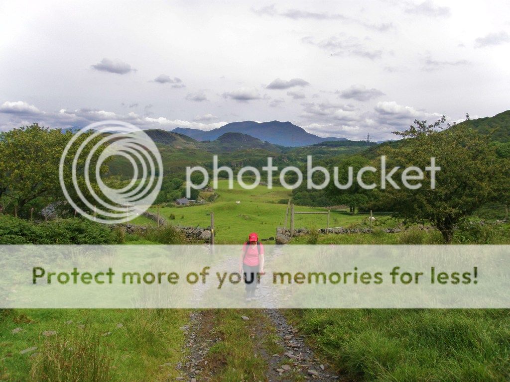 Gaining height
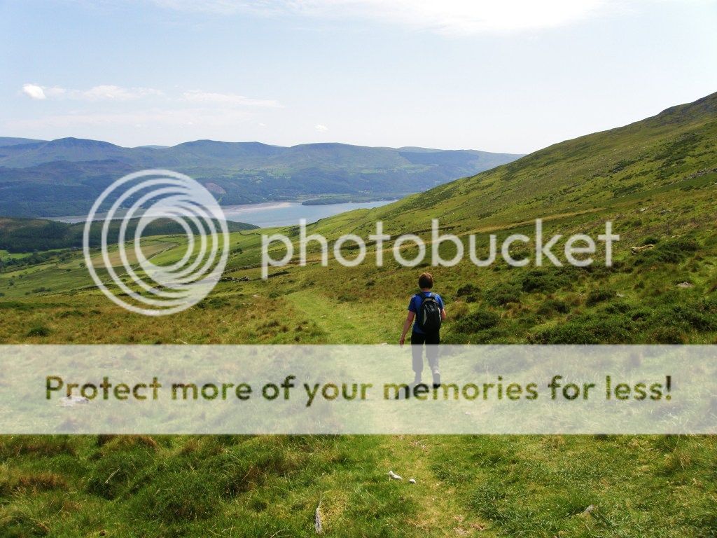
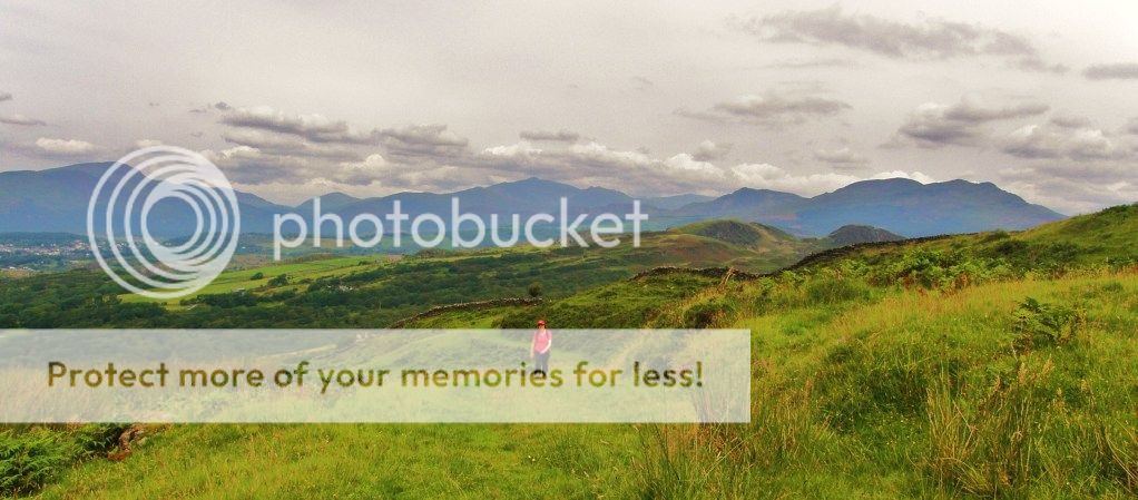 Northern Snowdonia comes into view
 Tremadog Bay
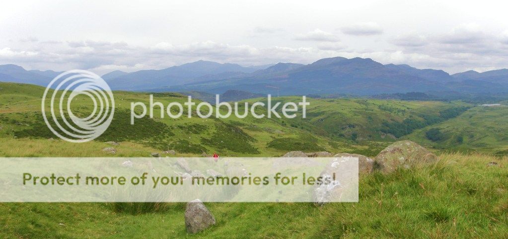 Nearing the high point
 The Rhinog mountains
We climbed up to a high point of 386m. Just off track is a really interesting stone circle bronze age burial sight that is well worth going to have a look at.
 Ancient Cairn
The path stays high for the next few miles, giving great views of mountain and coast.
 Nice walking up high
 Can't go wrong
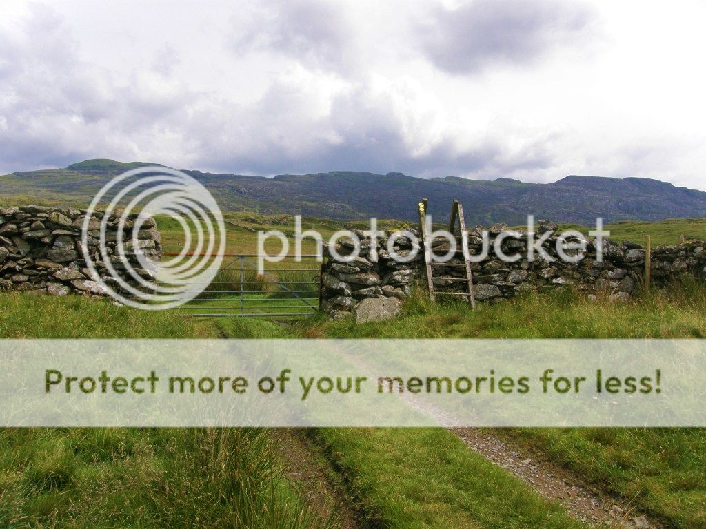 Rhynogs
 Looking back to Snowdon
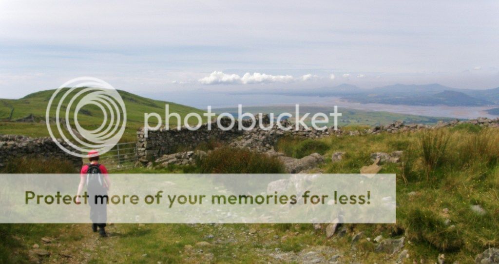 High above the coast
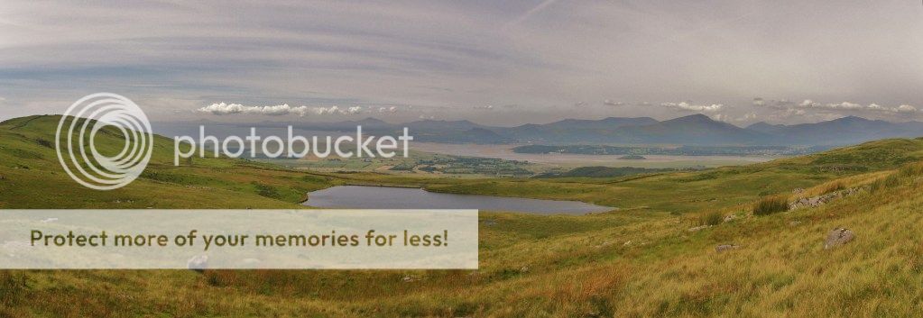 Panorama north west
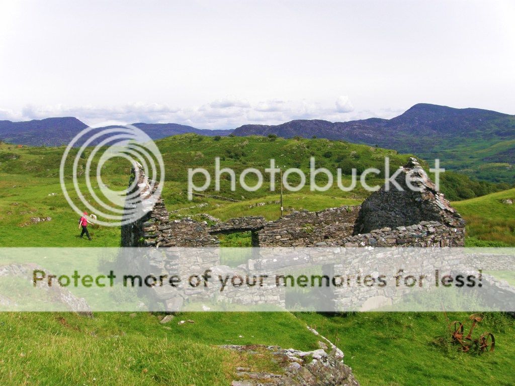 One of many ruins passed
 Dropping down
It eventually drops to another minor road where a few houses are passed, then re-climbs again before the final drop to Dinas campsite. About 1k short of the campsite a very wet marsh has to be crossed, here I became a hero of sorts as I rescued a lamb water-logged up to his neck in the marsh unable to get out, and got a bit of a dousing myself in water up to my knees for my good deed

.
 The worst marsh section
 Not far now
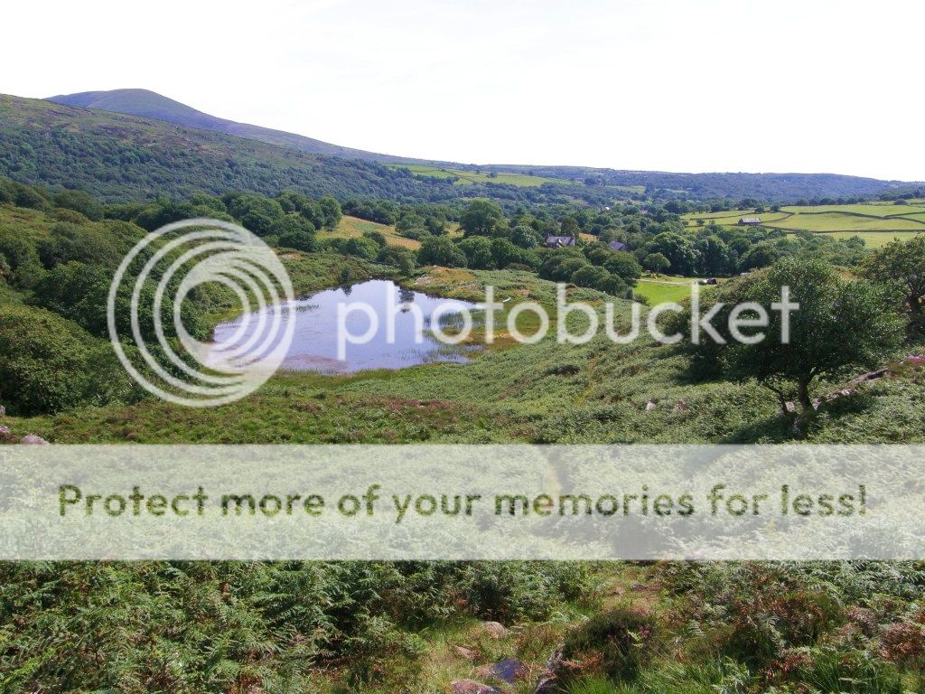 Our campsite to right of lake
We reached the campsite at 3.40pm. They supply log burning stands (and logs) so we had a cracking fire in the evening with a few bottles of ale to boot, and one of the best baked potatoes I’ve ever had
.
Second Day. Sunday22nd.Weather. Sunny, breezy.
Day 2 route (my actual route with deviations)Again the logistics of transport were required. I left the campsite at 9am, leaving Ele to start the walk from there. I dove to Barmouth, left the car then caught the 9.40am bus back to Llanbedr, then walked from the village to meet Ele near the viewpoint by Gelli bant 40mins from the village.
 Impressive stone walls
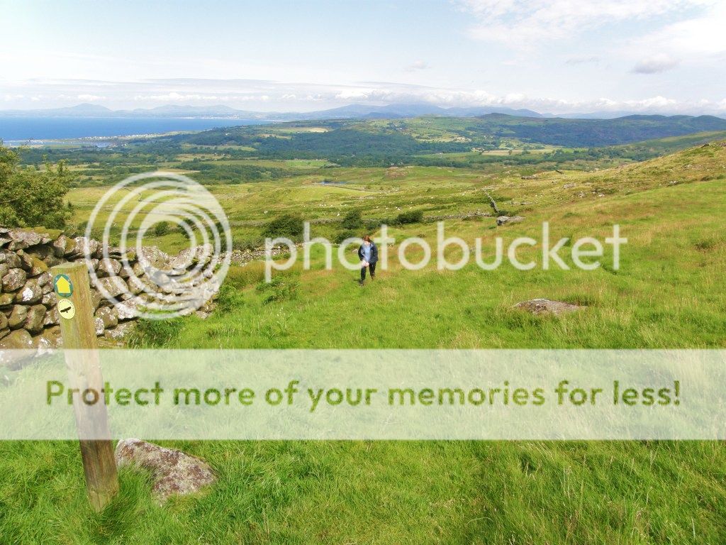 Climbing up
 Aproaching Pont Scethin
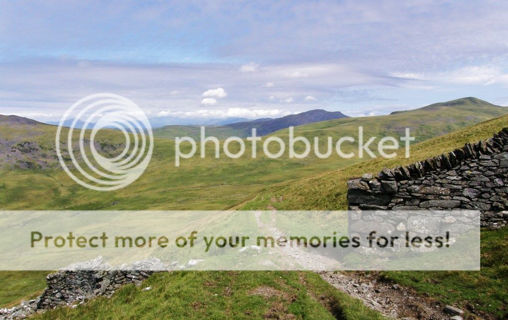
A climb leads over the hillside and then drops to the magically situated Pont Scethin bridge, which used to be an important historic route. Incredibly stage coaches crossed the mountains here to Bontddu.
 Pont Scethin
 Pont Scethin
 Pont Scethin
Here I left Ele who walked the usual lower route, as I deviated to climb over the 588m hill Llawlech.
 North from Llawlech path
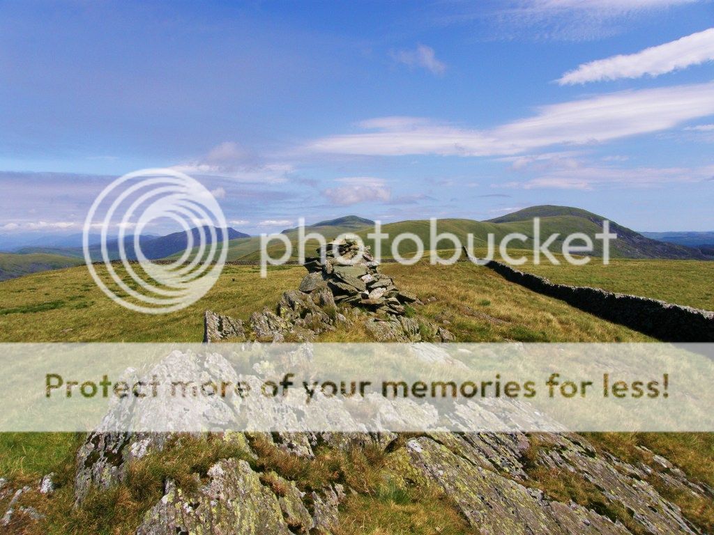 The Rhynogs from Llawlech
 Llyn peninsular from Llawlech
From Llawlech I dropped to Bwlch y Rhiwgyr to wait (50mins!) for Ele to re-appear.
 Cadair idris from Bwlch y Rhigwr
 View north from Bwlch y Rhigwr
 The walk from the Bwlch gave more amazing views across the Mawddach estuary to Cadair Idris and beyond.
 Mawddach Estuary
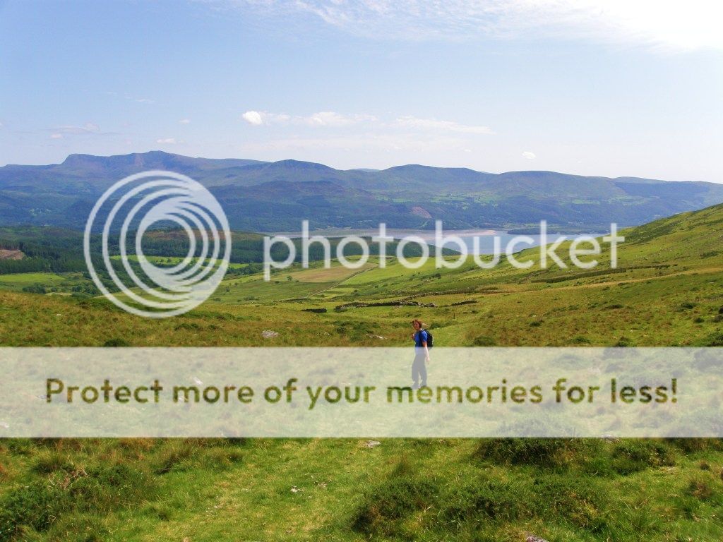 Cadair idris range
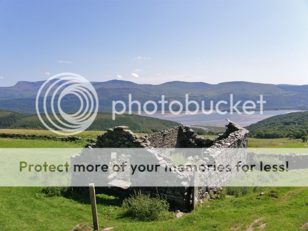 Cadair idris
 View east from trail
 Panorana
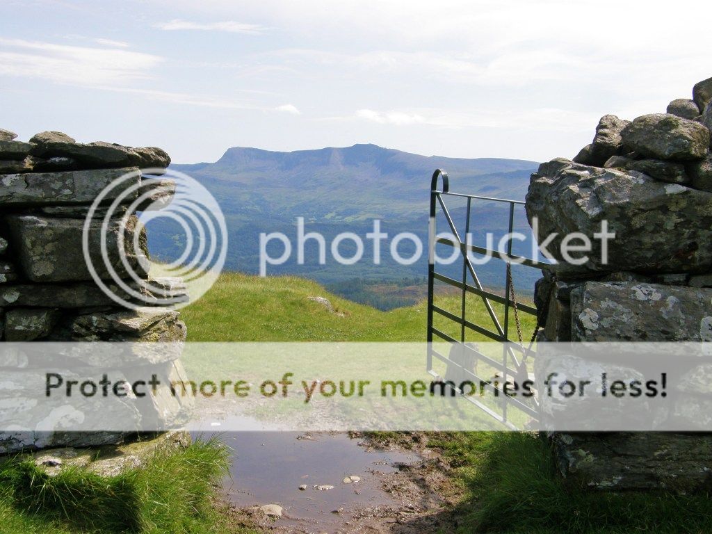
Another Bwlch was soon passed (Bwlch y Llan) then lovely grassy lanes were followed over and then down the steep hillside above Barmouth, passing an interesting ruined hamlet on the way.
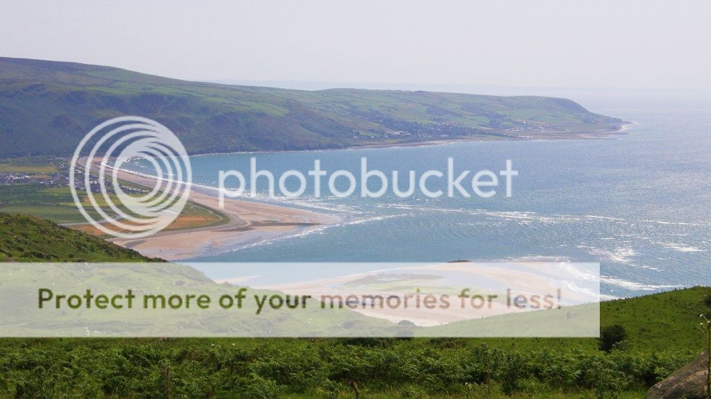 Barmouth bay
 Grassy lane
 Stone walls
 Ruined Village above Barmouth
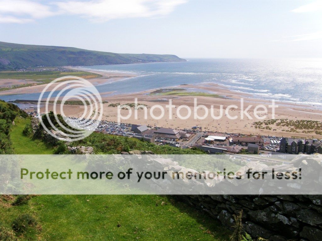 Barmouth
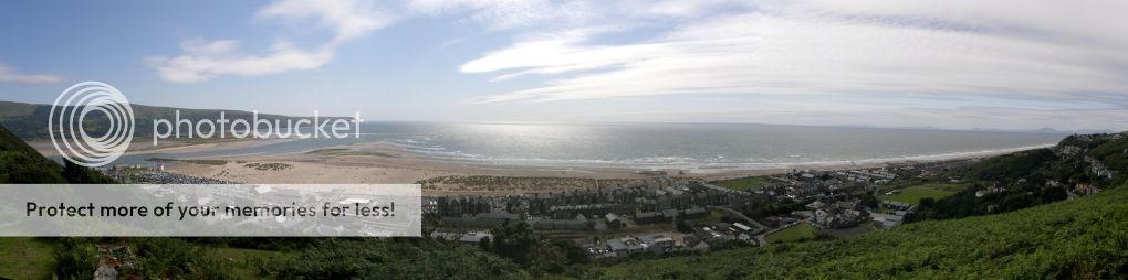 Panorama Cardigan bay
 End of walk
We arrived in the busy holiday town of Barmouth at 3.45pm where we rewarded ourselves with a Magnum icecream
.
This is a great walk which I would highly recommend, it’s easily done in 2 days and is well away from the tourist traps on the coast, it goes fairly high into the hills “to be away from it all” and the views of hills and coast are superb.
