
Skye Trail - Kyle of Lochalsh to Rubha Hunish
The Skye Trail is a challenging, unofficial long distance route through the stunning landscapes of the Isle of Skye.
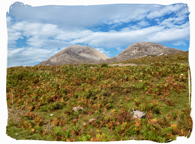
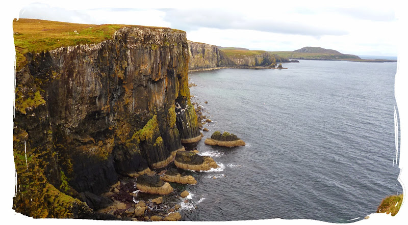
The trail covers 128 km of tough terrain including spectacular mountain and coastal scenery. It follows much of the celebrated Trotternish Ridge and also passes under the very shadow of the jagged Cuillin, the finest mountains in Britain. There are remarkable but almost unvisited coastal cliffs, steep trails above high drops, and the haunting ruins of deserted villages destroyed in the Highland Clearances.


Skye Trail is the 11th long distance route I've completed in Scotland and it was my last long distance walk of the 2014 season. Plans to walk it had been discussed about a year earlier while walking the East Highland Way. Skye would be visited late summer 2014 with one or two others and would be an epic adventure, backpacking with all the camping gear, all prepared for a week in the wild.
The plan was finalised, there would be three of us going. We would meet at Broadford and walk the route South to North (Broadford to Rubha Hunish) over 7 days with an extra couple of days thrown in for travel purposes. In my case, two of the travelling days were also walking days...
DAY 1 - KYLE OF LOCHALSH TO BROADFORD (9 MILES)
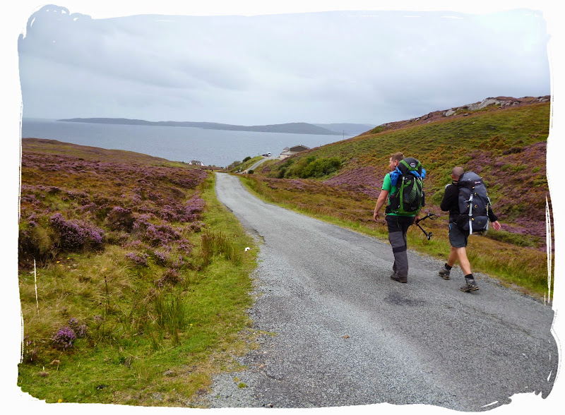
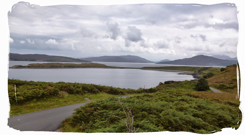
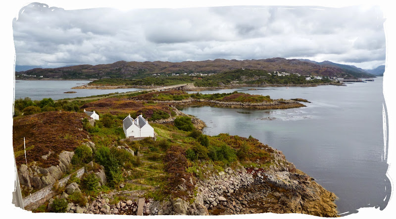
I travelled by train from Aberdeen to Inverness then from Inverness to Kyle of Lochalsh, arriving at Kyle of Lochalsh early afternoon. Upon arrival I immediately began walking, towards Broadford (9 miles), crossing the Skye Bridge by foot.
I was happy it had stayed dry.
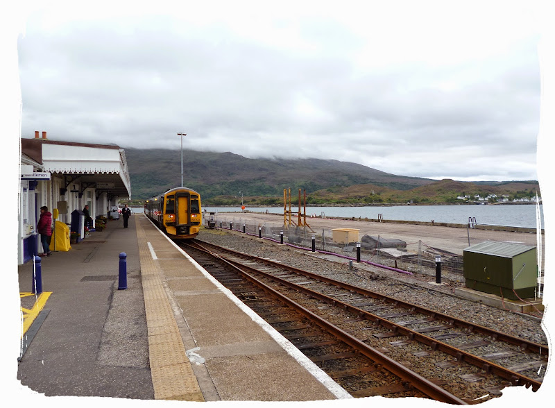
arriving at Kyle of Lochalsh station

heading for Skye Bridge

crossing Skye bridge

view from Skye bridge
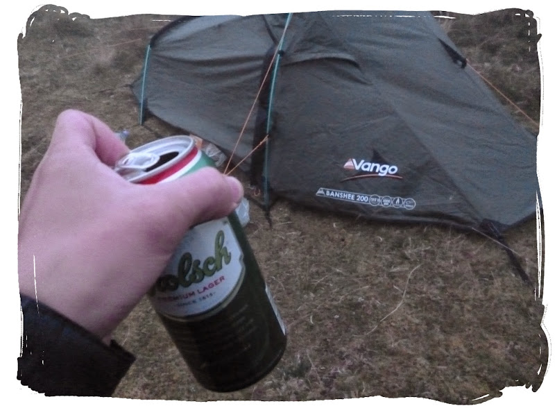
I crossed the bridge (about a mile long!) and continued along the roadside until I reached Ashaig caravan & campsite (3 miles from Broadford) where I spent the first night, on my lonesome. The toll was £5.00, which included use of the facilities with the option of an open fire.
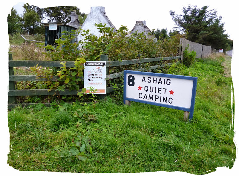

pitched up at Ashaig
Once pitched up I went a stroll into Broadford and back to get me some dinner, adding another 6 miles of walking to my mileage clock for the day. Having now travelled 190 miles and walked 14 miles, you can imagine I was feeling quite tired.
DAY 2 - BROADFORD TO TORRIN (12.5 MILES + 3 MILES)
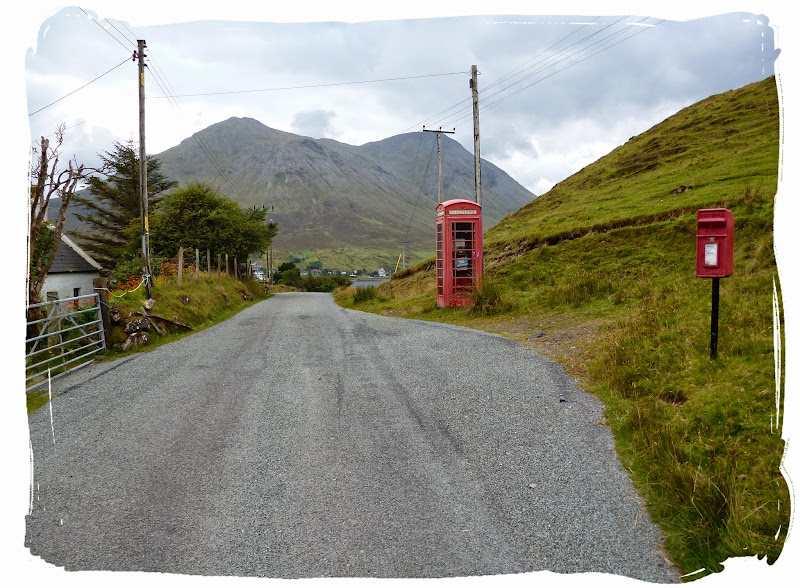
Up at the crack of dawn I had a quick breakfast before packing the Banshee200 away and hitting the road to Broadford, passing Mr. Ed en-route, who was out for a feeding at Breakish. I received a phone call from the others, they arrived safely, spent the night at the Broadford Youth Hostel and I was to meet them at the Co-Op... my loner days were over!

Mr Ed - The Happy Horse (He doesn't say much!)
I shortly arrived in Broadford (45-60 minute walk from Ashaig) just after 9 where I was greeted by my fellow walkers who had travelled up from England. We all grabbed supplies at the Co-op before setting off on our journey and our first destination, Torrin.
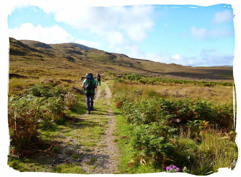
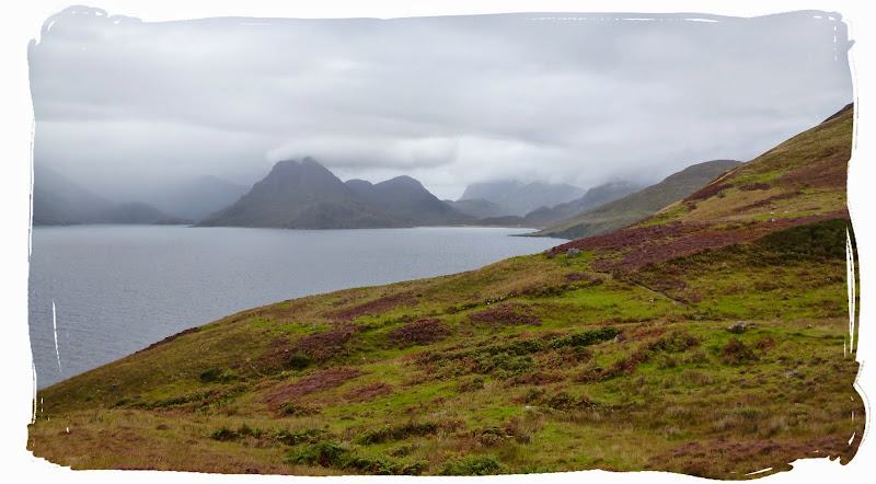
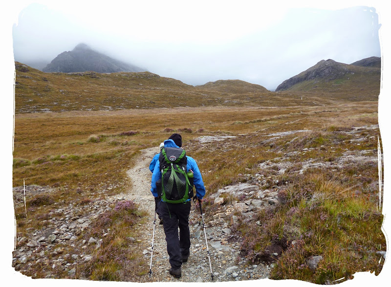
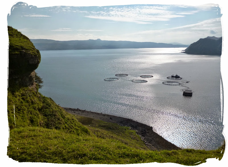
The day started off pretty decent as we took out our Harvey maps and left Broadford by a minor road sign posted for Torrin, followed by a path through a field which then went on to cross some open moorland to eventually reach the coast.
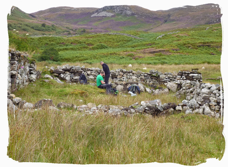
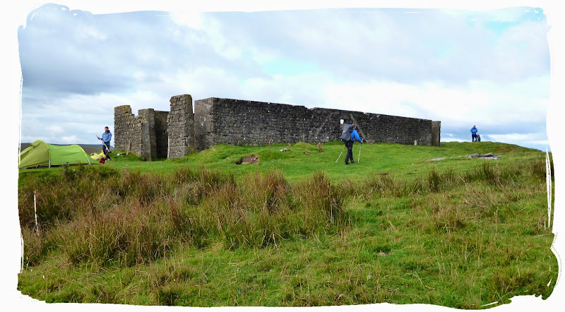
We passed through the cleared villages of Suisnish and Boreraig. There were a few others out walking, a french photographer woman, a small group of walkers heading in the opposite direction and a couple of locals out walking the dog.
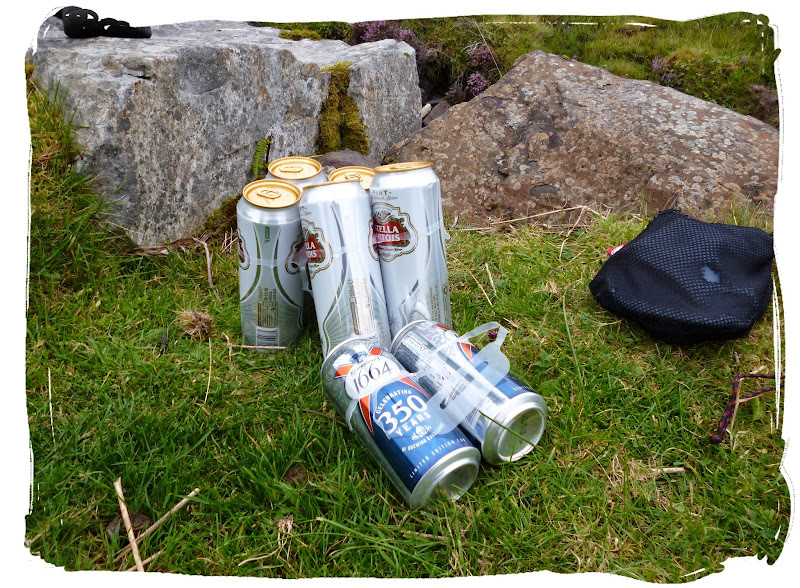
We took to the opportunity to enquire with the dog walker if there were any public bars nearby Torrin (wishful thinking). The answer being a negative, he shortly showed up again, in his car with three ice cold Beers!
Ah, good chap he was!!
good to get some decent weather
reaching the clearances
stopping for lunch
coastal path to Torrin

one of the many fine views looking back towards Broadford
and more fine views towards Torrin
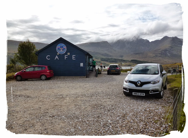
We soon approached Torrin and the Blue Shed Cafe where we were hoping there might just be some more Beers, unfortunately not but the Coffee was good.
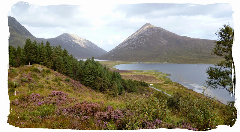
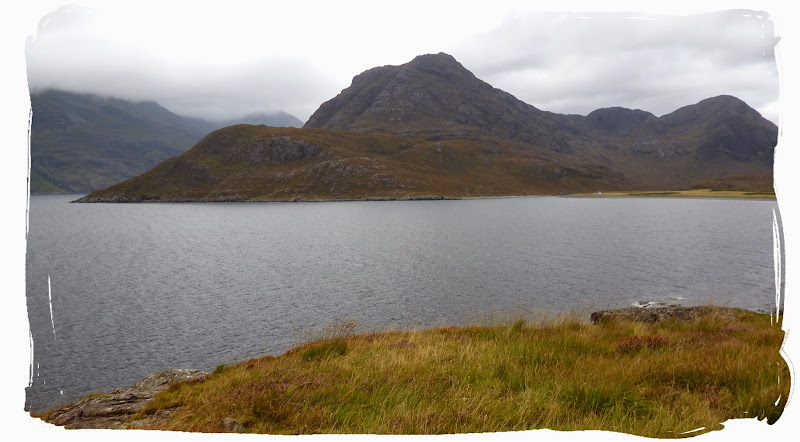
We made our way along Loch Slapin as the weather began to take a turn for the worst.
Making our way along Loch Saplin.
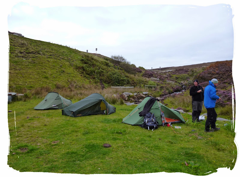
We got pitched up by the loch as the rain came on, followed by strong winds, which went on through to the early hours, leaving us tent bound for the rest of the evening.

pitched up in time for the storm
DAY 3 - TORRIN TO ELGOL (10.25 MILES)
Another day dawned, the storm had passed and we had made it through the night without being blown into the loch.
Having not picked enough supplies the previous day, the others flagged down a ride back to Broadford while I made an effort to wait around for them.
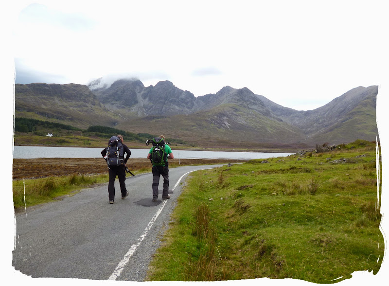
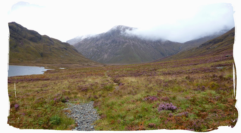
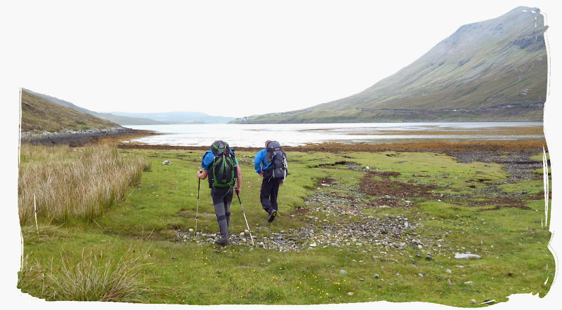
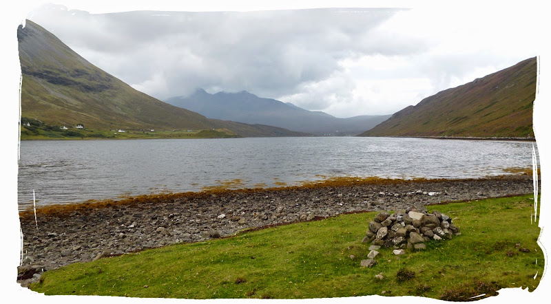
An hour or so passed and with no phone signal I had no way of contacting them, I also had no idea if they were even coming back!! It was likely they had gone to the Boozer, so I began to walk around the loch, all on my lonesome once again. It wasn't long though before I spotted two figures with big packs on the other side of the loch. I sat down and waited for them before ascending into the forest, leaving Loch Slapin behind, setting off on the next 10 mile stretch to Elgol.

the head of Loch Slapin
looking back down on Loch Slapin
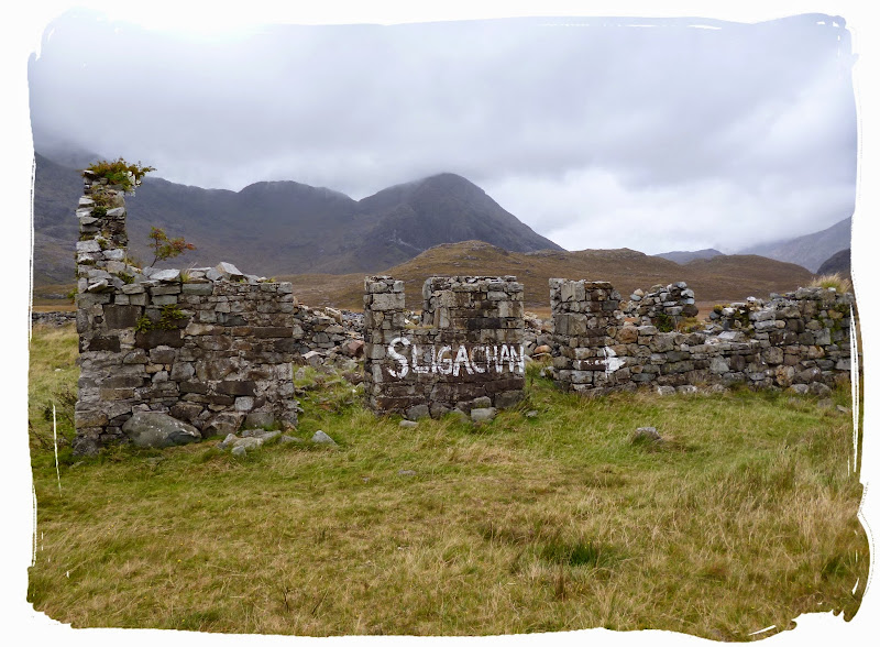
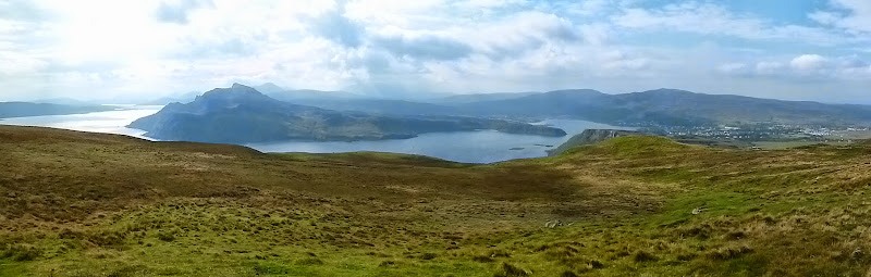
We soon found ourselves back on the coastline for some miles, passing more ruins before heading inland, to follow a minor road which eventually ascended into Elgol.

pondering along the coast

staring a Bull out - hardcore we are
first views of Elgol
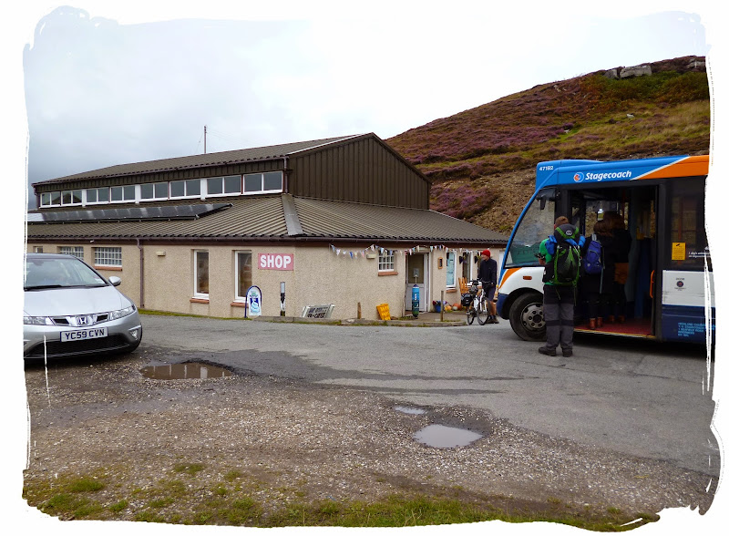
We soon arrived at Elgol in dry conditions and with plenty of time to spare. Pete hopped on the Bus back to Broadford again, this time for a carry out of the finest Beers, while myself and Mel waited about Elgol community hall, making the place look untidy.
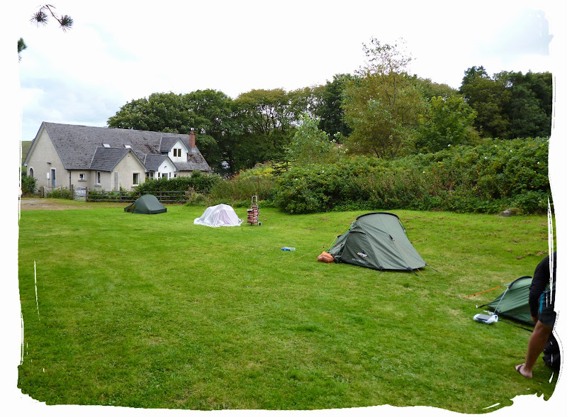
We waited for Pete's return for about 2 hours (he probably went to the pub) before finally pitching up on the grassy valley down from the community hall. We were accommpanied by another 2 happy campers, a young couple who also seemed to be walking the Skye Trail, or some of it.
pitched up at Elgol
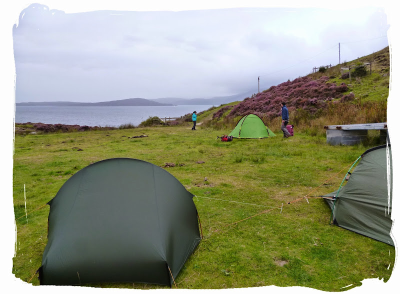
more happy campers
happiest campers!
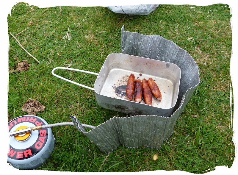
We cooked up some delicacies with our portable camping stoves and washed em down with some Lager, before taking a stroll down to the Harbour to see what was going down.
posh grub

down to Elgol Harbour
There wasn't an awful lot happening, Just a few fishermen overworking themselves and some staff working late at the Boat Tours Office, had a chat to them and a look around their gift shop.
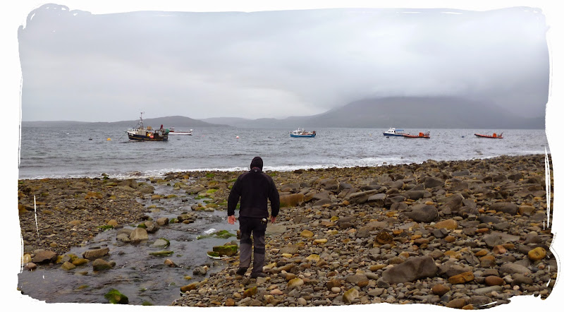

boat trips
We headed back up to our base camp and enjoyed a few more Beers by the river, until dusk (myself: a few Southern Comforts, slightly past dusk).
It was a peaceful night by the Harbour... and woke up to barely a hangover.
DAY 4 - ELGOL TO SLIGACHAN (11.25 MILES)
Fresh as a daisy with barely a hangover, we once again re-packed the bags ready for the long day ahead.
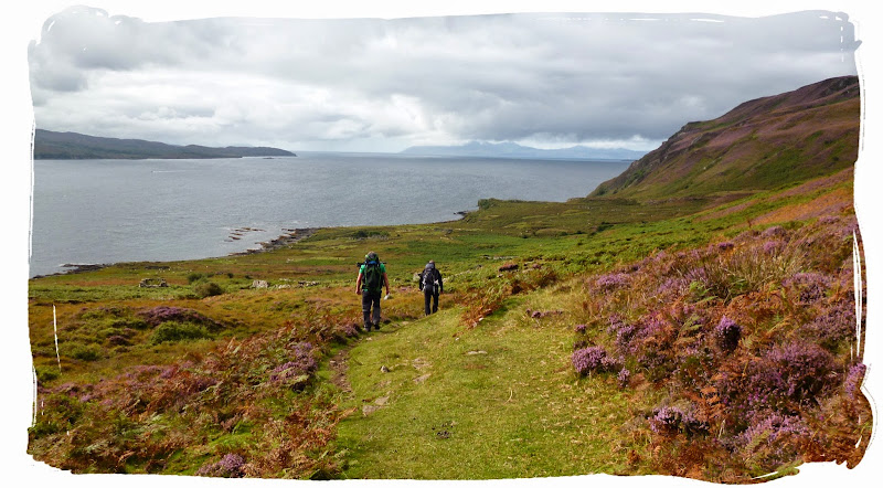
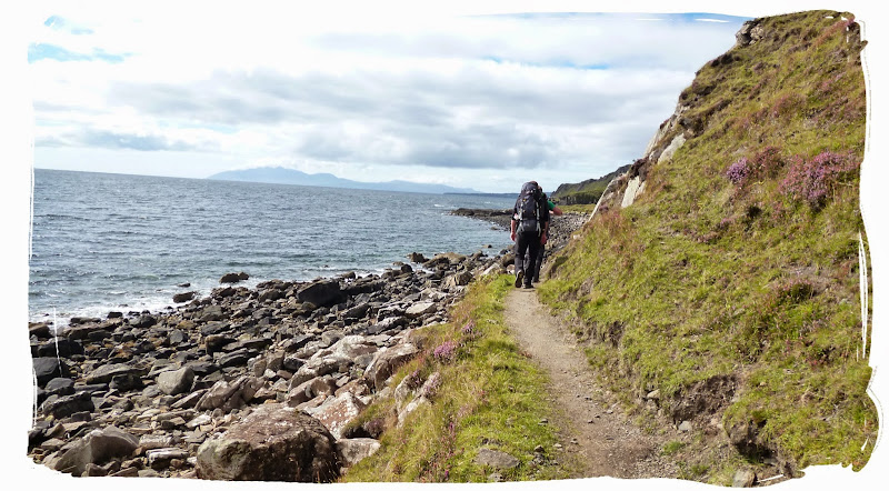
There were some light showers as we left Elgol, which stuck around for most of the day as we walked along some steep coastal cliffs to arrive at Camasunary Bay.

goodbye Elgol - may we meet again some day
we were not the only ones enjoying the views
onwards and upwards to Sligachan

It's a steep drop - don't look down
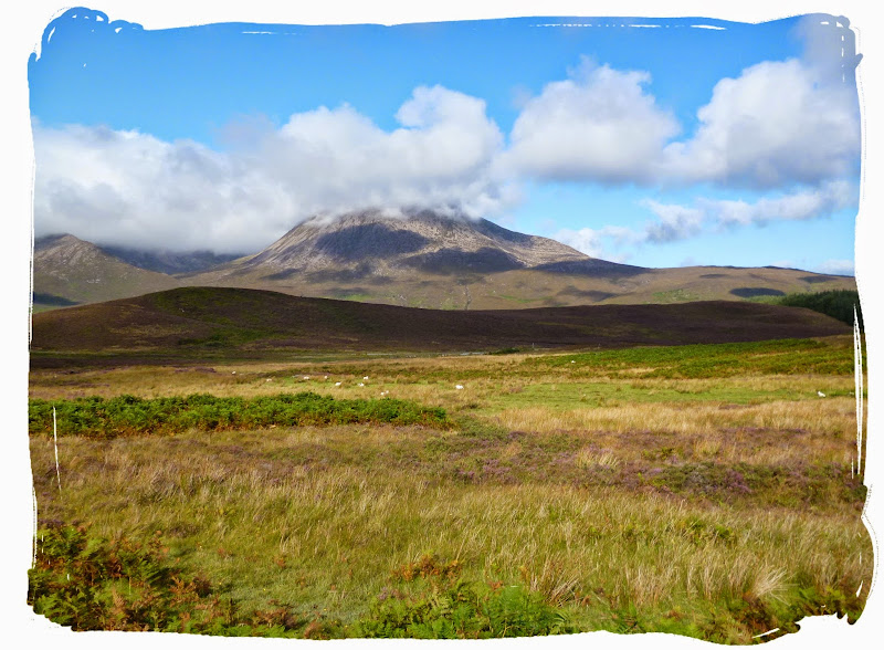
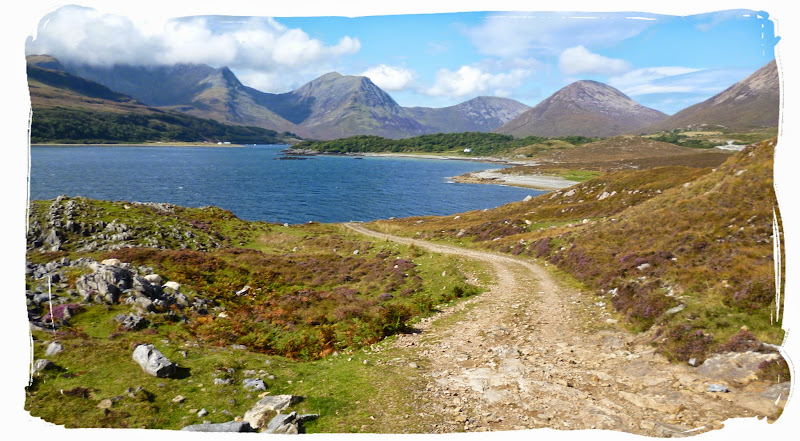
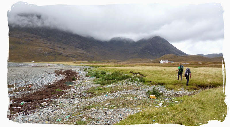
We stopped halfway at Camasunary Bay and had lunch by the old ruined house as the rain got heavier (typical!). There is actually a bothy situated nearby where we could have sheltered but unfortunately we didn't realise at the time. We continued walking, heading into the mountains and passing Loch na Creitheach, Loch an Athain and the jagged Black Cuillin to eventually arrive at Sligachan. A beautiful place to camp.
Camasunary Bay
the way to Sligachan - no getting lost here
carrying on into the mountains
reaching some sort of civilisation
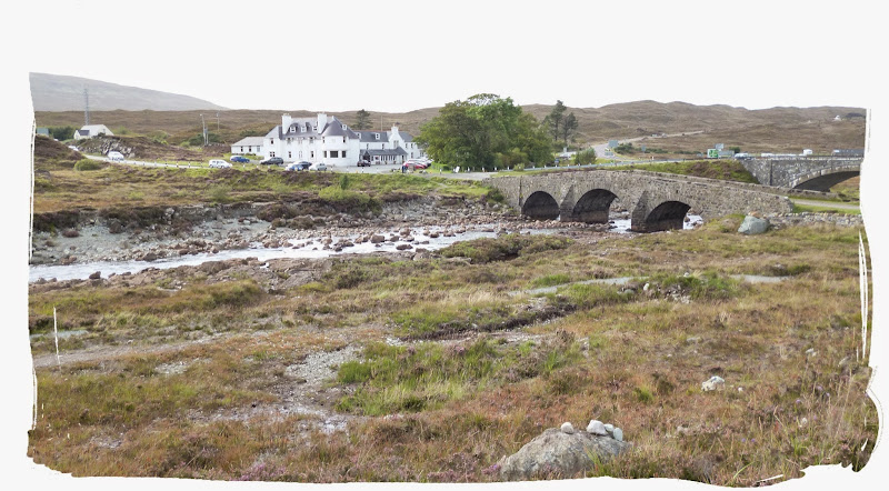
Upon approaching Sligachan we were bombarded by Midges, a nightmare from Hell. We found refuge in the Seamus Bar where a cold Beer embraced us for the next challenge of pitching the tents amongst our Midgy friends.
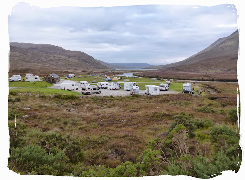
Sligachan Campsite
So we got the tents put up again with no mercy from the midges and paid our £6.00 toll for the experience of it all before wandering back over to the Seamus Bar for a well earned meal. The meal that never was as it ended up another boozy night after meeting some lovely ladies, Jessica and Astrid from Switzerland who were on a road trip in Scotland. Jägermeister's all round, thanks Jess.
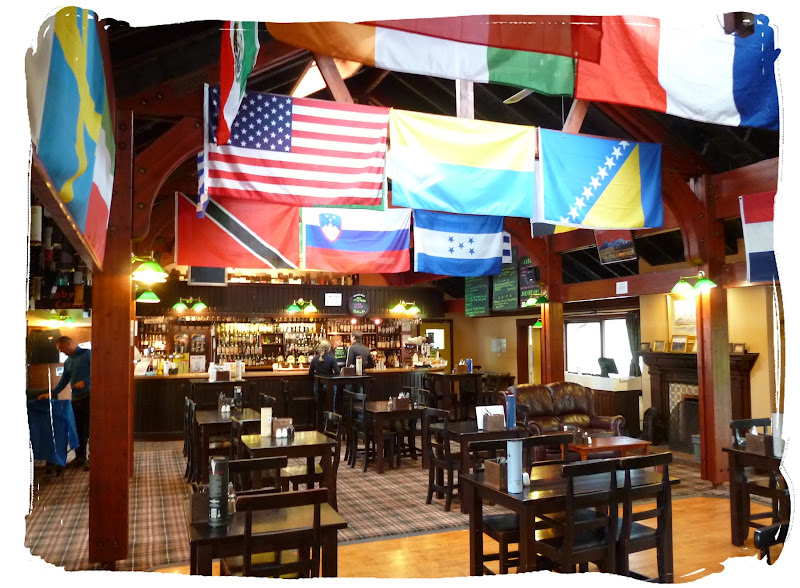
Seamus's Bar by Sligachan Hotel
That brought Day 4 to a close as we staggered back to the campsite, being careful not to trip on guylines or be eaten by wolves.
DAY 5 - SLIGACHAN TO PORTREE (11 MILES)
Day 5 dawned and after a delicious breakfast roll from Seamus's Bar it was once again time to make tracks.
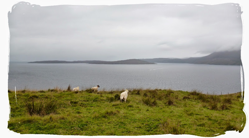
We bid our farewells to Sligachan by dragging our feet along the boggy shores of Loch Sligachan, (after Melvyn found his sock) to make our way to the capital of the island, Portree.

getting there
Much of this day was spent following a minor road for some miles to eventually reach the outskirts of Portree where we then trekked along the rocky shores to finally enter Portree.

climbing along the rocks to Portree
Upon reaching Portree the Number one priority was of course to find the nearest Boozer, the Royal Hotel seemed as good a place as any. Then we had a stroll around Portree, taking in the sights and smells before enjoying a much required caloriffic portion of Fish and Chips by the harbour, probably a tradition in Portree.
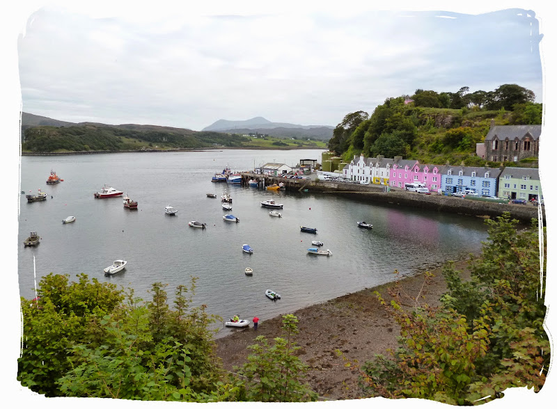
looking down on Portree harbour
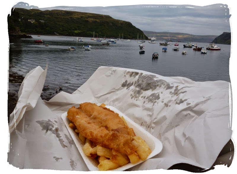
fish & chips by Portree harbour
Then it was back to the Royal Hotel for another refreshment before tent pitching time (after a quick visit to the Co-op for some Beers).
There is no campsite in Portree, but we did manage to stumble upon an alternative 'pitch' !
Our pitch for the night
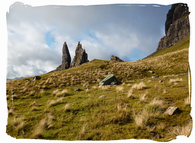
DAY 6 - PORTREE TO THE STORR (8.75 MILES)
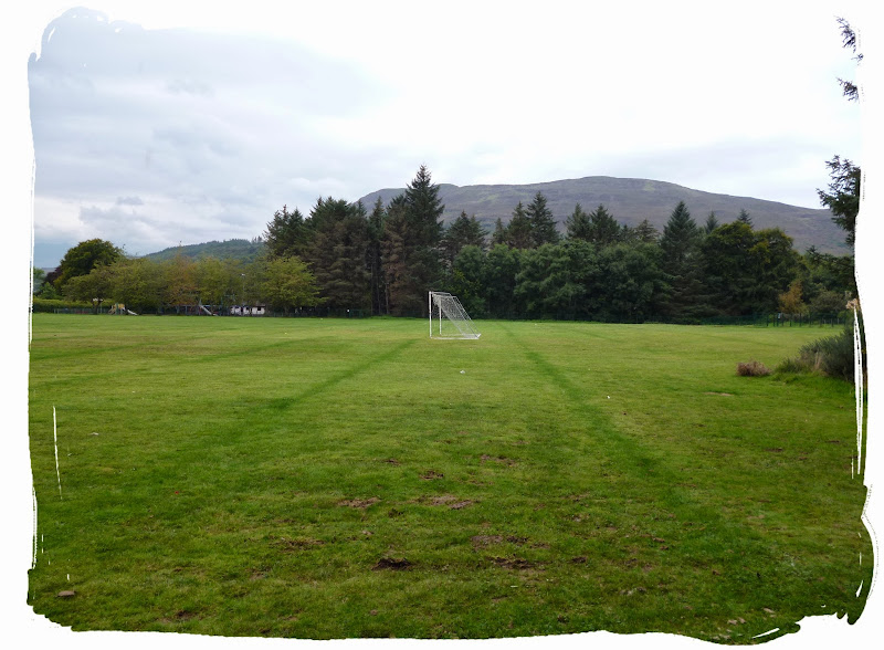
Up at the crack of dawn again (almost) and before the school footy team arrived, we head back into the town centre for supplies from the Co-Op before heading off towards our next destination, The old man of Storr.
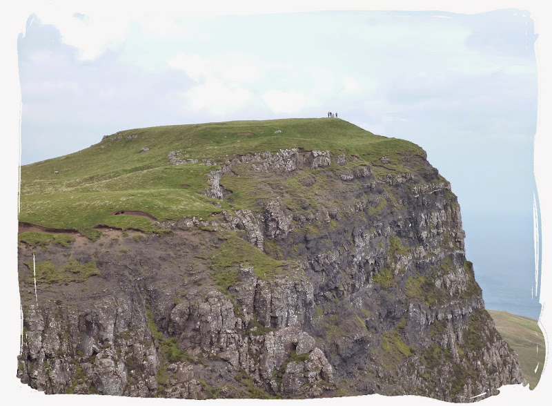
It would be another day of coastal walking until we approached The Storr (an iconic rocky hill), although there is an alternative route we could have taken which would have avoided the coast.

looking back on Portree

high up on the cliffs
The weather turned out grand, I think possibly our warmest day. There was only 7 miles to cover between Portree and The Storr, so the plan was to continue for another few miles past the storr until we got tired and probably wild camp somewhere along the Trotternish Ridge. (things never do go quite to plan though!)
turned out to be a grand day
panoramic view looking back

a day of fantastic views
giving Kevin and his buddies a wave

making our way along the coast, plenty of hills today, not my favourite form of terrain
We stopped somewhere along the top of the cliffs for a quick bite to eat for lunch. The nice weather wasn't to last long (does it ever) as we left the coast and crossed the loch outflow to arrive at The Storr carpark, where we ascended into the mist to reach the top of the Storr.
There were a few others plodding about up there including a production team with a group of actors who were apparently producing a tv advert with a Julia Roberts lookalike.
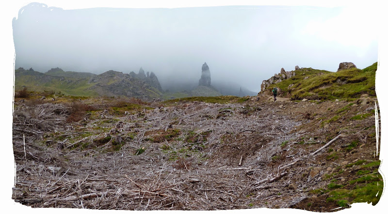
eerie views of The Storr through the mist with the vandalised forest below

panoramic view at the old man of storr

ascending past The Storr in the mist, with a random production teams shelter in the background
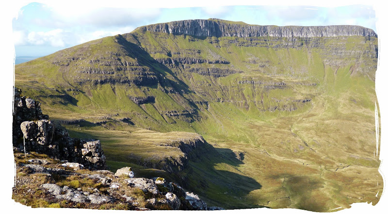
After a lengthly hike and god knows how many calories burned we continued on for a couple more miles around the back of the Storr towards the Trotternish ridge where the Skye Trail would continue towards Flodigarry.
As we continued along 'a' corroded path it became very steep and dangerous, with mist all around us and the fact that none of us were even sure if we were following the correct route, I wasn't going any further. I went back to wild camp at the storr and left the others to it. It was time to retire, I would try again in the morning.
DAY 7 - THE STORR TO FLODIGARRY (17 MILES ... ON THE BUS!)
Under normal circumstances this would be the longest day on Skye Trail, an epic walk on the Trotternish Ridge from The Storr to Flodigarry with amazing views throughout but unfortunately it just wasn't meant to be.
I woke up to a clear sunny morning at the Storr, all ready and raring to go, determined to find the start of this ridge walk.

a fine summers morning at the storr

panoramic view
I once again followed the path, around the back of the storr for a couple of miles to the point where I'd left Pete and Mel previously, while continuously checking the compass to confirm I was on the correct route according to the Harvey map. It looked like I was on the right path but although I tried and tried for about 4 hours to find a safe path onto the ridge it just wasn't happening.

trying to find a safe way onto the ridge

looking towards Flodigary - end of the line for me
I eventually gave up, and head back to the storr once again, this time all the way back to the car park on time to catch the school bus to Flodigarry. Big fail of a day but it is the experience that counts.
I made it to Flodigarry in plenty of time to chill out at the Youth Hostel for the rest of the evening.
As I arrived I was reunited with the other guys as they were pitching up the tents. I asked them about the ridge but they had also failed to find the route, and had climbed down into the valley below and made their way back to the coast. They had then spent their day walking to Flodigarry via the roadside.
pitching up at Flodigarry Youth Hostel
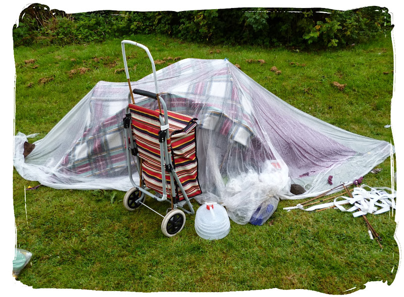
some guys effort at a home made tent, which he transports in a shopping basket - NUTTER!!
Once again we got severely attacked by midges as we pitched up in the hostel grounds. Then we cleaned ourselves up before taking a stroll down to the High Tide Restaurant at the Flodigarry Hotel for food and refreshments. The remainder of the evening was spent in the hostel lounge socialising with randoms we met at the hostel before sneaking back out into the cold for a peaceful night at home with nature.
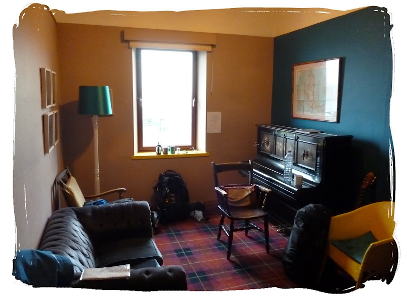
the lounge
DAY 8 - FLODIGARRY TO RUBHA HUNISH (7 MILES)
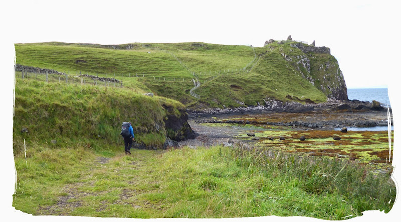
The weather had turned sour overnight setting us up for a muddy day ahead. We left a little later than planned waiting for the rain to calm down before setting off on our last 7 miles of the trail to Rubha Hunish.

leaving the youth hostel
onwards and upwards
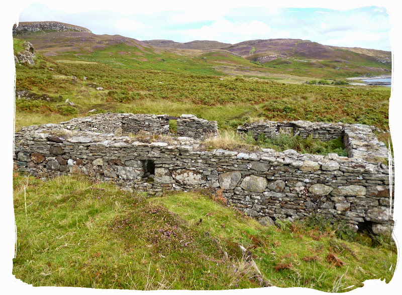
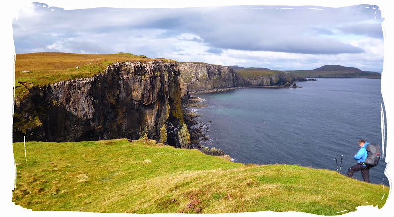
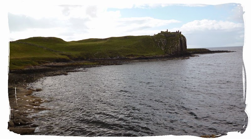
It was pretty much another day of coastal walking, except for a small section of the walk which detoured through a farm, passing more old ruins. The weather improved as we approached Rubha Hunish, where we stopped for lunch at the Lookout Bothy high in the Skye!
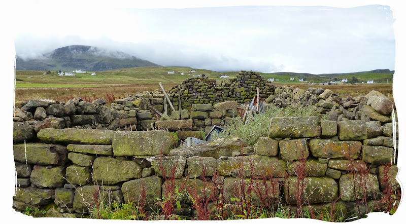

more ruins
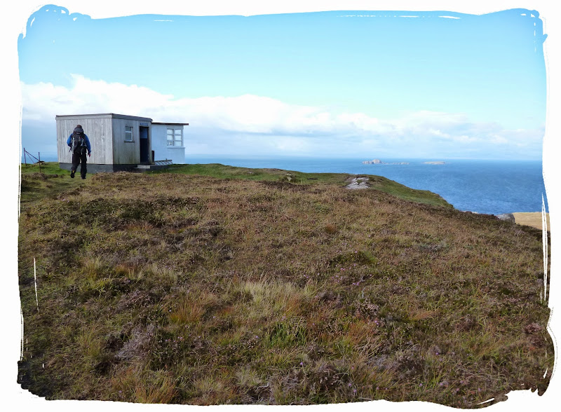
approaching the Lookout bothy
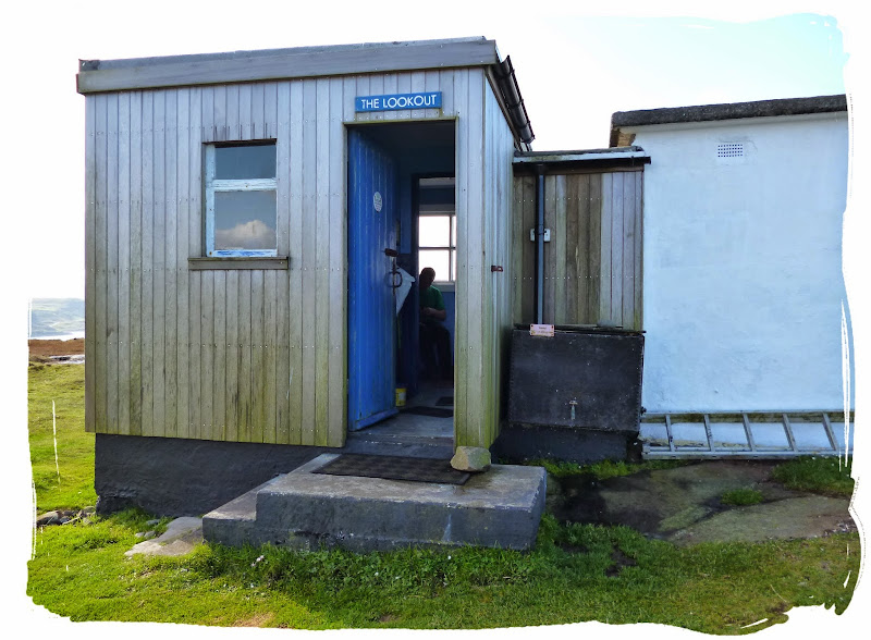
arriving at The Lookout, overlooking Rubha Hunish

Rubha Hunish from the Lookout bothy
We decided not to go all the way down to Rubha Hunish, which I regret. I would have been quite happy to have wild camped on Rubha and had a small fire going but certain others were eager to get back to civilisation (and the pub) in Broadford. I wasn't really in the mood for a night alone on a deserted island at this point so I head back with them.
We continued along the coast to reach Duntulm where these is an abandoned hotel and an old ruined castle... oh, and a post box!
Duntulm Castle
couldn't pass a castle without a quick visit


leaving Duntulm
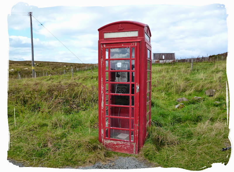
E.T. phone home
From Duntulm we wandered along the road until we reached an old telephone box where we flagged down the open top tour bus which got us safely back to Portree, passing through Uig. We then caught a second bus from Portree which got us back to Broadford at a decent time for the pub.
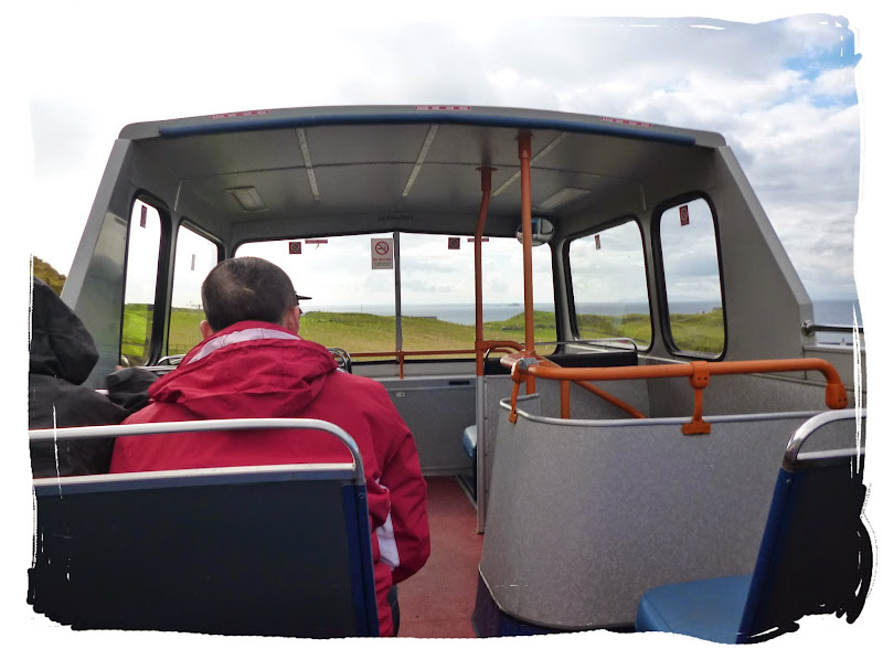
the unplanned open top bus tour
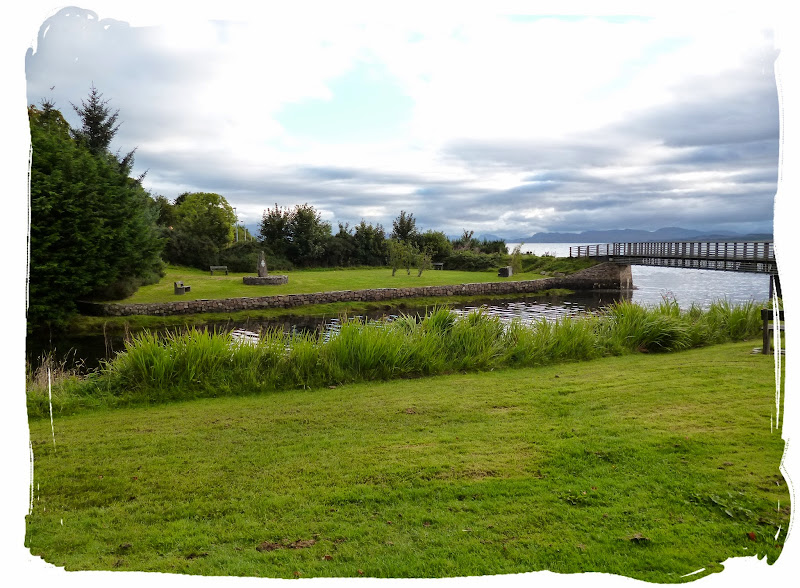
We spent one more night in Broadford before heading home early on day 10 (Sunday), we found the grassy banking on the opposite side of the river in Broadford was a perfect location for easy access to all amenities for our last two nights in Skye.
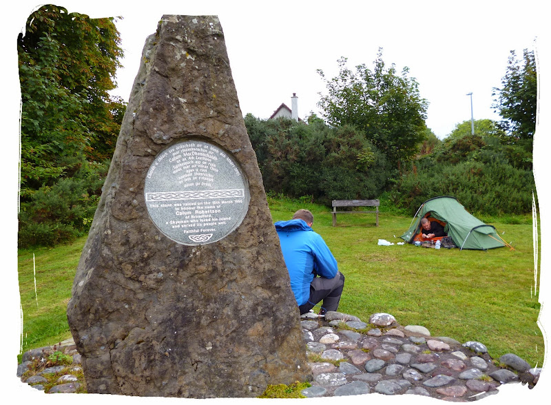
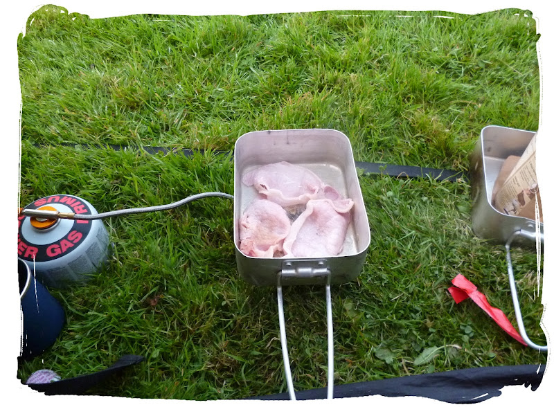
breakfast by the river
I plod on back to Kyle of Lochalsh by foot (only another 9 miles) to return to Aberdeen via Inverness.
crossing the bridge back to the mainland - until the next time
... and that concludes my report on Skye Trail, I hope you have enjoyed it.
Please now proceed to the gallery:
https://get.google.com/albumarchive/100408387173570597610/album/AF1QipOTteRgDbSua4v_FCK93zniTBuhMJtZG-QK9K5n