free to be able to rate and comment on reports (as well as access 1:25000 mapping).
I have had a desire to walk the Southern upland way ever since I saw it marked across OS maps, I completed the Pennine way a couple of years ago and this was the next target.
We planned to walk it from two bases one at Glen Trool campsite at Bargrennan where we rented a Static caravan and from a self catering cottage near Melrose, from these bases my wife would act as support and drop me off each morning and collect me at the end of each days walking to return to the bases, This led to some long days of driving especially in the first week returning from Sanqher and Beattock but meant we didn't have to pack up each night and move location to a different B&B
For a guide book, I was following the Cicerone guide for the Southern upland way.
I completed the walk in 13 days without a day off.
I was blessed with excellent weather only having rain on 3 of the 13 days.
Day One - Portpatrick to New Luce - SaturdayWe left the North west of England on the Friday night following work and stayed the night in a Travelodge in Dumfries before heading down to Portpatrick for an early start,
Parked up in the harbor, took the photo of the harbour and of me at the start and then up the concrete steps onto the cliff path, Cath had decided to walk with me for the first few miles and loop back to Portpatrick before heading off to get the shopping for the week and meet me at Castle Kennedy at the end of day one.
 Bargee at the start in Portpatrick
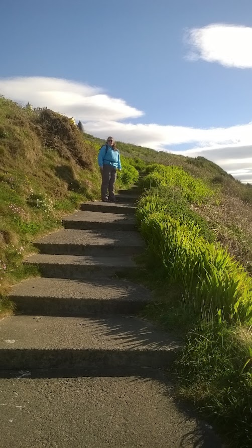 Climbing the steps away from the harbour
 Leaving Portpatrick.
the first 3 km is an excellent coast walk, dropping down to a lovely cove where I collected a stone to carry across the east coast.
By the caves we spotted a roe deer in the ferns above us, plus could see across the strait to Larne and watch the ferries as we walked along.
 High on the cliffs
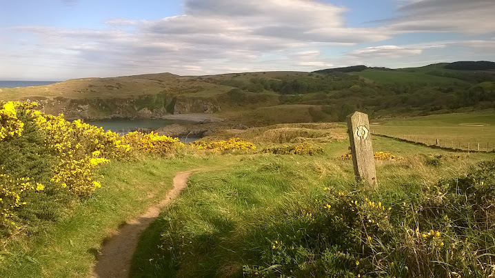 Descending to the cove at Dunskey
 Back down at sea level at Dunskey cove
A steep stepped climb up the cliff face with a chain handrail followed and then it was an easy walk along to the lighthouse and where we turned inland up the lighthouse access road, along this stretch we met several people, including a couple who were just completing the SUW from east to west in aid of Blood bikes,
 the steep steps up the cliff from Dunskey cove
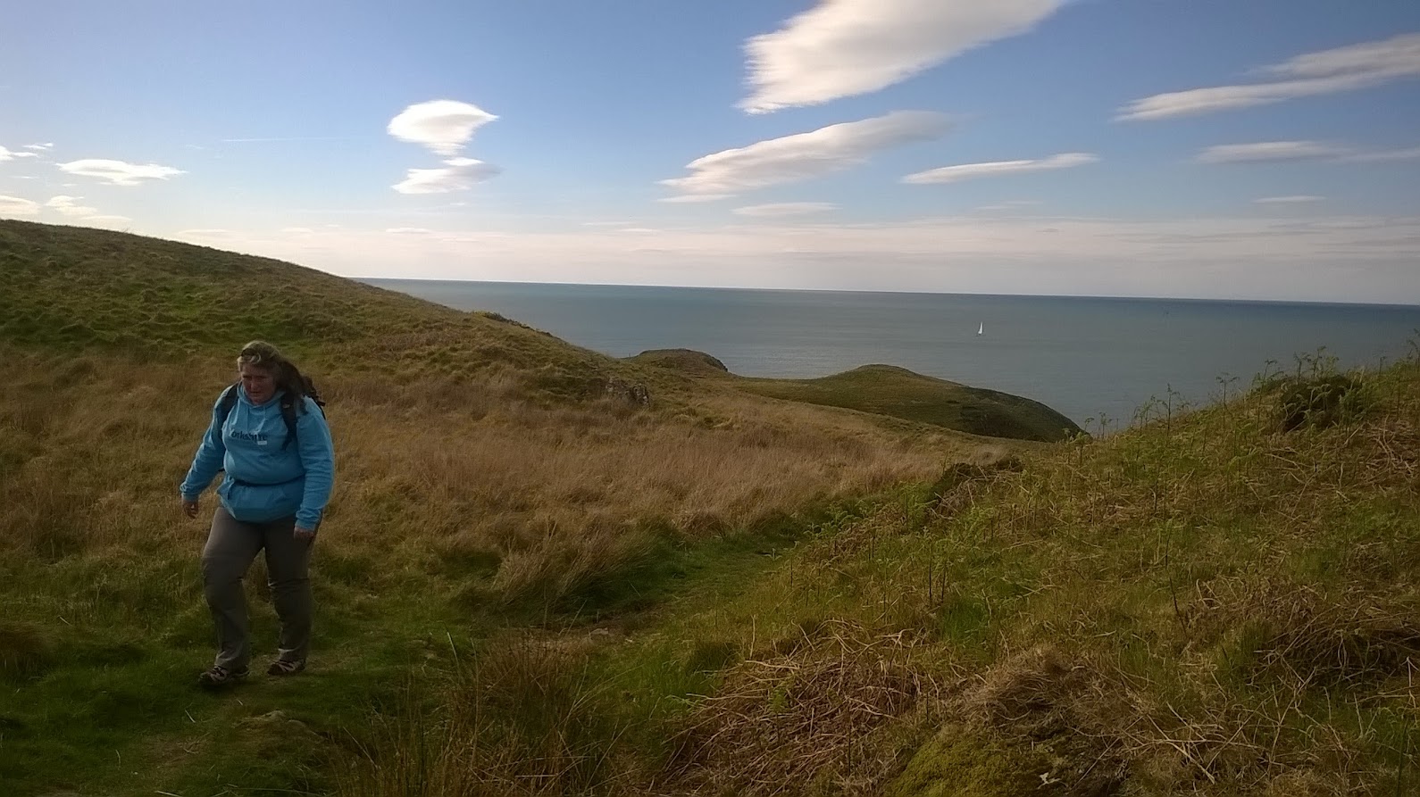 along the top towards the lighthouse, the North Channel is like a millpond
 first view of the lighthouse
 The Kilantringan lighthouse where we turn inland
 What follows is just over 3 miles of road walking, a feature of day one where approx 8 miles of the 14 miles are on tarmac. The climb up the road away from the coast was steep but the views back over the sea to Northern Ireland were superb. We saw a few hares in the fields and chased one up the lane, also a Buzzard and Heron.
 Looking back across the North channel to Northern Ireland
I deviated off the road to nip up and grab the trig point on Kilantringan Fell, leaving Cath waiting for me, a short climb only .2 miles off the road and a good viewpoint.
 View across the North channel to Northern Ireland
Returning to the road we soon arrived at the B738 where Cath left me to walk back to Portpatrick via Dunskey castle and I headed left and increased my pace along the road heading for the cairn on Mulloch hill.
 turning away from the sea and heading inland and the first of many wind farms i would see over the next 2 weeks walking ( I dont mind them, better than burning coal)
 onto the B road I headed Left, Cath headed right.
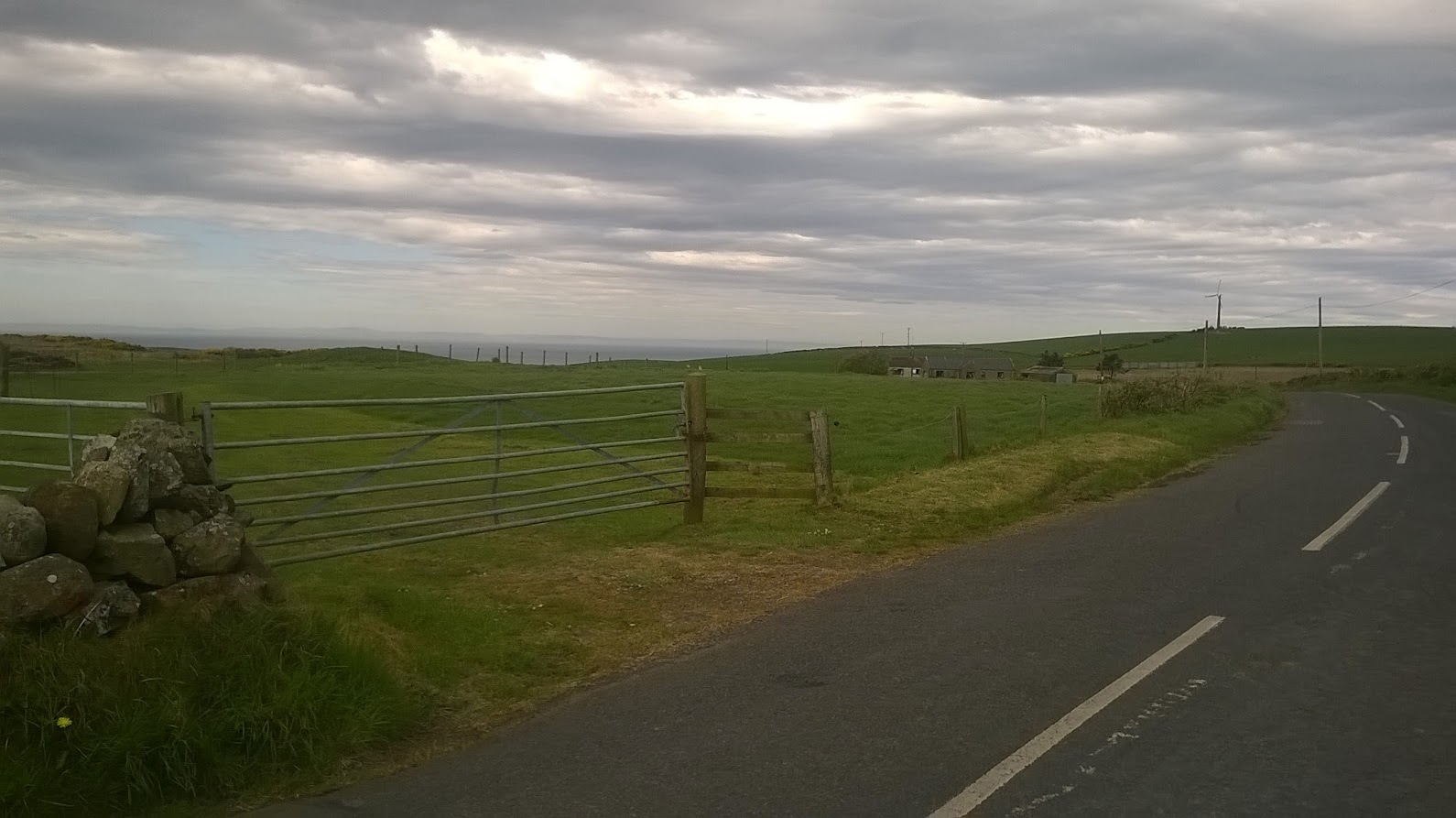 A 300m stretch on the very quiet B road then crested a rise and got a view north to the Mull of Kintyre at the point I turned off the the east on a minor road
 up this minor road
 spring flowers were blooming some campions and gorse and broom in flower
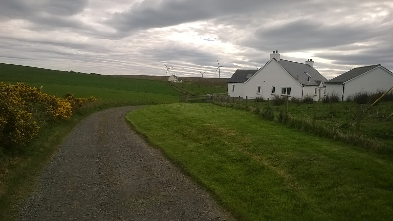 a mile or so of road walking then a turn off onto a track past these houses and climbing up onto Mulloch Hill.
 Top of Mulloch hill looking east with the Galloway hills on the horizon, I'll be there in 3 days time
From Mulloch hill there was the crossing of Broad moor alongside the knockquassan reservoir. the moor was very dry and would be a bit boggy after a wet spell, but is the only boggy section on the whole of the first day.
I missed the utrea marker for the Kist here though. Not good as I consider myself a relatively experienced geocacher, guess i was just enjoying the walk...

 Crossing Broad moor
 Knockquassen reservoir
After crossing the moor it was back onto a gravel track which turned into tarmac and then dropped to a small river then up to a view over Stranraer and Loch Ryan and the ferry port at Cairnryan.
 first view of Loch Ryan
 Some locals were interested in me
 The bridge by Greenfield farm that crosses the Pilltanton burn - a notice board here explains work being done to improve the river habitat for the fish
Up onto a 1km long straight road above Stranraer and great views Loch Ryan, A ferry was in the terminal and in the far distance the lump of Ailsa craig.
 this track makes a cut through down towards the A77
The way drops off the Rhins of Galloway, and drops down to cross the low ground that separates Loch Ryan from Luce bay, there is also an old railway line to cross that used to run to Portpatrick, a quick crossing of the A77 then farm tracks and minor roads all the way across to Castle Kennedy crossing the remaining Stranraer to Ayr railway line on the way.
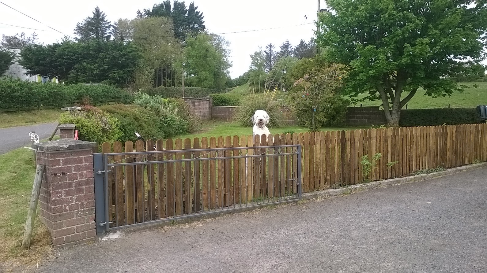 A friendly old english sheepdog just after you pass through the old embankment of the Portaptrick rail line, if you pass this way make sure you say hello to him
 across the A 77 then up this track
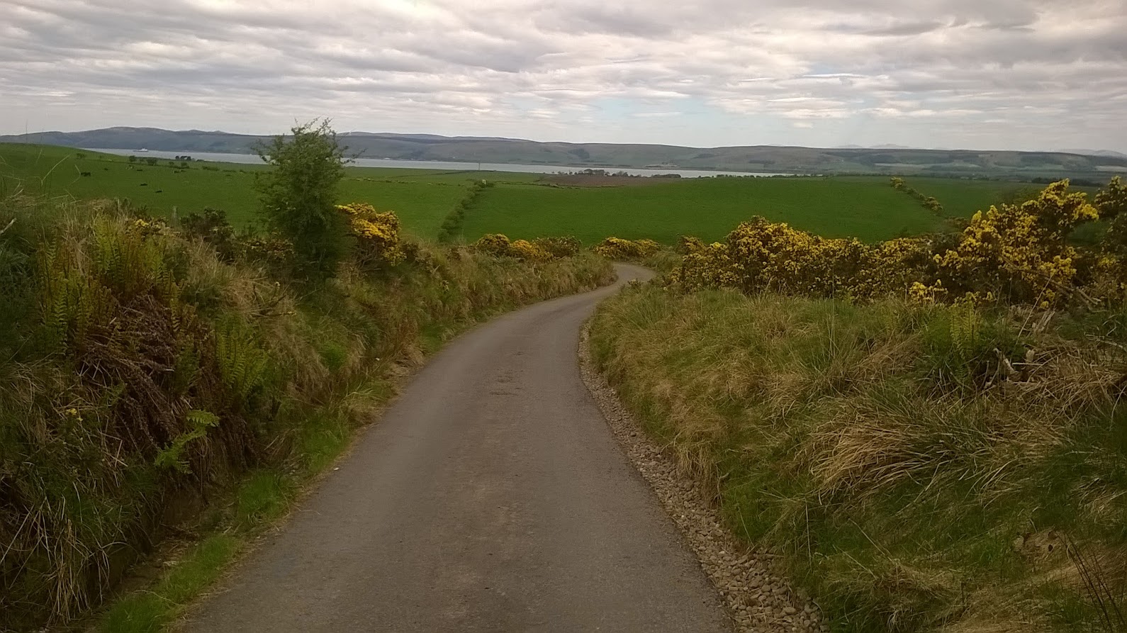
  Minor road walking
 black lambs
  looking back across to the Rhins, the windfarm on the right is on broad moor
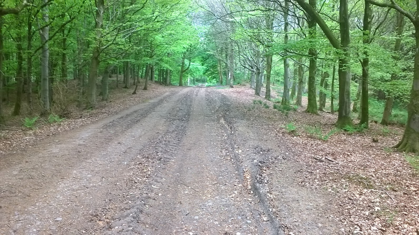 The next section passes through some excellent broadleaf woodland that was awash with bluebells, even though further south in west yorkshire the bluebells had been and gone
 Passing under the Stranaer - Ayr rail line
  After crossing the rail line the way turns left and joins the old military road that leads straight to the A75 at Castle Kennedy and the welcome sight of Cath sitting in the car waiting for me
In all I found the first day tiring, we had an early start and I didn't sleep well. and with all the tarmac walking i was sore at the end even though it was only 14 miles. It didn't bode well for the longer stages...
Iain the bargee
