free to be able to rate and comment on reports (as well as access 1:25000 mapping).
Day 2, and after a good nights sleep we returned in the morning sunshine to Castle Kennedy to walk the next stage, a simple 9 mile walk into the hills. The day was hot, Car temp gauge said it was 20 degrees at 9am as we left our base at Bargrennan
We had decided to drive into Castle Kennedy and start the day there, I know this missed out the walk down the drive but we were planning a little detour to grab a cache on the other side of the Loch.
So i was loaded up with plenty of water and expected an easy day climbing up into the low hills.
Starting at the car park by the ruins of Castle Kennedy we headed back out to cross the channel that links the two lochs, the grounds here are superbly landscaped combining the lochs and formal gardens, but I left Cath to enjoy them as I headed out to climb up into the hills and meet my first of many forest plantations.
 Castle Kennedy car park
 The bridge over the channel that links the two lochs, and the drive into the castle grounds
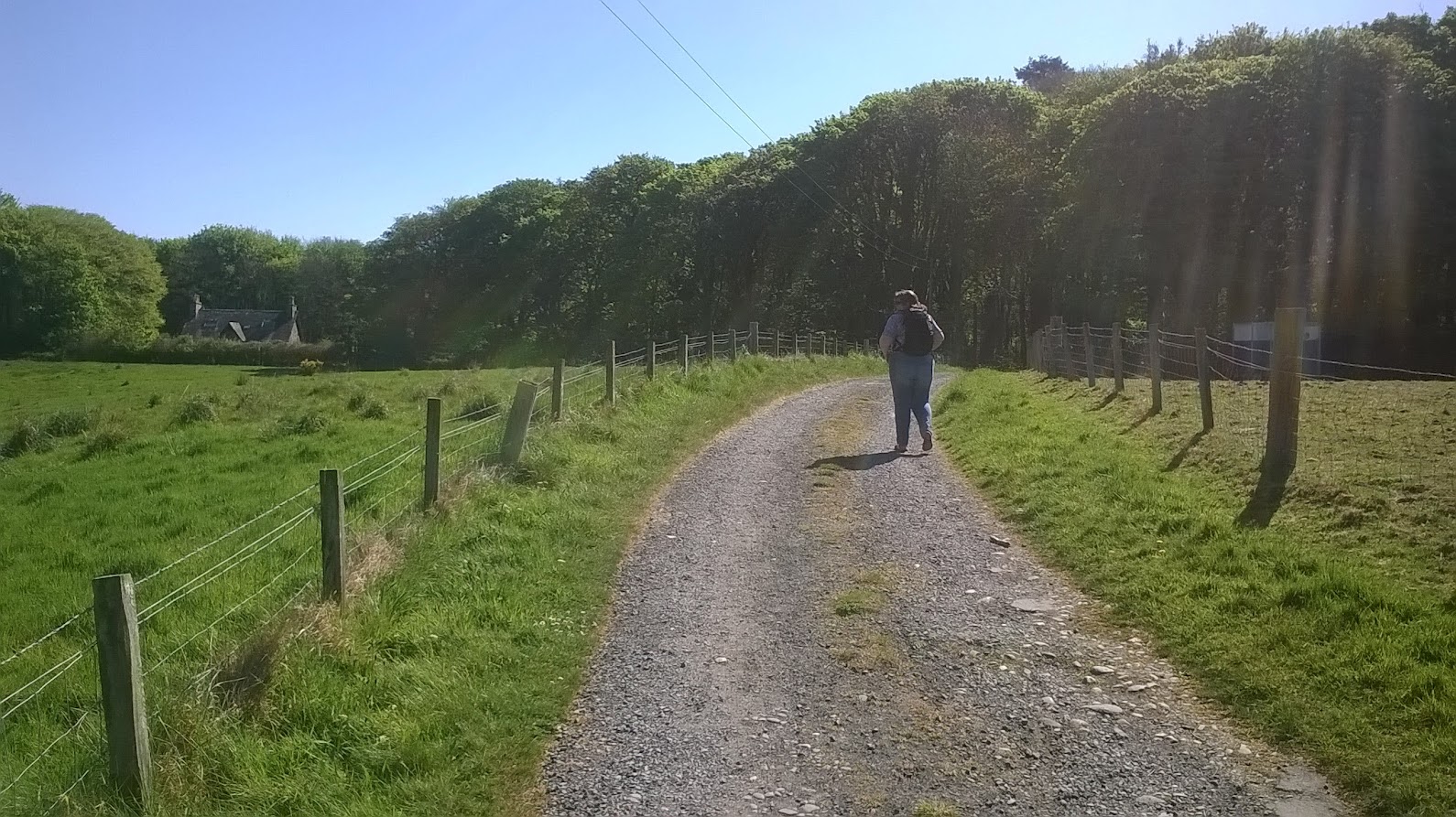 Cath and I headed off together round the black loch to find a cache
 After leaving Cath by the Lochside I headed up to the New Luce road and followed it
 lovely views across the valley bottom
 Turning off the New Luce road, I'll meet it again further up the hill
  the way leads up a pleasant hedged farm track past the cottages and farm at Cheincy
 The track then climbs up into the higher pastures and works its way through large patches of gorse to come out into the fields, again the I expect unusual dry weather meant that the potentially muddy way through the gorse was bone dry, but crossing the fields was horrible as there had been cattle and the dry ground meant there were many holes in the grass making for a potentially ankle breaking walk.
 looking back
  rejoining the New Luce road, i'm heading for the forest plantation on the right
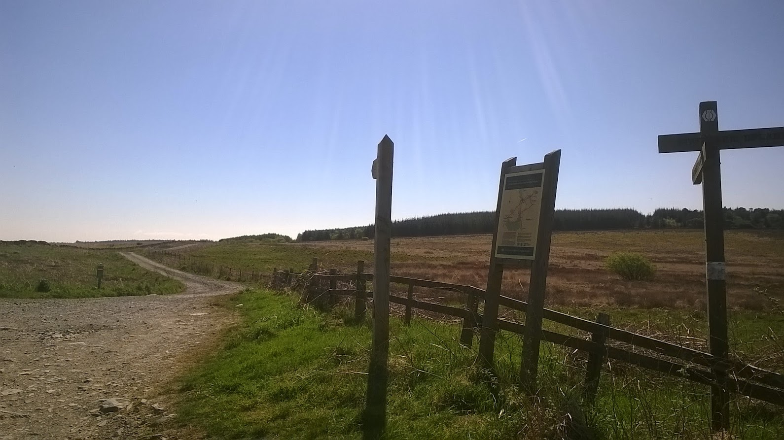
 Rejoining the New Luce road, a short rise to then turn off on a forestry track to a large plantation then turned off onto an engineered path that follows the edge of the plantation, just inside the boundary wall. The Majority of the trees have been felled and it is regenerating with rowan, Its an enjoyable walk across the moorland edge, before entering the forest and descending to cross the Stranraer - Ayr railway and the waters of Luce.
 leaving the New Luce road heading for the trees, a large raven was sitting on the nearby wall watching me pass
 turning off the forestry track onto the engineered path
 the path skirts the edge of a felled plantation and passes this lochan, marked on the OS maps as Glenwhan lochs
 the way enters the trees
 the path descends steeply down to cross this brook
 and ends up by the stranraer - Ayr railway I sat here and had my lunch amongst the bluebells and a train passed climbing up to the summit on its way to Ayr
 The railway bridge, there is a plaque on it states that it was put in place for the opening of the SUW in 1984
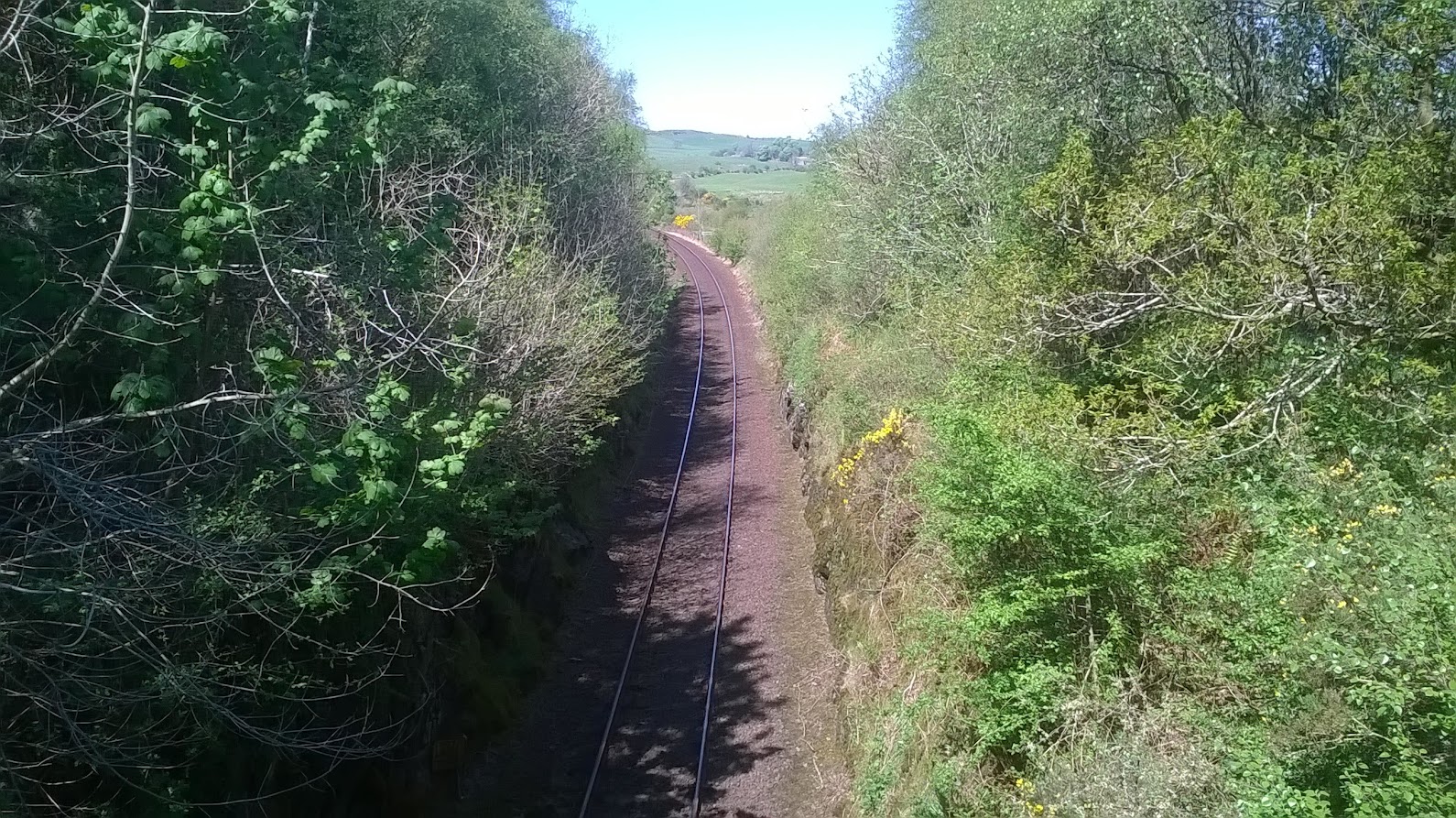 looking north up the single track
 from the railway the way decends to cross the waters of Luce over this grand footbridge
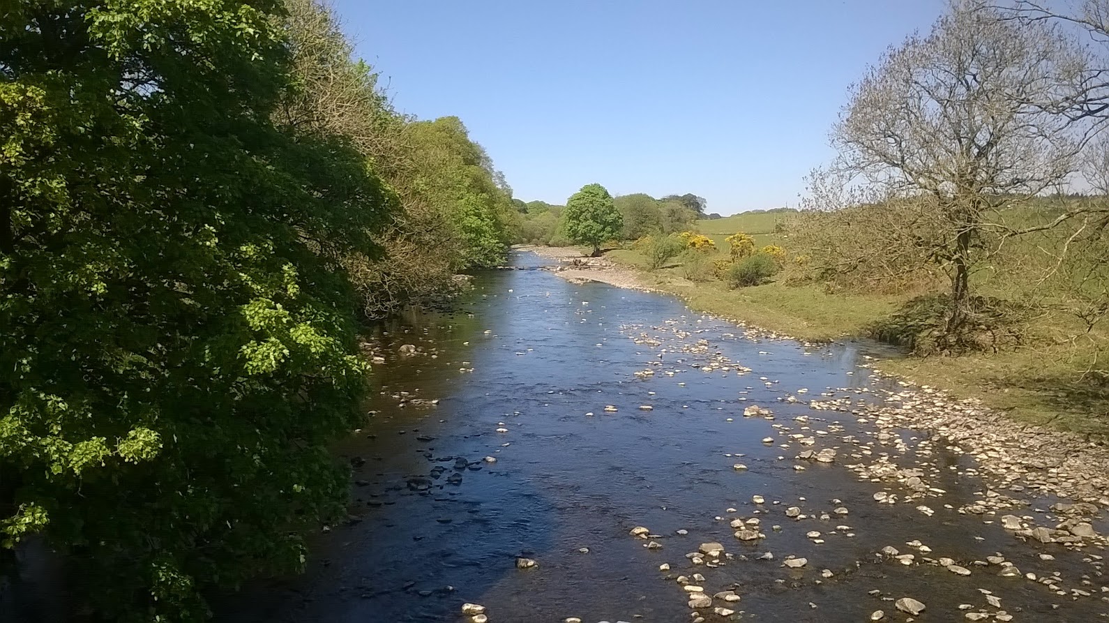 The water of Luce
 looking back to the crossing of the waters of Luce
From the crossing of the water of Luce the way rejoins a minor road before climbing up onto the moor and follow a straight causeway across the moor to a ruined farmhouse before coming out on a minor road near New Luce for the end of the satge
 turning off the road and heading up this track onto the moor
 To end up on this nearly two mile casueway across the moor
 To arrive at the ruined farmhouse of Kilhern
  a mile or so from Kilhern the way decends to a minor road where Cath is waiting for me
It was a hot day, glad I put plenty of sunscream on. but feeling better at the end today than yesterday.
iain the bargee
