free to be able to rate and comment on reports (as well as access 1:25000 mapping).
For many years I'd been wanting to do a long distance walk. A few years back I almost set off on the Great Glen Way, but something came up at the last moment, so that never happened.
However, early this year when planning to book annual leave from work, I found myself in the rare situation of having an extra week left. After carefully checking out the arrangements at home - childcare, my wife's generally hectic schedule etc. - I managed to find a suitable week in May. With a whopping eight days available to me I decided to go for the WHW.
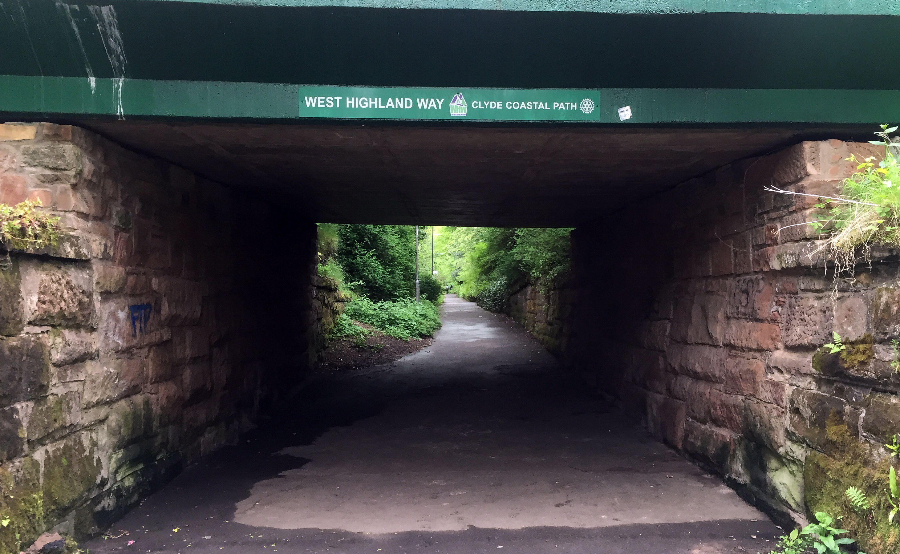
I read on this website it was possible to start in central Glasgow by tagging on the Kelvin Walkway to Milngavie, and since I had the time available, I decided to do just that, starting the adventure right from Queen Street station. It would serve as a warmup prior the main feature, plus it felt somehow more complete departing right from the city centre.
Carried everything with me, camping for all but a couple of nights. My pack contained around 15-17kg, which I had never carried over such a distance before, so wasn't entirely sure how I'd get on. I didn't pack much food as I knew there was plenty of places to get something to eat en route.
Day 1: Glasgow Queen Street Station to MilngavieDistance: 17km
Time: 4:40 (14:20-19:00)
Overnight: Premier Inn
Sunday morning. Caught the 11:02 train leaving from Inverurie to Glasgow Queen street, a useful direct service saving me lugging the rucksack between connecting trains in Aberdeen. Had lunch on the train and arrived into Glasgow bang on time. Time to get walking!
Faffed around for a little while outside the station getting my rucksack on comfortably before promptly setting off in the wrong direction

!! I probably should've spent longer getting my bearings, but fortunately noticed after only 100m or so

! It's a long time since I'd been in Glasgow city centre.
Got myself onto the ever busy Sauchiehall street and headed westwards towards Kelvingrove Park. It was a warm and sunny Sunday afternoon and, as expected, the park was pretty buzzing with families out for the day having picnics, joggers aplenty, kids learning to ride bikes and dogs taking their owners out for a walk. I cut my way through the hubbub, soon passing underneath the A82, a road I would often meet along the way (perhaps too often).
The path wound its way along the river and I found the walk pleasant going, I was not in any particular rush, and things were quieting down as I headed northwards away from the park. The weather made a sudden change with a very heavy rainshower starting at the best moment it could for me; just as I was passing under another bridge. I got kitted out in my waterproofs (the only time I was to need my waterproof trousers all week) and continued on my way. The rain only lasted around 30 mins or so, but I kept my waterproofs on the rest of the day as the path was a bit boggy in places.
Soon I was right out of town and passing through farmland, the path growing ever fainter and more overgrown. A much less used path than I expected: once past the university buildings I wasn't to meet a single soul until near Milngavie (very different from the days to follow on the WHW). There is one quite awkward little bridge over a stream/ditch which looks like it has partly collapsed, other than that it is quite easy going.
Arrived in Milngavie just before 7pm. I was booked into a hotel for this first night, so headed there, got some grub and a few beers and made the most of a comfortable bed for the evening. Although I really felt the weight of my bag towards the end of today, felt confident I would make it through the week.
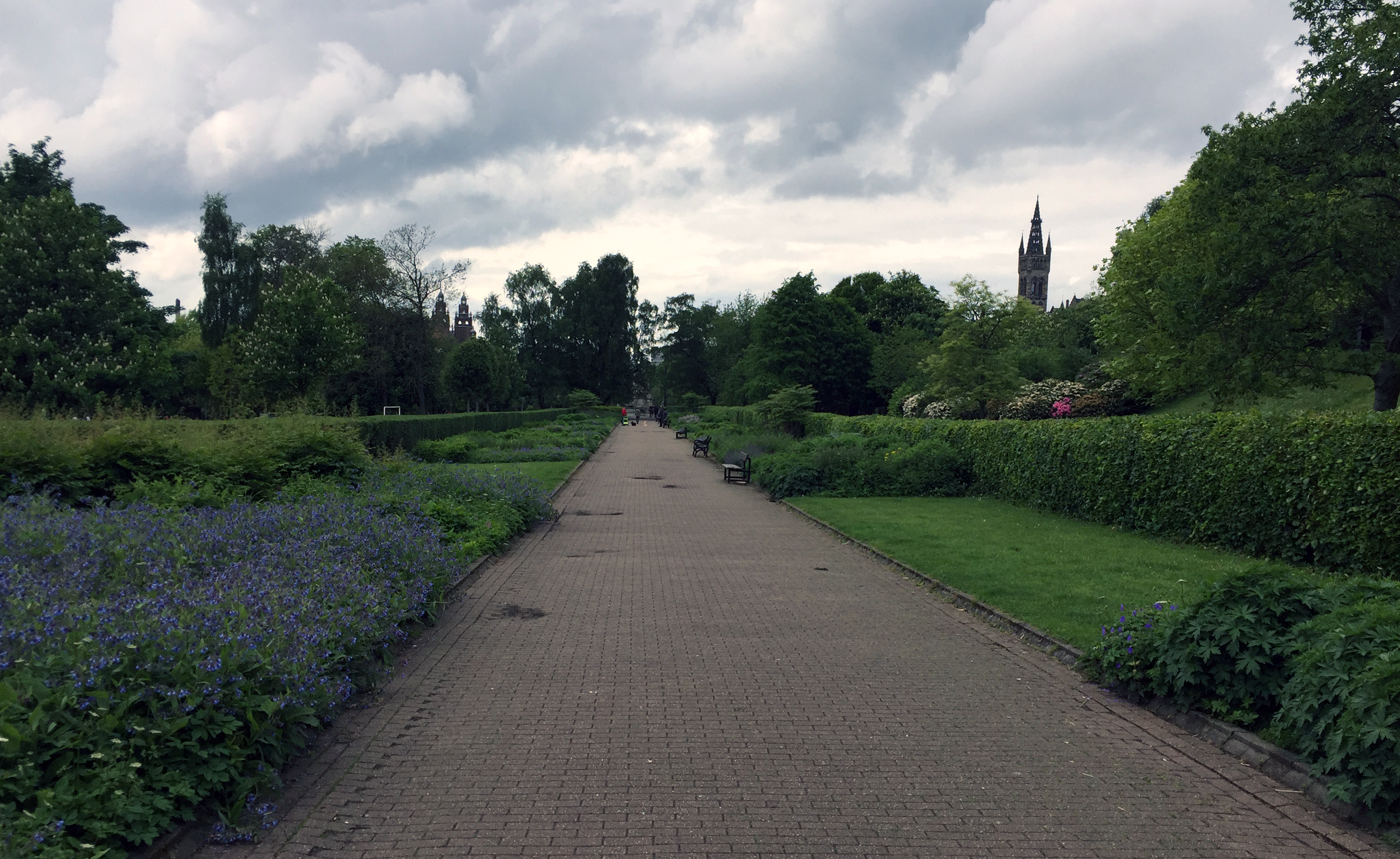 A quiet spot in Kelvingrove Park
 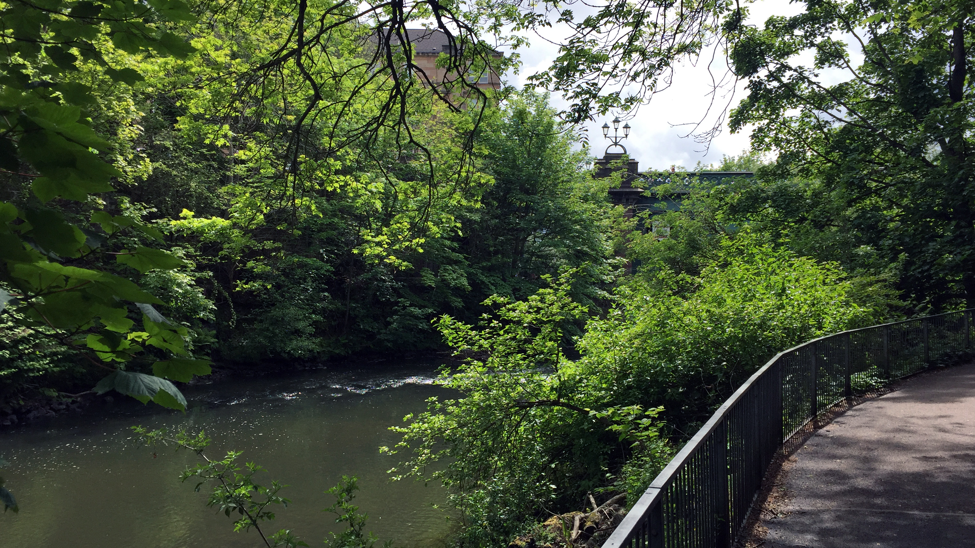 River Kelvin
 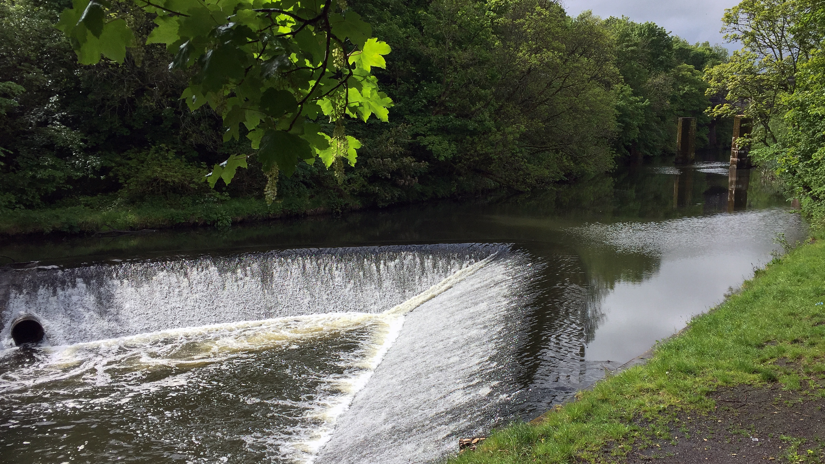 River Kelvin
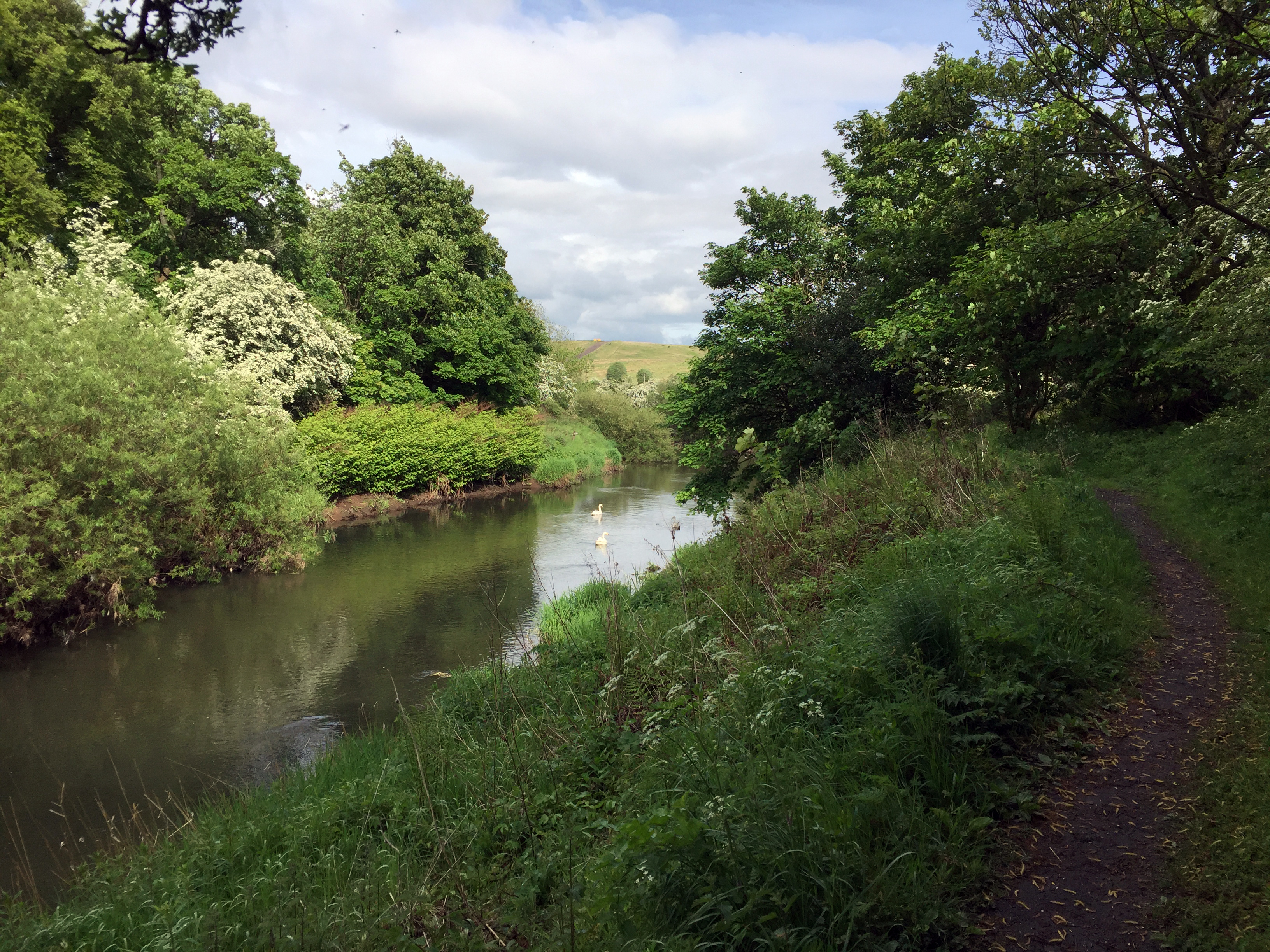 Swans on the Kelvin
 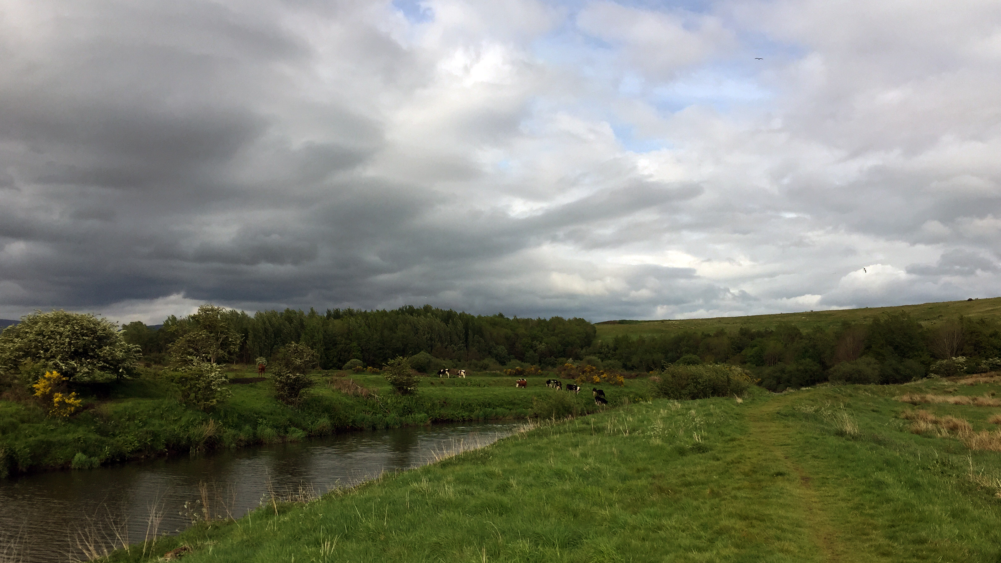 Cows by the Kelvin
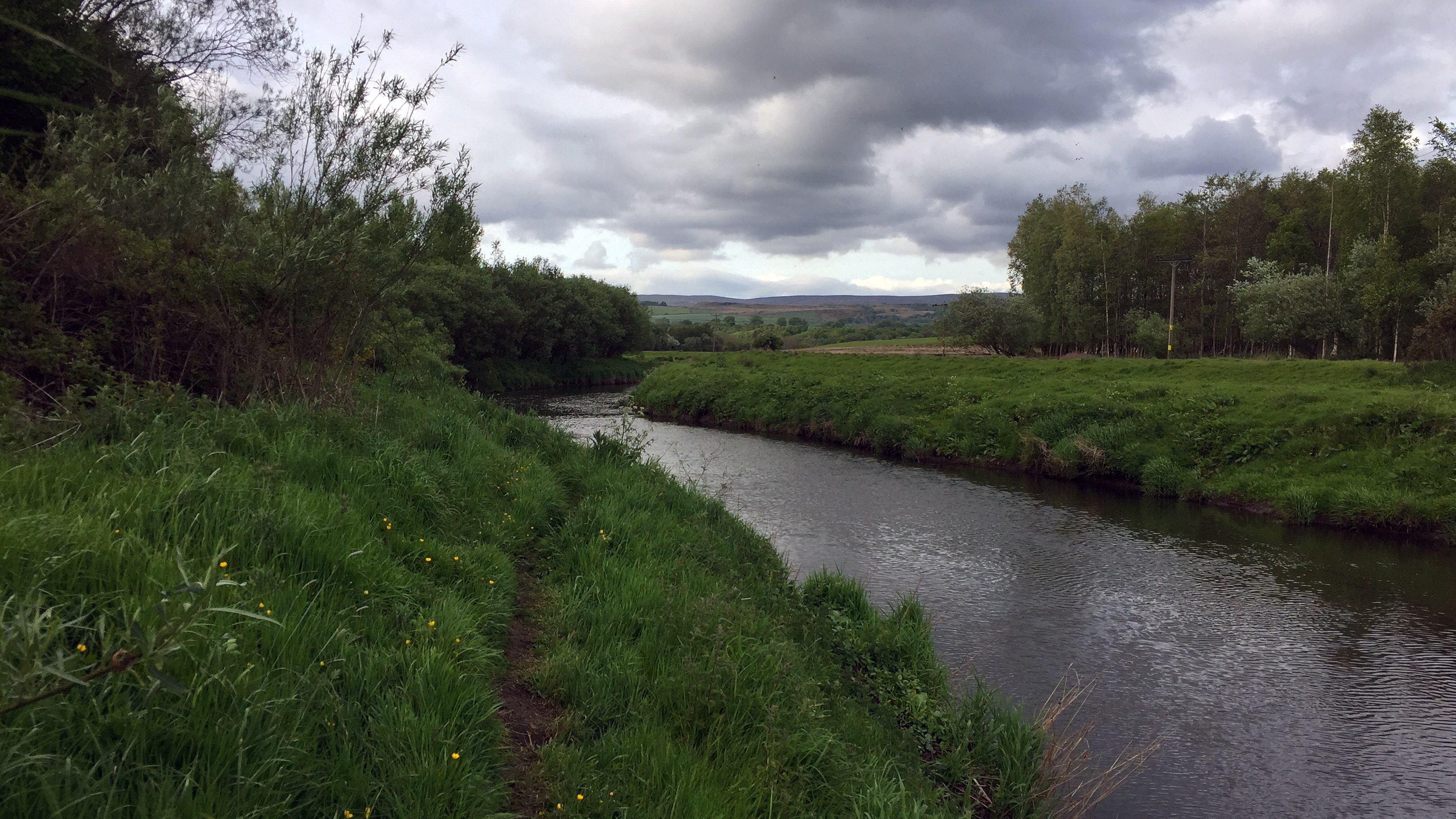 Path by the Kelvin
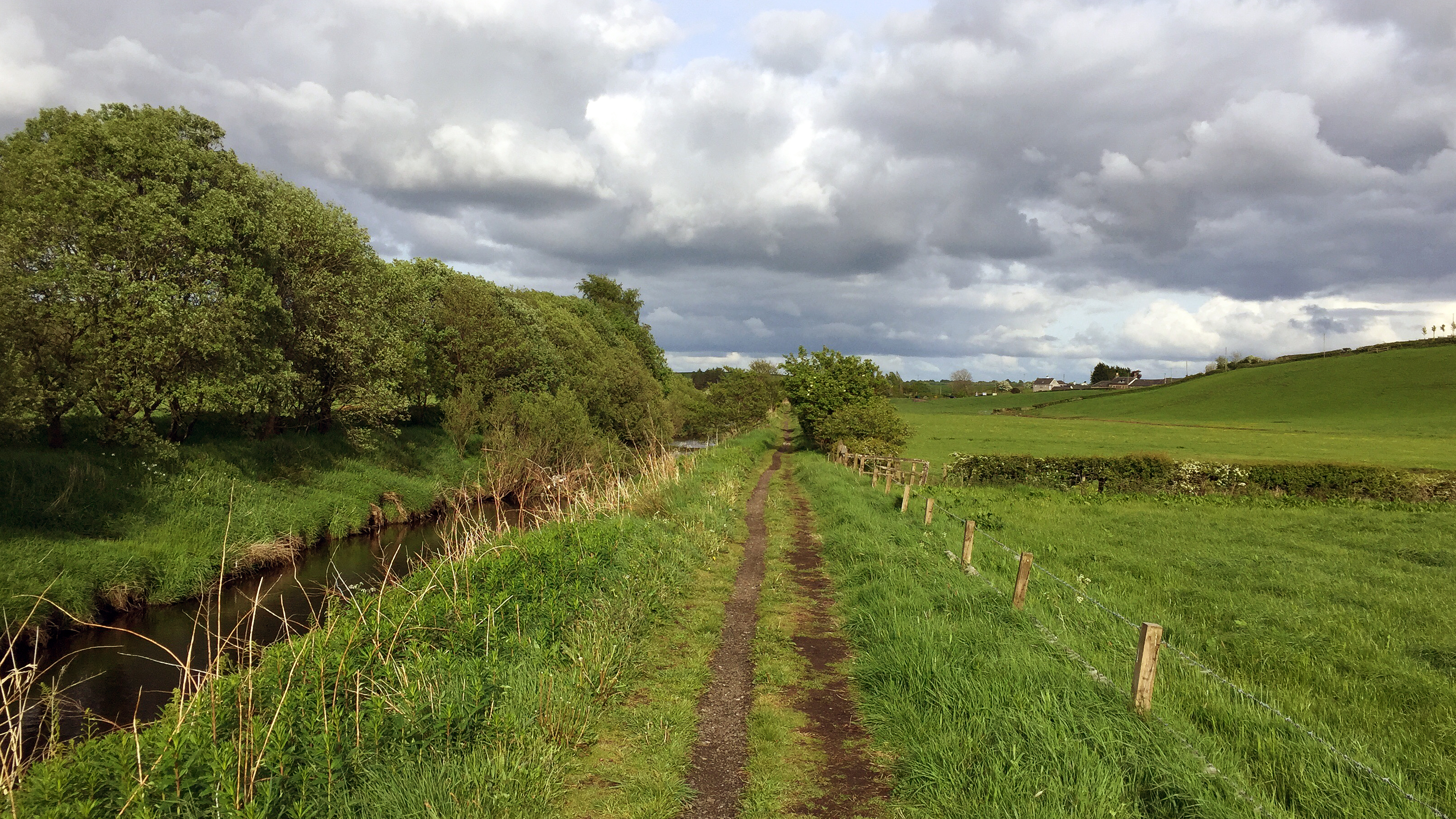 Nearing MilngavieDay 2: Milngavie to Drymen
Distance: 19km
Time: 4:40 (09:50-14:30)
Overnight: Drymen Camping
Lazy start to the day, making the most of the comfortable bed and hotel breakfast. Nipped over the road to the nearby Waitrose to grab something to have for my lunch later in the day, and then I was off, making the short walk into the centre of Milngavie to the official starting point. I would've stopped to take the obligatory photo of the start, but there was a long queue of others waiting to do the same, so with very little ceremony I just walked straight past and commenced the journey. Strangely, given how busy it was around the starting point, I soon found myself completely alone on the path.
The start of the walk was greeted with a light rainshower, but was light enough to carry on in my t-shirt. The first section of the WHW is quite straightforward really through some pleasant woodlands. I enjoyed the section alongside Craigallan Loch. Reaching Dumgoyach Farm the views to the north open up and thoughts of the challenge ahead filled my mind. But today was easy going.
I regret not stopping at Glengoyne distillery, would've made for a nice break today. But I carried on, stopping only briefly near Killearn to scoff my lunch. The sun was out by now and it was pretty warm, but I knew there was rain due this afternoon so was keen to get to Drymen and get my tent up before that started.
I did not much enjoy the final section of the walk towards Drymen on tarmac and I felt the hard surface on my feet quite bad. I was relieved when I saw the signs for the campsite, just as it started to spit with rain. Only the second person to arrive here today, so I got my tent set up quickly before the rain got heavier and disappeared inside to grab a quick nap before dinner. By the time I re-emerged the place was almost full!
Here I made the discovery that the sleeping mat I brought with me was absolutely pathetic

. I would not sleep comfortably all week. Also my tent (Vango Helix 100) felt much smaller than when I last tried it out. But nevertheless it did the job and was nice and light!
Early end to the day. I could've probably gone further, but I was in no particular rush and had a rough plan for the trip which I decided to stick to.
 Day 2: Getting underway
 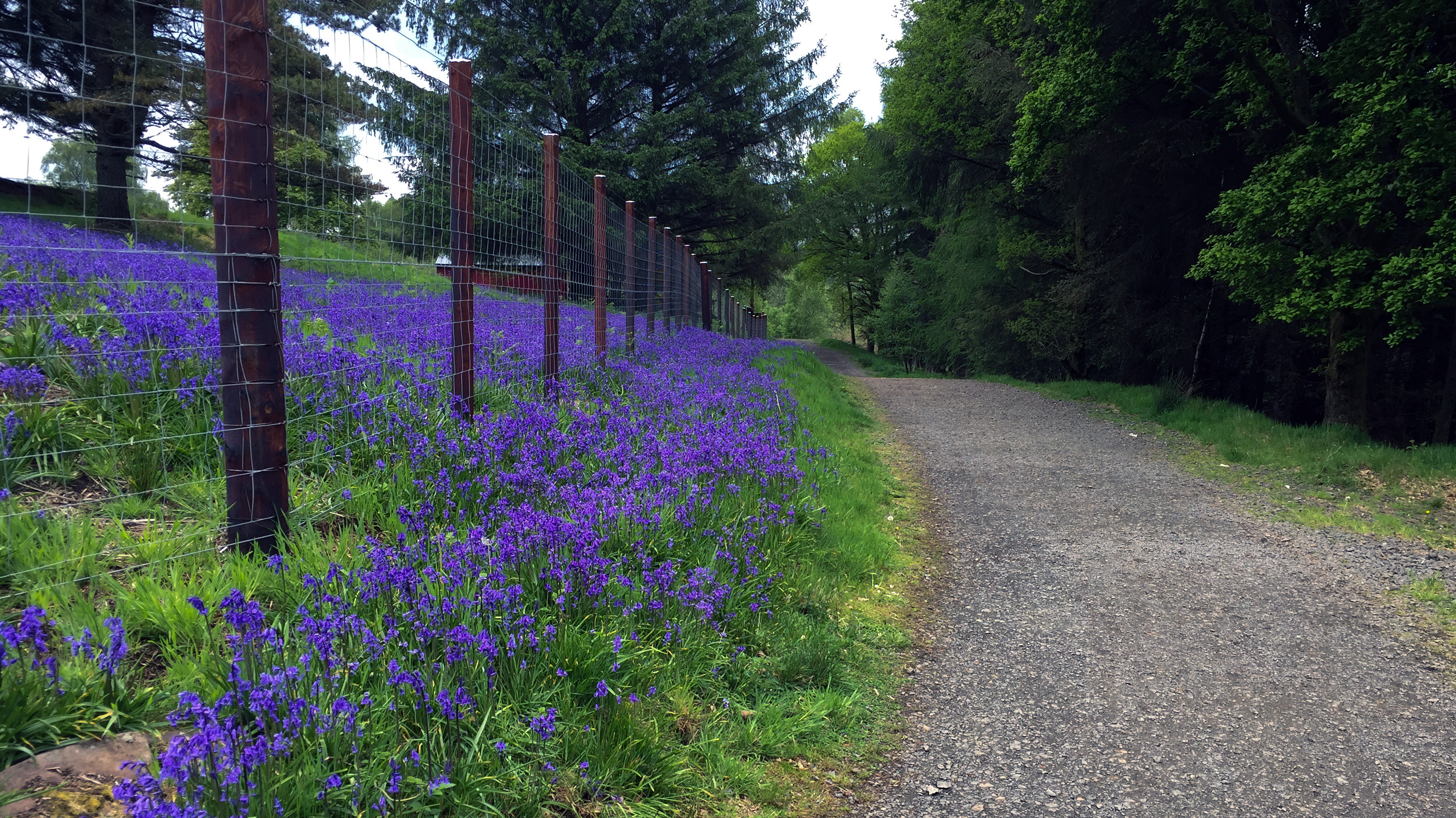 Day 2: Bluebells by the path
 - just about every forest area on the walk had a great display of flowering bluebells.
 Day 2: Near Dumgoyach
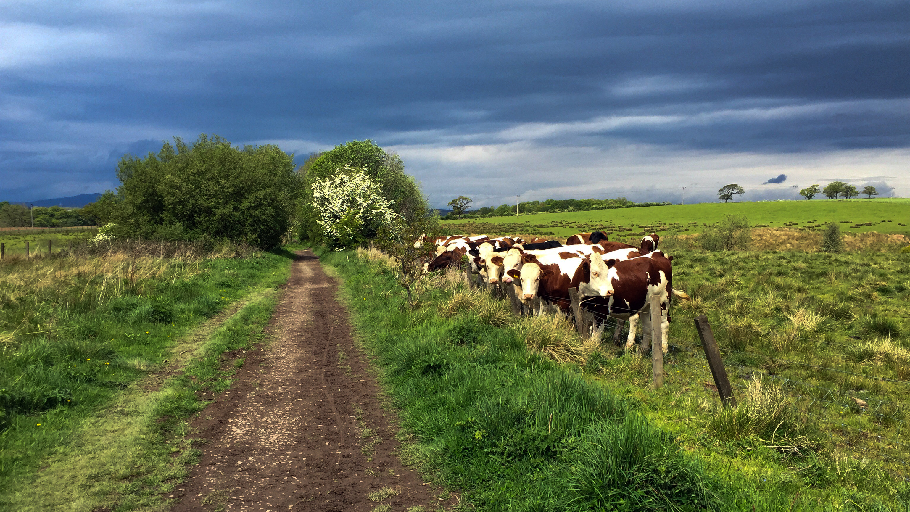 Day 2: Spectators by the way
 - the steady stream of passers by provide some interest to these curious beasts.
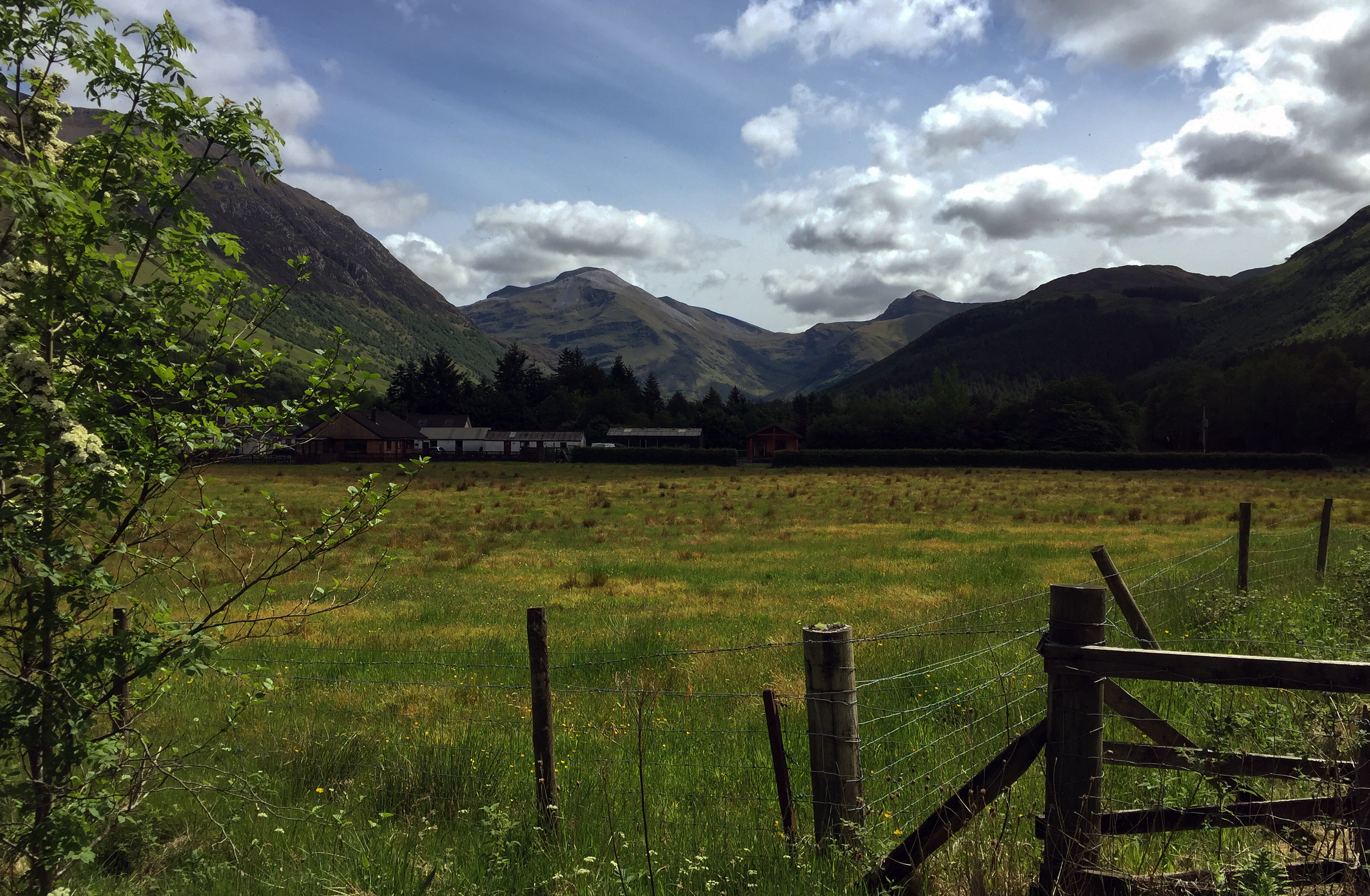
Day 3: Drymen to SallochyDistance: 20km
Time: 6:30 (07:30-15:00)
Overnight: Sallochy Campsite
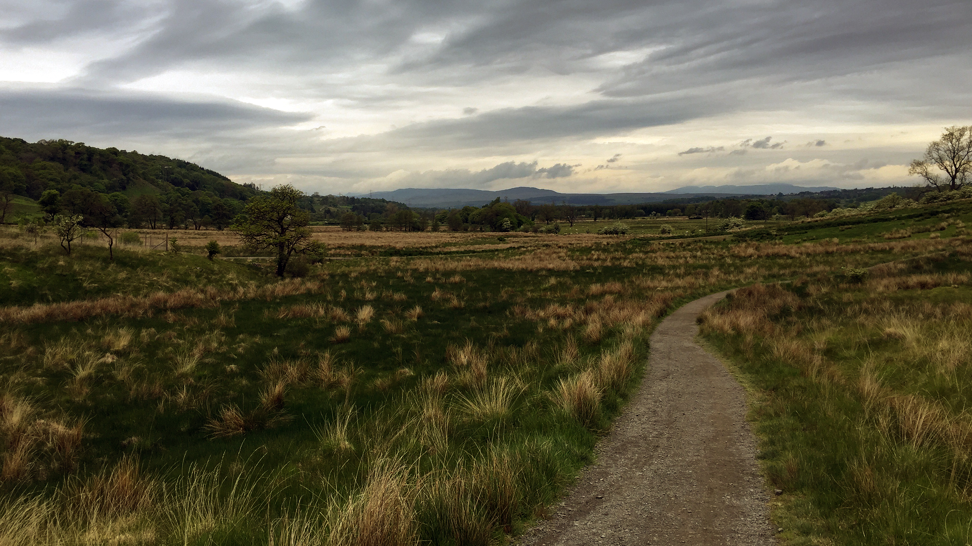
Awake early this morning, it had been raining on and off throughout the night, but was now dry. Was keen to get moving so got packed up, had a quick bite to eat for breakfast and hit the road. The start today was the continuation of the tarmac section towards Drymen, but it felt much better under my feet after a nights sleep and the remaining 1.5km passed quickly. I could see Conic Hill waiting in the distance as I plodded along. Gave me a good feeling for the distance to cover today.
The walk through the forestry towards Conic Hill did seem to go on for quite some time, but made for a gentle start uphill. The views opened up now and then, providing the occasional glimpse over to Loch Lomond. The start of the proper climb up Conic Hill was a fair bit steeper but I soon got into a rhythm and wandered on up at a steady pace. Most people were taking the short detour up to summit of the hill, but feeling tired all of a sudden I opted to stick to the path, take a short break sitting on a handy rock and then head on down. The downhill section was not so nice, steep in places and a challenging gate to navigate with a big rucksack on. I just managed to squeeze through.
A relaxing lunch stop followed in Balmaha. Haggis pizza

and a very welcome and refreshing beer

. Bumped into one of the guys from the campsite last night who joined me for lunch. Compared notes on the day so far and plans for the rest of the day. I'd booked a spot at Sallochy campsite being aware of the wild camping ban and not sure what was available at Rowardennan (my map didn't show any campsites there, but I later found out there was camping available by the youth hostel, which included use of the facilities there).
The remaining distance to Sallochy was not too much, so I was in no hurry to set off from Balmaha and enjoyed the remainder of my pint and sat in the sun for a while. Before hitting the road quickly picked up some supplies for breakfast from the shop.
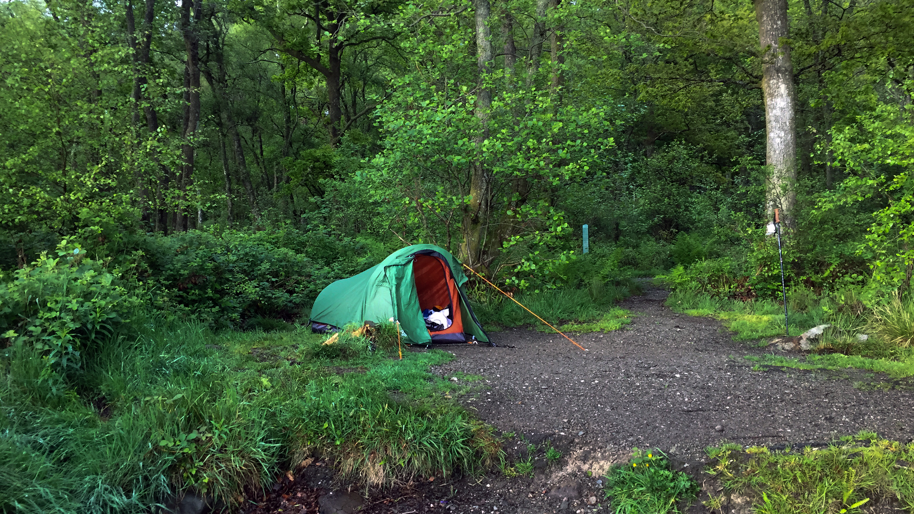
Arrived in Sallochy after walk through some woodlands near the shore, but feeling pretty tired and really starting to feel the weight of my rucksack. Got the tent set up on one of the lochside pitches (which I had reserved in advance). A lovely spot on a sunny evening I'm sure, but instead it was pretty drizzly and damp with plenty midges floating around tonight. I pretty much spent the entire evening inside my tent reading and dozing. With sore feet and a sore back I must confess lying there wondering why I was doing this, it was the low point of the trip. Knowing that tomorrow would quite a challenge didn't help much. However, even given this state of mind, it was probably the best night's sleep I had in my tent and next morning I felt like just lying there all day!
 Day 3 - Conic Hill in the distance
 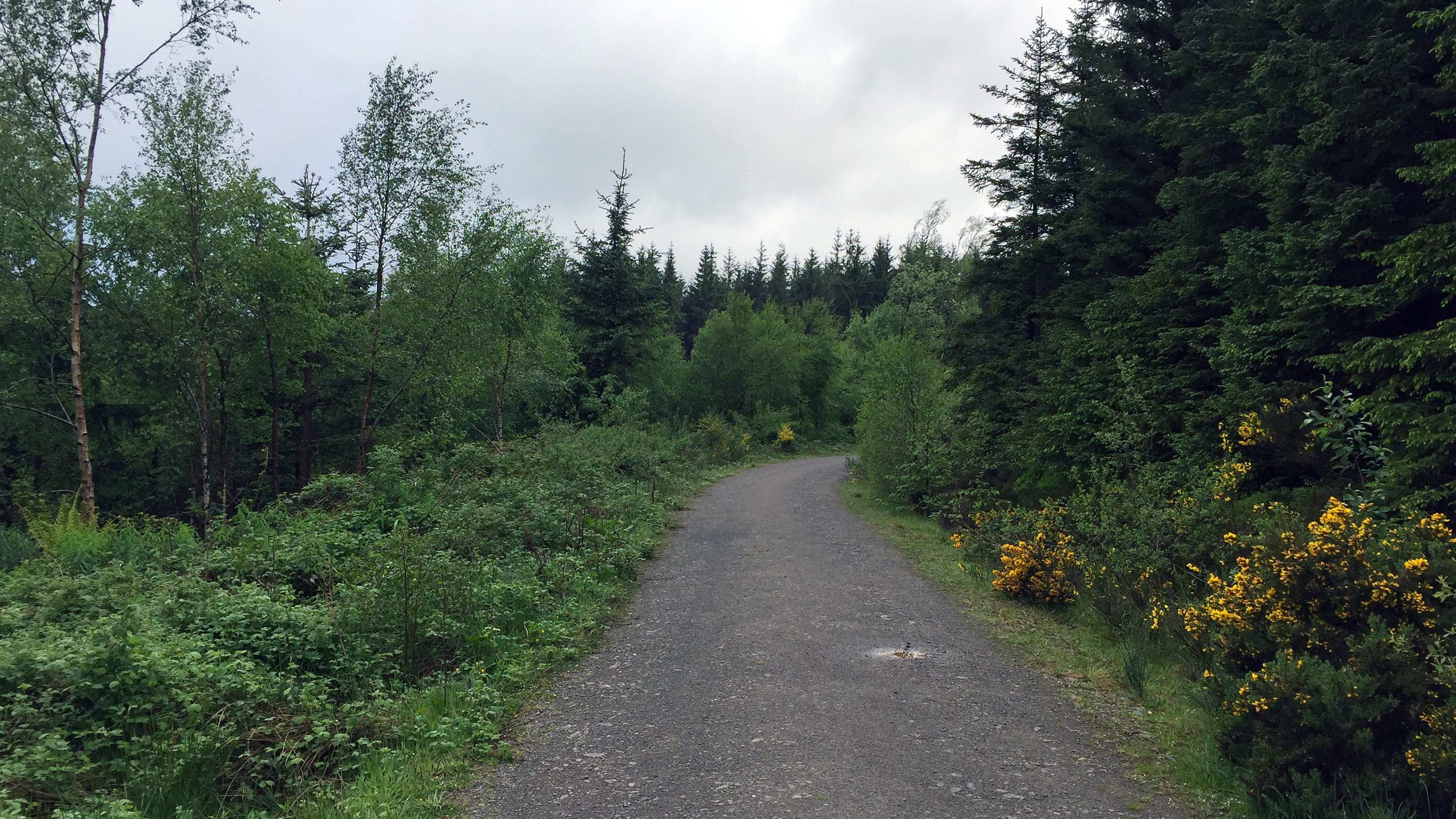 Day 3 - Forestry Tracks
 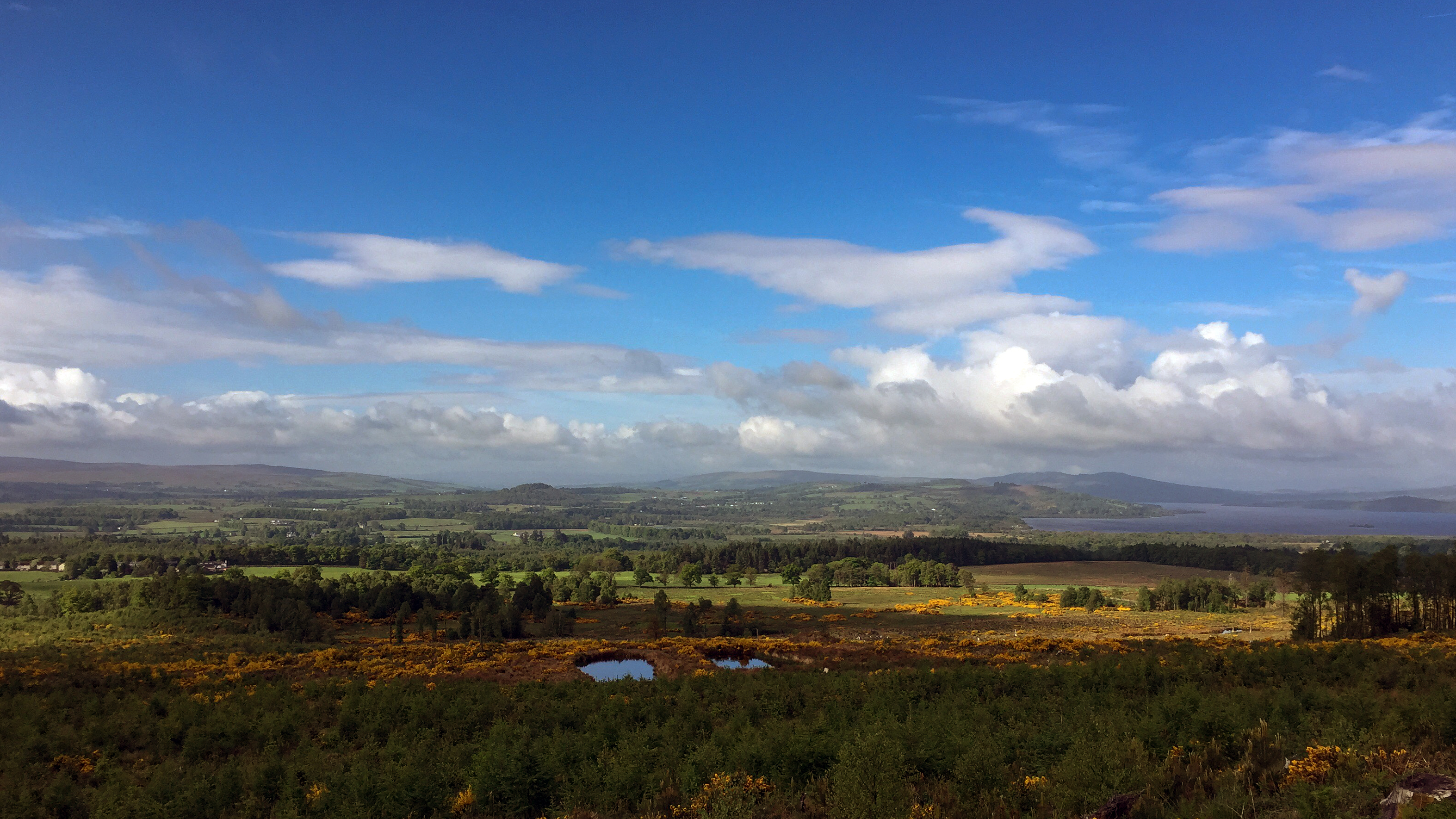 Day 3 - Loch Lomond in the distance
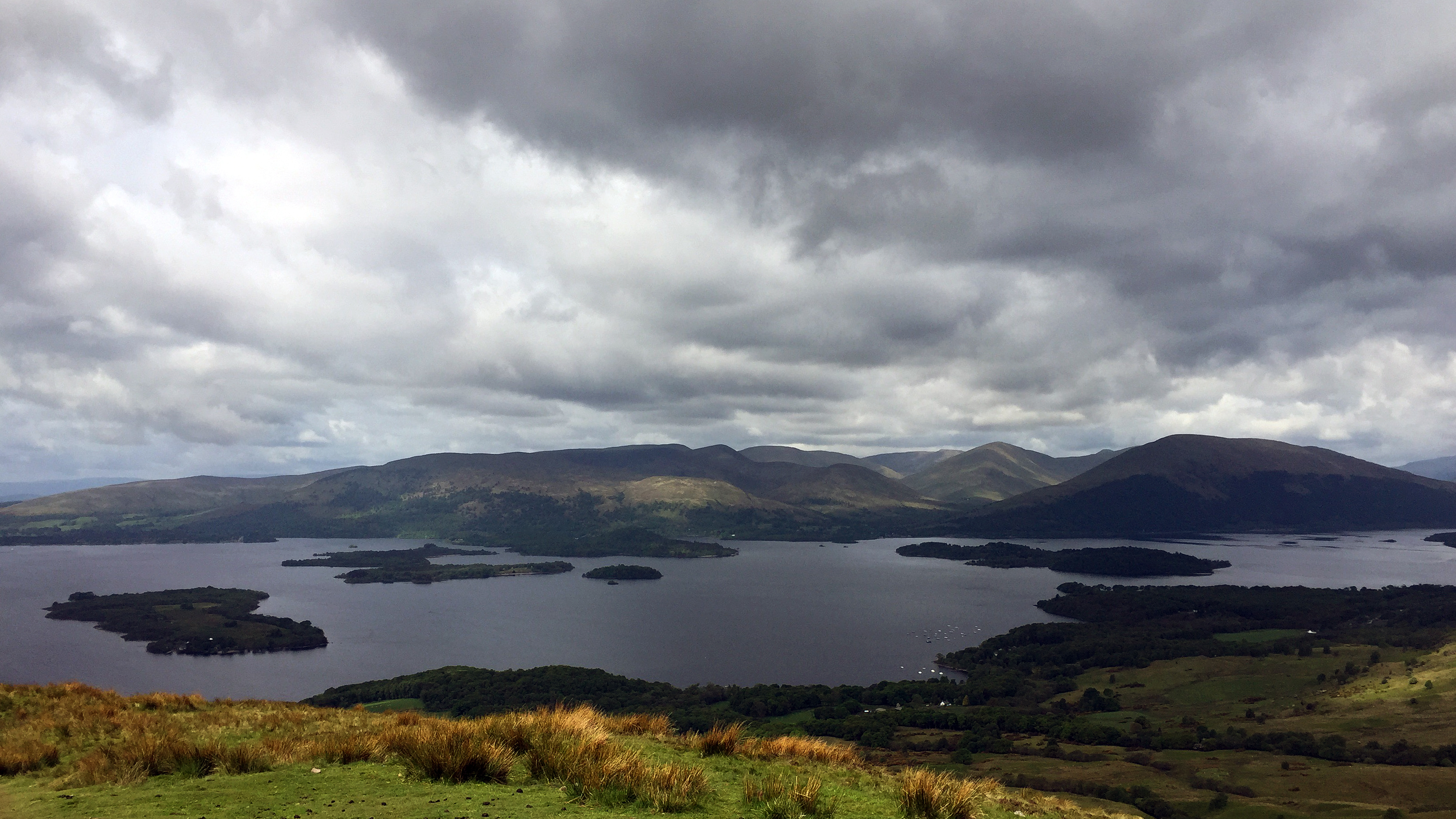 Day 3 - Loch Lomond from Conic Hill Day 4: Sallochy to Inveranan
Distance: 27km
Time: 9:55 (08:50-18:45 - includes a long lunch stop in Inversnaid)
Overnight: Beinglas Farm Campsite
Unlike yesterday morning, I was not so keen on getting moving today. Knowing that there were midges waiting to nibble at me when I left the tent didn't hurry me up much either. But eventually I dragged my lazy carcass out of the tent and got moving. Stood down on the shore to catch a light breeze to keep the midges away, whilst munching on a cereal bar. It was an atmospheric view around the loch, with low cloud and mist gently blowing over the hills.
Got the tent packed up, topped up on my water and hit the path, initially taking the short 5km through to Rowardennan, where I stopped at a picnic table to scoff down another cereal bar. Thinking back over the entire walk, this part, between Sallochy and Rowardennan, I cannot actually remember at all! I don't even have any photos. Must've been on full autopilot mode.
Running late and my rucksack weighing me down more today, I chickened out and took the easy option after Ptarmigan Lodge going for the detour which runs slightly higher up rather than along the shore. It was probably far less exciting, but made for some fast walking and I made up some time along this section keeping up a good pace the whole way. Nevertheless I still felt pretty knackered arriving into Inversnaid, which was absolutely mobbed when I got there with a mix of WHW walkers and people on coach tours. I went into the hotel for a long lunch and almost went and asked if they had any rooms and would've happily crawled into bed for the rest of the day. But my lunch of macaroni cheese (with a beer of course) refreshed me and I felt good to go.
The section from Inversnaid through to Beinglas Farm is pretty tough going, but I actually really enjoyed the more challenging path and made for interesting walking. Perhaps I should've taken the low road earlier on today! I stopped for a short break on the shore and really enjoyed taking in the sights and sounds there and it really lifted my spirits somewhat. There were some really great looking wild camping spots along this section, a lot of which had already been claimed. I continued on my way to Beinglas however, looking forward to a beer at the end of the day. The last few km were a real chore after a long day walking and seemed to take forever to pass. I was sorely tempted to go and raise the buoy and summon the ferry over to Ardlui and pitch there for the night, but I persevered onwards. I was very pleased that I did as Beinglas is a great campsite. Feeling somewhat refreshed after a welcome shower (and having bought a new pair of insoles for my boots at the well stocked shop) I went for a curry and pint in the bar, meeting up with a few folk I'd met back in Drymen again.
 Day 4 - Lochside pitch at Sallochy
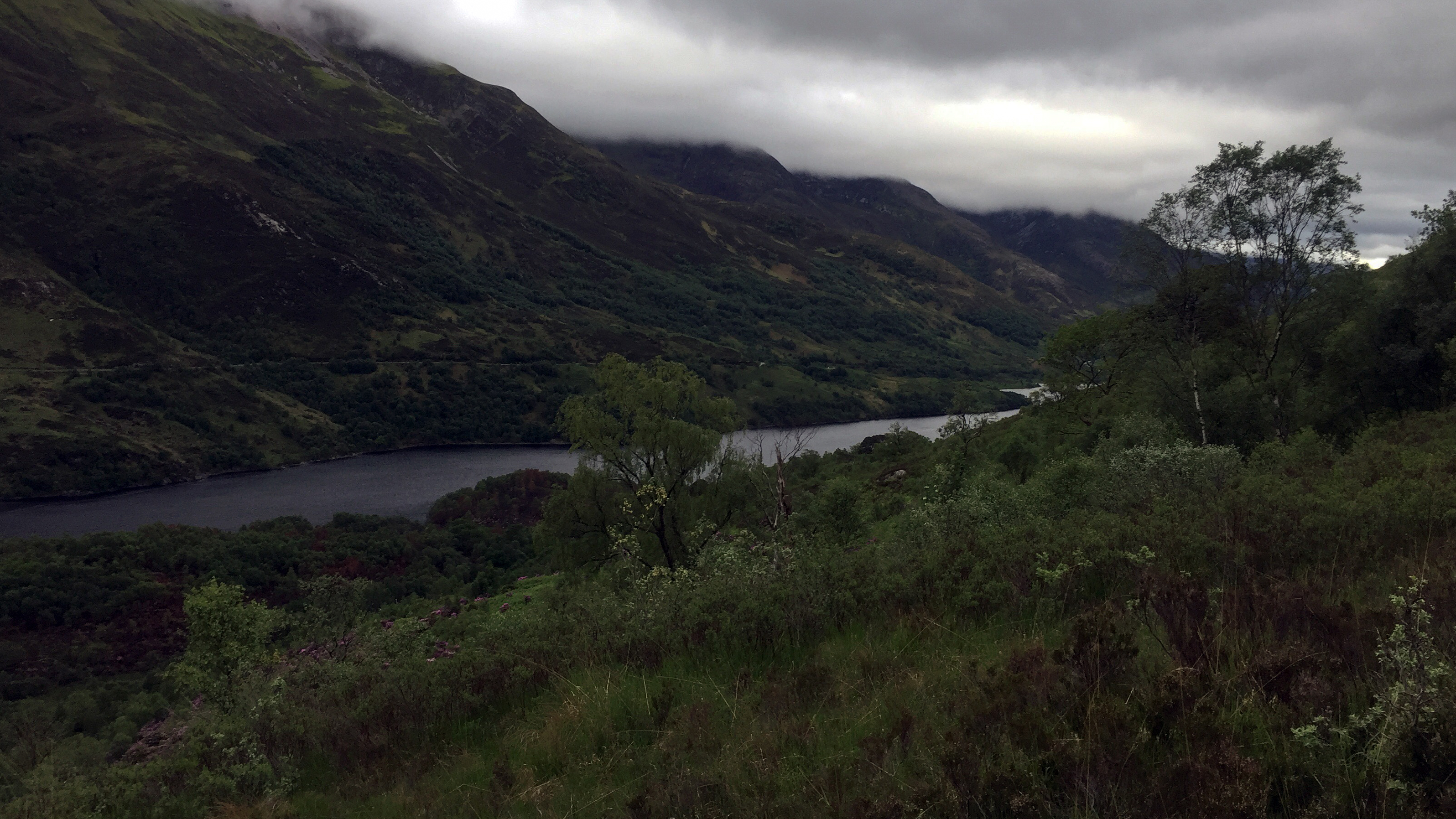
 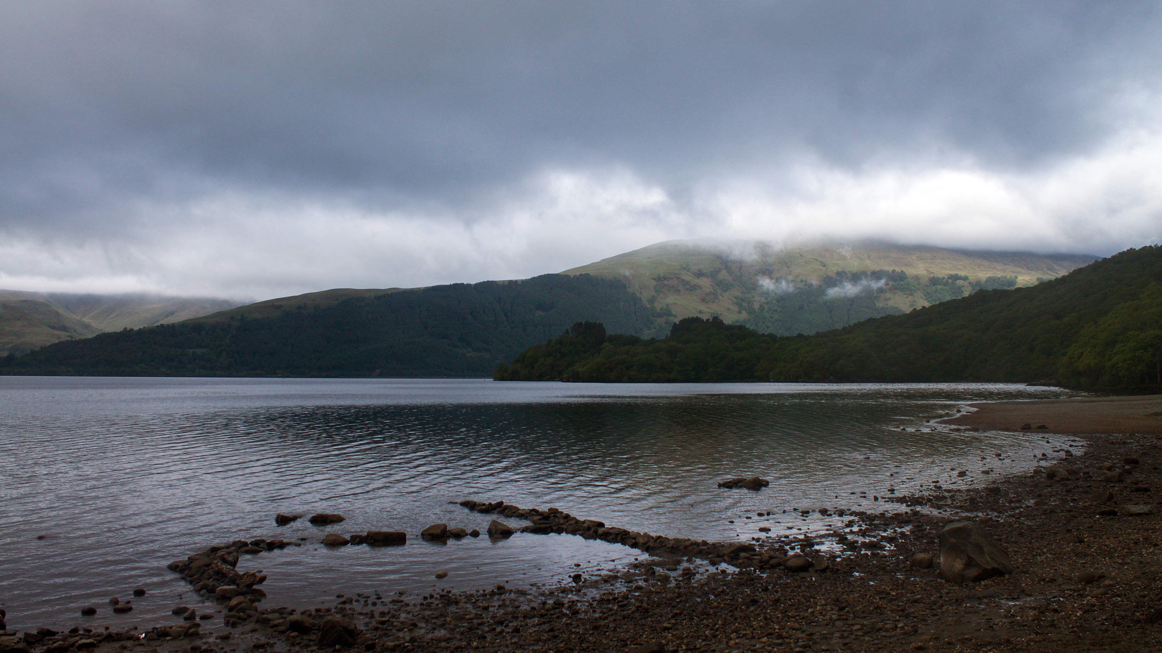 Day 4 - View from pitch at Sallochy
 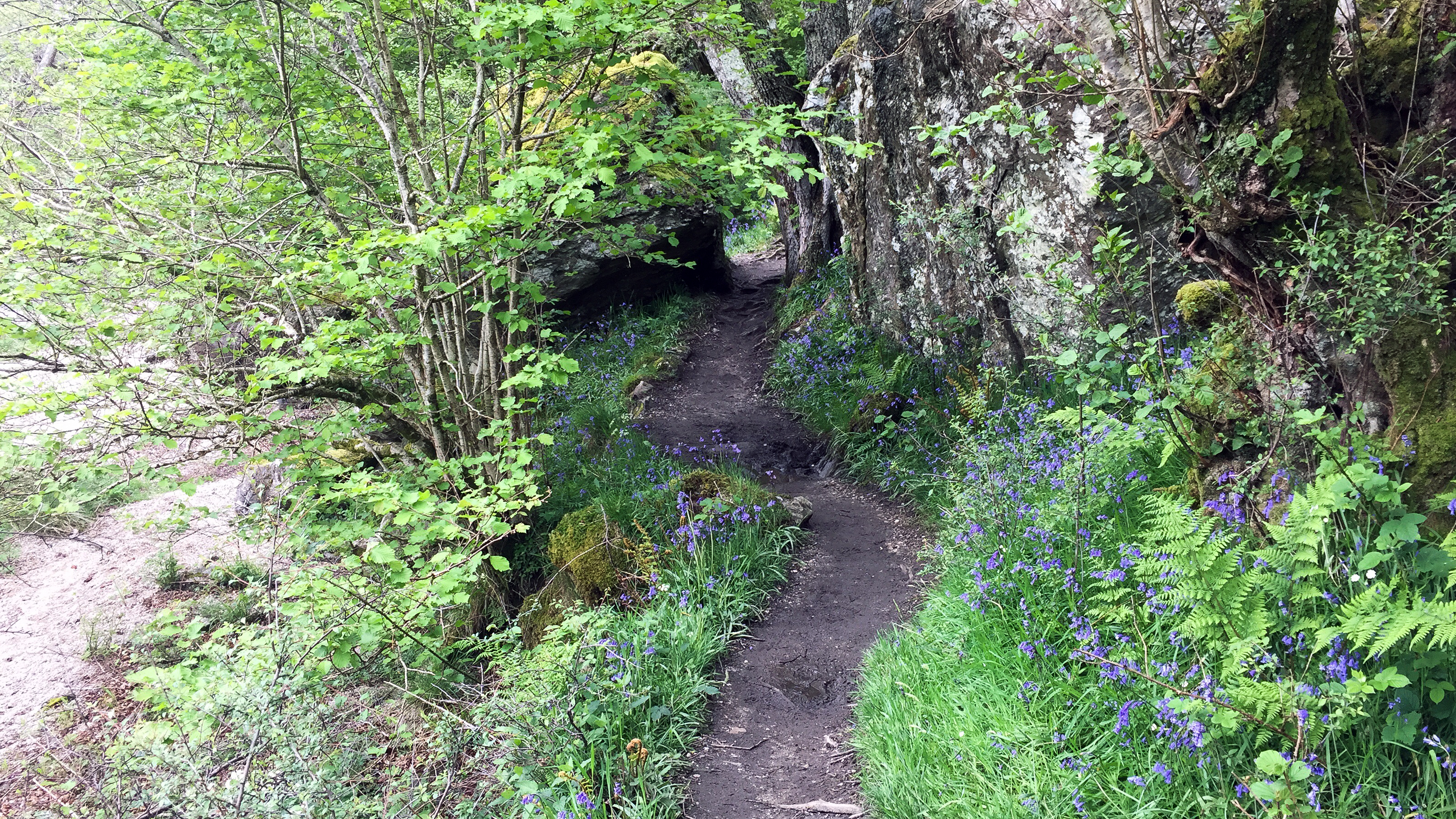 Day 4 - Path along Loch Lomond
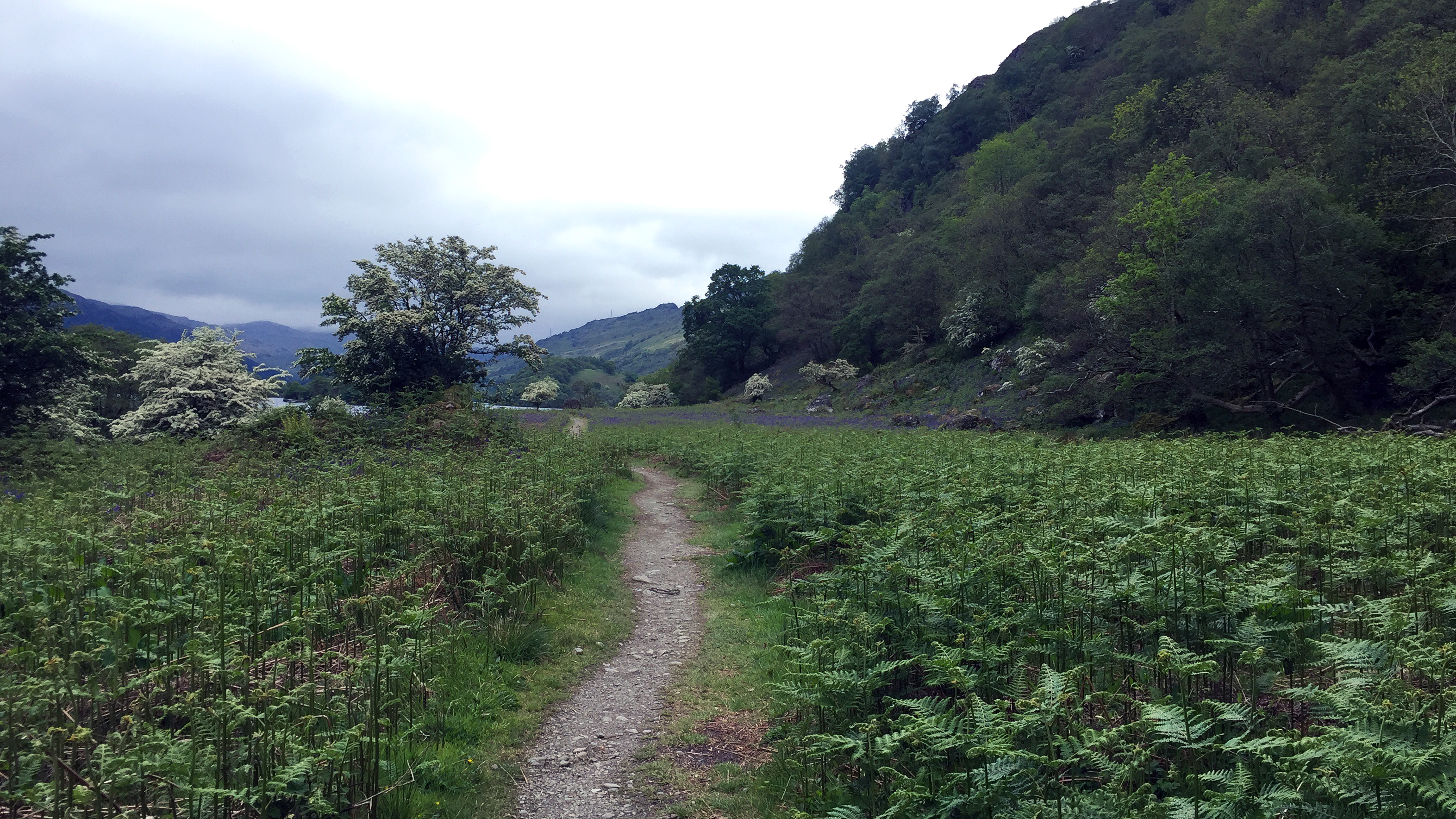 Day 4 - An easy section of path by the loch
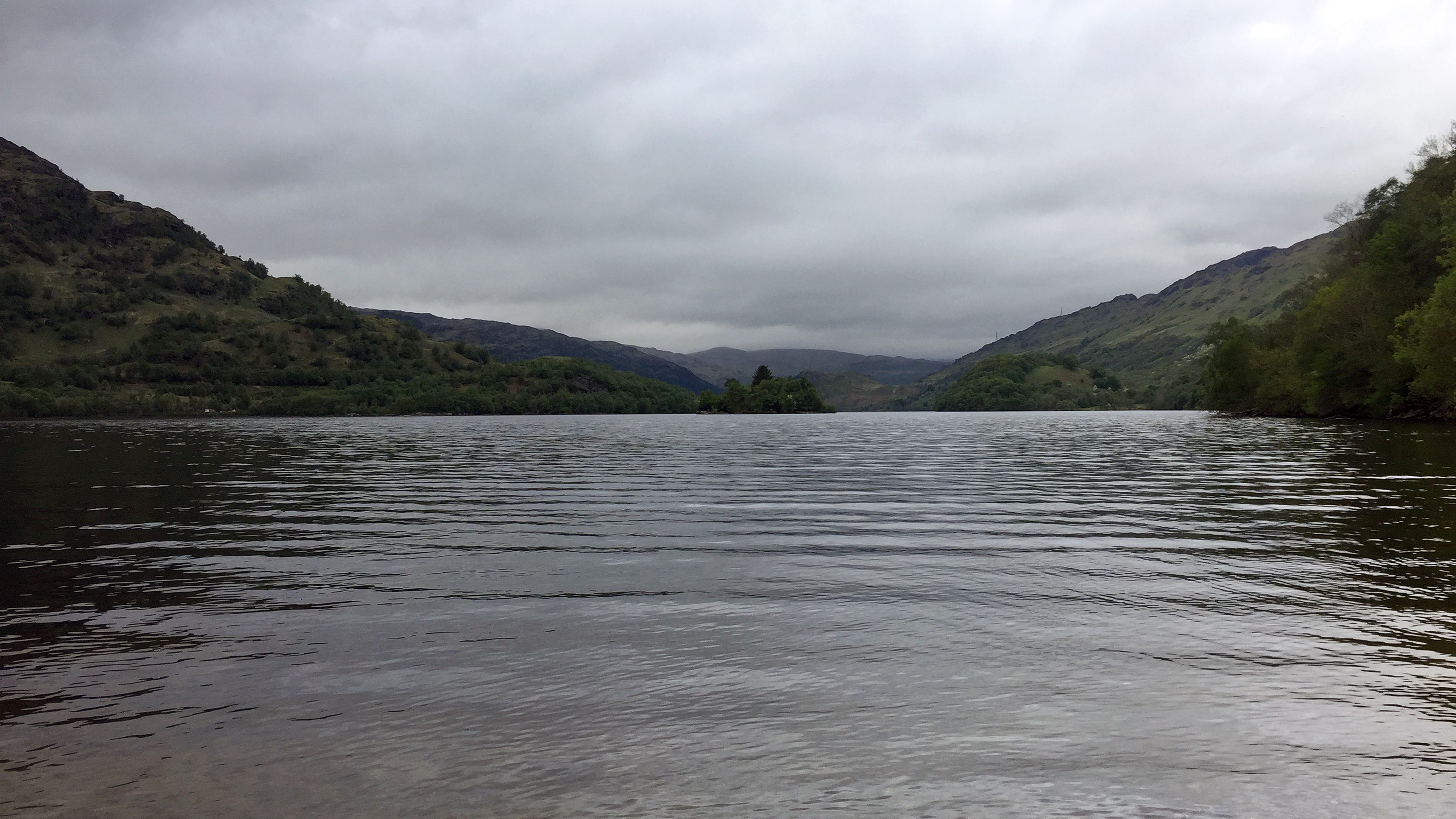 Day 4 - Enjoying a break by Loch Lomond
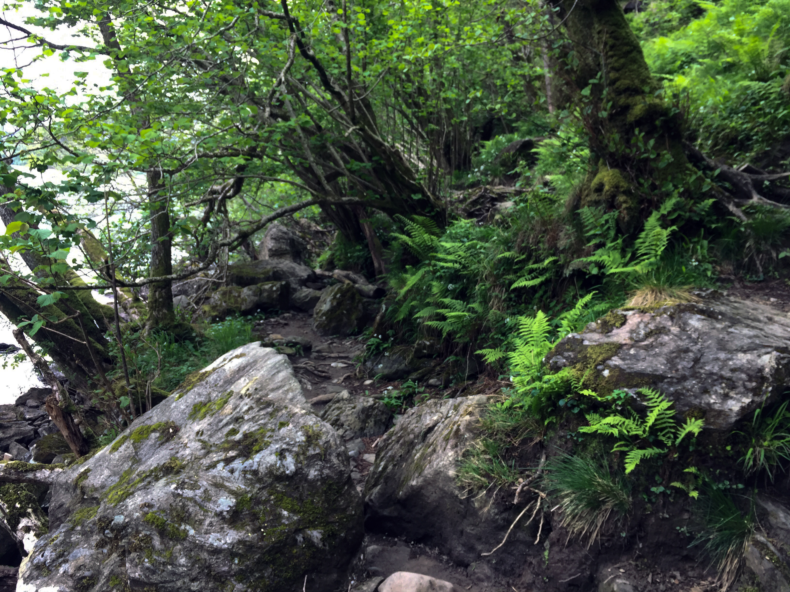 Day 4 - The paths there somewhere Day 5: Inveranan to Tyndrum
Distance: 19km
Time: 7:10 (09:20-16:30)
Overnight: Camping hut at 'Tyndrum By The Way'
I had a really quite uncomfortable night in the tent last night, and didn't sleep particularly well. But I was motivated by the fact I had booked a camping cabin in Tyndrum for this evening and would have a bed to sleep on tonight rather than my useless sleeping mat. It was a much shorter day so I had a leisurely start, allowing my tent to dry out and enjoying a sausage sandwich for breakfast.
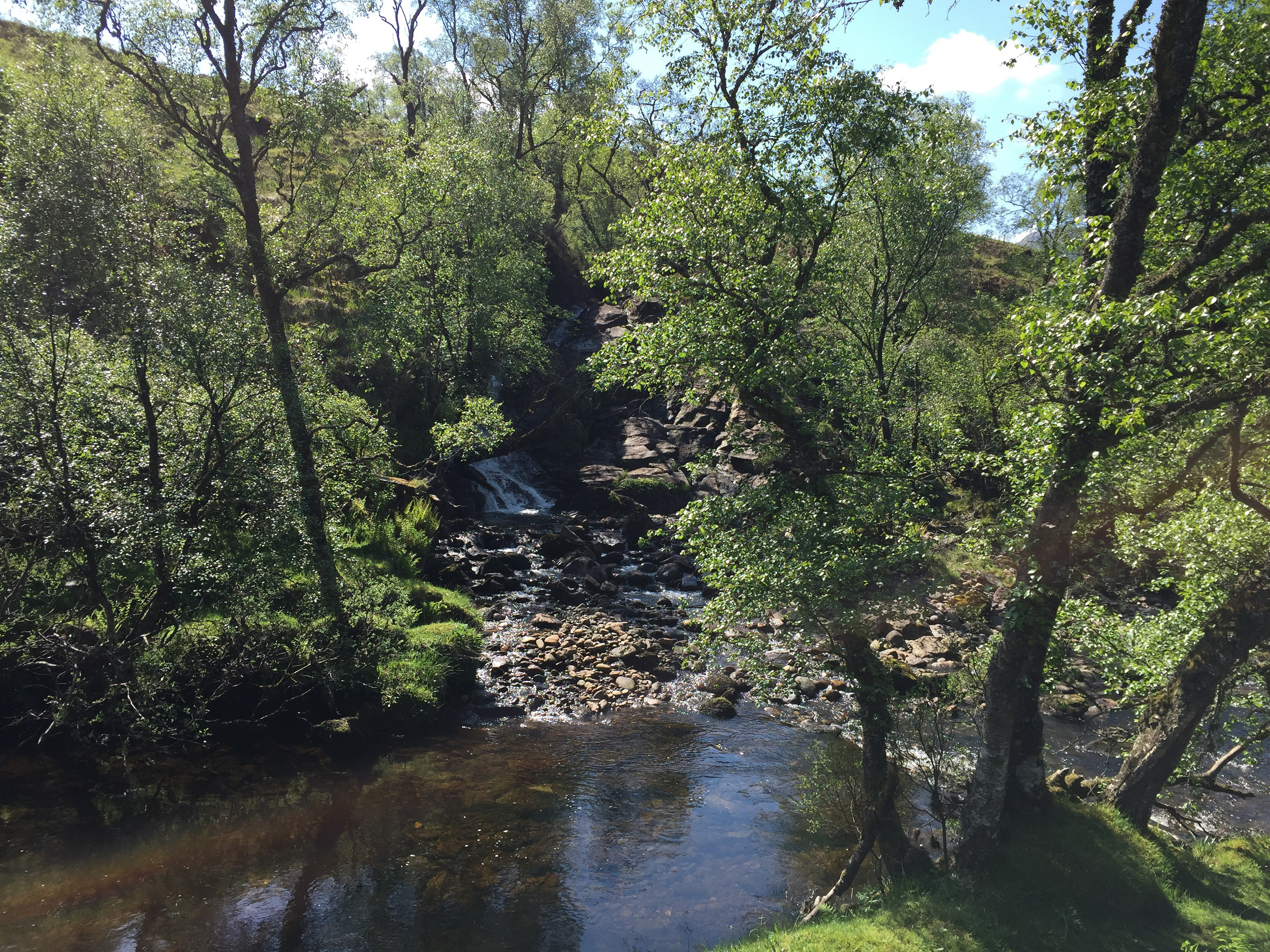
It was forecast to be a scorcher of a day and I set of at an easy going pace enjoying the walk along the river. After crouching down to get under the very low railway bridge, and then the much better tunnel under the A82, I was delighted to stumble across an honesty shop where I gladly purchased an ice cold tin of Irn-Bru! It was getting pretty hot by this time. There was a good atmosphere along this section of the way and everyone seemed in high spirits with the weather as good as it was. I stopped for some lunch (which I bought back in the store at Beinglas) by the turnoff to Crianlarich. I first met some of the others from the campsite and later chatted for some time with some chaps up from the borders walking in the area. They recommended the Borders Abbeys Way as good walk to do with my wife in the future, if I can talk her into it. She's not one for camping each night, preferring the comfort of a hotel.
Next was the walk through to Tyndrum, all quite straightforward. A climb up through some forestry before heading back down to cross the A82 again and then through some farmland. Stopped again for a short while at Auchtertyre, buying an ice cream from the farm shop, before tackling the remaining few kilometers into Tyndrum.
Having booked a small camping cabin at Tyndrum By the Way (another fantastic campsite) I was very happy to not have to set up my tent this evening and had a very relaxing evening there. The showers were excellent and I got some clothes washed and dried in the evening sunshine. After a quick meal I sat in the sun reading my book before an early night to catch up on some missed zzz's!
 Day 5 - River Falloch
 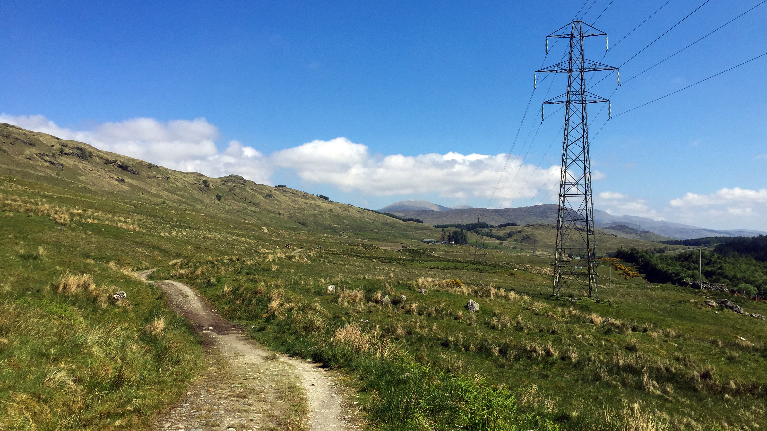 Day 5 - Blue skies and easy walking
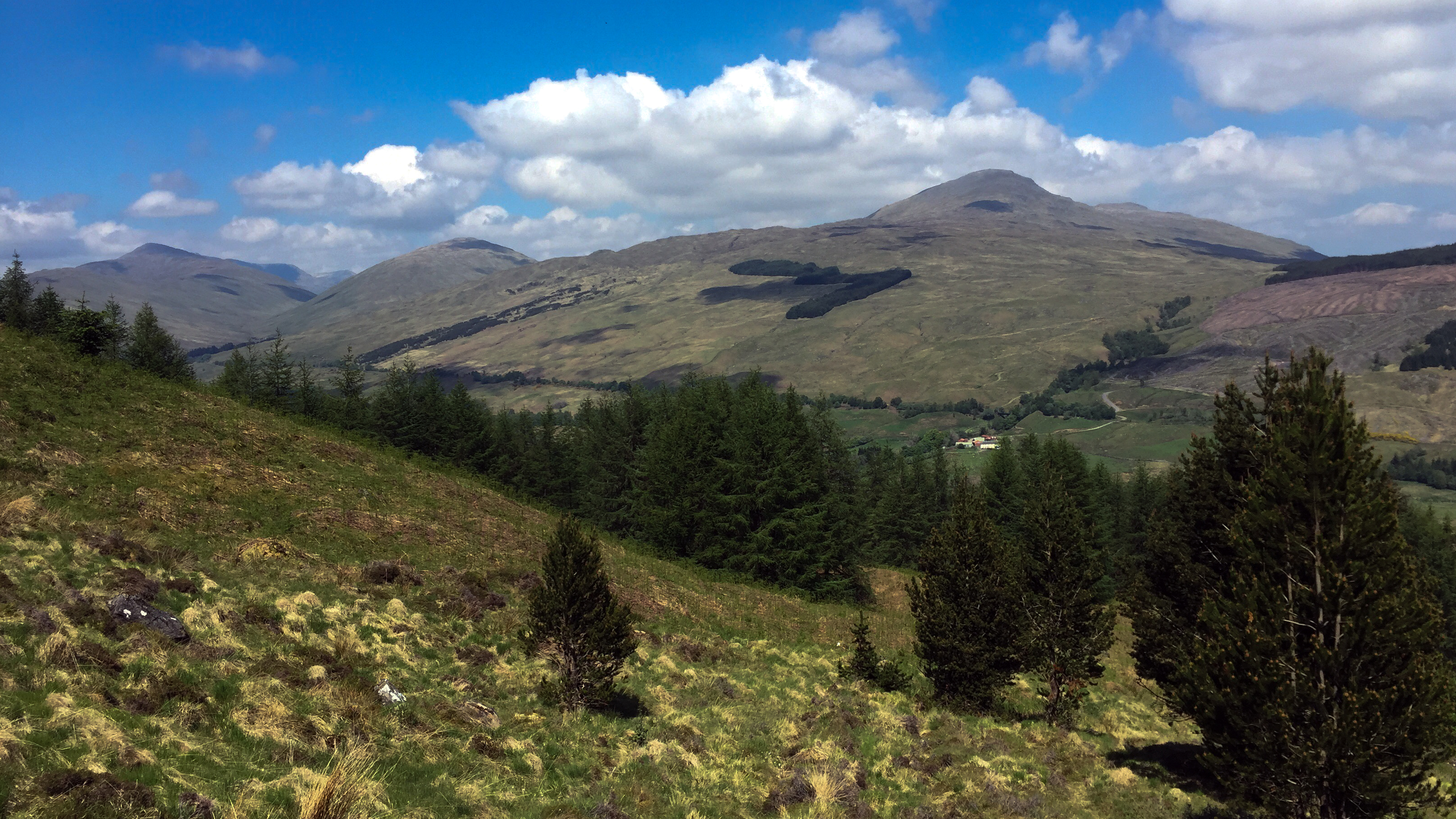 Day 5 - After Crianlarich
 Day 5 - Me on the way
 Day 5 - Luxury accomodationDay 6: Tyndrum to Glencoe
Distance: 28km
Time: 8:25 (08:50-17:15)
Overnight: Wild camping
This was the big day, the biggest distance to cover, and the highlight of crossing Rannoch Moor! I awoke feeling refreshed after my night in the cabin, brewed up a coffee and had some breakfast. Made a brief stop at the little shop in Tyndrum to stock up on some supplies, before getting underway for the day.
The first part of today was very easy walking through to Bridge of Orchy, sticking close to the A82 and railway line on a good quality path making for some quick walking. The first 11km passed in no time and made a quick stop in at the Bridge or Orchy hotel for a coke (still too early for a beer, although the barman tried his best to convince me otherwise

).
Short walk from Bridge of Orchy up over Mam Carraigh and was soon at the Inveronan hotel where I finally allowed myself a beer (a pint of West Highland Way lager) and some lunch. A really enjoyable stop this and I would've quite happily sat in that bar all afternoon. But with still some distance to go I settled on topping up my water supplies and sun cream cover and getting going again.
Whilst my bag was again feeling heavy on my back on this section, the wonderful views made up for it. Also it was a scorcher of an afternoon (although saved by a cool breeze at least). The path was quite hard on the feet but it was largely flat and quick going. My ultimate aim today was to make it to Kingshouse, but if I found a suitable wild camping spot I would throw down my gear and stop there for the evening. My feet were feeling quite painful towards the end of the day, I could feel some blisters forming as I walked, so approaching Glencoe centre I spotted a nice little spot beside a burn and decided I was done for the day.
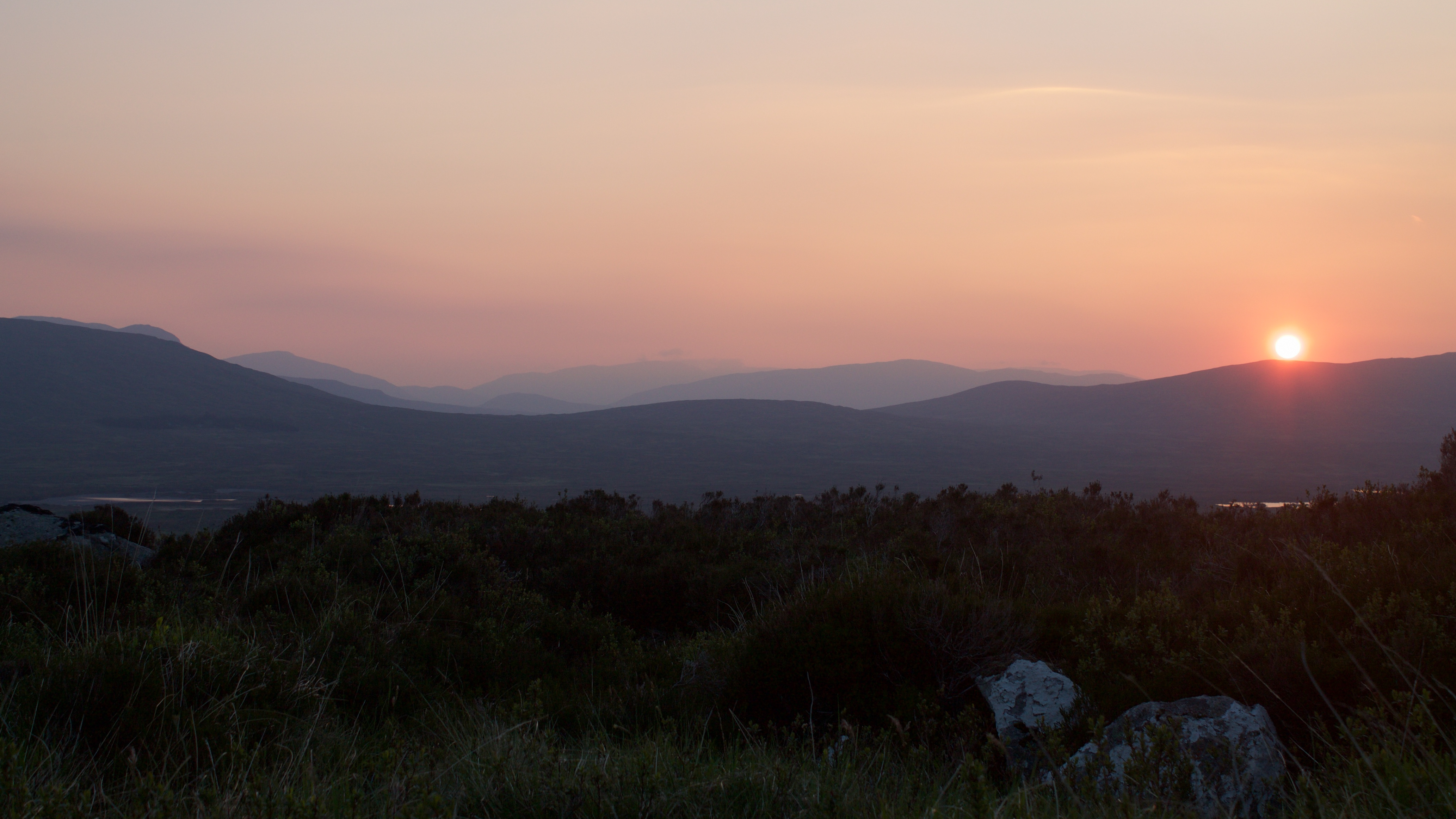
And what a great decision it was! A beautifully peaceful spot, with a great view over Glencoe. I was, in a way, quite glad my feet had got so sore and urged me to stop a little early. After setting up my tent I sat on the ground in my bare feet for around an hour just staring at the view. I must have been one of the stragglers today as there were only around 2 or 3 people to pass by on the path for the rest of the day.
Cooked myself up some grub, the only downside being I couldn't enjoy a beer with my dinner tonight. But I'd gladly pass on that for this view. As the sun went down and the wind died off I made a retreat to my tent before any midges made an appearance.
A long day, but a good day!
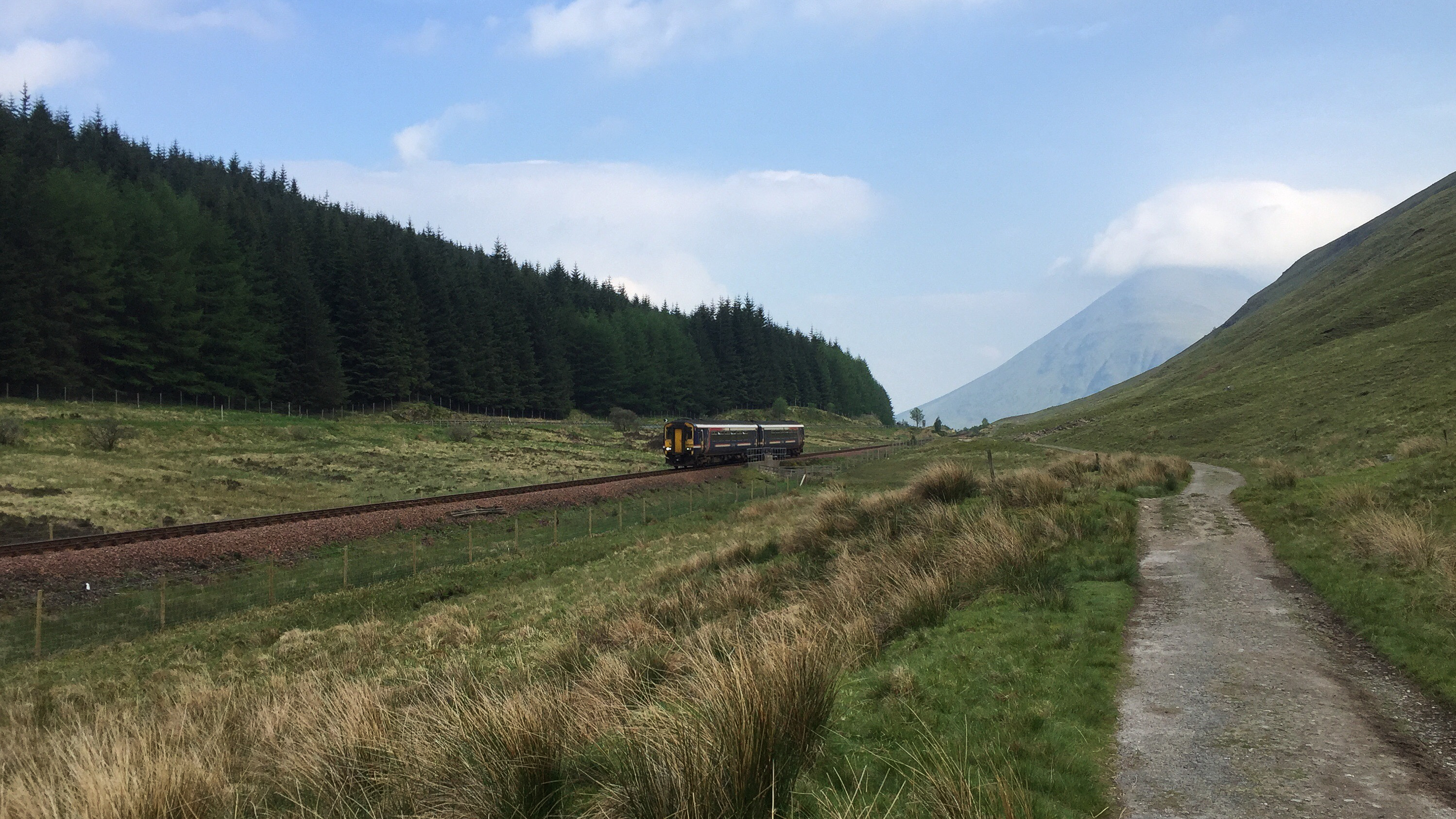 Day 6 - Passing train
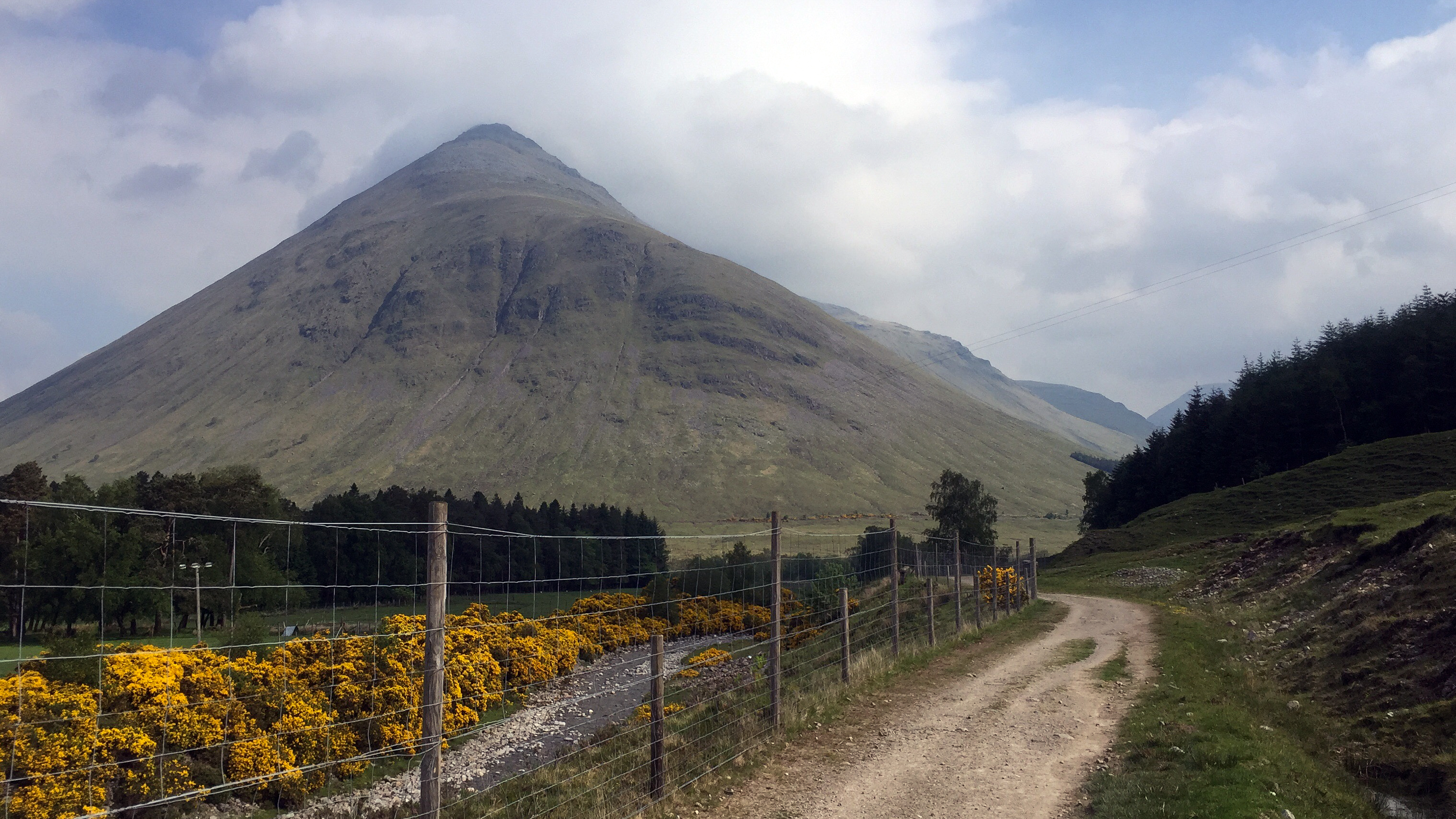 Day 6 - Beinn Dorain
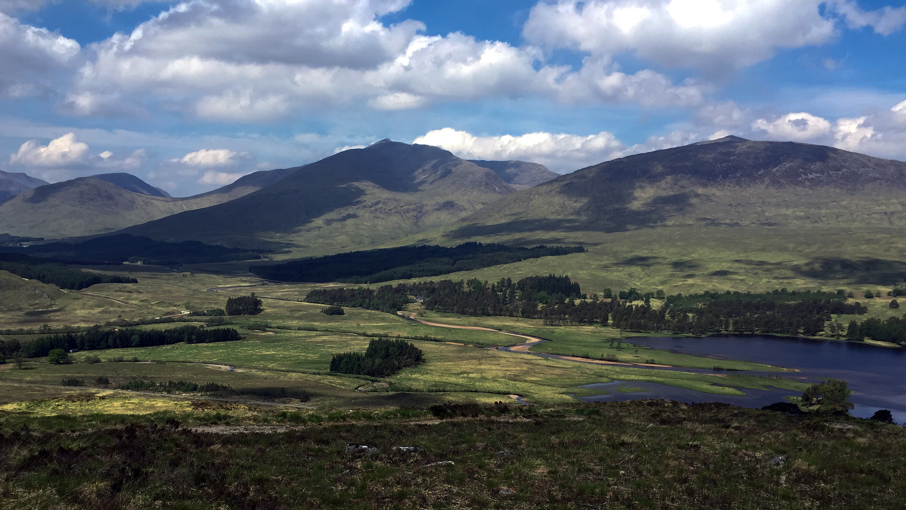 Day 6 - Descending to Inveronan
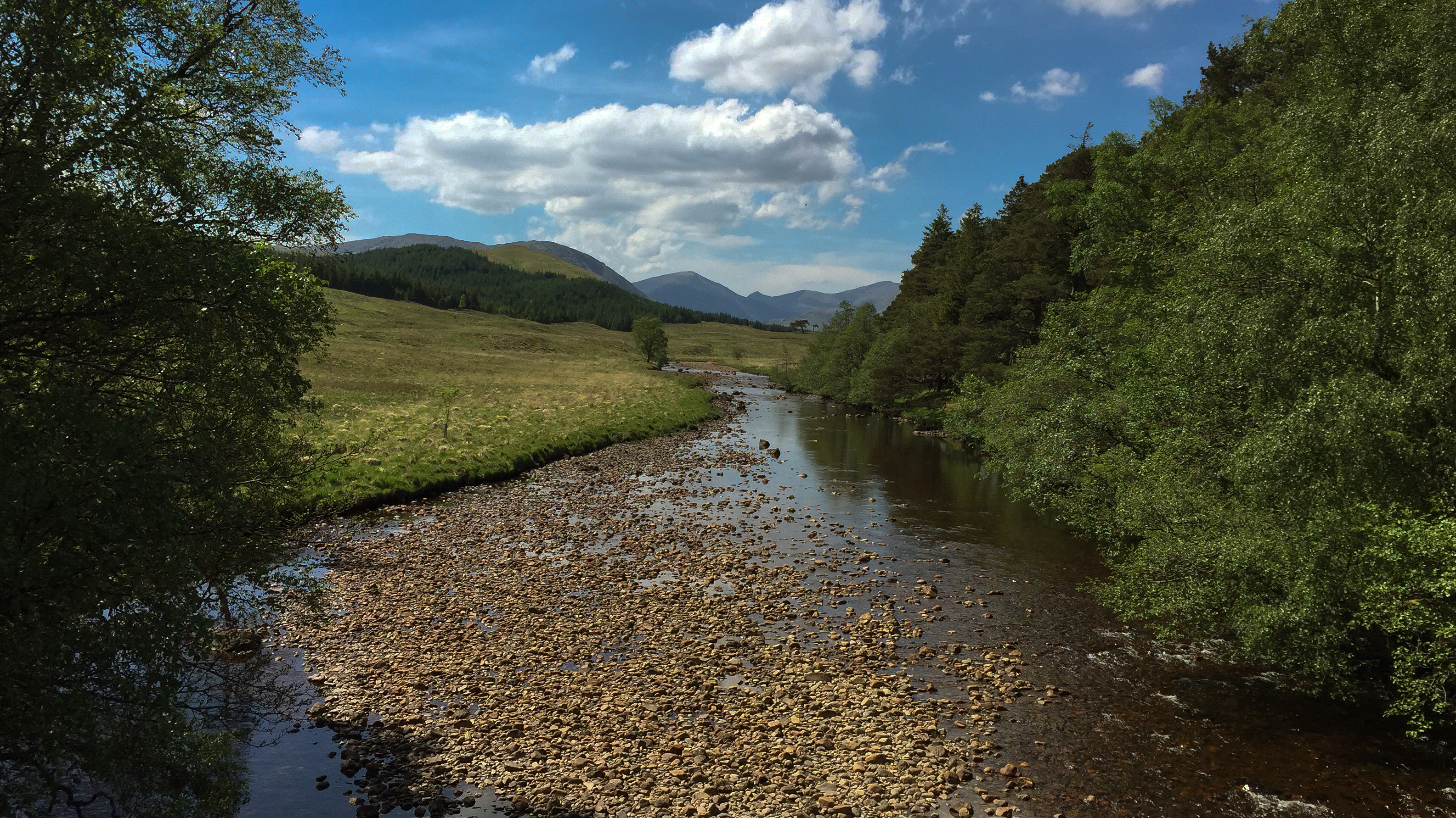 Day 6 - Crossing Victoria Birdge past Inveronan
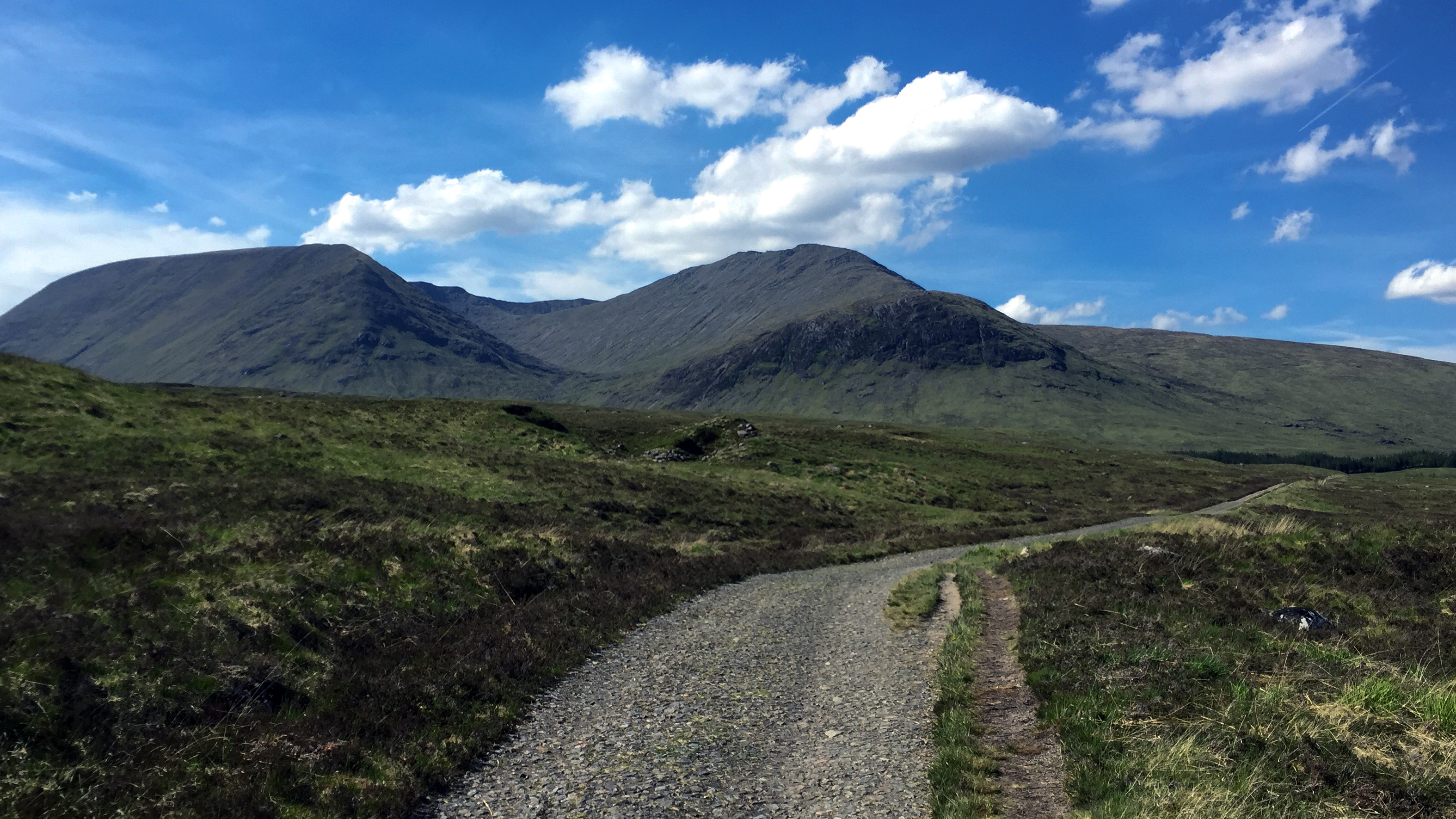 Day 6 - Telford's parliamentary road
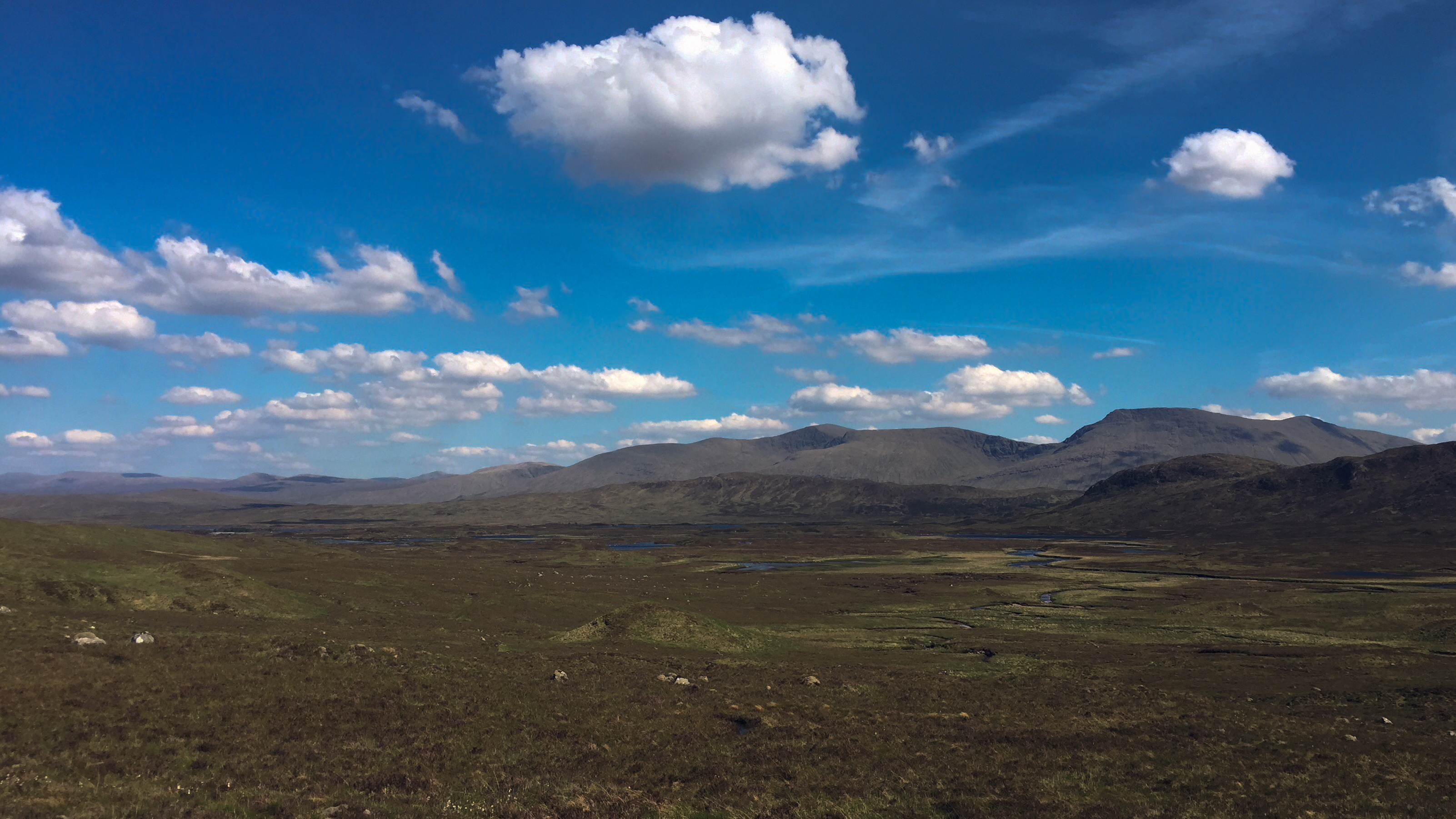 Day 6 - Crossing Rannoch Moor
 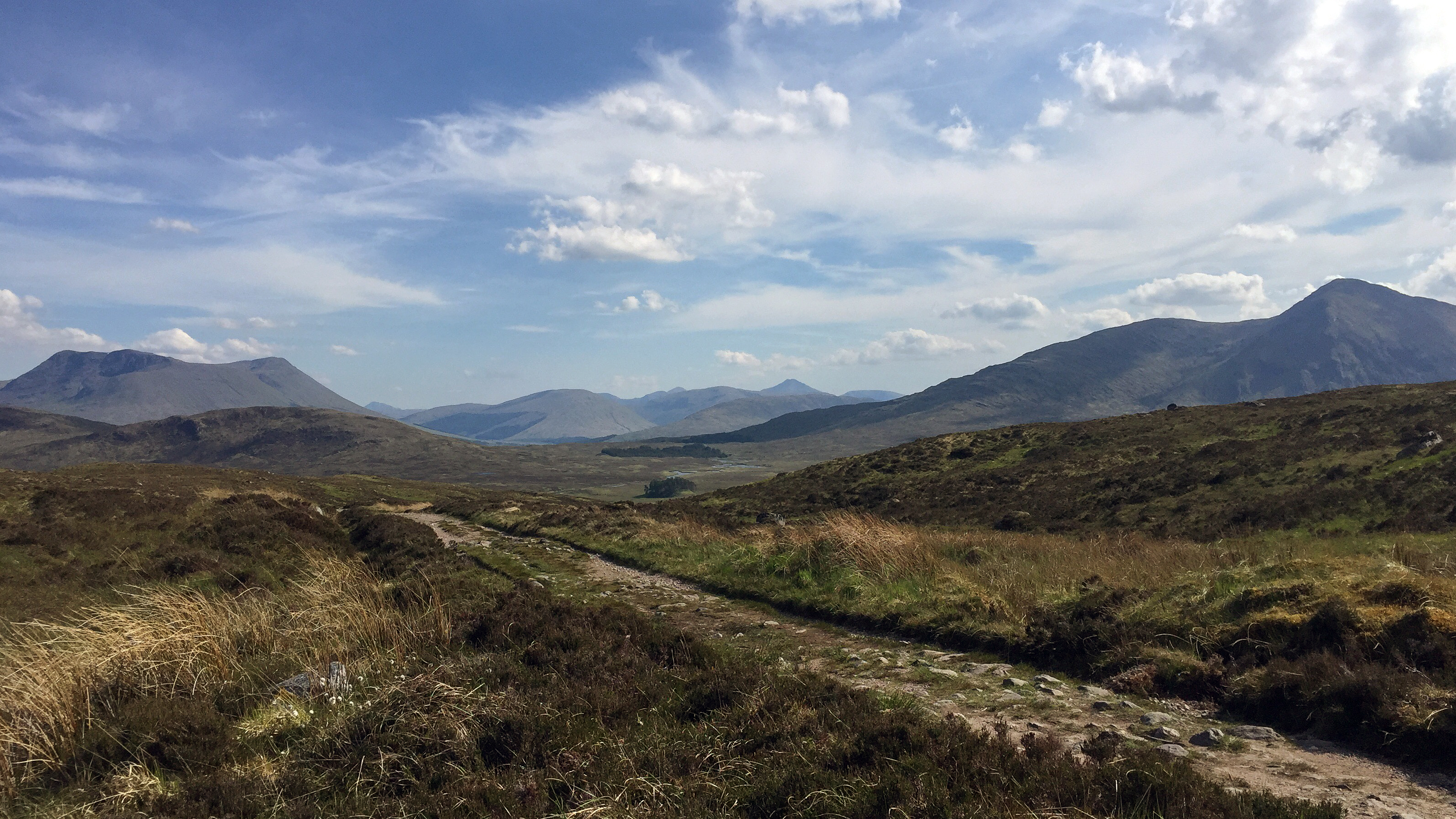 Day 6 - Rannoch Moor and Glencoe
 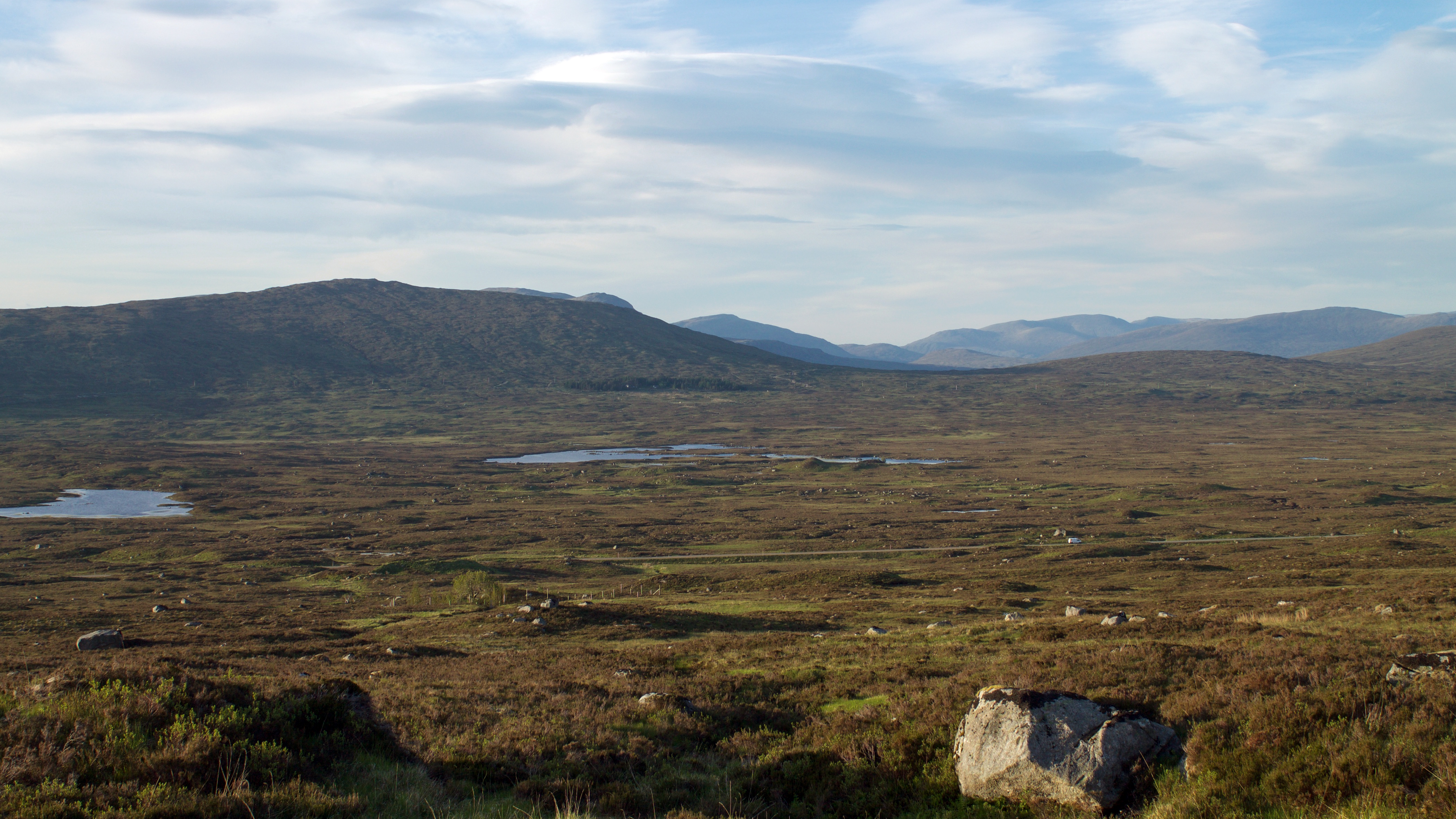 Day 6 - View from out my tentDay 7: Glencoe to Kinlochleven
Distance: 16km
Time: 7:15 (07:30-14:45)
Overnight: Campsite at MacDonald hotel
Up early this morning, in time to watch the sun come up from my tent door. Still clear blue skies and the first time this week that I was able to pack away a fully dry tent! I was keen to set off early today with heavy rain forecast for the afternoon, but seeing I was awake at 04:45 that wasn't too much of a problem. After slowly packing up I set off at 07:30 walking the short distance to Kingshouse where I stopped to fill up on water and also grab a quick coffee. The highlight of the early part of this stage is the view of Buachaille Etive Mor. The proximity to the busy A82 is not so welcome, but once at the bottom of Devil's Staircase at least it was time to head away from it.
The climb up Devil's Staircase was not big deal. Hot going in the sunshine and lugging my backpack up, but nothing too severe. Much rathered the climb up than the seemingly never ending descent into Kinlochleven, particularly towards the end on pretty loose rocks on steep downhill sections.
I walked the last section into Kinlochleven with two of the people I'd met back in Drymen. We were all looking forward to an early finish in Kinlochleven and grabbing some lunch at the walkers bar at the hotel. After lunch got the tent set up for the last time, grabbed a short snooze, then headed back to the bar for the evening.
 Day 7 - Sunrise from the tent door
 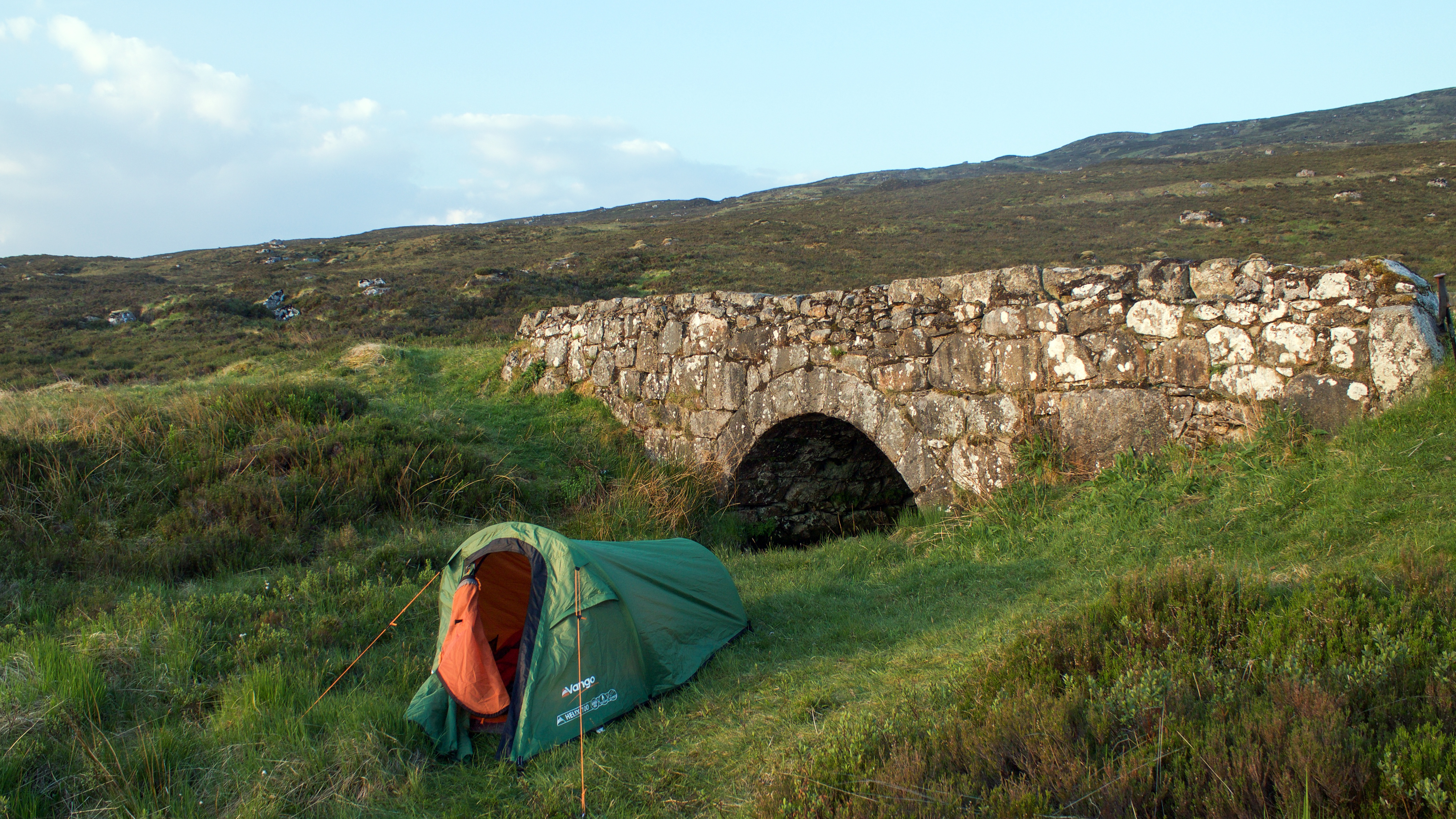 Day 7 - Tent in the morning
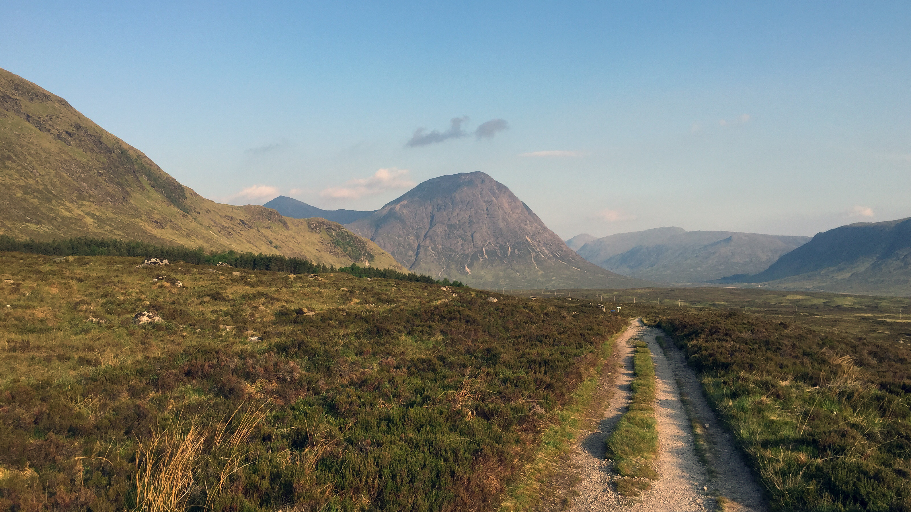 Day 7 - Buachaille Etive Mor comes into view
 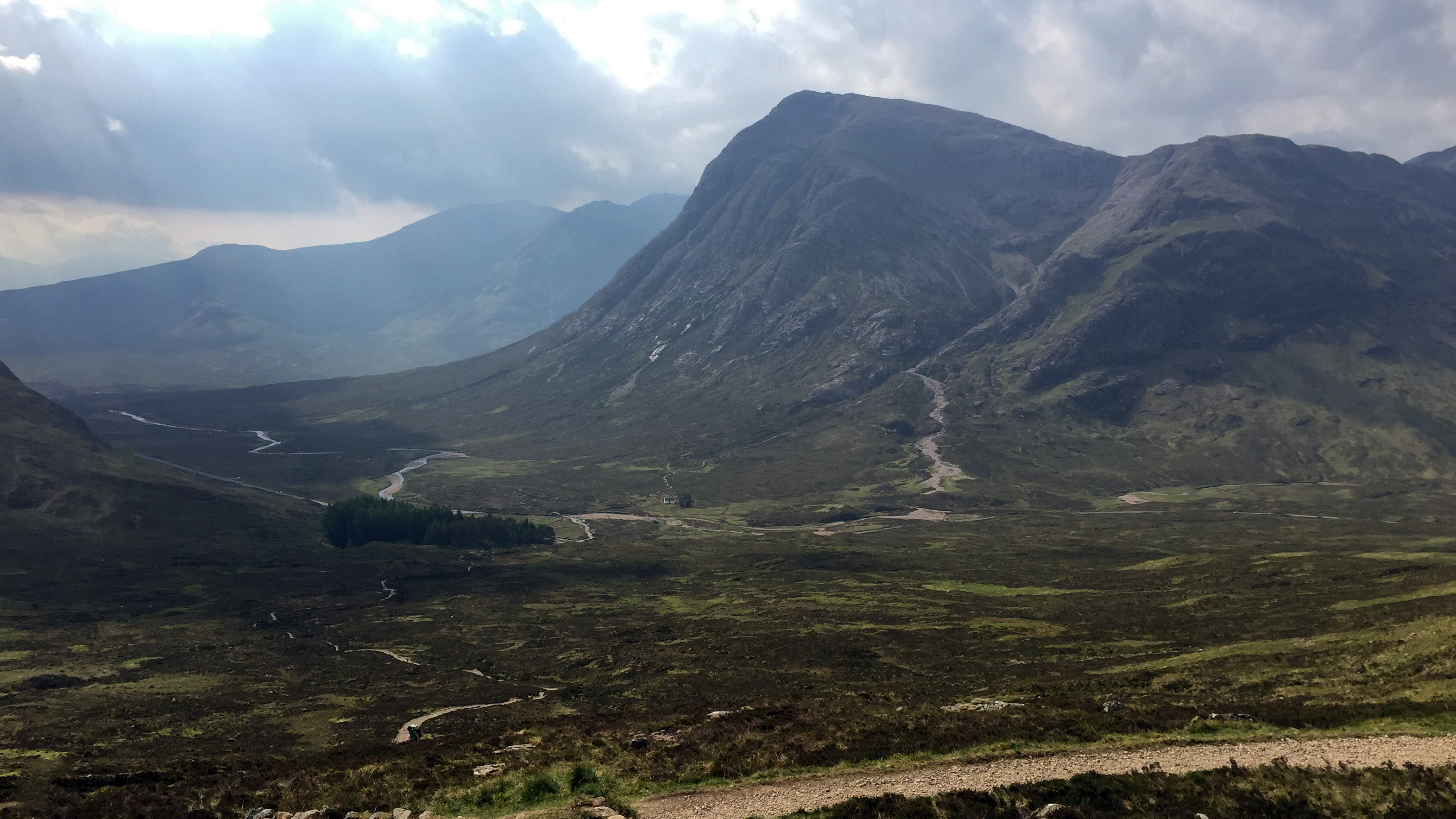 Day 7 - Looking back down Devil's Staircase
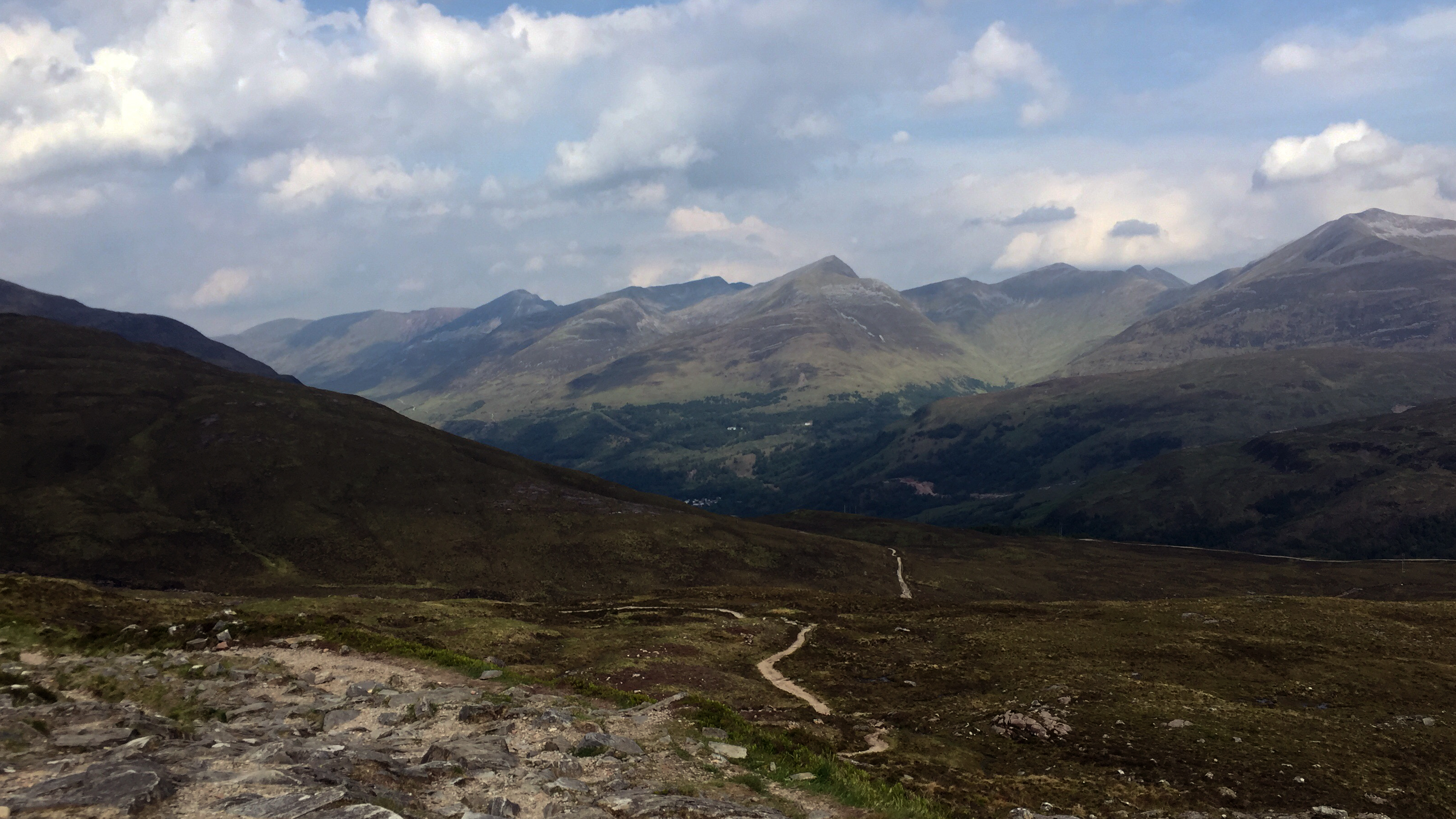 Day 7 - The long descent to KinlochlevenDay 8: Kinlochleven to Fort William
Distance: 24km
Time: 7:00 (08:00-15:00)
By far the worse night in the tent, I must've chosen a particularly uncomfortable pitch. The mat will be going in the bin! On the plus side I'd booked a breakfast at the hotel, so enjoyed a small feast before setting off.
Straight into a climb this morning and got into a steady pace again for the uphill section. Once up and things had levelled out I ended out really enjoying this part. A really great stage walking through the lairig towards Fort William. The walking was easy, the paths were good and the weather was cooler than the past few days. Also, it was nice to be away from roads and railway lines.
It seemed much busier today and more unfamiliar faces around. Not sure if there were some extra weekend walkers who joined us, or just everyone had set out pretty sharpish to get to the end in good time. Stopped for some lunch just before the freshly cut down forest works. The last stop of the journey - once I got moving again I wouldn't stop until the end. Ben Nevis was now in sight. The section through the newly cut down forest seemed to drag on a bit, but on reaching the wide smooth track and heading downhill I caught a glimpse of my old secondary school off in the distance (I lived in Fort William growing up, and the family are still there) and I realised I was on the final stretch at last. I enjoyed the long downhill run on the forest tracks, nice gentle gradient and kept up a good pace. Looked like I'd be arriving a bit ahead of schedule.
Before I knew it I was on the road in Glen Nevis, old familiar turf having walked, cycled and driven around these parts many times before. Being so familiar with the area meant it didn't feel too long a walk along the pavements and up the High Street to the finishing point. Around 50m to go I met my dad who was waiting at the end. The whole last 7km or so was a bit of a blur to be honest, where I just focussed on ignoring the blisters on my feet and keeping a good pace to the finishing line, where I collapsed onto the bench.
Later, after grabbing a quick shower at my sister's house, I met up with the rest of the family for something to eat at the pub next to the finishing line. Sitting by the window we had a great view of the steady stream of finishers, including the occasional familiar face. Before doing this trip I'd probably have thought nothing of these stream of people stopping and taking pictures there. I am much wiser now

.
 Day 8 - Climbing up above Loch Leven
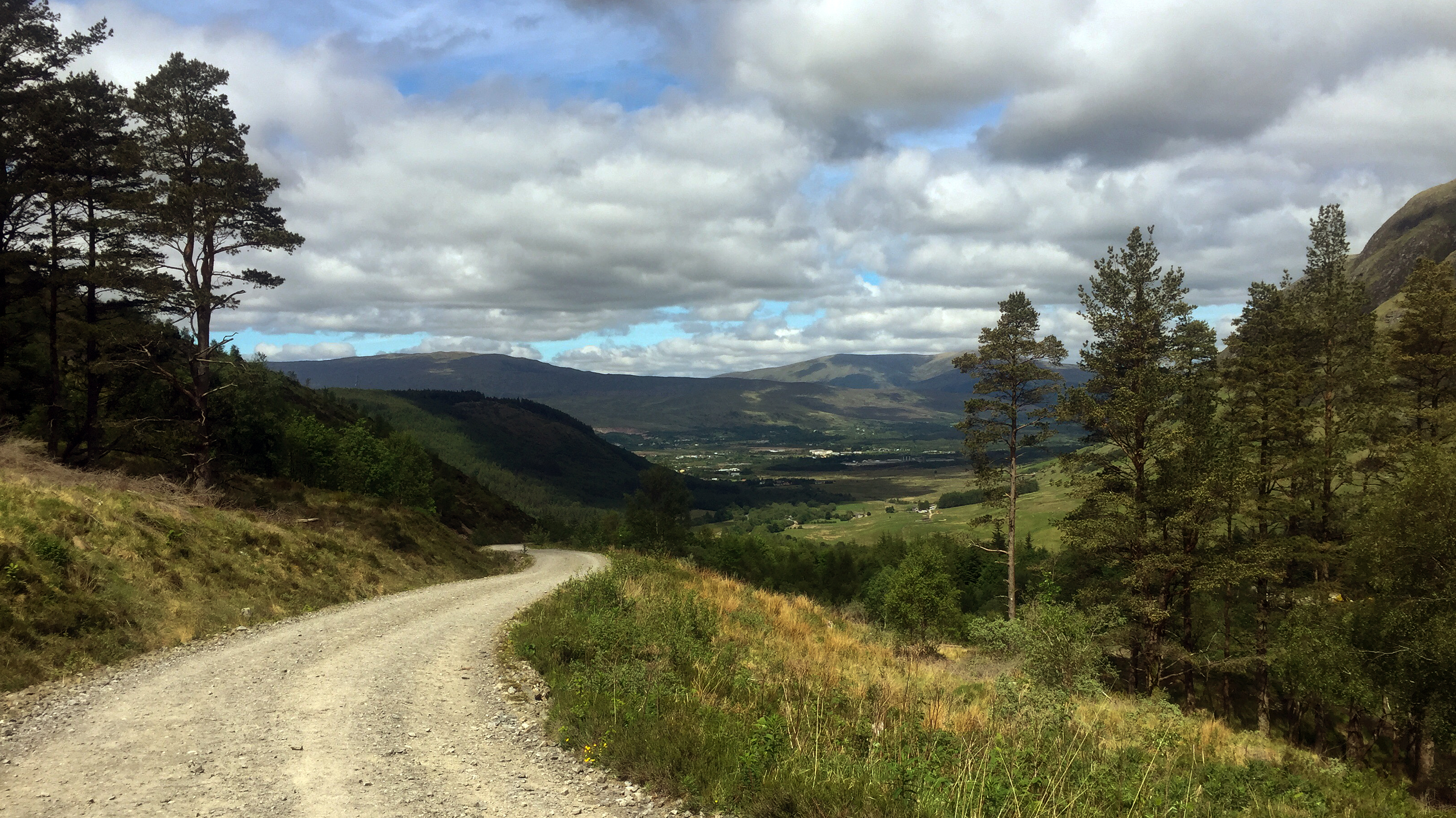
 Day 8 - Through the Lairig
. Definitely one of my favourite parts of the entire way.
 Day 8 - Starting the descent to Glen Nevis
. My old secondary school now in sight and I knew the end was not far off.
 Day 8 - Arriving in Glen Nevis
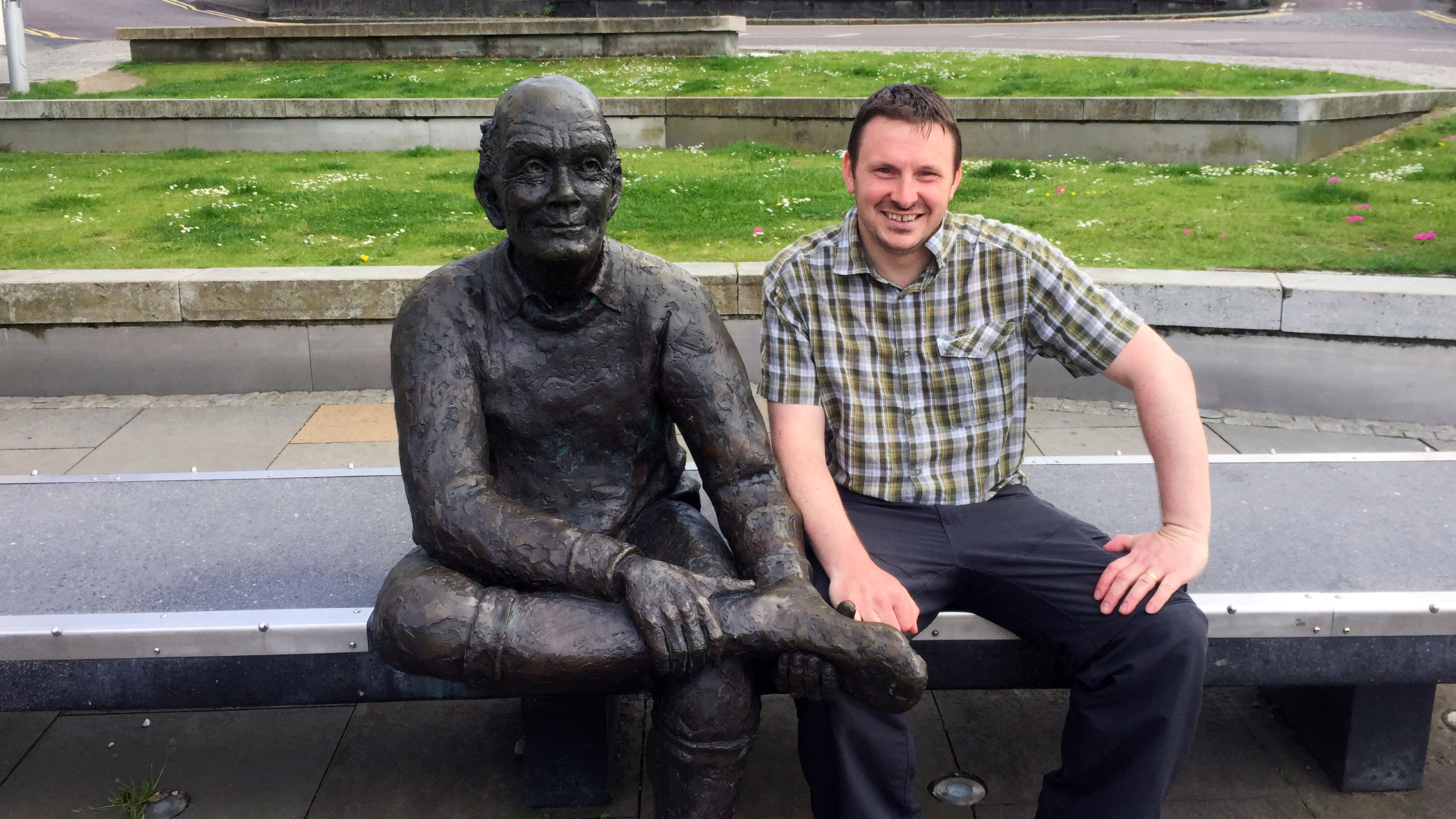 Day 8 - Compulsory end of the way photo
. I may not have gotten the photo at the start of the way, but got this one at the end at least.
EpilogueThe trip had a number of highs and lows. Looking back it is mainly the highs that come to mind and I'm not put off the thought of doing another long distance walk in the future, whenever I can find the time. The high points of the week were Tyndrum camping cabin, Beinglas campsite, walking through the lairig from Kinlochleven to Fort William, wild camping in Glencoe, the crossing of Rannoch Moor and sat on the shore of Loch Lomond. They all remain with me. The lows of my evening stuck in the tent hiding from midges in Sallochy, the pain in my feet and back after Rannoch Moor, the never ending last 4 km to Beinglas seem a distant memory already.
On a couple of occasions I did think of giving up early on. I knew I would regret it if I did, and didn't know what I'd tell the kids when I got home if I did. Glad I stuck with it!
