free to be able to rate and comment on reports (as well as access 1:25000 mapping).
]
Day 3 - The first of the long days acros the Galloway hills, this one takes you across the low hills from New Luce to the tiny village of Bargrennan. I was looking forward and slightly Apprehensive of this day as it was the first really long day, my normal walk legth is 12 to 13 miles not the 18 to 19 for today and if i didnt complete this one I wouldnt be able to complete the 20+ mile days over the next week.
The weather dawned bright sunny and clear with barely a cloud in the sky again and the cuckoos had me awake form 4am as they called around the forest in our static caravan in Bargrennan campsite.
Cath was kind enough to drop me i the same place on the minor road outside New Luce and I watched her drive away and i turned and headed up the minor road climbing gradually uphill to where the tarmac ended at Balmurrie farm.
It was extremely quiet with no-one about in the fields except for a few sheep and birdlife.
 The Road goes ever on and on,
Down from the door where it began.
Now far ahead the Road has gone,
And I must follow, if I can,
Pursuing it with eager feet,
Until it joins some larger way
Where many paths and errands meet.
And whither then? I cannot say.

 Balmurrie farm had a lovely garden
From Balmurrie Farm the way heads across a moor on a track before taking to the moor proper with a waymarked walk across a pathless fields, with the waymark posts sticking above the tall grass, navigating from post to post over the side of the rise, new duckboards crossed what i suspect would be wet bits but with the blue sky and sun beating down they were very dry.

 looking back towards Balmurrie farm, what a blue sky
 the route through moor land pasture climbed up to crest a ridge and the forest opened out before me. at the top of the rise there was an information board with explanation of how the land hs been used over teh past 10000 years with changes in climate and points out the stone barrow of Carn na grath. across the valley, i took it to be quarry waste when i saw it but it is a iron age barrow, very interesting board, the best ive read for a long time. but couldn't tarry so onwards to the forest.
 waymark posts just about visible above the long grass
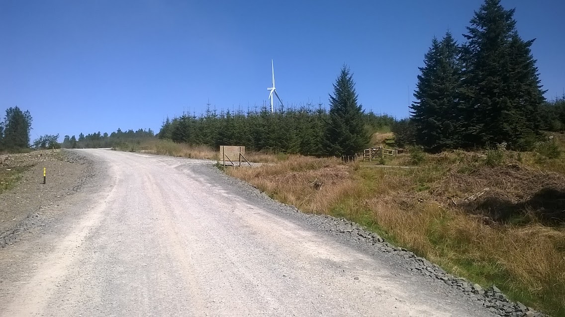
 original windfarm on balmurrie fell to the right, new one to the right
The cicerone guidebooks complains about the windfarm on the adjacent Balmurrie fell saying that walkers prioir to 2004 had it lucky, the author will be sickened to see a huge one being erected all over the next plantation with the turbines double the size of the original one, personally I dont mind them and would much rather this be our source of energy than the coal fired power stations that i see on the banks of the Aire and trent back in west Yorks.
 duckboard crossing with a large crane on the skyline
 looking back to wards Balmurrie farm and across to the Rhins of Galloway
 The new much arger windfarm was to be my companion for the next 7 miles
Onwards into the woods with the new turbines looming over the trees headless currently, like the BBC tripods or HG wells War of the Worlds.
the path through the ride between the trees is clear and again dry when the moss shos it is usually very wet.
Across purgatory burn (how did that get its name?) then a gentle climb along the ride passing a ruined bothy and enclosure and onto a forestry track, a huge one, I assume for the construction vehicles for the wind farm, crossed this and followed another one heading for the Beehive bothy.
 Into the woods
 The bridge over Purgatory burn
 Approaching the new track for the windfarm construction
 The way follows some wide forestry tracks with the new windfarm looming over the felled plantation
 Beehive bothy in a clearing, a lovely spot
The new construction tracks pass close behind the bothy which is in a lovely tranquil spot. checked the bothy book and a pair of runner had been the last visitors, scoping out the SUW for a new ultra marathon being run next year. Now i can walk 20 odd miles in a day but i cant run more than a mile without blowing up, these ultra runners are nutters. I sat at the Bothy and had my morning banana, before heading off along the ride to the Lergrannan standing stones.


From the stones the way crossed a burn but there is now a wide windfarm construction track that can be followed to where the way emerges from the trees and then follows an engineered path uphill heading to the wells of the Rees. with great views southwards across the moor. A cairn marks a high spot and then climbs up onto the ridge which ends at my second trig point of the walk at Craig Airie fell, which has magnificent views across to the Galloway hills which was tomorrows walk, the high point of the route so far. The route of the rest of the days walk could also be seen with the white trig point on Hill of Ochiltree.
 The wide windfarm access road, the way heads uphill through the gate on the right
 Signpost to the wells of rees, the cairn marks the way onwards
 The next destination the trig point on Craig Airie fell
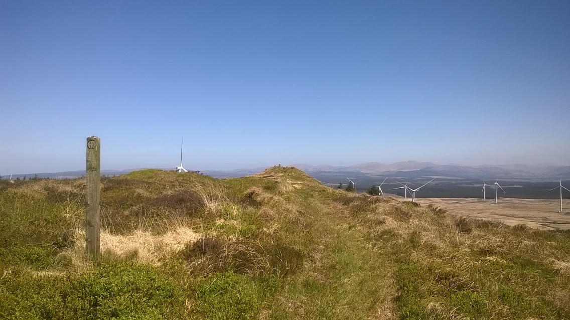

From the trig point the way descends steeply and joins a forestry road that leads past Loch Derry and eventually meets a minor tarmac road that to the tiny village of knowe, 6 miles of level walking.


 Looking back to Craig Airie fell
 At the bridge here at Tannylaggie bridge i was lucky enough to watch 3 cuckoos chase each other from tree to tree
 the road was blocked by two logging lorries clearing the felled trees but they stopped loading to allow me to walk past
 the tiny hamlet of Knowe
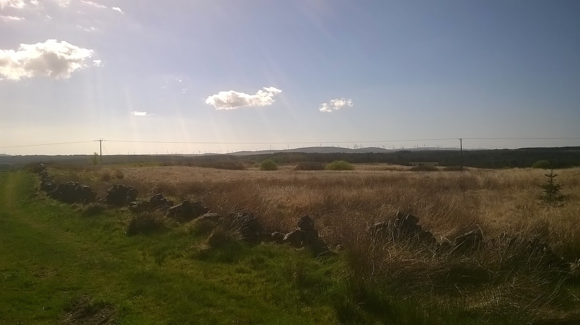
After crossing the bridge over the river the way turns left and heads along the edge of another plantation with lots of blown down trees then emerges onto a moor that on the OS map and satellite imagery is shown as forestry until it meets a minor road by Glenruther lodge which is shaded by several huge beech trees and the owner has erected a welcoming bench on which i rested my weary feet after 14 miles, only another 4 &1/2 to go...
 Blown over trees. the topsoil over the bedrock is very thin giving no depth for the roots.
 The lodge and the very welcome bench
A mile walk along the minor road, no traffic passed me, in fact I hadnt seen another walker all day, then the way turns off the road to climb to the white trig point on the Hill of Ochiltree and then crosses the moor and a horrible section of rough pasture that the cattle had turned to ankle damaging holes. to rejoin the same minor road, then a last section across a low moor/ bog to reach the A road at Bargrennan and my home for the week at the camp site.
 looking back to the wind farm and Graig Airlie fell now 8 miles behind me
 the white trig on the Hill of Ochiltree
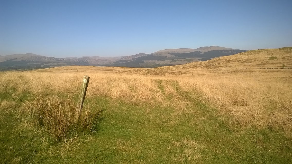

 End of the stage at the bridge over the waters of Cree
A long and very hot day but made it, the long track and tarmac section fro Craig airie fell to knowe was tedious and I used my counting steps technique to keep the legs swinging. but was rewarded with watching the cuckoos and a short chat with an old woman who was tending her garden in one of the cottages i passed.
An enjoyable stage of 18.5 miles and I was now confident i could complete the longest stage the next day.
Iain the bargee
