free to be able to rate and comment on reports (as well as access 1:25000 mapping).
Day 4 -The longest stage of the Southern Upland Way from Bargrennan to Dalry.
The cicerone guide says it is 23 miles, Ive measured it at 26.5 miles but only after i walked it.
After the long stage yesterday i was feeling pretty good and set my alarm so I could leave by 7am,
I left the carravan and strode the half mile back to the bridge over the river Cree with a spring in my step, I was looking forward to the few miles as it led along the river Cree and then followed the waters of Minnoch and then the waters of Trool up to Loch Trool and i'd walked some of this path last year and it was lovely.
I had left Mrs Bargee behind fast asleep but she had said she may join me at Loch Trool later on.
The first section was a narrow path following the River Cree. an enjoyable mile and a half through tall fir trees climbing and descending on the steep bank above the river.
The way turns away from the river and after crossing a minor road heads onto a raised engineered path that joins the waters of Minnoch and winds through glades and crosses pools, a beautiful section through the Brigton woods nature reserve.
 Leaving the road bridge at Bargrennan the way follows the river Cree
 the path is narrow and climbs up the bank above the river and passes through tall trees left when the plantation around was cleared
 way crosses a minor road by this bridge over the river Cree
 River Cree
 the way turns away from the river and crosses an undulating landscape of felled plantation
 Crossing into Brigton woods


 The house at Holm
 the bridge at Holm
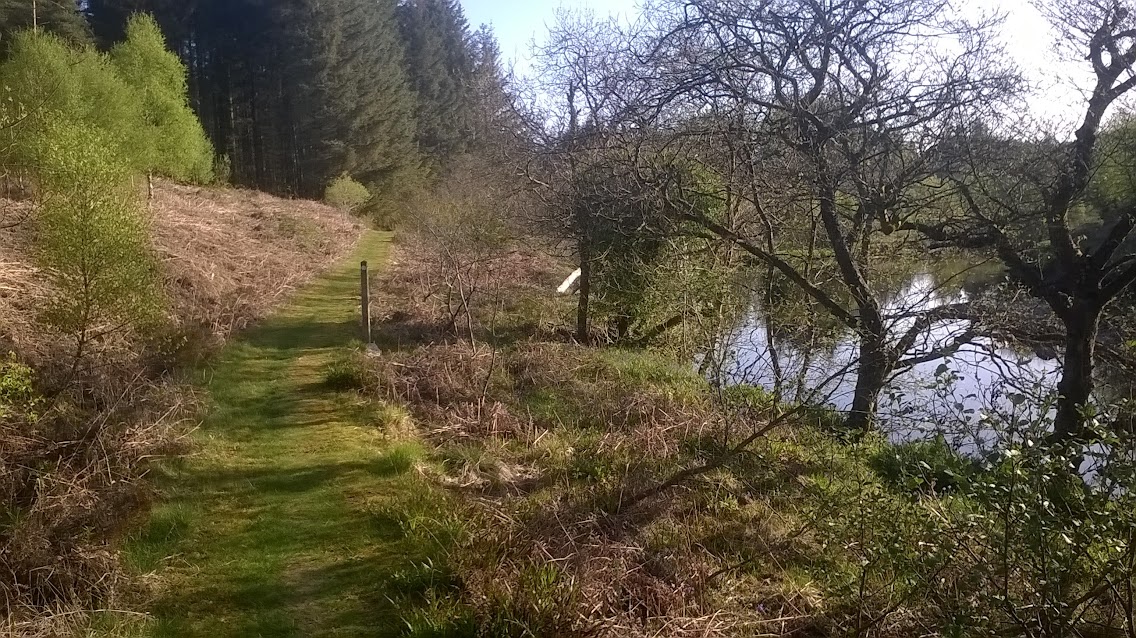
 the water of Minnoch
I crossed the river at a bridge near the house at Holm and followed the east bank up further lovely stretches of river to the twin bridges of Trool. and through low lying land that floods during the winter that leads past a covenenters grave to the information shelter and car park at the east end of Loch Trool;


 the twin bridge of trool, is a footbridge over the gorge that the water of trool flows through.
 The engineered path through the swamp meadows
 The gravel path passes through young birch trees
 the martyrs tomb
At the east end of Loch trool the way passes through the closed camp site and I spotted our car parked there and I knew Cath was somewhere ahead of me collecting the caches that are placed in a loop around Loch Trool. After a mile or so I caught up with her and we continued along the south side of Loch Trool together enjoying the lovely path and looking up at the high fells leading to Merrick.
Along this stretch we saw several other people walking the first people I had seen on foot since I left the coast.
 The closed Loch Trool campsite
 Last year this path was closed whilst forestry operations were carried out and we couldnt walk along here. This year it was open but the felled areas were very raw
 Caught up with Mrs Bargee
 looking east up Loch Trool
 The summit of Merrick, there's a good report of climbing this by mountainlove I must come back in the future and climb it.
 looking back down Loch Trool
 heading up to the pass over to Loch Dee and Black Laggan
 At the bridge, Cath left me and returned to the car completing the circuit round Loch Trool.
Splitting from Cath ended the first section of the day and getting to the end of Loch trool was 9 miles in but looking at the map I still had a long way to go. the next section was over the pass to have lunch near the bothy at White laggan and find the remote geocache at the ruined black Laggan farmhouse.
The guidebook recommends a path on the North side of the river that climbs to high level but I decided to follow the wide vehicle track which the guidebook says in boring bu I decided that with over 14 miles so i thought as the time to go id take the easier option.
As soon as i left the Glen trool circuit path only saw one walker in the far distance on the banks of Loch Dee and two forestry workers cutting timber on the shores of loch clatteringshaw, accompanied by cuckoo calls I headed upwards trying to keep a good pace up in the sunshine and admired the high slopes above me with water running over bare rocks at time.
cresting the rise Loch dee opened up in front of me and I yomped down to my lunch spot at the Black Laggan farmhouse. Amazing remote place.


 The track got steep in places
 Last view back down Glen Trool
 Over the top of the pass and Loch Dee comes into view
 White Laggan Bothy comes into view
 Lunch spot overlooking Loch Dee
Section 3 of the day, From Loch Dee the track went onwards and on and on, it got hardwork keeping the legs swinging over the next 6 miles to the tarmac road beyond Clatteringshaws Loch. The walking is easy along the forestry track and the plantation has mostly been felled so the views are of the hills around and lots of scrub and stumps.
not many photos of this section just a couple to give an idea of the area.


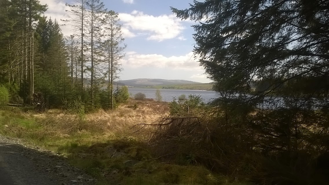 Clatteringshaws Loch
The way meets the minor road at 18.5 miles and this is the first location i could have been collected by Cath if i wasn't feeling good,
There is a sign here saying SUW pick up point and the guide says you could arrange for your B and B to meet you here to break up the day. I carried on, only 5 miles to go so i thought.
The next section was through more plantations some felled some still standing but finaly on a softer narrow path over Shield rigg to descend down the glen of the Garrock burn and followed the track and tarmac road towards Dalry. Cath met me in this glen, just checking up on me and offered to take me away and rest my feet but i was determined to complete the stage and prove that i could walk 23 miles.
The first bit of tarmac since crossing a minor road at mile 1 this is mile 18.5 of todays stage after a few hundred metres i was back off the tarmac and off into the woods again, grassy path though, Bliss after all those miles of gravel
 the way passes through what in a normal scottish season would be a bog through mature trees to emerge onto Shield rigg
 descending off shield rigg towards the Garroch Burn at Hen Craig
 Back onto the gravel
 The road turns to tarmac and winds down the valley
 passing some nice houses
 crossing a small bridge over the Garroch burn
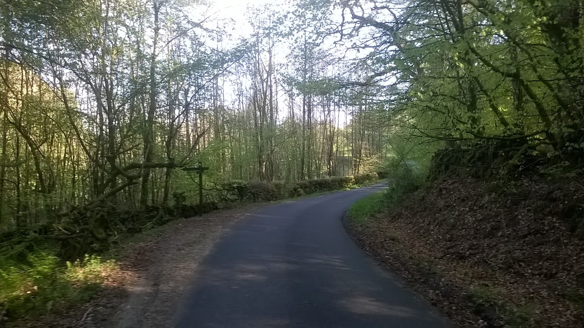 before turning off the road and dropping down back to the burn and crossing on a footbridge
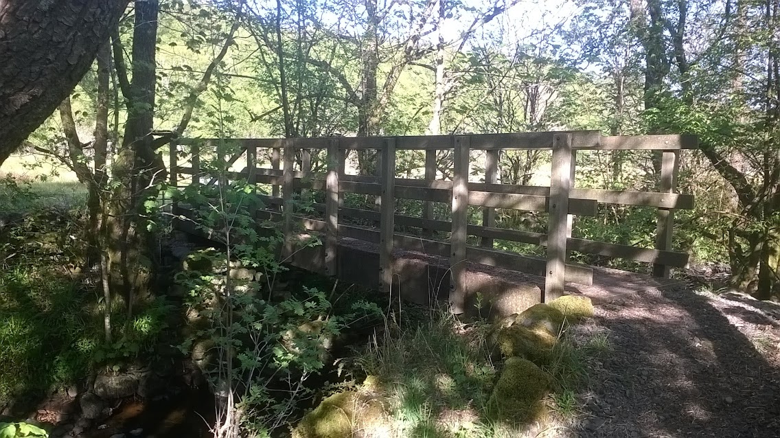
 Crossing a boggy field
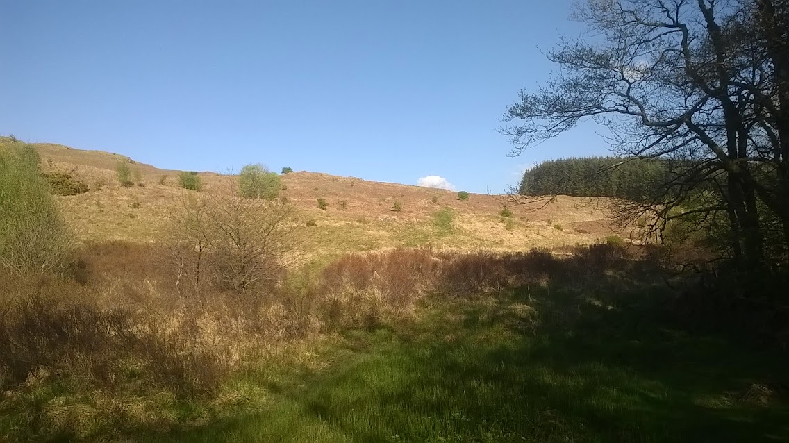 and then the evil sting in the tail of this stage the climb of Waterside hill, which felt very lakeland
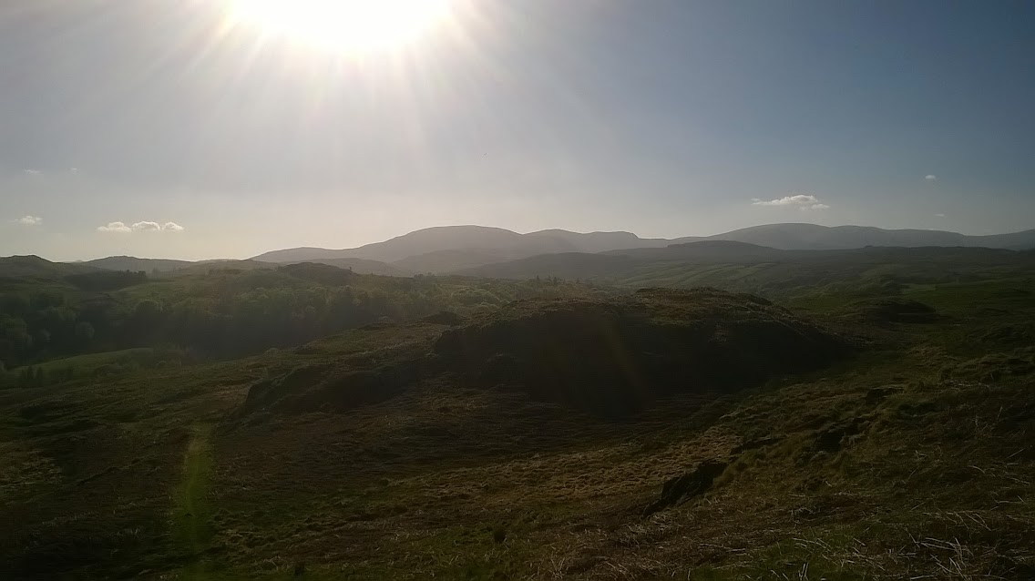
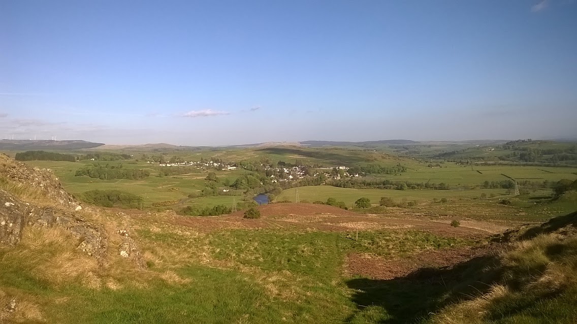 Dalry finaly comes into view, a short stagger downhill
 down to cross a road and walk across the flood plane of the Water of Ken
 To reach the Footbridge and the end of the stage
So I found out I can walk a marathon as the stage is 26 miles long , ill never be able to run one, Quite chuffed with myself and the feet were sore but after a shower that night i was feeling good.
A lovely, very remote walk, the highlight being the first 6 miles following the river paths up to Loch Trool.
another long stage tomorrow, I did sleep well after this stage.
Iain the bargee

