free to be able to rate and comment on reports (as well as access 1:25000 mapping).
Day 3 - Lossiemouth to Buckie
the longest of the three days with 16 miles which satrts first with 7 miles along the beach from Lossiemouth to Kingston at the mouth of the Spey then after crossing the Spey via the old railway bridge the trail joins woth the Speyside way to head along the coast road to Buckie.
The first half of the day was brilliant, the second half after crossing the spey was tedious especially avoiding the golf course in the woods and along the coast road through Portgordon and Buckpool, apart from the seals on the beach near portgordon which was amazing.
but first we had to cross the River Lossie and get onto the beach.
 The view from our b and B, Buckie can be seen as a smudge on the far headland, looking forward to walking the sand this morning
 The footbridge over the River Lossie the only way to get to Lossiemoiuth east beach
 Lossiemouth and our Band B
 ready for a day walking the beach
 the horrible soft sand, quickly crossed to get t the harder wet sand easier to walk on
 the beach stretches out on front
 selfie with Lossiemouth behind
 a driftwood sculpture that i passed as i headed into the dunes to find a geocache
 Back on the beach after the geocache diversion and Cath had left me behind as the beach narrowed and got steeper, the higher area was now a steep shingle bank, but we decided to stay on the sand as long as possible
 lossiemouth still in sight behind
 eventually the beach got steeper and we had to climb the shingle and head for the track between the shingle banks and the dunes.
 The track at the back of the shingle was hot hot hot as there was no wind and the sun had burned off the early high cloud and no shade, Tank traps and pill boxes from WW2 defenses lined the track for the next few miles, hundreds of concrete blocks


 along this section we met the only other walkers on the trail, a guide and his client walking the trail the other way
 the way steps further inland to walk along the back of a firing range and the better track that was followed to Kingston on the edge of the Spey estuary
At Kingstown, 8 miles along the beach ,the trail follows a path round through the houses and climbs a short rise to go through fields, we stopped at a convenient bench and had a break, drink and sandwich and were assaulted by a pair of horses who wanted our sandwich

, To reach Garmouth where it joins the old railway and crosses the Spey on a superb bridge which also carries a cycle path.
The geocache on the bridge had, luckily for us, just been found by another pair of cachers so i didnt have to search the steelwork for it. Bonus. Cath left me to chat with them and found a seat on the far side and waited for me.
 Into Kingston
 Footpath out of Kingston
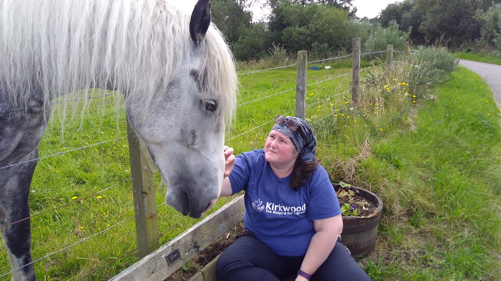 the horse who disturbed our lunch
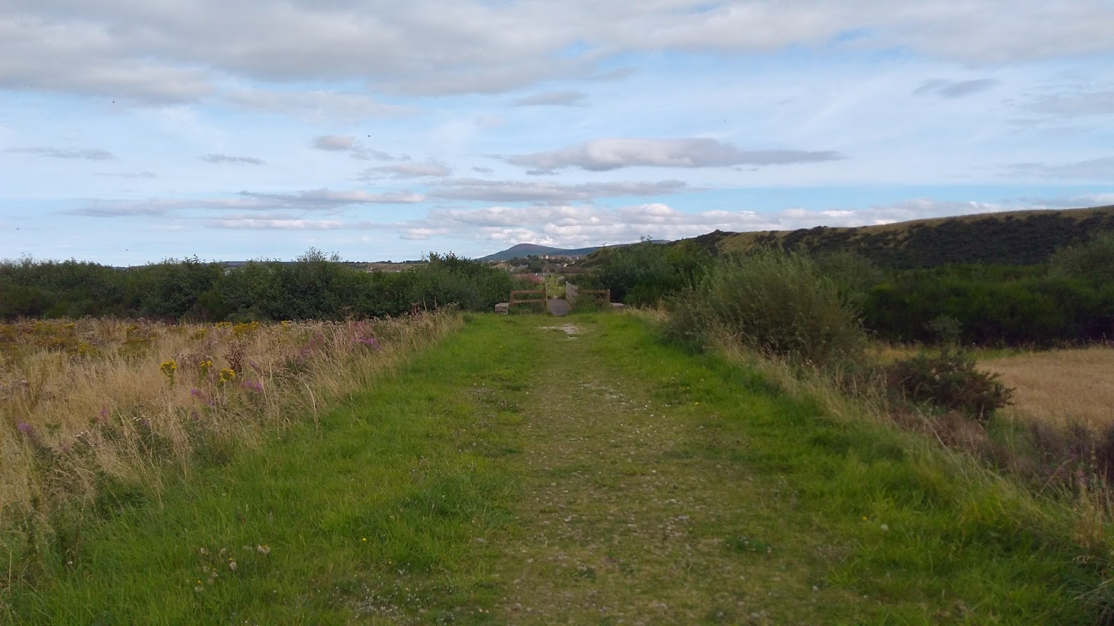
 climbing an old coastal cliff now half a mile from the sea
 a lowland coastal trig
 walking through Garmouth
 Onto the railway and the bridge over the Spey


 superb railway bridge
From the end of the bridge we didnt follow the way and walked onwards to the end of the cycle way and turned up the road skipping the village of Spey bay. an overgrown section leads into a path through scrubby fir trees that bordered a golf course and an industrial estate with lots of plastic rubbish caught in the brambles and undergrowth. exitingback onto the old railway line to head towards Portgordon. then along the coast road to Buckie an viewing the seals beached on the bay


 The railway is then built over and the way which is also now the speyside way joins the road through Portgordon
 Porthgordon main street
 beyond Porthgordon the path follows a strip of land between the road and the sea
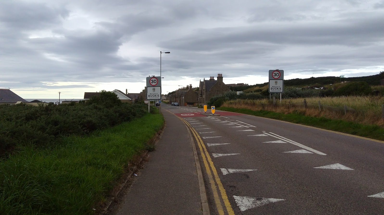 To arrive at Buckie
 A helpful sign on the pavement, we worked out left over from an ultra marathon along the speyside way a few days before
Round the corner was the final ramp up over the old railway bridge to get up to Buckie town centre and a short walk to our excellent B and B at the Rosemount hotel which had a Spa bath tub which was most welcome to ease my sore legs, a great curry at the Bengal Brasserie rounded off a good days walking.
