free to be able to rate and comment on reports (as well as access 1:25000 mapping).
Enough time and fitness for a short walk and I recalled this spot from my walk nearby in February. Bing aerial map confirmed that there is an interesting craggy eastern face, enough at least to motivate me.
Forty five minutes to get to the foot of the hill via the landrover track then a short stretch of rough ground before hitting the slopes. Pretty easy walking really, if a bit steep and a bit soggy in places. I was pleased though that I'd managed to tackle the steepest approach.
Quite out of breath about two thirds of the way up but I had been telling myself to keep going up and not too much side to side to try to test my sore knee, having been told there is not ligament problem and so to keep exercising it.
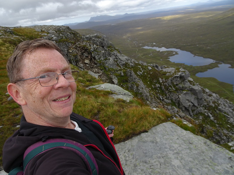
Once the dome angle eased off I found a bit more energy for the stroll along the cliff edge. A wonderful place really, way beyond my expectations with that view over crags to the paternoster lochs below and Bens Hope and Loyal drawing the eye to the horizon.
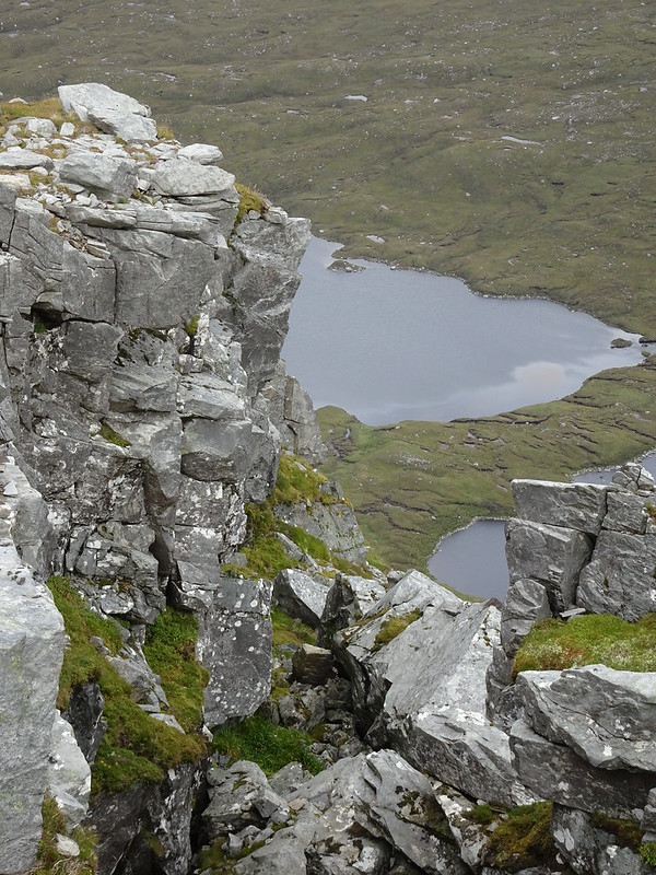
An interesting feature at the north end of the cliff edge is a thin slice of ground extending about fifty feet back from the cliff edge and bounded by two narrow, overgrown crevices:
https://binged.it/2g1vrvy Necessary to pay attention to foot placement here!
I then wandered over to the summit cairn which yields a fine 360 degree panorama and after that set off to reverse my upward route. If I'd had more time and fitness a horseshoe round A' Ghlaise looked a great option. Next time.
Didn't have too many knee problems on the way down so well pleased with that.
Just a short walk but got to be happy all round with the exceptional views and my knee managing fine.
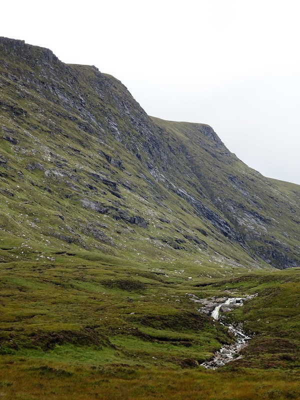 DSC02059c
 by
John Little, on Flickr
Impressive eastern slopes of A' Ghlaise.
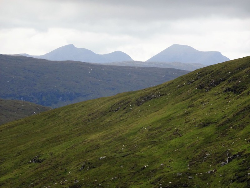 DSC02071c
 by
John Little, on Flickr
Zoom to Quinag from lower slopes of Meall a' Chleirich.
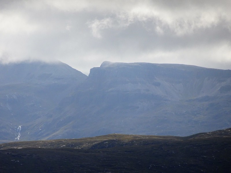
 DSC02078
 by
John Little, on Flickr
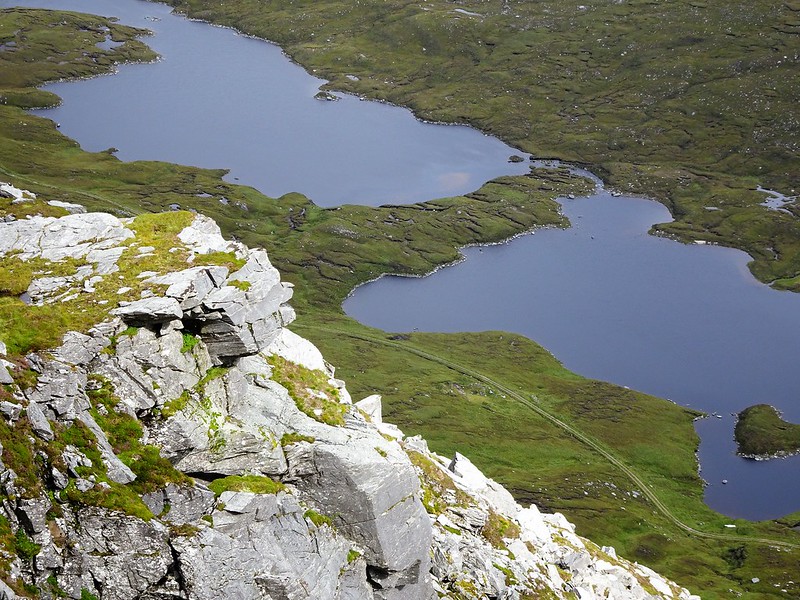
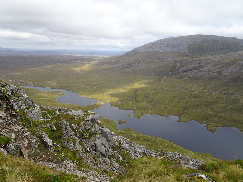
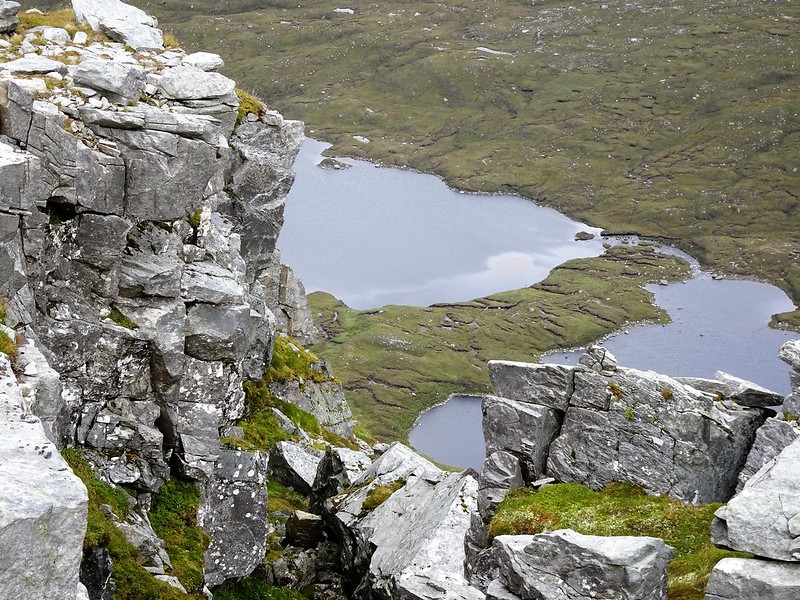
Sail Gharbh cliffs of Ben Hee left, the unnamed bump I visited in February right and paternoster lochs Loch an-t Seilg and Loch an Tuim Bhuidhe in front.
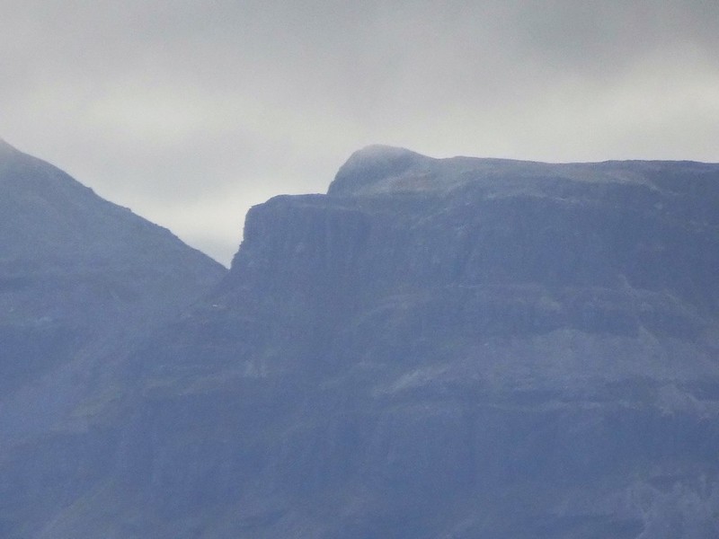
 DSC02084c
 by
John Little, on Flickr
Conival to the south west.
 DSC02085c
 by
John Little, on Flickr
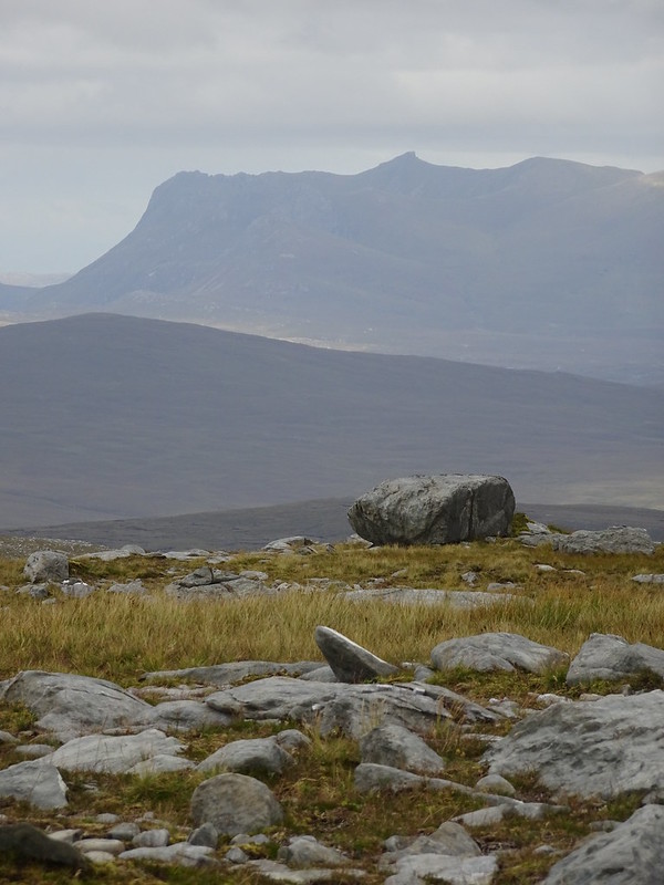
Possibly the 860m top north of Conival.
 DSC02097c
 by
John Little, on Flickr
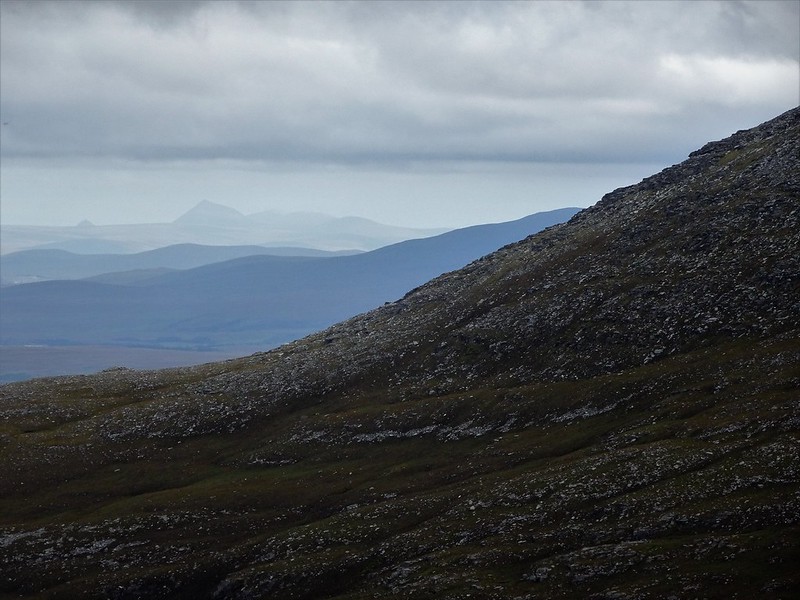
Bens Griam.
 DSC02104c
 by
John Little, on Flickr
Ben Loyal.
 DSC02105c
 by
John Little, on Flickr
 DSC02107c
 by
John Little, on Flickr
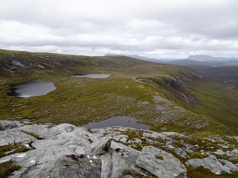
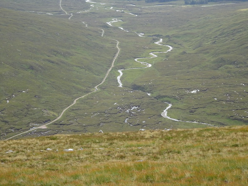
Bealach Meirleach twelve hundred feet below.
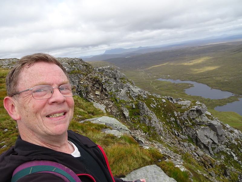 DSC02113
 by
John Little, on Flickr
 DSC02114c
 by
John Little, on Flickr
 DSC02122
 by
John Little, on Flickr
 DSC02127
 by
John Little, on Flickr
Ben Hee
 DSC02146c
 by
John Little, on Flickr
 DSC02150c
 by
John Little, on Flickr
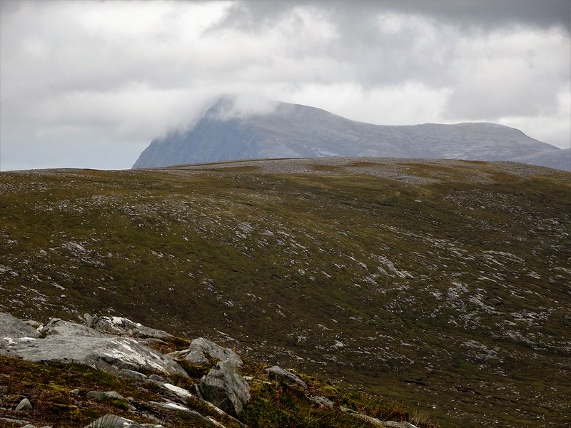
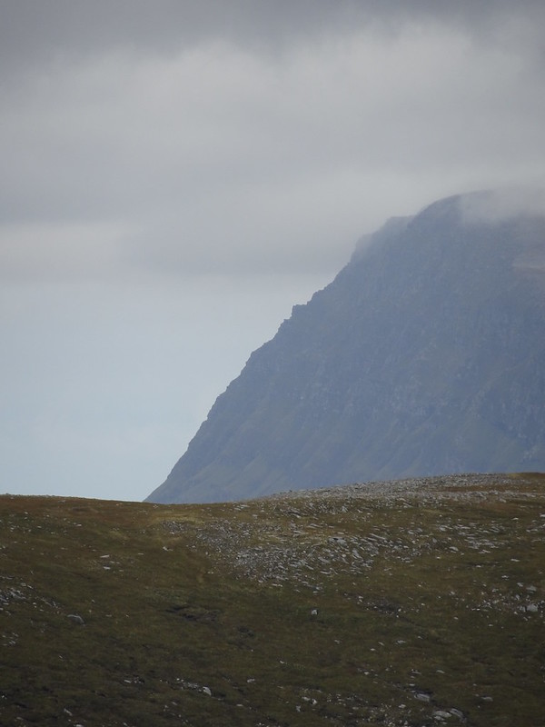
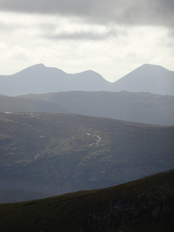
Ben Hope.
 DSC02154
 by
John Little, on Flickr
Looking back.
 DSC02157
 by
John Little, on Flickr
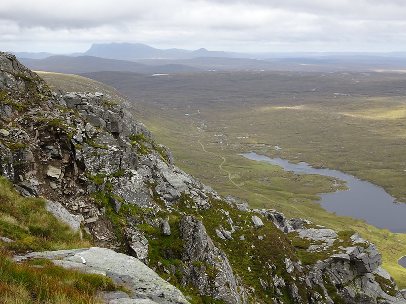
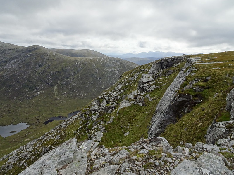
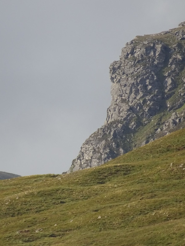
Looking over the battlements.
 DSC02158c
 by
John Little, on Flickr
 DSC02182c
 by
John Little, on Flickr
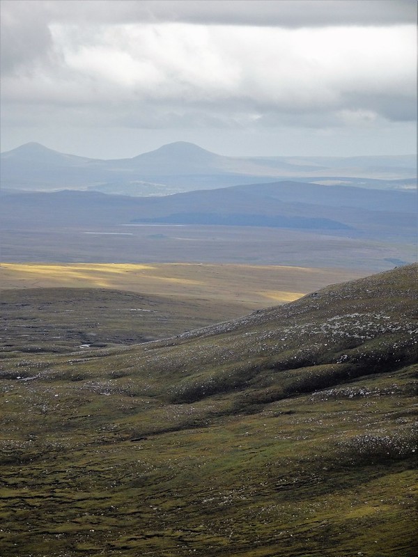
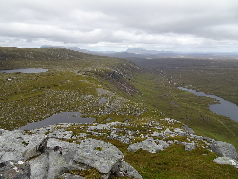
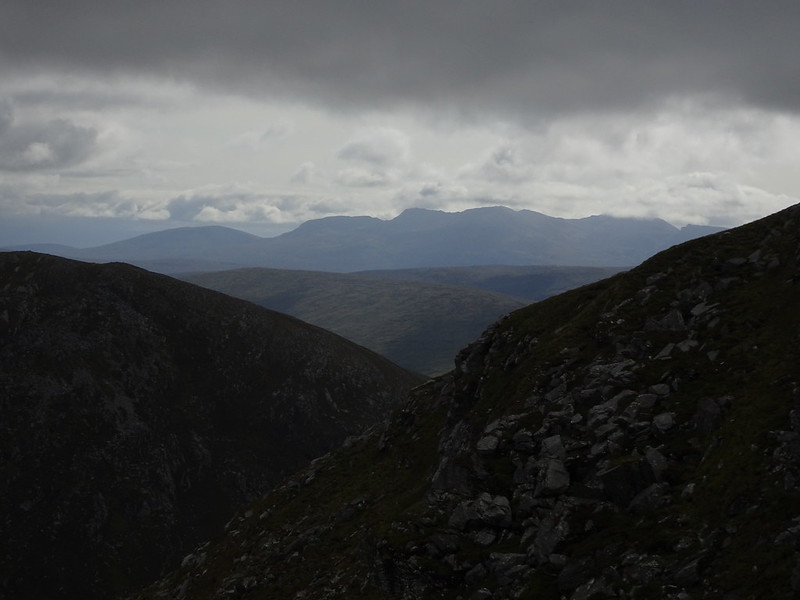
Hope and Loyal on the horizon.
 DSC02187
 by
John Little, on Flickr
 DSC02189c
 by
John Little, on Flickr
Morven.
 DSC02192
 by
John Little, on Flickr
 DSC02199
 by
John Little, on Flickr
Big hole in the ground.
 DSC02211
 by
John Little, on Flickr
 DSC02215
 by
John Little, on Flickr
Hope again.
 DSC02217
 by
John Little, on Flickr
Loyal.
 DSC02230
 by
John Little, on Flickr
Quinag.
 DSC02237
 by
John Little, on Flickr
On the way down.
 DSC02255
 by
John Little, on Flickr
Even more impressive crags on the west side of A' Ghlaise.
