free to be able to rate and comment on reports (as well as access 1:25000 mapping).
Arrived at the car park at Achallader at 07.30 on a clear, crisp and slightly frosty morning.
There were a few cars already parked up and a couple of younger lads were trying out a drone overhead.
Nice views already.
 Loch Tulla
 by
robert irvine, on Flickr
 Meall a Bhuiridh and Creise
 by
robert irvine, on Flickr
Walked along the track and passed the remains of the tower at the farm
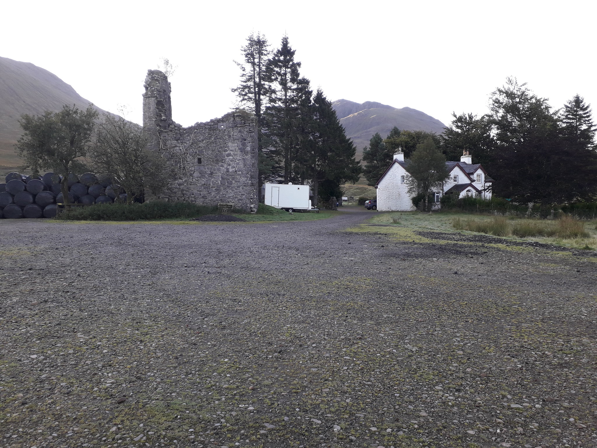 Old tower at Achallader farm
 by
robert irvine, on Flickr
Follow the track and cross the Allt Ur, not much water in it today.
First crossing of the Water of Tulla.
 Bridge over water of Tulla
 by
robert irvine, on Flickr
Carry on along the left bank for a couple of kilometres until you reach the remains of a bridge.
 Remains of bridge over water of Tulla
 by
robert irvine, on Flickr
If you don't fancy crossing this there is a nice spot to ford the river 100 yards upstream, weather conditions permitting.
Once across there is a boggy path to follow through the ferns around the edge of the ancient woodland and up to the underpass at the railway line.
 Railway underpass, watch your head
 by
robert irvine, on Flickr
Slightly boggy path runs alongside the Allt Coire an Lochain as you make your way up the slope.
Nice views all around as you gain height.
The WH route veers off to the left and aims for the notch in the ridgeline but I followed the stream all the way up to the Lochan a Chreachain, it really is a beautiful place and well worth the slightly longer route.
 Coire an Lochain
 by
robert irvine, on Flickr
 Coire an Lochain 2
 by
robert irvine, on Flickr
Turned left here and began to climb towards the ridge, through the boulders, out of the shade and into the sun.
 Lochan a Chreachain
 by
robert irvine, on Flickr
Once you gain the ridge there is a clear view of the summit.
 Beinn a Chreachain summit from ridge
 by
robert irvine, on Flickr
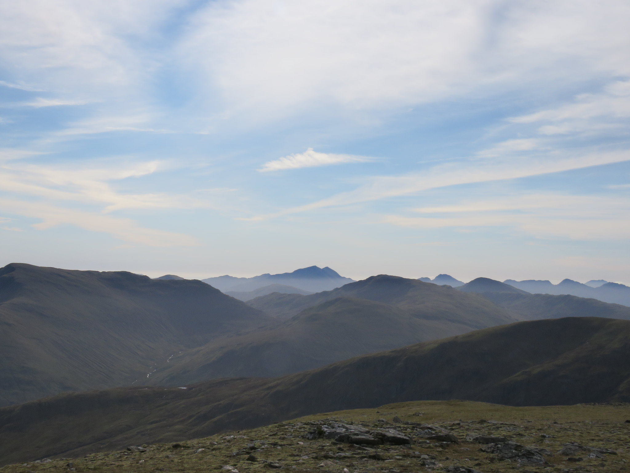
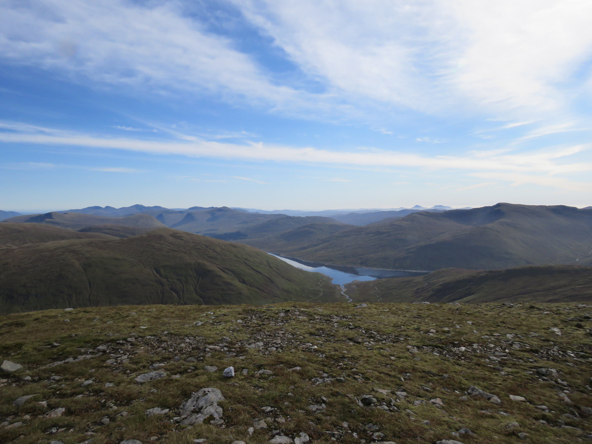
Nice walk up to the summit with fantastic views out over Rannoch moor and beyond.
Steep drop on right hand side into Coire an Lochain.
Views from the top were great.
 View from Beinn a Chreachain to Black Mount and Glencoe
 by
robert irvine, on Flickr
 Beinn a Chreachain view to Nevis range
 by
robert irvine, on Flickr
 Ben Nevis zoomed in
 by
robert irvine, on Flickr
 Loch an Diamh
 by
robert irvine, on Flickr
 Crianlarich hills in distance
 by
robert irvine, on Flickr
 Ben Vorlich and Stuc a Chroin
 by
robert irvine, on Flickr
 Loch Lyon
 by
robert irvine, on Flickr
 View to Beinn Achaladair
 by
robert irvine, on Flickr
Sat for a while at the cairn and had a bite to eat.
Leaving the summit there is a steep descent over stony ground and then an ascent up to the next ridge with a pleasant walk along to the top of Meall Buidhe with great views all the way.
 Grey Corries
 by
robert irvine, on Flickr
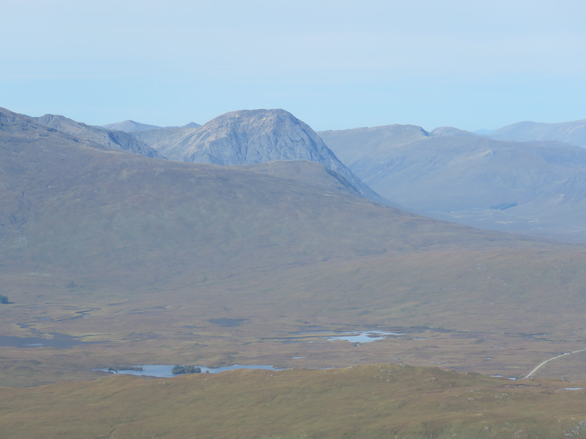 Stob Dearg (Buachaille Etive Mor)
 by
robert irvine, on Flickr
 Stob Coir an Albannaich
 by
robert irvine, on Flickr
A nice gentle descent follows to Bealach an Aoghlain before the steep part of the ascent to Beinn Achaladair.
 Beinn Achaladair (2)
 by
robert irvine, on Flickr
You need to use your hands in a couple of places but there is a path through the rocky bits and the gradient eases off quite quickly.
Nice grassy walk up to the cairn with a steep drop on your right hand side.
 Beinn Achaladair cairn
 by
robert irvine, on Flickr
 View back to Beinn a Chreachain
 by
robert irvine, on Flickr
 Loch Tulla and water of Tulla
 by
robert irvine, on Flickr
 Cruachan range
 by
robert irvine, on Flickr
 Loch Lyon (2)
 by
robert irvine, on Flickr
 Creise and Meall a Bhuiridh
 by
robert irvine, on Flickr
 Rannoch moor, Loch Ba centre
 by
robert irvine, on Flickr
 Loch Laidon
 by
robert irvine, on Flickr
 Nevis range turning greyer
 by
robert irvine, on Flickr
 Zoomed in
 by
robert irvine, on Flickr
The actual summit is a little further along the ridge but the position of the cairn gives you better views.
Leaving the summit you walk along a broad grassy ridge which descends gradually before rising again.
I detoured slightly to the right to avoid climbing all the way up to the top of the rise.
Then you follow a well defined path all the way down to the bealach above Coire Daingean.
At the bealach look out for the path heading down into Coire Achaladair.
 Descent path down Coire Achaladair, bit boggy
 by
robert irvine, on Flickr
Its a bit boggy at times and slippy through some of the rocky bits.
Once into the lower reaches of the Coire it turns into a bit of a quagmire.
The path follows the Allt Coire Achaladair all the way down to and over the railway.
 Railway bridge on descent
 by
robert irvine, on Flickr
Not far from the bridge there is a sign pointing left to the car park which takes you away from the farm and into very boggy ground.
There is a donation box for the Oban mountain rescue team just before the end of the path if you have any spare change handy.

Really good day out, nice walk and the weather gods were kind.
