free to be able to rate and comment on reports (as well as access 1:25000 mapping).
Here we go again, another chance to hit the hills so where are we going to go. We have restrictions in place so wherever we go we are going to have to travel independently.
The Borders are beckoning again so where to head? I suggested tackling 4 Donalds to the west of Carsphairn, Unfortunately George misunderstood which hills I meant, so he had downloaded a completely different route for different hills.
We agreed to meet at a layby near Elvanfoot on the A702 and then head SW, the 702 was fine but once we were on the B class roads it got rather bendy. I pulled into a small layby about 4 miles from the start point and we jumped into my car leaving the other 2 behind. I knew the lack of parking spaces would be a problem so parking one car would be safe and easier.
We finally started walking just before 10am on the easy stuff - tarmac.

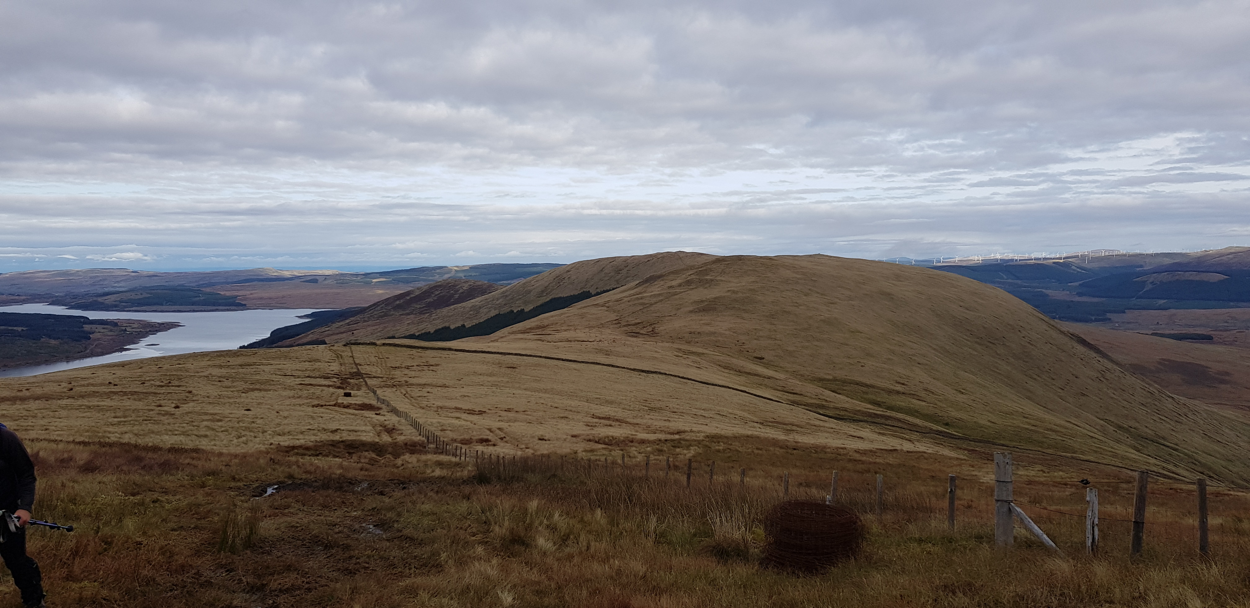
That is where we are heading

Nice tarmac road, then a good track - to start

Local blurb

Make the most of this, it is going to get a tad worse

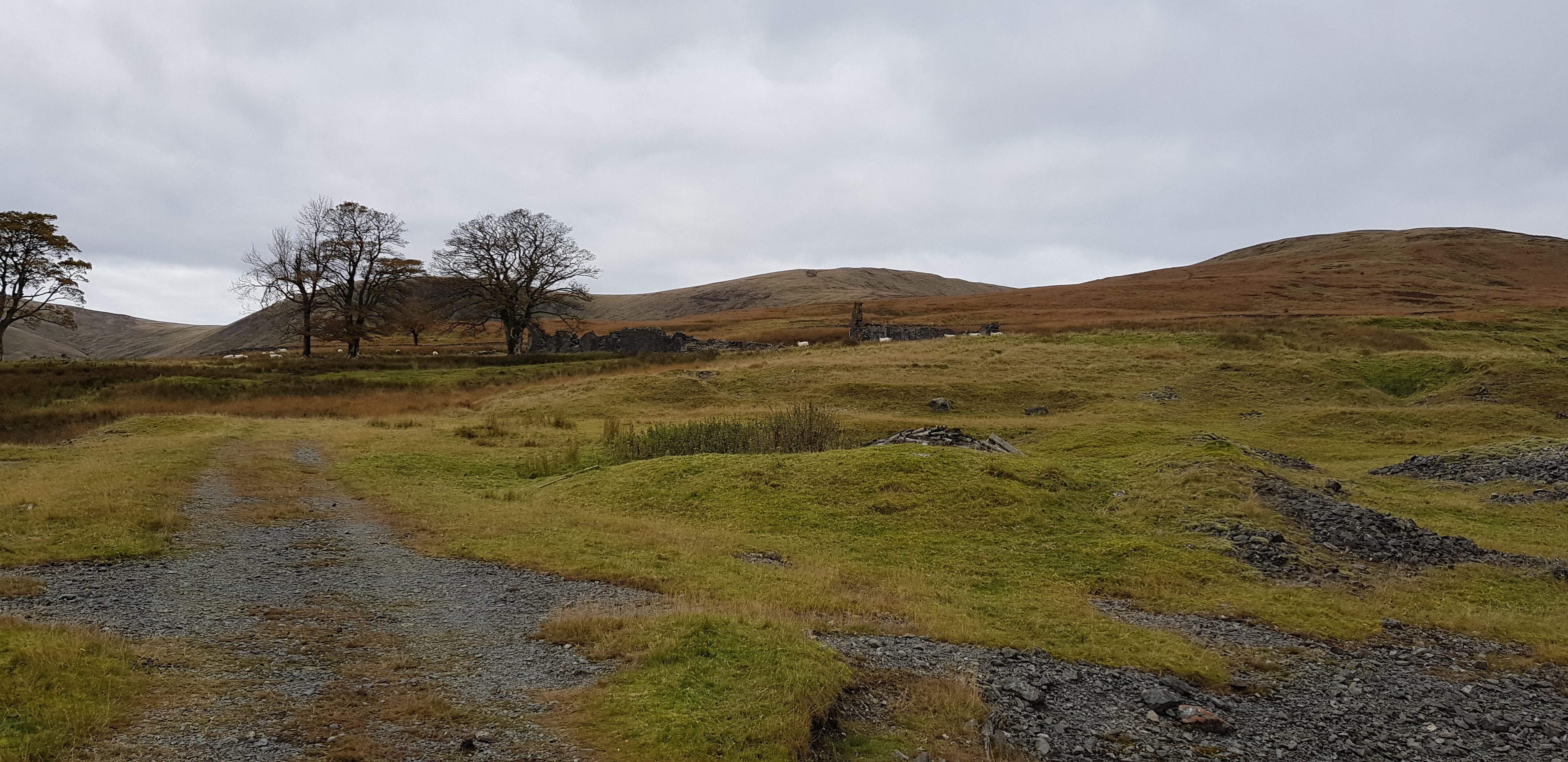
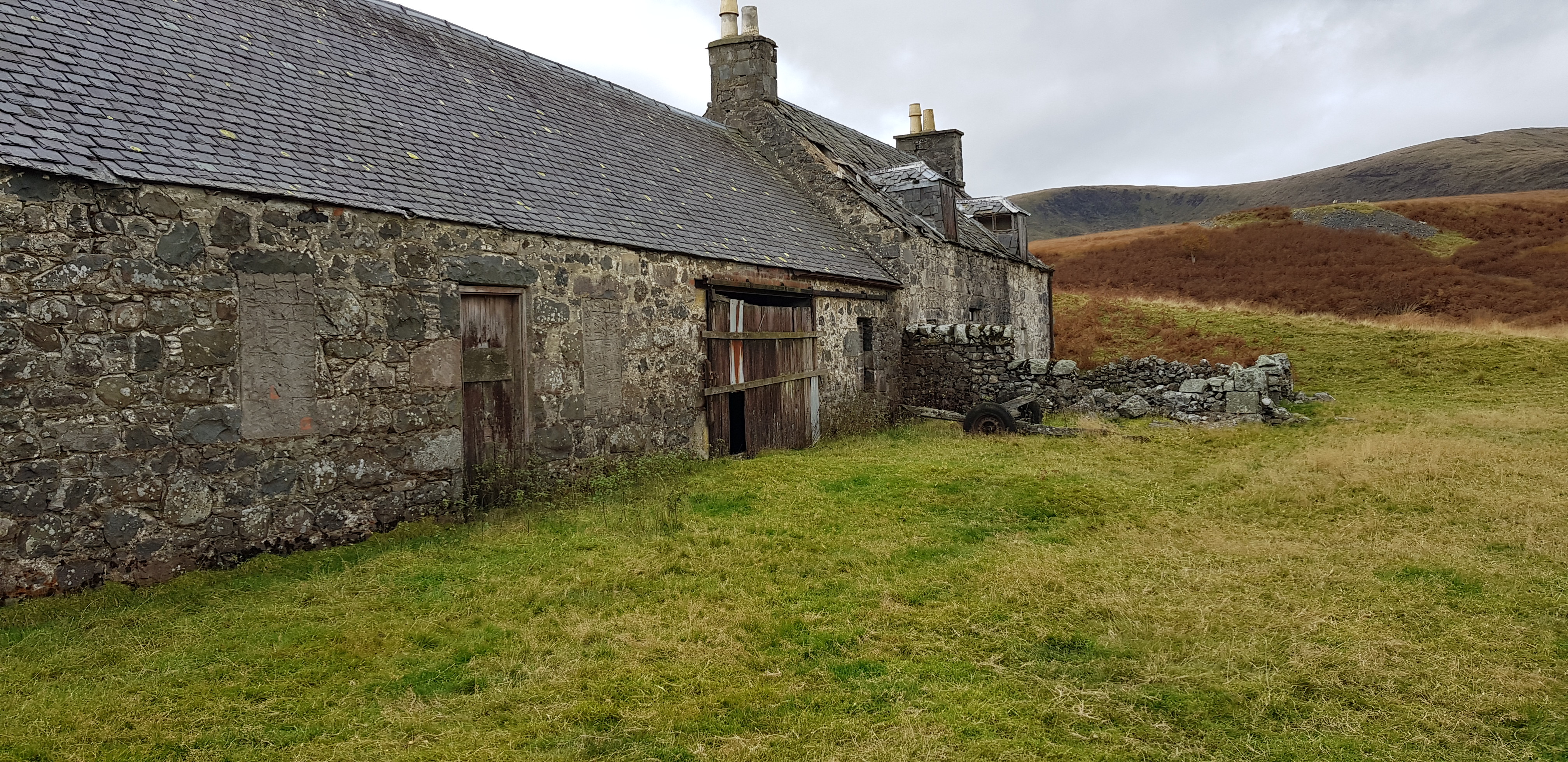
Not far from the old lead mines

Part of the old settlement

One of the few buildings still standing and not looking too bad, may need a bit of attention before moving in

It was a fair sized settlement, 330 folk and a primary school

Our first hill is in the middle, looks fairly easy from here

Plenty of old ruins

Plenty of hardcore available
Looking back

That's the easy bit done, now for some serious off piste stuff, look at the determination

Looking back

It doesn't look far, but it was still a struggle

Parminder taking it easy and finding it easy?

Looking across towards hill number two Meaul

A fence to clamber over, this time we don't follow it as we definitely don't want to descend yet

Not sure what Parminder thinks of the fence, it didn't merit getting his camera out

Getting there, slowly

Let's follow George, bet he was glad he put on his gaiters?

The grass looks fairly easy to walk through, what you can't see is the lower bits - tufty and soggy

This may look like mush, but to us it was like heaven

Looking back down the ATV track

Looking southish to the way we would be heading, just short of our first summit
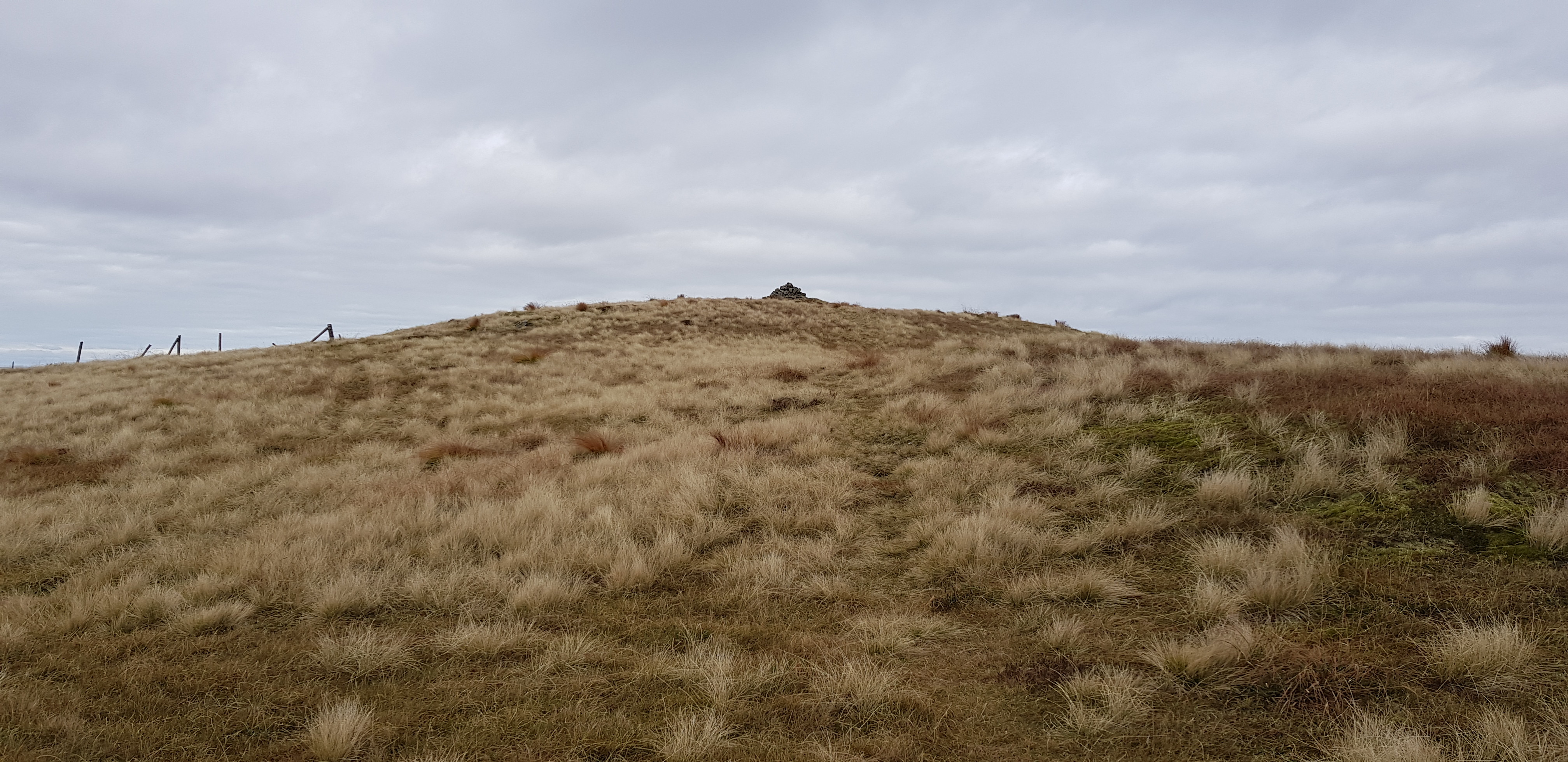
First summit just appearing, Coran of Portmark - bit of an odd name, but at least we can pronounce it

The way ahead once we have taken our photo's on the summit

Looking SW ish towards Shalloch of Minnoch and the range that it is part of

NW towards Ayr

Loch Doon in the foreground

Loch Doon again, Ailsa Craig just peeking up

The way down, we would visit the Donald top called 'Bow'

Looking SE, lot's of low level wispy cloud
The summit of Bow looking towards Carsphairn

Looking along the broad ridge towards Meaul

Loch Doon looking very impressive
Looking back, follow the fence now

The way ahead

There was plenty of this grass, daresay it has a fancy long winded name

Bit of low cloud floating around
Looking back

Eastish

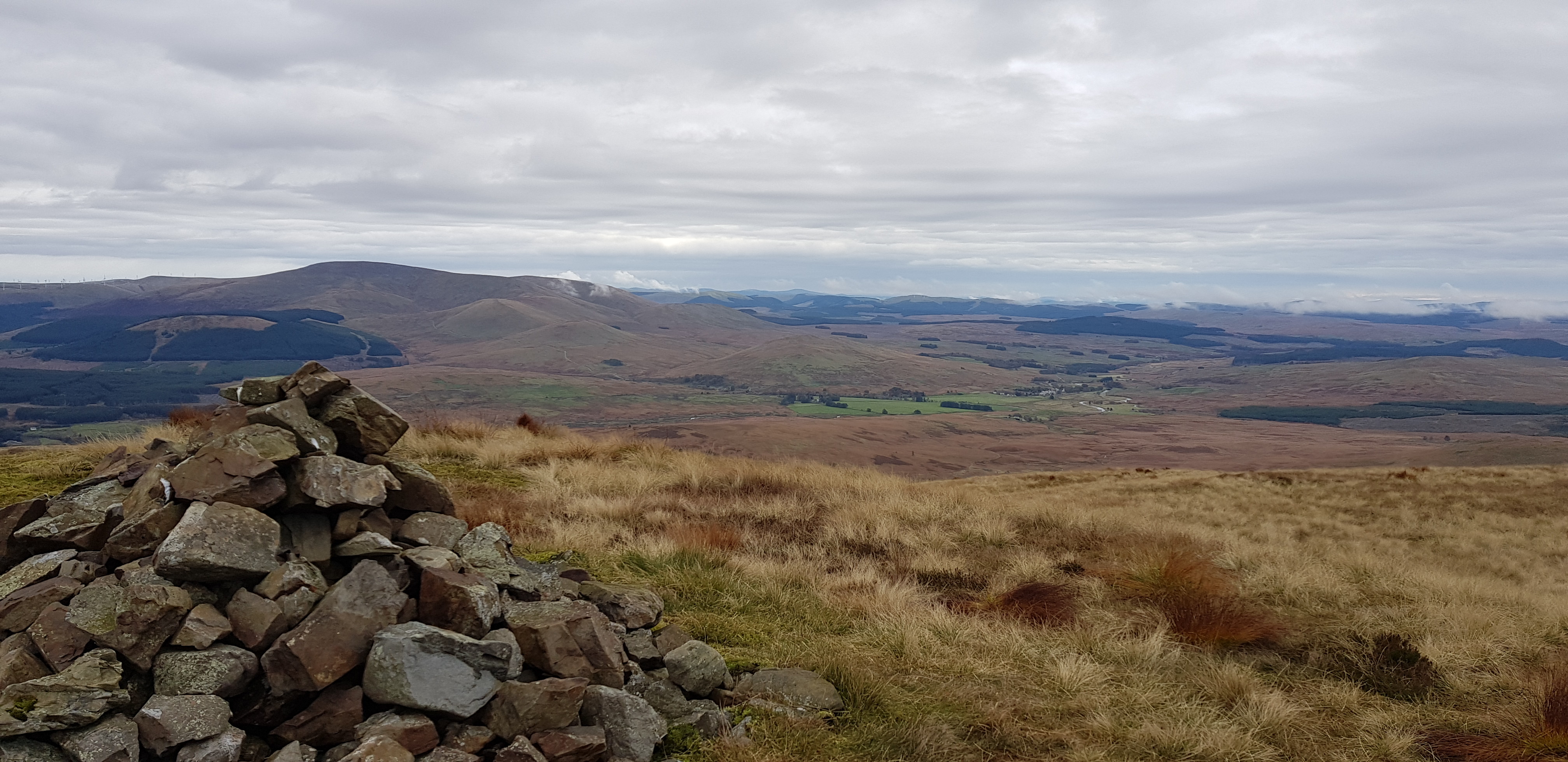
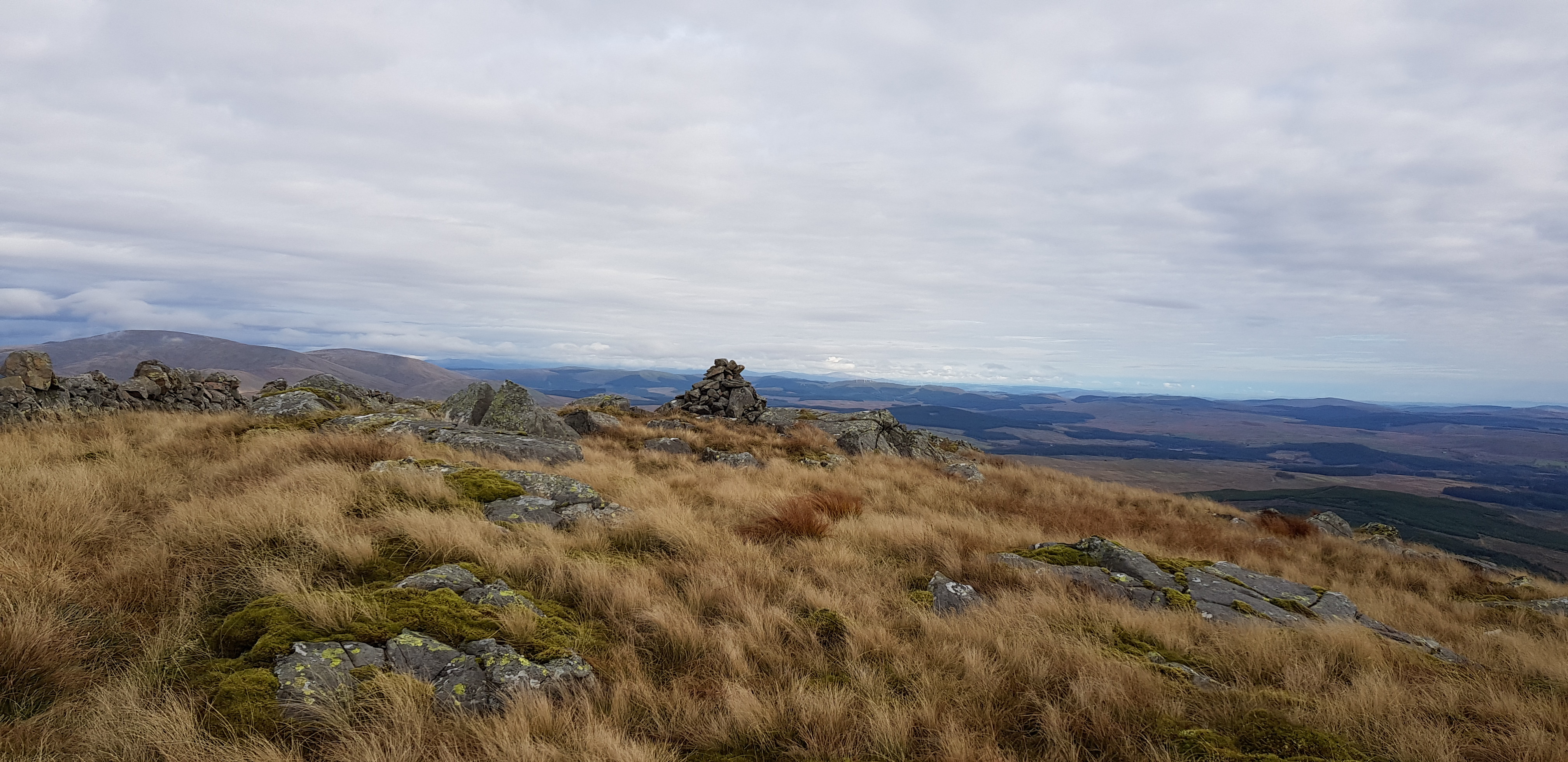
Trig on our second summit Meaul

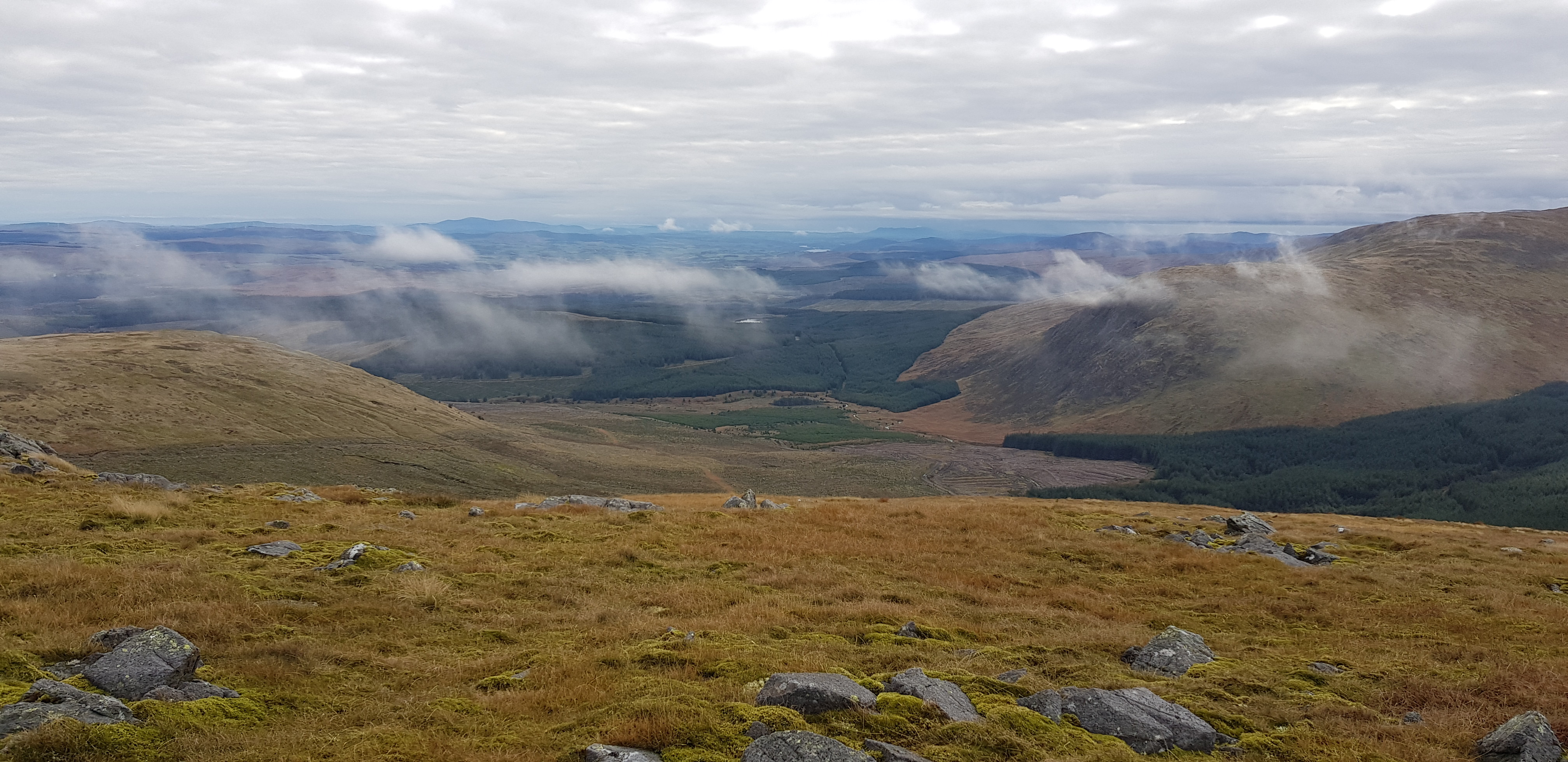
Looking south, our original plan was to visit Carlins Cairn as well
Tommy advised us before we set off that Corserine to Carlin's Cairn is only a 20 minute walk, so I suggested when we were on Meaul that we leave Carlin's Cairn till next week. We guestimated that it would take about 90 mins to get to Carlin's Cairn and back. As things turned out we definitely made the correct decision as it started raining just as we reached the car and the low cloud descended upon the area.
East from our lunch spot, plenty of rocks to choose from to plonk our rear end on
Looking SW, Shalloch of Minnoch etc again

Looking towards Carlins Cairn & Corserine - next weeks targets

Looking back up towards Meaul

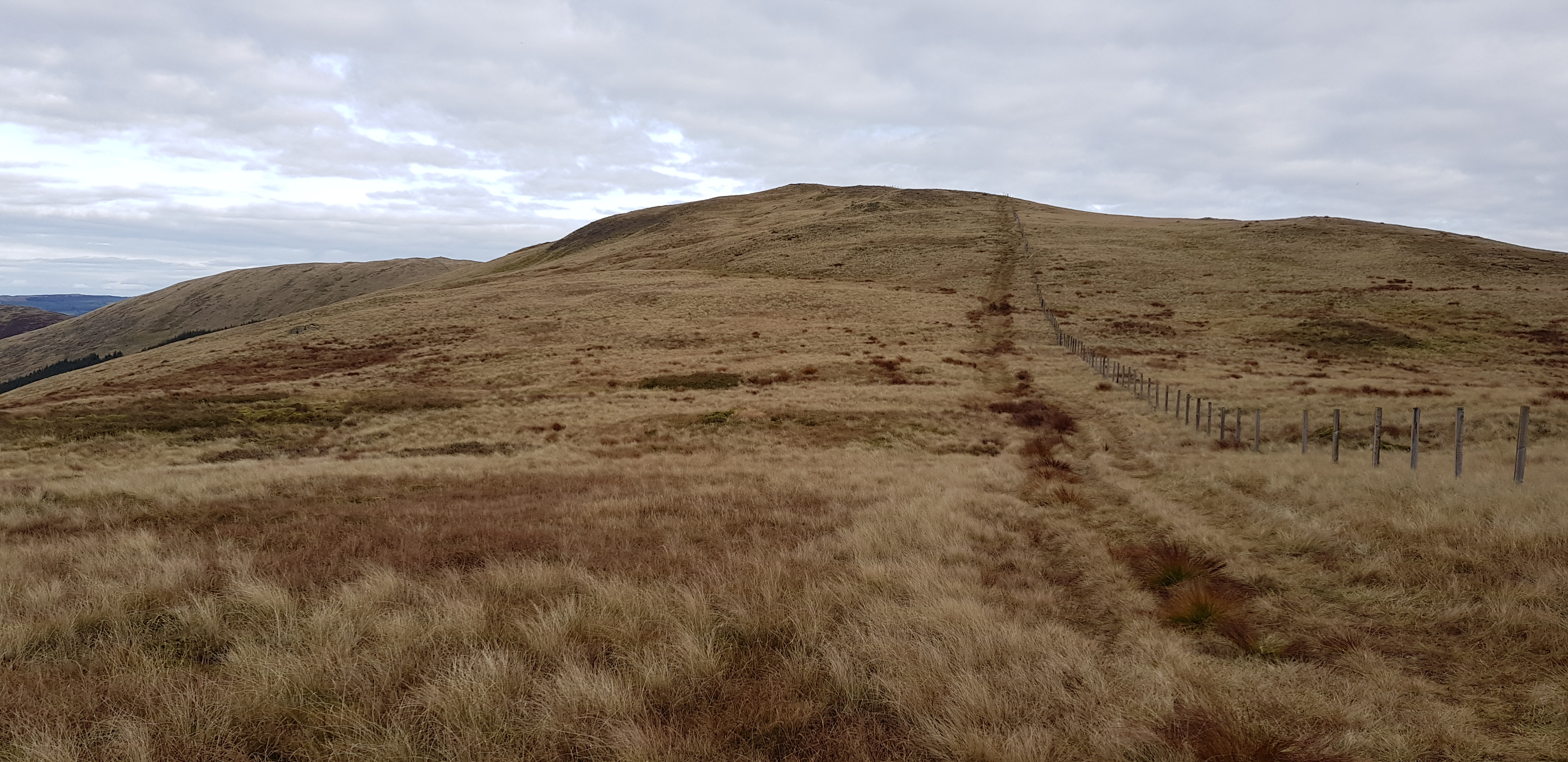
The way ahead up to Cairnsgarroch
Cairn on Cairnsgarroch

Looking across to the broad ridge between Coran & Bow
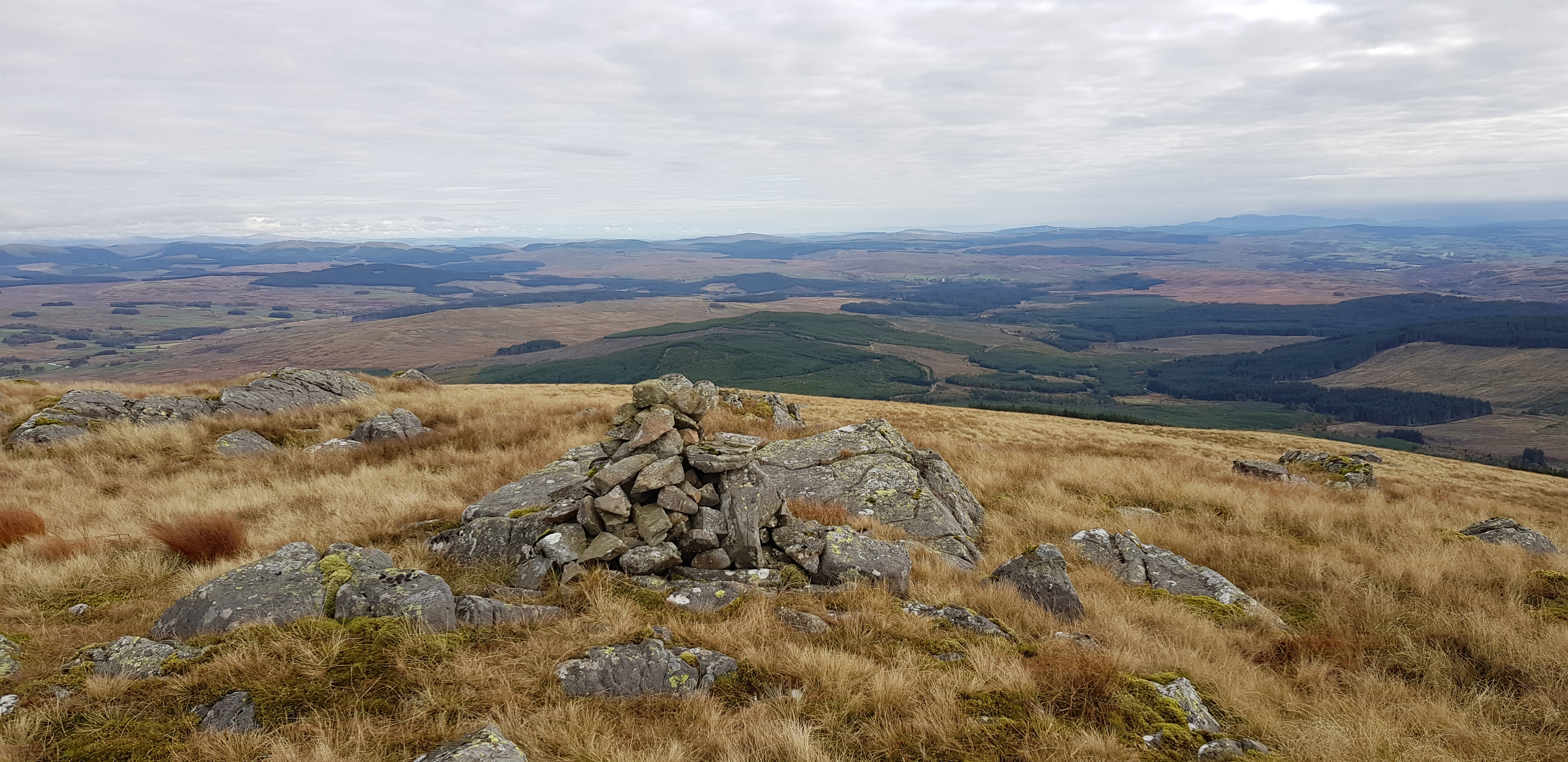
Looking SE

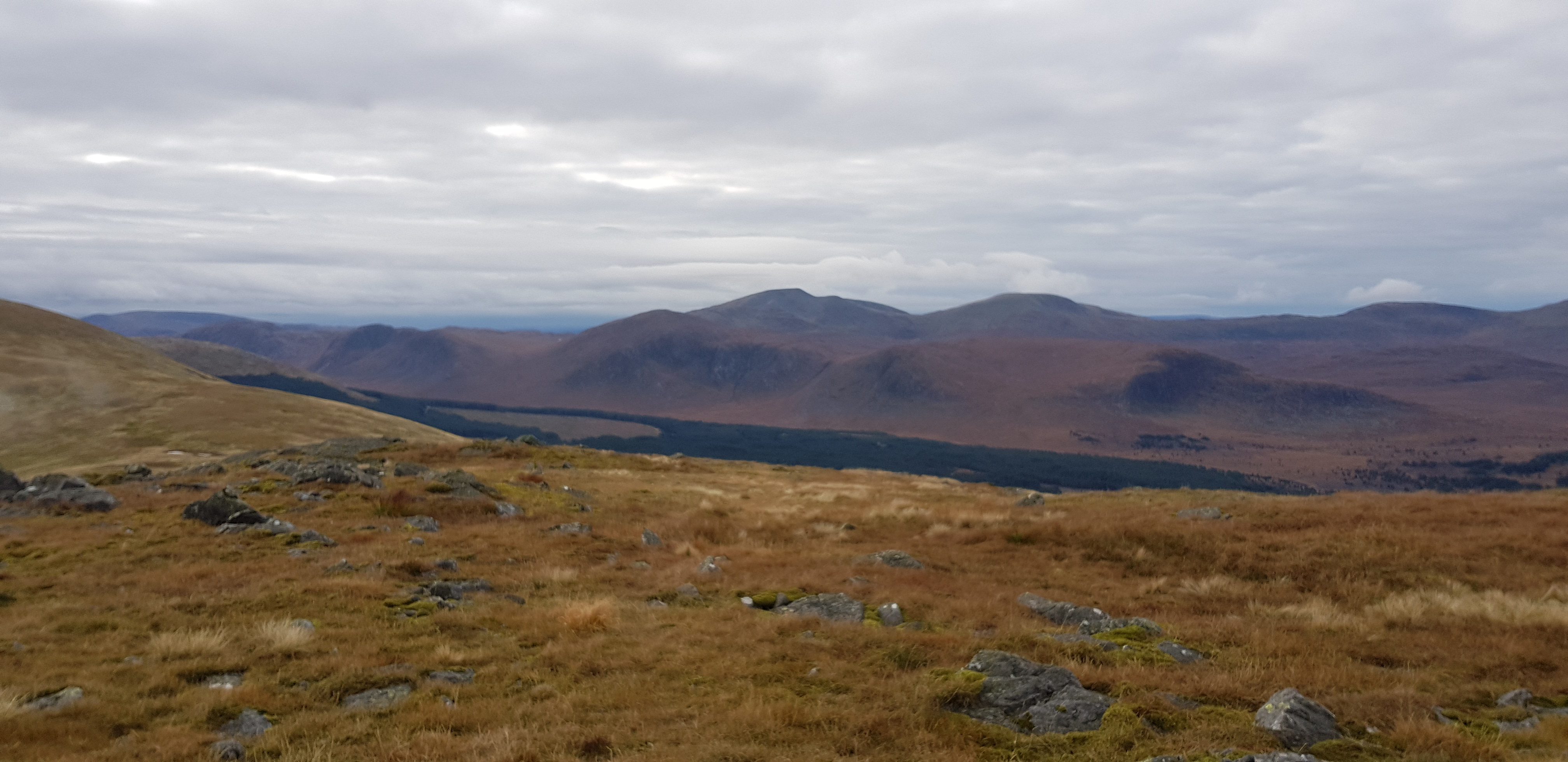
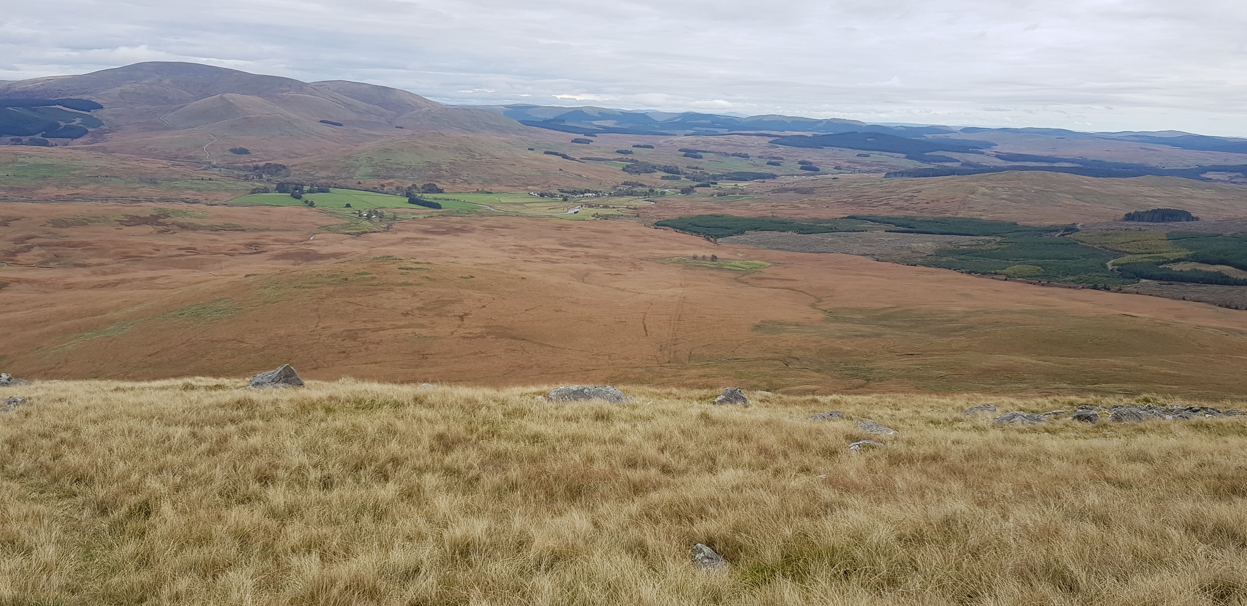
Carlins Cairn on the right, Corserine on the left

Looking eastish

Descending now and looking back
This was the bit I was kind of dreading, 4 years ago I headed for the wall on the left near the burn thinking if they can build a wall the ground must be ok - it wasn't. Having looked at a few other reports it seemed the best way to avoid the mush, tufty grass and very uneven terrain, we should head towards the 3 trees in the distance.

A definite faint path taking us down the broad shoulder
We initially headed for the 3 trees, then turned left down the continuing shoulder

Looking back up what we had just come down, not steep at all

After climbing over the fence we followed one of the many faint paths

We were heading for the large building, staying on the higher ground - theory being it should be drier

Looking back to Coran

Not too far to decent terrain

Different view of the ruins

Our crossing spot, bit disappointed there wasn't a bridge

Kind of shows how deep the grass gets
Close up shot
This turned out to be far, far better than I was anticipating and was great to get out after a bit of a traumatic week. Bottom line is we are 3 Donald's nearer to our target's and we also bagged our first TOP. Next for us is a visit to a bit further down the same broad ridge starting with Corserine - bring it on.
