free to be able to rate and comment on reports (as well as access 1:25000 mapping).
Over the last month or so we've noticed that although I'm struggling with hill-walking, I seem to be able to do much more on the bike. So we came up with the idea of hills where I can take some of the ascent on the bike. Malky suggested Meallach Mor - a relatively remote Corbett which is accessed down by a long estate road which not only is cycleable, but also reaches almost 400m, leaving the remaining ascent at a level I ought to be able to manage, on a Good Day.
This particular Sunday turned out to be a Good Day. We drove the short distance to Kingussie and as there is nowhere to park at Tromie Bridge, turned up the steep road just past it where there are lots of places to leave a car. There was the odd midge around...

The impressive falls at Tromie Bridge (we had cycled past here on a route between Aviemore and Kingussie about 18 months ago, but the weather hadn't been quite so good that day!)

And off we went, cycling down Glen Tromie. Malky had said that the first few hundred metres were a track, then it was tarmac the whole way. As it turns out...either he's spouting his usual level of bullsh*t, or the tarmac had been removed. The first 6.5km were on a bumpy track, and the tarmac didn't appear until the very out of place looking house (that looks more like it belongs in a council estate in the suburbs!)
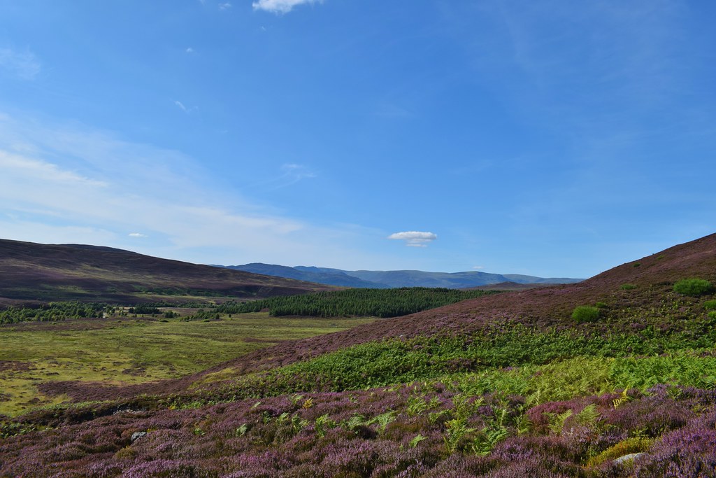
The scenery was lovely though


Eventually our hill came into view - Meallach Mhor, another big heathery mess


We pottered around trying to spot a good way onto the hill, before concluding that there wasn't one. We locked the bikes to a fence next to some lovely waterfalls and decided it was lunchtime and that we should have at least some of our lunch here (it would save carting it up the hill afterall
)

Once we had eaten, we had run out of excuses not to go and play in the heather
I collected my boots from Malky's pannier (he has his uses!) and off we went....climbing up a hillside and finding....a loch?!

This loch wasn't marked on Malky's Pink Map (few things are - I wonder what the point is of a map that doesn't actually have anything useful on it

) When consulting the Orange Map later, I found that the loch was marked on that
Malky contemplating the point of Pink Maps

We spotted what looked like an ATV track and made for that - it did help, and although it was fairly faint it helped us gain a far bit of ground

As we gained height we started to see the Gaick Pass - I'd only seen this from the other side with Colin on a
Corbett expedition a while back; another day where cycling without padded shorts proved to be a bad idea


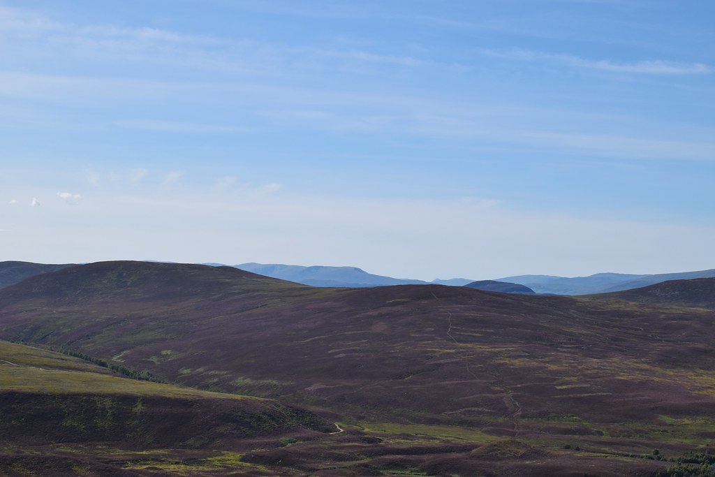
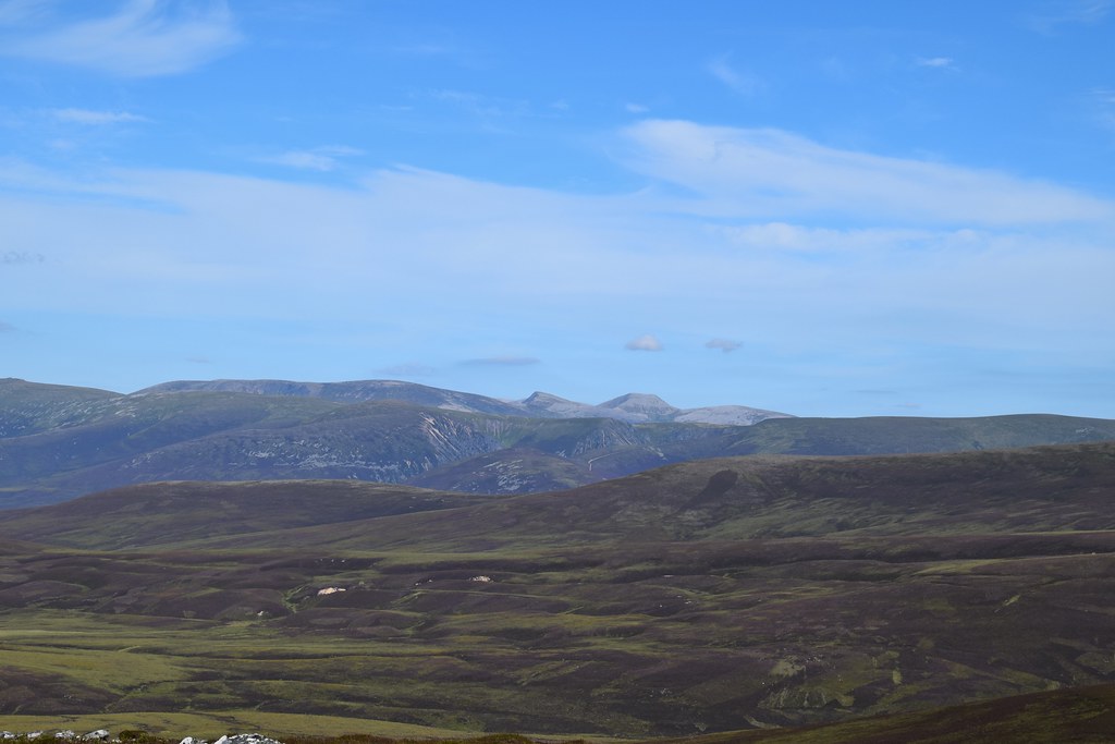
The hills across the A9 starting to appear - I think this is Geal-Charn Mor
The ATV track disappeared and dumped us into a large pile of heather...I wasn't very happy about this (although I couldn't say I hadn't been warned on this occasion
) so we just battered through it, and were rewarded with the Gaick Pass and also a bit of a path which seemed to be there to aid access to grouse butts

As much as I was thrilled to see a path, the ground was mostly much easier to walk on here with shorter heather. We tried to follow it though, and were hoping it might aid the descent as well!

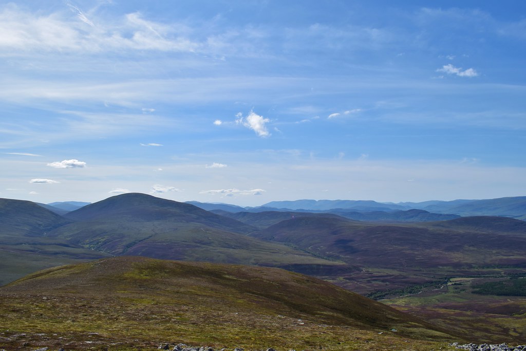
Creag Meagaidh in the distance
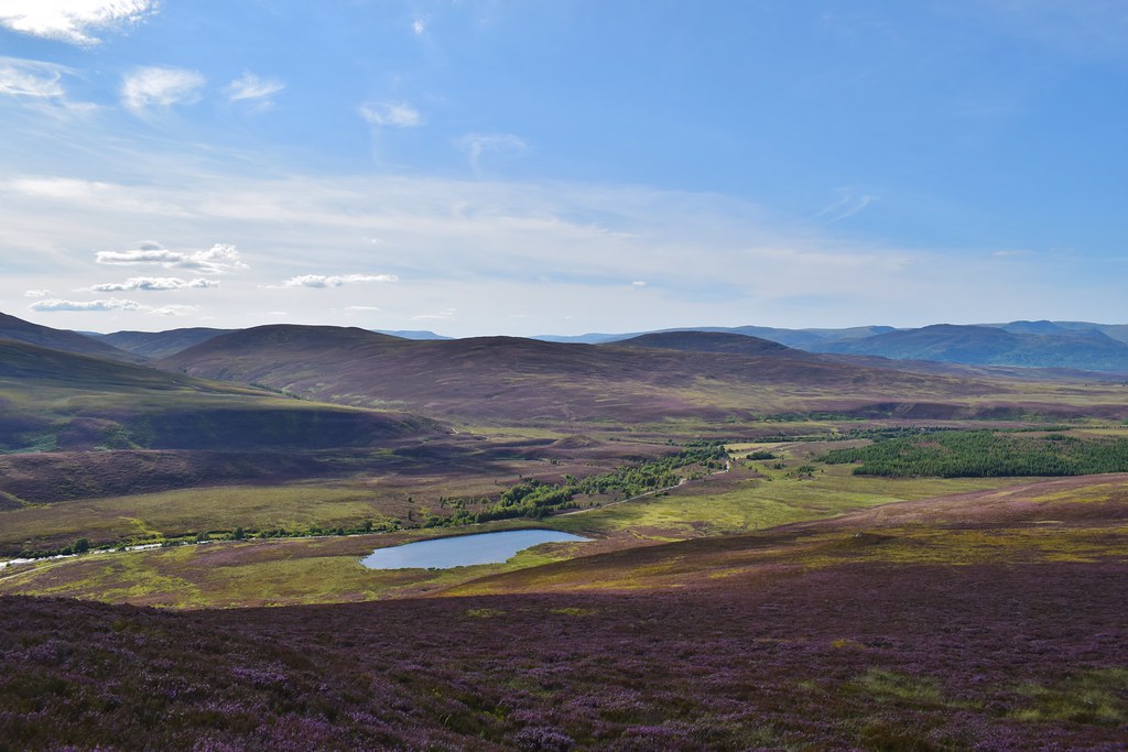
Loch an t-Seilich and the Gaick Pass

Now we were on better ground, the final ascent was much easier, although I was still knackered when I reached the top. It was quite windy too, which made Jaxtering very amusing for Malky

The views across to the Cairngorms were fabulous
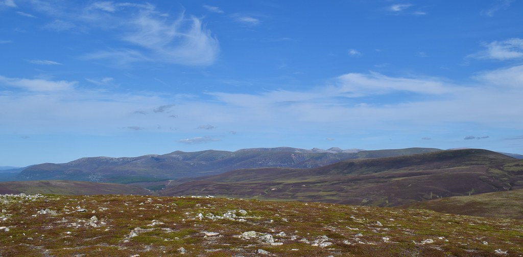
Braeriach, Sgurr an Lochain Uaine and Cairn Toul
Cairn Gorm

Across the A9 - we had a lengthy discussion about these hills. I remember being right, but not what I was right about

Leathad an Taobhainn - another relatively obscure Corbett that might be doable with the aid of a bike

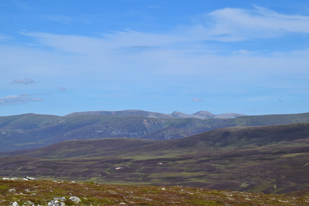
The Cairngorms
We decided to be Hobbits and have a 2nd lunch, or afternoon tea, consisting of the remains of lunch, and the usual huge quantity of food that Malky always seems to need to bring on every expedition

Eventually we realised that we had Mummy and Daddy Clark to feed when we got back, and quite a long way to get there, so we headed off following the path initially, before losing it and then refinding it again

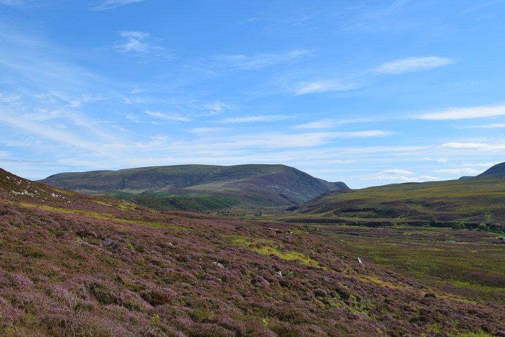
A last look at the Gaick Pass, and unfortunately the path petered out, leaving us in the middle of a pile of heather

Malky still wondering why he's spent all his money on Pink Maps when he should have bought Orange ones

The loch that Doesn't Exist (except it does
)
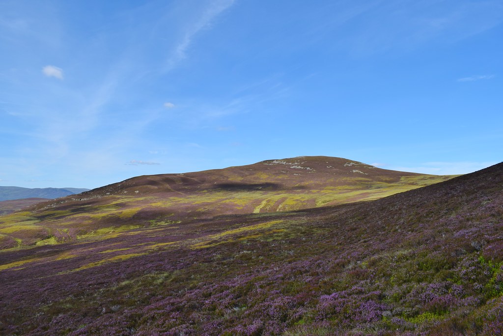
Meallach Bheag, which does appear to have an ATV track up the side of it - we were tempted to go that way, but then realised I was tired and went for the quickest route down, rather than the most interesting!
We fought our way through the heather before picking up another very faint ATV track

This led us past a memorial cairn

"What's the point of a map without things on it?!" Malky still wonders to himself...

So much heather
We did pick up bits of our outward ATV tracks, before veering off through some bog in a (failed) effort to make things easier...

And relief...the road!

We pulled some heather off our socks and relaxed for a few minutes before getting back on the bikes. The first section along the tarmac was a joy - and the views of Glen Tromie were lovely

Malky working out if Pink Maps make good kindling...

The last 6km were a bit rougher, although at least largely downhill, and we were relieved to be back at the car. As it turned out we still got back to the house before Mr and Mrs Malky
On the bike: 22.45km, 191m ascent, 1 hour 45 mins
