free to be able to rate and comment on reports (as well as access 1:25000 mapping).
Previous day - Orkney mainland cycleWe’d heard from someone visiting during the summer that Orkney ferries needed to be booked 24 hours in advance, so we had this all good to go the day before. I was a bit concerned about being too tired from the day before, and also that our ferry left at 9.30 and I often struggle to be out of bed by then. But we managed it – we parked up in Stromness, unloaded the bikes and with 5 minutes to the ferry, Malky decided he needed to evacuate his bowels (fortunately he did this a lot more quickly than normal

)

The ferry itself wasn’t busy (there were 8 passengers including us) and before long we were on our way. Although the full sun that was forecast wasn’t really evident yet, it was a beautiful morning as we left Stromness.

Looking back to Stromness

Ward Hill & Cuilags on Hoy towering above Graemsay

Looking towards Scapa Flow
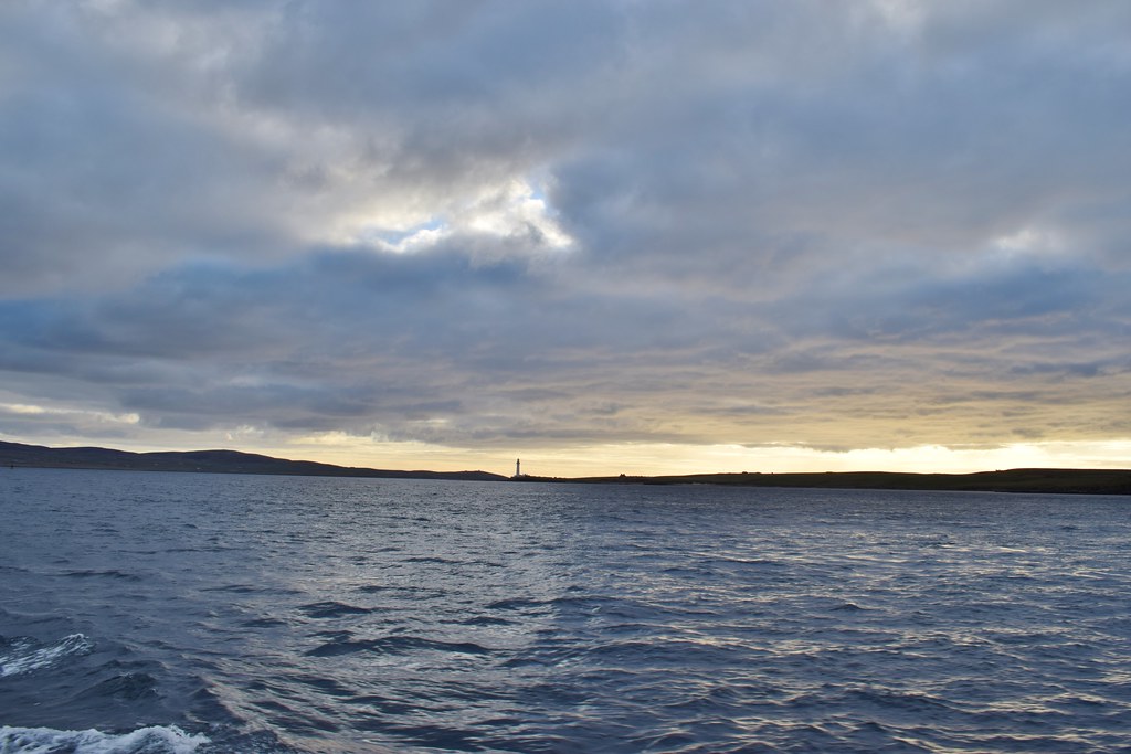
Things got a bit choppy as we rounded the end of Graemsay but before long we were safely deposited on Hoy.

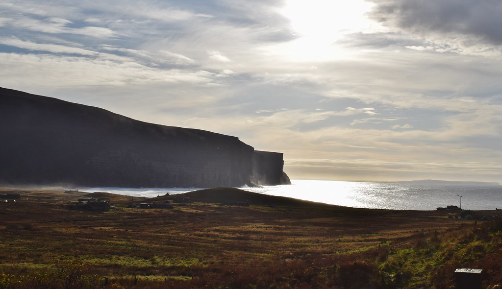
Looking out to sea and the waves crashing into the cliffs as Yesnaby
Everyone else dispersed fairly quickly, mostly on bikes but 2 guys on foot carrying camping gear. We took our time and pedalled up the hill. As we gained height the views back towards Moaness and the pier were stunning

We did consider walking up to the
Dwarfie Stane, but didn’t want to tire myself out before the hill – we decided we could do it on the way back if I had the energy

At the high point of the road

Looking down to Rackwick

We spotted what looked like a wee howff and were trying to work out what it was. Turns out we were looking at
THIS – not a house, but dressed up to look like one!
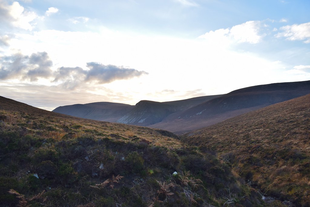
As we dropped down we could see up the glen towards our hill (if we got there!)
We saw the road climbing (yet again!) ahead but fortunately this was where it split and we didn’t need to cycle up it. We dumped the bikes, transferred some extra crap to Malky’s pannier and set off on foot. From the end of the road the path was well sign-posted

The path climbed fairly gently towards the cliffs and as we gained height we could see down to Rackwick Bay – impressive!
Looking back to the high point of the road

Restored houses with grass-roofs

How did they know he was coming?!
Looking down of Rackwick – we’d go down to the beach afterwards to (hopefully) catch the sunset

It was a really good path which made for easy walking

Rackwick

As we passed the high point of the path we could see down to the impressive cliffs around Rora Head (but I was glad to find out that we didn’t need to walk around them!)

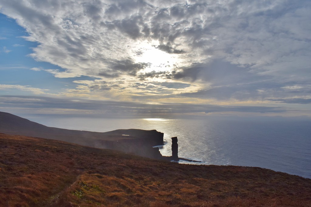
We were sad to be dropping height but forgot our disappointment when the Old Man of Hoy came into view

We covered the distance to the Old Man relatively quickly and reached the impressive looking cliffs

Cliffs to the north

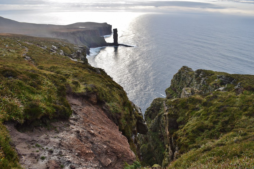
Old Man of Hoy – impressive!

The cliffs around here were amazing, we tried to spot how you’d get down to the Old Man, for anyone crazy enough to try
And the cliffs to the north were even higher!


We sat down to enjoy half of our lunch – it was a bit early but I needed a bit of a break and it wasn’t a spot we wanted to rush off from!
 A-Hoy there!
 As we set off along to the cliffs we spotted the ferry coming in from Scrabster – would definitely be worth getting this ferry in the daylight as the views from underneath the cliffs would be incredible

As we continued along the cliffs the path remained decent – we hoped this would continue!


There was virtually no wind and with the sun giving it laldi it was hot work as we climbed up the cliffs

“That’s clouds - it can’t be hills cos the nearest thing is the Faroes” said Malky. I wasn’t convinced and eventually he had to concede that his sense of direction was about 90 degrees off

We had gained a lot of height but the Old Man still looked impressive (not a bad effort for an old man

)
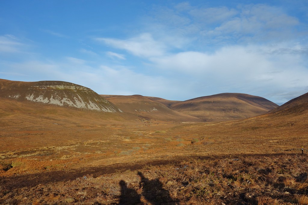
Scaraben & Morven


We met the two guys with camping gear along here; they said they were heading for the beach to camp – we had been wondering if they were heading for bothy but they said it was closed, unsurprisingly.
Some vicious cracks in the cliffs!
St John’s Head – we would probably leave the cliffs just before we reached there

The path diverted away from the clifftop around about here – these are Hendry’s Holes, but we weren’t sure who Hendry is/was. The path headed uphill before turning left, where we left it and carried on uphill


For the first five minutes the ground was awful but it did improve gradually as we got further away from the cliffs. I was pretty exhausted here, and instead of heading for the trig point on Suie Fea we decided to contour around and head straight for the bealach to avoid any extra ascent. We could see Cuilags (our hill) on the left and Ward Hill on the right.
Rackwick Bay – seemed an awful long way away!

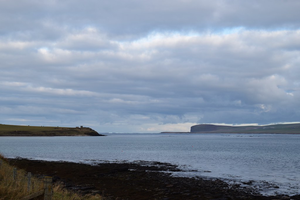
Most of the ground here was much better – it reminded me a bit of the rock in Assynt and Torridon. As we reached the bealach we could see across to Mainland Orkney

I was exhausted and we stopped for a break before the final ascent to the summit. After some water and chocolate I was raring to go (well, just about capable of moving my feet
)

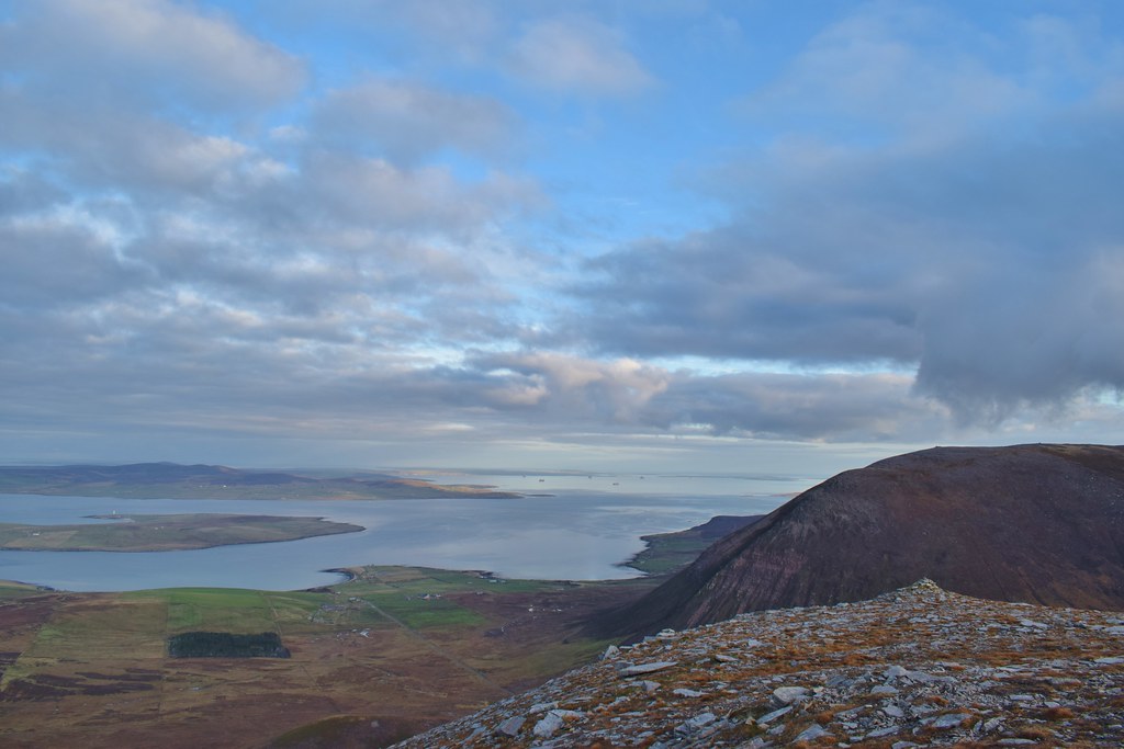
As we neared the summit the views really opened out across Mainland Orkney – we were far higher than anything else on the Mainland so we could see the whole way across!

We finally reached the summit – what a view!

Time was getting on – somehow despite thinking we had loads of time we didn’t think we were going to make the beach for sunset after all


Jaxtering on the summit of Cuilags

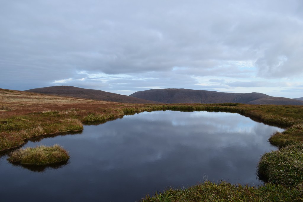
Scapa Flow
After enjoying the views we got going – from here we were dropping down the ridge to the path through the glen. Initially the ground was pretty decent

Although it was all downhill, it looked an awfully long way!

The ridge was nice and easy for so long that we were lulled into a false sense of security which was shattered as we were faced with a steep heathery descent to the burn. It felt like longer but Malky said it only took us about 5 minutes to get down it. Fortunately I managed to get away with it despite having forgotten my poles
We climbed up the steep bank of the burn and were on the path which was much better than expected – we had thought it might be a big of a bog-fest.
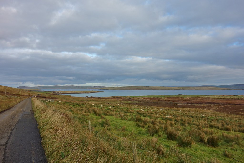
The most northerly natural woodland – the Forest of Orkney
The sky was starting to become nice colours as we marched along the track. With the ascent done I was feeling a bit more lively and we made good time along the glen.

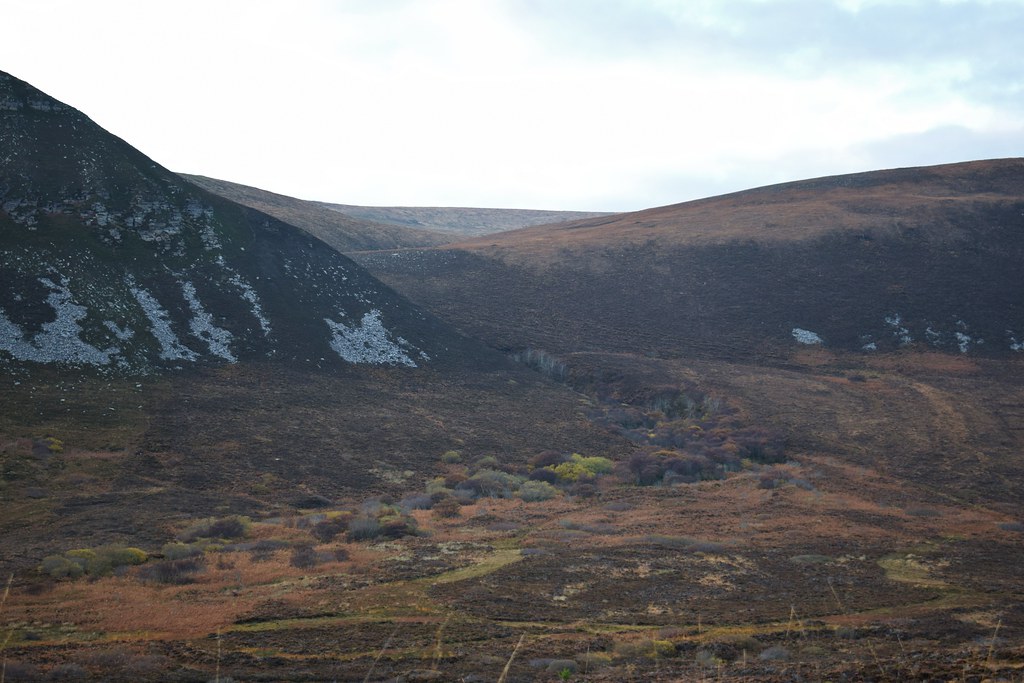
Looking back to Cuilags

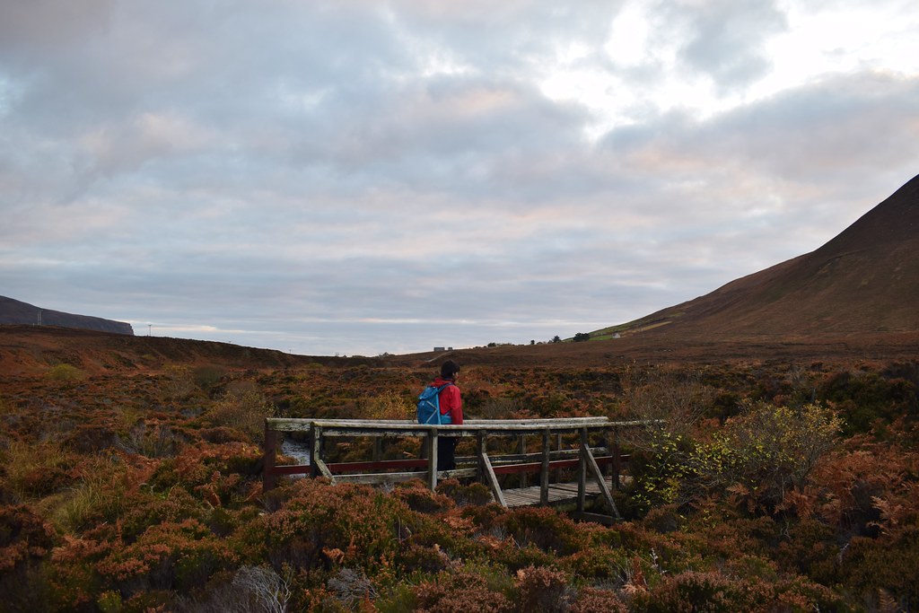
Nearing the end of the track, a helpful bridge.
It turned out that we had made such good time that we were able to hop on the bikes and freewheel down to the beach in time for sunset! (We would pay for the free-wheeling on the way back up the hill later
)


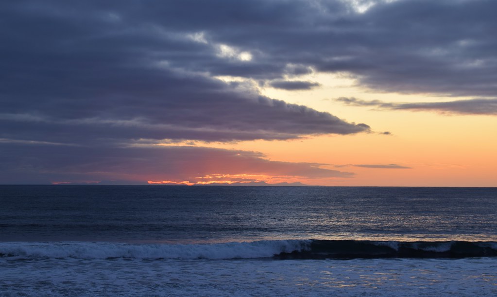
The sun dropping behind the northern mainland hills

The sun was gone and it was only just after 4 – winter is coming!

We had a wee nosy at Burnmouth bothy – currently closed, but in an excellent spot! The 2 guys we had seen earlier had set up camp next to the bothy.

The ferry wasn’t until 6.30, and although we figured we ought to allow an hour to cycle back over (I wasn’t sure how I was going to react to having to move again
) we had plenty of time to sit and relax and eat some of the snacks we had left.

After a bit of a rest the cycle back was not as bad as I had feared. It felt pretty magic cycling across Hoy in the dark – it was so quiet!
Back at the pier we had a half hour wait – fortunately the wind was still virtually nothing and once we’d added some extra clothes it wasn’t actually that cold.
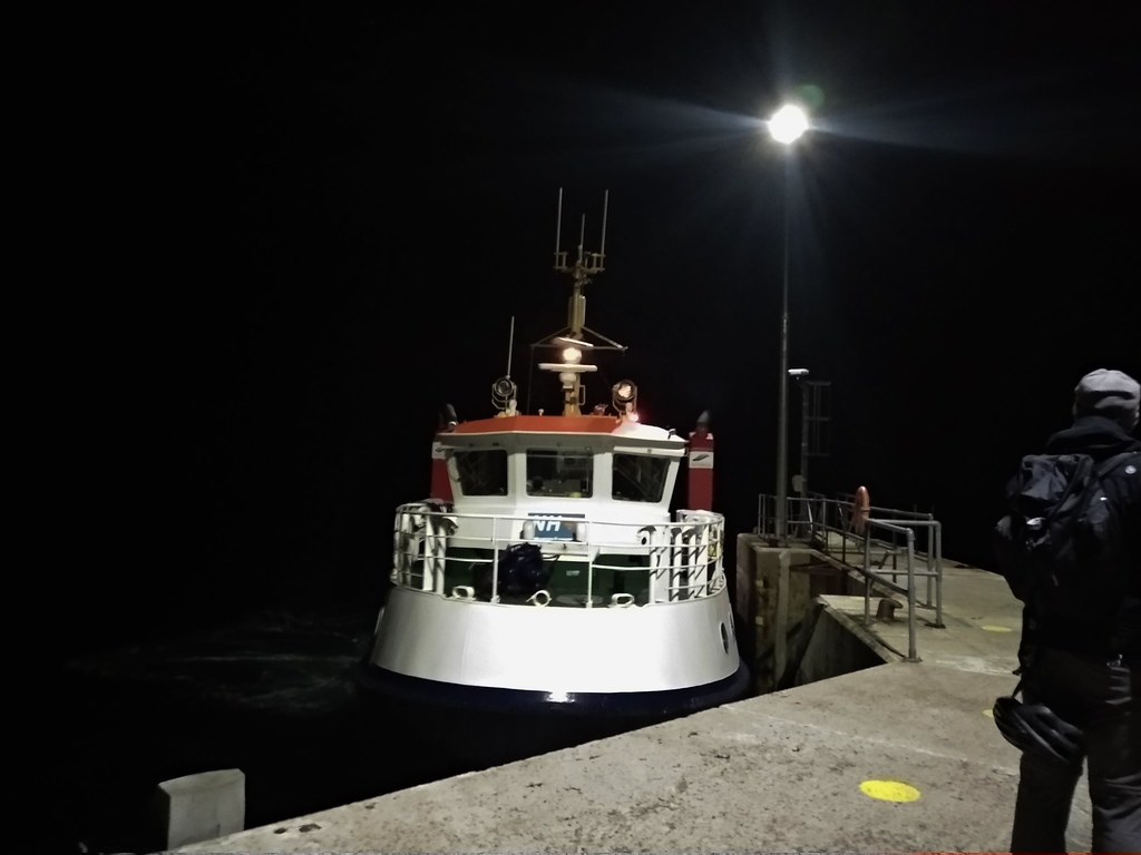
The ferry took us around the other side of Graemsay this time, which was much calmer! Back in Stromness I threw the keys at Malky
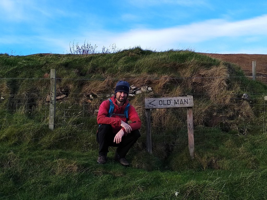
We did stop for a quick photo – it’s music related – anyone get it?

After a nice hot shower and some dinner we both felt a lot better. We were just settling in for an early-ish night when an aurora alert went off. We jumped in the car and headed to Inganess Bay where it was a stunning evening. I didn’t think we’d got any aurora, but when I got the photos on the computer I think you’ll agree there’s a very faint green


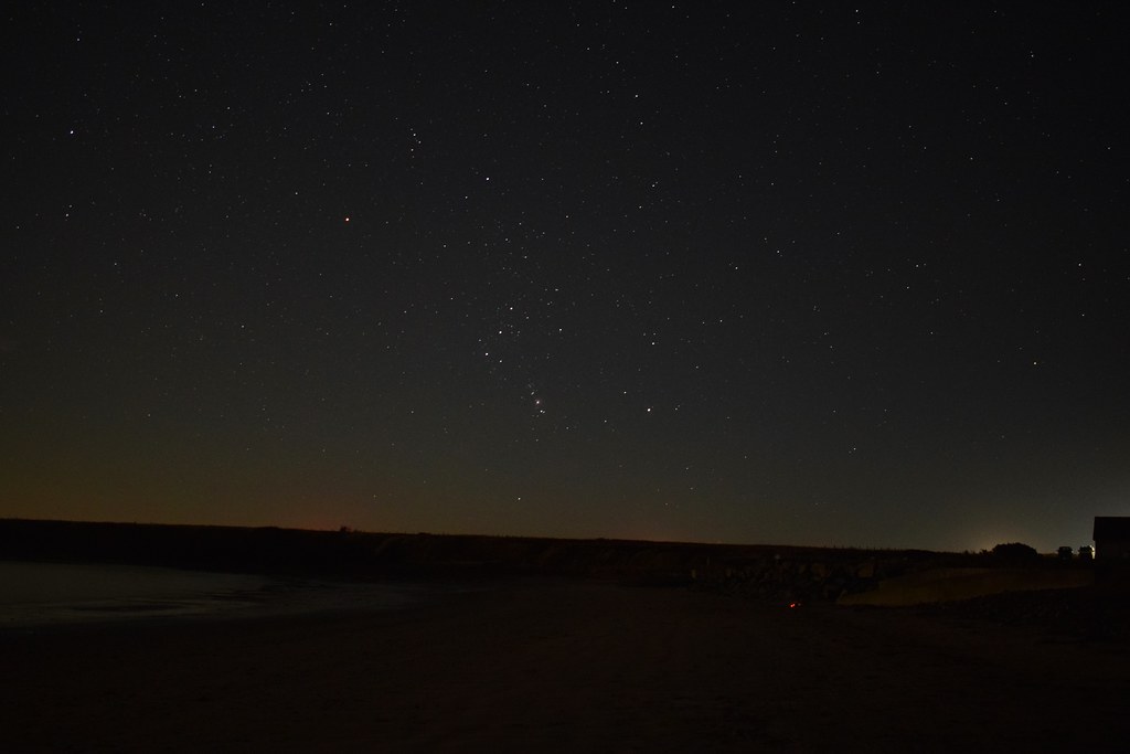


A perfect end to a perfect day
And I slept like a log afterwards
Cycle - 18.93km, 190m ascent, 1 hour 40 minutes
