free to be able to rate and comment on reports (as well as access 1:25000 mapping).
Previous day - a special day on HoyThe Gloup & Brough of Deerness3.24km
81m ascent
56 minutes
After 2 big days we were planning to have a bit more of a sight-seeing day on Sunday before catching the ferry. The weather wasn’t bad, but it was a colder cloudier than the previous days. We had to be out of the apartment by 10 (and we were – just!) and we headed in Kirkwall to enjoy ice cream for breakfast and a wander around town, in the daylight this time.

We then drove around to Scapa to have a nosy – when we had passed on our way into Kirkwall on the first evening it had been dark

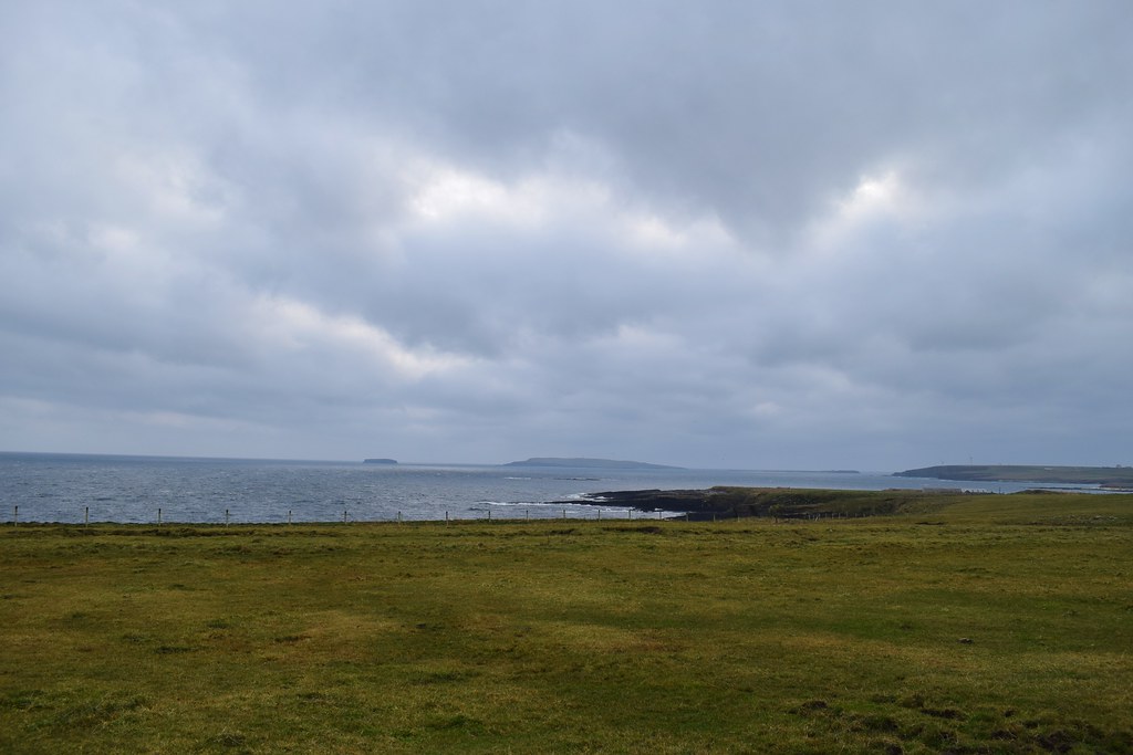
Next we had a drive up to Deerness – we had spotted The Gloup on a map and it turned out to be a collapsed sea cave which was actually pretty cool!


Looking down the coast to Copinsay
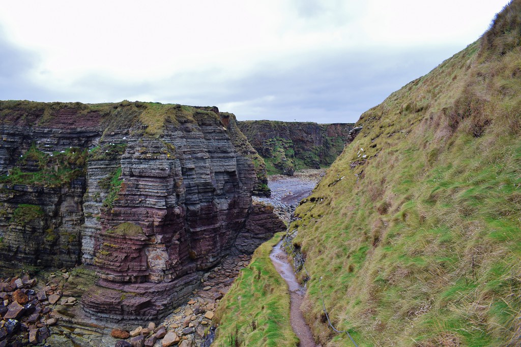
The outflow of the collapsed sea cave

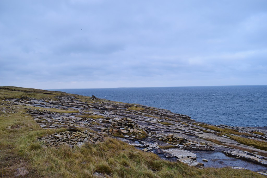
There was a path all the way out to the Mull Head so we thought we would wander along and see how far we got. The cliffs were fantastic!

The rocks were all a bit damp and looked slippery but with a bit of care we were able to climb out to the tops of the cliffs to get a better look


It was really interesting how different areas of Orkney had such different rock – all the sea cliffs we had seen seemed to be different!
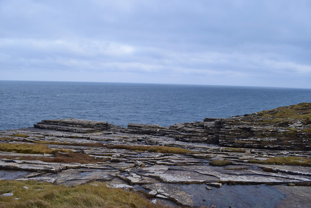
It looked like lots of thin slices of rock had been stacked up


The Brough of Deerness – abandoned settlement was marked on the map here

The path actually went out there, it was properly made with steps and rope hand holds and everything, so we figured it would be interesting

A closer look at these particular cliffs


We climbed up the rock cut steps and found the 11th century Norse chapel on top. There were also the remains of other buildings which apparently dated back as far as 600BC

We headed back down the wee path
We were planning to go out to the trig point at Mull Head but I was struggling with my breathing – it seems to be worse in the cold weather – so we headed back to the car.
From here we thought we would have a wee look at the islands that we had driven over in the dark on our way up on Thursday night. We could see the Churchill Barriers connecting the 2 smaller islands of Glimps Holm and Lamb Holm

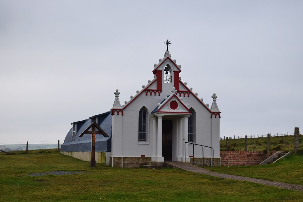
We stopped to enjoy our lunch outside the Italian Chapel on Lambs Holm – built by Italian prisoners of war who were living in a camp on the island.
Looking back across the barriers

As we crossed the next barrier we could see the remains of ships that had been sunk in an attempt to stop enemy submarines penetrating Scapa Flow during WW2. This had limited success which was why the Churchill Barriers were initially built.

Oil rigs sitting in Scapa Flow
 Hunda attempt
1.45km
42m ascent
37 minutes
We planned to have a wander out to the small island of Hunda – a tiny island which is joined to Burray by a small causeway (apparently this was built as a practise run for the Churchill Barriers). We parked on the verge a short distance before the end of the road and walked down towards the farm of Littlequoy. We could see the island ahead

We had read that there had been access issues here so we were careful (as we always are!) to stay away from the farm itself and walked down the edge of a field. We passed some ruins

We stepped down onto the beach towards the causeway

Part of the way along the beach we were accosted by who turned out to be the farmer from Littlequoy. He seemed to have a problem with many aspects of our walk – where we had parked, the fact that we had walked across his land, disruption to his farming and his insistence that he owned the causeway which meant we didn’t have right to roam.
We tried to have a reasoned conversation with him but decided that we didn’t want a confrontation and turned back. We have reported it to the local access officer, and it seems that this is an ongoing problem where the farmer has decided to dig his heels in and refuse to listen to reason. It was frustrating and didn’t feel good to be accosted in such a way
 Hoxa battery
2.7km
60m ascent
41 minutes
We drove down to St Margaret’s Hope where we found a place doing takeaway hot chocolate and then thought we would have time to wander out to the lighthouse at Hoxa before catching our ferry home.
In stark contrast to our “welcome” at Littlequoy, there was a parking area just before The Bu and signs directing us past a couple of houses and down the side of a field.

A path led us around the top of the cliffs towards some old military lookout buildings

The lighthouse itself was modern and apparently solar powered!

There were a lot of the old lookout buildings, and some of the gun placements were still there. This whole camp was for defending Scapa Flow from incoming enemy vessels.

We decided to continue along the cliffs as the path was good and I was feeling ok

Amazing – more different rock making up these cliffs. Much more chunky than the slices up at Deerness

With everything being a little damp underfoot we needed to be careful!


As we reached the end of the headland we turned back and picked up a farm track. We could see the lights of Flotta in the distance

Looking back to the last of the military camp. These ones seemed to be a bit more collapsed!

We made it back to the car just as the rain started. From here it was only a few minutes drive back to the ferry where we arrived with a few more minutes to spare than Thursday night


Passing close to what we thought was an oil tanker

We could feel the wind picking up, and although Malky assured me that we weren’t rocking very much it felt a bit bouncy for my liking

I was very glad to be back on land (also because it was raining and cold so standing outside wasn’t as pleasant as the trip over) and was also extremely happy to hand him the keys and zone out
A fantastic first trip to Orkney – will definitely return

