free to be able to rate and comment on reports (as well as access 1:25000 mapping).
Bankhead of Raith, 164m, 15m of ascent, 1km, 15mins
This has to be one the easiest Tumps, no muddy boots as you stay on the road/track

Parking at the end of the track on the Torbain Road

That is the summit, not very exciting

Looking north to the bigger hills in Fife
Nothing else to say and as you can only really take photo's to the north as there are trees to the south.
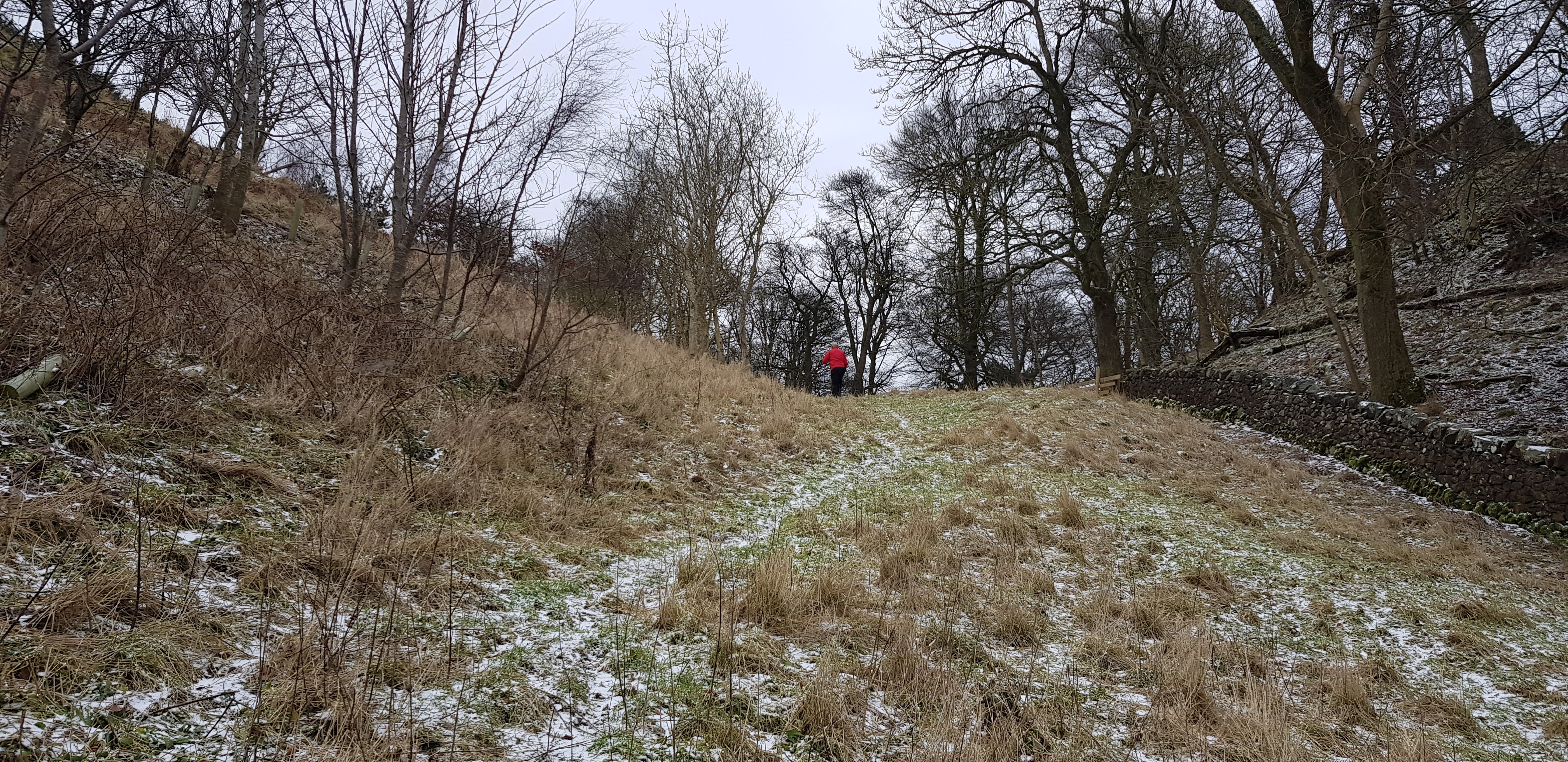
Cormie Hill, 158m, 72m of ascent, 2.5km, 40mins
Parked near the entrance to Torbain Lodge which there is a tarmac road but a huge gate across the road prevents vehicular access as well as pedestrians. There is a path just to the left of the gate that takes you into a wooded area.

We are in the wooded area but the path doesn't go in the direction we require so we headed back joining the road a bit further down, avoiding any conflict with the occupants

Looking back up the road towards the Lodge
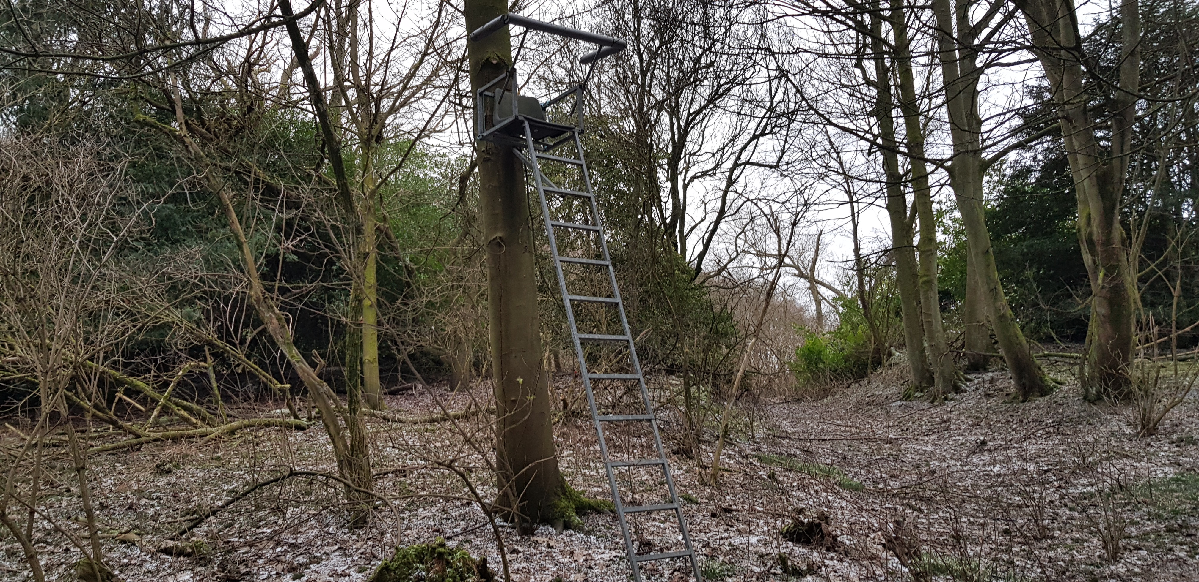
Not sure I would fancy sitting up there for any length of time

The first of many fences for the day, this one was flattened a bit further up so no problem

Looking back
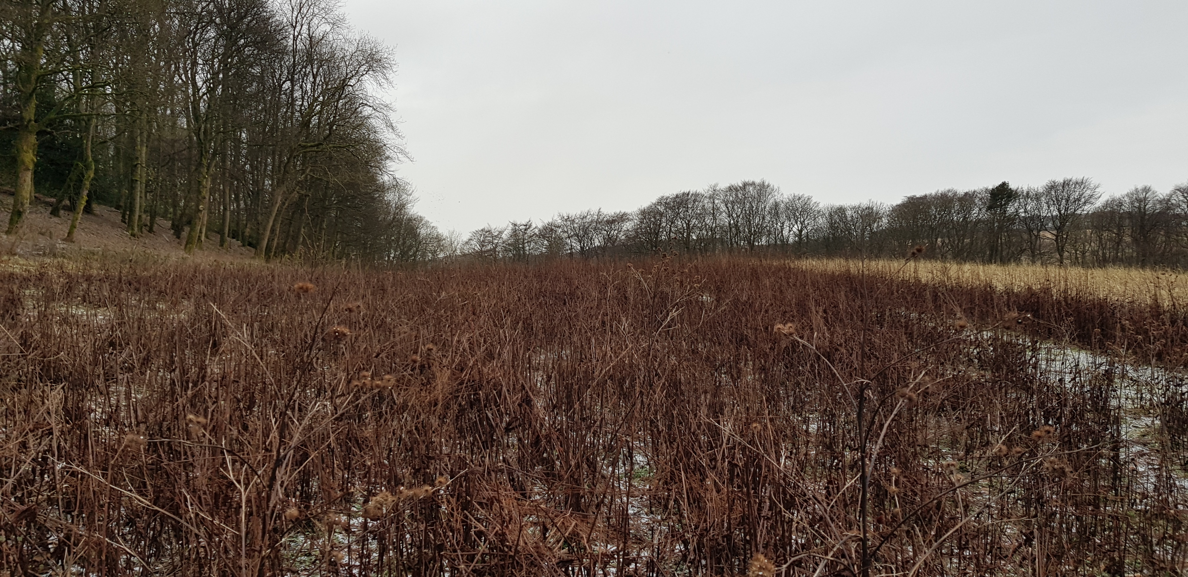
Nice crispy undergrowth, would be different in the summer

The summit is just behind Raith Tower to the right
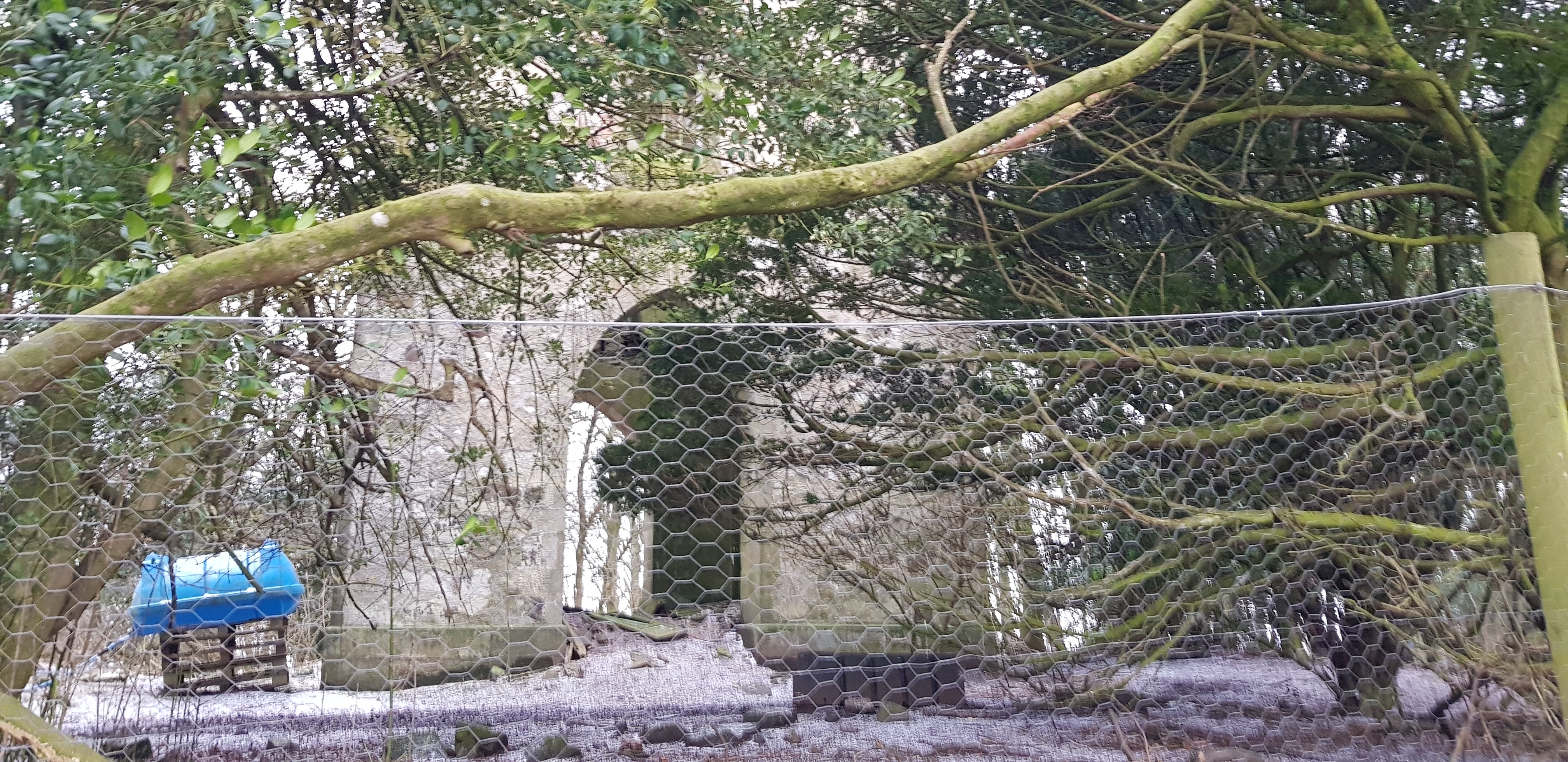
Raith Tower all fenced off with chicken wire

Probably a health & safety issue

Here is a description I found - Early 19th century. 3-storey, square-plan lookout tower with inside stair, crenellated parapet and round angle-turrets
Another easy walk, our main concern was upsetting the locals.
After a drive through the outskirts of Kirkcaldy we headed along towards Kinghorn and parked shortly after Kinghorn Loch to tackle our next hill.
Grangehill, 118m, 46m of ascent, 2km, 25mins
Once again we had a track to follow uphill. There seem to be plenty of masts in this area and as you would expect they usually have tracks for engineers to carry out maintenance and regular checks.

Looking back at the gate, luckily we didn't have to climb over it

Low level look across to Kinghorn Loch and the many new houses that have sprung up recently
Looking across to the mast just north of Burntisland

The summit is just on the left, we took the direct route

The summit area, looking out across the Forth to Inchkeith Island (which is also a Tump), doubt if we will bother with it though

George admiring the view

Looking SW, the visibility varies

Arthur's Seat on the other side of the water
Another short drive onto the Orrock Quarry road to tackle our next hill.
Stoneyhall Hill, 194m, 115m of ascent, 1.7km, 45mins
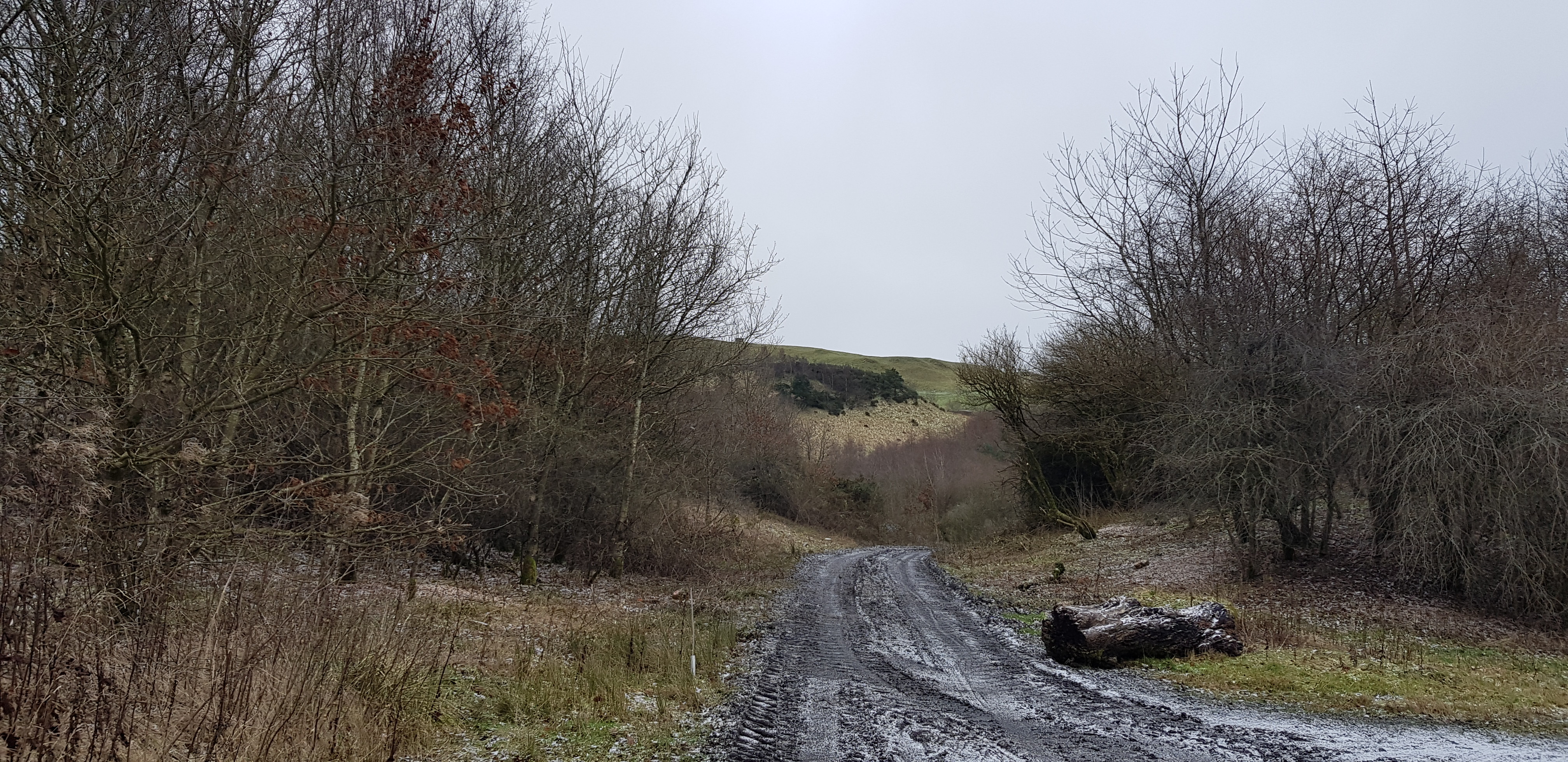
A very muddy/boggy start to this hill

The track looks firm but it wasn't

We definitely weren't walking over that. The ground is being cleared and prepared for some sort of future building work

We are kind of aiming for the green hump in the background

Very tame wooded area compared to what we are used to

Looking down on the mud bath

Looking back down

Looking south, the ground looks very damp

Looking NW, past the mast and building that are no longer used
Looking west to our next 2 hills, Baspard to the south and Orrock slightly higher to the north

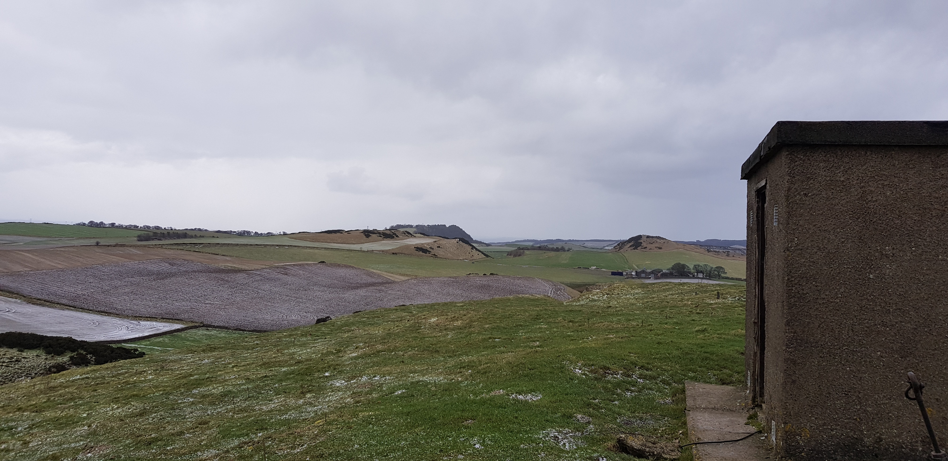
The old fuse box inside the small brick building

Sunshine on Leith - as someone once said
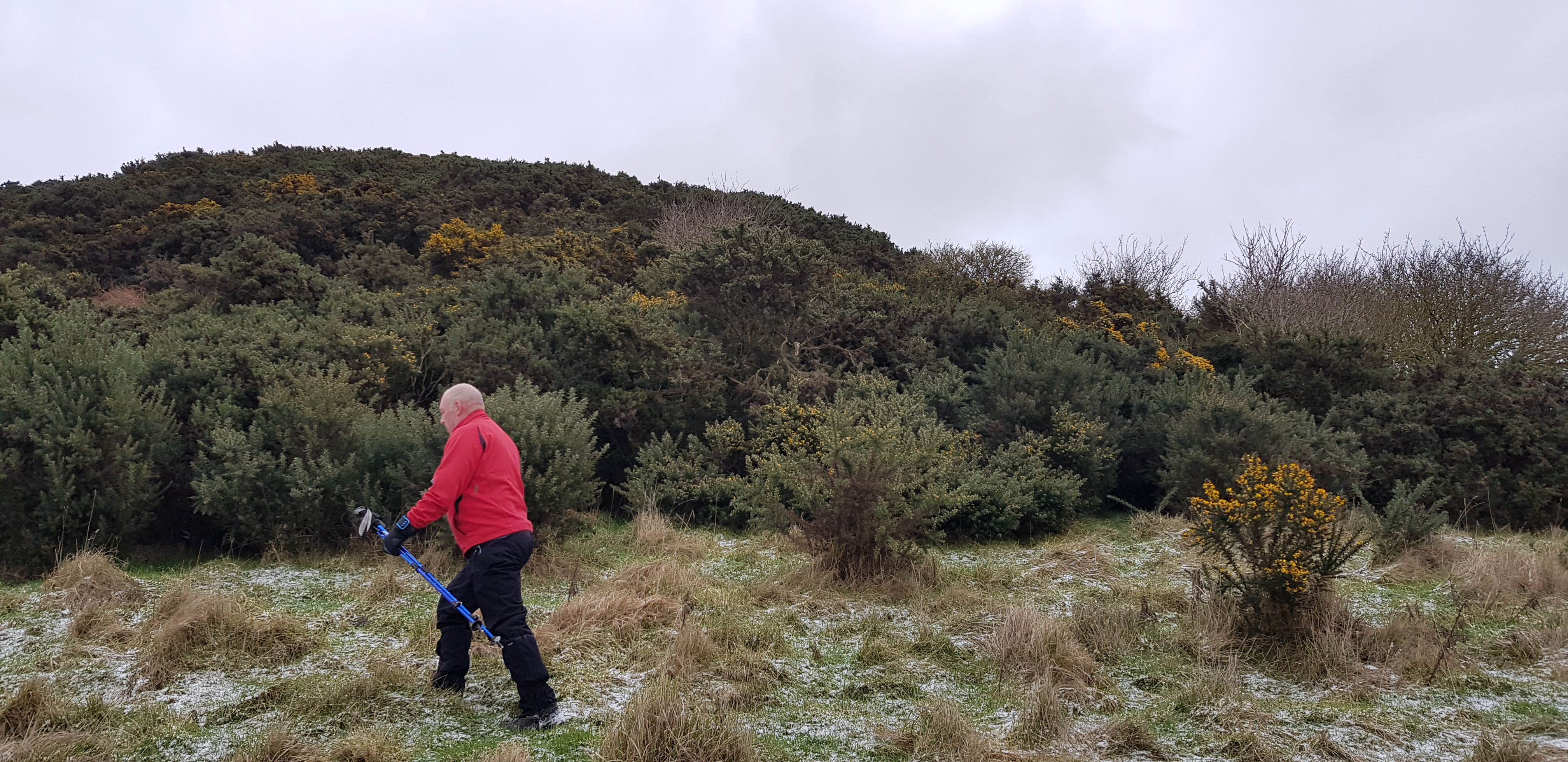
A slightly more interesting hill, a short drive to the parking spot on the unclassified road that runs parallel to the Orrock Quarry road.
Baspard Hill, 197m and Orrock Hill, 205m, 115m of ascent, 4km, 1hr
I thought I had found a parking spot at the wide entrance to Balbie Farm, however the farmer who was kind of clearing snow on the road/track entrance to the farm. He asked me to move as he was expecting an HGV, so I moved about 400m further down the road.

George waiting near the wide farm entrance

Looking back down the farm track the farmer had cleared

Looking across to Baspard Hill, we respectfully walked round the side of the prepared field

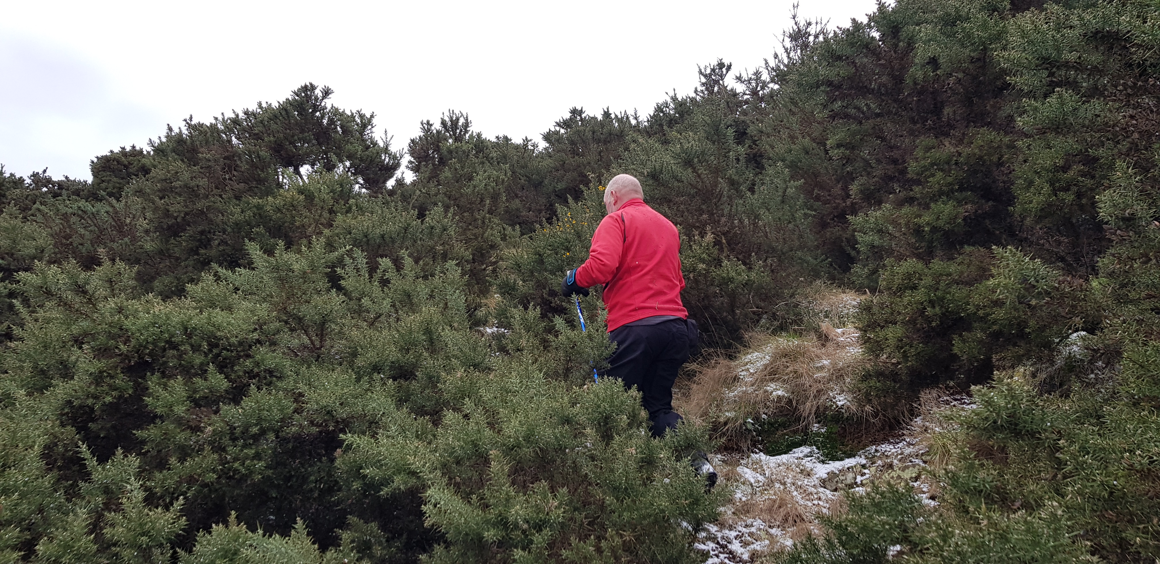
The way through the gorse to the summit

Not far to the summit

Looking across to our next hill, Orrock Hill
The views from Baspard weren't anything special, due to the numerous gorse bushes.

A bit of descending through the gorse before heading across to Orrock

George leading the way downhill, we opted to go round the large puddle at the bottom

Looking back to our descent route
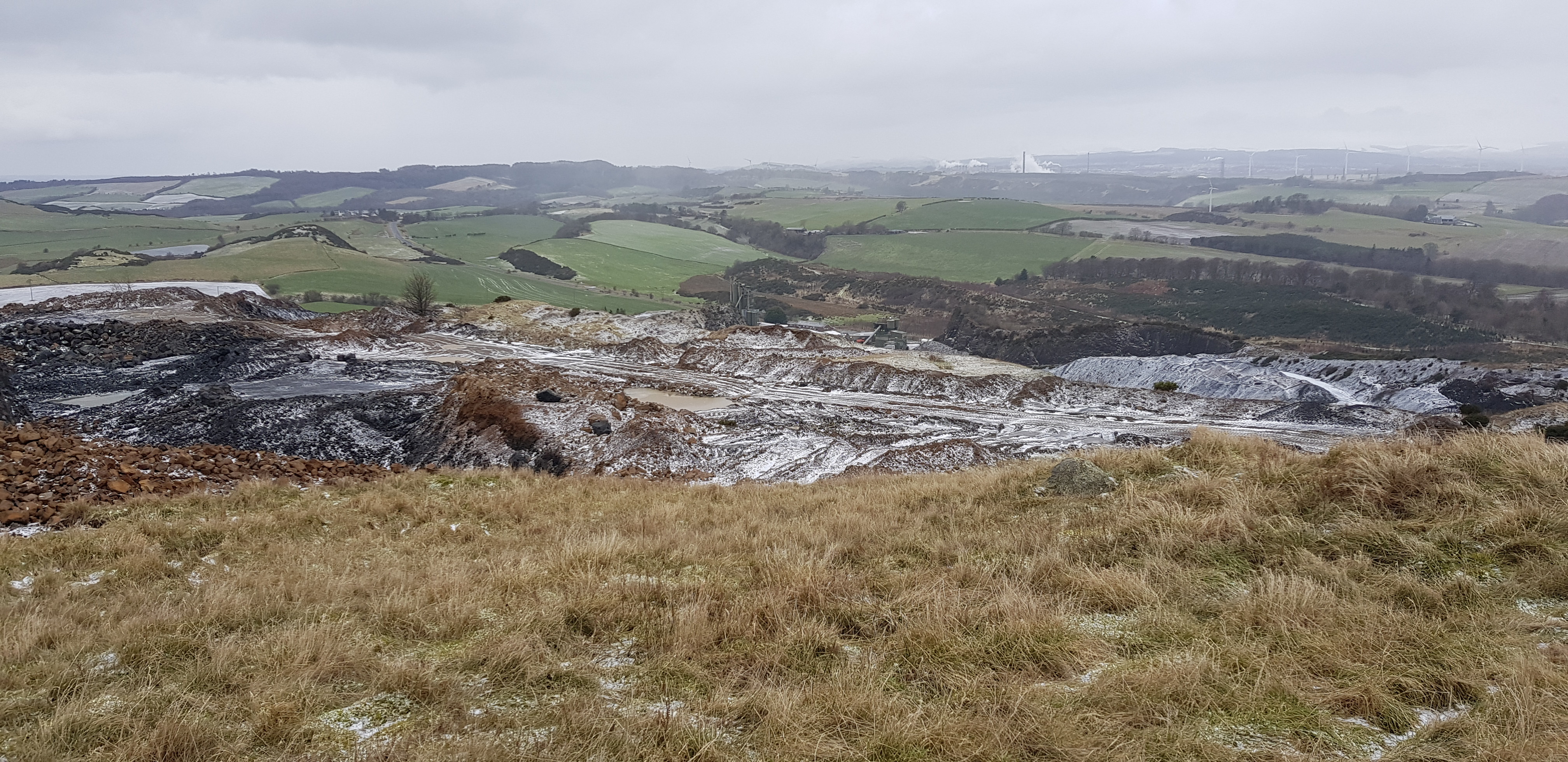
Looking down on Orrock Quarry

Here you Parminder

Arty shot of the quarry

Looking east to our previous hill, Stoneyhall

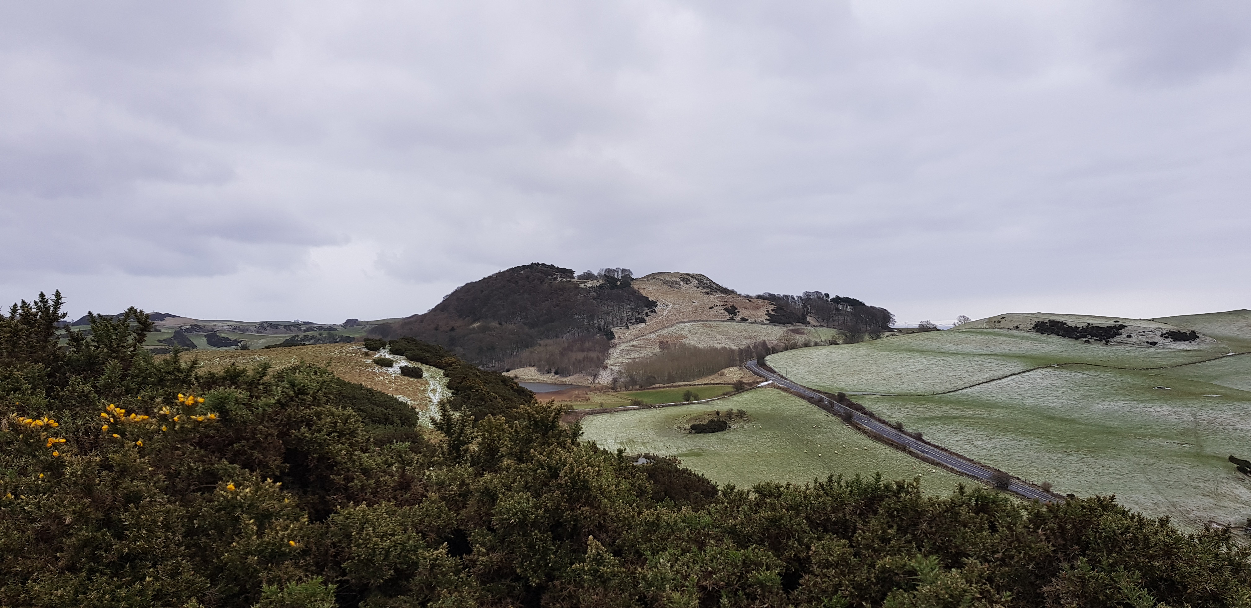
Looking west towards our next hill Dunearn
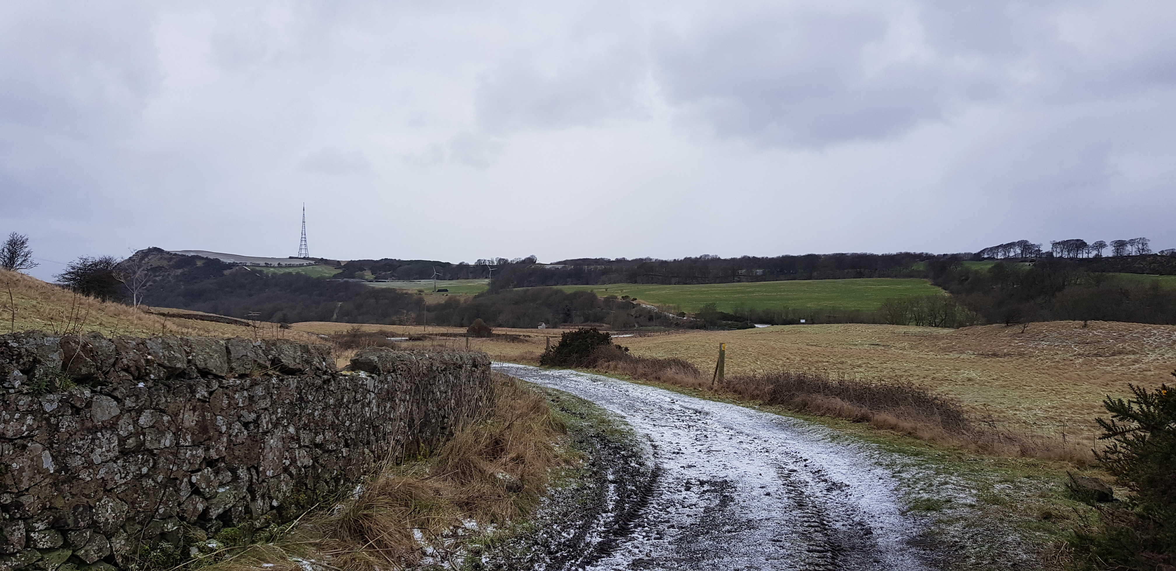
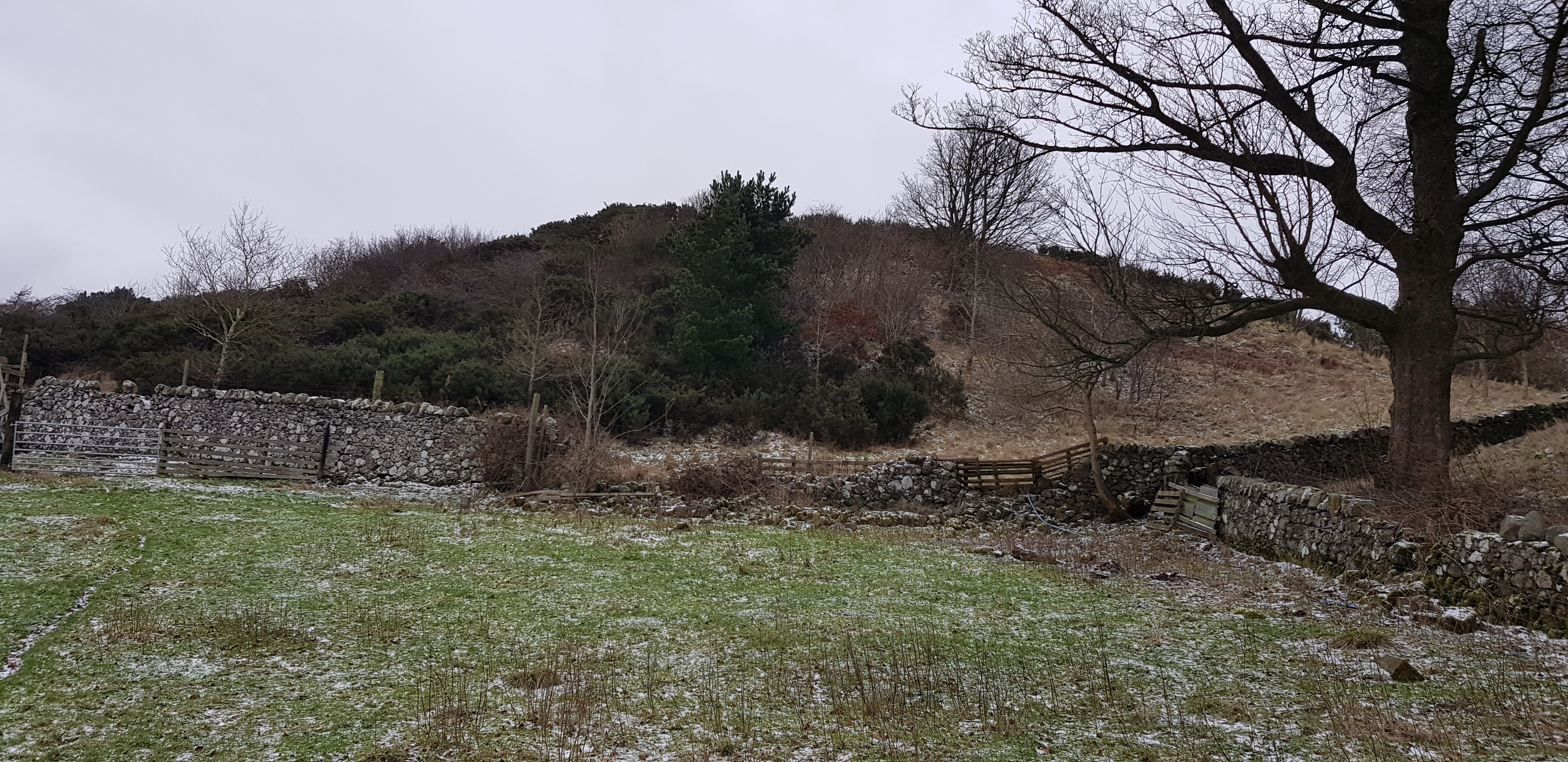
For anyone else contemplating tackling these two hills, there are 2 fences to negotiate each way, apart from that they were OK. A short drive along the unclassified road and we found a small parking spot at the foot of Dunearn Hill.
Dunearn Hill, 223.6m and Montquey Hill, 164m, 172m of ascent, 3.5km, 1hr 15mins
This turned out to be our favourite hill of the day, it was certainly a bit different to the rest.
Looking uphill, we have to somehow make our way up there

The way over the wall was interesting, never seen a contraption like that before

George elegantly climbing the contraption

Once over the wall and looking back, plenty of gorse trying to attack us
Nice gentle climb before it started getting steeper

Looking down on Burntisland

Looking SE towards Aberdour

Looking across/down on our next hill Montquey, also shows the angle of ascent

The lower of the two tops, rather unique, not many hills have an old piano so high up. The ivories haven't been tickled for quite a while

The piano closer up

Loooking down on Montquey, we ascended from the other side and descended by the obvious visible track

Looking north to Mossmorran, we would be much closer soon

Dunearn Loch partly frozen

George taking some professional photo's

The summit is up there, the wall in shot maybe a retaining wall as there is no drop on the other side

On the summit now, looking down on Stenhouse Reservoir

Views are very limited on the summit

George doing his casual summit pose

Looking back to the two tops
A short drive along the A909 to Montquey, parking is very limited.

Looking back to Dunearn from the A909 which in need of a bit of attention

Cars swerving round this mess for obvious reason

Yes we did go up that way, not our best decision
Even from this shot there doesn't look like an obvious ascent route

George volunteered to lead, well I think he did

Looking back, not a problem to us

This kind of shows how much of a struggle the ascent was

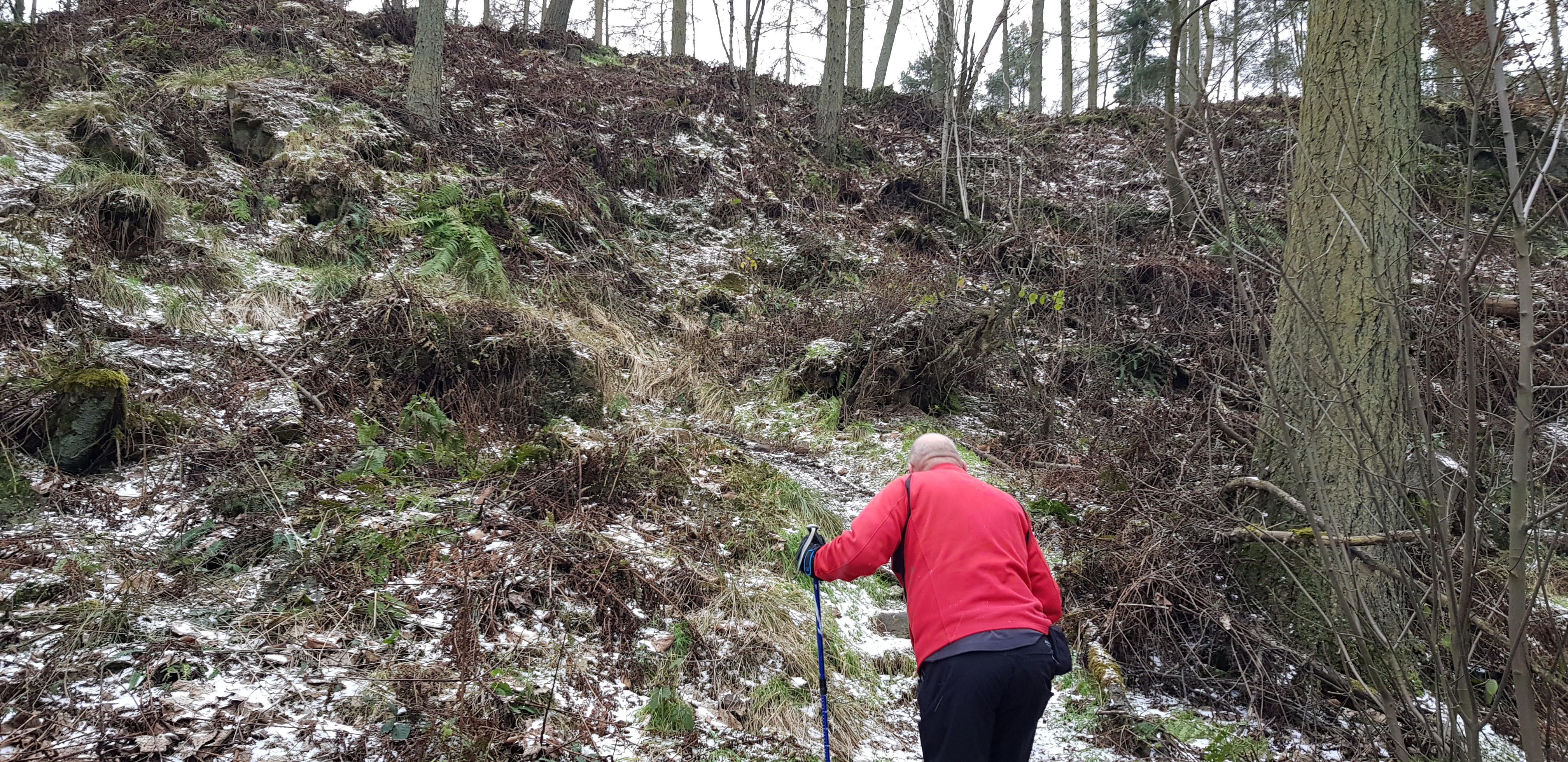
Still can't believe we actually battled through that
A bit of daylight and not far to the summit now - the worst is now behind us

Finally a bit of a view

And then we come across this, it wasn't brought uphill the way we ascended

For anyone who has never seen Fife gorse close up, trust me those pointy bits literally get everywhere
Looking across to Dunearn, the wooded area looks higher

Summit area of Montquey

Cliffs / rock face on eastern end of Montquey
That was definitely the worst gorse experience so far, if it get's worse than that we will be turning back. A short drive past Puddledub to our parking spot for Templehall Hill.
Templehall Hill, 167m, 19m of ascent, 1km, 15mins
This was so easy it was almost embarrassing, especially after our last hill.

The track with a slight incline, looking back

We followed the fence and then climbed over a flattened section, up through the gorse (easy) and we were on the summit

Montquey on the right, Dunearn on the left
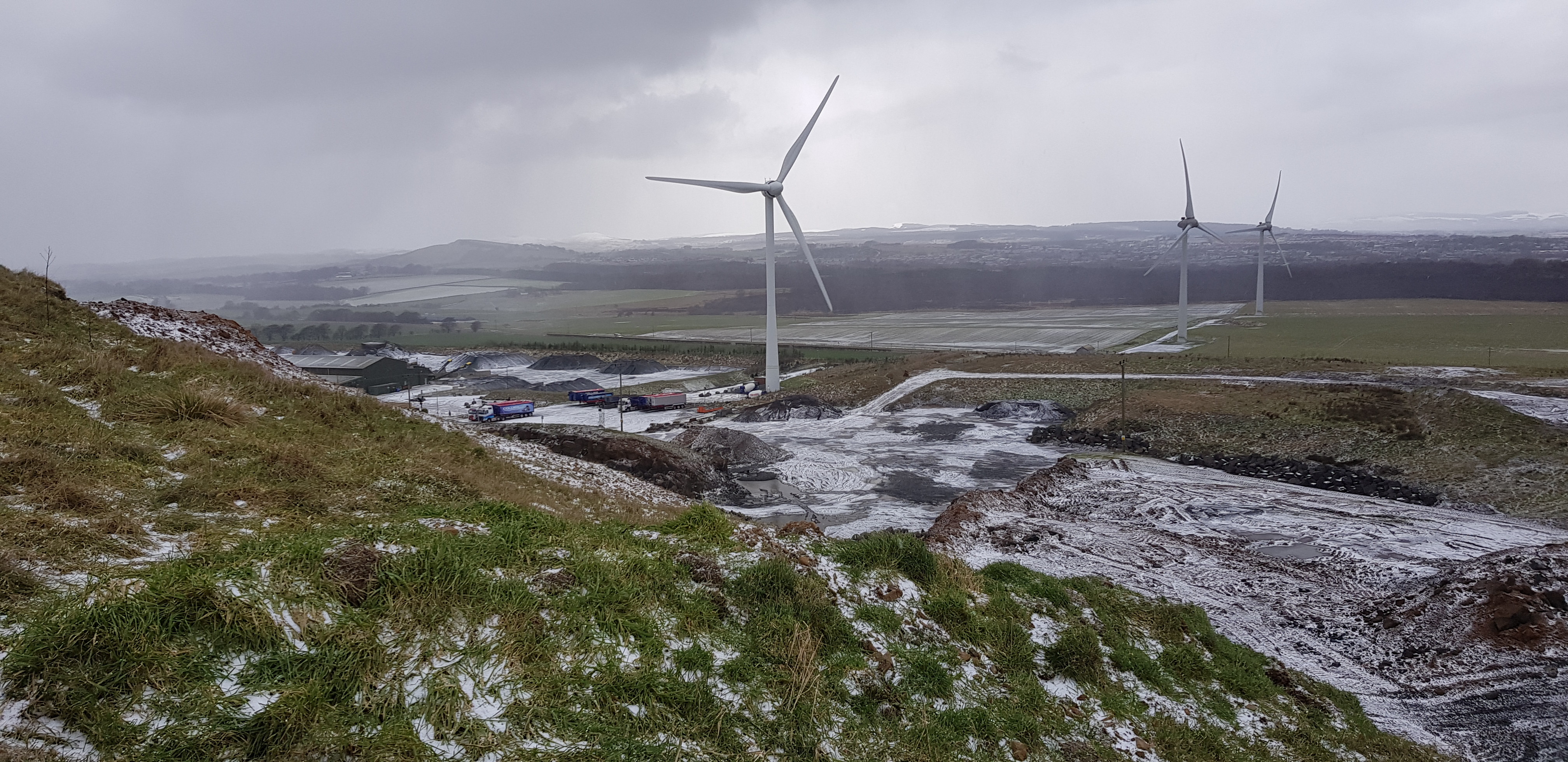
Pilkham Hills, 194m, & Trig across the road, 47m of ascent, 1.7km, 25mins
We parked at the entrance to the turbine not far from Beverkae roundabout. The problem with this hill is that the trig is on the other side of the road about 800m from the true summit and Parminder would expect us to visit the trig and we don't want to let him down as he is stuck in the "wee" city.

Not far to the summit of Pilkham Hills and this is from the car

New additions to the turbines near Loch Gelly

The view from the summit

A slight descent, through a gate, cross the road and then over a fence on the other side before we get near the trig

This turbine looks different to all the others, maybe a new or different design? Any turbine experts on here? It has a large circular bit that the blades come out of

It even creates it's own weather

Here you are Parminder
A very short drive to our final hill, there is space for about 5 cars, obviously popular with dog walkers.
Cullaloe Hill, 219m, 69m of ascent, 1.5km,

The main track through the forest
A bit of ascending, it wasn't as bad as it looks

Looking back, we followed the fence to the summit
Our first sight of Goat Quarry

Eastern end of the quarry, Mossmorran in the background

The rest of the quarry

This is what the summit of a Tump looks like, hardly a monster cairn
Another great day out and a proper mixed bag of hills, the majority were pretty forgettable and the pick of the bunch was Dunearn and the highest of the day.
