free to be able to rate and comment on reports (as well as access 1:25000 mapping).
The latest outing on our Fife Tump trail, another 5 picked off.
Ferry Hill, Hillfield Crescent, Castland Hill, Pinnel Hill & Letham Hill.
We arranged to meet at Inverkeithing Park & Ride which would be very handy for our first 3 hills.
Ferry Hill, 71m, 22m of ascent, 650m, 20mins
We parked very close to the gated access for Ferry Hill without blocking the entrance, it was then a very short walk to the summit.

The way up, well almost up to the summit of Ferry Hill

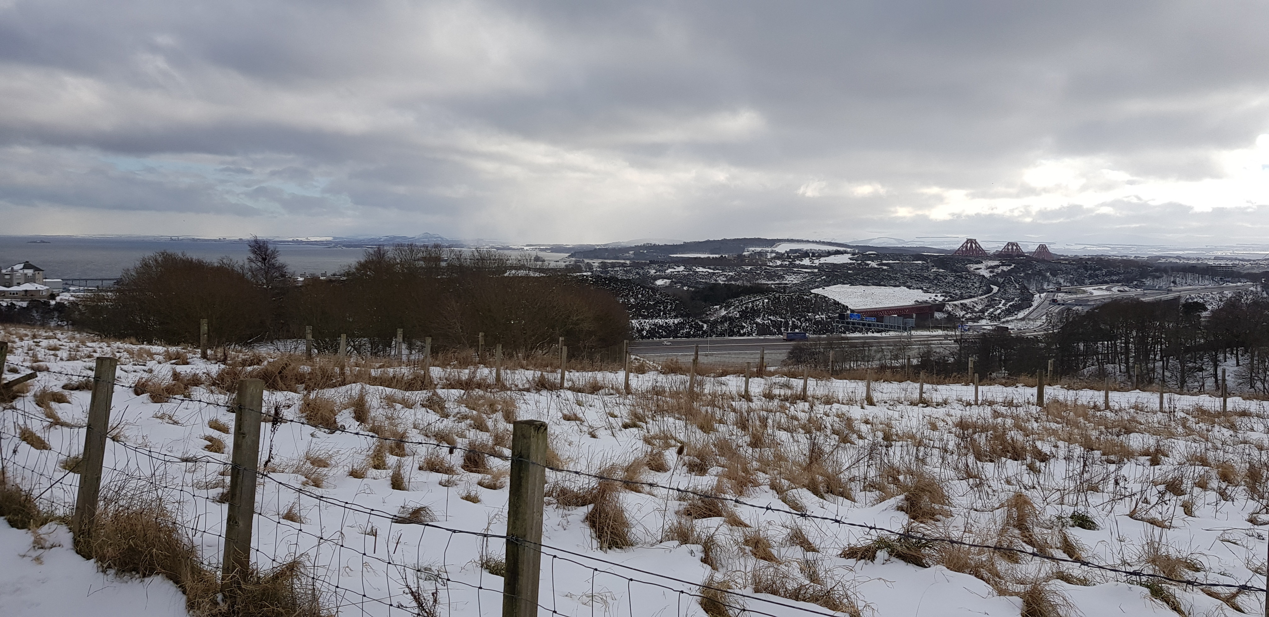
Looking across to Inverkeithing on the left & Dalgety Bay on the right

Cruiks Quarry in the foreground, Inverkeithing across the water

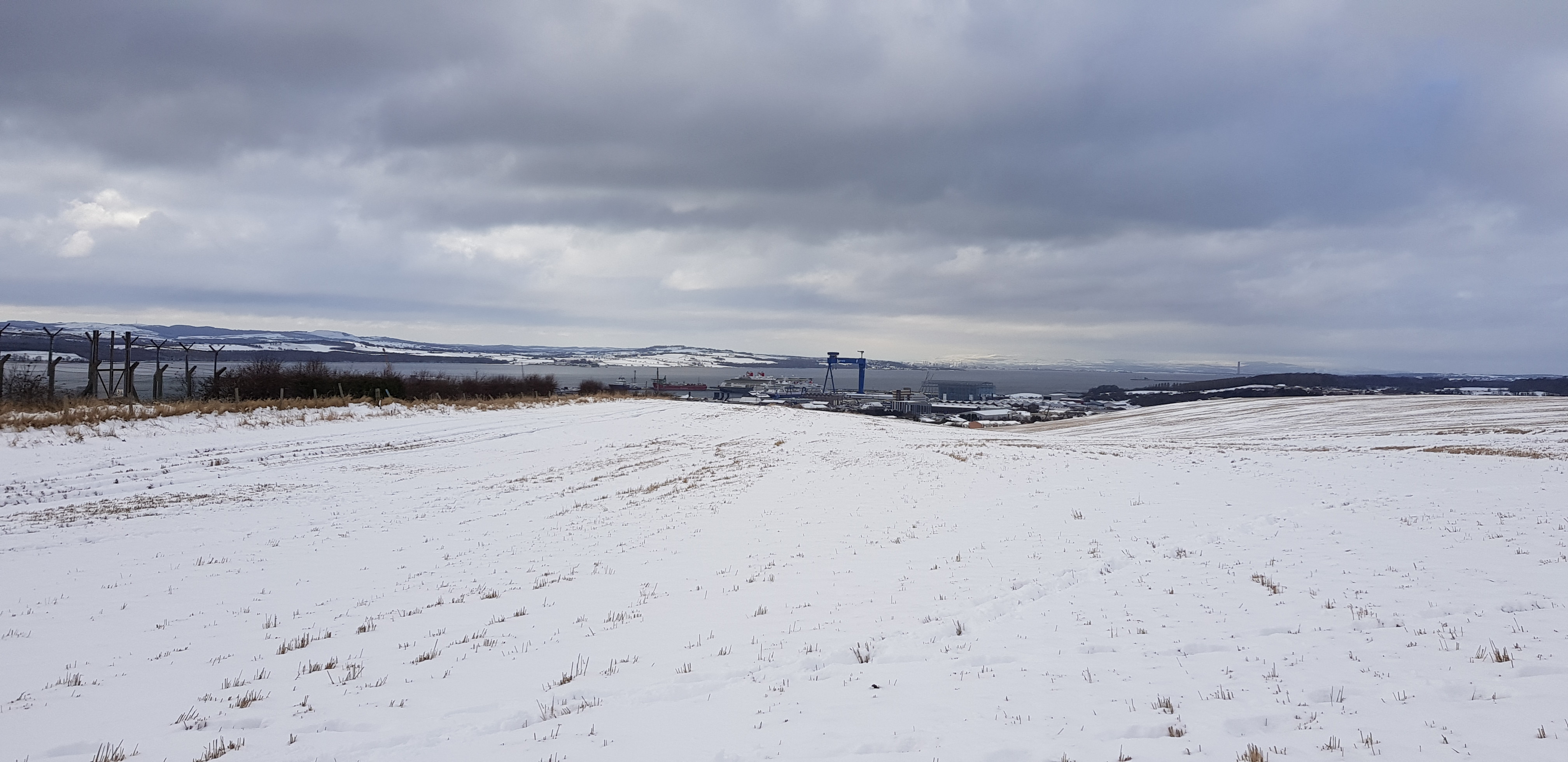
Our 3rd hill Castland Hill with the masts

Quite a deep quarry, the digger looks almost as if it below sea level

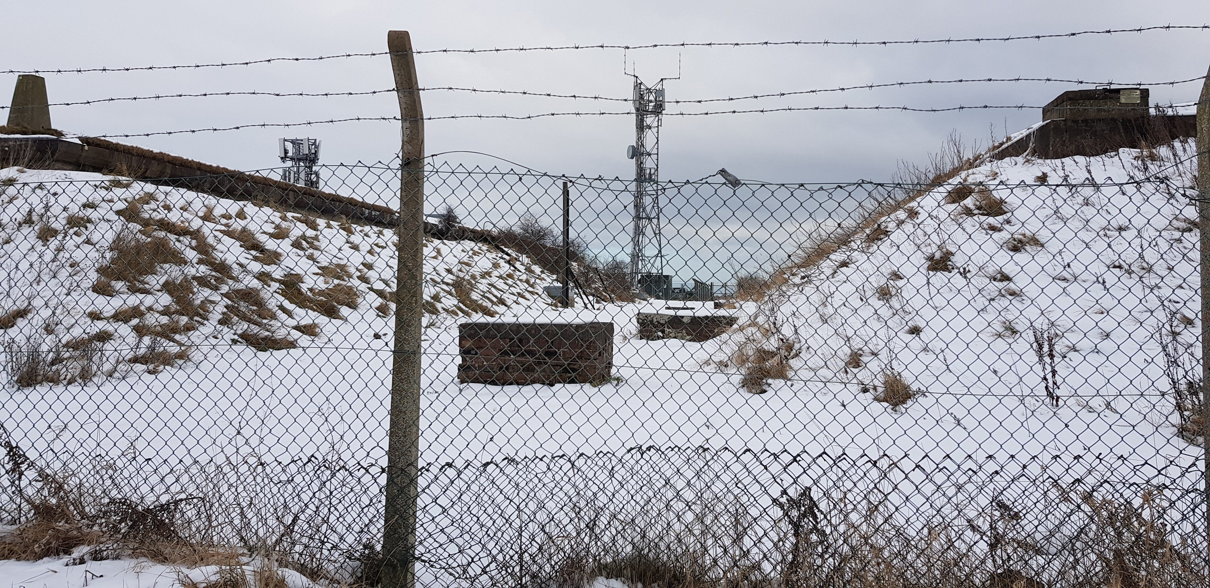
The summit of Ferry Hill, all fenced off and a definite no go area

Rosyth dockyard and 4 cruise liners that have been moored since last March
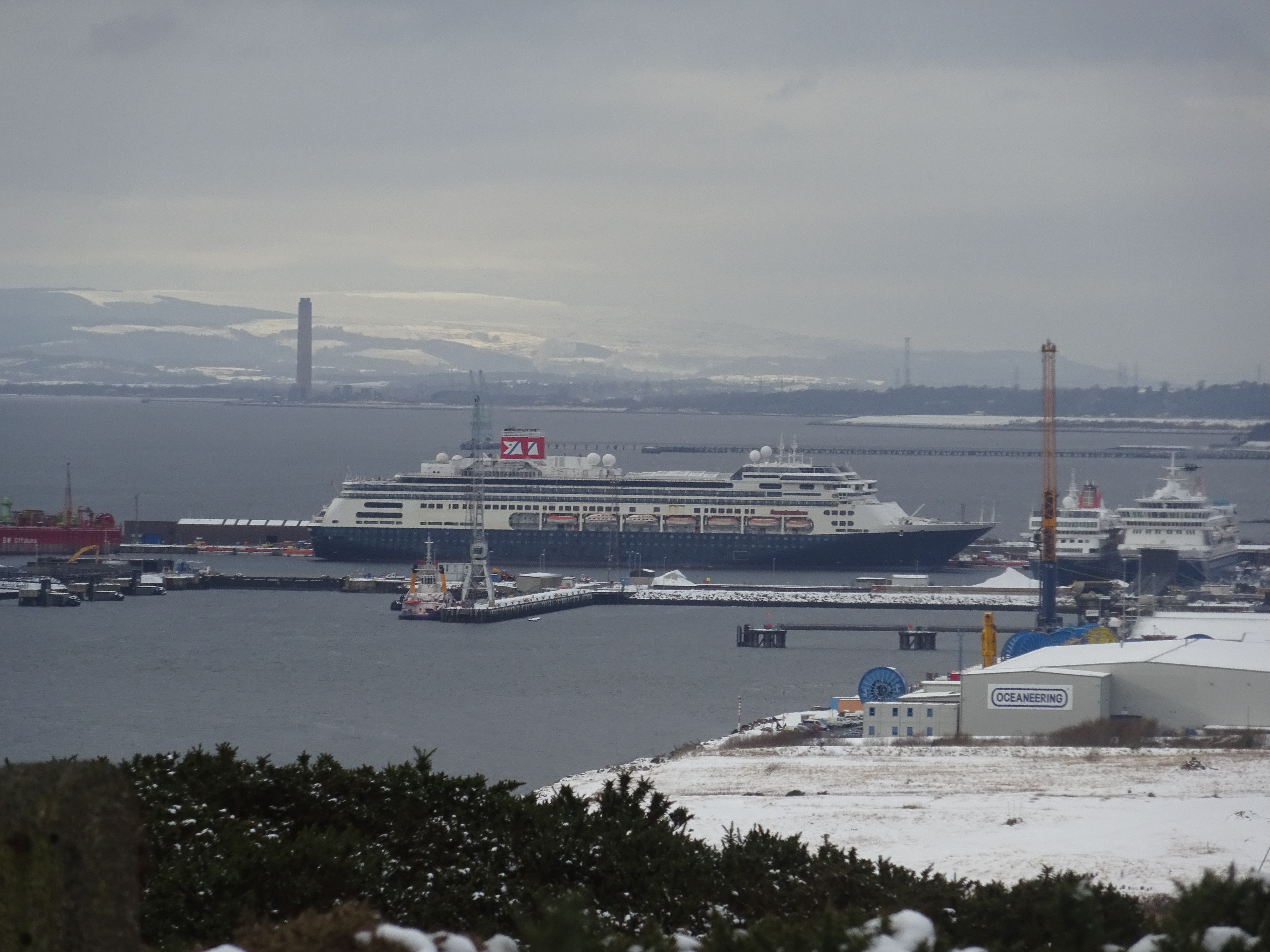
Zoomed
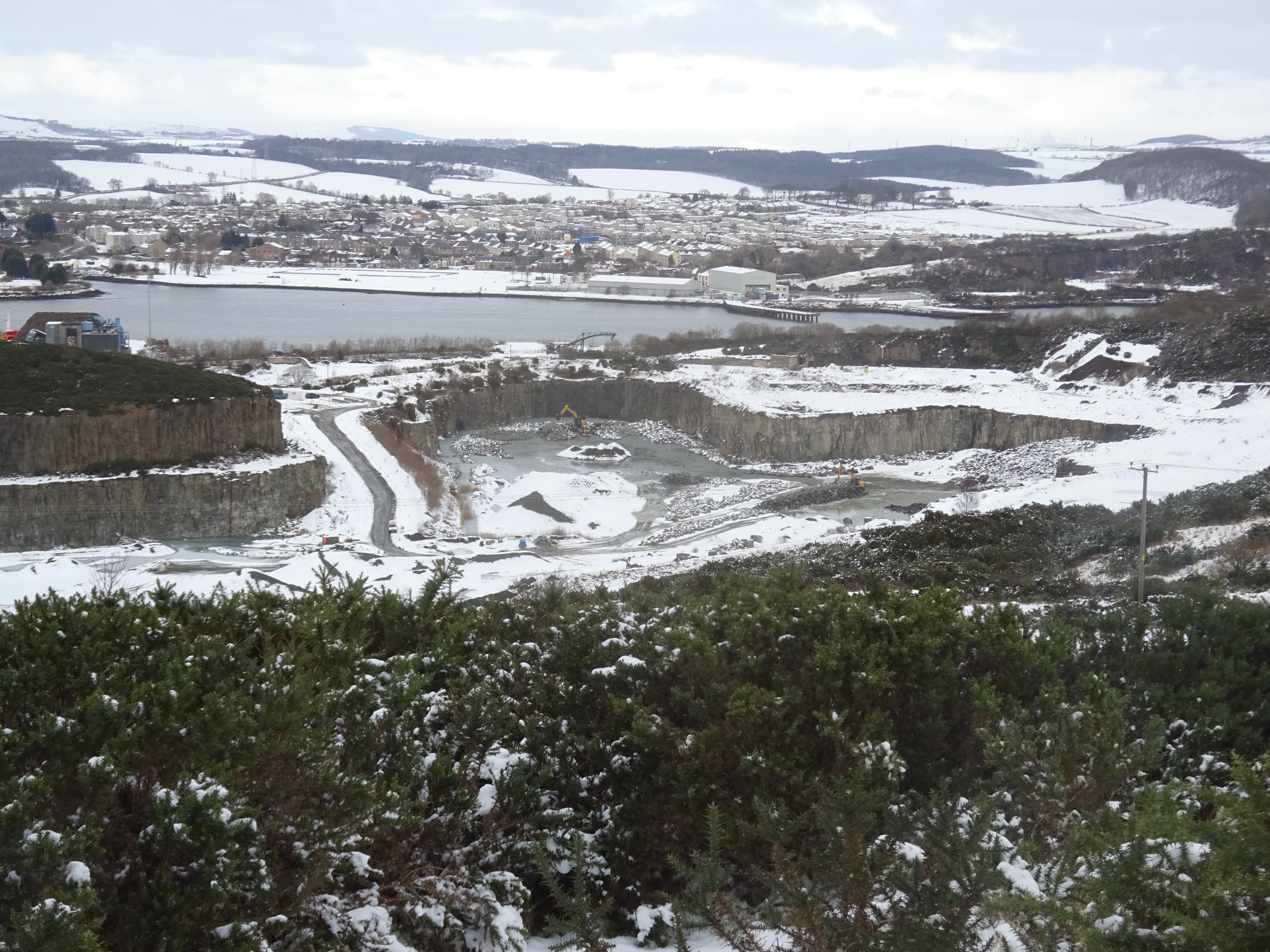
Quarry zoomed

Dalgety Bay zoomed

Boats zoomed
A short drive to our next exciting Tump in Inverkeithing, we parked on Hillfield Crescent took a couple of photo's then left.
Hillfield Crescent, 77m - get out of the car walk 10m ascent less than a metre
Not even sure why this is even called a hill, not sure what the residents thought seeing 2 guys in boots and gaiters on a snowy bit of grass.

Not sure what George was taking a photo of?
Another very short drive, we were originally going to park on Castlandhill Road, but there is a road up to the masts on the hill as well as about a dozen or so houses. There was no sign indicating restricting access so we drove uphill and parked on a grassy area just before the houses.
Castland Hill, 85m, 16m of ascent, 800m, 20mins

A couple of bridges over the Forth

The summit area, out of bounds to Joe Public
Rosyth Dockyard

Sorry Parminder but the trig is out of bounds
Looks like someone has either got through or tried to get through the fence
Looking SE, M90 in the foreground

Bridges again before we head east to Dalgety Bay
A short car journey to Dalgety Bay railway station car park which would be the base for our last 2 hills.
Pinnel Hill, 82m
From the research I did I knew this hill might be a problem access wise and that is exactly how it turned out.

We opted to leave the main road A921 which doesn't have a pavement and crossed the first overbridge over the railway

A gate to climb over

A walk along the edge of a field, following in someone else's footsteps

And then - we came to this gate, obviously we had to find an alternative route

Before we reached the gate we turned left onto a track, which must be used by dog walkers as signs were aplenty asking dogs to be on leads

This sort of terrain was easy peasy for us and we were heading in the right direction again

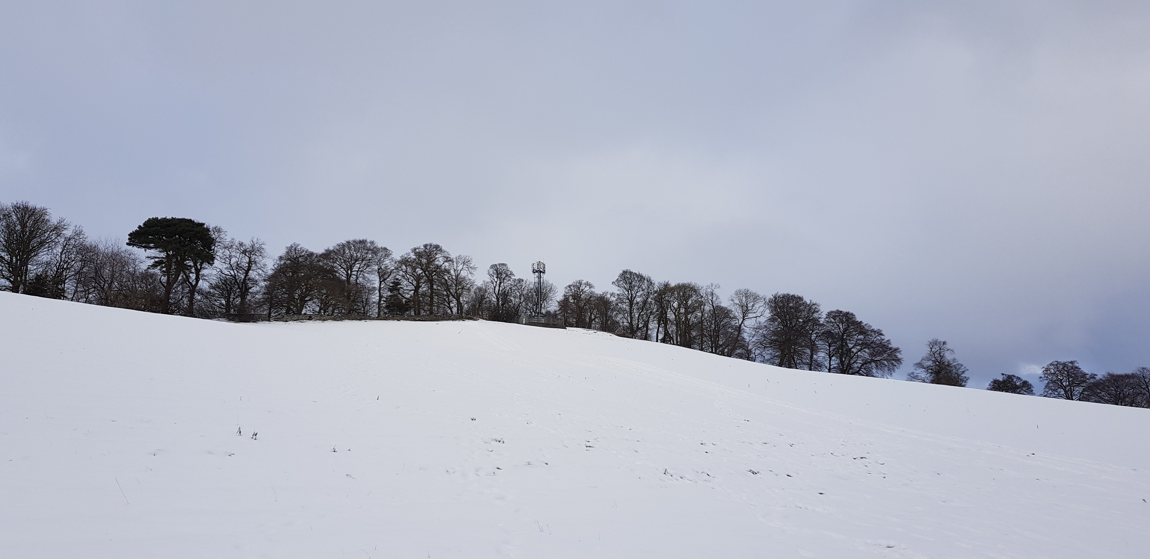
We could now see the mast which is very close to the summit
We have gained a wee bit of height
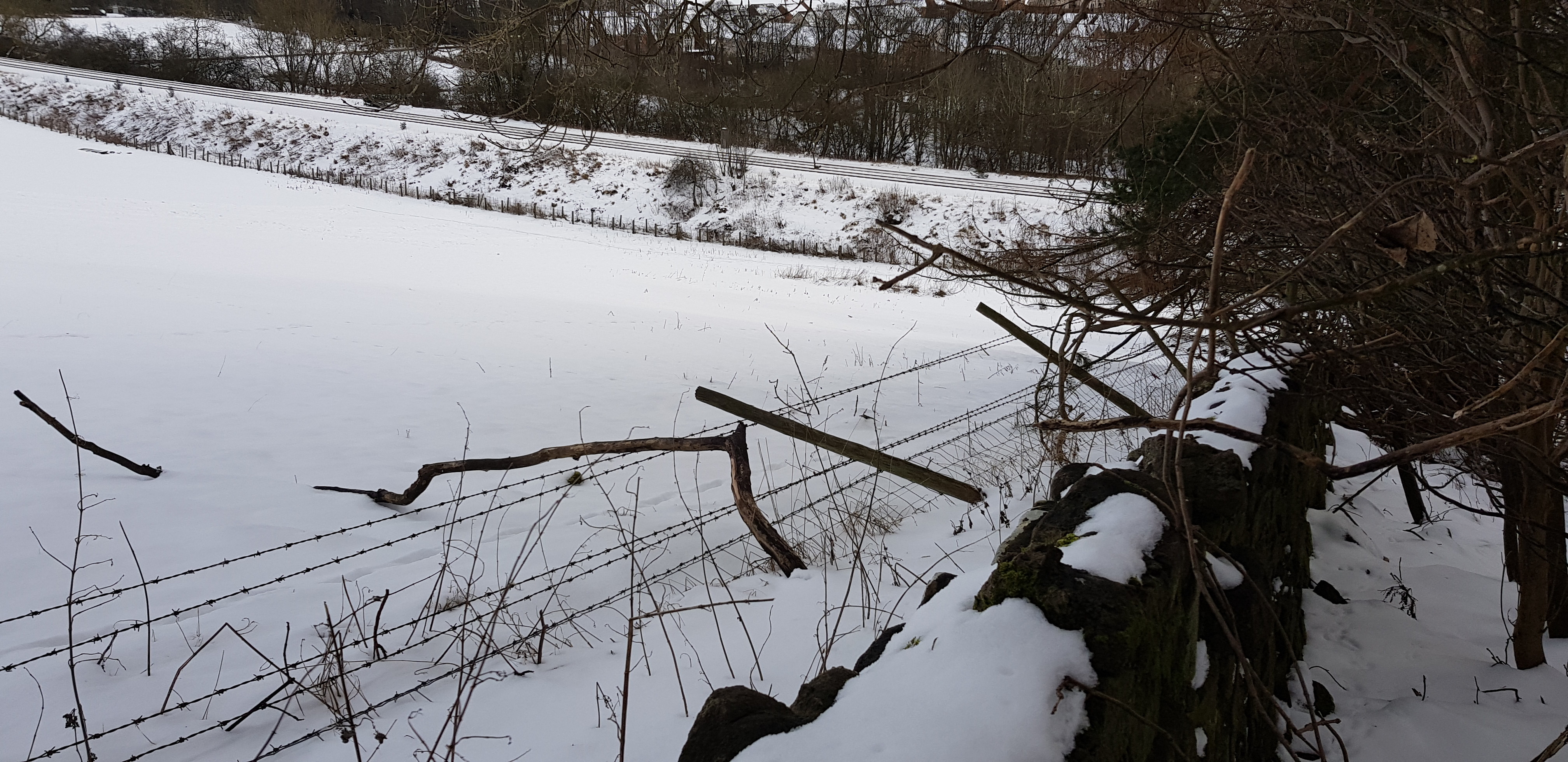
A fence with 3 layers of barbed wire, luckily it had been flattened before we arrived

George romping uphill to the summit area

The summit is through there, over another fence

Looking across the Forth to the "Wee city" as someone calls it
The summit is on top of the old ruin

Not a great view from the summit of Pinnel Hill

Look carefully and you will see the daily train

We are now descending, someone had been sledging
Looking back uphill

At the bottom of the hill we turned right and an underpass under the railway line - a much easier way to Pinnel Hill
Once through the underpass we are on the A921. This section of the A921 does not have any pavement, we were expecting the traffic should have been reduced as we are in lockdown, but the traffic was fairly steady. We had to walk on the uneven grass which was covered in lovely slushy dirty snow - so glad we had our boots on. The walk to the railway car park is about 1.5km. We continued past the car park to the steps which mark the entrance / access to Letham Hill.
Letham Hill, 95m, a total of 160m, 6km, 90mins for the last two hills

The way up to Letham Hill


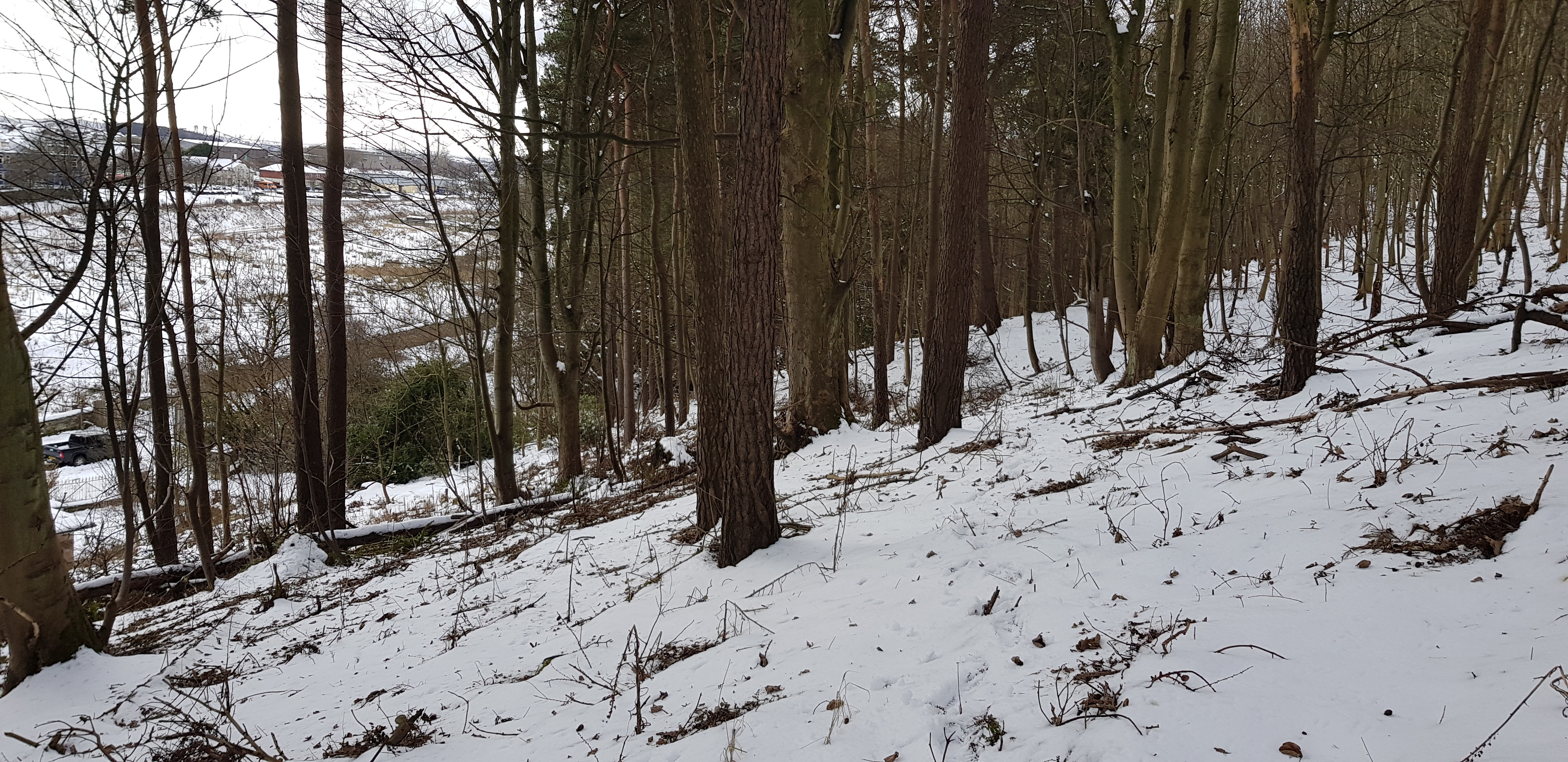
Letham Hill consists of a long broad tree covered ridge that runs parallel to the A921

Not the jungle warfare we are used to, all very tame

Needs a bit of a touch up with some more pink paint - very limited view

Possibly the summit
A very nice way to spend an afternoon, thanks as always to George. Our next little outing will take us to NW Fife near Newburgh (again). The hills will be more than twice the height of these wee lumps. We still have about 60 hills left in Fife so that should keep us busy during lockdown - however long it is going to last.
