free to be able to rate and comment on reports (as well as access 1:25000 mapping).
Yet another week doing the same old things, every day seems the same and we are all chomping at the bit to get back to some sort of normality.
As I am getting on in years I had my jag on Thursday (3 days before going out), felt a bit lethargic on the Friday no energy and couldn't seem to get warm. Felt OK on Saturday so we were good to escape to visit some more wee hills on the Sunday.
We arranged to meet slightly earlier as I estimated that the hills may be a bit more demanding - time wise.
The plan for the day was to tackle 7 Tumps: Yellow Hill, Beins Law, Pitlour Hill, Black Hill, Woodheads Hill, Cowden Hill - I wimped out of Lindores Hill as I ran out of energy and George also opted to leave it till our next outing.
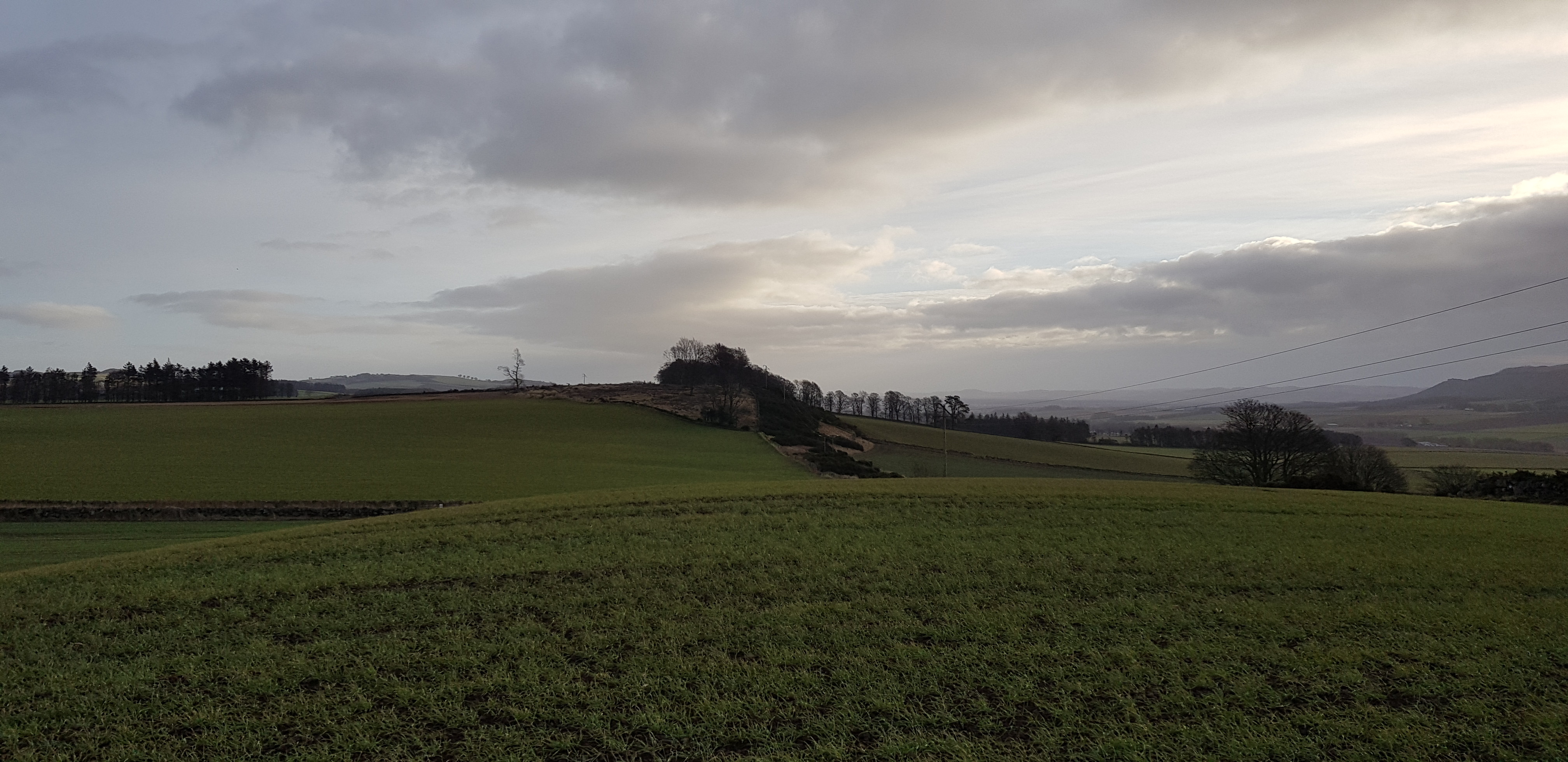
Yellow Hill, 197m, 55m of ascent, 2.8km, 32mins

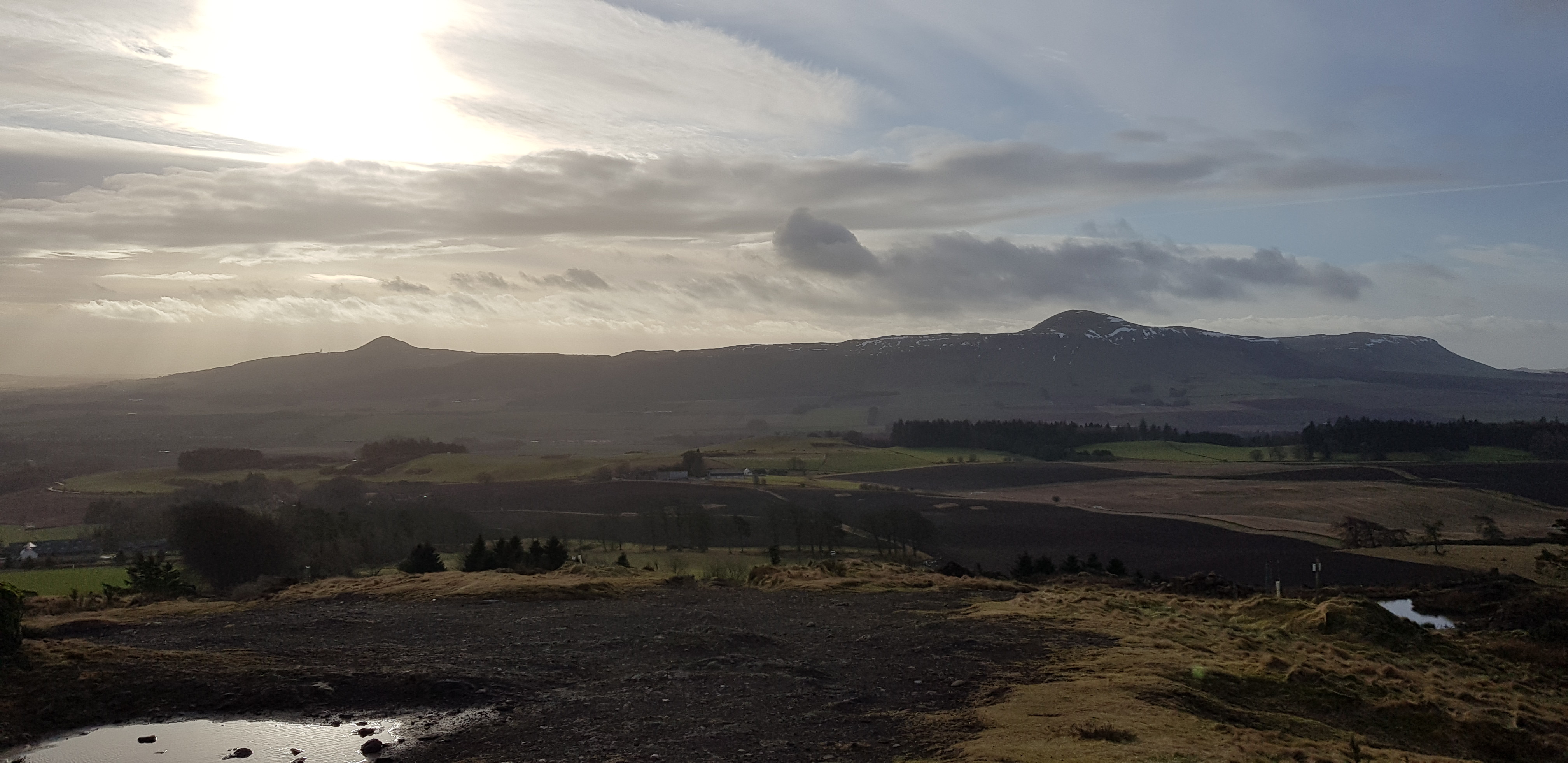
West Lomond in the distance on the track to Yellow Hill

We walked up the tractor tracks to the trig

Not quite sure what George is thinking, certainly giving the trig a good stare

Getting the trig number for our absent colleague

Here it is Parminder
Not the most exciting summit area

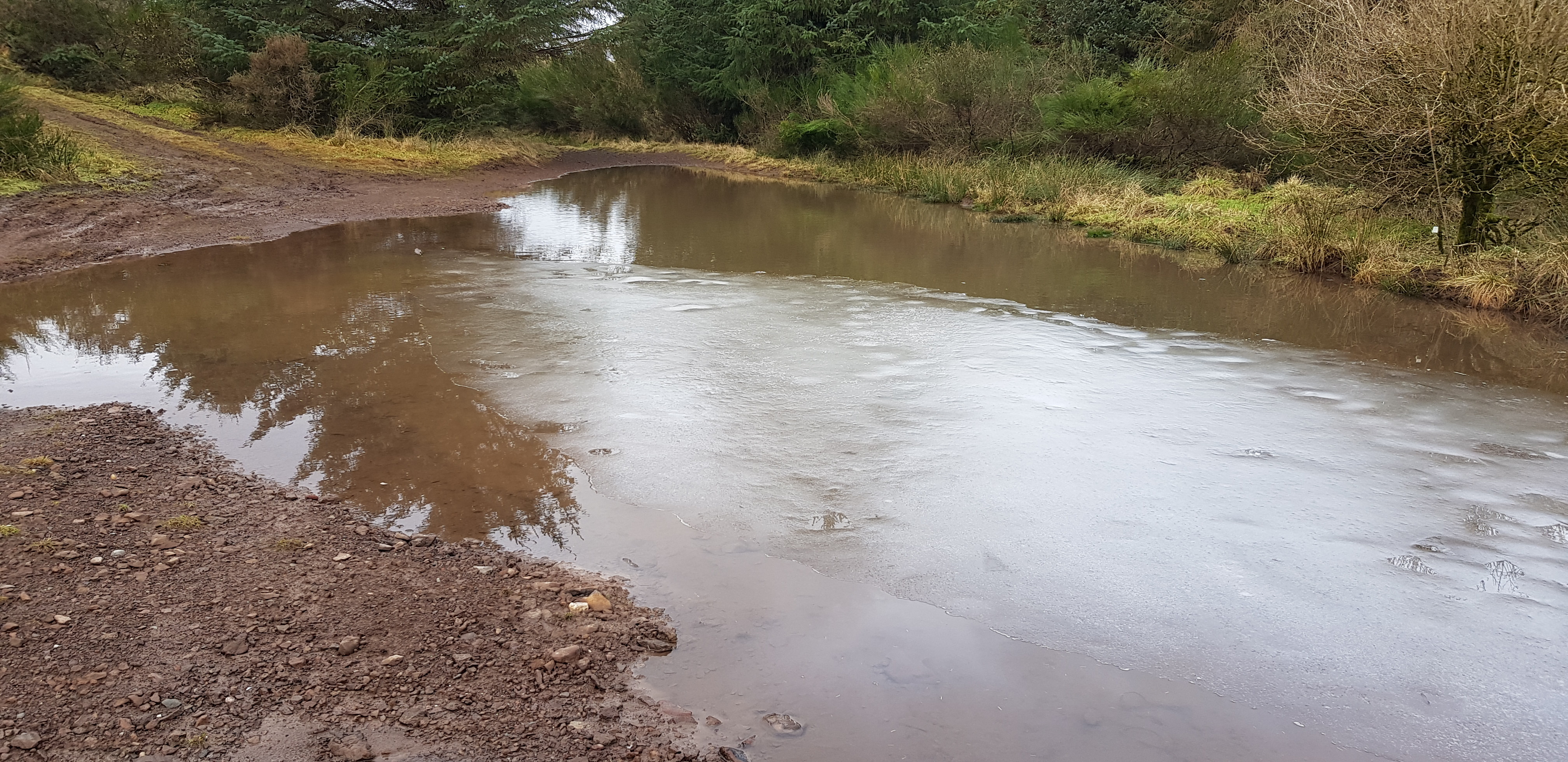
Snow melt or rain could be either as we have had plenty
Beins Law, 268m, 60m of ascent, 2km, 33mins
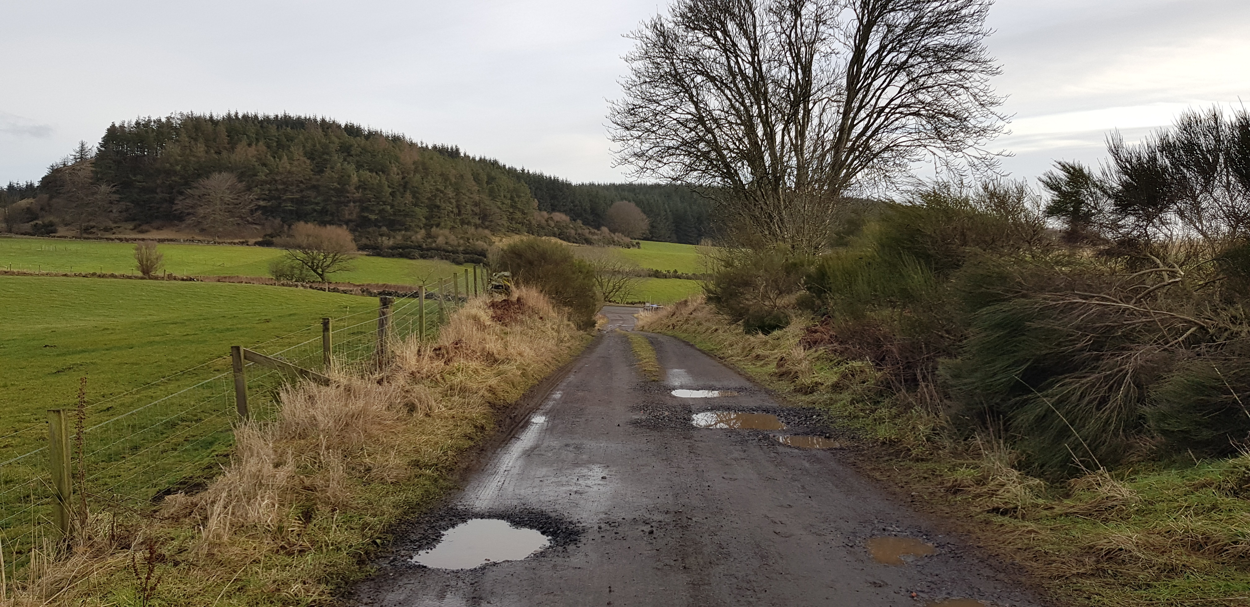
Looking back to the main road
Plenty of puddles of varying sizes

Unique surface that we have never seen before

A close up of what the surface was made up of

Basically consists of any household rubbish

There are tracks everywhere, not sure how you navigate
Not sure I would fancy driving through that?

Not sure what George is studying? We would be heading up the hill

Summit of Beins Law, not far now

I think this is aimed at vehicular traffic
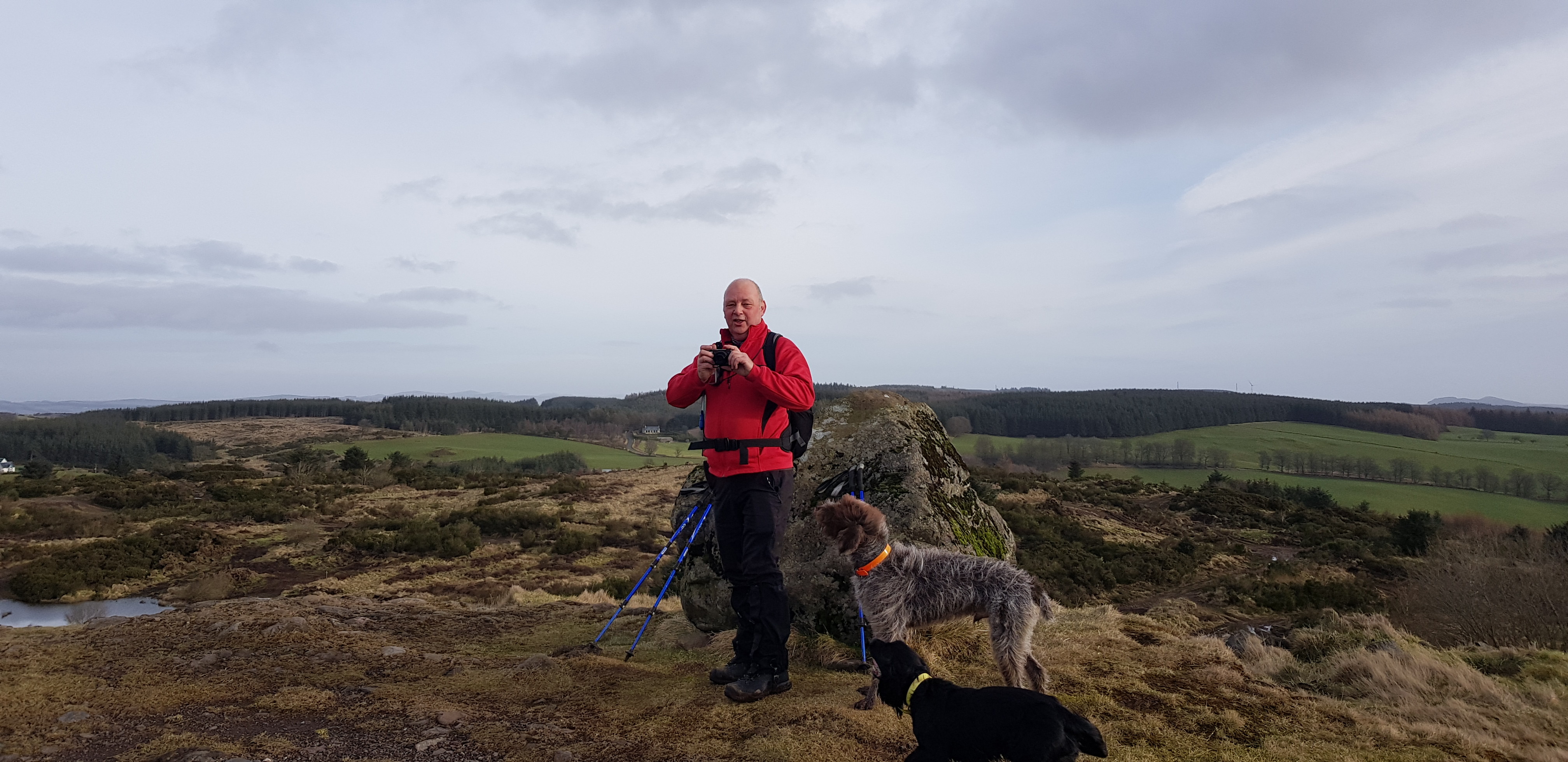
George posing on the summit with 2 of his new friends
The Lomonds from the summit of Beins Law
Pitlour Hill, 275m, 222m of ascent, 5.2km, 1hr 8min
When I plotted the route on the GPS system, Naismith reliably informed me it would take 1hr 40mins - we went exactly the same route so he must have stopped for his lunch or something?
A short drive down the road towards Strathmiglo and we arrived at the planned start for tackling Pitlour. One thing that was very obvious was the amount of height we lost heading south in the car.

Some sort of walled garden part of Pitlour House?

A different look inside the walls
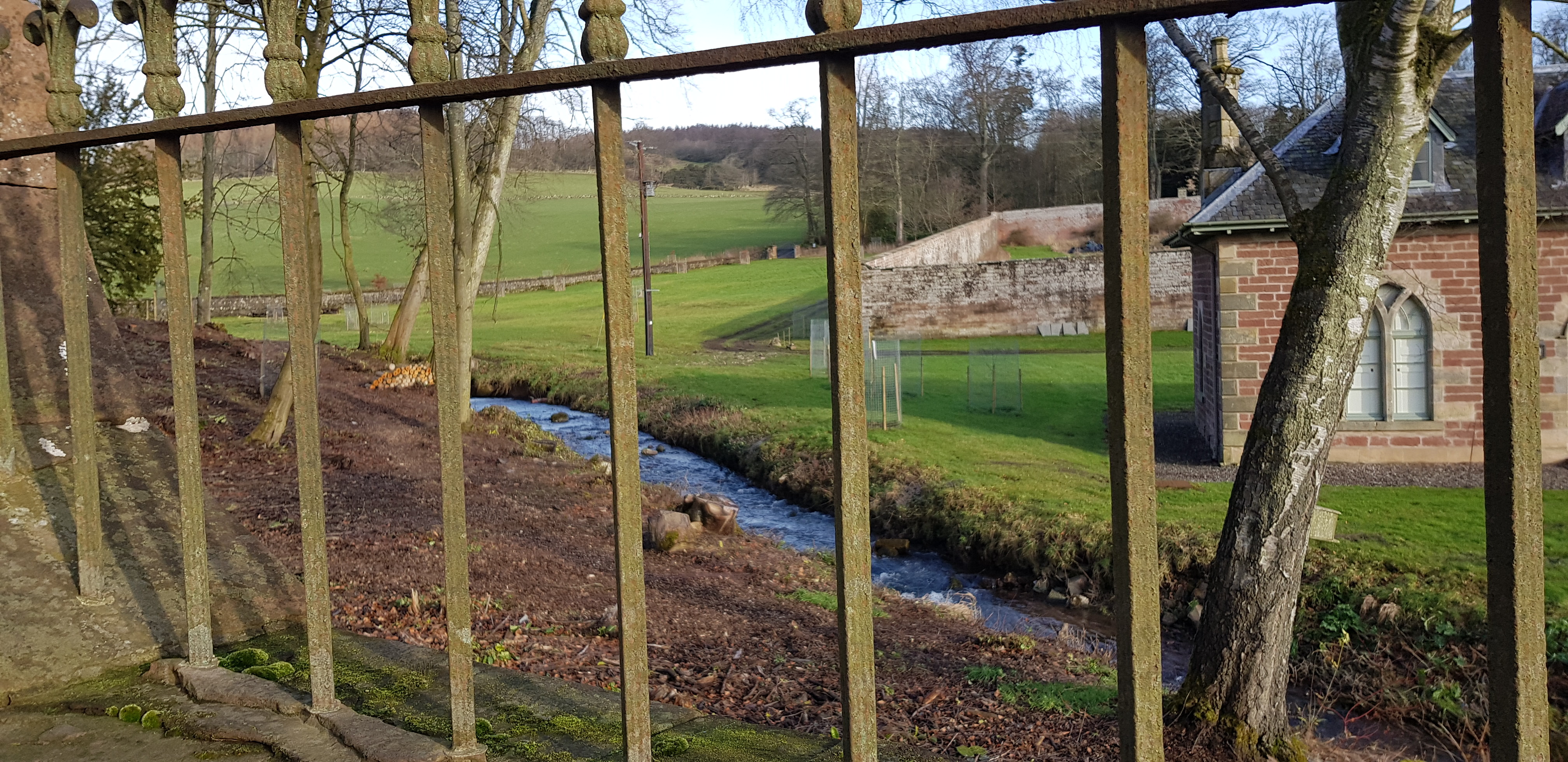
Another view

West Lodge front door

The way ahead, good track for the majority of the walk

First gate to climb over, large group of ruined buildings shown as Wester Pitlour on the map

Looking back at Wester Pitlour with West Lomond in the background

Standing stanes

Odd small line of trees, not far from the summit of Pitlour

Trig on the summit of Pitlour
A slightly longer drive taking us through Auchtermuchty and then north up towards Newburgh, we then turned left onto an unclassified road where parking is a real problem. The plan was to tackle the next 3 hills from the same parking spot.
Black Hill, 213m, 120m of ascent, 3.5km, 1hr
After heading slightly uphill on a rather muddy track we then turned right for Black Hill, we would be returning via the same spot and going straight across the track to tackle Woodheads Hill.

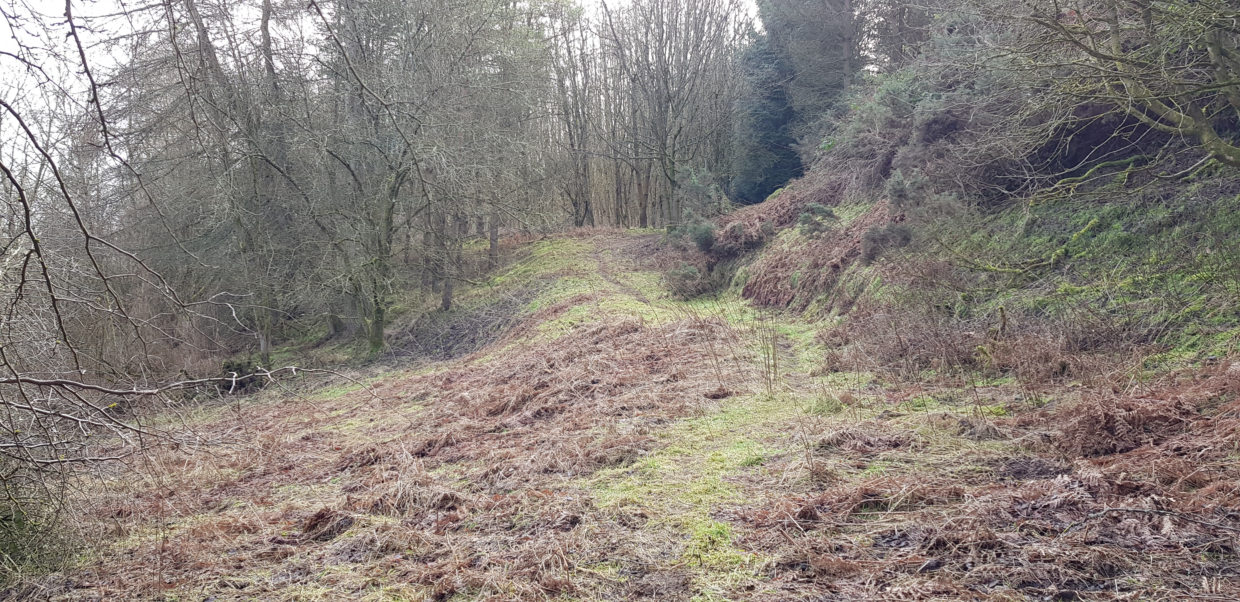
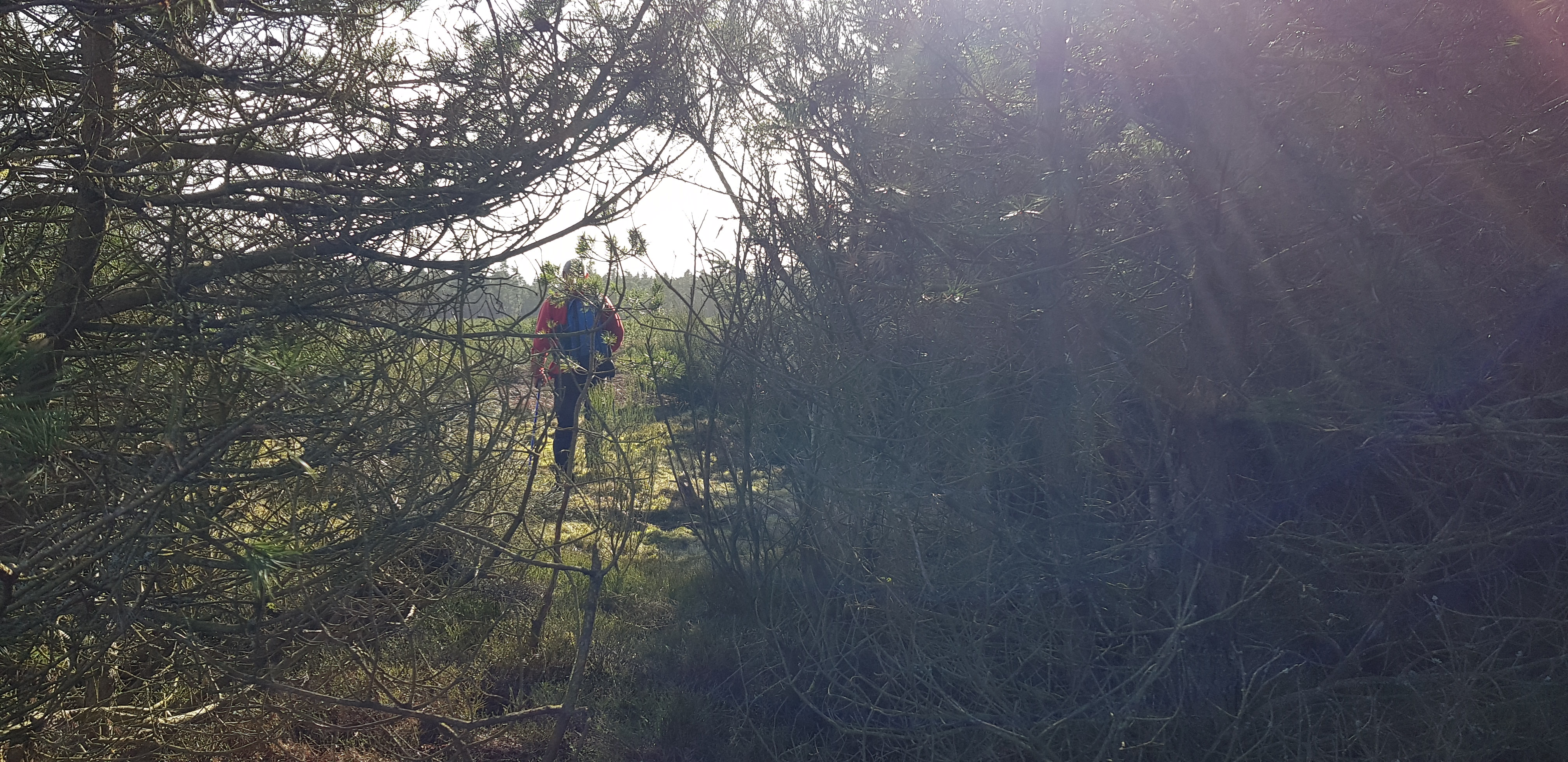
George leading the way, once the track has been left behind the majority of the walk is in a forest

Easy going so far
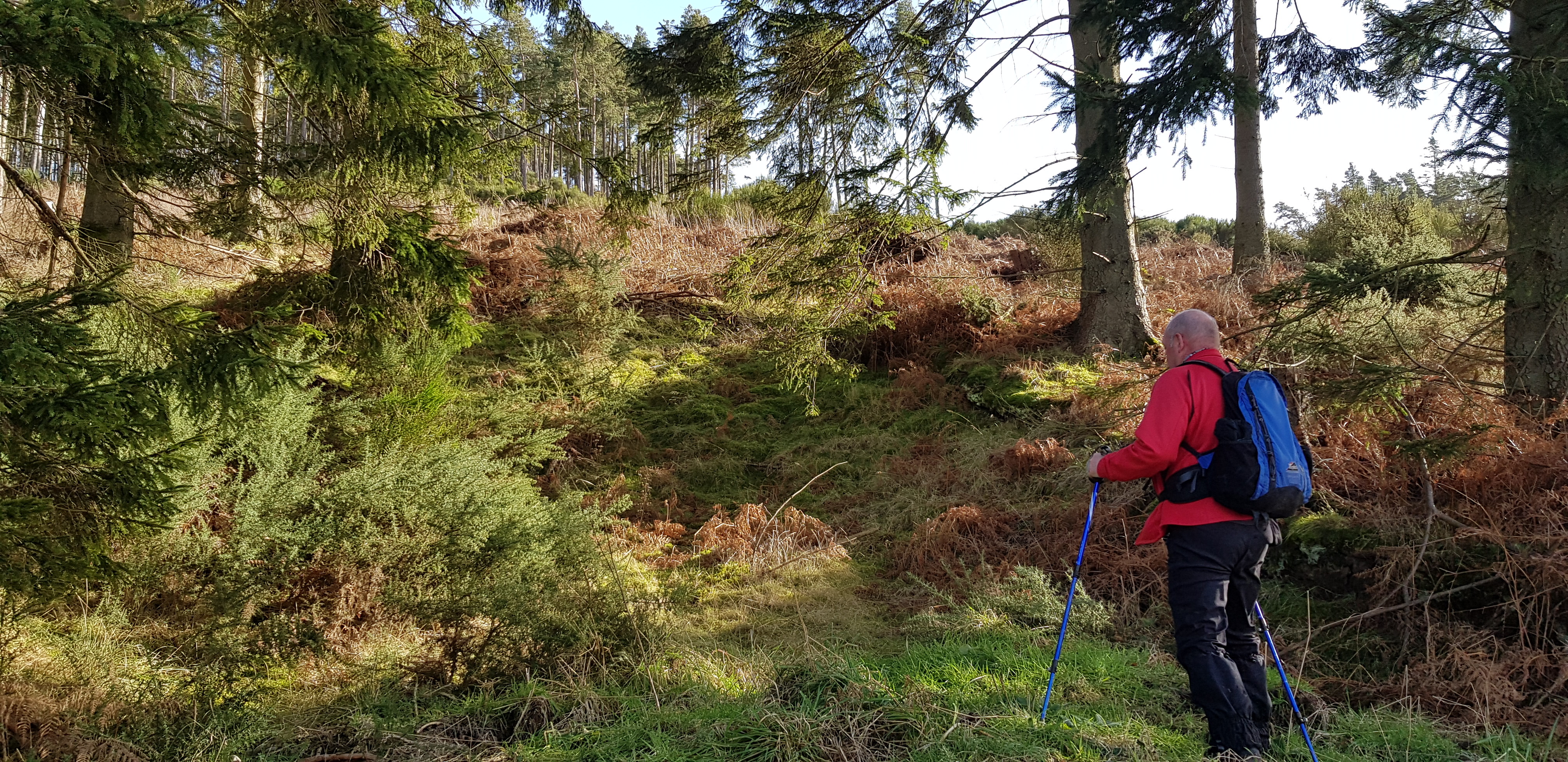
There are quite a few faint paths and we tried out a couple of them that took us in the wrong direction

Easy going for us

Evidence of heavy machinery

We have been through much worse than that

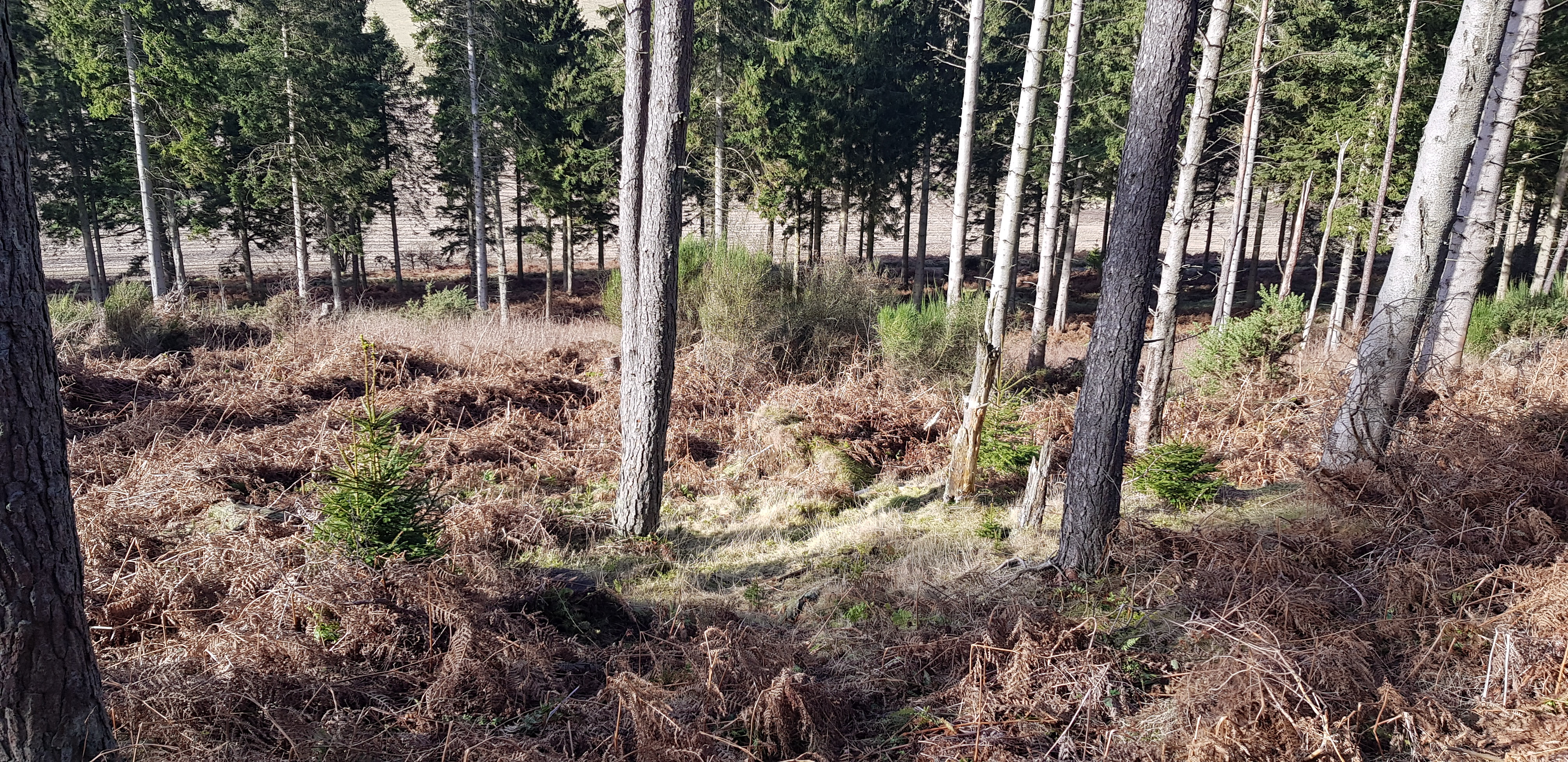
This is the summit area of Black Hill, not the best of views
Woodheads Hill, 196m, 105m of ascent, 2km, 40mins

On our way up Woodheads Hill, looking across to Black Hill
We are now off piste and have taken the direct route up to Woodheads Hill
Looking back down towards the track
The trig was well hidden but we couldn't let Parminder down and we found it after a bit of hunting around

The trig on Woodheads Hill, George getting the close up

If you want a summit with views this isn't it either
Cowden Hill, 204m, 135m of ascent, 3km, 1hr
To get to the start point for Cowden we descended back down onto the road and turned right we then walked down the road until we reached Woodhead Farm. We walked down through the farm which George and I both feel very uncomfortable doing. Once through the farm we ascended on a very, very muddy path that was obviously used by umpteen livestock, my boots felt like they were twice the weight they should be.

One of the better bits of the approach up Cowden

The last of the muddy track, we are now into an open field heading uphill

The way up and ahead, the summit is up on the right but, we aren't thinking about taking the direct route this time

After climbing the usual barbed wire fence we are now approaching the summit

A tump with a cairn
Another very enjoyable day, Lockdown really does make us appreciate our weekly outing. One thing we discussed was if we are struggling with these wee hills how are we going to cope when we are eventually allowed to travel. Hopefully we will find out maybe next month, till then Fife Tumps here we come.
