free to be able to rate and comment on reports (as well as access 1:25000 mapping).
The Buck 4.8 km, 378m ascent, 1 hour 48 minsThe weather in the East seemed to be a bit better, and I was tempted by some different hills that all had high starting points - it would be nice to get up a bit higher without having to put in too much effort.We found a spot to get the car off the road, and walked a few metres back along the road to where a faint track started up The Buck

The path was a bit unclear, and as it turned out on the way down, we had started up a less clear branch of it

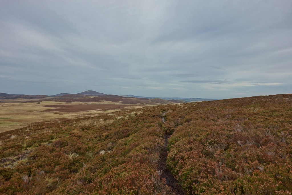
As we continued it did become easier to follow, and also a bit squishy across the initial flatter section. Soon we started gaining height more steeply which gave us nice views back the way, and as the steep section started to ease we could see the pile of rocks at the summit

Looking back

We had been fairly sheltered from the wind lower down but now it was brutal as we made the final ascent to the summit

We could see Bennachie in the distance

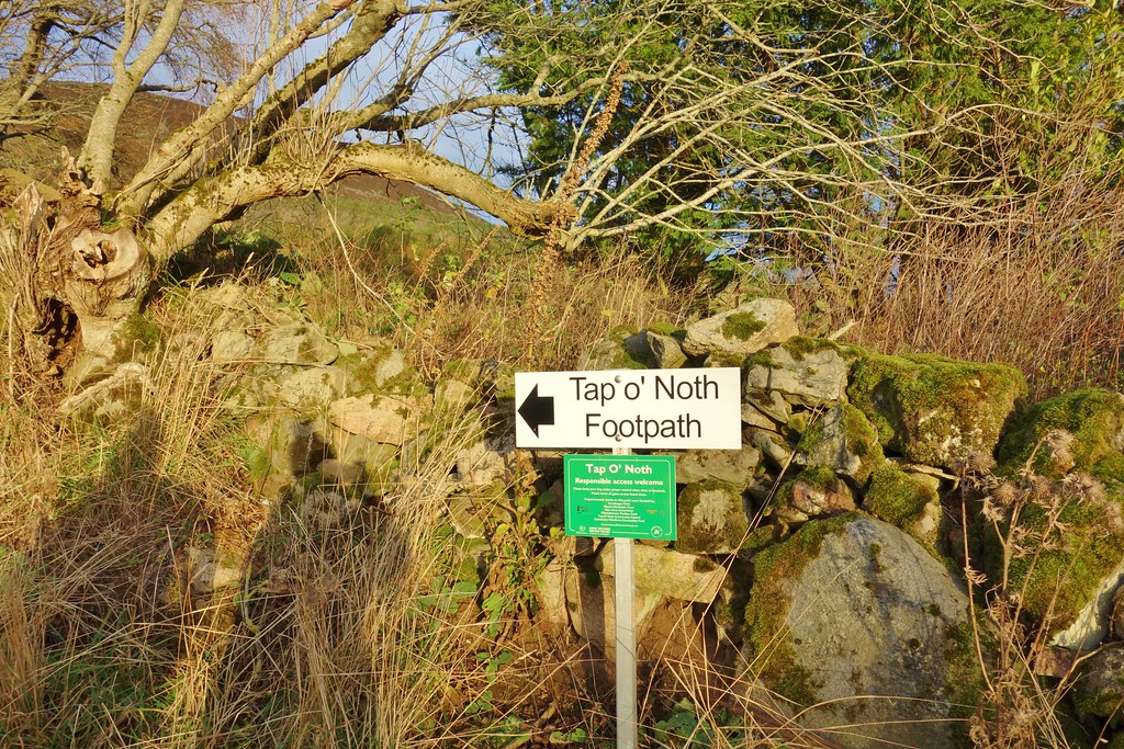
Tap O' Noth

The edge of the Cairngorm plateau

Climbing to the top of the pile of rocks was a struggle. and once there it was necessary to hold onto both hat and trig point

We decided to beat a hasty retreat and eat lunch in the car

Slightly better version of the path
Of course, as we approached the car, the sun came out


--------------------------------------------------------------------------------------------------------------------------------------------------------
Tap o' Noth 5.07km, 344m ascent, 1 hour 27 minsAlthough I'd felt pretty knackered during the walk, after warming myself up in the car, a break and some lunch I was feeling like I might be able to make an attempt on a 2nd small hill - Malky drove us around to the car park for Tap O' Noth and we headed off - no danger of missing the path this time
Once we'd passed through a gate, the path was lovely and wide and easy underfoot

Looking back - the weather had definitely brightened up!

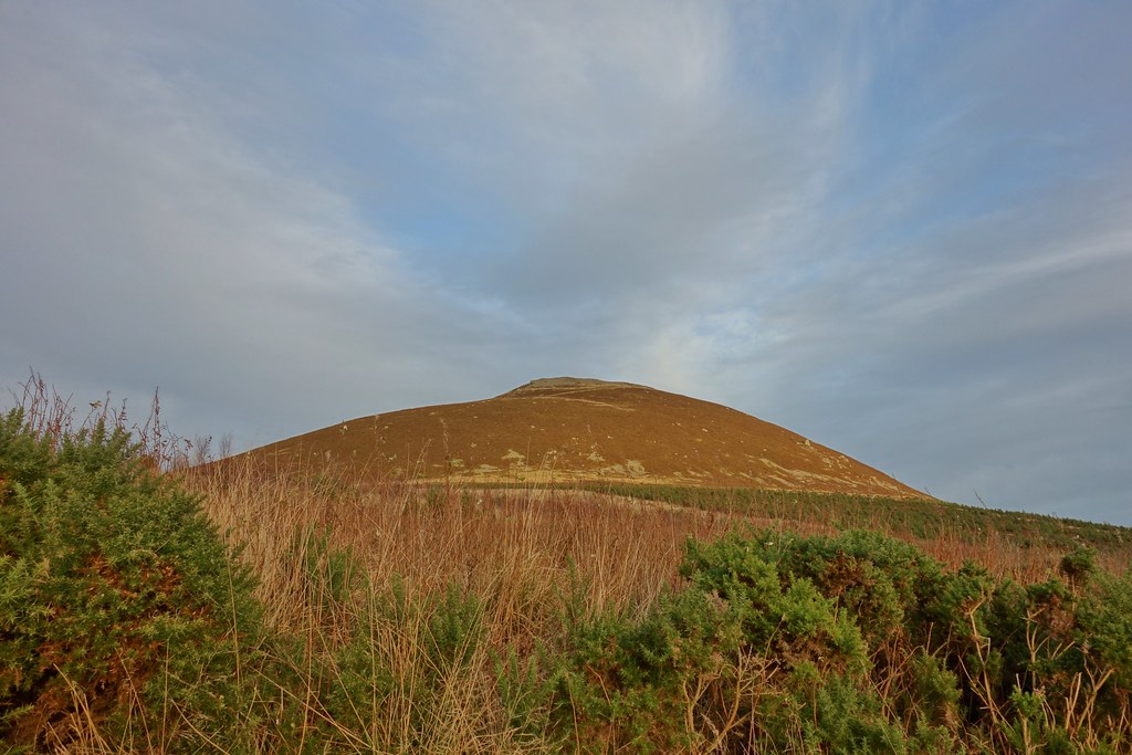
We could see our target ahead
After another gate, the path turned left and rose gradually

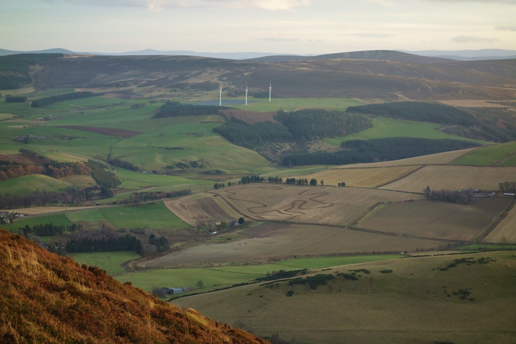
It then zig-zagged back and as it climbed steeply we could see across to The Buck

Bennachie

Another zig-zag took some of the sting out of the gradient
The summit finally in view - another couple of zigs to go...

Strange shape in the field below - looked like one of those chalk outlines they put around bodies
Ben Rinnes (I think)
Looking across to The Buck

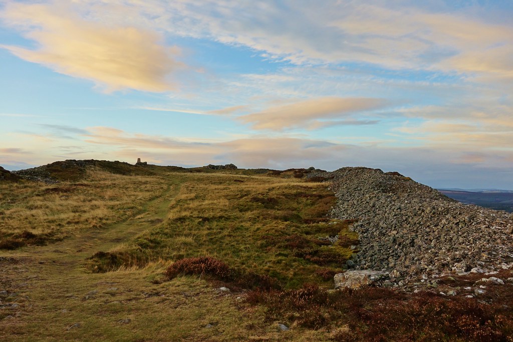
Finally at the summit which turned out to be a hill fort!
Surprisingly we had been sheltered from the wind the whole way up, but as I decided to walk around the edge of the wall, it hit us with full force

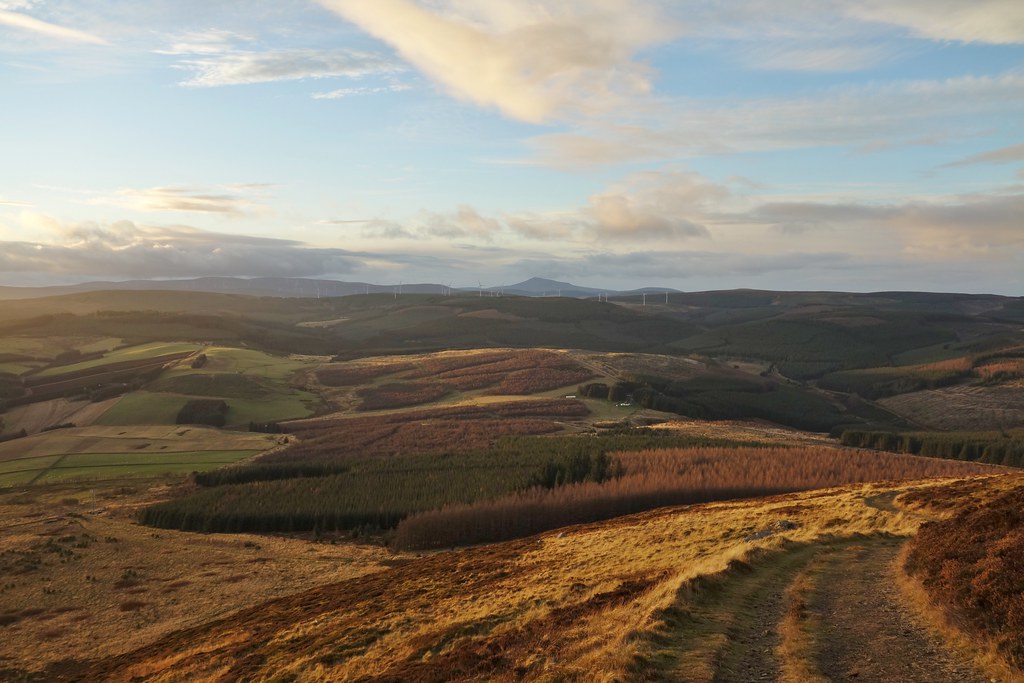
Amazing light on The Buck

Trying not to fall off Tap O' Noth

Looking back across the fort

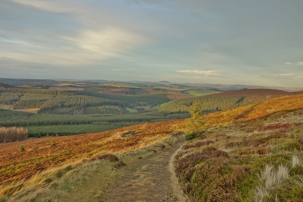
The sky was starting to look very cool as we started our descent

The sun disappearing behind The Buck
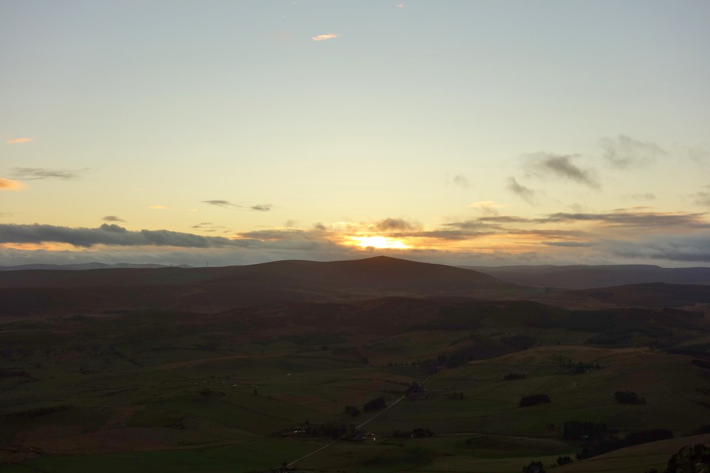
The sky became even more dramatic as we dropped height


The moon starting to come out as we neared the car

A nice day out in a part of the world I rarely visit - and happy to have managed both hills, even if they were wee!!
