free to be able to rate and comment on reports (as well as access 1:25000 mapping).
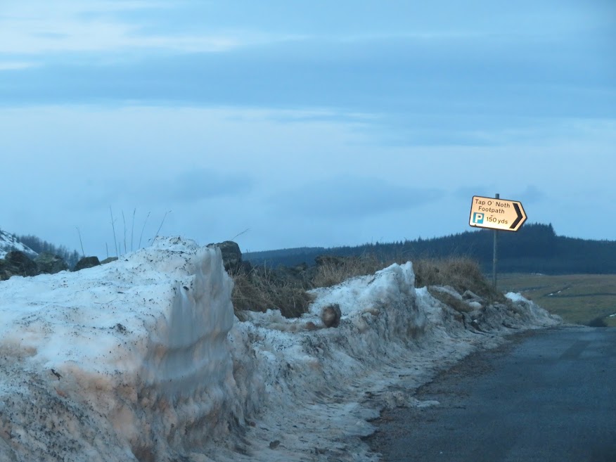
Didn't fancy driving through the remaining snow to the Tap o' Noth carpark so onwards to The Buck!

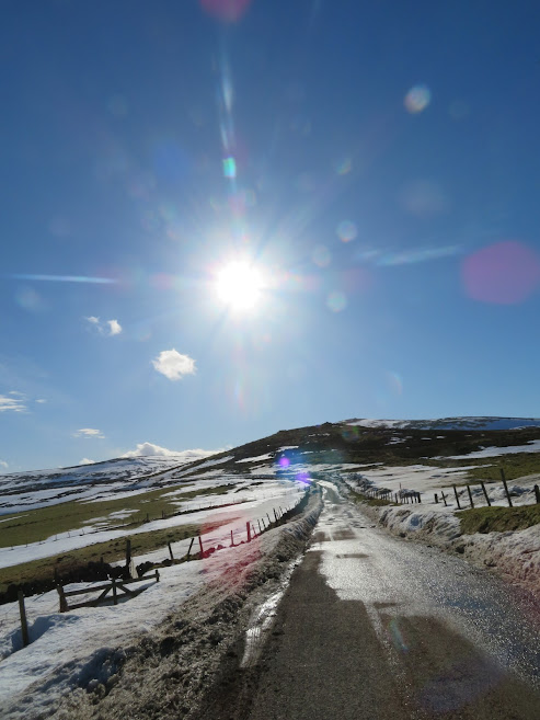
I got out of the car and tested the road with my foot after I heard the brakes struggling. Very icy despite it being plus two Celsius on the dashboard. Continued at reduced speed.

The Buck from the roadside.

A lot of snow has been cleared. I decided to head east a bit before ascending, to avoid the drifts covering the normal start.


It was hard going over the bobbly heather and harder going over the soft snow patches.
Next time I went to take a photo I felt nothing but an open, empty pocket where the camera should have been. I decided to retrace the twenty minutes back to the car. No sign of the camera. However, I then retraced my upward journey and this time I did find it! By coincidence I had been listening on the radio to how mice retrace their steps using twigs and that dung beatles navigate by starlight. So maybe I was aided by something else but I was pleased with having found the camera.

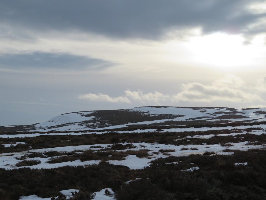
Snow over towards Corryhabbie.
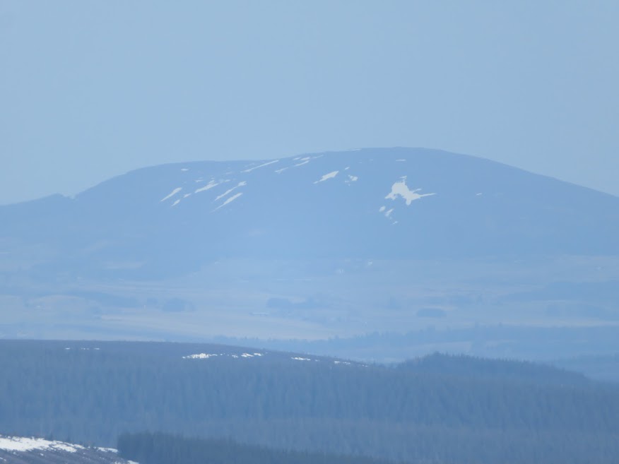
I've included this photo because it is of Clayhooter Hill.

Grim cloud above Tap o' Noth.

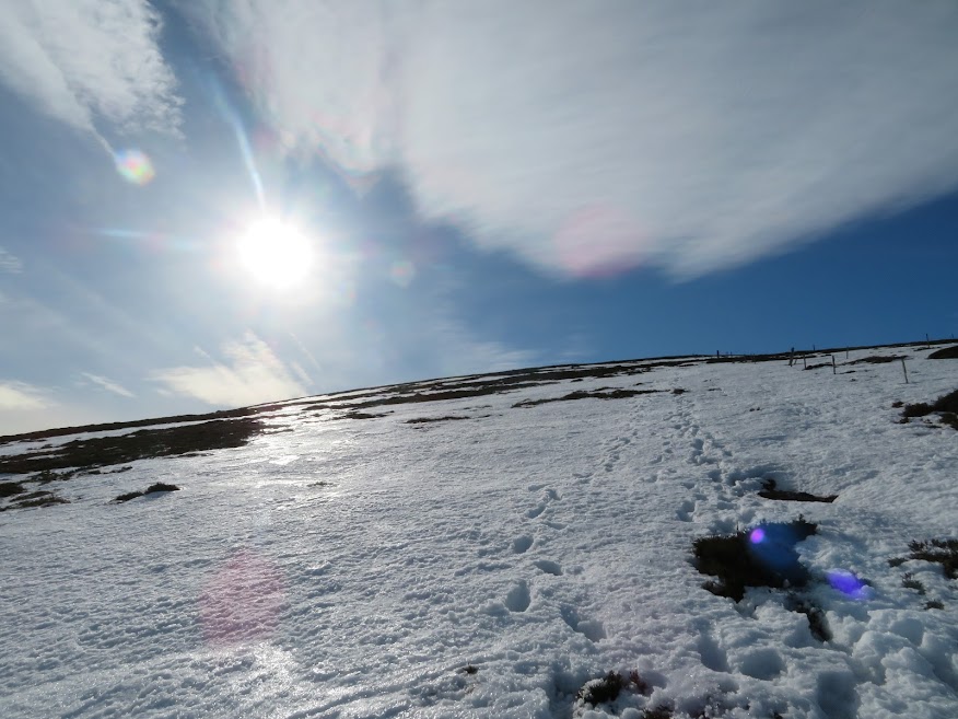
There's one main set of steps I've been following and I can see how they have bowed to the snow by virtue of their connecting heather clump to heather clump.

A swathe of blue to the east and fenceposts nearly covered by the drifts. Here I / the footsteps have veered quite far left (east) of the deepest snow.
Could see a couple ascending below. I tried to speed up but felt knackered from all the draining snow and heather. So then I decided to slow down to let the couple past so that they would get summit time to themselves and then I would too. Would never have thought there would be a Buck summit queue.


Rinnes and the Convals.
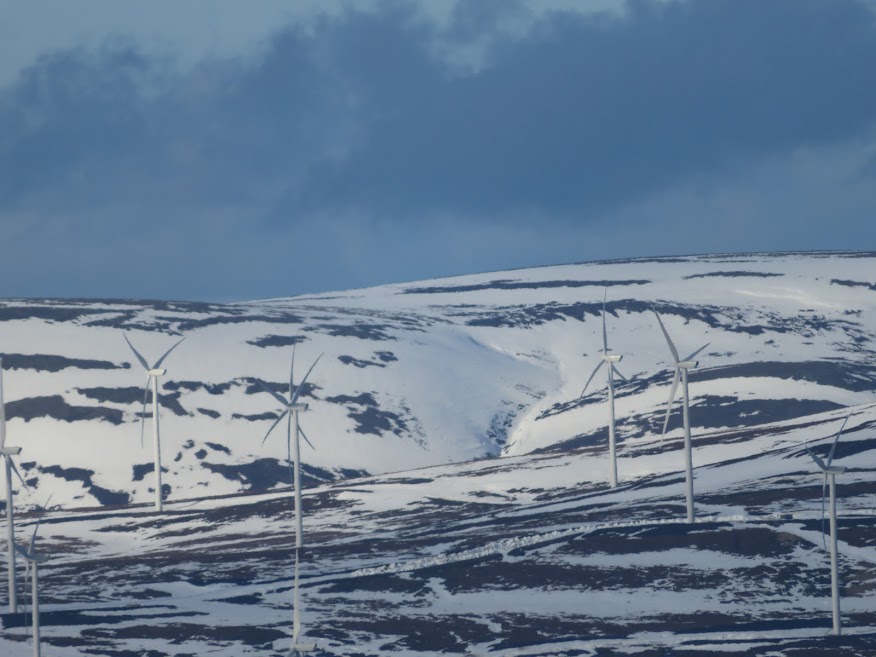
Windfarm to the west.

Rinnes again.
Knock Hill to the north.

Tap o' Noth getting a bit of sun.
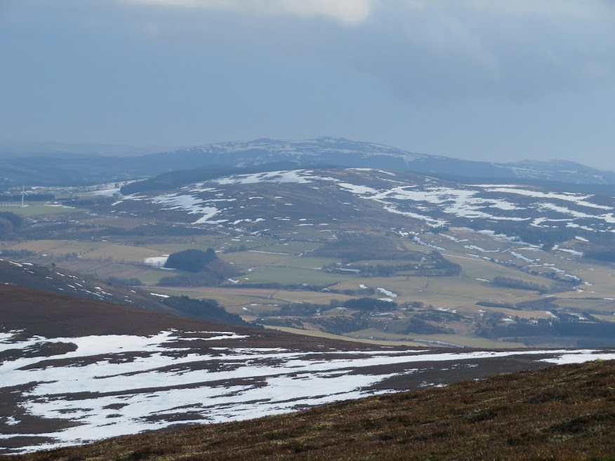
Bennachie in the gloom.
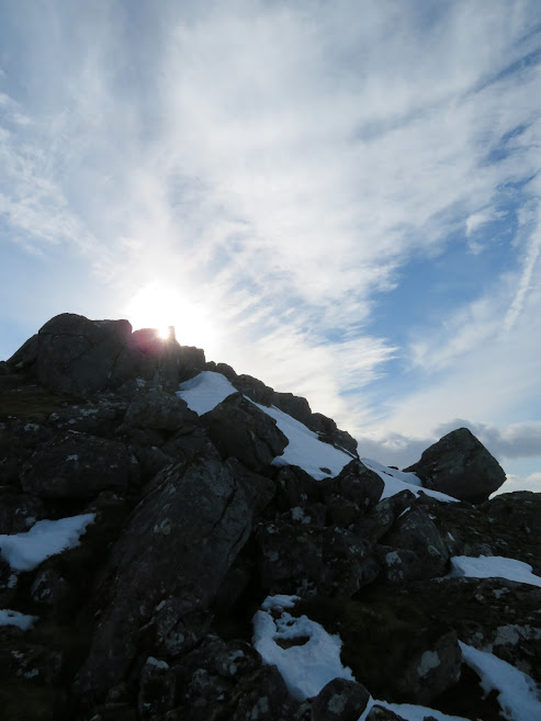
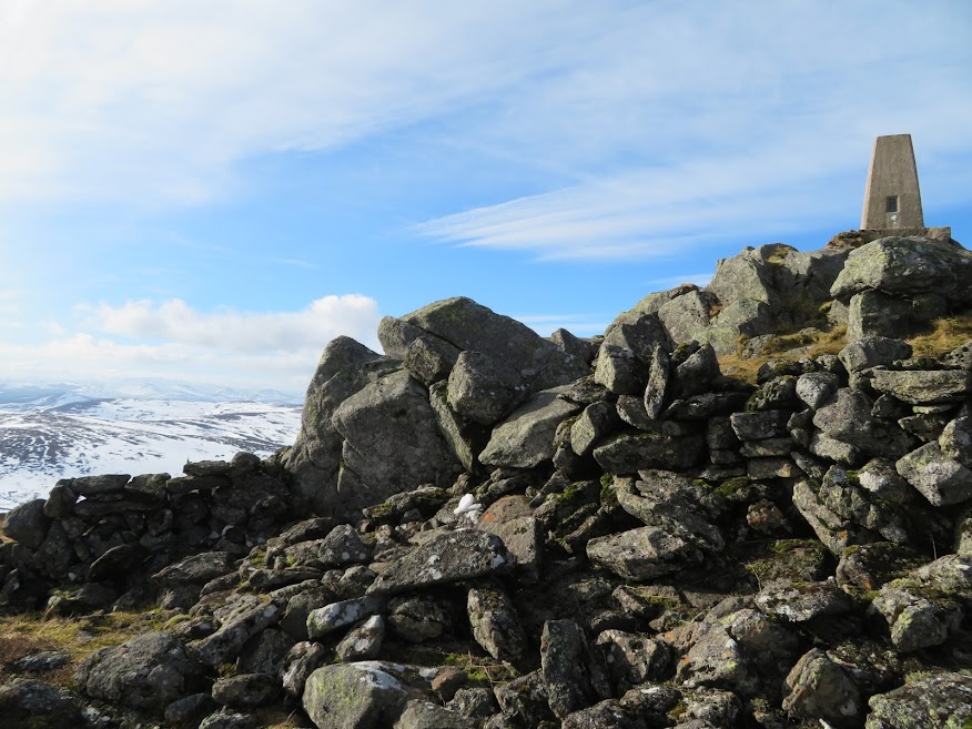
At the summit rocks.

Third visit to the Buck and still no really clear views. View finding not aided by the sudden gusts of wind but I'll take bright weather over rain and cloud any time.
Mount Keen and Morven.

Getting to the trig point using elbows and forearms instead of hands is harder than expected, especially as the wind is strong enough to knock me off balance.
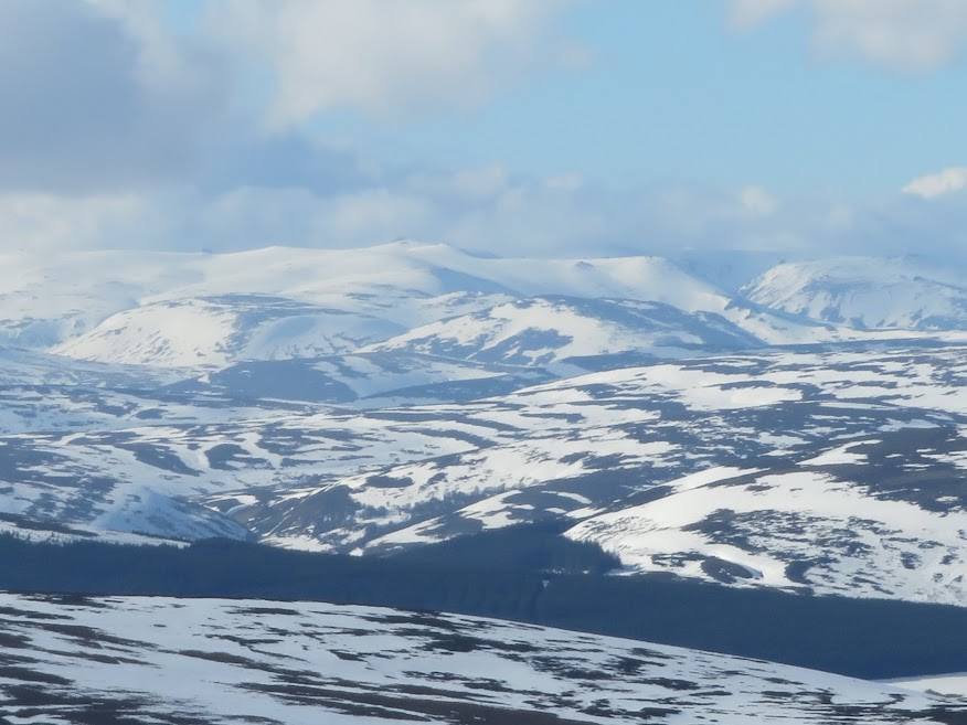
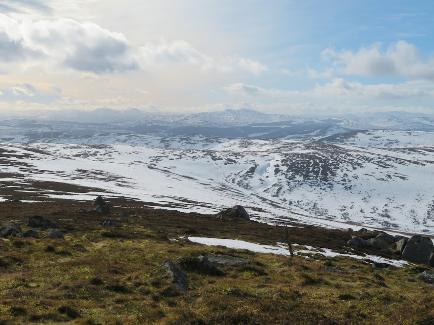
View southwest to the Cairngorms.

The way down is easier but still have to watch out for extra deep holes when following steps or extra deep snow when ignoring existing footsteps.

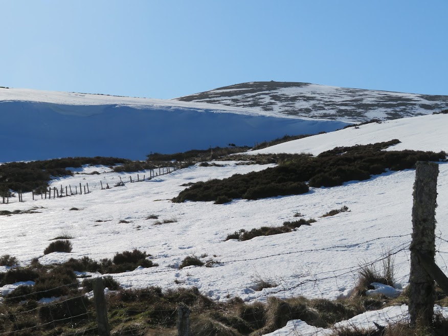
Snowdrift near the start. I probably didn't need to divert so far, after all. Descended the last part just west of the normal route.


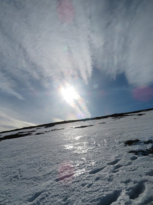
The cloud disappears.
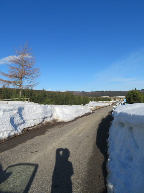
No ice on the road this time and the dashboard says plus ten Celsius now.
Conclusion: need more exercise.
