free to be able to rate and comment on reports (as well as access 1:25000 mapping).
Here we go again, lockdown still here so we are back on the Tump bashing trail. This time I planned a bumper batch of 13 hills fairly close to the A92 in north Fife. We met at our usual meeting place at 7.30 which would give us plenty of time to achieve our goal. This was the first time for a while we were out on a weekday and one thing was very obvious the traffic was anything but lockdown like!!
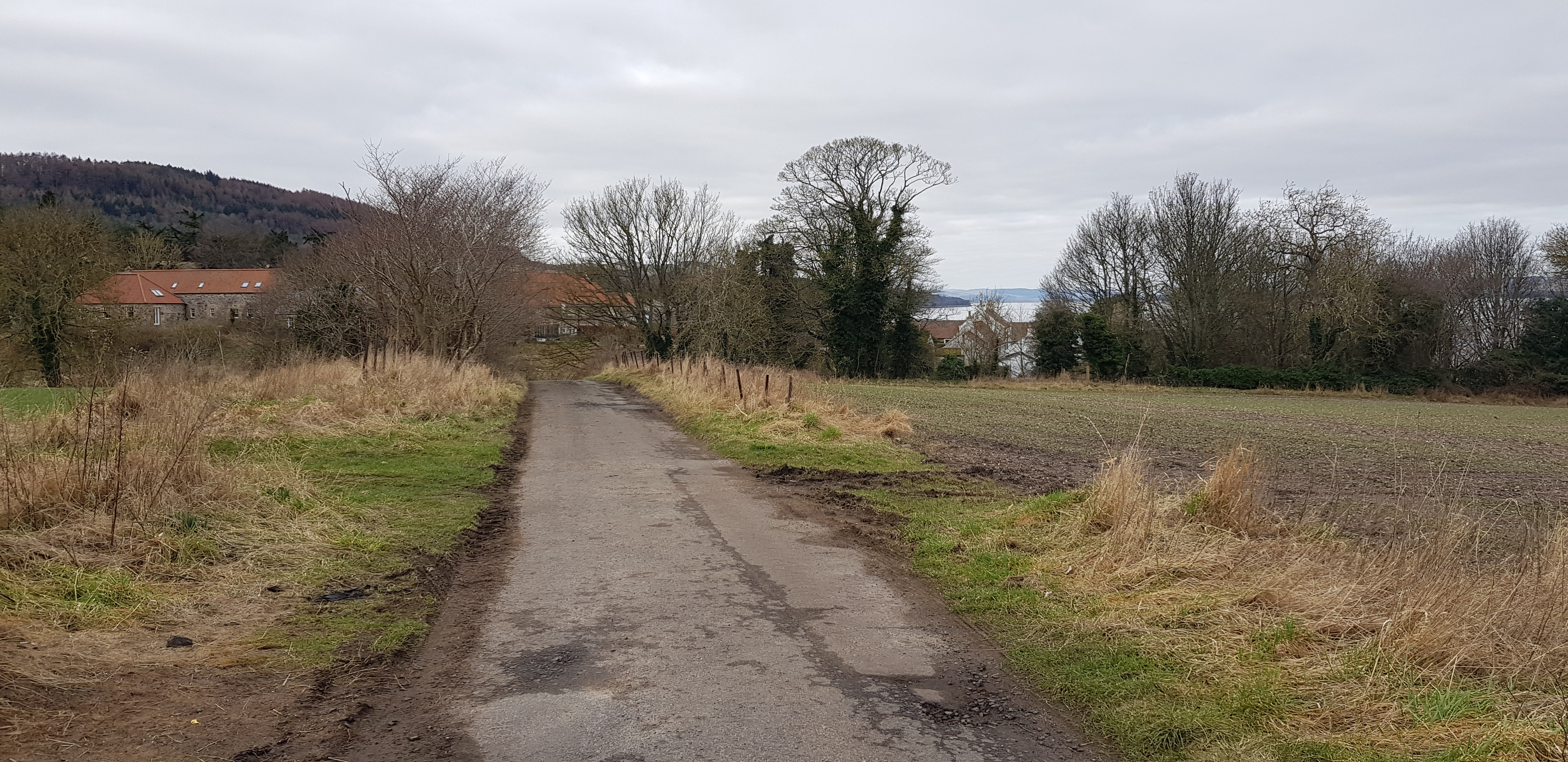
Our first hill would take us back to Luthrie where we finished last week and once off the A92 the only traffic was farm related.
Starr Law turned out to be the most problematic hill of the day, distance wise it was easy and short but the fences were a major problem, with a distinct lack of gates.
Starr Law
Green Craig
Black Craig
Tay Mount
Scurr Hill
St Fort Hill
Chester Hill
Hare Law
Craig Law
Knock Hill
Newton Hill
Shambleton Hill
Round Hill
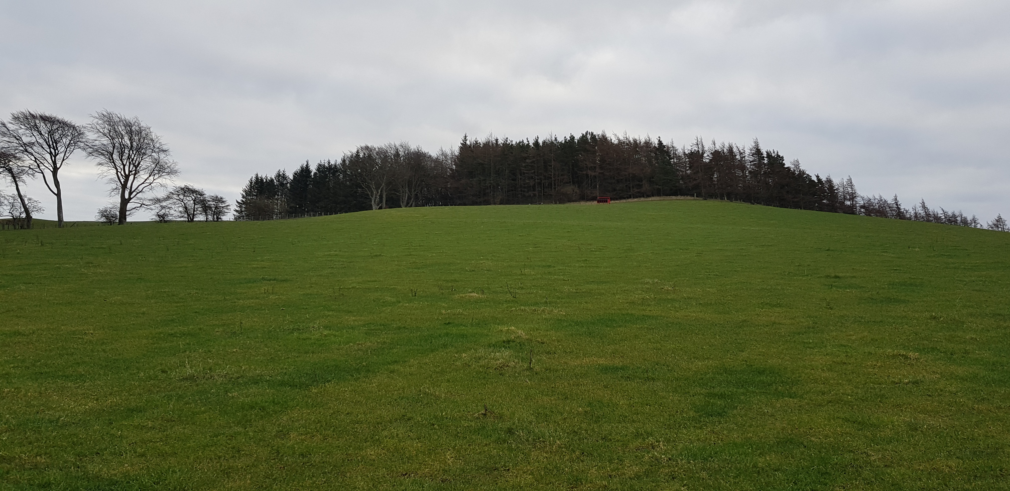
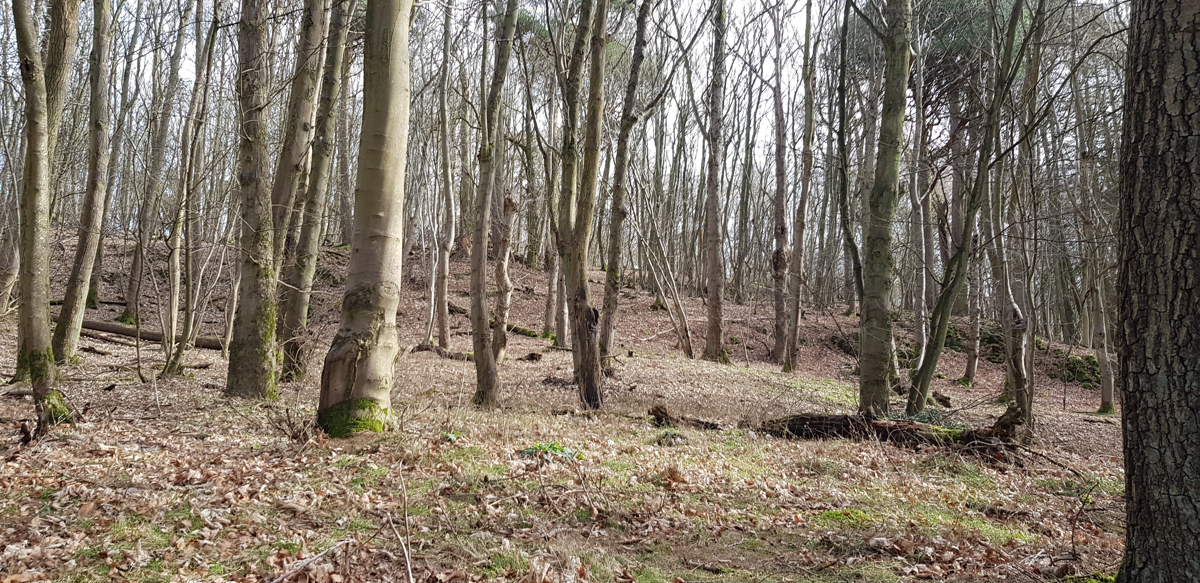
Starr Law, 164m, 55m of ascent, 1.8km, 30mins

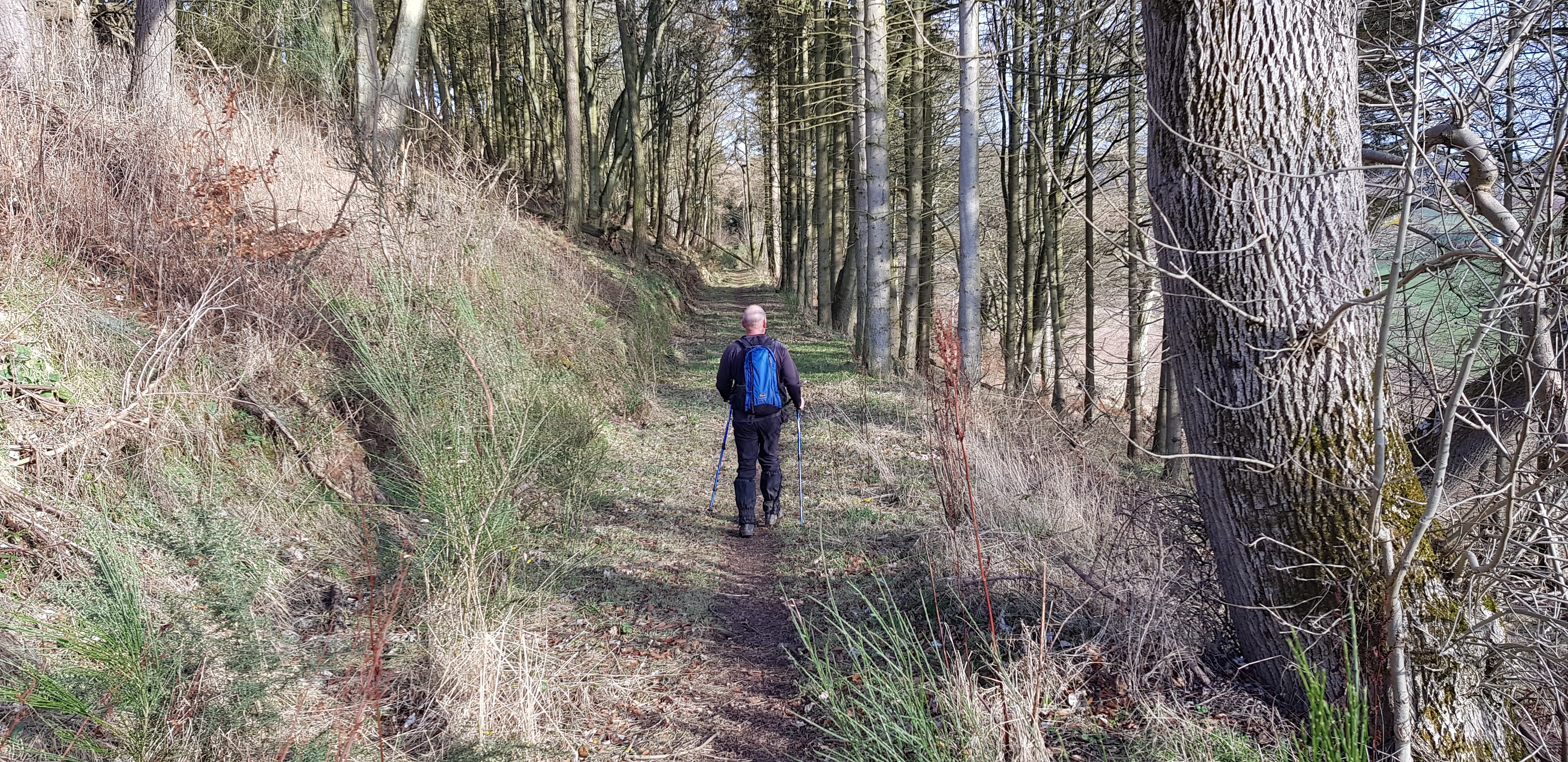
Starr Law up in the woods

Like all good walkers we avoided walking on ploughed fields
Summit up there

Nice friendly wooden gate
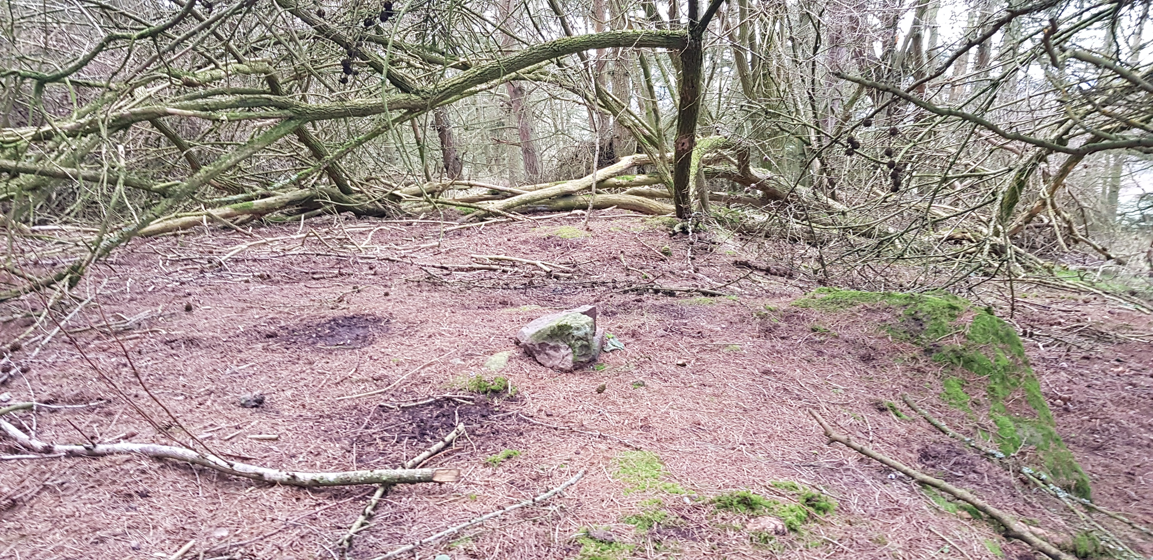
Huge cairn marking the summit of Starr Law

Not the best of views

Forest was fairly straight forward

Luthrie church in the distance
A short drive along the unclassified road would take us to our next hills.
Green Craig, 189m
and
Black Craig, 203m, 130m of ascent, 2.3km, 55mins
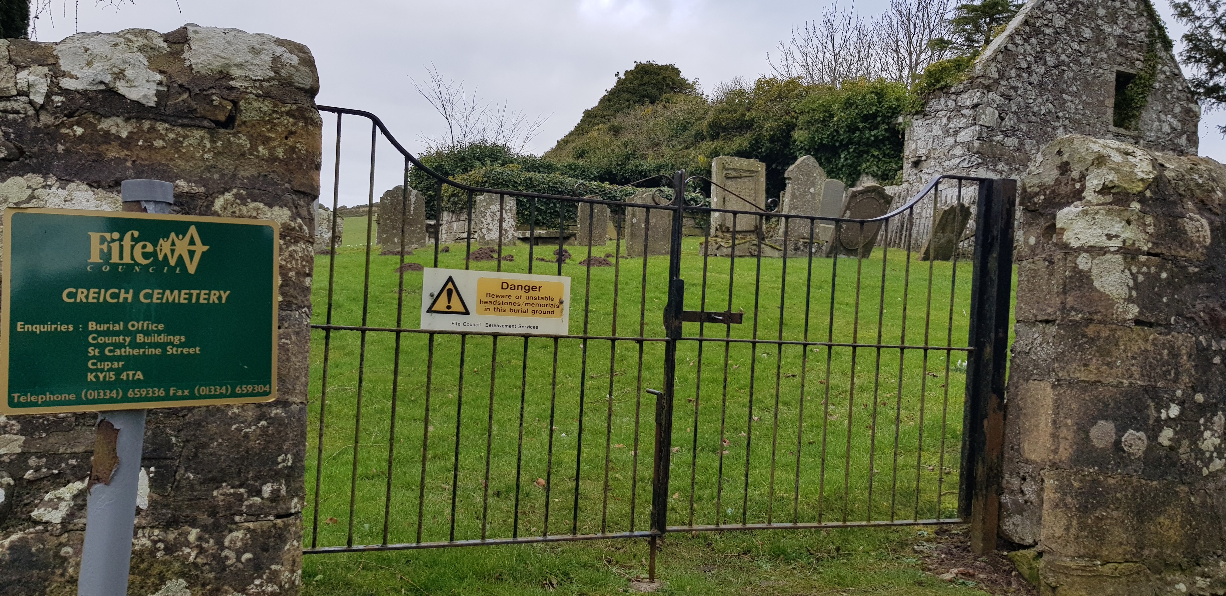
Our start point for the next couple of hills

Inside the cemetery

The way uphill to Green Craig
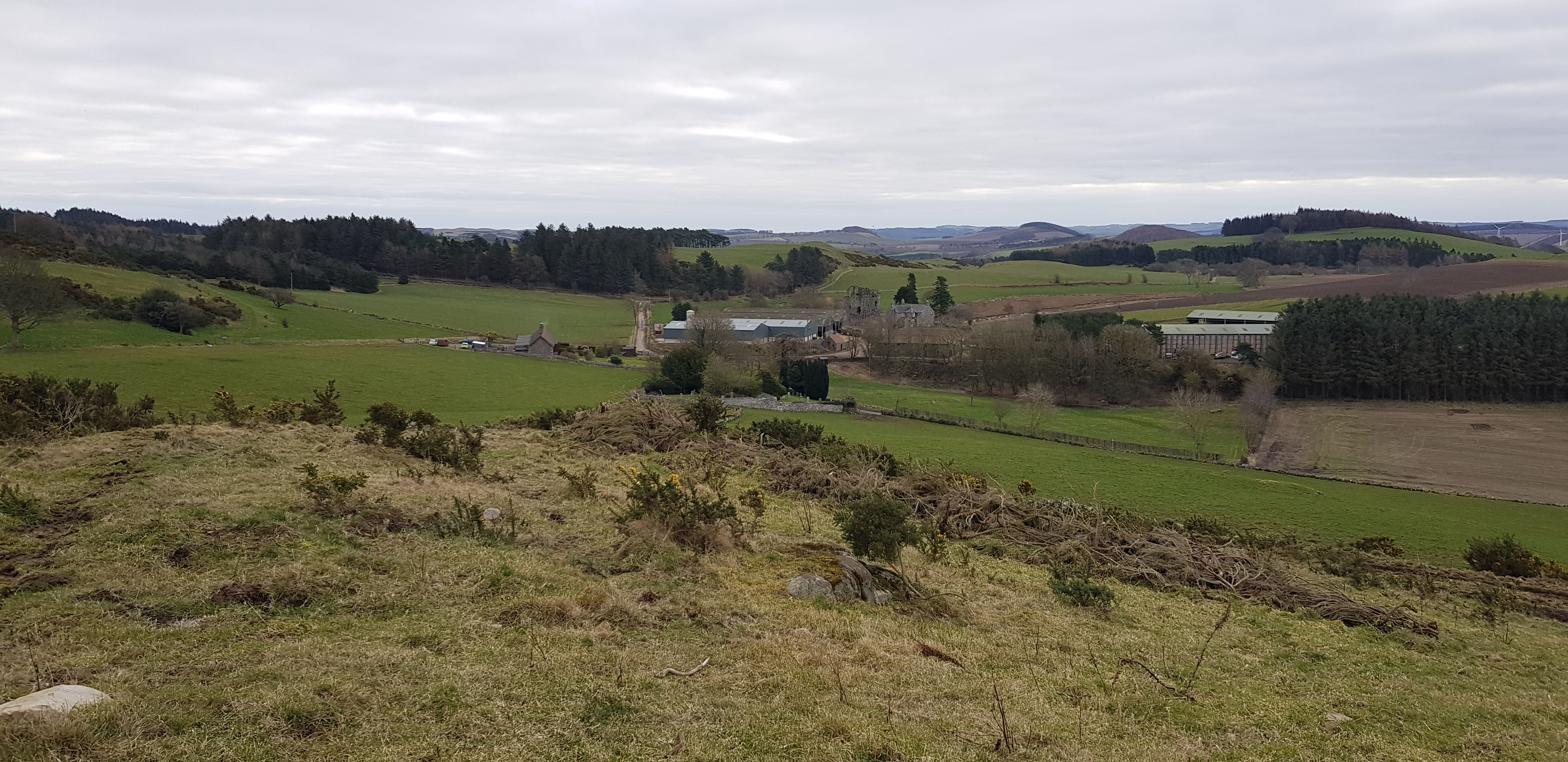
Looking back down to Creich cemetery and the nearby farm

Norman's Law the highest hill in the area

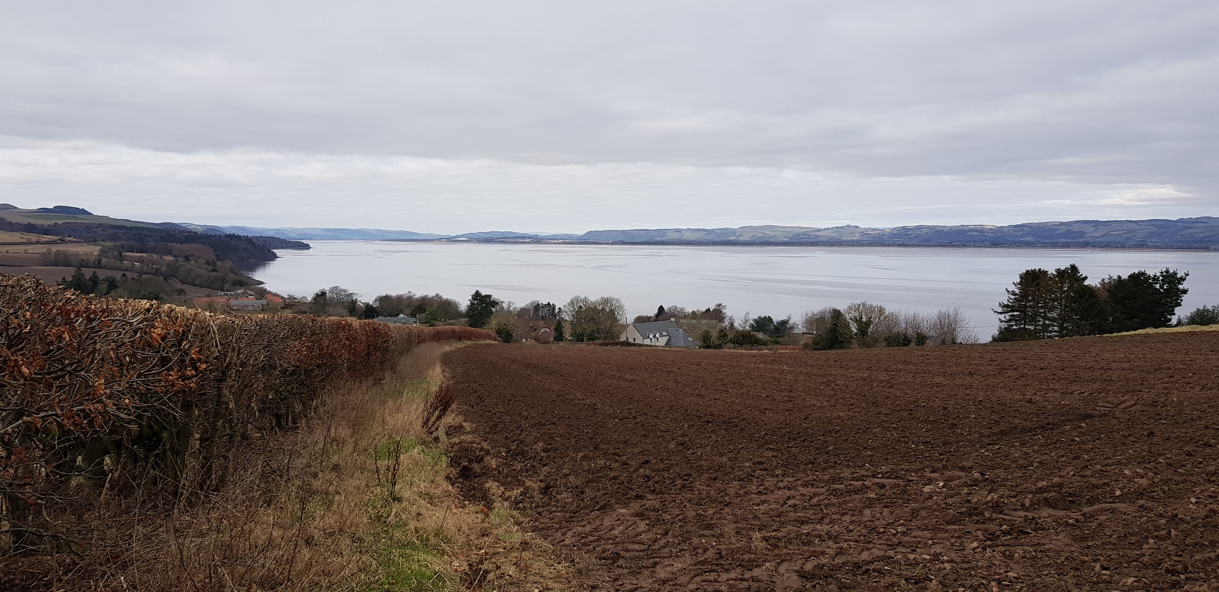
Looking across to Black Craig from the summit of Green Craig
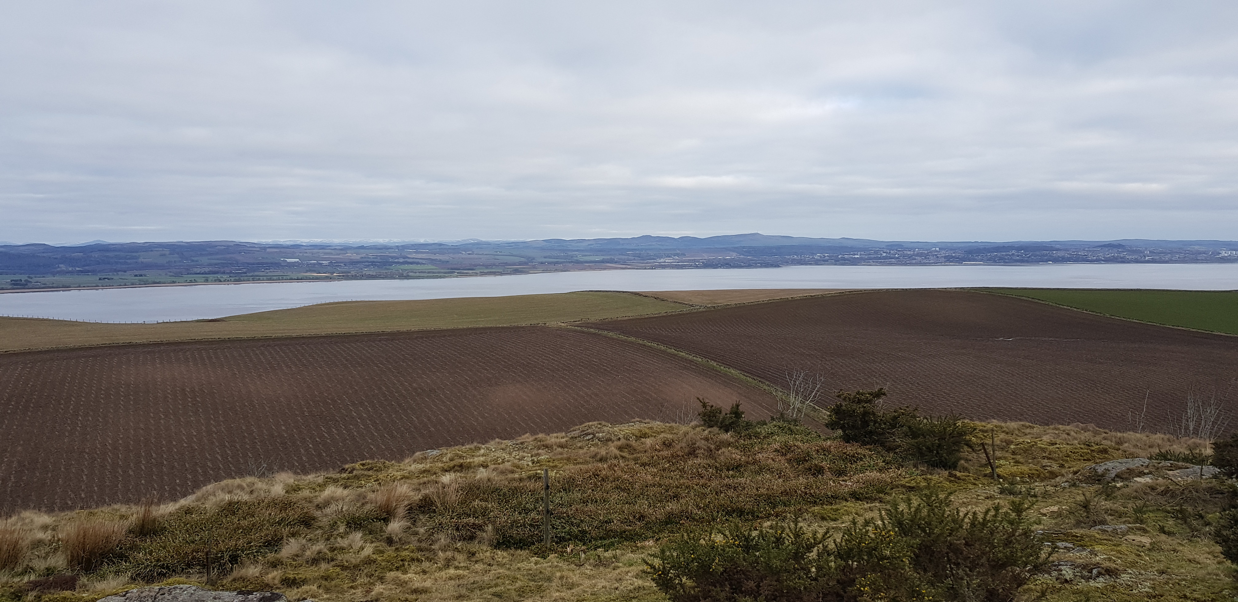
Looking across the Tay to the western end of Dundee
Looking back up to Green Craig

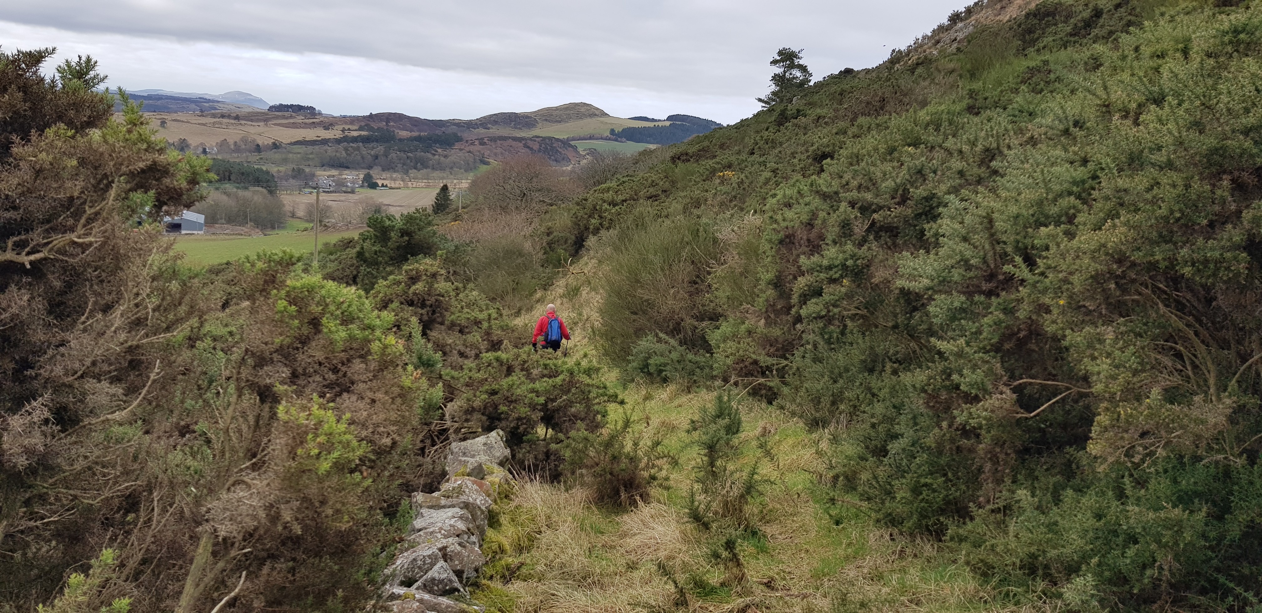
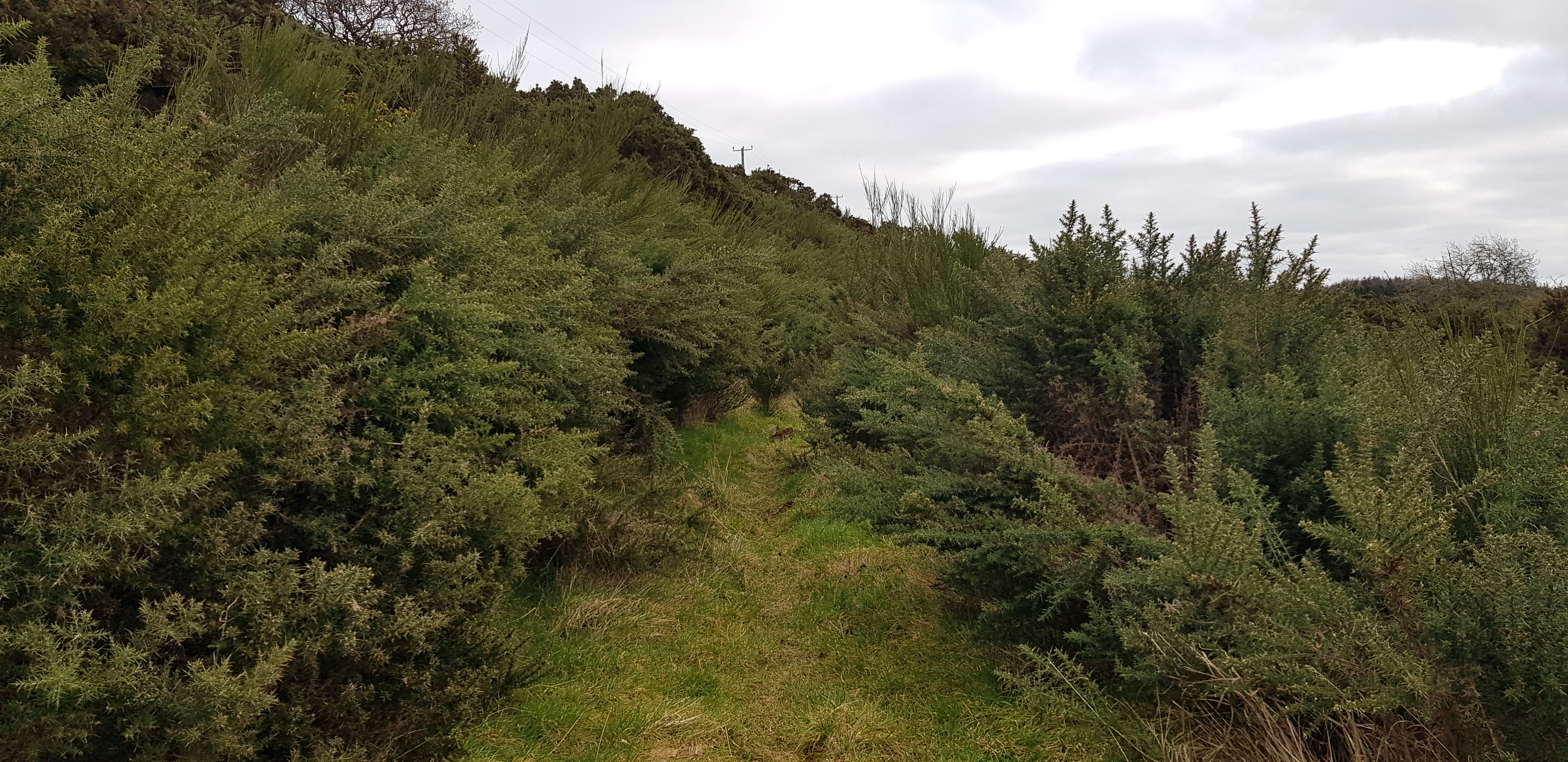
Now the fun begins, gorse is lying in wait to attack us

Looking back across to Green Craig

We now have to get across all the undergrowth to the higher top which is the summit of Black Craig

Just a matter of picking our way through

The Lomonds in the distance

Not the best of views from the summit due to the vegetation

We opted to descend down here
Not far before we get back to the start
Looking back

Welcome to the wee hills in Fife, plenty of electric fences

A few vacant spots in the cemetery
Another short drive.
Tay Mount, 189m, 24m of ascent, 1km, 25mins

On our way slightly uphill, before entering the forest

Heading slightly uphill in the forest

Out of the forest now and not far to the summit of Taymount

Following the wall and fence uphill

Another welcome sight, just a shame there aren't more of them

The trig looking a bit lonely

George zooming in on the trig number for Parminder

We were drawn across to the fenced off area round the tree

Some sort of memorial for "Julia"

Even memorials are covered in barbed wire

Interesting looking tree
A slightly longer drive, downhill passing the eastern edge of Balmerino and parking near the cemetery in Kirkton.
Scurr Hill, 104m, 79m of ascent, 2km, 30mins

Another cemetery, another start point, this one is Kirkton
Looking back to our start

Looking across to Dundee (again)

Looking back again, nice gentle ascent

Silver birch looking interesting

Looking back, the observant ones will notice a couple of horses in the distance

Looking back, not far to the summit of Scurr Hill

The summit of Scurr Hill, not very exciting at least we had a bit of a view
Descending now, the Tay looking very wide
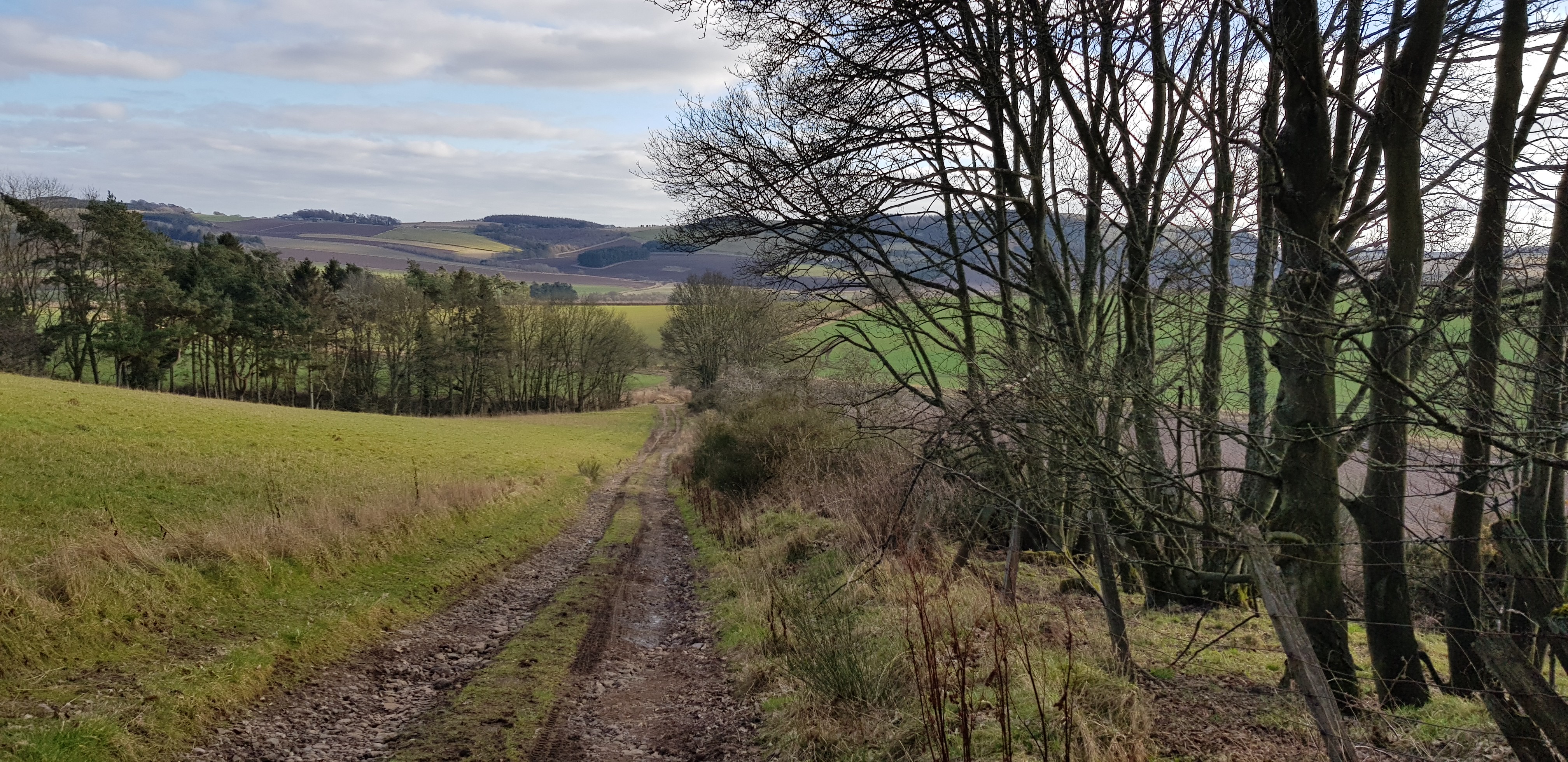
Another drive of about 3 miles taking us back onto the A92 where we parked in a layby.
St Fort Hill, 123m, 75m of ascent, 2.7km, 40mins

Having crossed the A92 and heading uphill before entering the forest

Another welcome sight, I had noticed the deer fence and hadn't noticed the style

Apprehensive look

Plenty of snowdrops, good dry path through the forest

Lovely walk through the nice open forest

For our equine friends?

George looking happy on the summit of St Fort Hill
Probably the longest drive of the day as there is no right turn off the dual carriageway onto the unclassified road, so we had to go down towards the Tay Bridge and head back south, before turning left.
Chester Hill, 107m, 30m of ascent, 1.1km, 20mins

The initial way slightly uphill, following the fence round to the left

Looking back, Tentsmuir forest in the distance

Another welcome sight

Very interesting ruin, not far from the summit of Chester Hill, couldn't find any info as what the buildings were
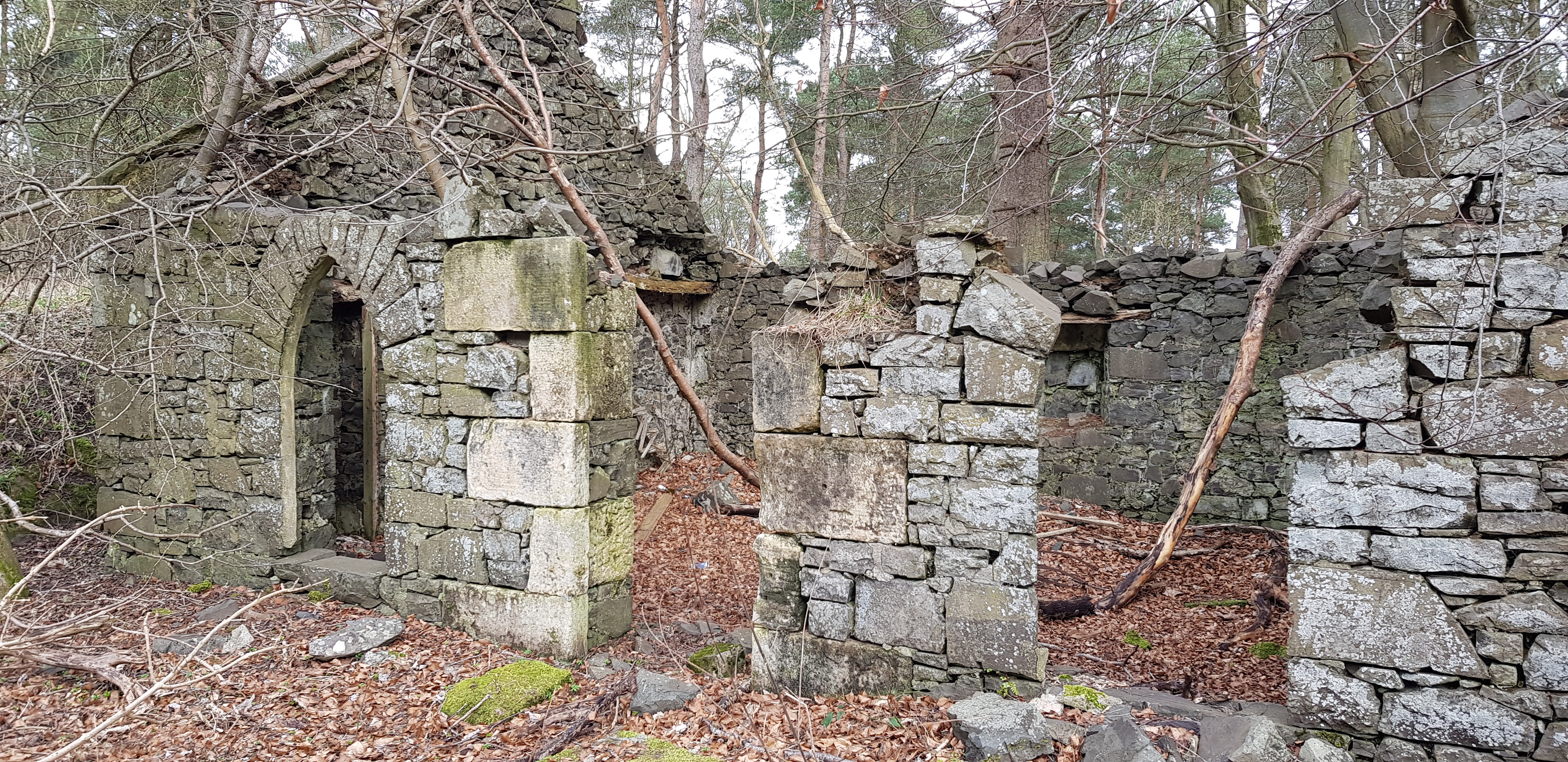
A few more closer photo's


Fire place

Not sure what the wooden bits are for?

More buildings to the rear


Some sort of inscription on a corner stone

Summit area of Chester Hill
A very short drive along the unclassified road, we probably could have walked, but we didn't.
[u]Hare Law[/u], 111m
and
Craig Law, 112m, 150m of ascent, 3.5km, 1hr 5mins

We are now on the large Scotscraig Estate

More barbed wire fences - protecting the snowdrops
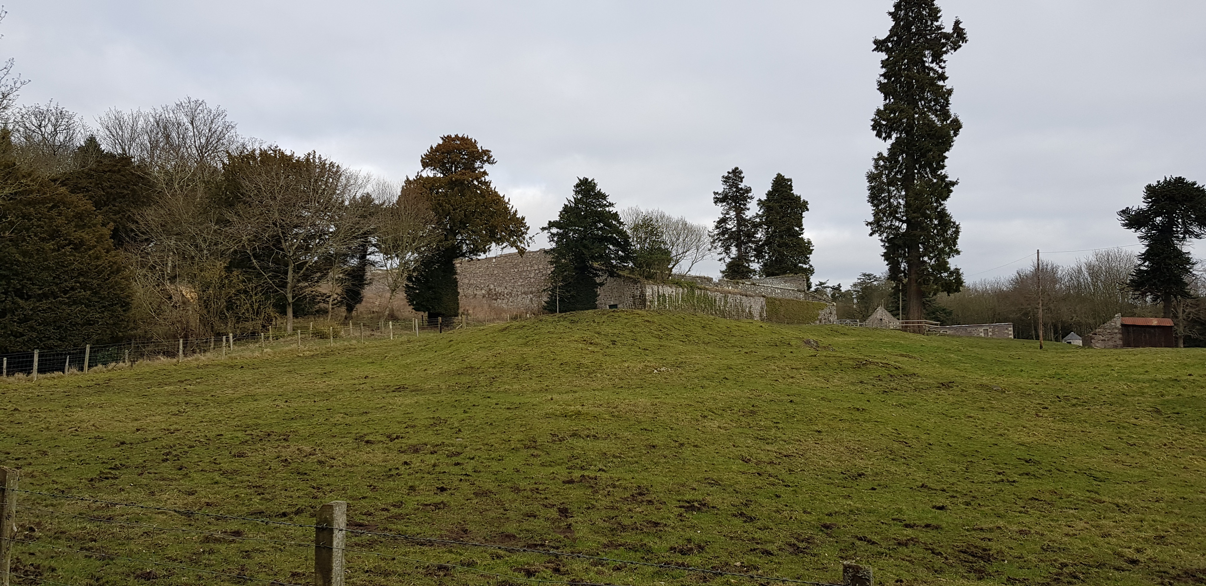
Walled garden

Rhododendron loving the swampy conditions

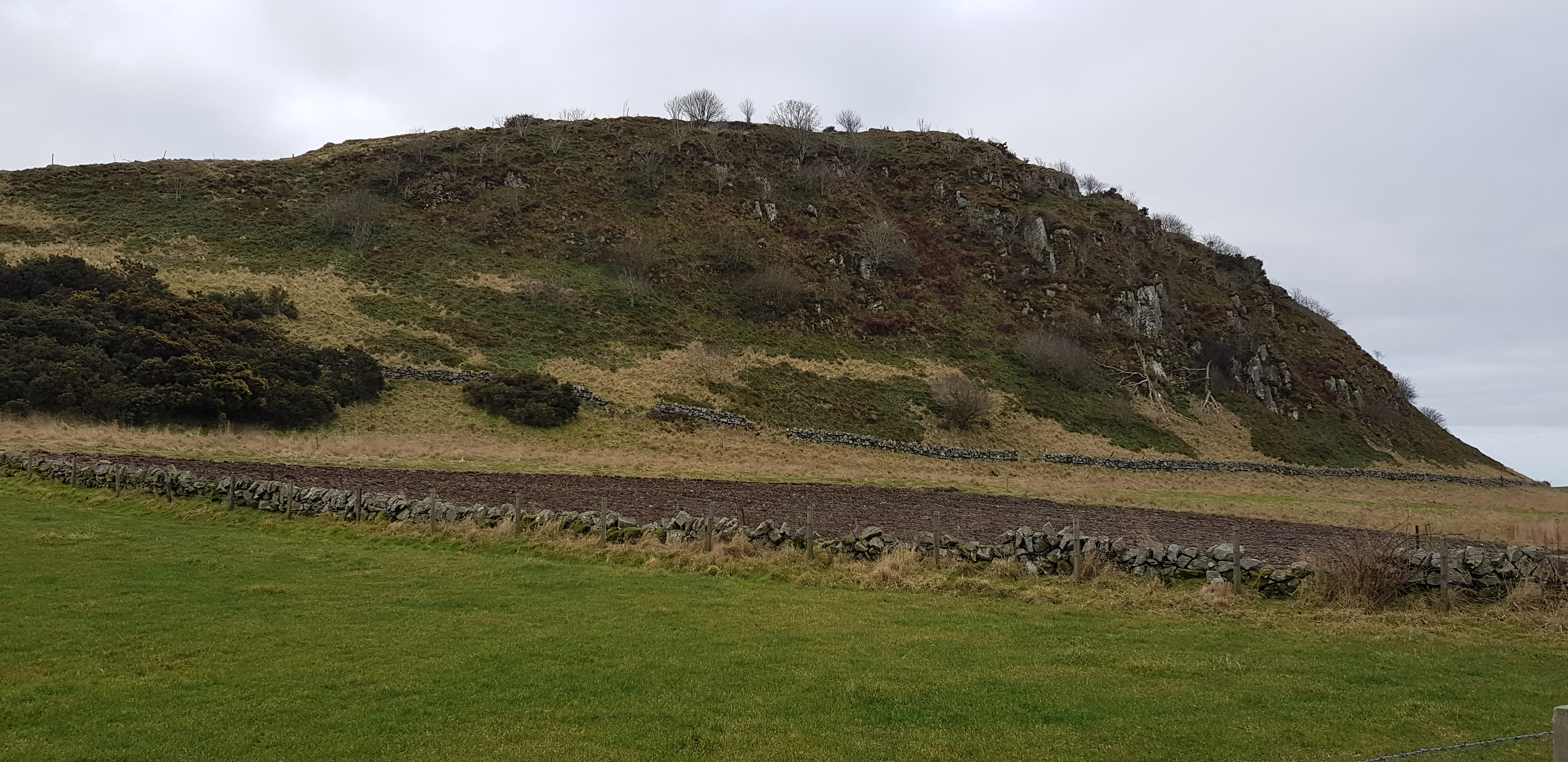
Good track/road through the estate, would take us to the foot of Hare Law

Time to head up the grassy slope to the summit

The ruined Scotscraig Tower just visible

It was our lucky day, fallen tree assisted us getting over the fence

Scotscraig Tower, the fence round it has been trampled down

A better photo of the Tower

The summit of Hare Law is the high point on the grassy bit

Friendly gate

After a short walk again on the road we turned right and are now heading up Craig Law

A bit more going up

George leaving the summit of Craig Law, another woody summit

Any suggestions?


Back onto the A92 and we parked on the A92 at the entrance to St Forts farm.
Knock Hill, 91m, 58m of ascent, 1.5km, 25mins

The start of walk up Knock Hill

No surprise, the summit of Knock Hill is in the forest

Entering the forest now
Summit area of Knock Hill
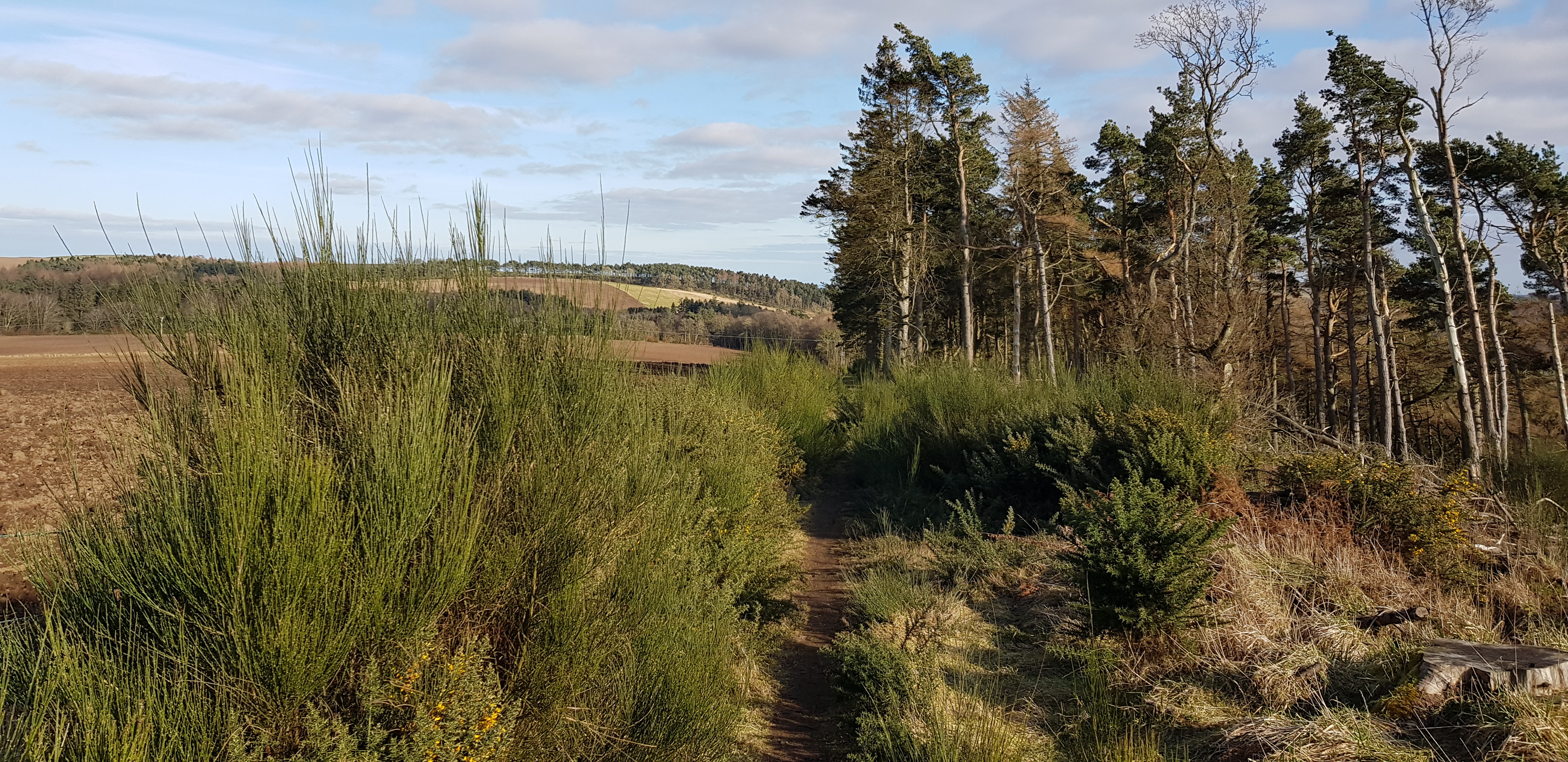
Short drive along the A92, parked in a layby on the left.
Newton Hill, 144m, 115m of ascent, 2.5km, 35mins

Having parked in a layby on the A92, we would be heading up there

Nice dry track uphill

Looking back down on the A92

Small mast on the summit area

Tay rail bridge

Looking down along the wall

Scurr Hill in the distance
Managed to capture this with my camera

Rail bridge zoomed
Another short drive into Kilmany,
Shambleton Hill, 134m
and
Round Hill, 106m - 185m of ascent, 4.9km, 1hr 9mins
Having parked just off the A92 in Kilmany, looking back down the track

Not long before we turn left and head into our final forest

Another good wide path through the forest

Out of the forest and looking back
The vegetation starting to encroach onto the path

A photo that sums up the day, fence, gorse and Dundee

Summit area of Shambleton Hill
Following the path slightly downhill, before we head across to Round Hill

George taking a tumble but still smiling

Shambleton Hill in the background

Not far from the summit of Round Hill looking back

George attempted to open the gate guarding the summit of Round Hill, we gave up as there was chicken wire on the lower part and a stake lying across the wire to ensure the gate didn't open and keep animals out

George on the other summit of Round Hill

The way down off Round Hill
Another very enjoyable day and another big chunk of Tumps ticked off. It will be back to the drawing board to sort out the hills for our next outing, the way things are progressing we should complete our mission before we are released.
