free to be able to rate and comment on reports (as well as access 1:25000 mapping).
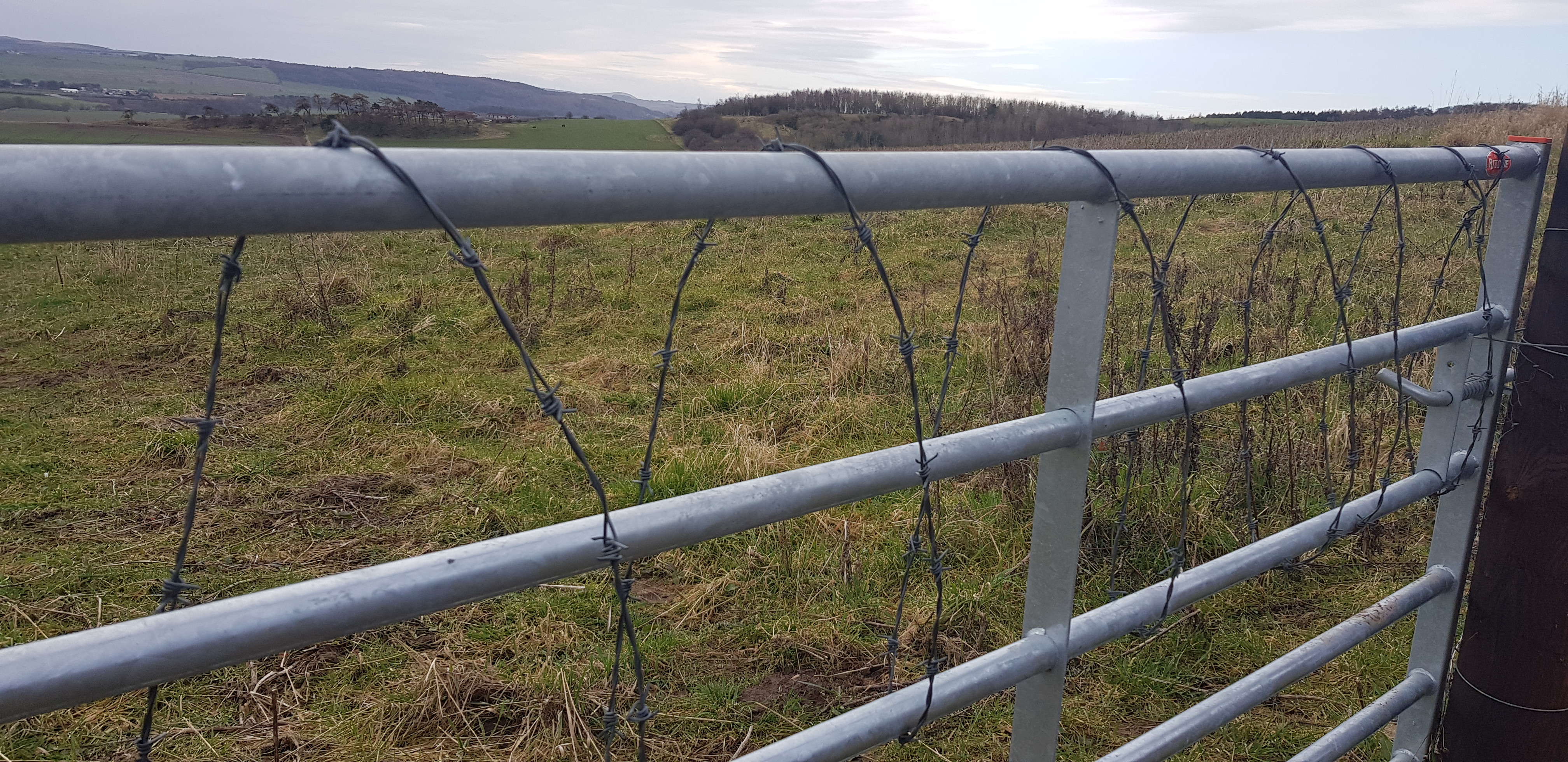
Here we go again, the plan for our next batch of Tumps was to tackle 15 which will be uncharted territory for us. Having said that the first and last hills took barely 20minutes in total. Careful planning is required to try and link hills together and then plan out a route to drive from one to the next. The GPS system on here has been vital but like all maps it doesn't show where to park, where gorse is, but does show fences but not the makeup of the fences - 99% have at least one layer of barbed wire. This batch of hills were fairly easy fence wise which certainly makes it more enjoyable.
This batch of hills are south of the A92 (apart from North Hill) and north of Cupar, here they are:
Moonzie Hill
Colluthie Hill
Murdochcairnie Hill
Darklaw Hill
North Hill
Lucklaw Hill
Airdit Hill
Craigfoodie Hill
Craigsanquhar Hill
Forret Hill
Kedlock Hill
Myrecairnie Hill
Foodie Hill
Kilmaron Hill
Hill of Carslogie
Moonzie Hill, 138m, 6m of ascent, 0.2km, 5mins
Not much we can say about this hill, almost drove to the summit.

Moonzie church, basically in the middle of nowhere and summit isn't exactly obvious
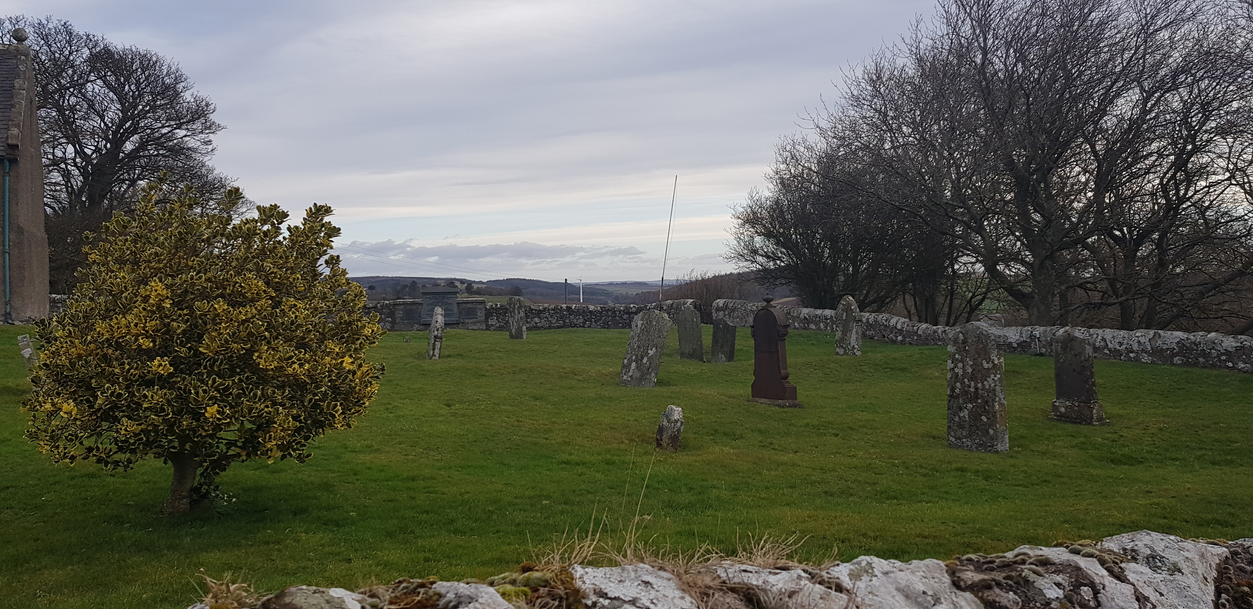
Plenty of spare spaces
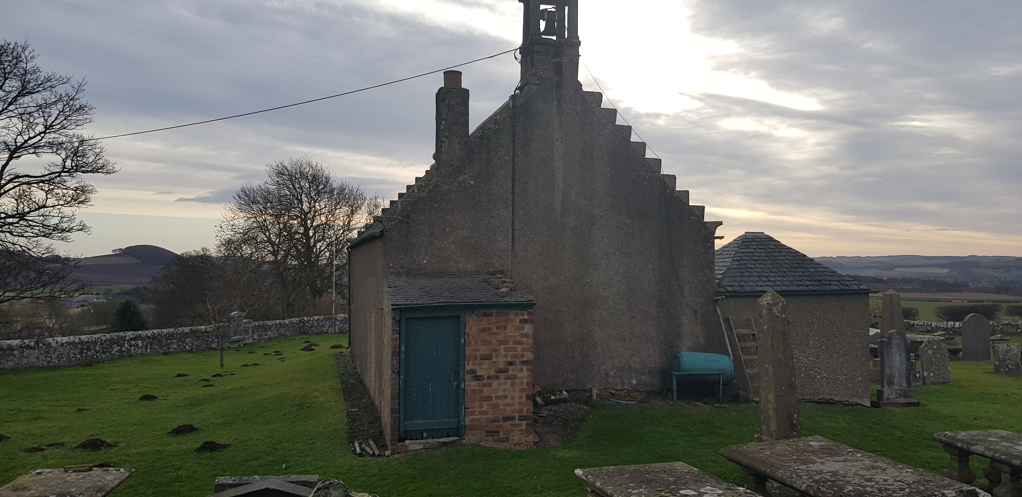
Back end of the wee church, moles have been busy

View from the summit or high point

Having been up there twice, Mount Hill can be nearly always be seen from north of Fife
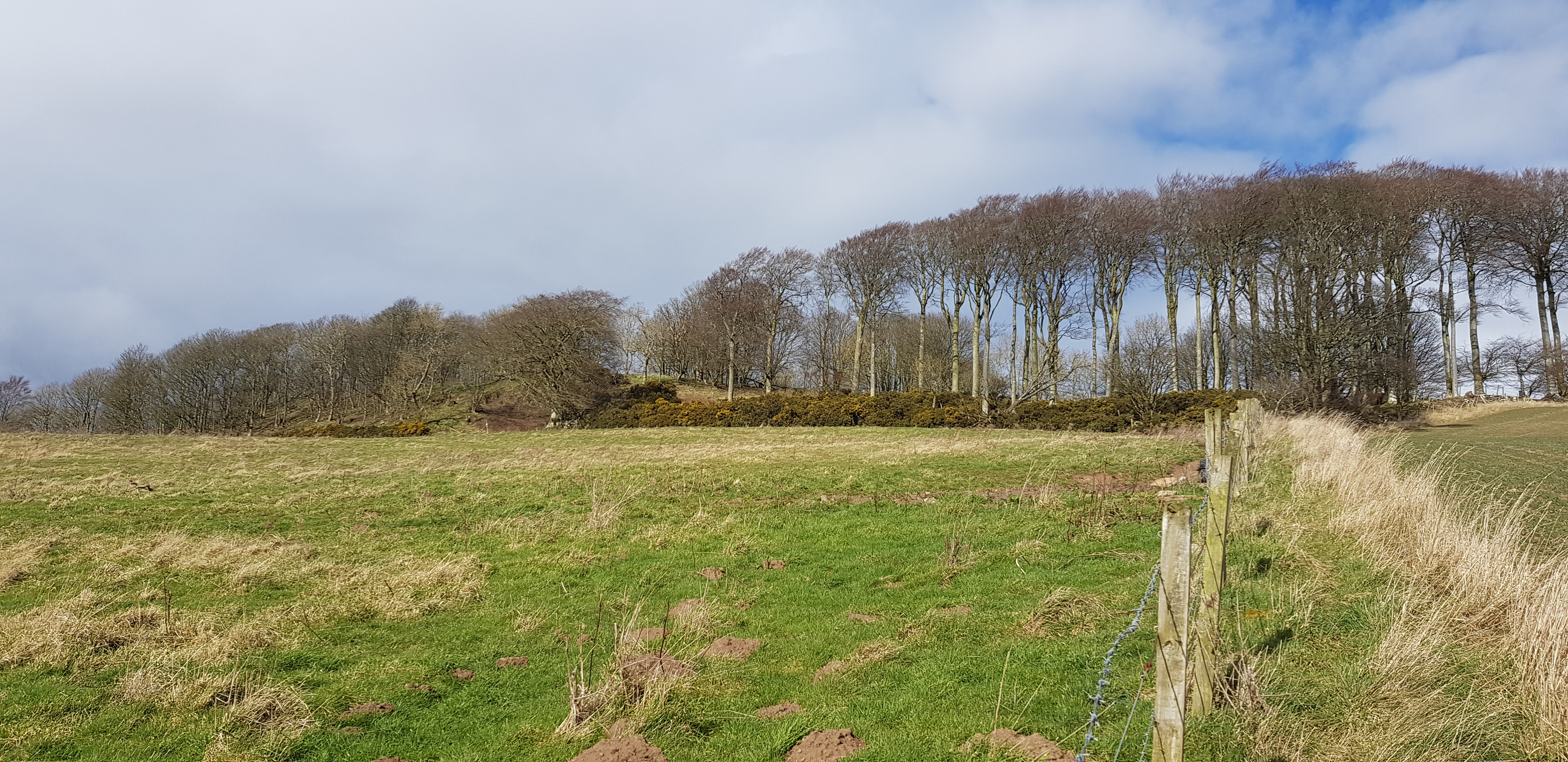
Colluthie Hill, 130m, 73m of ascent, 1.7km, 30mins

The way ahead

Looking back, one or two of the bigger farms have their own wee lake

I don't think we will climb over that!!

Not far to the summit

Someone had kindly left a chair on the summit

Slightly different descent route, nicely cut path

Nice gate, shame we couldn't utilise it - we weren't going that way

Another photo of Newington farm and the extensive buildings. The hill across the road is our next target
Murdochcairnie Hill, 157m, 93m of ascent, 1.6km, 30mins

The way ahead, we had already observed possible problems - fences etc
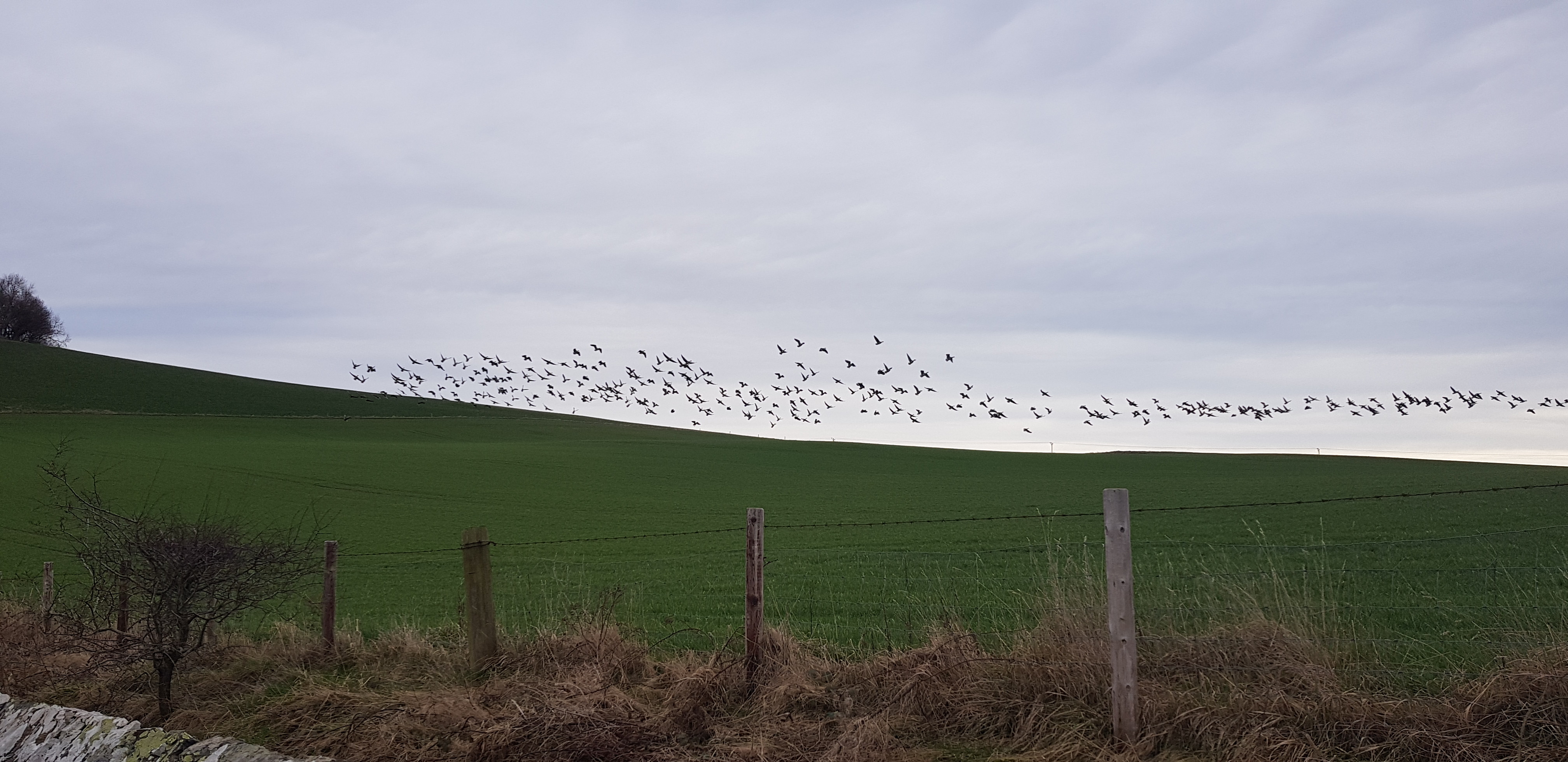
Large flock of geese relaxing in the next field didn't like the look of George's red jacket

You can see the problem, not much room to walk without stepping onto the ploughed ground

One for the flower lovers, plenty of bunches of these dotted around

We are now in the wooded area, looking back down to the way we came up
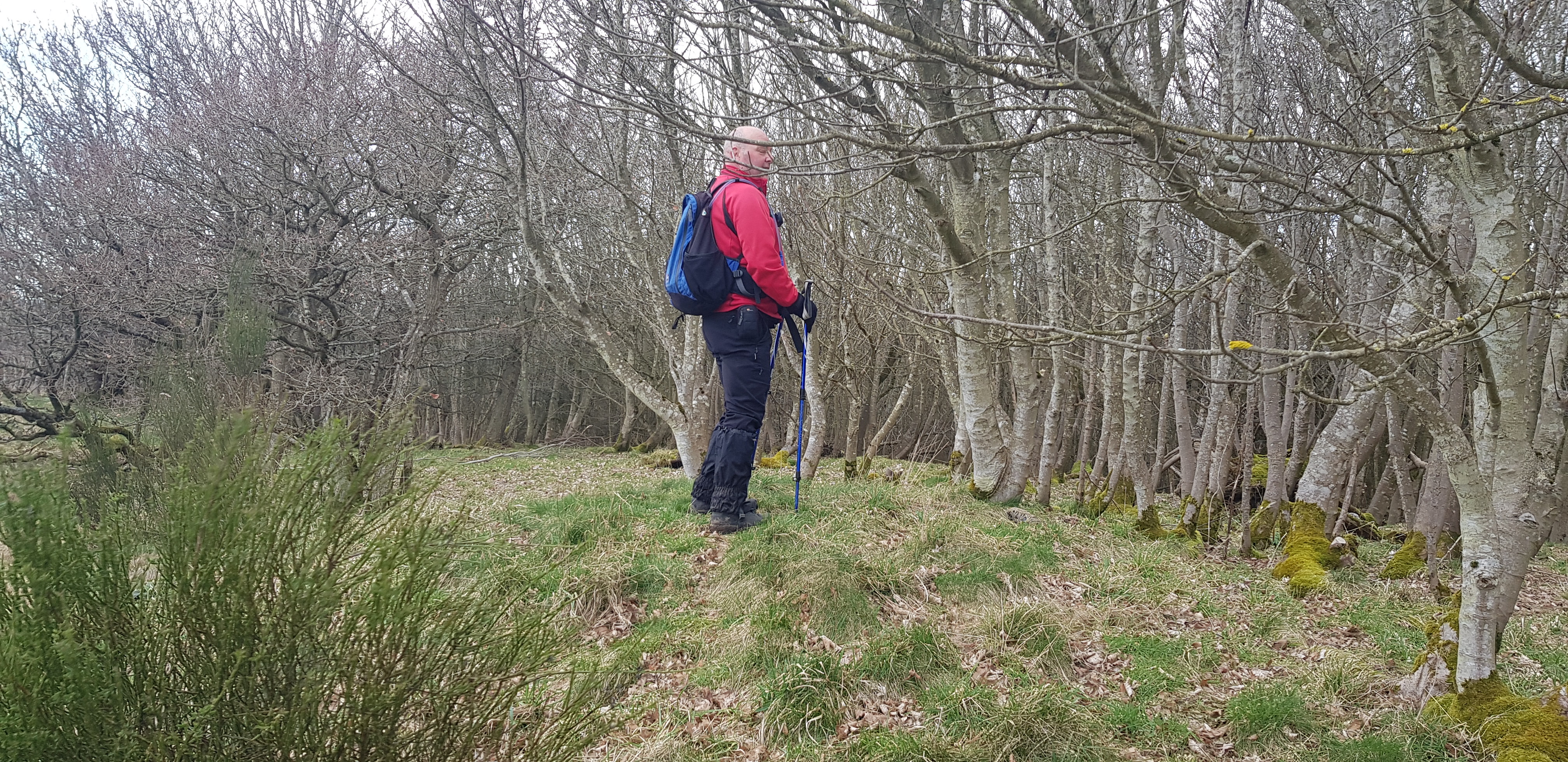
George standing on and looking very impressed with the summit of Murdochcairnie Hill
Darklaw Hill, 150m, 72m of ascent, 1.1km, 20mins

The way up round the gorse on Darklaw Hill

Looks like the farmer has been pruning the gorse fairly recently

The masts and stuff on the summit of Darklaw

Summit of Darklaw Hill, very impressive? One of the few hills where the summit isn't in a wooded area
Our next target across the A92 - North Hill, which happens to be north of Darklaw
North Hill, 123m, 58m of ascent, 1km, 20mins
Low level shot looking up to North Hill, we would be heading left first

Easy going and not far to the summit

Looking south to Darklaw Hill, all the dark green is gorse
Anyone explain the reasoning? You could probably see it from the A92

George posing on the summit of North Hill, we just about had to lie down to work out which bit is the highest
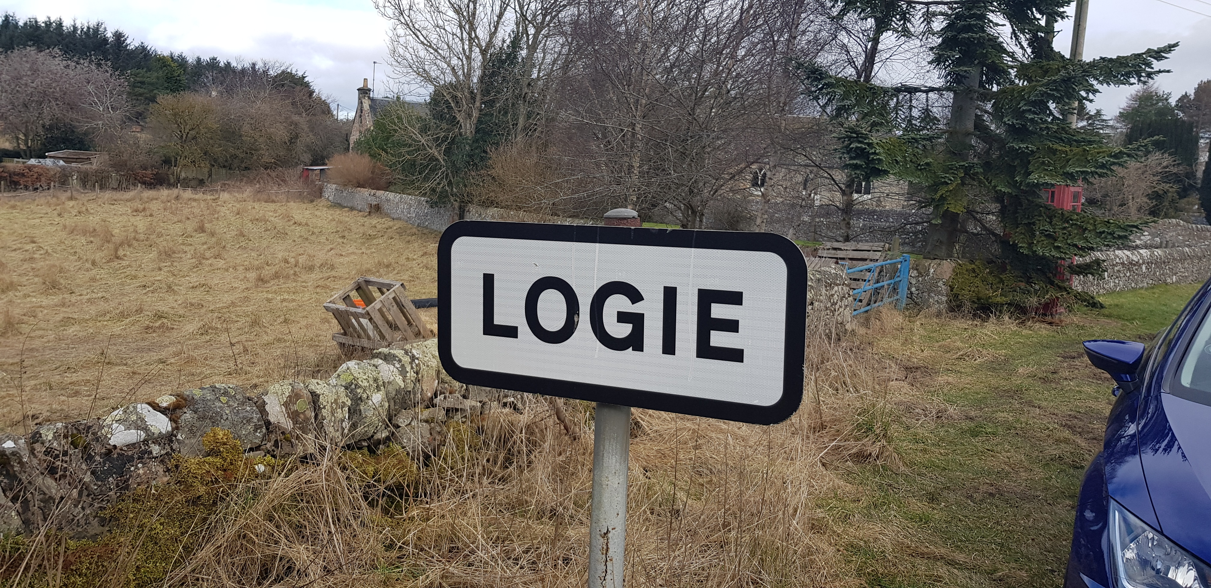
The drive to Lucklaw Hill was interesting, it was the furthest away hill and the plan was to tackle it from Quarry Road which goes from Balmullo to Logie. Warning - the road surface from Logie to Lucklaw is awful, potholes that go down to the southern hemisphere and it is only single track.
Lucklaw Hill, 190m, 93m of ascent, 1.8km, 35mins
Very walker friendly

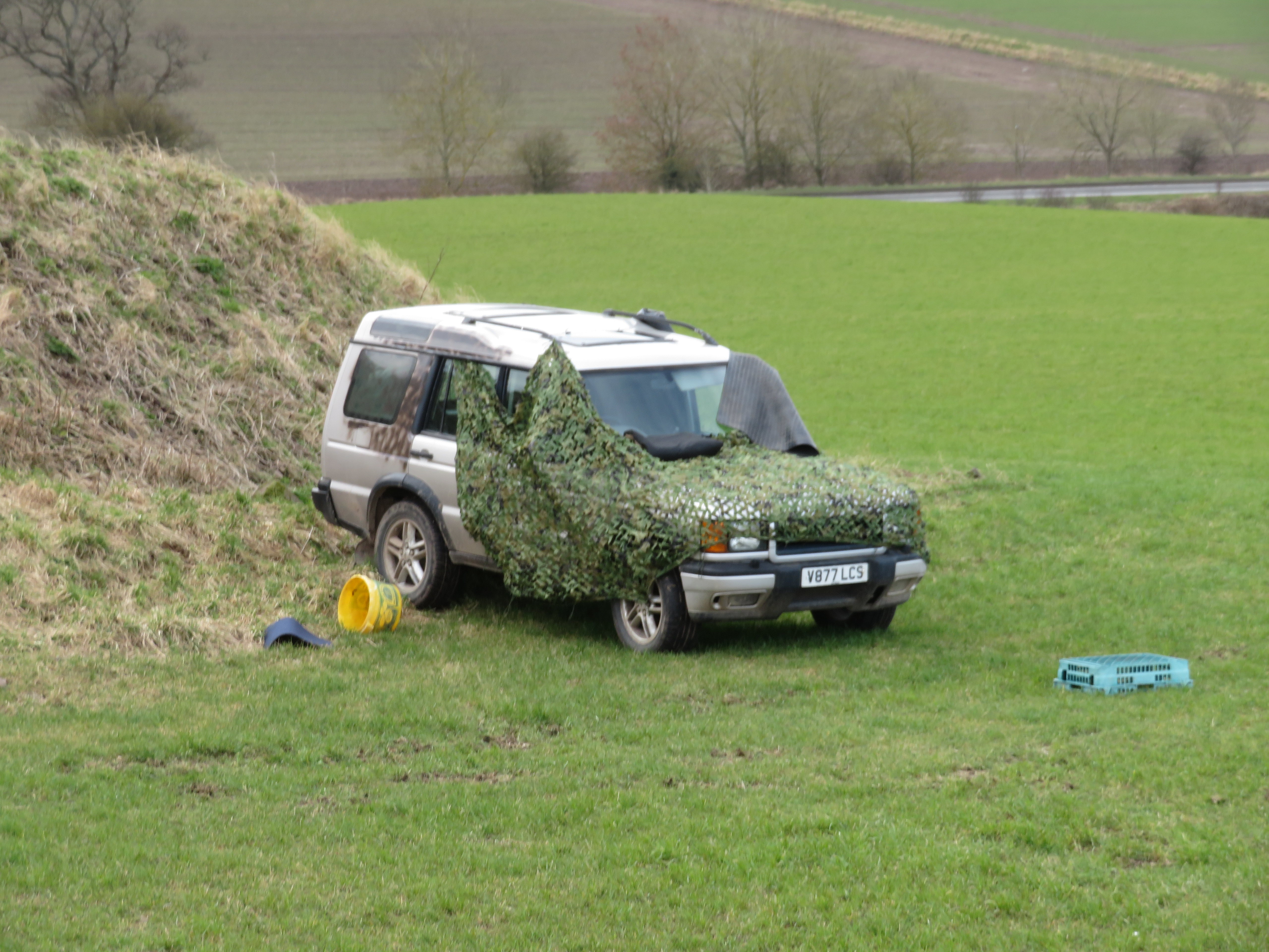
Parked near this sign, original plan was to walk up around the track in the quarry but that is fenced off
Nice woodland walk for the doggie folk

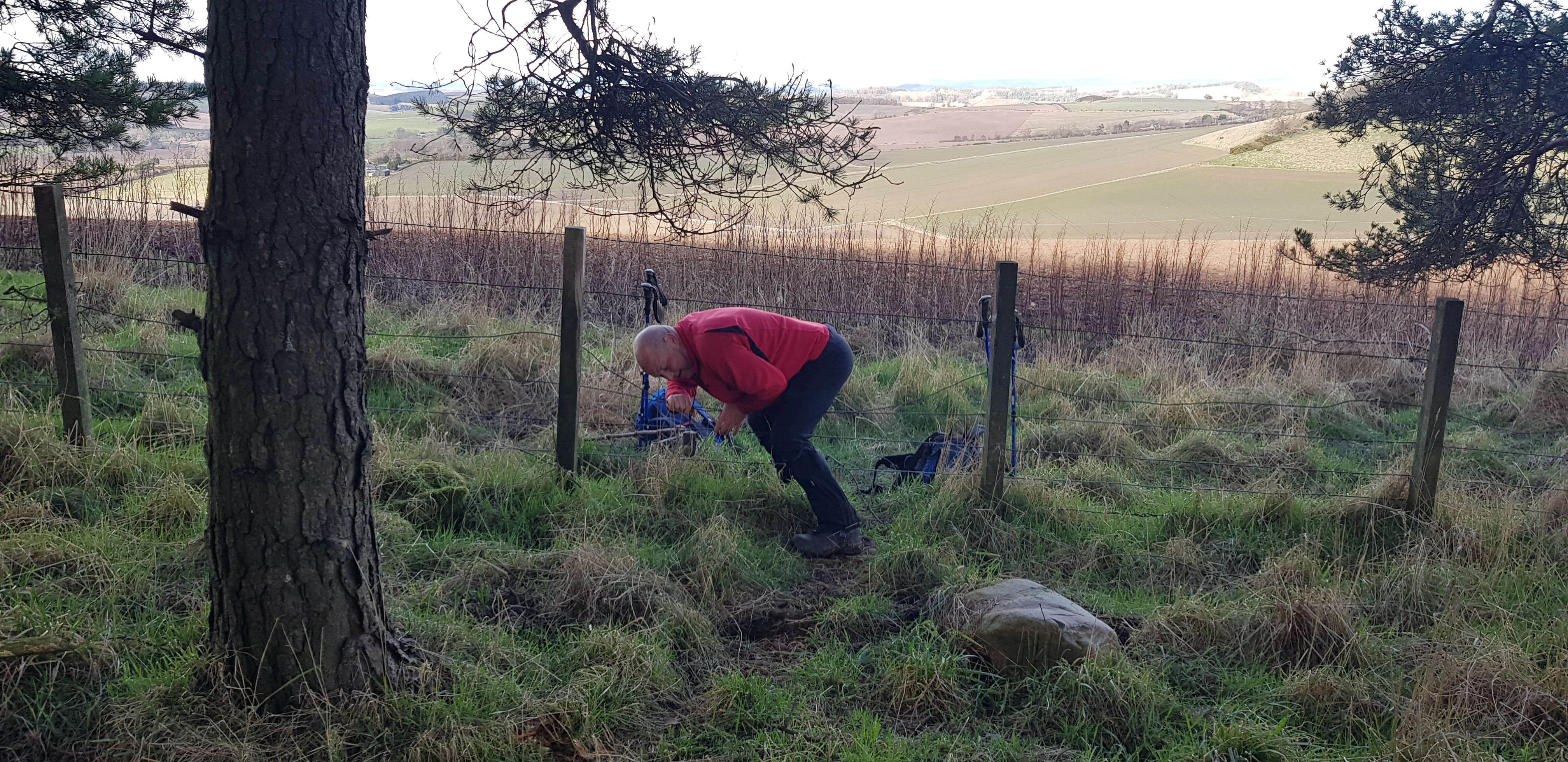
Once out of the wooded area we came up the field behind George - as he elegantly clambers over the fence

Summit area of Lucklaw Hill

Very nicely finished exterior of the building on the summit of Lucklaw

The trig on Lucklaw

Cracking view from Lucklaw, looking out towards St Andrews over the Eden Estuary & Leuchars Airfield or whatever it is called now

Here you Parminder

Summit buildings
Airdit Hill, 162m, 62m of ascent, 1.5km, 30mins
The start of our next adventure
Parked next to this, not many of them left

We were welcomed to Logie by this friendly sheep, who was trying to point out that her pal was stuck

Very rare for sheep to come so close

The sheep that George is with had it's horn tangled up in the tape on the fence
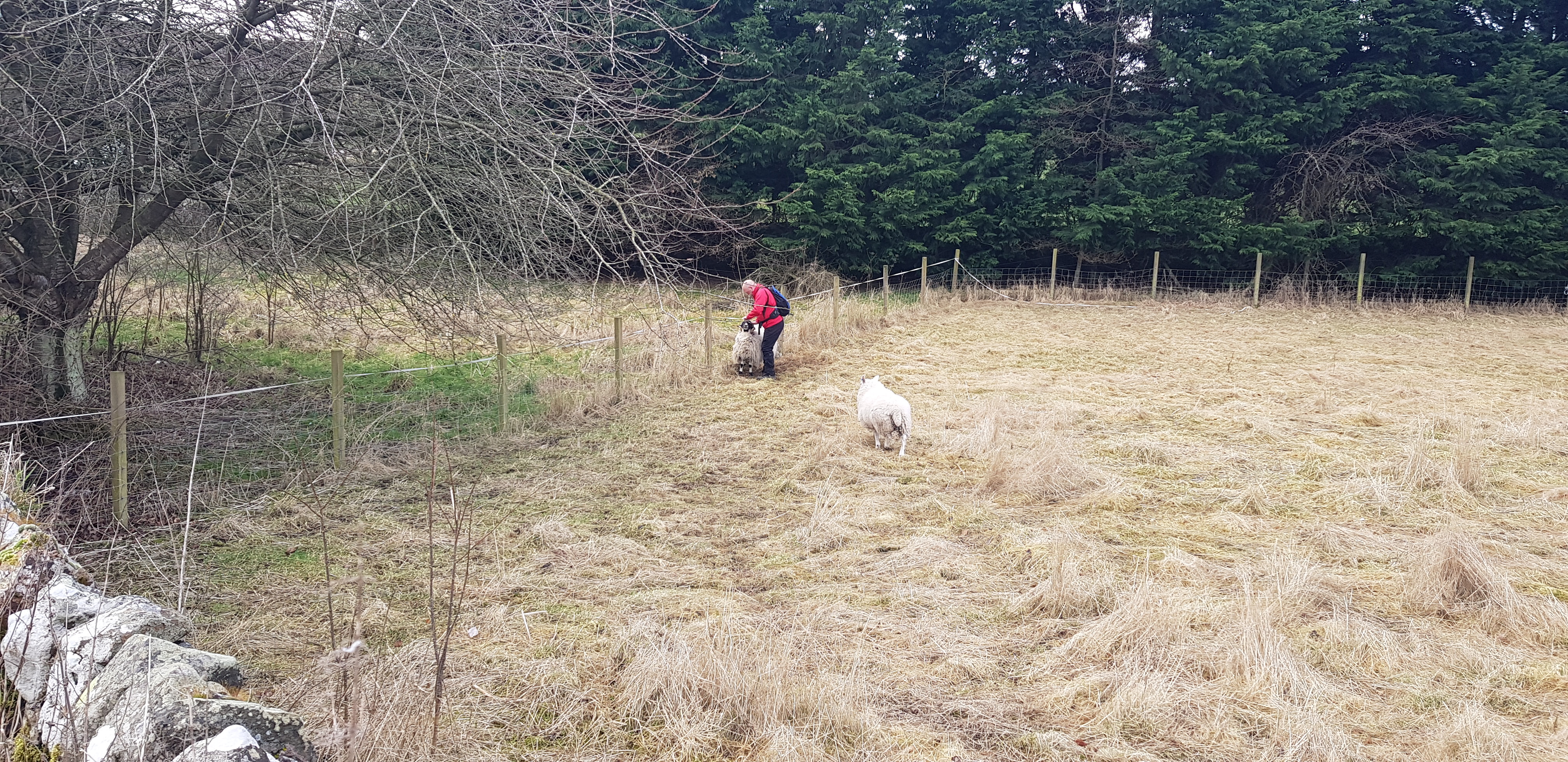
George's assistant coming to help free it's pal

Success, George has some new best pals

He was being nudged whilst walking along, maybe that is the sheep way of saying thank you

George almost running now

The gate is just on the other side of the tree, it even tried to climb the gate

Airdit Hill is amongst the trees over there

Looking back towards Logie

Airdit was full of incident and surprises, this was the next one

Bit closer to the construction

You should see the size of the screw driver

We were puzzled as to why you would build there? Trees in the way and no access, not sure how all the timber etc was transported uphill

Summit of Airdit Hill

George's pals waiting for him after our visit to Airdit
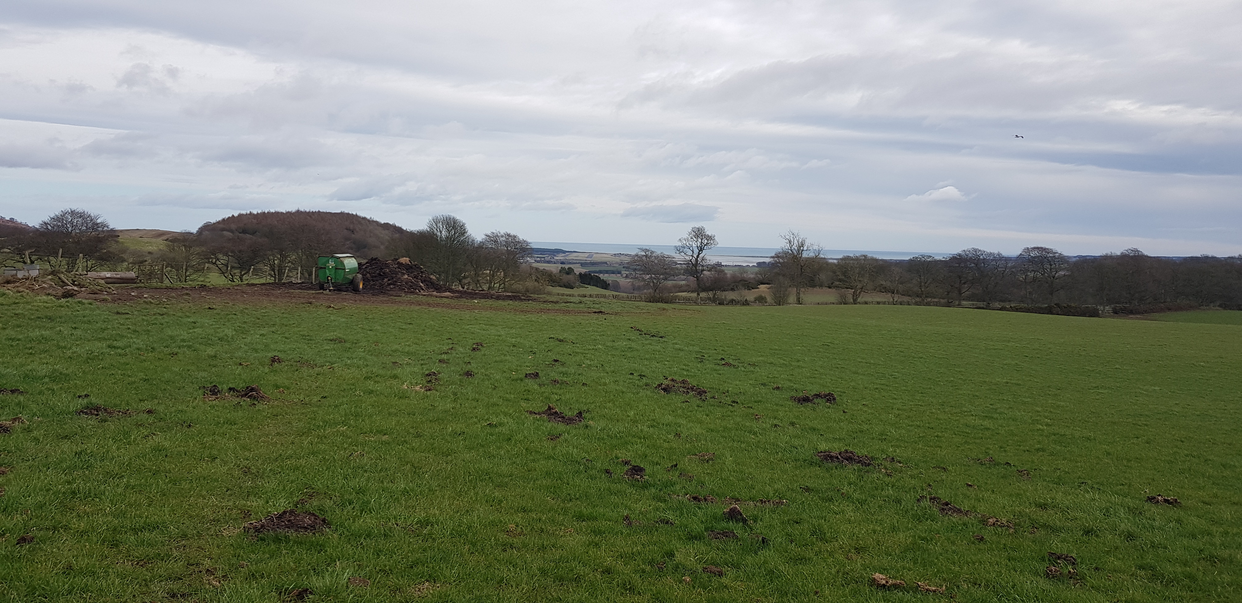
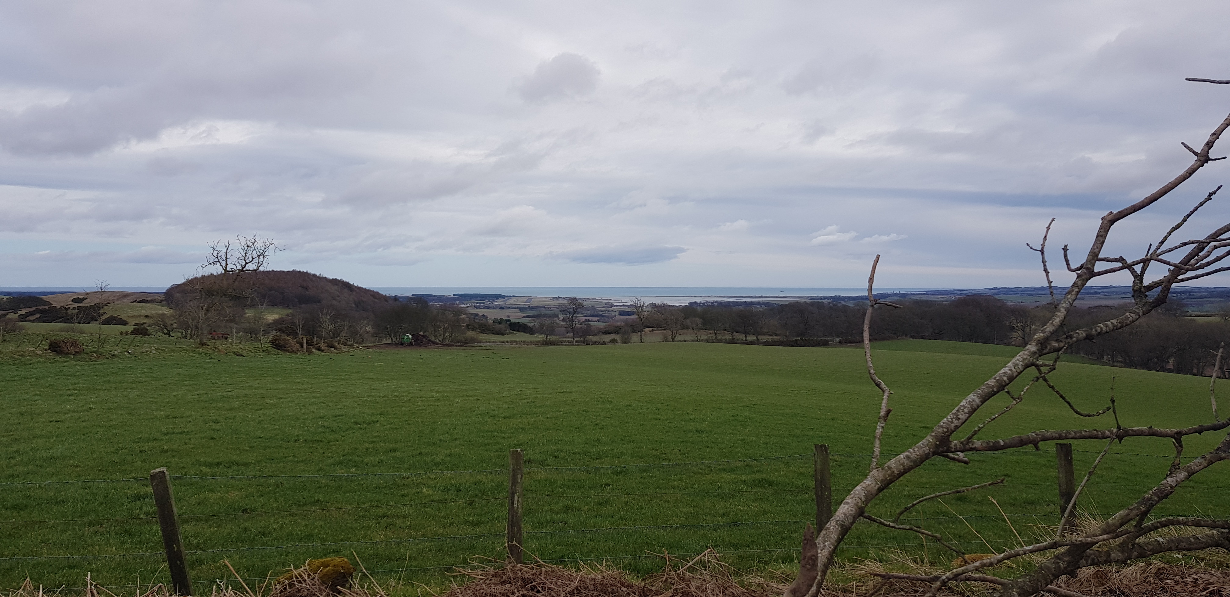
Craigfoodie Hill, 159m, 68m of ascent, 1.6km, 30mins

Craigfoodie is the lump in front, we would go to the left of the gorse. Obvious obstacles in the way, 3 fences

In need of a roofer? Which is ironic as our garage is being reroofed

Once over the wall, it is round to the left for us

We managed to scale the fence at the junction - carefully

Looking out to the North sea, Tentsmuir Forest in the distance

The quarry in the distance is the one at Lucklaw, with the masts on top

The Lomond Hills in the distance from the summit of Craigfoodie

Leuchars from the summit of Craigfoodie

We opted for a different route back to avoid the barbed wire, George about to do a bit of flying

Concentration, ready steady jump
Next on the list was Craigsanquhar, which wasn't at all exciting or interesting
Craigsanquhar Hill, 159m, 17m of ascent, 800m, 15mins

I bet you can guess where the summit is? Spot on, in the trees
Looking back whilst ascending very slightly

Summit of Craigsanquhar
View not too bad looking east towards Leuchars

Not sure why you would build that in a fenced off area? Unless there is a gate on the other side of the wood
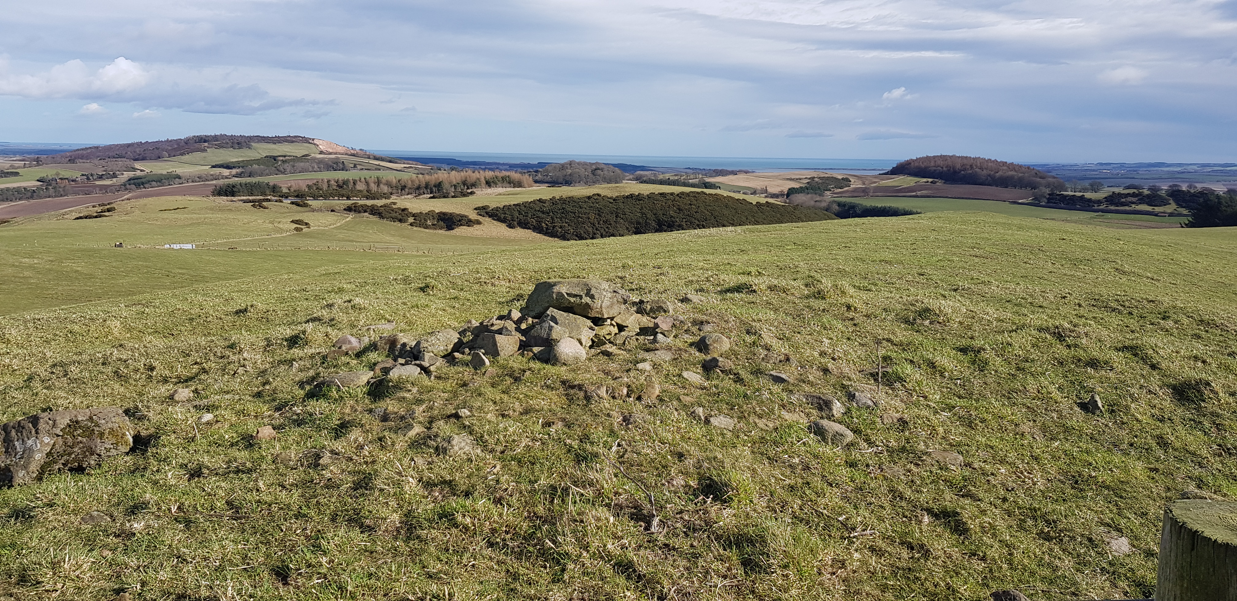
Forret Hill, 173m, 81m of ascent, 2.3km, 30mins

Forret Hill, the track goes round to the left avoiding all the gorse - thank goodness

As we turned left we are greeted by this sign, did it deter us - what do you think?

Looks like being another rounded summit

The summit is over there by the fence posts
A cairn of sorts, Parminder wouldn't be impressed though

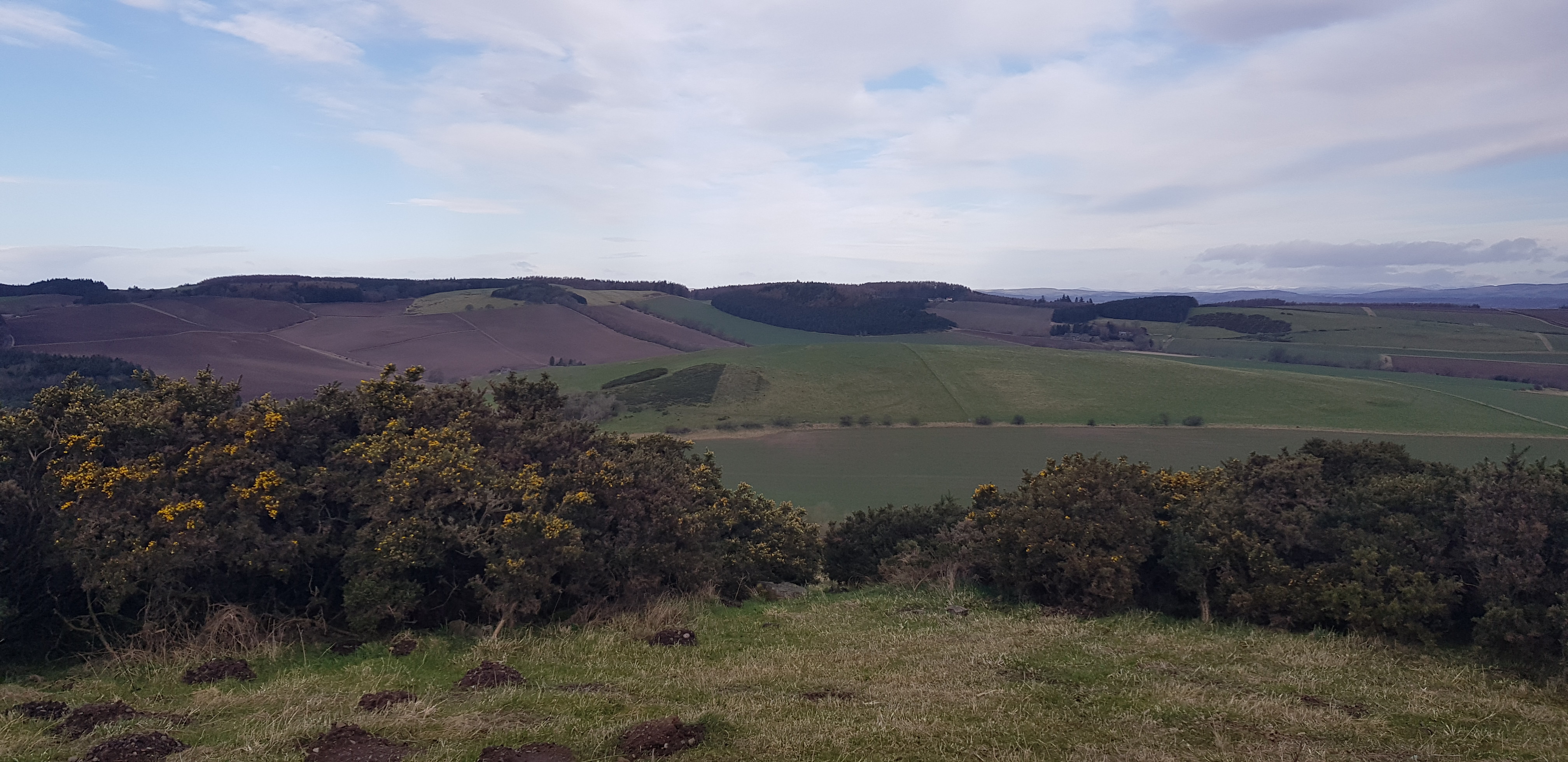
Lomonds in the distance as well as the tower on Mount Hill

Lucklaw quarry and the Tay in the far distance
Myrecairnie Hill, 173m, 157m of ascent, 3.9km, 1hr 15mins
and
Kedlock Hill, 163m
The track that kind of splits Myrecairnie & Kedlock Hills

Looking back, plenty of arable fields

Myrecairnie Hill which would be the second of the two
Our route up to Kedlock Hill, more trees so no view

Looking back to the field we crossed, carefully walking in the tyre marks left by the tractor

Looking across to Myrecairnie, we would follow the obvious fence line uphill

The summit area of Kedlock Hill
We have a confession to make, I/we thought Kedlock Hill was Myrecairnie and the OS map indicates there is a trig, so not to disappoint Parminder we spent 20 minutes searching all over the summit area for the trig that wasn't even there!!
I even looked in there for the trig

Our route off Kedlock, follow the fence downhill to the next fence and then turn left

The plod uphill to Myrecairnie was a bit of a struggle

Looking back, Kedlock Hill doesn't look very big
The way to the summit
George demonstrating how to wriggle through a fence

Here it is the trig we searched high and low for

Parminder this one is for you

Our descent route

Looking back up towards Myrecairnie for one last time
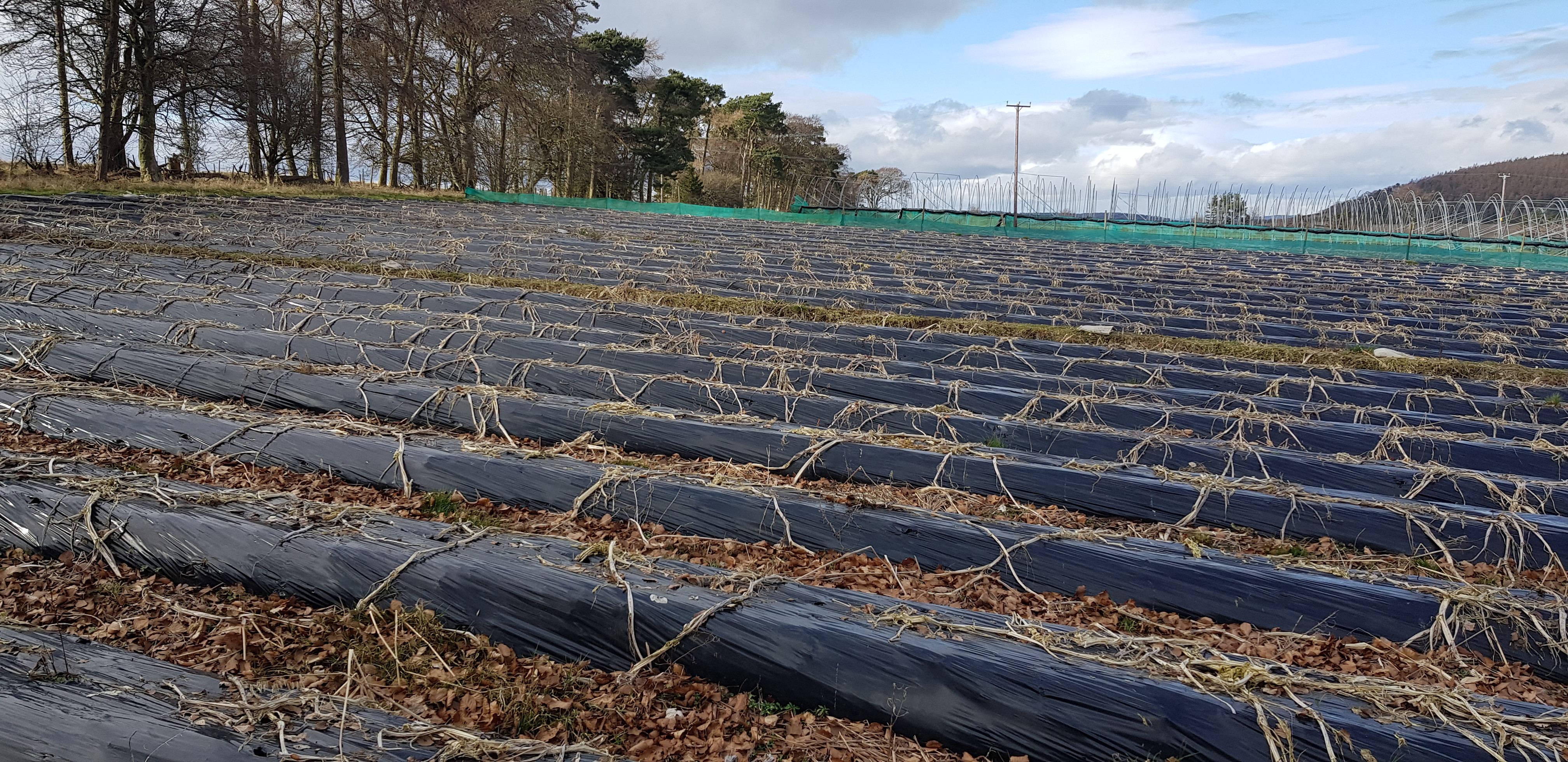
Foodie Hill, 156m, 70m of ascent, 2km, 30mins

The way ahead to Foodie Hill, past the large Foodie Farm

Looks like a pile of carrots and parsnips

Looking back to the farm area

A first on our adventures - a dovecot
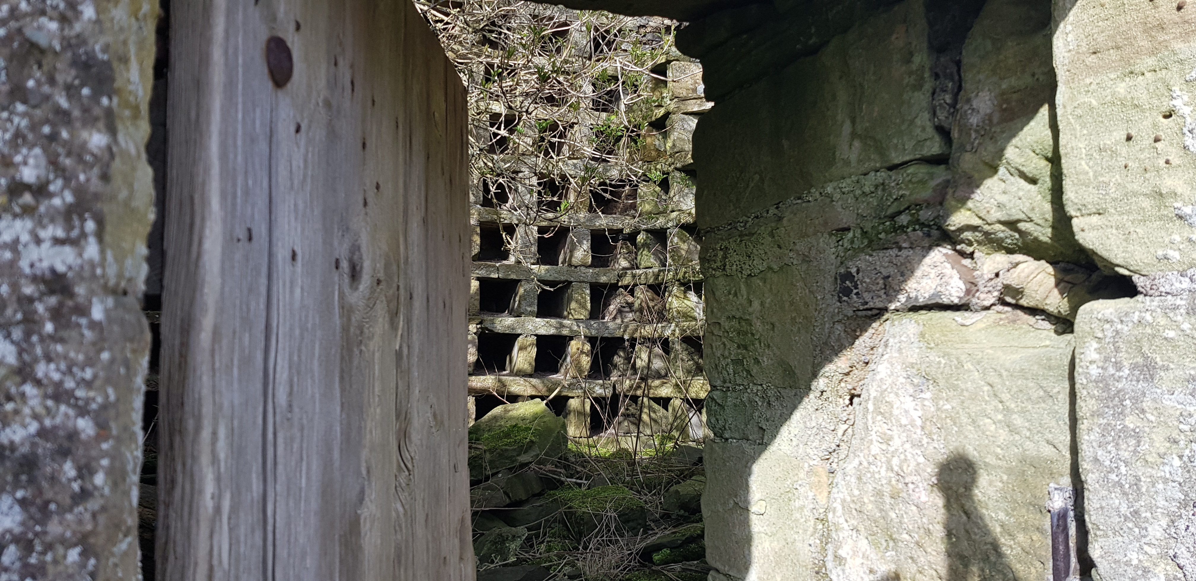
Looking inside, not been used for a while

Some sort of crest / emblem above the entrance

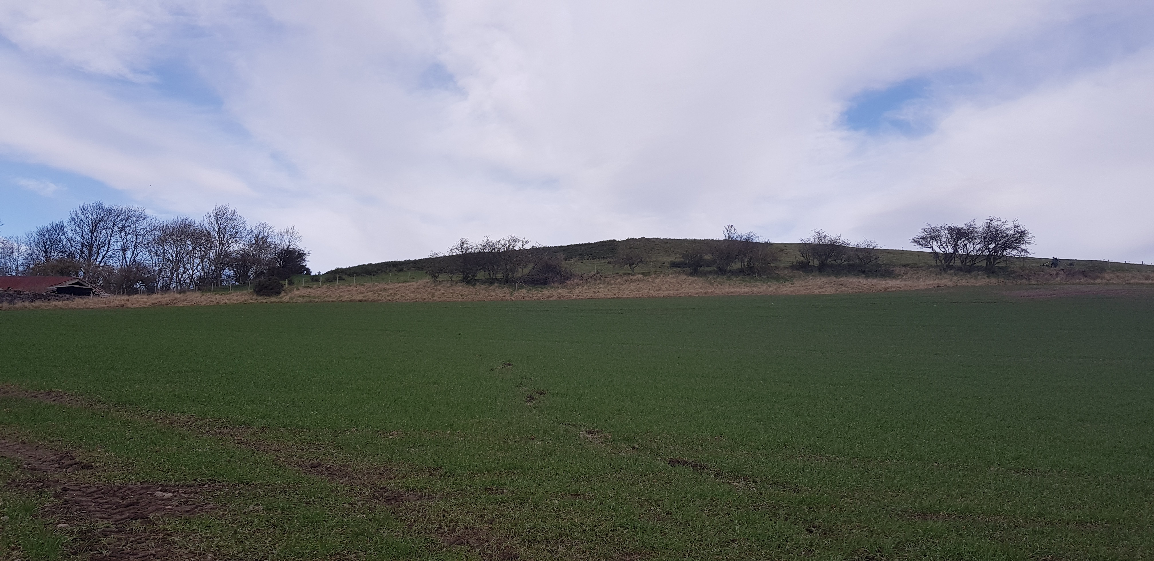
The summit of Foodie Hill is up there

Summit area, yet another with no views unless you like trees
Kilmaron Hill, 147m, 73m of ascent, 3km, 40mins

Having parked at the entrance to Cairnie Fruit Farm, the way ahead into the trees
They look overgrown and past it to me, but I am not a farmer

The way ahead, rather muddy and puddly

Looking back

Nice woodland walk, it would take us almost to the summit

Something different

Summit of Kilmaron Hill
[u]Hill of Carslogie[/u], 87m, 19m of ascent, 550m, 10mins

Our final ascent all 19m of it, not even sure it was that much but Viewranger never lies

Do we climb over the fence or the gate, you decide
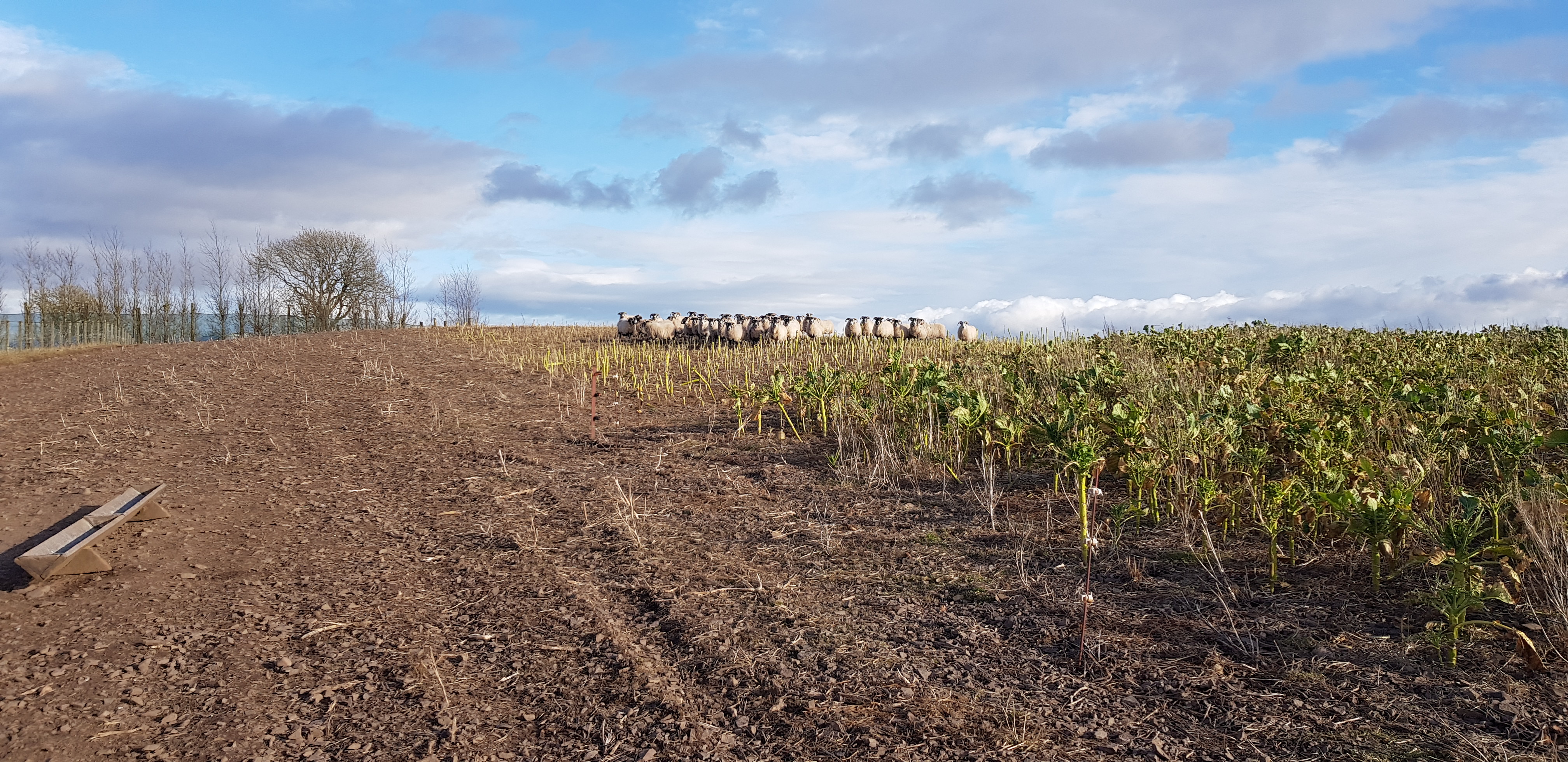
The sheep are on the summit

Uthrogle Mills in the distance

Hilton of Carslogie Farm

We apologised to the sheep for moving them away from munching the old stalks left

Electric fence on the summit area, directing the sheep where to eat next. The cables weren't exactly obvious
Another enjoyable and fun filled day, we are seeing parts of Fife that we didn't even know existed.
That haul takes both George and I into the 90's, Fife Tump wise. There are 112 but 3 of them will have to wait until restrictions have been eased as they are in the Forth. After the latest announcement from our leader we will have plenty of time to complete the mainland Tumps, we could almost complete a second round.
The next outing probably this week will be a relaxing one tackling 11 Tumps in the far east.
