free to be able to rate and comment on reports (as well as access 1:25000 mapping).
Lockdown still in force and that can only mean one thing, more Tumps on the menu. The next batch of 11 are south and east of Cupar, although the hills were slightly bigger than last weekend because of my careful planning our ascent was less than 500m. One surprising thing was pout of the 11 hills - 6 of them had trigs on or near the summit.
Here are the hills in the order that we tackled them:
Dalginch Hill, 137.5m
Hill of Kirkforthar, 157m
Down Law, 241m
Clatto Hill, 248m
Walton Hill, 188m
Hill of Tarvit, 211m
Clatto Hill, 168m
Drumcarrow Craig, 218m
Fleecefauld Hill, 212m
Caskerdo Hill, 202m
Pilmuir Knock, 100m
Dalginch Hill, 137.5m, 19m of ascent, 500m, 30mins

Our first hill certainly cause us to break sweat, looking back to the road where we parked

The ascent was so easy George didn't even need to use his poles

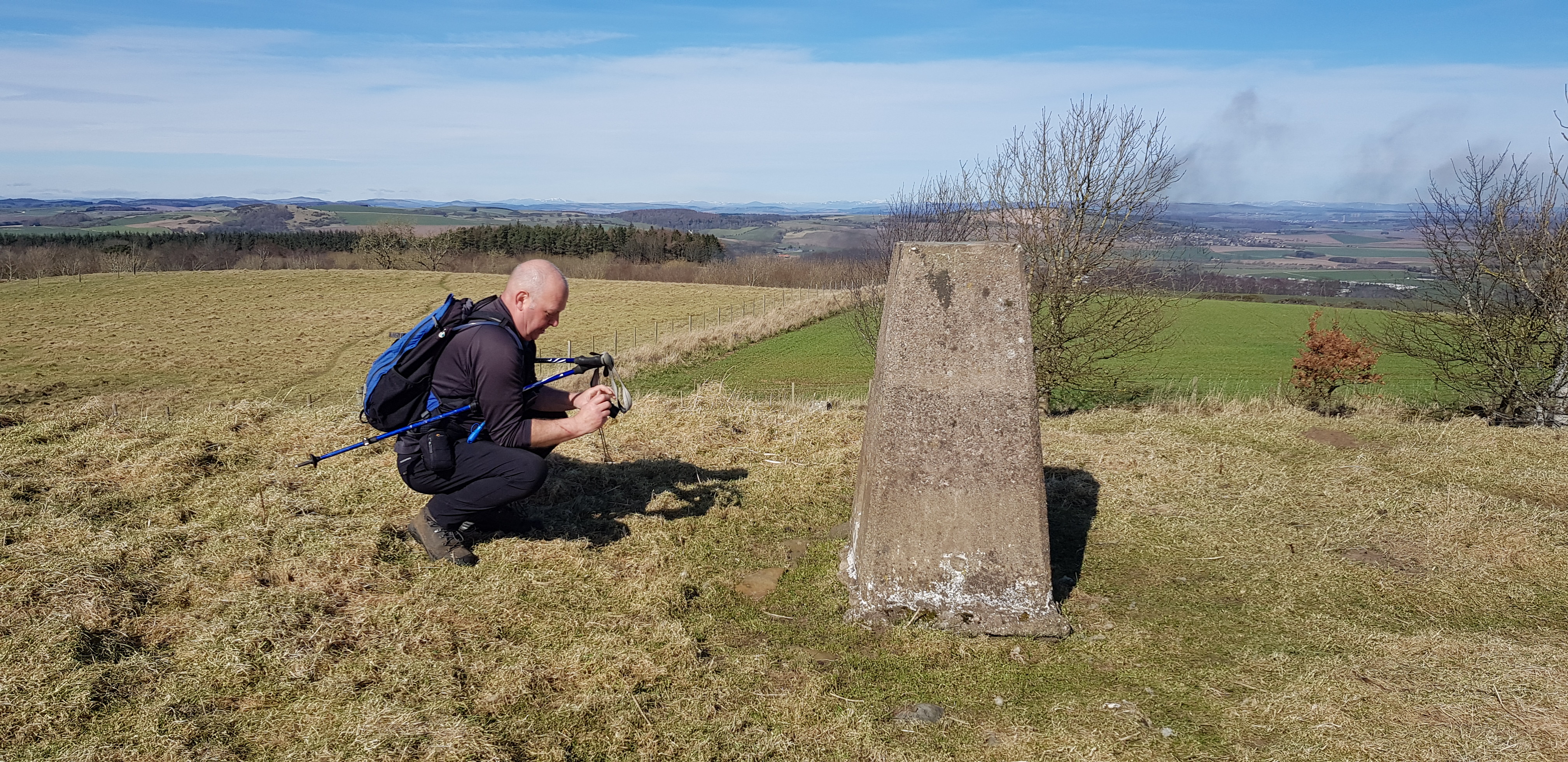
The trig on Dalginch with Glenrothes in the background

Looking back to the slight incline we had to make

Looking SW, the Forth in the distance

Trig number - for Parminder and anyone else who is interested

Video on the summit of Dalginch
Hill of Kirkforthar, 157m, 21m of ascent, 2km, 30mins
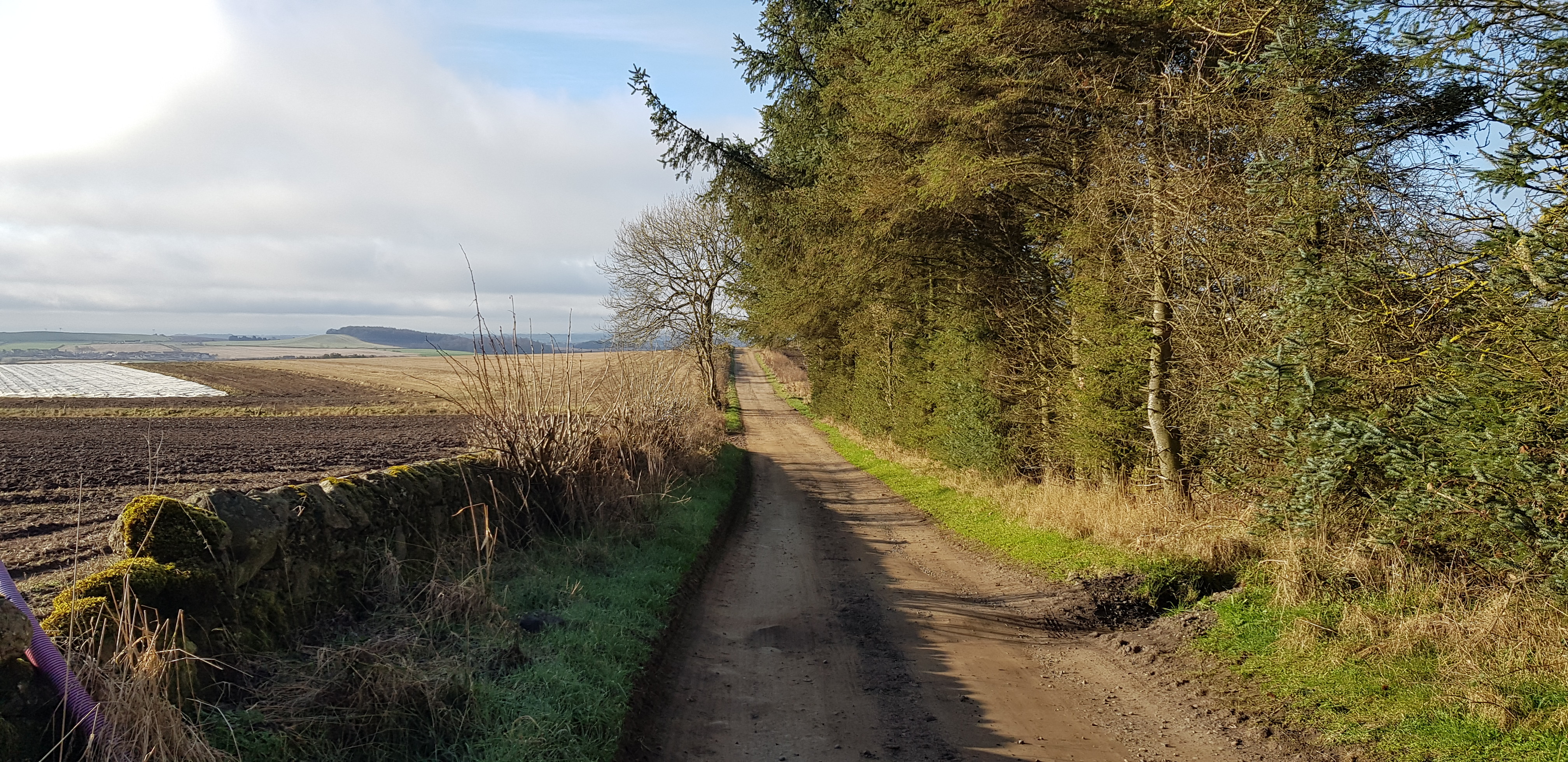
The track at the beginning of the walk to Kirkforthar, we would be turning right shortly

Looking back

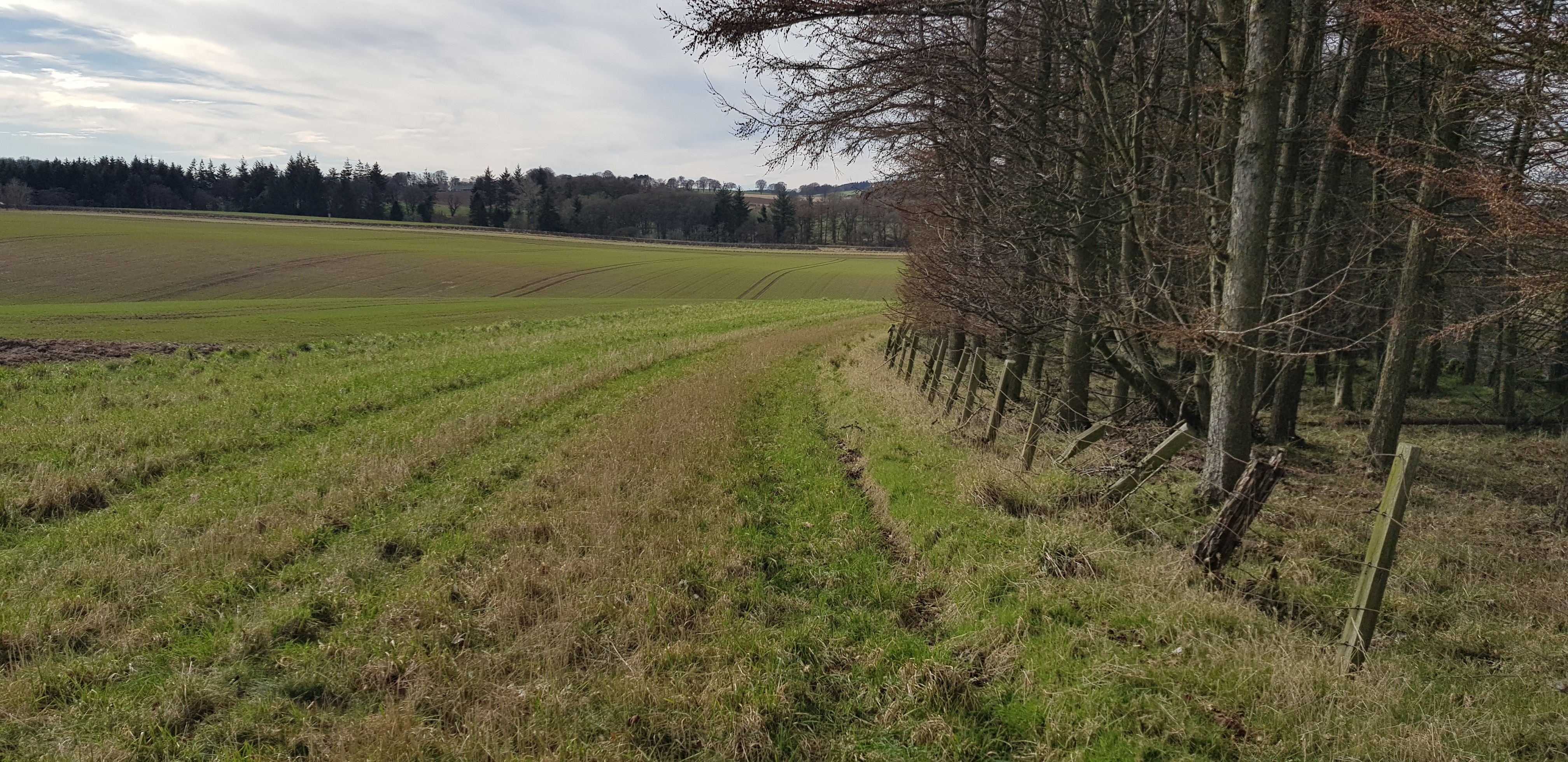
Having turned right we are now walking on the edge of a ploughed field

Looking north across the ploughed field

Looking back

The summit or high point is on the field, luckily the mud/clay/soil was dry and very firm
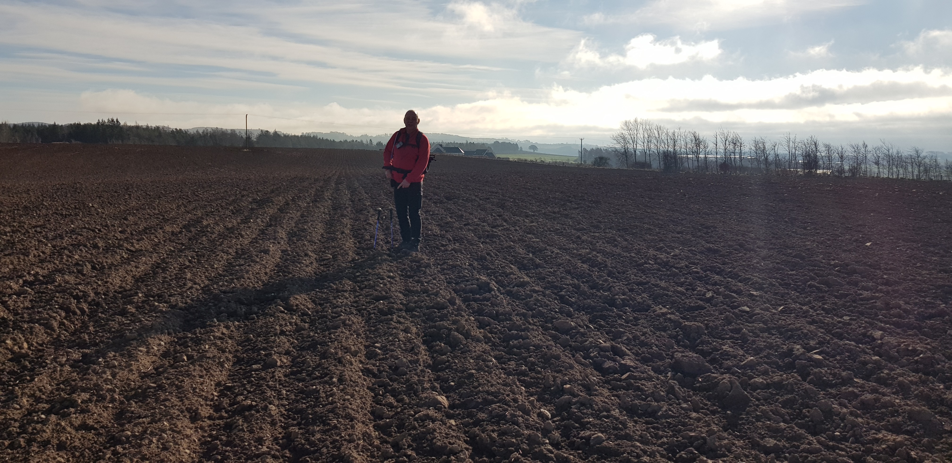
George on the summit

West Lomond from the flat summit of Kirkforthar

During our search for the elusive trig we thought it might be hiding behind the pile of stones

Now you can see why we couldn't find the trig, it was in a hollow on it's side, presumably moved by the farmer

The trig number, for the trig lovers

The hollow, a proper dumping ground
Down Law, 241m, 30m of ascent, 1km, 20mins

Our next target up by the masts

And walkers - like us

We are heading for the lump to the left of the masts. The farmer had spread the field with manure which was sticking like glue to our boots, lovely!

Looking down on the buildings supporting the masts

View SW, East Lomond in the clear, West Lomond with cloud on top
George looking towards our next hill

Stone circle? The summit apparently used to have a fort on top

Little pond for the anglers
Clatto Hill, 248m, 61m of ascent, 2.7km, 45mins

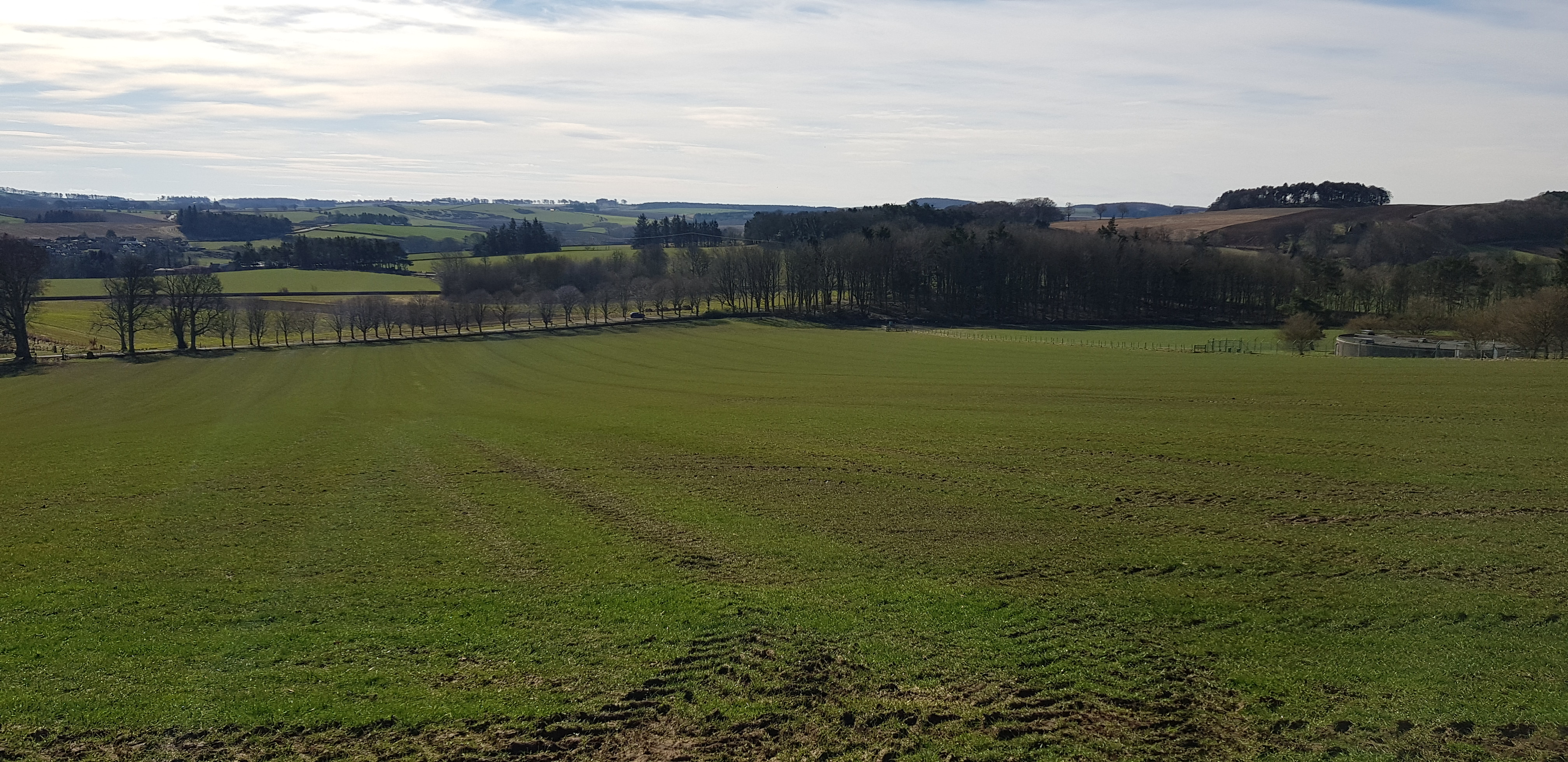
Our next hill is in the trees in the distance and is going to be our highest of the day. A couple of fields with sheep munching on turnips

The trees in the distance aren't getting any closer

A fair sized old ruin, looking back to our last hill

Ruin from another angle
Summit in there somewhere doesn't look like too much ascent for us
Terrain has taken a change for the worse, George looks like he is running?

Looking back over the mess

Not far to the summit

George standing and admiring the trig
Got to get the number for our absent colleague
Trig number for the trig lovers
Walton Hill, 188m, 59m of ascent, 2.2km, 35mins
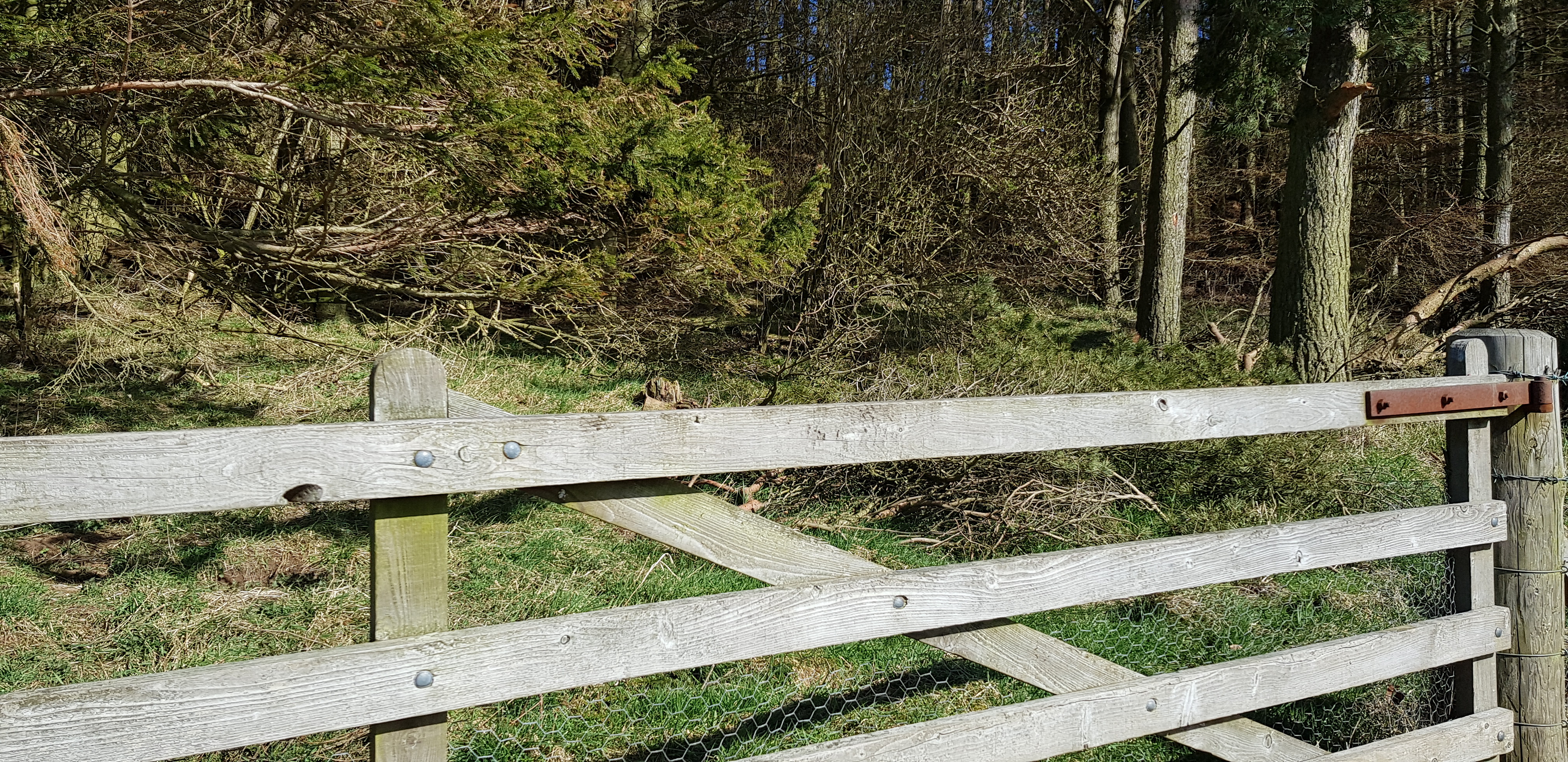
This turned out to be our toughest hill, purely because of the fences, you would think we would be getting used to them by now - but we aren't.

Nice woodland start

We have to weave our way through the gorse bushes

Marching slightly uphill

The Lomonds looking quite far away, from the summit of Walton Hill

Cupar in the distance on the left, Hill of Tarvit on the right

We opted for a slightly different descent route to try and avoid as many fences as possible
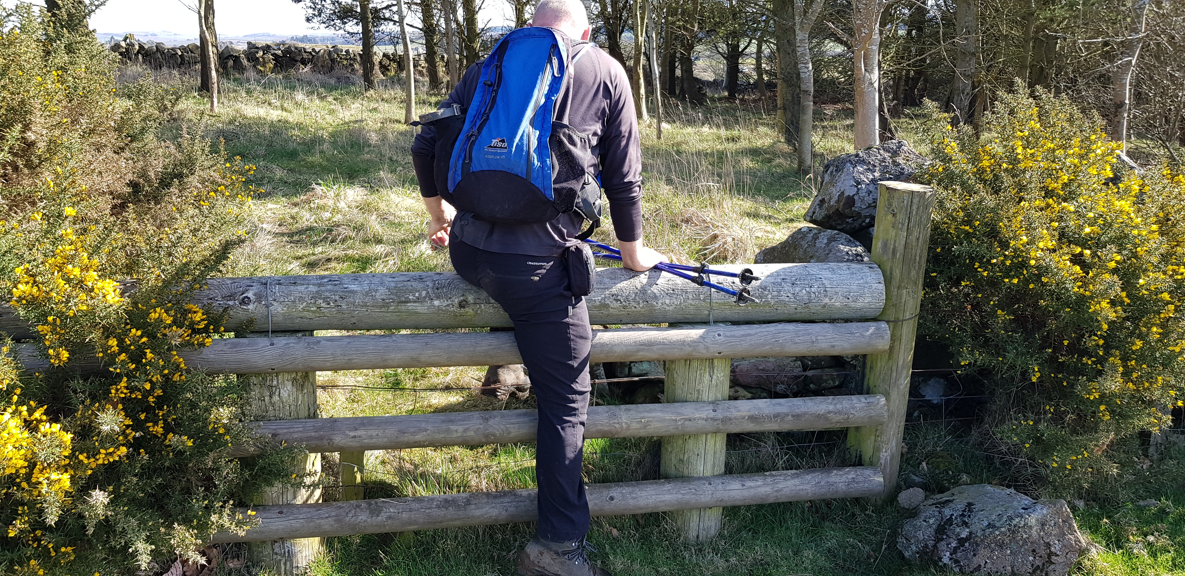
We wished all the fences were like this

Looking back from the other side
Hill of Tarvit, 211m, 83m of ascent, 1.3km, 30mins

The road to Tarvit Mansion House
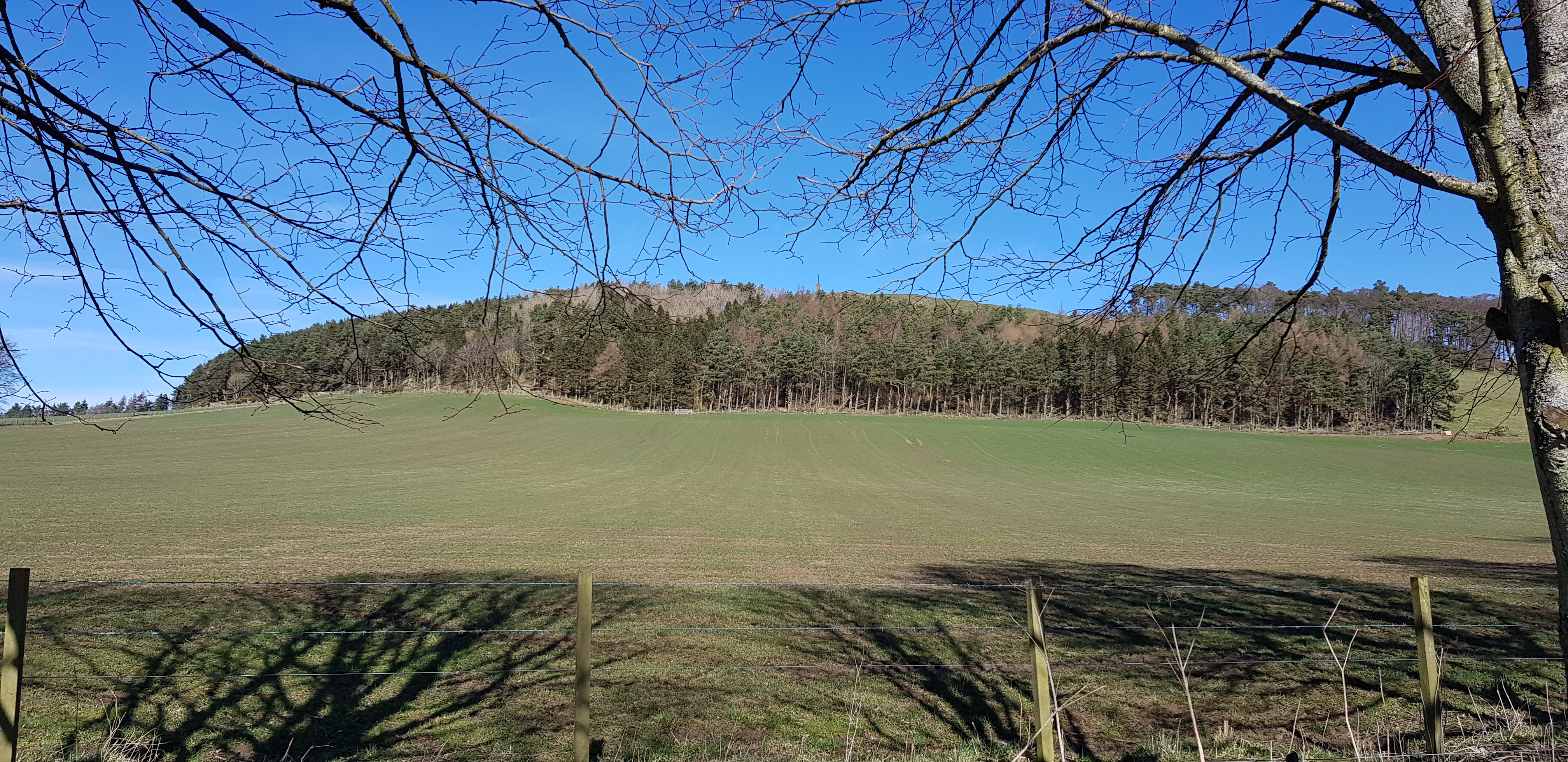
The way ahead, across the field and then into the trees
Looking back down across the field that had been fertilised and didn't smell very nice
A welcome sight, give us a gate any day

The walk uphill was reasonably steep

Our first sight of the monument on the summit, the observant will notice the obvious problem first - another fence

Looking back down on the small forest

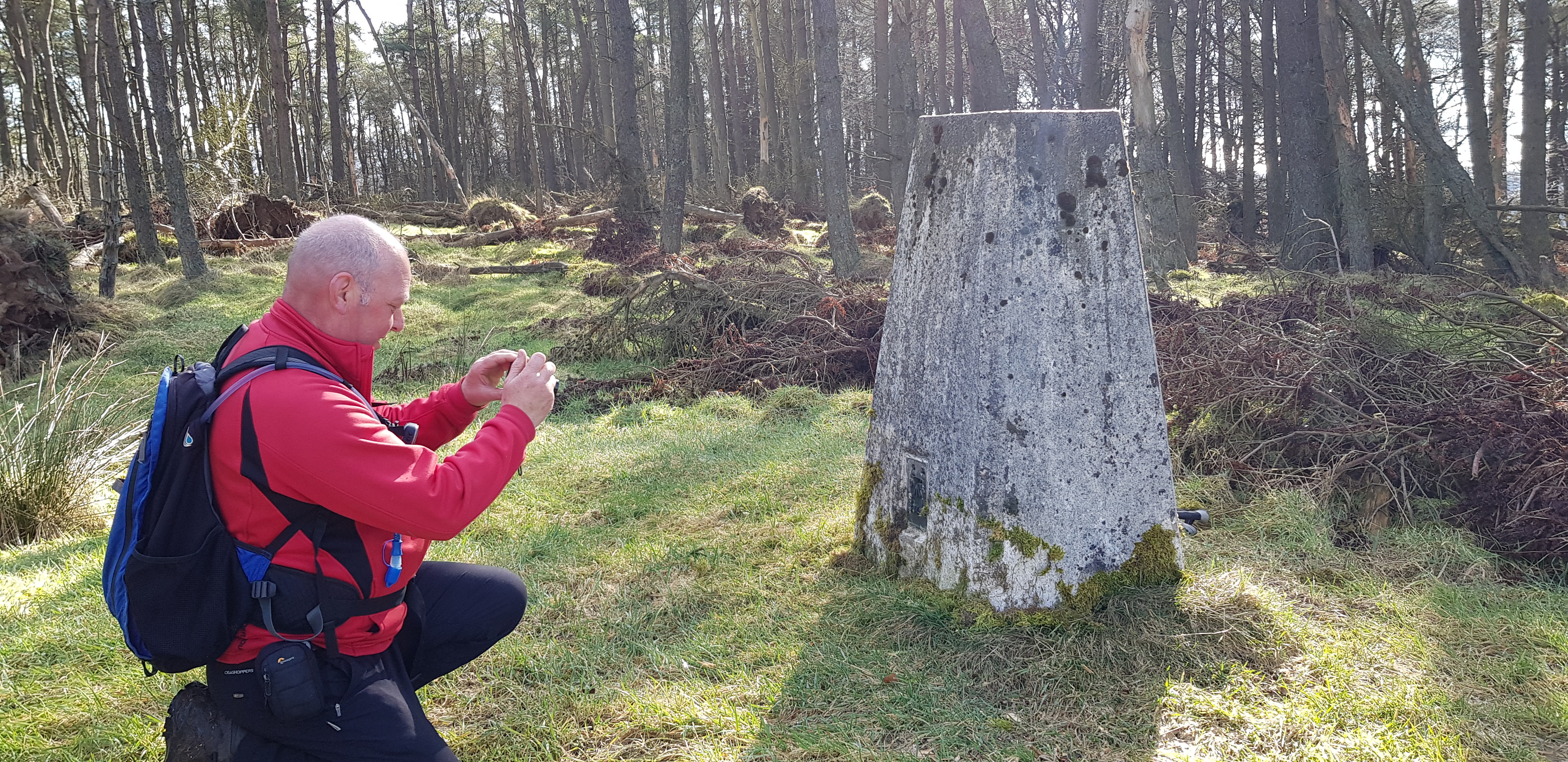
The monument & the trig

Looking down on Cupar

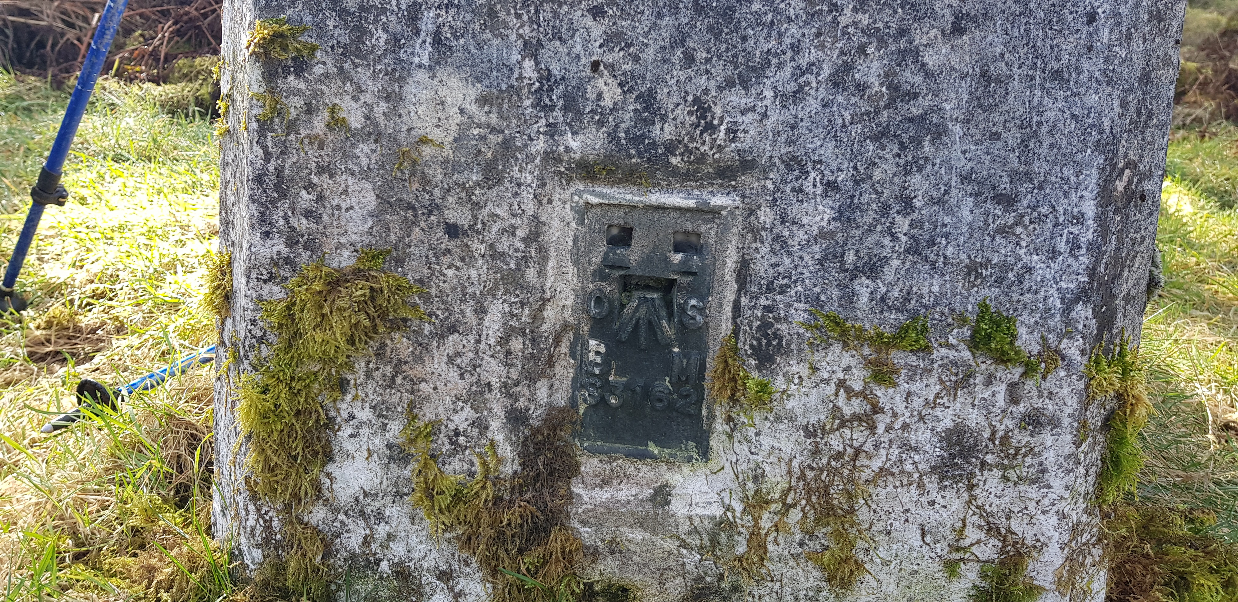
For the trig lovers again

The first of 4 view descriptions at the foot of the monument


A final shot of Hill of Tarvit before we headed east to our second Clatto
Clatto Hill, 168m, 27m of ascent, 700m, 20mins

This is in Blebo Craigs (near St Andrews), never been into Blebo before

Summit just up the hill on the left near the masts

Looking back down towards Blebo Craigs
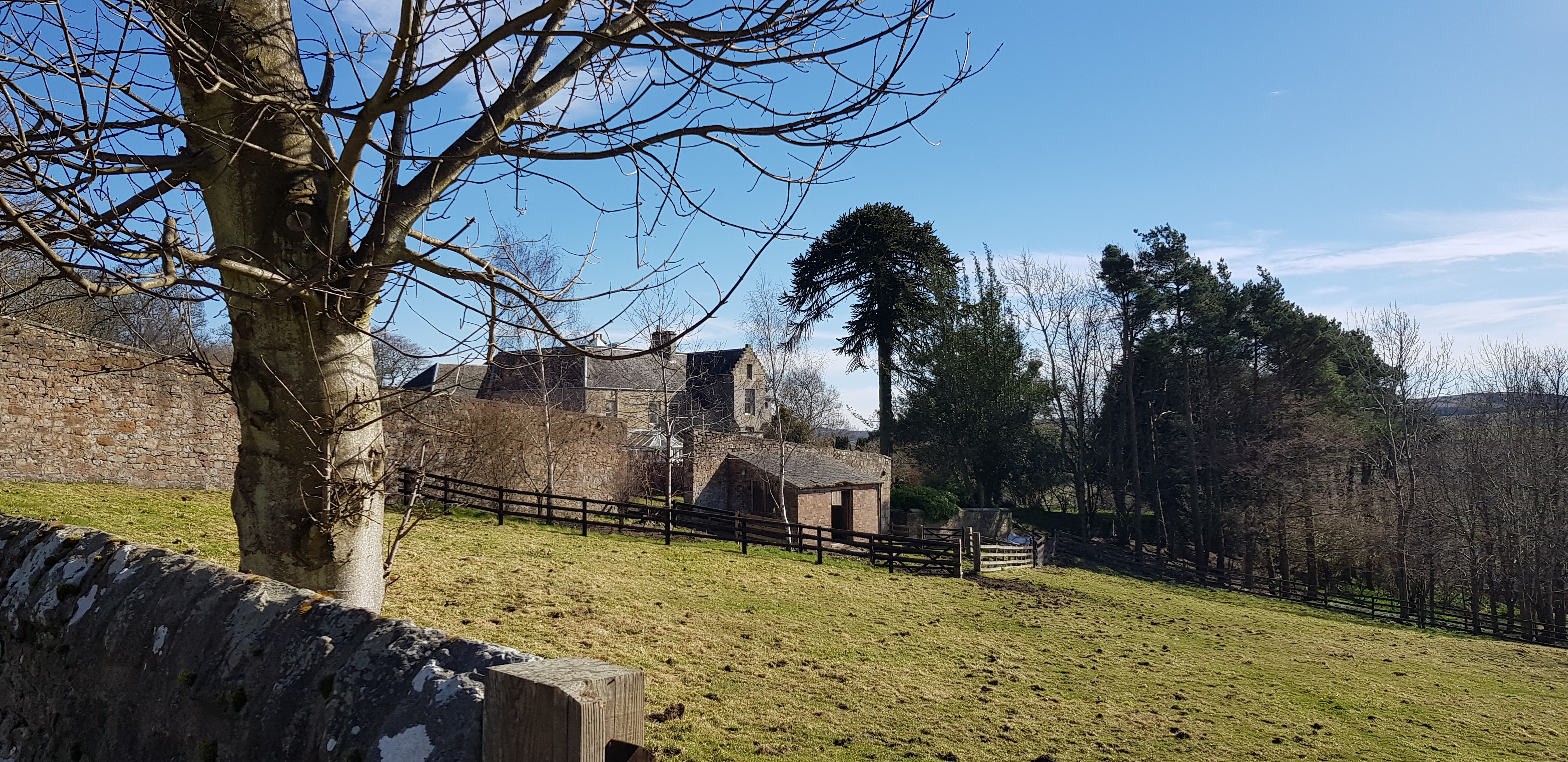
A few large houses dotted around, big walled garden too

The trig on Clatto (the smaller)

Nice clear numbers
George attempting his Parminder pose

Looking across to Lucklaw Hill and the quarry

Looking down on the road up to Clatto from Blebo Craigs
Drumcarrow Craig, 218m, 57m, 1.1km, 35mins

The way ahead to Drumcarrow Craig, summit up by the masts (again)

A few horses roaming around, this one happy to pose

This one wasn't interested in us, grass is much more exciting

A few more for the horsey lovers

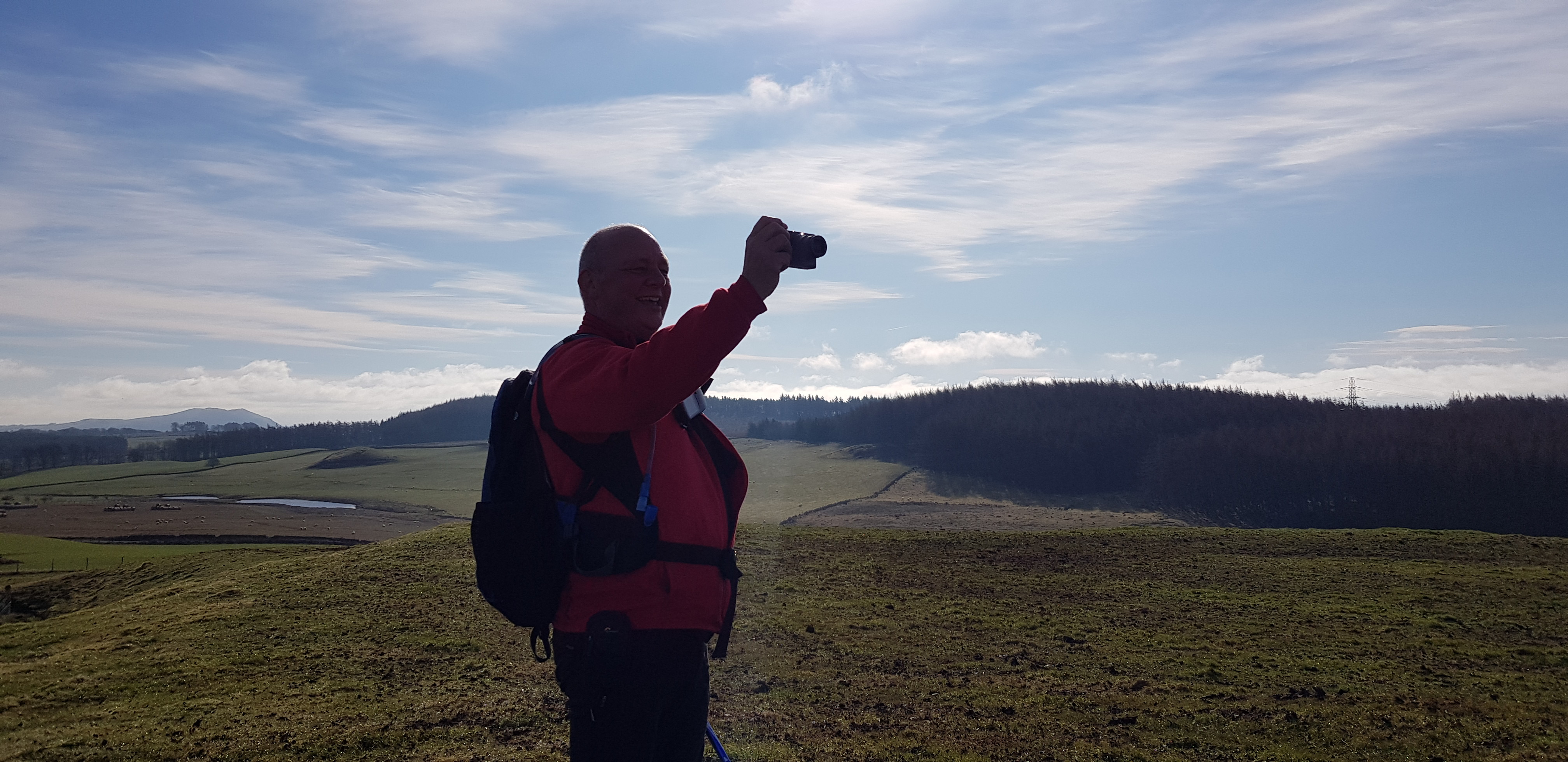
The summit of Clatto Hill, this meets Parminder's criteria as a 'real' mountain, rocky summit, cairn and a trig

The numbers

St Andrews in the background
 20210320_122800
 by
Martin F Beswick, on Flickr
Leuchars airfield with Tentsmuir Forest and beach in the background
Fleecefaulds Hill, 212m, 36m, 1.2km, 25mins

Nice daff's about to come into bloom at the start of our next walk

The way ahead, wouldn't be too long before we turned right into the forest

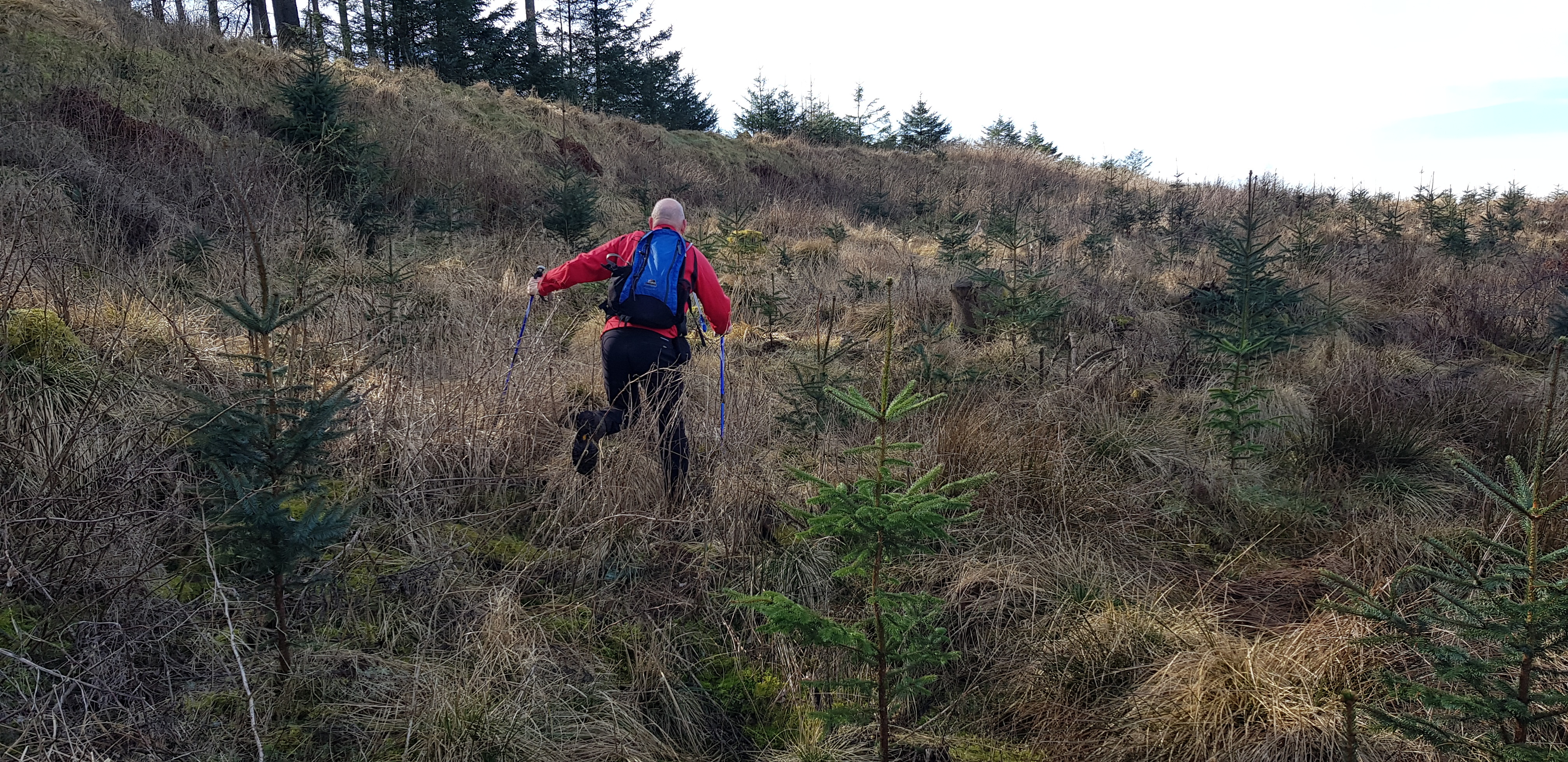
This doesn't look steep but it was. We really struggled as the ground was clay and we were unable to get a good grip with our boots - we kind of wish we had brought our spikes!!

The summit is through there, the fenced off bit on the left we think is for pheasants

Not sure what the corrugated sheets are for - shelter, breeding?

New form of headwear. Feeders

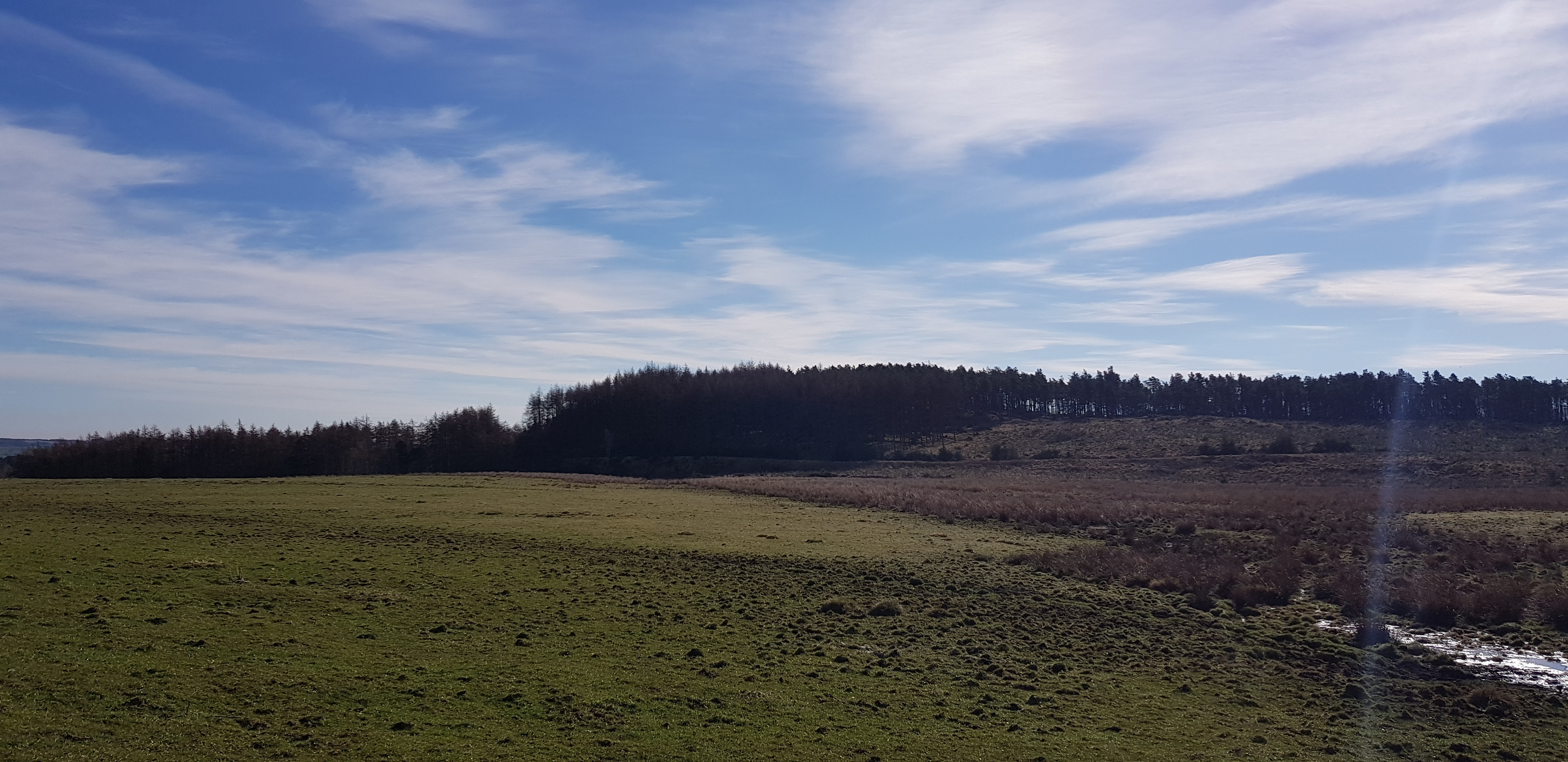
The summit area of Fleecefaulds, yet another "woody" summit

Our descent route
My descent route looking back, George opted to try a slightly different one
Caskerdo Hill, 202m, 45m of ascent, 1.5km, 25mins

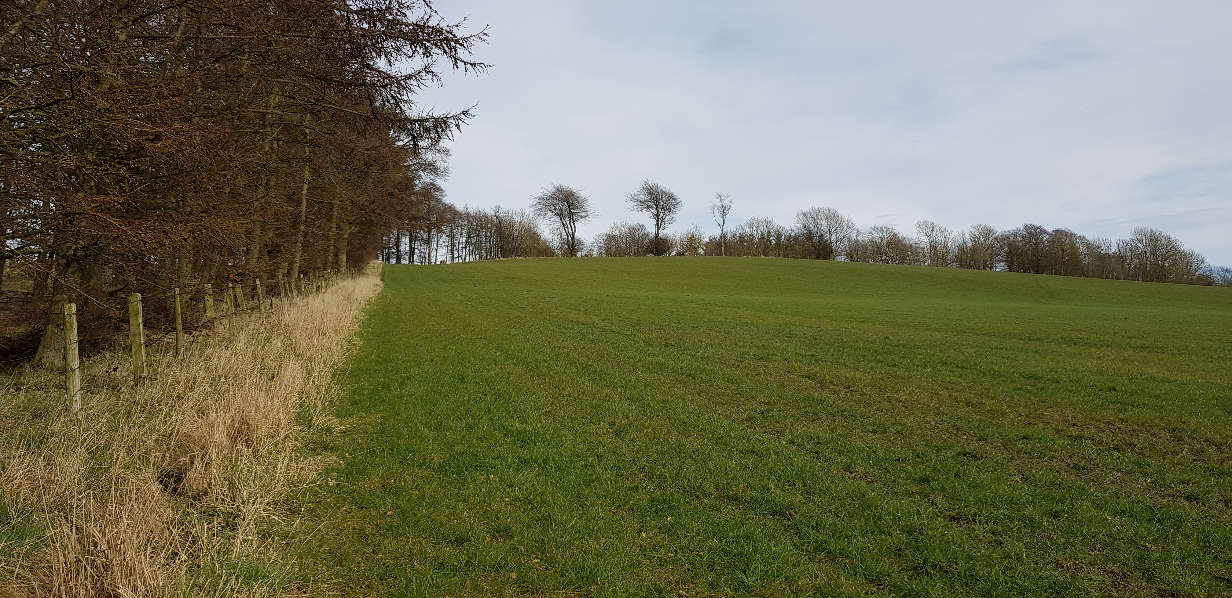
A nice wide bit of unploughed field for us to walk on

Looking back, we walked in the tractor marks on the field, George taking a photo of the summit in the distance
Looking back
The summit is between the 2 trees in the middle of the photo

Looking back again
[code][/code]

Phot from the summit of Caskerdo

Big house on the left has it's own tennis court that doesn't look like it is used very often
Pilmuir Knock, 100m, 40m of ascent, 1km, 20mins 488m 15.2km 315mins

The summit is in the forest to the right of the photo
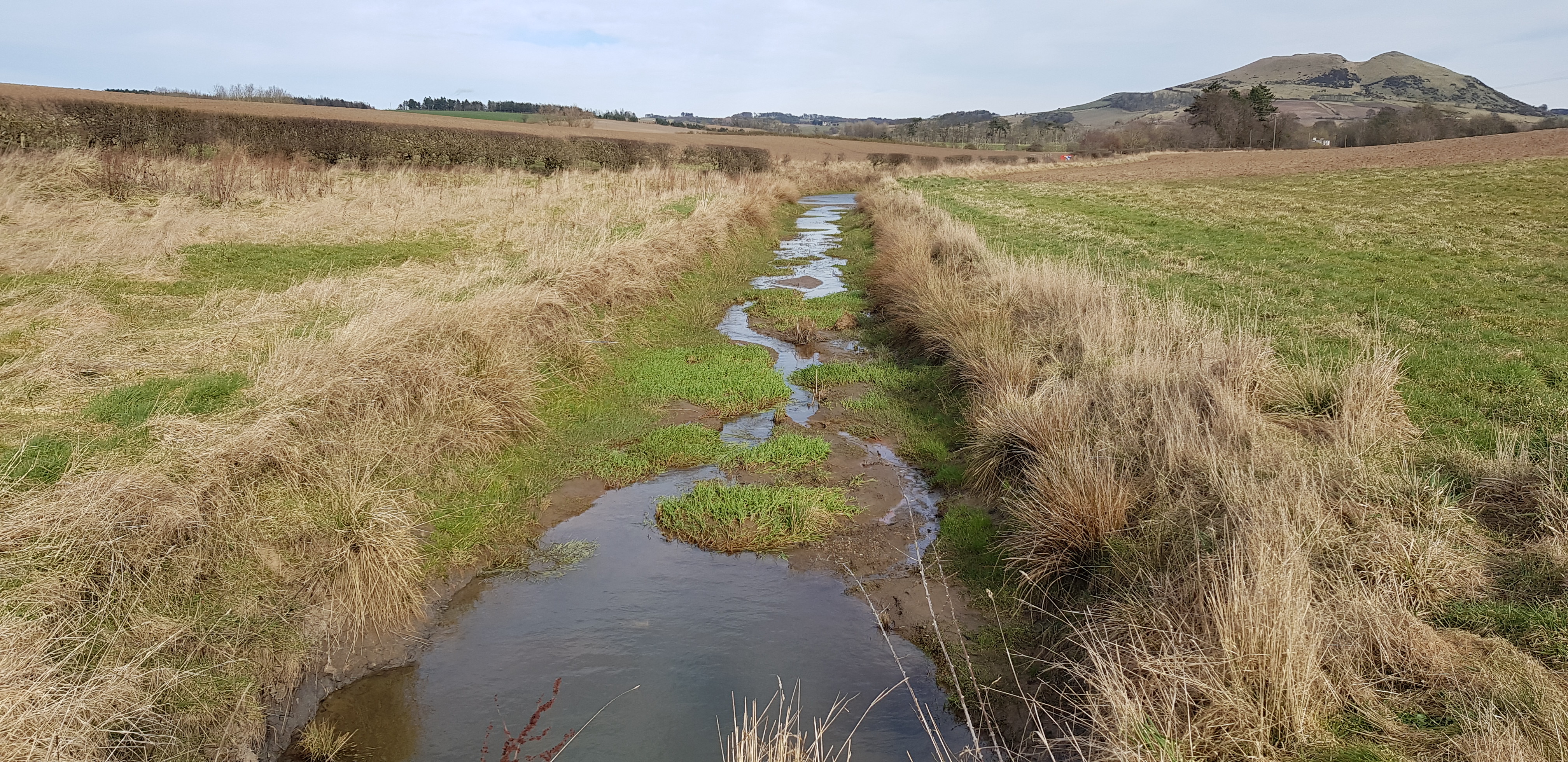
A little burn to cross (by a bridge), Largo Law in the background

In the forest now

Badger sett?

Shell Bay, Elie

Largo Law again

Summit area of Pilmuir Knock
Another very enjoyable and successful day, almost summer like. This little haul leaves us with 7 hills on the mainland left with 3 in the Forth that will have to wait until the restrictions are eased.
Once we have completed all the Fife Tumps I will post a full report, listing all the hills with maps.
