free to be able to rate and comment on reports (as well as access 1:25000 mapping).
This was our final outing in the Kingdom of Fife all the mainland Tumps have been visited, however to fully complete the job we will need to get a boat into the Forth to tackle Inchcolm, Inchkeith & Isle of May. Once lockdown restrictions are eased we will assess our options and I suspect the BIG hills will be calling and probably take priority.
The outing near the East Neuk of Fife turned out to a cracking day out and we even had our first Fife "river crossing", photo's to prove it.
The seven hills on today's menu were, Flagstaff Hill, Craig Rock, Dunicher Law, Pepper Knowe, Balcarres Craig, Kellie Law and Kincraig Hill.
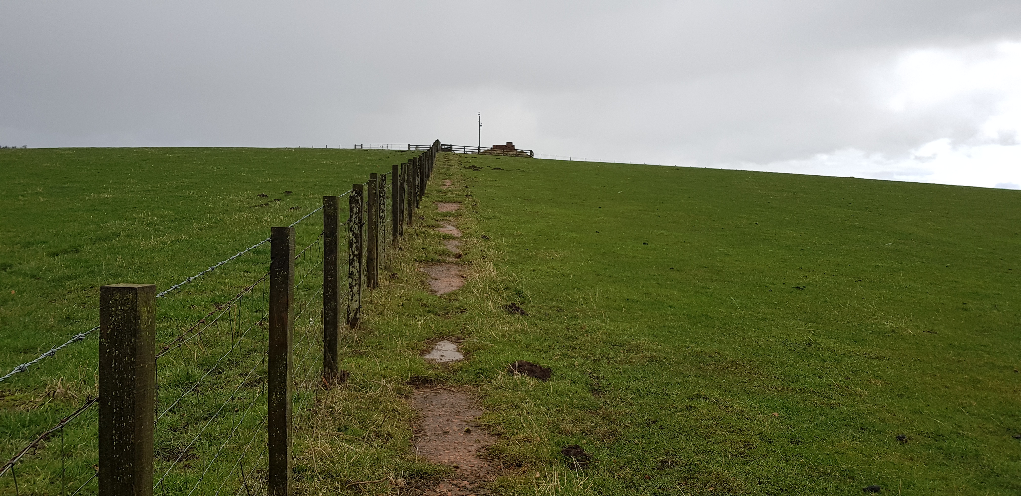
Flagstaff Hill, 214m, 55m of ascent, 2.6km, 35mins
The way ahead, summit to the left of the masts

Good track to start off, access to the masts

The first lambs we have seen this year

This wee one had lost it's mummy, it was making quite a racket

The view across to the masts from the summit of Flagstaff
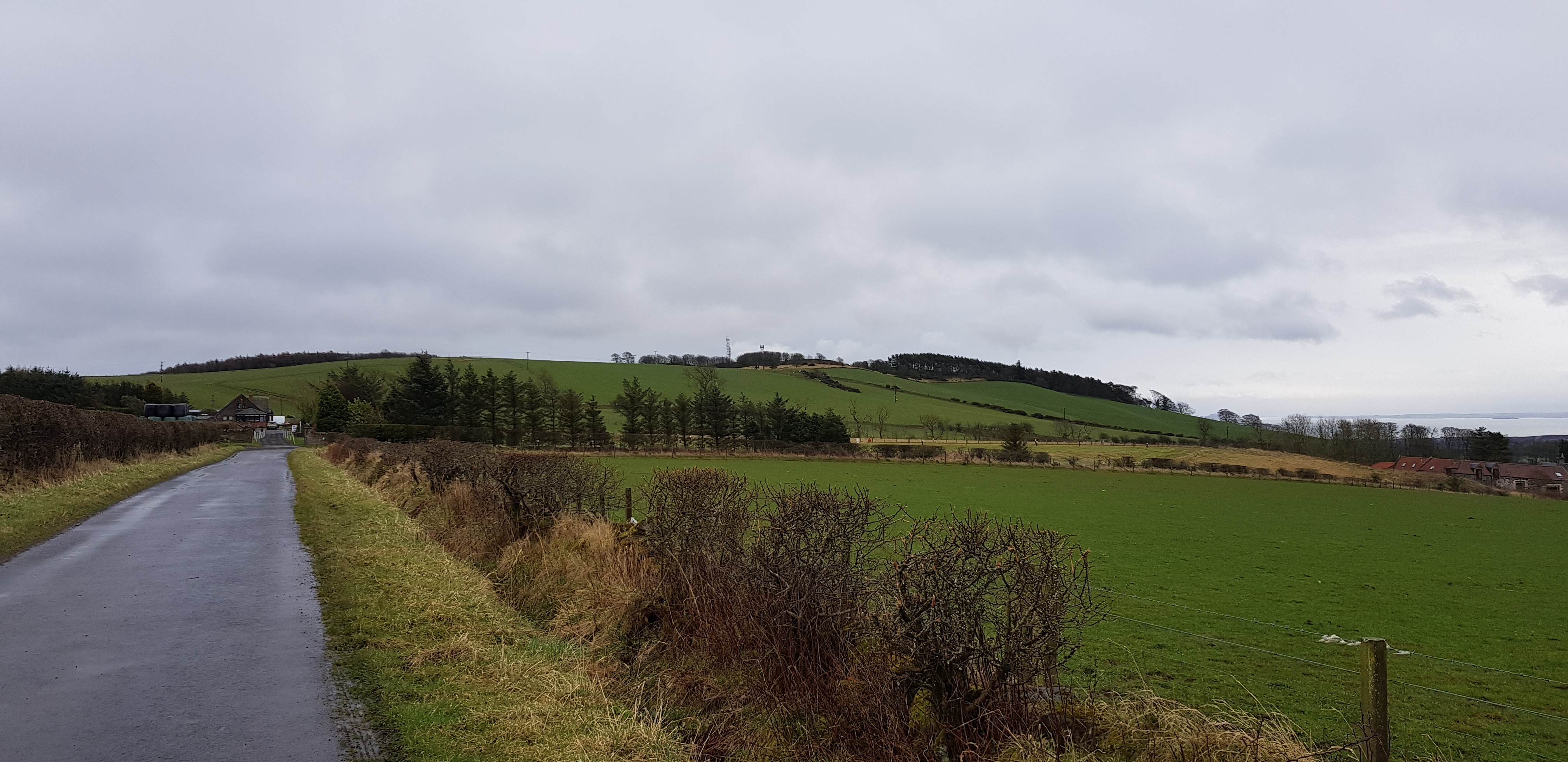
Craig Rock, 235m, 58m of ascent, 3km, 45mins

The start of the walk to Craig Rock, walking round the edge of ploughed fields

Craig Rock is the lump on the left, the bigger hill to the right is Largo Law
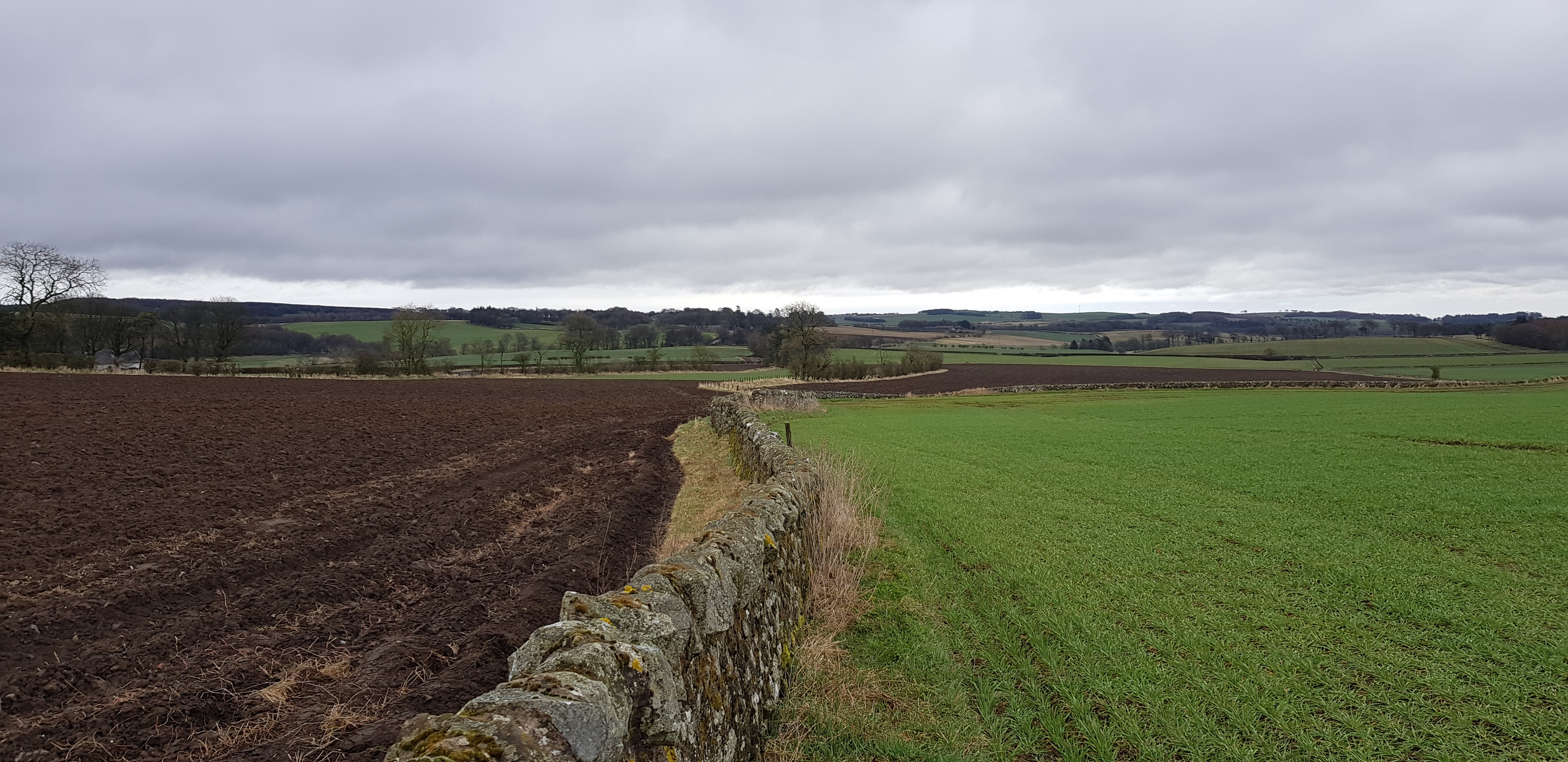
Looking back

Overnight rain

Looking SE, Bass Rock in the distance

Largo Law on the right, Leven in the distance

Looking south from the summit of Craig Rock
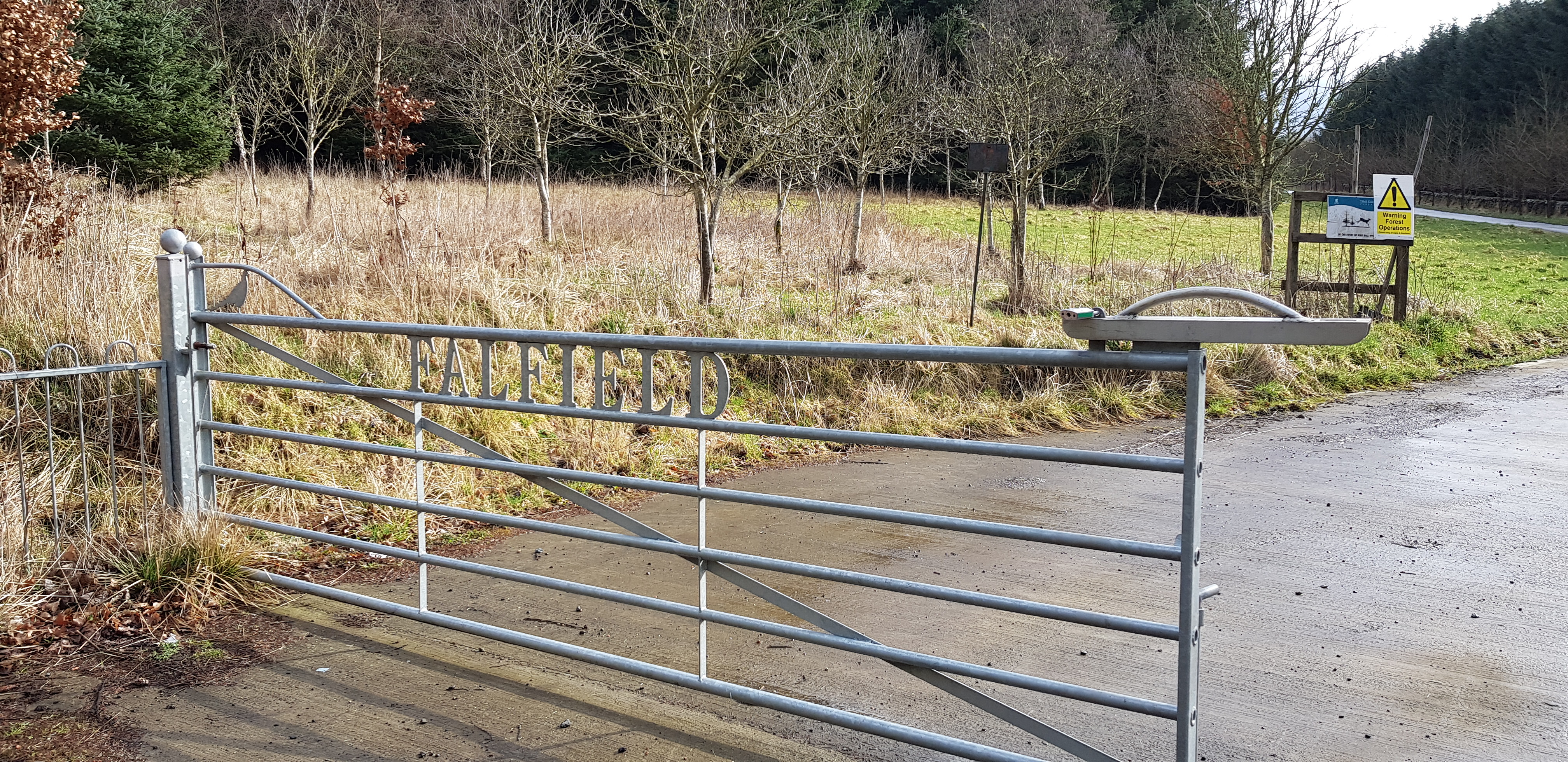
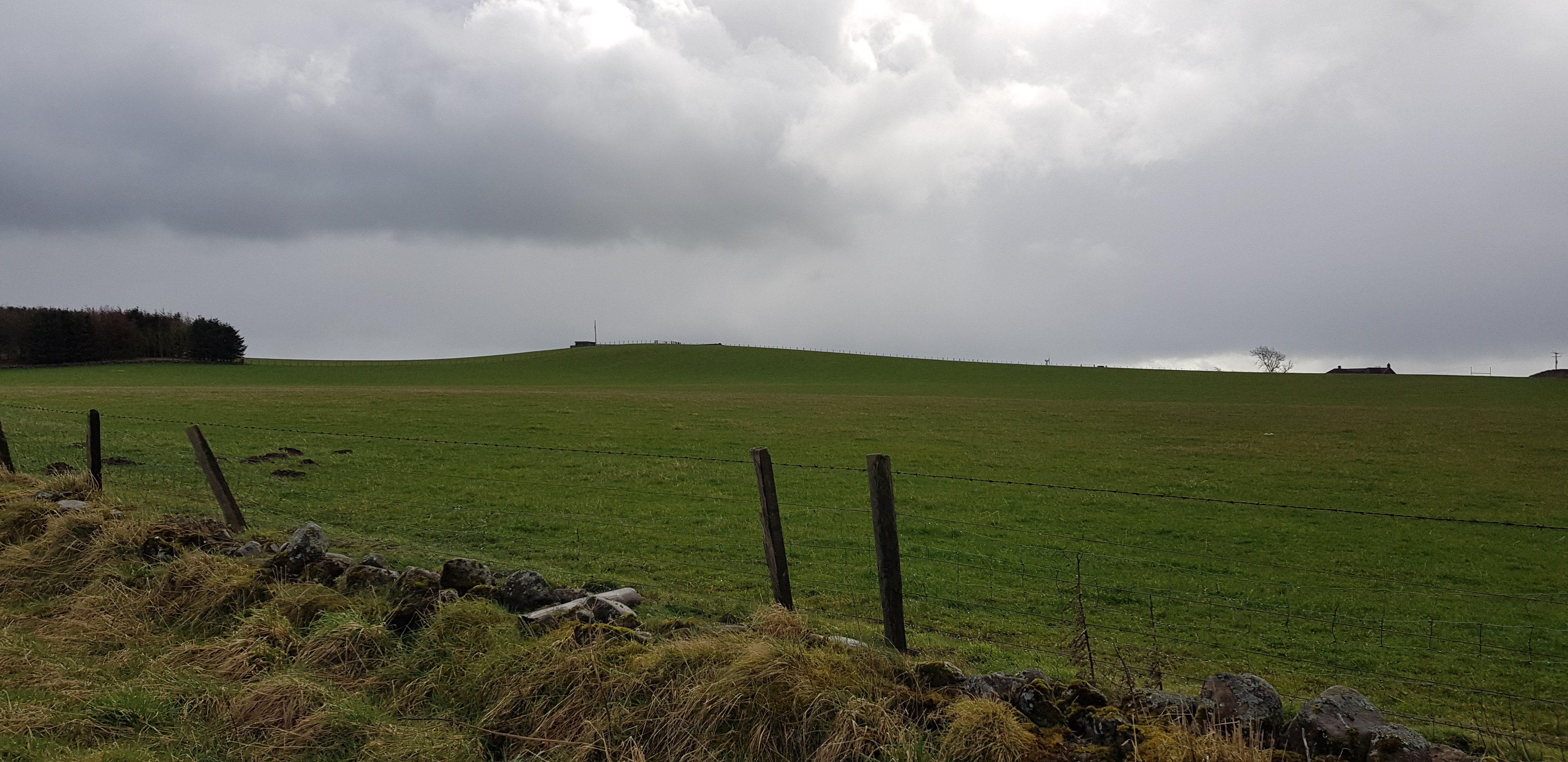
Dunicher Law, 240m, 33m of ascent, 1.6km, 30mins

The entrance to Falfield Bank Estate
Part 1 of the fancy entrance gate

Part 2

How many of us have a drive like this?

Telegraph poles recently replaced?
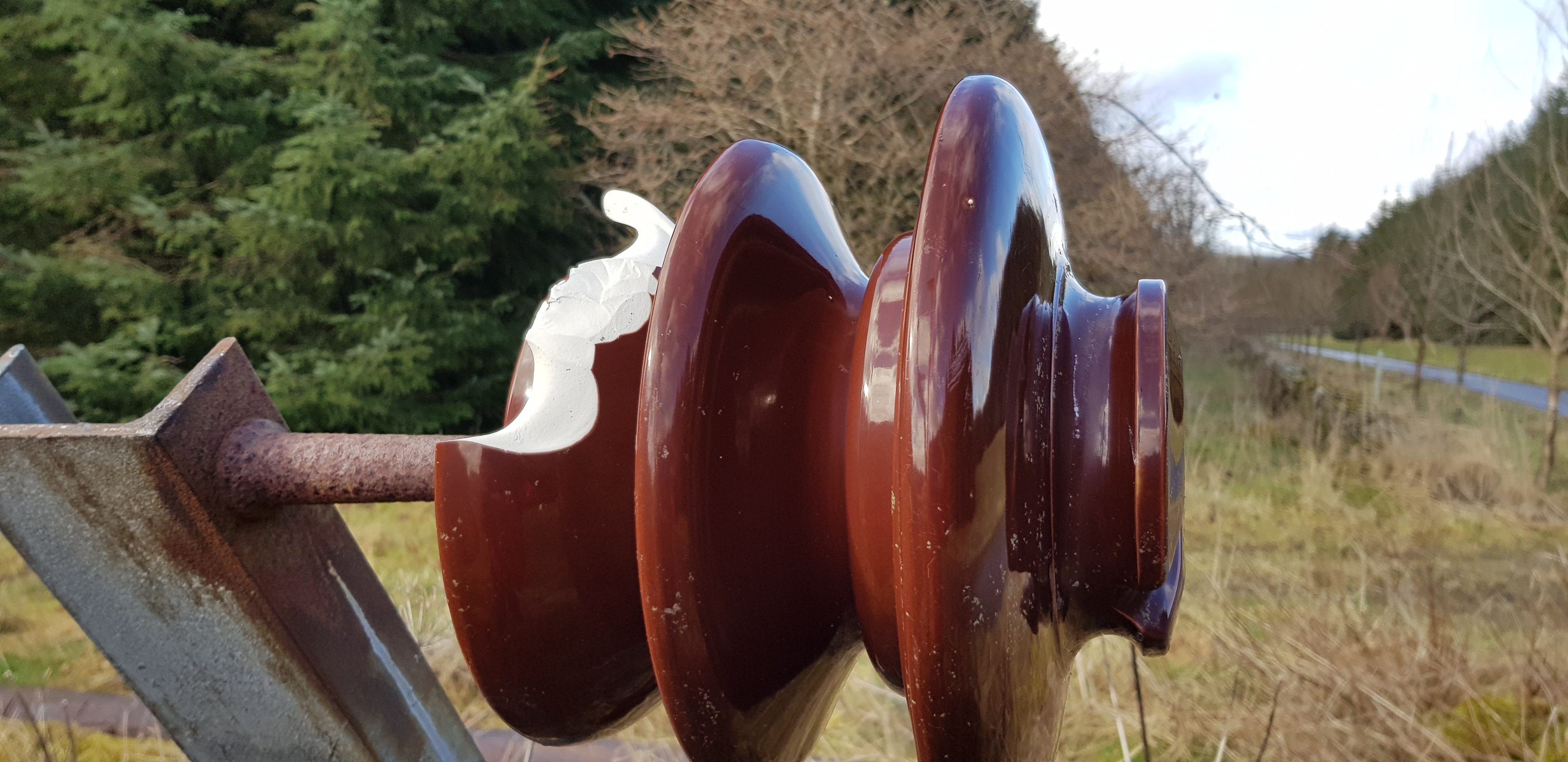
Close up of the ceramic insulators
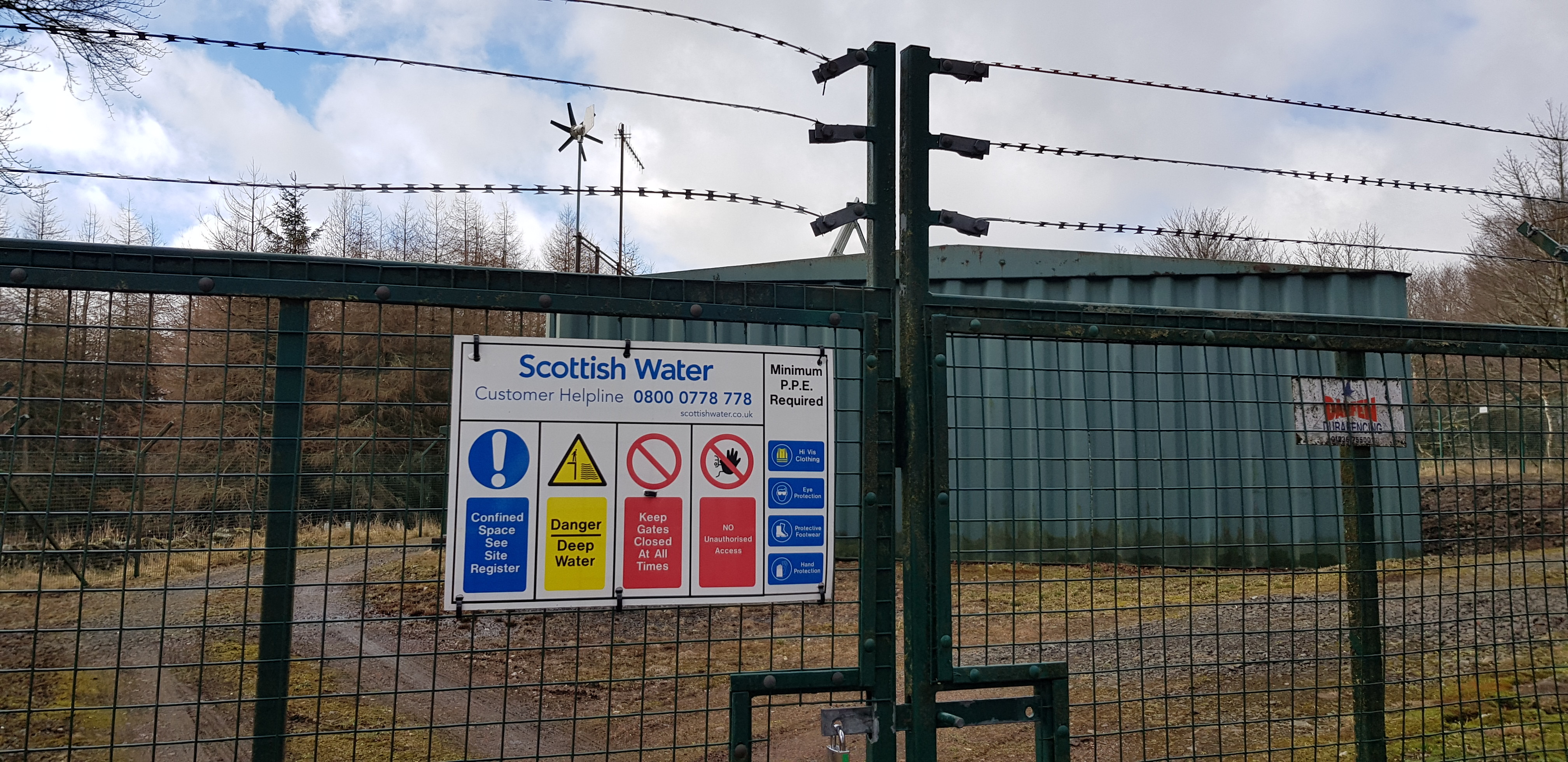
Not far from the summit, Scottish Water premises look fairly secure

The summit of Dunicher Law, yet another one in a forest
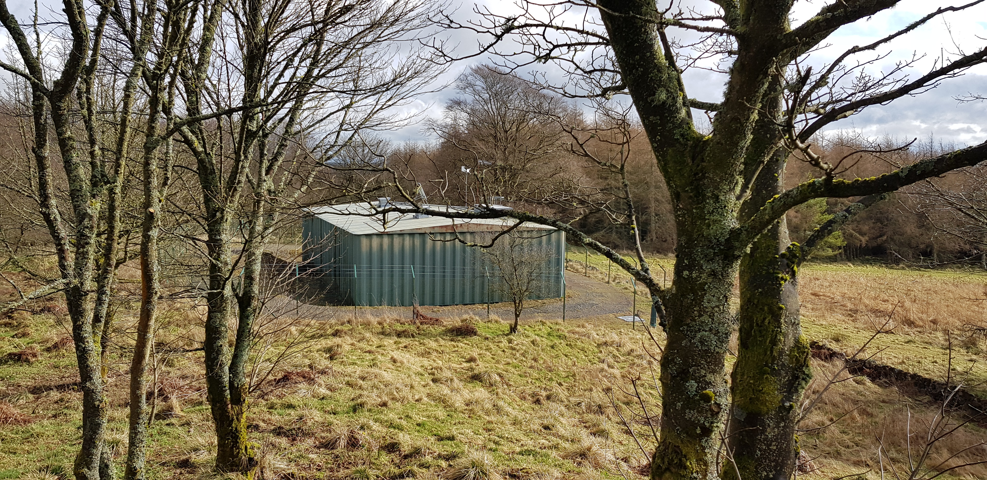
Looking down on the Scottish Water establishment

Interesting fungi - edible?

A few fungi photo's borrowed from George


We couldn't work out why this was here?

Some sort of weathered inscription
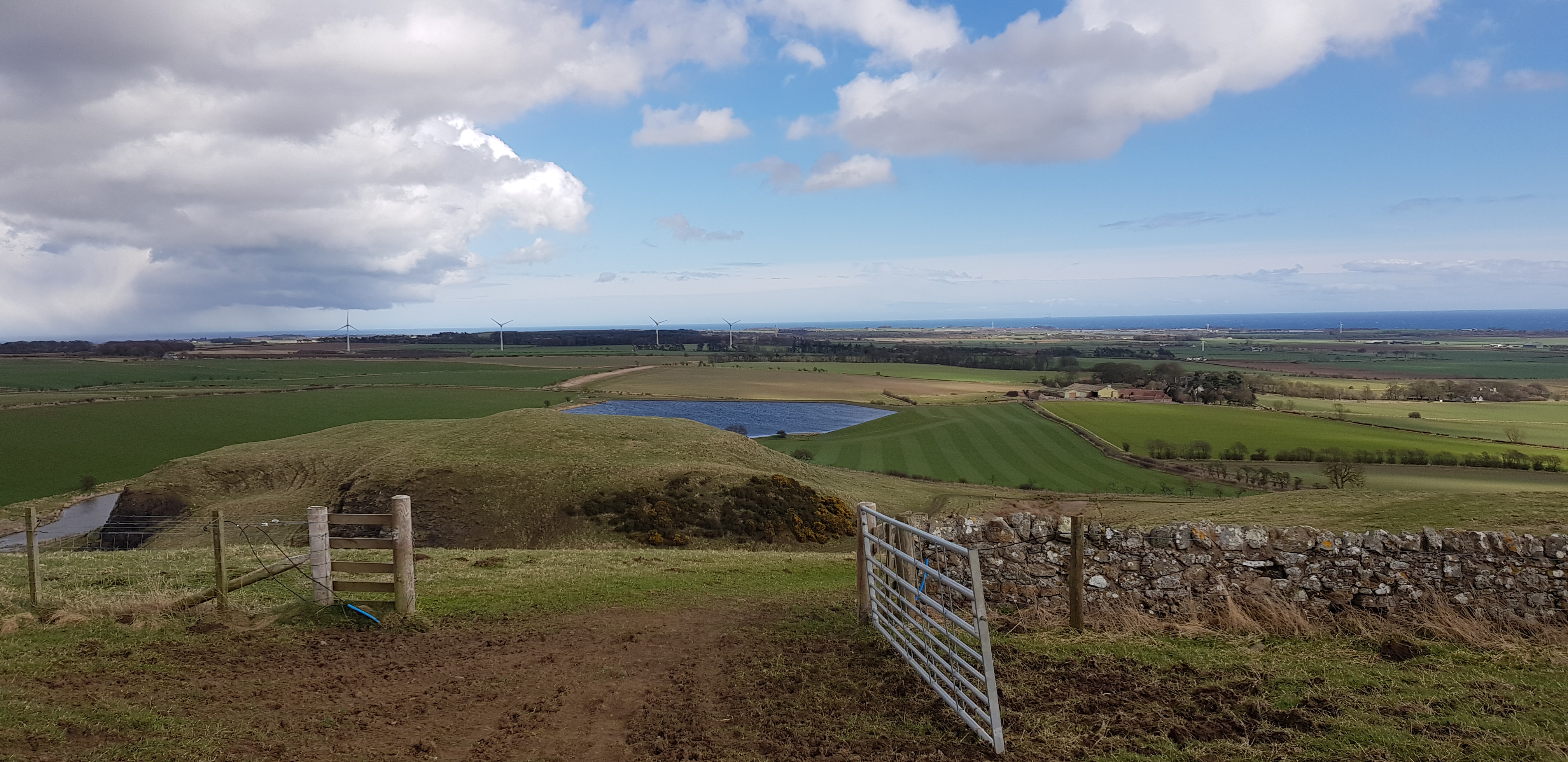
Pepper Knowe, 212m, 24m of ascent, 1.3km, 20mins
That is the summit up there, this taken from the car, so not exactly a monster of a hill
The way ahead, to the brow of the rise, then turn left
Summit straight ahead

George loving the brief shower

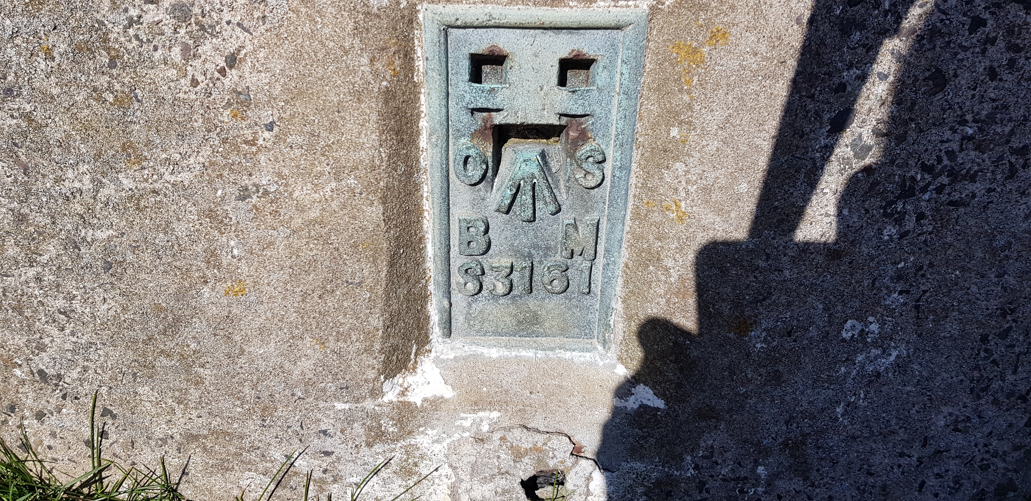
For the trig number collectors
Balcarres Craig, 123m, 112m of ascent, 3.4km, 1hr
This turned out to be the pick of the hills by a long way, in fact the best hill we have tackled for a while, we enjoyed it so much we even had our lunch on the summit.

We are heading straight ahead on the track

We would be turning right just before the bridge

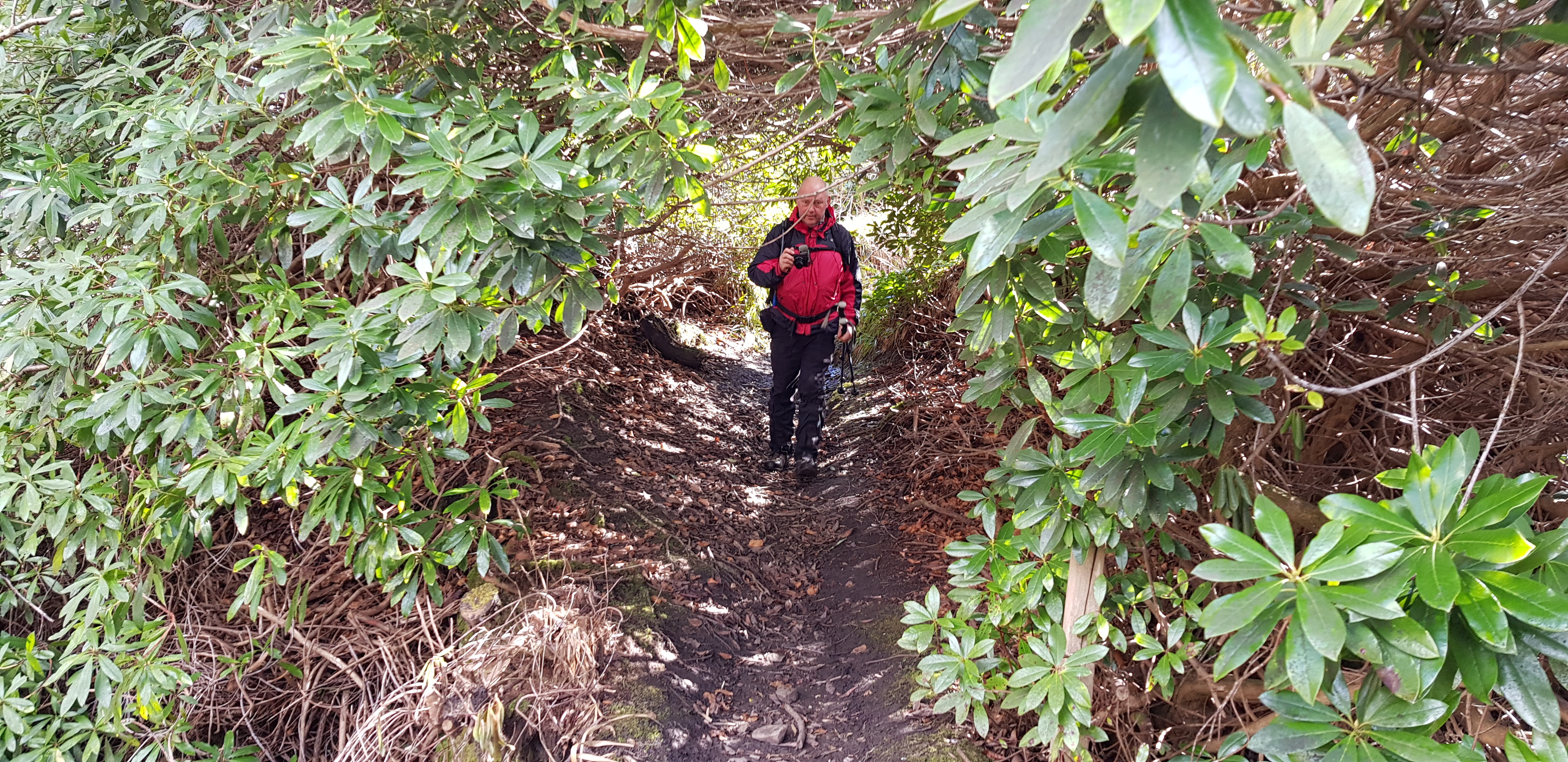
Lovely woodland walk

Flowering, well almost - rhododendrons

Daffodils just about to open up
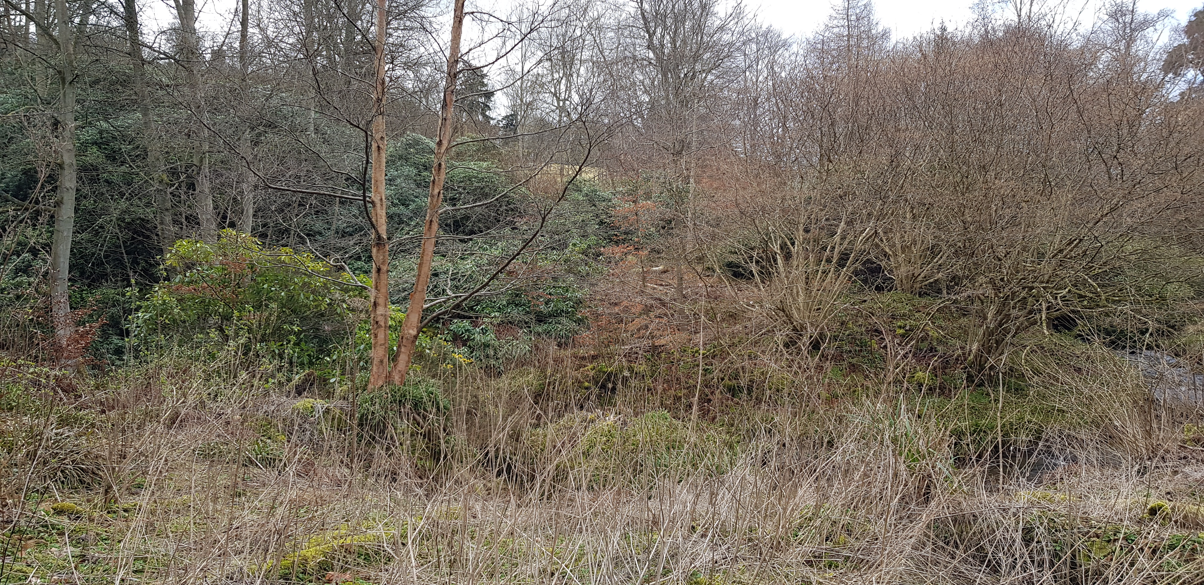
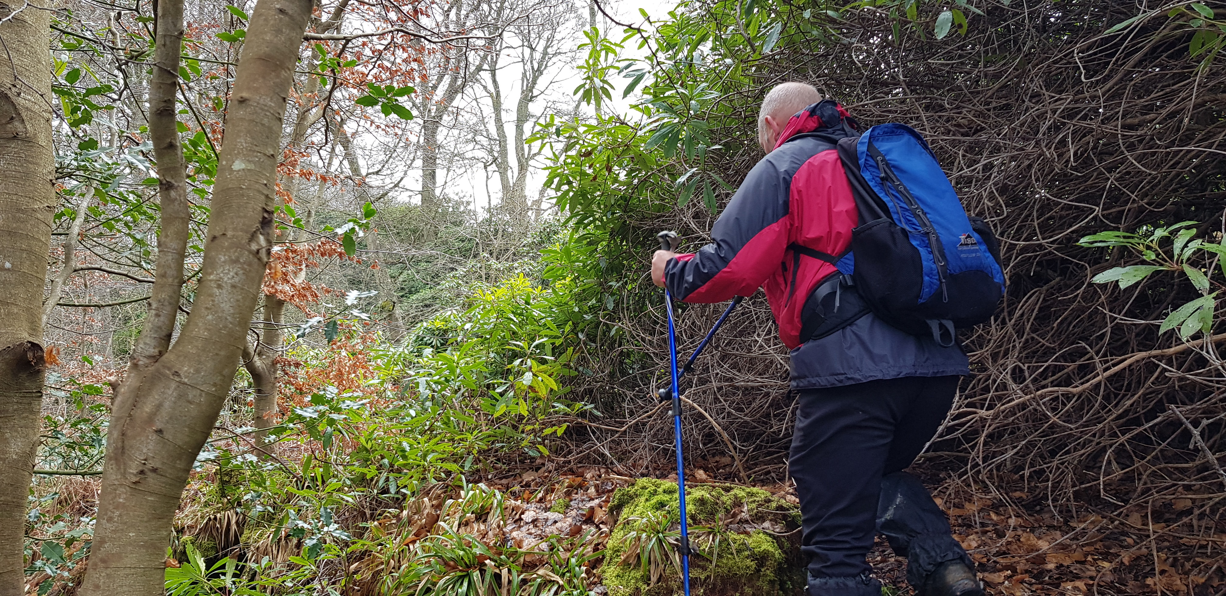
We want to get over there, firstly there is a stream and secondly the undergrowth doesn't look very inviting

And then some buildings appear, maybe we could cross the stream here?

Right George concentrate
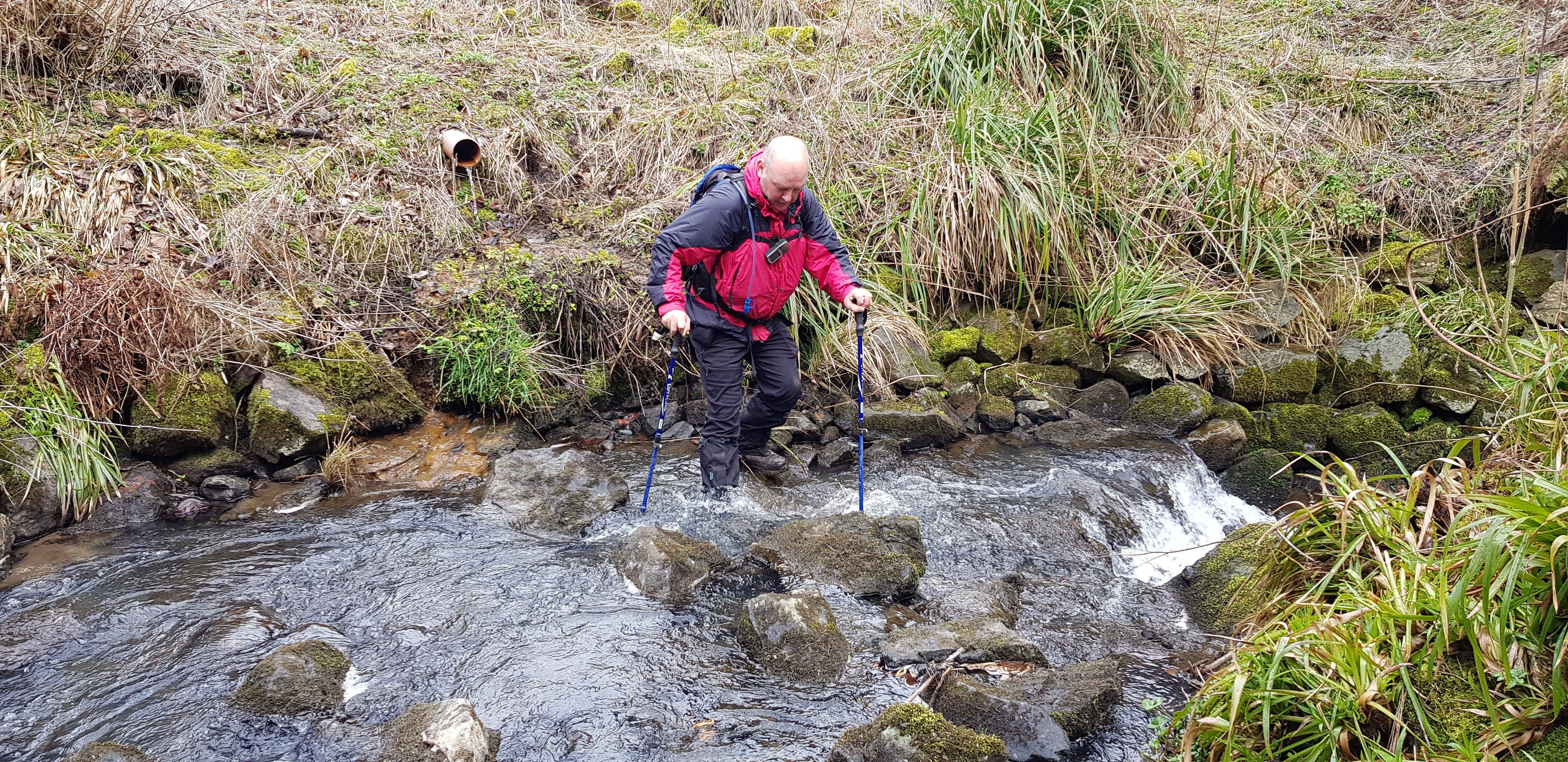
It was deeper than he thought, excellent test of his new(ish) boots and they passed with flying colours
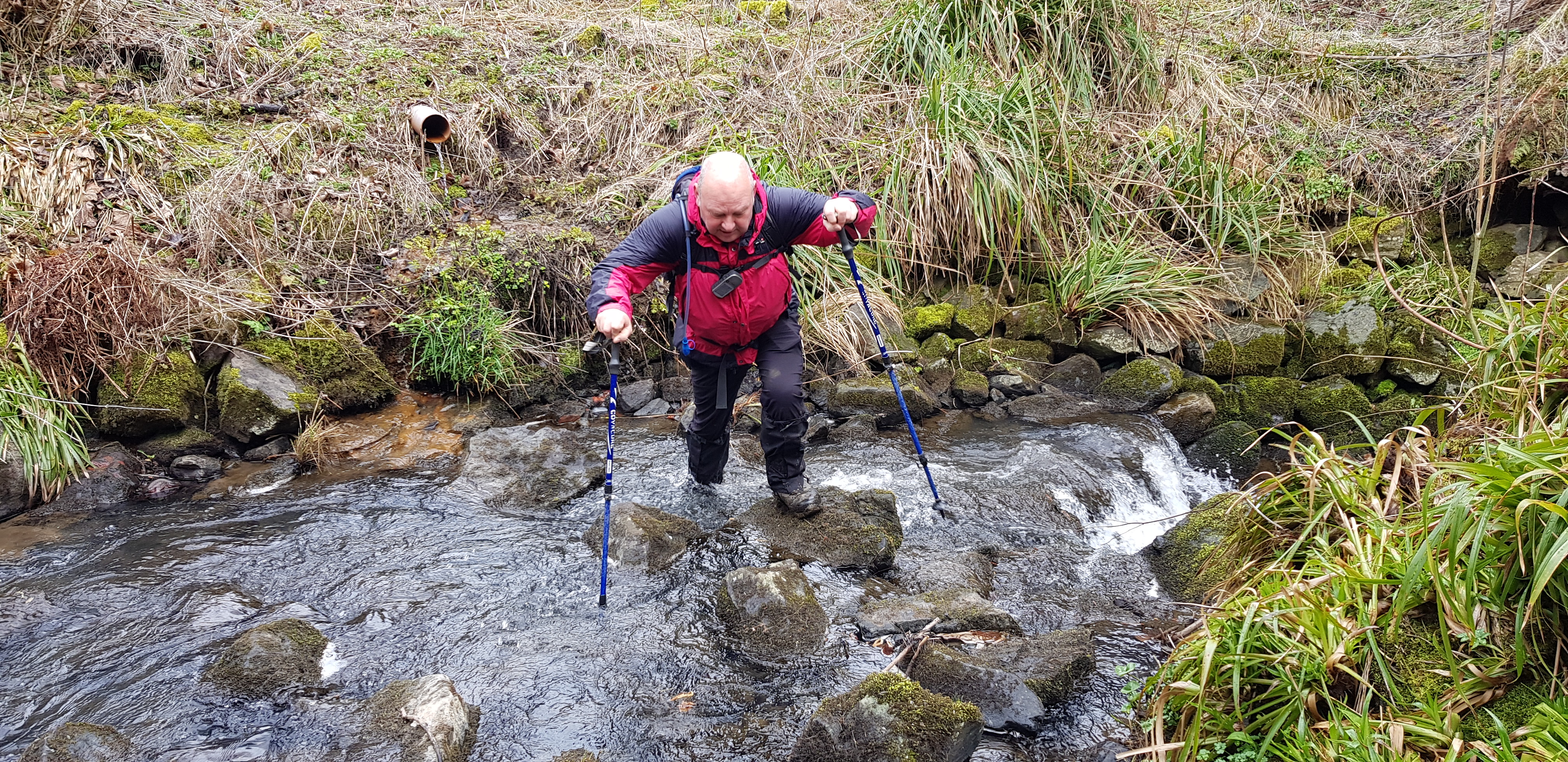
Nearly done it

And look what I spotted in amongst the undergrowth - we would never have seen it, we used it on our return
Believe it or not there is a path through this stuff

Just a tad overgrown, should have brought my secateurs

There you are told you there was a path
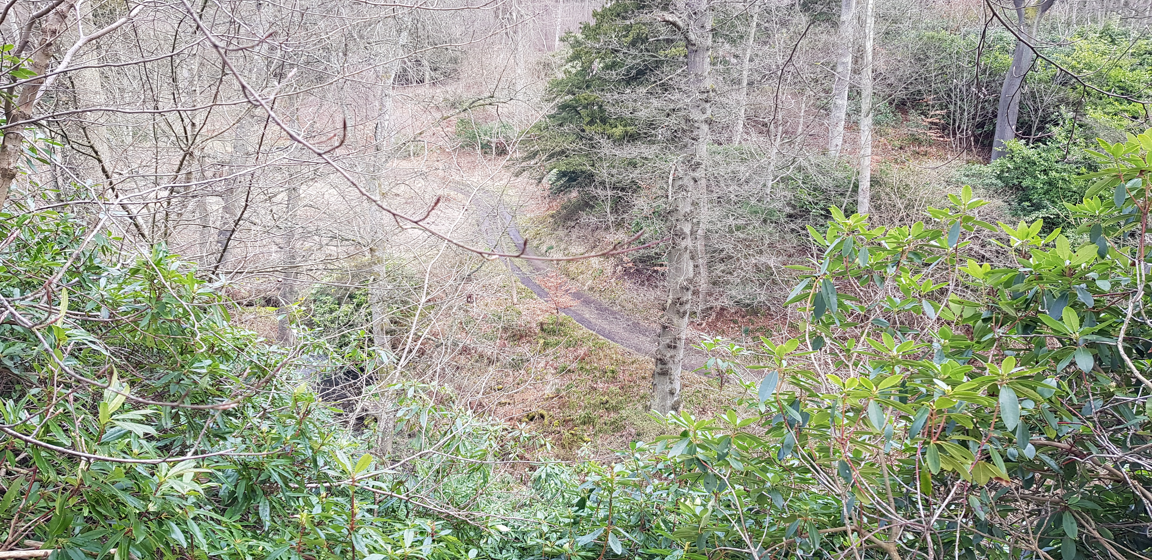
Looking down on the track we left to cross the stream

Rhododendrons obviously love it here

The next part takes us round the other side of the wall, not far to the summit now
Presume the wooden things over the wall are for horses to jump over?

Looking back

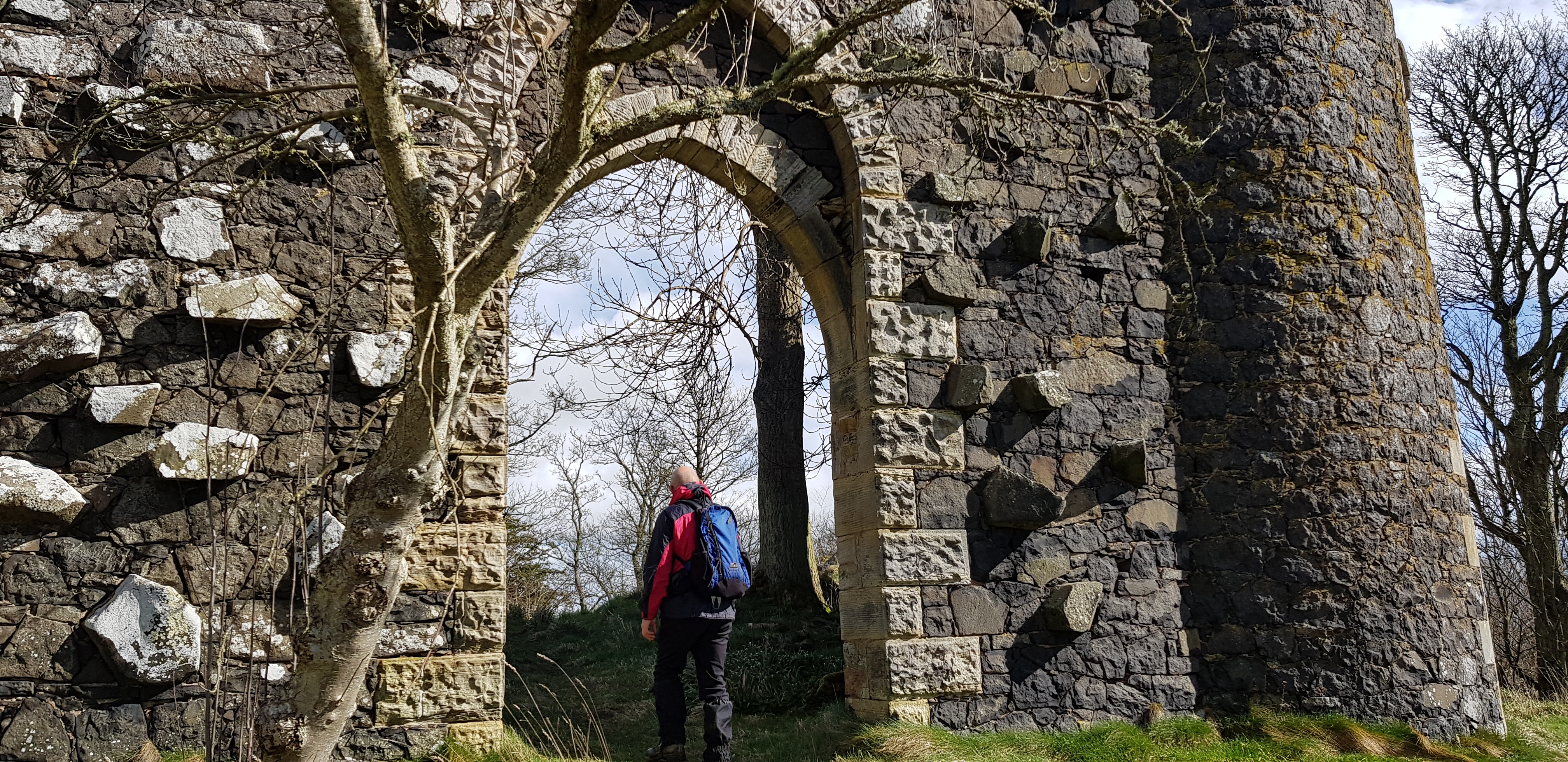
Here is the summit - Balcarres Craig Folly
After a bit of research we found out that this is about 200 years old, never had walls or a roof.

Taken from inside the structure

Door obviously not open to the general public
We came to the conclusion that the stones protruding out of the wall are for climbing up? The trouble is they don't go up very far

The tower, no windows on this side
Arty shot, had to stand on my tip toes, point my phone and hope for the best and for a change it worked

What is wrong with some people, absolutely pathetic

We spotted this wee humble abode, George took this photo

Heading back now - across the bridge

Time to duck
Serious face

Looking down the stream

We suspect this building was a mill of some sort, the bolts were probably for a water wheel

Buildings used for storage
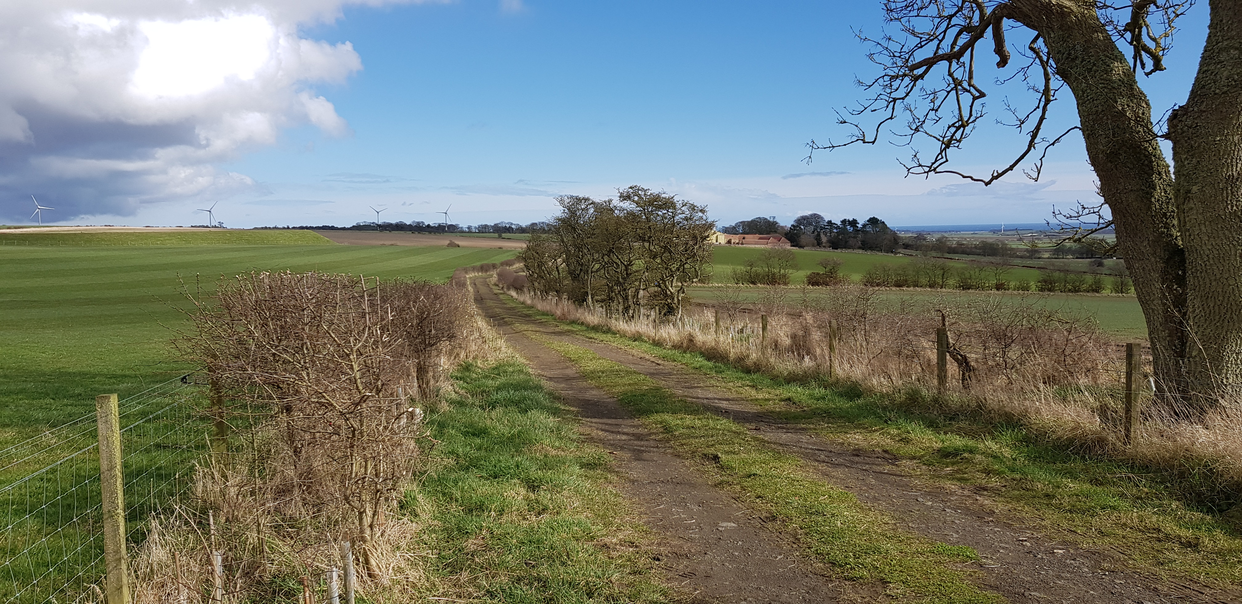
Kellie Law, 184m, 82m of ascent, 2.4km, 35mins
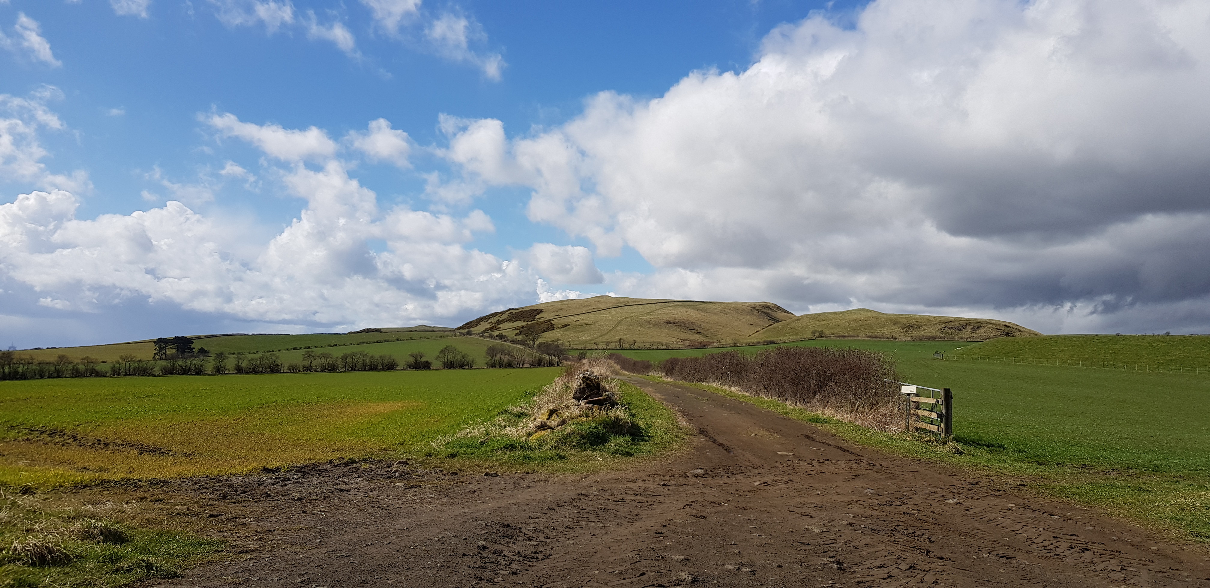
The way ahead, Kellie Law in the distance

One for the horse lovers

A bit of info on hedges
Looking back

Info on cows now
Looking back - east

Looking SE

Summit just up there

Next trig number

George trying to memorise the trig number

This is how the professionals take a photo when you don't have a tripod

This what George was taking a photo of, I saw it in the distance and thought it looked like another ruin
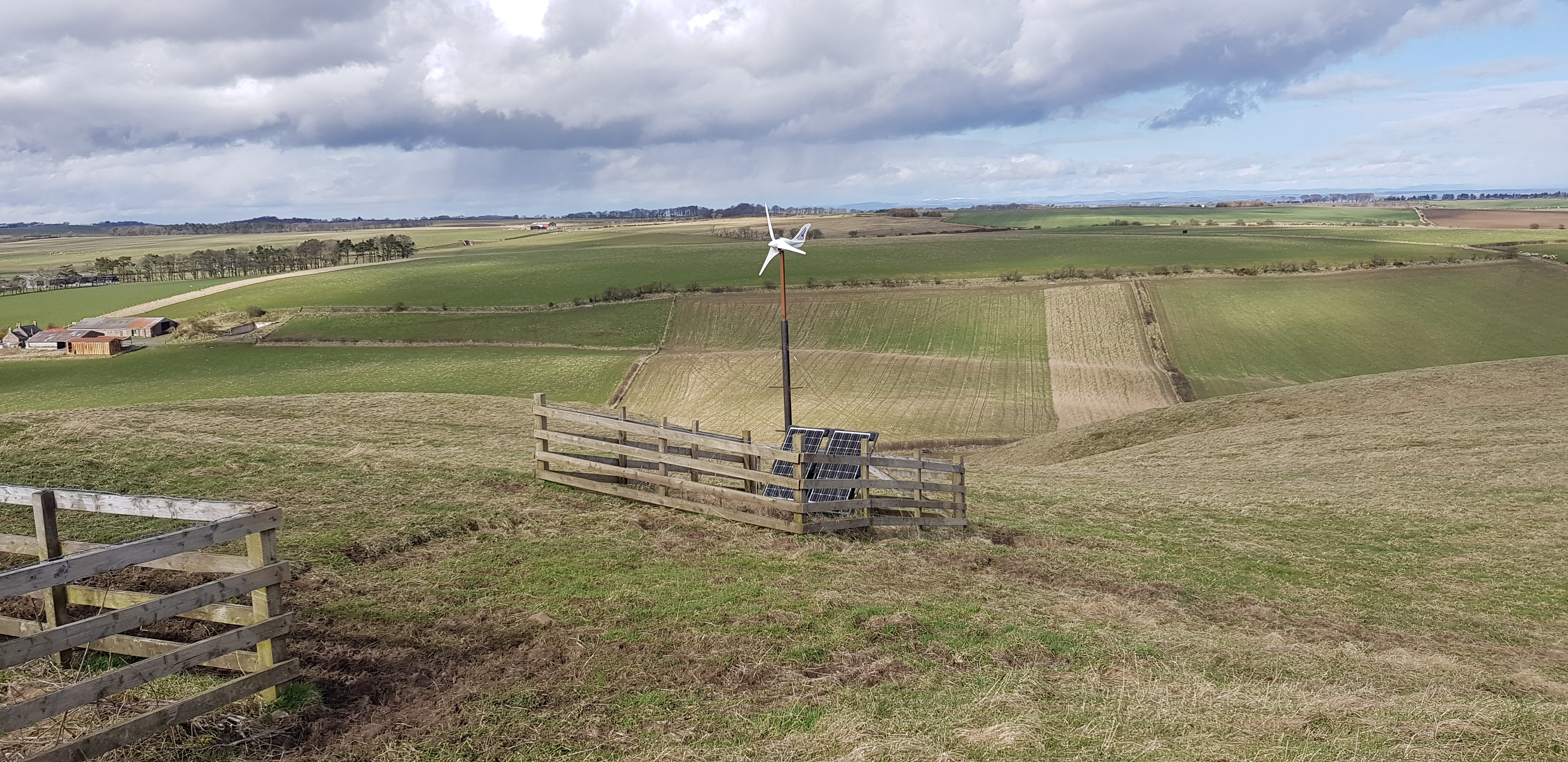
The little wind machine was fairly whizzing round

Video taken on the summit of Kellie Law
In the Forth

Bass Rock zoomed by George
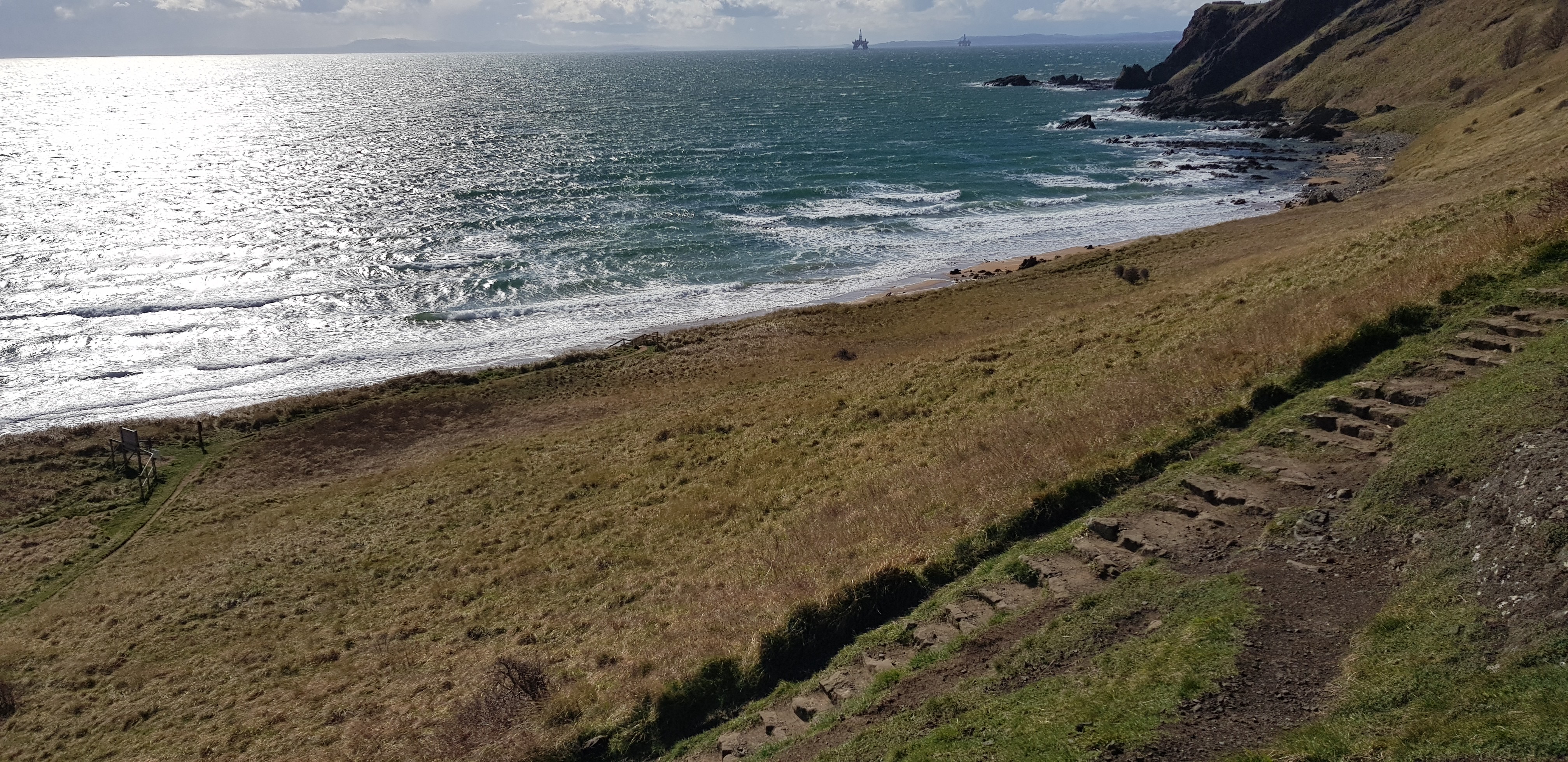
Kincraig Hill, 65m, 89m of ascent, 3.3km, 45mins

Summit of Kincraig is on the cliffs in the distance

A bit blowy for a game of golf

The way ahead keeping off the links golf course

Another of George's photo's - Isle of May

A bit of going up very soon

Evelyn's bench, great view
Plenty of steps still to ascend

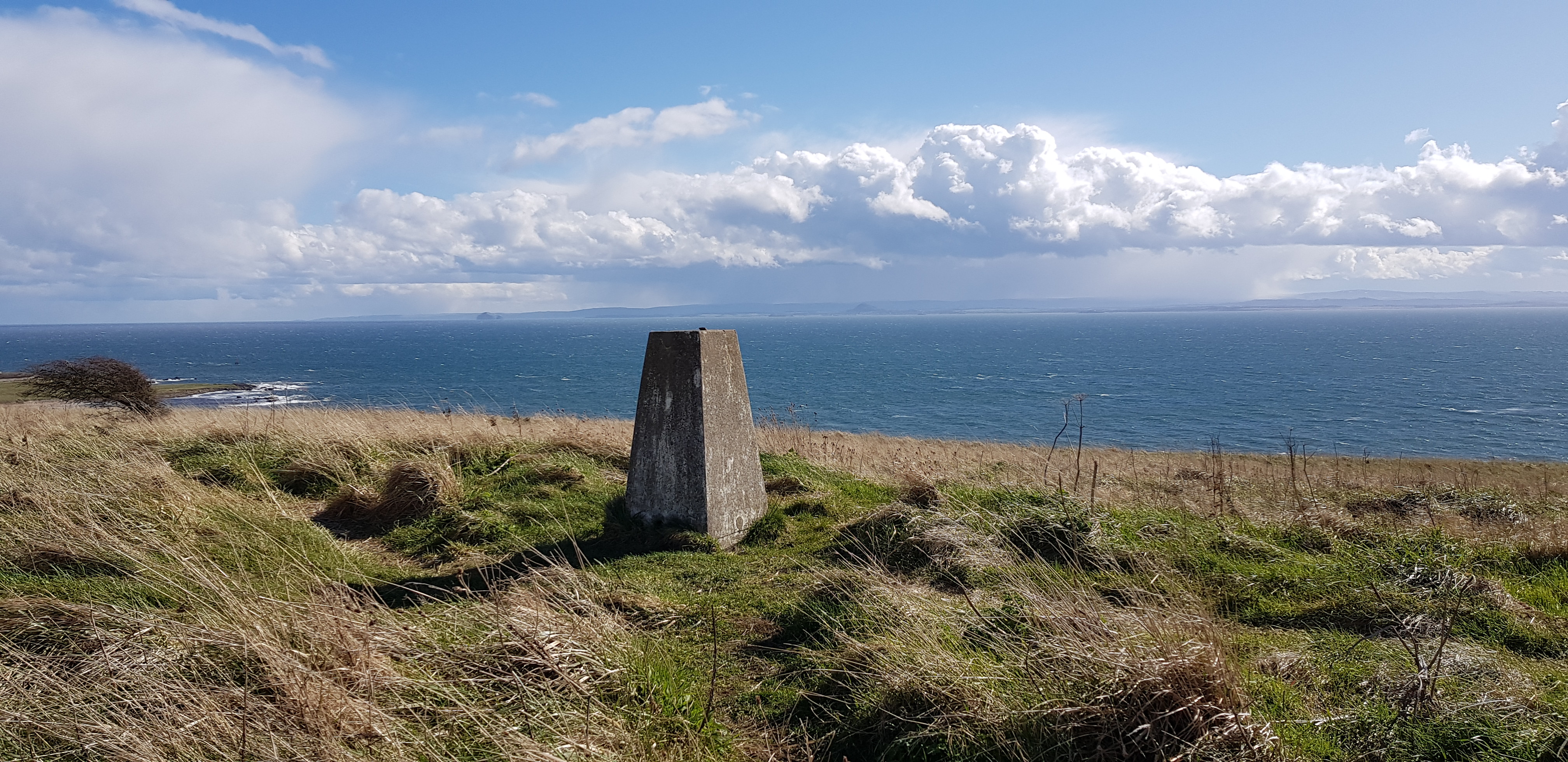
The trig can be seen now

Looking down on the beach etc
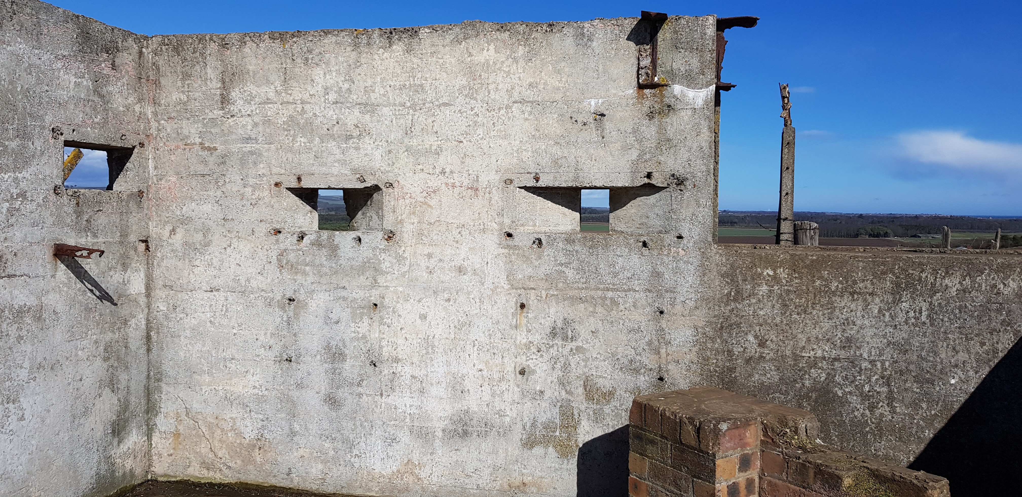
Inside one of the concrete bunkers from the Second World War

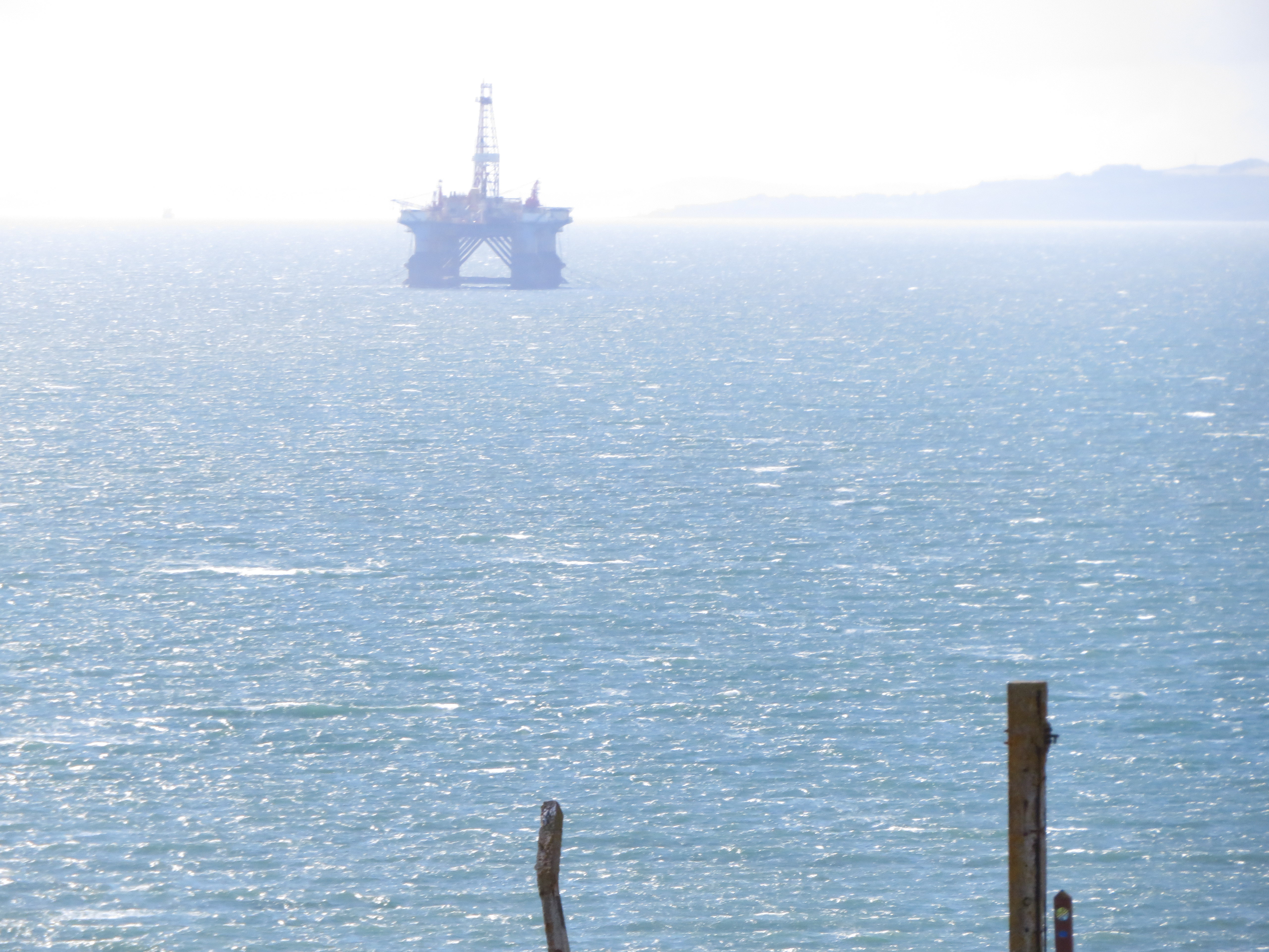
Arty shot of an oil rig

Shell Bay caravan site
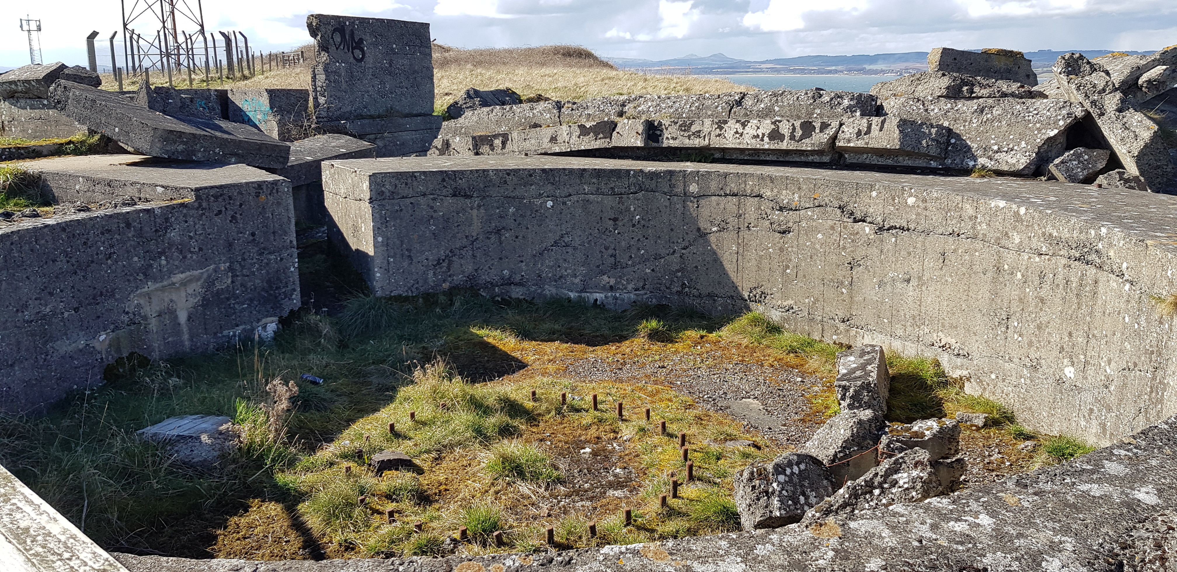
Old gun turret?
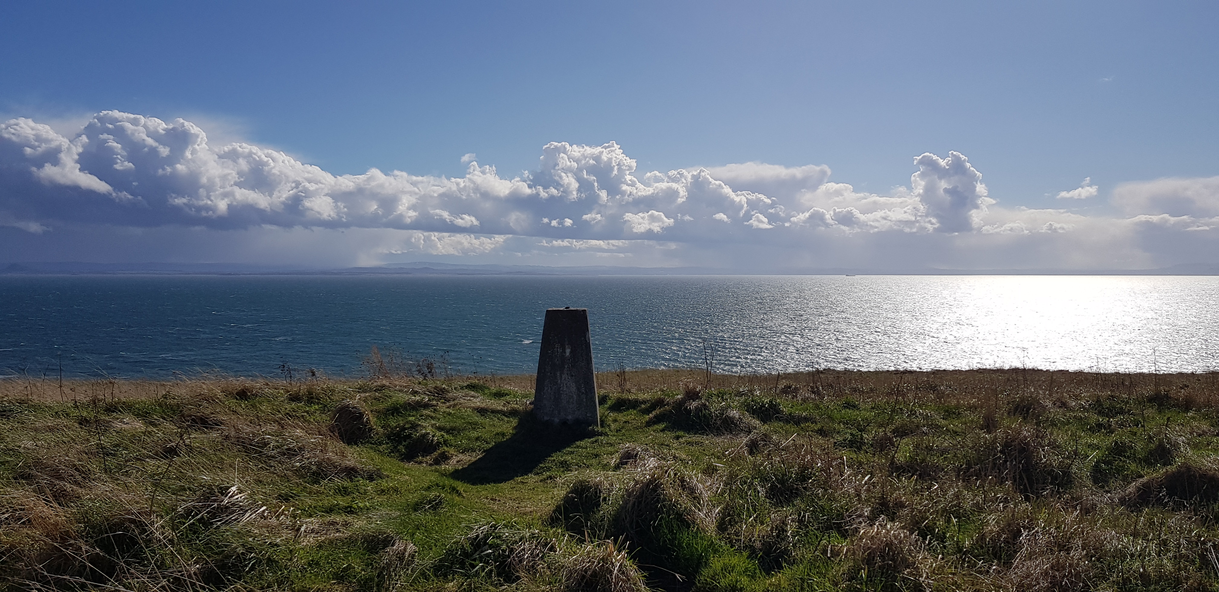
The trig looking south
Looking towards Bass Rock and North Berwick
[url=https://flic.kr/p/2kPdnFQ]

Looking down towards Earlsferry where we started from
Trig number

Nice shot of the beach from on high
Here is the list in the order that we did them, hopefully 109, I haven't counted them so fingers crossed:
Ormiston Hill, 236m
Lumbennie Hill, 284m
Bandrum, 225m
Saline Hill, 359m
Easter Cairn, 355m
Knockhill, 364m
Cult Hill, 264m
Outh Hill, 324m
Park Hill, 339m
Georgeton Hills, 349m
Wether Hill, 335m
The Inneans, 336m
St Ninians East, 181m
St Ninians West, 171m
Lathalmond Hill, 207m
Craigluscar Hill, 228m
East Hill, 209m
Scaur Hill, 309m
Peat Hill, 100m
Righead Hill, 95m
Redwells Hill, 192m
Balcreggie Craig, 138m
Keir Brae, 139m
Hare Law, 145m
Albion Park, 169m
Craigbeath Hill, 181m
Tollie Hill, 159m
Hill of Beath, 240m
Bankhead of Raith, 164m
Cormie Hill, 158m
Grangehill, 118m
Stoneyhall Hill, 194m
Baspard Hill, 197m
Orrock Hill, 205m
Dunearn Hill, 223.6m
Montquey Hill, 164m
Templehall Hill, 167m
Pilkham Hills, 194m
Cullaloe Hill, 219m
Ferry Hill, 71m
Castland Hill, 85m
Hillfield Crescent, 77m
Pinnel Hill, 82m
Letham Hill, 95m
Yellow Hill, 197m
Beins Law, 268m
Pitlour Hill, 275m
Black Hill, 213m
Woodheads Hill, 196m
Cowden Hill, 204m
Dunbog Hill, 216m
Balmeadow Hill, 196m
Cunnoquhie East Hill, 151m
Cunnoquhie West Hill, 199m
Lindores Hill, 178m
Glenduckie Hill, 218m
Higham Hill, 155m
Prospect Hill, 188m
Whirly Kips, 167m
Emily Hill, 154m
Starr Law, 164m
Green Craig, 189m
Black Craig, 203m
Tay Mount, 189m
Scurr Hill, 104m
St Fort Hill, 123m
Chester Hill, 107m
Hare Law, 111m
Craig Law, 112m
Knock Hill, 91m
Newton Hill, 144m
Shambleton Hill, 134m
Round Hill, 106m
Moonzie Hill, 138m
Colluthie Hill, 130m
Murdochcairnie Hill, 157m
Darklaw Hill, 150m
North Hill, 123m
Lucklaw Hill, 190m
Airdit Hill, 162m
Craigfoodie Hill, 159m
Craigsanquhar Hill, 159m
Forret Hill, 173m
Kedlock Hill, 163m
Myrecairnie Hill, 173m
Foodie Hill, 156m
Kilmaron Hill, 147m
Hill of Carslogie, 87m
Dalginch Hill, 137.5m
Hill of Kirkforthar, 157m
Down Law, 241m
Clatto Hill, 248m
Walton Hill, 188m
Hill of Tarvit, 211m
Clatto Hill, 168m
Drumcarrow Craig, 218m
Fleecefauld Hill, 212m
Caskerdo Hill, 202m
Pilmuir Knock, 100m
Flagstaff Hill, 214m
Craig Rock, 235m
Dunicher Law, 240m
Pepper Knowe, 212m
Balcarres Craig, 123m
Kellie Law, 184m
Kincraig Hill, 65m
The end of that journey took us to parts of Fife neither of us had ever been to and my lasting memory of the wee Fife hills will be fences, especially barbed wire fences. We have climbed over them, squeezed through them and also rolled under them. Gorse was another new experience and on one of our outings I was actually armed with a pair of secateurs, they acted as a deterrent as we didn't come across any problematic gorse.
The stats for anyone who is interested are about 200km, 7800m of ascent, like all hills they can be tackled in different directions. The research and planning for all outings is key and I found it was even more important, especially when you are probably on farmland. The GPS system on here has been vital, especially as it shows fences, tracks etc. All my routes were planned trying to avoid walking through farmyards and the like as well as taking advice from other walkers on another walking site.
What next I hear you ask, we will probably expand our horizon to 5 miles out with our local area, not too sure how many hills fall into that category. Finally a huge thanks to George for his company, the task would have been so much harder without you.
