free to be able to rate and comment on reports (as well as access 1:25000 mapping).
Now that we have finished off all the Fife Tumps we are allowed to visit, we decided to venture outwith Fife utilising the 5 mile limit we are allowed. Working out 5 miles from the Fife county boundary isn't easy as the the boundary is anything but a straight line. I assumed the 5 mile limit is "as the crow flies" and that is how the hills have been selected. I was surprised how many Tumps there are to the west of Fife - certainly enough to keep us going until the 'BIG ESCAPE'.
We started off by picking off the hills to the east of the M90 and then headed west.
Binn Hill and Pottie Hill had almost 400m of ascent between them, so that was quite a good little workout.
We did have an incident as we returned to the vehicles after completing Letham Hill, a male came marching out of a property (I presume Foresterseat). He was telling us in a forceful manner that we should not have been on his land as livestock are producing their young. We could have argued with him but that would have been pointless, we were only in one field and that didn't have any animals in at all. We apologised and that took the wind out of his sails and he said we should have asked for permission to walk in his back yard. I often wonder how anyone can ascertain which field belongs to which farm? One thing he was happy about was that we didn't have a dog with us.
Our faith in humanity was restored when we were trying to find a parking space near Birniehill, the lady of the house with the stables told us to park in the opening for her property, we were pleasantly surprised and it gave us something else to talk about.
Here are the hills listed in order:
Bramblebrae Hill
Letham Hill
Binn Hill
Pottie Hill
Birnie Hill
Temple Hill
Blair Hill
Springhall Hill
Bramblebrae Hill, 213m, 37m, 1.2km, 20mins
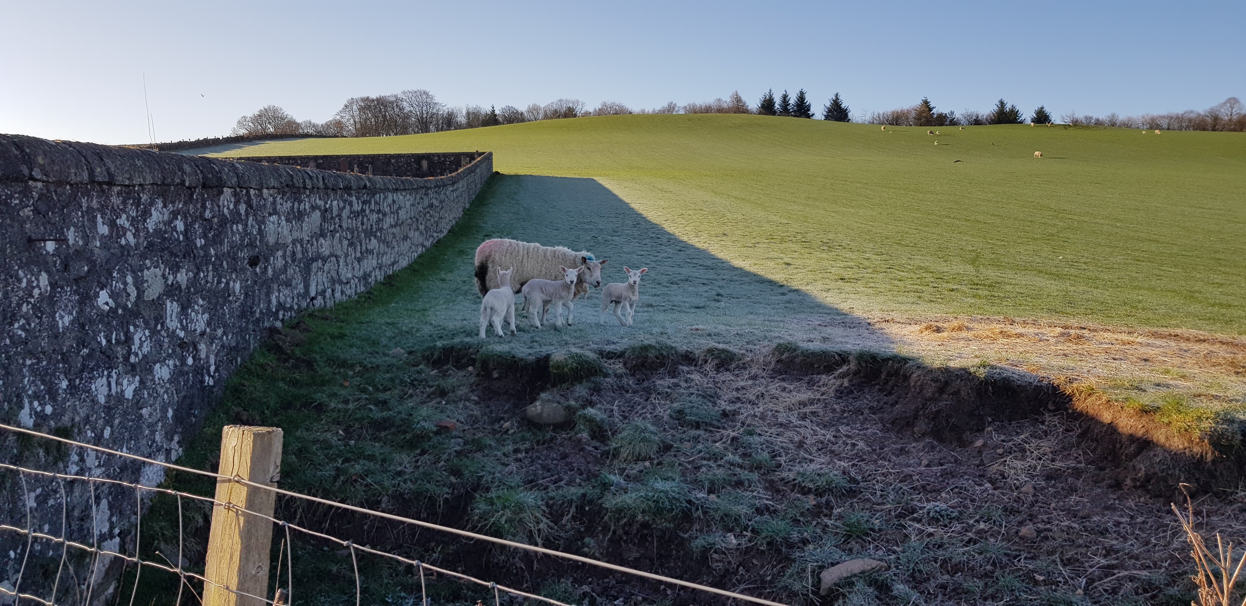
Our welcoming party

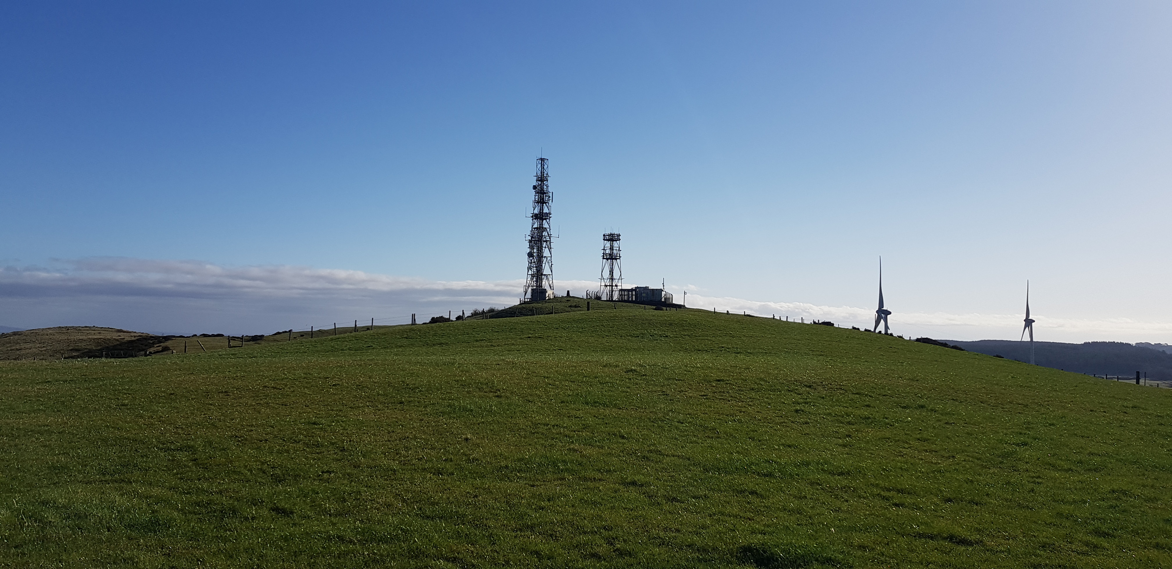
Summit up by the mast

Getting nearer

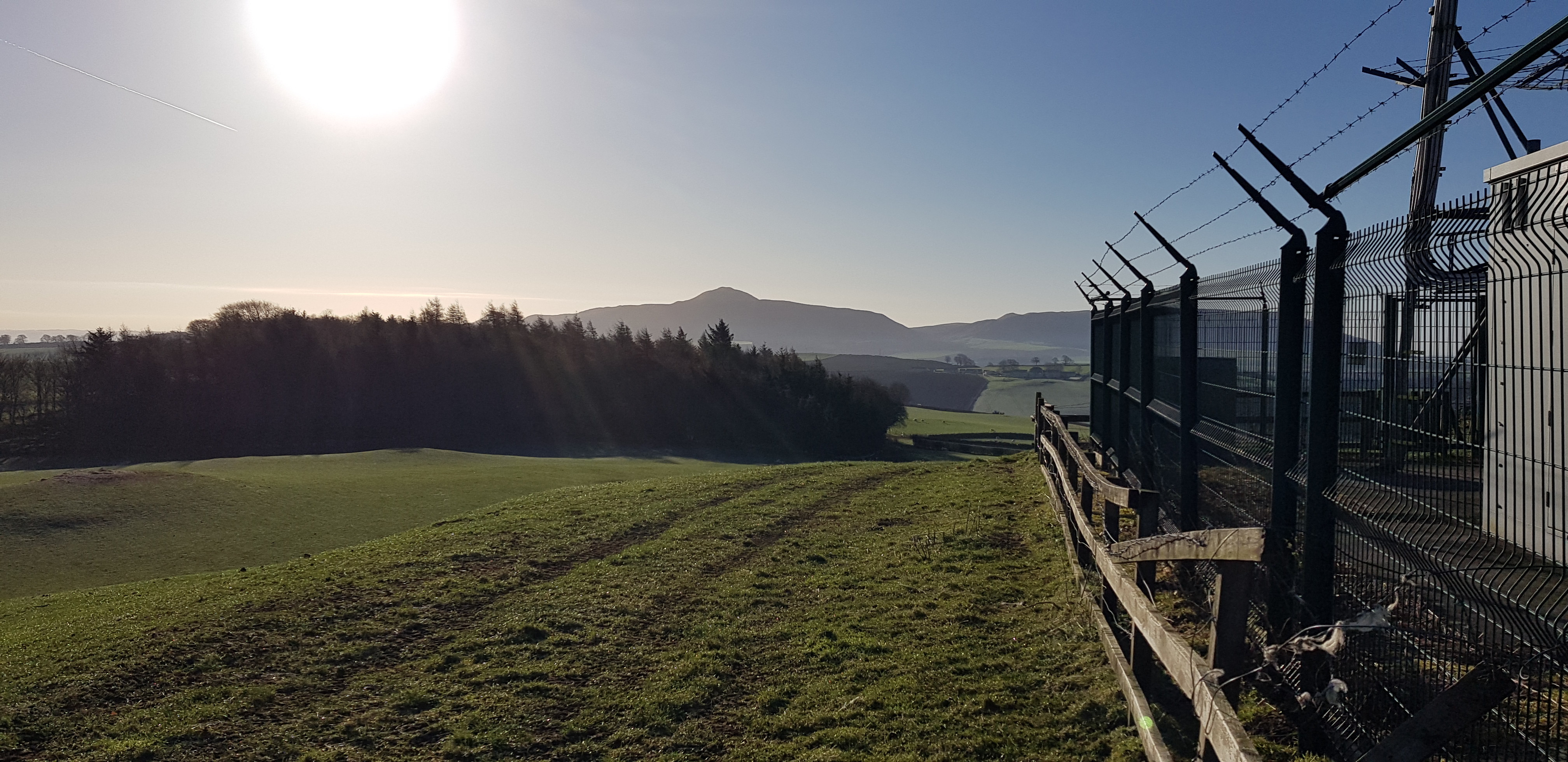
Glenfarg
West Lomond from by the mast
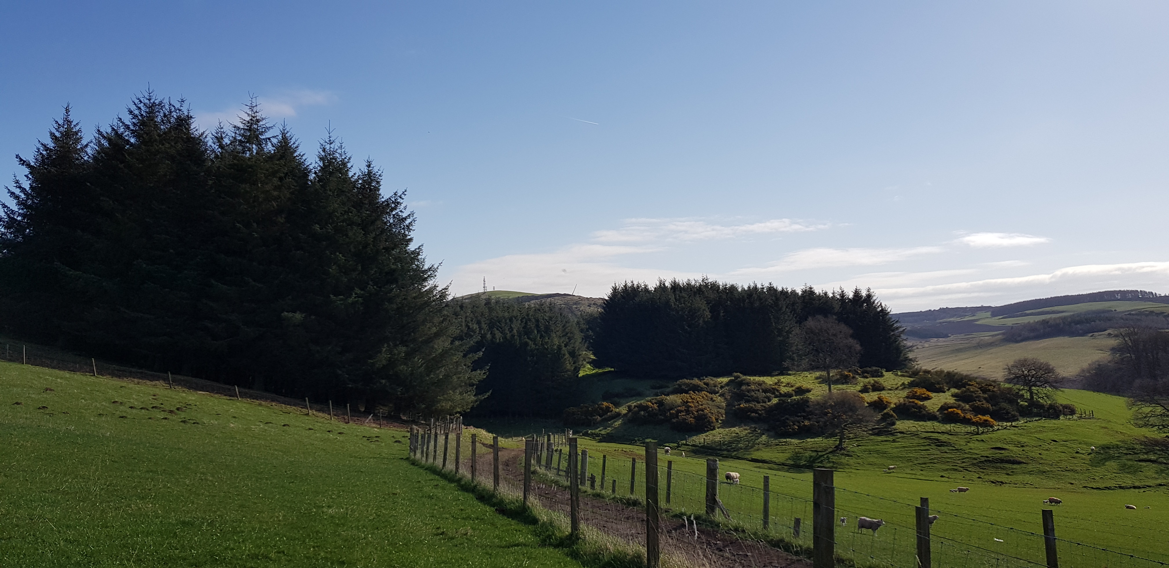
Letham Hill, 244m, 39m, 1.5km, 25mins

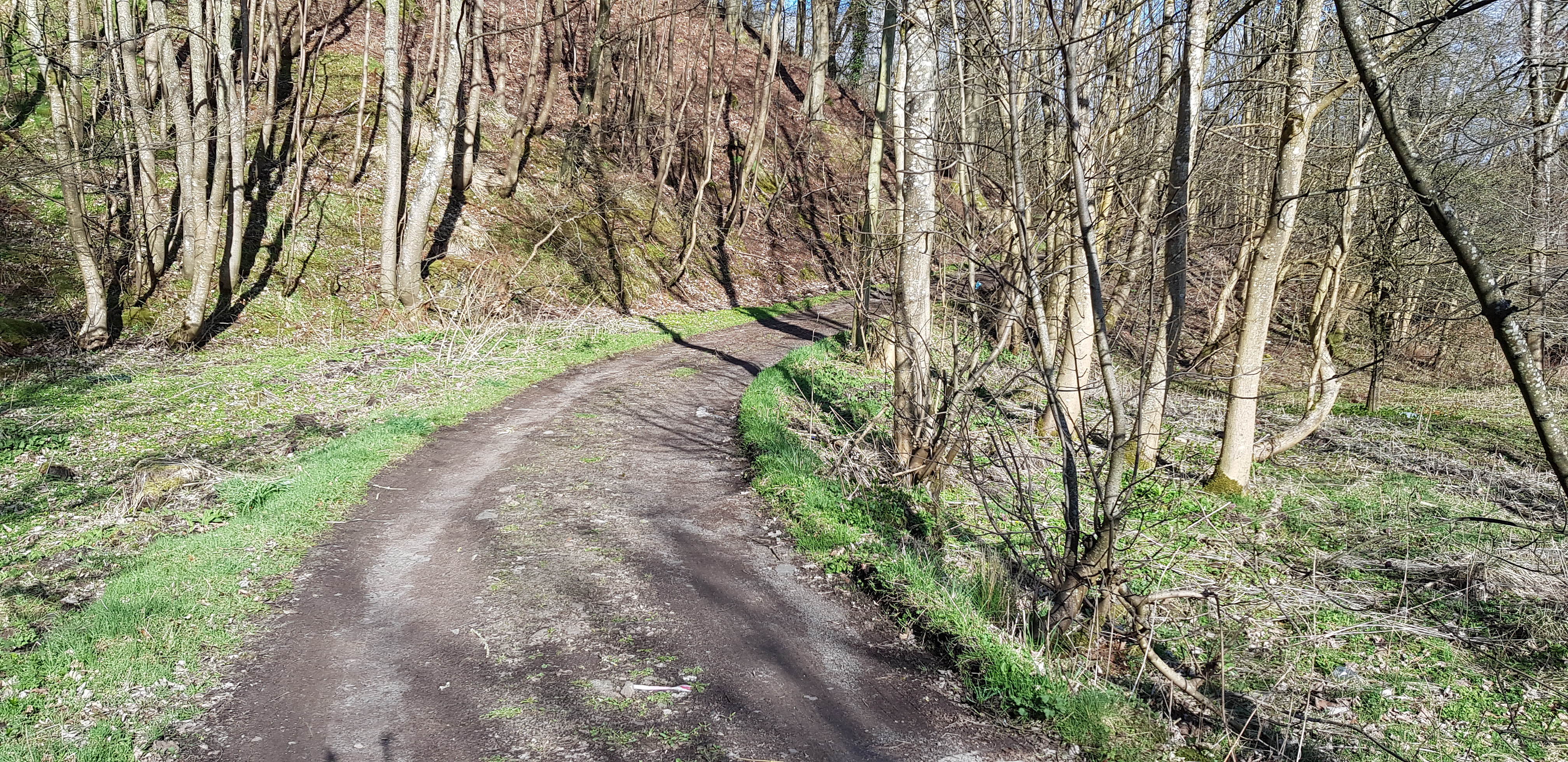
The road / track up towards Letham Hill

Looking back down, rather undulating

Letham Hill up in the trees, we went up to the summit from the other side of the fence

Not far now

Summit area of Letham Hill

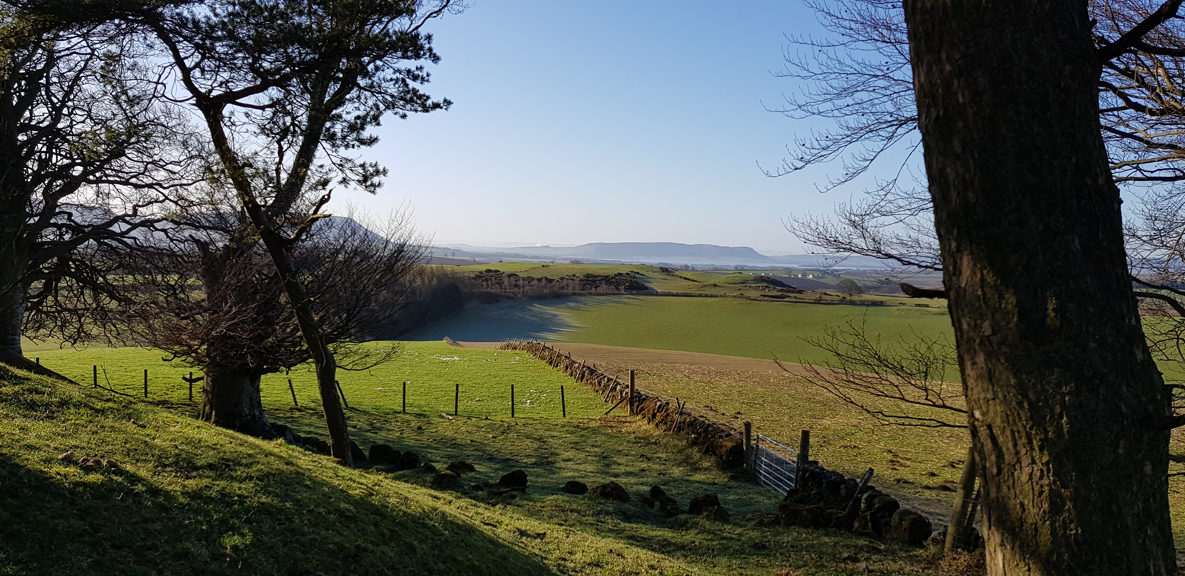
Loch Leven in the distance through the tree branches
A slightly different angle
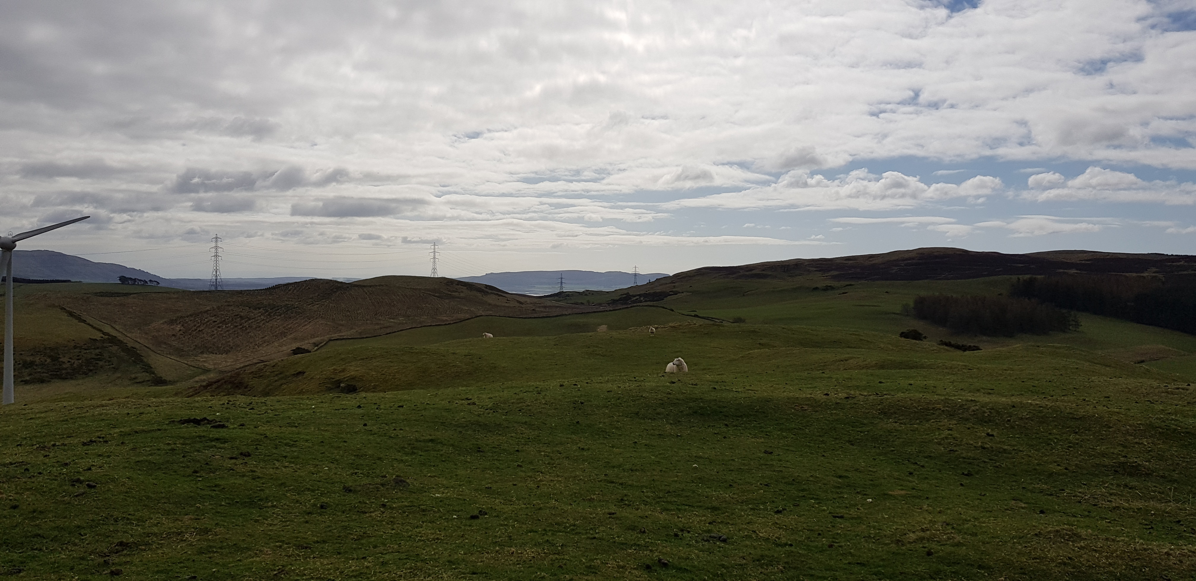
Binn Hill, 277m, 180m, 2.5km, 50mins

The start of the walk up to Binn Hill

Plenty of gates on this walk, a few open, most have to be climbed over

Looking back down hill

Another stop to get our breath, looking back

Looking NW, Bridge of Earn & Perth in the distance
Summit of Binn Hill now in view
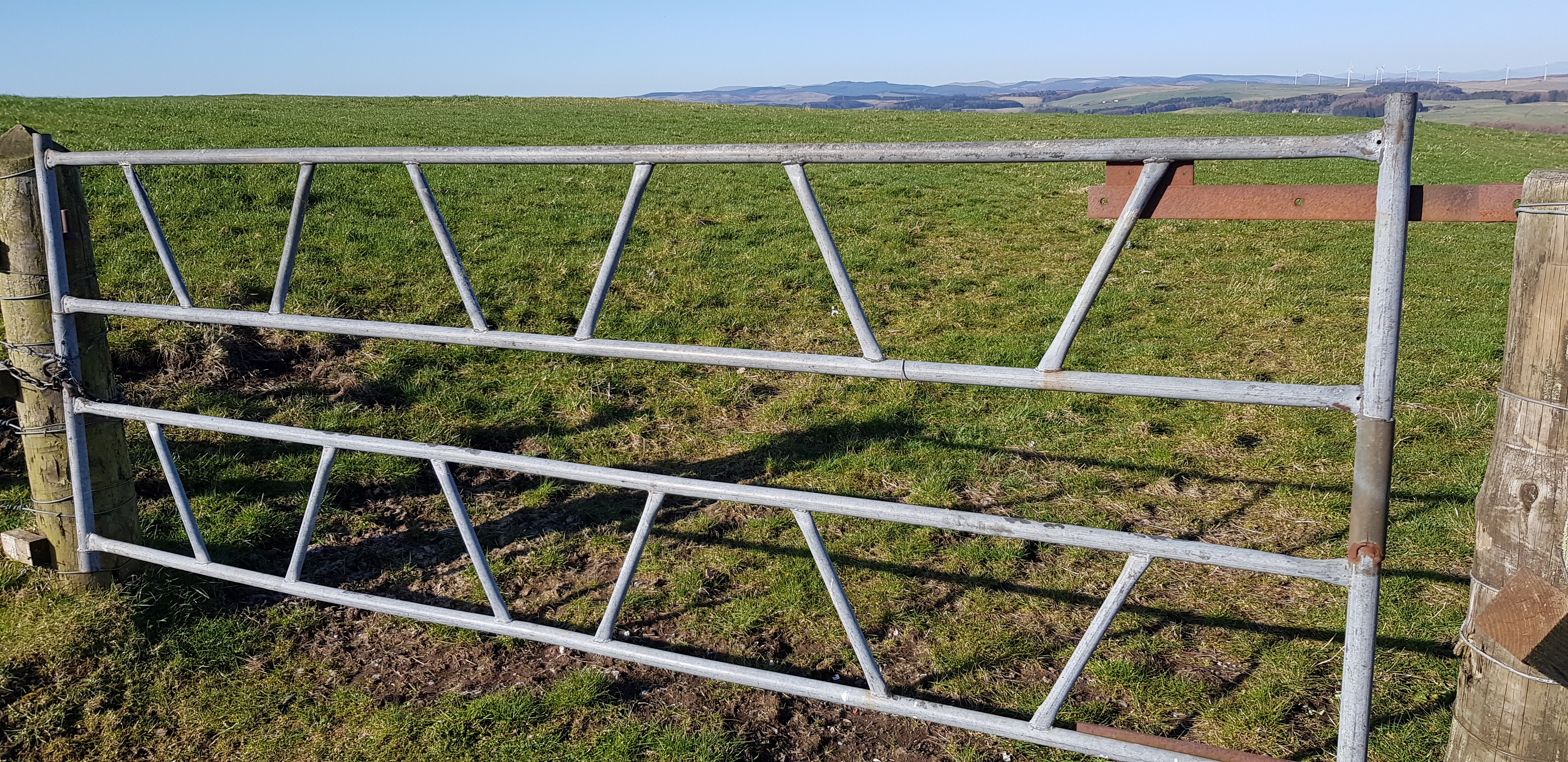
One of the many "home made" gates
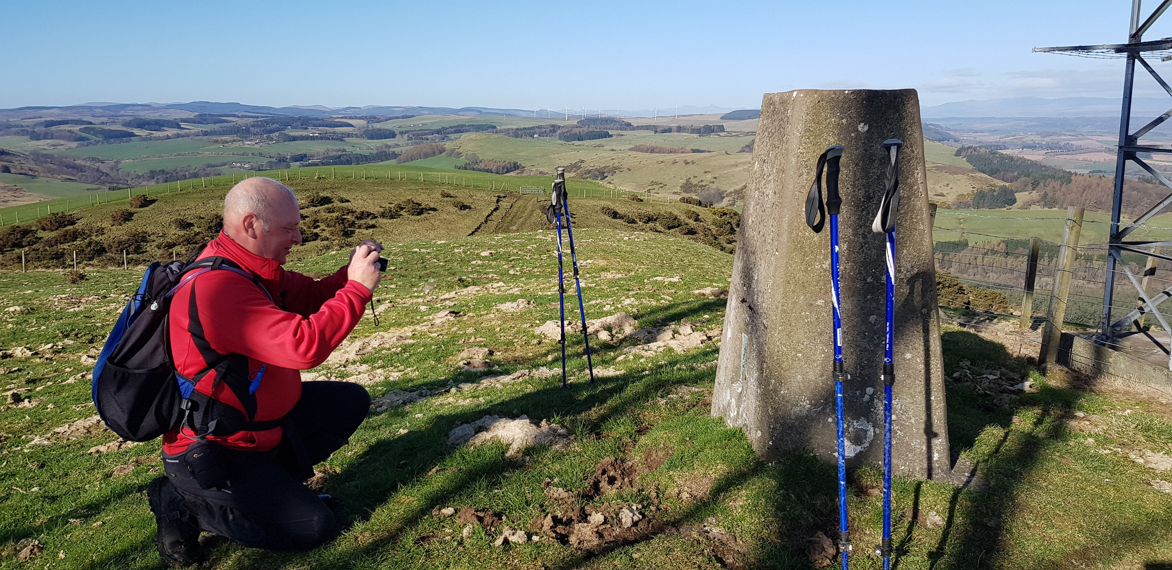
Our only trig of the day

Trig number for the collectors

The Tay Estuary in the distance

Landfill site / recycling centre

Camera shot, slightly zoomed
Another home made gate
Pottie Hill, 238m, 201m, 3.1km, 1hr

After crossing the main road there is a bridge over this burn
The way uphill

Behind all the trees is a tunnel, disused railway line?

The bridge over the old railway line

Looking the other way from on top of the bridge

We are now off piste

The way ahead, the summit is on the right behind the trees
Looking back downhill, Binn Hill in the distance with the masts on the summit

Summit of Pottie Hill up there

Looking NE from the summit area of Pottie Hill

Looking down on the M90

George posing on the summit
Birnie Hill, 263m, 44m, 1.4km, 25mins

Looking down on the house with stables and a horsey training area

The summit of Birnie Hill is just to the left of the trees

West Lomond

Summit of Birnie Hill, not very exciting
Temple Hill, 283m, 29m, 400m, 15mins

Looking back downhill, not far to the summit, one of the easy hills

Not sure how the tyre got there?

Looking east from the summit of Temple Hill
Looking SE over the undulating terrain
Blair Hill, 275m, 57m, 1.4km, 30mins

A couple of swans enjoying a pond all to themselves
Looking down the same pond

Presume there used to be lots more water

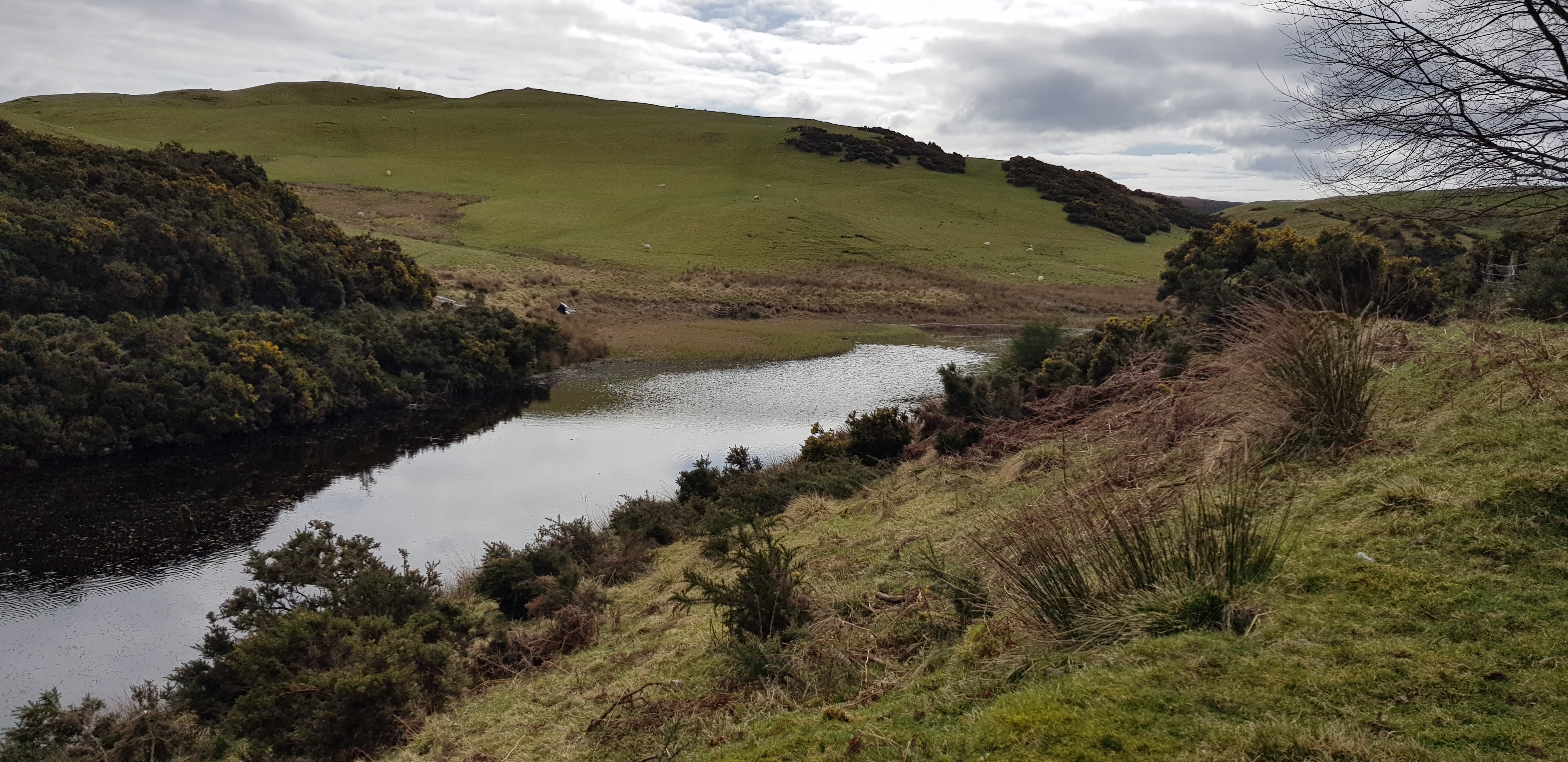
Our first view of Glenfarg Reservoir

We are now in the middle of the Perth Off Road Centre, summit of Blair Hill ahead

The Lomond Hills in the distance
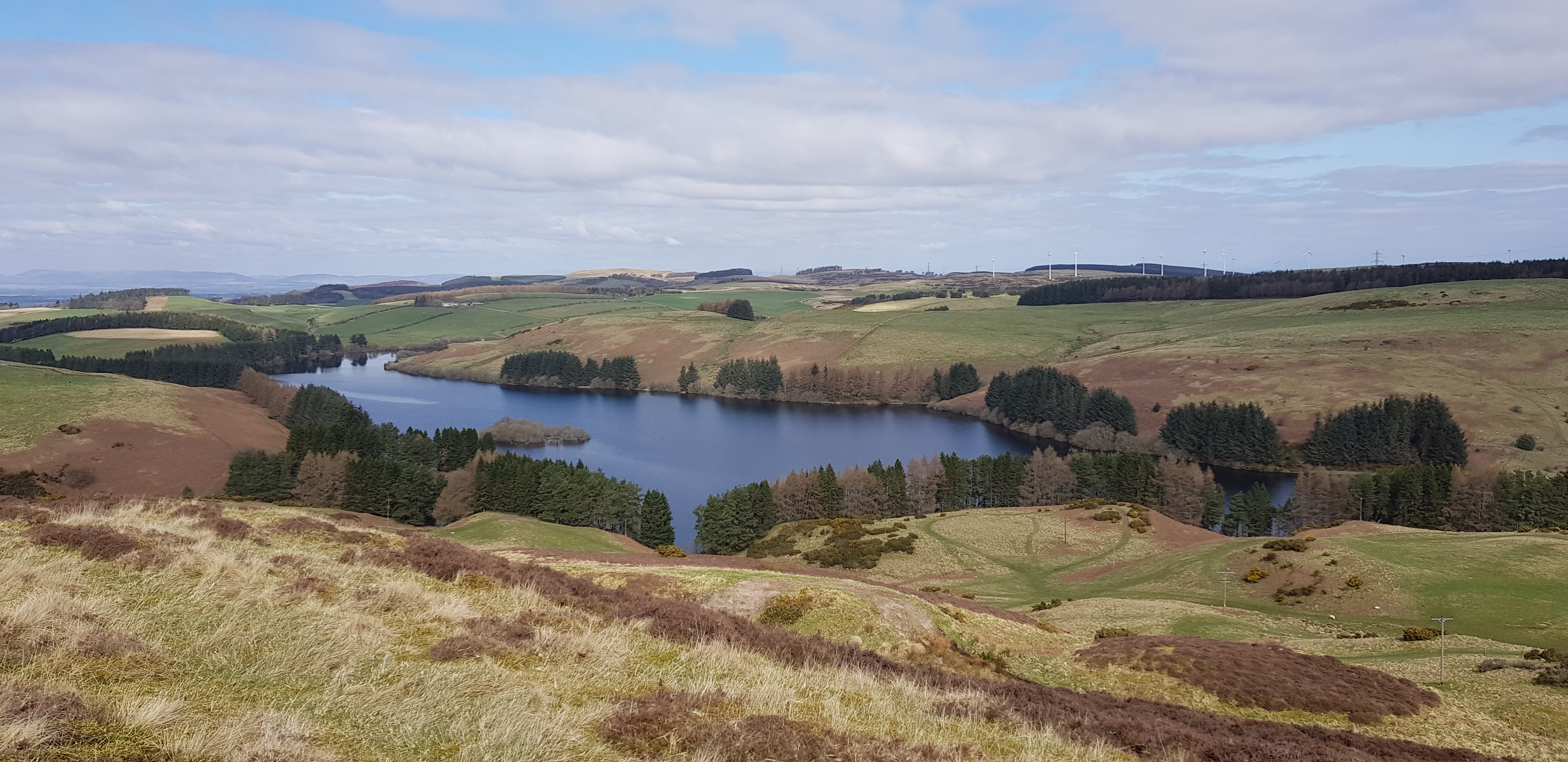
Glenfarg Reservoir from the summit area
Springhall Hill, 281m, 30m, 700m, 15mins

The summit is just up there, another easy hill
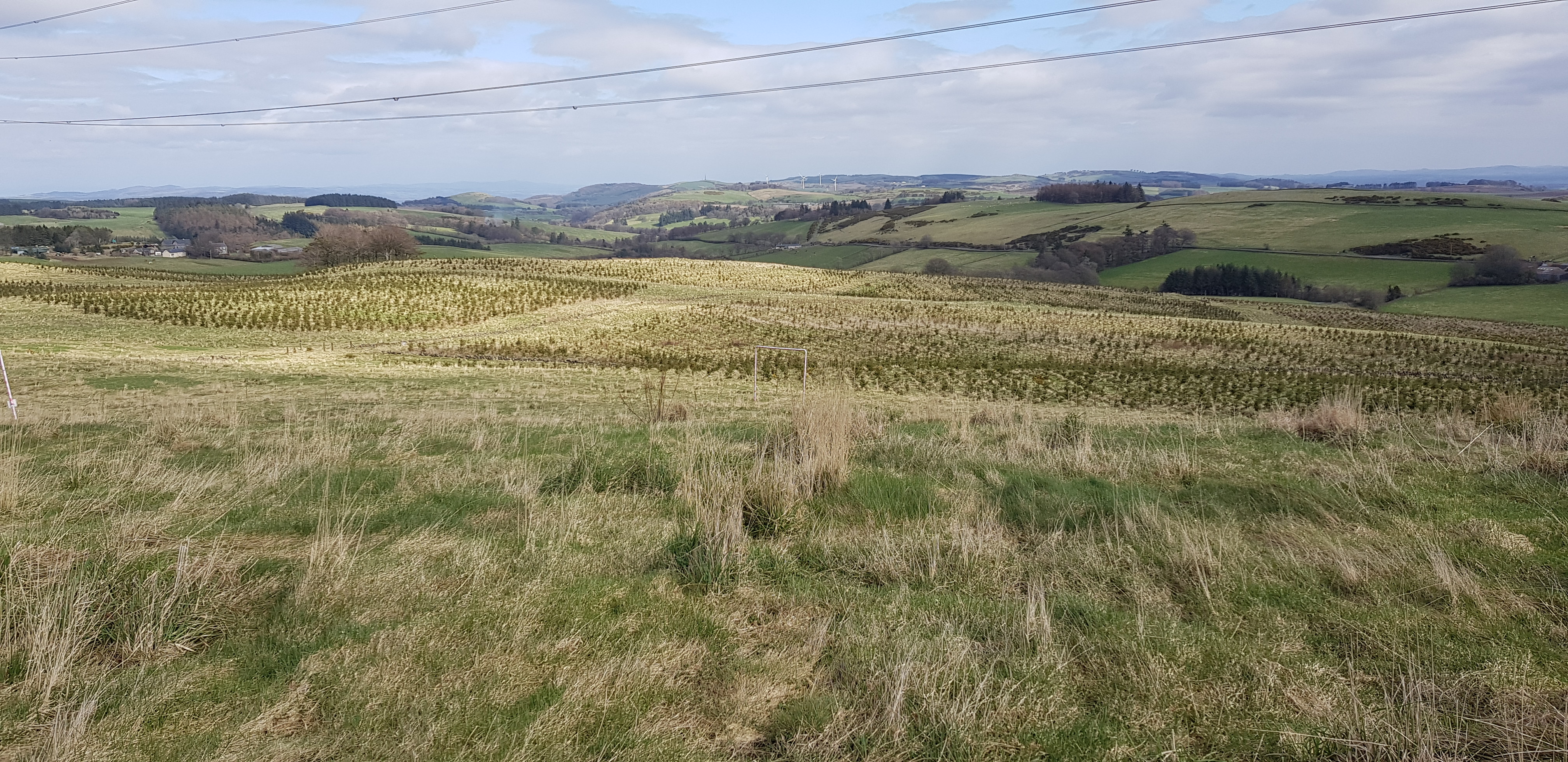
Plenty of recent tree planting

Loch Leven from the summit of Springhall Hill
A very pleasant day, none of the hills will last long in the memory, although Letham Hill will for all the wrong reasons. The forecast for the coming week doesn't look very appealing and it looks like our next outing will be on Saturday - for more of the same.
