free to be able to rate and comment on reports (as well as access 1:25000 mapping).
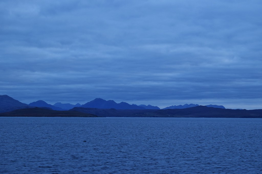
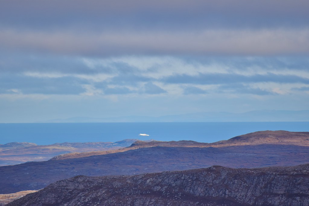
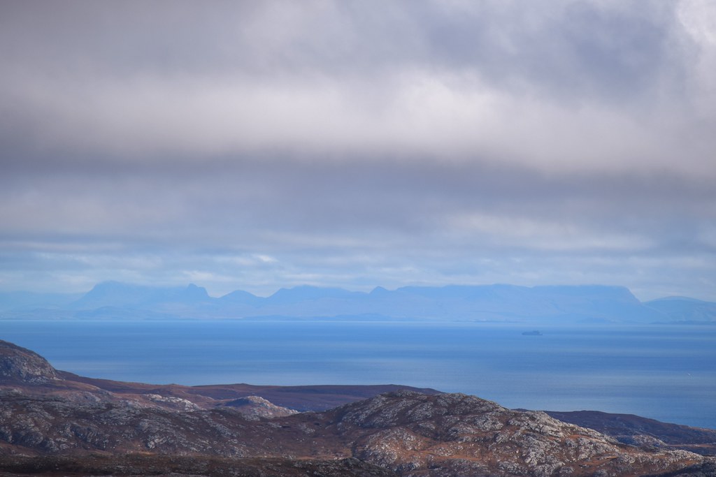
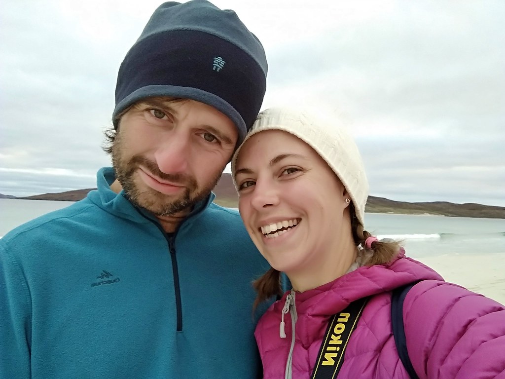
Thursday 15th October 2020We’d been hoping for a chance to get away to the Western Isles this year, and it was looking less and less likely until we grabbed a weekend. We’d almost made it out a few weeks previously but I’d been hit by a nasty relapse and we’d pulled the plug. I was not feeling great as we just made the ferry, but was hoping that some fresh air would help – the usual spectacular close-up views of Beinn Mor Coigach were a welcome distraction from my complete panic at being on a ferry WITH PEOPLE


The Fisherfield hills
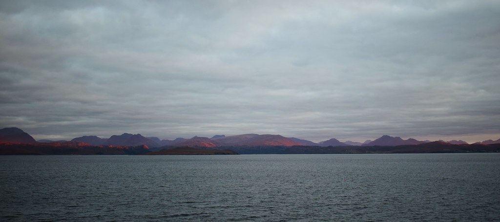
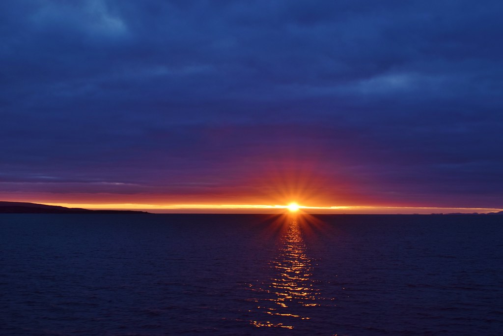
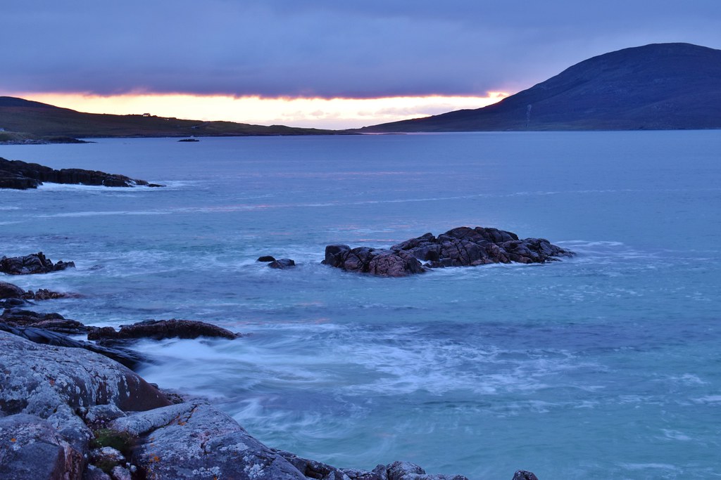
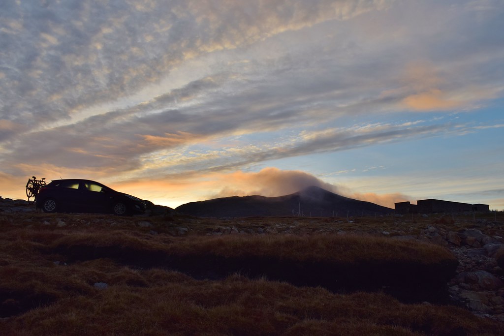
One advantage of standing outside for the whole journey was that we witnessed an incredible sunset


It almost seemed like some of smaller islands were hovering!

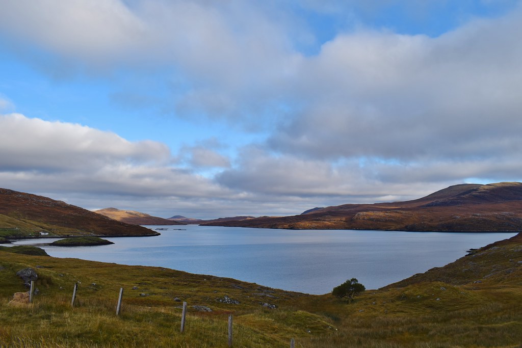
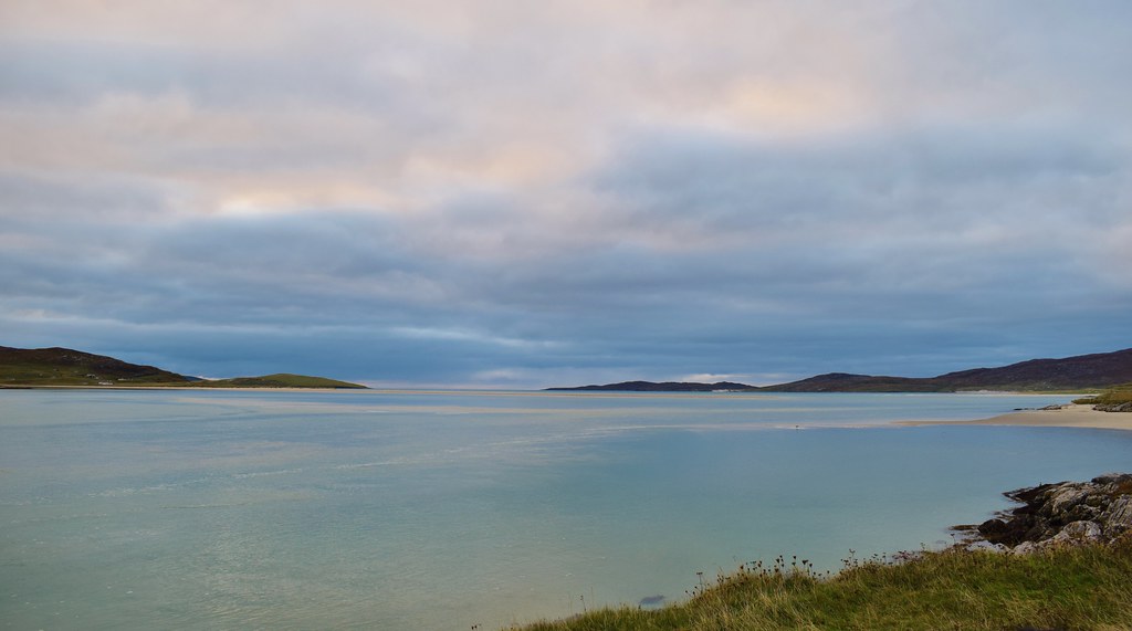
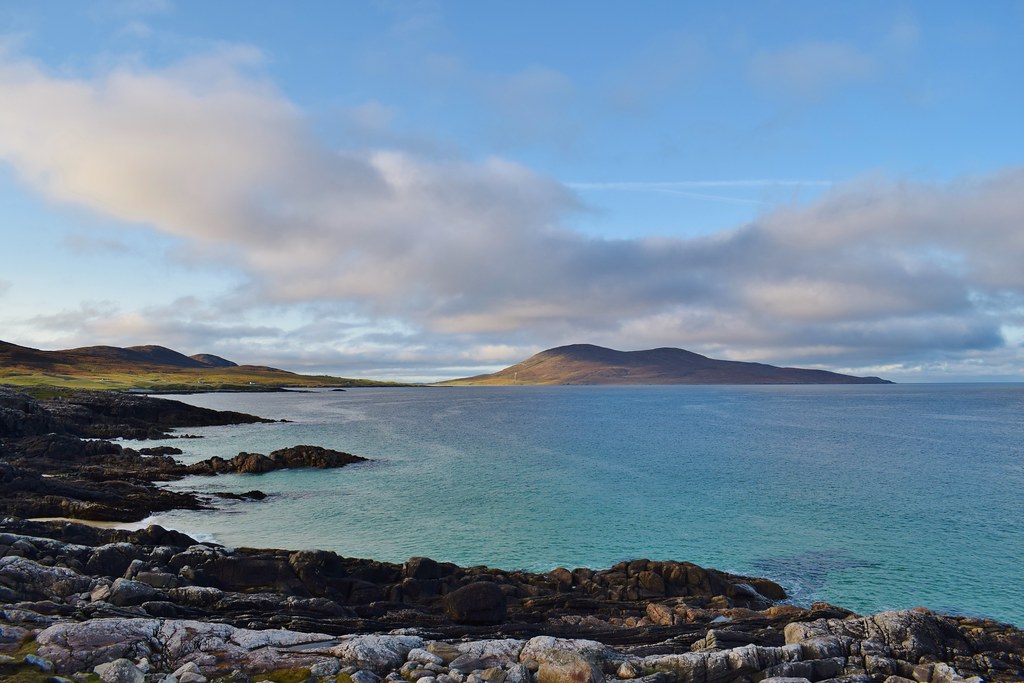
Harris

Skye

Skye – Beinn na Caillich, Beinn na Cro, Bla Bheinn and the Cuillin
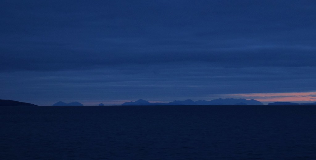
Finally we had arrived into Stornoway – we were there

Malky recommended a Thai takeaway in Stornoway which we phoned just as we docking which we were able to pick up and enjoy before driving a few miles down the road to find somewhere to pitch the tent.
-----------------------------------------------------------------------------------------------------------------------------------
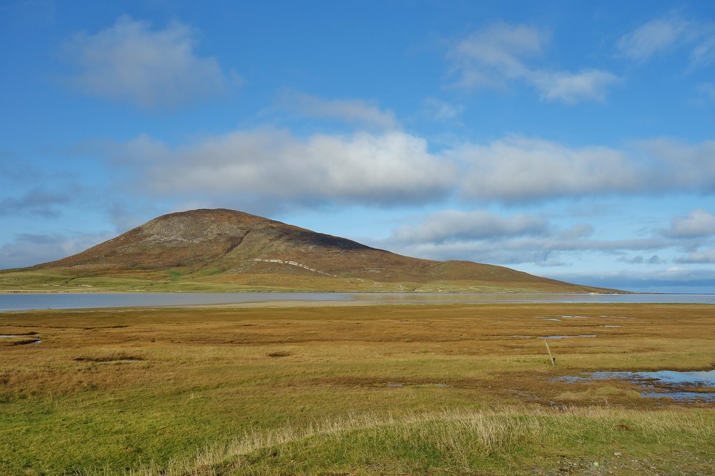
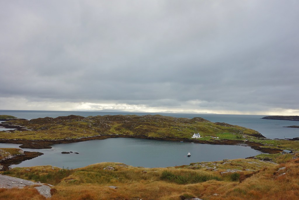
Friday 16th October 2020Despite being a very quick tent pitch in the dark, we awoke to a fantastic view across to Todun – we really were on Harris

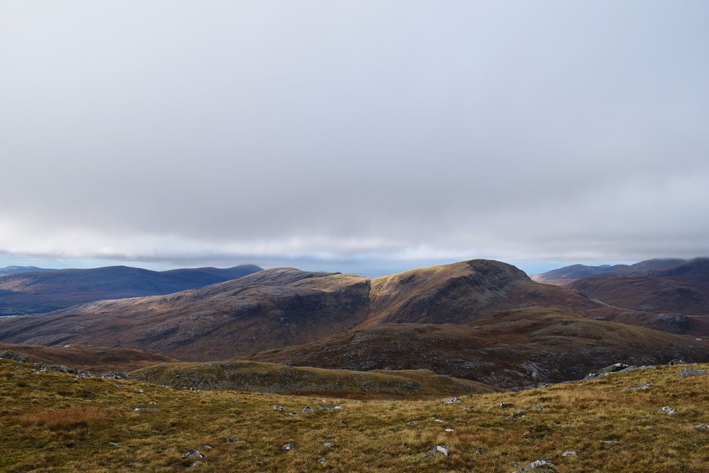
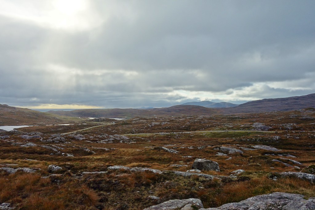
As today looked to have the best forecast of the weekend we were keen to do something awesome. Malky had his eyes on Tiorga Mor but given how rotten I’d been feeling we figured that would probably be pushing it. Seeing as we woke up looking at it, we decided on Todun. Impressive and also (if done from the high point of the road) not too much ascent.
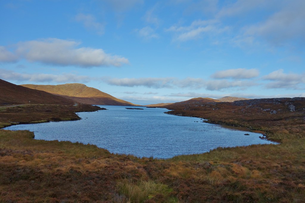
We headed down the road, admiring the views down Loch Seaforth on the way
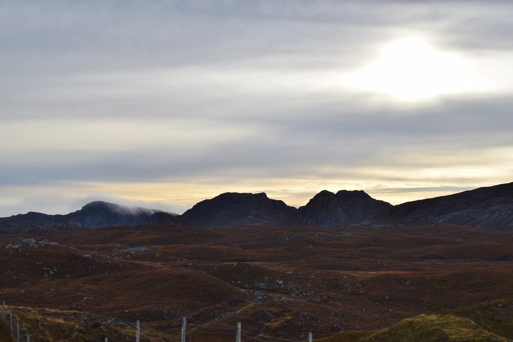
Clisham – in the cloud

We found somewhere to leave the car and headed off towards the hill across a flatish section of ground

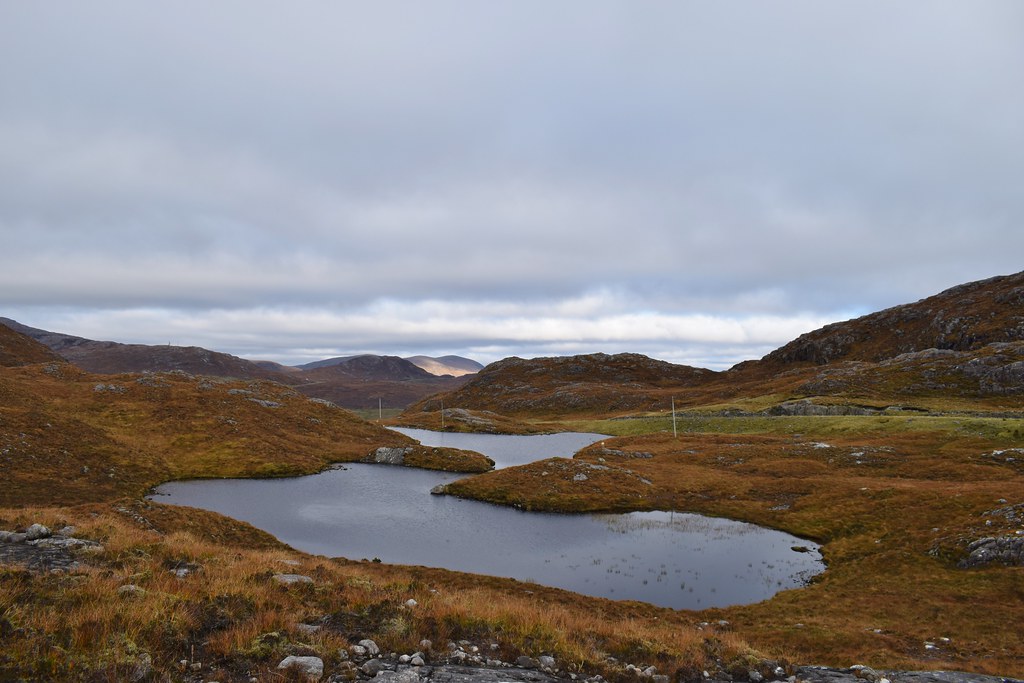
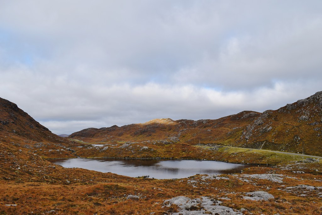
Lochan an Fheoir
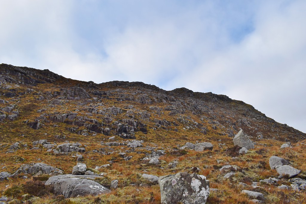
The climb onto the ridge was not as bad as I’d feared – the ground was very reasonable and we were able to zig-zag slowly upwards. We were rewarded with some cracking views over the Shiants.
Now on the ridge, the way ahead was clear. The ground was very easy to walk on, it was the uphill that was a problem


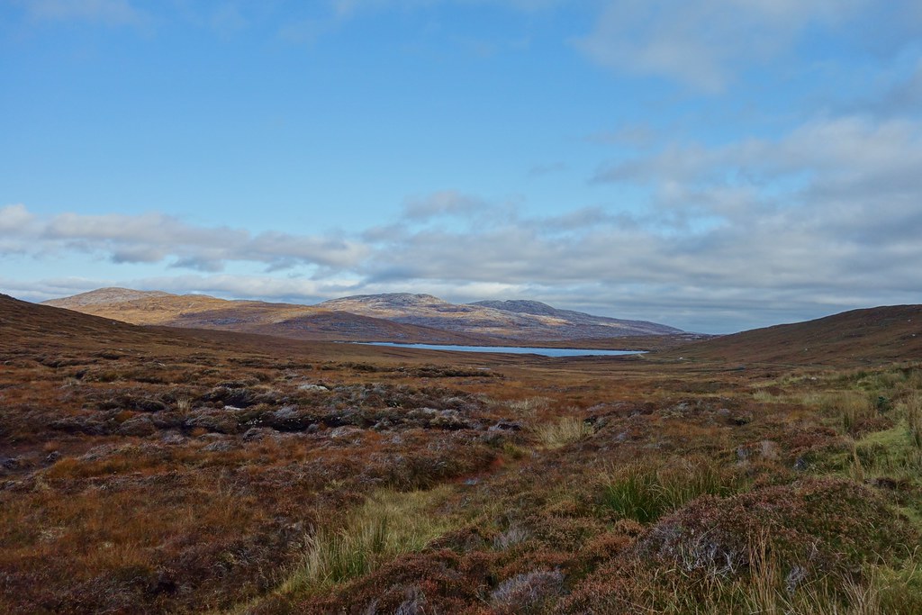
The views of Loch Seaforth and Caiteseal were worth the effort

Sgaoth Aird starting to look impressive

Looking across the tip of Pairc to the Shiants

Shiant Islands

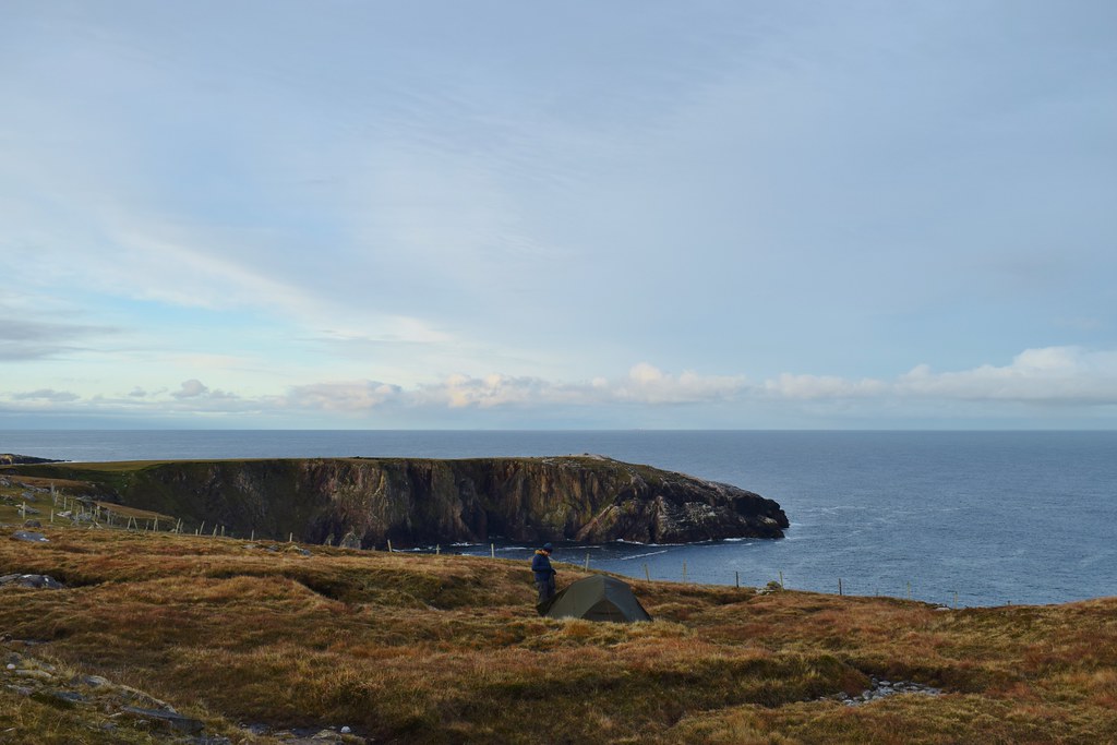
Now on the summit we were able to sit and enjoy the views – it felt amazing to be somewhere so remote, we hadn’t really thought we’d make it out here this year.
Eilein Seaforth

The Tarbert ferry
What’s this.!

Looking across to Skye
Sgaoth Aird
Loch Seaforth

North towards Lewis

Looking across Tarbert towards the Uists

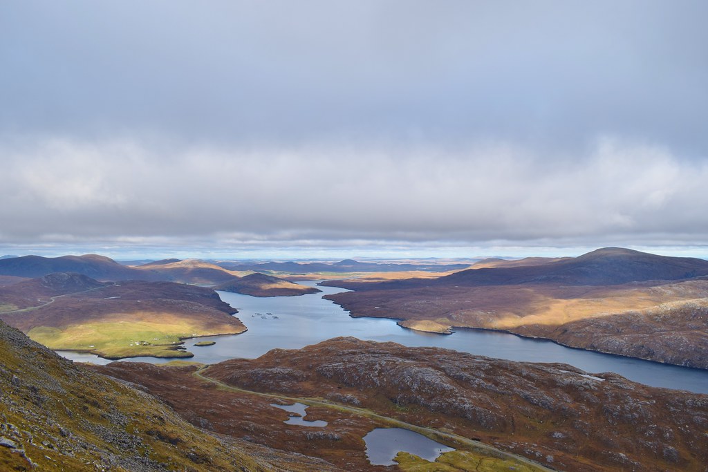
Summit of Todun!

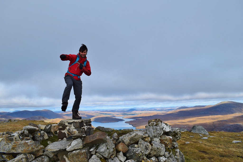
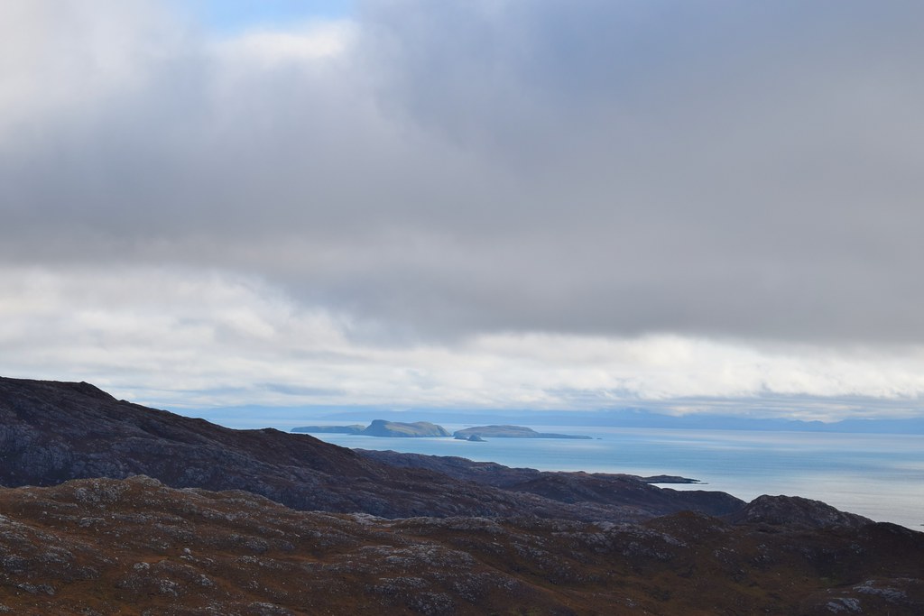
Well hello there St Kilda

The northern tip of Skye

We enjoyed the views and our lunch for a while before getting moving – I decided I was game for descending the south ridge, especially as I could always send Malky for the car and it turned out to be a good choice. We could see the “postie path” which used to be the only route to Rhenigidale before the road was built

It did look like we were about to walk off a cliff!

Loch Seaforth again
At this point things got quite exciting

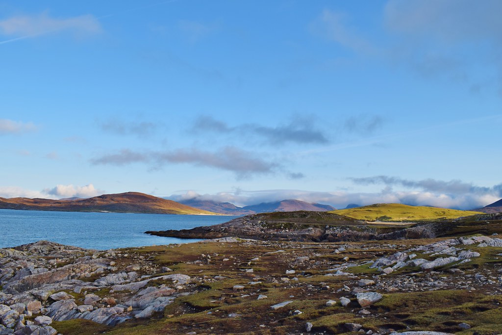
Looking south – I love Harris

As we got lower the ridge widened a bit and we needed to look for a spot to drop back to the road

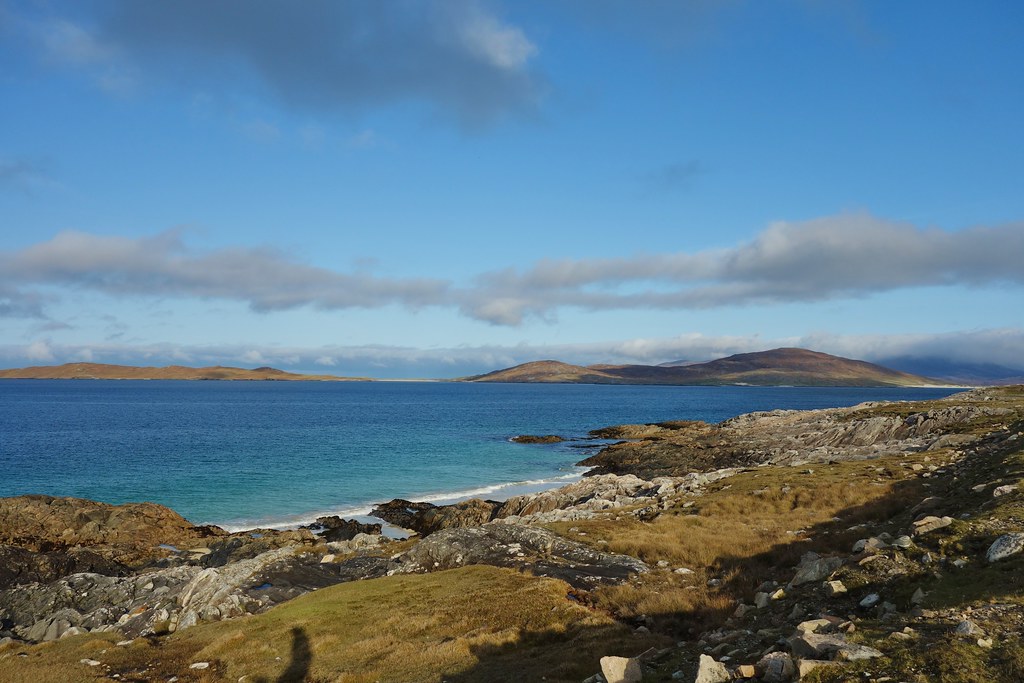
Skye

We dropped off the ridge more easily than we expected – looking back up it was hard to work out how
Almost back at the road….
Todun across Loch Mor

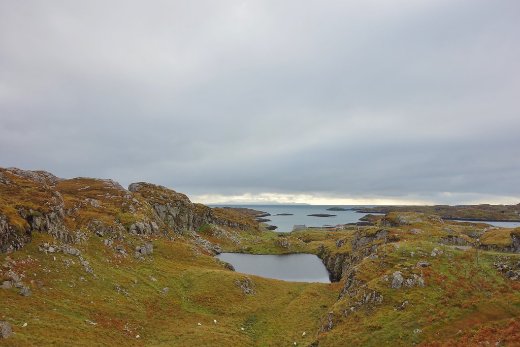
It was a short walk back to the car but I was struggling – I should have send Malky to pick me up but I’m annoying stubborn. We decided to have a quick drive around to Rhenigidale and it was worth for this view of Todun alone!

The “postie path”
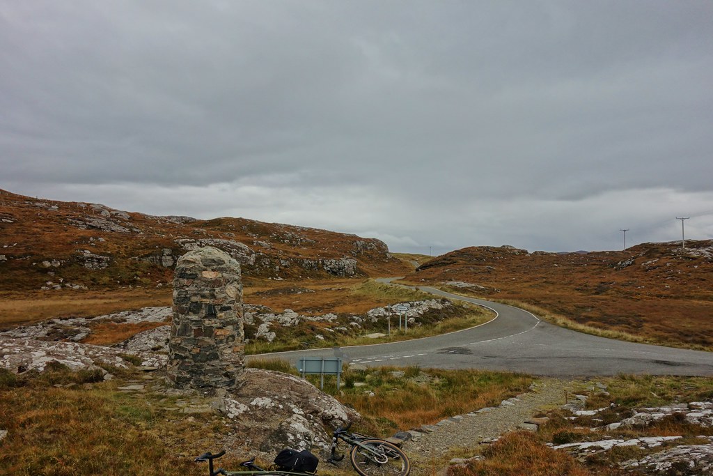
 Todun – 5.66km, 420m ascent, 3 hours 25 mins:
We needed to find somewhere to camp – we weren’t going to be doing anything epic, and knew the perfect easy spot along the north coast of Harris
We got the tent up and relaxed a bit before deciding to cycle to the miles around to Luskentyre….the obligatory photos on the way…


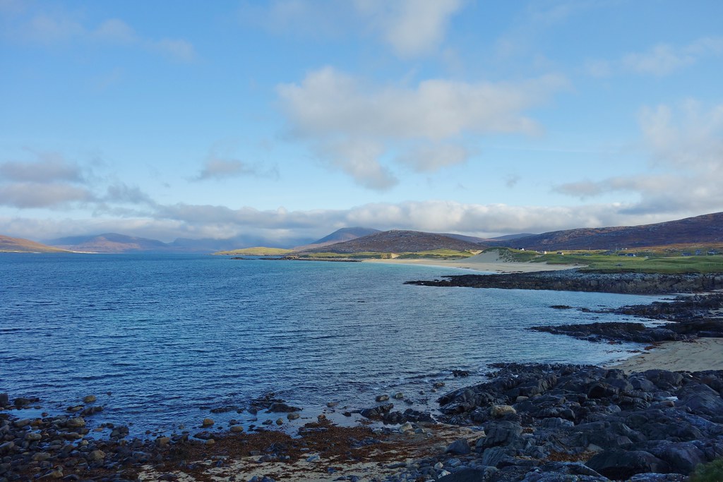
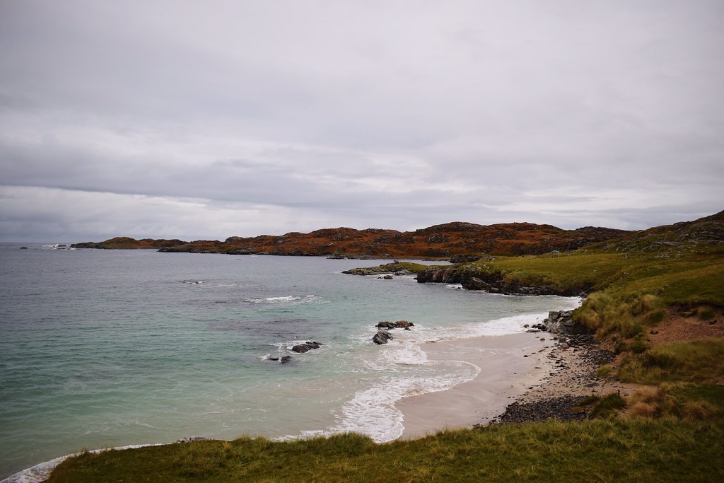
Luskentyre

Still feeling crappy, but feeling crappy in awesome places
 Cycle - 20.17km, 210m ascent 1 hour 20 mins:
Back at camp, Malky got dinner on while I sat with my camera hoping for a spectacular sunset – it didn’t really materialise but it was nice

I did discover that long exposure photos of waves are cool
We enjoyed our dinner and sitting out in a beautiful location. When it got cold we retreated into the tent and tried to get an early night
--------------------------------------------------------------------------------------------------------------------------------------
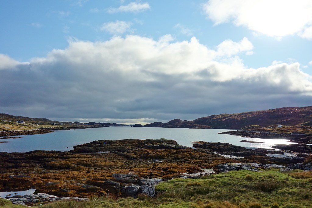
Saturday 17th October 2020There’s something just wonderful about waking up next to the sea, the waves breaking beneath you and we both felt so much more relaxed (even me!) as we enjoyed our breakfast with views towards Ceapabhal
The cloud was sitting on the high hills but the light was stunning
Taransay

Really cool rocks

Photographing waves – a new obsession


Enough playing around – Malky wanted to get on and do something
So much for relaxing


After yesterday’s hike, I was feeling a bit knackered. Seeing as cycling tends to do me less damage at the moment we decided to do a loop that we’d been talking about for a while, but a slightly shortened version. We headed south on the main road, taking time to stop for a picture at every beach
Malky waiting patiently(ish)

Ceapabhal from the golf course

Malky leading the way

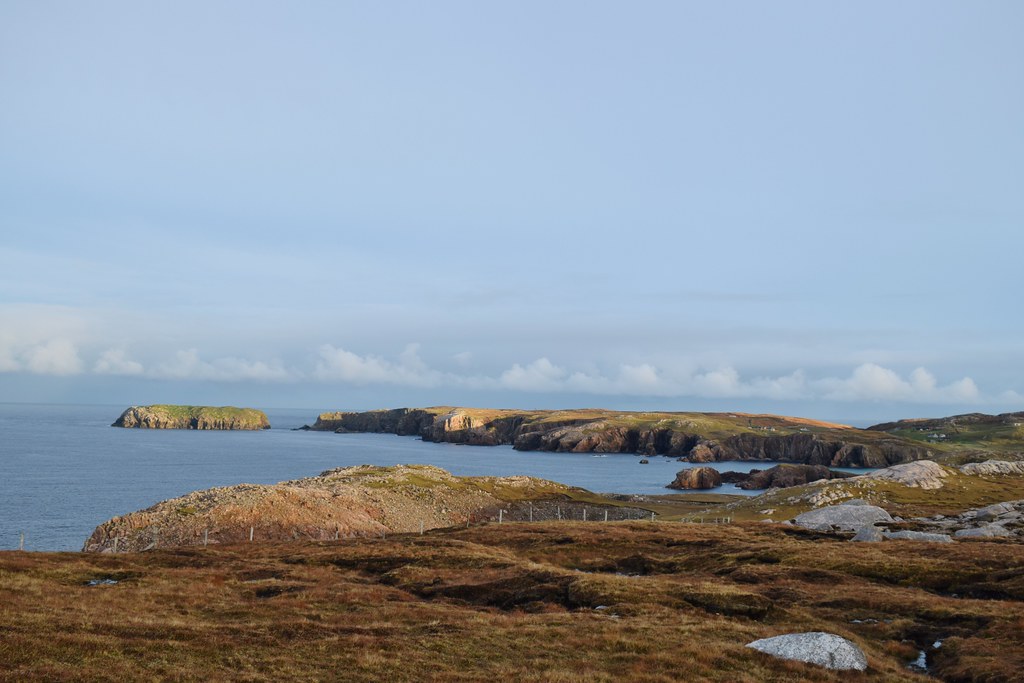
Ceapabhal – surely one of the best situated little hills
The climb from Northton was a bit brutal but was fortunately followed by a nice descent towards Leverburgh, where we decided to cut off a bit of distance by taking a left before reaching Rodel – this gave us some awesome views across Loch Steisebhat to Greabhal

Loch na Moracha and Greabhal

Looking north to Heilesabhal Mor
Loch Langabhat
The impressive coire of Roineabhal

We were now properly on the south side of Harris and the landscape was completely changed – much rockier

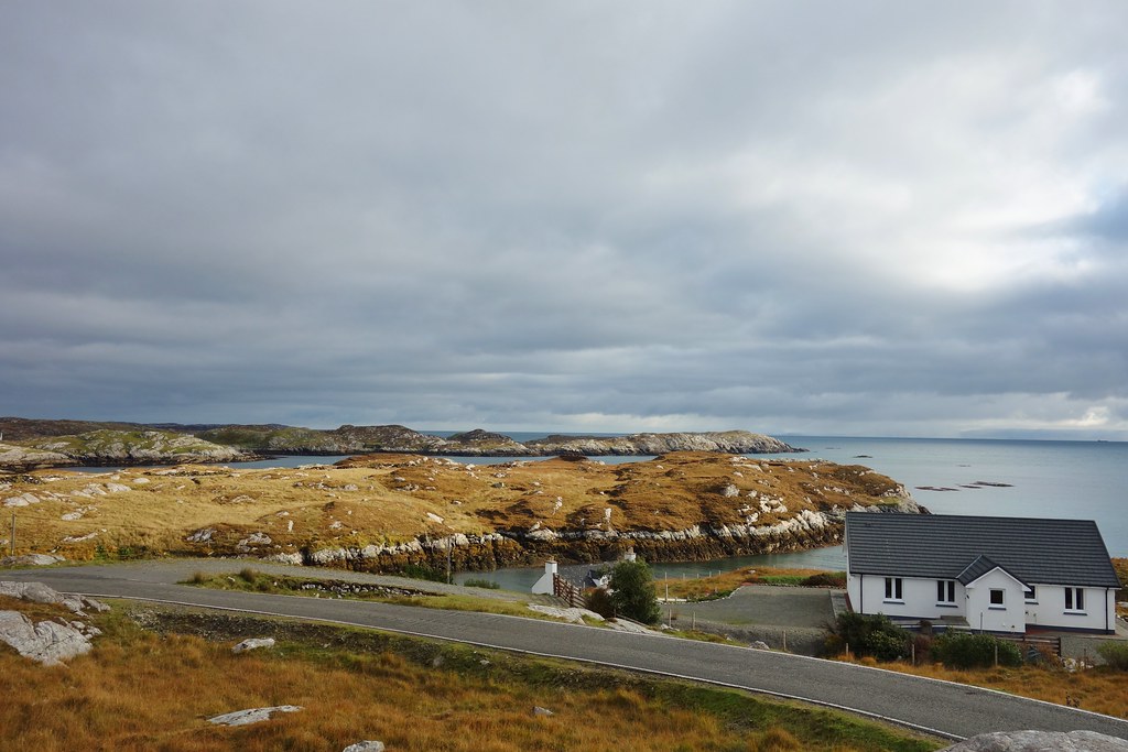
Although completely different in character to the north coast, the villages and coastlines of south Harris were equally beautiful

It was slow going – partly down to stopping for a lot of photos, but also because I was pathetic and ill, so we decided to have a break for lunch to try to get some energy back. This helped to some degree and we were able to continue…

The climb back up from Geocrab was long and steep and took a lot time!
The landscape was interesting and the views across to Skye helped!

Looking out over Loch Stocanais
An Coileach
At last we could see the main road – we were almost there!
From here it was pretty much all downhill to where we’d left the car – unfortunately there was a bit of drizzle in the air

Luskentyre looking a wee bit gloomy!

At last we were back at the car – phew, so much for an easy day
Cycle - 46.59km, 653m ascent, 4 hours 10 mins:We needed to find somewhere to camp – we were thinking either Huisinis or even Mangersta way out on the west coast of Lewis. We had a quick stop in Tarbert to use a toilet and discovered that there was a shower which was even more welcome!!
We then made the trek out to Mangersta – why not?!

It was an amazing spot and although the weather was a bit unpredictable, in between showers it was a beautiful evening

If you know, you know


Sea caves
We got some dinner on and spent the rest of the evening relaxing and playing Uno
-------------------------------------------------------------------------------------------------------------------------------
Sunday 18th October 2020It was a cold night – we were wrapped up warm and toasty, but there was a serious chill in the air when we woke up. The views were cracking though!
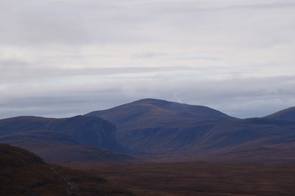
Mealaisbhal would be looking tempting if there was any chance I’d manage it!

Amazing coastline

Flannan Isles

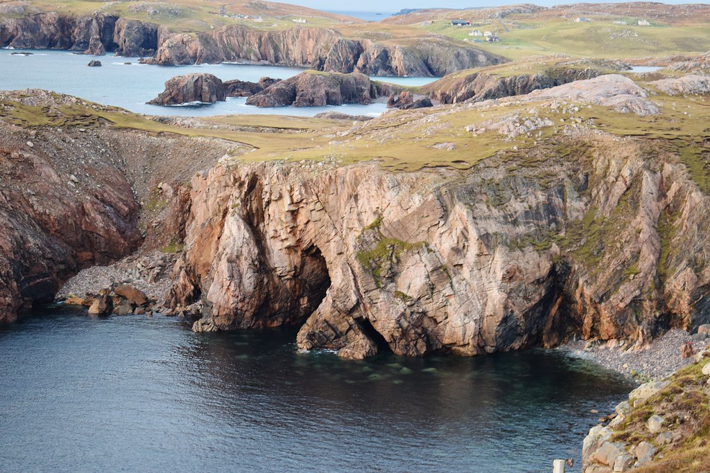
We drove down to Mealasta at the end of the road where we saw more cool sea caves

St Kilda

We weren’t in a rush to go anywhere or do anything so we had a wee stop at Mangersta beach. It was a lovely spot


Incredible rocky hills
Suaineabhal and some of the rocky hills across the loch

We had a quick stop at Uig where we were able to fill our water bottles


Malky was now getting itchy feet – we decided that something easy was definitely on the cards for today, and chose Coltraiseal Mor, small lump which we thought would have some good views across to the bigger Harris hills. We weren’t wrong, although the views (as always!) are only half the story…
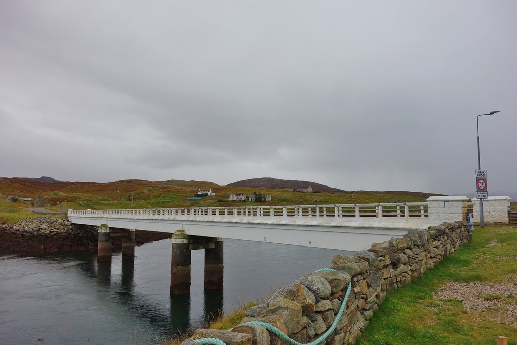
We parked up in a layby near the end of the road, before crossing the burn on the road bridge


There was a track along the other side of the river which in hindsight we should have cycled down, but we didn’t realise quite how difficult the ground was going to be! We slowly walked up the hillside, the ground becoming more and more like walking in deep sand – very sinky!

Oh look – a track. Why aren’t we over there?!

Approaching Coltraiseal Mor the ground was really difficult to walk on and I was struggling

The climb was steep and it took me a long time. Finally coming out onto the ridge was worth the effort though – looking west we could see all the impressive cliffs on the ends of the Harris hills
And with the aid of the big lens, I could see St Kilda

Sron Uladail and Tiorga Mor
Clisham


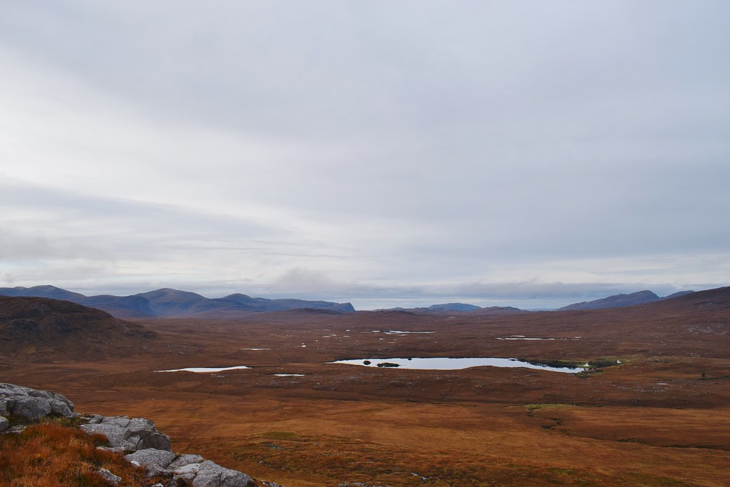
Loch Langabhat

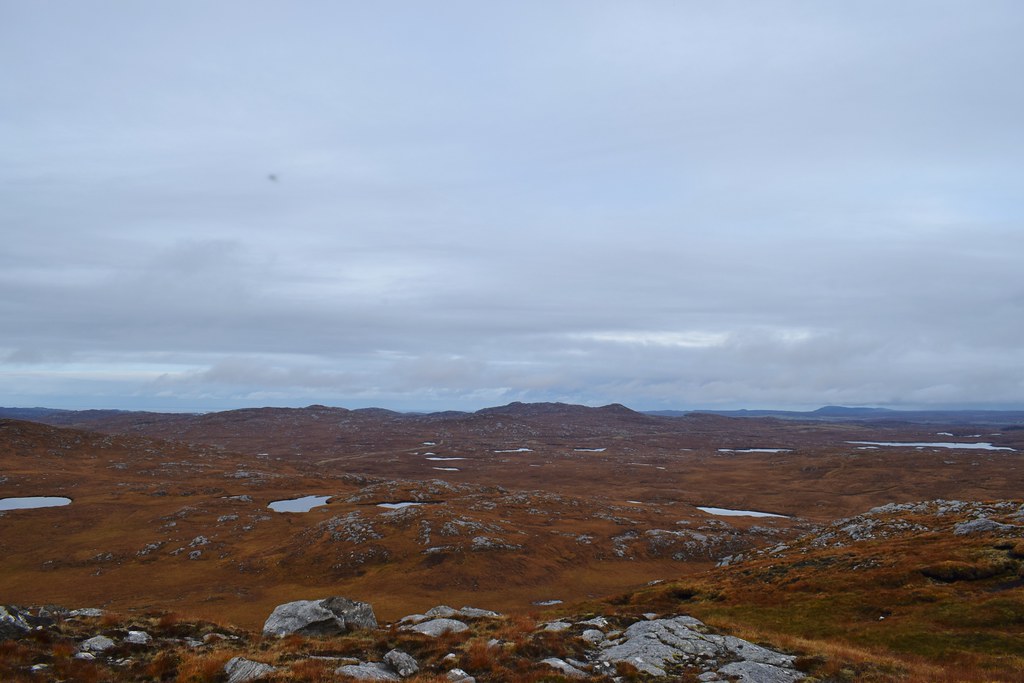
Now on the summit we were impressed with the views from such a small hill. And also wondering the on earth I was going to get back to the car in one piece

Cul Mor, Cul Beag and Stac Pollaidh standing out

For reasons that seemed good at the time, we thought it might be easier to follow the ridge around, past the lochans and over Coltraiseal Beag. The descent off Coltraiseal Mor was a little awkward but not dreadful…
Roinebhal, which would probably have been a much easier hill!

Lochanan na Learga
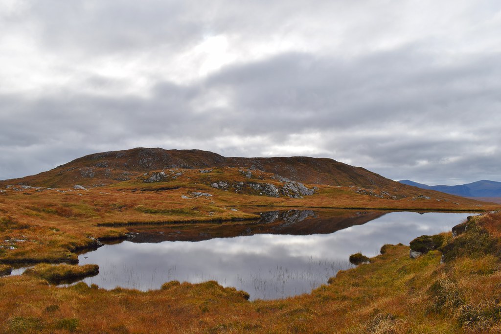
The impressive high Harris hills

Finally we were on the top of Coltraiseal Beag – a totally unnecessary lump but with surprisingly good views, looking back to Coltraiseal Mor

Looking out towards Great Bernera and the road

The rock on Coltraiseal Beag made for a much easier descent as we were able to walk straight down a load of slabs, and after another break this is exactly what we did

Loch Rog Beag

We dropped onto the road and followed it a short distance through a cutting before picking up the other half of the old road loop (marked only as a track now) which shortcut us back to the car.

To be fair, Coltraiseal Mor and Coltraiseal Beag both have some fabulous views, and I’m definitely able to appreciate that from the sofa. At the time….let’s just say I was relieved to be back at the car
Coltraiseal Mor – 7.65km, 412m ascent, 3 hours 20 mins:After I’d recovered a bit (some more food and a cup of tea helped!) we decided to take a look at Great Bernera as neither of us had been there. Malky wanted to cycle there from the road junction. I vetoed this so we parked just before the bridge and cycled across
Loch Barraglom, which separates Great Bernera from the “mainland”

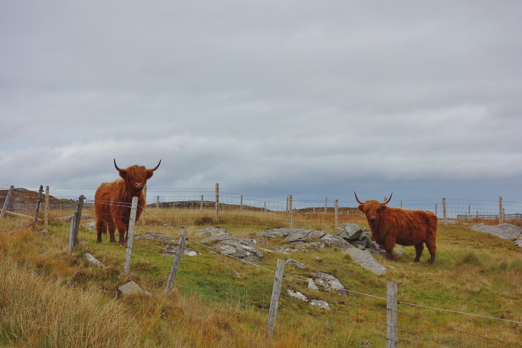
The locals were watching
We carried on out to Bostadh where there was a beach (and also some roads with horrendous hills which I hadn’t spotted and Malky had decided not to point out
)

The beach was lovely though


We wandered past the Iron Age settlement which was closed but looked interesting


Unfortunately we now had to cycle back to the car, but we had picked our camp spot for the night, and I was tempted to stay there and wait for Malky to bring the car down
The views from the high point of the road
A rain shower came in just before we got back to the car but it didn’t last too long, just enough to make us a bit damp
 Cycle - 18.46km, 264m ascent, 1 hour 22 mins:
Back at Bostadh we got the tent up and went for a wander…


More very cool waves

We managed to get dinner cooked before the rain came in and we retreated to the tent. The weather was to be fairly questionable from here
----------------------------------------------------------------------------------------------------------------------------
Monday 19th October 2020Although we had considered staying another night, the weather looked to be closing in and I was tired so we thought we’d cut our losses and get out while we could
(As it turned out this was a good plan as there were a lot of ferries cancelled over the next couple of days)

We got the tent down in between the worst of the showers and decided to have a drive up to Ness as neither of us had been there. The cloud sitting in and around the higher hills

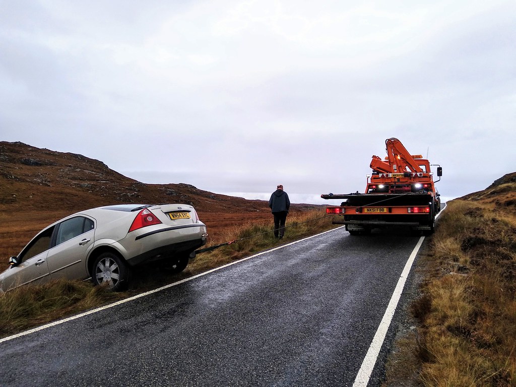
Unfortunately we had a near miss on the road as this car’s brakes failed! Everyone was fine but we felt we ought to wait around until the truck arrived to help the girl who ended up in the ditch
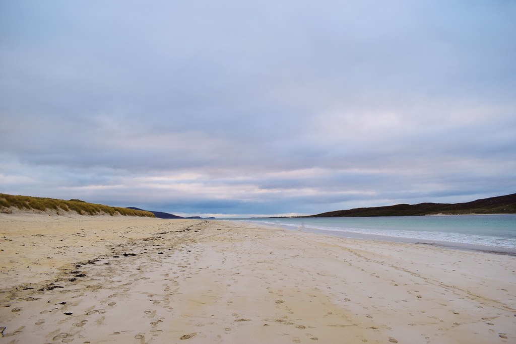
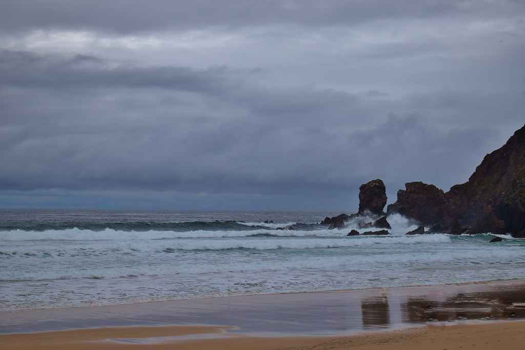
We didn’t have time to get all the way up to Ness now, so just headed up to Dalmore to the beach there to stretch our legs.


[

It was time to head for the ferry, where the crossing was a less pleasant experience to the outward trip as it was raining
Still, it had been a great trip, and lovely to get away for a couple of days. I was very glad of a couple of days on the sofa
